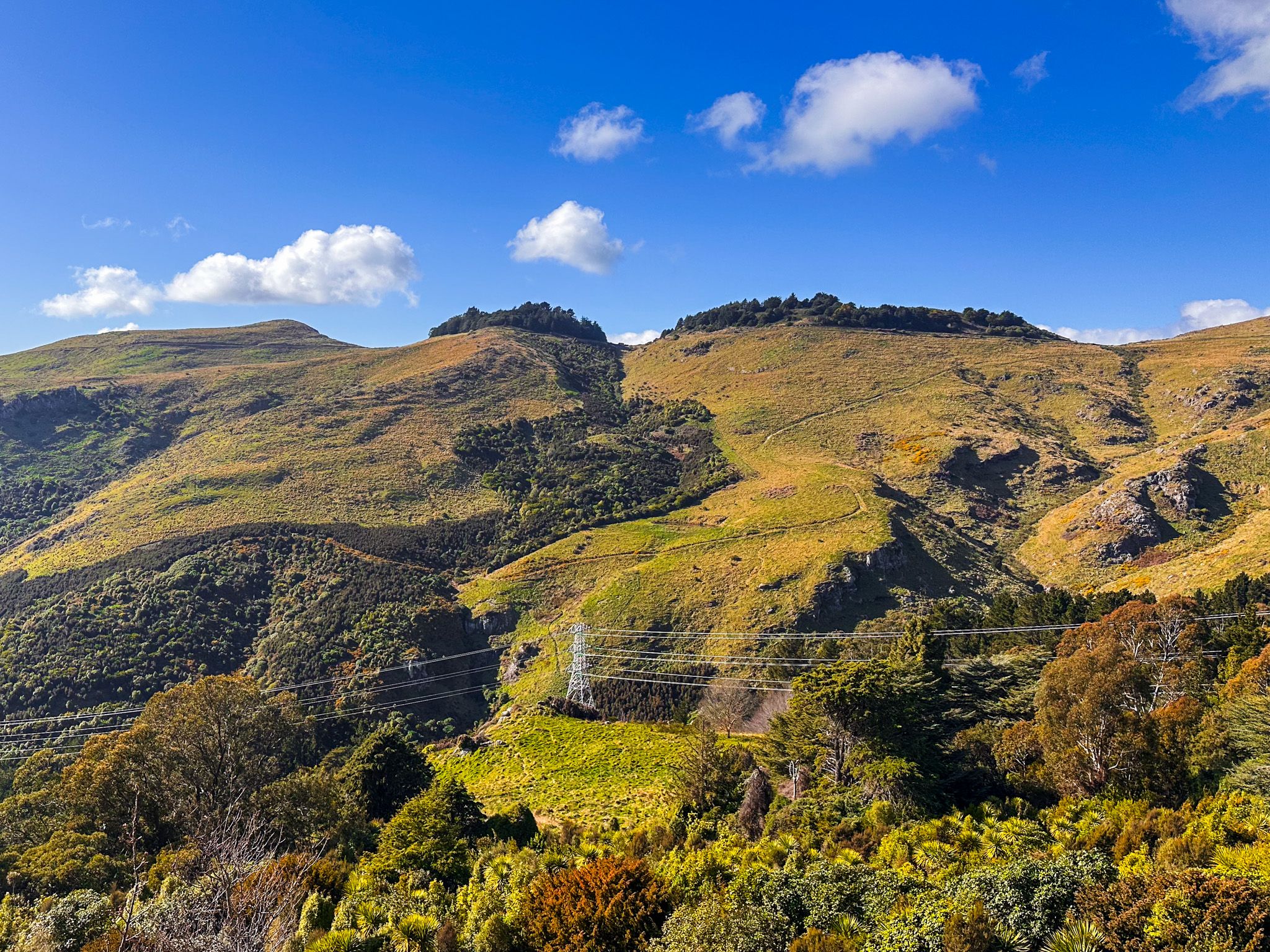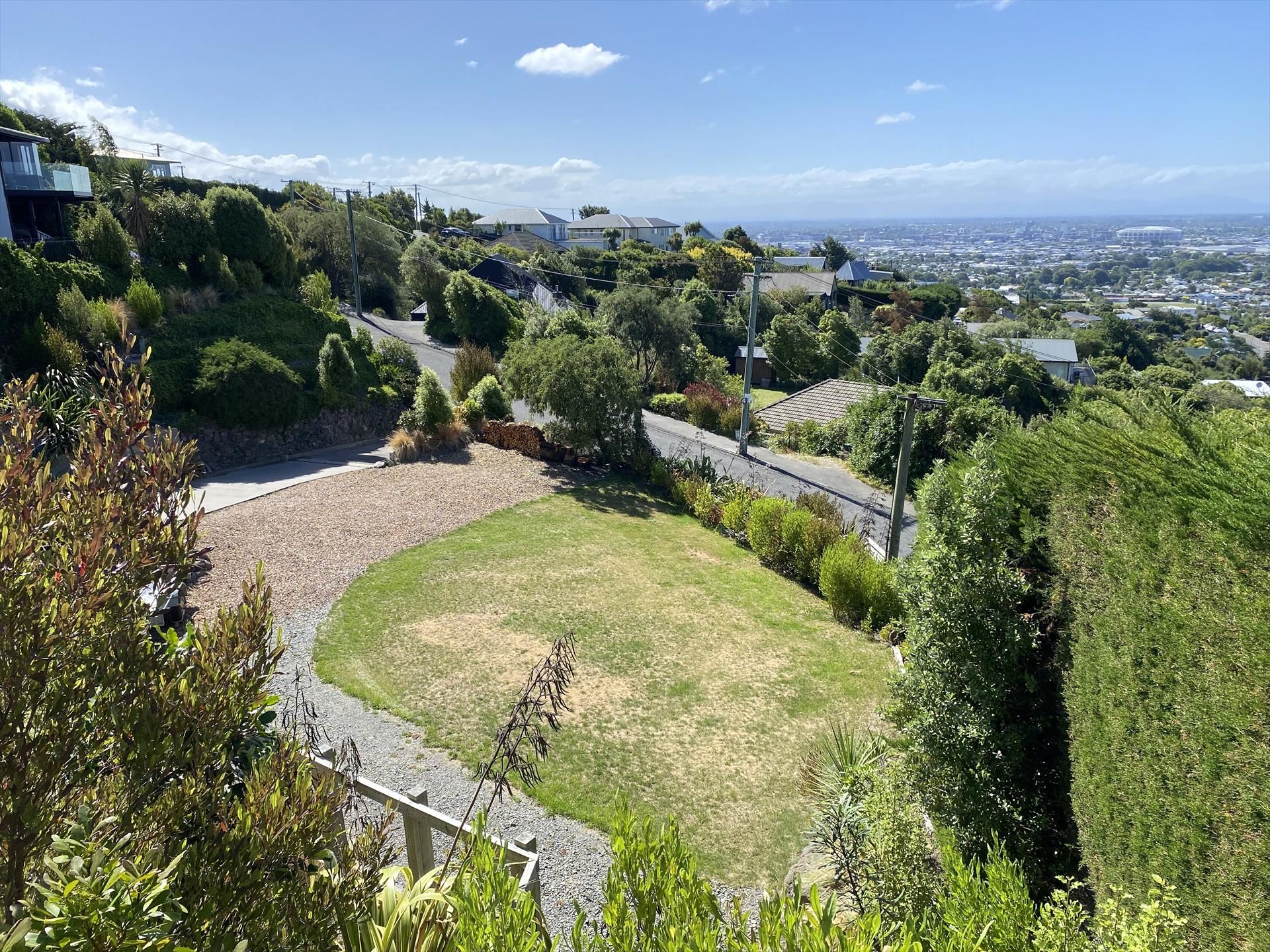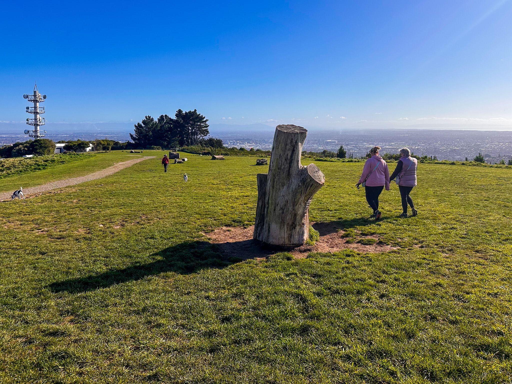
Port Hills Playground above Cashmere
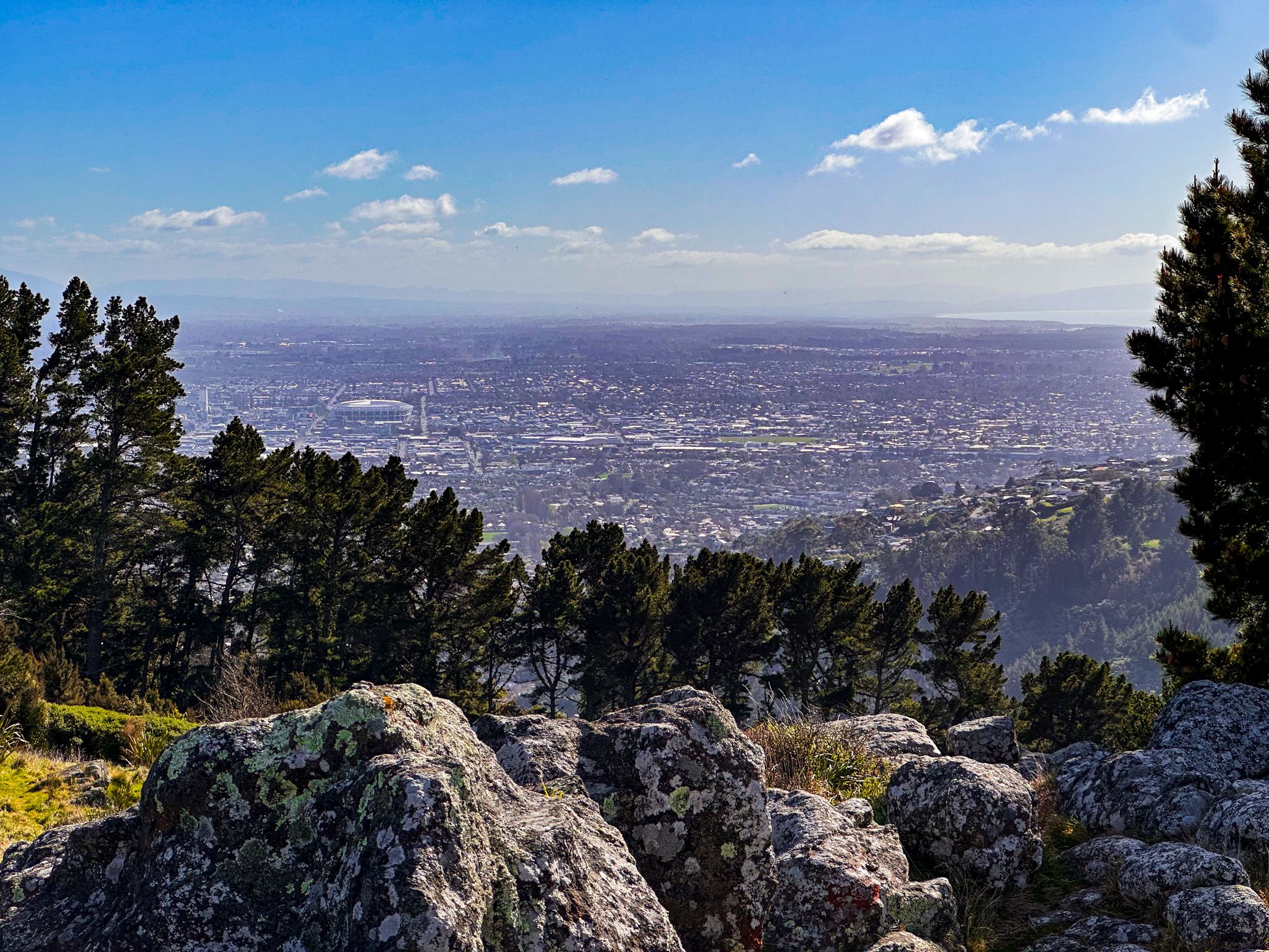
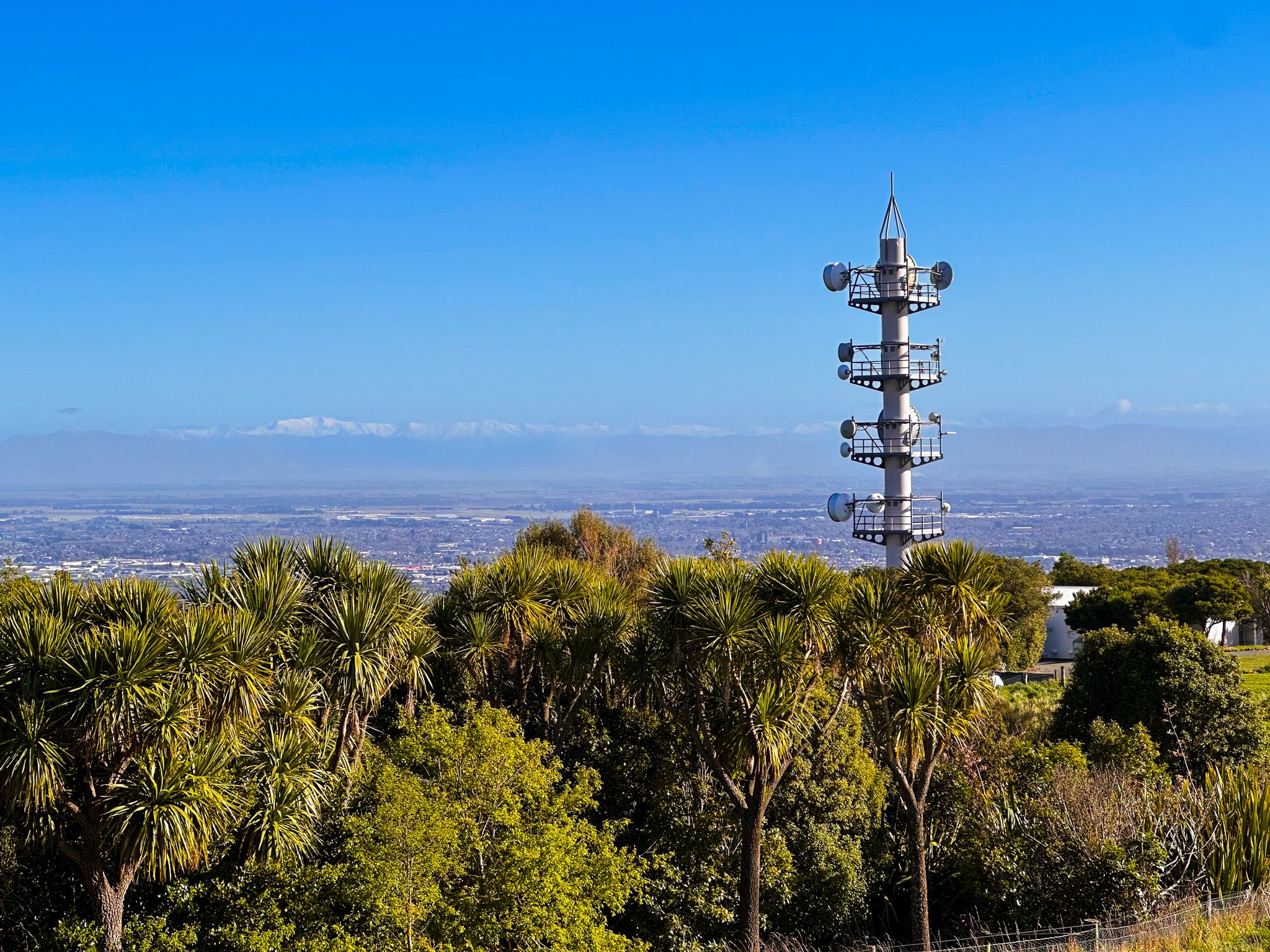
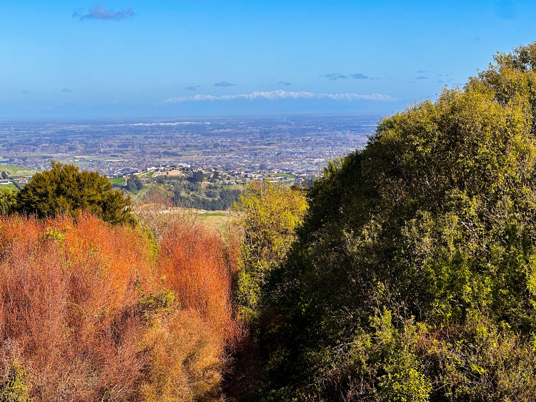
Victoria Park spreads across the lower slopes of the Port Hills above the Christchurch suburb of Cashmere, on gently rising ground below the steeper, craggy crater rim. It is immediately east of Dyers Pass Road and one of the city's oldest and most-used parks, with a range of walking and mountain biking tracks, open grass areas, a wonderful visitor centre, and connections to the wider Port Hills track network.
History and Setting
The reserve was first set aside in 1870, and planting began in the early 1880s under the direction of J.B. Armstrong. The park was formally opened on 22 June 1897 by William Rolleston to mark the Diamond Jubilee of Queen Victoria, after whom it is named.
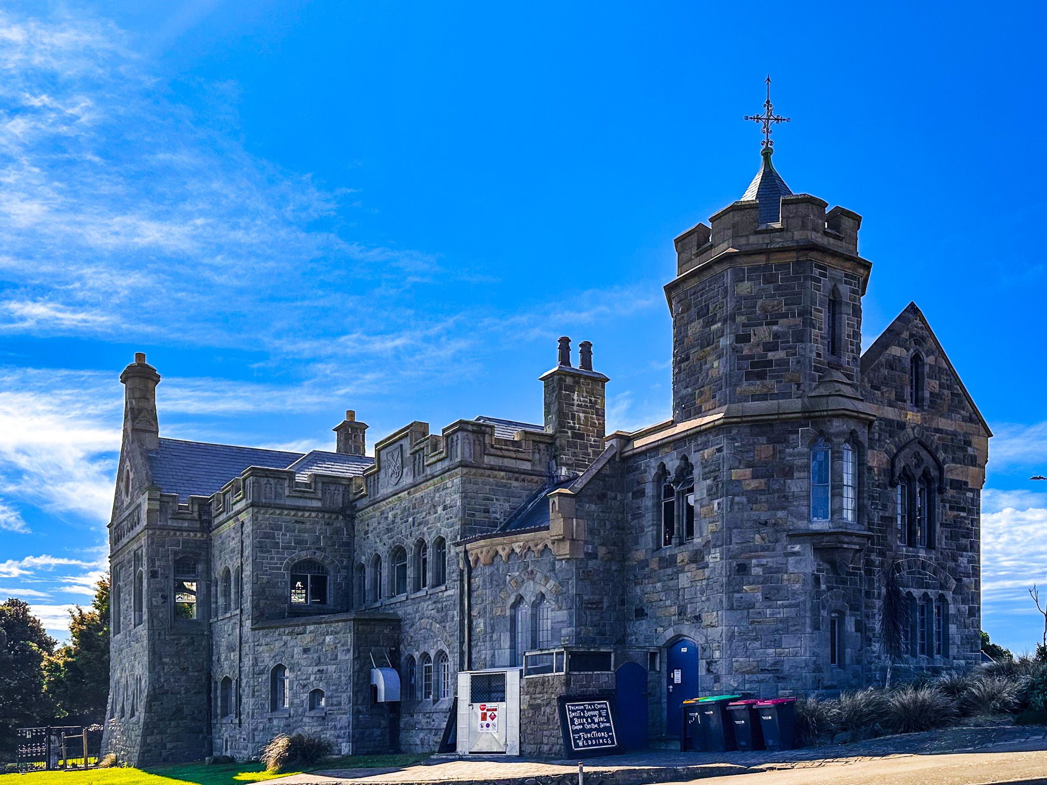
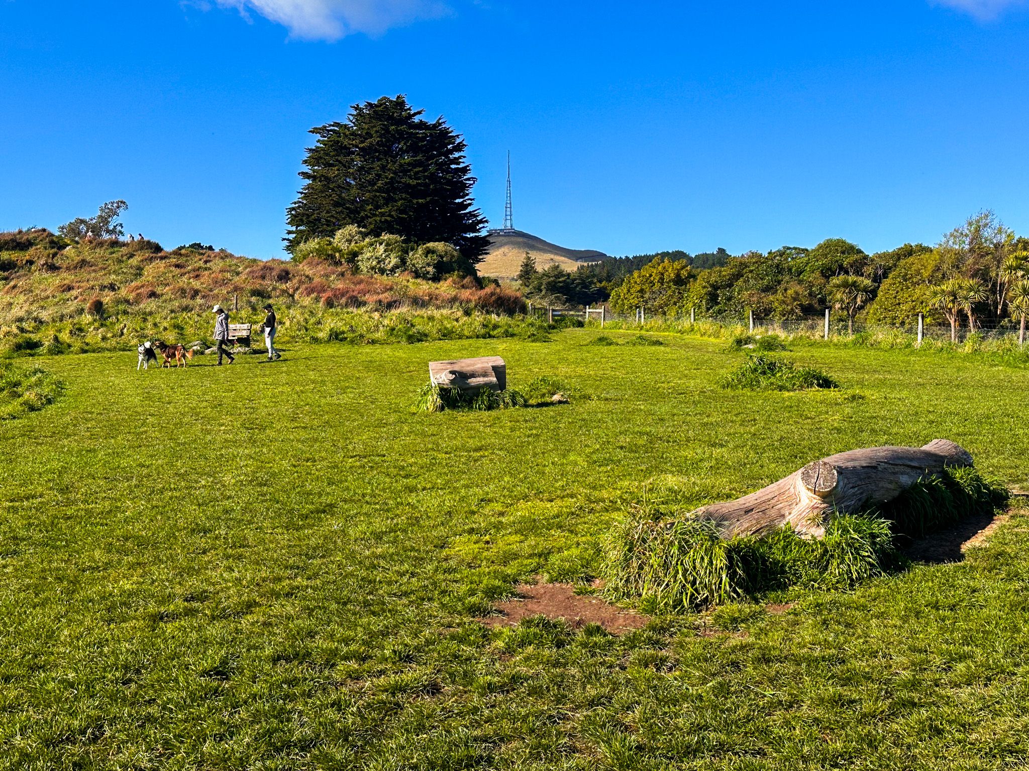
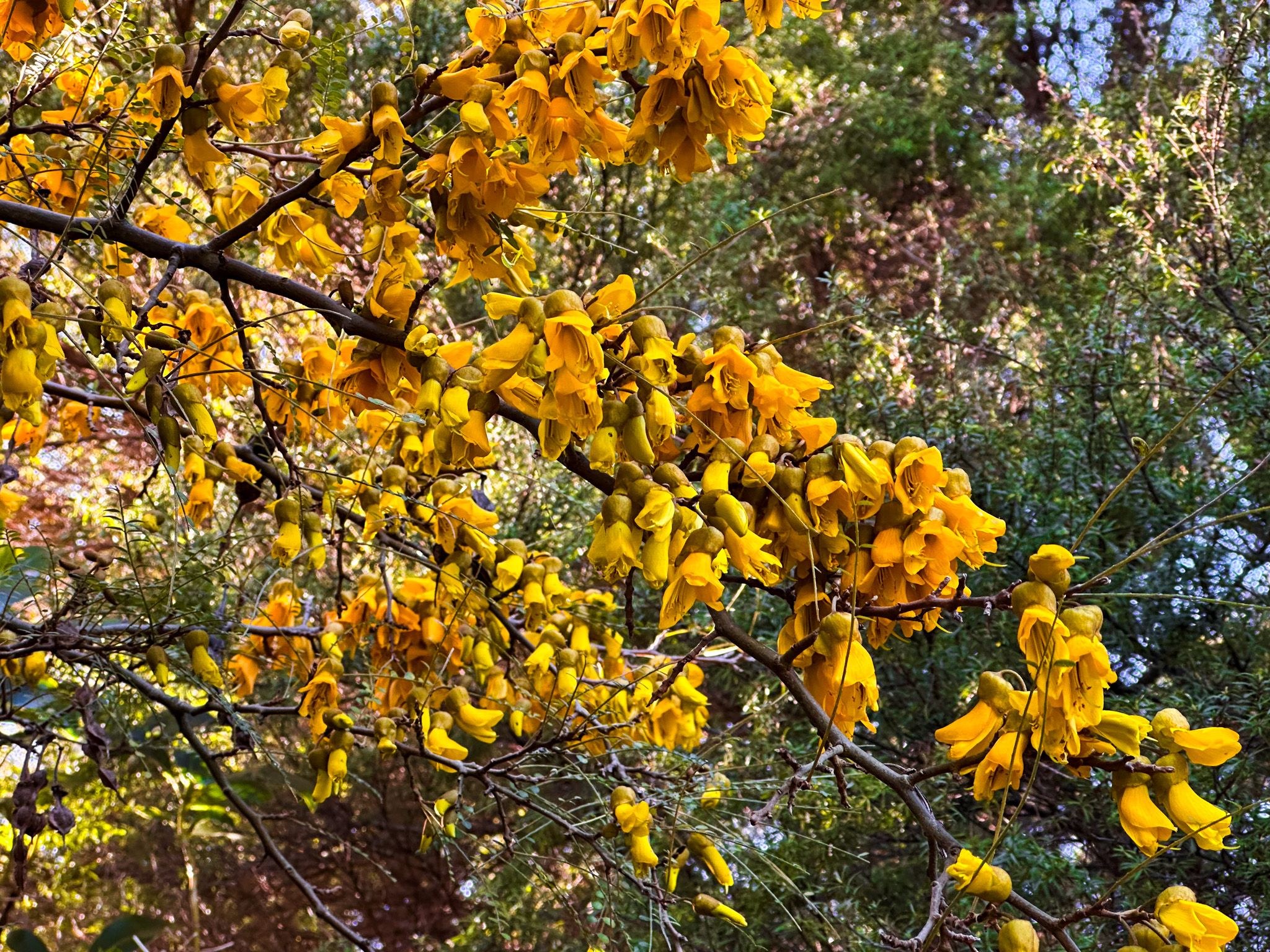
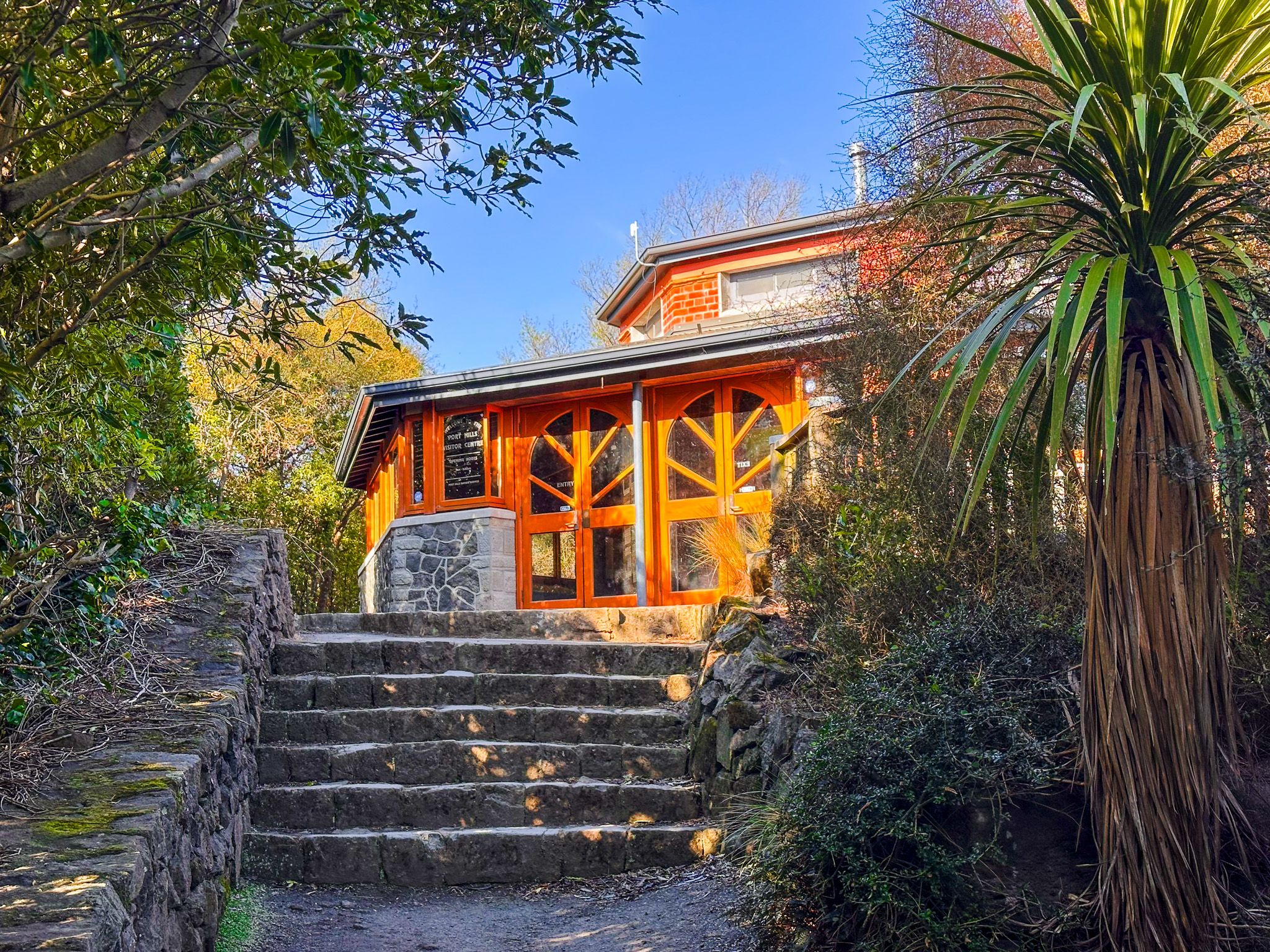
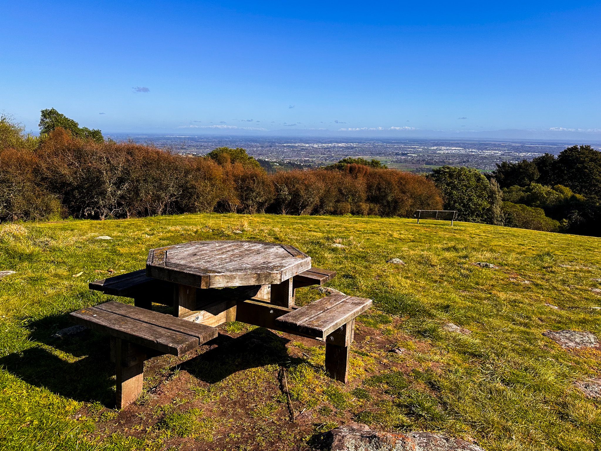
The lower part of the park has large open grass areas, popular with dog walkers; roughly in the middle is a playground and larger parking area, and tucked among native replanting is the visitor centre. The centre is excellent, with colourful interpretation panels, printed interior glass, and displays covering European and Māori history, geology, flora, and fauna.
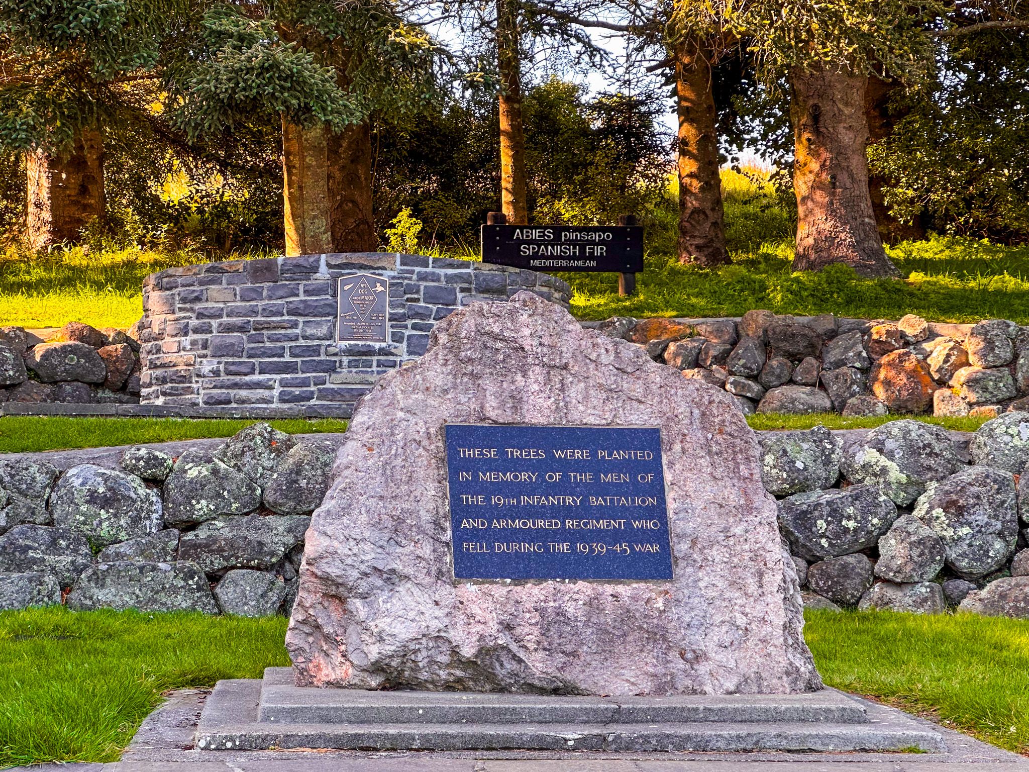
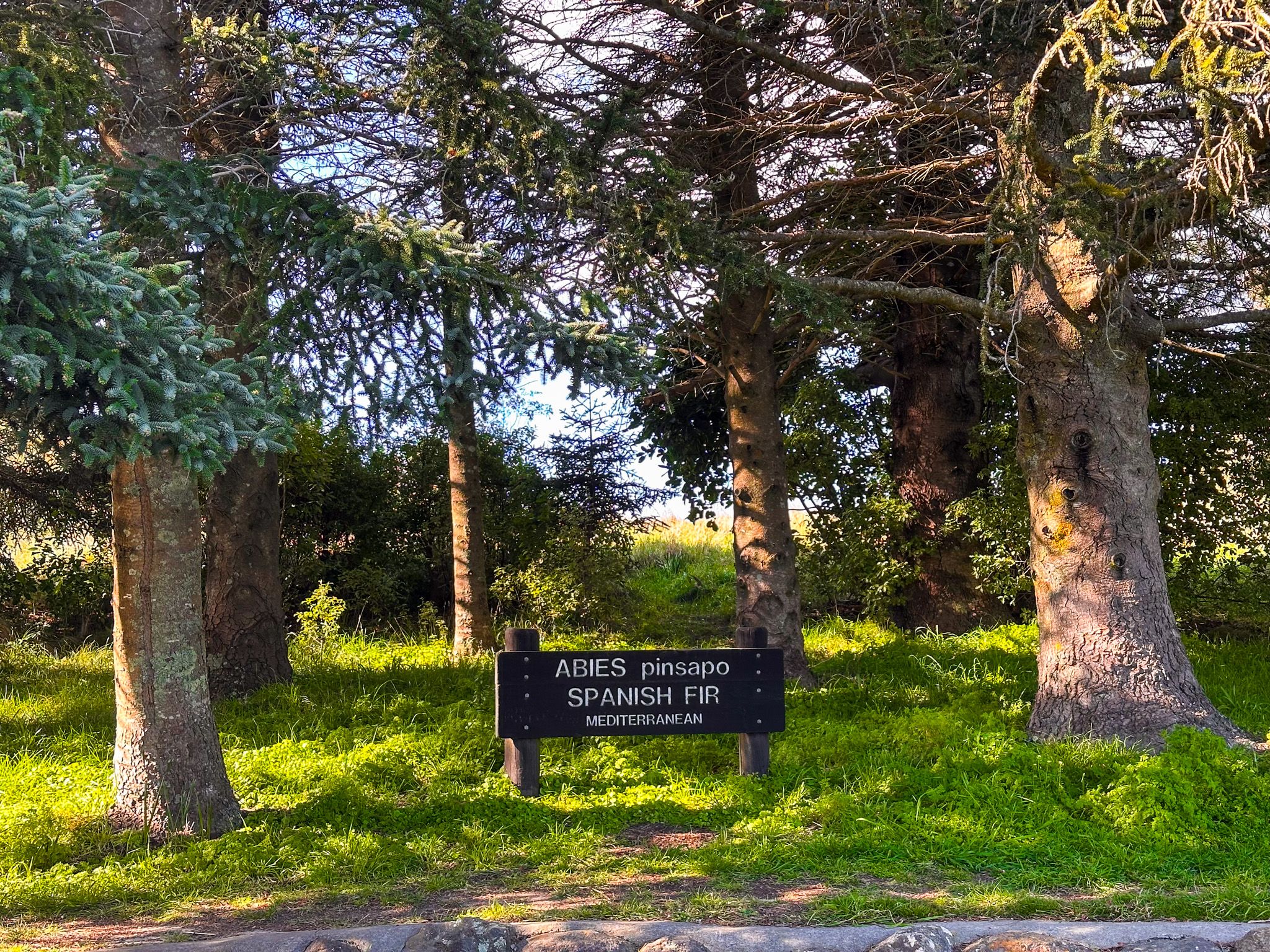
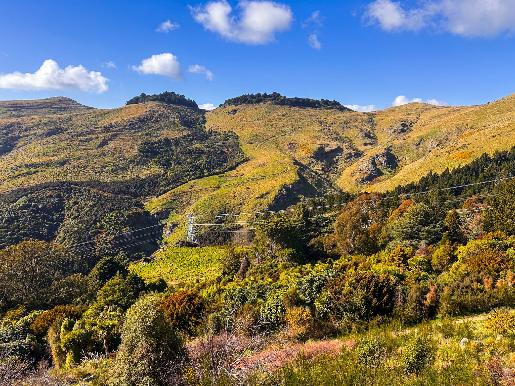
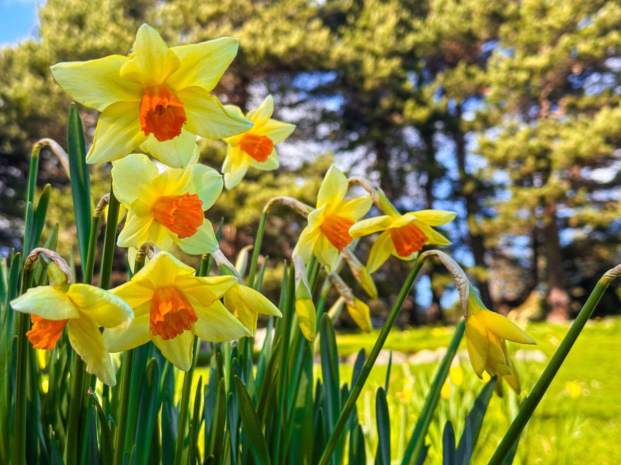
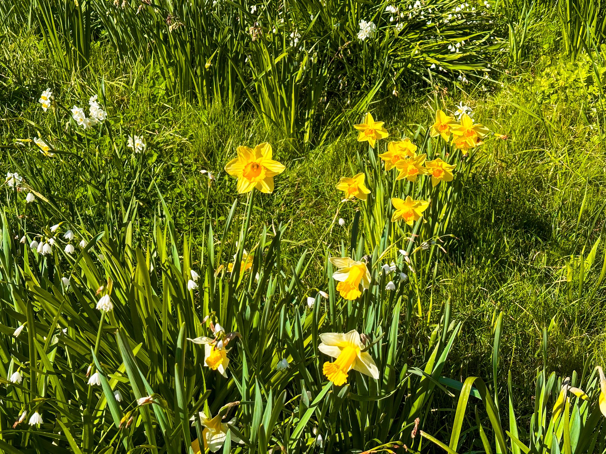
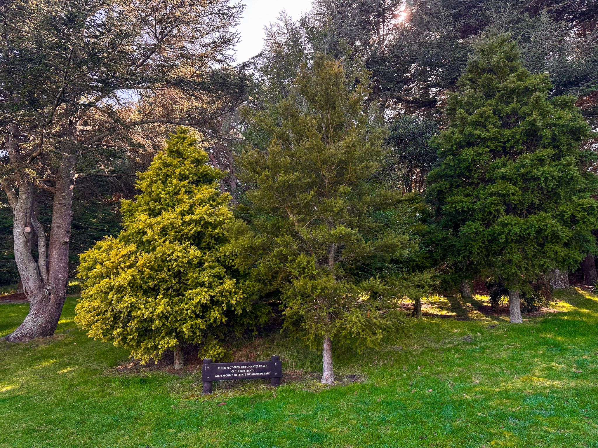
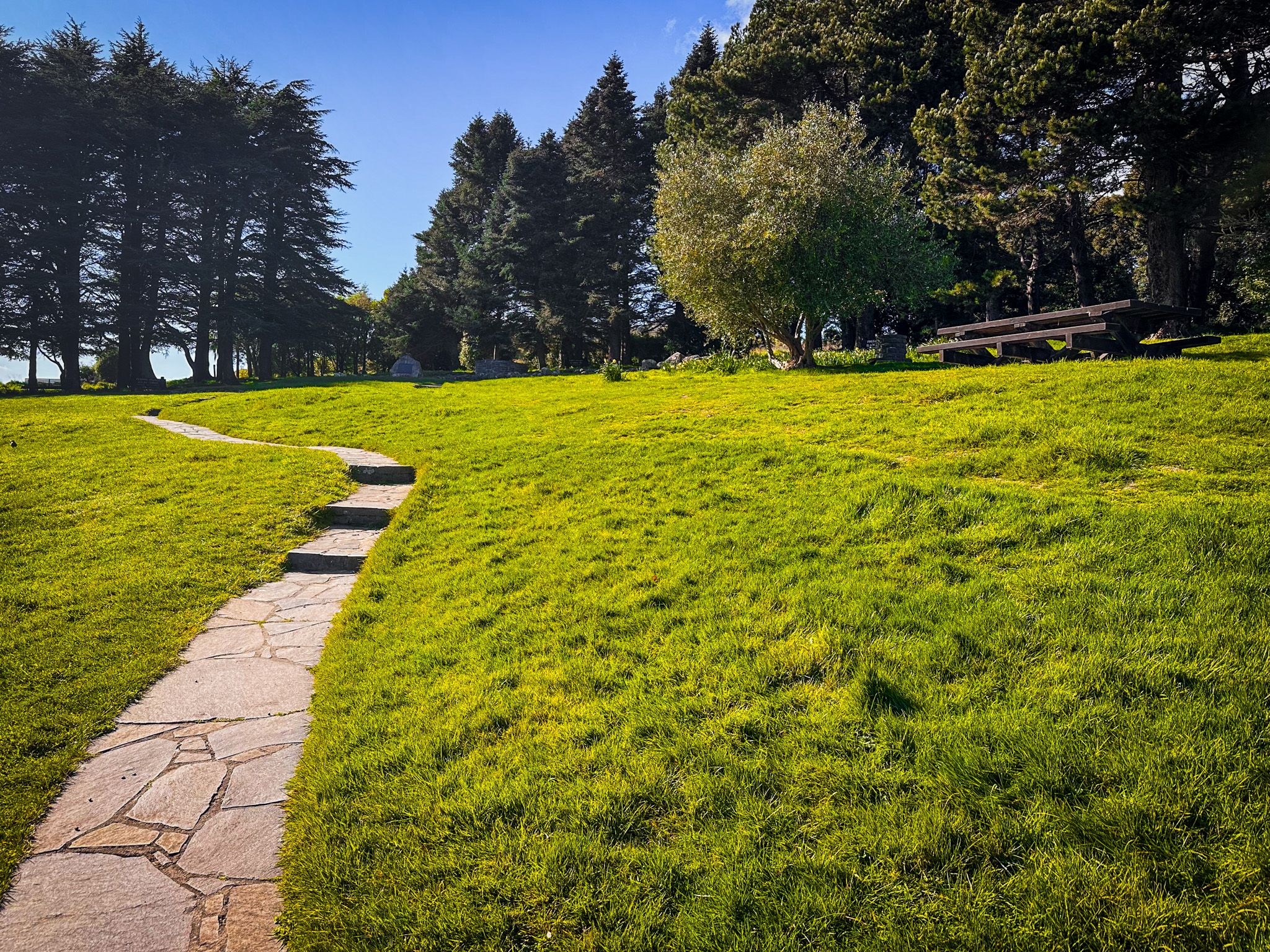
At the upper end of the park, a World War II memorial honours the 19th Infantry Battalion and 19th Armoured Brigade. The memorial sits on a gently sloped area among exotic pine trees from the countries where those soldiers served. Daffodils pop up in Spring and you can push through the trees to a volcanic outcrop with good views of the summit slopes above.
A Famous Crime Scene
Victoria Park is the site of one of New Zealand's most notorious crimes. In 1954, two Christchurch schoolgirls, Pauline Parker and Juliet Hulme, murdered Parker's mother, Honora, in the park. The case has inspired books, plays, and Peter Jackson's Oscar-nominated 1994 film Heavenly Creatures. The park itself gives little away, as there is no memorial marker. However, the event is a darker point of fascination for some visitors.
Walks and Tracks
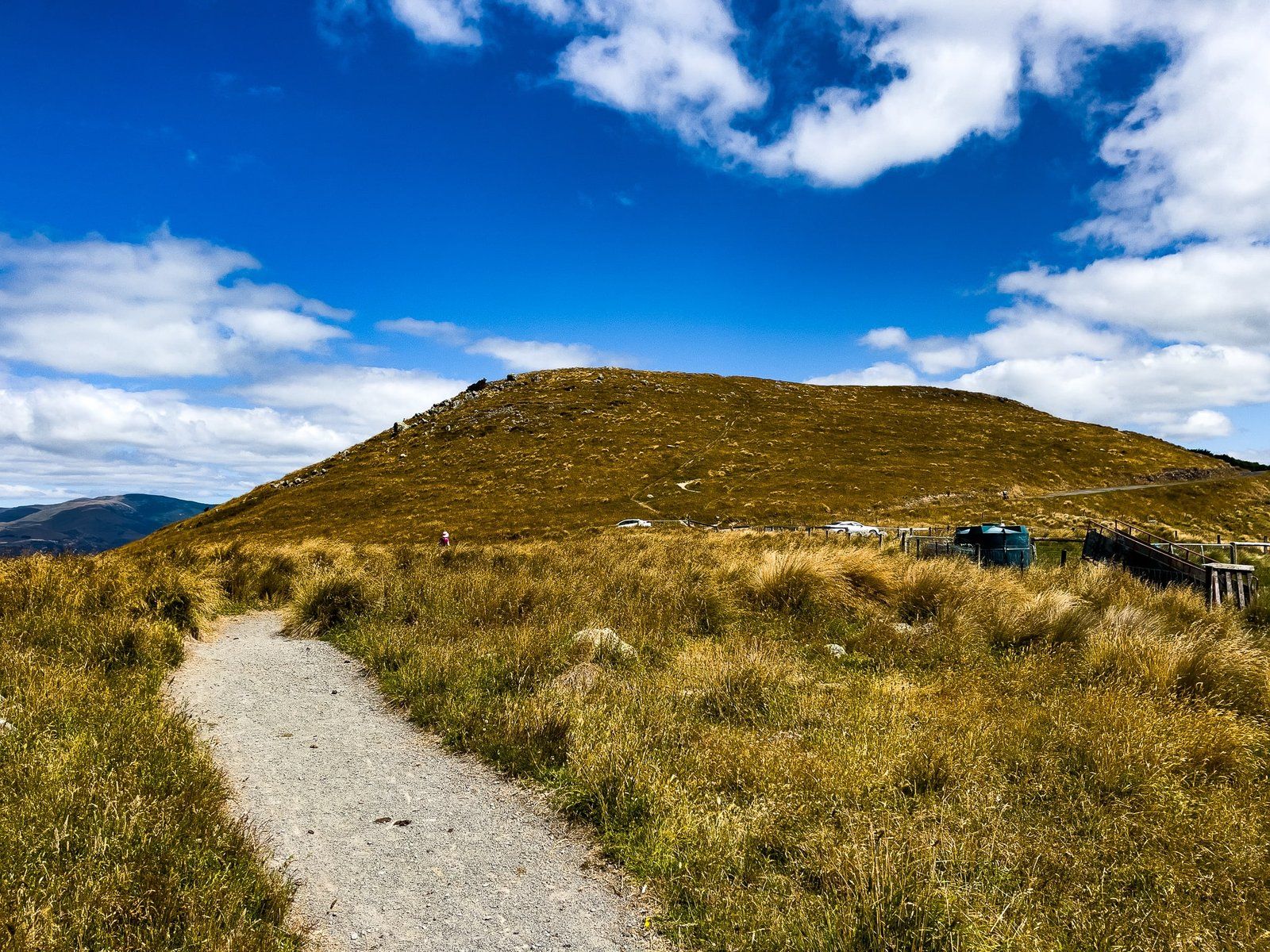
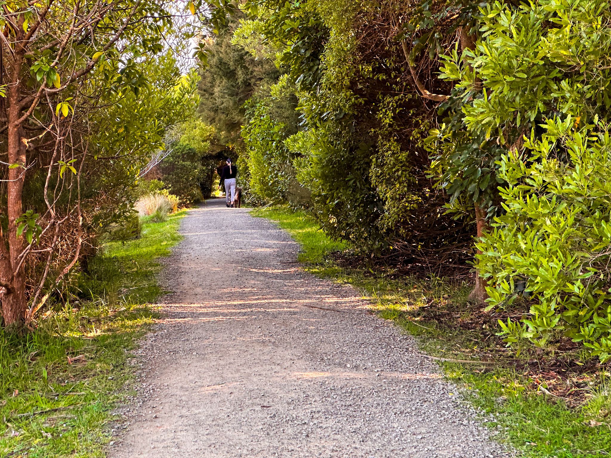
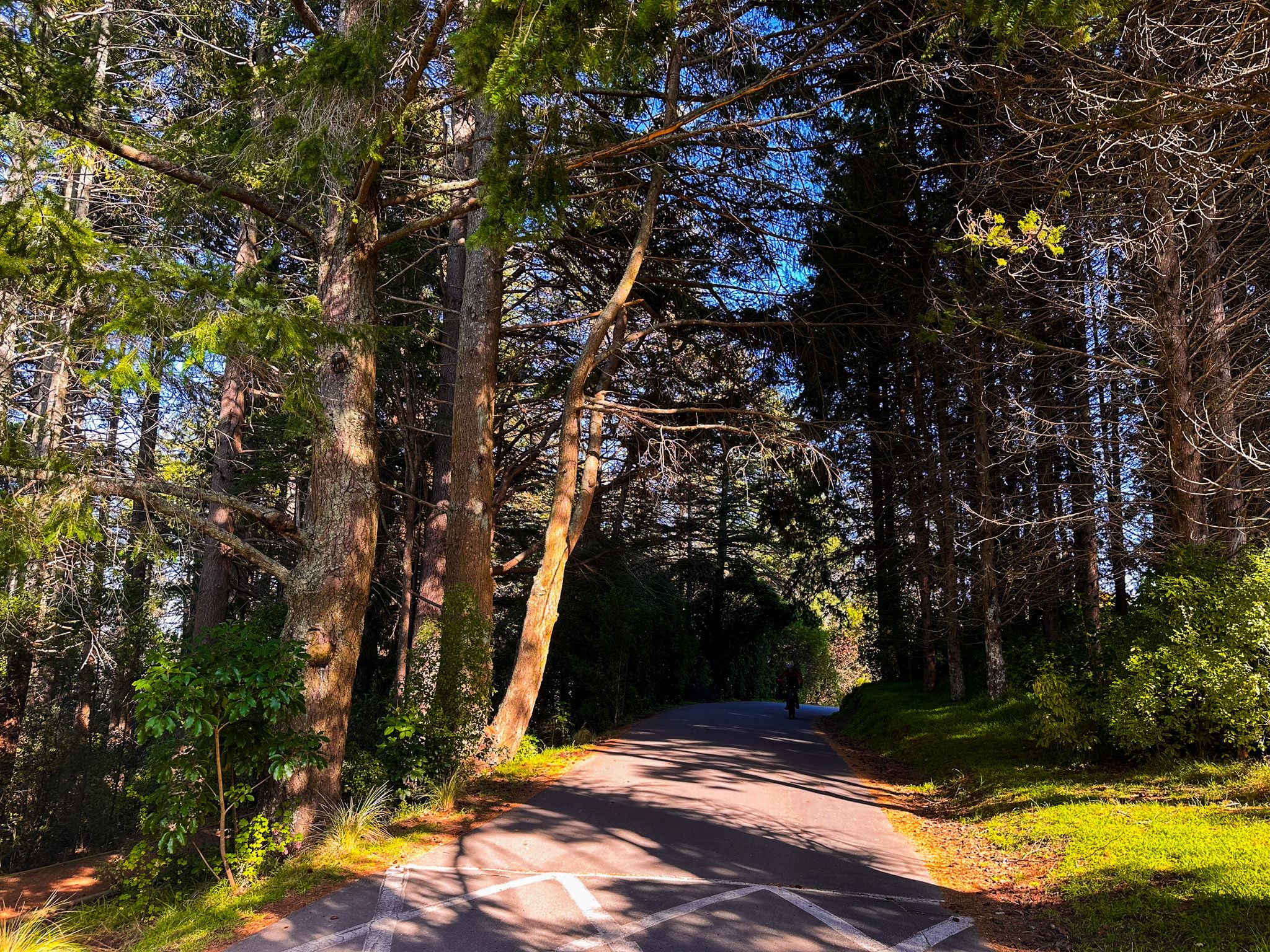
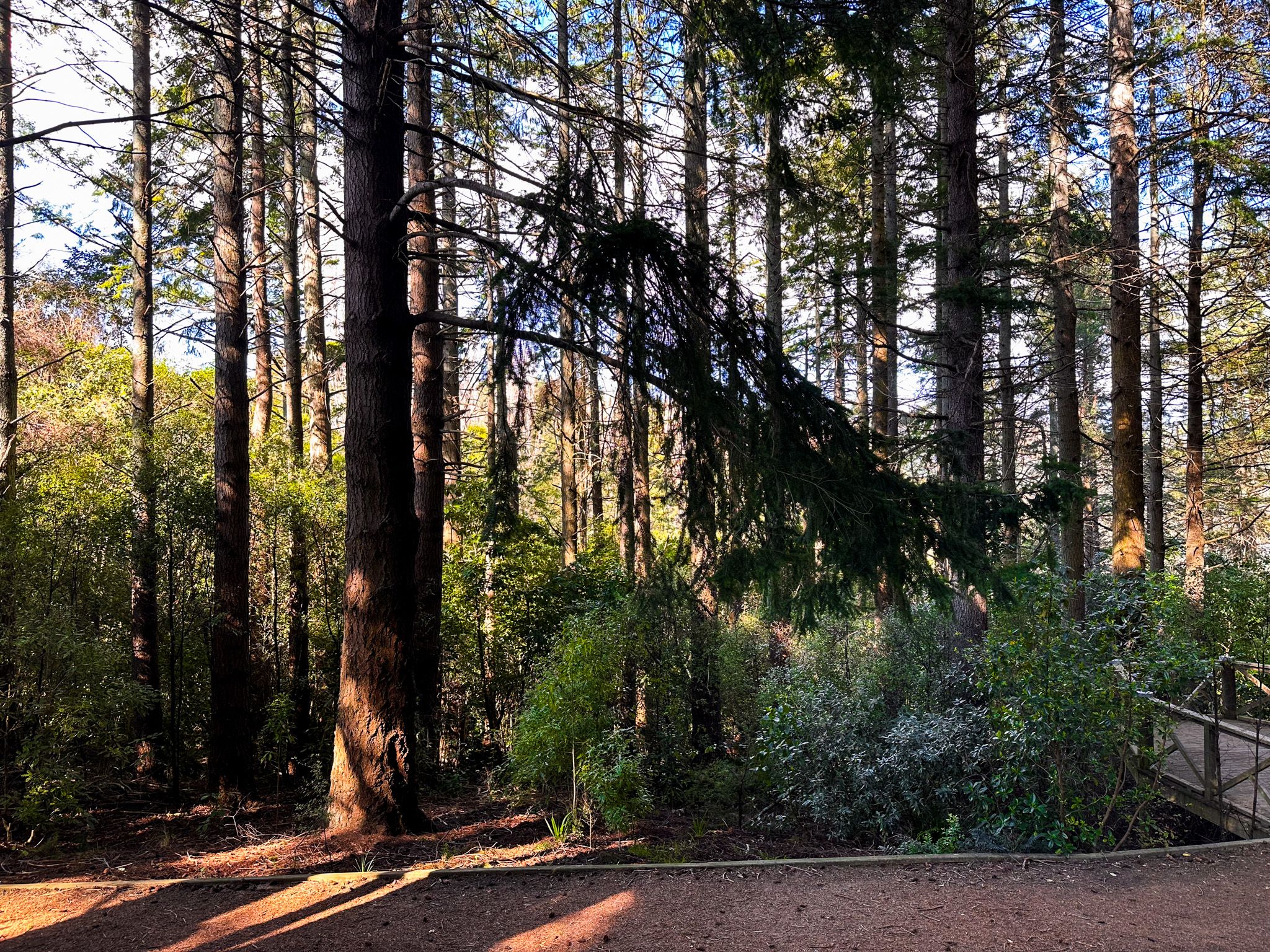
The park has a variety of walking tracks with different levels of difficulty. The Harry Ell Walkway climbs 2 km from near the visitor centre to the Sign of the Kiwi at Dyers Pass, taking around an hour one way. The Bowenvale Valley Track, Thomsons Track, and Latters Spur Track provide loop options of varying length. Mountain biking tracks extend into the adjacent Bowenvale Reserve, including the challenging Nationals Down Hill Track. A permanent orienteering course begins near the visitor centre, and map packs are available there.
How to Get There
From central Christchurch, take Colombo Street to Dyers Park Road, then turn north onto Hackthorne Road at Sign of the Takahe, followed by another sharp turn south onto Victoria Park Road. There are several parking areas once you enter the park. Continuing south on the road takes you back to Dyer Pass Road. Bus route 1 to Cashmere reaches as far as the Sign of the Takahē, a short walk downhill from the park entrance.
Nearby places to visit include the Sign of the Kiwi, Mt Vernon, Hoon Hay Scenic Reserve, Sign of the Bellbird and Kennedy’s Bush, John Jameson Lookout and Gibralter Rock.