Discover the Waikanae River Track
The Waikanae River Track follows the Waikanae River from the Kāpiti Coast township of Waikanae to the Waikanae Estuary at the Tasman Sea. This easy, mostly flat walking and cycling track winds through native bush, farmland, and wetlands, providing a peaceful riverside journey suitable for all ages and fitness levels. The track also forms part of Te Araroa.
Exploring the Waikanae River
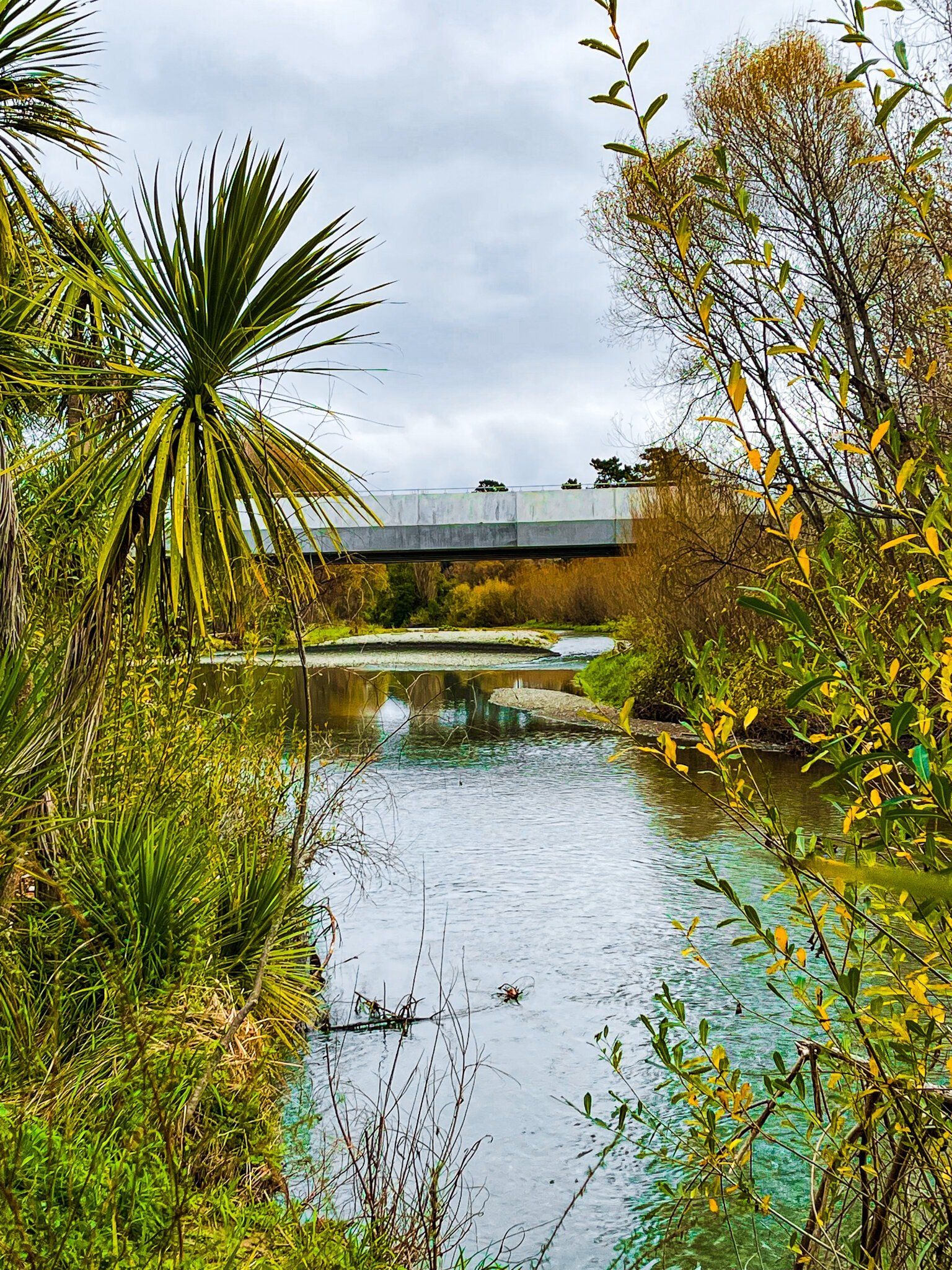
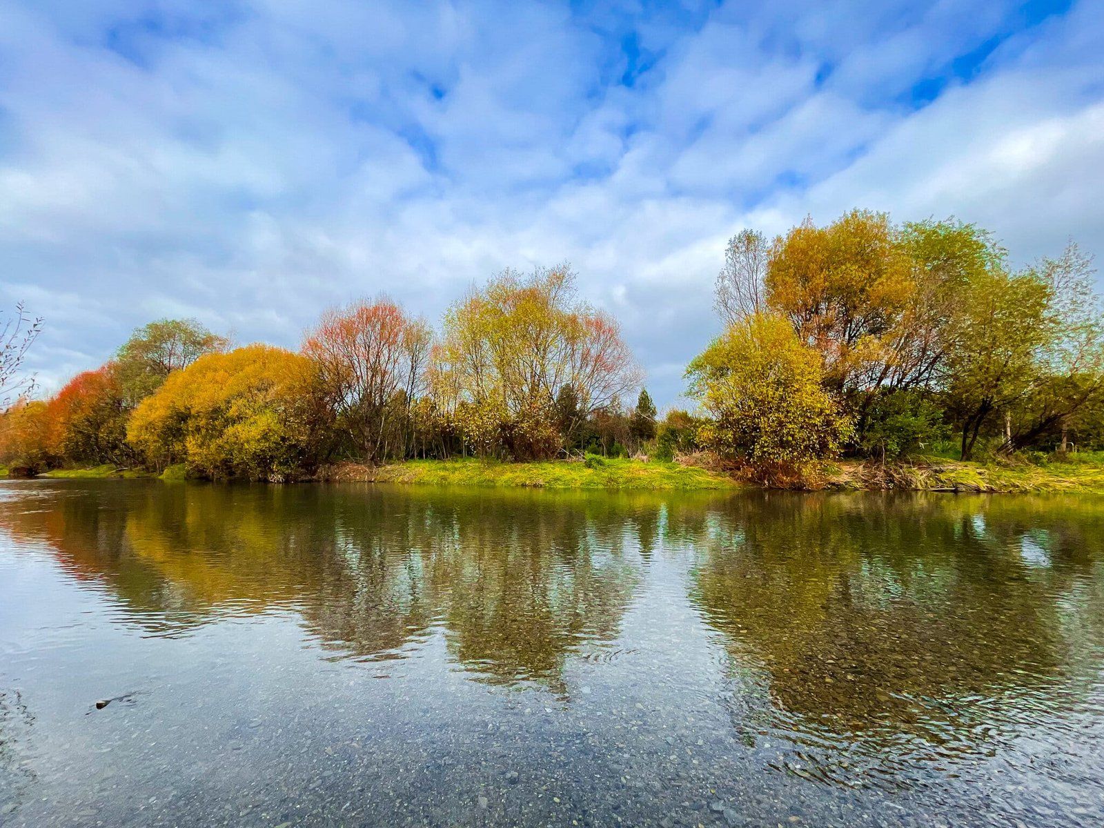
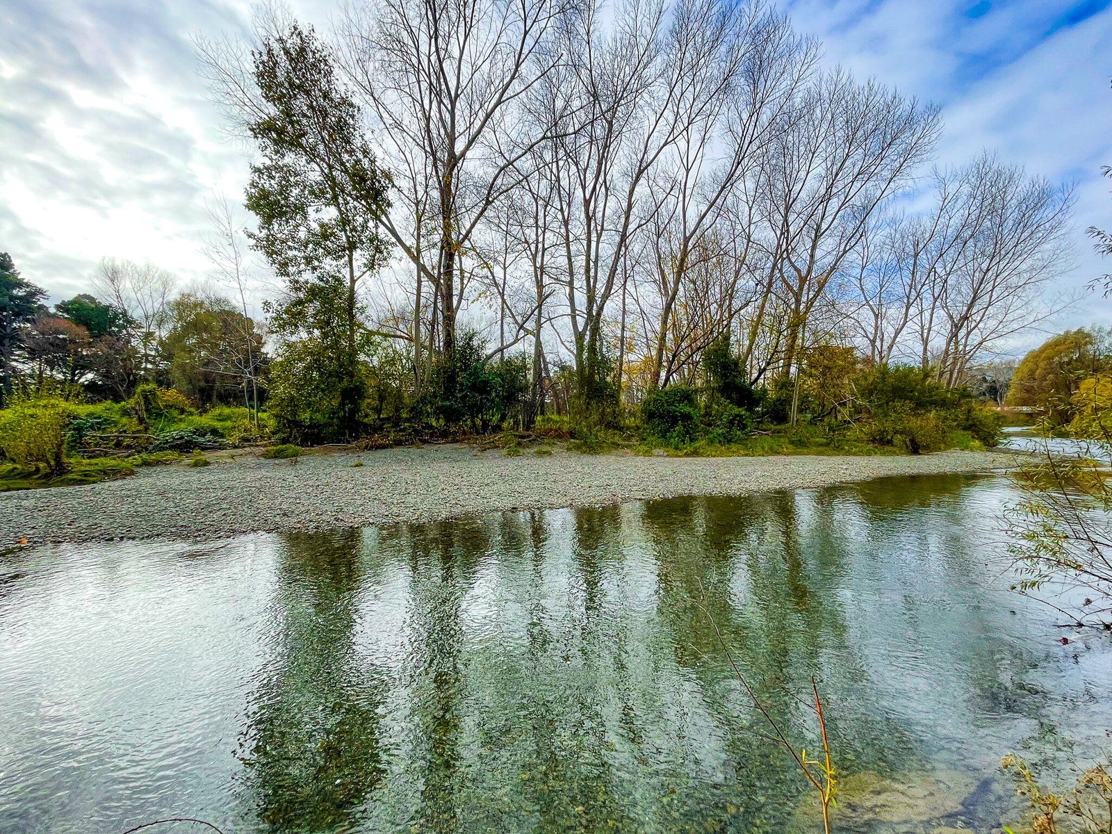
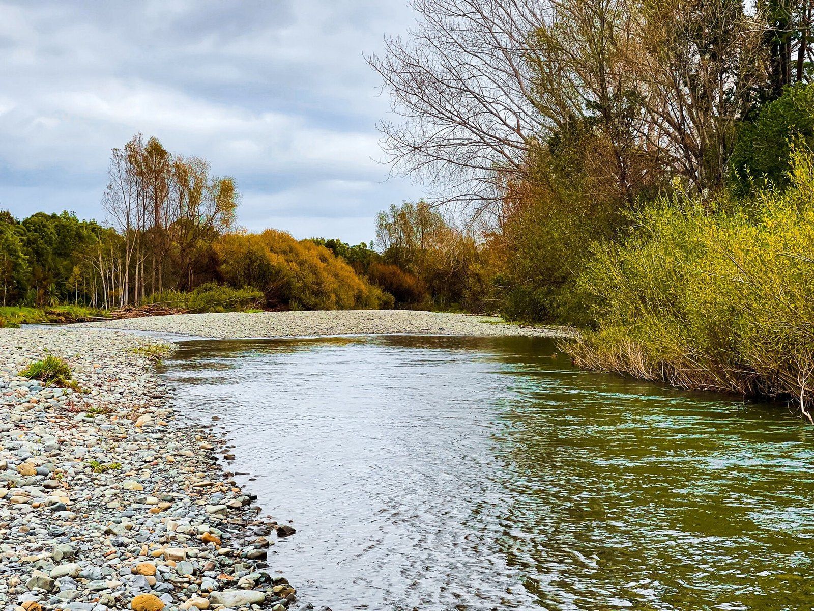
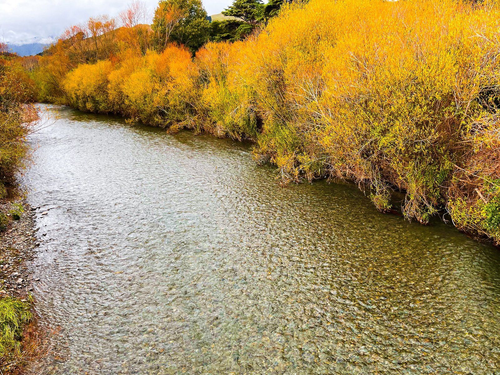
The river is a constant companion on the walk, with the track following close to the water on both sides of the river for most of its length. The clear water reveals the river's stony bed, and in summer, swimming holes provide refreshing stops.
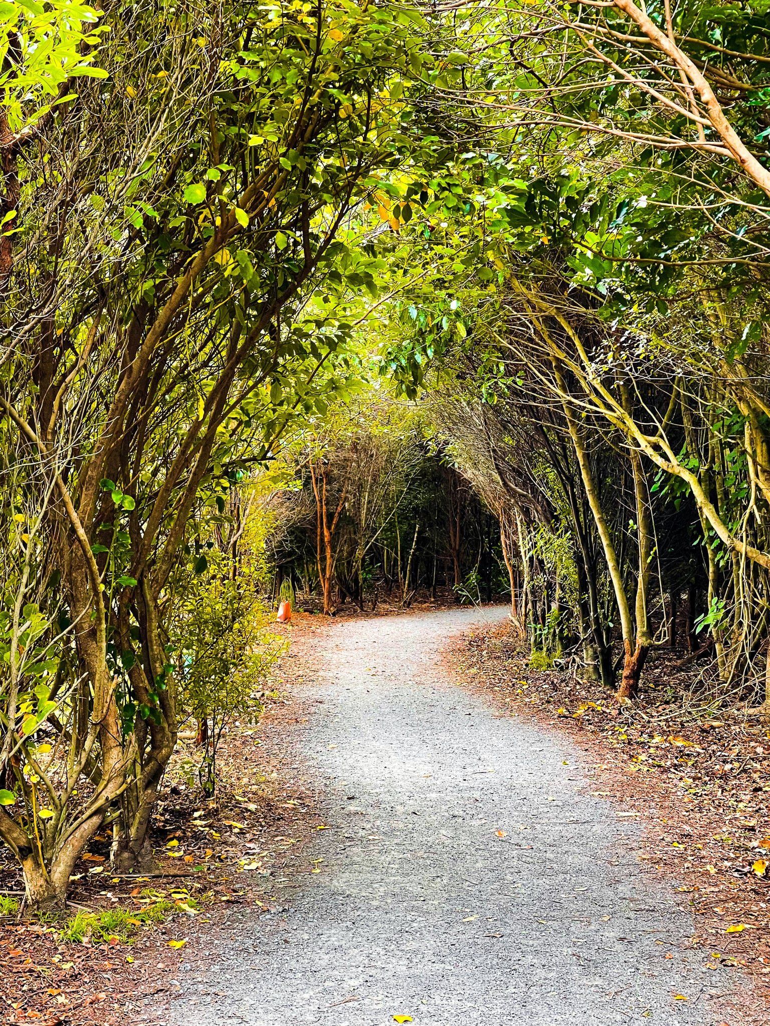
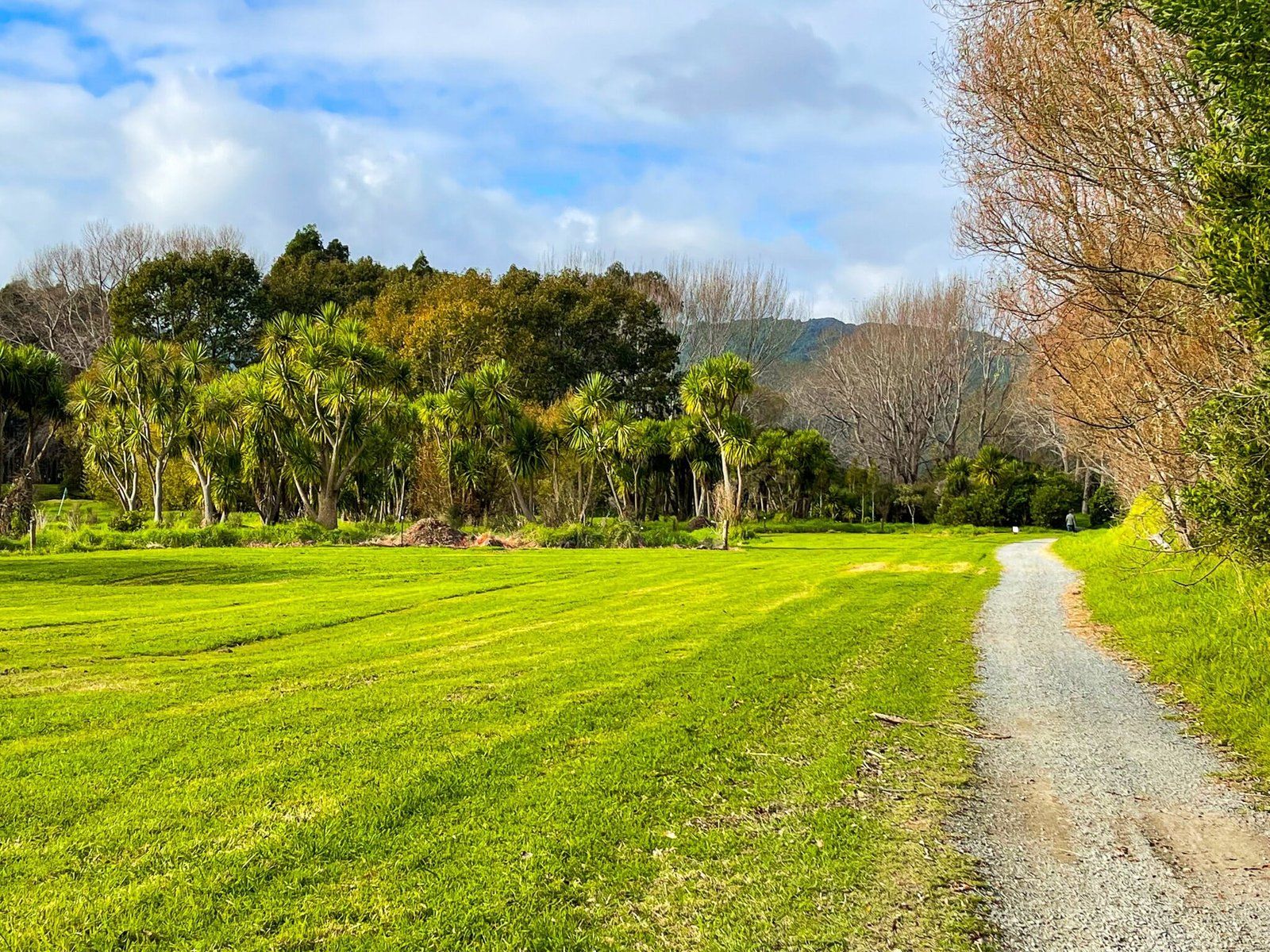
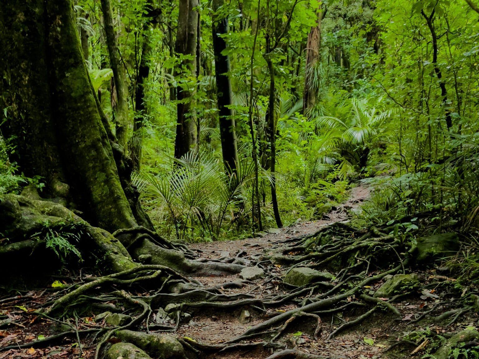
Regrowth native bush sections feature tōtara, kahikatea, and cabbage trees, with understory plants including ferns and flax. These areas provide habitat for native birds, including tūī, fantails, and grey warblers.
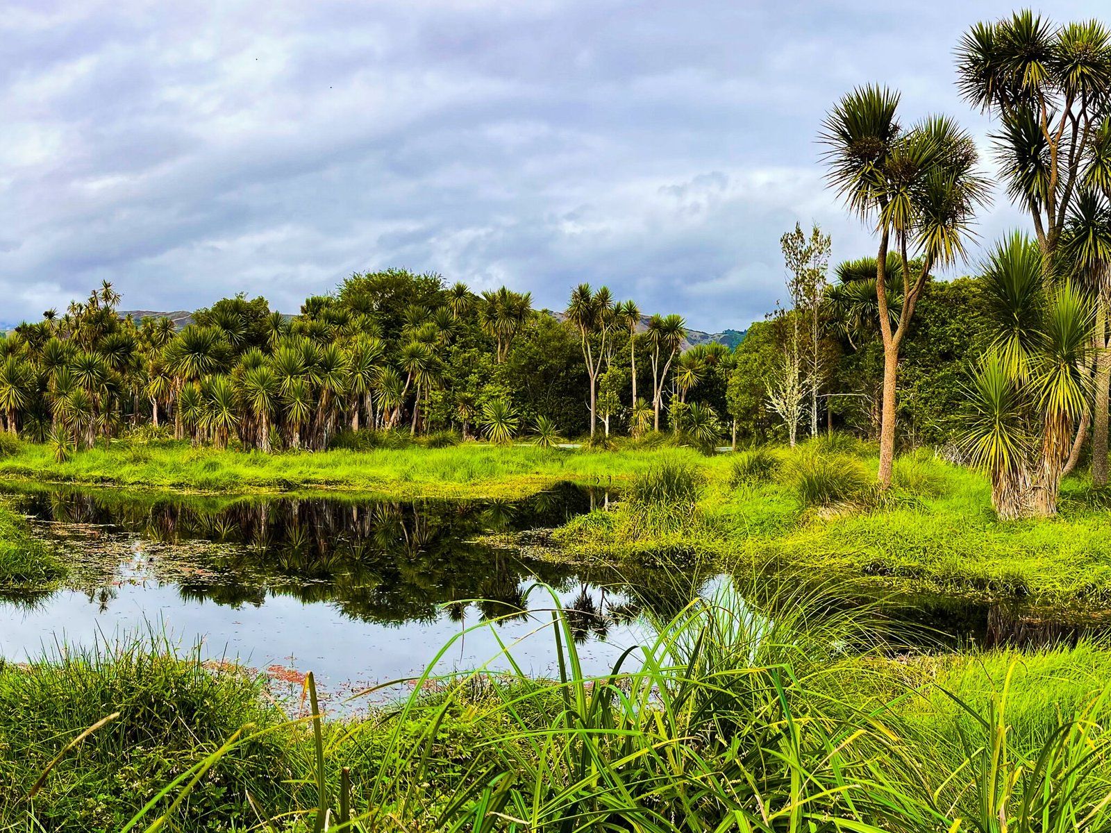
The river supports native fish, including eels and whitebait, while shags and kingfishers hunt along the banks. Wetland areas near the coast attract waterfowl, including pukeko, paradise shelduck, and various wading birds. These wetlands are particularly productive during migration seasons when visiting species join resident populations.
The Waikanae Estuary at the track's coastal end is a Scientific Reserve protecting crucial coastal wetland habitat. The estuary's mix of fresh and salt water creates rich feeding grounds for birds, and the dunes and beach provide classic Kāpiti Coast scenery.
Walk, Cycle, Swim and Fish
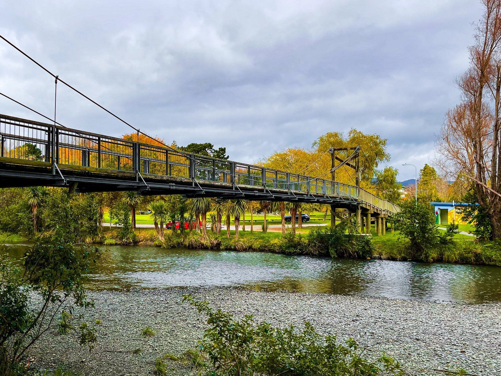
Walking and cycling are the primary activities, with the track's flat, well-maintained surface suitable for all abilities. The track from Waikanae township to the river mouth is approximately 6 km one way, taking 1.5-2 hours to walk or 30-45 minutes to cycle. Shorter walks are possible by using various access points along the route.
The track is popular with families, with the easy terrain and enjoyable river environment keeping children engaged. Swimming in the river is popular during summer, with several deep pools providing safe swimming spots.
Fishing is permitted in the river (check current regulations). The river is known for whitebait runs during spring, though whitebaiting requires a permit and knowledge of regulations.
Historical Food Source to Community Track
The Waikanae River has been central to the area's history for centuries. For Te Āti Awa, the local iwi, the river provided food, water, and transport. The river's name comes from the Māori words 'wai' (water) and 'kanae' (mullet), reflecting the fish species that were abundant in the river and estuary.
European settlement from the 1840s brought changes to the river and the surrounding land. Farming development cleared much of the native forest, though some remnants were preserved along the riverbanks. Over time, the river became important to the growing Waikanae community, providing water and recreation.
Today, the track represents the successful integration of recreation, conservation, and community values, protecting the river corridor while providing public access.
How to Get There
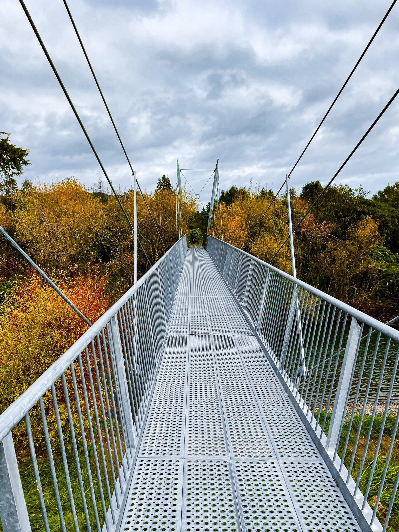
There are multiple access points to the track on both sides of the river. At the east end, the track starts by the Main Highway Bridge, just south of the town. There is also access at Edgewater Park, River Glade and Nimmo Avenue East. At the west end, the track can be accessed on Makro Road on the south side and Tutetere Street on the north side. From Wellington, it is a 50-minute, 63 km drive to the Main Street entrance.
Public transport is excellent, with regular train services on the Kāpiti Line connecting Waikanae to Central Wellington and other Kāpiti Coast towns. From the Waikanae train station, it is a 600-metre walk south along Main Road.
The track connects with other Kāpiti Coast walks, including beach walks and the Waikanae Estuary boardwalk, allowing extended explorations. Other places to explore nearby include Hemi Matenga Reserve, Nga Manu, and the Barry Hadfield Nikau Reserve.