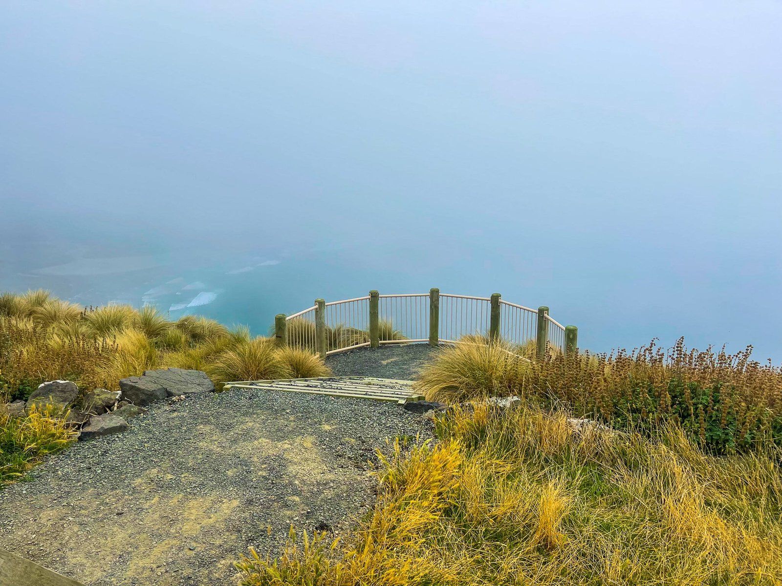
Discovering the Alans Beach Viewpoint
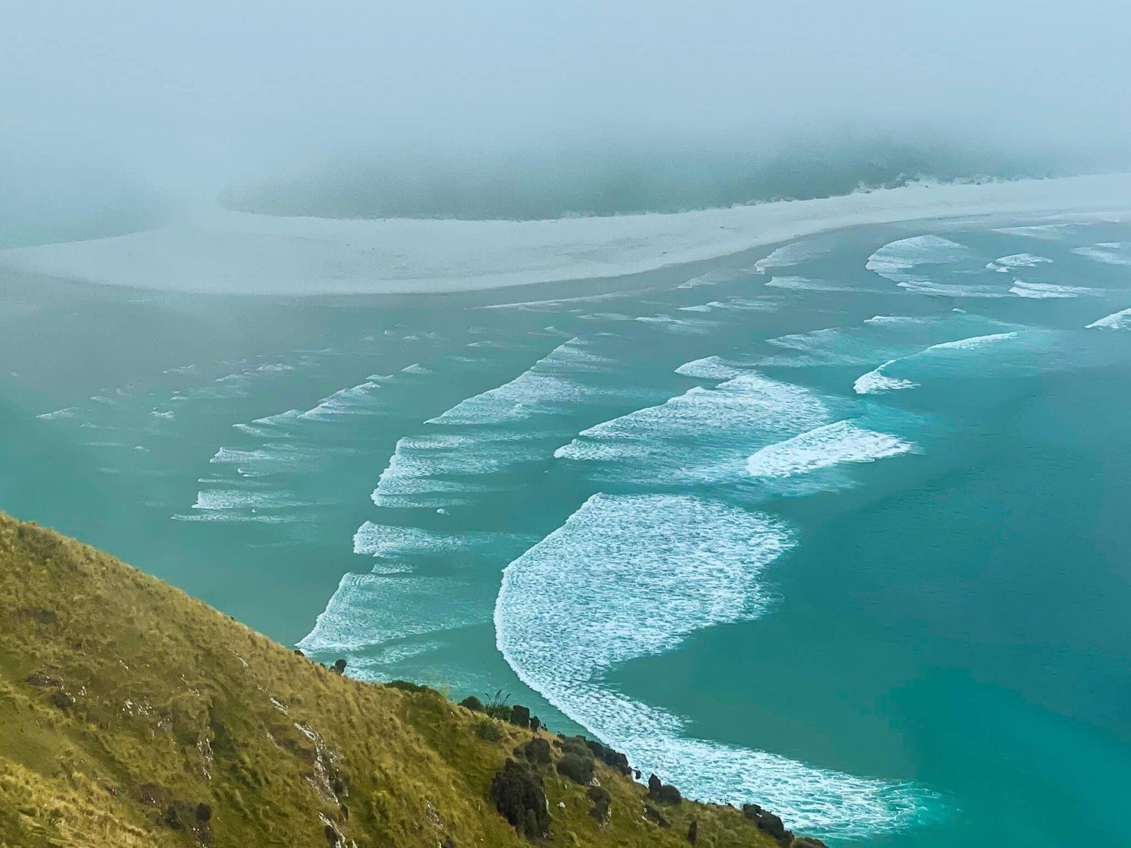
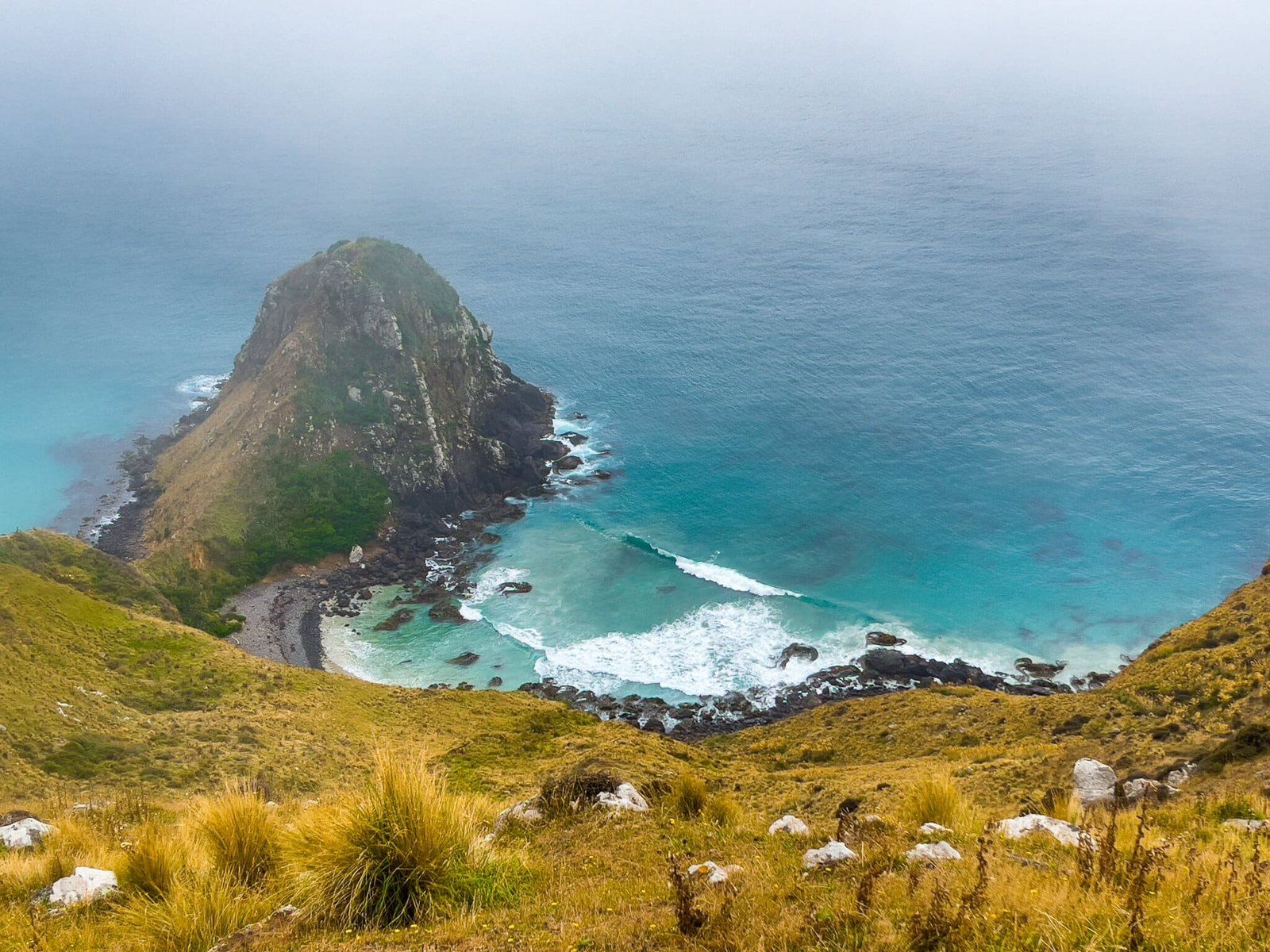
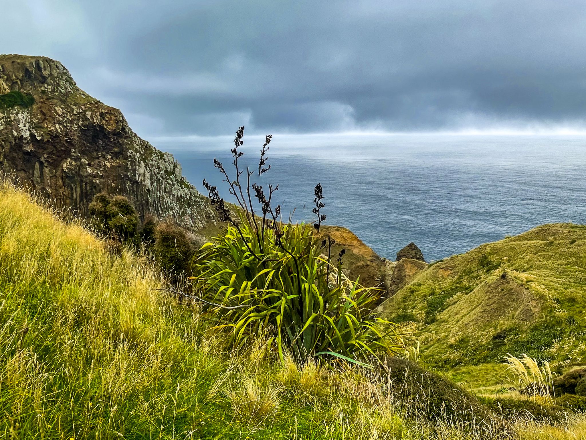
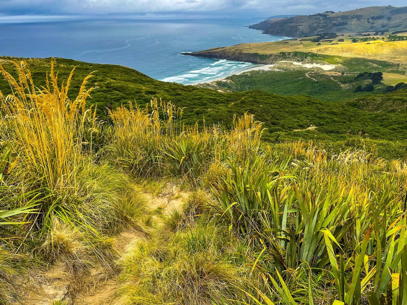
Located on the Otago Peninsula, the Sandymount Loop Track provides a scenic walk with dramatic views and historical features. As you walk along the track, you'll encounter a viewpoint with views towards Hoopers Inlet, Allans Beach and the 409-metre-high Mt Charles. Even if fog partially obscures the view, the vista is superb.
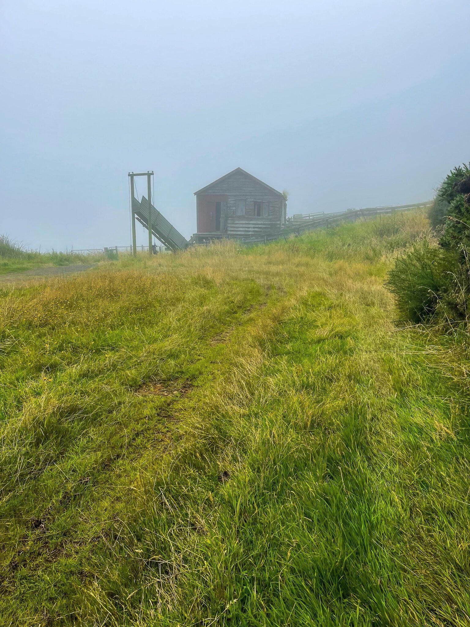
Track to the Viewpoint
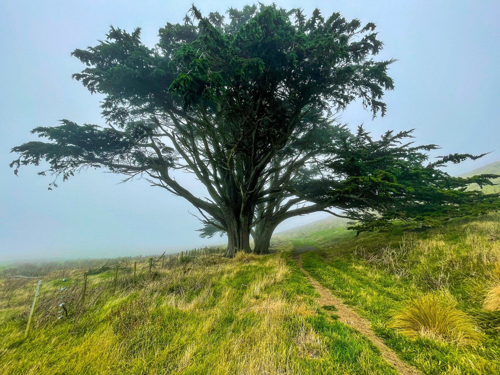
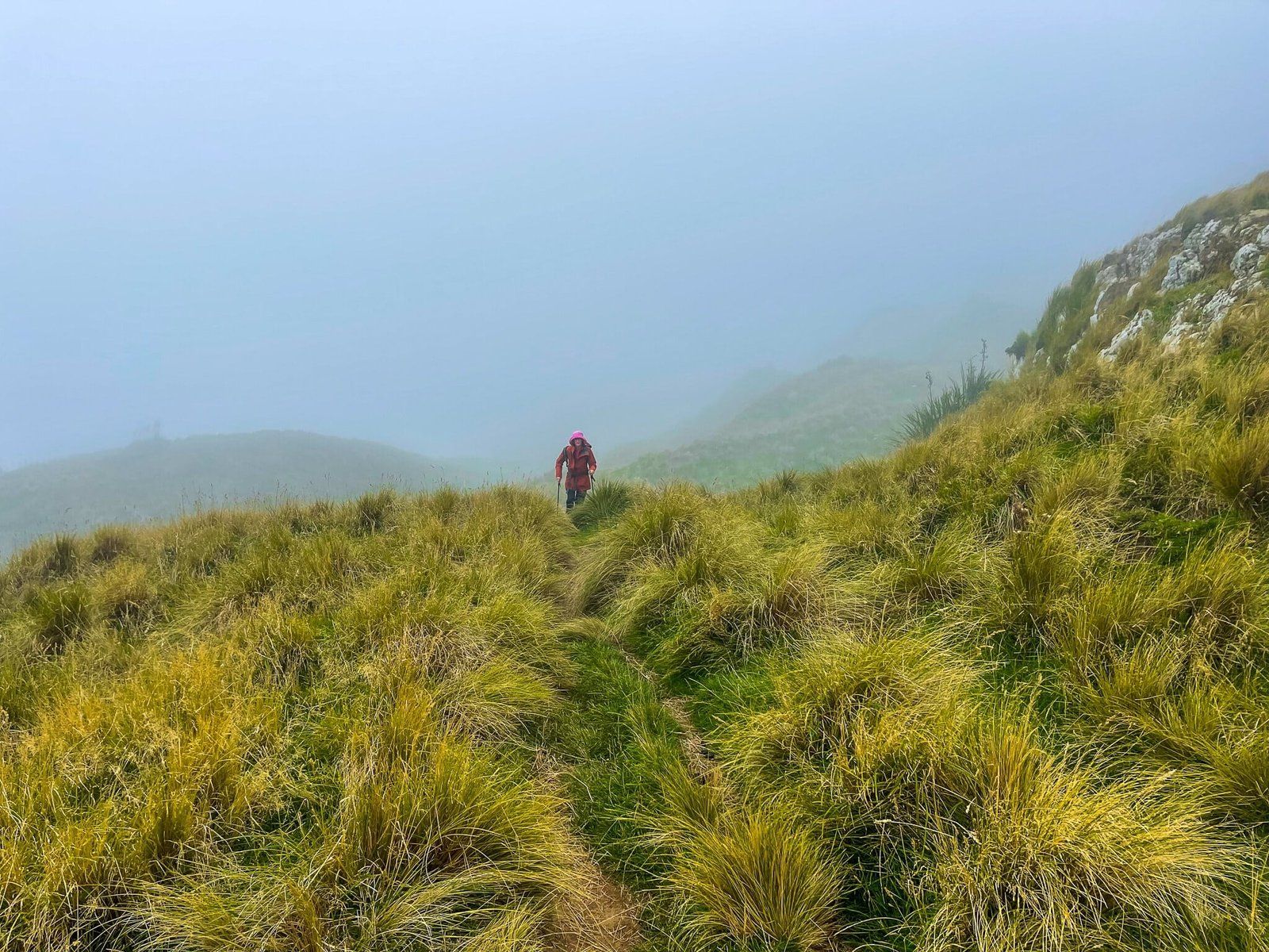
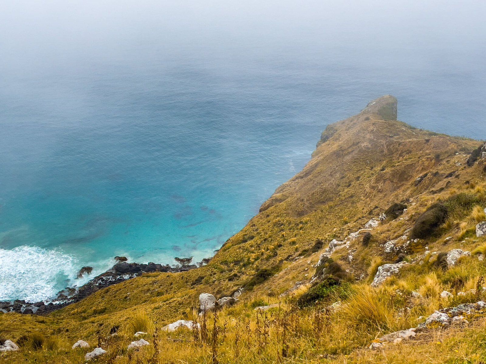
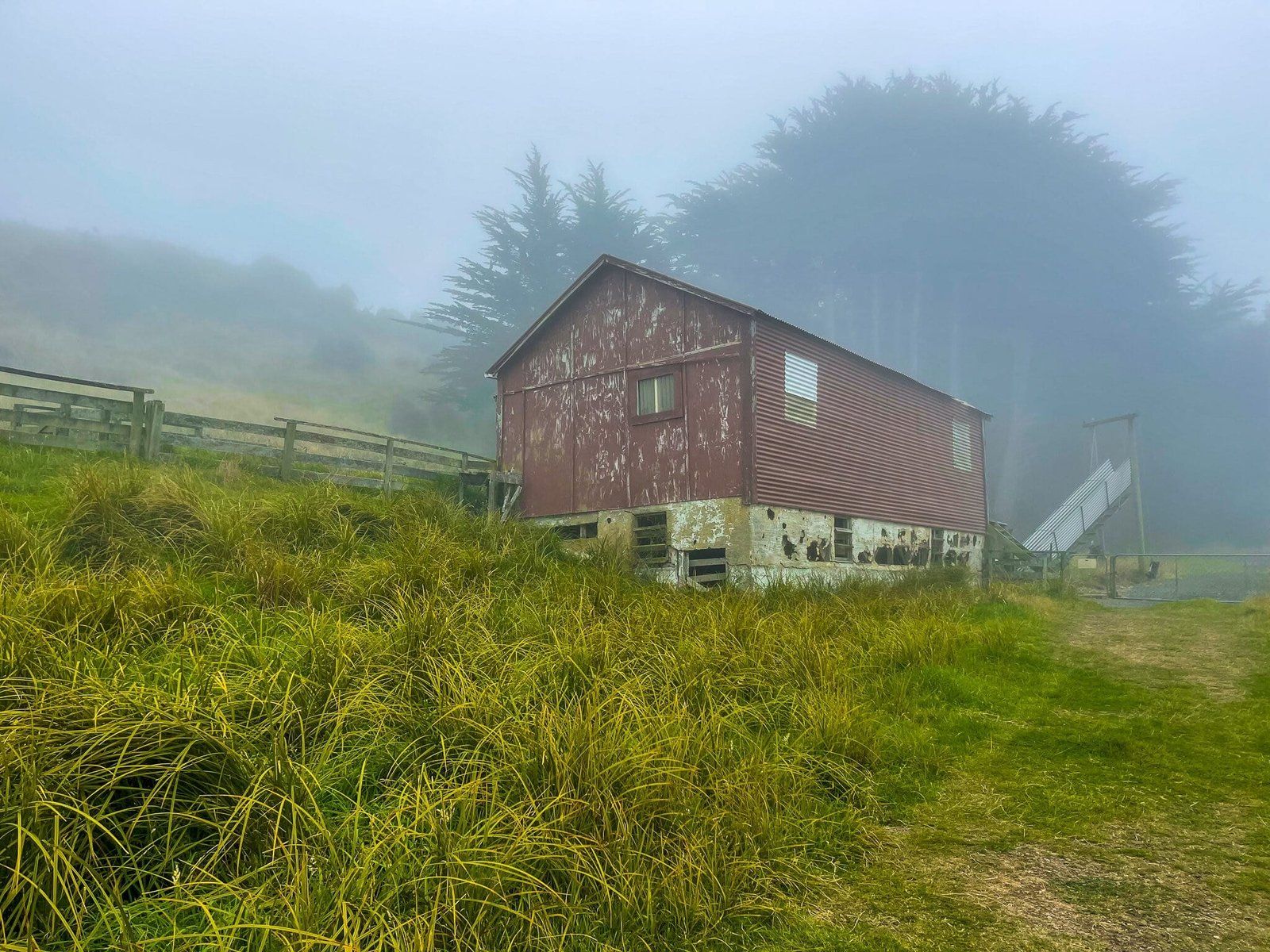
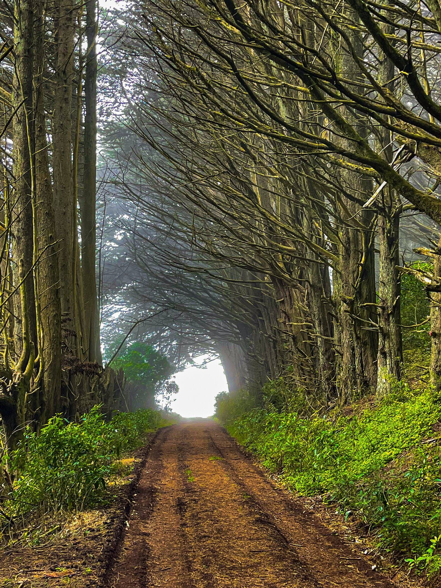
The quickest way to the viewpoint is to head clockwise for the car park on the Sandymount Loop Track. This section is an easy walk along a farm road, through a tunnel formed by rows of macrocarpa trees planted over a century ago. You then pass by an old farm building. Go through the gate and the end of the road to the walking track, which heads south across a paddock. After 400 meters, and before the track turns sharply west, you will see the track to the viewpoint. It’s only a 150-metre walk, and the views, 200 metres above the Pacific Ocean, are fabulous.
A little further on, you may be able to spot another short walk, less clearly marked, to the cliff edge above the Chasm. In foggy conditions, the path may not be immediately visible, and it would be dangerous to approach the cliff edge.
How to get there
From Dunedin, drive along Highcliff Road and turn onto Sandymount Road, which is a metal road leading directly to the reserve. The car park at the base of the hike is well signposted. The drive from Dunedin is about 20 minutes and 13 km. From Portobello, via Highcliff Road, the drive is 12 minutes and 6 km.
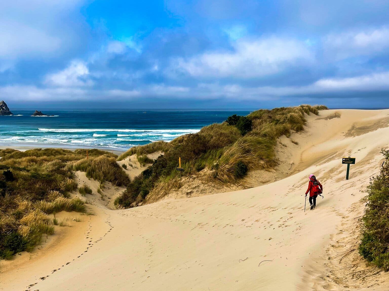
Nearby, you can also explore Larnach Castle, Sandfly Bay, Allans Beach, Okia Reserve and the Pyramids, and Victory Beach.