Exploring remote Cape Saunders Road
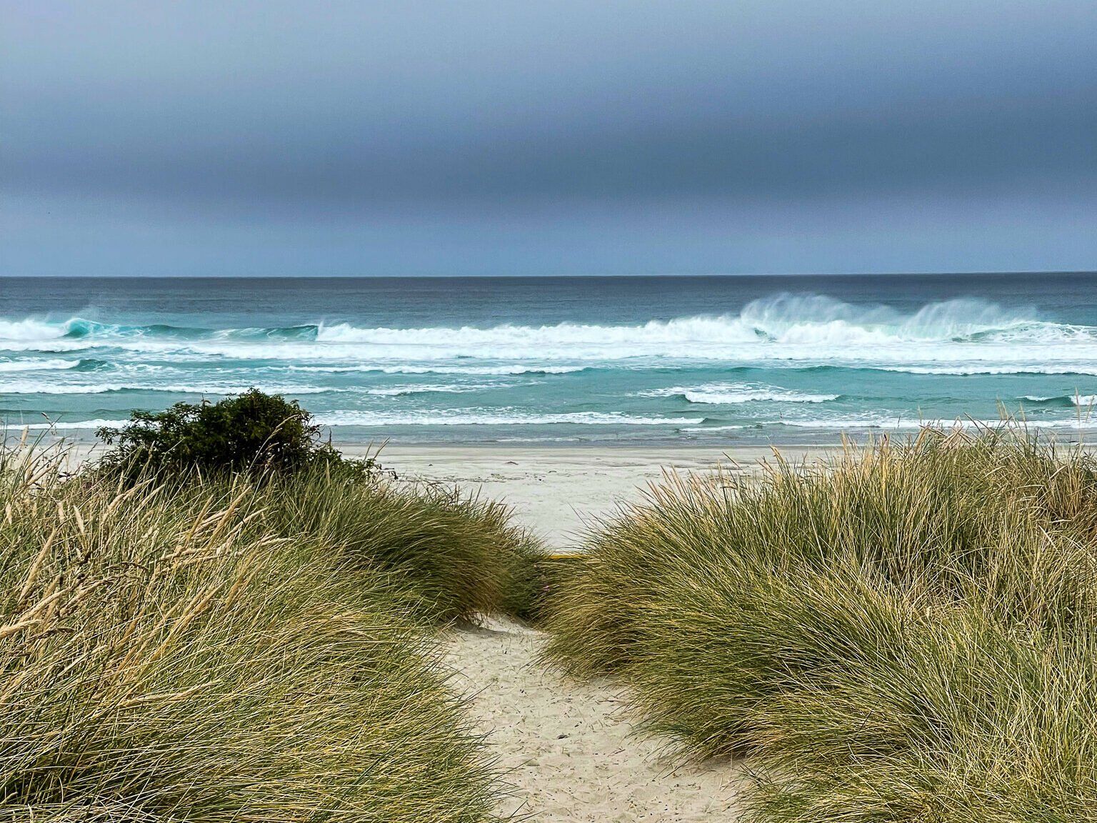
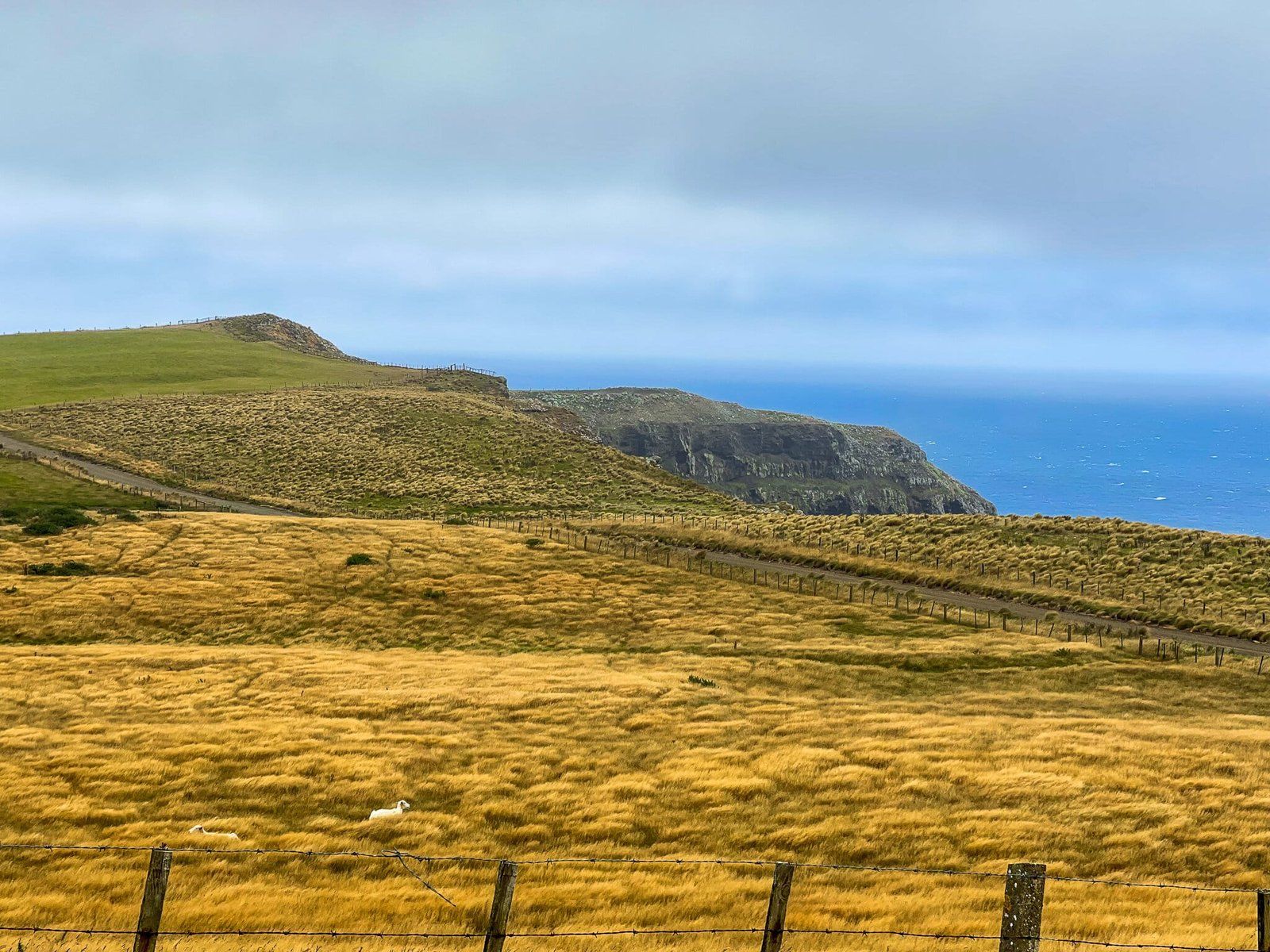
Cape Saunders Road is the most remote of the various roads on the Otago Peninsula, near Dunedin in the South Island. It is an interesting area to explore, bounded by Hoopers Inlet to the east and Papanui Inlet to the north and climbing to 200 metres above the coast, through a rural landscape of green and gold pasture. Along the way are stunning views of Papanui Inlet and Victory Beach.
Discovering the Landscape
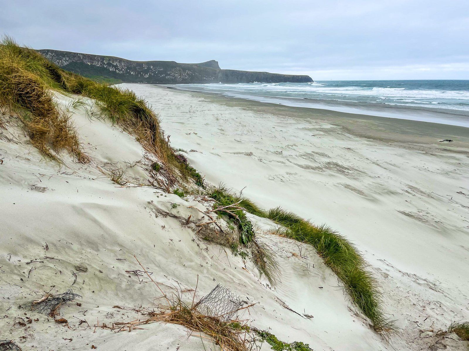
As you drive along Cape Saunders Road, which skirts the southern end of Papanui Inlet, you'll ascend to a wind-swept ridge nestled between Mt Charles Poatiri at 408 metres and Papanui Cone at 226 metres. Watch out for the sideways pine, one of the best examples of extreme wind-bent trees in the county! As the road heads south, it reaches cliffs above Matakitaki Point and the South Pacific Ocean, with more views. The road comes to an end shortly after that.
Though the area feels remote, it's just a 15-minute drive from Portobello on the peninsula's northwest side.
Getting There
To reach Cape Saunders Road, take the gravel Allans Beach Road from Portobello. This goes around Hooper Inlet and turns north onto Cape Saunders Road after 4.5 km. Follow the road to the end, which will take about 30 minutes there and back.
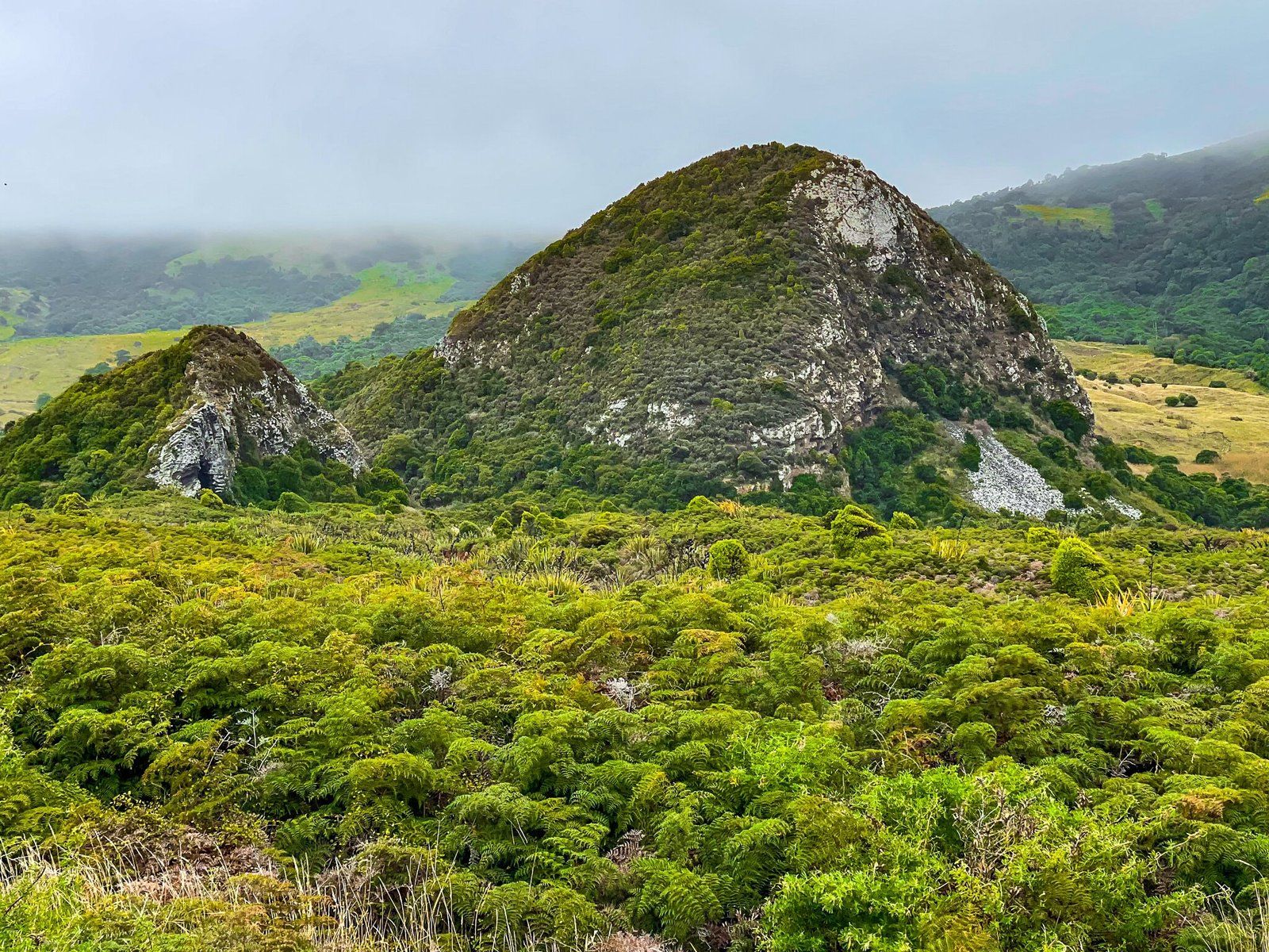
Nearby places to visit include Allans Beach, Okia Reserve and the Pyramids, Sandymount, Sandfly Bay and Larnach Castle.