Important Note: The track is closed after the first swing bridge while the second bridge is being rebuilt. It is expected to fully reopen in the Autumn this year.
Discover the Hooker Valley Track
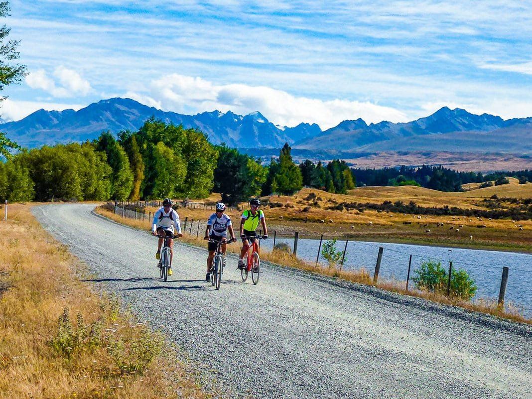
Located in the stunning Aoraki / Mount Cook National Park in the South Island, the Hooker Valley Track to the Hooker Lake at the end of the Hooker Glacier is a superb 3-hour return walk. This track provides an intimate experience with the dramatic landscapes of New Zealand's Southern Alps, featuring two high swingbridges over the Hooker River, a boardwalk through mountain tussocks, shrubs and wildflowers, and fabulous views of Aoraki / Mt Cook.
Scenic Highlights Along the Track
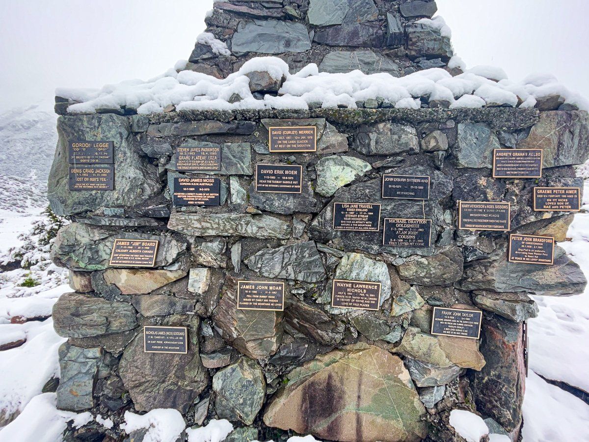
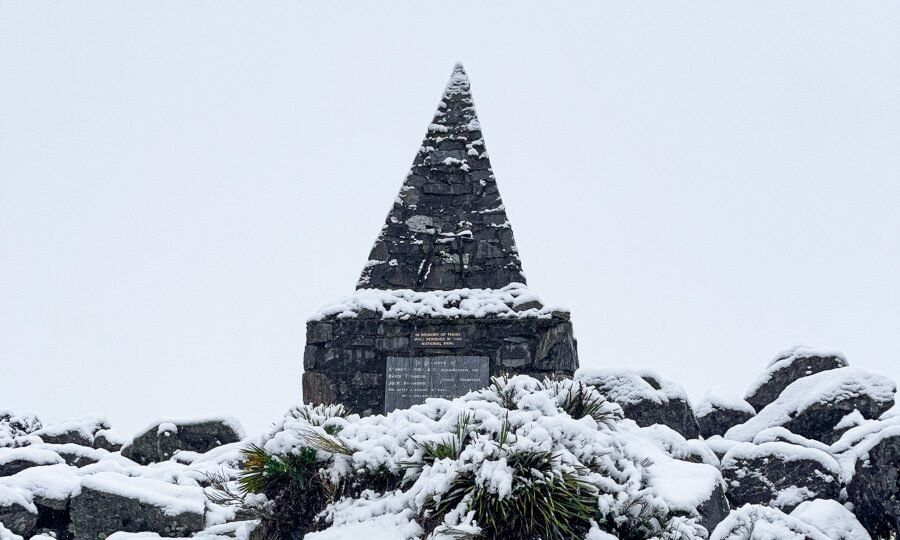
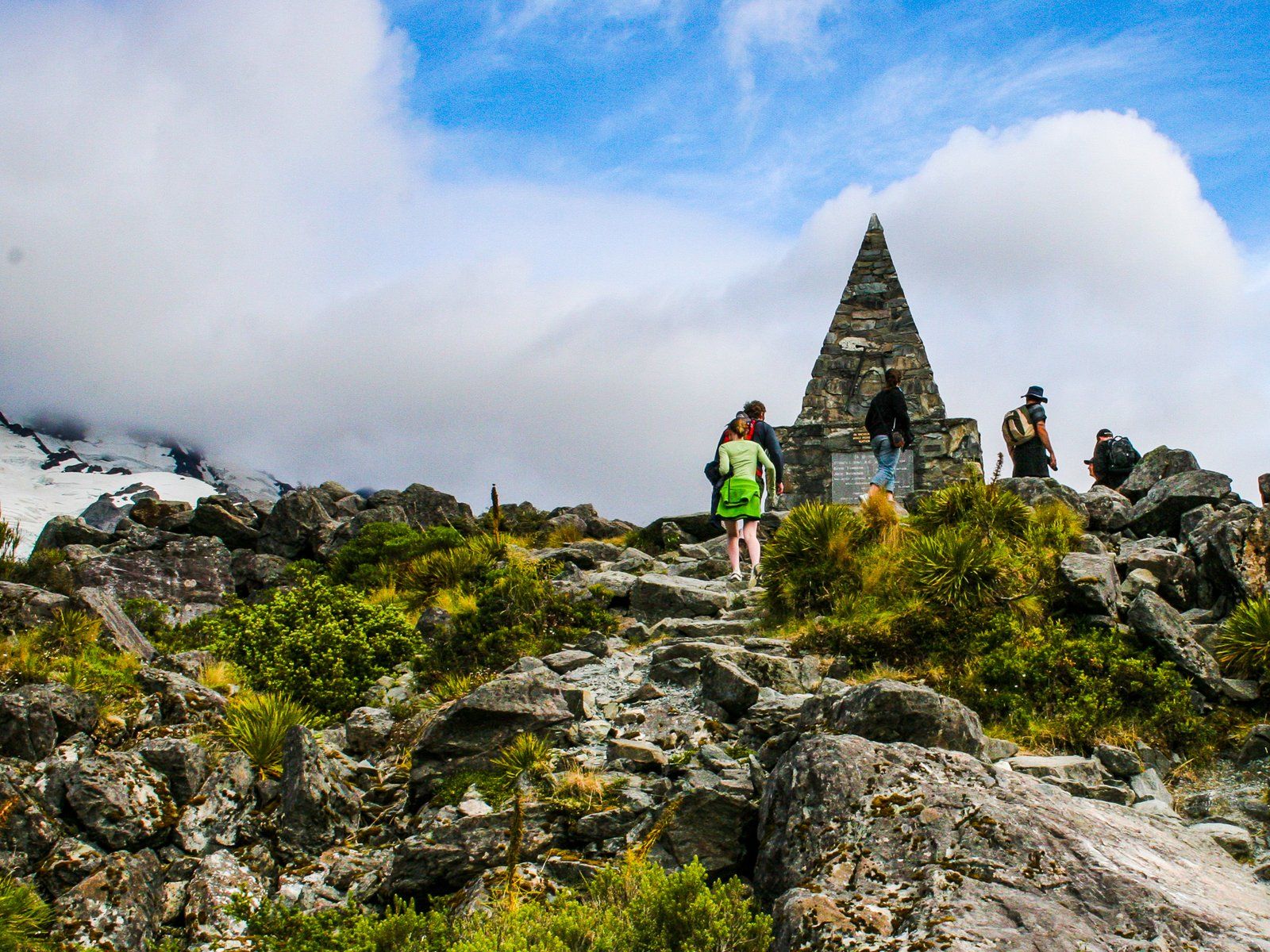
Near the White Horse car park, at the beginning of the track, is a pyramid-shaped tribute to the approximately 80 climbers who have lost their lives on the mountain. A little further along the track is Freda’s Rock, a monument dedicated to the first female climber of Aoraki / Mount Cook in 1910.
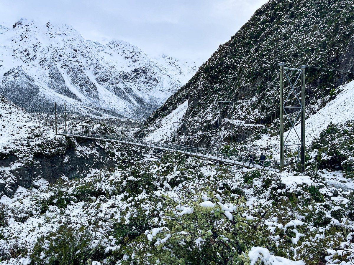
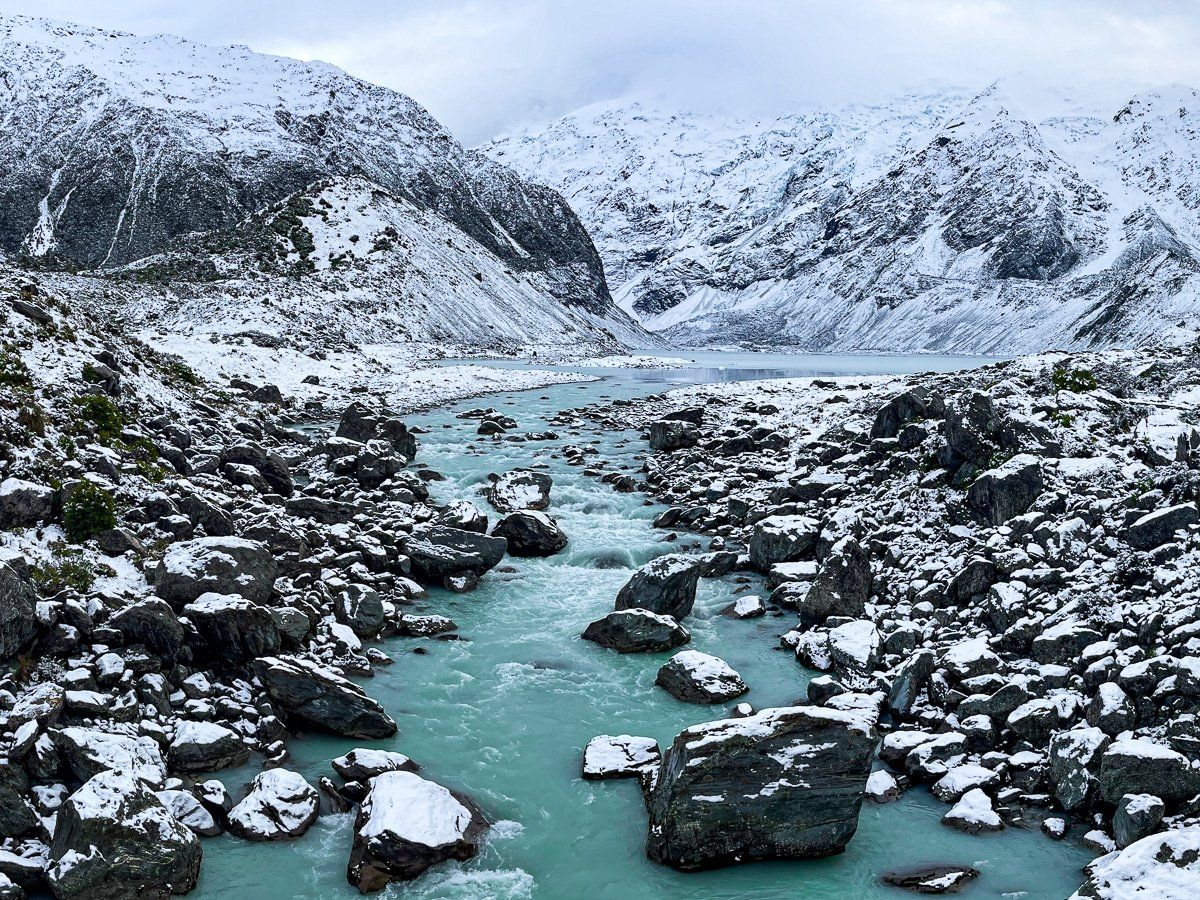
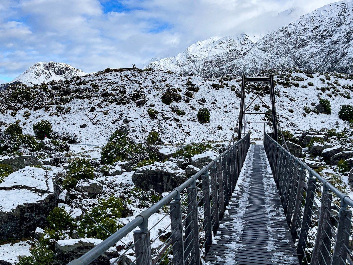
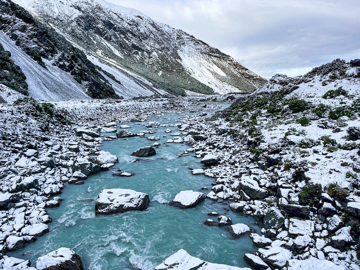
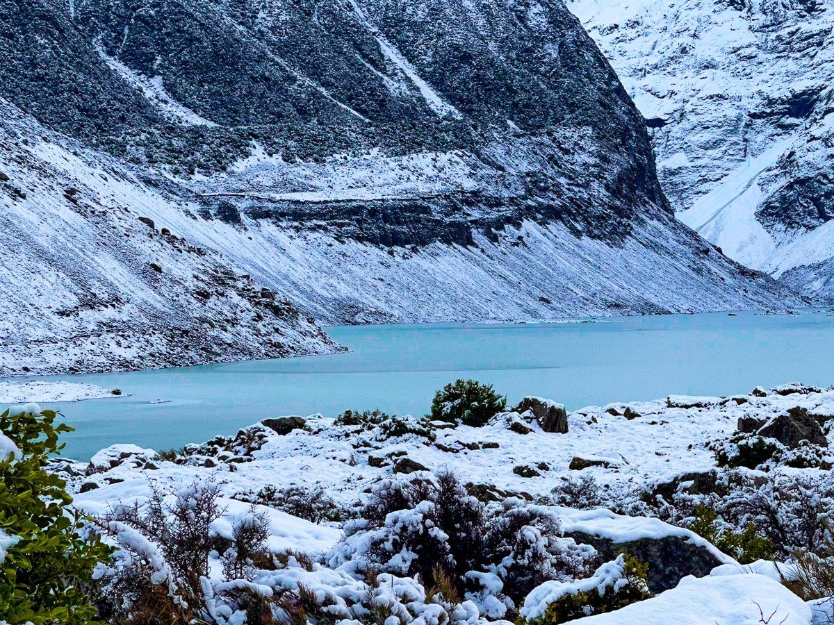
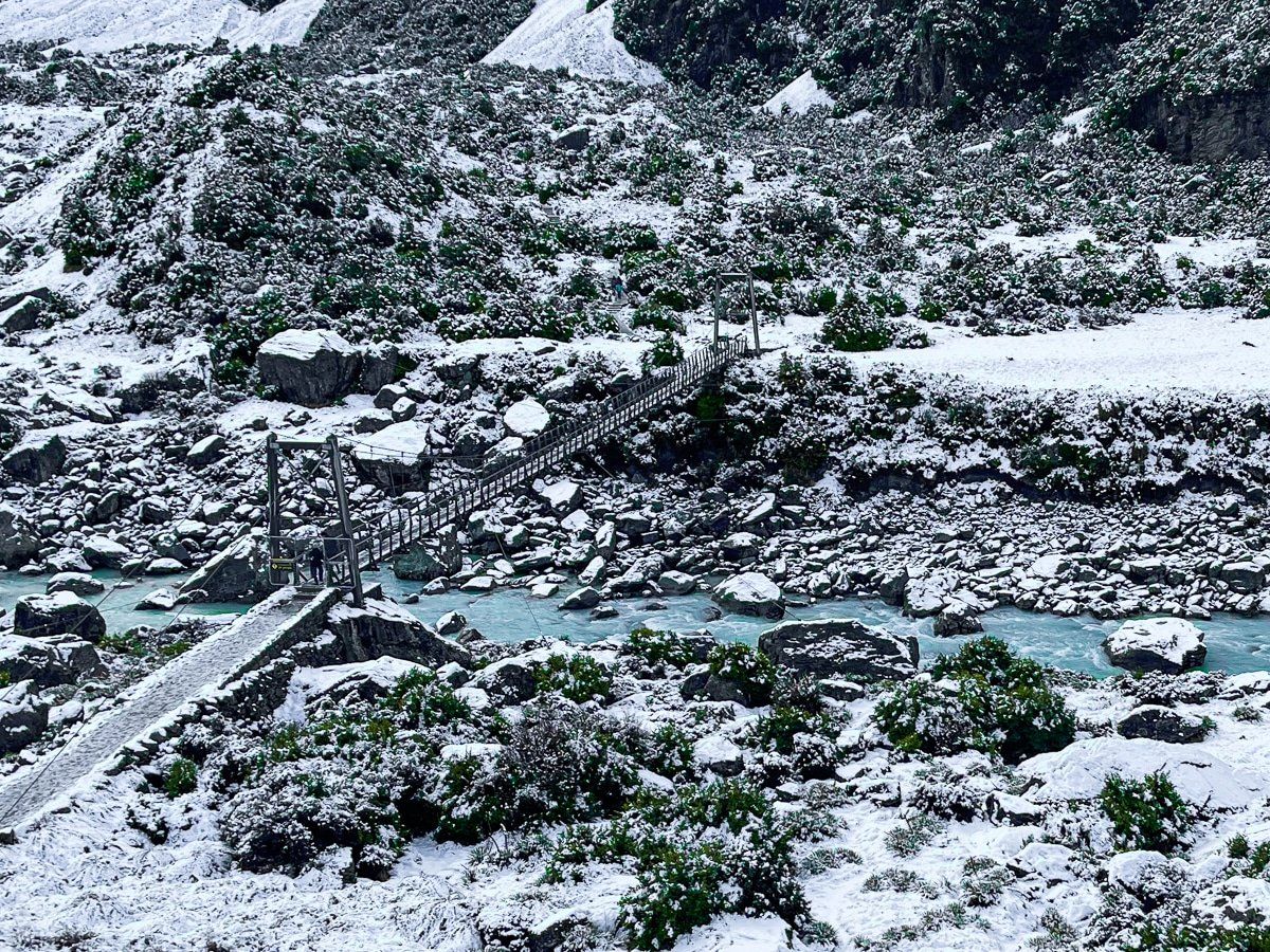
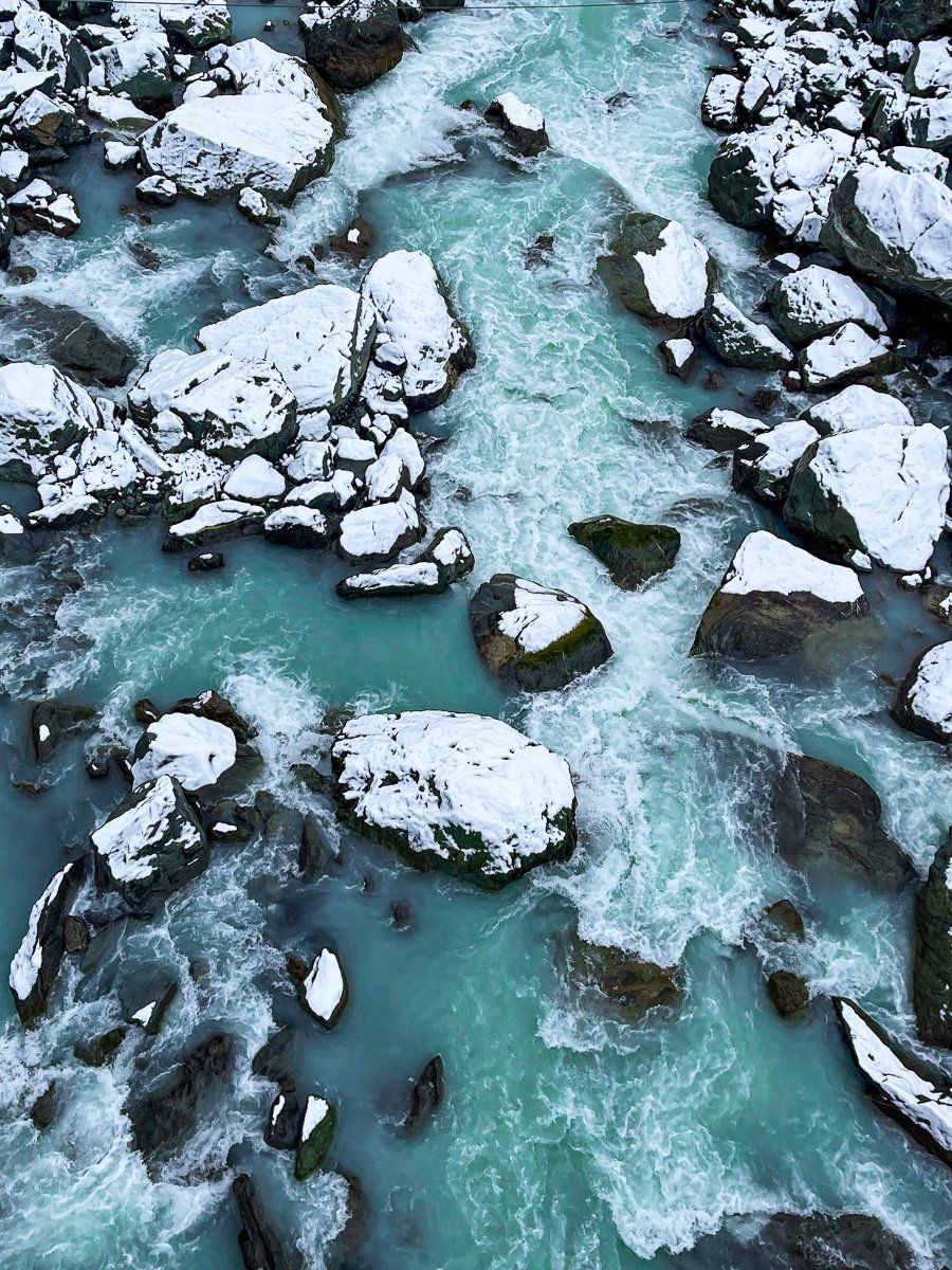
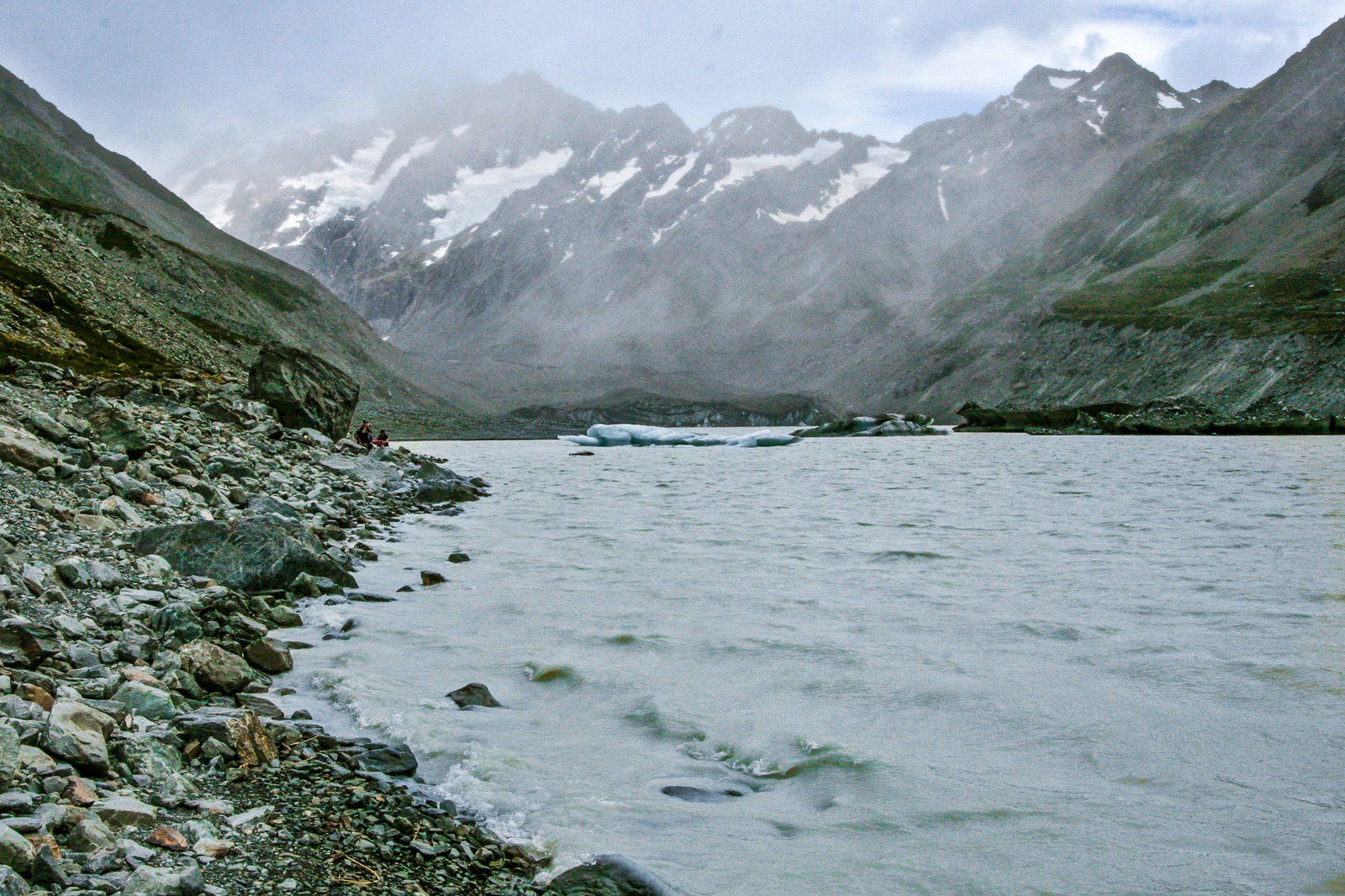
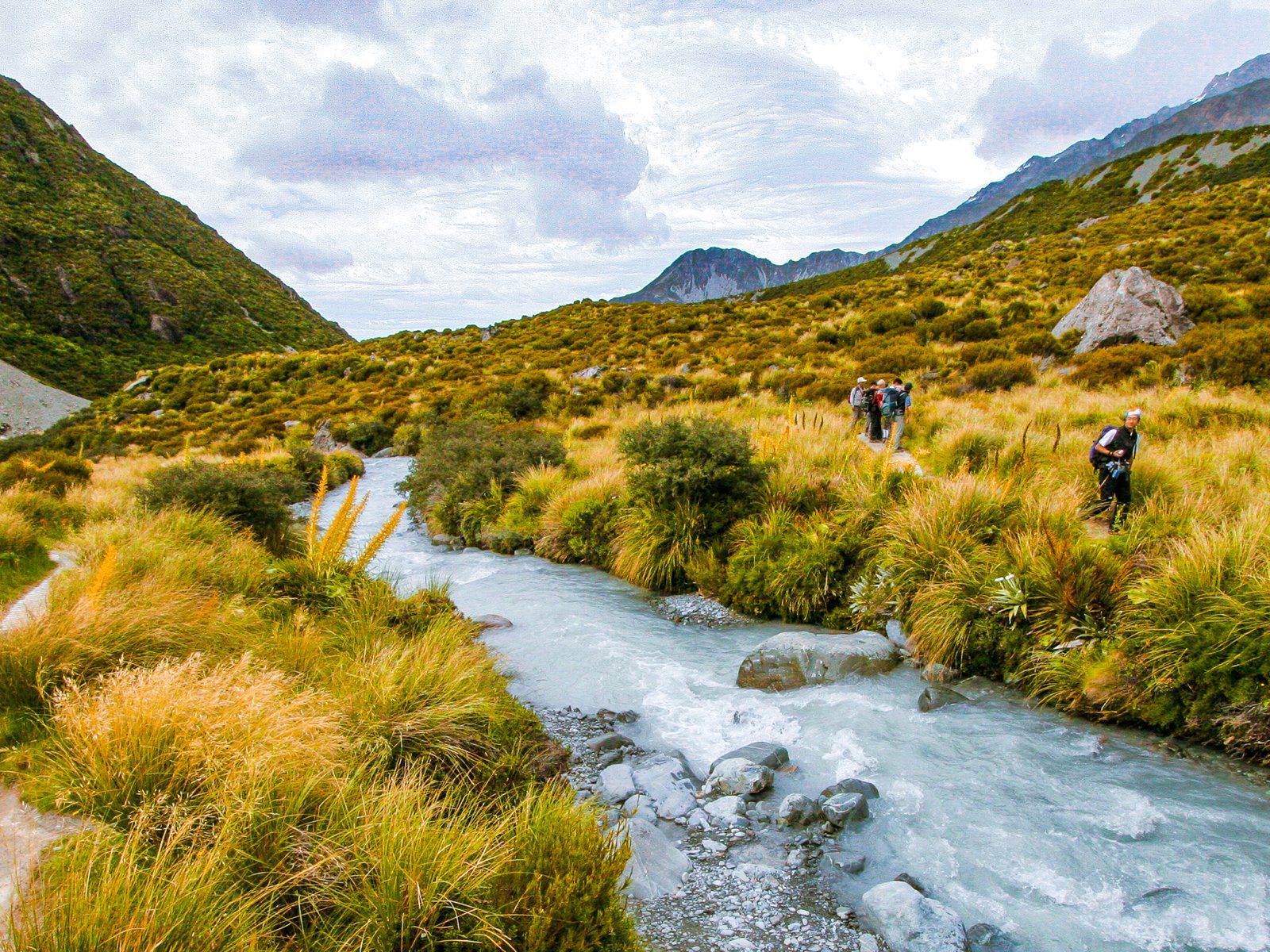
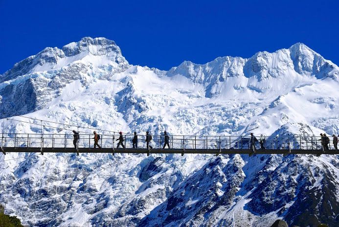
As you continue along the track, you'll encounter two impressive swing bridges spanning the Hooker River. These bridges provide breathtaking views of the surrounding landscape. Between the swingbridges, the track follows a shallow ridge above the Mueller Glacier lake, providing perfect spots for photos of this lake, the spectacular, steep Mueller Glacier and Kakīroa / Mount Sefton at 3.151 metres high, plus a string of peaks, mostly over 2,500 metres.
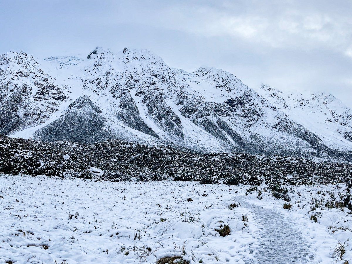
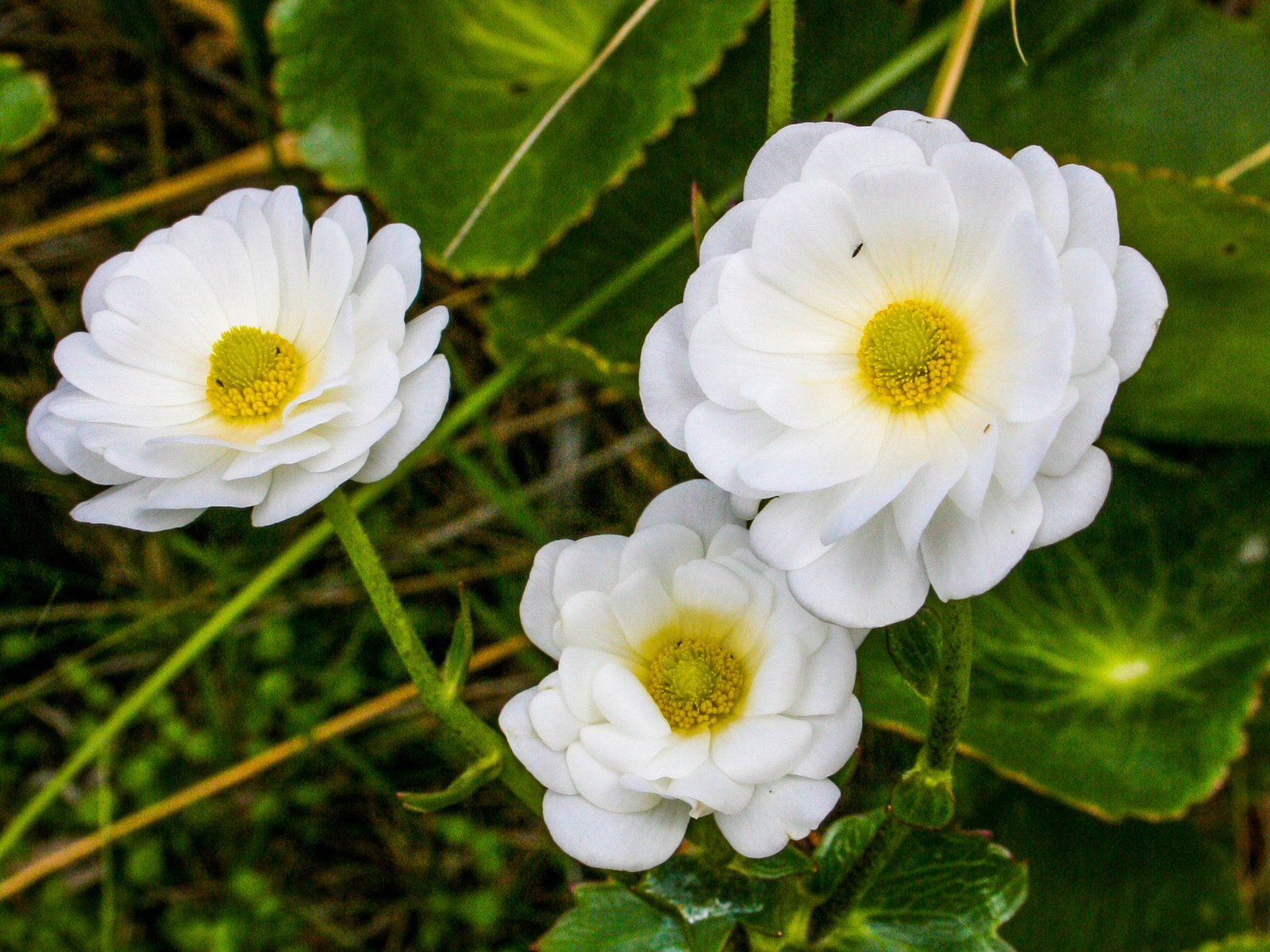
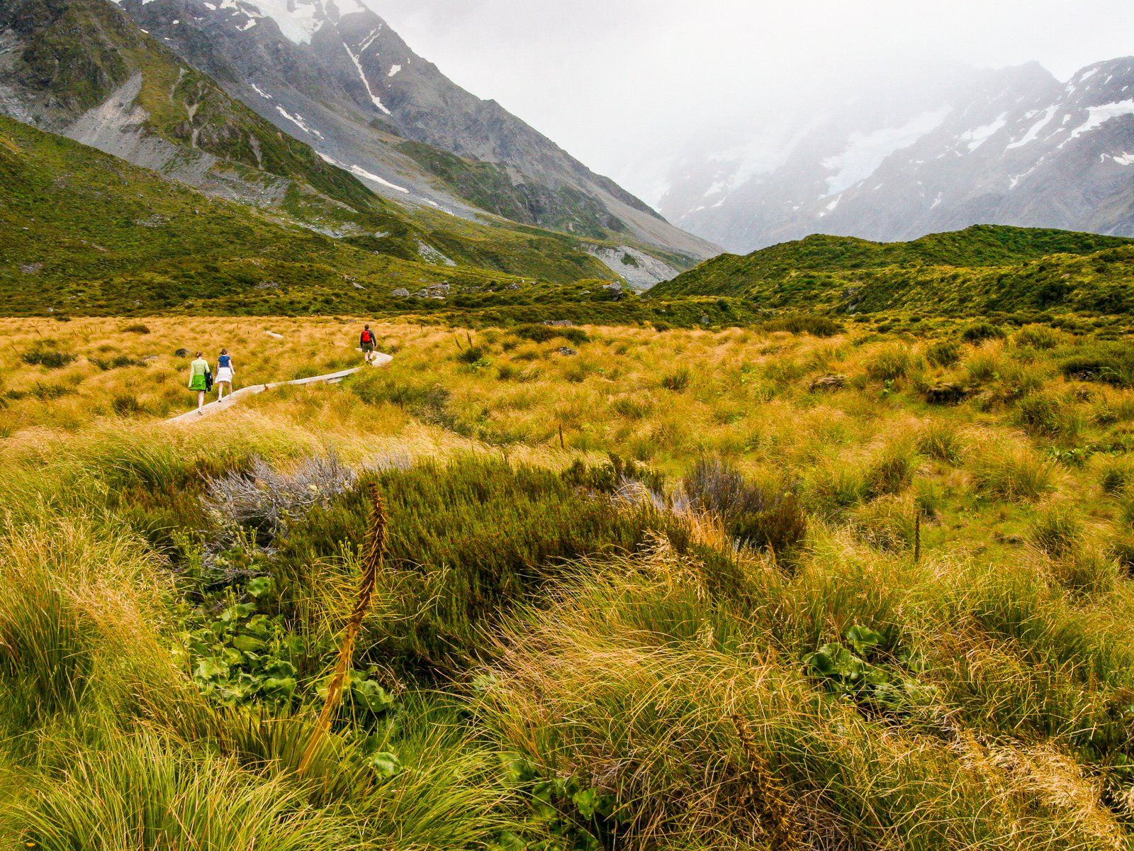
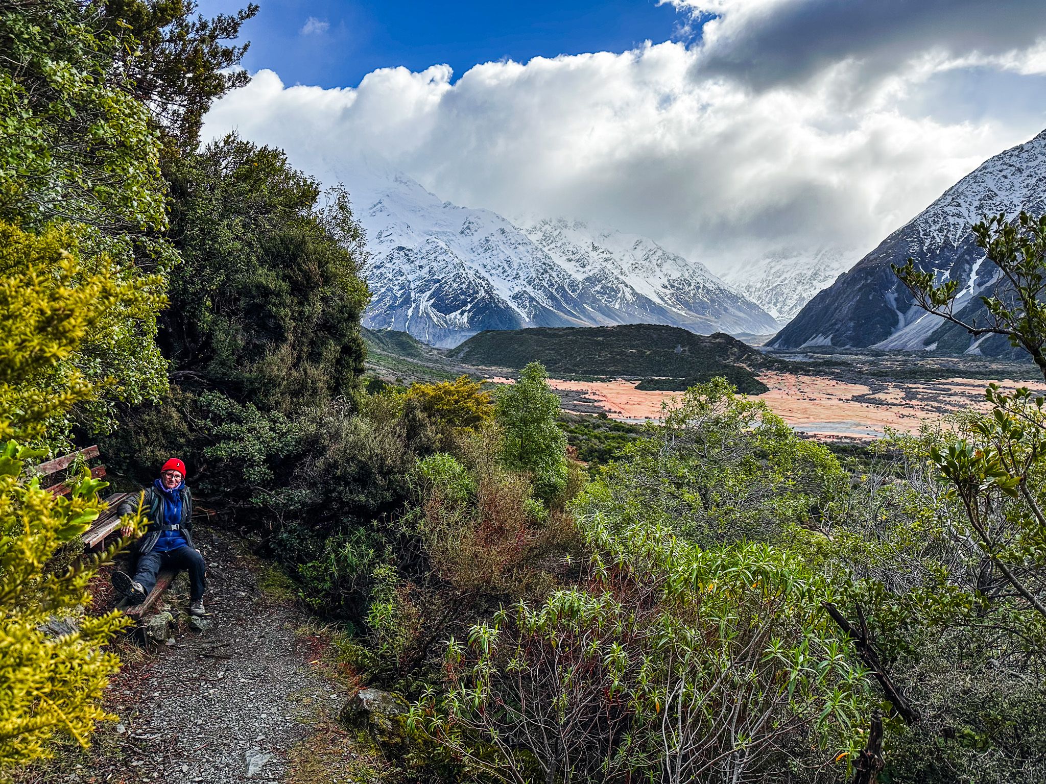
After this, the walk enters a wider valley, with a boardwalk across often boggy ground rich in tussocks and mountain shrubs. In Spring and Summer, wildflowers are a feature of the walk, with the giant Mt Cook buttercup a highlight around January. This is the largest buttercup in the world, growing up to 1 metre high, with glossy leaves bigger than your hand and a flower the size of your palm.
As you continue along the boardwalk, you start to get wide views of Aoraki before the walk culminates at the south end of Hooker Lake. From there, you can follow an unofficial, rough and stony path around the lake edge towards the glacier terminus.
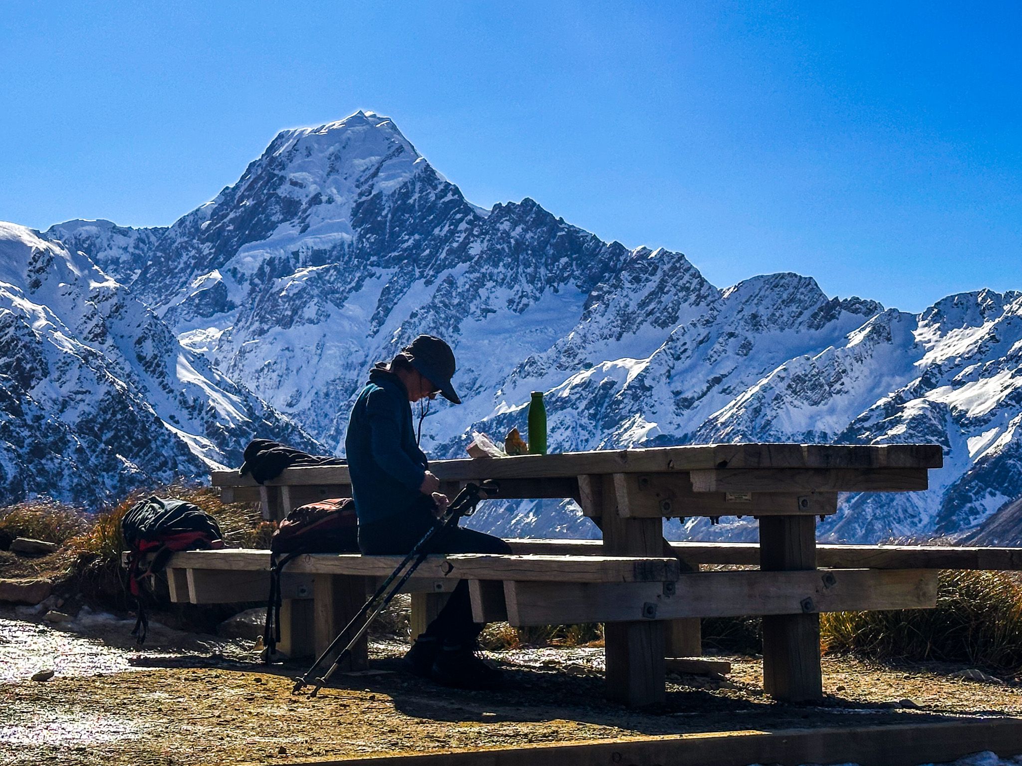
The walk is mostly between 800 metres and 900 metres, straightforward, with modest undulations. It is usually snow-free, with any valley snowfall melting quickly. Be careful of ice in Winter.
Seasonal Variations and Flora
The Hooker Valley Track is accessible year-round, though the experience can vary with the seasons. Despite the surrounding snow-capped peaks and glaciers, snow is not typically present in the valley itself. However, if you visit after a snowfall, the landscape transforms into a winter wonderland. In late spring and early summer, the valley bursts into colour with wildflowers. December and January are prime times to spot the Mt Cook buttercup, the largest buttercup in the world.
An Alternative: Tasman Lake Walk
For those seeking a shorter walk, the Tasman Lake Track is a great alternative. This easy walk takes about 15 minutes each way, with stunning views of Tasman Lake and the surrounding mountains.
How to Get There
The White Horse Hill Campground and car park is a few minutes’ drive from Aoraki / Mt Cook Village and State Highway 80 along Hooker Valley Road. The village itself is approximately a 4.5-hour drive (330 km) from Christchurch or a 3.5-hour drive (264 km) from Queenstown.
Other nearby walks and hikes include the Sealy Tarns Track, Kea Point Track, Red Tarns Track, and Governors Bush Track and the short Glencoe Stream Track.