Kāpiti Island: A Bird Sanctuary with Rich History
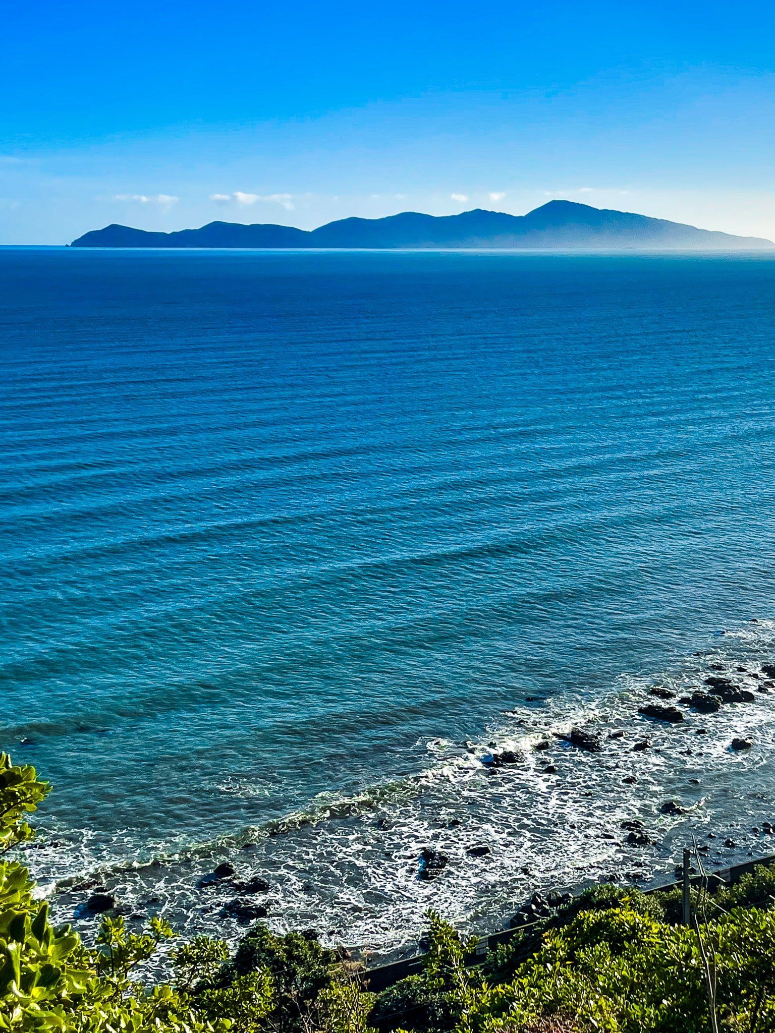
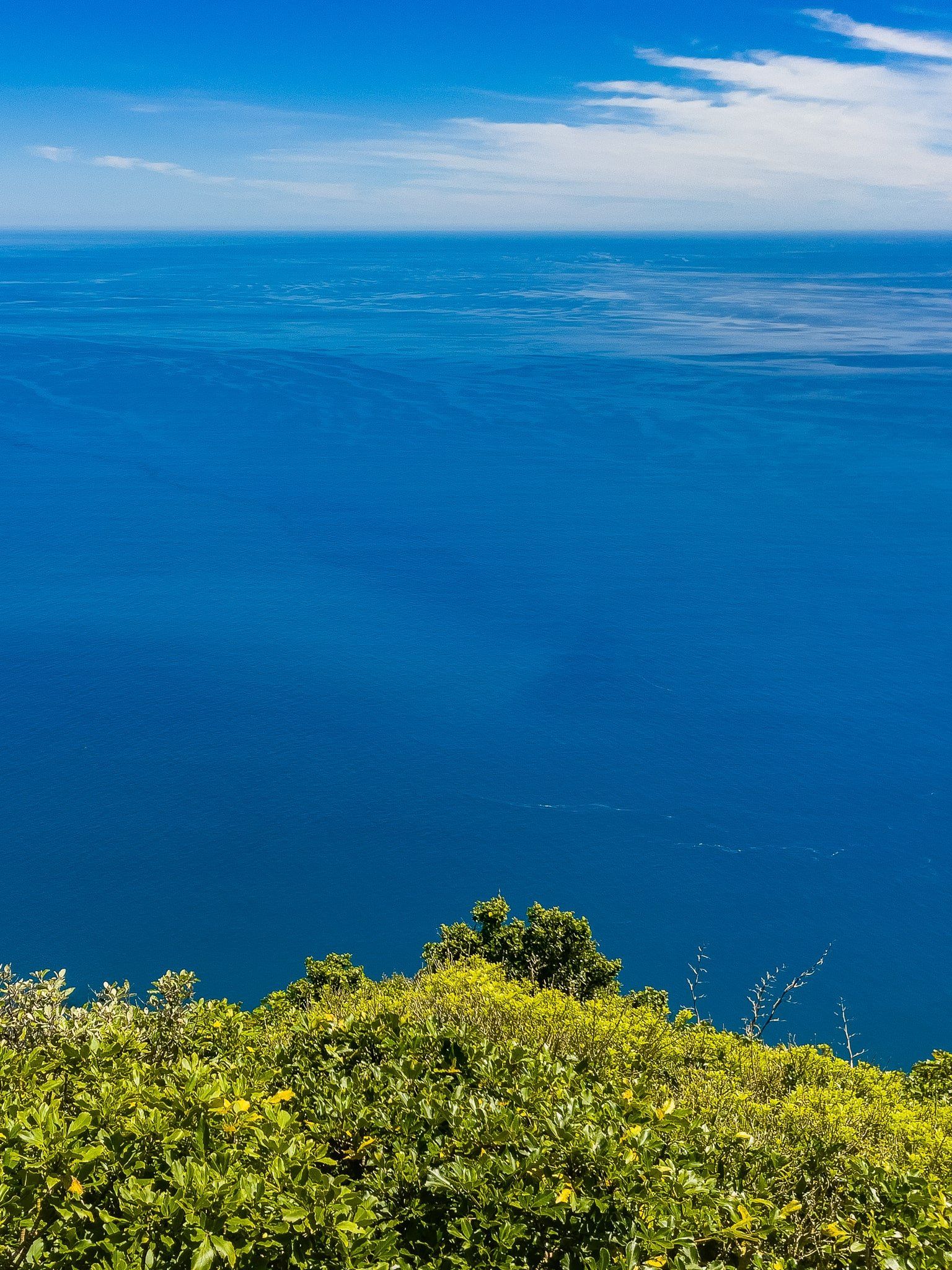
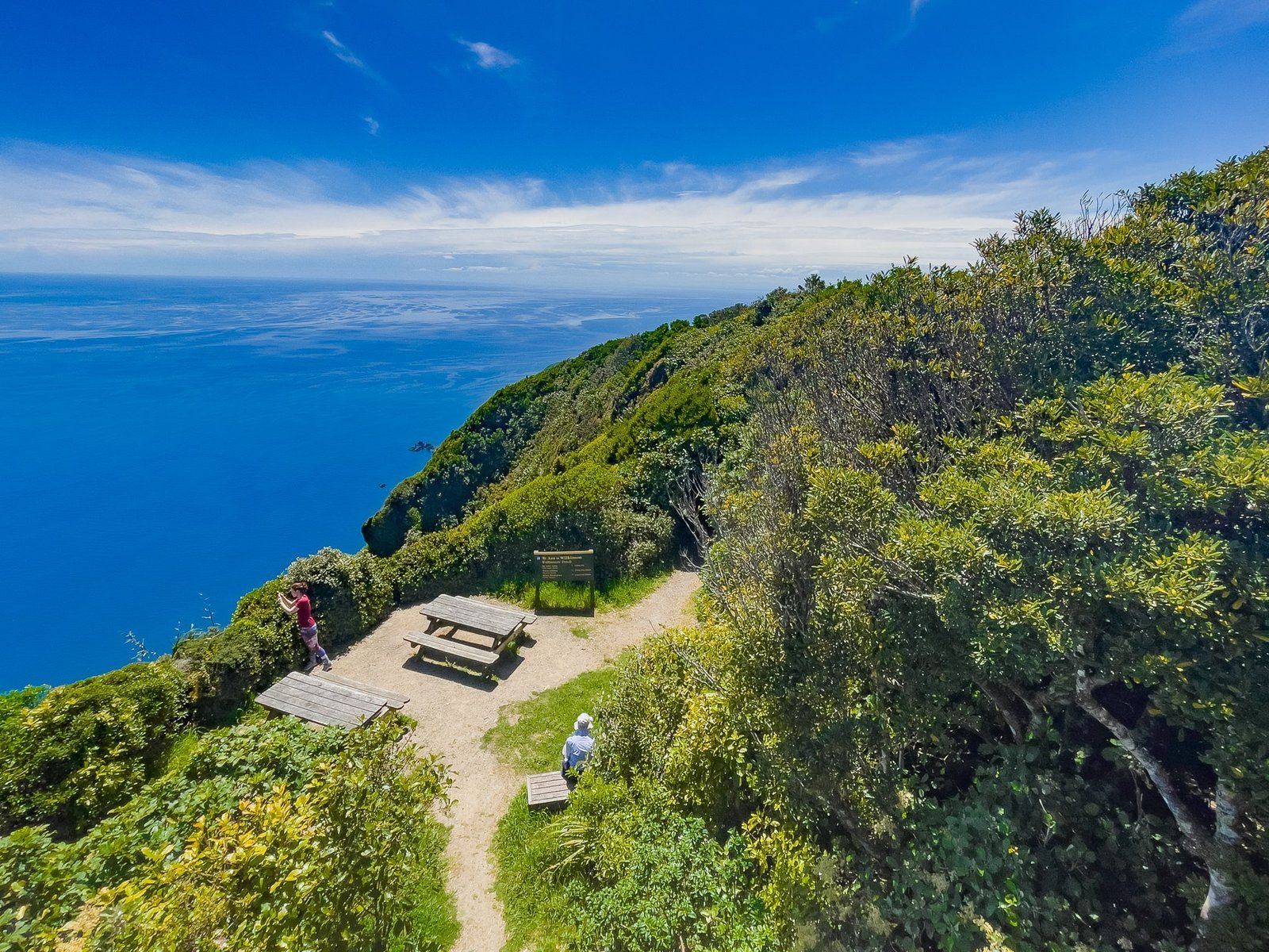
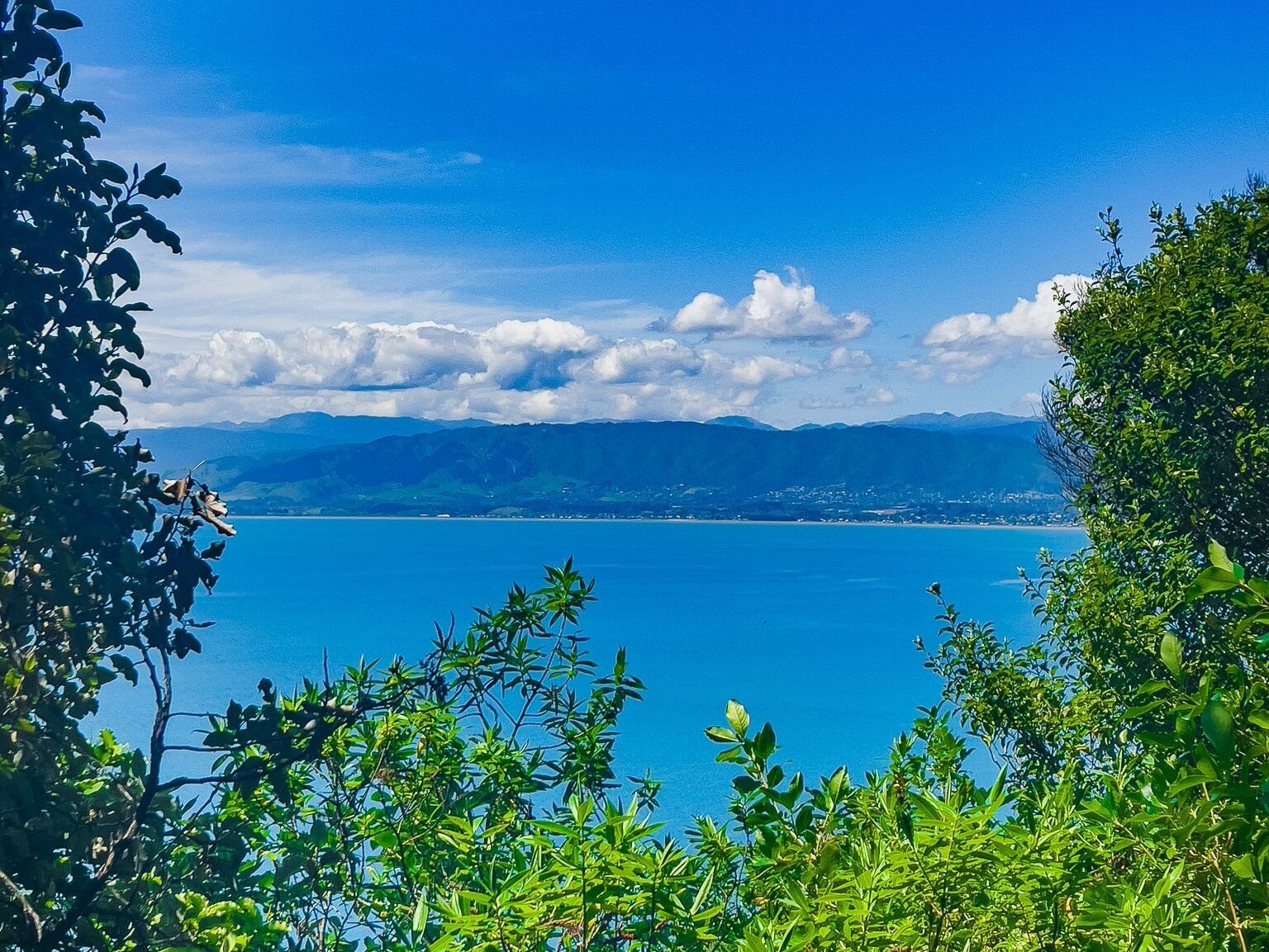
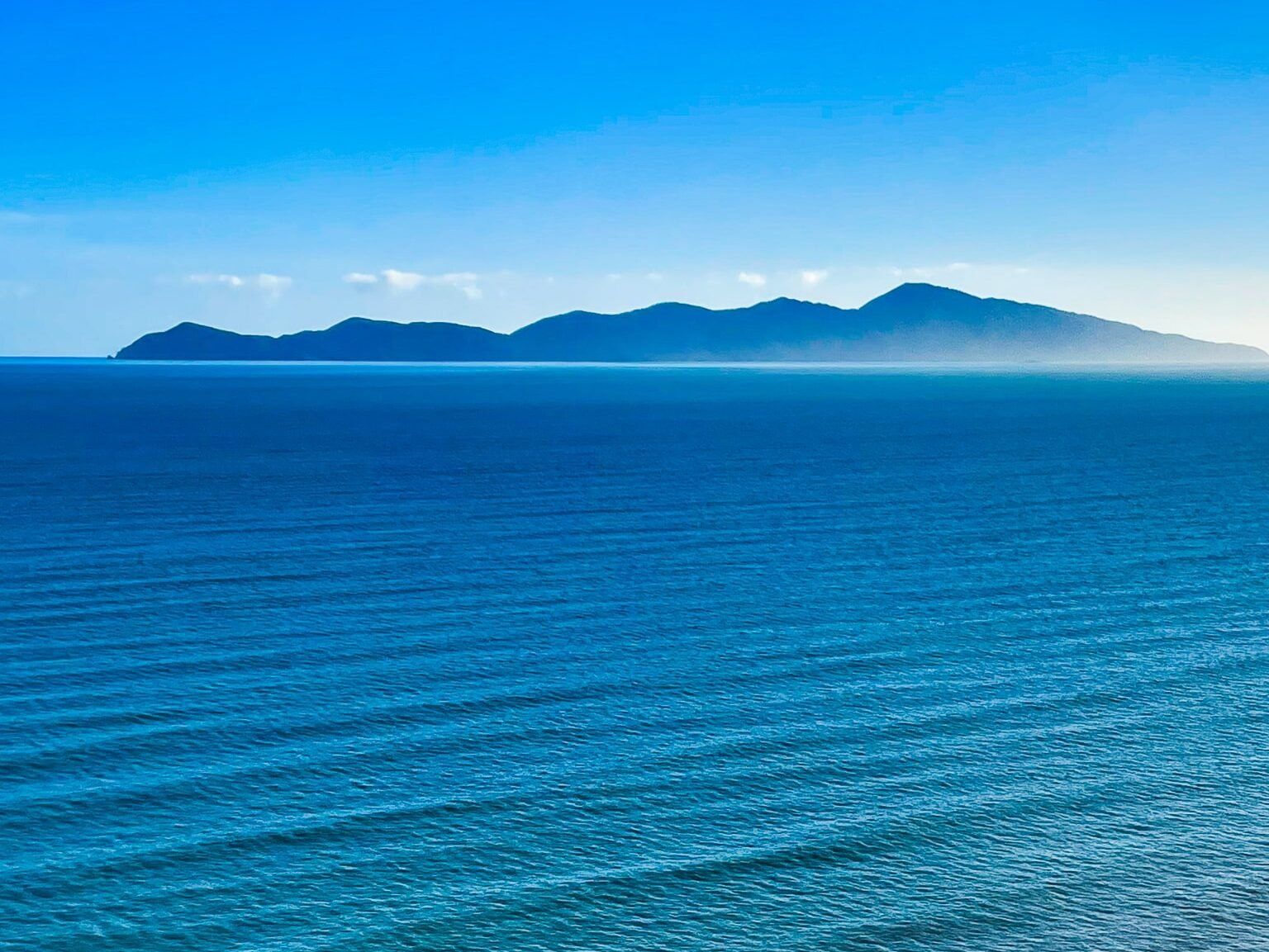
Kāpiti Island is located 5 km off the Kāpiti Coast, northwest of Wellington City. This island, once part of the Tararua Range, is now separated by the Rauoterangi Channel. It is renowned for its stunning bird sanctuary and the breathtaking views from its highest point, Tūteremoana, which stands at 521 metres.
The island is primarily managed by the Department of Conservation (DOC) as a conservation reserve, with its origins dating back to the late 1890s. The northern tip, however, is owned by descendants of Ngāti Toa iwi, who collaborate with DOC to provide boat access, tours, and overnight accommodation.
Activities and Wildlife on Kāpiti Island
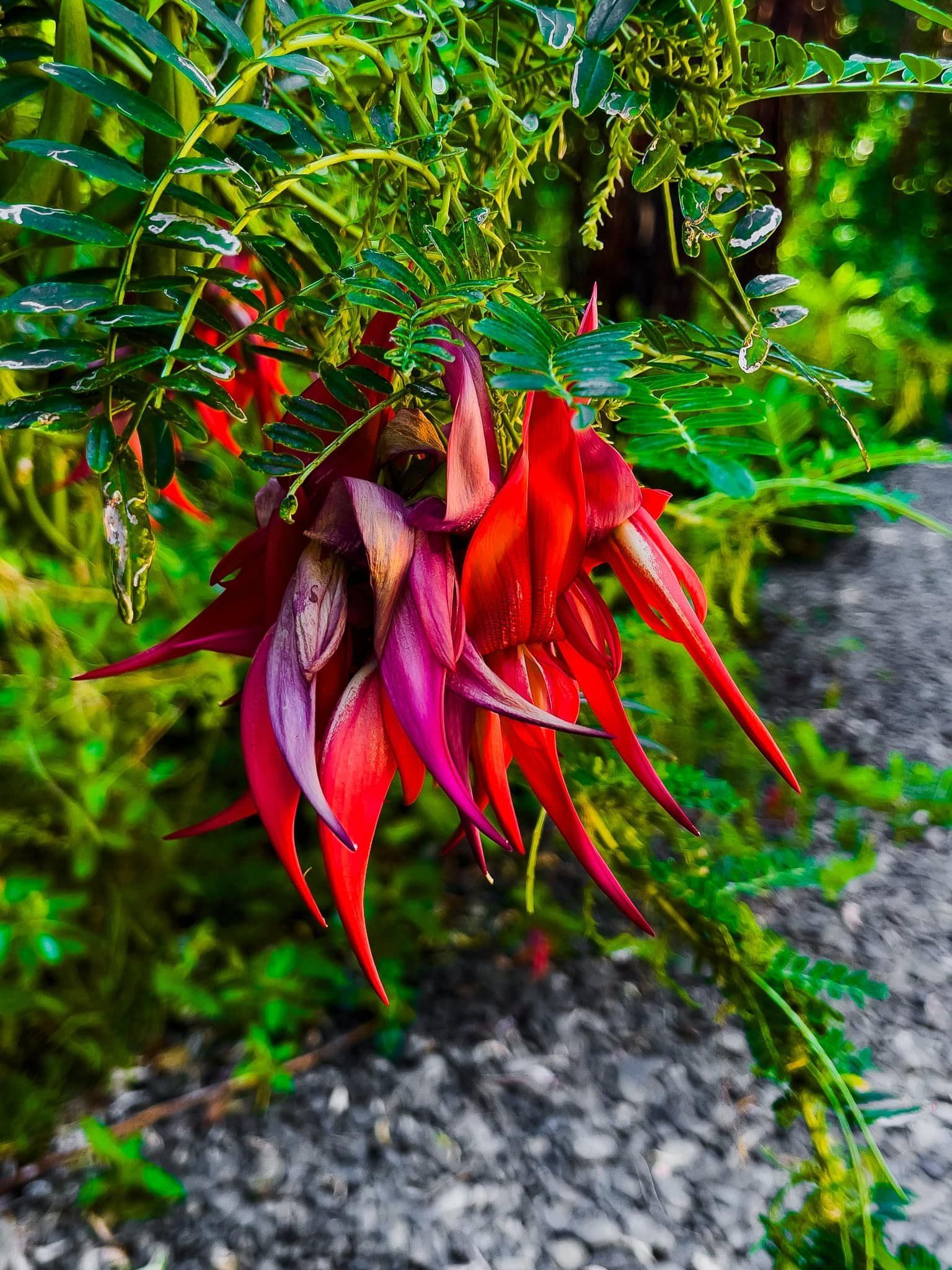
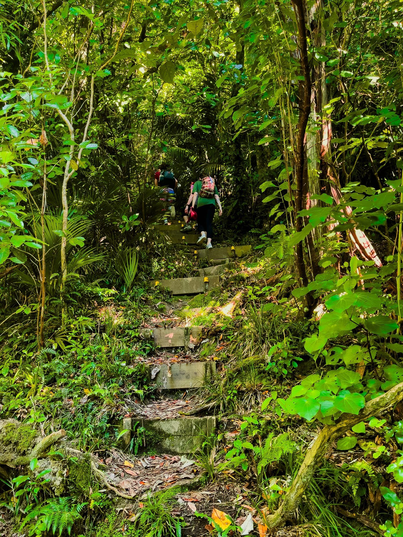
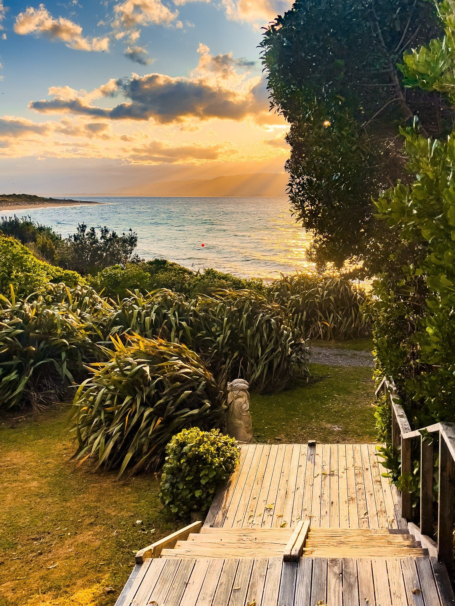
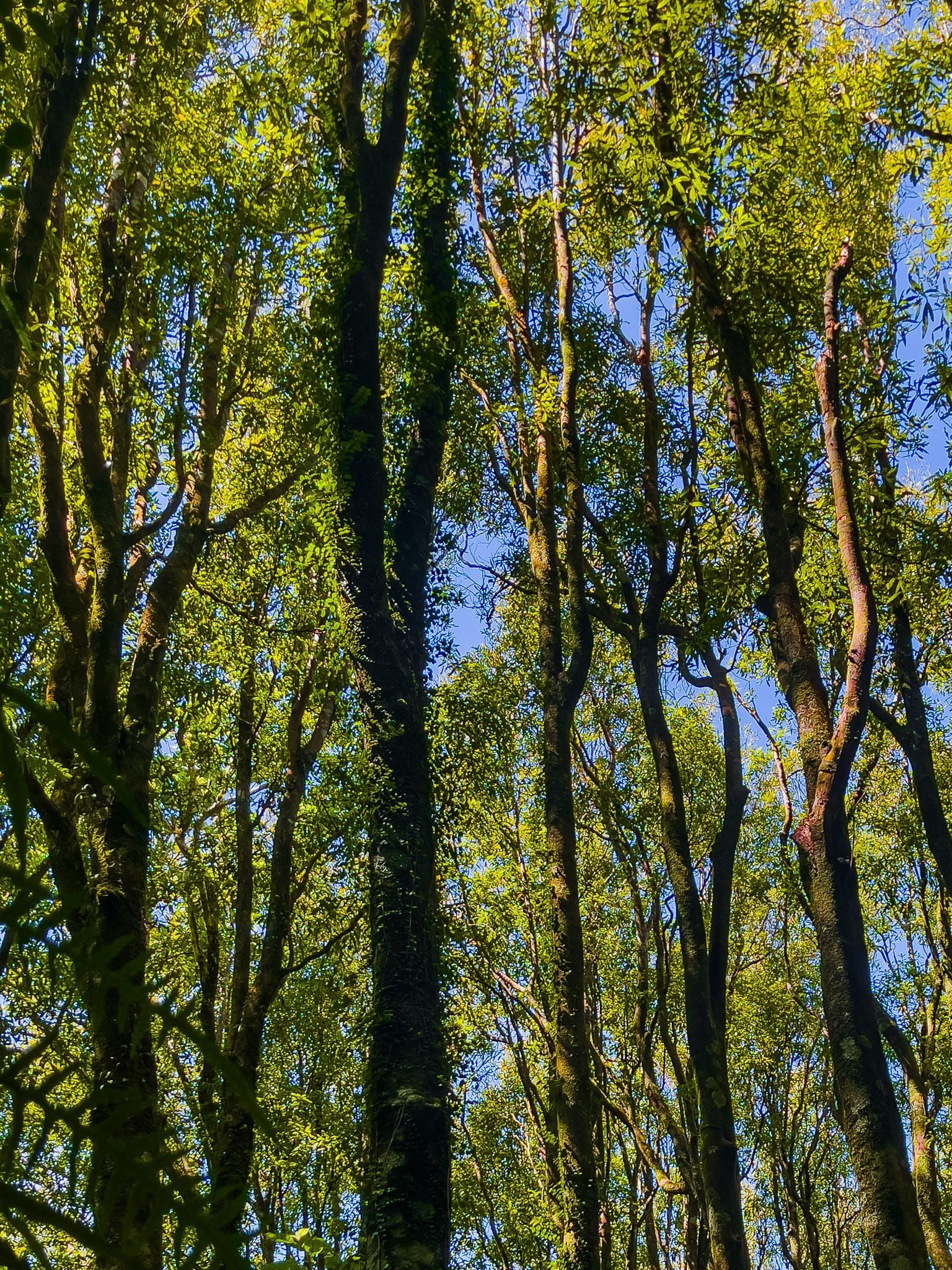
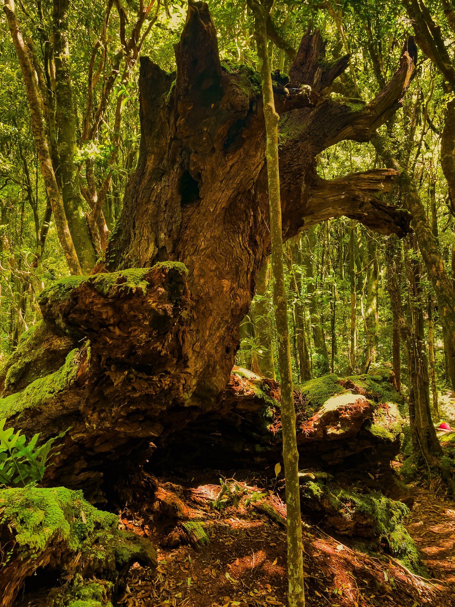
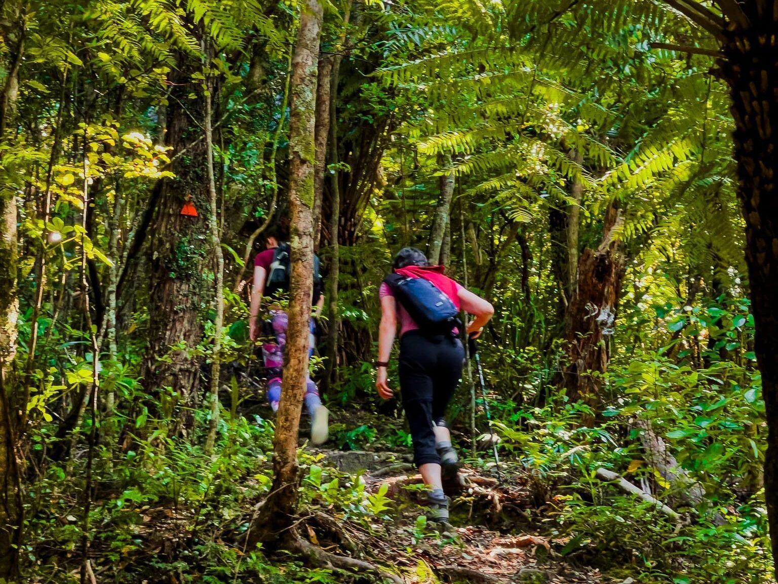
You can spend a day at Rangatira Bay or opt for an overnight stay at the lodge in Waiorua Bay. From Rangatira Bay, explore the regenerating forest via the Rangatira Loop, Trig Track, and Wilkinson Track leading to the peak of Tūteremoana.
The island is home to rare native birds, which have been successfully protected for decades. These birds are generally easy to spot, especially around the lodge, and include Kākā, Tūī, Kererū, Toutouwai, Tīeke, and Hihi. For overnight stays, you are likely to hear kiwi and may be lucky to spot one on an organised walk.
These species thrive on Kāpiti due to the island's pest-free environment and long-standing conservation efforts. Some of these birds, like the hihi and tīeke, are more likely to be seen here than elsewhere in Aotearoa.
Historical Significance of Kāpiti Island
Despite its small size, Kāpiti Island has an astonishing history. Around 1150, the early Polynesian explorer Whātonga of waka Kurahaupō divided Aotearoa into two regions. The area south of Kāpiti was given to his son Tara (Muaūpoko iwi), and the north to his son Tautoki (Rangitāne iwi). This division is reflected in the full Māori name, Te Waewae-Kāpiti-o-Tara-rāua-ko-Rangitāne.
In the early 1800s, the island was under the control of Muaūpoko. However, in 1822, during the Musket Wars, Te Rauparaha of Ngāti Toa led his people south from the Kawhia region and captured the island. This strategic move protected Ngāti Toa from ongoing conflicts with Waikato iwi and facilitated dealings with European whalers and traders.
The island was ideal for trading guns for flax and for whale stations. In 1824, a coalition of iwi attempted to reclaim the island but was defeated at the Battle of Waiorua, thereby solidifying Te Rauparaha's dominance in the region. By 1827, Te Rauparaha and his allies had extended their influence to the South Island, seeking control of the pounamu (greenstone) trade. By the 1830s, Kāpiti Island hosted five whaling stations, employing around 2,000 people.
However, the landscape changed with the decline of gun dominance, the rise of Christianity, the Treaty of Waitangi, and the collapse of whaling in the 1840s. By 1850, the land had been leased to European farmers, and much of the ancient forest had been logged. In the late 1890s, a wildlife reserve was established, and the government became the island’s sole legal purchaser of land, gradually adding land to the reserve as it was sold.
Today, the Kāpiti Island Nature Reserve encompasses much of the island and adjoins the Kāpiti Marine Reserve.
Getting to Kāpiti Island
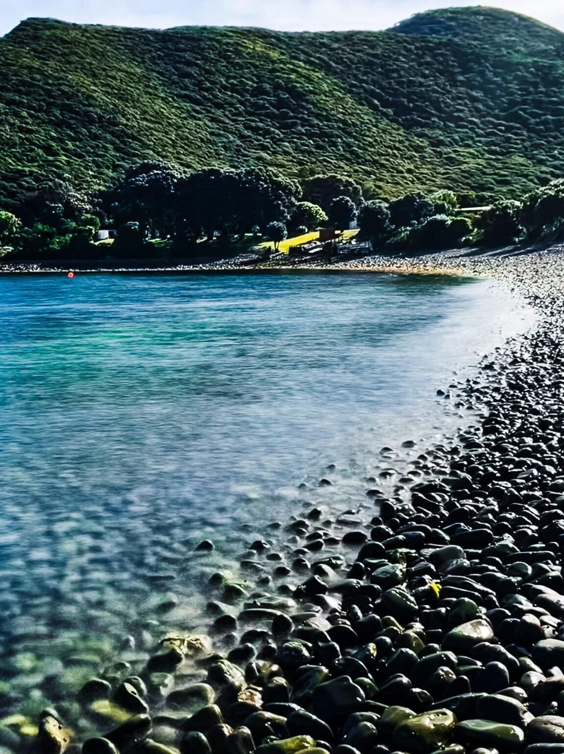
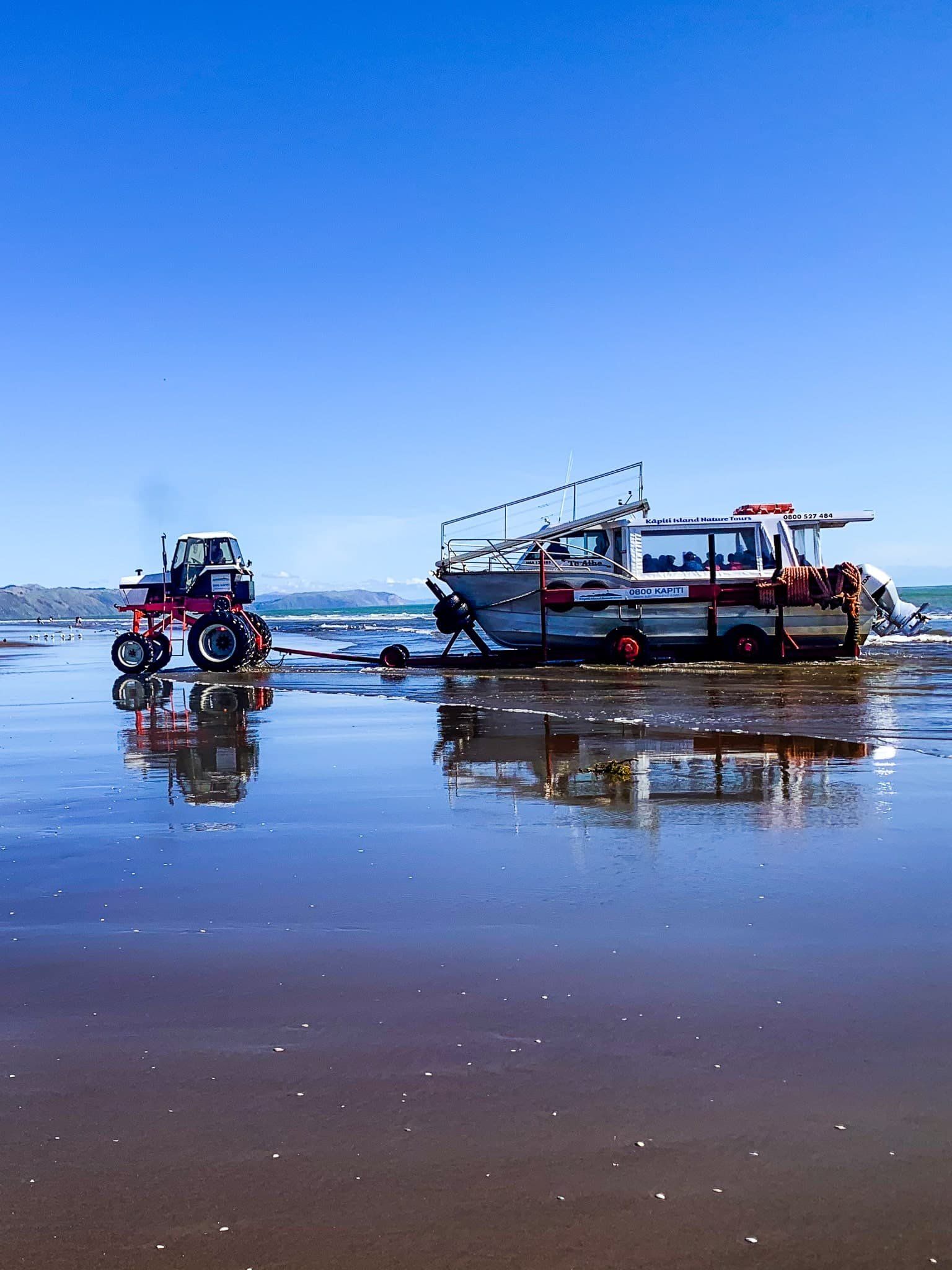
The boat to Kāpiti Island departs from Paraparaumu Beach, near the corner of Kāpiti Road and Marine Parade. The journey takes just 20 minutes, but be prepared for a biosecurity bag check before departure. Due to limited daily visitor numbers, it is advisable to book in advance. There is no wharf at either end; instead, a tractor-trailer at Paraparaumu launches the boat into the water.
The boat lands at Rangatira Bay for the main walks and at Waiorua Bay Lodge for overnight stays. Be aware that windy weather can impact the safe beaching of the boat.