Exploring the Trig Track on Kāpiti Island
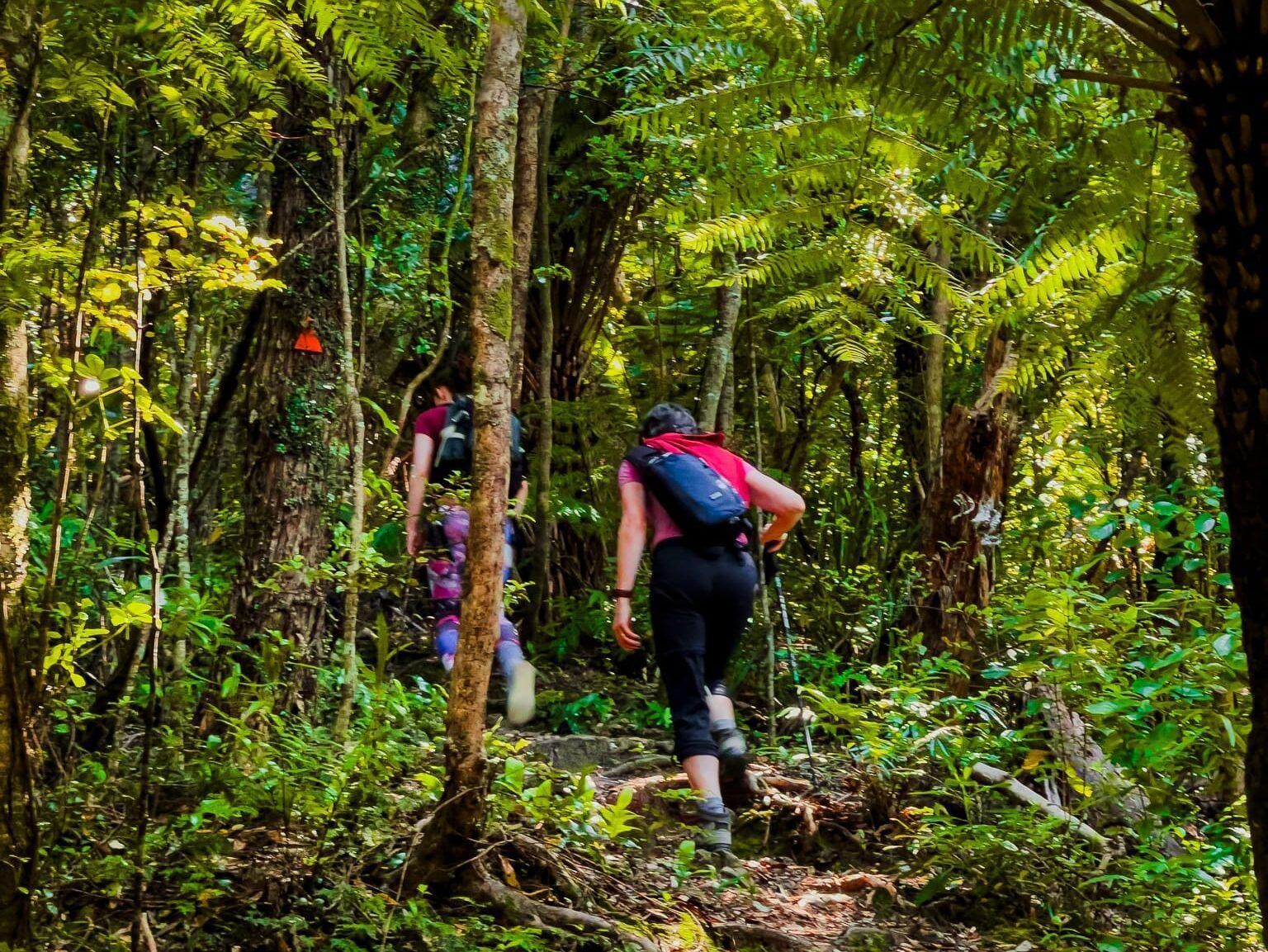
Kāpiti Island, an ecosanctuary located off the Kāpiti Coast of the North Island, is a haven for hikers and bird watchers. The island's most challenging hike is the Trig Track. This track is the shortest and steepest route to the island's peak, making it ideal for a vigorous climb.
Track Details and Highlights
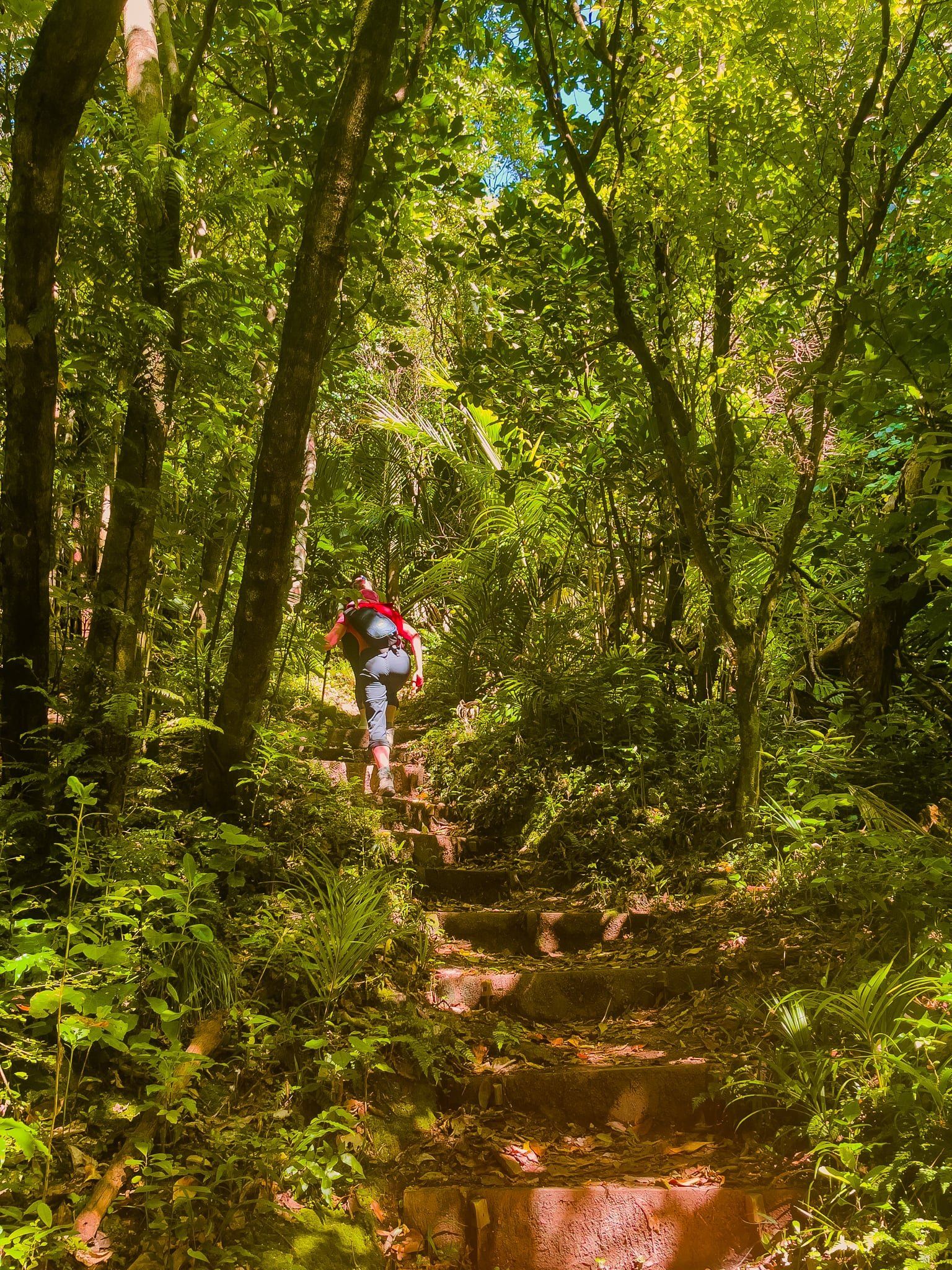
The Trig Track begins at the northern end of the Rangatira Loop Track. It spans two kilometres and involves a 370-metre ascent. The path is moderately rough and narrow in sections, so it's recommended for those who are fit and accustomed to tramping. The climb to the intersection with the Wilkinson Track takes about an hour. From this point, it's a further 100-metre climb over 600 metres to reach Tuteremoana, the island's highest point at 521 metres.
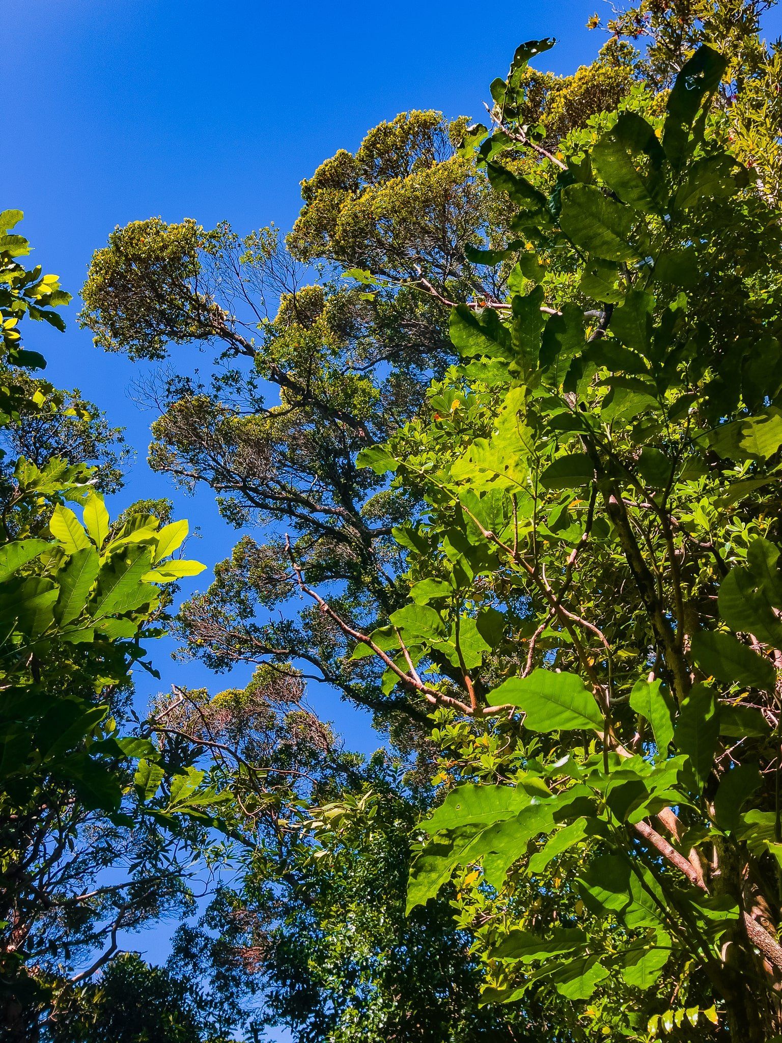
Along the way, you'll encounter attractive young tawa trees and a hīhī feeder near the top. Benches are strategically placed, allowing you to sit quietly and observe the local birdlife, including weka, which are often seen around the track.
Important Considerations
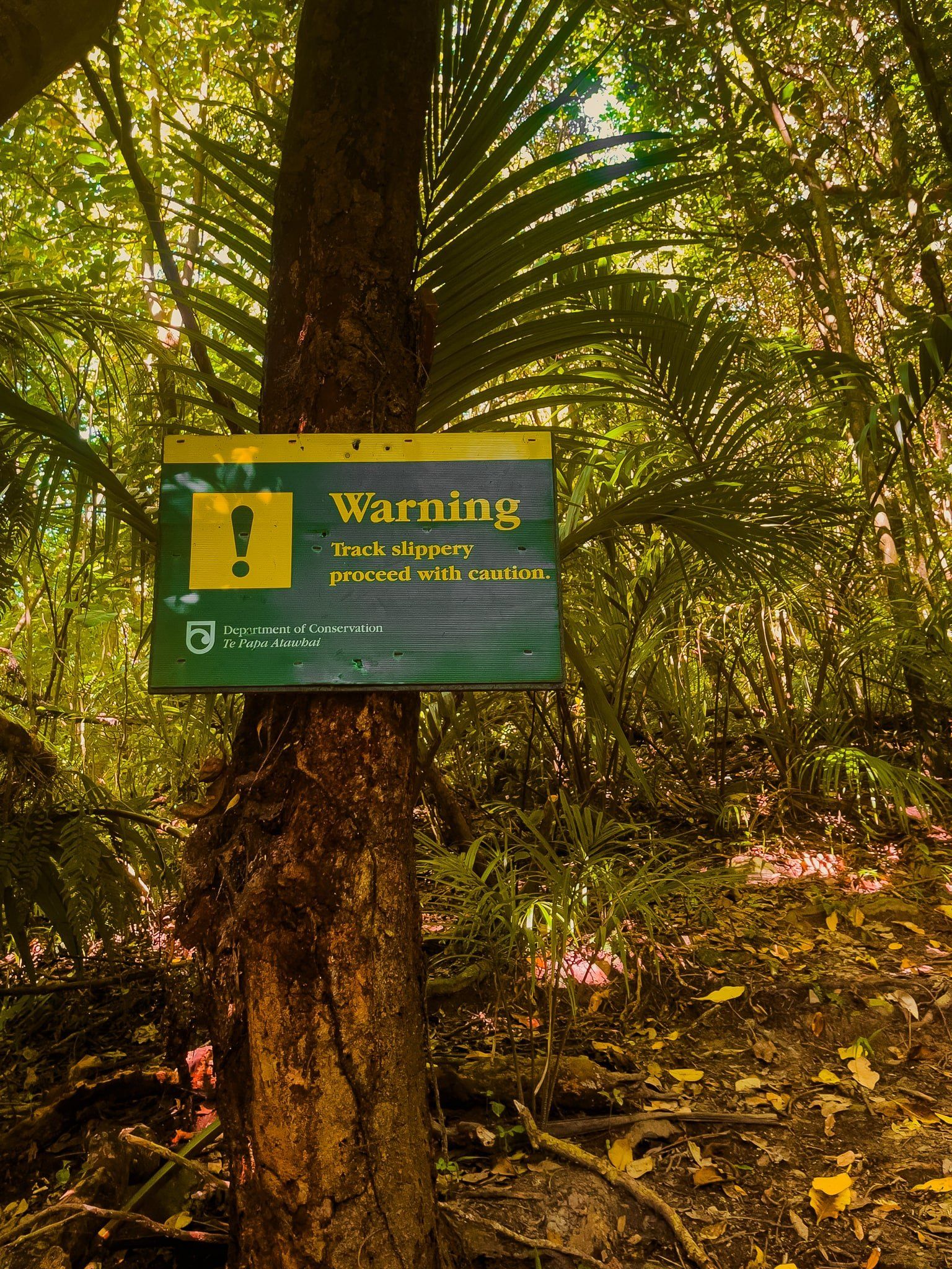
The Trig Track is a one-way route; you must descend via the less steep and better-maintained Wilkinson Track. While the track surface was good on a recent visit, it can become slippery when wet; exercise caution in selecting your route.
How to Get There
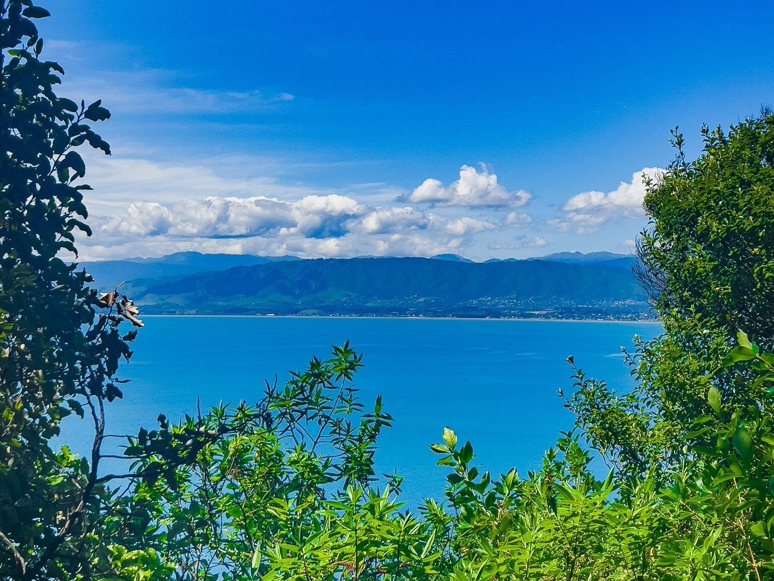
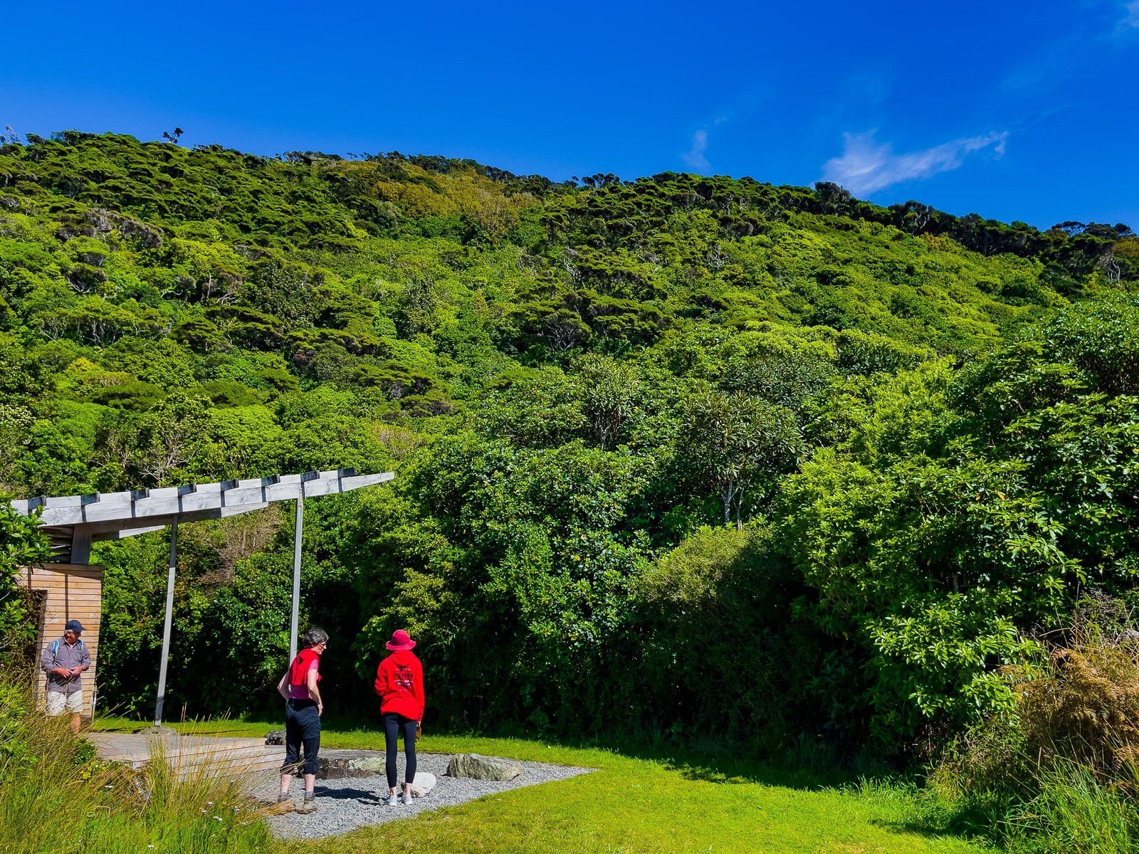
To reach the Trig Track, access to the island is by boat from Paraparaumu Beach to Rangatira Bay. Once on the island, walk to the north end of the Rangatira Loop Track via the visitor centre to begin your ascent.
You can also stay the night on the island at the Lodge, or visit for half a day and walk the Okupe Valley Loop Track and Boulder Bank Loop Track (off-season only).