The Town that Drowned… Twice
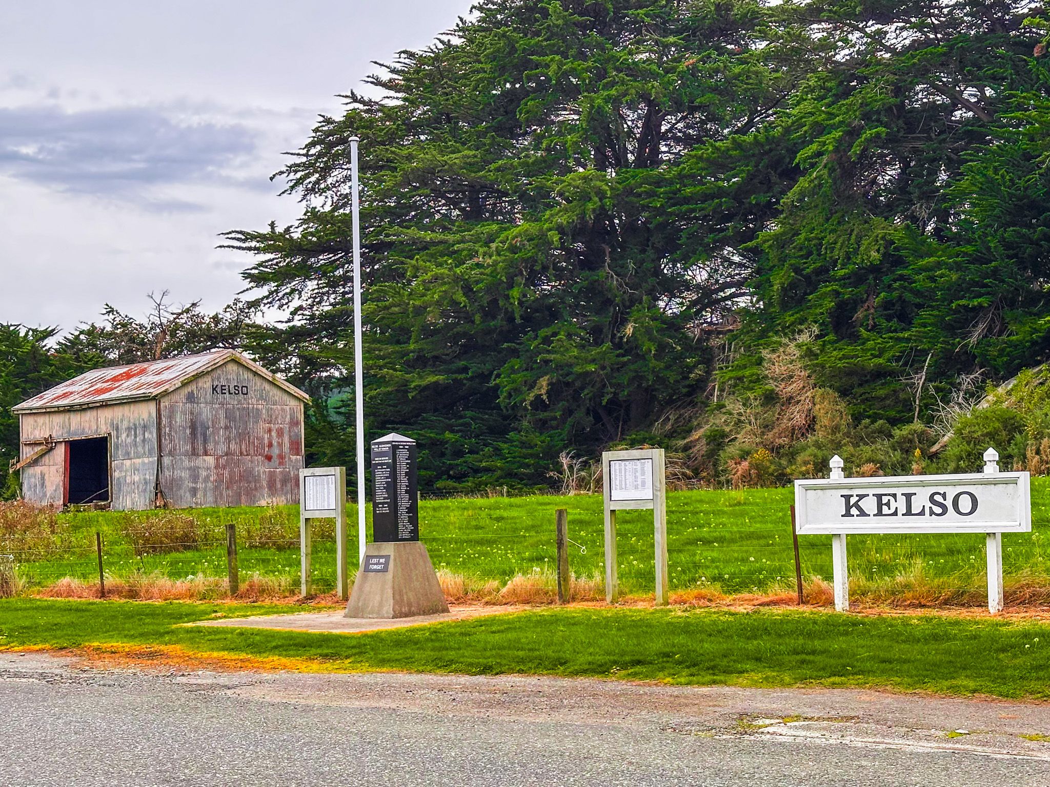
Kelso is one of the most unusual stops in West Otago because it is no longer a town. It’s an abandoned settlement whose story is told through a roadside memorial and information boards, marking the place where homes, shops, and a community stood as recently as 1980.
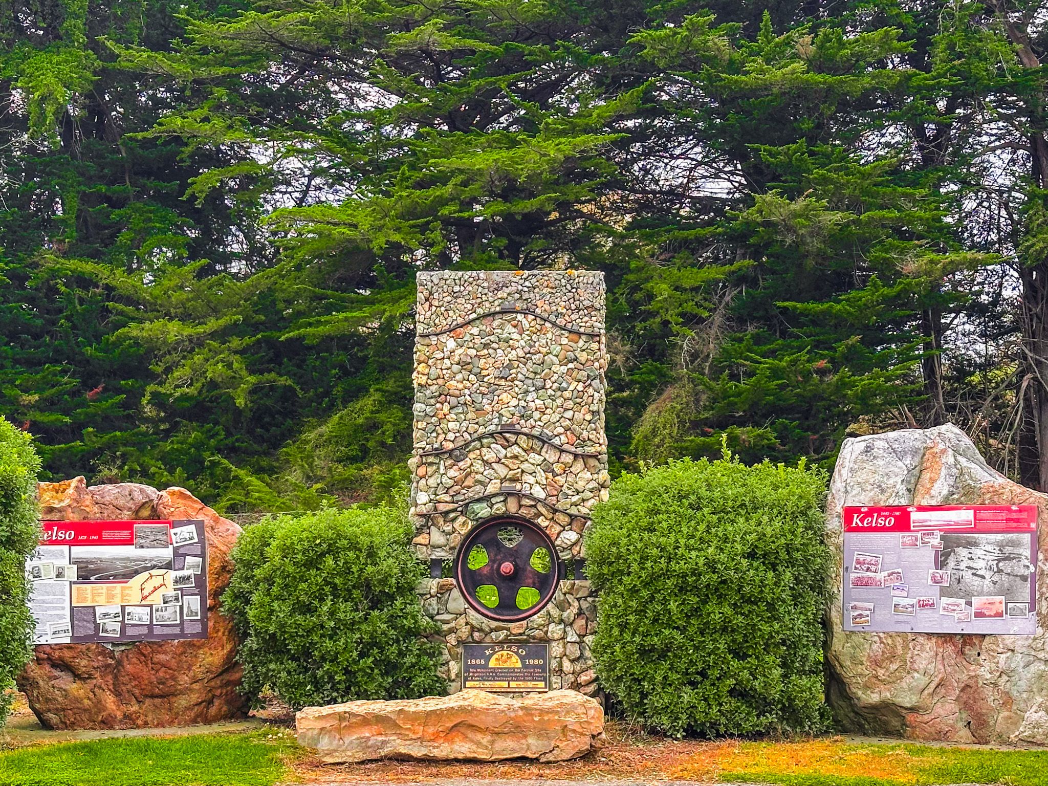
A Town Destroyed by Floods and the Memorial
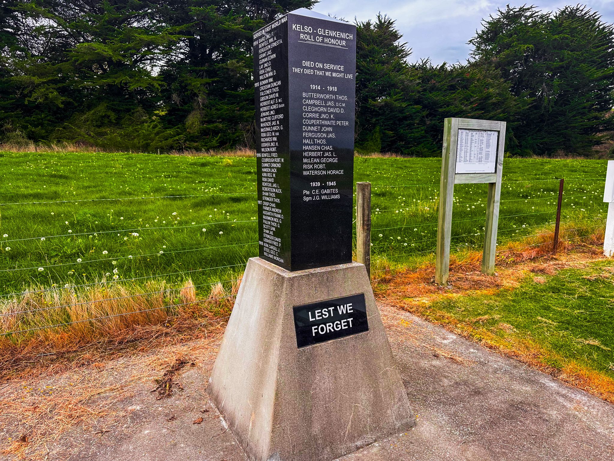
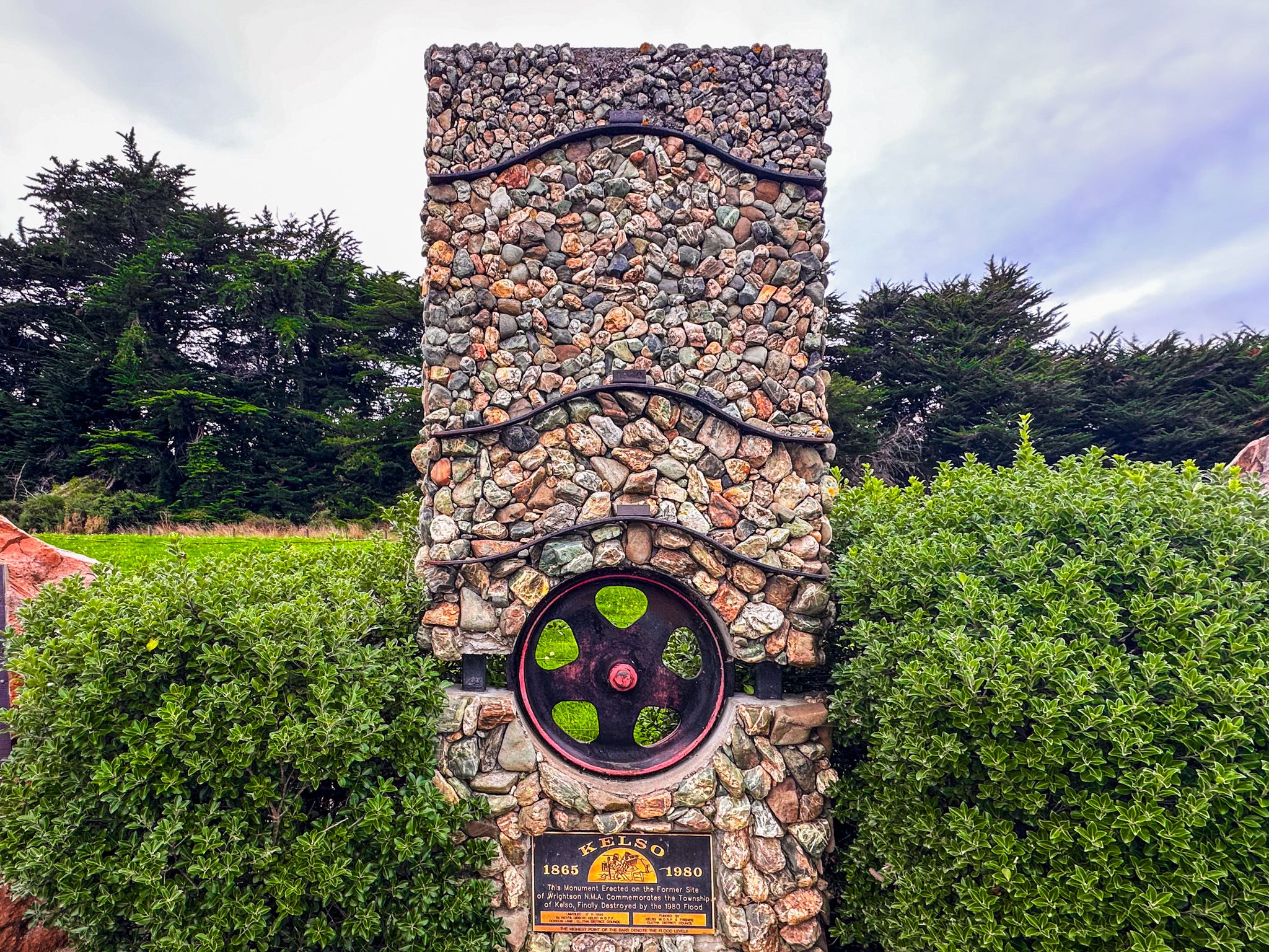
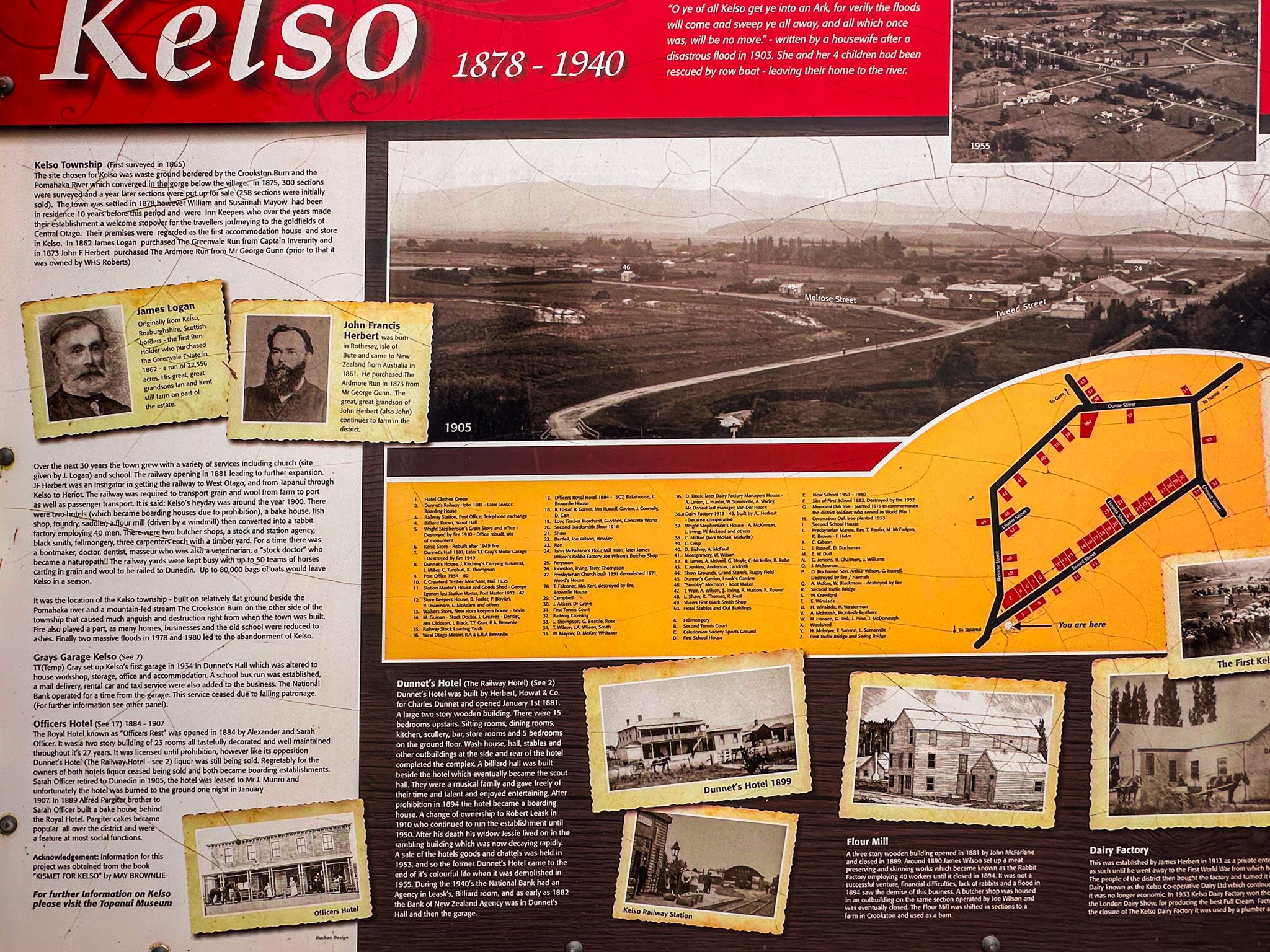
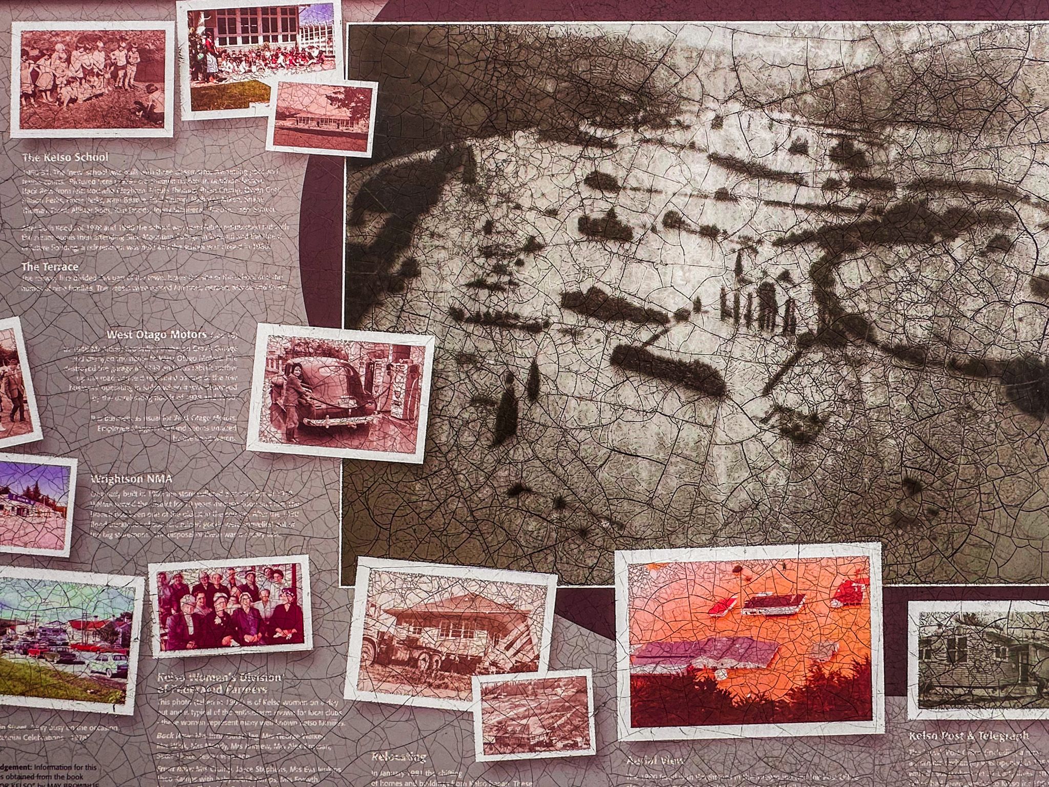
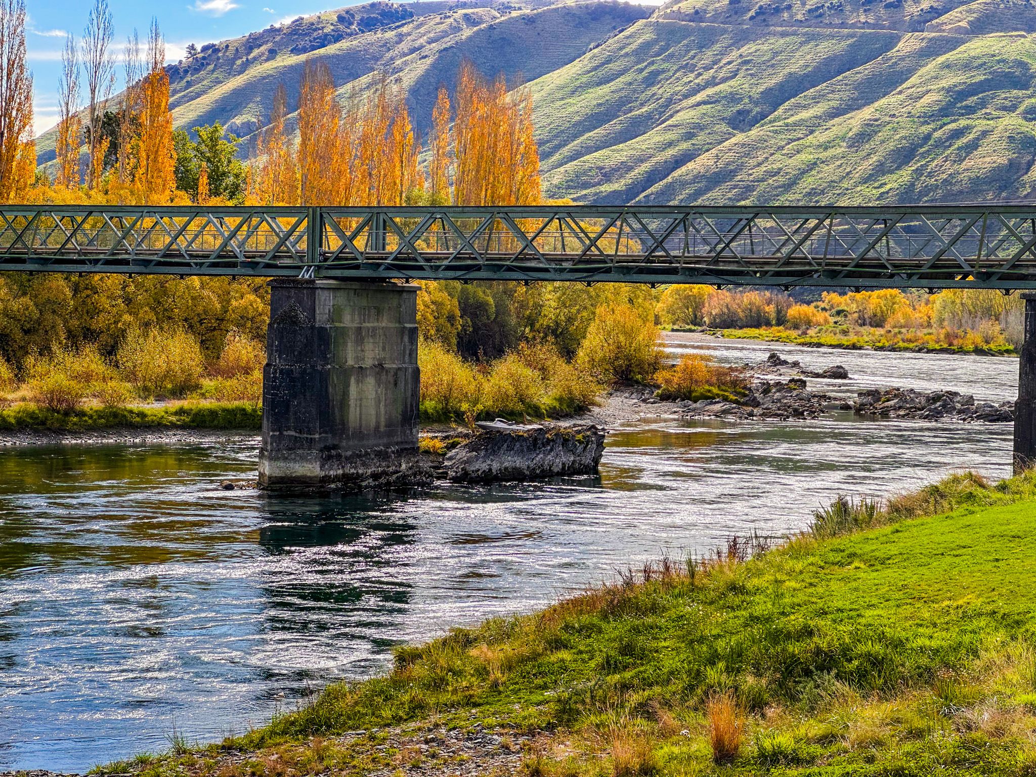
Kelso, located on the floodplain of the Pomahaka River, was flood-prone, but the defining events were two 100 year floods in quick succession. The township was inundated in 1978, then again in 1980. It was rebuilt after the first, then effectively ended after the second, as authorities prevented further rebuilding in the flood zone, and the settlement was abandoned.
There is little left of the built town, with the land retired to pasture, which is part of what makes the stop so striking. The key feature is the Kelso flood monument, a significant roadside stone-and-metal memorial that marks the former township and flood levels. Nearby, interpretive panels help you visualise where the streets and buildings once stood, turning a quick roadside pause into a genuinely memorable place with a story.
How to Get There
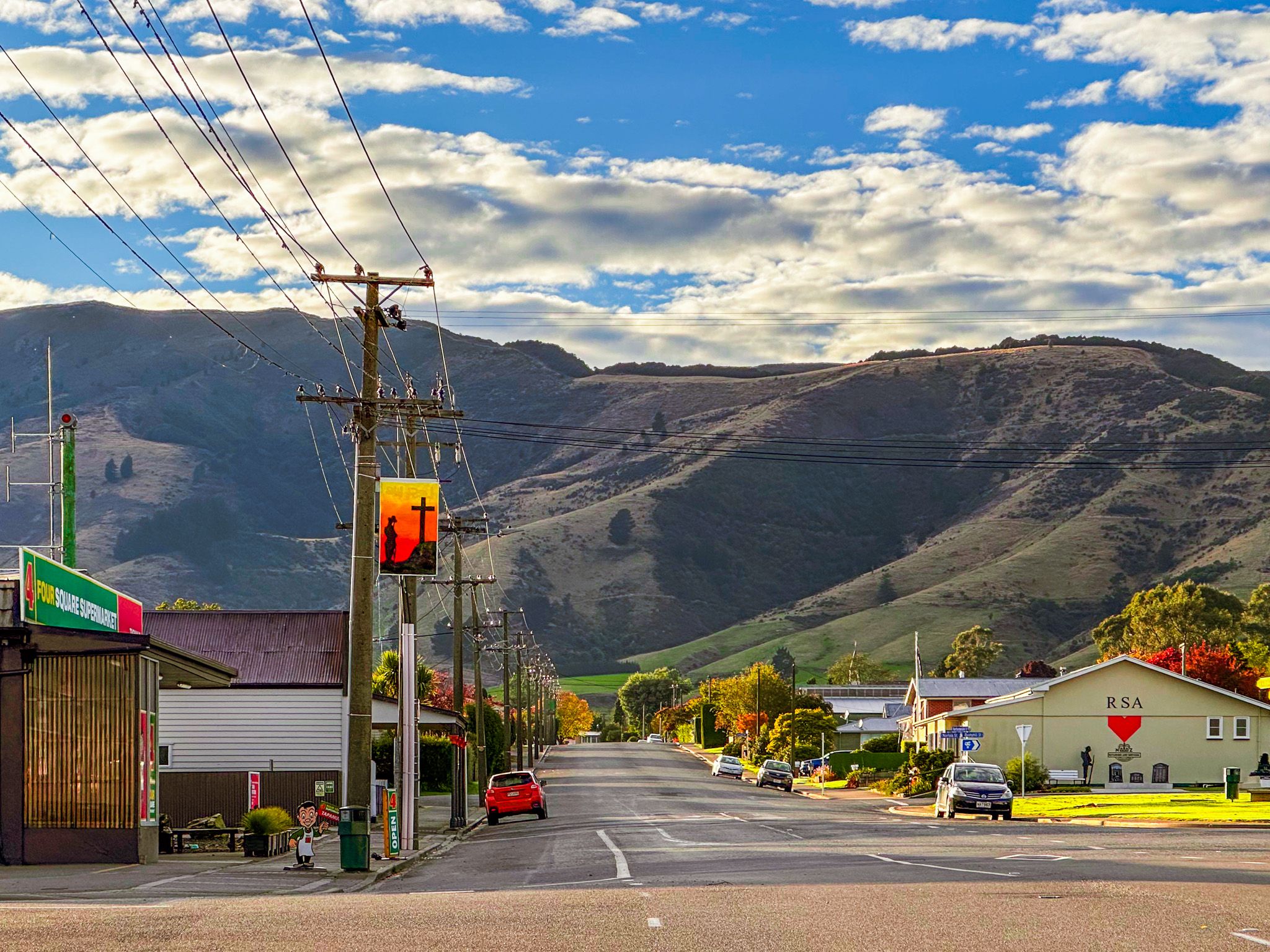
Kelso is on Wooded Hill Road, shortly before the intersection with Ardmore Road and Greenvale Road. From State Highway 90, north of Tapanui, take Wooded Hill Road. The drive is a few minutes from Tapanui, about 10 km.
Other nearby places to explore include Leithen Glen, Gore, Bannerman Park, the Hokonui Moonshine Museum and Distillery, the Eastern Southland Gallery, Dolamore Park and the Whiskey Creek Track in the Hokonui Hills.