Discover Tapanui at the Foot of the Blue Mountains
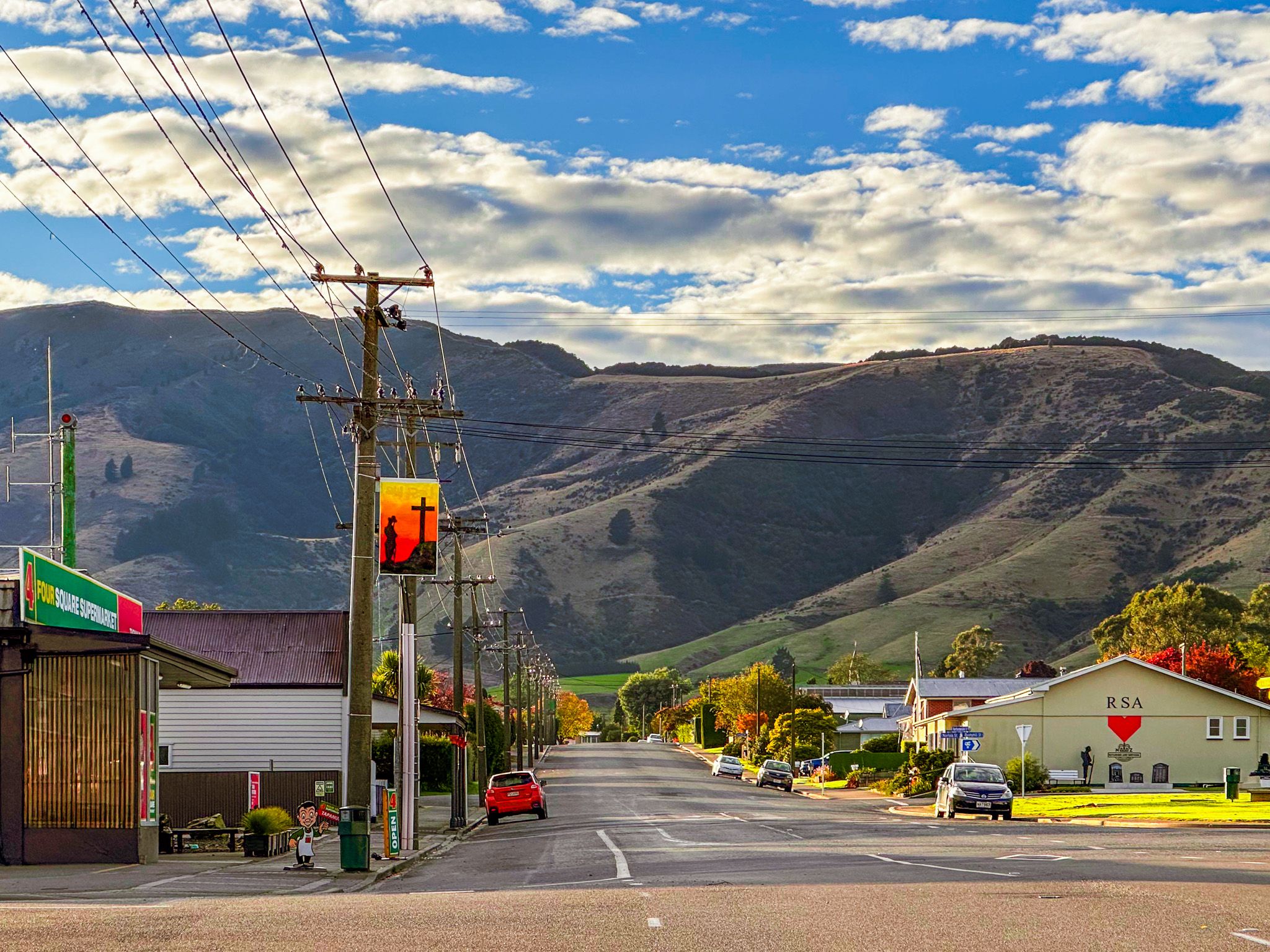
Tapanui is a small West Otago town in Clutha District, near the Southland boundary, located between the Blue Mountains and the Pomahaka River. It is a handy base for a night or two if you are travelling through inland Southland and Otago, with the town’s “edge of the forest” identity showing up in local storytelling and the nearby Blue Mountains.
River Flats to Blue Mountain Walks
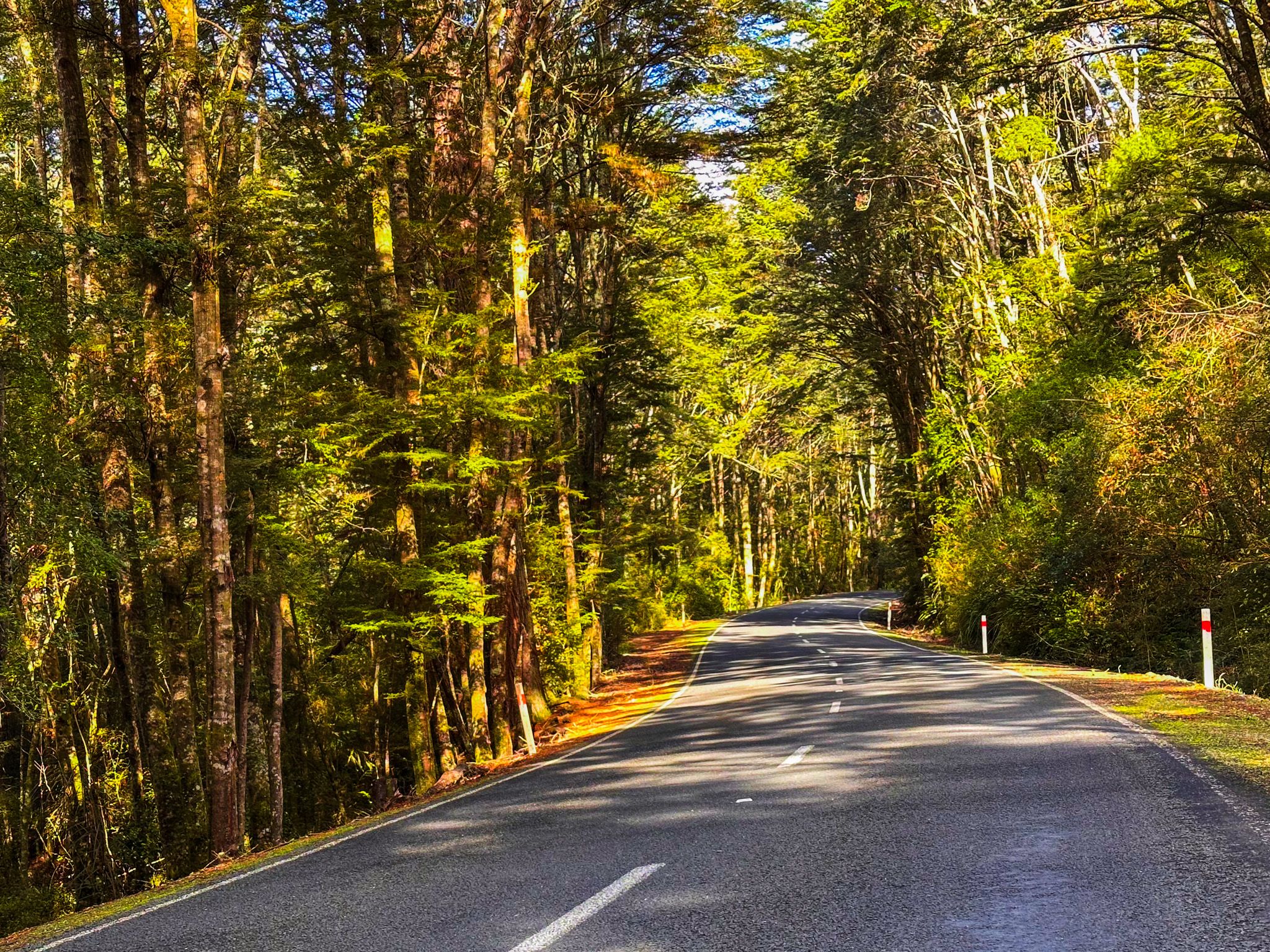
The countryside around Tapanui shifts quickly from open, undulating farmland into steeper forested gullies as you head toward the Blue Mountains. This range rises to just over 1,000 m at Tapanui Hill and forms a barrier between the Clutha and Pomahaka river catchments.
Hikes in the Blue Mountains
The Blue Mountains tracks are defined by three distinct environments, and you can feel the change underfoot as you go.
Whisky Gully Track, at the southern end of the range, is sheltered and stream-lined, with dense beech rainforest. There is a short loop option near the trailhead and a longer return walk to a waterfall, then continuing to the tops. Black Gully, at the northern end, climbs around 500 metres through regenerating native bush to the tops. Allow 4 to 5 hours for each of these tracks return if you go all the way to the tops.
For a full day, Blue Mountain Tops Track links Whisky Gully to Black Gully along the tops of the range, a 14 km traverse, 6 to 8 hour tramp. Once you are up high, the Blue Mountain Tops Track shifts into open tops and grassland. The gullies show off the native forest, while the tops are exposed and open, creating a contrast that enhances the appeal.
Forestry Stories and a Famous Doctor
Tapanui’s local iwi, Ngāi Tahu, knew the range as Te Papanui, later reflected in the town's name. Common interpretation is “edge of the forest”, although the simpler translation is “big flat land”. There is also the more interesting e Tapuae-o-Uenuku as a source - “footprint of the rainbow god”!
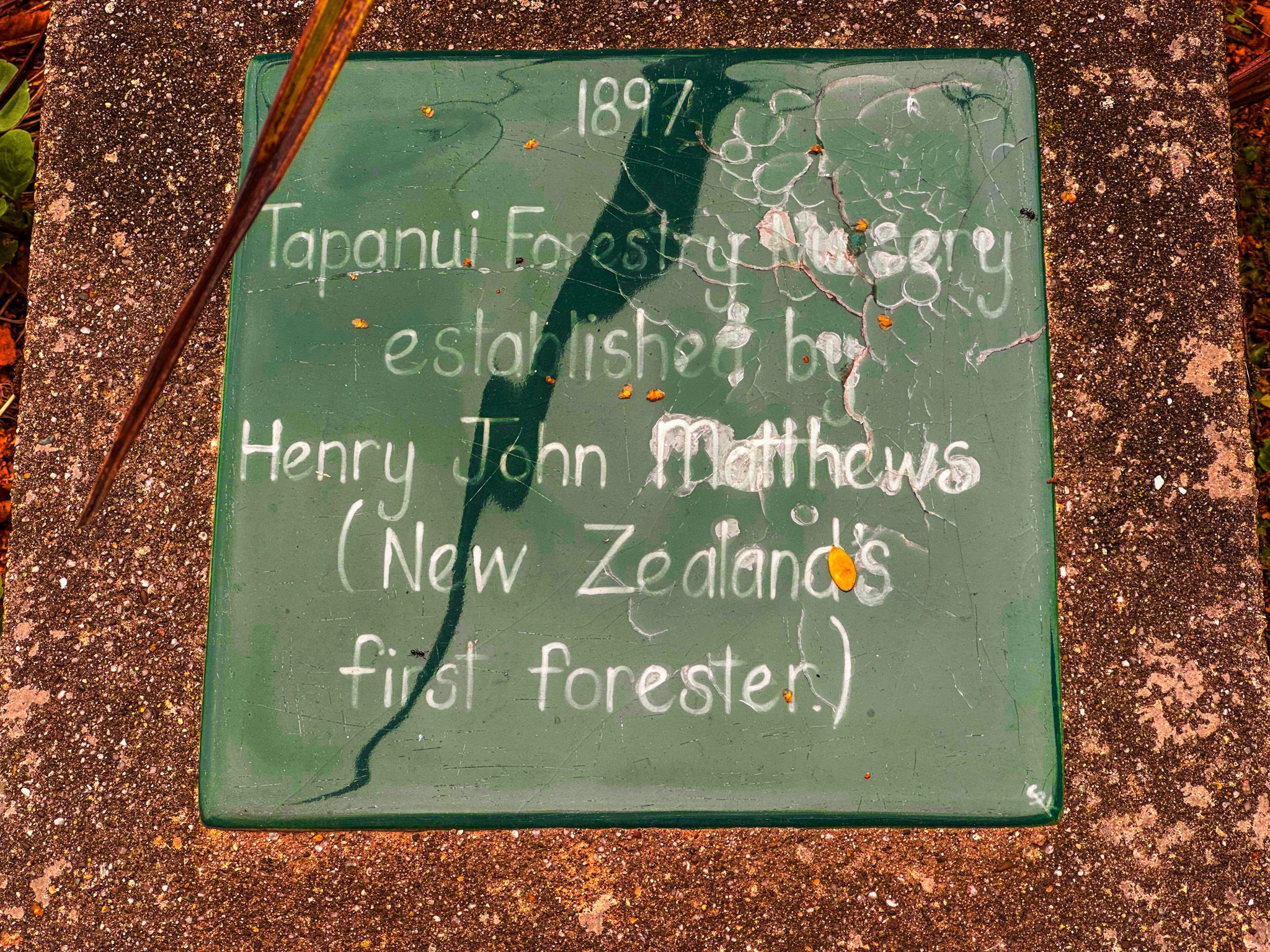
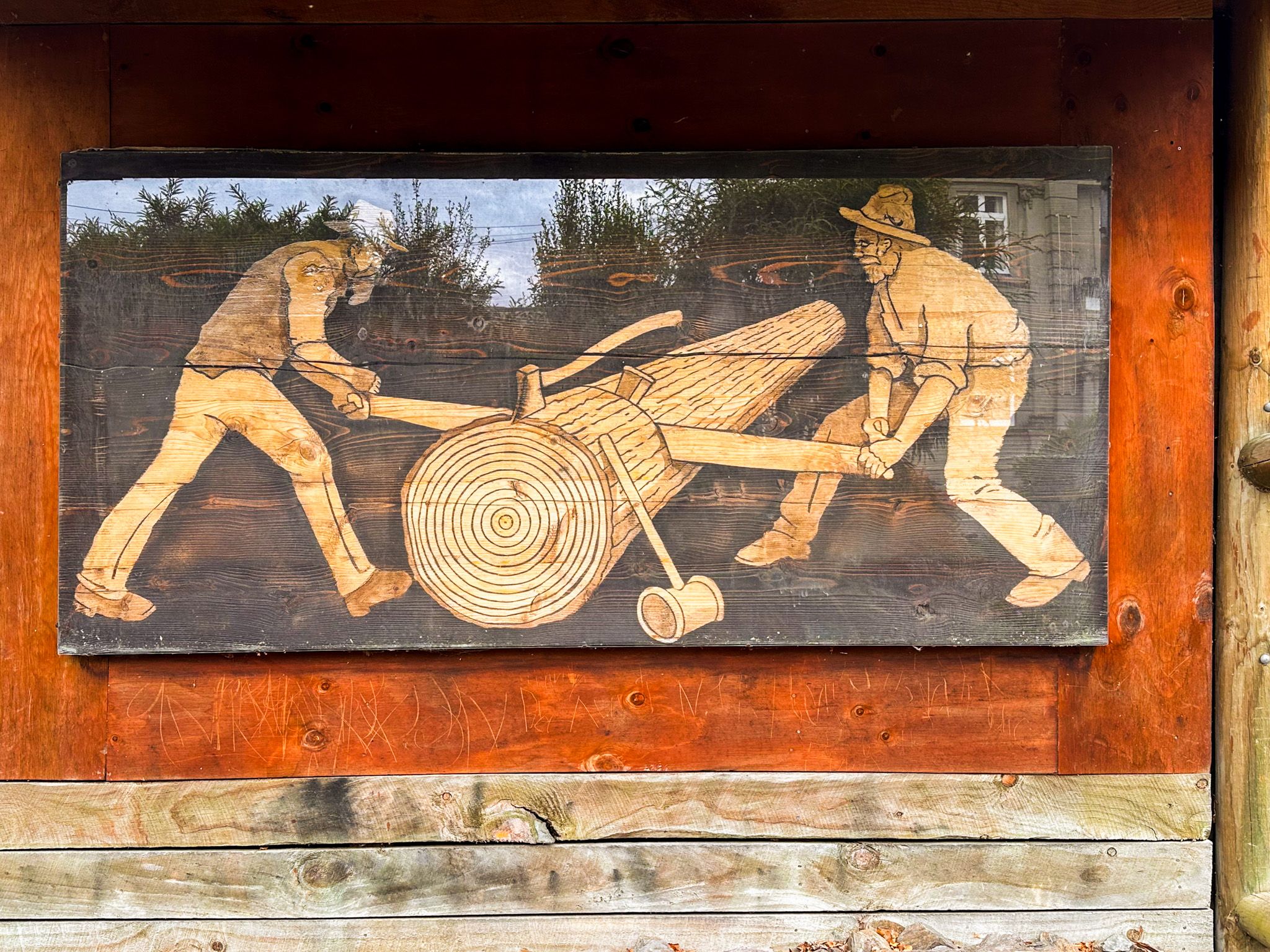
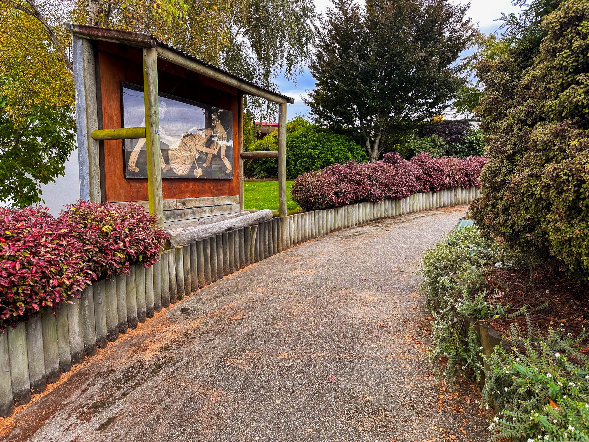
Forestry shaped the town early on, and you can still see that history in how the town is presented. The district was an early sawmilling centre. The extensive forests were milled, and by the 1920s, the area was largely farmland. Local signage near the library gardens adds some detail. John Patterson started the first sawmill in 1866, which led to the establishment of Tapanui town. Henry John Matthews is also noted. He was a critical figure in New Zealand’s early exotic forestry development, and by May 1897, he had set up a nursery at Tapanui to supply forestry plantations that were being established to replace the native species. He knew that exotic conifers would mature far faster than most native timber species, and by the mid-1920s, pinus radiata was being planted on the Blue Mountains. Matthews led similar initiatives at Whakarewarewa in Rotorua, Hanmer Springs in Canterbury and Naseby in Central Otago.
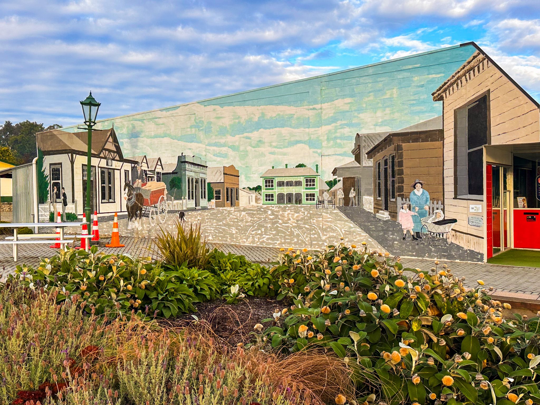
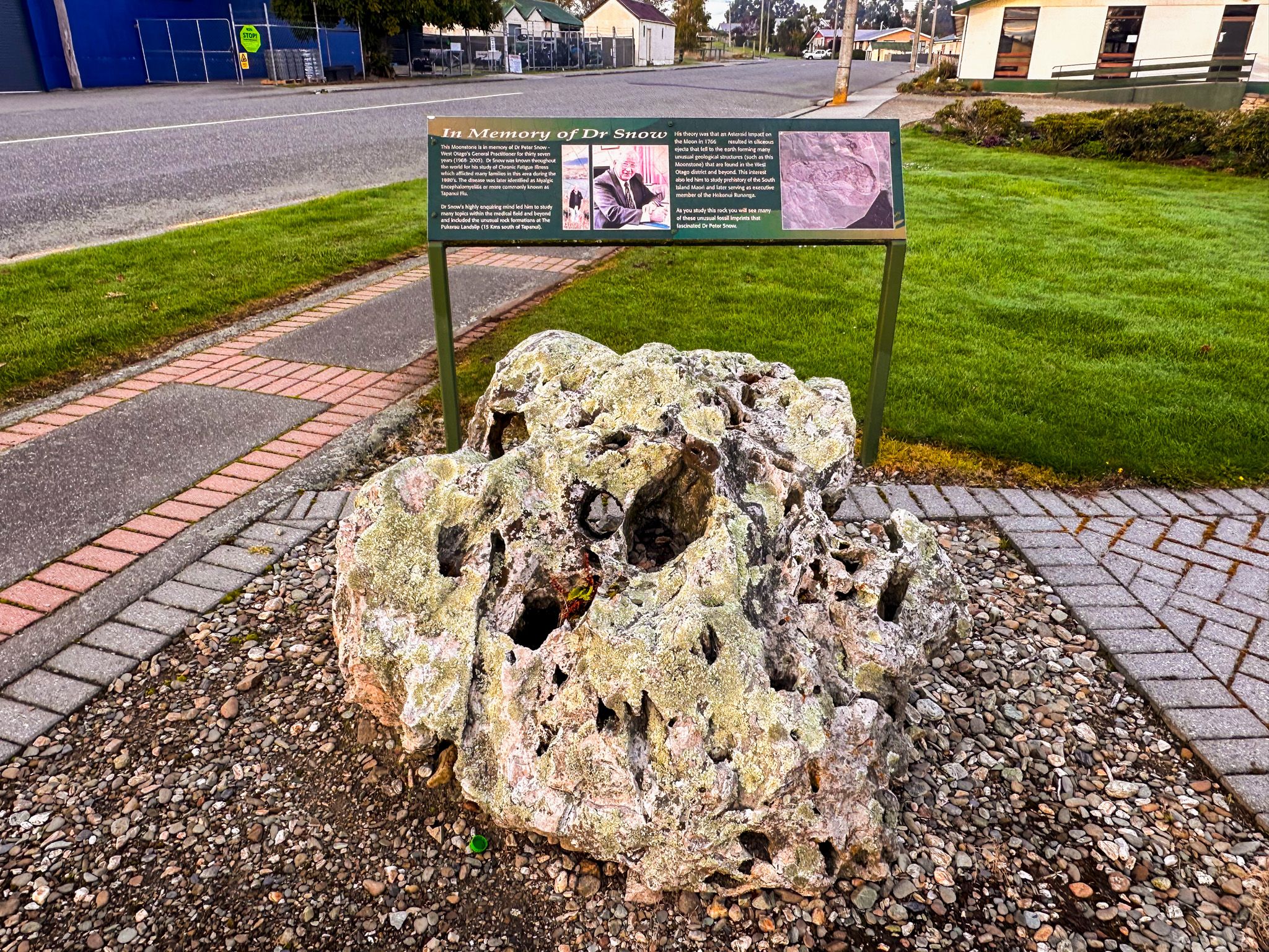
Tapanui also has a more modern story that travelled well beyond West Otago. Dr Peter Grahame Snow, the town’s long-serving GP, was the first doctor in New Zealand to report what became recognised, decades later, as ME/CFS, which for years was popularly called “Tapanui flu”. On the main street, a small memorial park honours his legacy with signage and a striking centrepiece: a large “moonstone.” The park's back walls also feature a large mural depicting early Tapanui life.
Attractions and Facilities
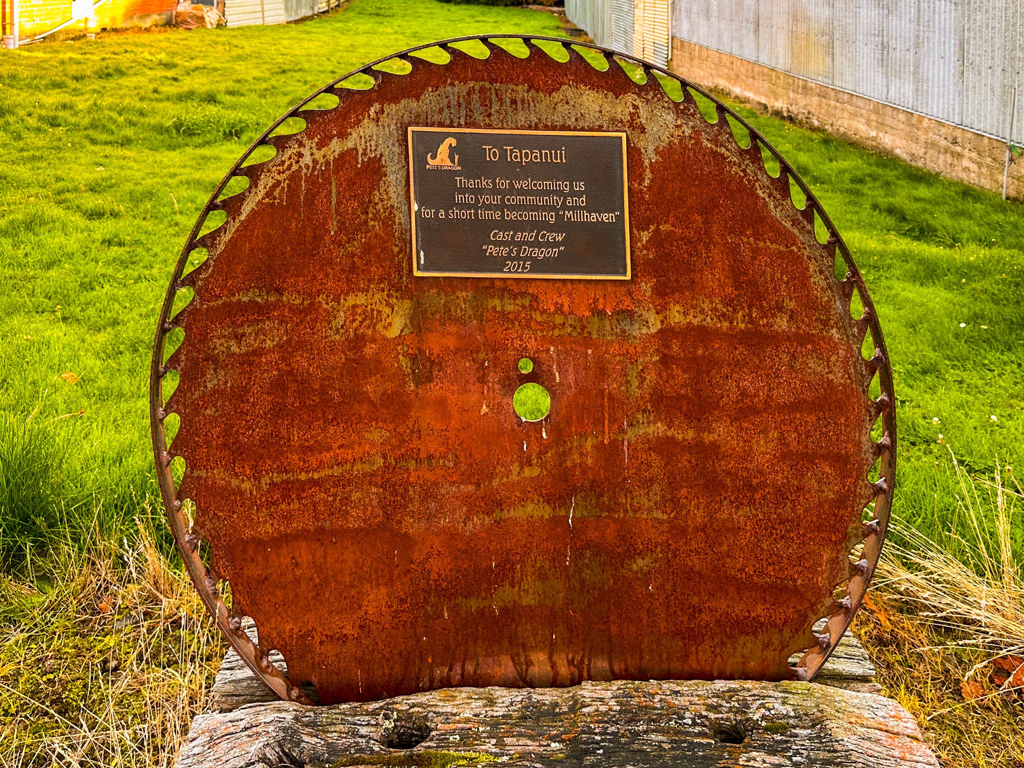
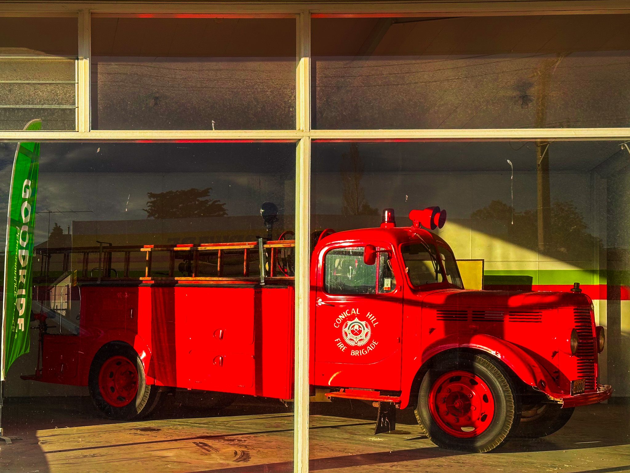
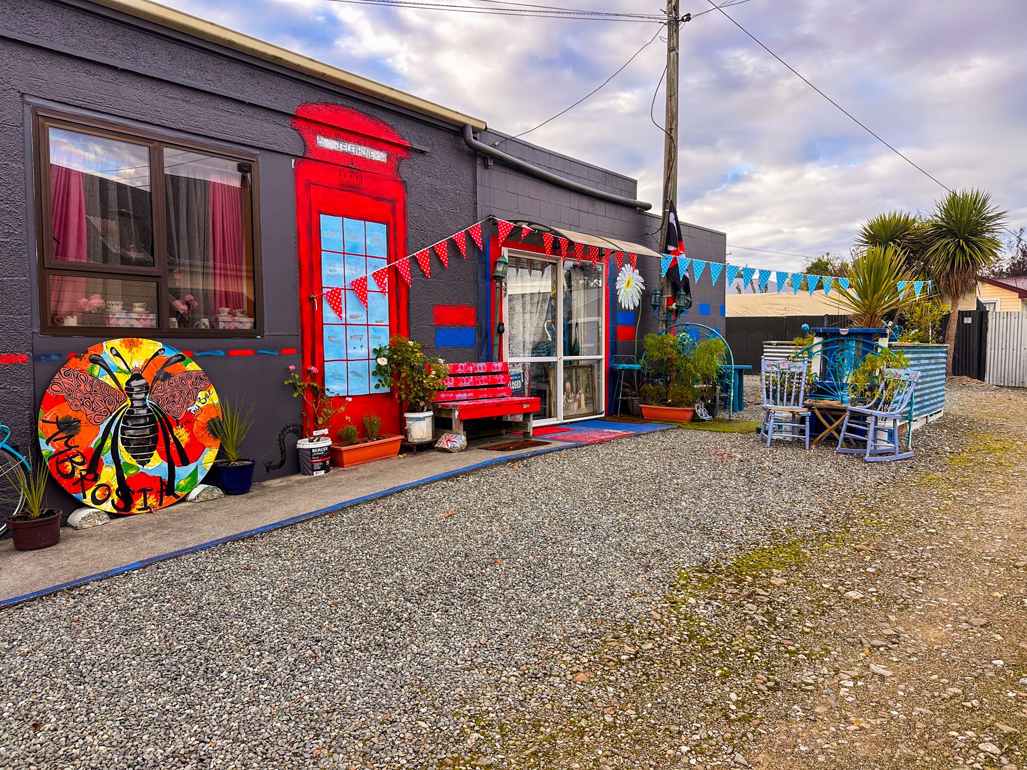
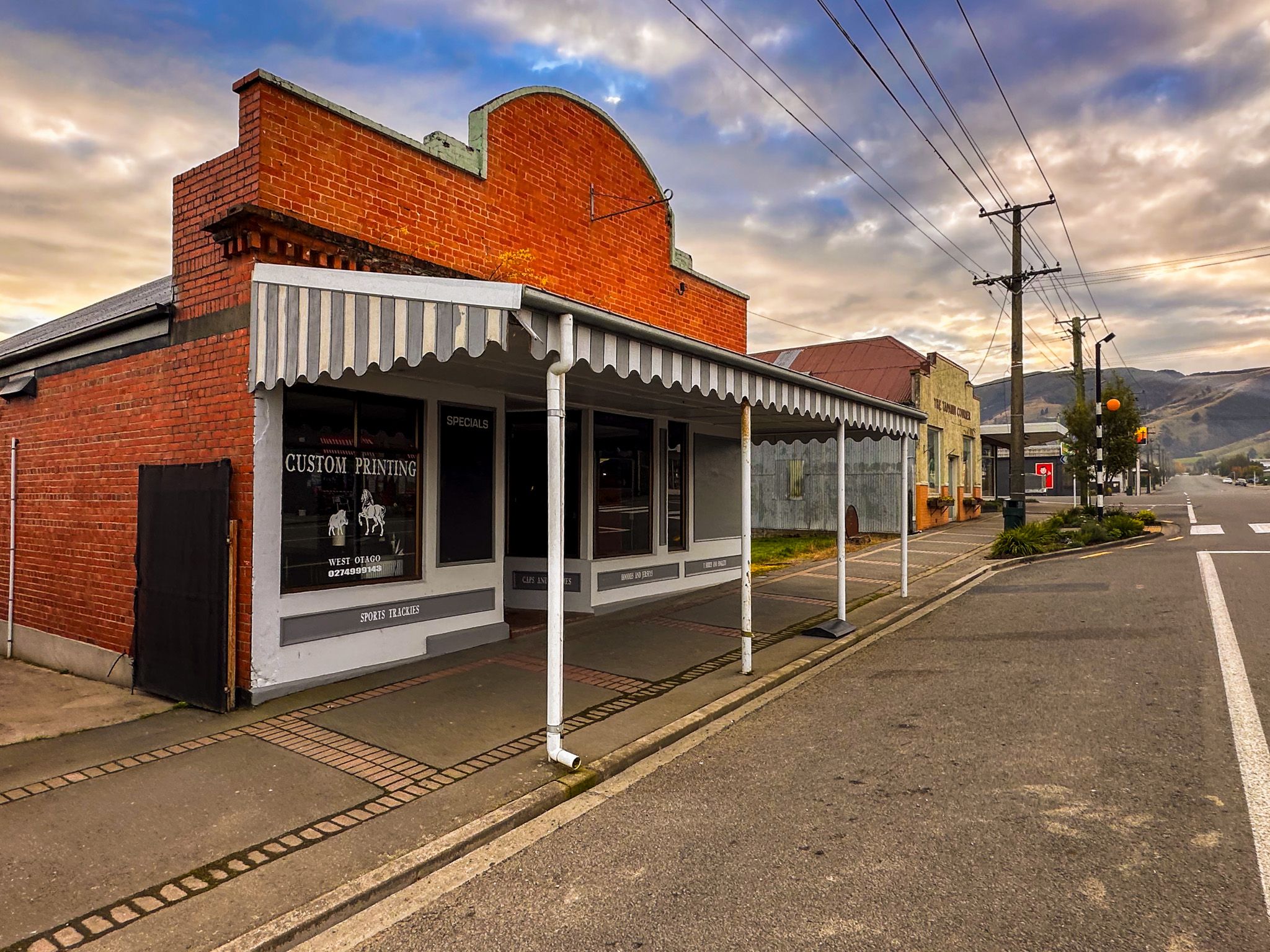
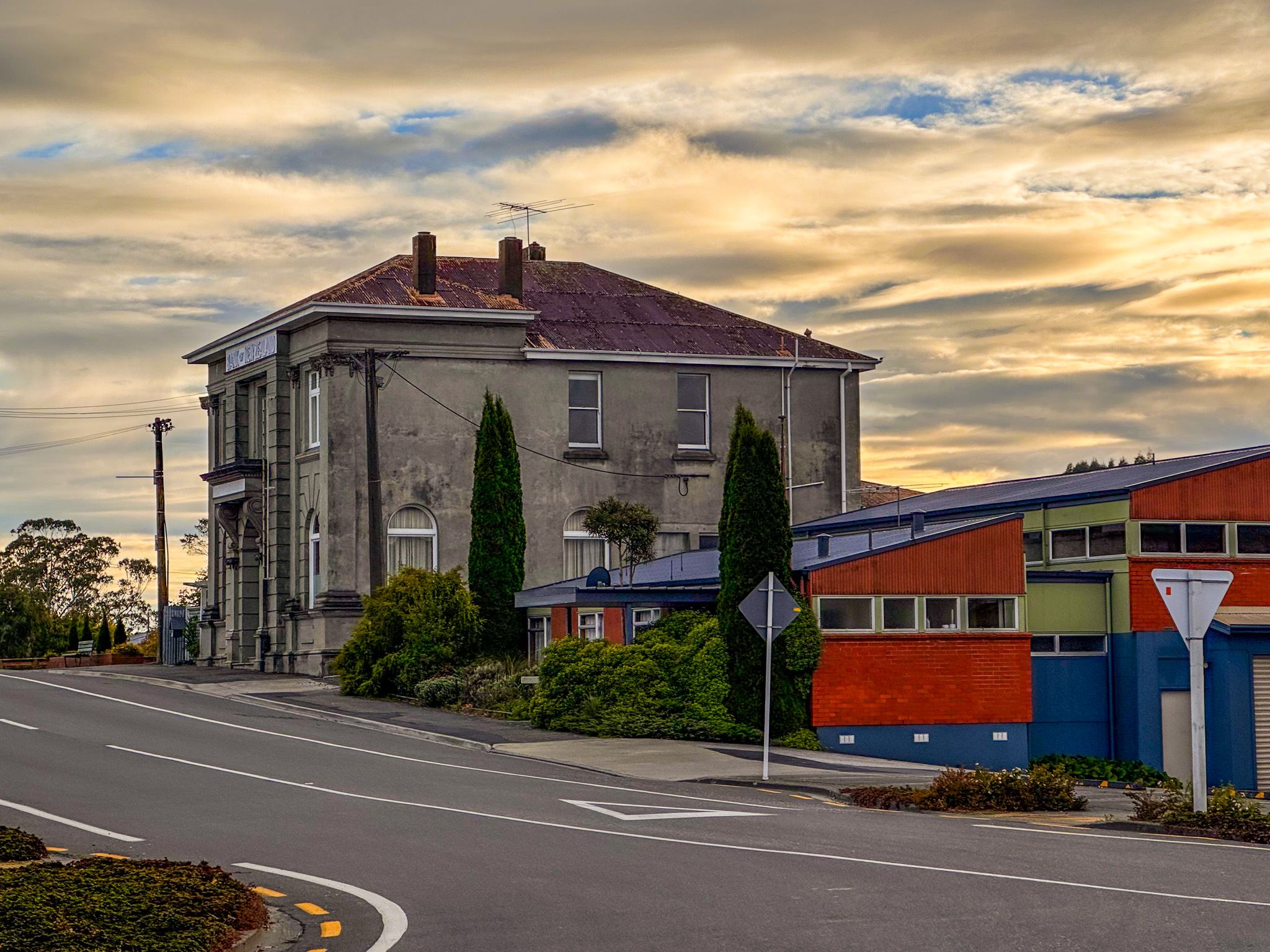
Tapanui is small, but it does the essentials well and clearly values its heritage. You can combine a short walk, a slow look at the town’s murals, colourful shops and memorials, and an easy drive out to the Blue Mountains trailheads without a complicated plan. Look out for the historic BNZ building, the most substantial in town, the local museum, the beautiful vintage fire truck, and the saw blade thank-you from the cast and crew of Pete’s Dragon.
How to get there
Tapanui sits on State Highway 90, which links Gore on State Highway 1 with Raes Junction on State Highway 8, between Beaumont and Millers Flat, passing through rolling hill country and across the Pomahaka River into town. From Gore, it is about 36 km and around 25 minutes by car. From Dunedin, the drive is 110 minutes and 146 km. Invercargill is 75 minutes and 100 km away.
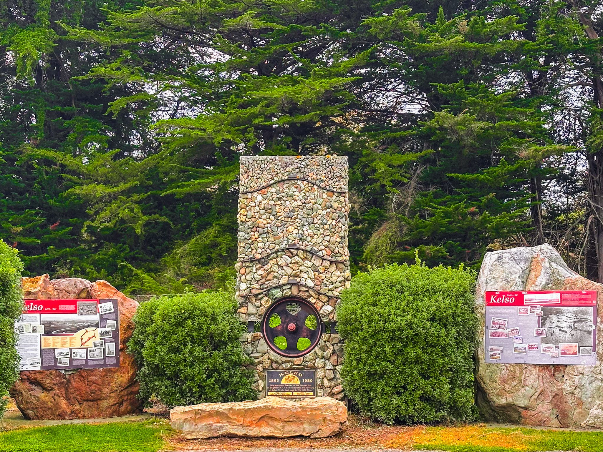
Other nearby places to visit include Leithen Glen with a stop at Kelso, Gore and Croydon Reserve.