Exploring the Lake Ellery Track
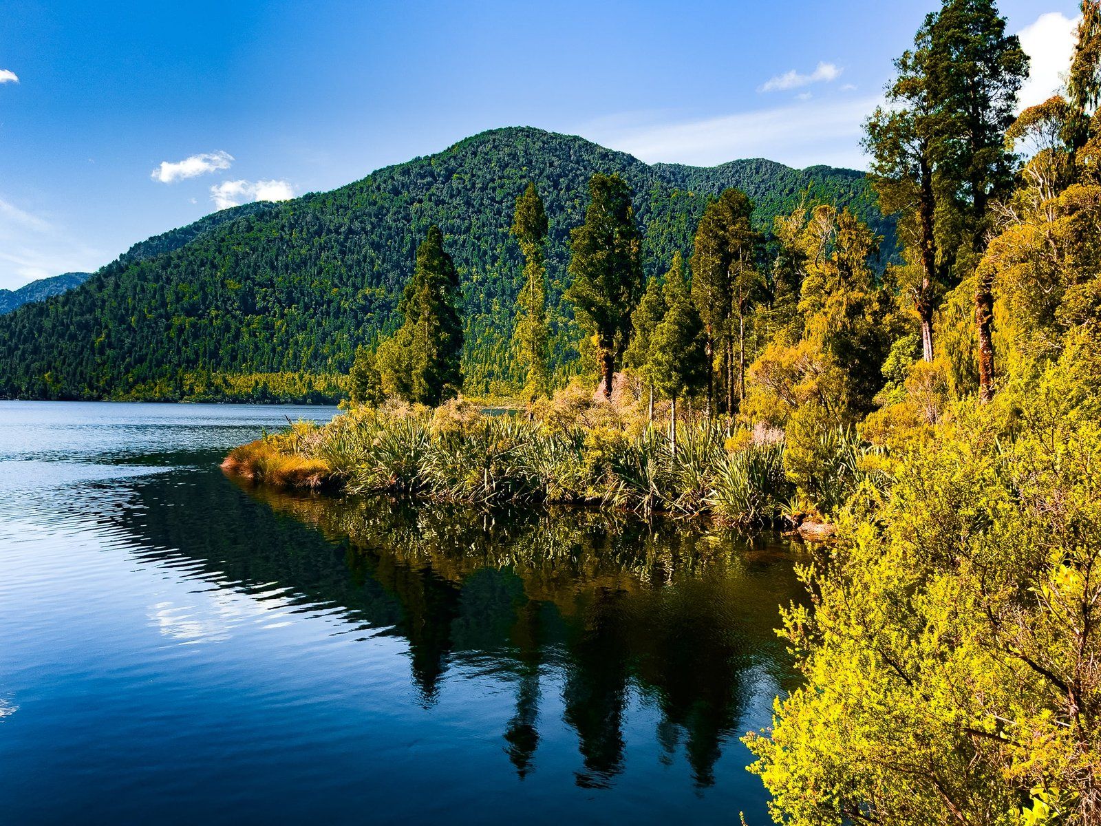
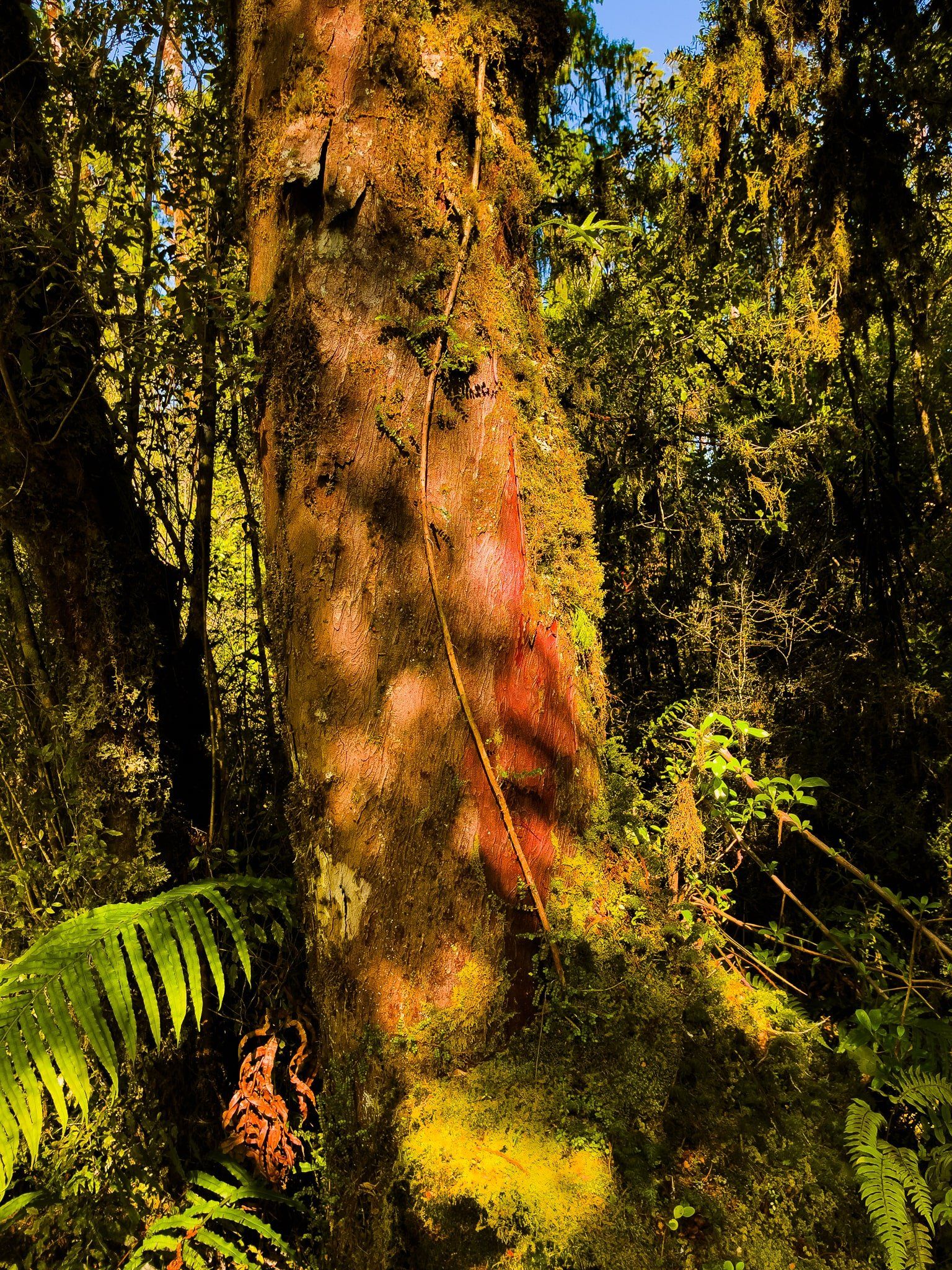
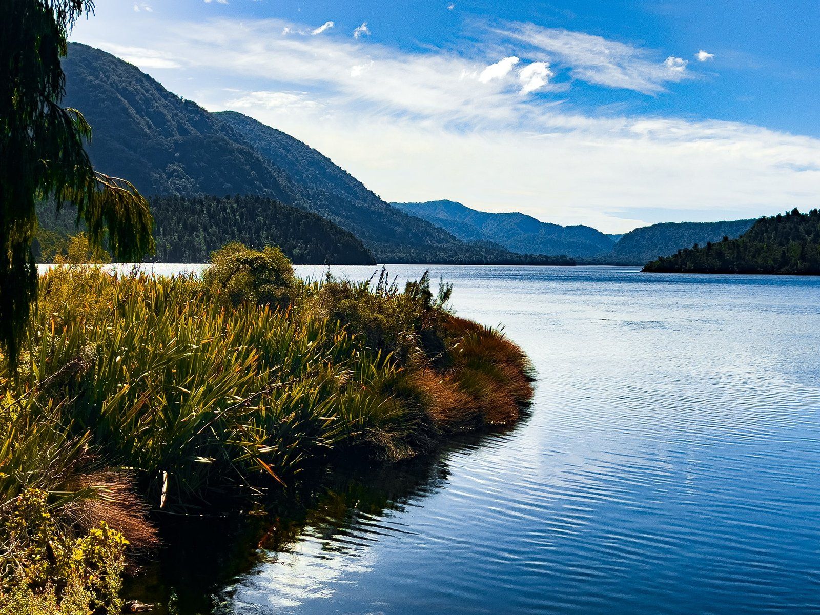
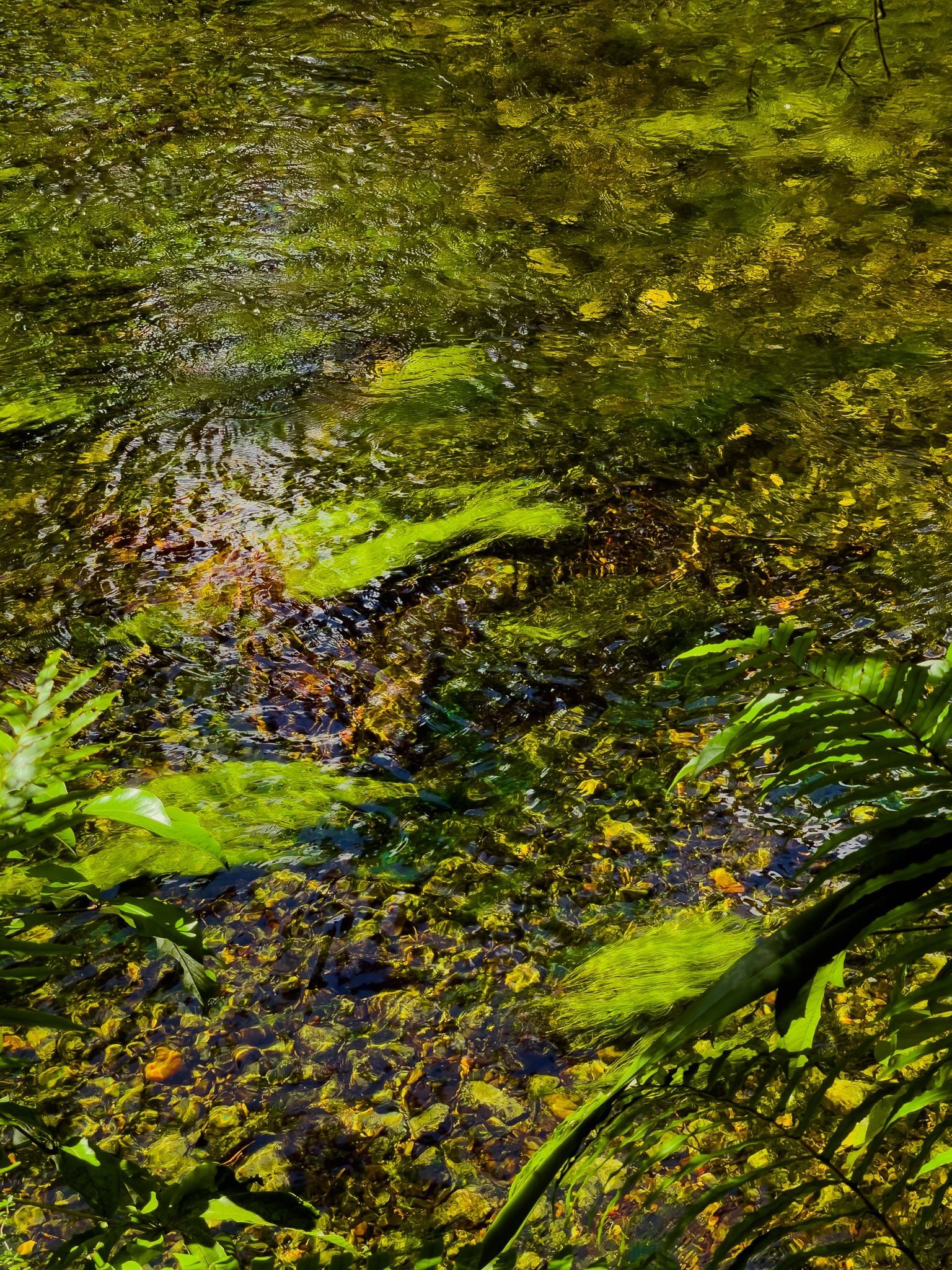
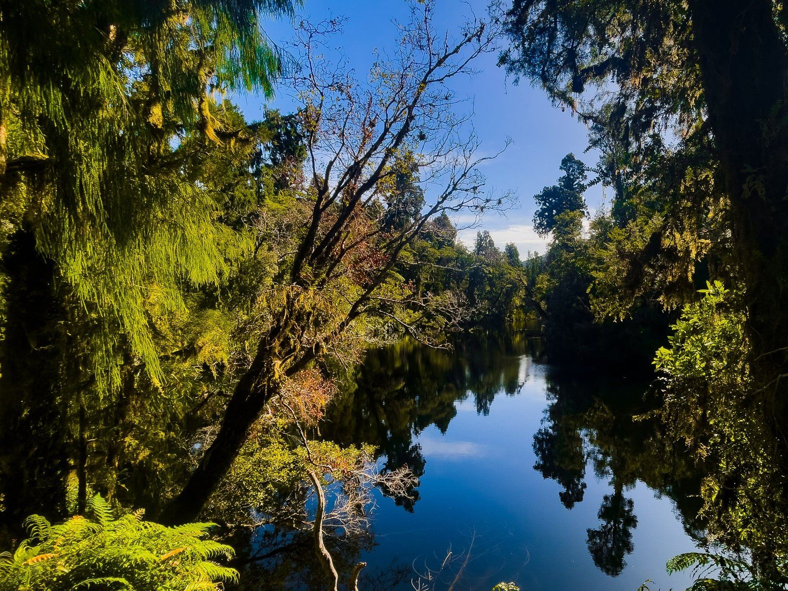
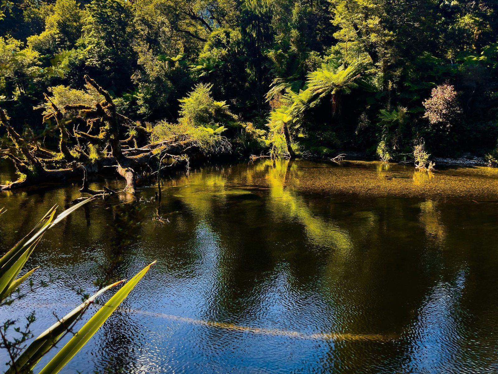
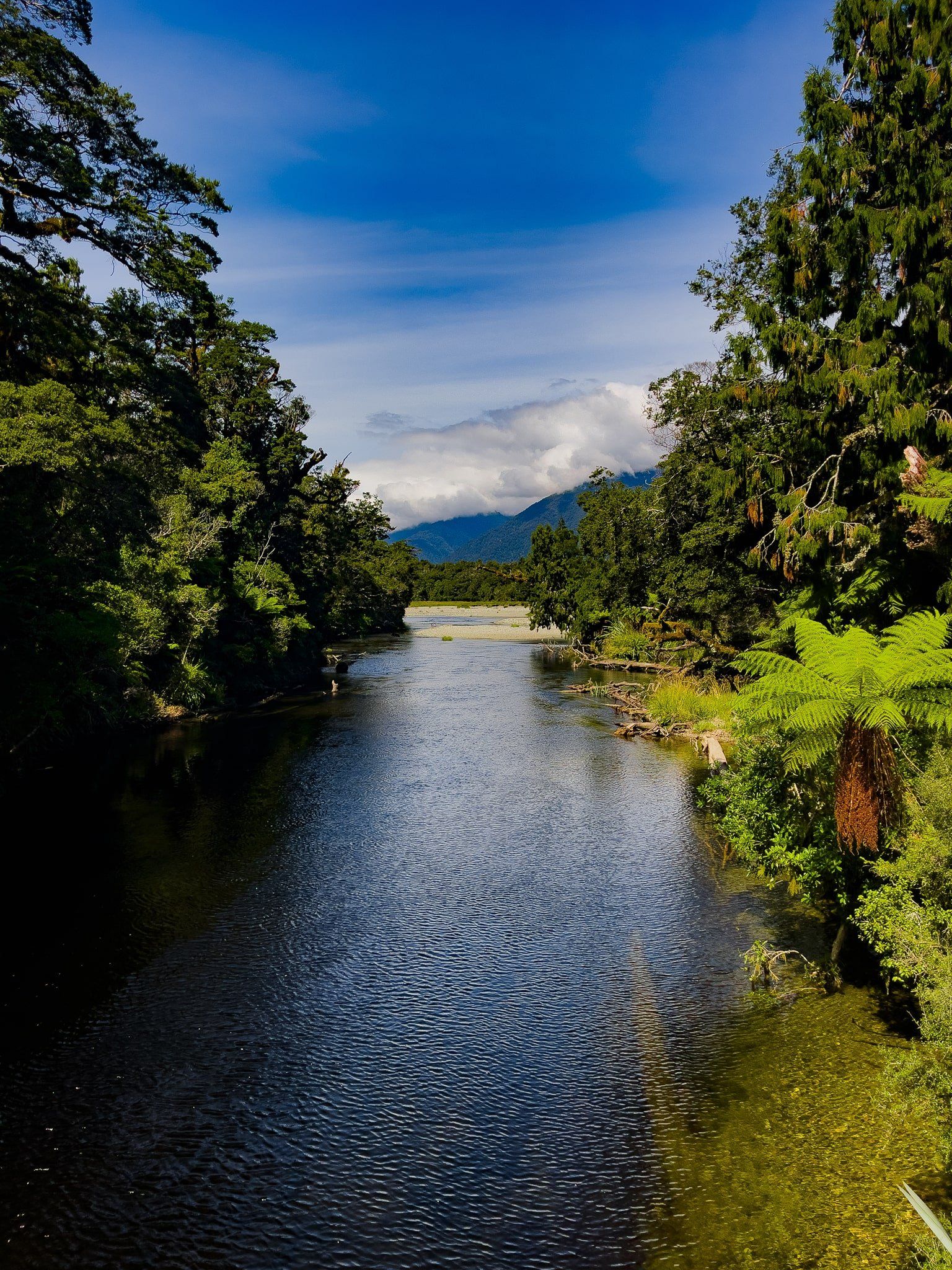
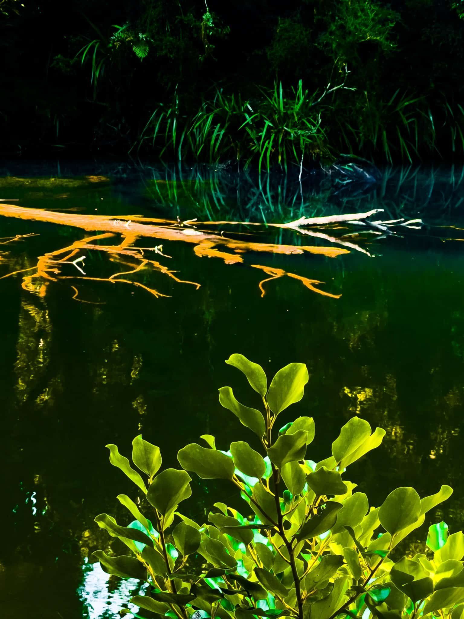
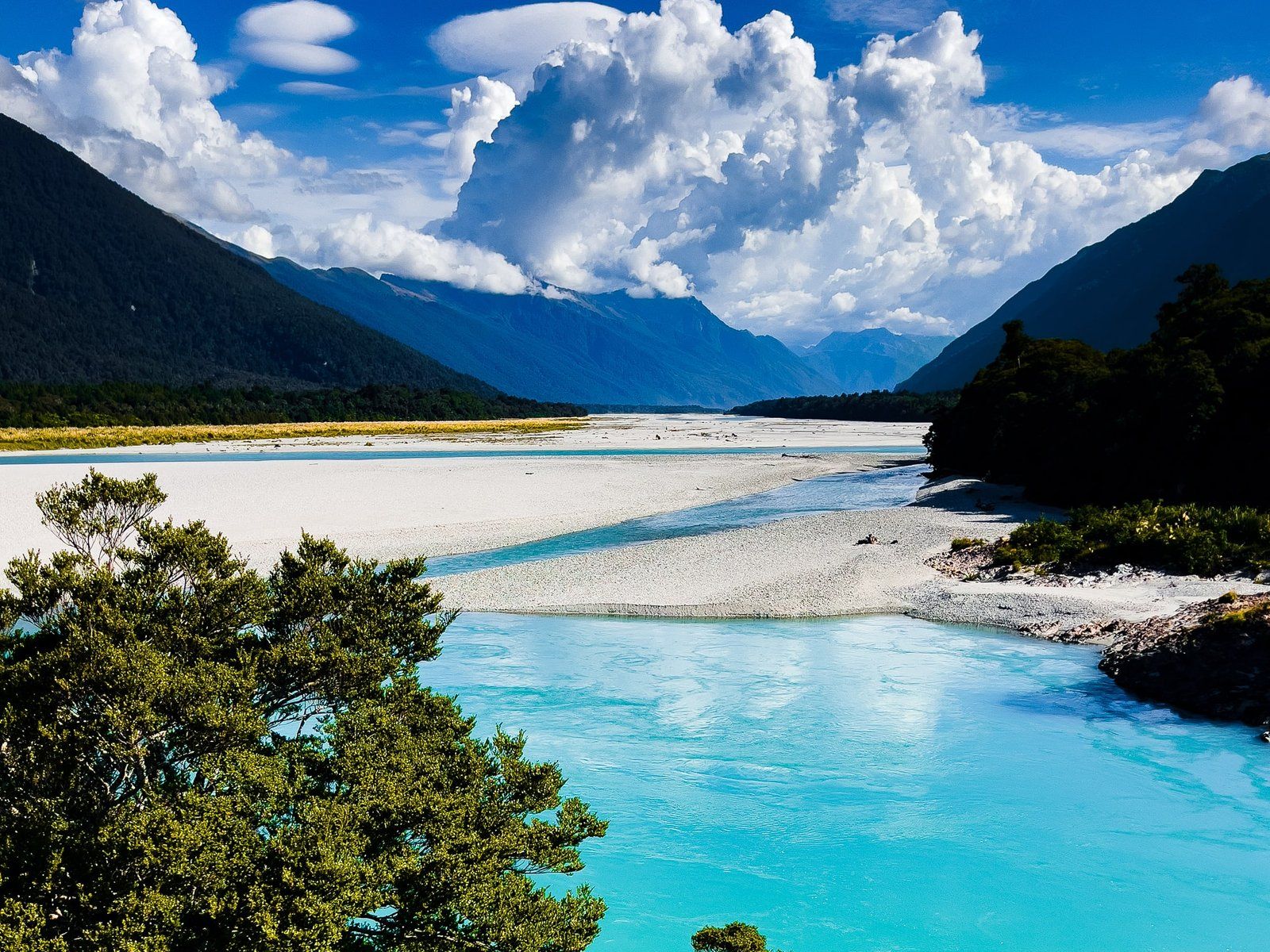
Located in the scenic South Westland region of the South Island, the Lake Ellery Track is a remote, but short and easy walk that takes you to the southern end of Lake Ellery. This track follows the edge of the lake's river outlet, which flows into the Jackson River. The area is enveloped by native rainforest, predominantly featuring old rimu and kahikatea trees adorned with lichen and moss. The river itself is a visual delight, with vibrant colours from reflections, river plants, and natural tree tannins.
Glacial Origins and Alpine Setting
Lake Ellery is a glacier-carved lake, formed by the former Arawhata Glacier. This glacial origin gives the lake its distinctive shape and setting within the surrounding mountains. The lake sits in a dramatic alpine environment characteristic of Westland’s glacial landscapes, creating a stunning backdrop for your walk.
Native Forest and Wildlife
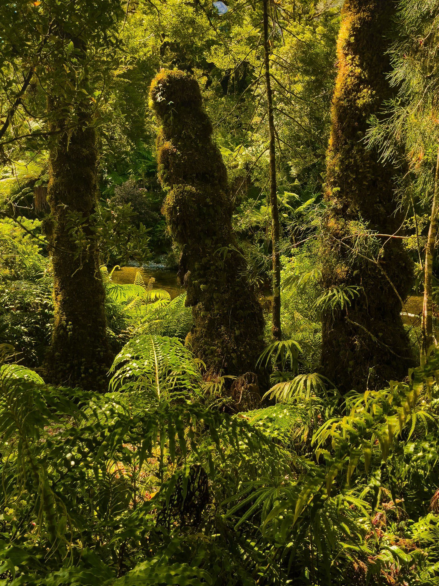
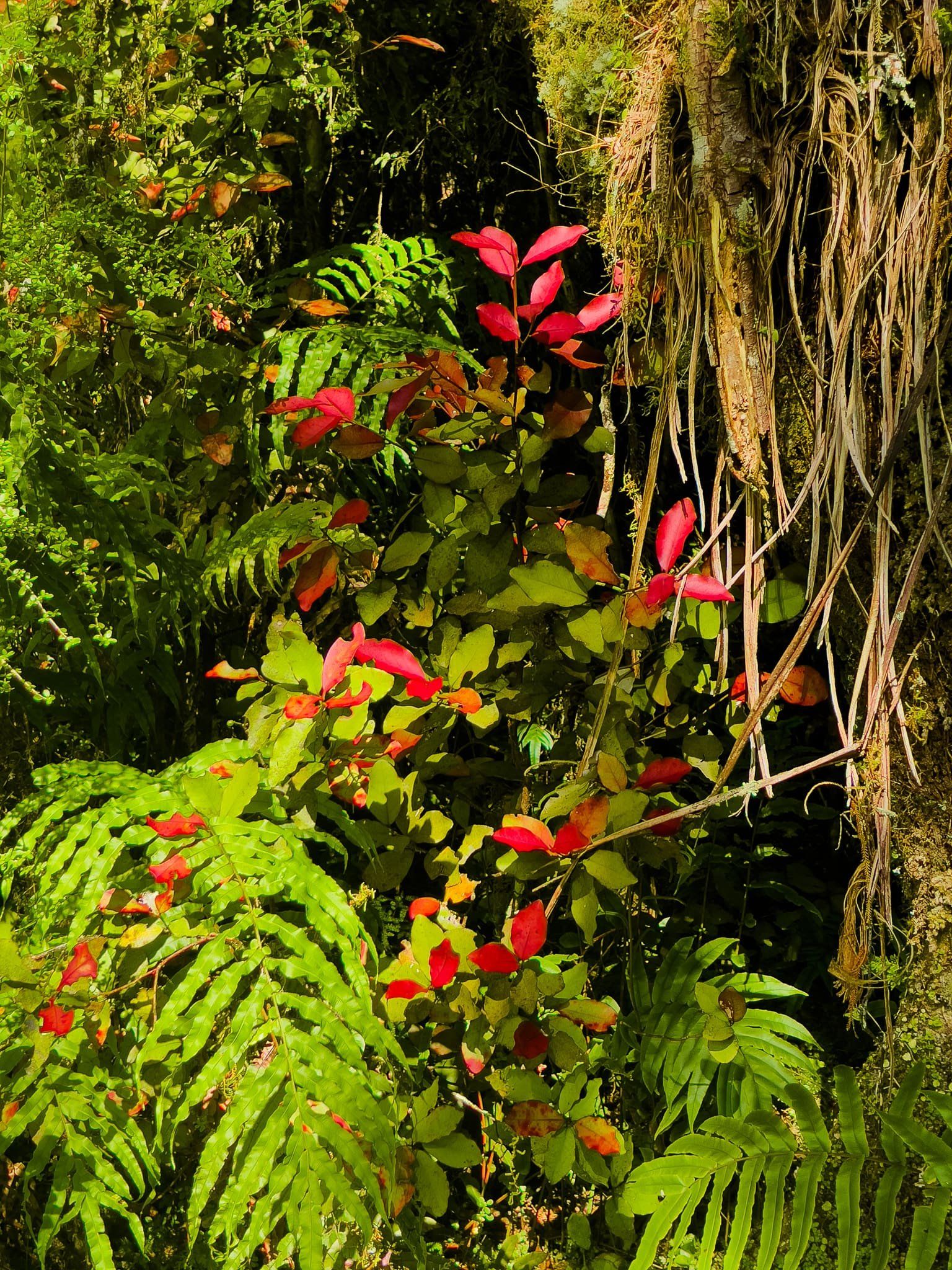
The track passes through beautiful native beech and podocarp forest, with silver beech being the dominant species at this altitude. The area is enveloped by native rainforest, predominantly featuring old rimu and kahikatea trees adorned with lichen and moss. Moss and ferns carpet the forest floor, creating a rich, green environment that provides a cool, shaded walk even on warm days. The river itself is a visual delight, with vibrant colours from reflections, river plants, and natural tree tannins.
The track leads you to a rocky outcrop at the lake's edge, offering a moderate drop to the water. While the lake is deep enough for diving, a safer option is to push through the harakeke (flax) to your right for easier access to the water's edge.
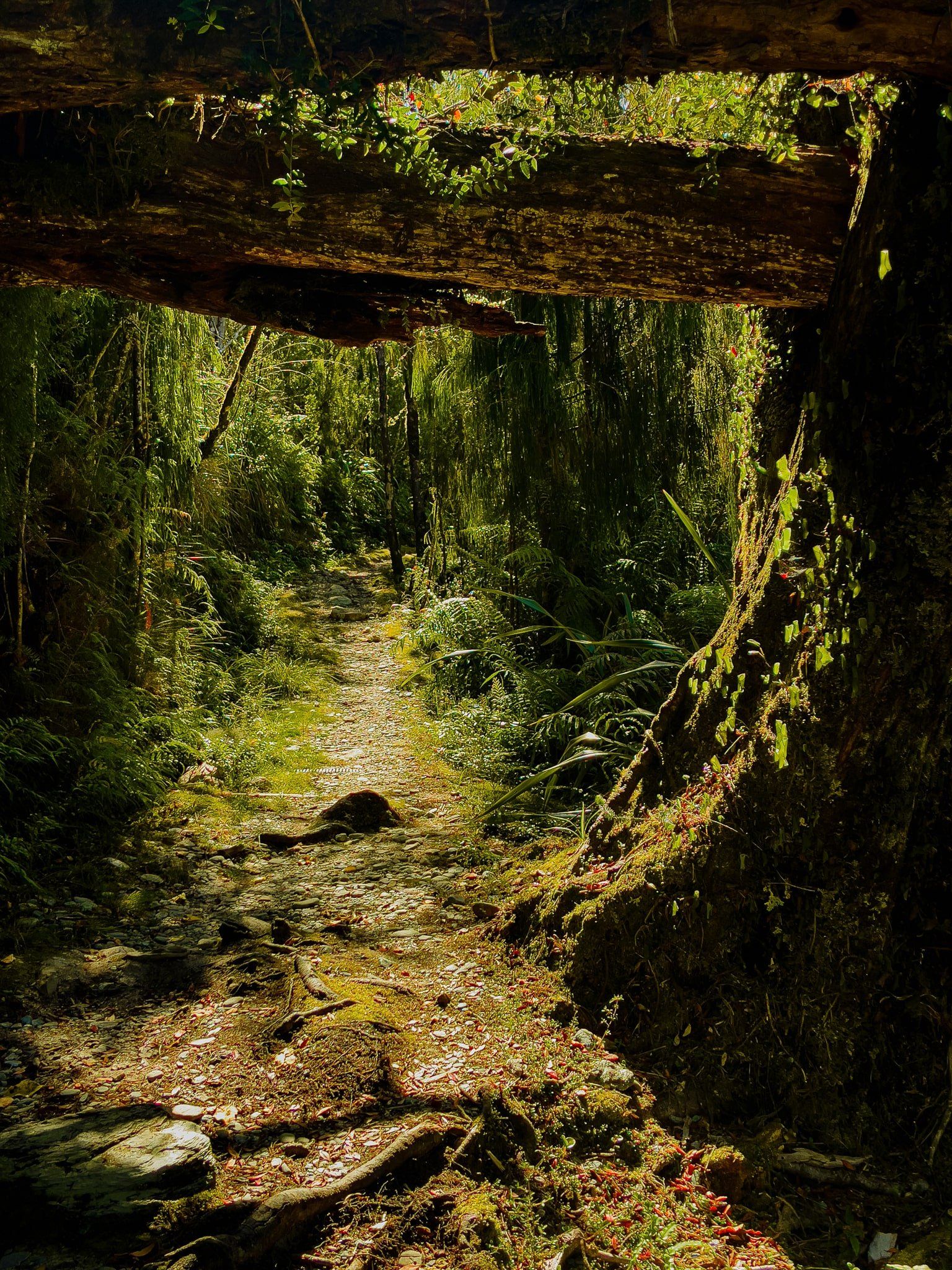
The Lake Ellery Track is a one-hour return walk.
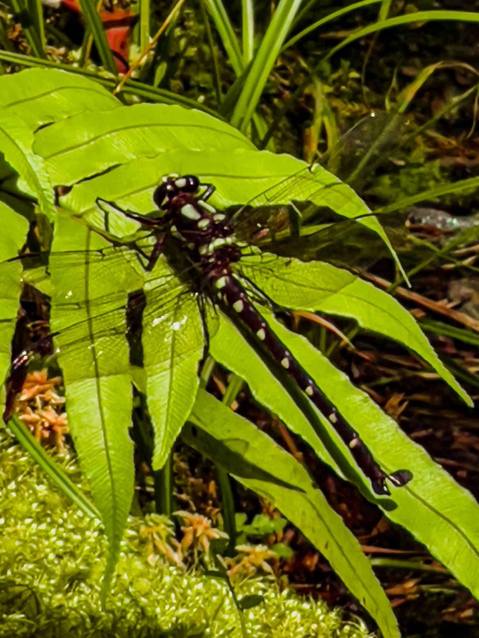
Giant Dragonflies and Native Birds
As you walk along the track, you might encounter giant forest dragonflies, known as kapokapowai, meaning "water snatcher." These territorial, colourful dragonflies have long, extendable jaws used to catch prey. They can be up to 10 cm long with a wingspan of up to 13 cm. If you spot one, stand still and it may land nearby, waiting patiently while you take photos.
The area is also home to native forest birds, so listen for the melodious calls of tūī and bellbirds, and watch for the acrobatic fantails and tomtits flitting through the undergrowth.
How to get there
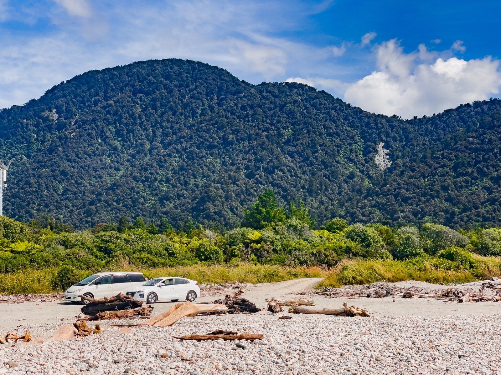
To access the track, drive approximately three kilometres along the gravel Jackson River Road from Haast Jackson Bay Road, immediately after crossing the Arawhata River bridge. This road also provides access to the Jackson River. From Haast, the drive is 39 minutes and 42 km to the southwest.
Nearby, you can visit Neils Beach and the town of Jackson Bay with the short Wharekai - Te Kou Walk. On the way, stop at Okuru River and Hapuka Estuary and the bridge over the Arawhata River.