Discover Lake Rotoiti in Nelson Lakes
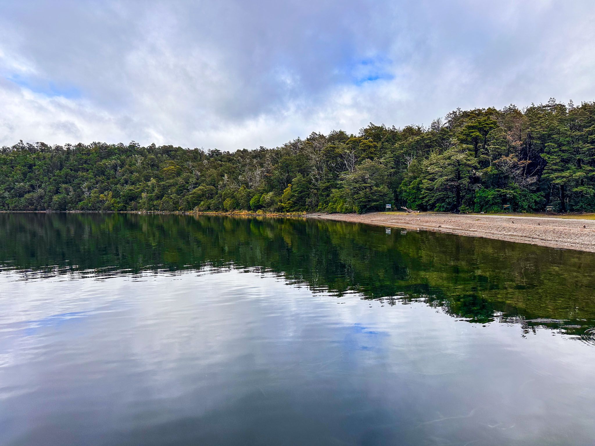
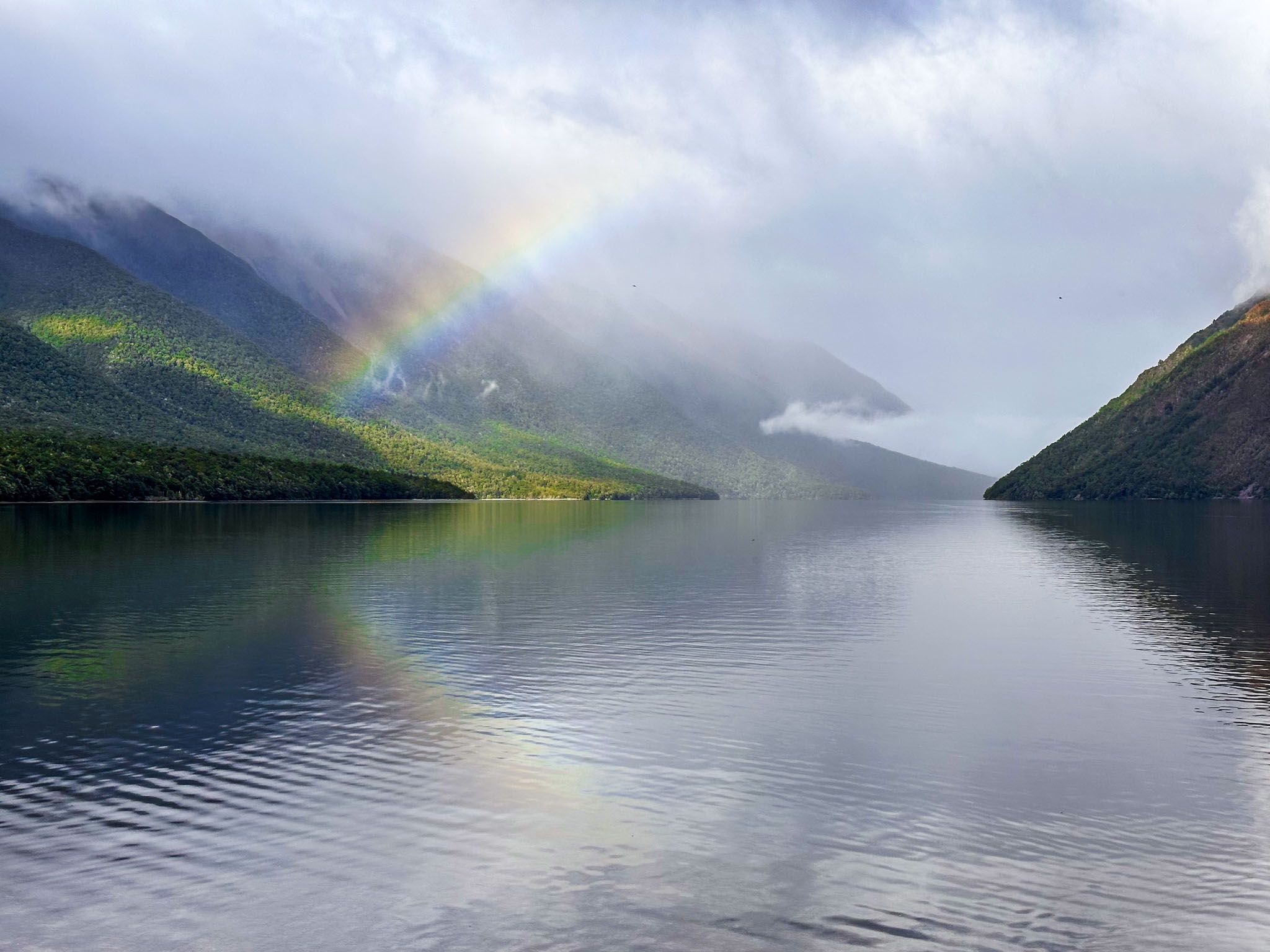
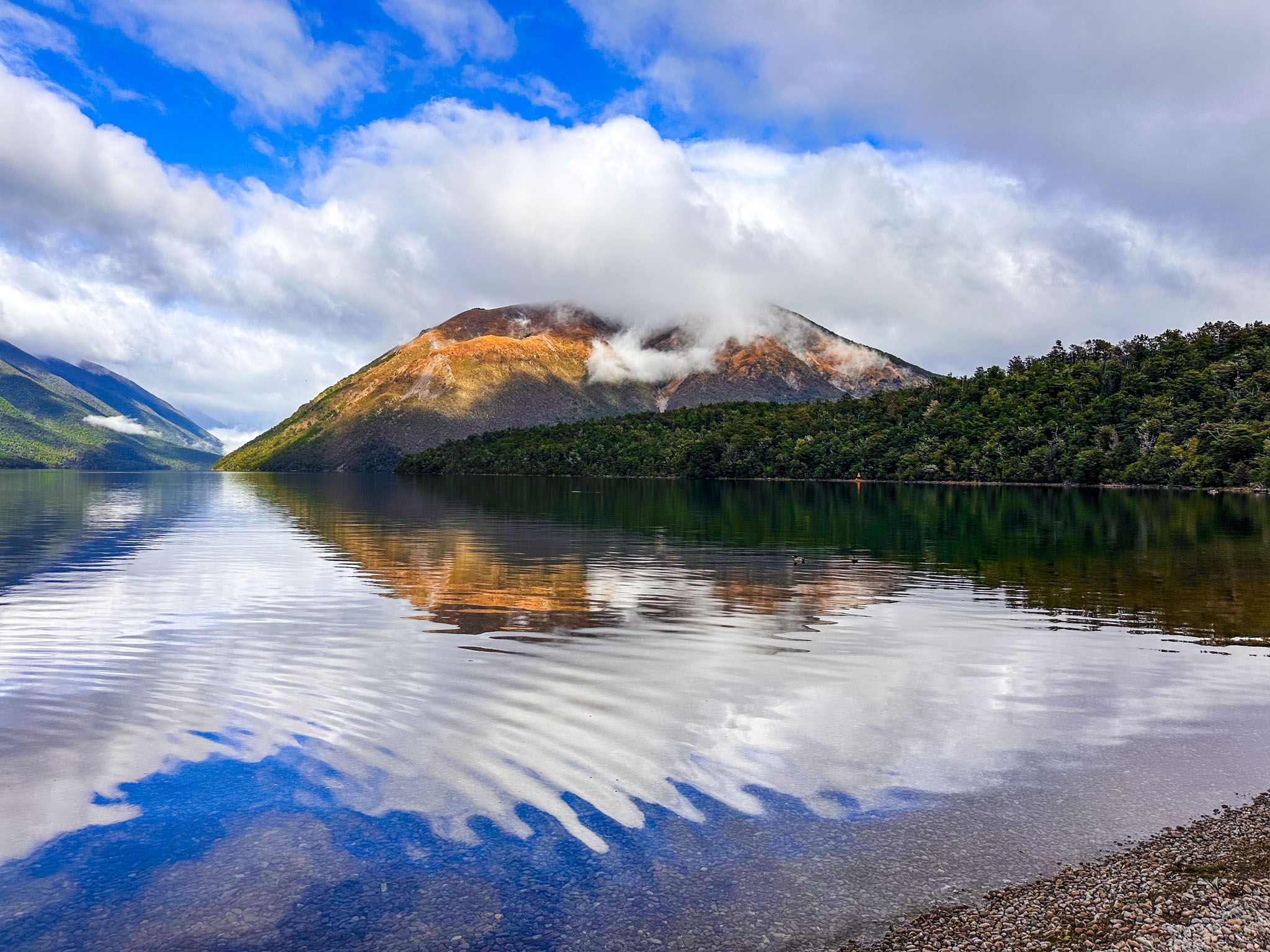
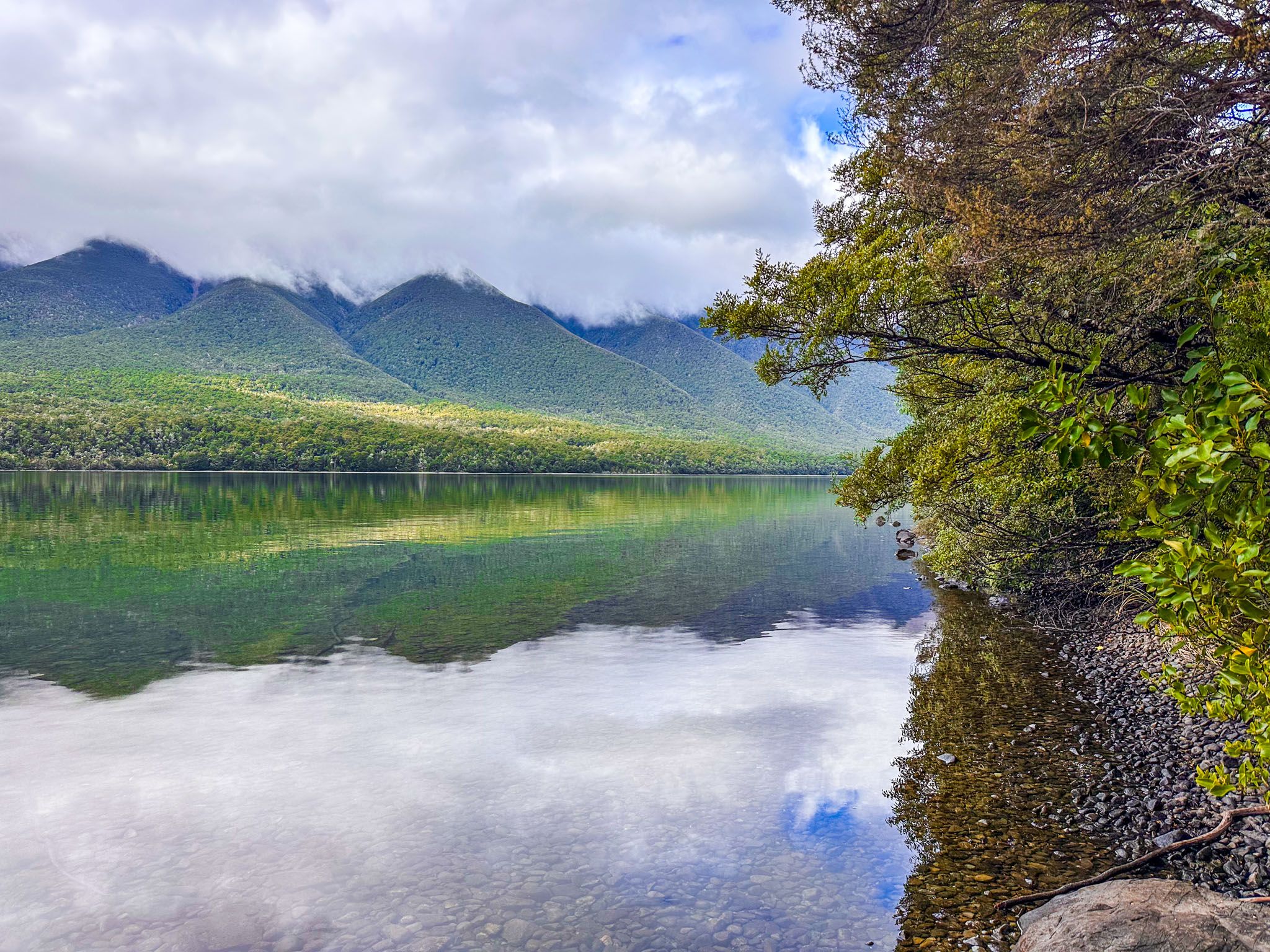
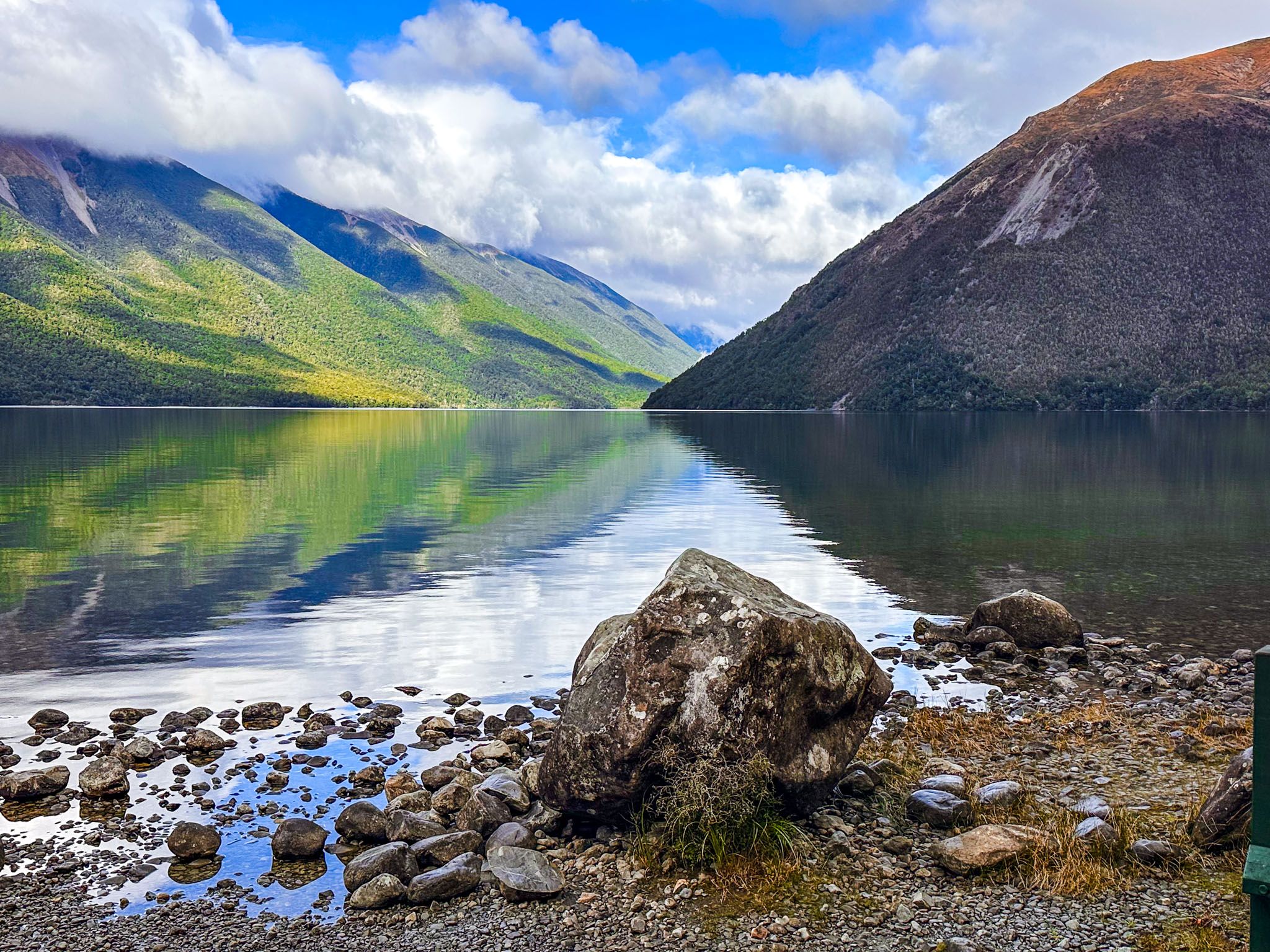
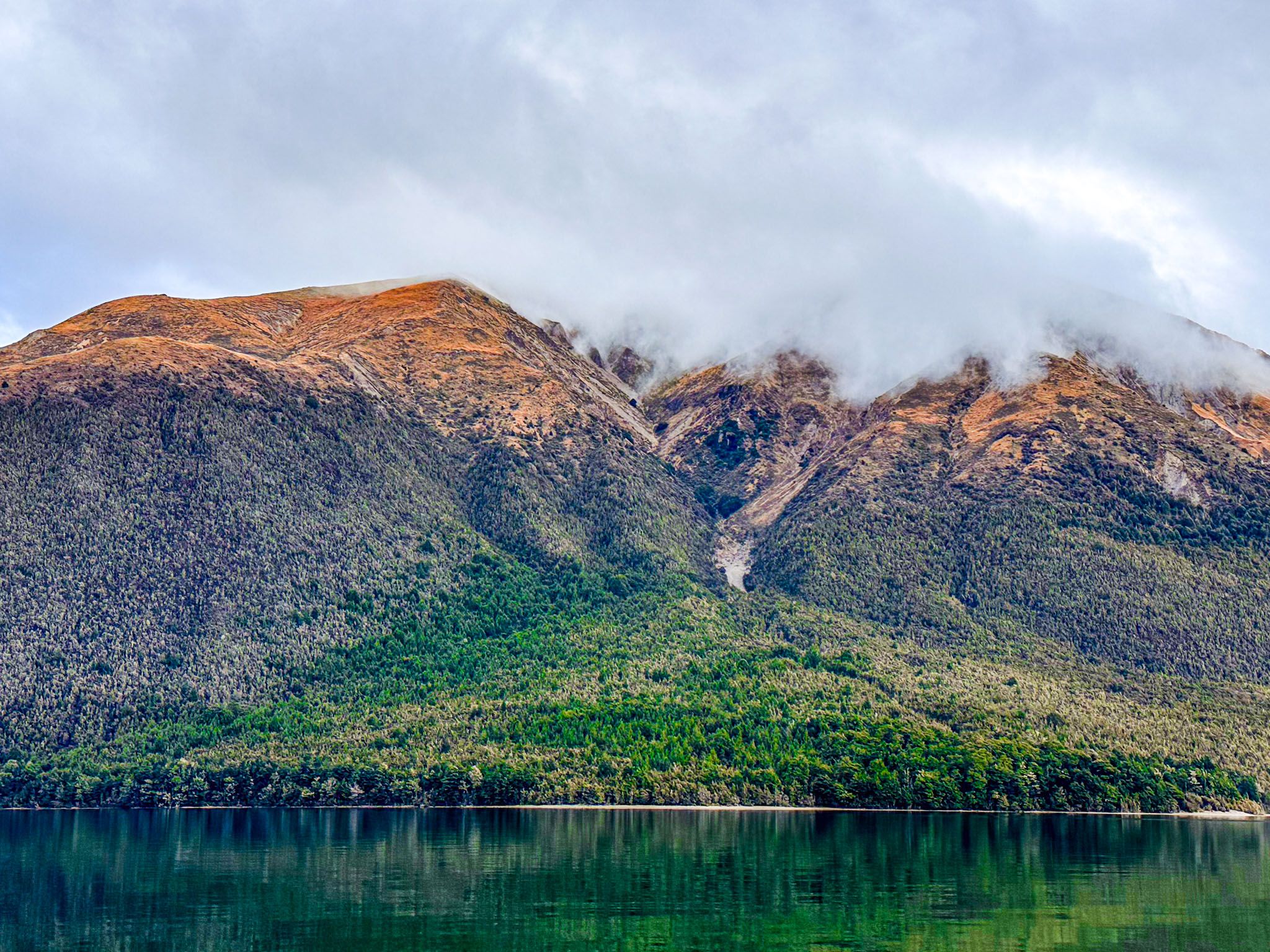
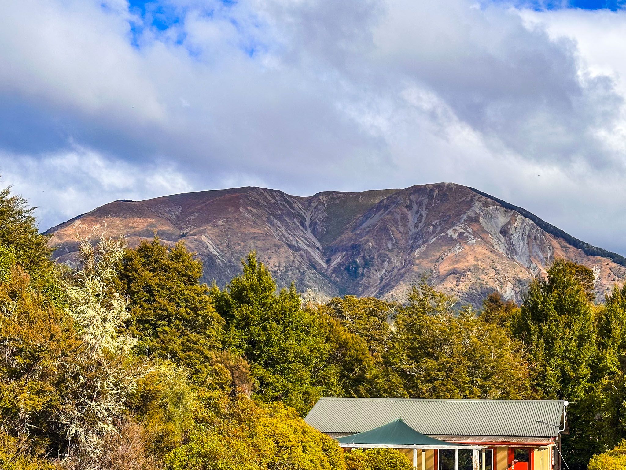
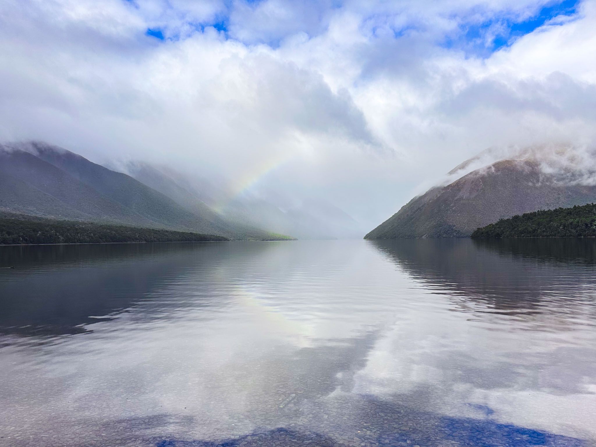
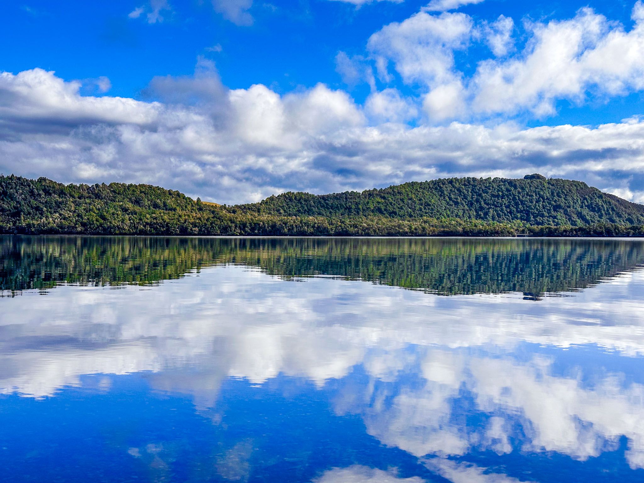
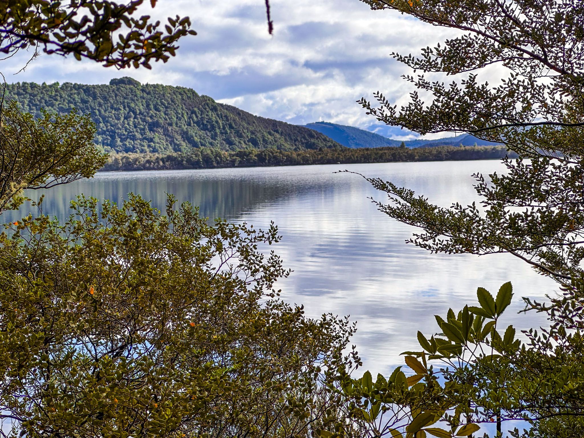
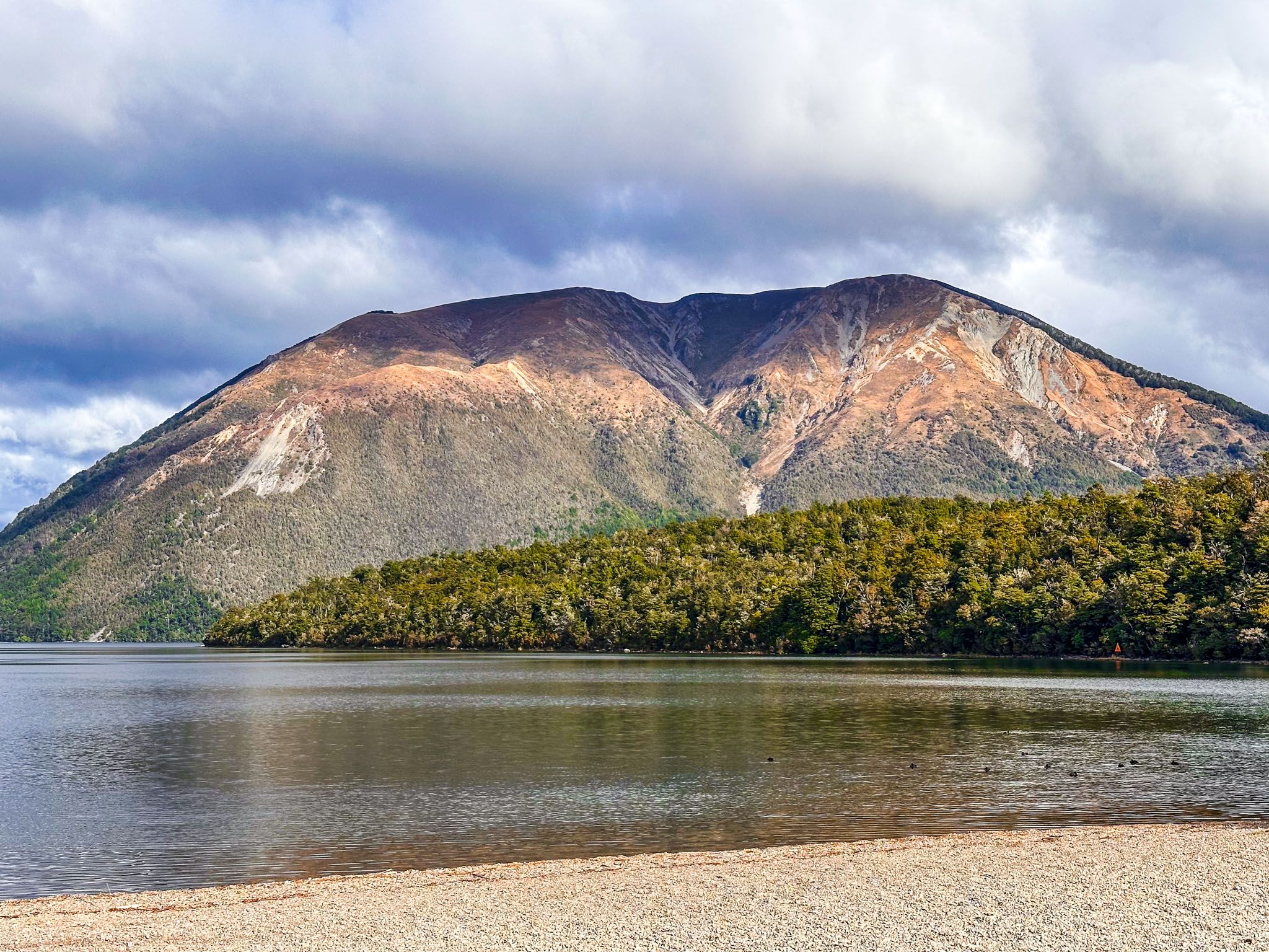
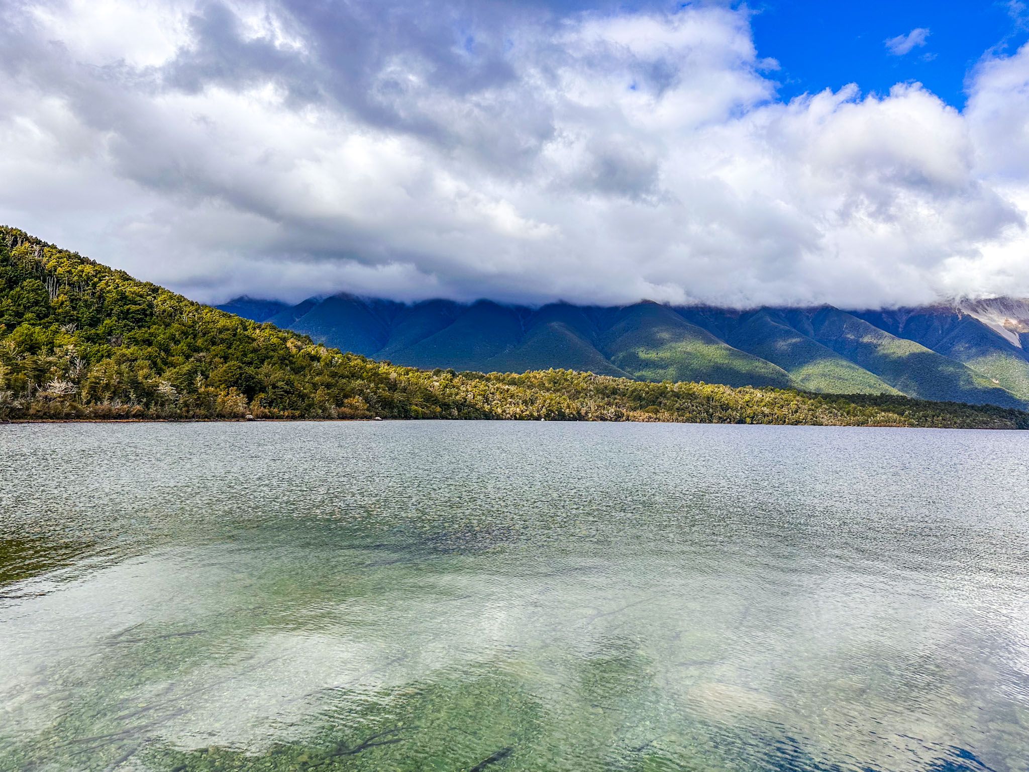
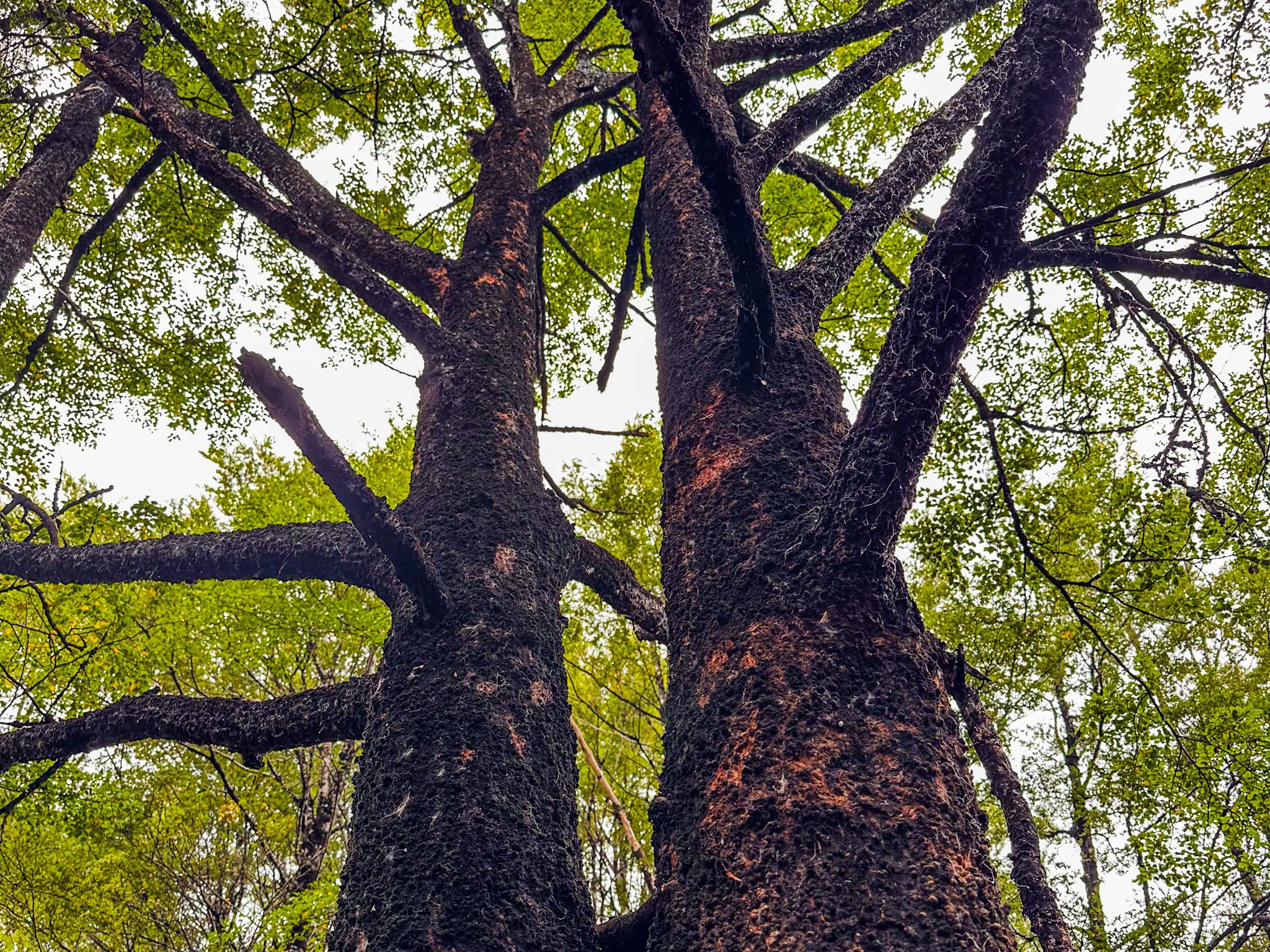
Lake Rotoiti, situated 620 metres above sea level in Nelson Lakes National Park, is a captivating mountain lake formed by the Travers Glacier between 20,000 and 12,000 years ago. This 82-metre-deep lake is fed by the Travers River from the south and drains into the Buller River at its northern end in West Bay. The lake is framed by Pourangahau / Mount Robert and the Travers Range to the west, and the St Arnaud Range to the east. Surrounded by dense beech forests, Lake Rotoiti is a popular destination for hiking and water-based activities. The small community of Saint Arnaud is located at the lake's northern end, near the southern tip of the Richmond Range.
Geological and Historical Significance
The landscape around Lake Rotoiti has been significantly shaped by erosion. While glacial activity initially carved out the lake, ongoing erosion of the surrounding mountains has led to sediment accumulation. The mountains will continue to erode, eventually filling the lake.
Rotoiti translates to "little lake." The first European to sight the lake was John Sylvanus Cotterell in 1842, during a survey for the New Zealand Company. Cotterell was subsequently one of the victims killed in the Wairau Affray in 1843.
The lake was briefly named Lake Arthur by Thomas Brunner and Charles Heaphy in honour of Captain Arthur Wakefield, another victim of the Wairau Affray. However, the Māori name persisted and is now the official name. During early European settlement, the lake was part of Lake Station, owned by Scottish immigrant John Kerr, who introduced trout to its waters.

Exploring the Lake and Surrounding Area
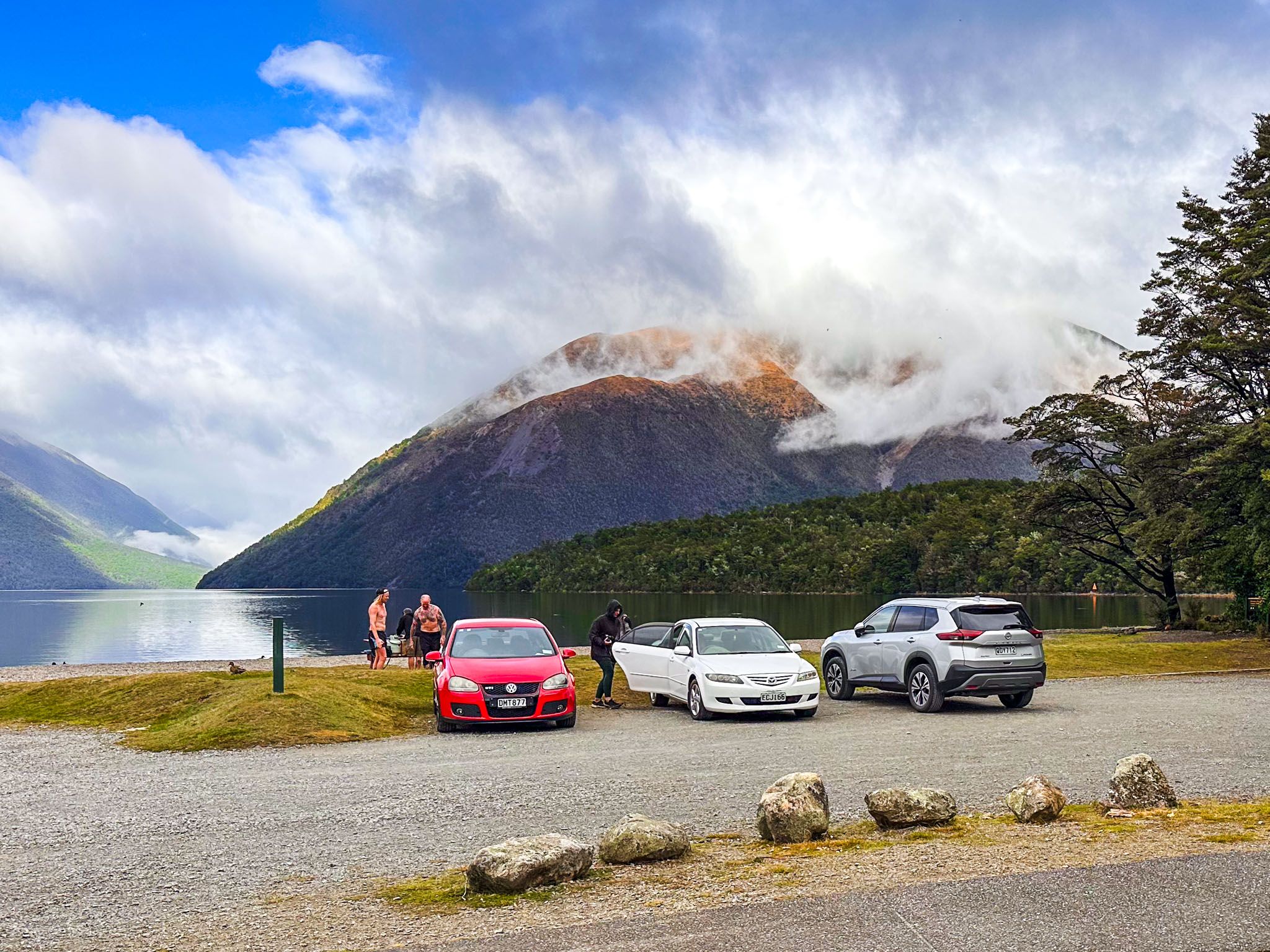
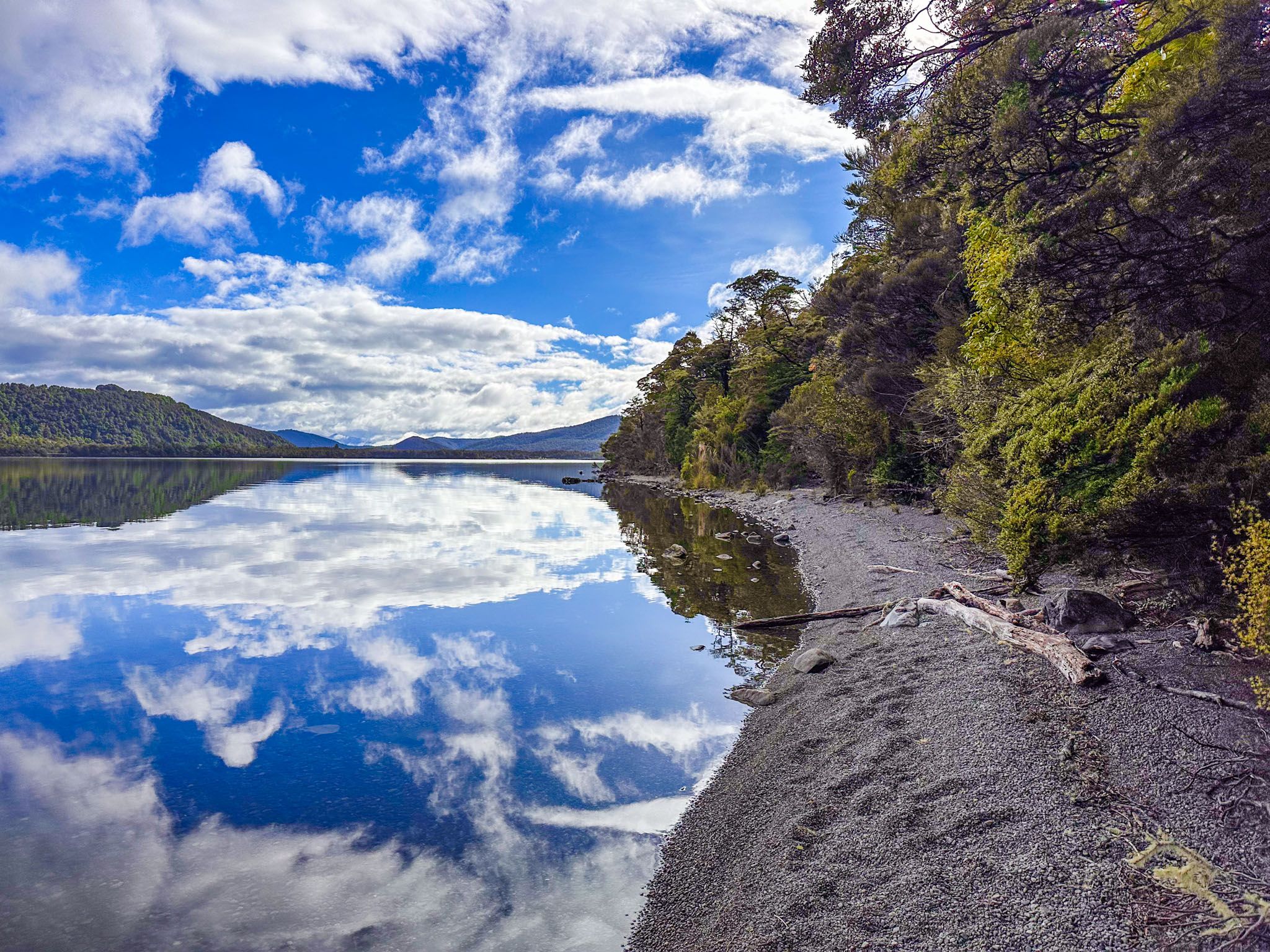
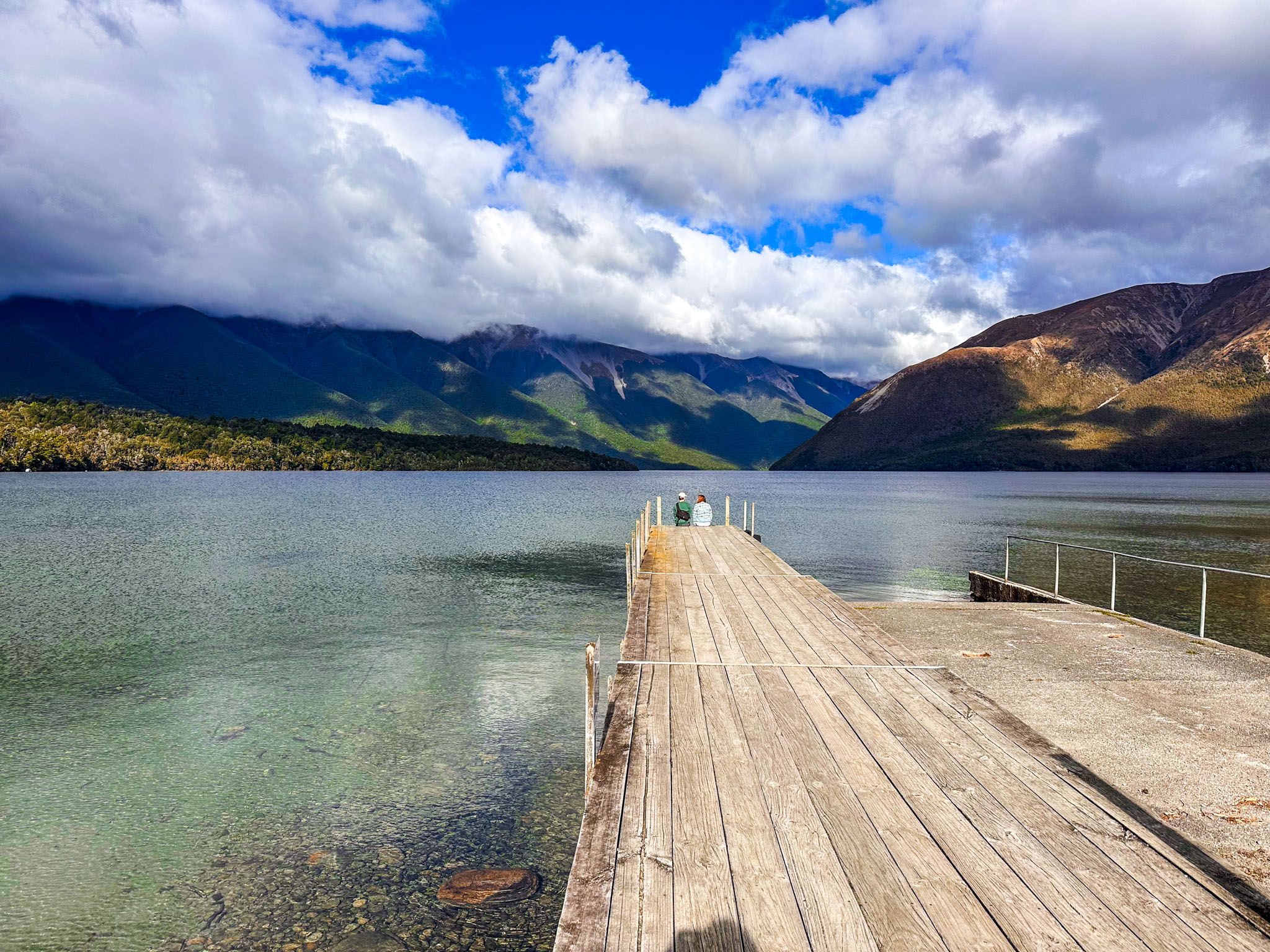
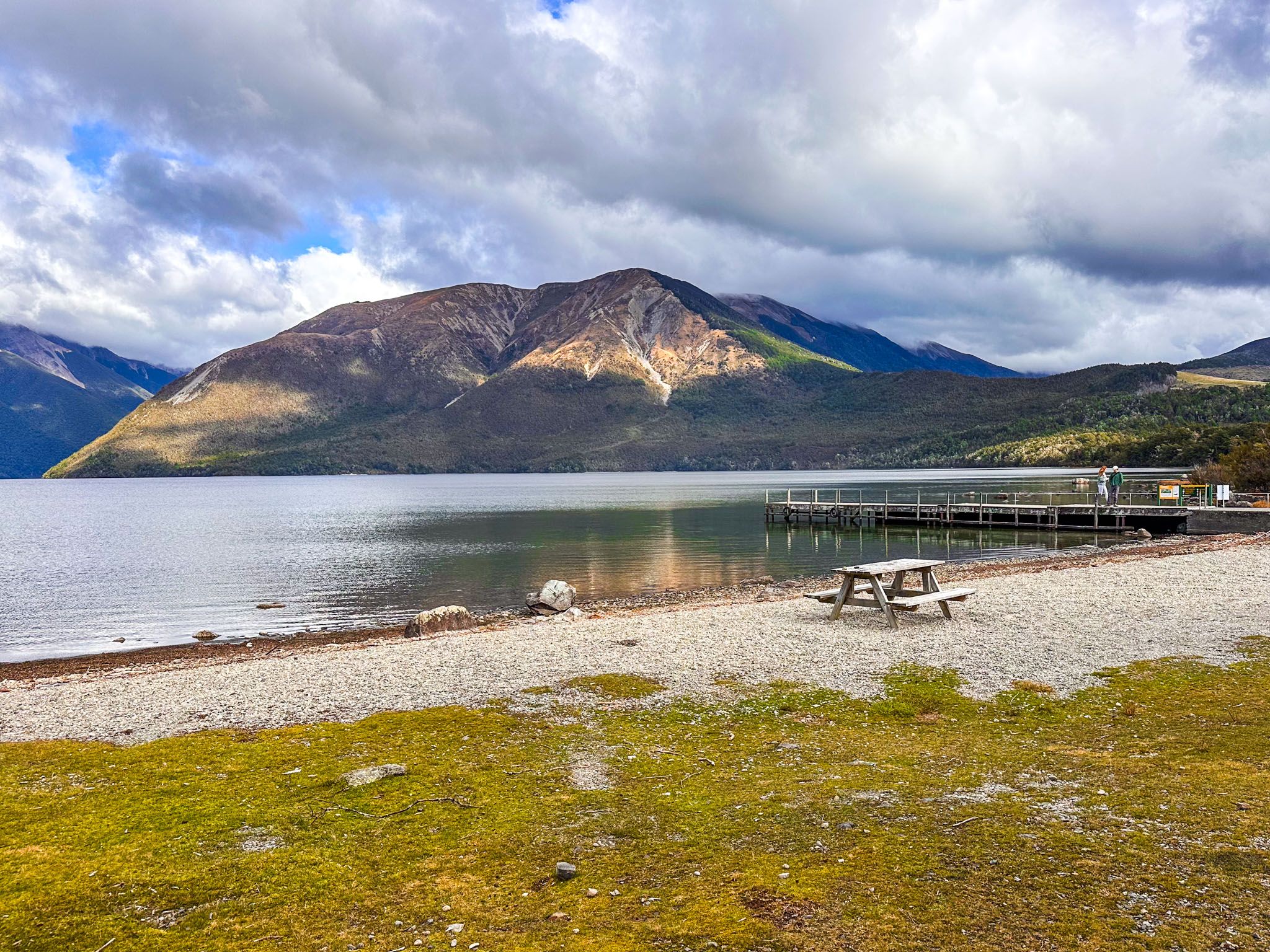
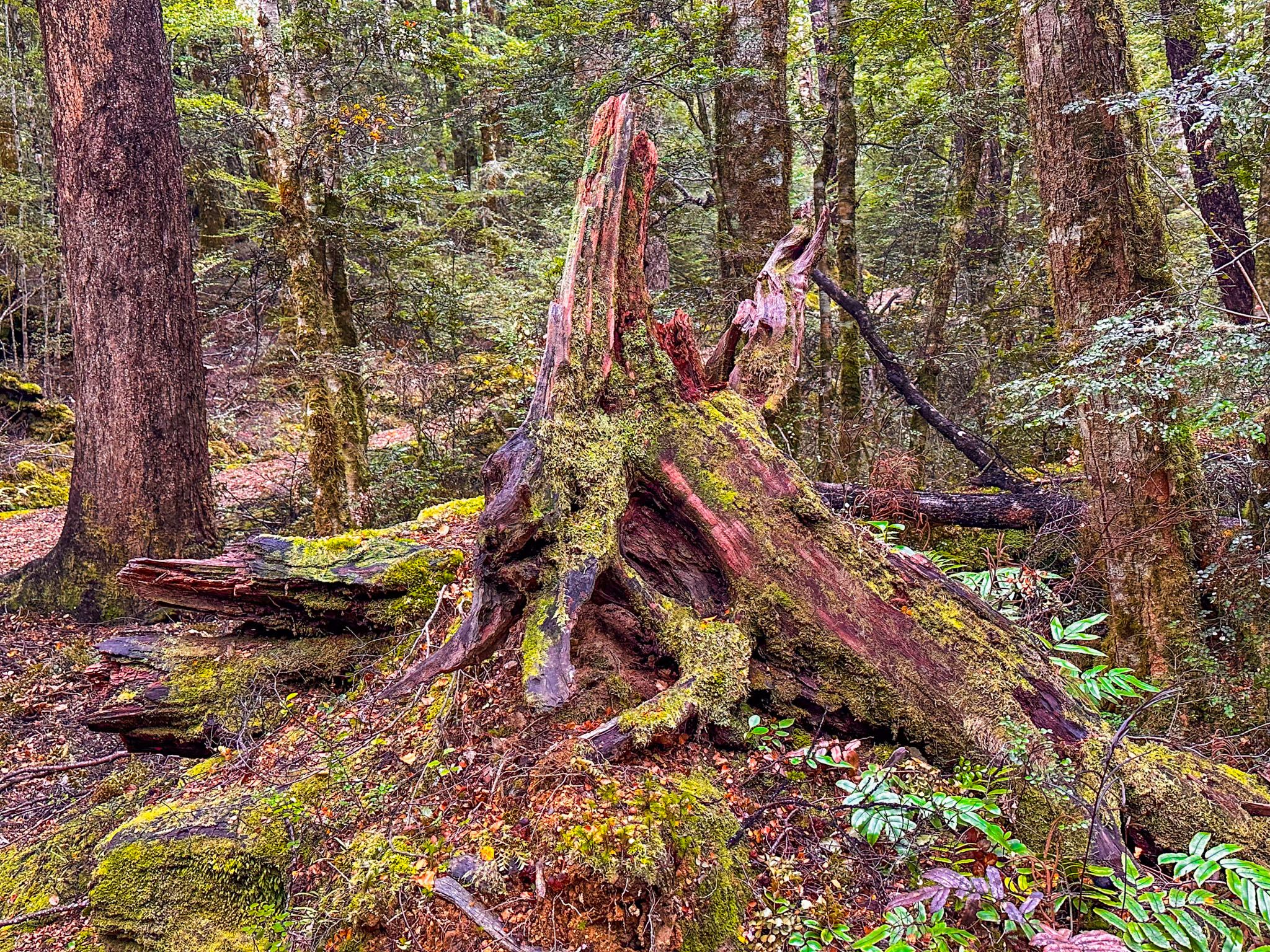
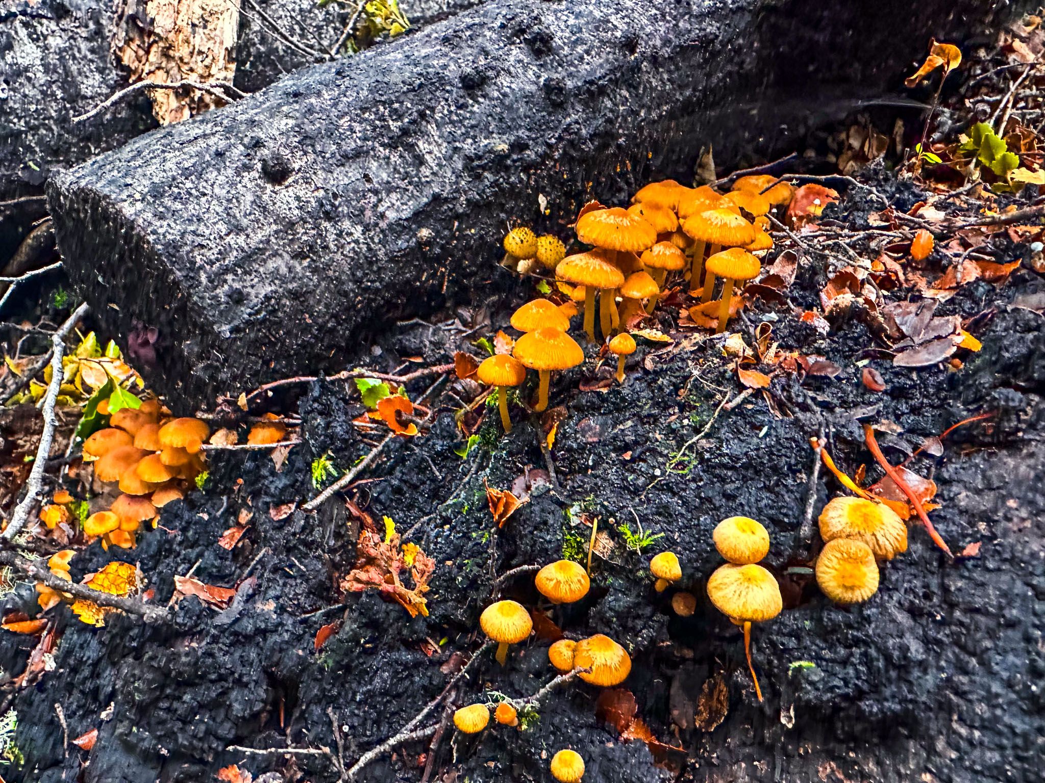
Lake Rotoiti has two main access points, each with campsites. Kerr Bay, located south of St Arnaud, features a large reserve and is a short walk from the Department of Conservation Visitor Centre. The Kerr Bay Campsite is situated at the bay's east end. West Bay, larger than Kerr Bay, is home to the Jetty campsite and Buller campsite and lies west of the town and Kerr Bay. The Brunner Peninsula, between the bays, is covered in regenerating beech forest.
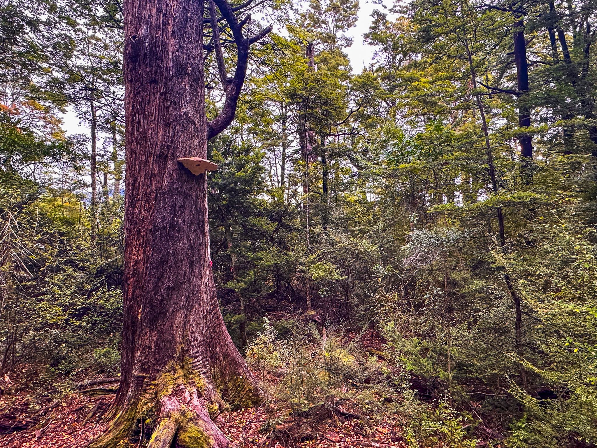
Several easy walking tracks are available, including the Brunner Peninsula Nature Walk and the Honeydew Walk. Kerr Bay offers the best beech forest experience, while West Bay is characterised by younger mānuka and kānuka growth.
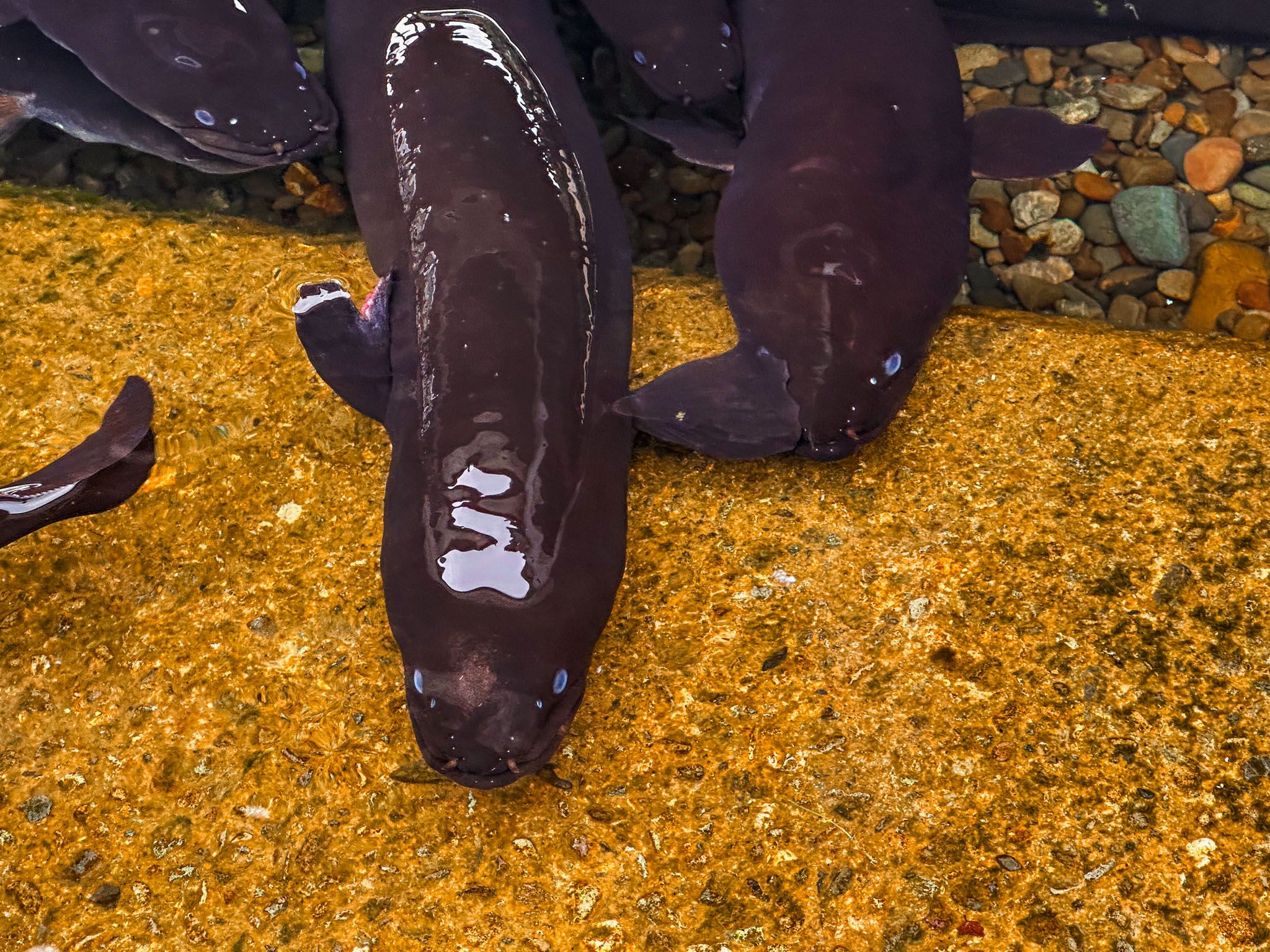
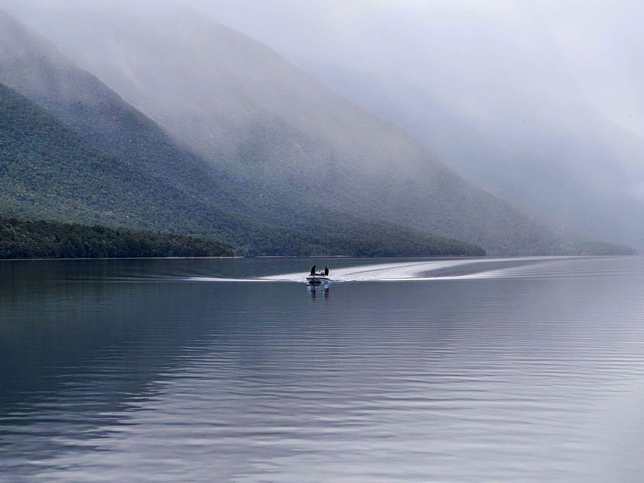
A water taxi service can transport hikers to trailheads at the lake's southern end. Jetties are present in both bays, and a family of large eels inhabits the jetty at Kerr Bay. These eels are harmless, so feel free to swim or jump from the jetty.
Lake Access
To reach Kerr Bay on Lake Rotoiti, take Kerr Bay Road from State Highway 63. For access to West Bay, use Mount Robert Road, located a short distance northwest along State Highway 63.
How to Get There
From Blenheim, follow State Highway 63 along the Wairau Valley southwest to St Arnaud. The drive is 80 minutes and 103 km. From Nelson, the drive is 70 minutes and 81 km, via State Highway 6, to Wai-iti Valley Road, Stock Road, Kerr Hill Road and Tophouse Road.
Nearby, you can also visit the Classic Car Museum and the Pourangahau / Mt Robert Viewpoint. To the southwest, you can also discover Lake Rotoroa, the second of the large lakes in the national park.