Saint Arnaud: Gateway to Nelson Lakes National Park
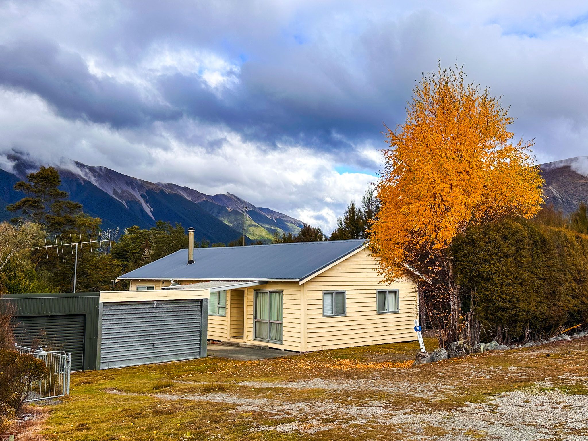
Saint Arnaud is located at the northern end of Lake Rotoiti, 640 metres above sea level, on the edge of Nelson Lakes National Park in the South Island. This small town serves as the gateway to the national park, making it an ideal destination for outdoor recreation. You'll find cafés, a DOC visitor centre, a grocery shop, various accommodation options, and water taxi services.
Exploring Nelson Lakes National Park
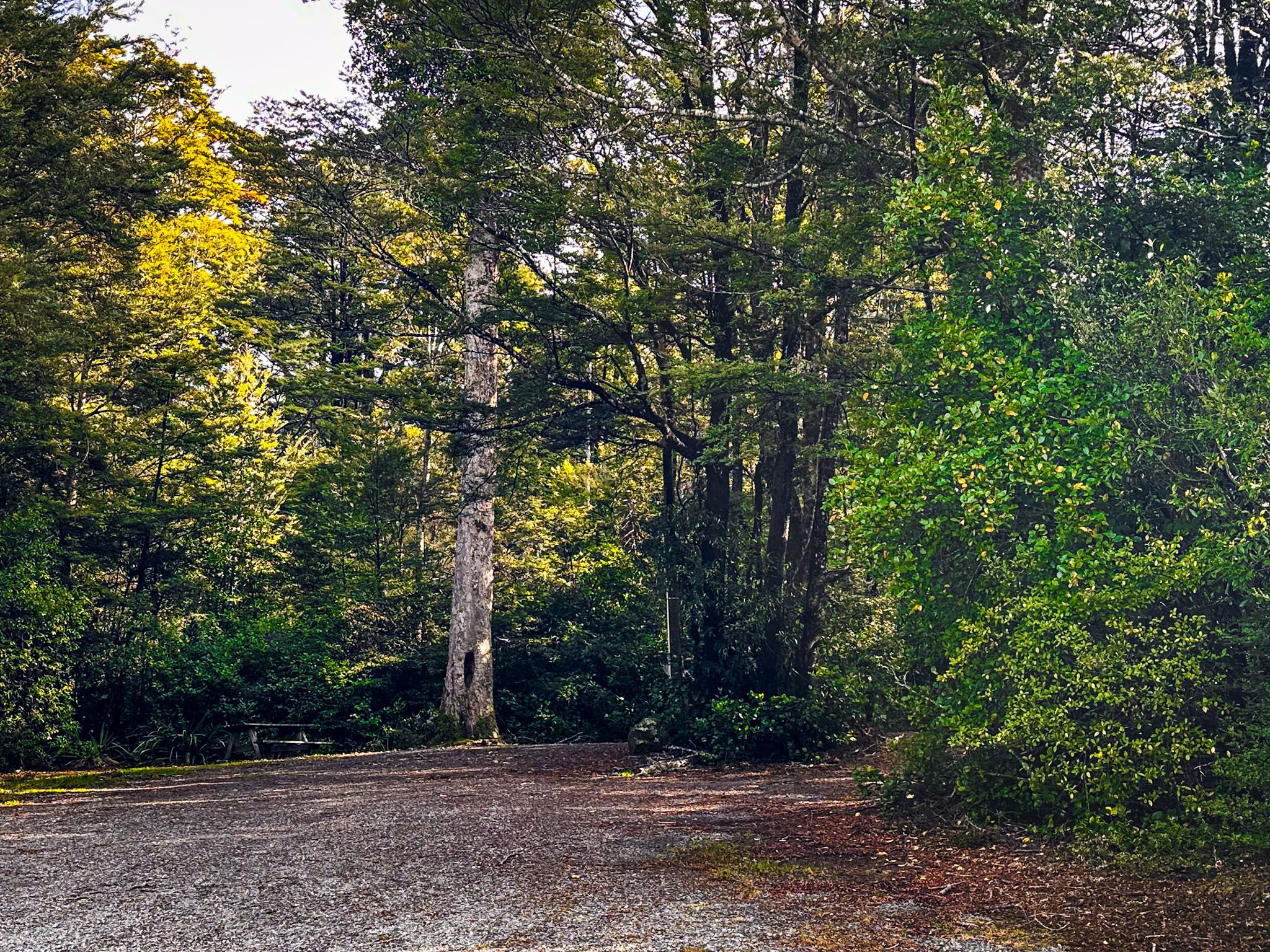
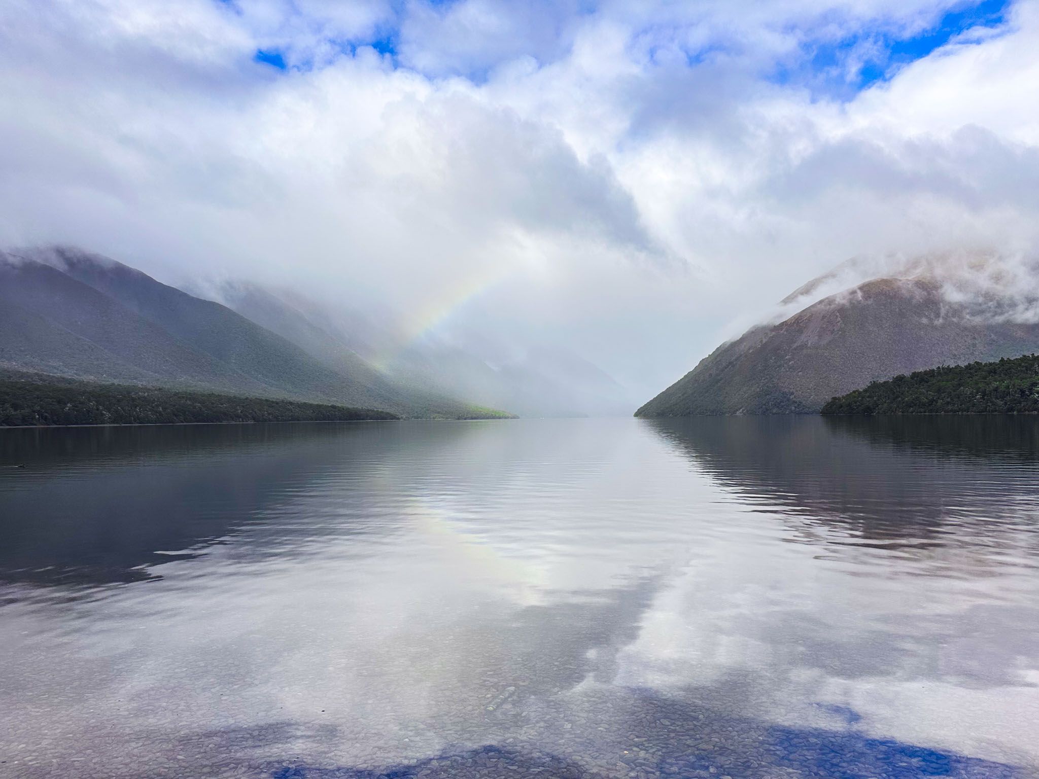
Nelson Lakes National Park spans over 100,000 hectares at the northern end of the Southern Alps. It features mountain ranges, Lake Rotoiti and Lake Rotoroa, beech forests, and a vast network of tracks and huts. European settlers began arriving in the 1840s, clearing the forest and establishing farms in the valley and lowlands. By the early 1900s, the area had become a popular tourist destination, ultimately leading to the establishment of the national park in 1956.
Visitor Information and Local Legends
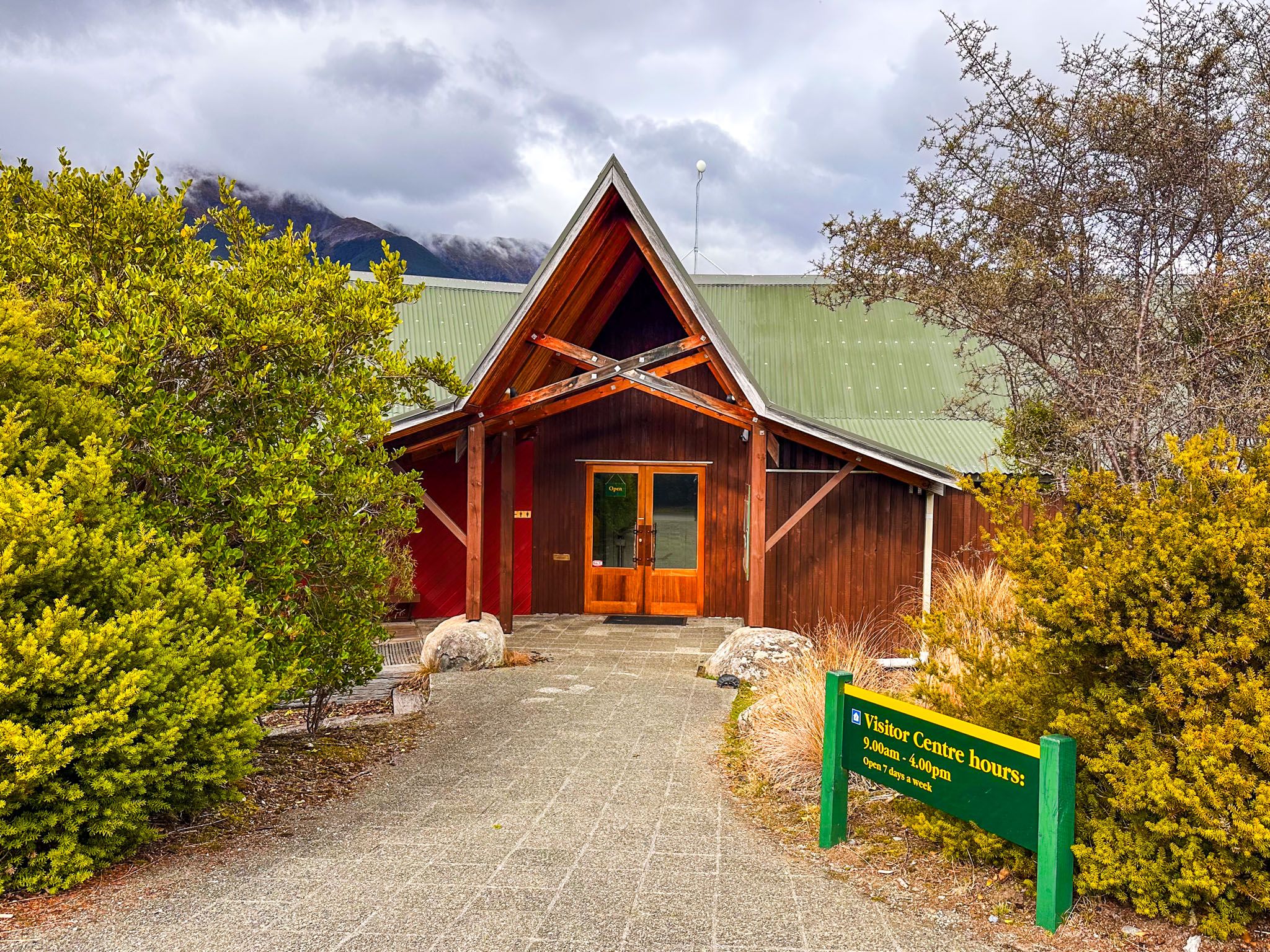
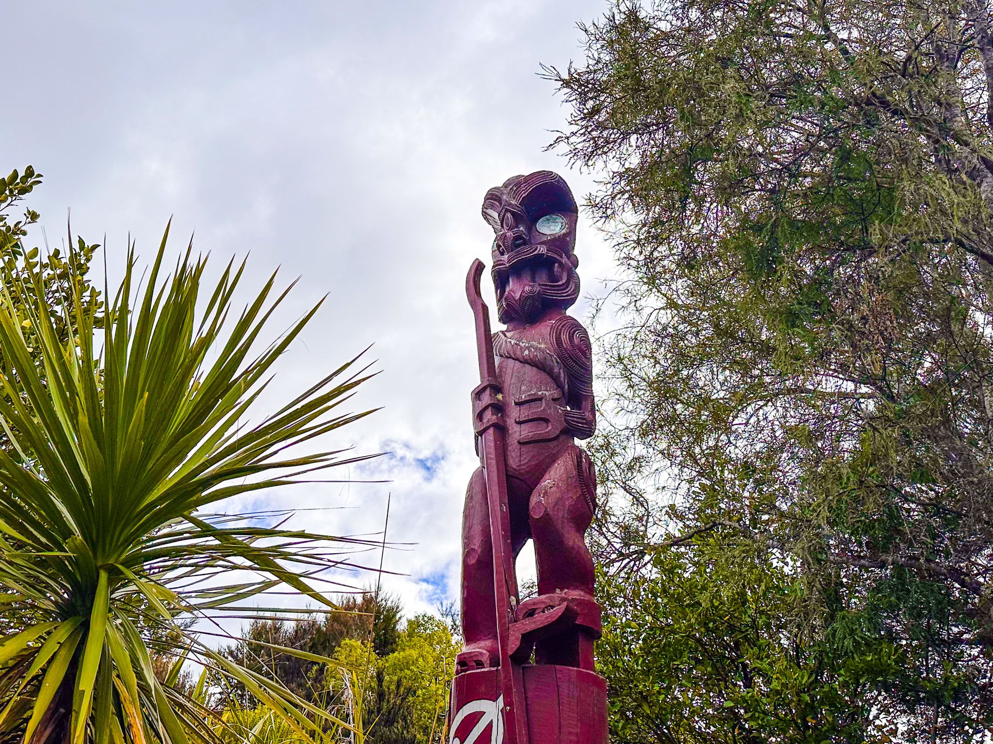
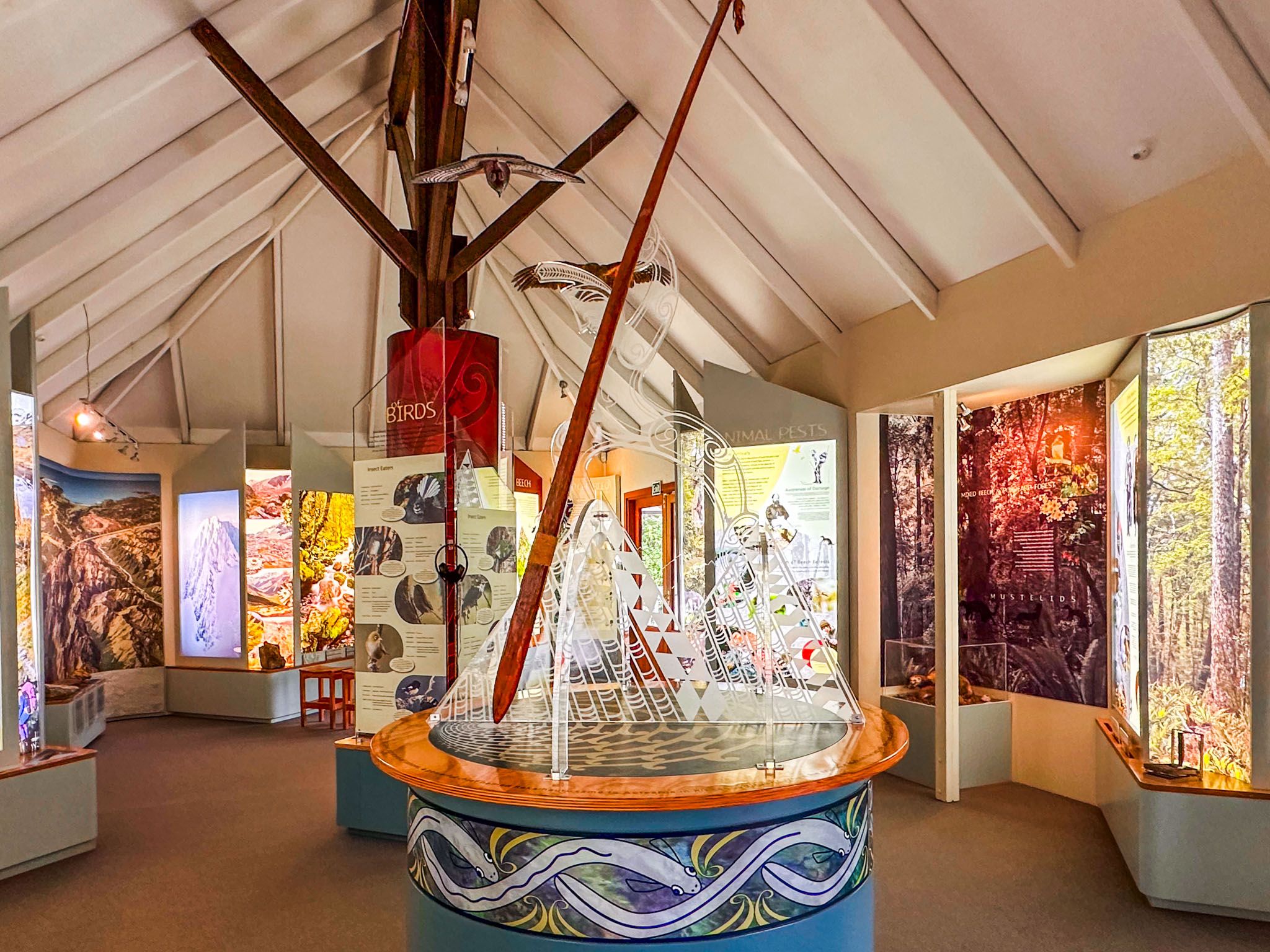
The Department of Conservation (DOC) Visitor Centre is located near Kerr Bay on Lake Rotoiti, at the south corner of Kerr Bay Road and View Road. The centre provides extensive information about the park's wildlife and environment, as well as the legend of Rākaihautū, who is said to have created the Nelson Lakes and other major glacial lakes of the South Island with his kō (digging stick).
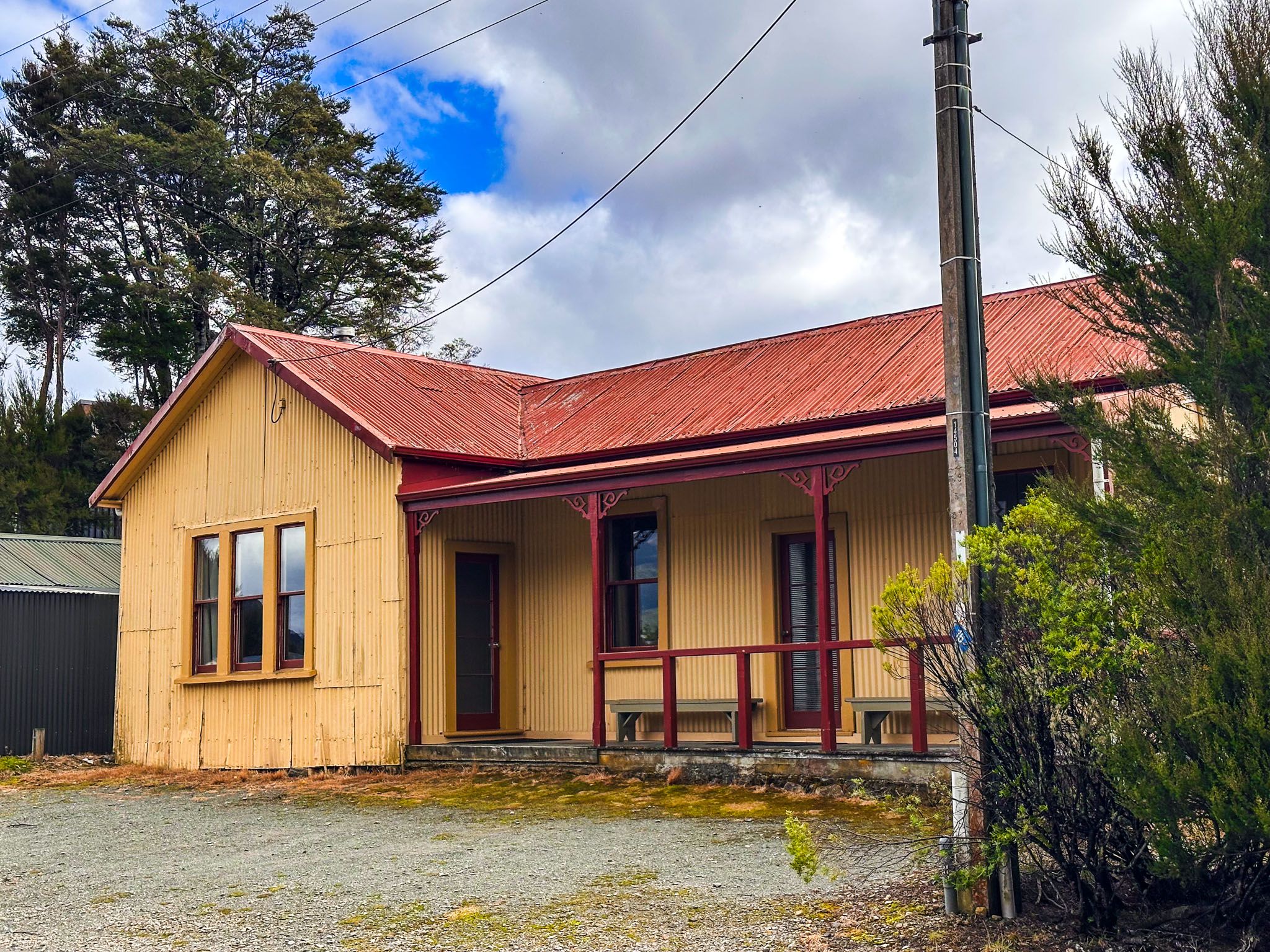
The centre also offers advice on local trails and more challenging multi-day hikes, such as the 80 km Travers-Sabine Circuit. Nearby, there is a historic building, one of the oldest in the region, and a monument dedicated to those who lost their lives while tramping in the region.
Outdoor Activities and Events
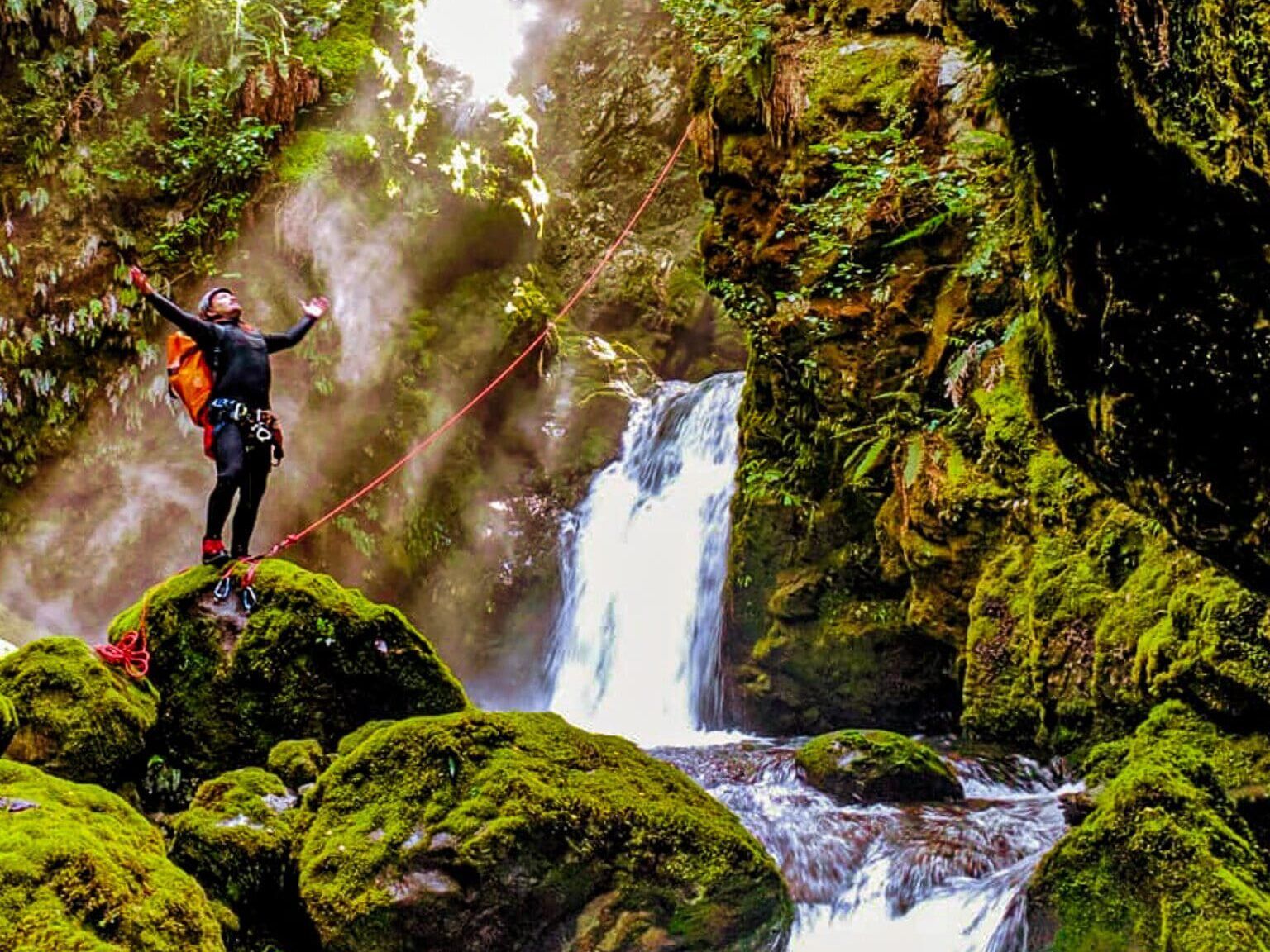
Several easy walking tracks connect Saint Arnaud to the beech forests and the lake. Lakeside campsites are available at Kerr Bay and West Bay, accessible via the road to Pourangahau / Mt Robert on the lake's west side. Popular activities include boating, water skiing, swimming, and kayaking.
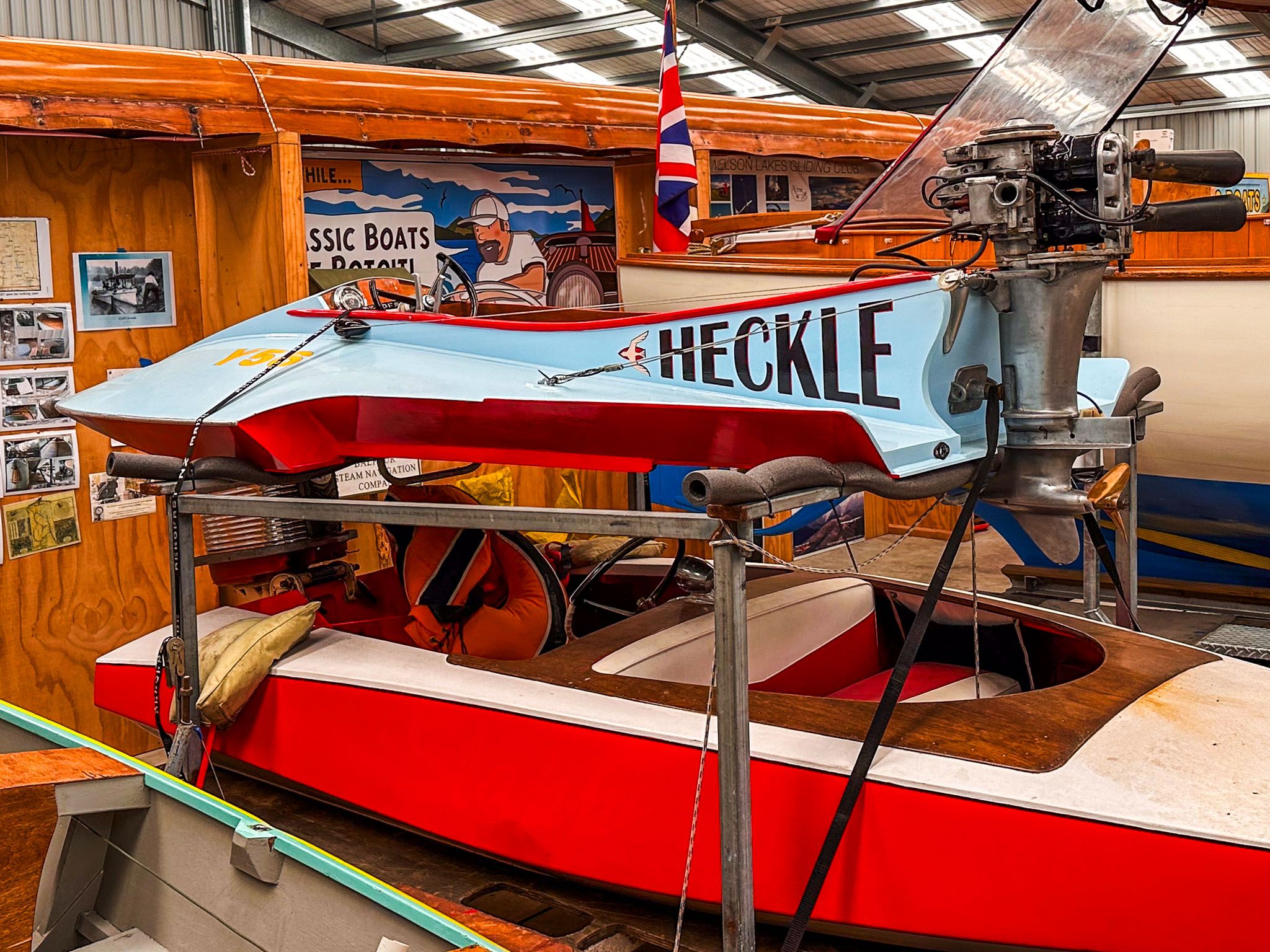
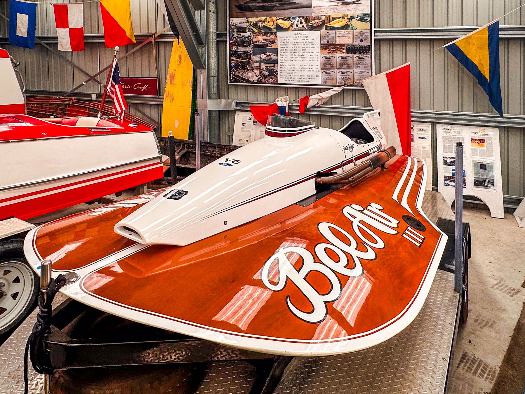
The New Zealand Antique and Classic Boat Show is an annual event showcasing a variety of vintage power boats, many of which are also on display at the Classic Boat Museum.
Historical Background and Surrounding Ranges
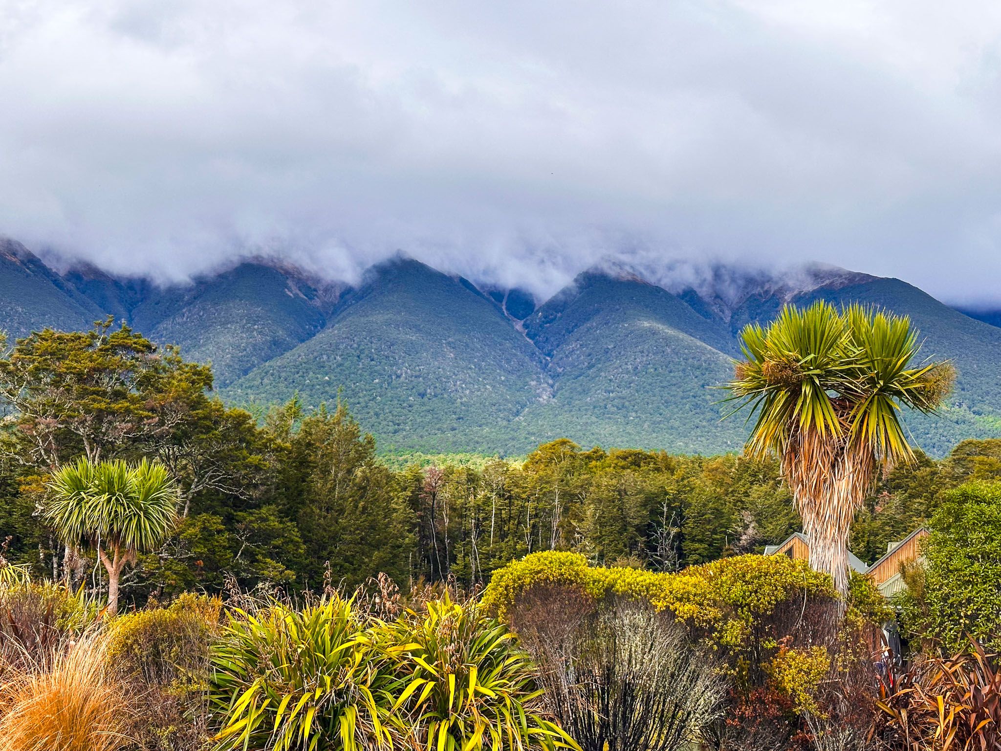
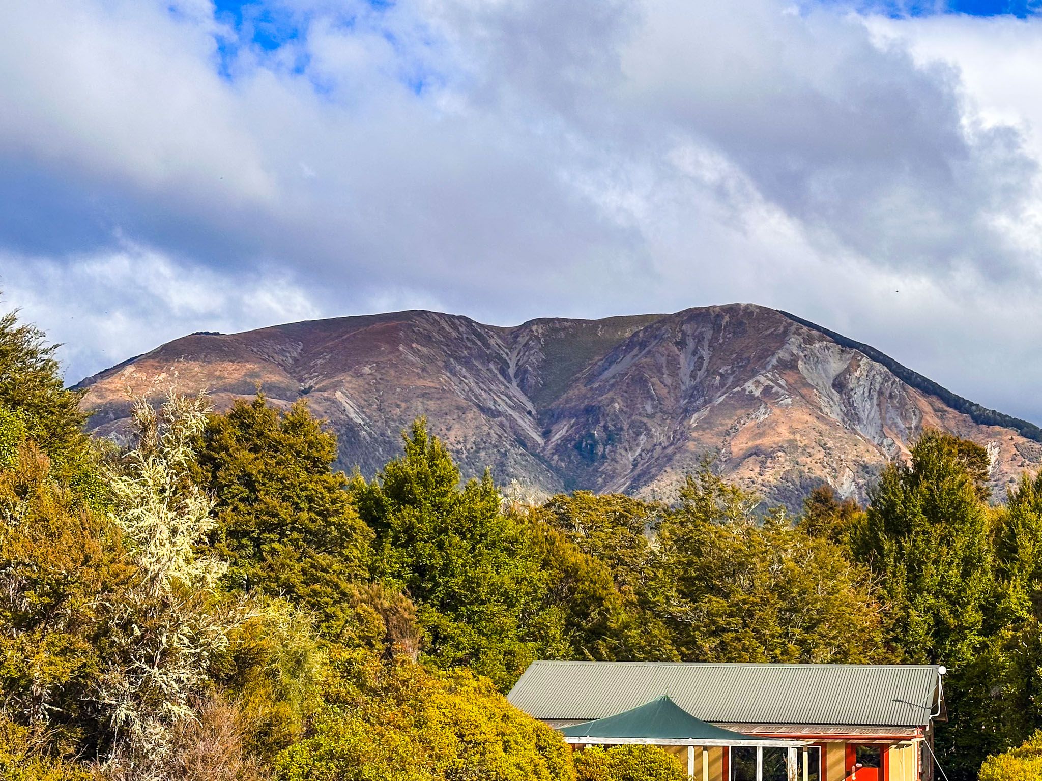
Originally named Rotoiti, the village was renamed Saint Arnaud in 1921 to avoid confusion with Lake Rotoiti near Rotorua. The French name was likely chosen to evoke the European Alps. The surrounding ranges, which reach heights of 1,400 to 1,800 metres, are often snow-capped in winter and spring. The Rainbow Skifield is located in the St Arnaud Range, east of the town.
Getting to Saint Arnaud
Saint Arnaud is accessible via State Highway 63, 103 km from Blenheim along the Wairau Valley. If you're coming from Nelson, it's a 90 km drive on State Highway 6, with a turnoff onto Korere Tophouse Road to connect with State Highway 63.
Nearby easy walks include the Honeydew Walk, the Brunner Peninsula Nature Walk and the Pourangahau / Mt Robert Viewpoint.