Exploring the Scenic Lindis Pass
The drive from Tarras to Omarama along State Highway 8 is a 60 km journey through some of the South Island's most stunning landscapes. This route, connecting Central Otago with the Mackenzie Country, is famous for its dramatic tussock-covered ranges, expansive plains, and canyon-carved valleys. Just over an hour from Wānaka and two hours from Queenstown, this drive is particularly captivating in Autumn with its vibrant colours and in Winter with snow on the peaks.
River Valleys and Canyon Walls
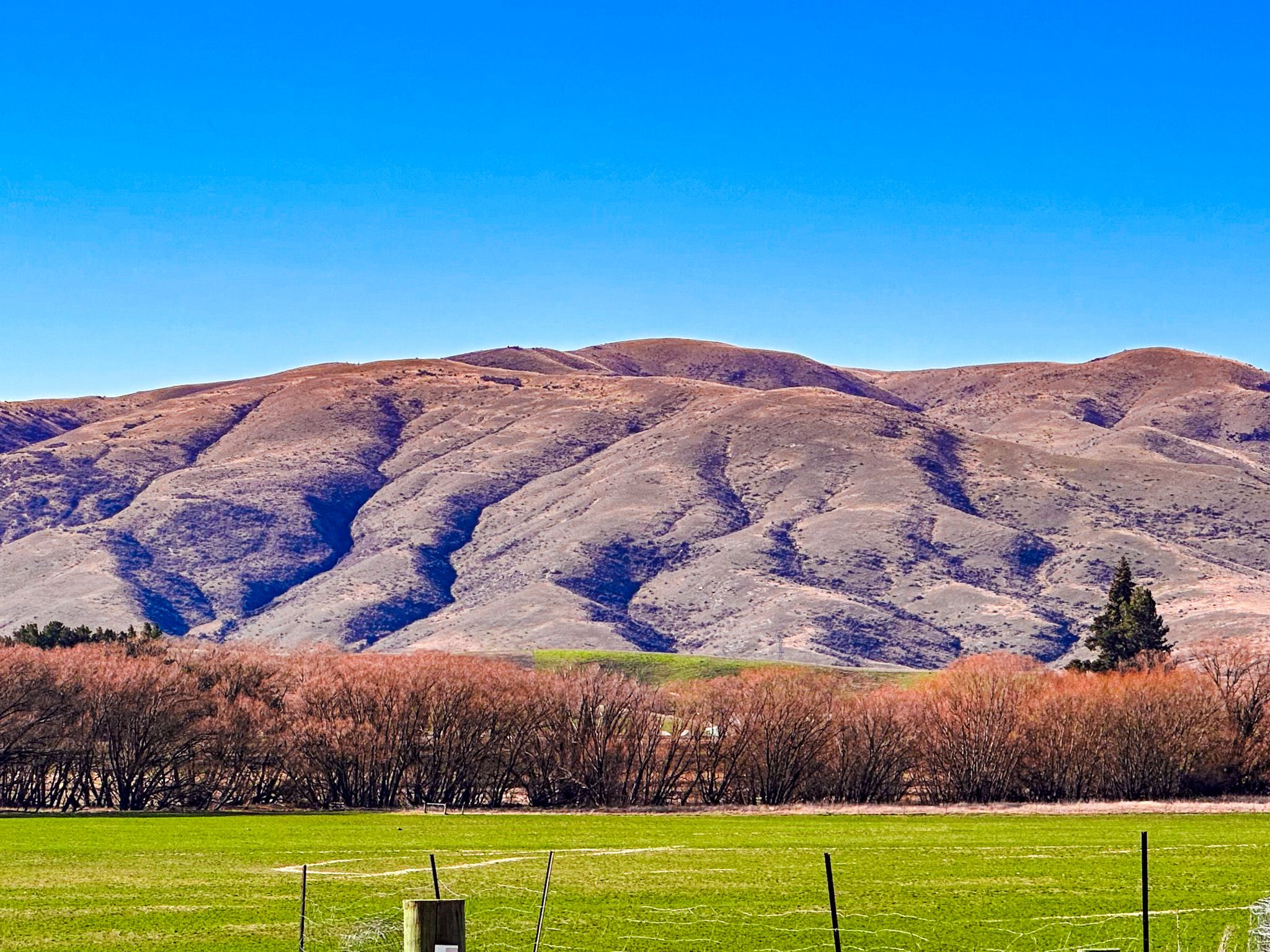
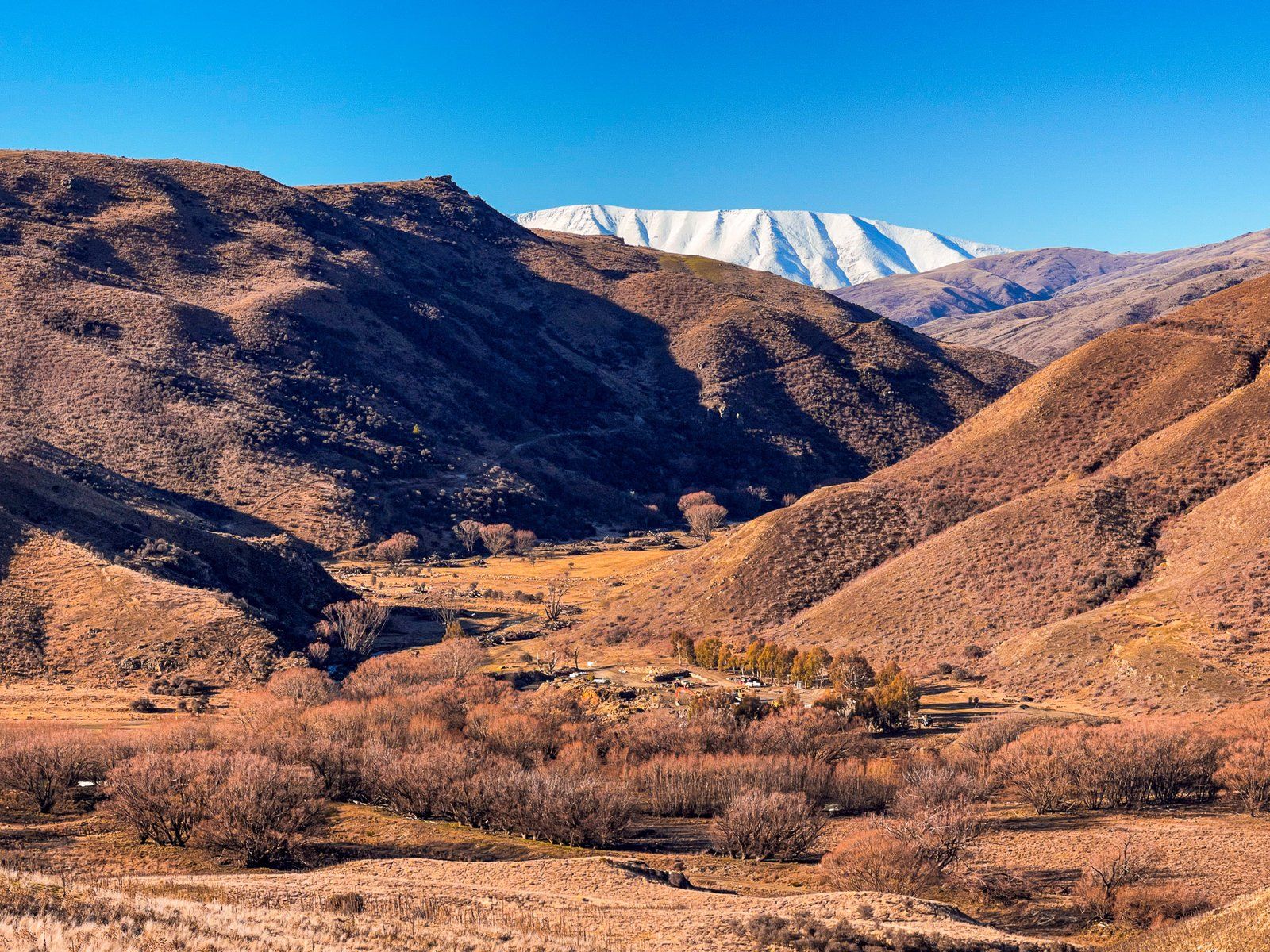
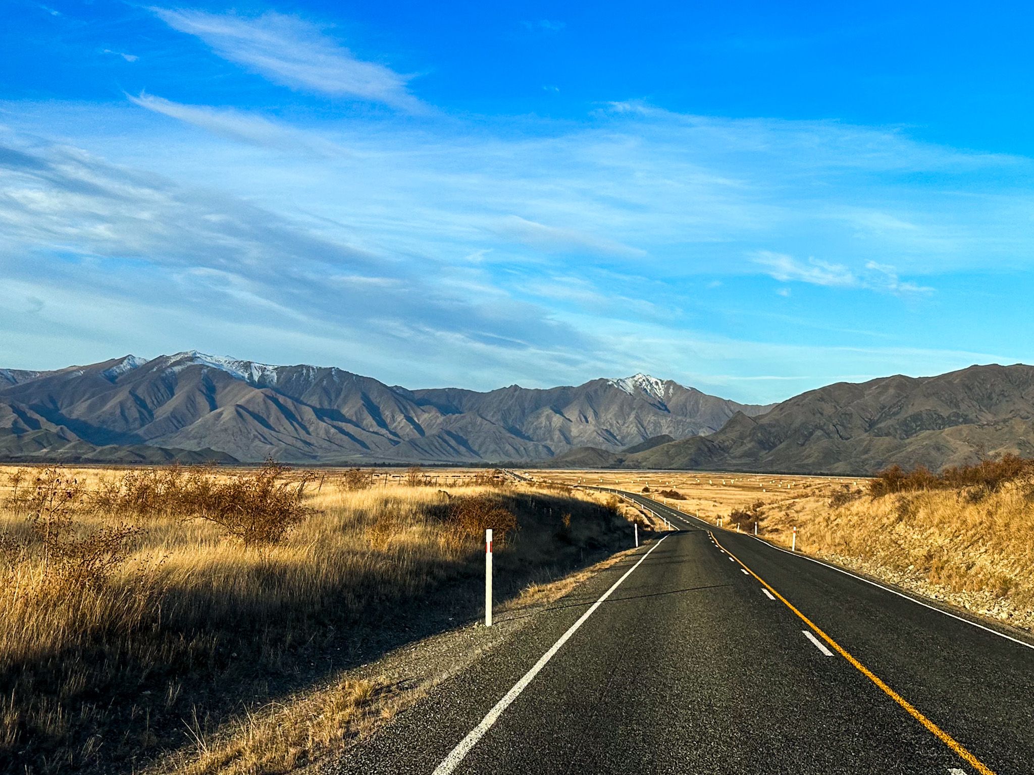
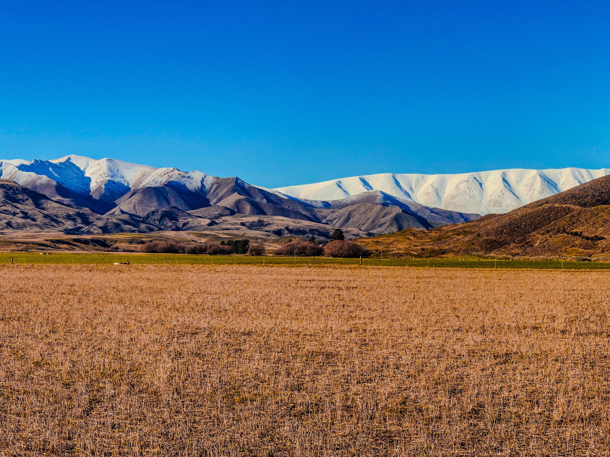
Starting near the small township of Tarras, the highway crosses a wide, irrigated plain bordered by the Dunstan Mountains to the east. To the north, the Clutha River / Mata-Au valley stretches towards the Buchanan Peaks and Mount Alta. The flat-topped St Bathans Range, often dusted with seasonal snow, dominates the northeastern skyline.
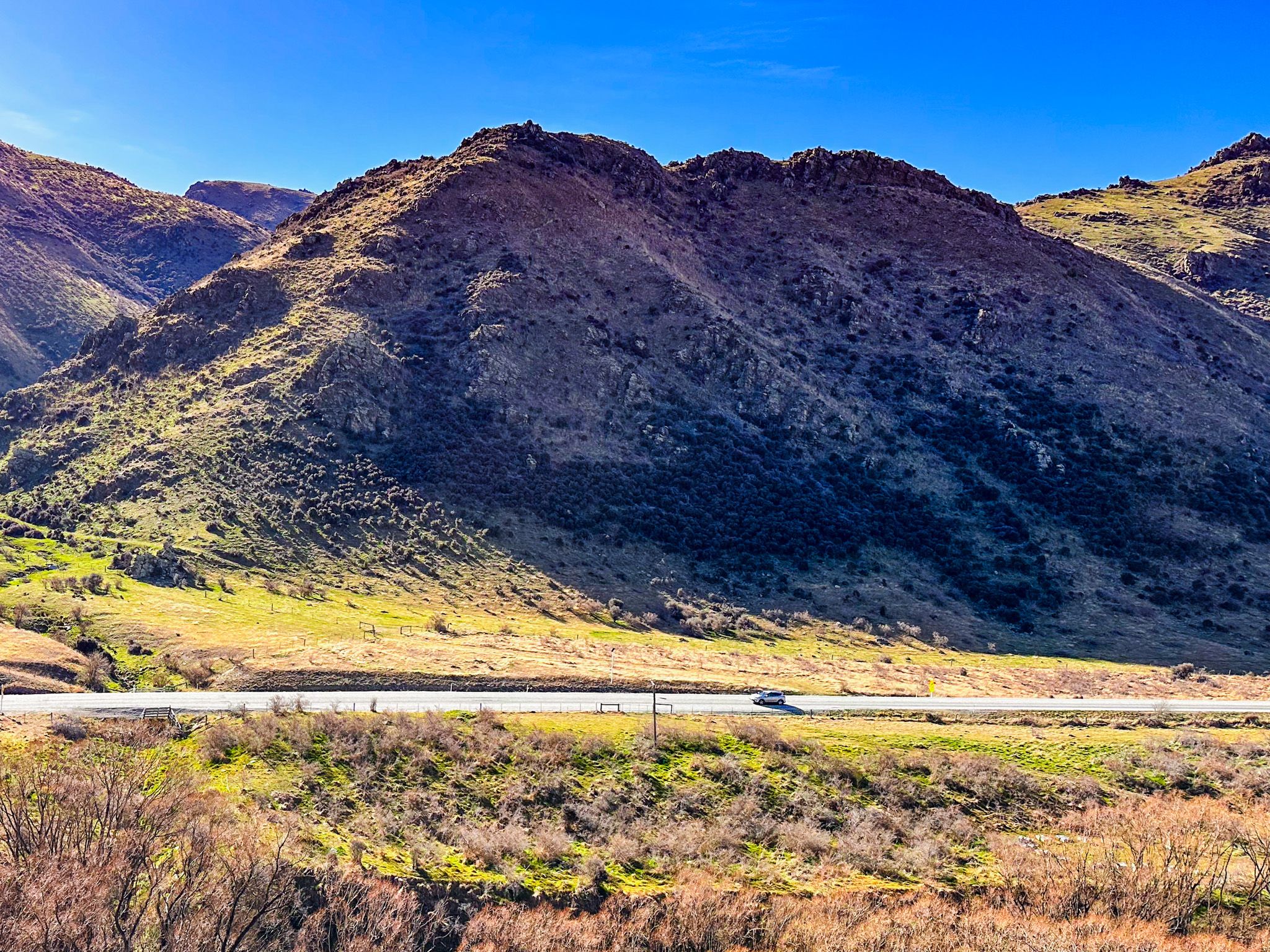
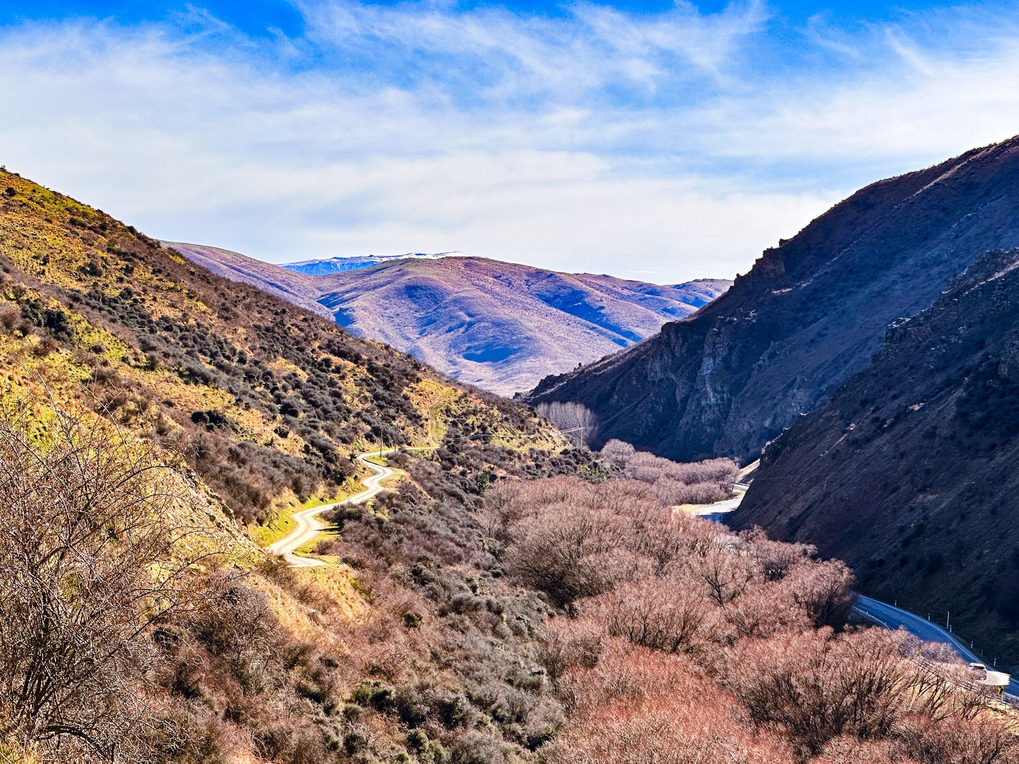
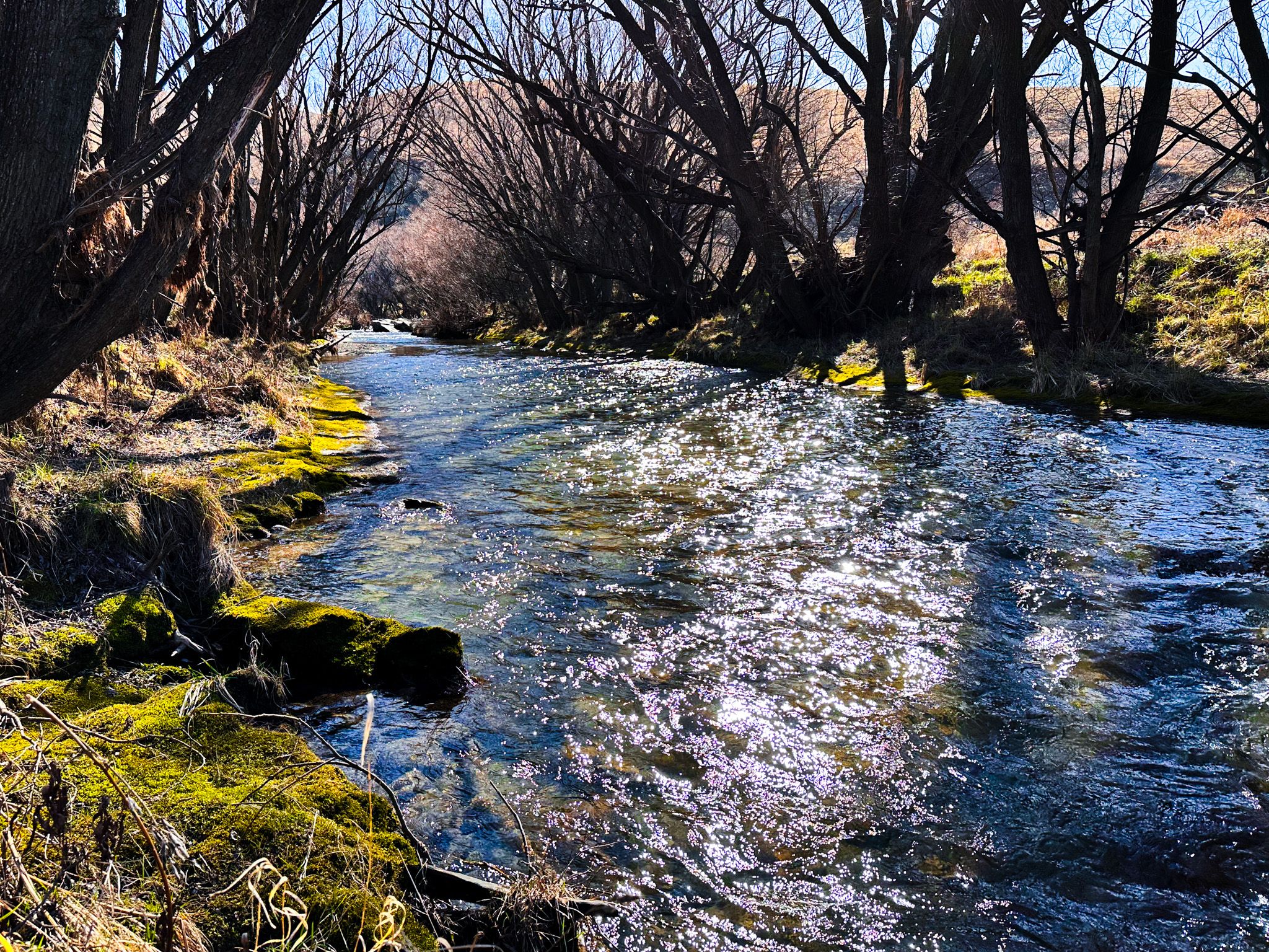
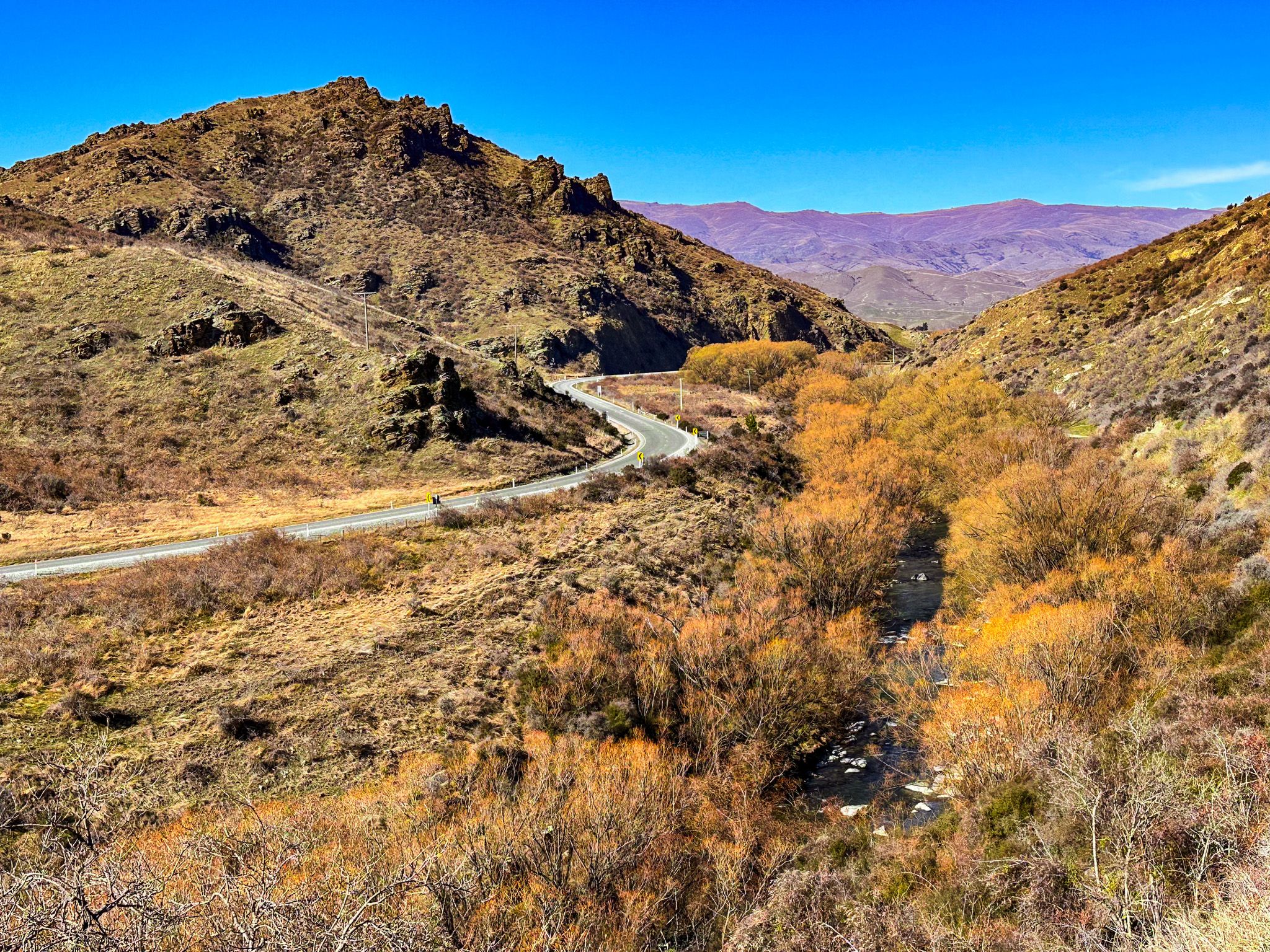
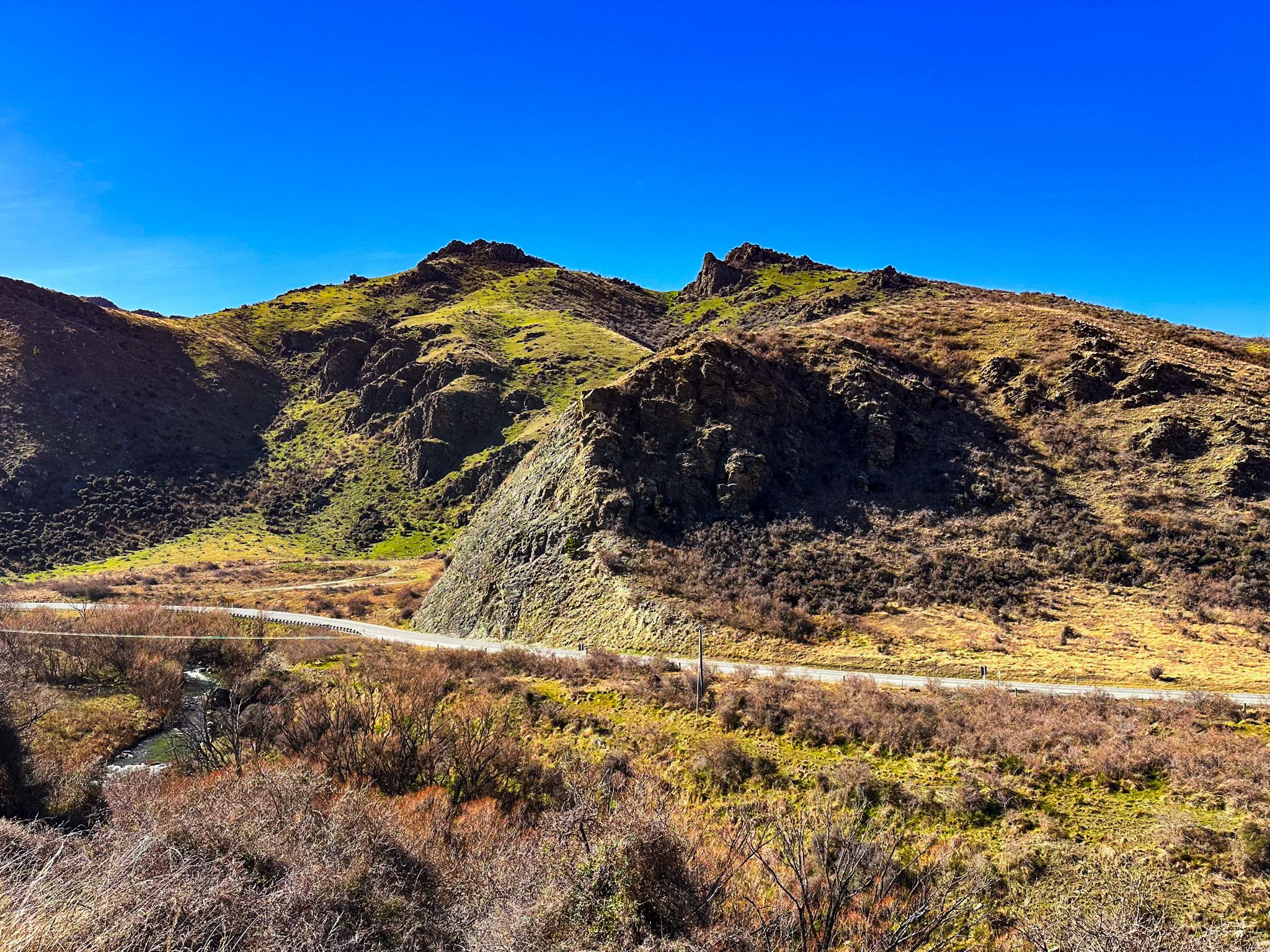
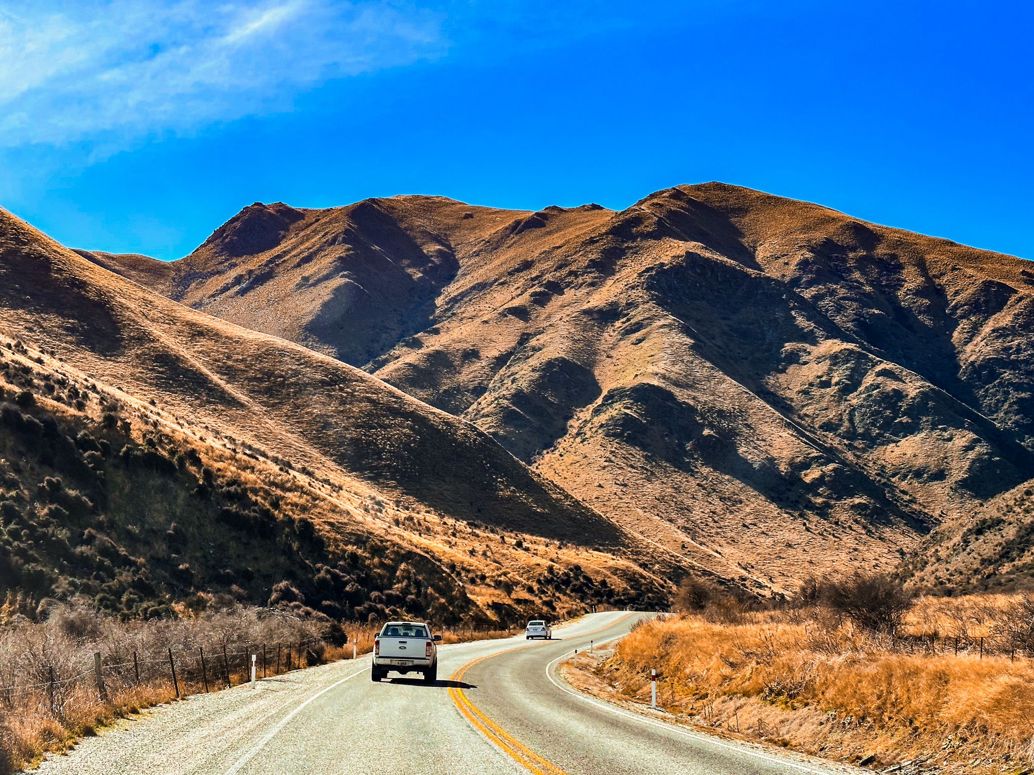
After ascending Cluden Hill, the road descends into the Lindis Valley, running alongside the Lindis River. This section offers some of the best views of the St Bathans Range, with Lindis Peak at 1,226 metres to the northwest. The landscape is characterised by golden tussock and schist rock terrain, with remnants of old pastoral fencing visible on the hillsides.
Walks, History, and Remote Detours
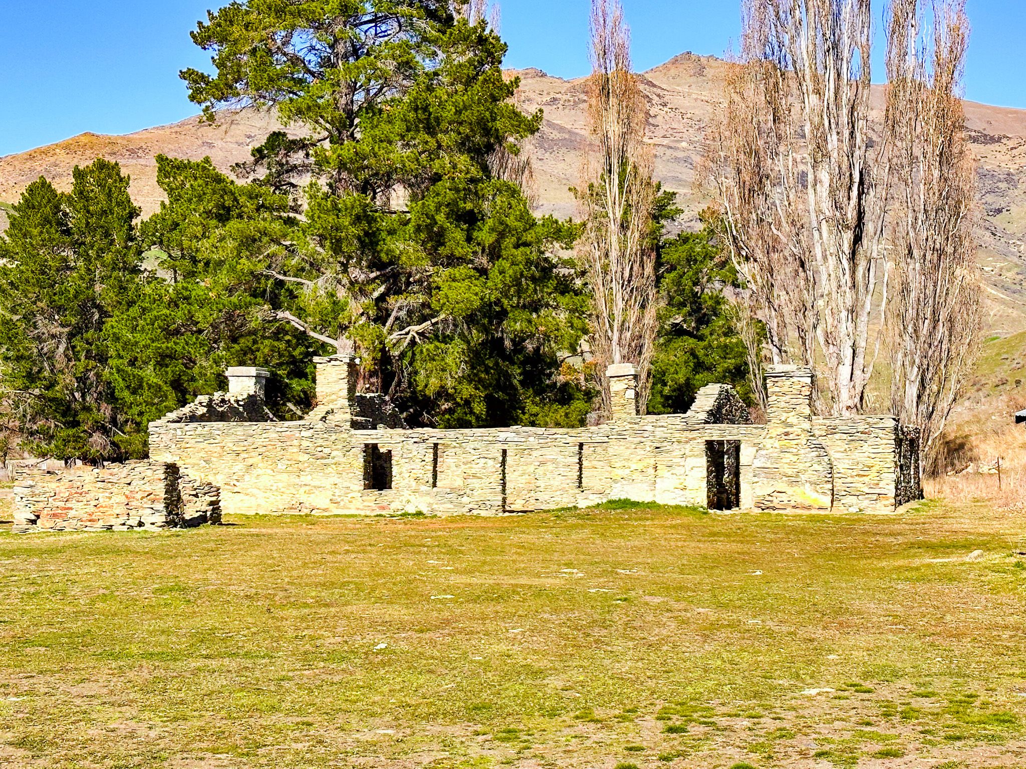
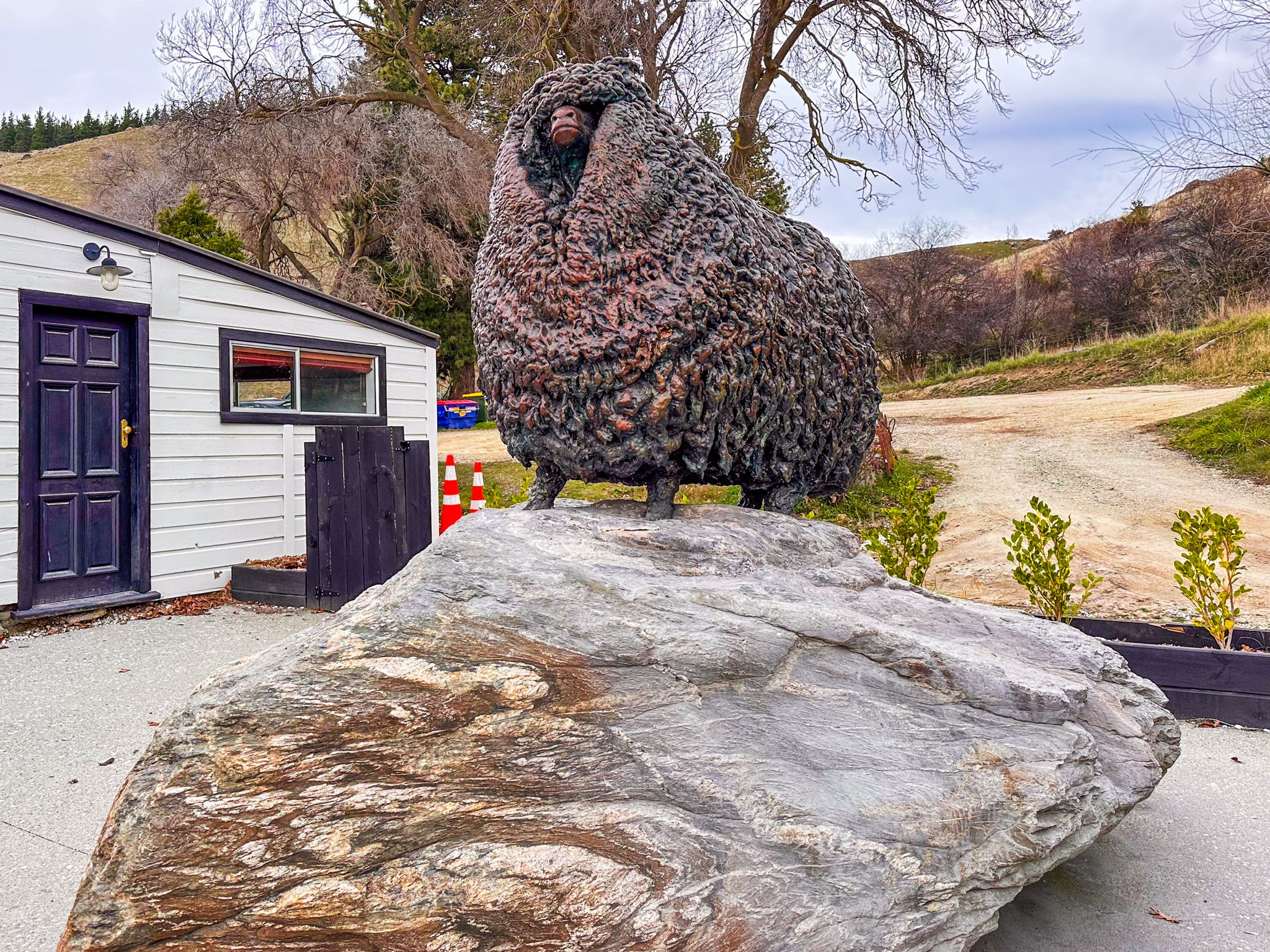
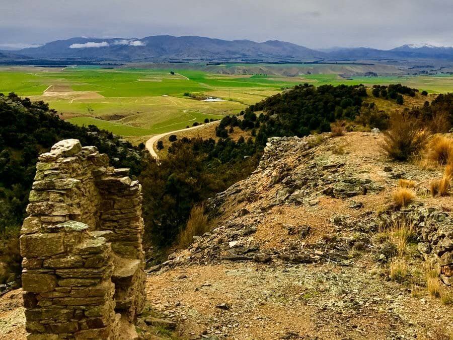
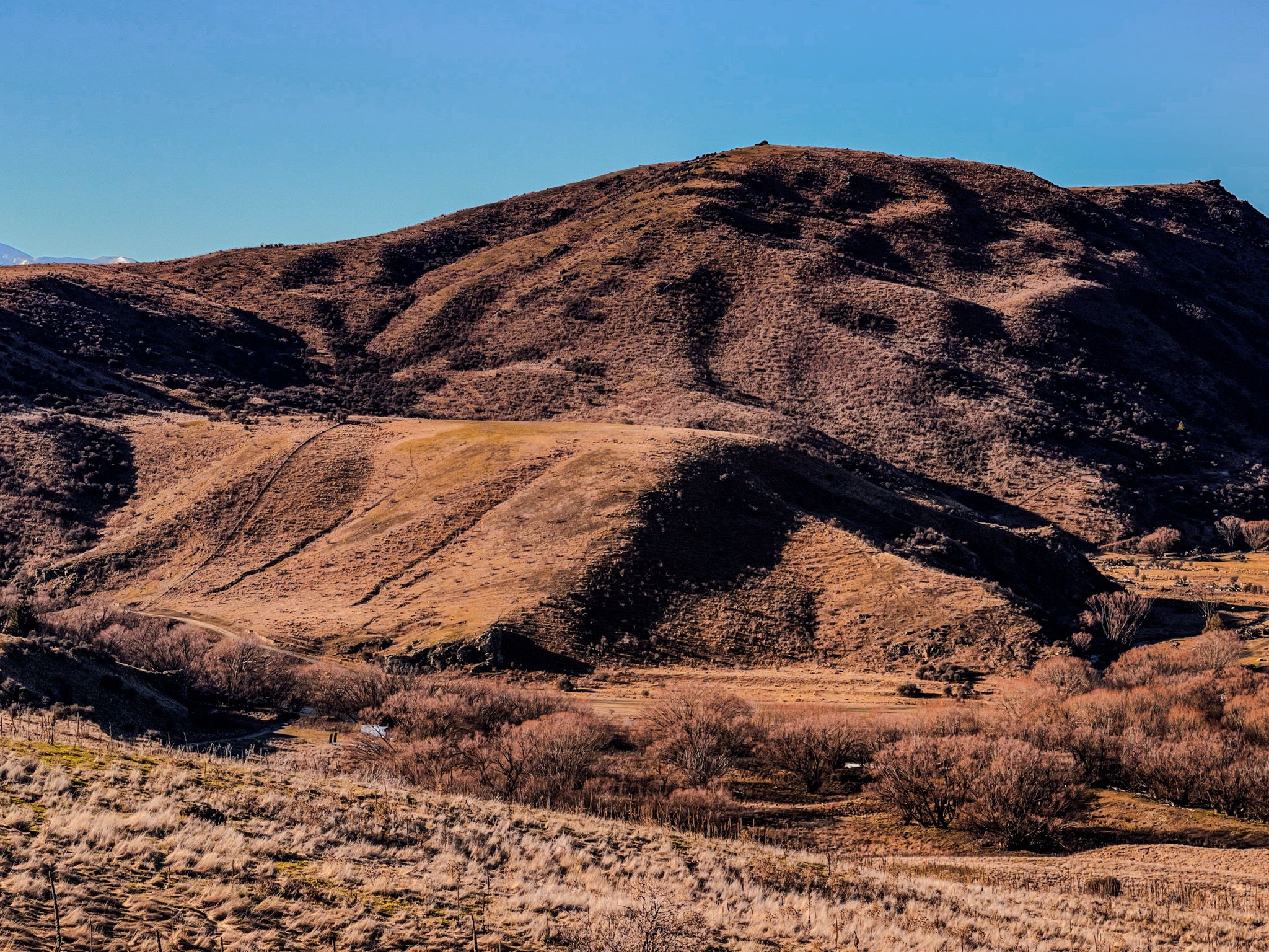
A short detour via Old Faithful Road at the northern end of Lindis Valley leads to Nine Mile Historic Reserve. Here, you can explore the ruins of the Lindis Hotel at Goodger Flat, a relic from Otago’s first gold rush in 1861. Goodger Road, across the highway, provides access to remote tracks in the Chain Hills, west of the St Bathans Range.
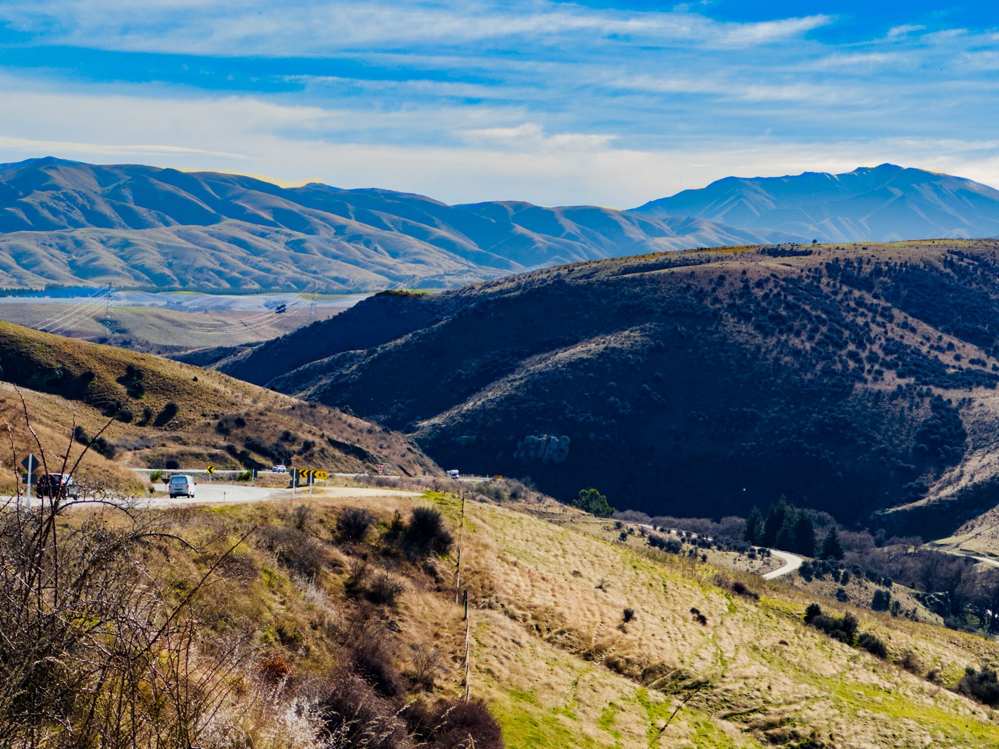
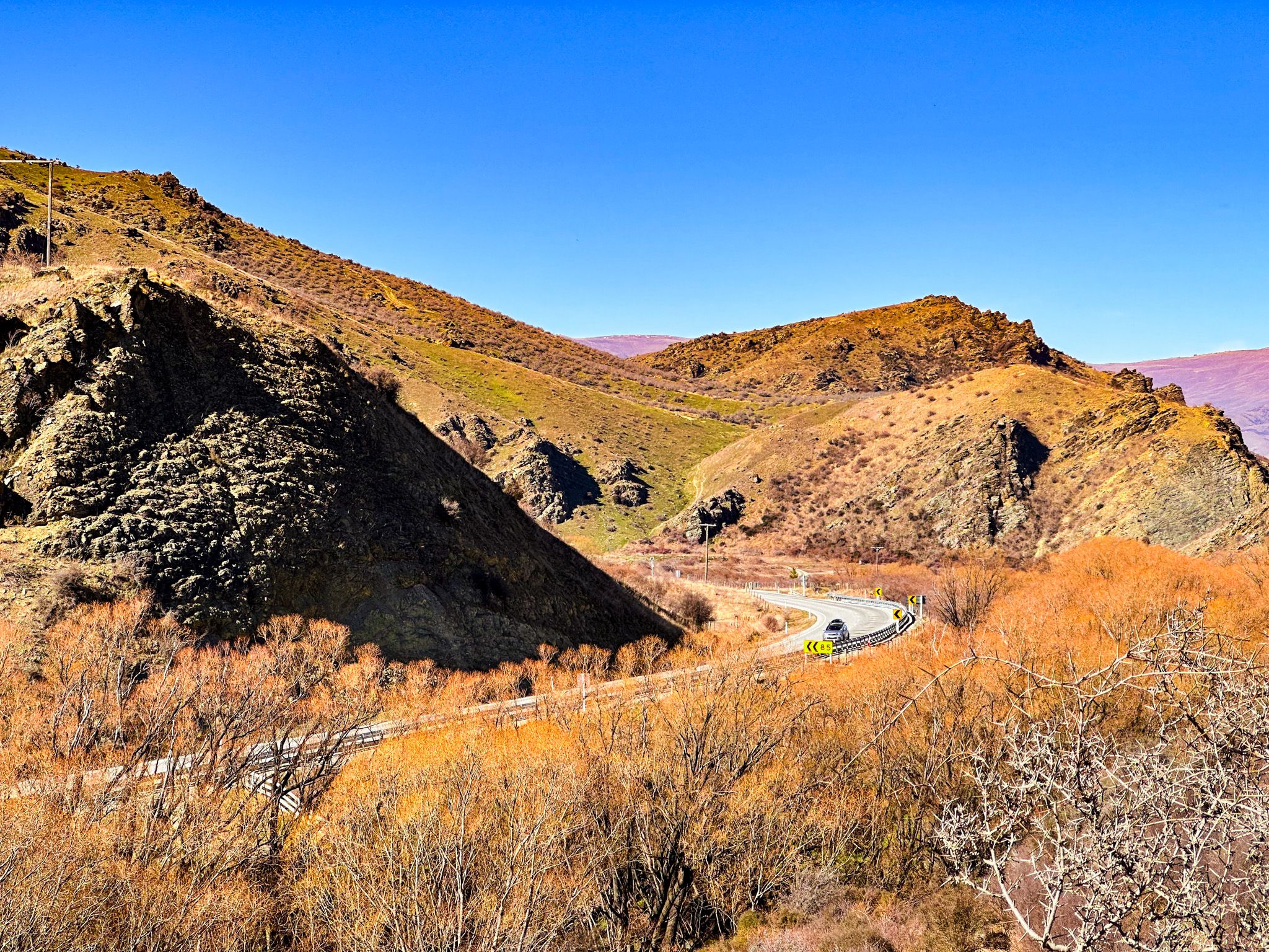
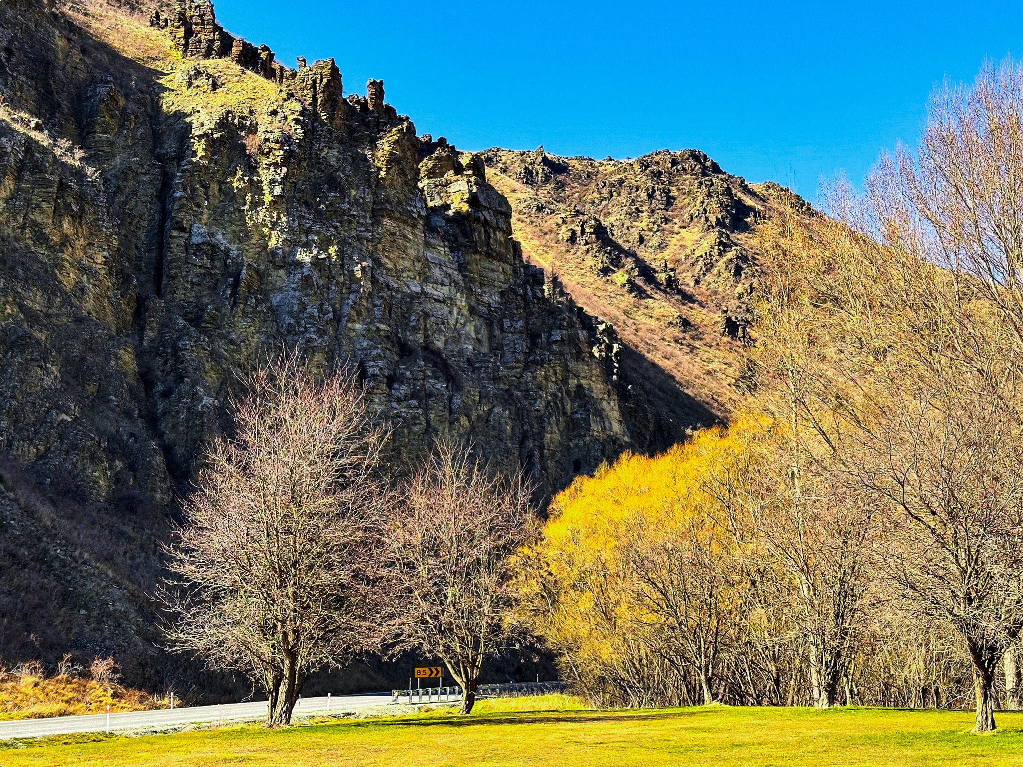
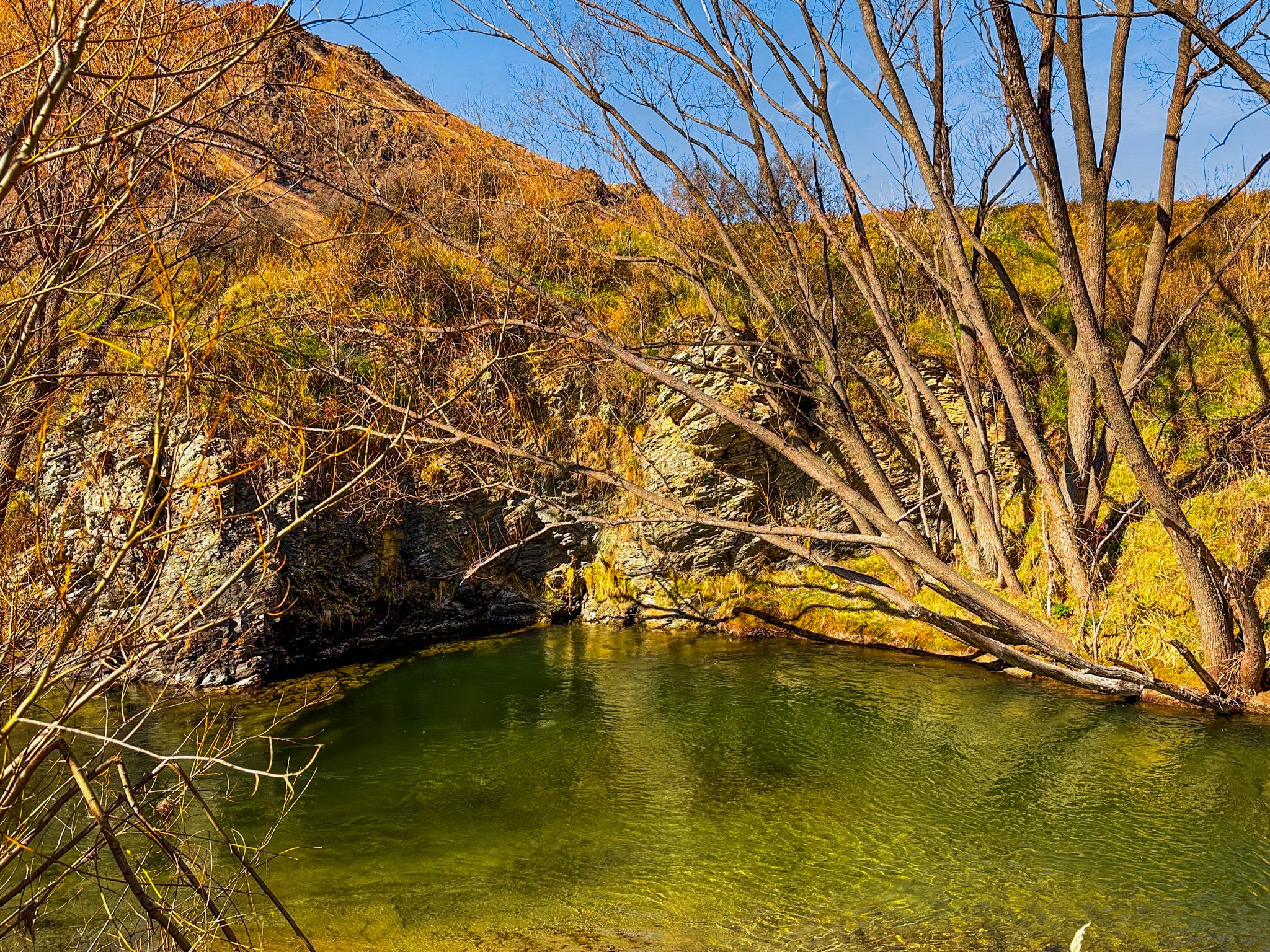
Continuing north, the highway enters a narrow 4 km canyon carved by the Lindis River. This rugged section features sheer rock faces and sharp bends before opening out between Goodger Flat to the west and Georges Flat to the east. A second short canyon follows, with a roadside rest area featuring interpretive panels on the area's gold-mining history.
The Summit of Lindis Pass
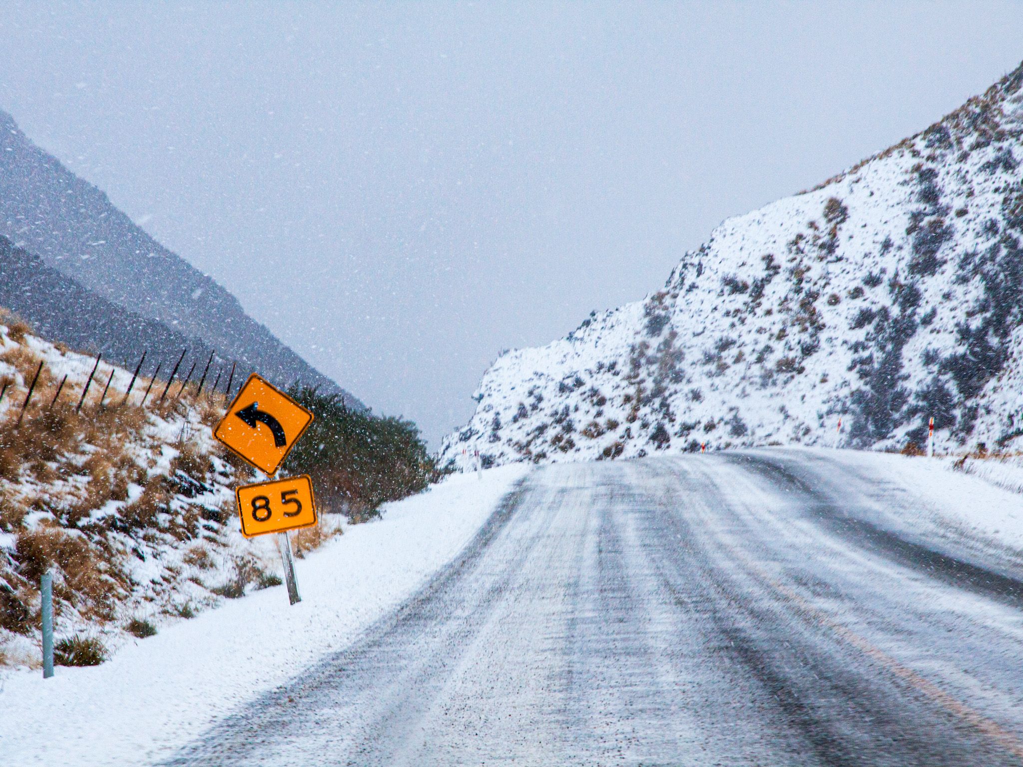
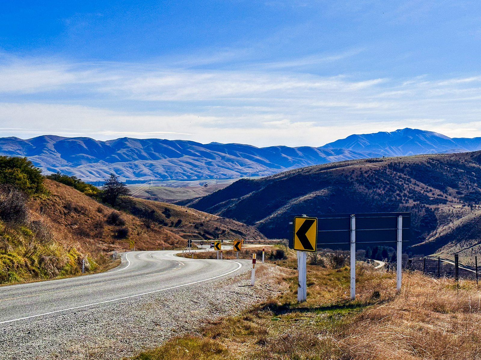
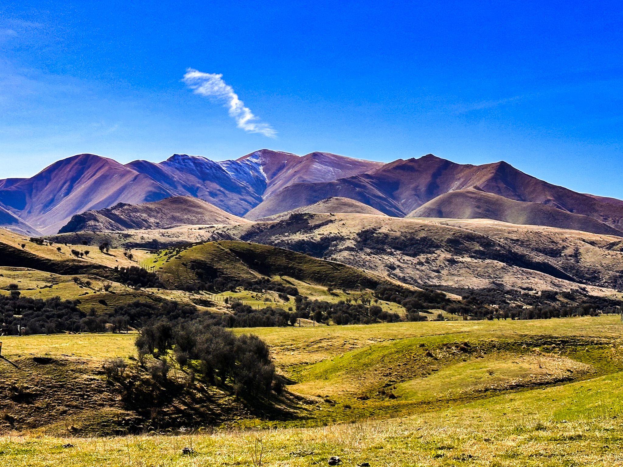
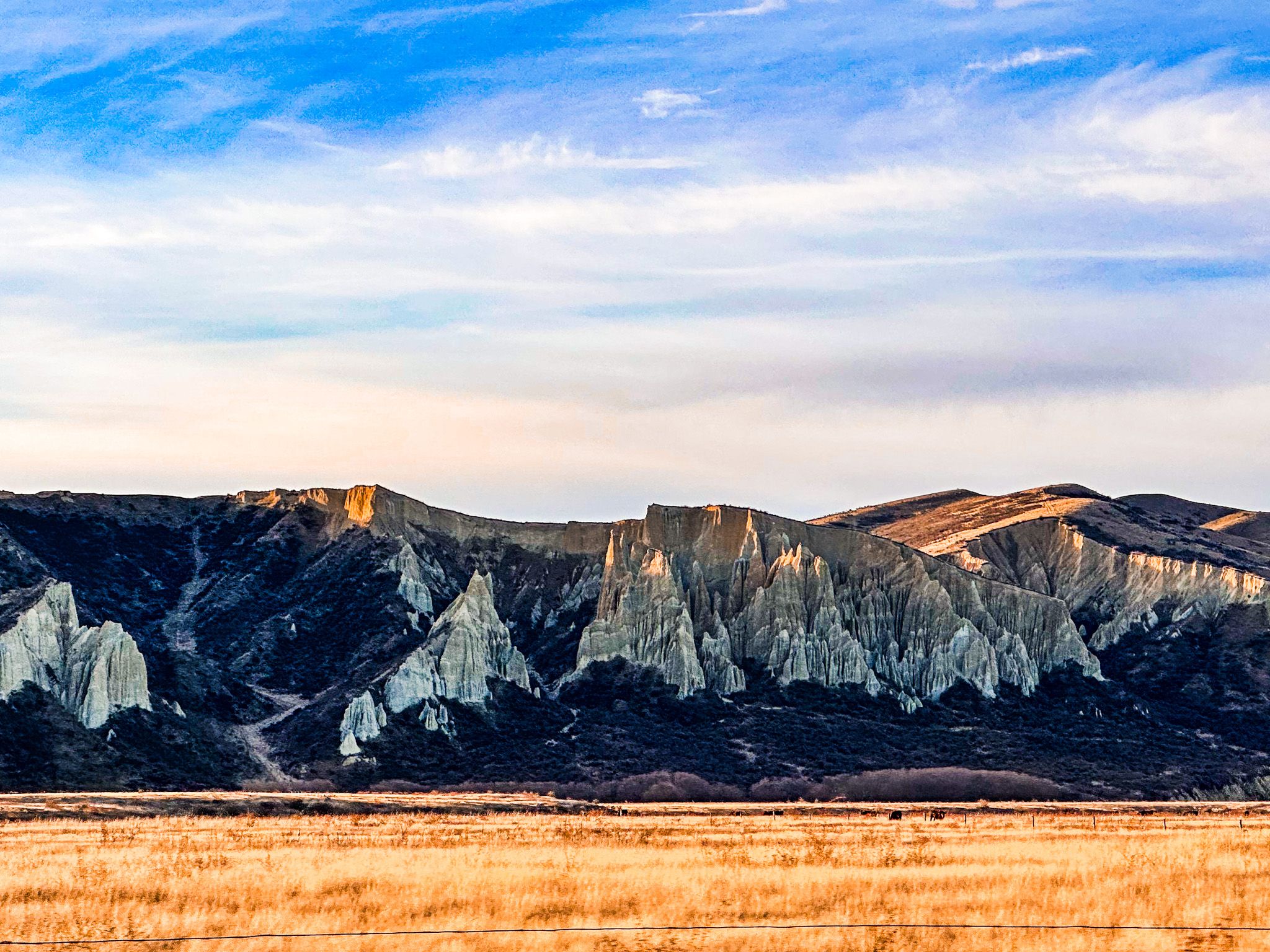
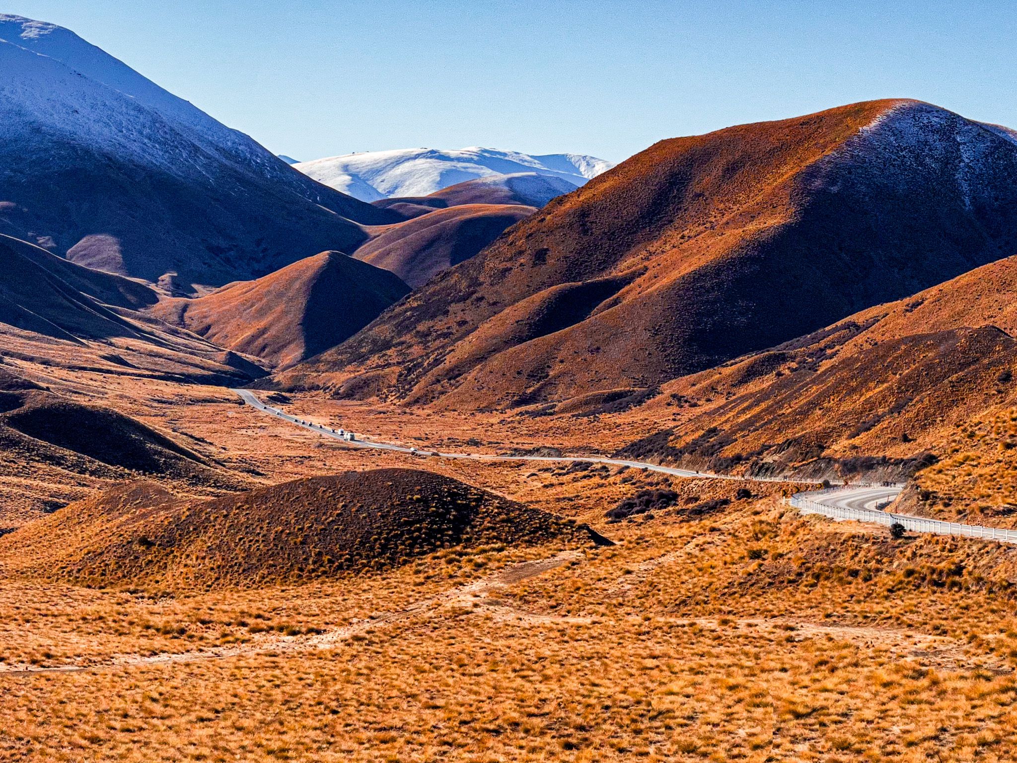
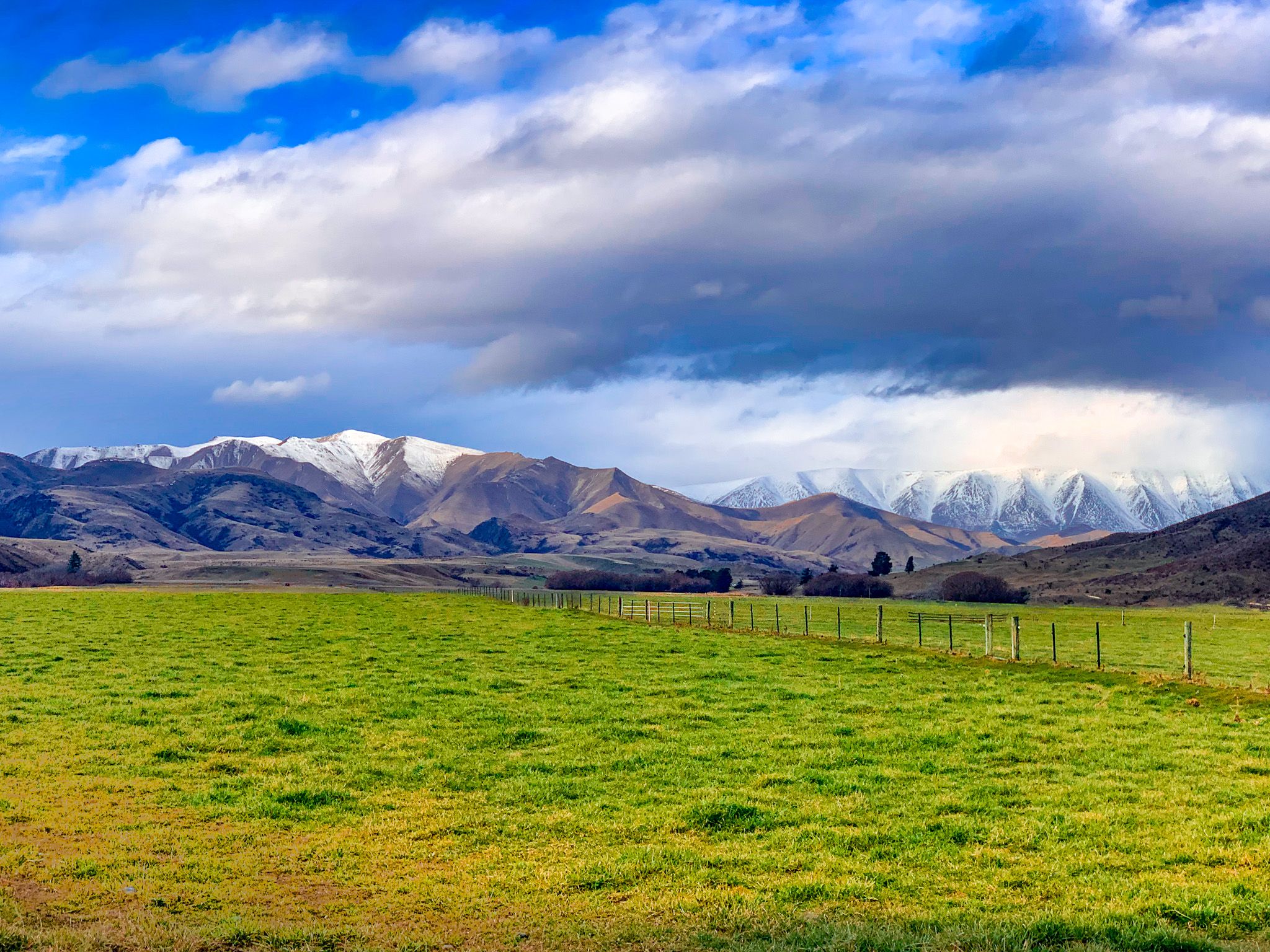
The final stretch of the drive climbs to the summit of Lindis Pass at 971 metres, one of the highest public highways in Aotearoa. This alpine environment has sweeping views and tussock grassland ecosystems. While snow can affect travel in Winter, road is rarely closed. From the summit, the descent into the Ahuriri Valley reveals broad glacial plains, braided rivers, and the striking Clay Cliffs near Omarama.
Cultural and Historical Significance
The Lindis region is within the rohe of Kāi Tahu, and the pass was historically part of inland ara tawhito, traditional travel routes linking seasonal mahika kai sites. The Māori name for the Lindis River is Ōmārama, meaning ‘place of light’.
European settlers named the pass after the Lindis River in Cumbria, England. Pastoral farming began in the 1850s, with runs extending through the Lindis and Ahuriri valleys.
How to Get There
To reach Taras from Wānaka, take State Highway 84 to State Highway 8A to State Highway 8 at Tarras. This takes 27 minutes and is 34 km. From Queenstown, the drive is 80 minutes and 91 km. Both Omarama and Tarras have cafés and shops.
Other places to explore near Tarras include Lake Dunstan, Bendigo, and Cromwell. From Omarama, you can explore Lake Benmore, Lake Ōhau and Lake Ruataniwha.