Discover Mackenzie Pass
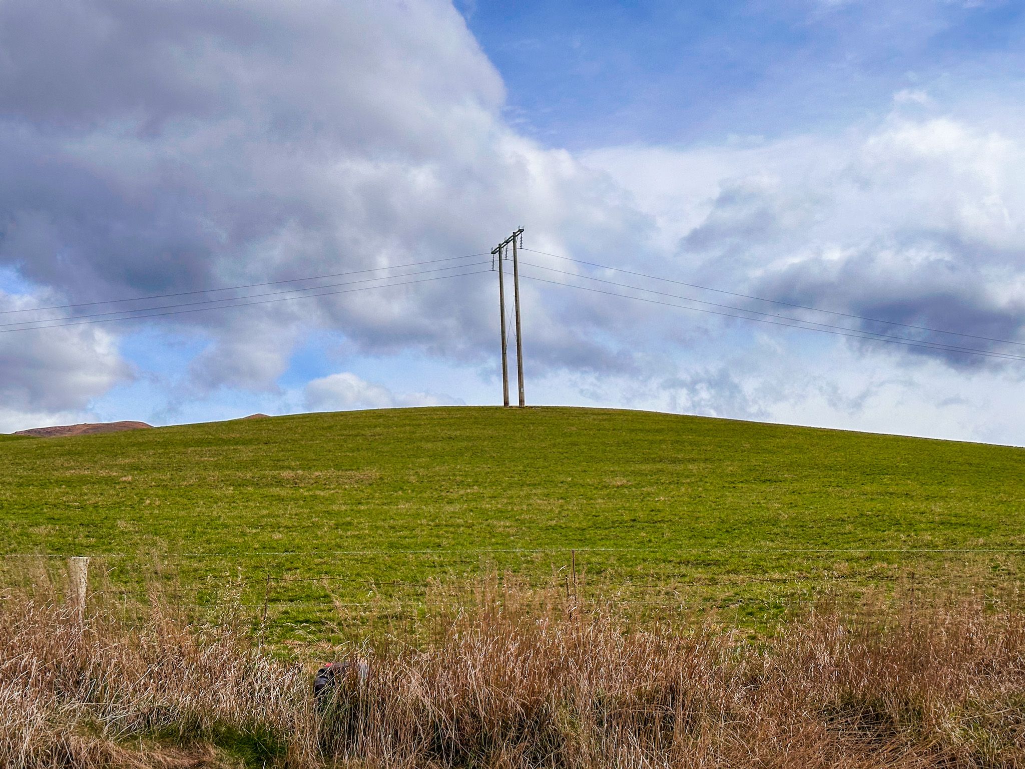
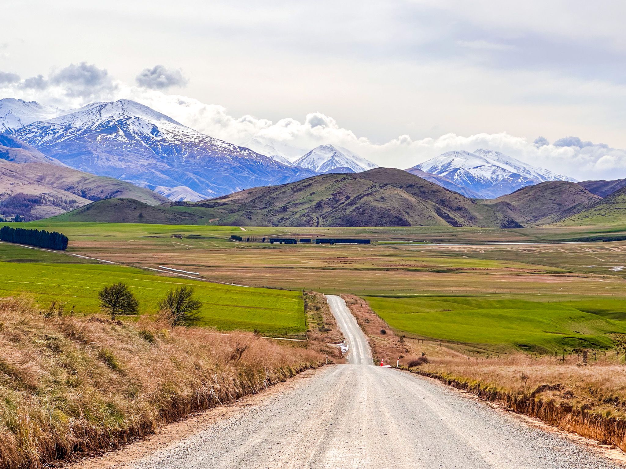
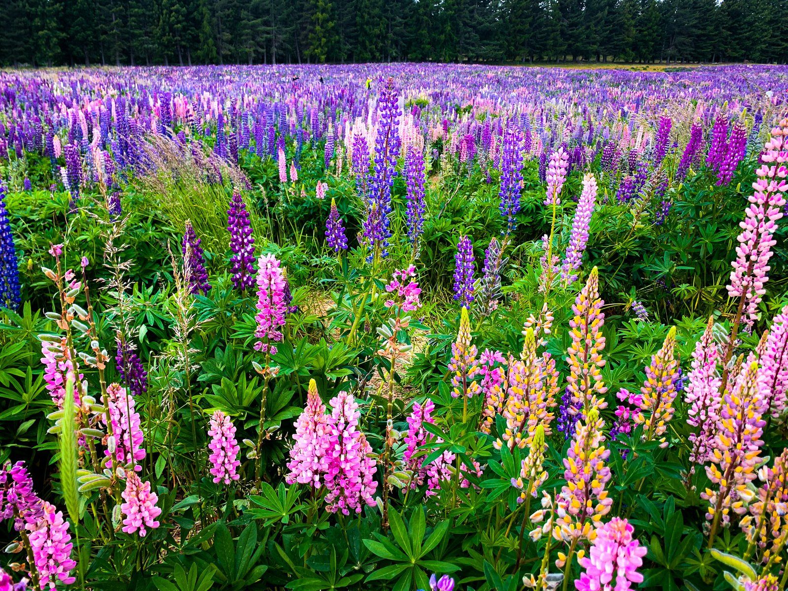
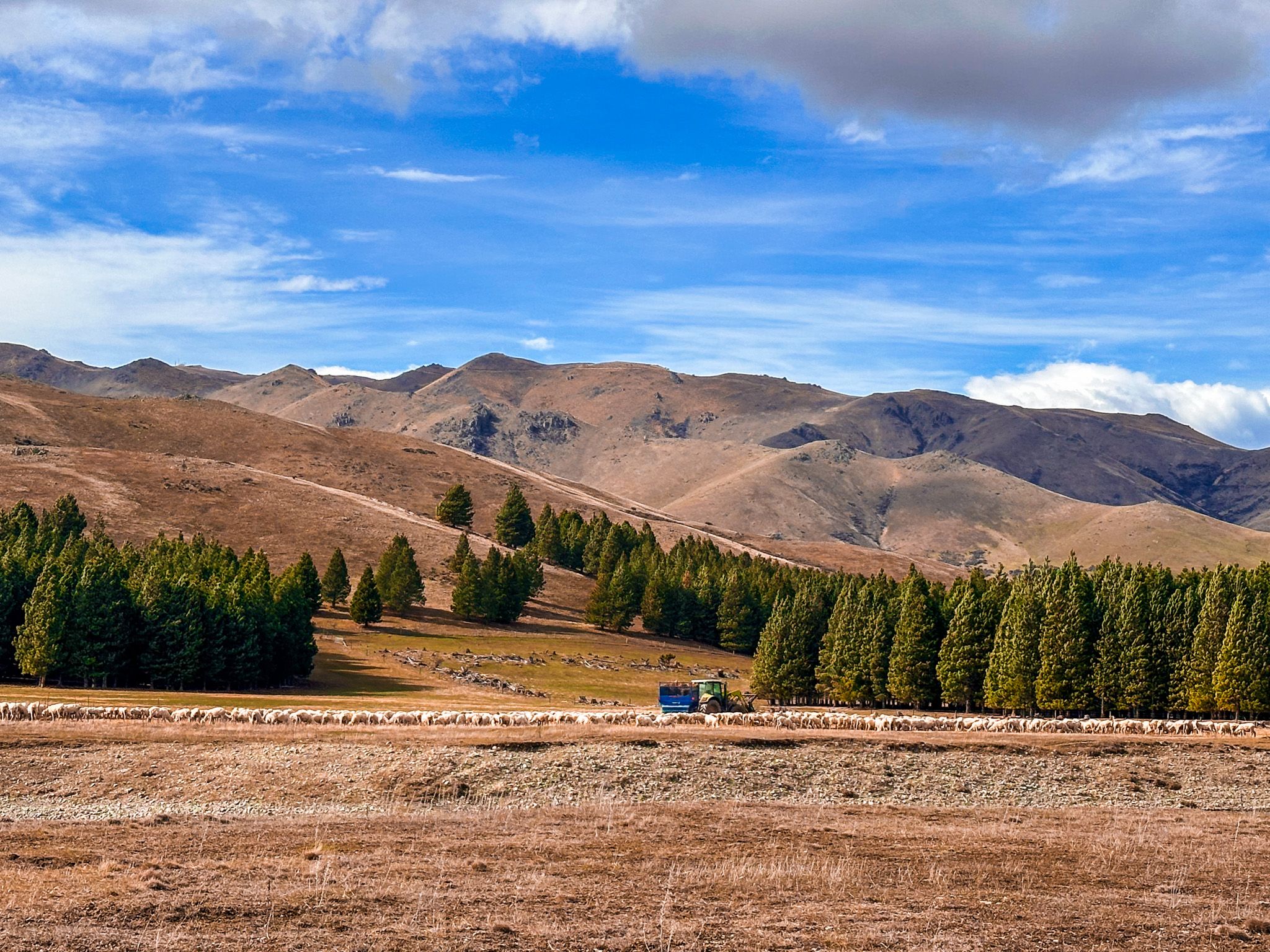
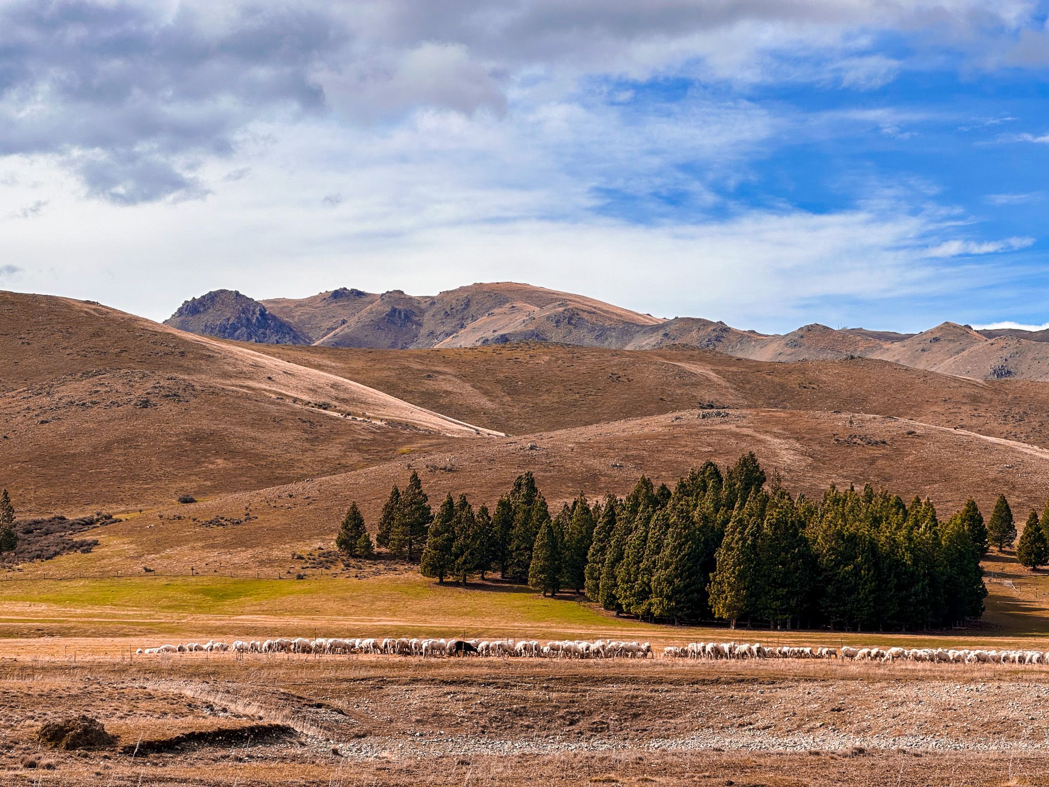
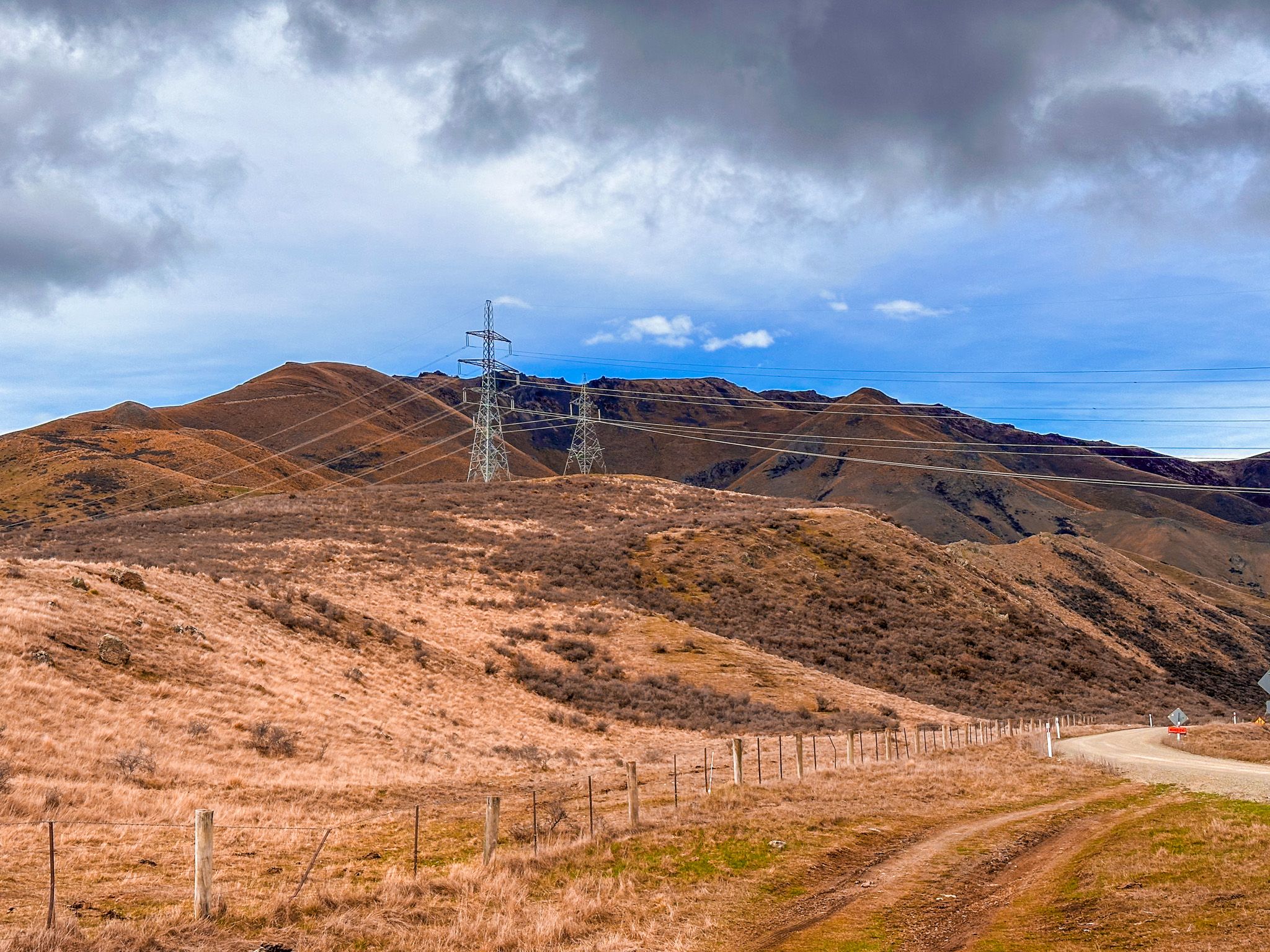
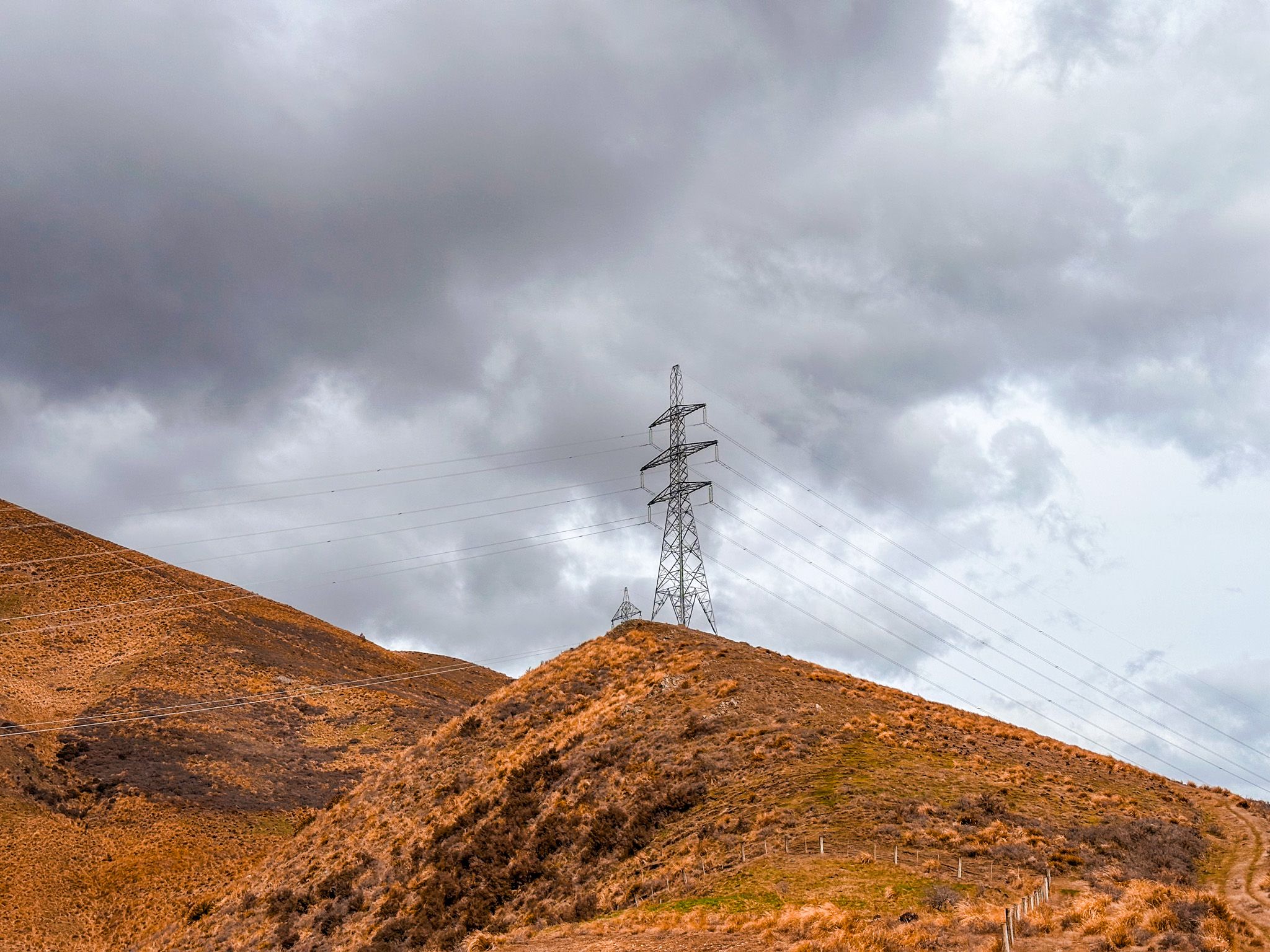
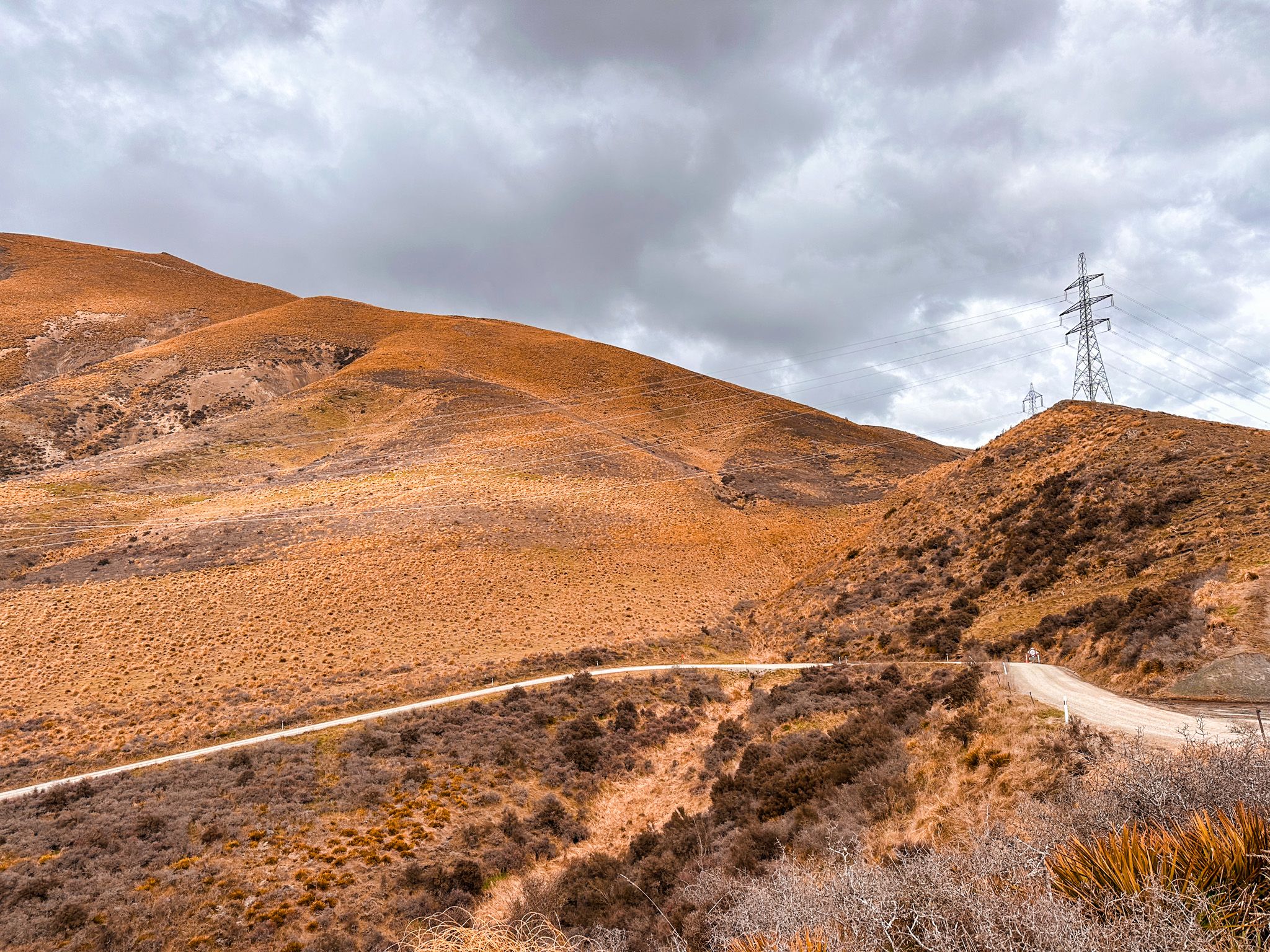
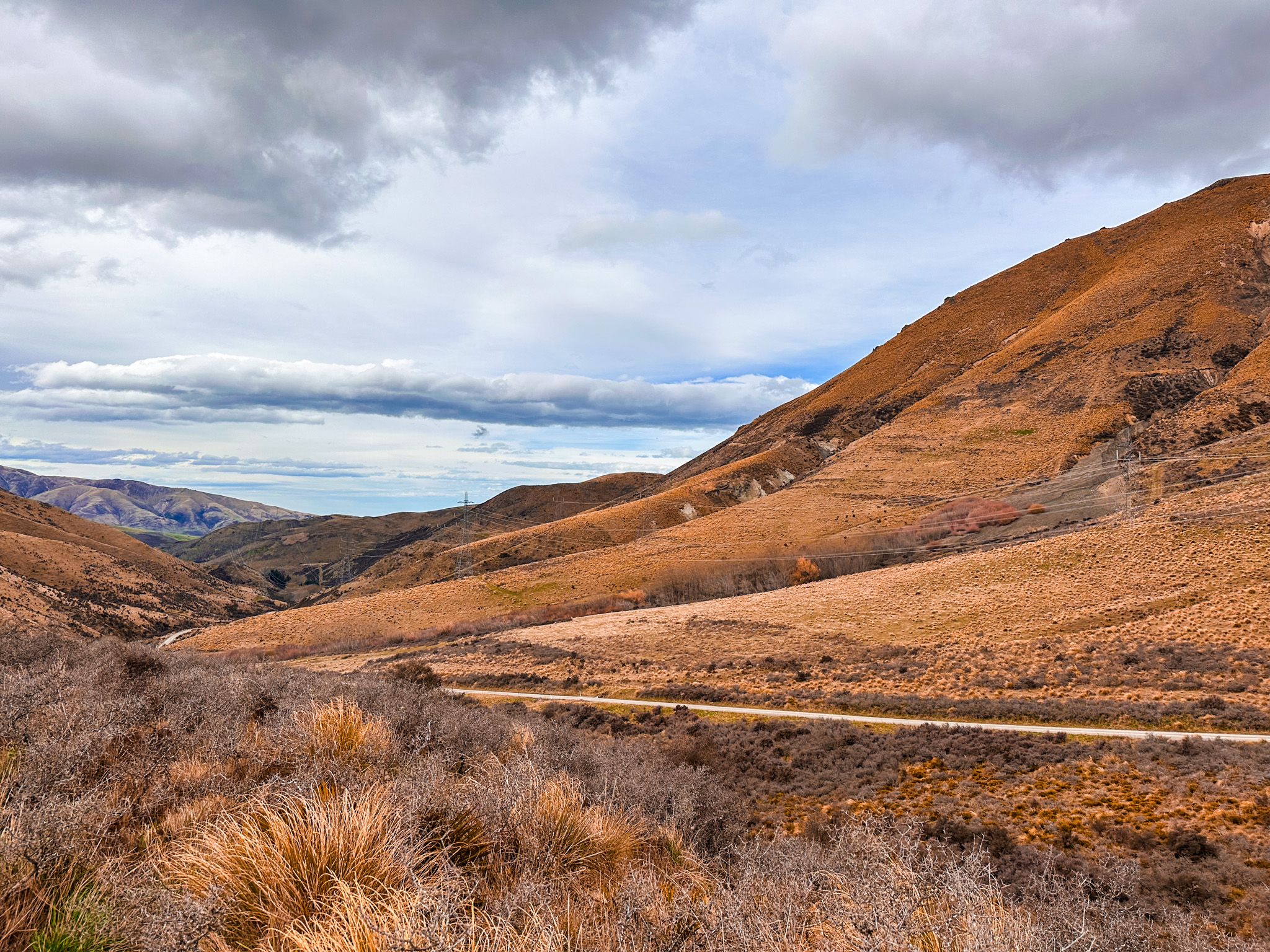
Mackenzie Pass sits between the Rollesby and Dalgety ranges in South Canterbury, linking the rolling farmland of the Rollesby Valley with the open plains of the Mackenzie Basin / Te Manahuna. This historic backroad provides a scenic alternative to State Highway 8 and traces one of the earliest inland routes through the Southern Alps foothills. Wide skies, golden grasslands, and a sense of remoteness define the landscape.
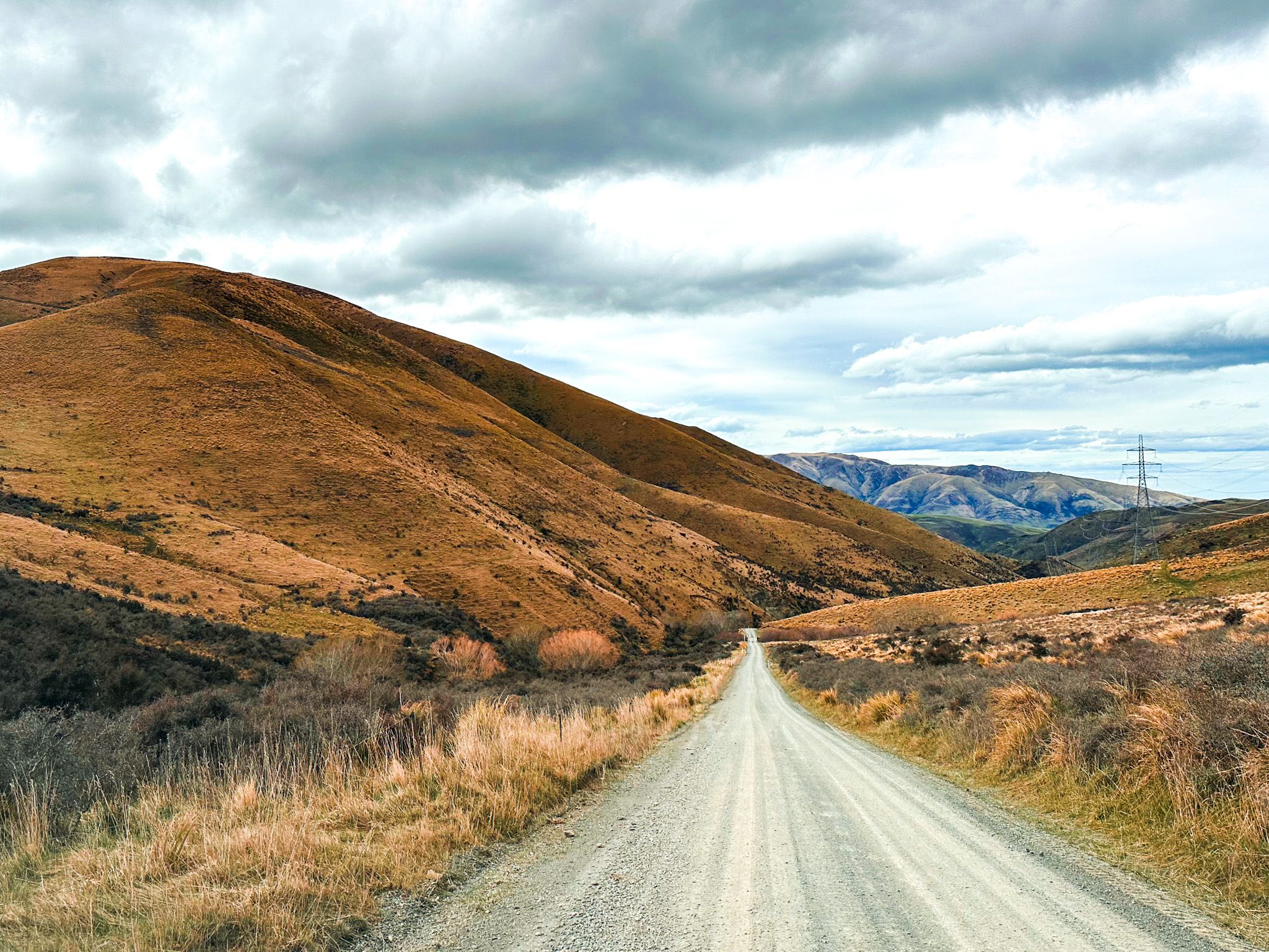
A Saddle Through Remote Landscapes
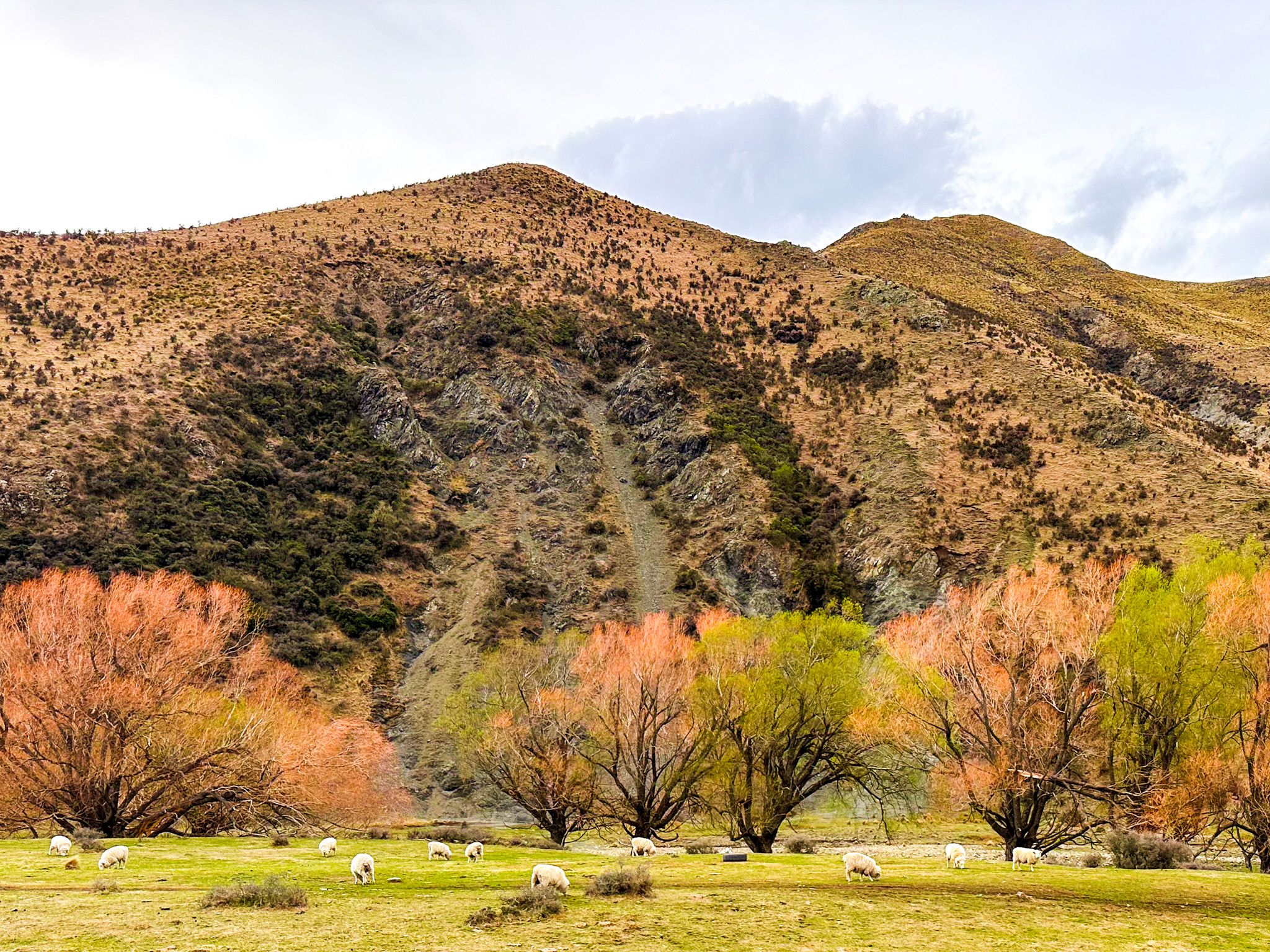
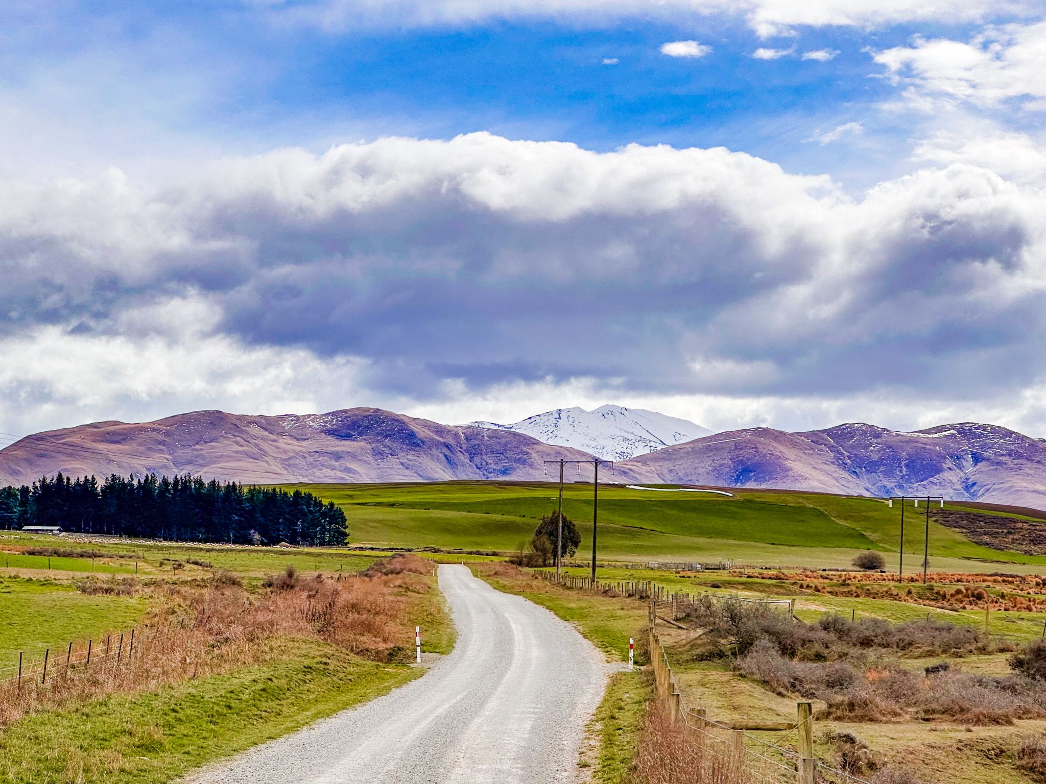
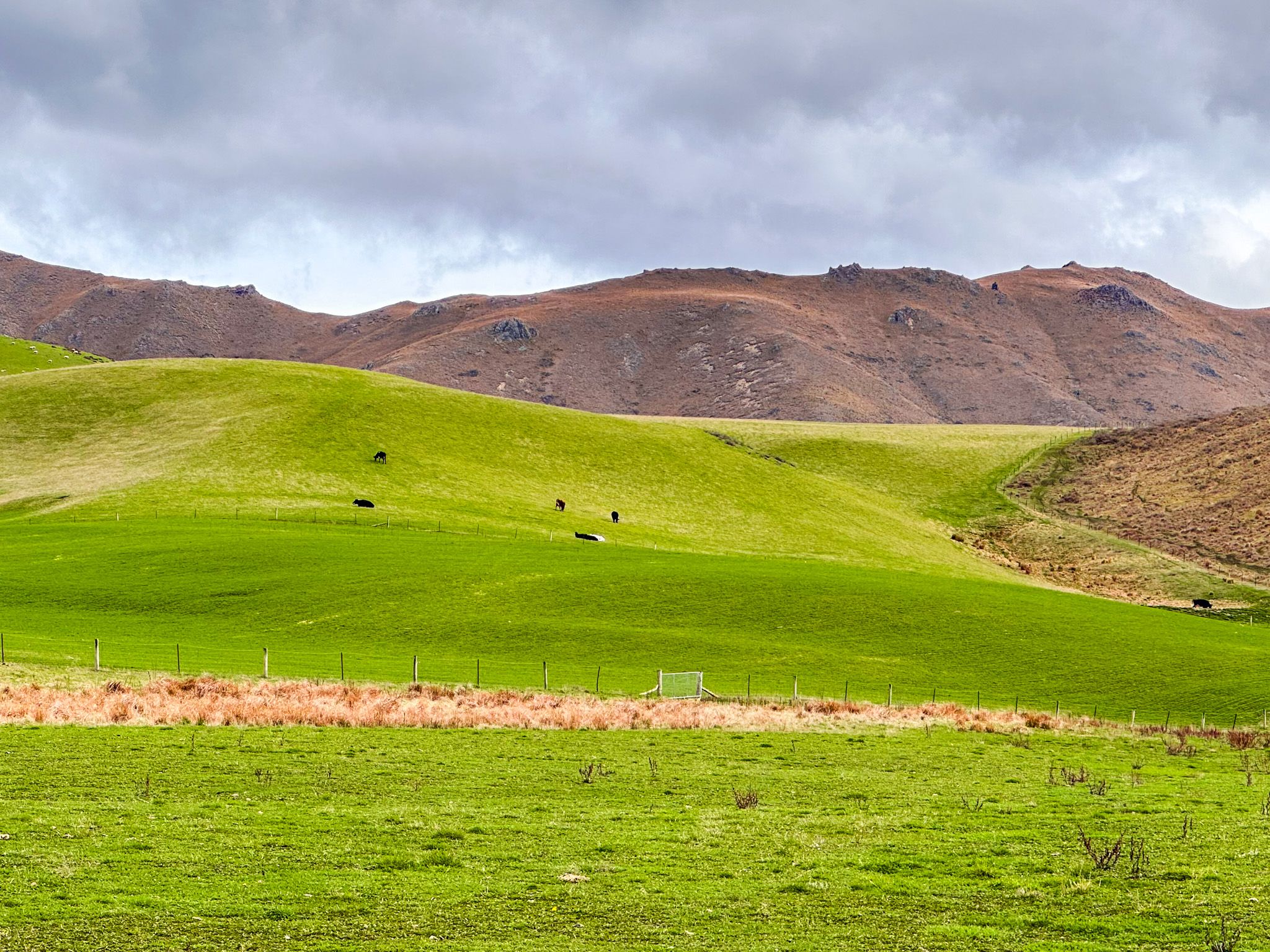
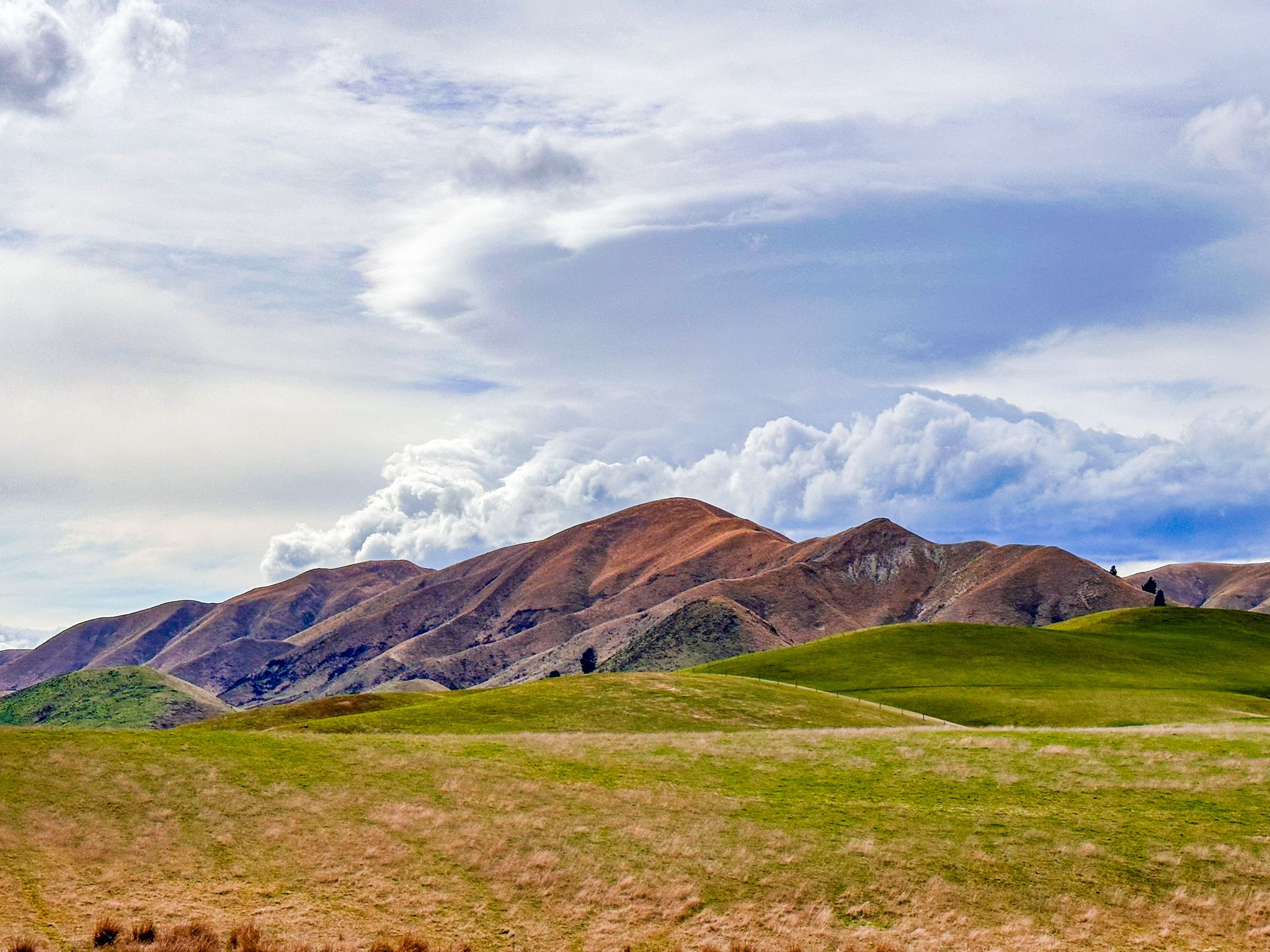
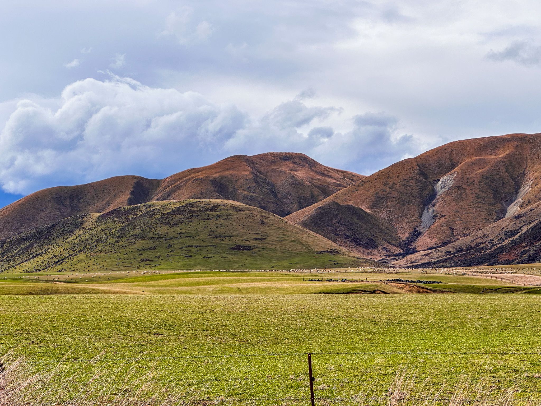
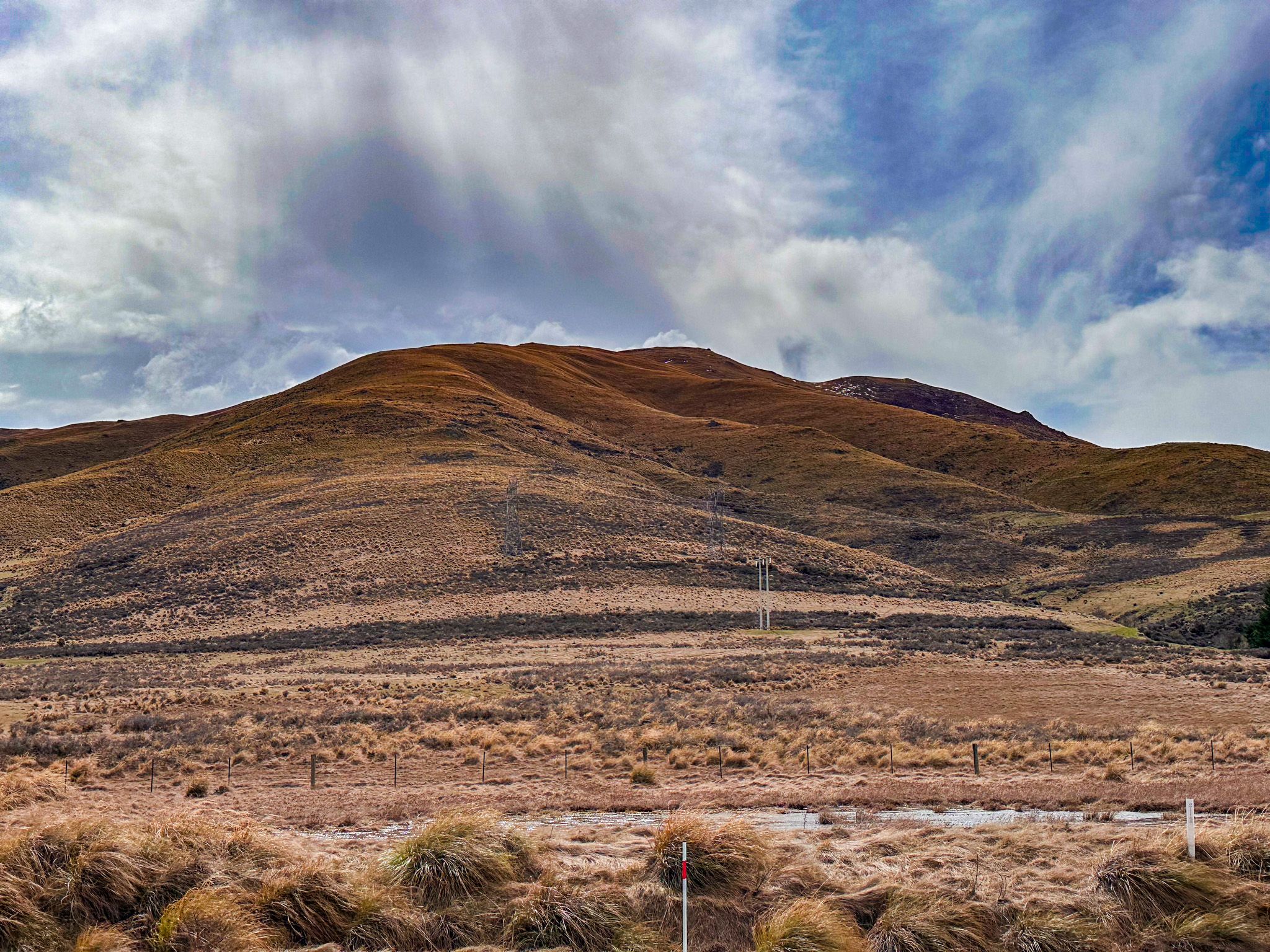
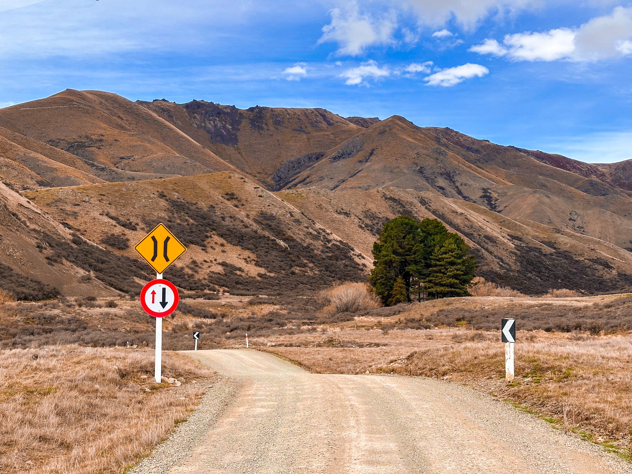
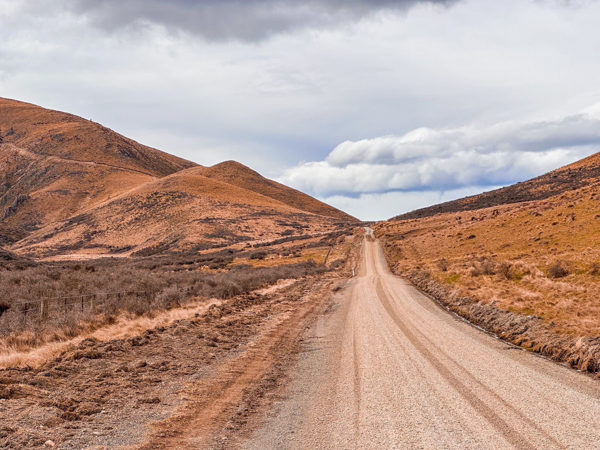
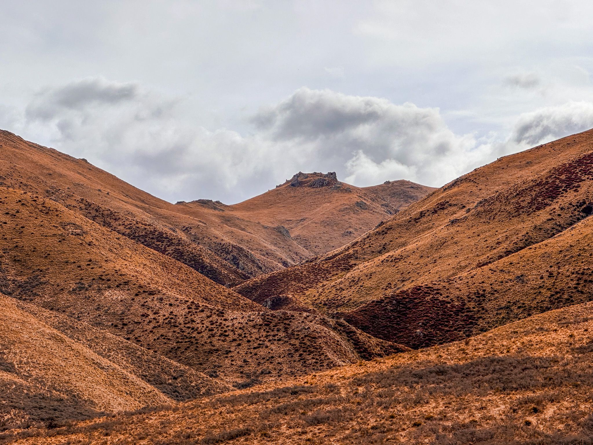
The pass rises to 780 metres on a narrow gravel road, crossing from farmland into high-country tussock. On the west side is the wide, flat Mackenzie Basin at 700 metres. On the east side is the Rollesby Valley at 600 metres, with rich green pasture land. To the east of the valley is the Single Hill Range, up to 940 metres high. Driving across the pass from either direction is equally dramatic, with the landscape shifting from fenced paddocks to weathered gold tussock terrain as you approach the summit.
Historical Significance of Mackenzie Pass
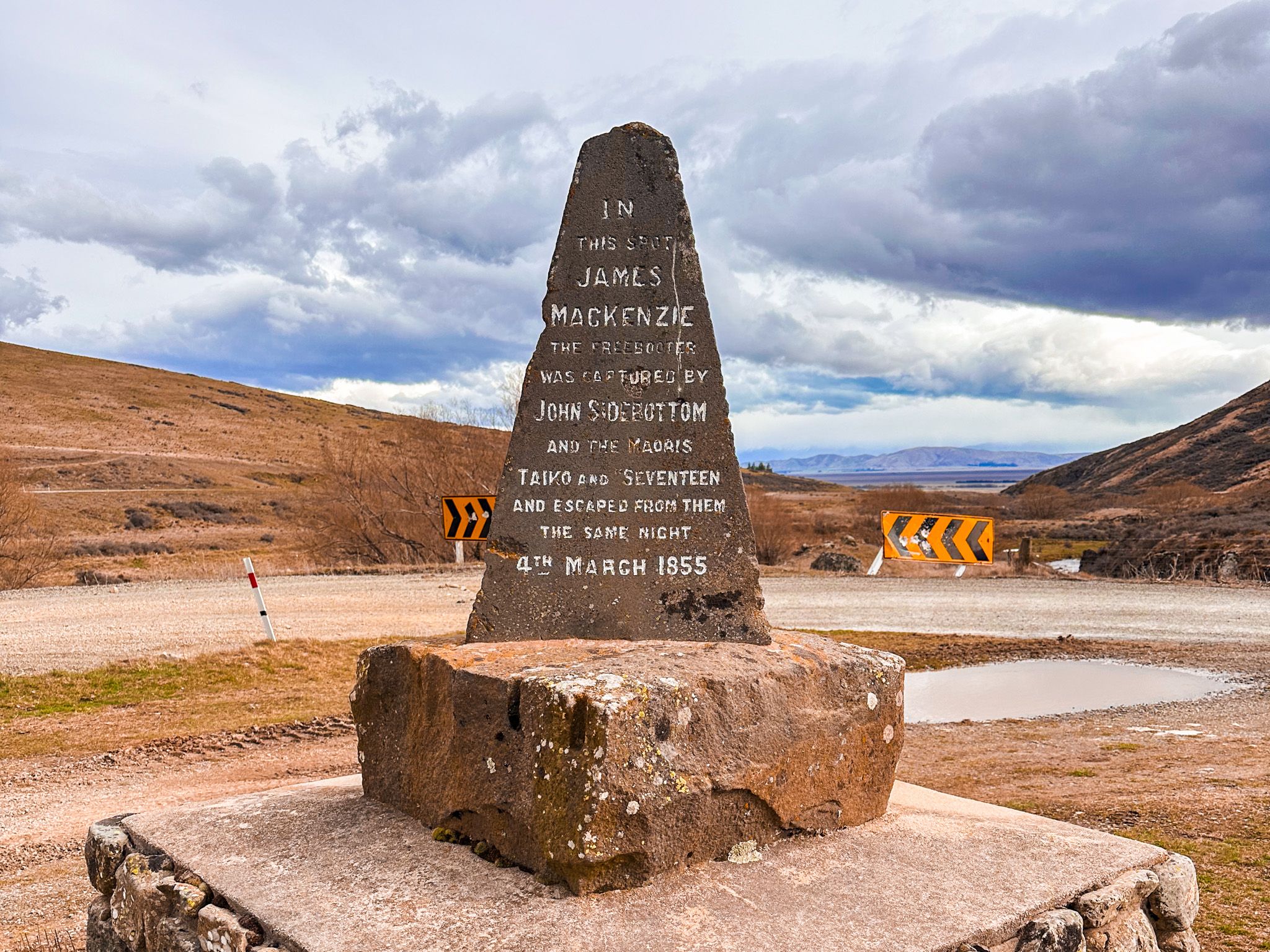
This quiet inland route holds a defining moment in South Island history. In March 1855, shepherds searching for stolen sheep encountered James Mackenzie, a Scottish drover moving a flock over the unnamed pass. Accused of rustling, Mackenzie was arrested, convicted, pardoned, and later departed for Australia. However, his crossing became legendary.
The area was subsequently named the Mackenzie Country, and his journey opened a new route for high-country sheep farming. A stone cairn beside the road marks the site of Mackenzie's arrest, with inscriptions in English, te reo Māori, and Gaelic, a nod to both the accused and his culturally diverse pursuers.
Māori Presence and Place Names
The wider Mackenzie Basin / Te Manahuna is part of the traditional rohe of Ngāi Tahu and its associated hapū. The name Te Manahuna is often interpreted as “the place of enlightenment” or “the high plains,” reflecting the landscape’s elevated, inland nature.
Māori used the region for seasonal mahika kai (food gathering), particularly hunting and gathering weka and tuna (eels). Though European history dominates local monuments, these valleys were long traversed by Māori, linking coastal settlements with inland resources.
How to Get There
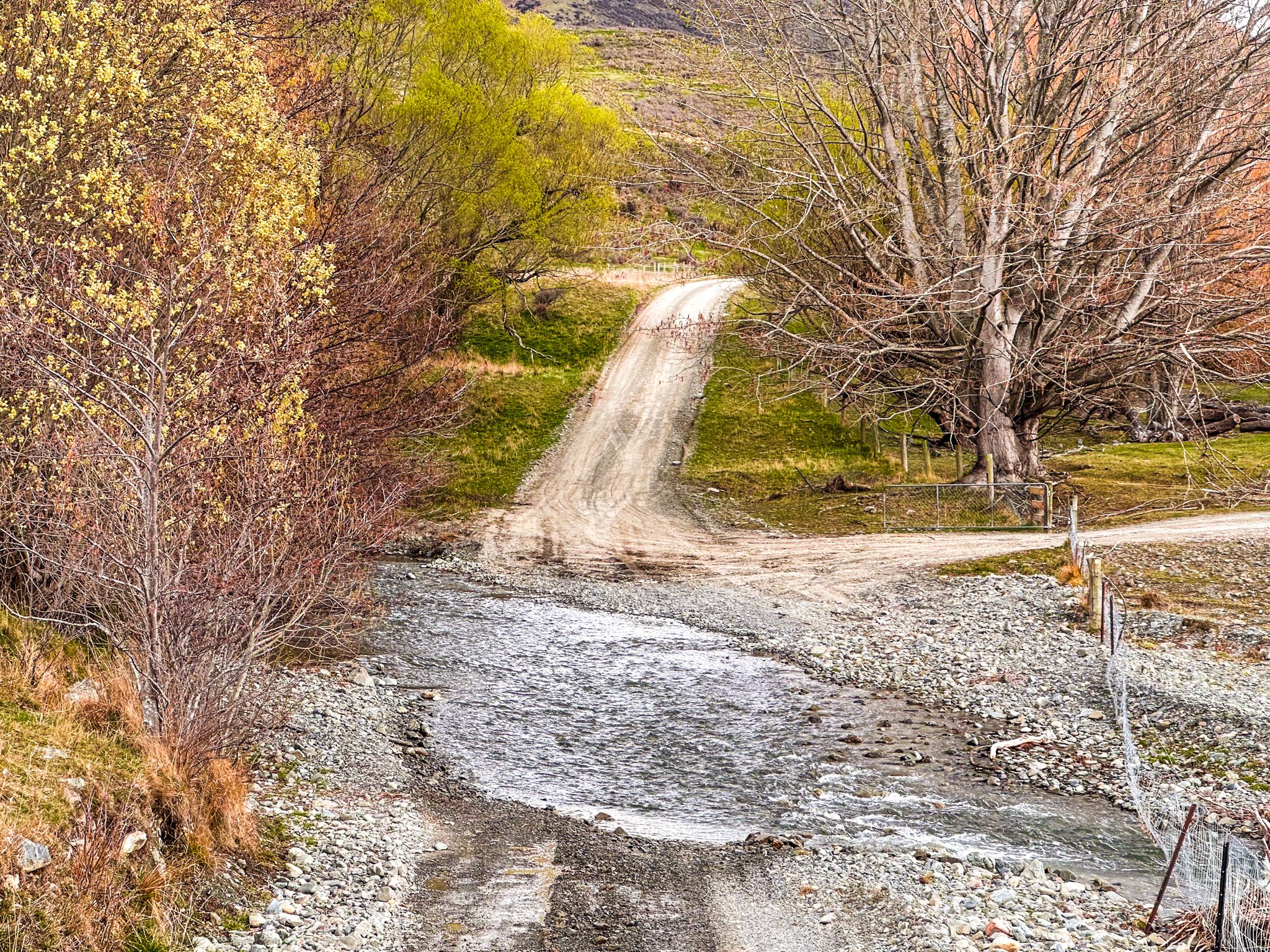
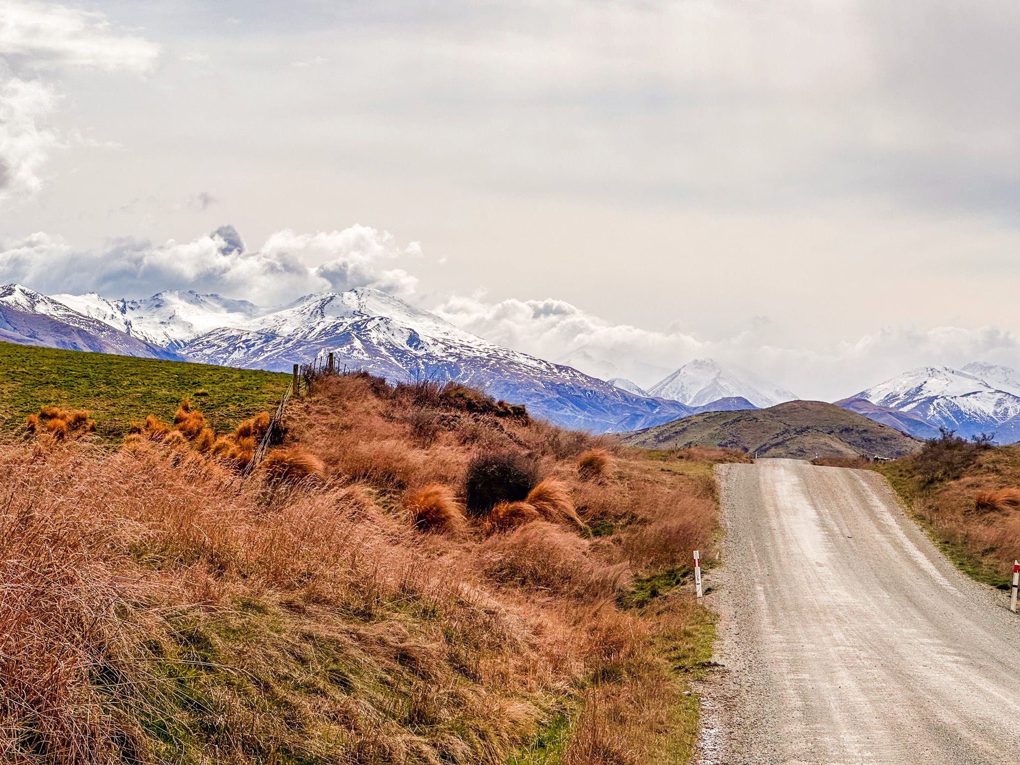
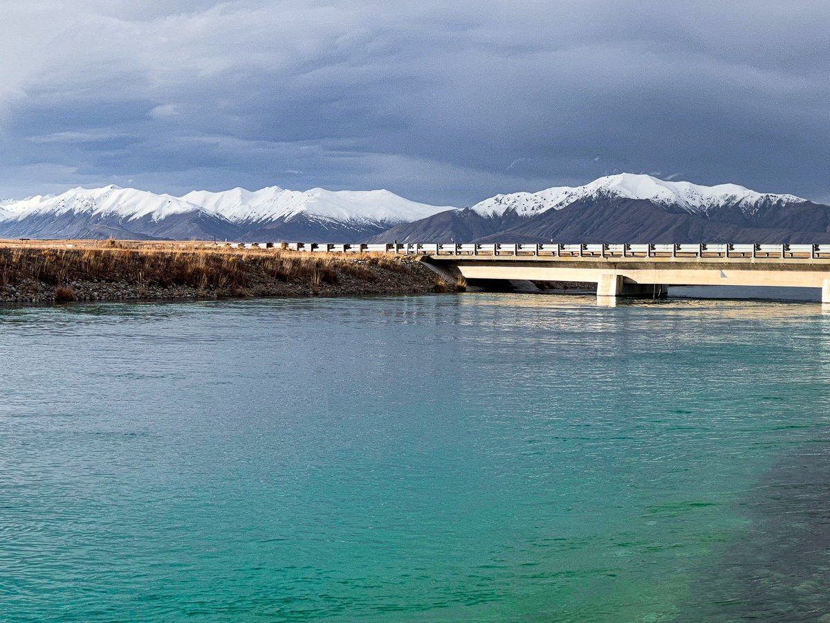
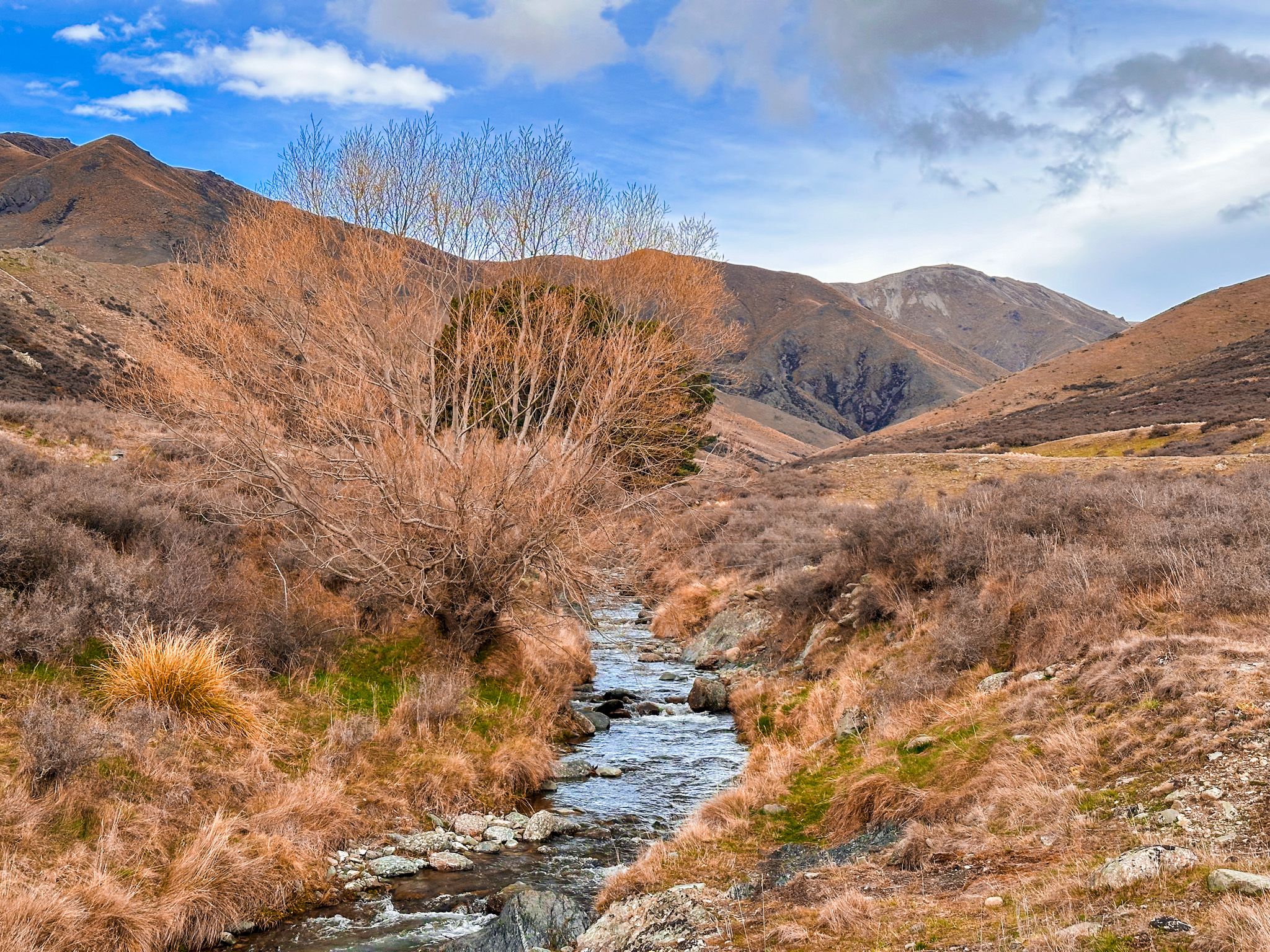
From State Highway 8 near Burkes Pass, turn onto Haldon Road and follow signs southwest toward Lake Benmore. After 14 km, turn east onto Mackenzie Pass Road, a gravel route leading to the pass. Before the summit, you will see the Mackenzie Cairn. From there, the road descends to Lockharts Stream, where a ford provides access in normal conditions; if flooded, a bridge lies a short distance south. After crossing, continue north via Rollesby Valley Road to return to SH8 near Burkes Pass, or take Waratah Road southeast toward Fairlie.
Other nearby places to visit include Lake Tekapo, Mt John, Lake Alexandrina and Lake Pukaki.