Exploring Mussel Point and Its Surroundings
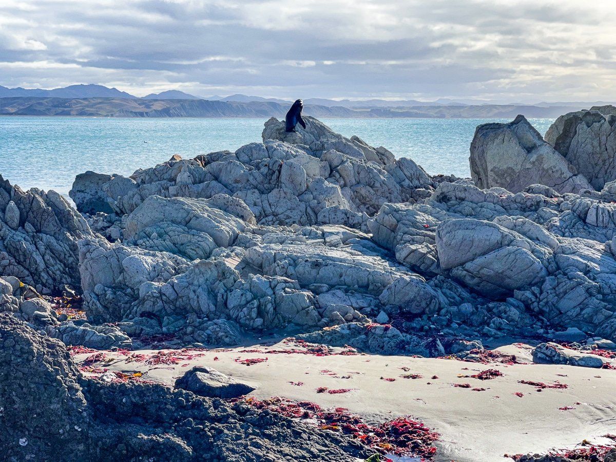
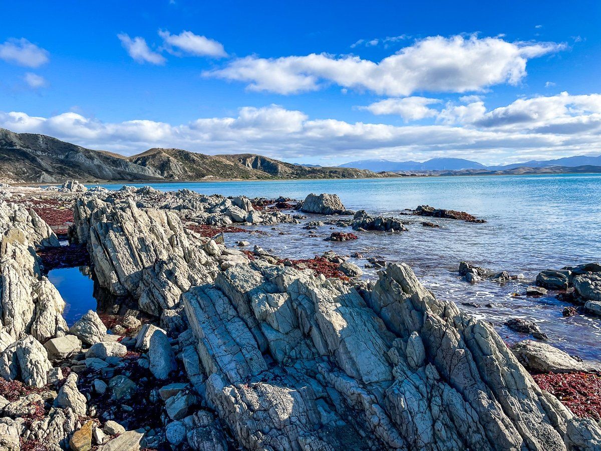
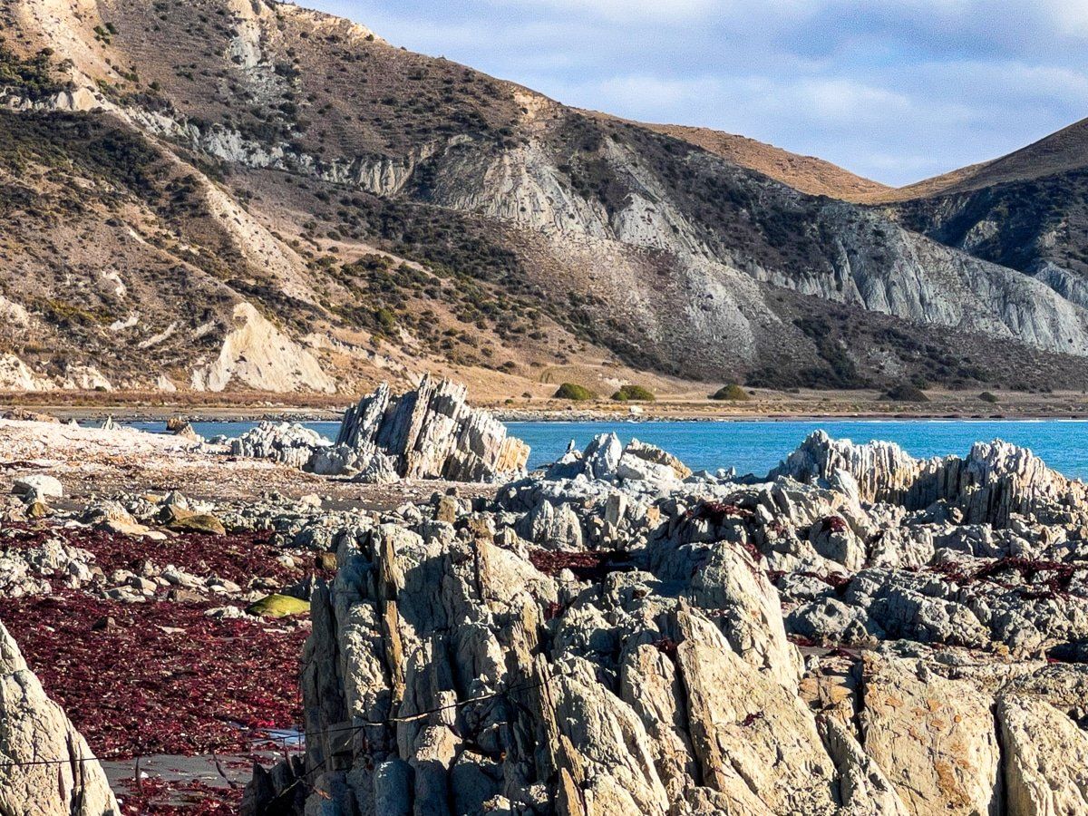
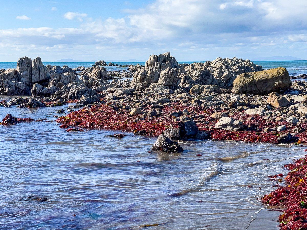
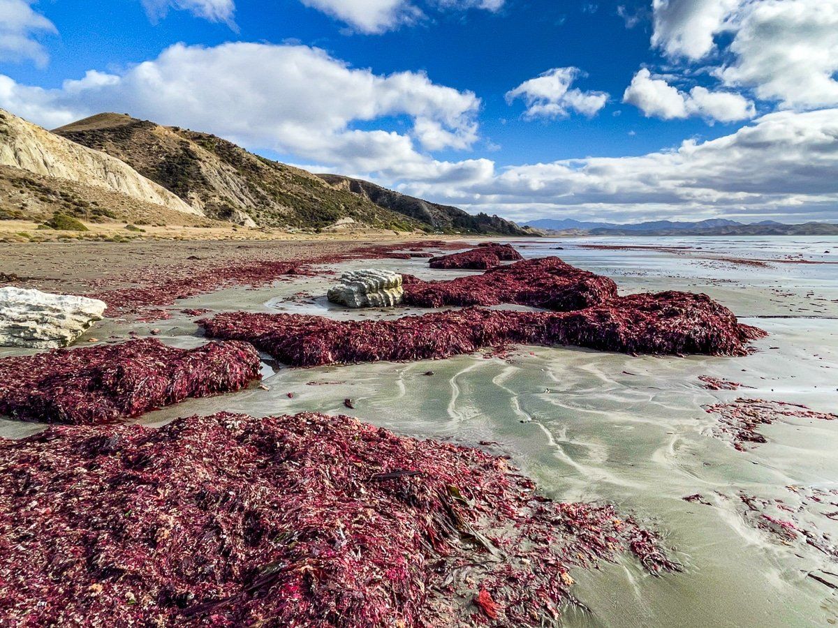
Mussel Point is a rocky headland located between Marfells Beach and an unnamed beach, with Cape Campbell marking its far eastern boundary. This area's rock formations and pools are interesting to explore during low tide. You might even spot a seal basking in the sun or observe a variety of shags in their natural habitat.
Activities and Scenic Views
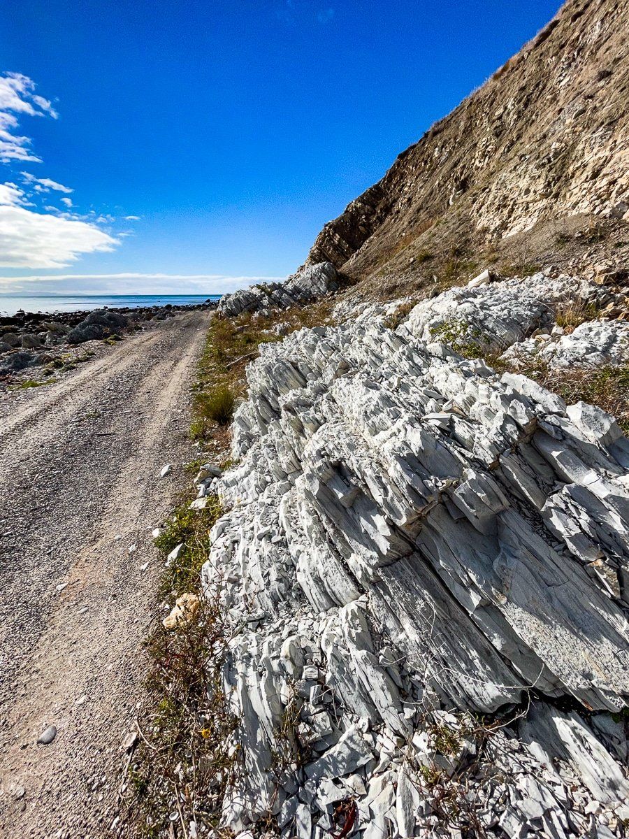
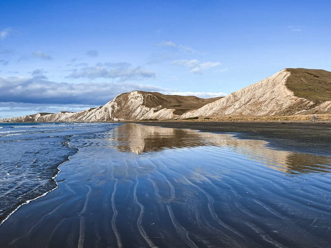
You can reach Mussel Point either by walking from Marfells Beach or using a 4WD vehicle. Once there, you have the option to continue on foot or drive towards Cape Campbell or partway towards Mt Toko, which at 180 metres is the highest point along the eastern cliff face. The views from Mussel Point are remarkable, offering stunning vistas both to the east and west.
The walk from Marfells Beach is around 1.3 km and takes around 25 minutes. Walking to Cape Campbell is another 7 km and takes 2 hours.
How to Get There
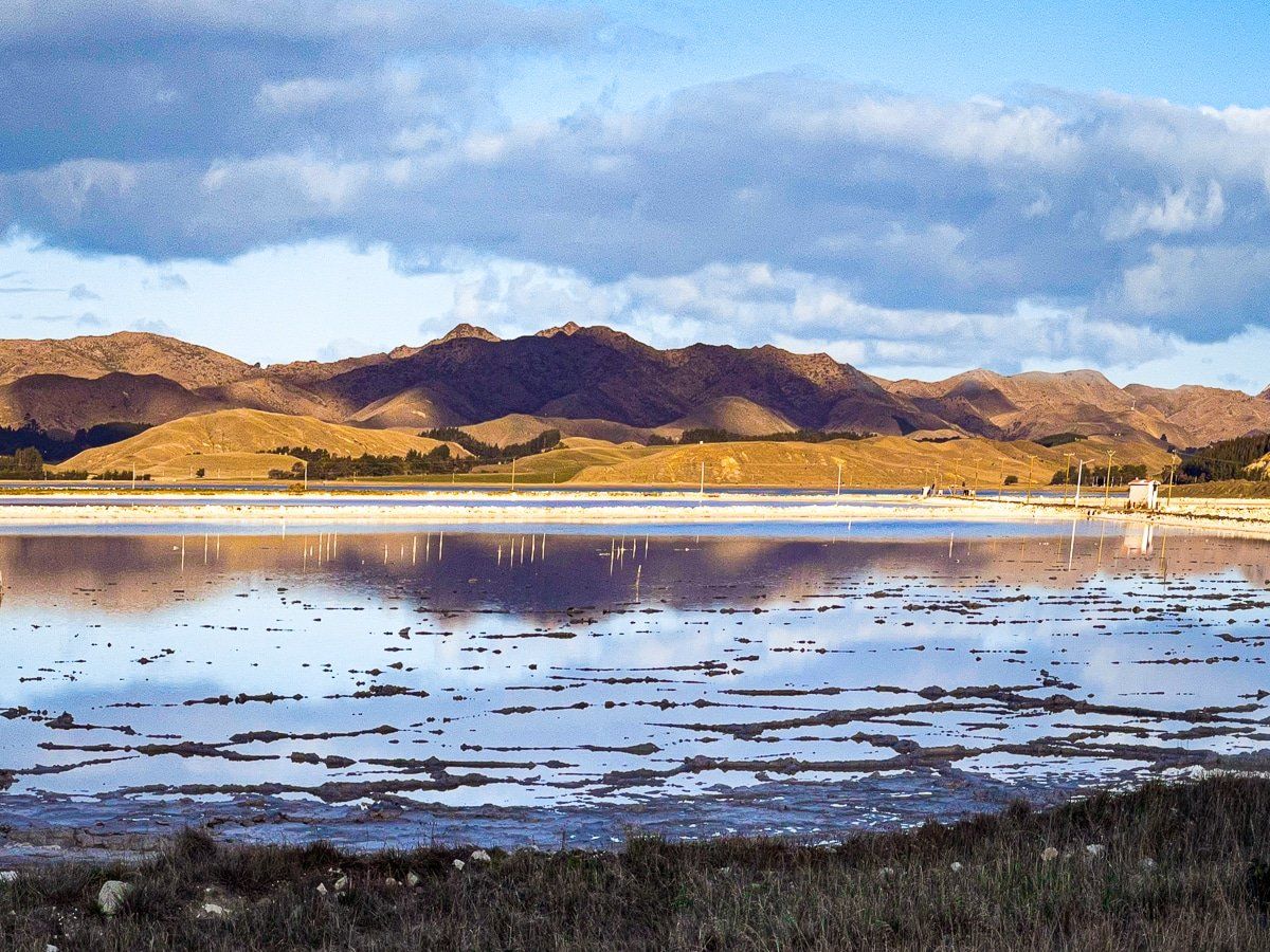
To reach Marfells Beach from Blenheim, take State Highway 1 south past Lake Grassmere, and turn off onto Marfells Beach Road. Follow this to the end, then either walk or drive a 4WD vehicle along the beach to the point.
Nearby, you can also visit the Awatere Valley and the fabulous earthquake uplifted rock formations and boulders at Ward Beach.