Where the Estuary Meets the Sea
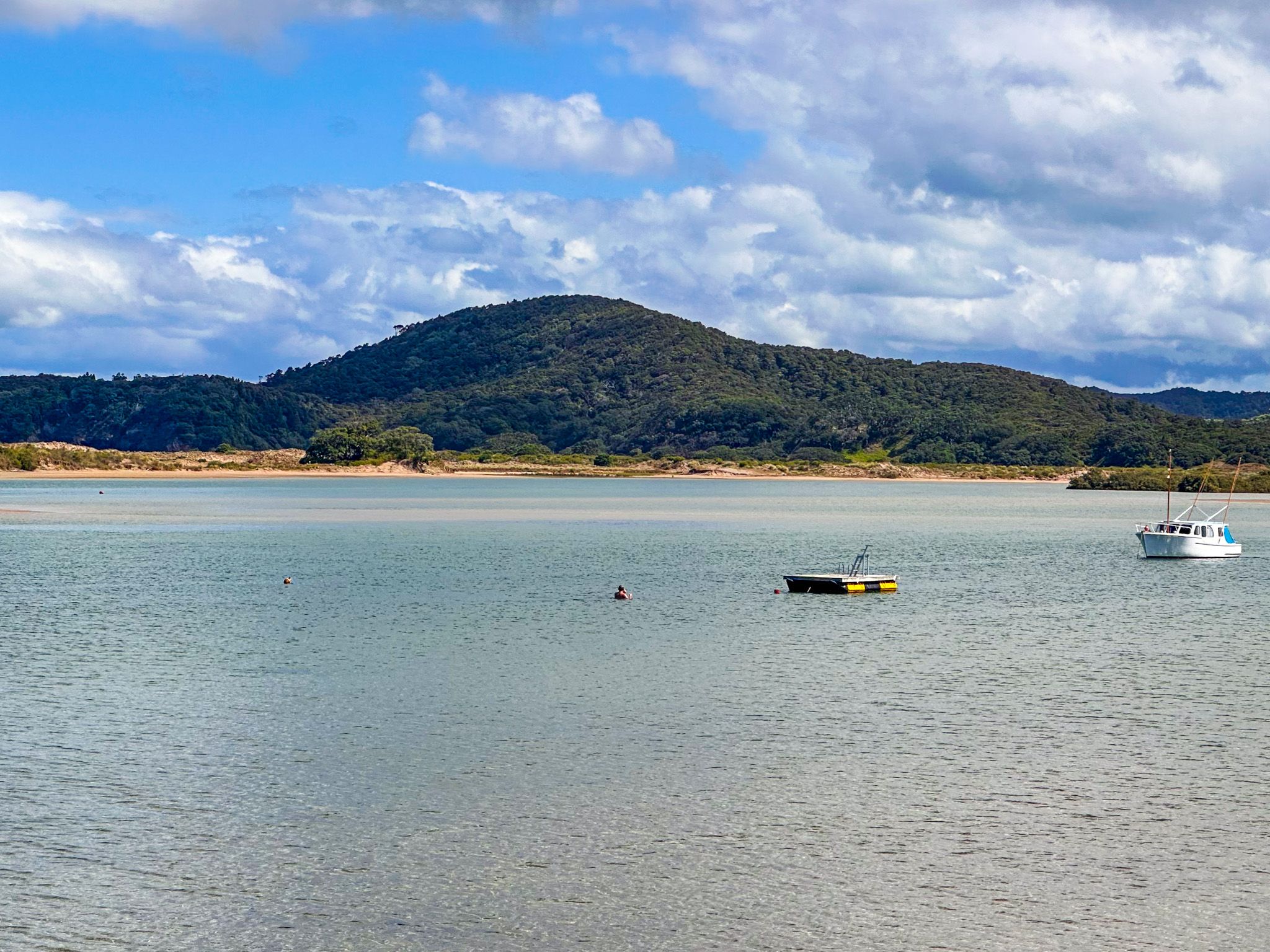
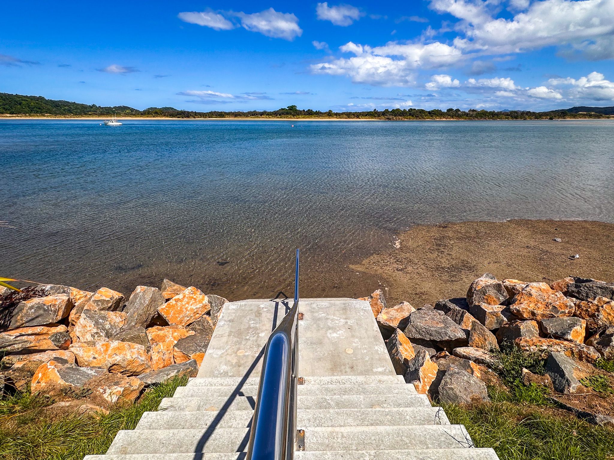
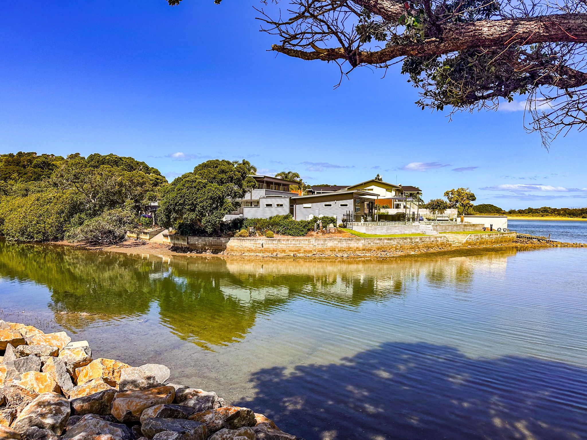
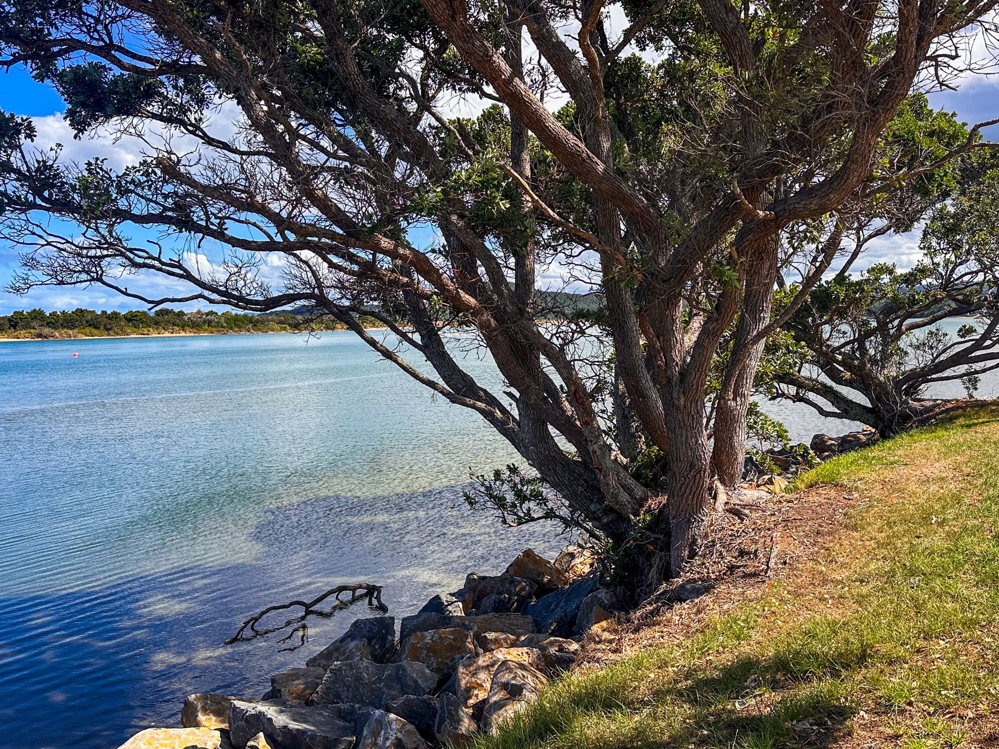
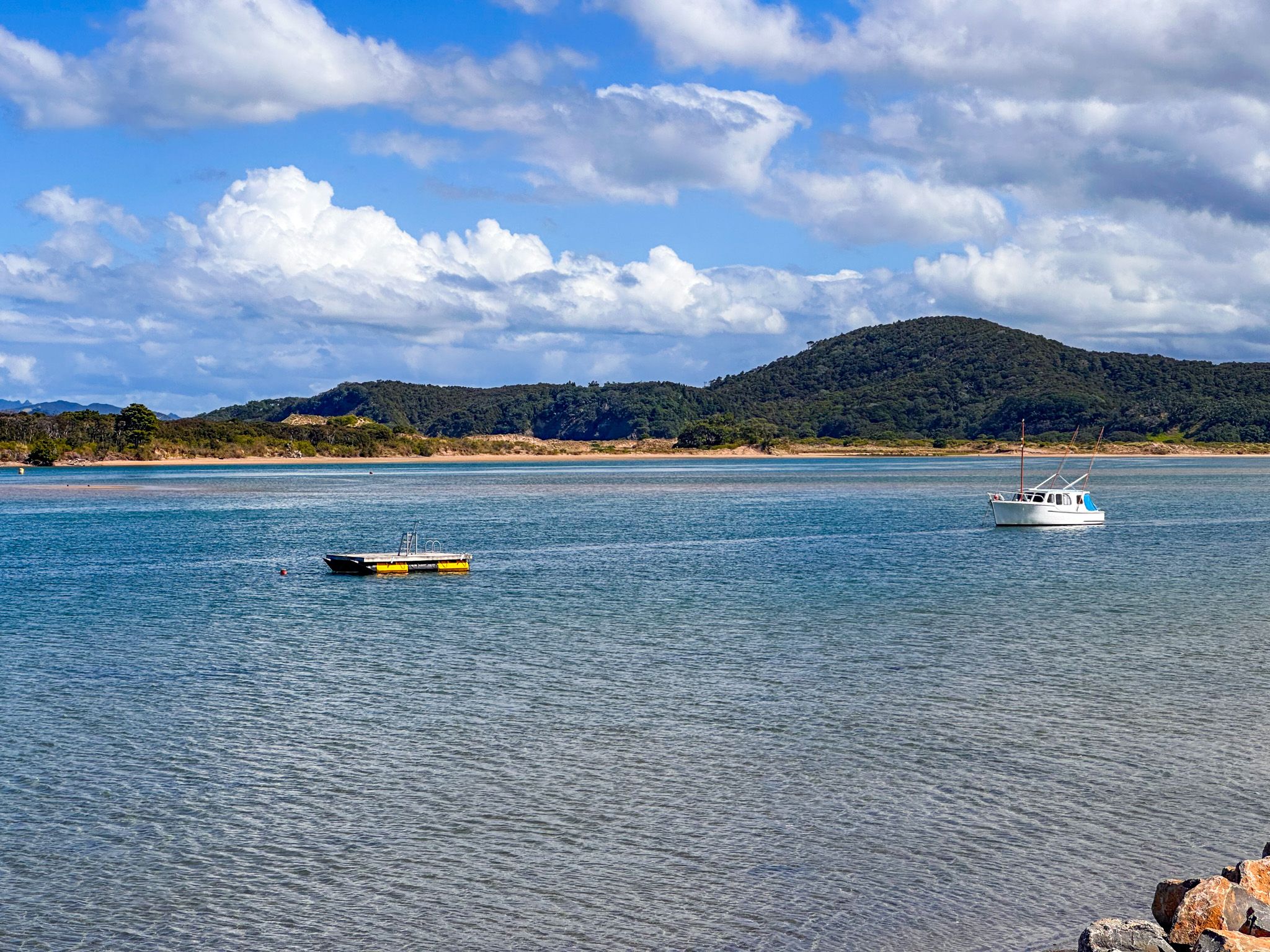
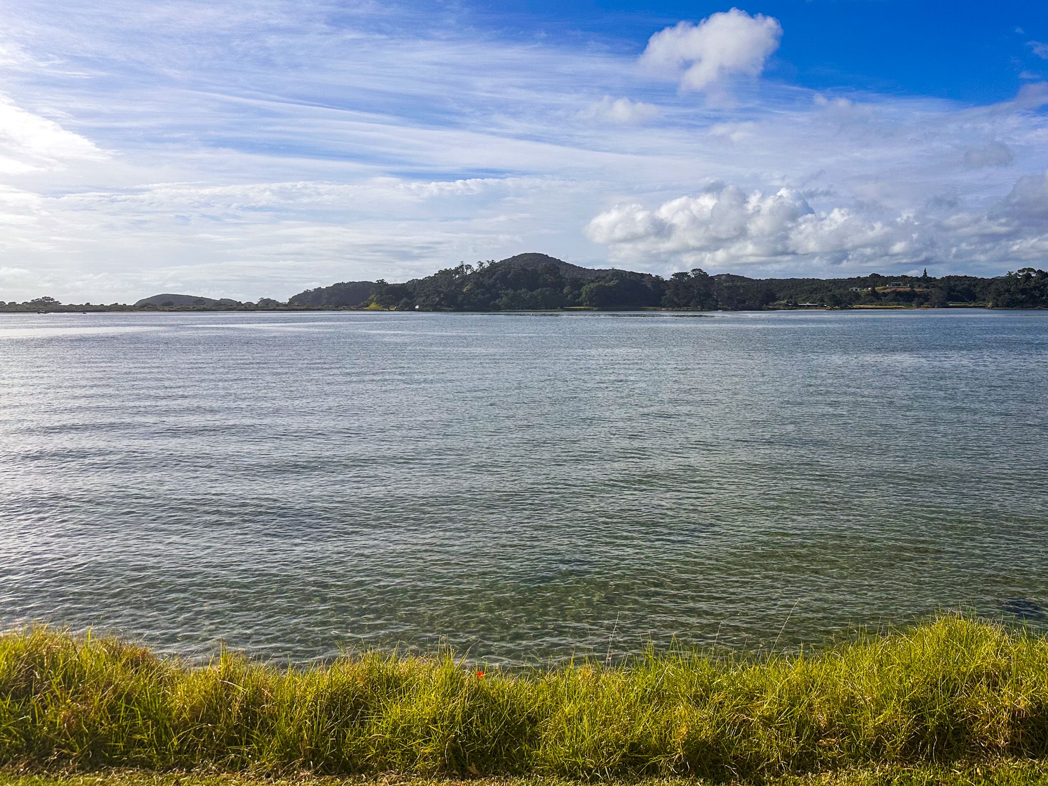
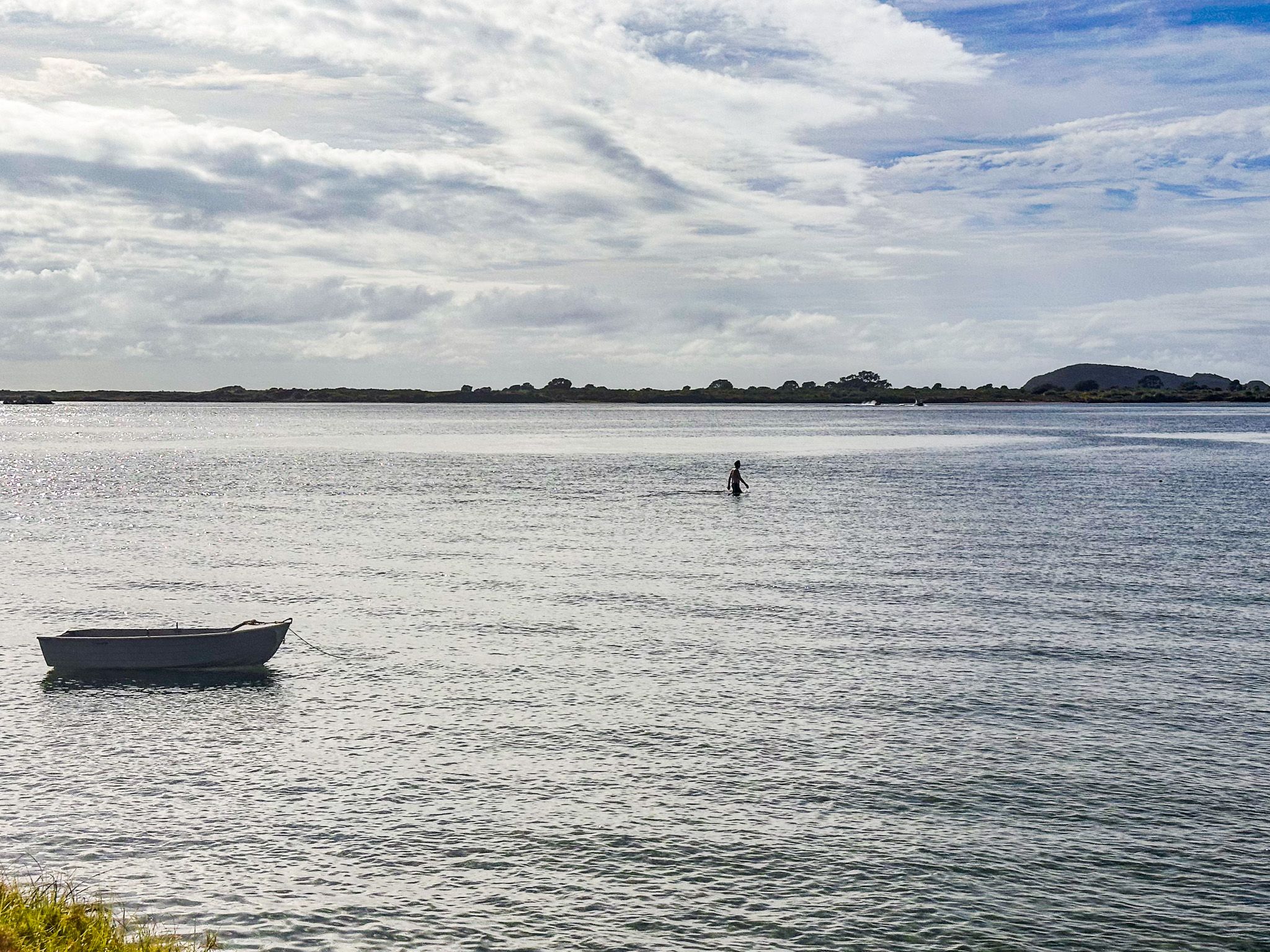
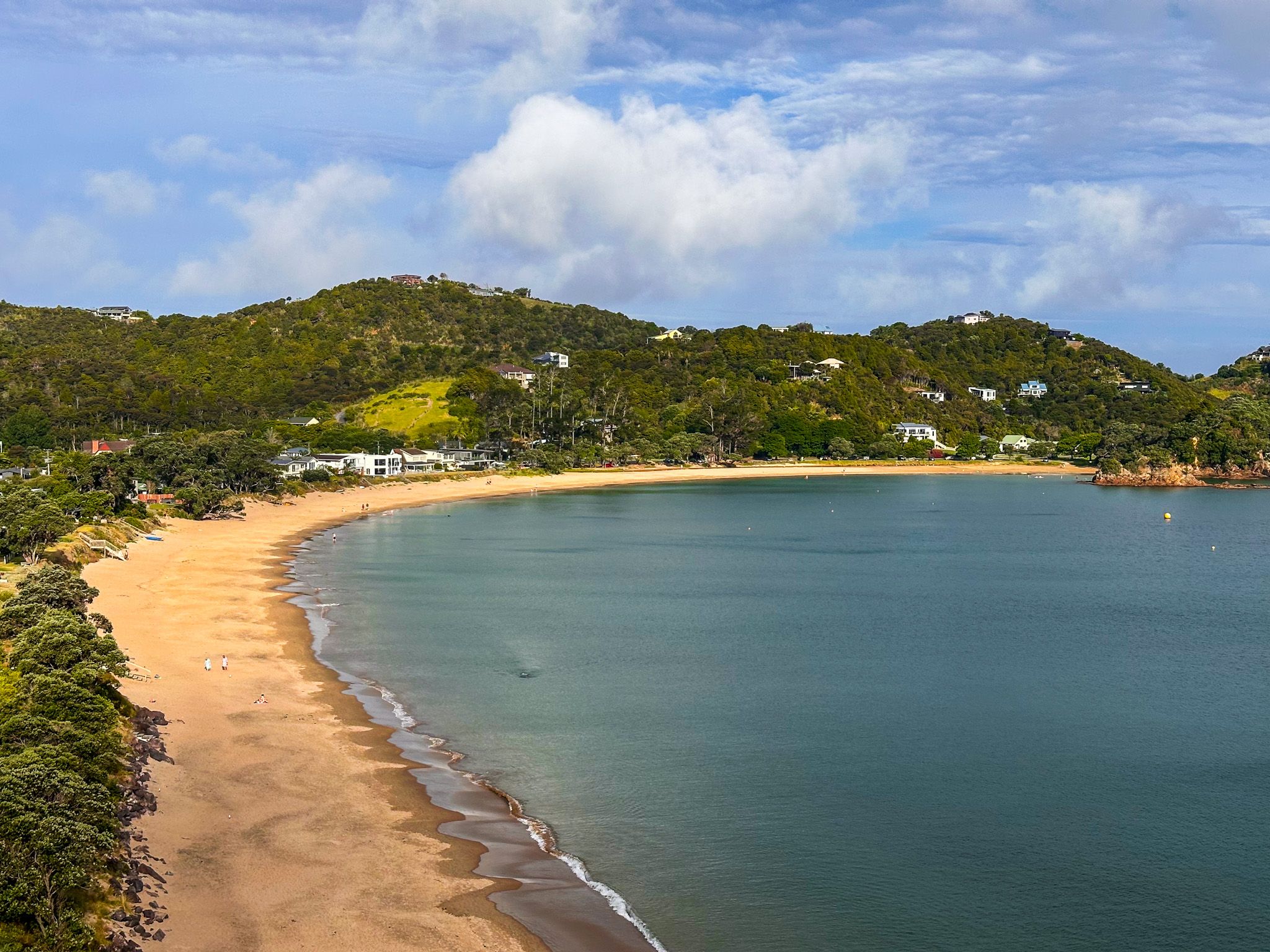
Ngunguru is the main service centre of the Tutukākā Coast in Northland, a coastal settlement 26 km northeast of Whangārei, about five minutes by road from Tutukākā township. The Ngunguru River flows between the township and a long sandy peninsula before opening into Ngunguru Bay. The estuary is tidal, with water rising to the retaining wall at high tide; at low tide, the sandflats stretch wide. It is a calm, unhurried place with a character quite distinct from Tutukākā across the hill.
The Estuary and Sandspit
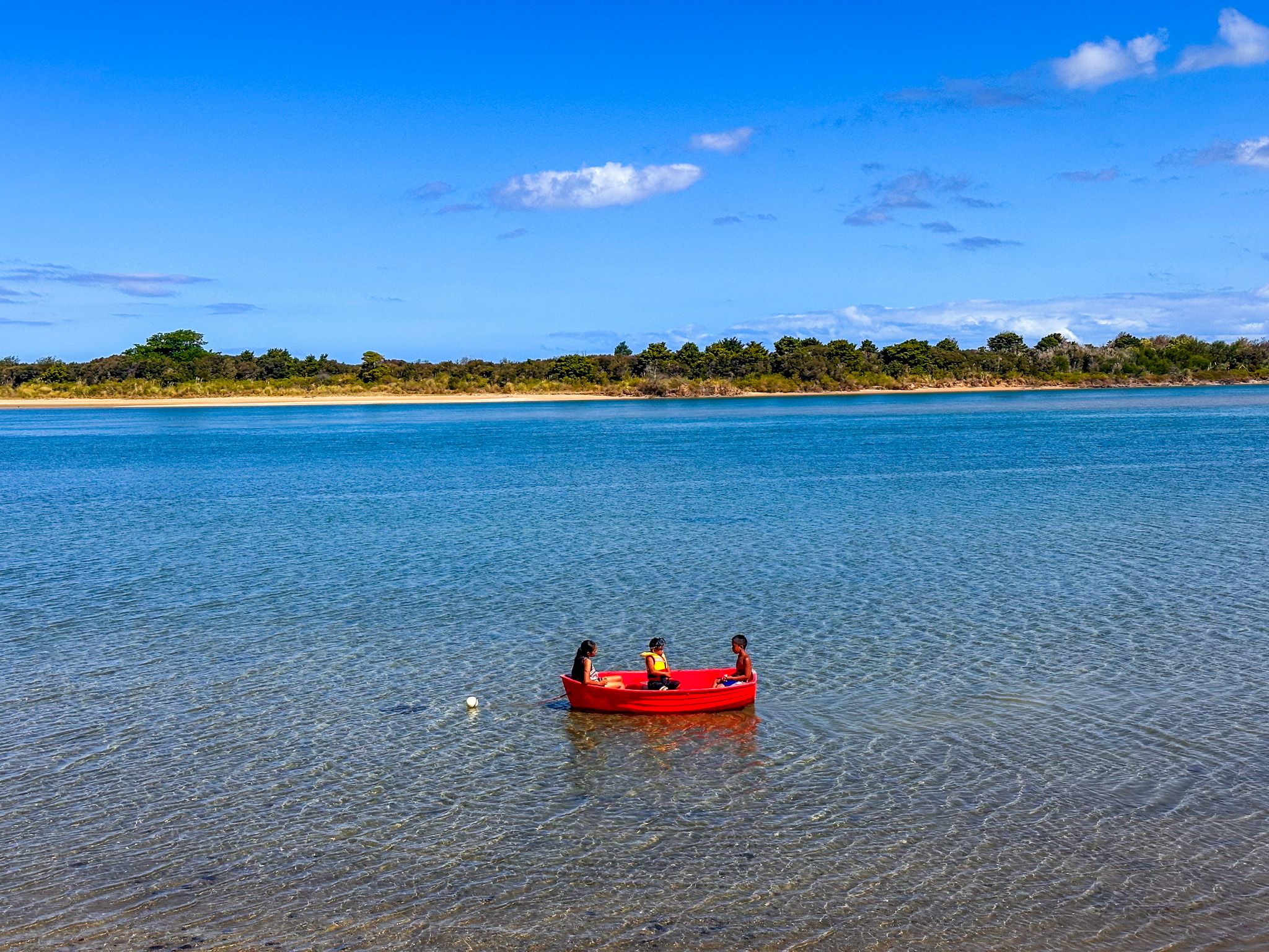
A grass reserve runs along the waterfront, a popular spot for fish and chips while watching the comings and goings of the tide. Royal spoonbills, oystercatchers, and other wading birds are regular sights on the sandflats. The school bell at Ngunguru School rings whenever dolphins enter the harbour: a tradition that draws students out to the water's edge. Kayaking, paddleboarding, and birdwatching are all well-suited to the calm estuary.
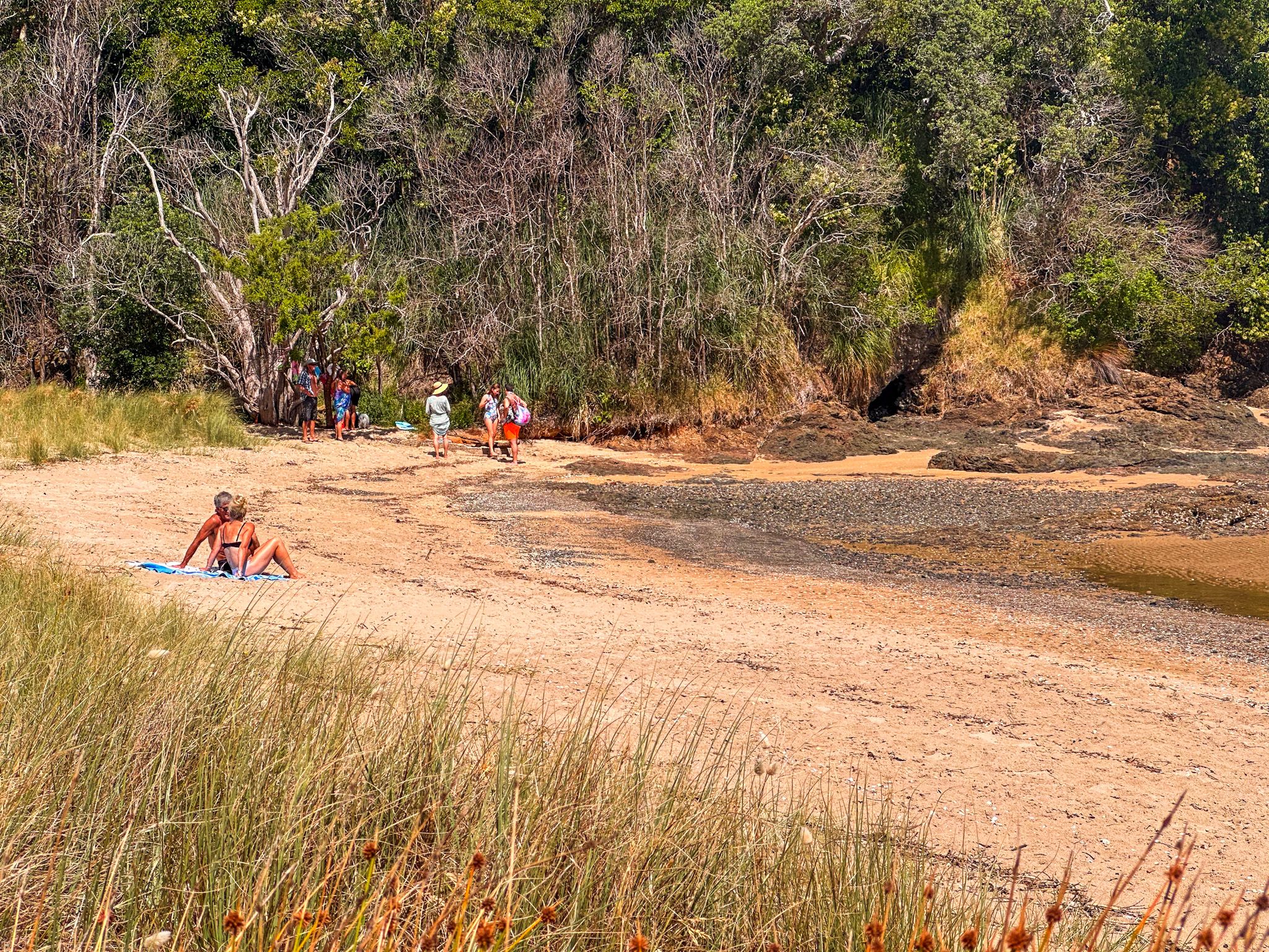
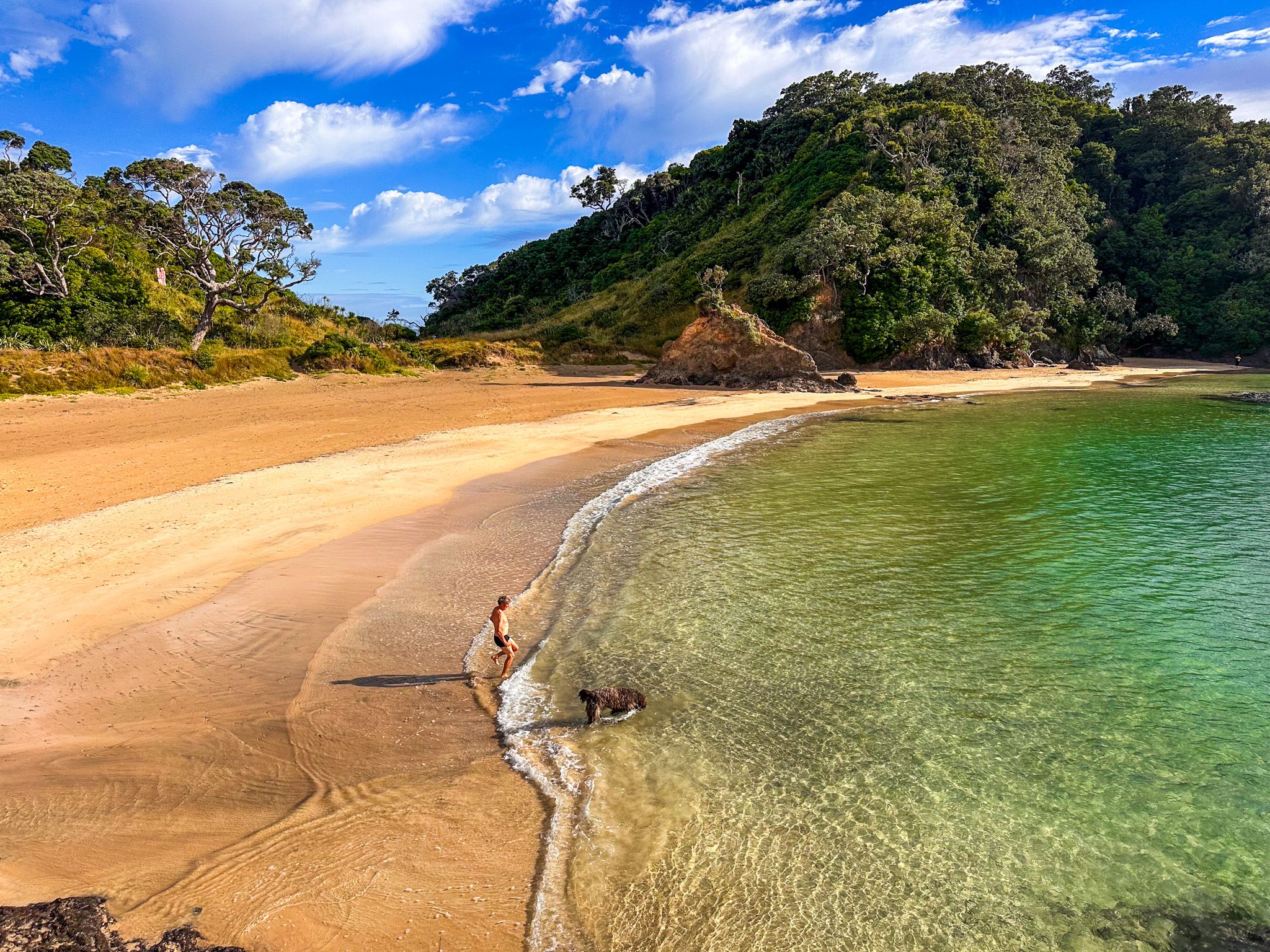
The Ngunguru Sandspit, known as Pi Manu, is an 83-hectare DOC reserve purchased by the Crown in 2011. The ocean side of the spit has a broad beach with tuatua and pipi at low tide. Ngāti Takapari, Te Waiariki, and Ngāti Korora hold ancestral connections to the sandspit. Several threatened species are present, including brown kiwi and NZ dotterel. Crossing the river at low tide, a kayak, paddleboard or other small boat is the easiest way to get there.
Māori Connections
The name Ngunguru means “rumbling tides”, and was given to this place by Puhi, captain of the waka Mātaatua. The waka Tūnui-ā-rangi, also called in here on its journey along the coast. Te Waiariki hapū of Ngātiwai are the tangata whenua of Ngunguru, with pā sites, middens, and burial grounds along the sandspit. In 1832, Waikato forces under Te Wherowhero defeated Te Waiariki in a battle fought on the sandspit, marking the effective end of a long cycle of conflict between Ngāpuhi and Tainui from the Waikato during the Musket Wars. Te Wherowhero later became the first Māori King in 1858.
Walks
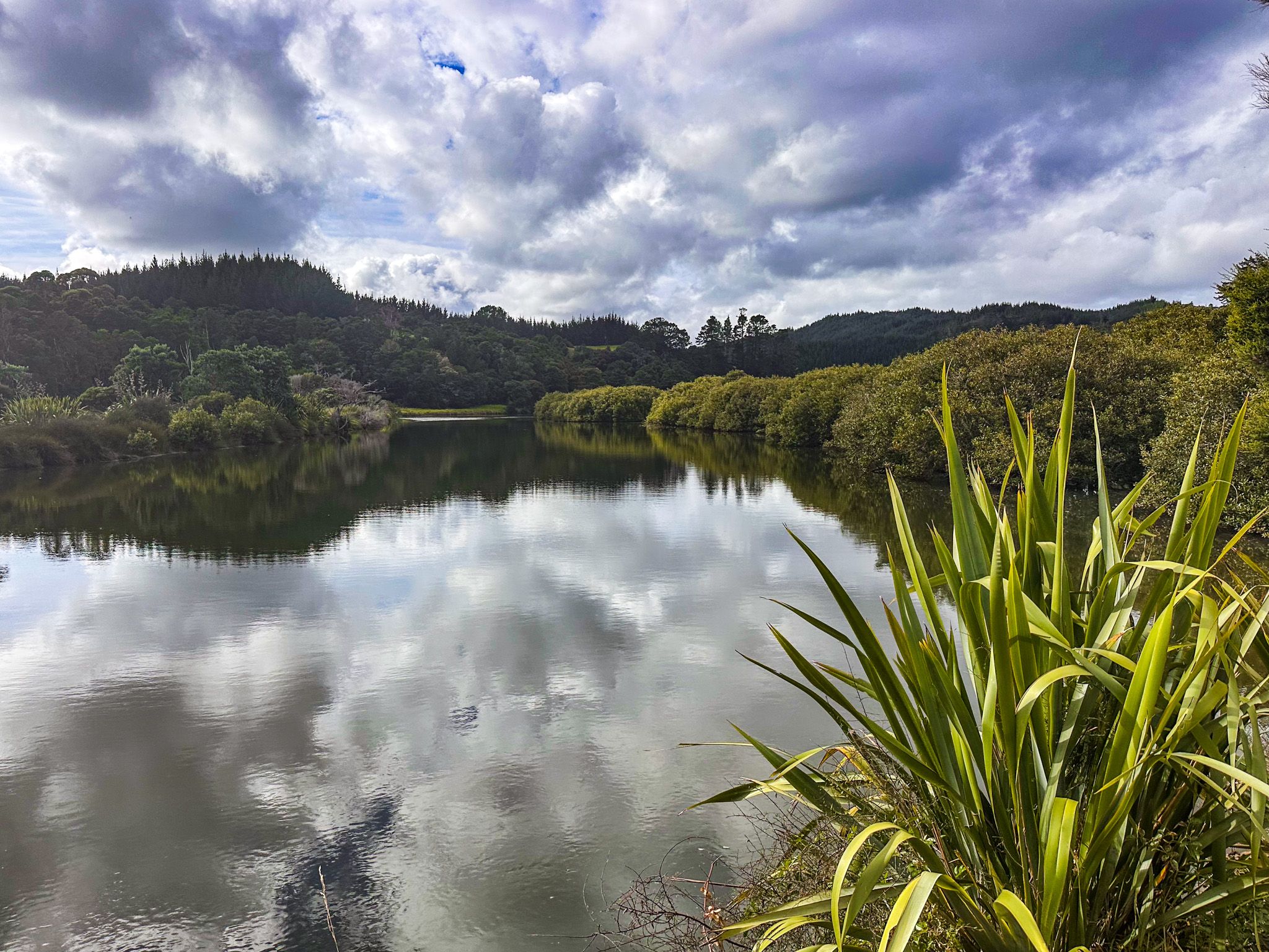
A coastal walk runs along the waterfront reserve and is easy to connect to the Ngunguru Mangrove Walkway, which passes through mangroves behind the town. The Whangaumu Bay Track runs east from Te Maika Road in Kauakarangi Bay along the rocky estuary coast to Whangaumu Bay, a distance of around four kilometres; allow 1 hour each way. At low tide, you can wade partway around the coast to join the track as an option.
A short detour along Waiotoi Road off Ngunguru Road leads to the Tāne Moana Track, a walk through kauri forest; the roadside access is easy to miss, and parking is very limited.
Facilities
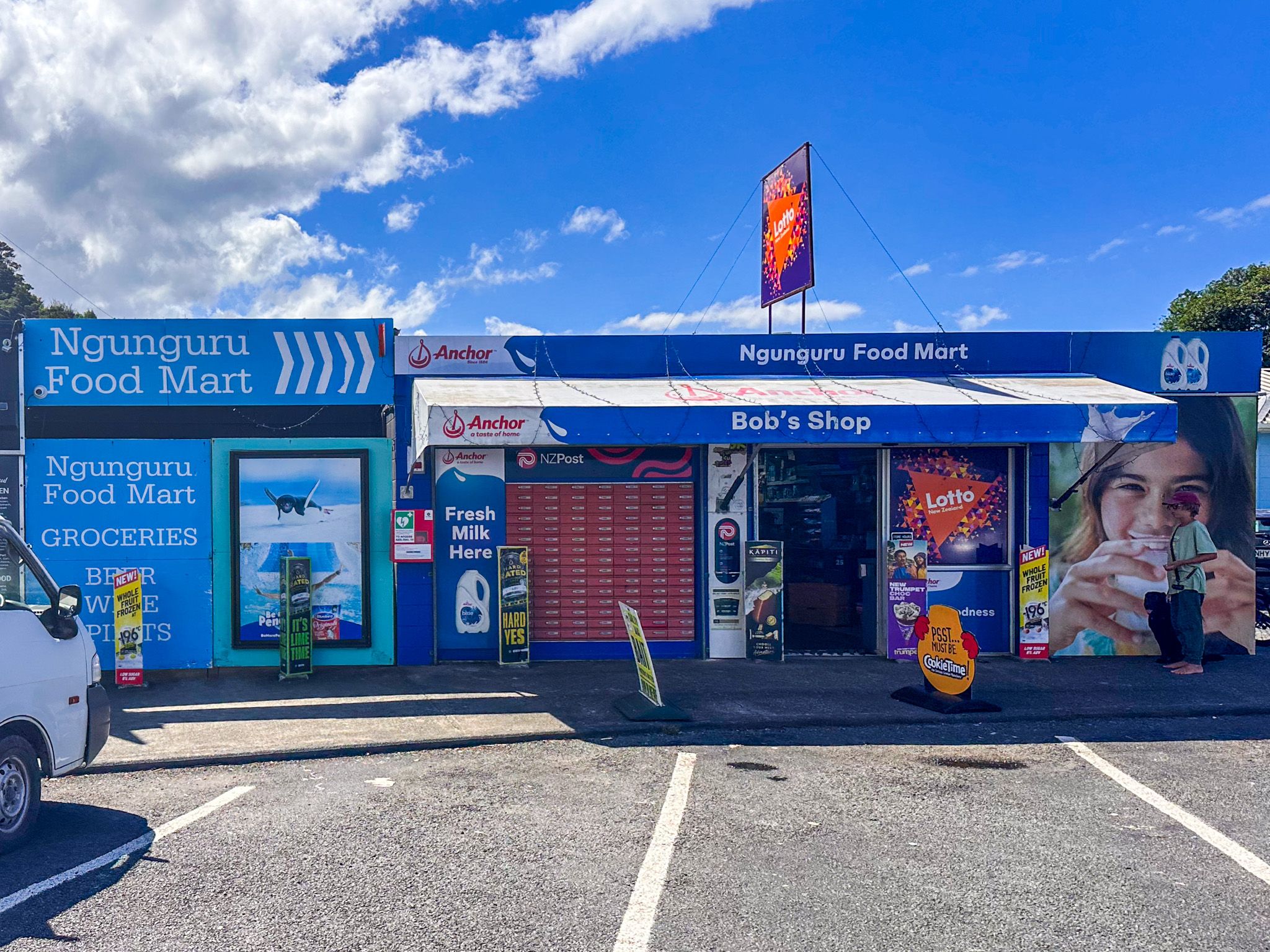
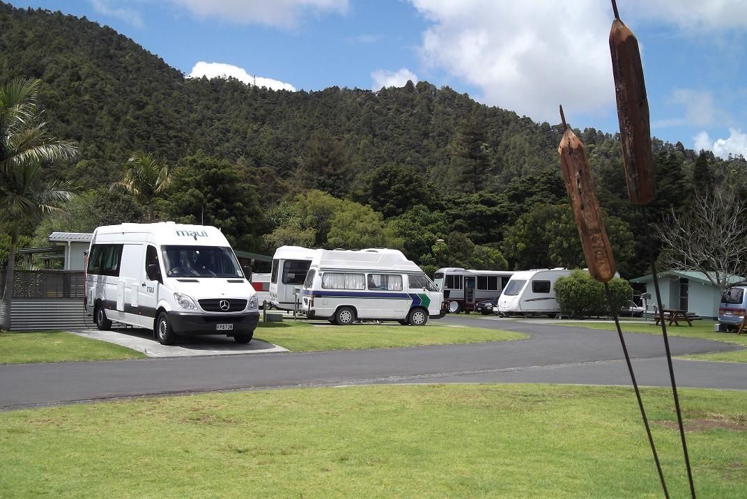
Ngunguru has a Foodmart, takeaways, Salt Air bakery and café, a hardware store, a medical centre, an art gallery, pottery studios, and a nine-hole golf course. Public toilets are outside the school. Freedom camping is available at the library car park. Accommodation is limited: book ahead in summer.
How to Get There
From Whangārei, follow the Twin Coast Discovery Highway northeast through Tikipunga, past Whangarei Falls, approximately 27 km to Ngunguru. Allow 30 minutes. From Auckland, allow around 2.5 hours, 185 km.
Nearby, you can also visit Church Bay, Kowharewa Bay and walk the Tutukākā Track.