A Coast Like No Other
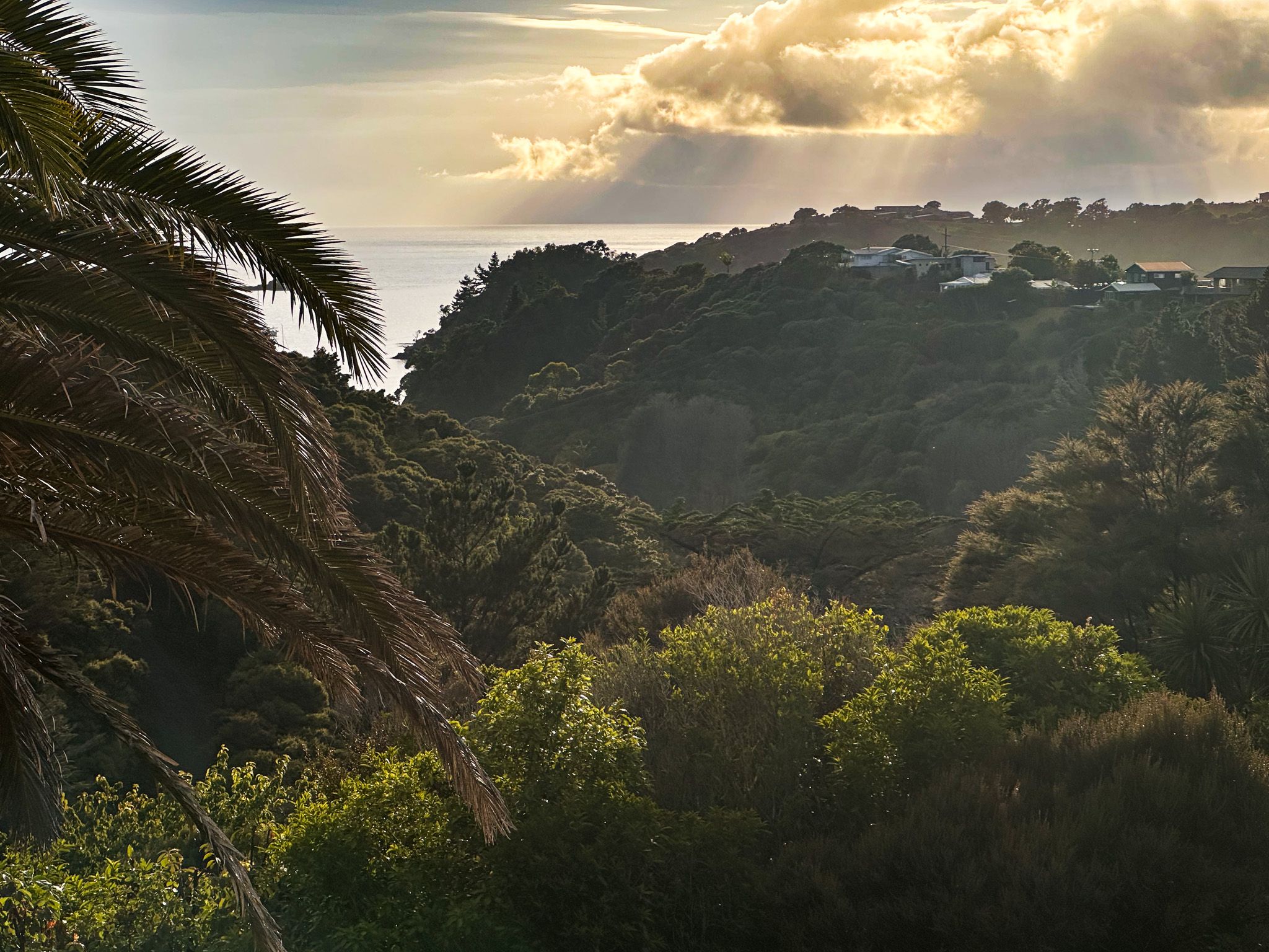
The Tutukākā Coast stretches along the east coast of Northland, roughly 28 to 30 kilometres northeast of Whangārei. Rocky headlands, natural harbours, white to gold-sand beaches, and pōhutukawa-fringed coves follow one after another, with the Poor Knights Islands visible offshore on clear days. The coast retains a distinctly local character: small communities, a working marina, and a pace that has not been entirely swept up by tourism.
Ngunguru and Kauakarangi
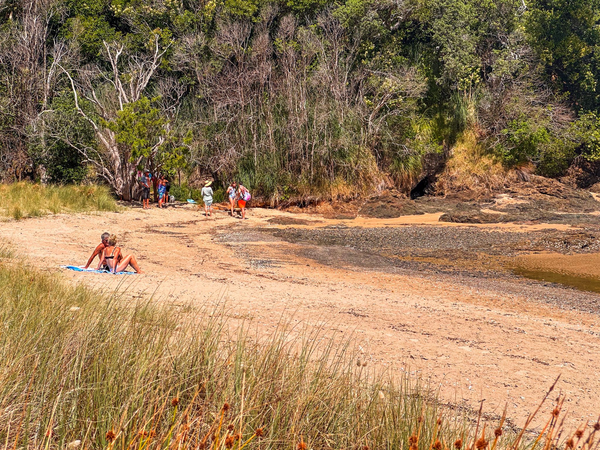
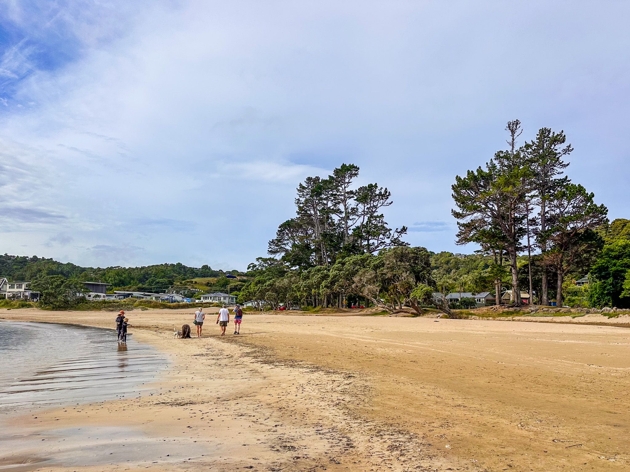
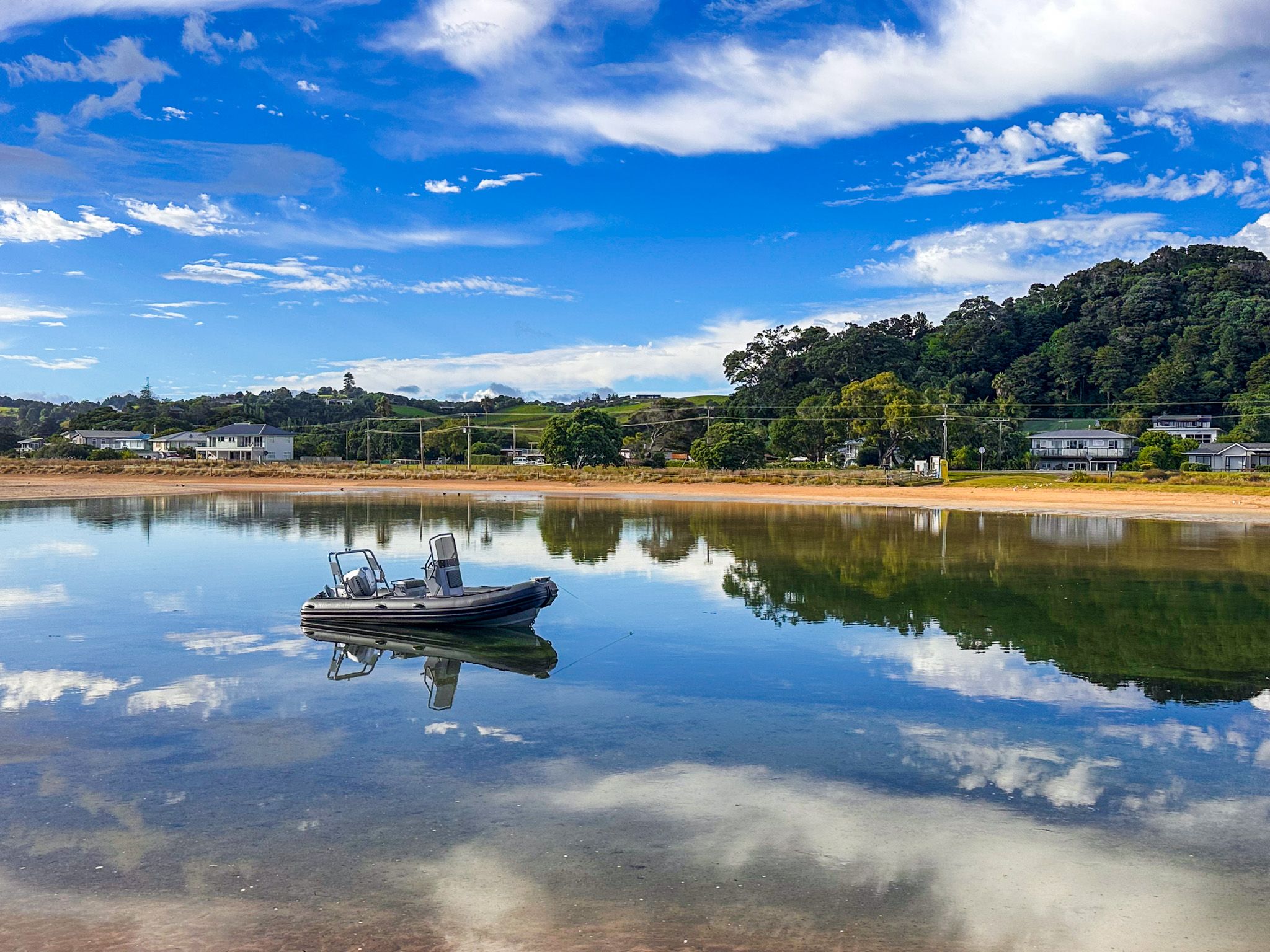
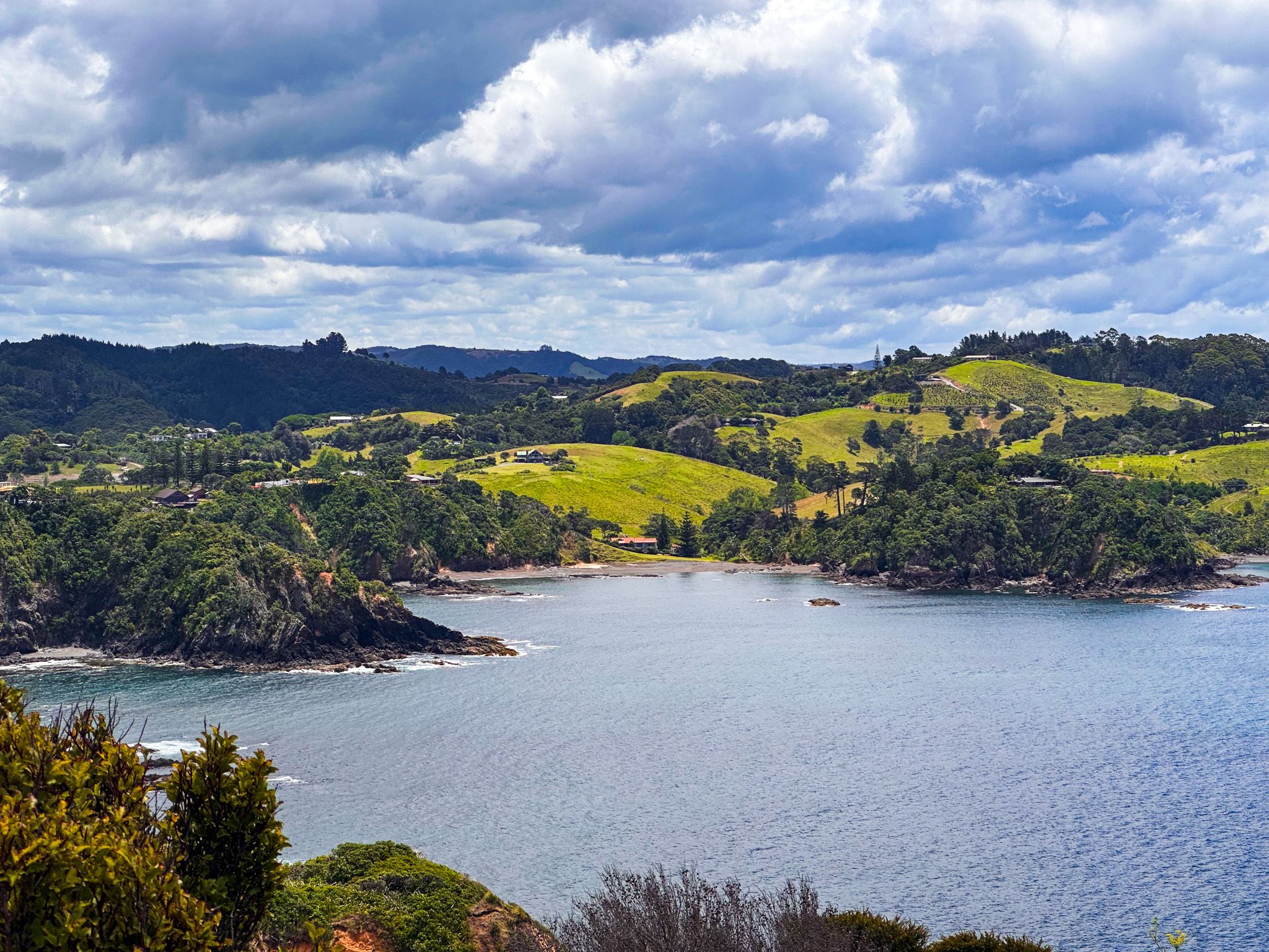
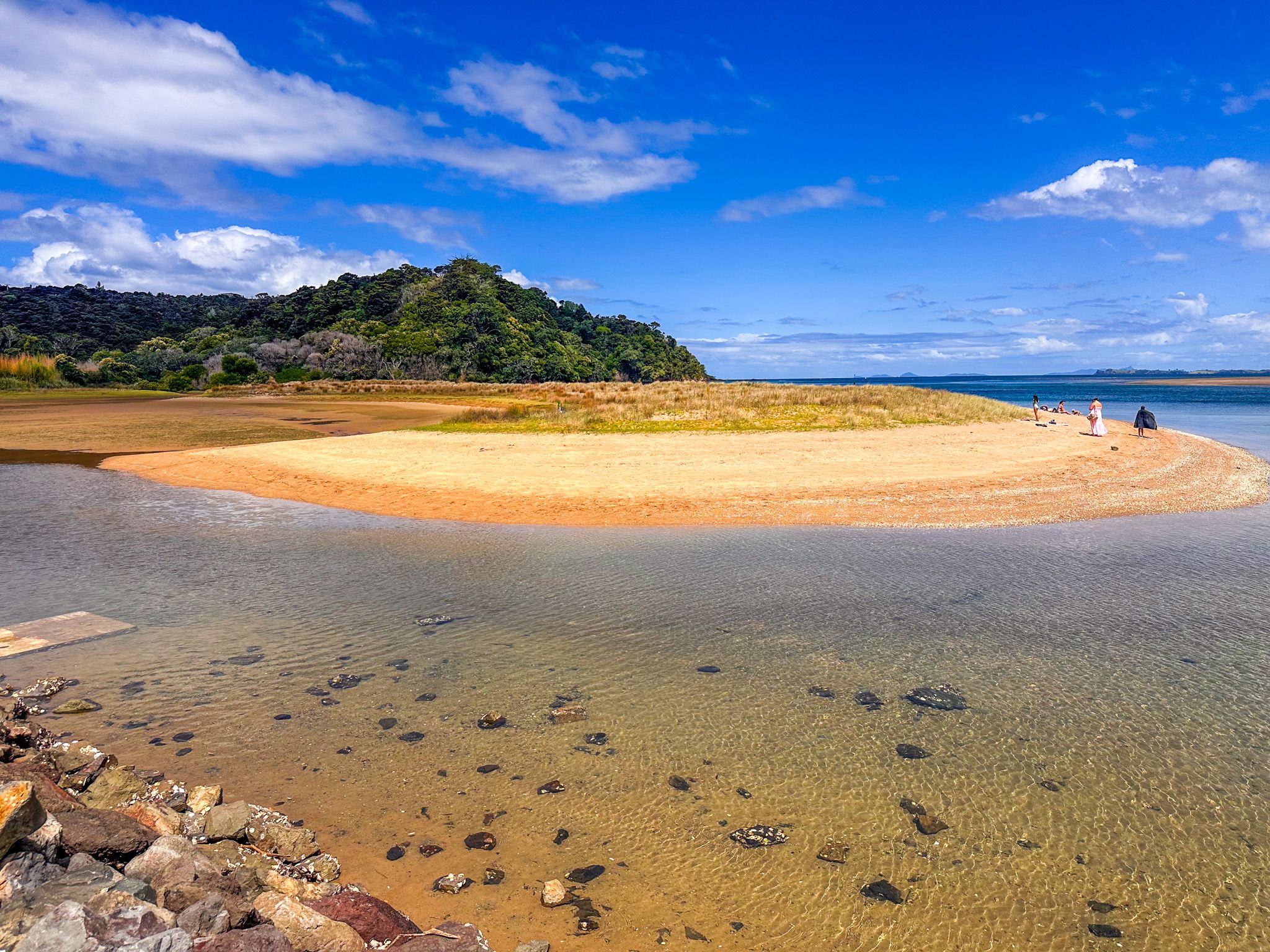
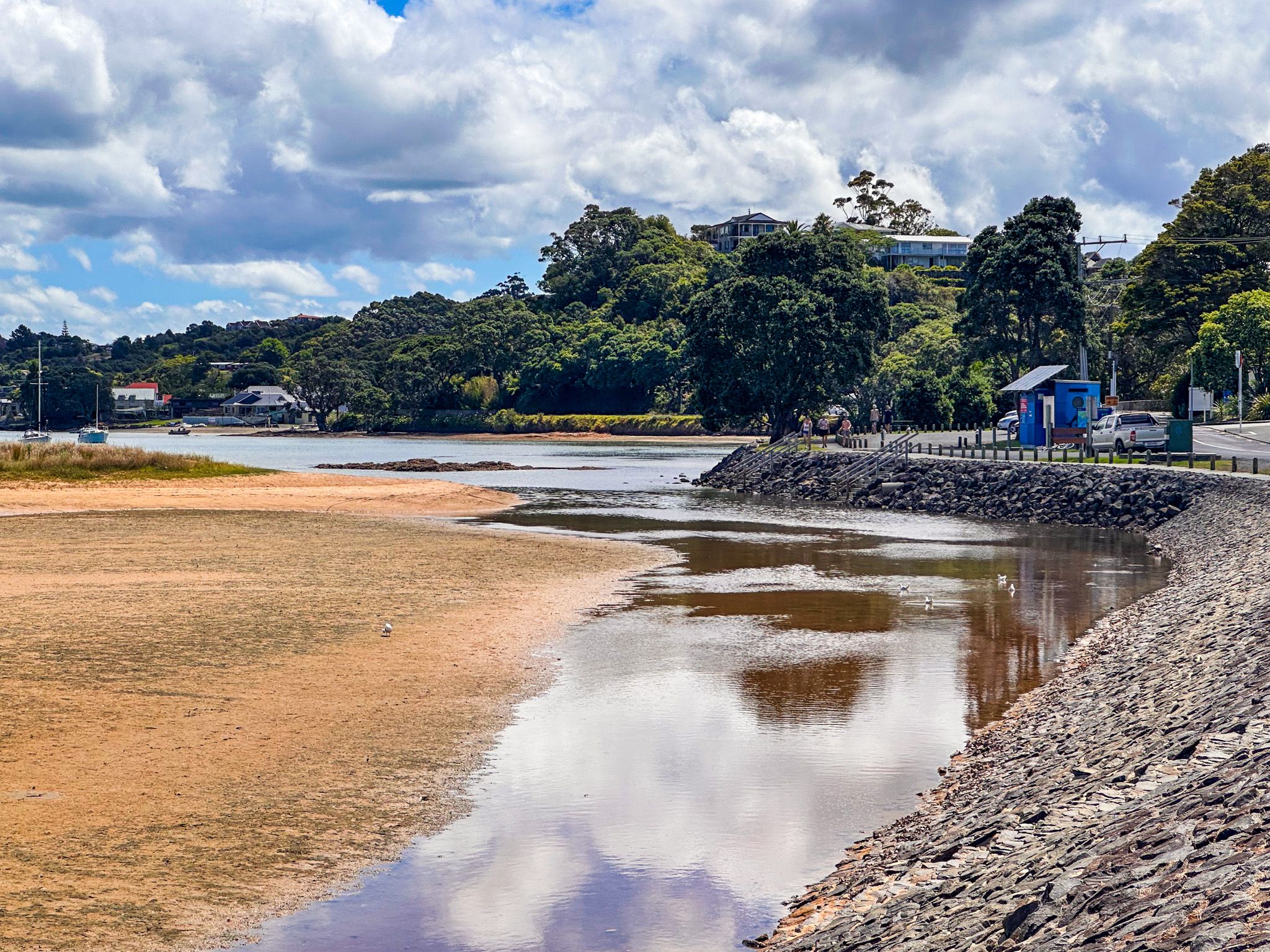
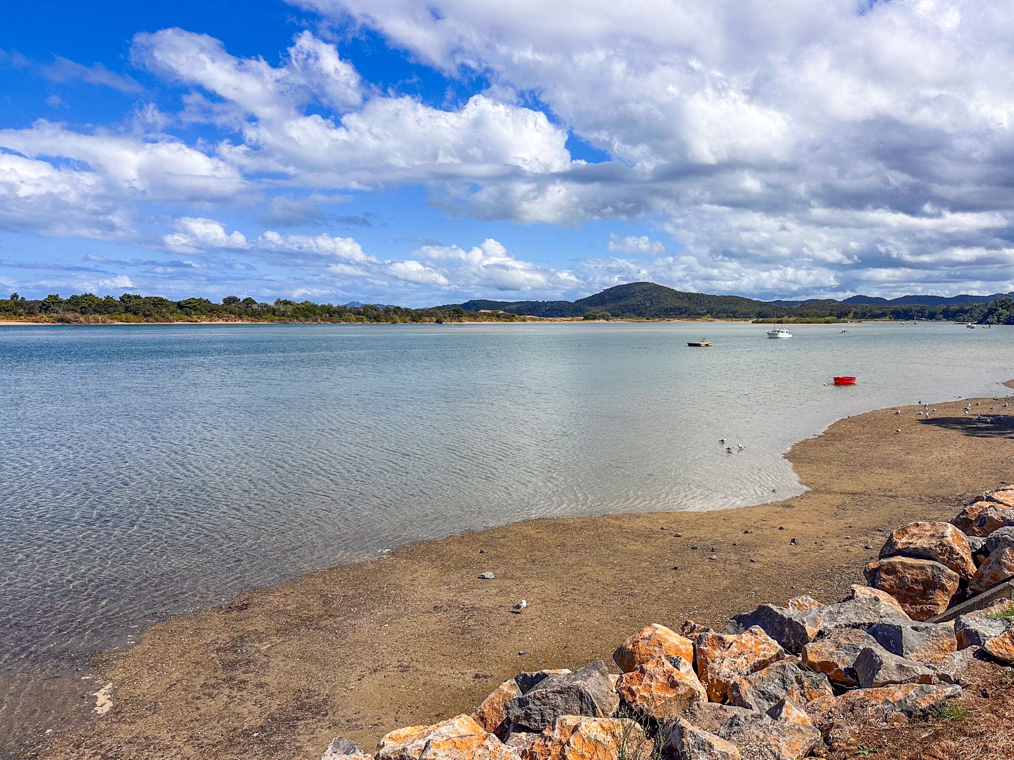
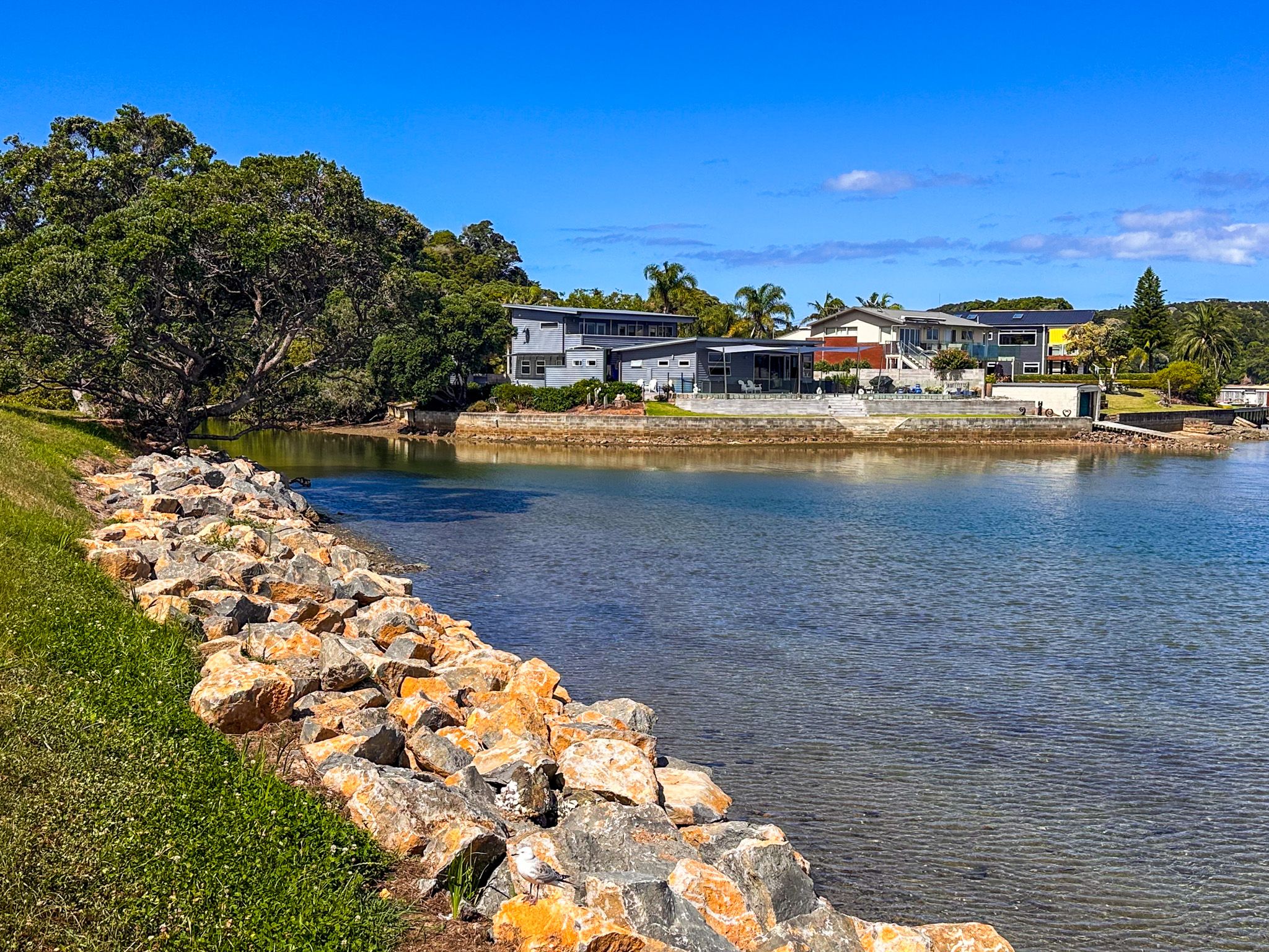
Ngunguru is the main service centre of the coast, a down-to-earth community built around a tidal estuary. The Ngunguru River opens into a broad bay protected by Pi Manu, a long DOC sandspit reserve with an ocean beach rich in tuatua and pipi. The school bell rings when dolphins enter the harbour.
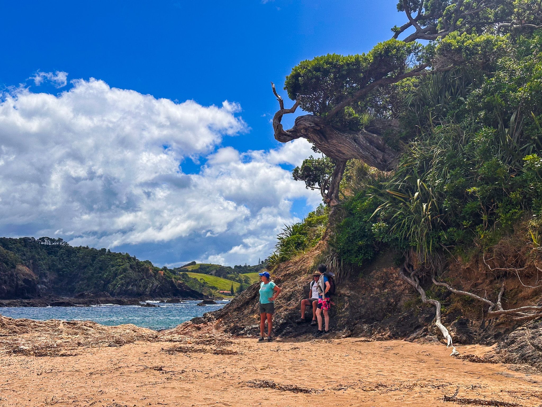
At the north end of the township, the small Kauakarangi sandspit in front of Ngunguru School is a photogenic spot with dunes, grasses, and active restoration: NZ dotterel, variable oystercatchers, and the elusive katipō spider are all present here. At low tide, you can wade and walk to Whangaumu Bay around the rocky coast, past a small natural arch.
A short detour along Waiotoi Road off Ngunguru Road leads to the Tāne Moana Track, a walk through kauri forest; the roadside access is easy to miss, and parking is very limited.
Tutukākā Township and Harbour
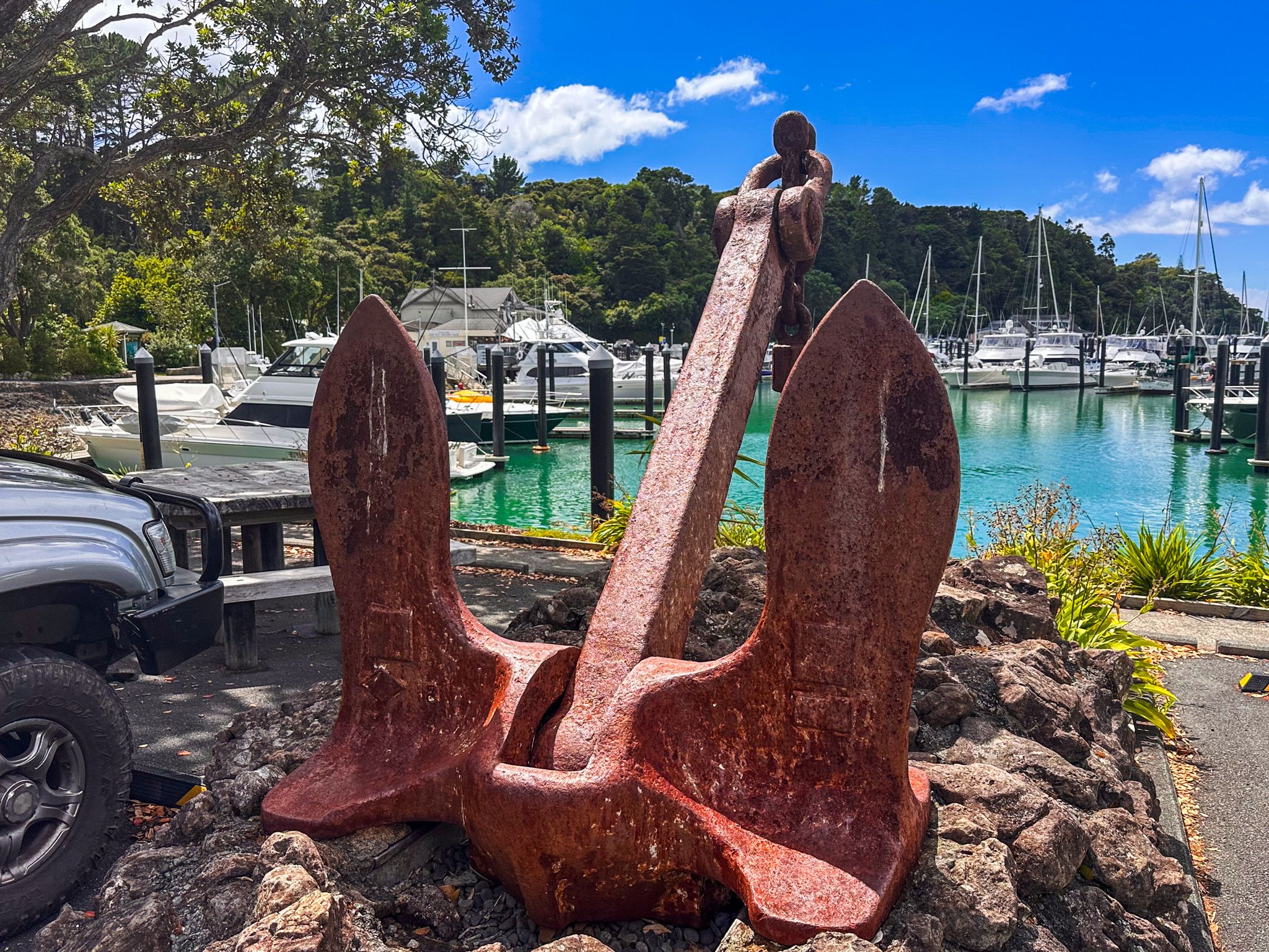
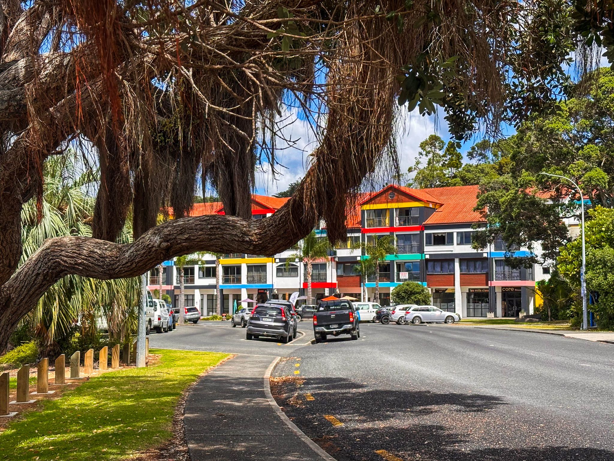
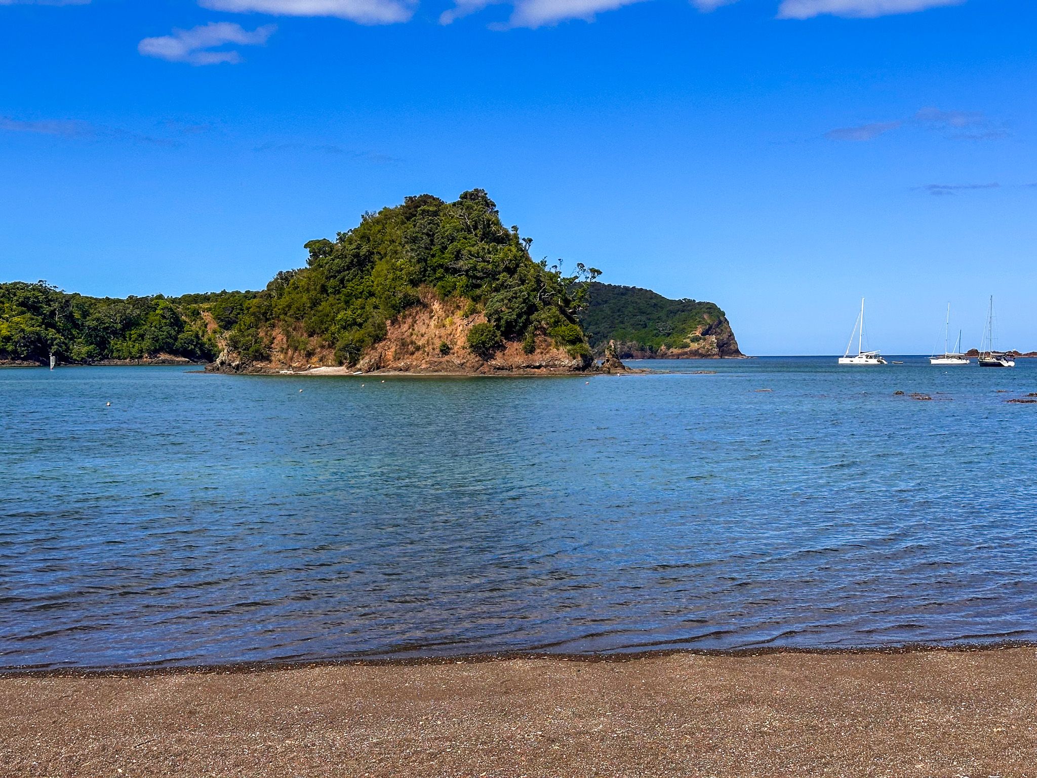
Five kilometres south of Ngunguru, Tutukākā Marina in the township of Tutukākā on the Tutukākā Harbour is the departure point for Poor Knights charters and a hub for dining and services. The waterfront reserve holds the Moment of Release bronze sculpture and a memorial to Kelly Tarlton, the pioneering New Zealand diver who explored the Poor Knights from the early 1960s. Two sunken naval vessels offshore, HMNZS Tui and HMNZS Waikato, are accessible to certified divers.
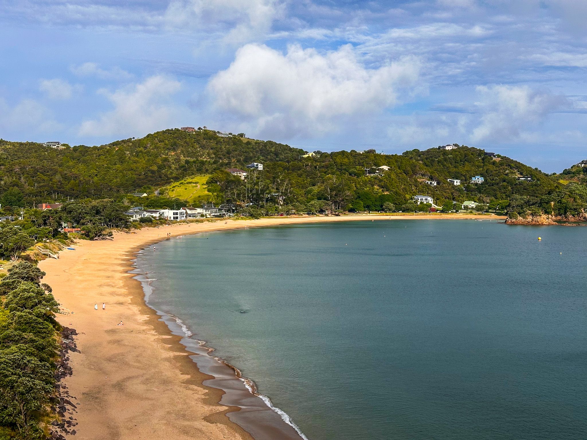
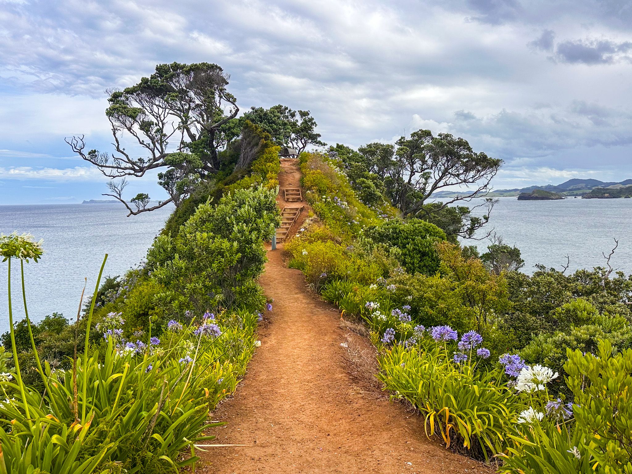
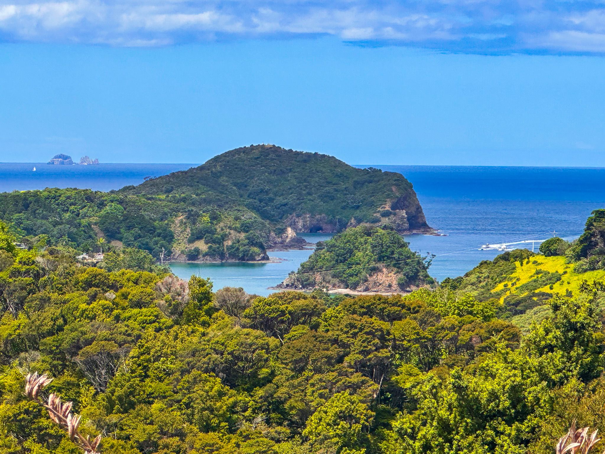
From Tutukākā Block Road, you cna discover the sheltered harbour bays of Church Bay and Kowharewa Bay, and also reach Whangaumu Bay. Whangaumu Bay is one of the most family-friendly beaches on the coast, and the Whangaumu Bay Track climbs from its eastern end to a dramatic ridge lookout before descending to golden-sand coves.
To the north of the township and harbour, the Tutukākā Track heads from Matapouri Road to the top of Kukutauwhao Island, with outstanding views of the Poor Knights.
Matapouri, Whale Bay, and the Northern Beaches
North of Tutukākā, Matapouri Road passes several beautiful bays and beaches.
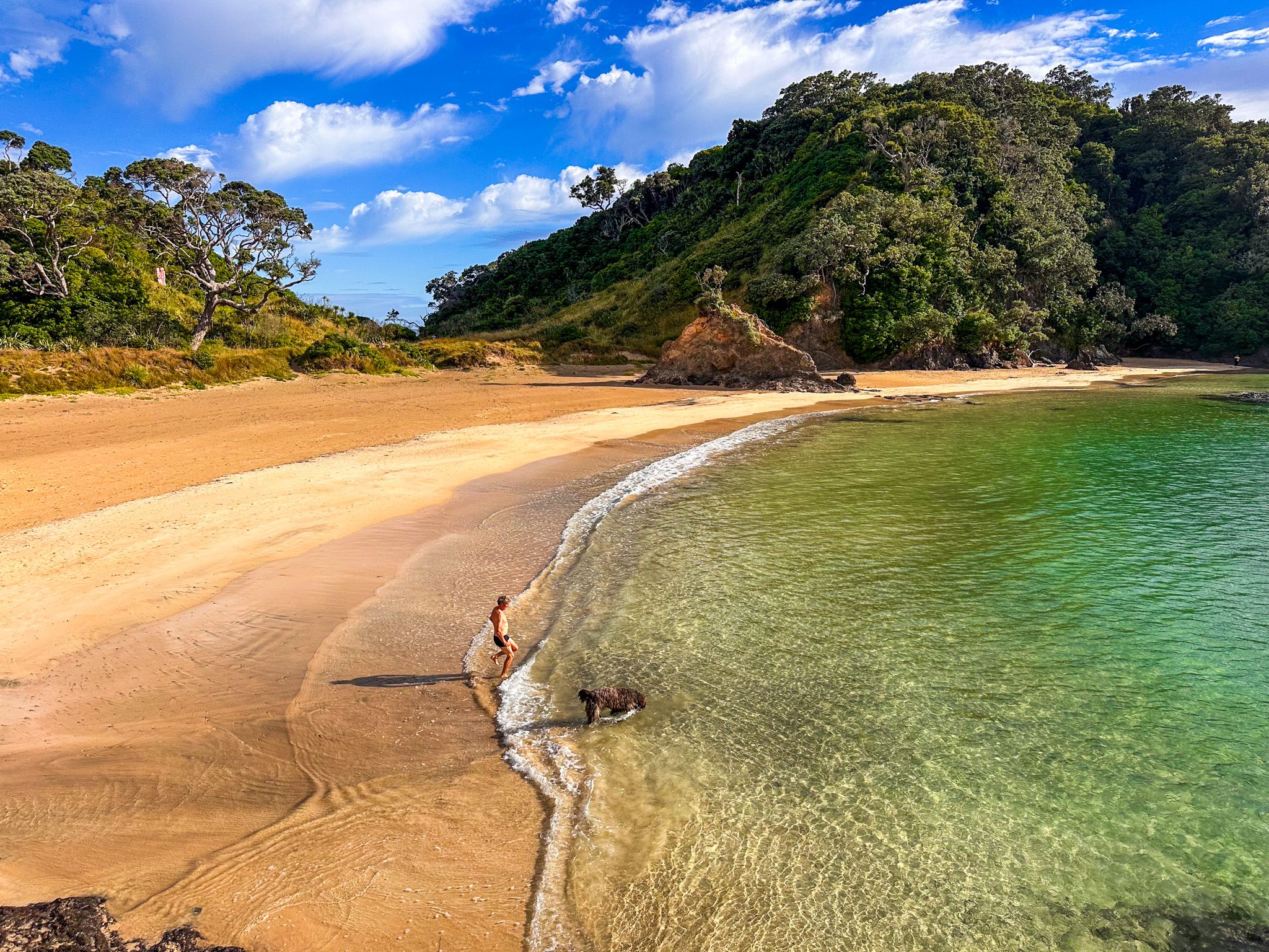
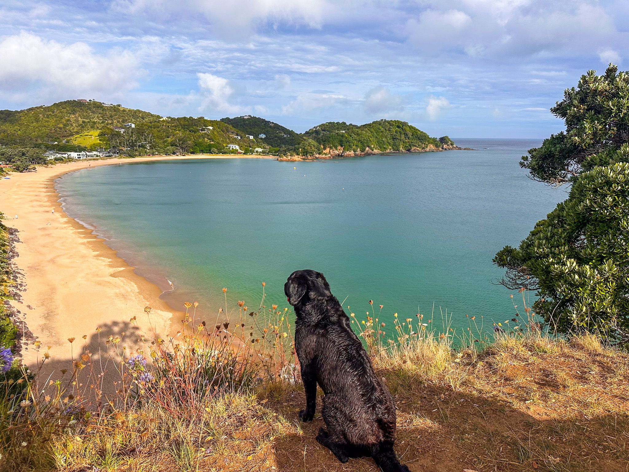
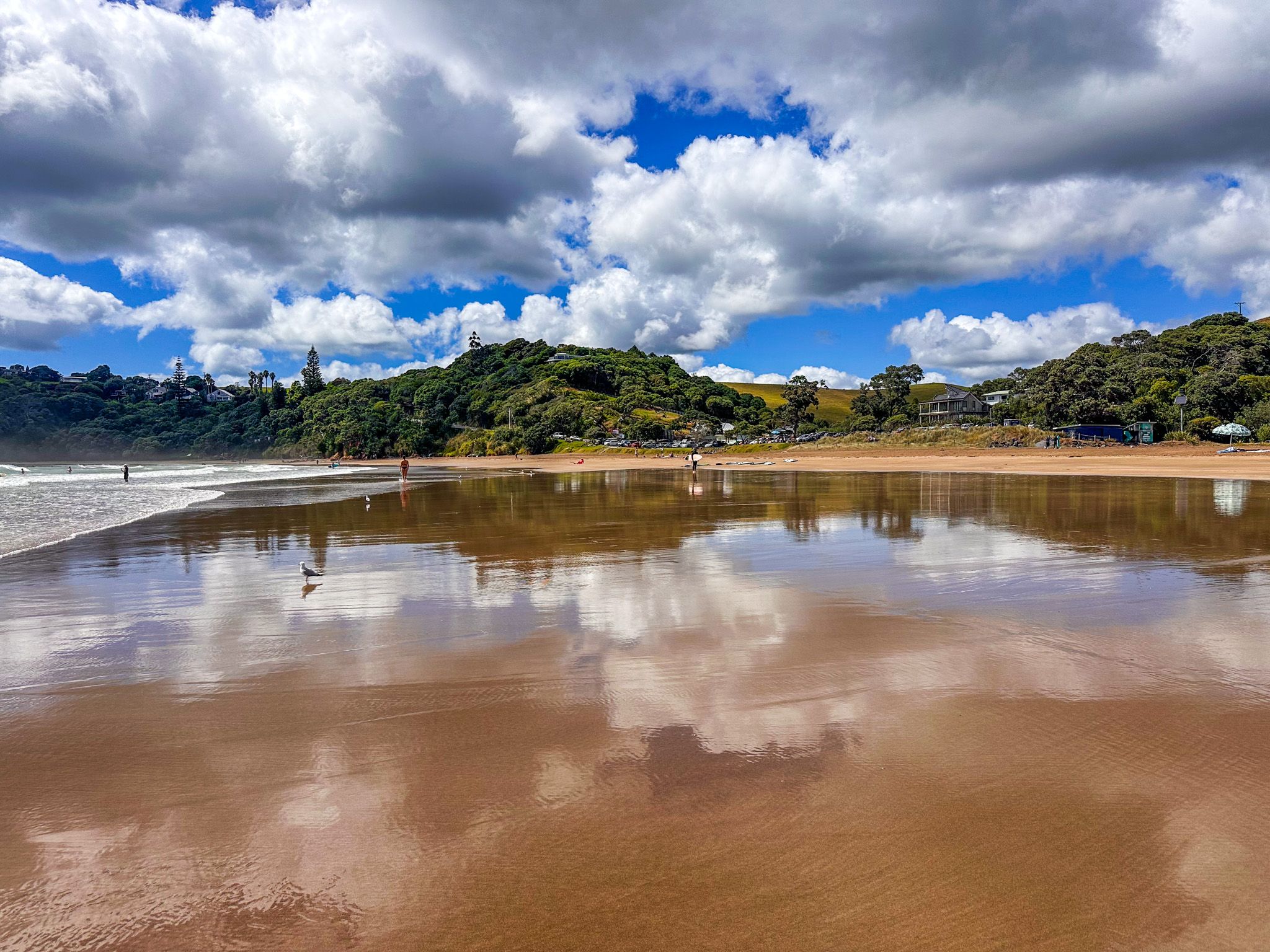
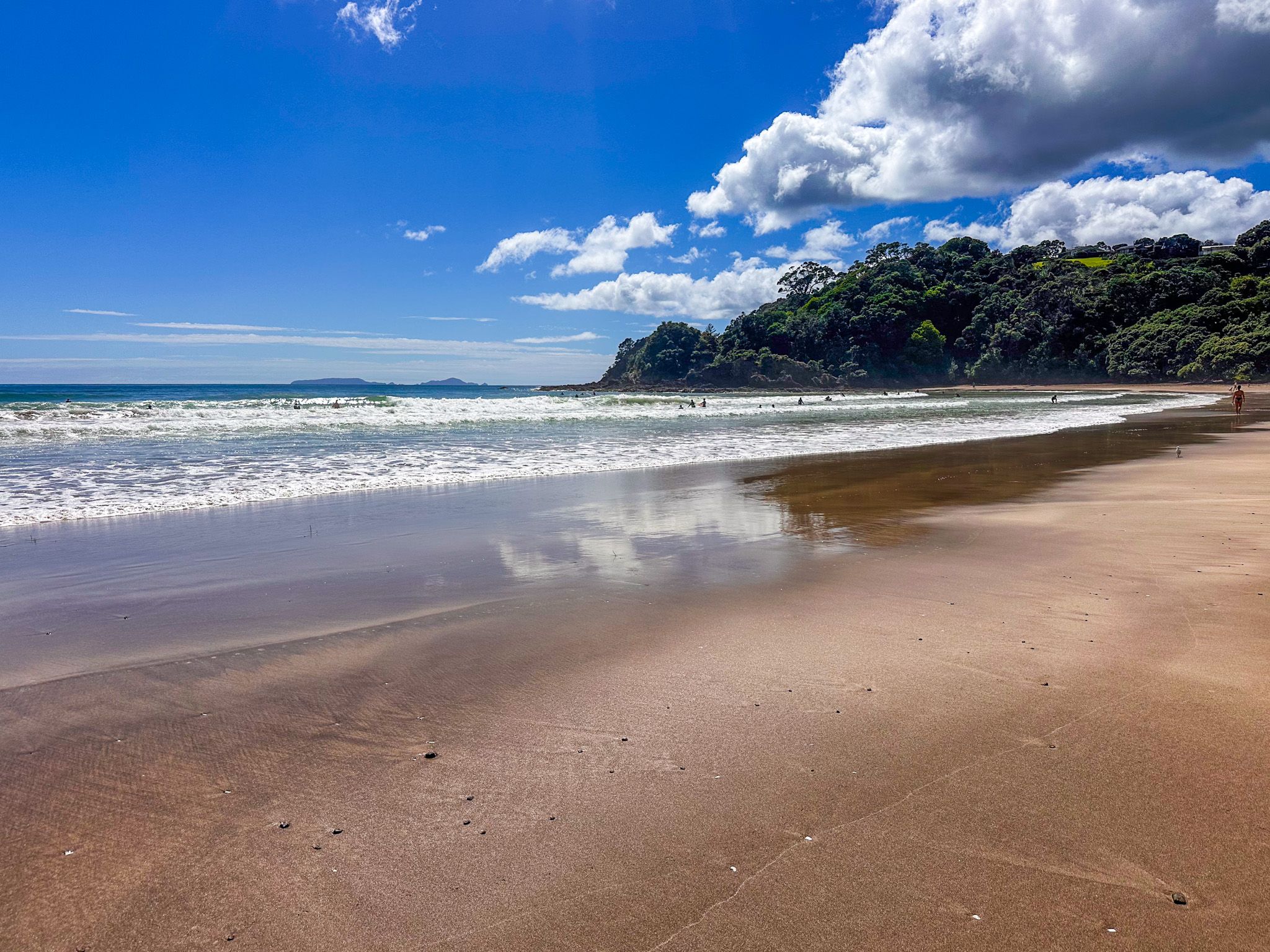
Matapouri Bay is a large horseshoe of white and gold sand whose Māori name, Otito, means hidden place, because the western headland conceals it from the open sea. The Otito Track loops from Matapouri Bay through coastal bush to the sheltered, foot-access-only Whale Bay, then along the ridge and Pacific Coast cliffs. Whale Bay can no longer be considered a “hidden gem”, but it is one of New Zealand's finest small beaches.
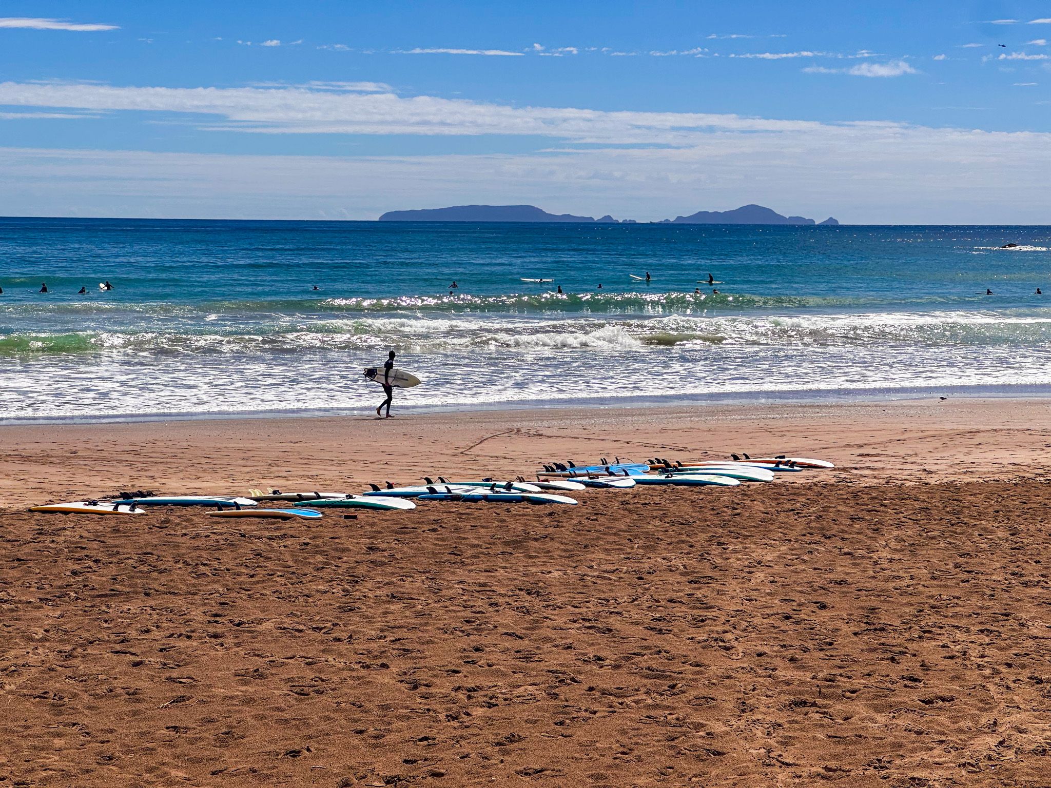
Woolleys Bay to the north is quieter, with freedom camping and room to walk. Sandy Bay is the best surf break on the coast, with surf schools in summer and the Whananaki Coastal Walkway heading north to a 395-metre footbridge at Whananaki.
Poor Knights Islands / Tawhiti Rahi
The Poor Knights Islands lie 22 kilometres offshore. Jacques Cousteau rated the marine reserve one of the top ten dive sites in the world. Over 120 fish species inhabit the reserve alongside subtropical visitors carried by the East Auckland Current, while Rikoriko Cave is one of the largest sea caves in the world.
Above the surface, around 200,000 pairs of Buller's shearwaters nest on the islands, along with the Poor Knights lily, which grows nowhere else in the wild. Snorkelling, diving and kayaking tours run from Tutukākā Marina.
Conservation and Wildlife
Tutukākā Landcare, established in 2003, protects North Island brown kiwi in the coastal forest between Ngunguru and Sandy Bay. Since 2007, pāteke (brown teal) have been reintroduced and are now breeding in the area. Grey-faced petrels nest along the coastal margins. Active dune restoration at Kauakarangi and community pest control across the Tutukākā High Value Area reflect the coast's strong conservation culture.
Ngātiwai, the People of the Sea
Ngātiwai are an iwi of Te Tai Tokerau long connected to the coast and islands of the east coast of Northland, from Cape Brett (Rākaumangamanga) in the north to Tawharanui in the south, and out to the Poor Knights Islands (Tawhiti Rahi). The iwi traces their whakapapa to Manaia, one of the earliest settlers of the region, and for whom Mount Manaia on Whangārei Harbour is named.
Their identity is strongly tied to the ocean, and the iwi was known for its ocean traditions and coastal raiding. Other iwi were said to be warned by a guardian sea-hawk (Tūkaiaia) that Ngātiwai were on the move. Through marriage and shifting tribal relationships, Ngātiwai developed close links with groups, including Ngāpuhi, shaping the Māori of the region. Ngunguru, in particular, is known for its pā sites, while middens and burial grounds are found on the sandspit on the river's east side.

How to Get There
From Whangārei, follow the Twin Coast Discovery Highway northeast through Tikipunga, past Whangarei Falls, approximately 30 kilometres to Tutukākā township. Allow 35 minutes. The coastal road continues north from Tutukākā past Matapouri, Whale Bay, Woolleys Bay, and Sandy Bay before looping back to State Highway 1 at Hikurangi, making a satisfying half-day circuit. From Auckland, allow around 2.5 hours, 188 km.