Take Time to Discover Whangārei
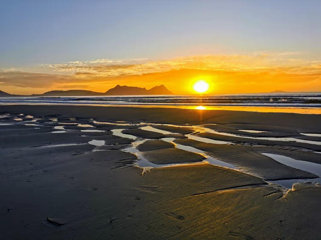
Whangārei is Northland’s largest city, set around the upper Whangārei Harbour on the east coast and the tidal Hātea River. It’s an easy long weekend base from Auckland (around 160 km by road), with walks, waterfalls, and culture to fill a few days without rushing.
Explore the Town Basin
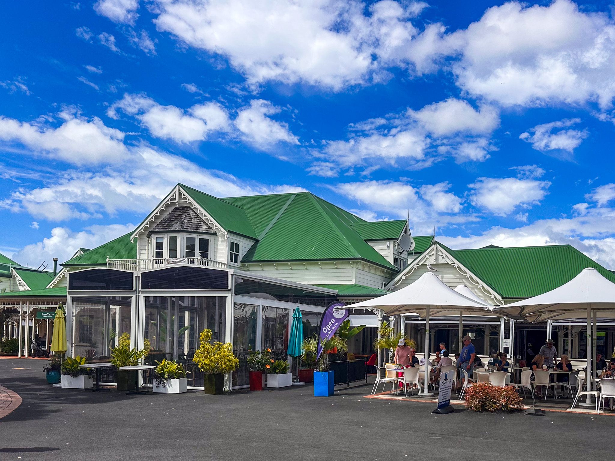
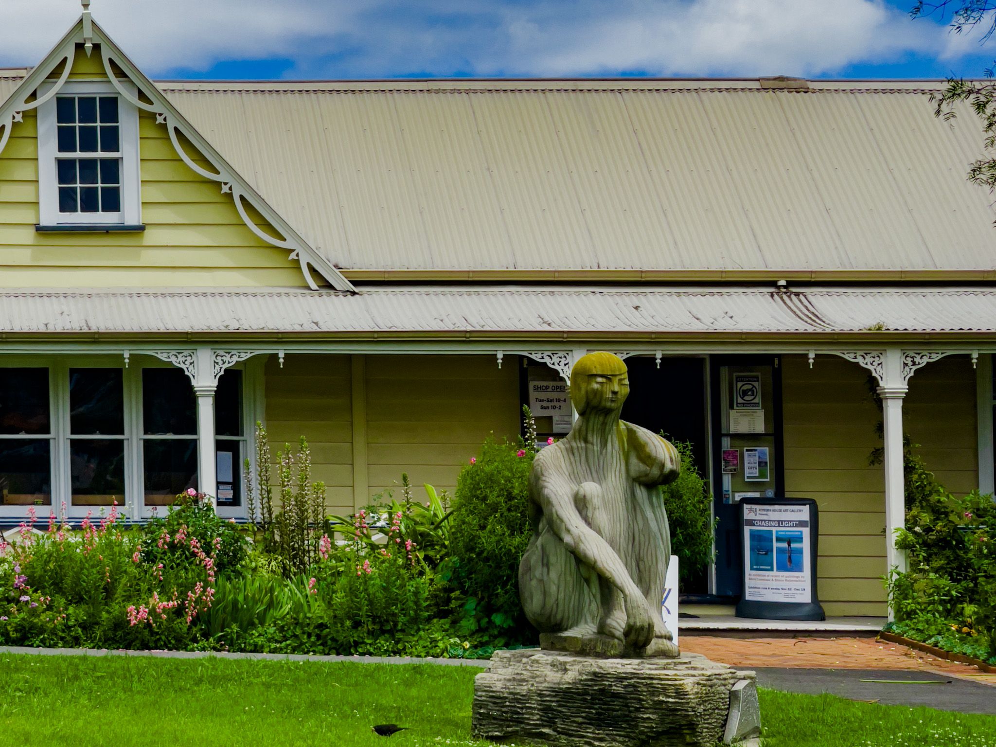
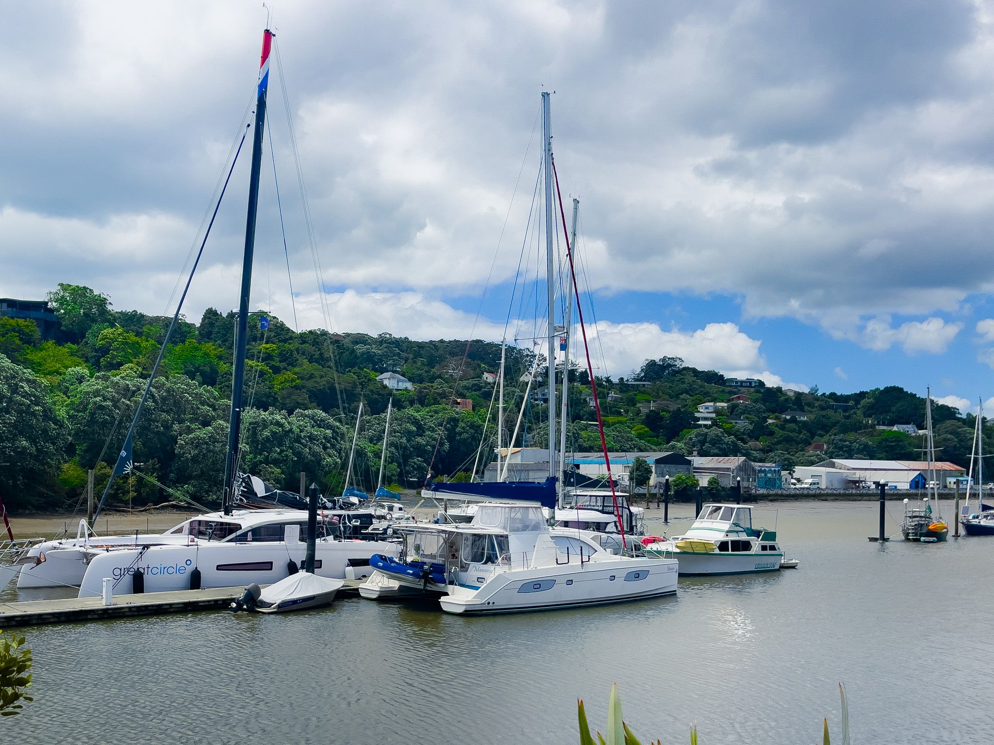
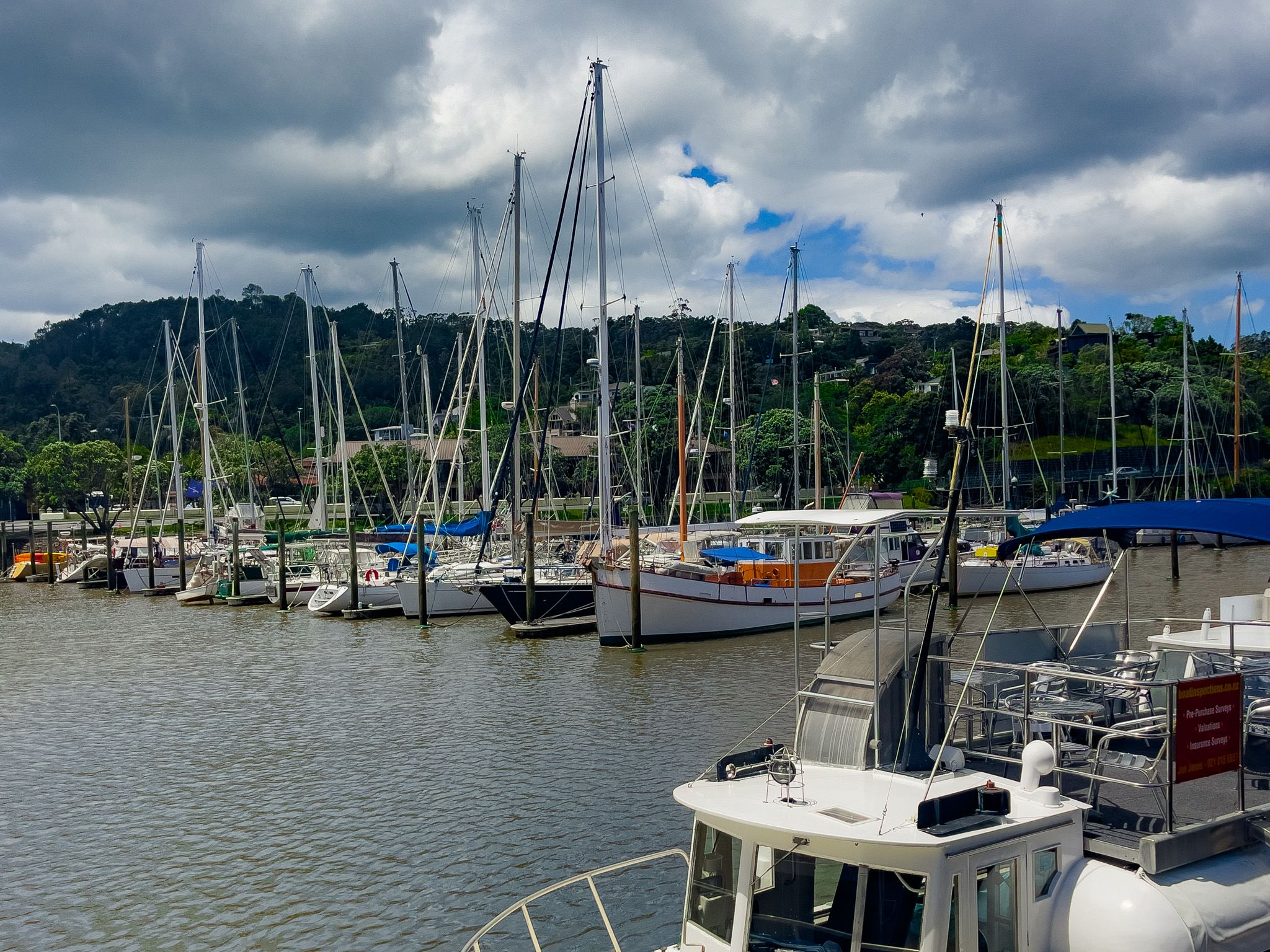
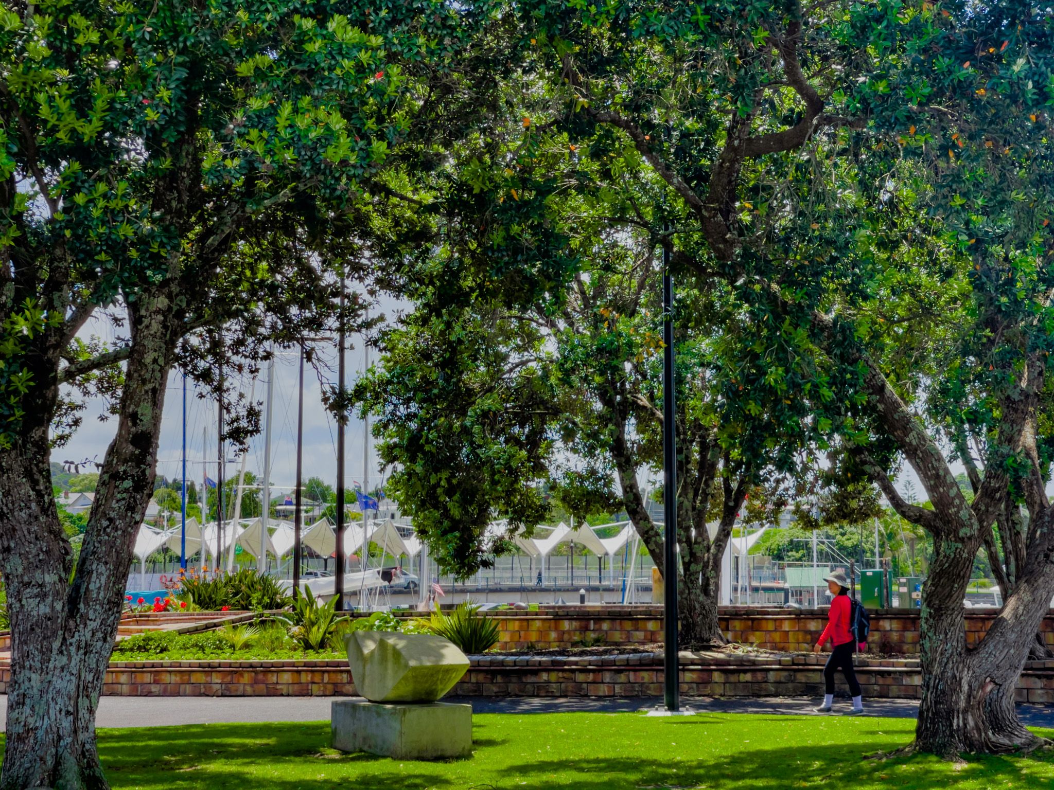
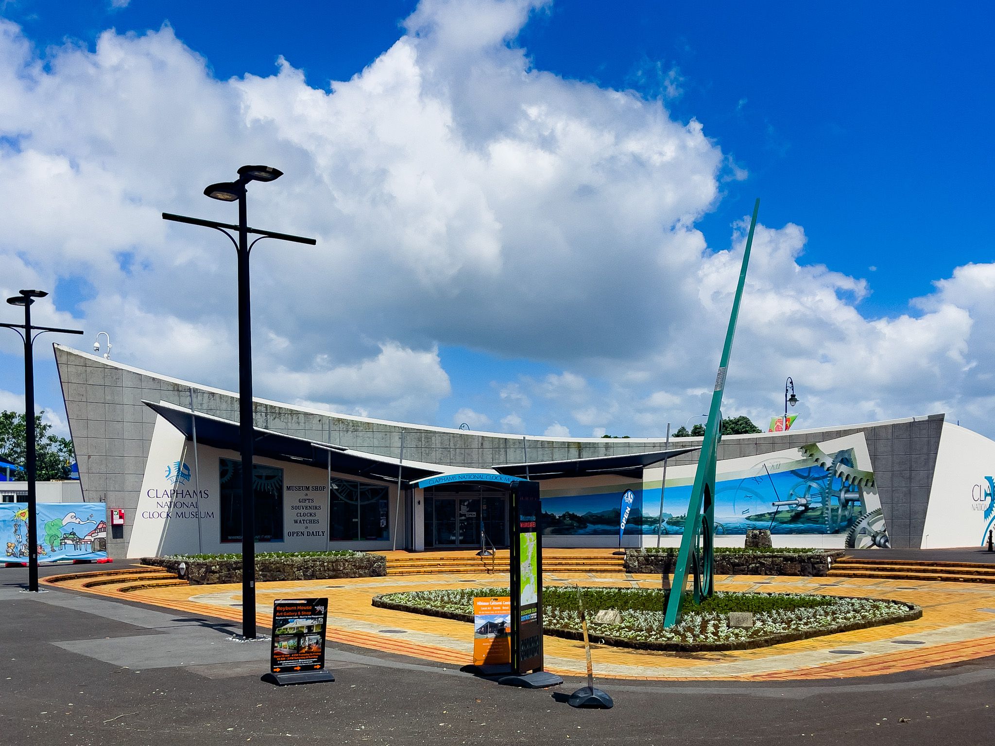
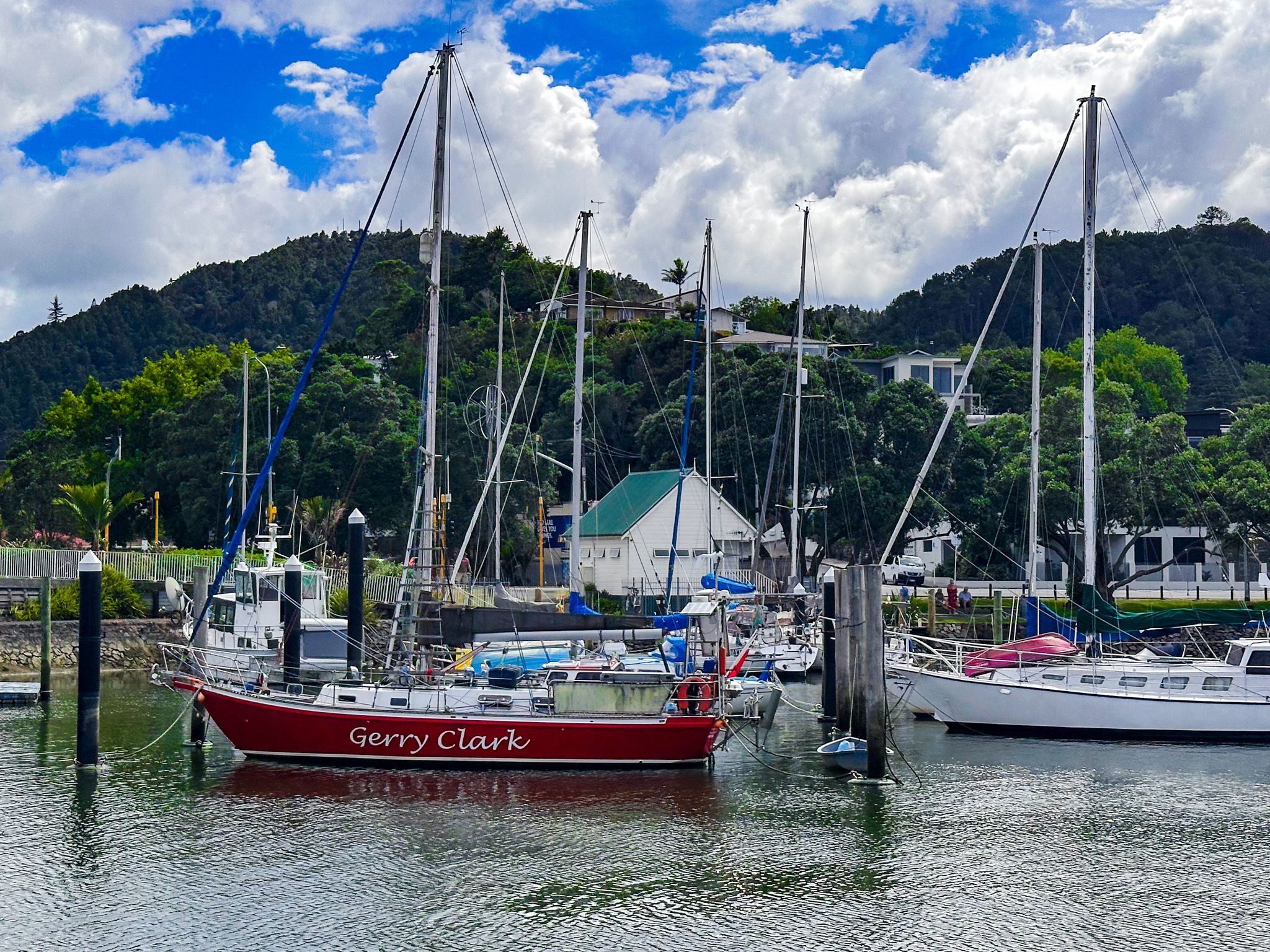
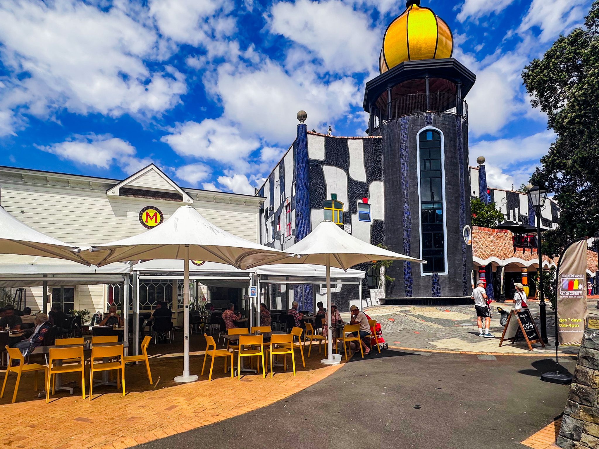
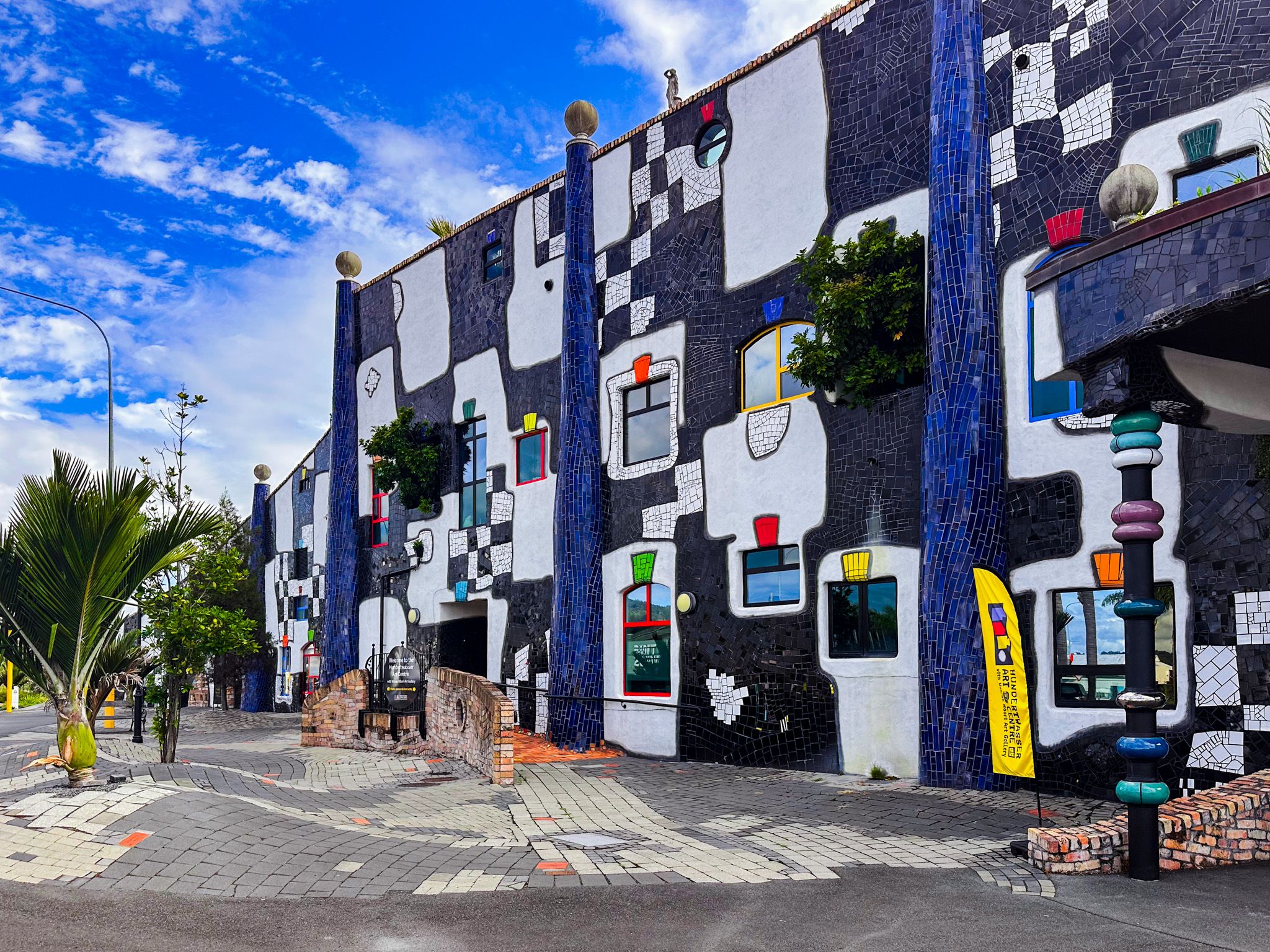
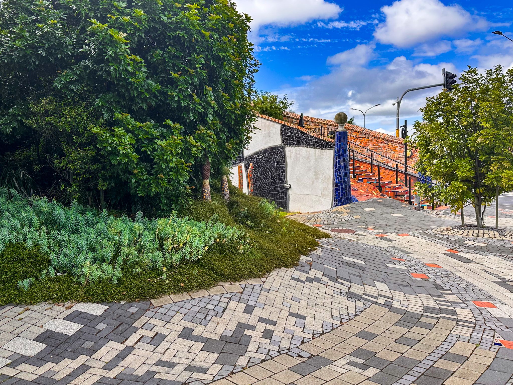
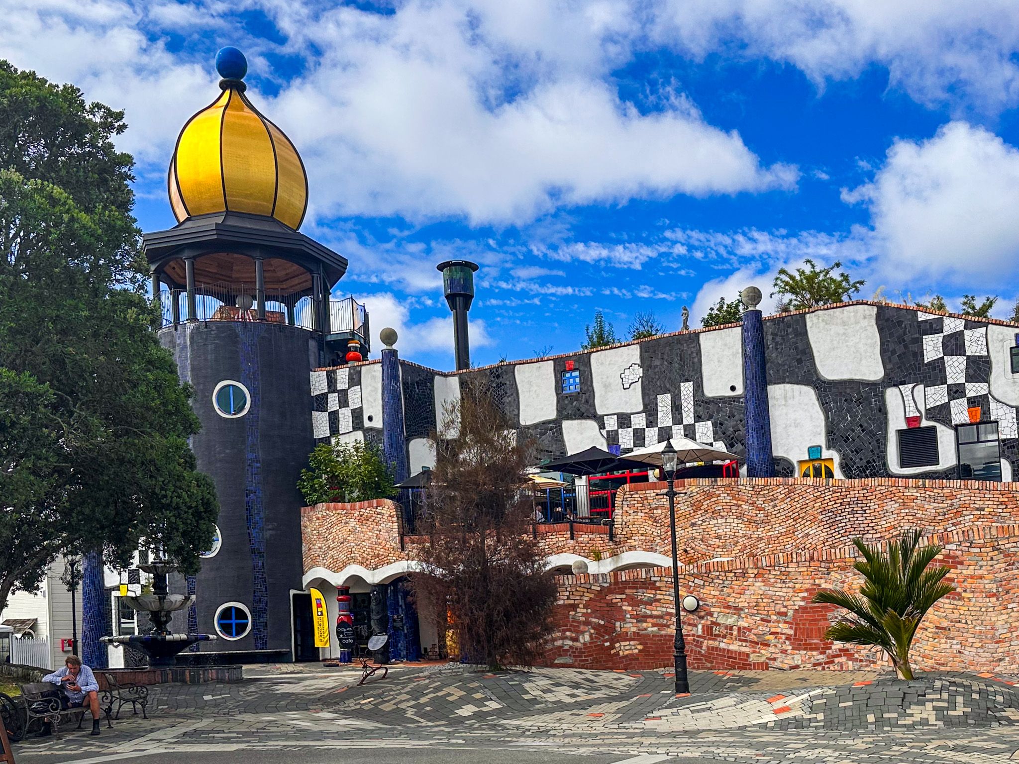
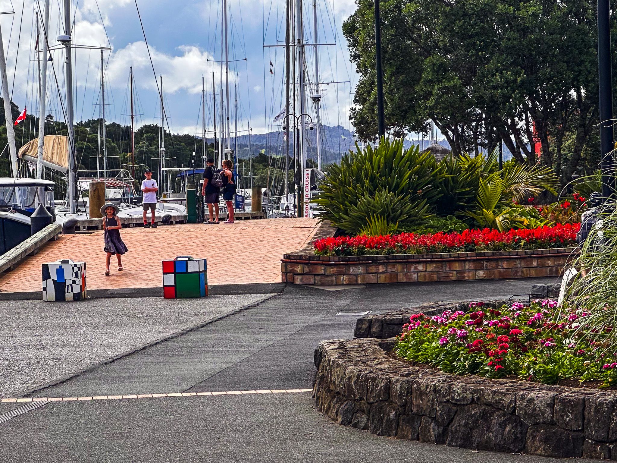
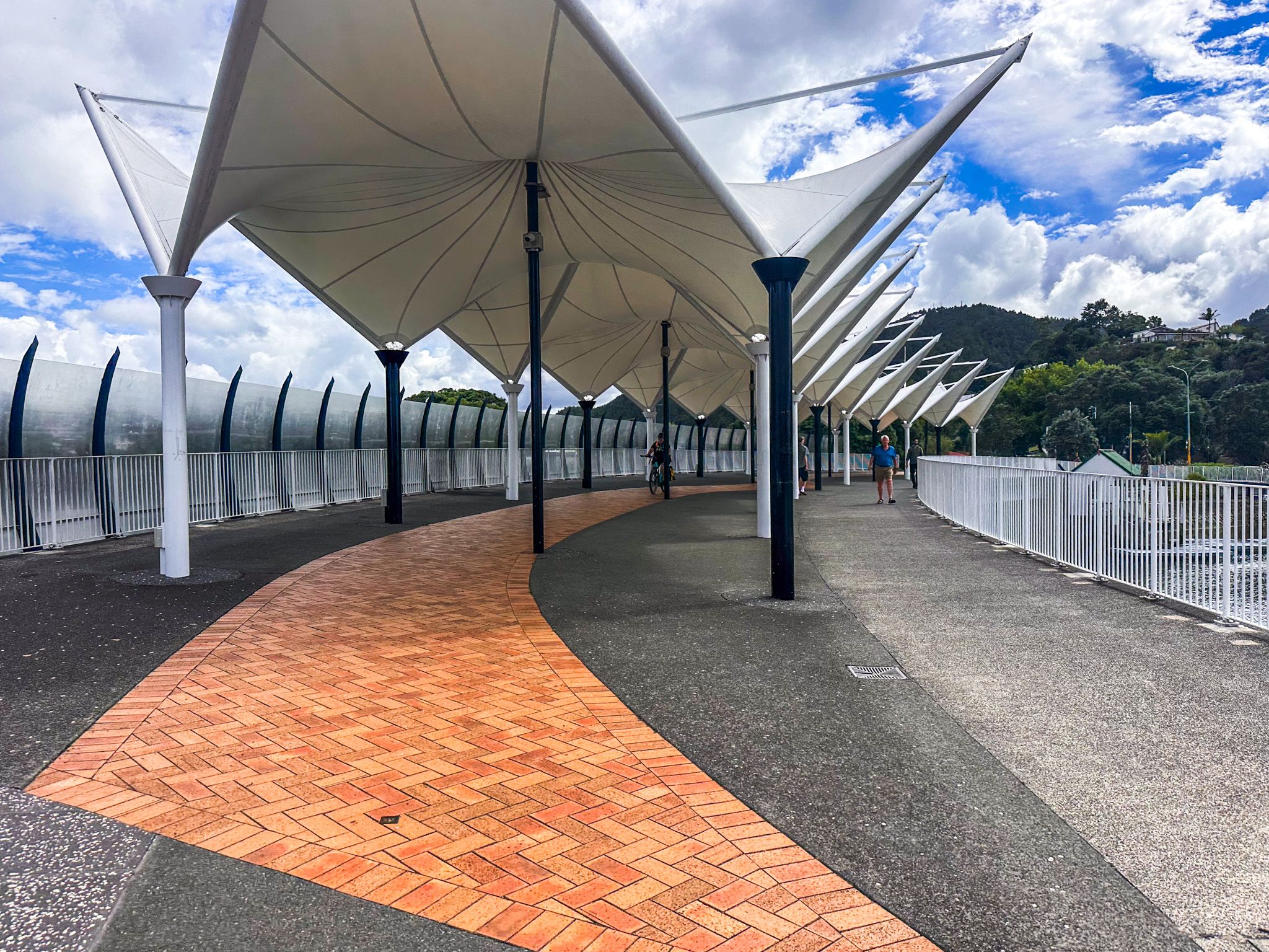
For many visitors, the Town Basin on the Hātea River is the highlight. Signposted as you enter Whangārei, it is easy to find, has plenty of nearby parking and is one of the loveliest town riverside walks in New Zealand. Parked-up yachts at the river marina, cafés, galleries and boutique shops along the water, and the Hundertwasser Art Centre with Wairau Māori Art Gallery define the precinct. It is all connected by a riverside walkway, which forms part of the 4.2 km Hātea Loop along the river, with the northwestern end river crossing on the striking Canopy Bridge.
Easy Walking in the Town Boundary
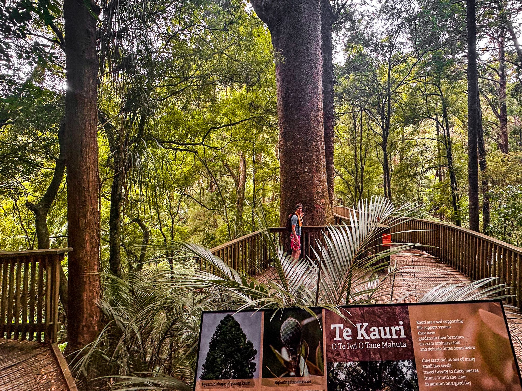
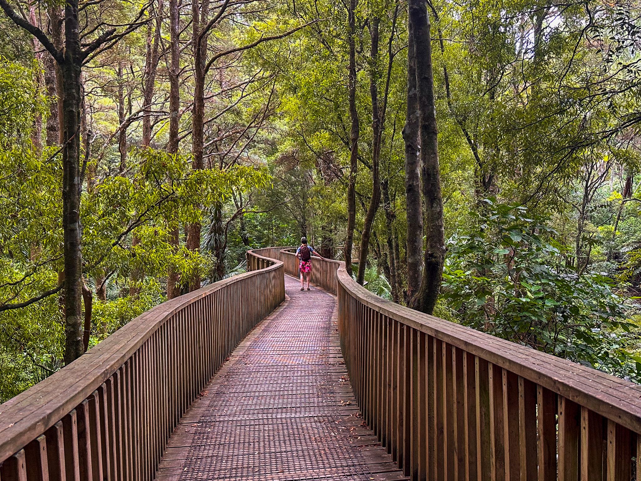
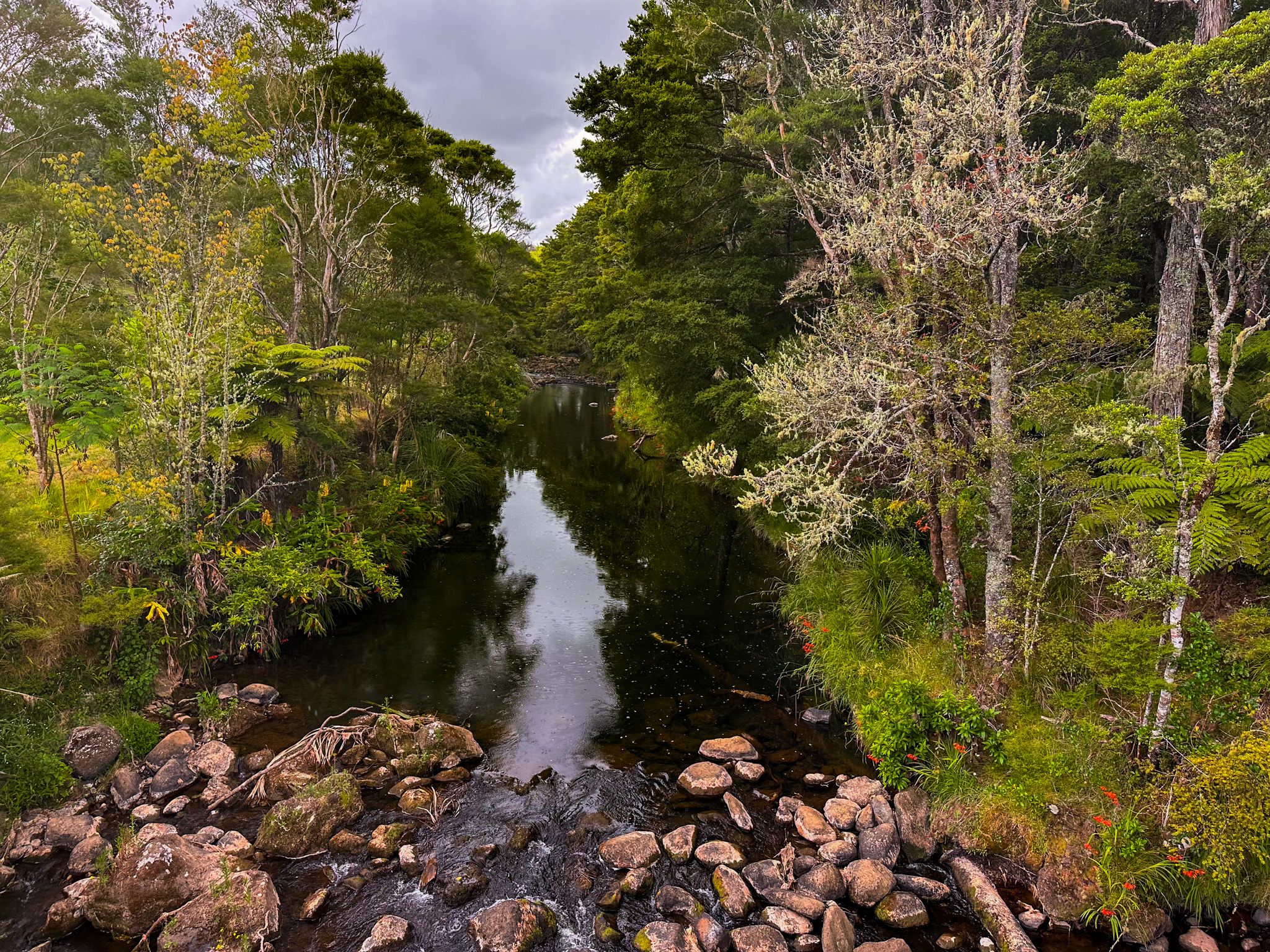
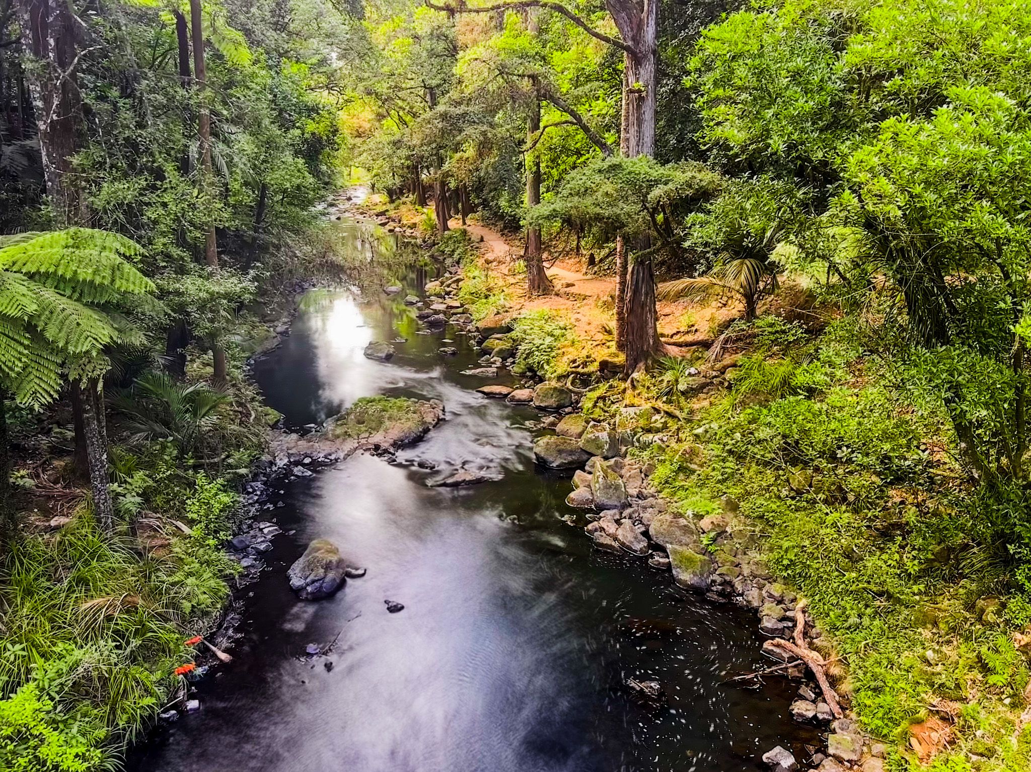
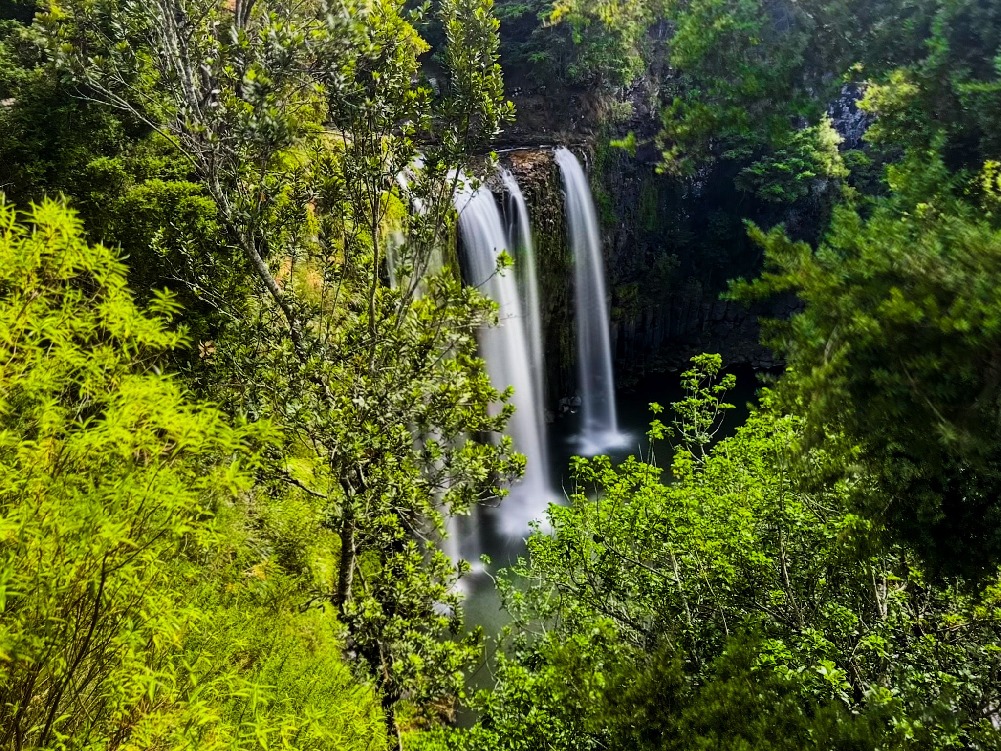
In addition to the Town Basin, Whangārei has an excellent river and related park walk, mostly on easy, flat terrain. The Hātea River Walkway runs from the Town Basin to Ōtūihau Whangārei Falls on metalled tracks, mainly along the river through native bush pockets and picnic spots. It takes about 2 hours to walk one way, but you can also do it in sections. Along the way, you can explore the loop track in the AH Reed Memorial Park, and at the northern end are viewpoints of the falls and another loop walk.
Walk up Mt Parihaka from Hātea River
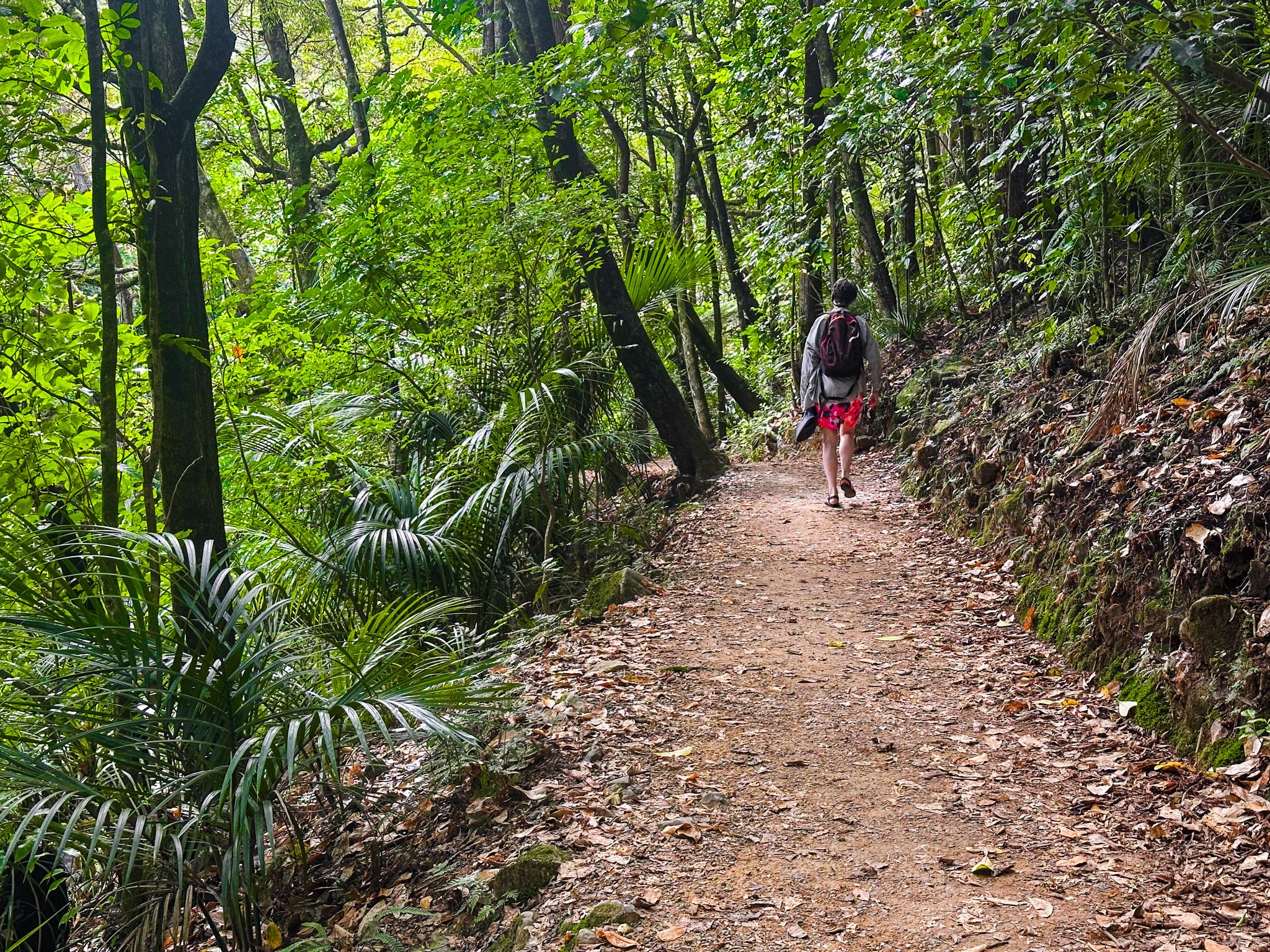
If you want a climb with big views, you can walk up to the summit of Mt Parihaka (241 metres above sea level) from the Hātea River Walkway. Parihaka features three pā sites, defensive terraces, and storage pits, reflecting its history as a defensive stronghold for the Ngāti Rāhiri and Parawhau iwi. At the top, there is a war memorial, and you get sweeping city-and-harbour views.
Another option is the short but interesting Abbey Caves Reserve loop walk, east of Parikaka.
Reitū and Reipae
The name Whangarei is associated with the story of Reitū and Reipae, twin sisters associated with the Tainui waka and the Waikato region. Ue-oneone, a Ngā Puhi rangatira on the Whangape Harbour in Northland, became enamoured by the beauty of Reitu. He performed a karakia (incantation), causing his pet kāiaia (falcon) to fly to Waikato and land on Reitū's house. As Reitū and Reipae approached the bird, it flew back out of reach, and they followed it all the way to Northland. Alternative versions have the sisters travelling north from Waikato on the back of a large bird, or even as birds.
Along the way, at Kaipara, Reipae met and married Korowharo. Whangārei, which means “Harbour of Rei”, was reputedly named for her. Further north at Ngutu-pakapaka, Reitū and Ue-oneone met and married. These two marriages created an early genealogical link between Tainui and Ngāpuhi iwi.
In another element of the story, the sisters also rested on Tohitohi o Rei (The Dome), a volcanic peak north of Warkworth.
Māori History
Whangārei Harbour is prominent in Māori histories as a landing place for the ocean-going waka Tūnui-ā-rangi and Arawa. For centuries, it was a key trading and travel hub, connecting iwi of the far north with communities around the Hauraki Gulf and Tāmaki. An important part of this network was the Mangapai portage, an overland route that allowed waka to be hauled between Whangārei Harbour on the east coast and the Wairoa River and Kaipara Harbour to the west.
Several iwi are closely linked to Whangārei’s early history, including Ngare Raumati, Ngāi Tāhuhu, Ngātiwai, and Te Parawhau, with Ngāpuhi expanding into the area in the late 1700s.
Arrival of Europeans and Early Interactions
The first Europeans to sight the harbour entrance were Captain James Cook and the crew of the Endeavour in November 1769. After catching large quantities of fish they called “bream” (likely snapper), Cook named the wider area Bream Bay. By the time European sealers and whalers began arriving in the early 1800s, Ngāpuhi occupied Whangārei.
During the Musket Wars of the 1820s, local Ngāpuhi were affected by retaliatory invasions by iwi to the south, slowing European contact. The first permanent European settler, William Carruth, arrived in 1839, followed by Gilbert Mair and his family in 1845. Although relationships with local Māori were mostly friendly, settler farms were plundered in retaliation for breaches of tapu in 1842. In 1845, during the Flagstaff War, settlers fled Whangārei again. Once tensions had died down, the town began to emerge on the river in the 1850s, spurred by the kauri timber and gum trade, with the Town Basin on the Hātea River serving as a port. Exports evolved to coal, and by 1864, the core of today’s city had taken shape.
How to Get There
From Auckland, drive north on State Highway 1 through Wellsford and Kaiwaka to Whangārei.
Whangarei is also the gateway for Bream Head and the Tutukākā Coast. To the south, you can also explore Waipū and Waipū Cove.