Discover Opua: Gateway to the Bay of Islands
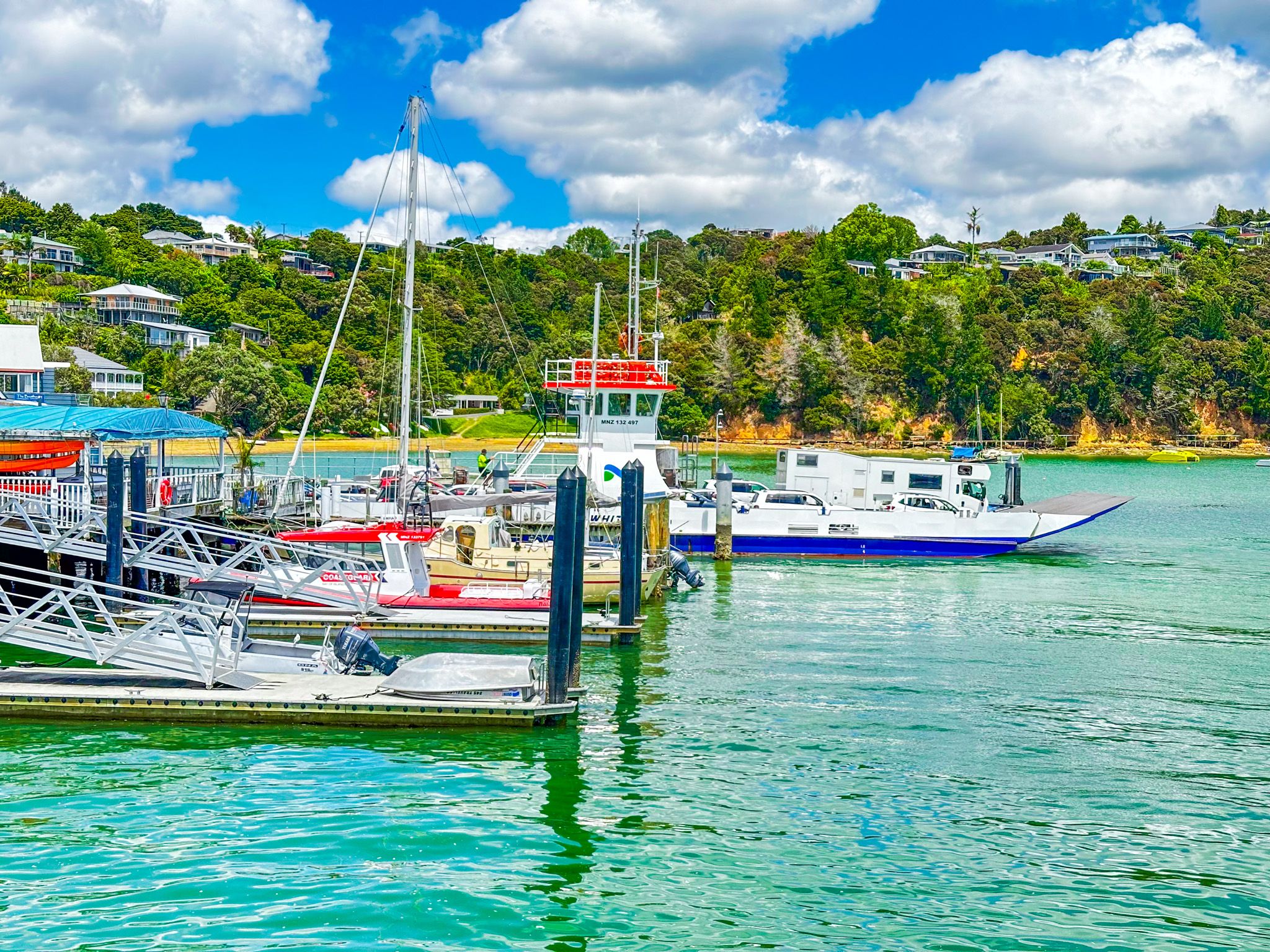
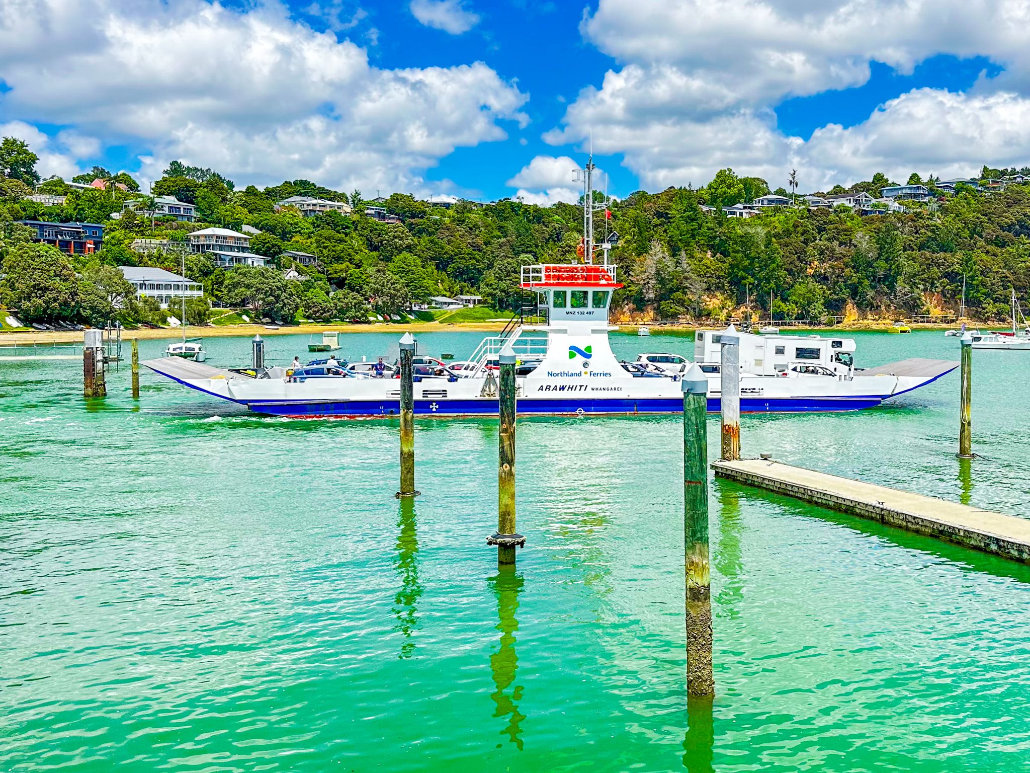
Opua, meaning "place of the flower," is a charming town located on State Highway 11 at the southwestern edge of the interconnected waterways of the Bay of Islands. Originally intended to be named Newport in the 1870s, the town instead retained its Māori name. Opua is best known for its car ferry service to Okiato, providing a convenient route to Russell, and serves as the northernmost port of entry for ocean-going private boats, attracting a diverse international community.
Scenic Walks and Cycling Trails
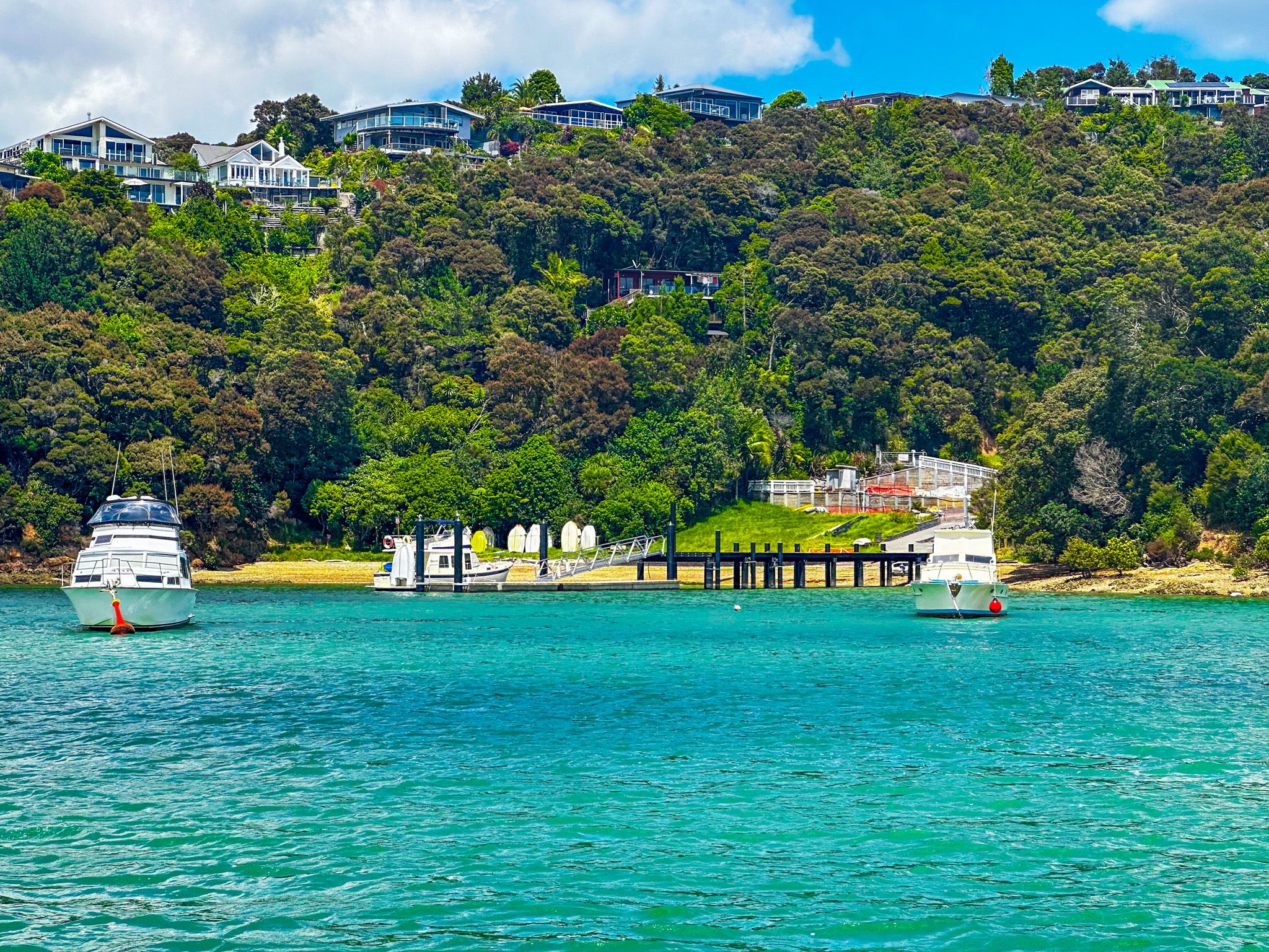
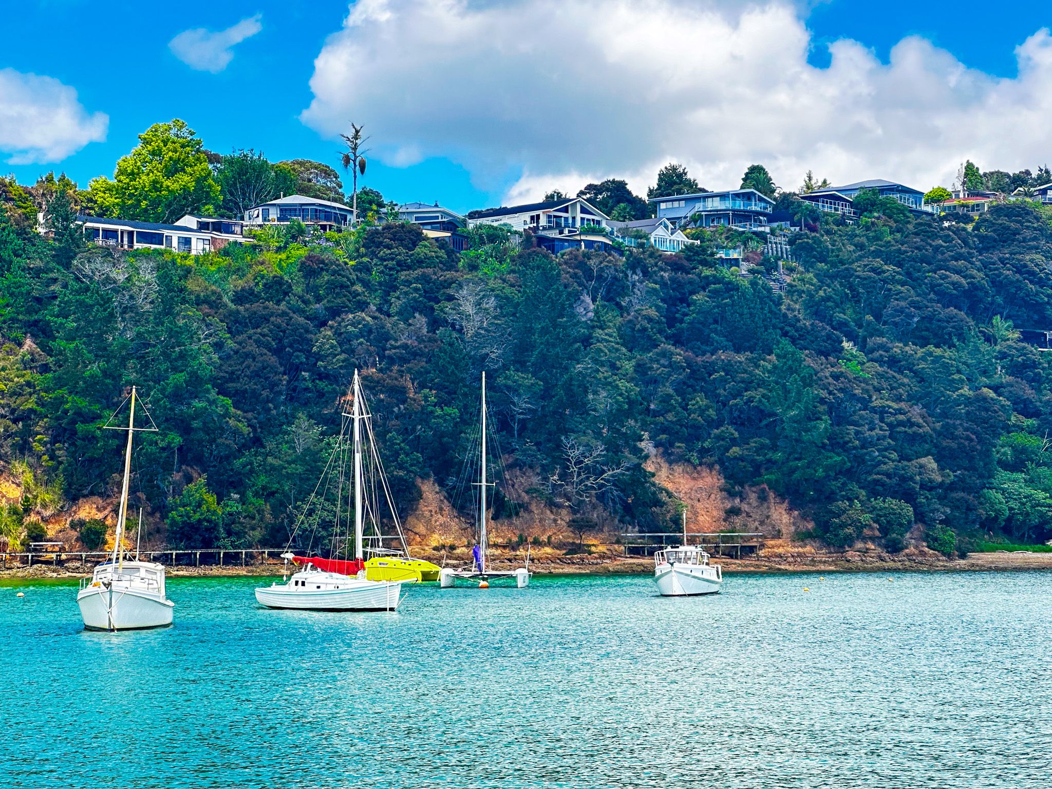
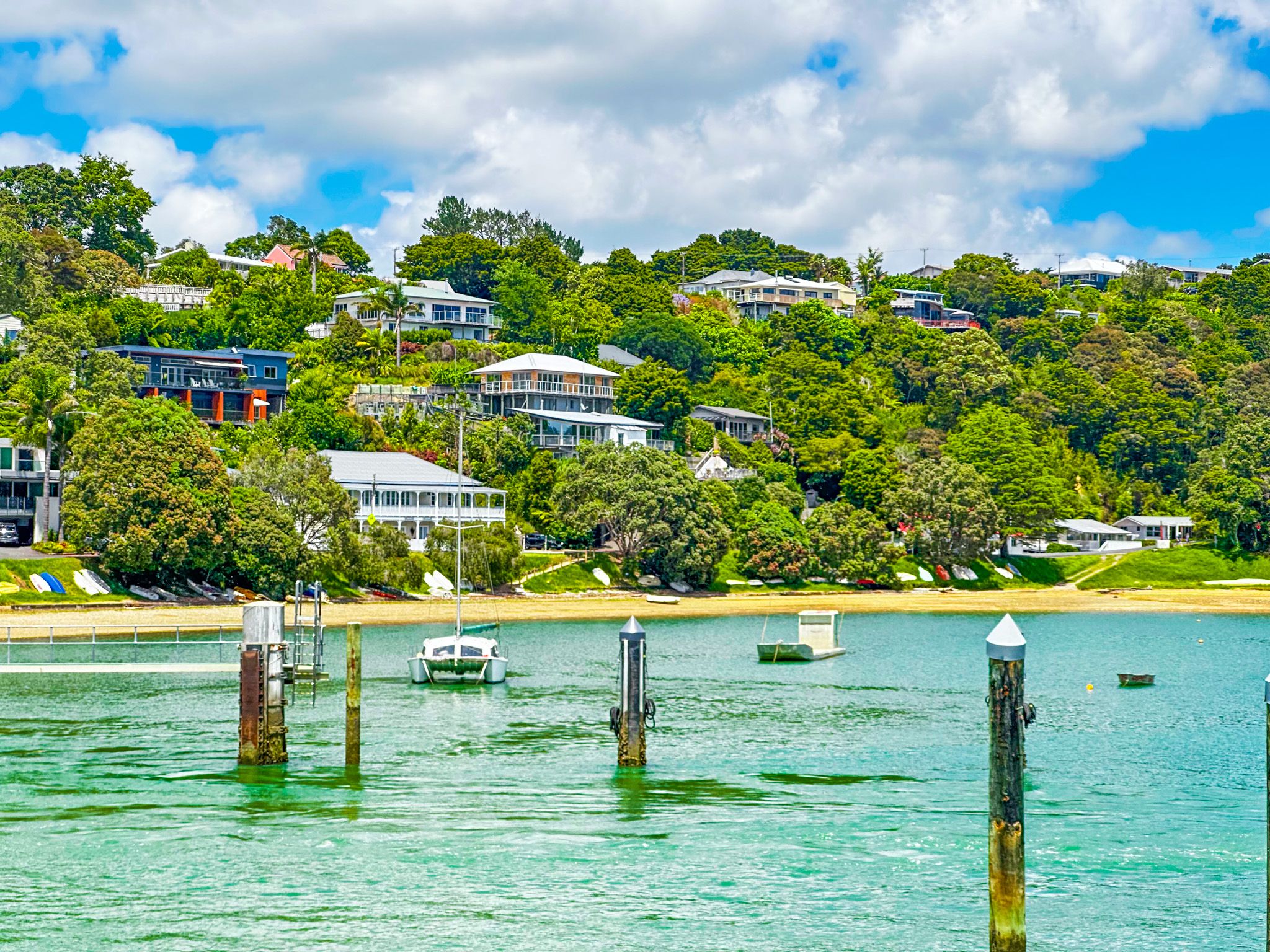
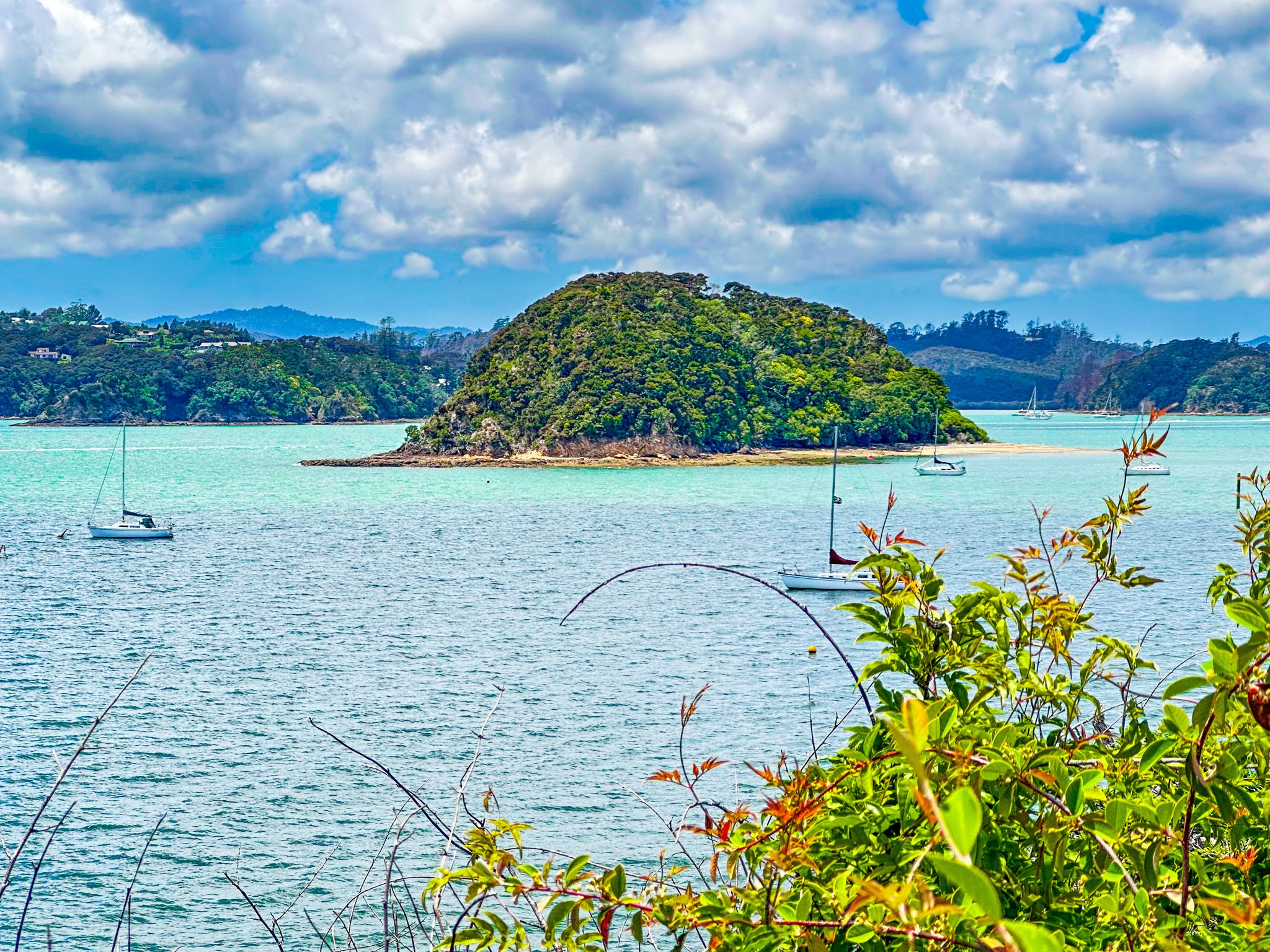
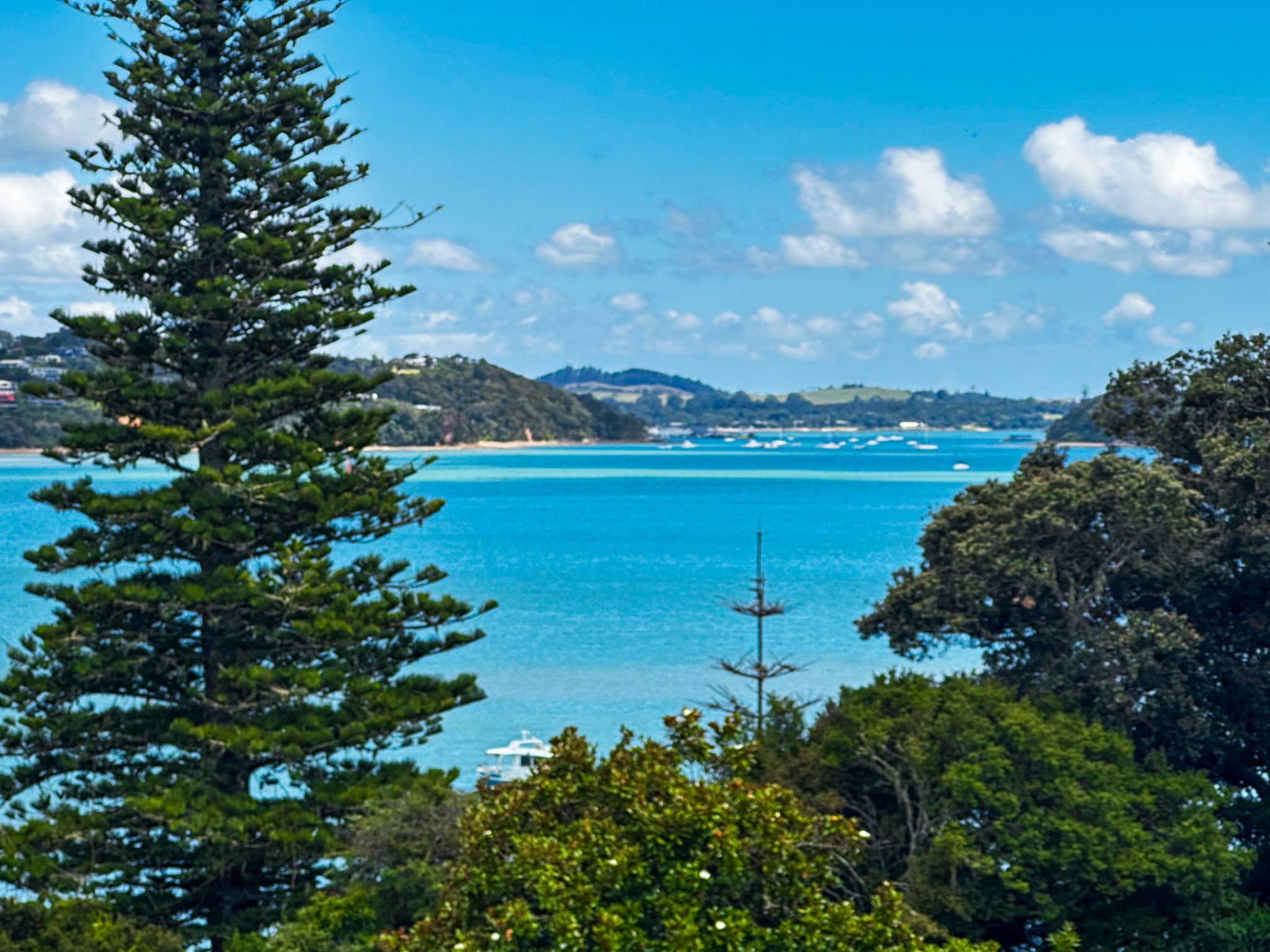
Nestled at the south end of the Veronica Channel, Opua connects several river outflows and the Waikare Inlet to the main bay near Paihia. The town's houses are scattered along the hilly coastline, flanking the wharf and marina.
A scenic walking track, part of Te Araroa, follows the coast north from the wharf towards Paihia, with stunning views of the bay. Additionally, the Twin Coast Cycle Trail follows the historic Kawakawa to Opua railway line, running along the coast to the mouth of the Kawakawa River, then on to Kawakawa.
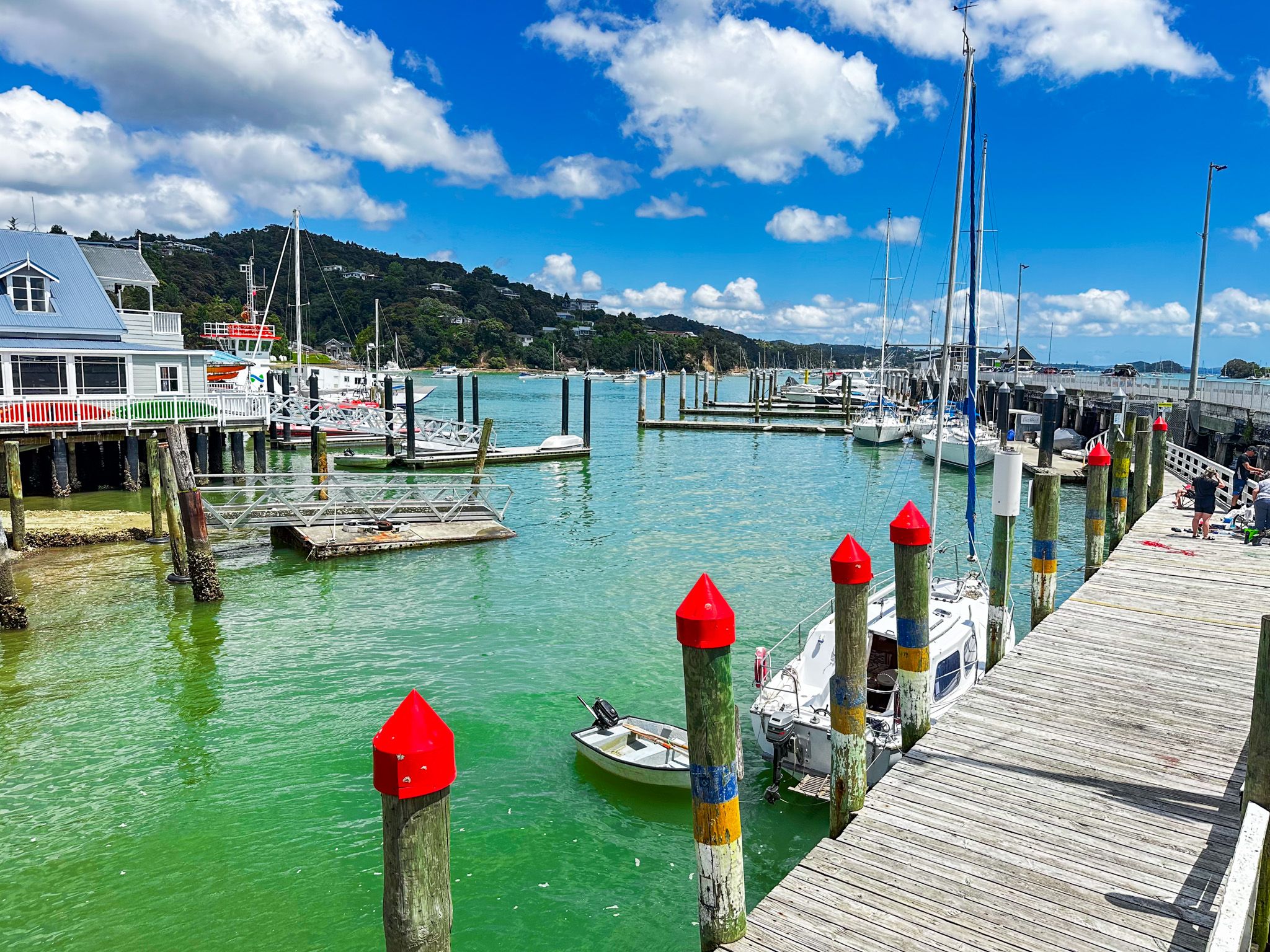
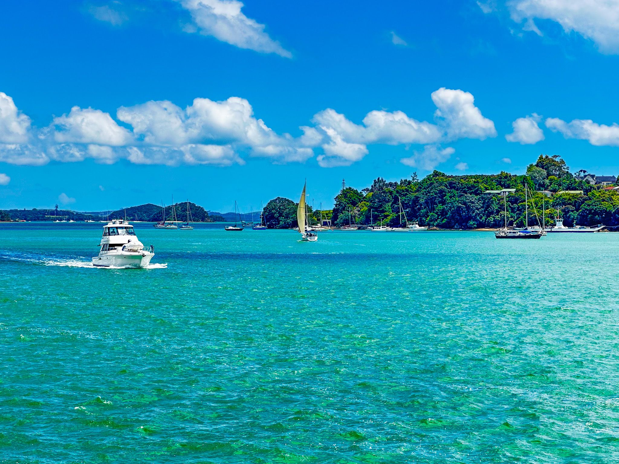
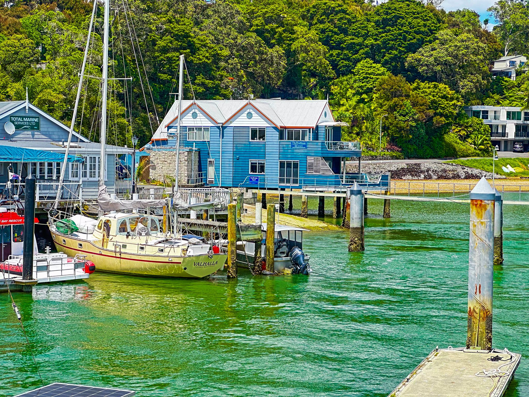
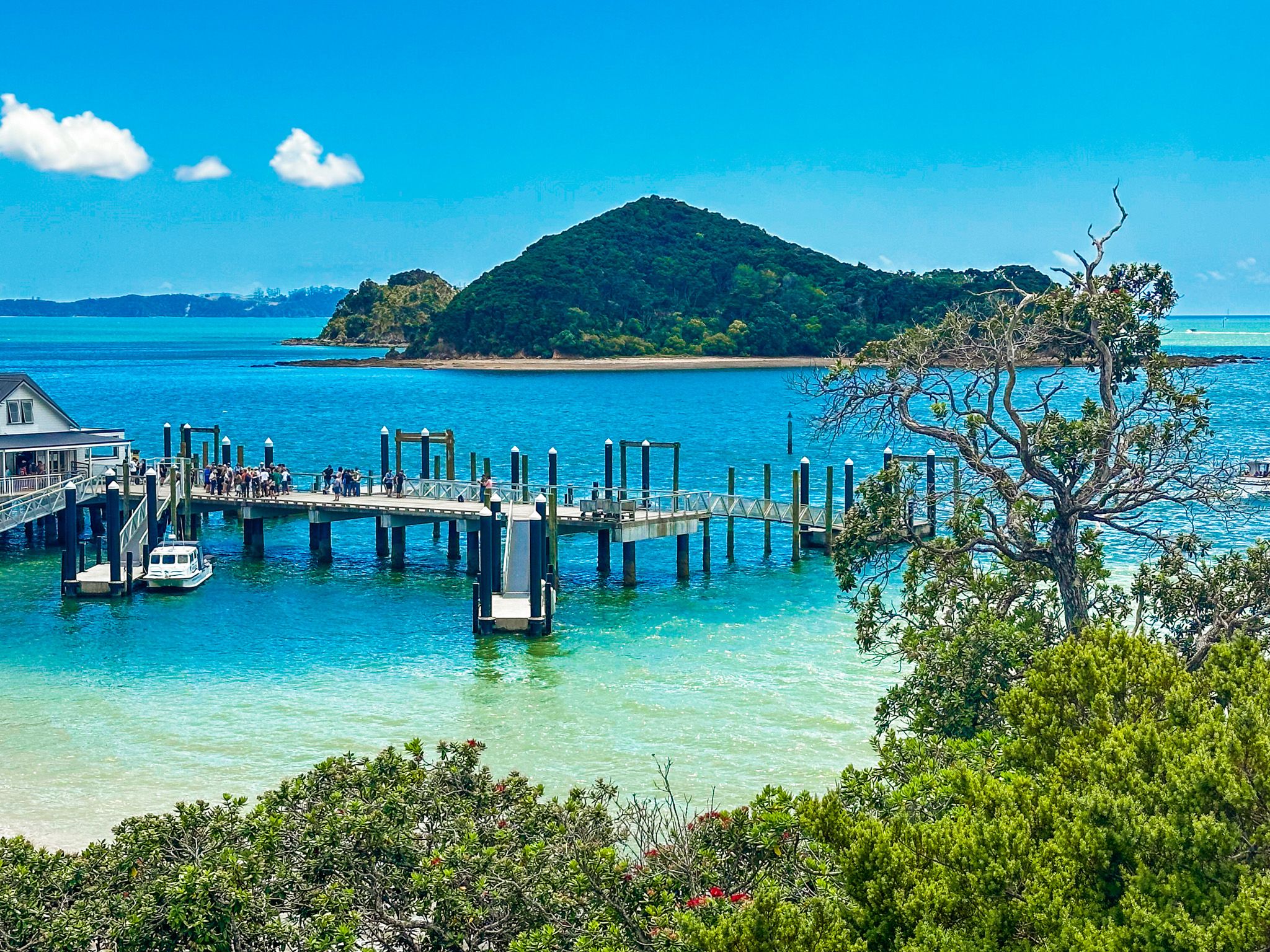
Maritime Hub and International Community
Opua is a hub for maritime activities, with a large wharf and a substantial marina. It is the most northerly official port of entry for ocean-going private boats to New Zealand, contributing to the town's vibrant mix of international residents. This, along with a range of boat-oriented services and easy access to the water, makes Opua a popular destination for boaties.
Getting to Opua
Opua is located on State Highway 11, a 9-minute drive (6.3 km) from Paihai. From Auckland, the drive is 3 hours and 223 km.
Other nearby places to visit include Historic Russell, Te Naiki, Te Ti Bay, Waitangi and Haruru Falls.