Exploring Pauanui Hill and Trig Track
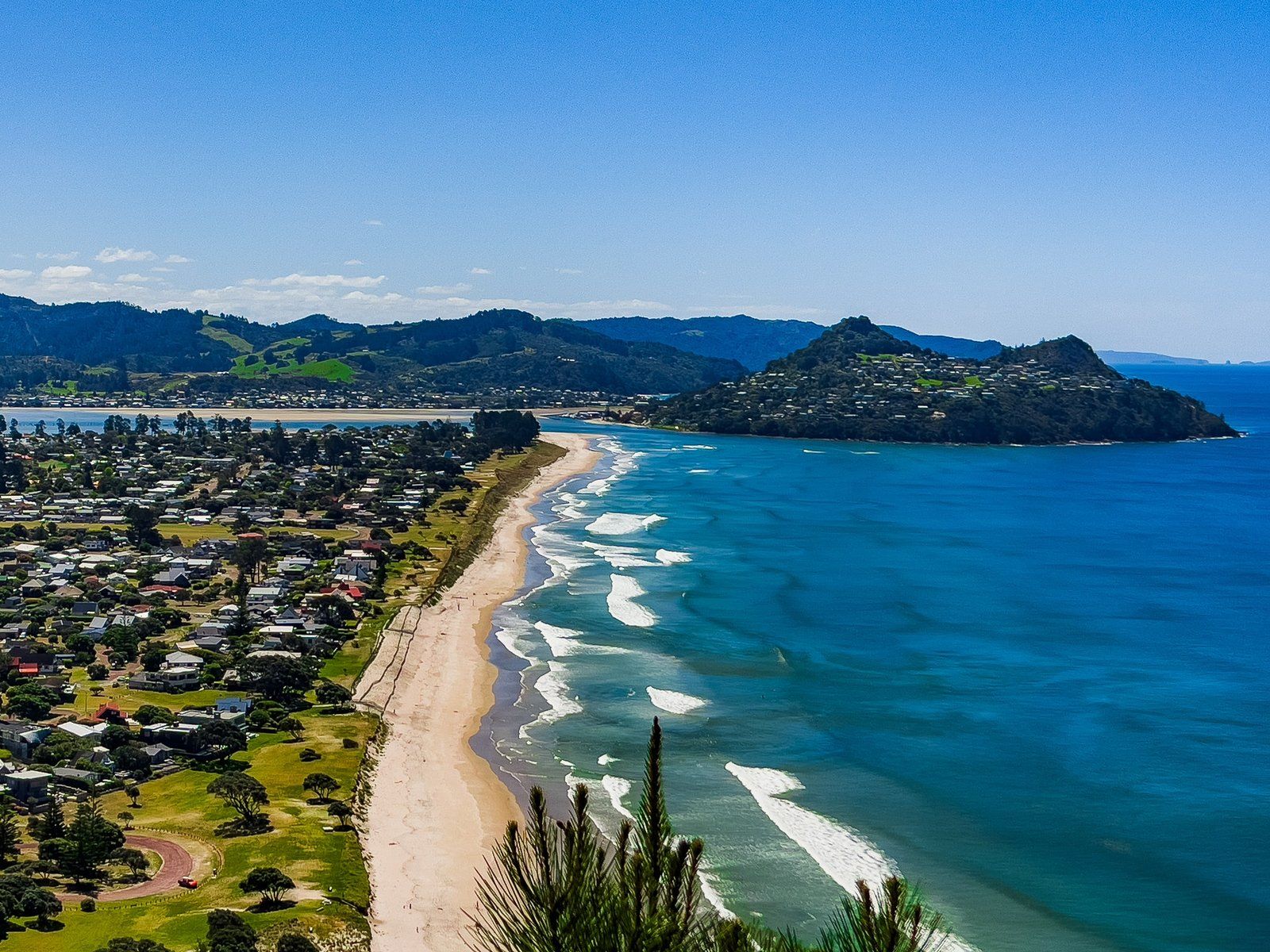
Located at the southern end of Pauanui Beach on the Coromandel Peninsula, Pauanui Hill rises to 397 metres and is a rewarding destination for hikers. The Pauanui Trig Track leads to a rocky volcanic pinnacle, offering spectacular views that make the challenging hike worthwhile.
Challenging Ascent and Scenic Views
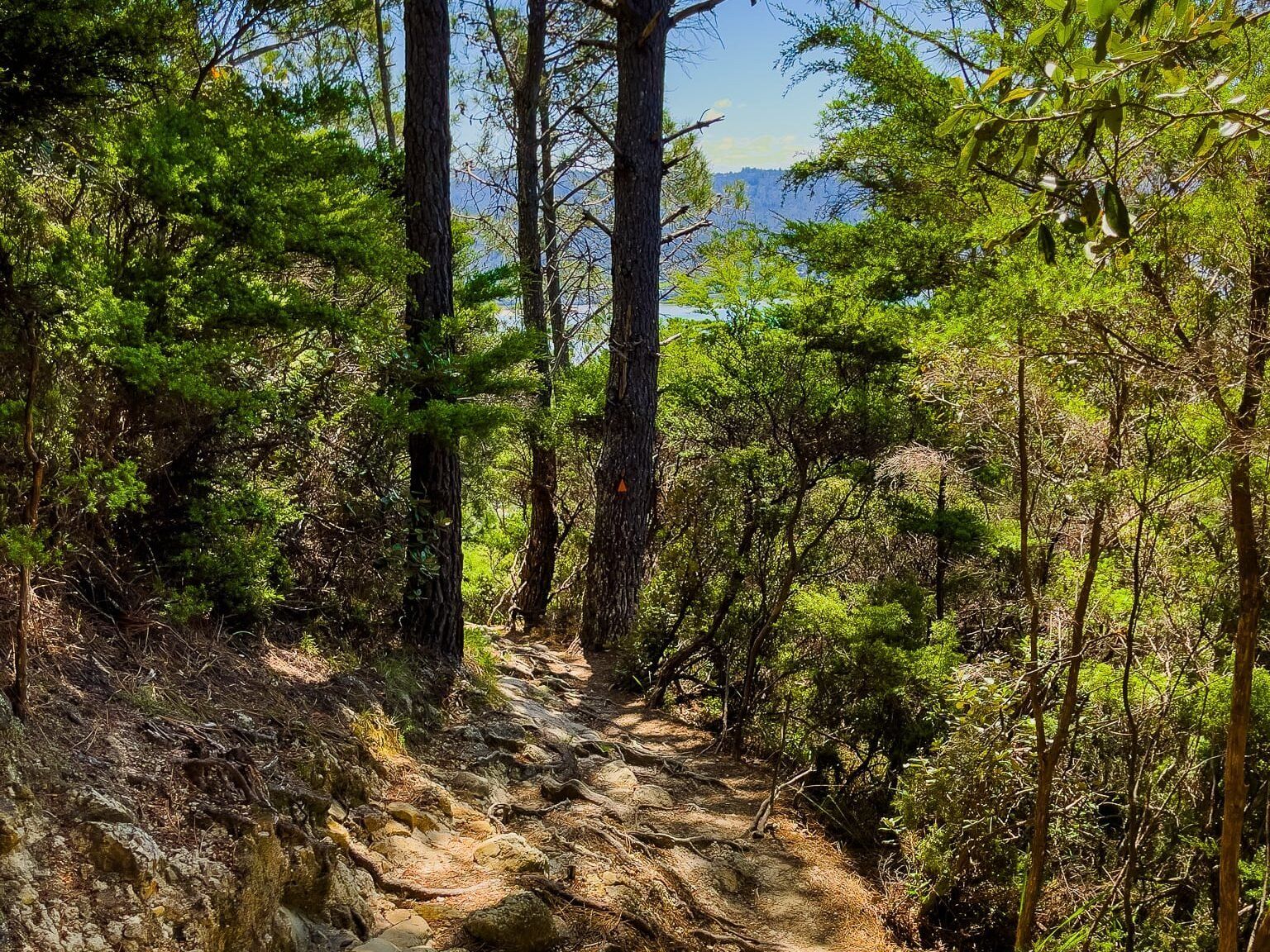
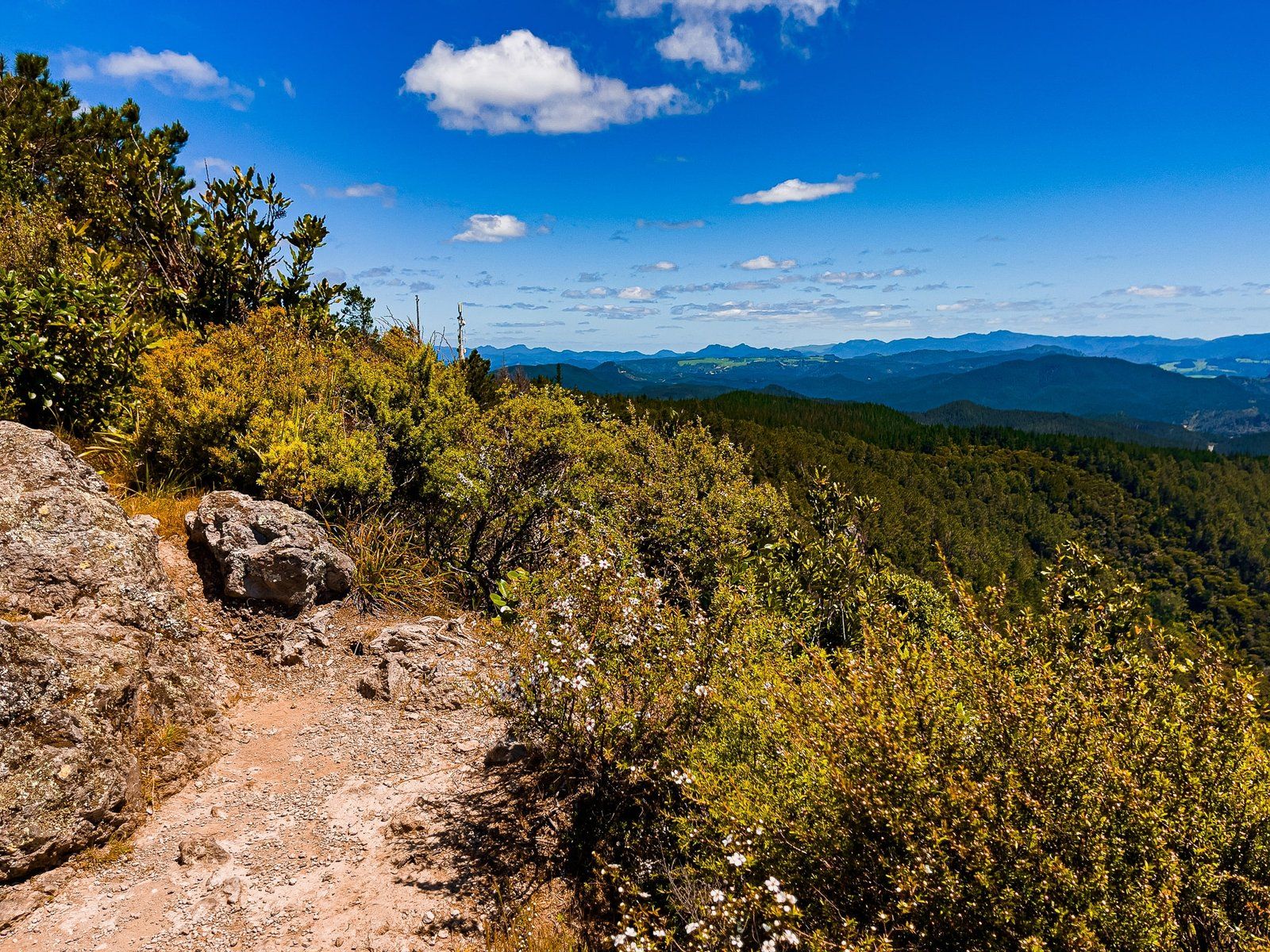
The Pauanui Trig Track is a steep climb on the north side of the hill, making it one of the more strenuous short hikes on the Coromandel's east coast. The initial 280 metres are especially tough, with the track heavily worn and rutted in places. However, the effort is rewarded with excellent viewpoints along the way, with exotic pines and native regrowth providing a picturesque setting.
Reaching the Summit
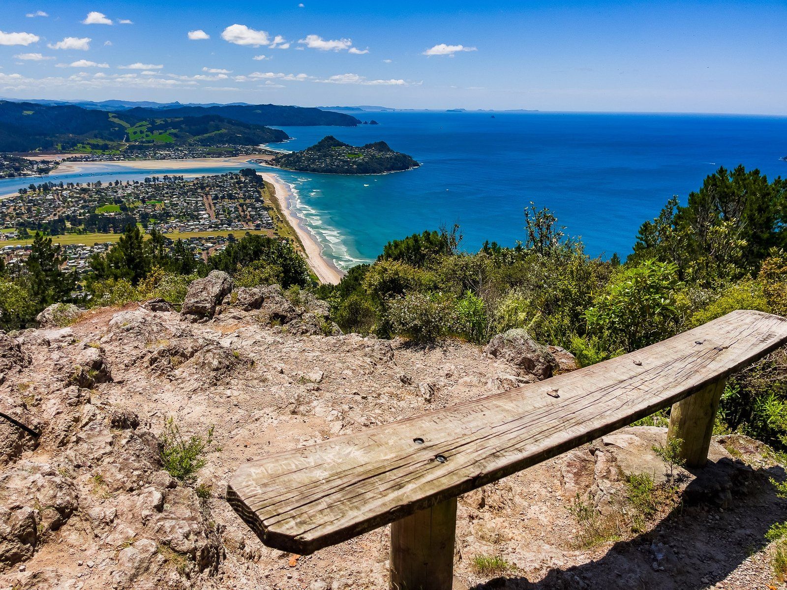
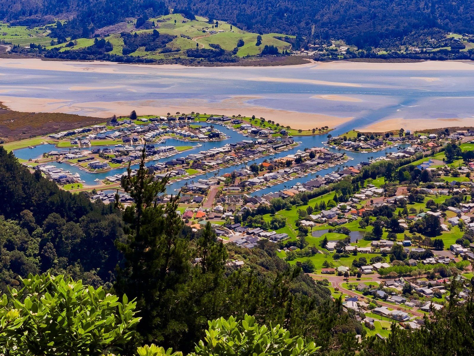
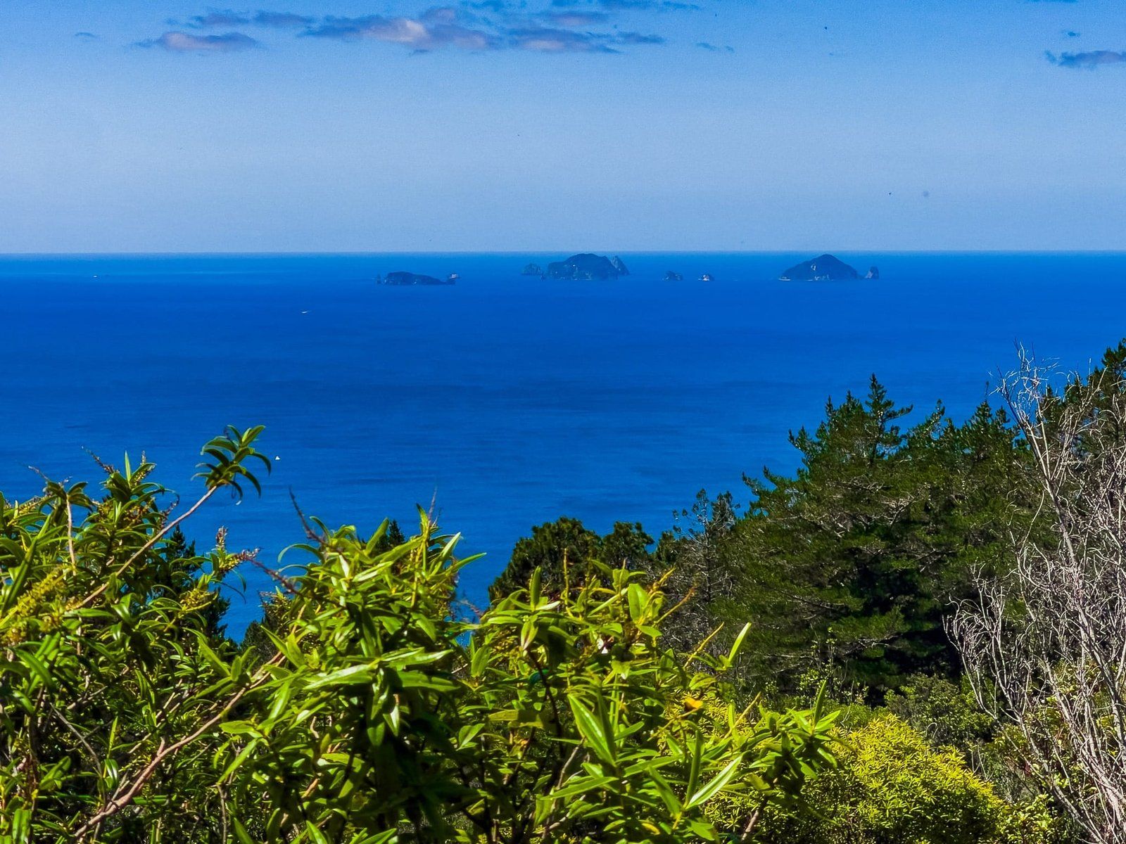
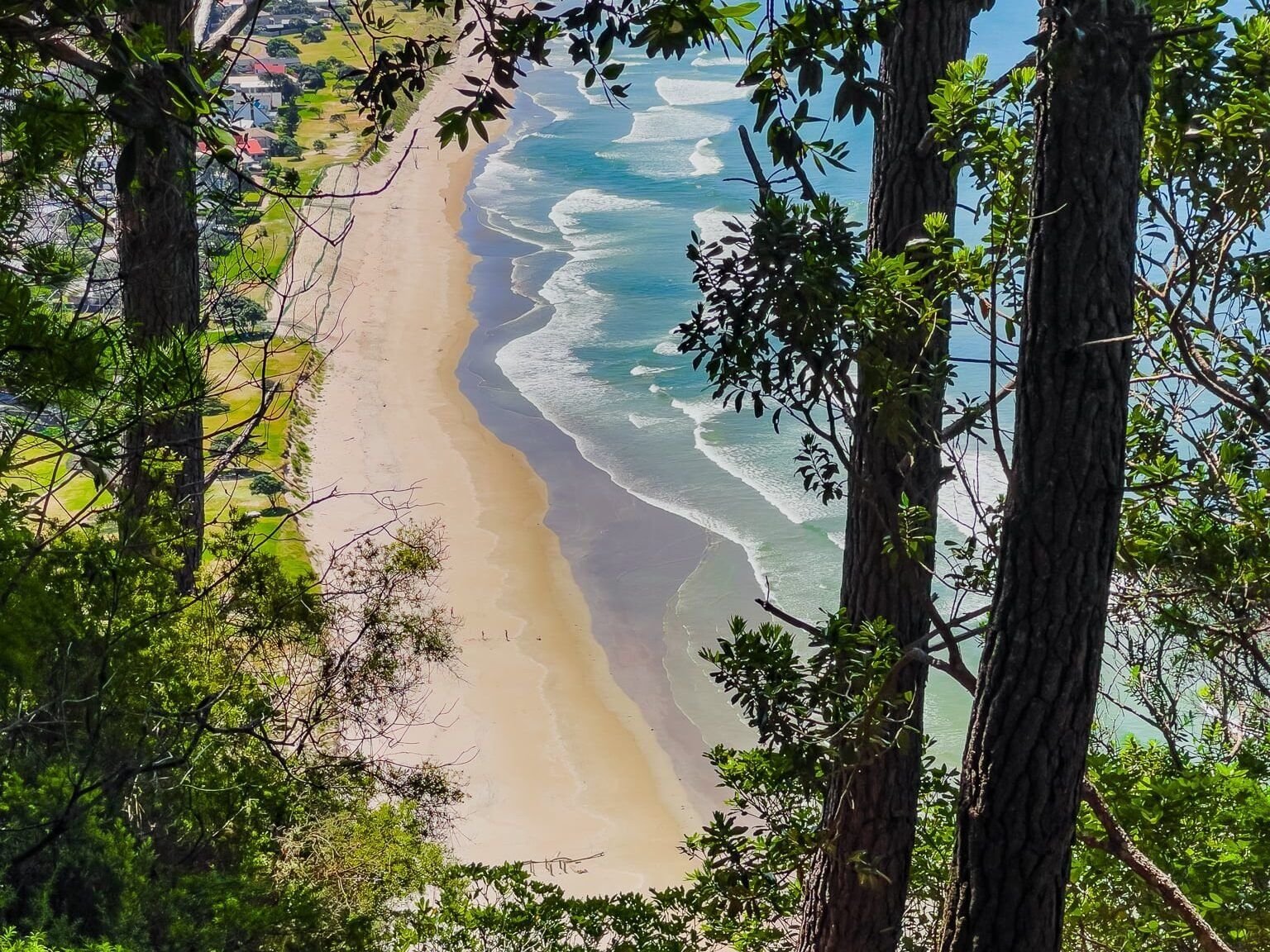
Upon reaching the summit, you have outstanding 270-degree views from the rocky volcanic pinnacle. The panorama includes Pauanui, Tairua, and the Coromandel Range, with the Pinnacles in the distance. A bench at the top provides a perfect spot to rest and enjoy a picnic, weather permitting. For those seeking a slightly different perspective, a short walk through the scrub leads to the high-point trig, although the view here is more limited.
Descent Options and Loop Track
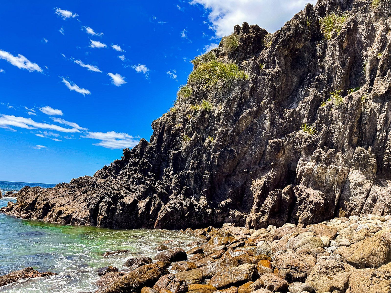
After taking in the views, you can return the way you came or opt for the Pauanui Loop by descending via the track marked Cave Bay on the east side of Pauanui Hill. This track allows you to complete the walk as a loop, returning along the stony shoreline beyond the beach’s south end.
How to Get There
To reach the start of the Pauanui Trig Track, head to the southern end of Pauanui Beach. From Auckland, the drive via the soutehrn Motorway, State Highway 2 and State Highway 25, then Hikuai Settlement road to Pauanui, takes 130 minutes and is 150 km.
Nearby, you can also explore Gumdigger Gully, Hikuai, the Tairua River, and Broken Hills.