Discovering Pegasus Bay
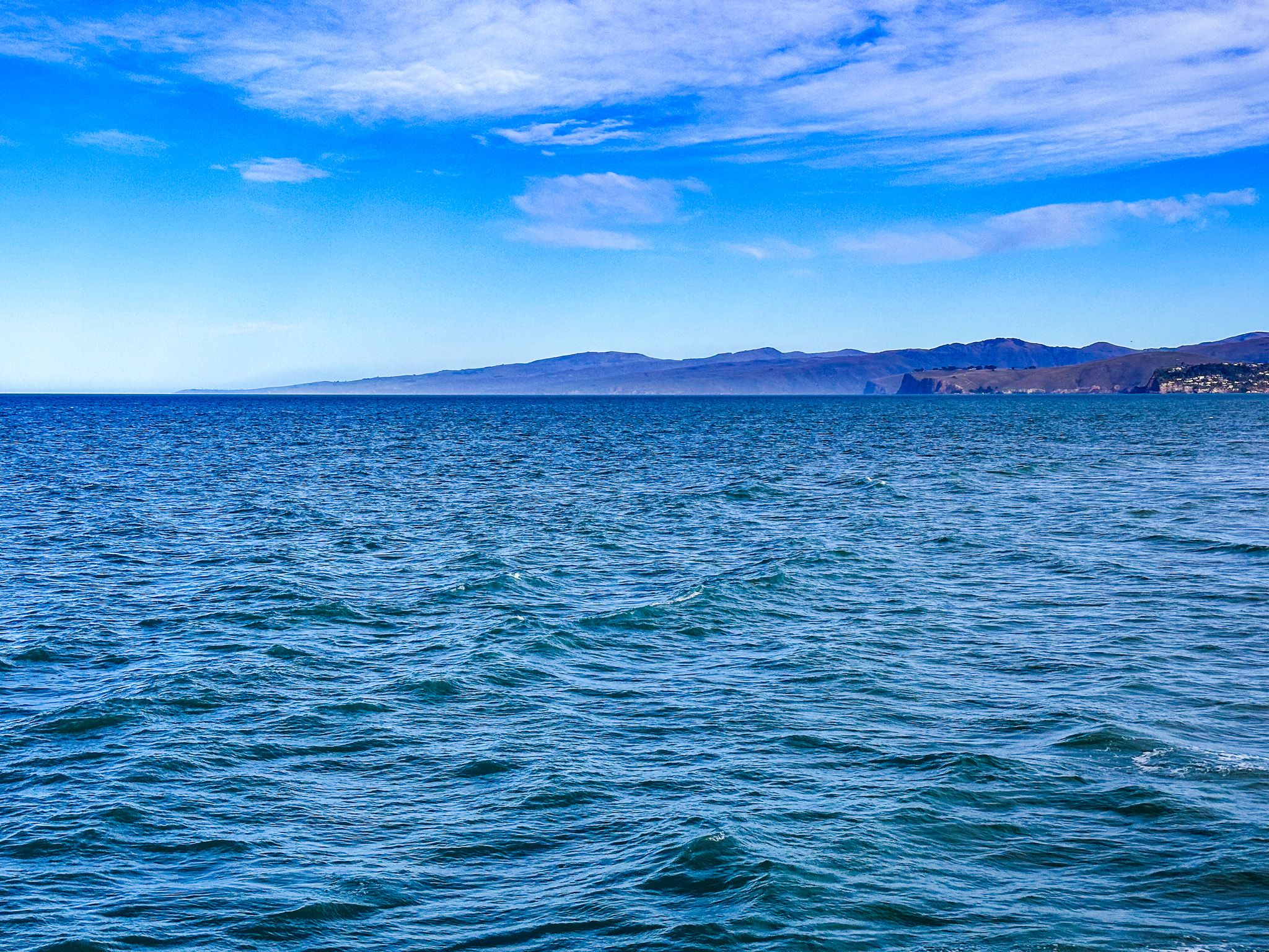
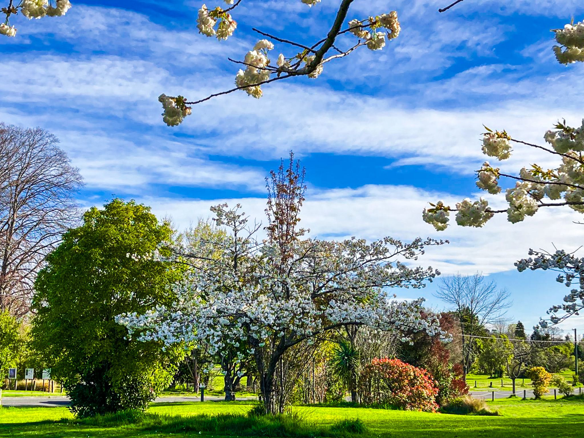
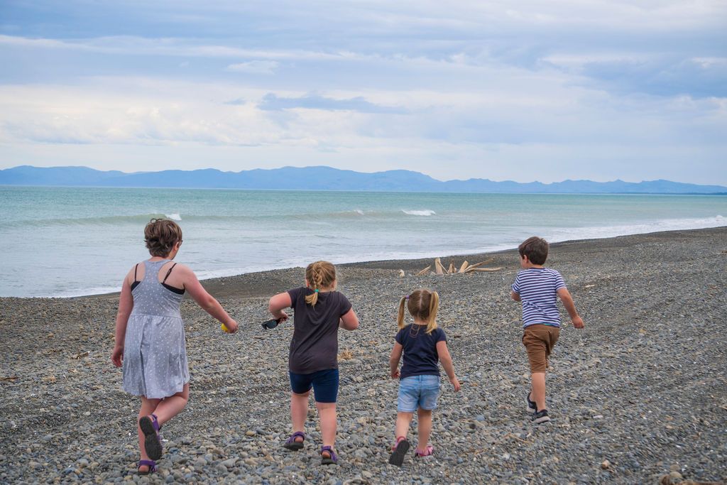
Pegasus Bay is a striking coastal area on the South Island, stretching along the Pacific Ocean between Banks Peninsula, Christchurch and Motunau Beach. With a width of 75 km, the bay is one of the broadest bays on the New Zealand coast. The bay offers a variety of recreational activities, with several beaches, many accommodation options and shared tracks and walkways along much of its southern half.
Coastal Features and Beaches
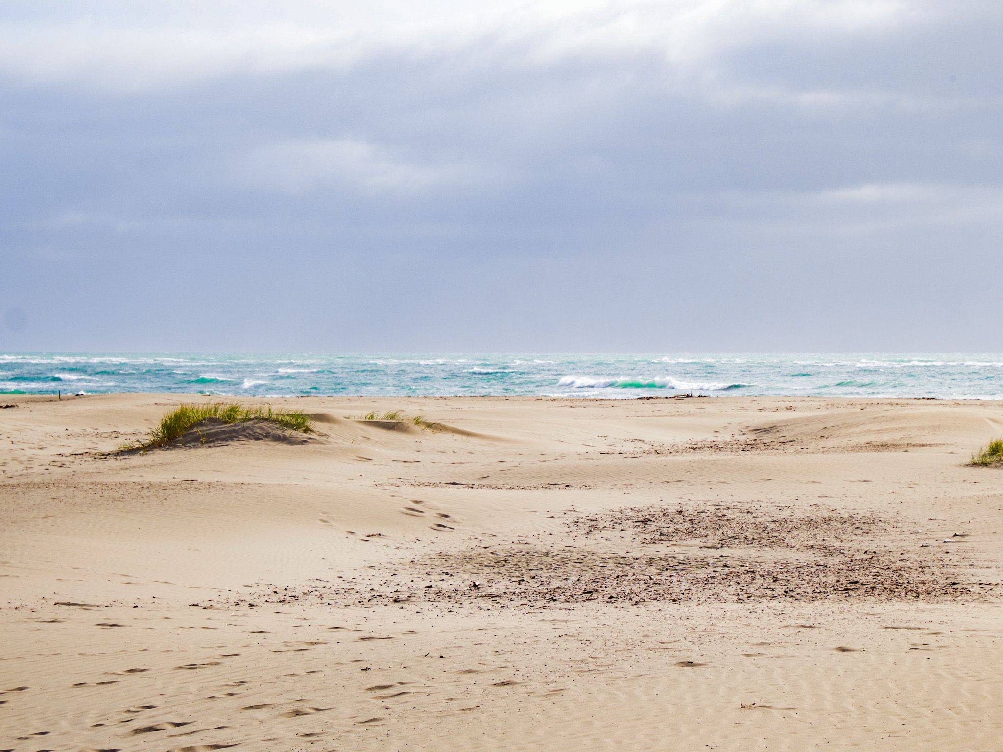
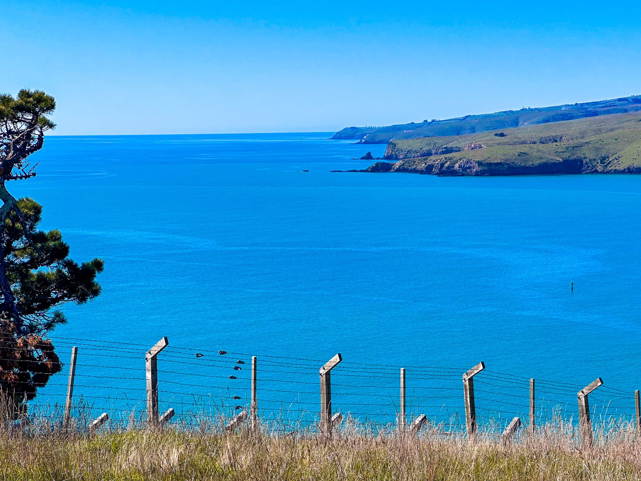
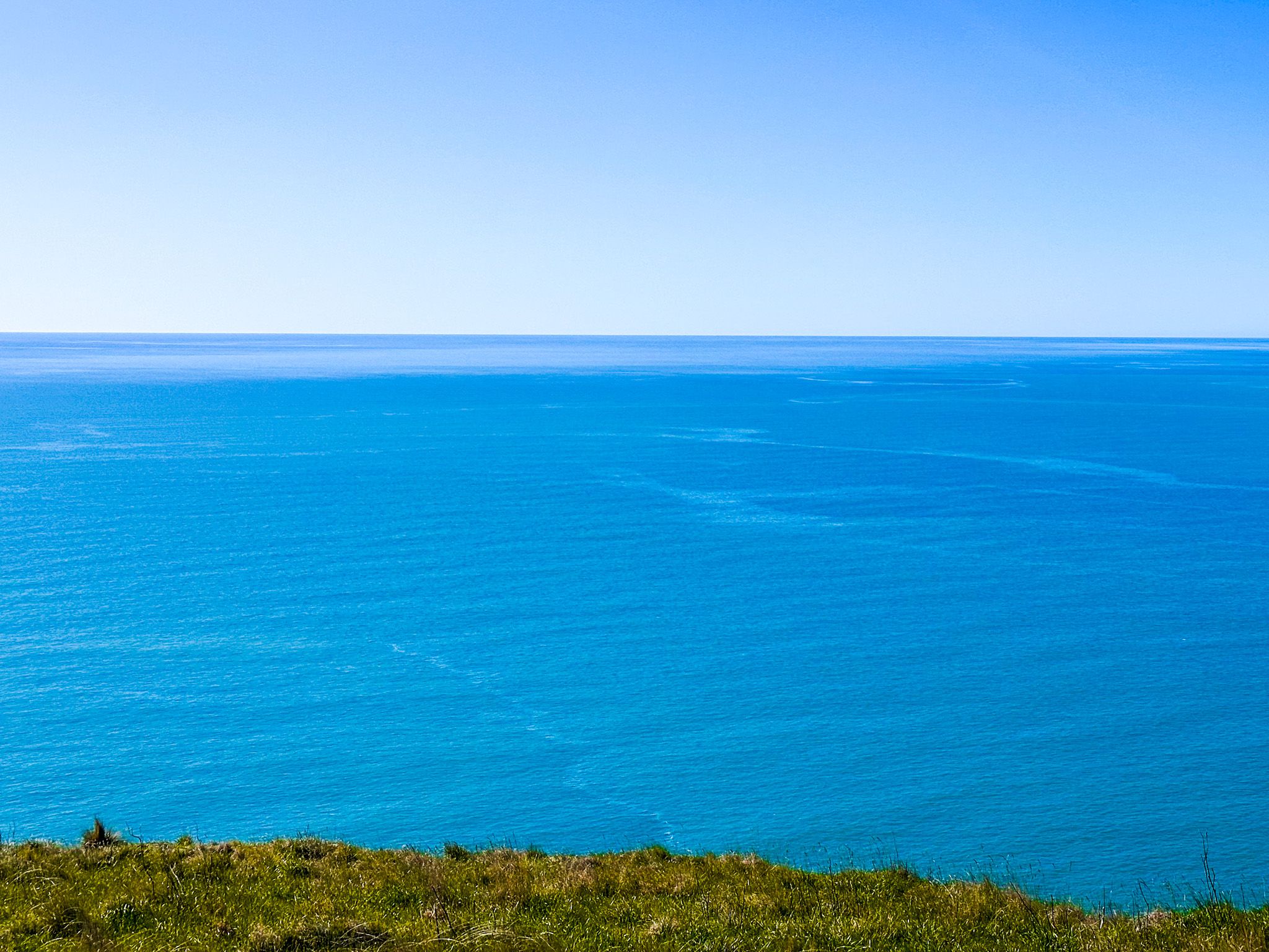
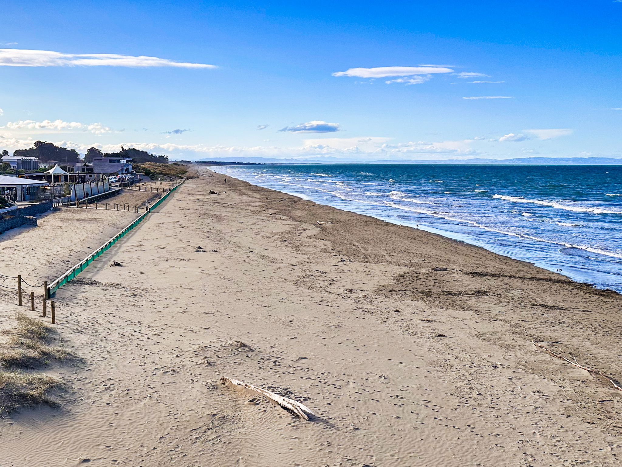
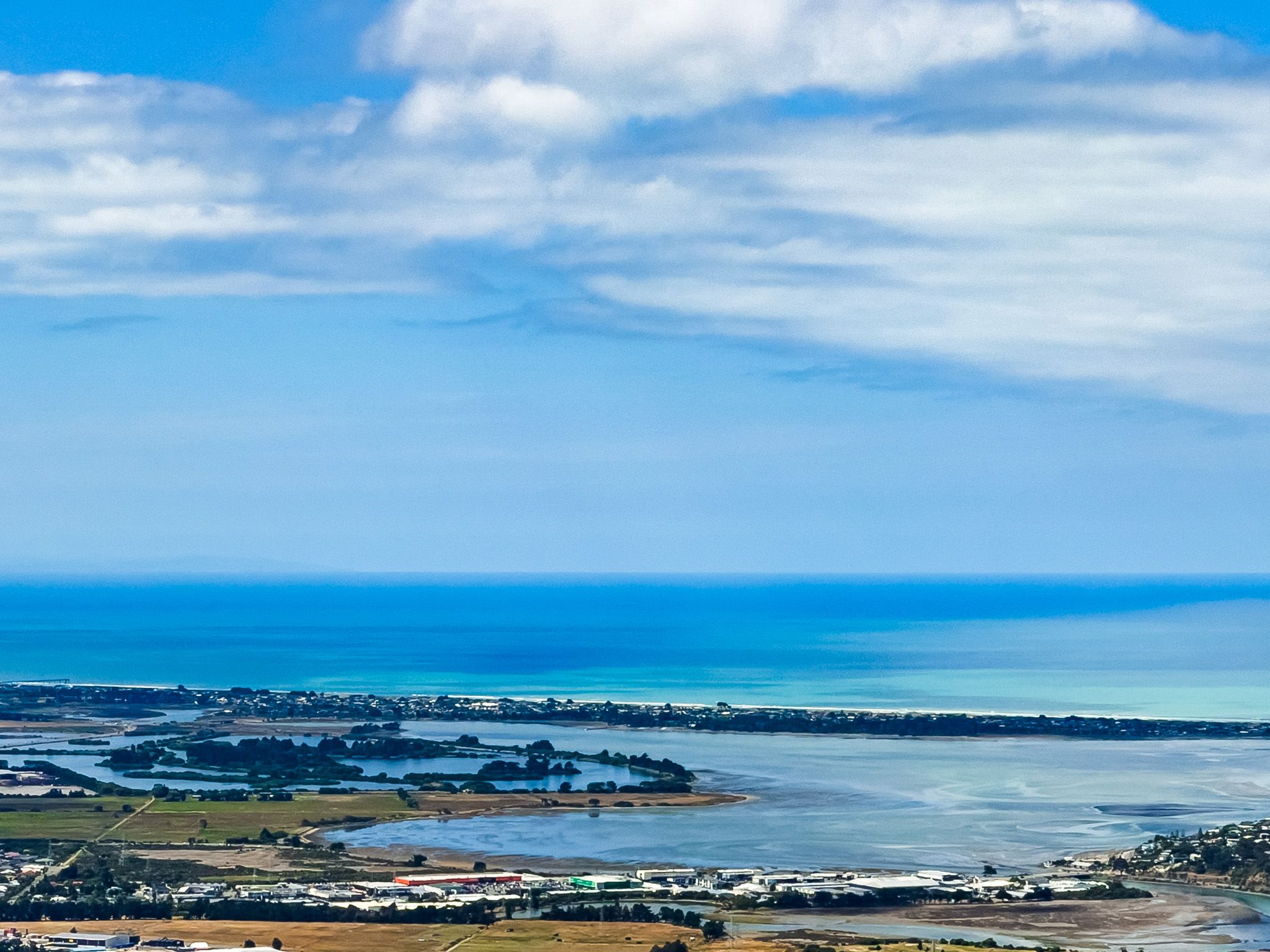
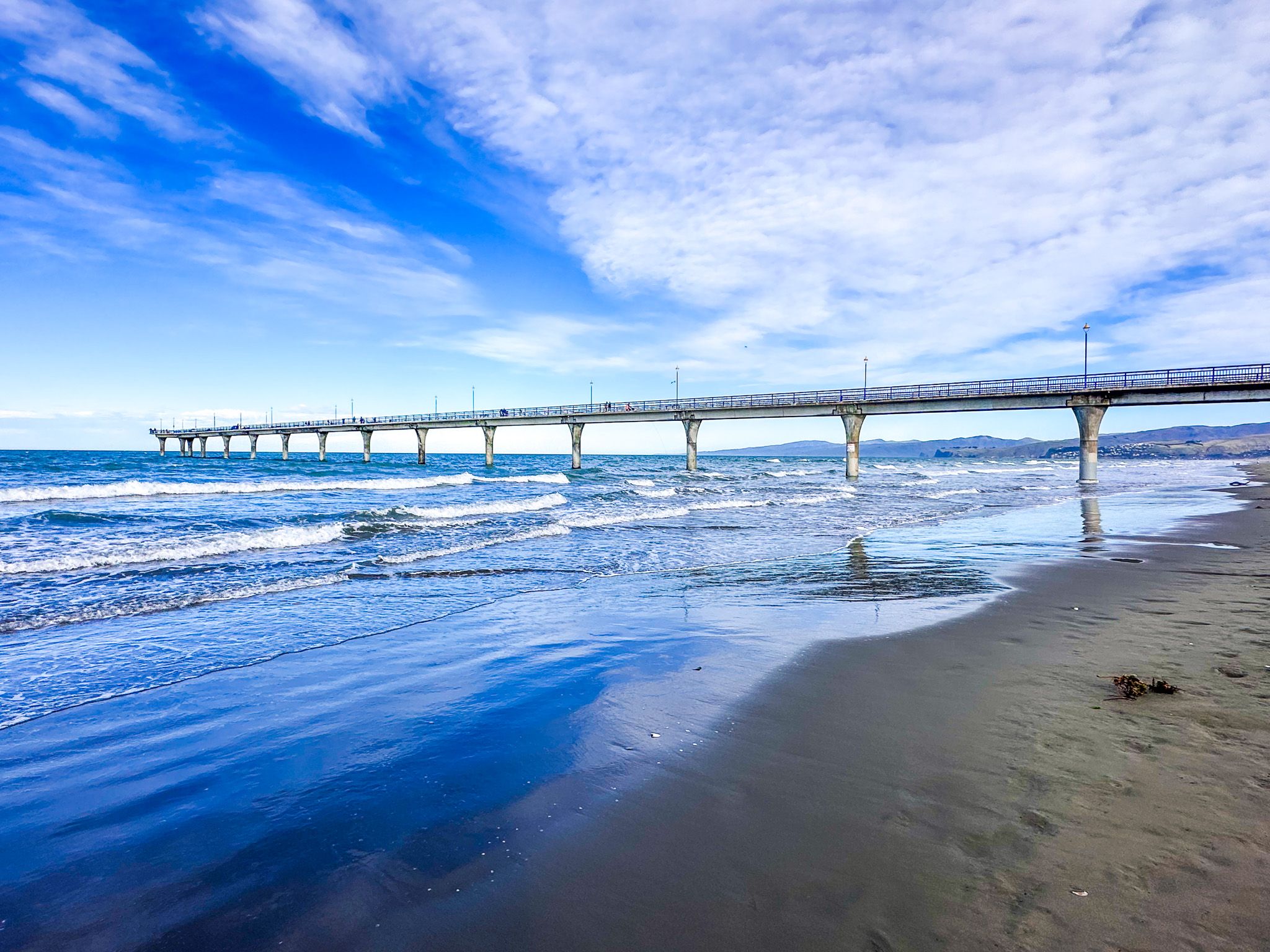
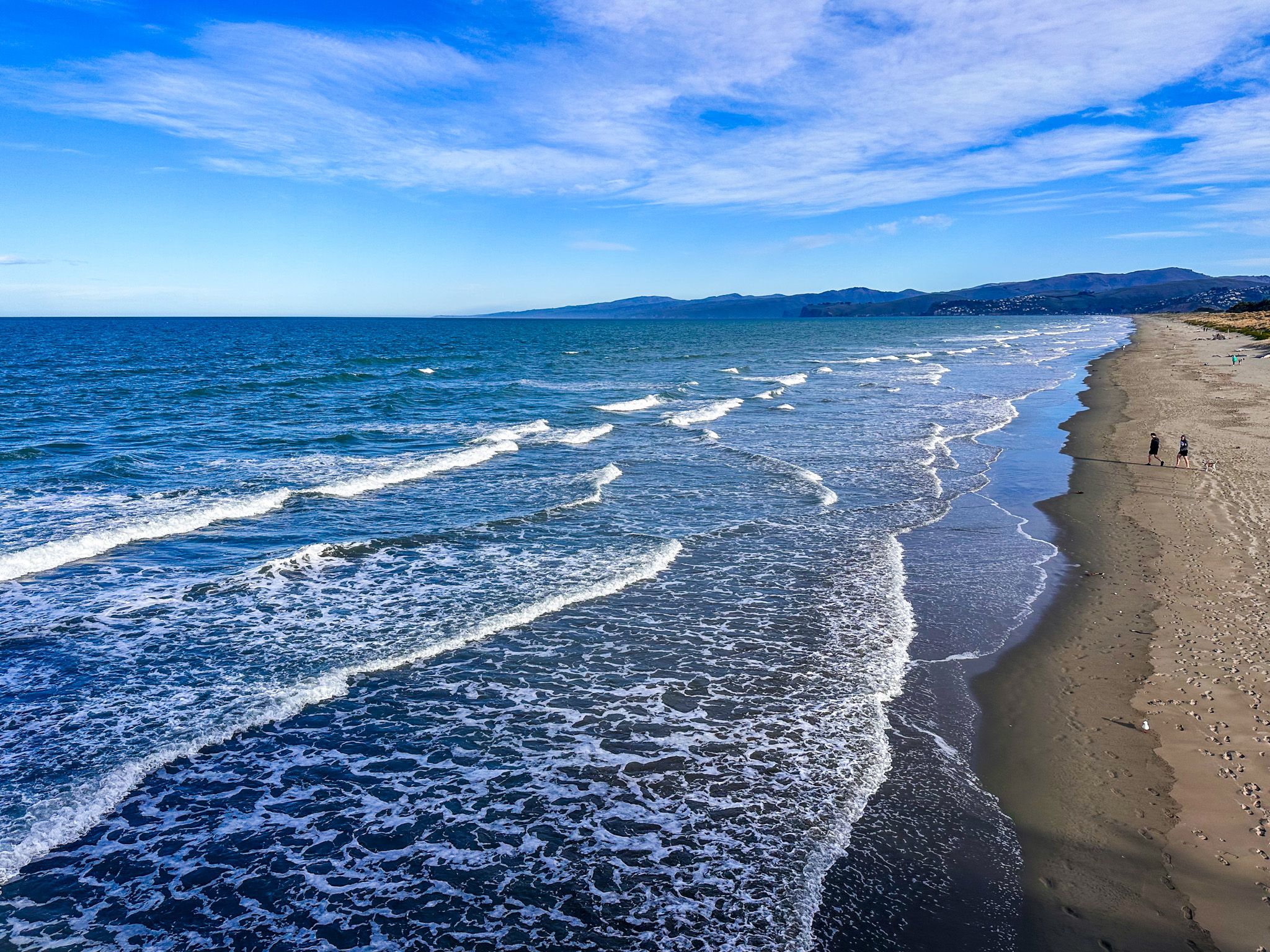
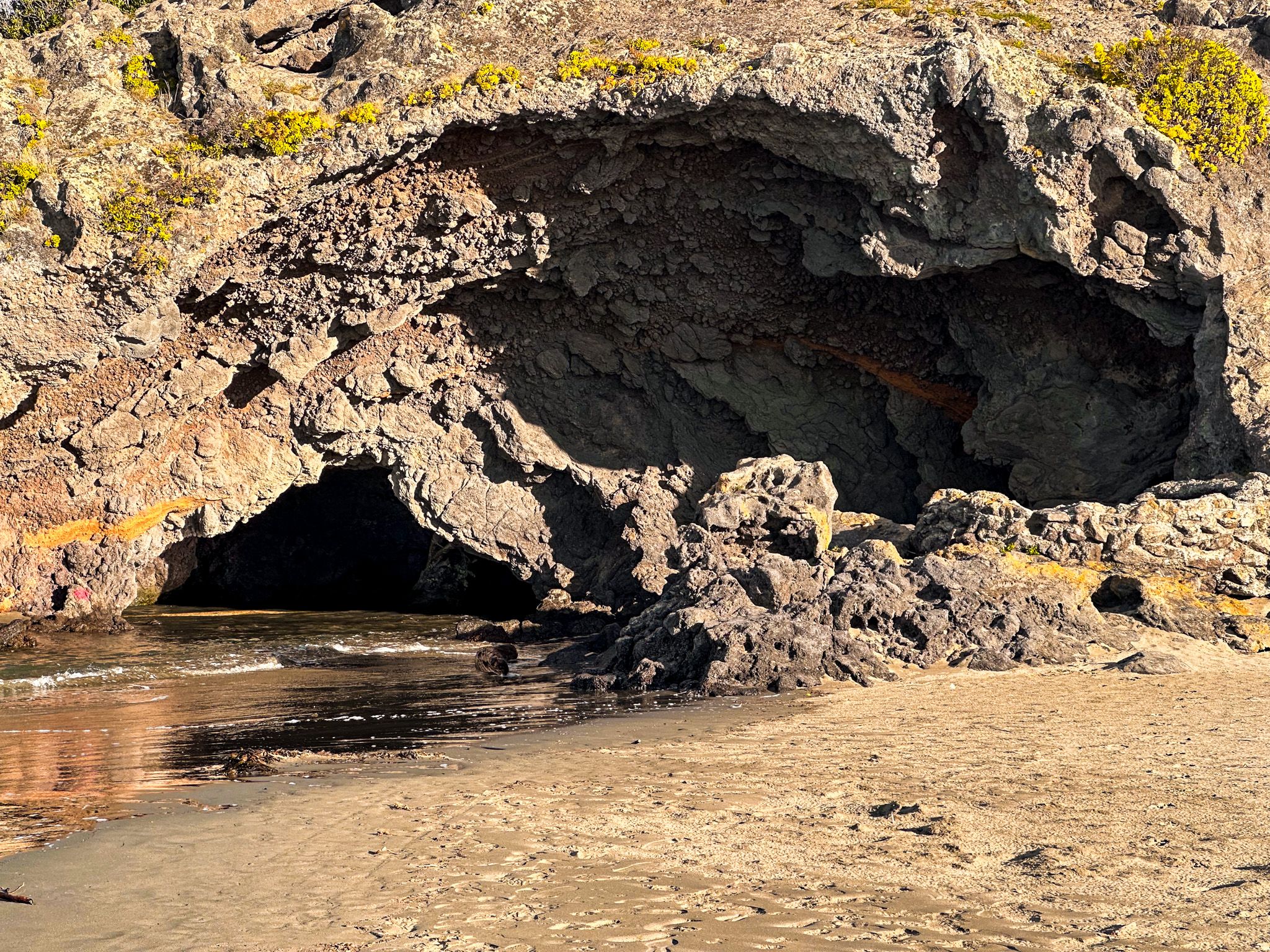
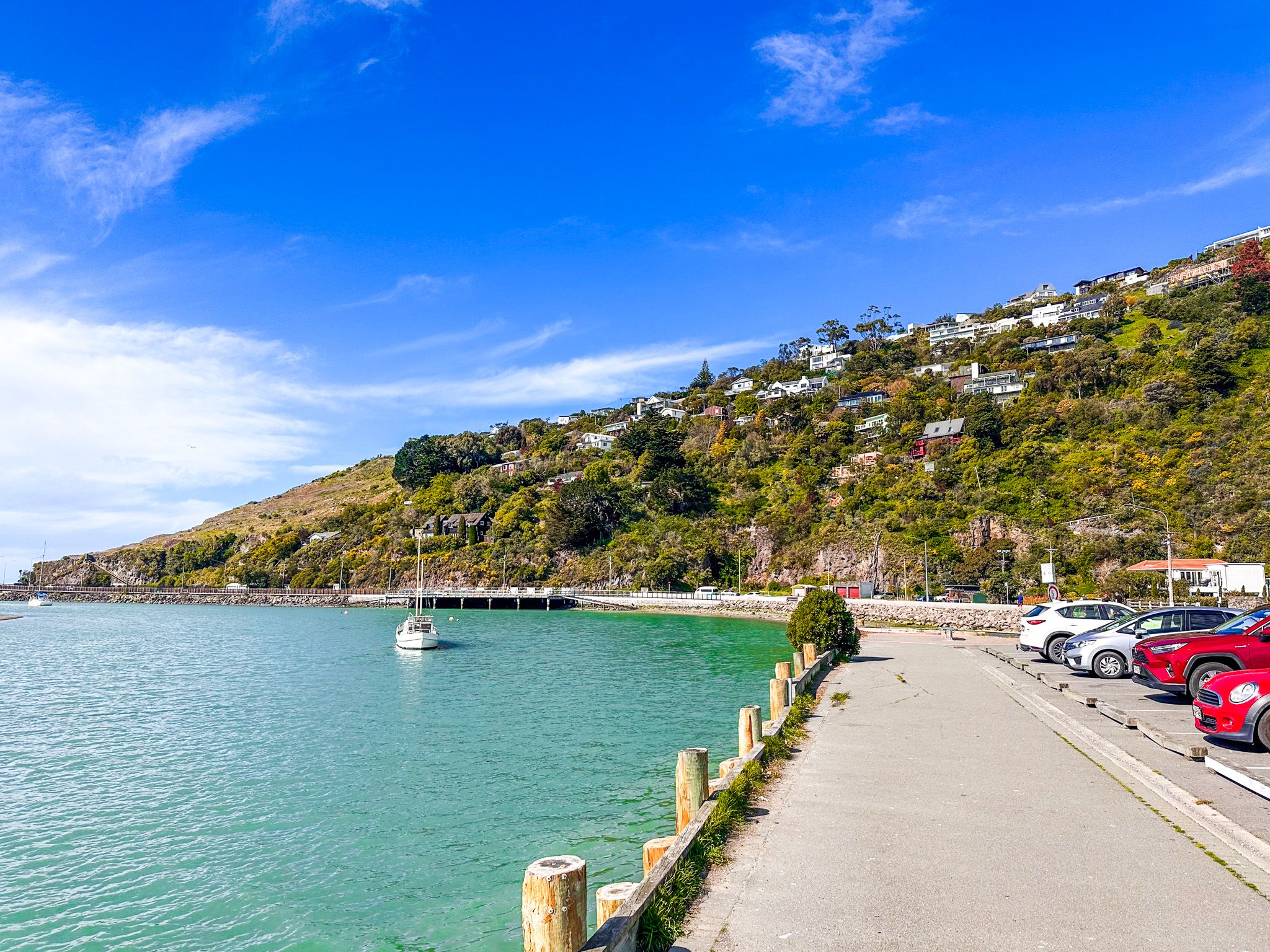
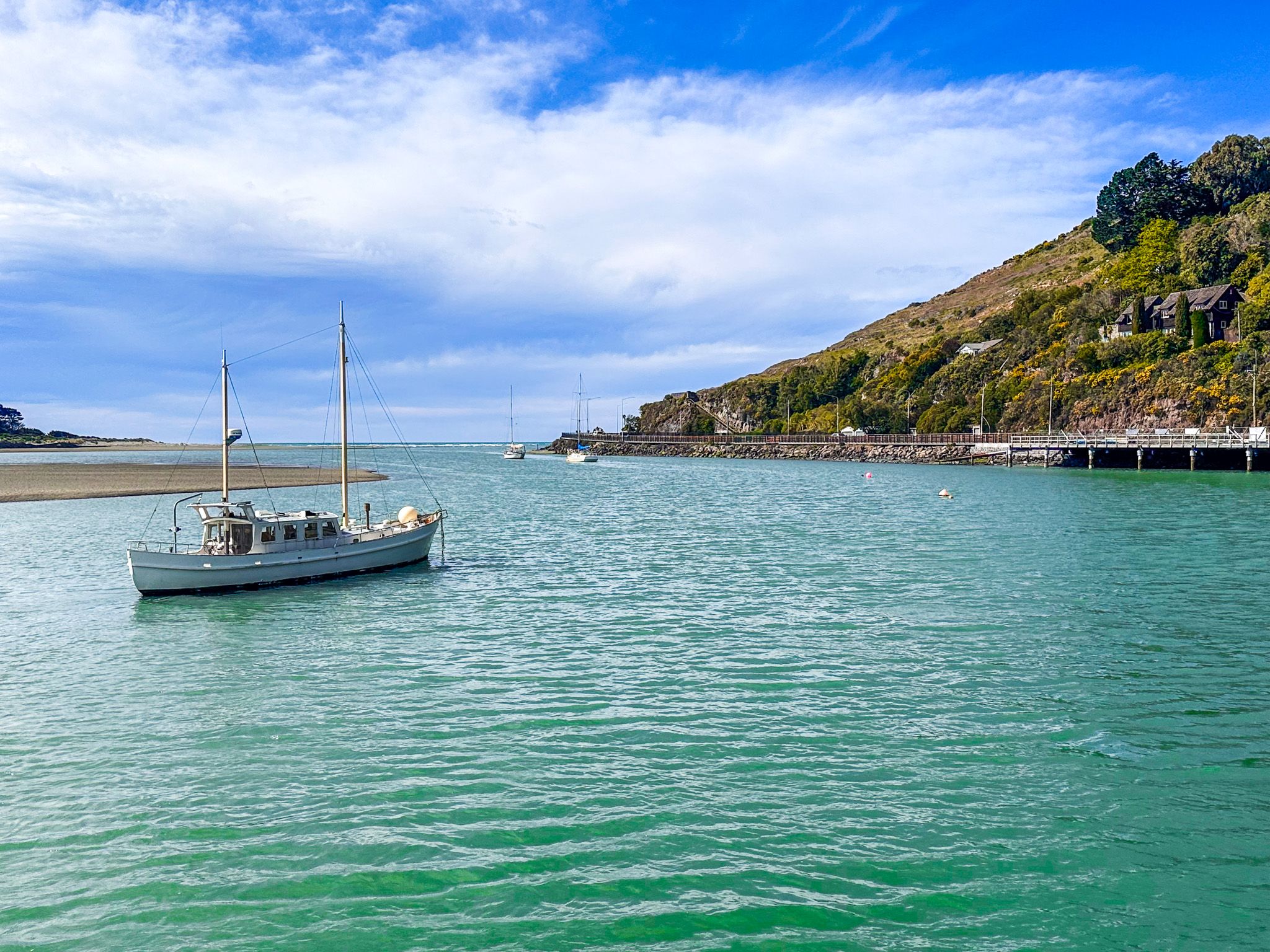
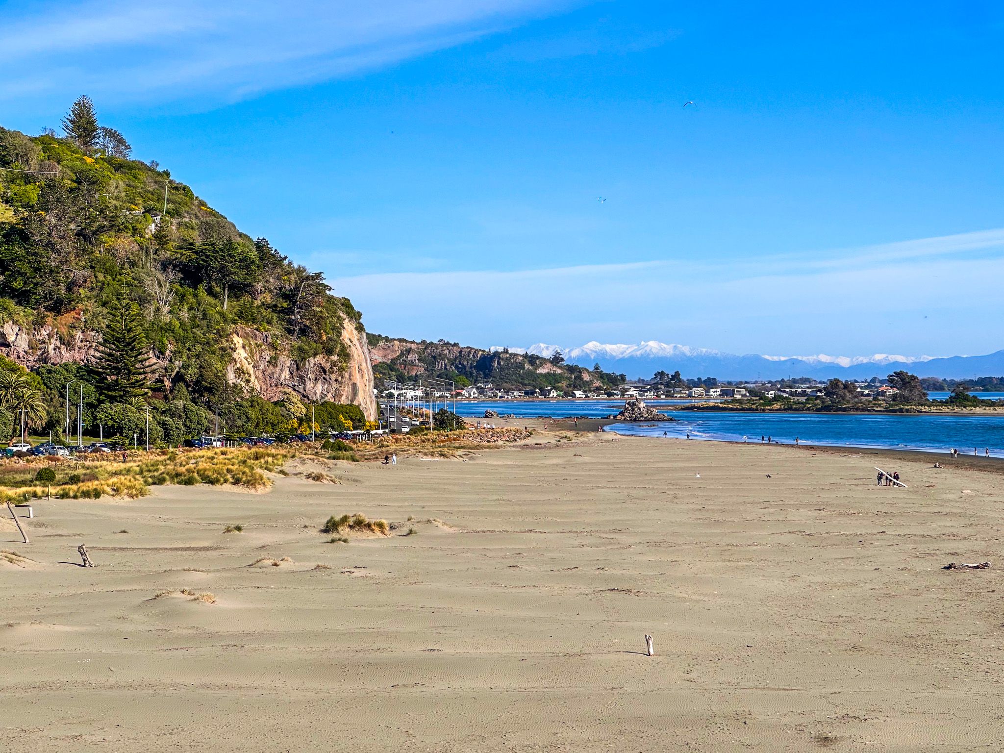
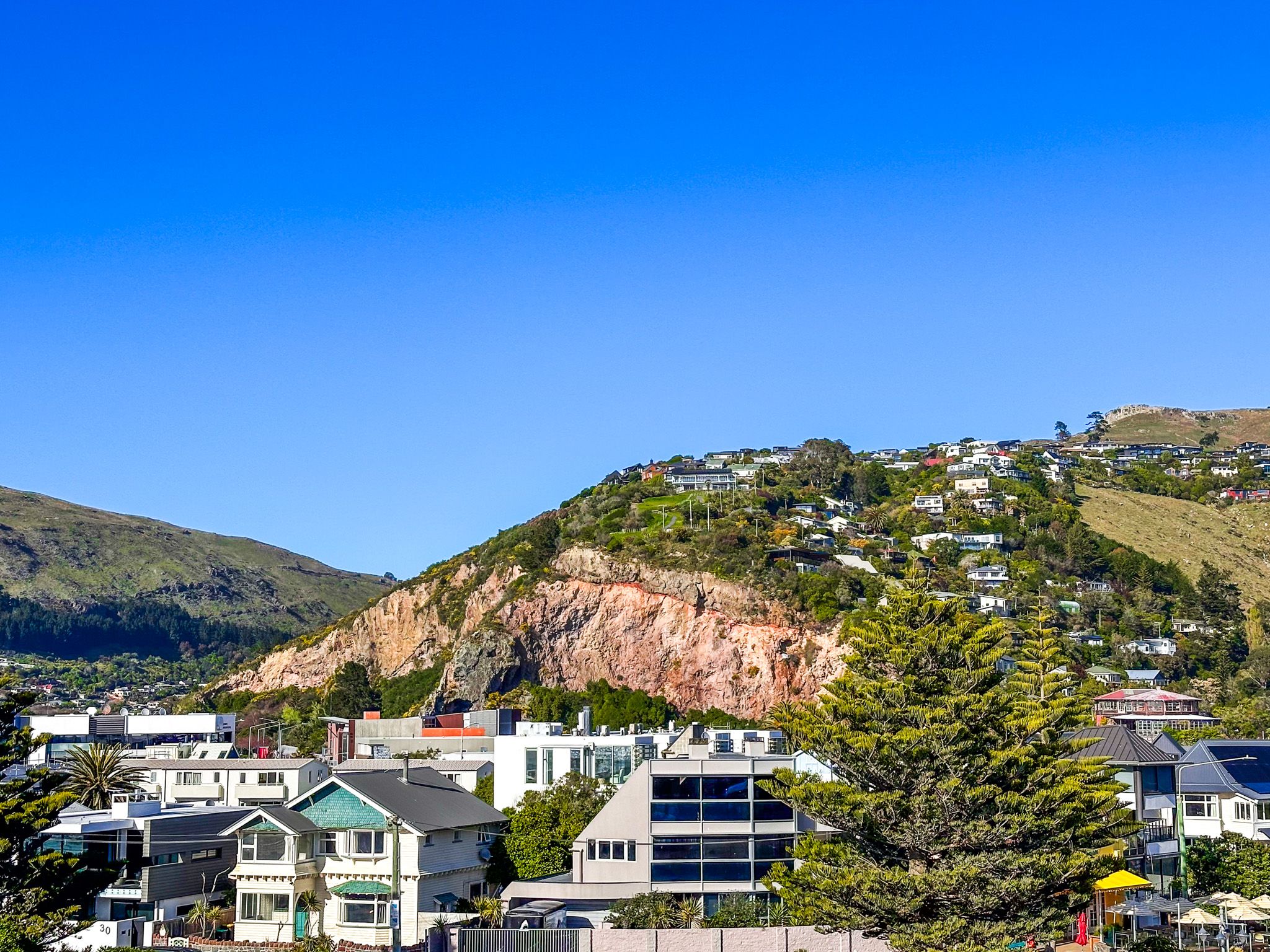
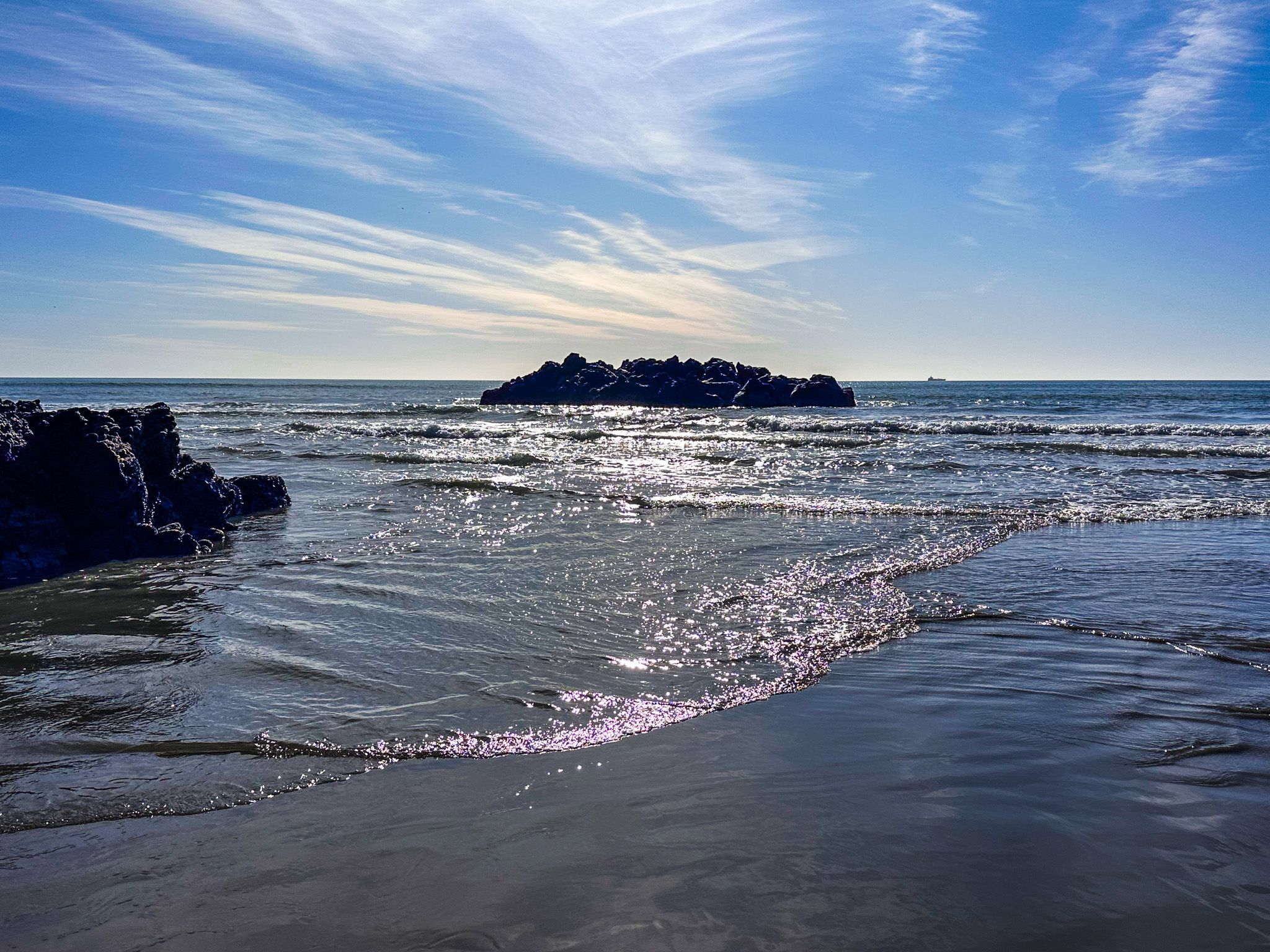
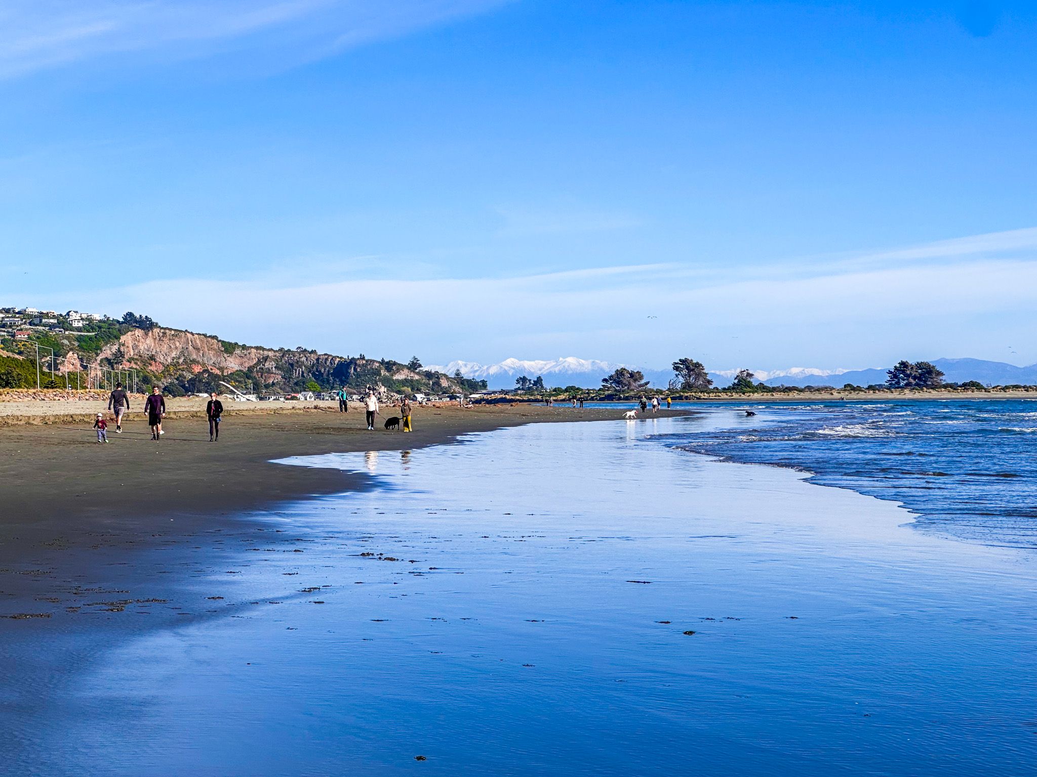
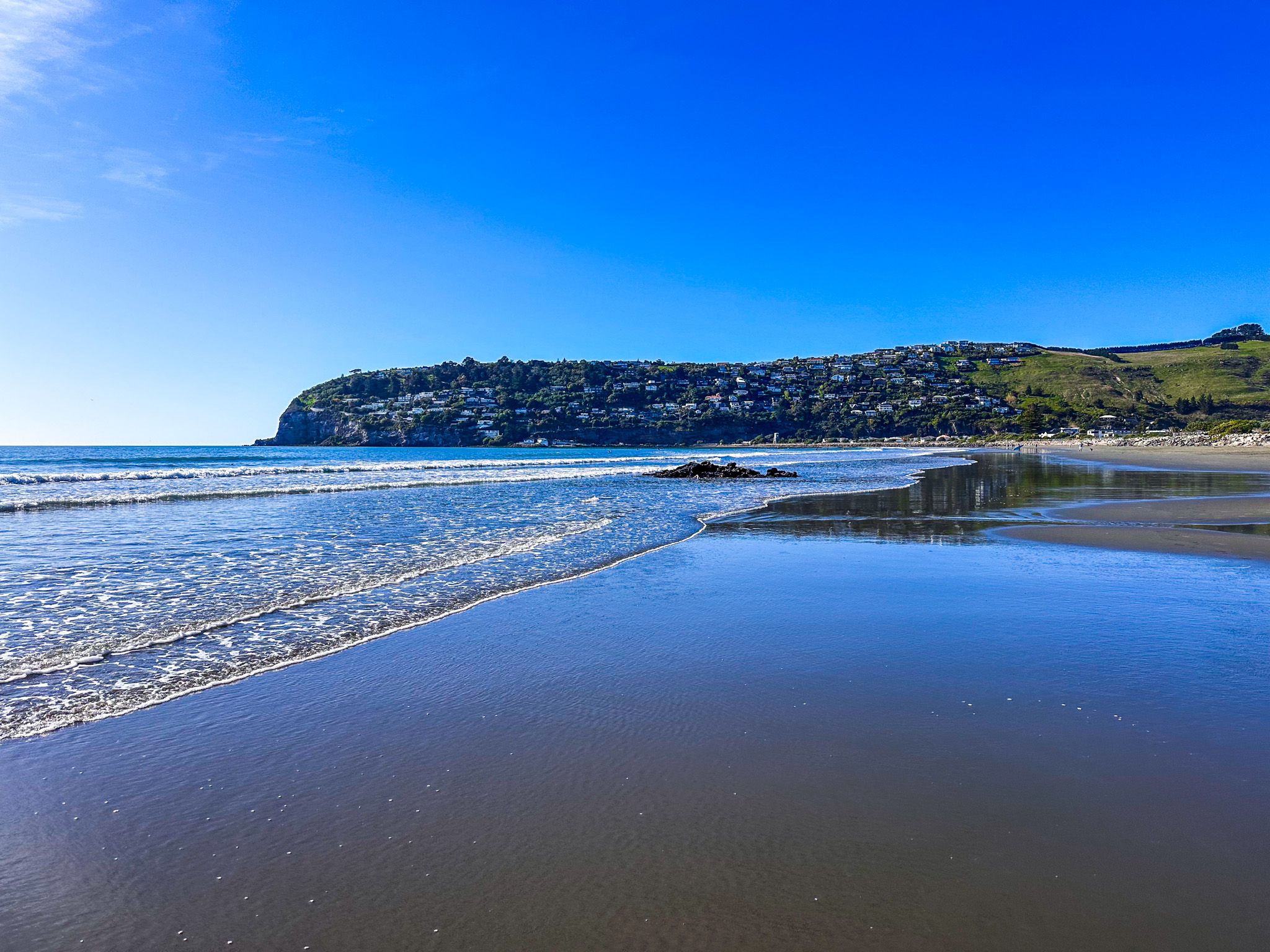
The northern part of Pegasus Bay is characterised by cliffs and stony or sandy beaches visible at low tide. As you move south, the landscape transitions into a 50 km sandy surf beach, extending from the Waipara River mouth near Amberley Beach to the Christchurch suburbs of New Brighton and the sandspit of Southshore. This sandspit encloses the Estuary of the Heathcote and Avon Rivers, known as Ihutai. The suburb of Sumner and the rugged Port Hills are located on the south side of the estuary mouth. Further along, between Sumner and Banks Peninsula, you can explore the more secluded beach of Taylors Mistake, Awaroa / Godley Head, and Lyttelton Harbour / Whakaraupō.
Rivers and Wildlife
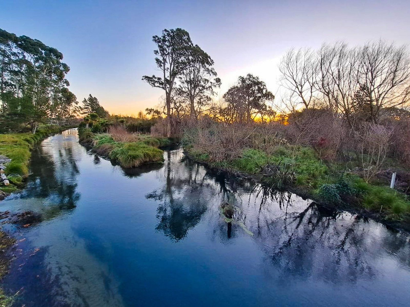
Several rivers flow into Pegasus Bay, including the Motunau, Waipara, Ashley/Rakahuri, Waimakariri, and Avon/Ōtākaro Rivers, along with the Ōpāwaho/Heathcote River via the Avon Heathcote Estuary/Ihutai. These river mouths often mark the boundaries of various beach names along the sandy coast.
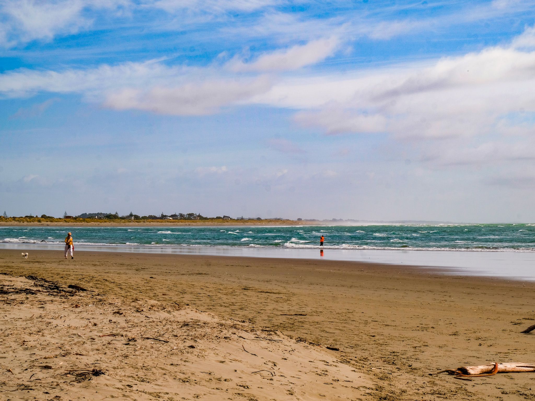
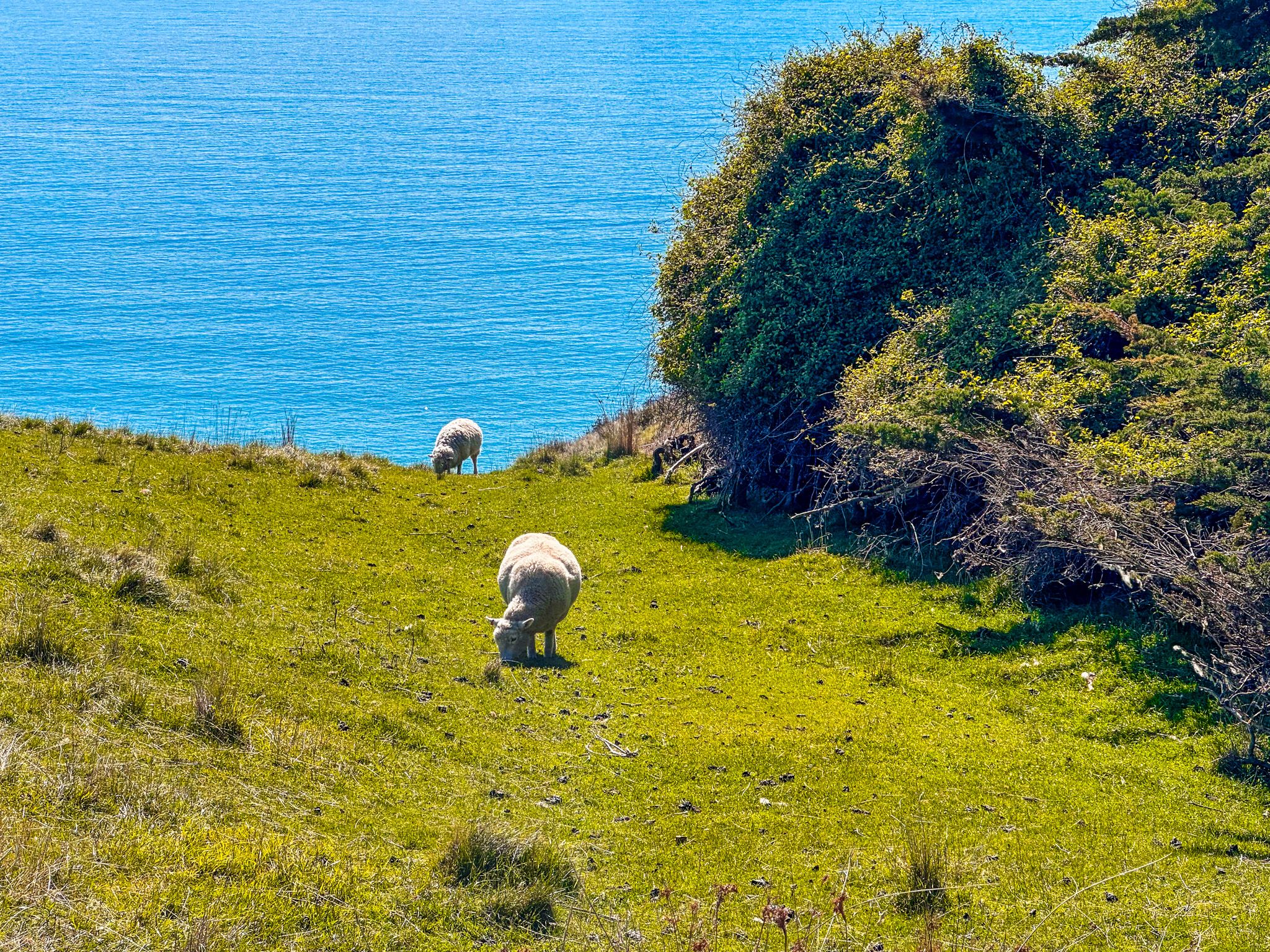
From New Brighton heading north, you can easily access beaches such as Waimairi, Spencerville, Kaiapoi, Woodend, Pegasus, Waiuku, Leithfield, and Amberley. These areas often feature surf life-saving club facilities and camping spots, some sheltered by exotic pine plantations. You might spot Hector dolphins in the surf or catch glimpses of migrating whales or seals around the rocky areas.
Historical Context
In the early days of European exploration, Pegasus Bay was referred to as Cook's Mistake. This name originated from Captain James Cook's initial charting of the South Island, where he incorrectly identified Banks Peninsula as an island.
Captain Samuel Chase, during the second expedition of the ship Pegasus to New Zealand in 1809, corrected this error by confirming that "Banks Island" was, in fact, a peninsula. The bay was initially charted as "Cooks Mistake" but was later renamed Pegasus Bay after the ship. The ship Pegasus itself had an interesting history, originally named Pegaso before being captured by the British frigate HMS Cornwallis and renamed in 1807.
Cultural Significance
While there is no specific Māori name for Pegasus Bay, the sandy beach between the Ashley River and Avon Heathcote Estuary is known as Kairaki, an ancient name of unknown meaning for the Pacific. Additionally, a fishing ground east of Pegasus Bay is called Komaka a Te KaiKai a Waro, meaning the food store belonging to Waro.
How to Get There
Pegasus Bay can be accessed from various points along the coast. The southernmost sections, including the beach suburbs of Christchurch, provide the most convenient entry. If you're travelling from Christchurch, head north towards New Brighton. Alternatively, you can explore the northernmost beach by following State Highway 1, then following signs for Amberley Beach. There are several other signposted entry points along the way.