Into the Gorge on the Brynderwyn Road
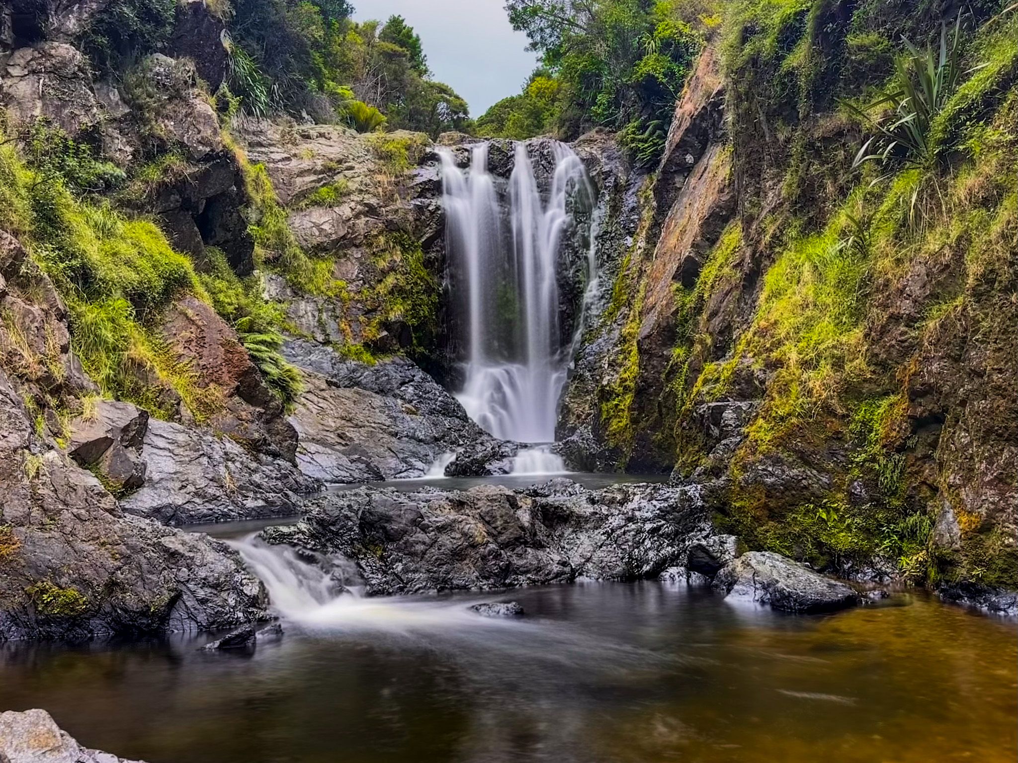
Piroa Falls sits within the Waipū Gorge Scenic Reserve in Northland, roughly halfway between Auckland and Whangarei. The reserve, administered by DOC, is signposted off State Highway 1 at the foot of the northern side of the Brynderwyn Hills, making it a natural stop on the drive north. A short walk leads down through native bush and into a steep-sided gorge, where the Ahuroa River tumbles over a 20-metre drop into a clear pool below. Off the beaten track and poorly signposted, it is the kind of place you could pass a hundred times without knowing it exists.
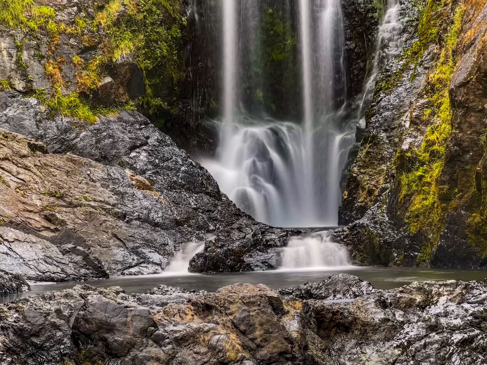
The Falls and the Gorge
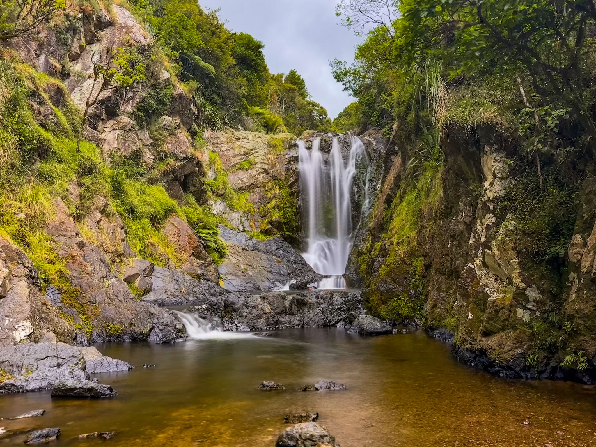
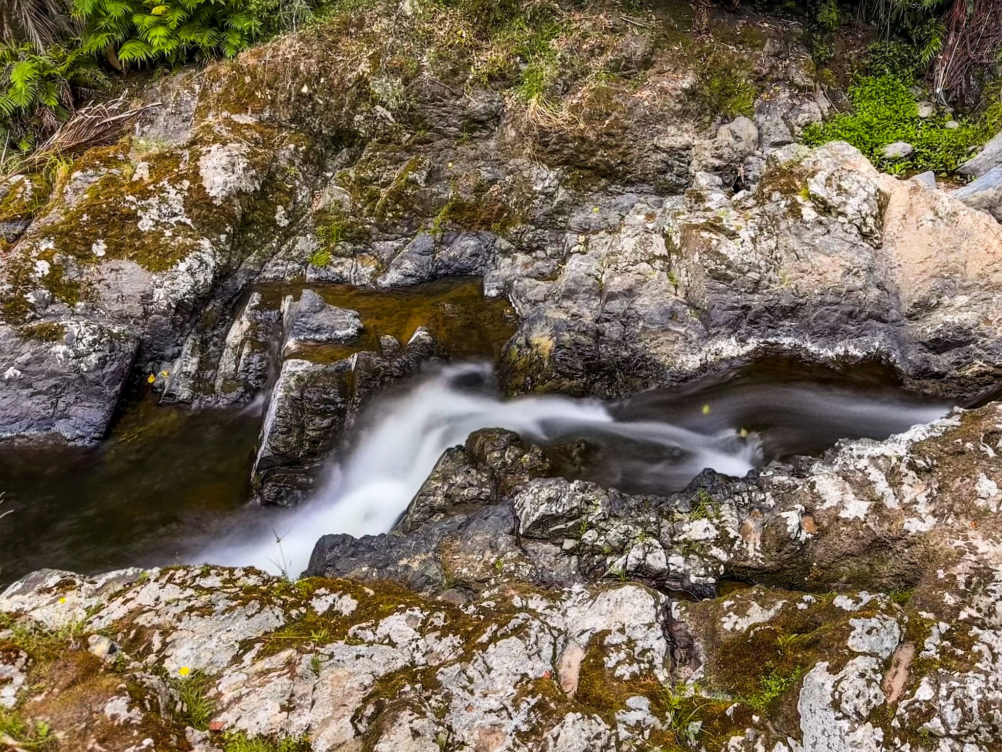
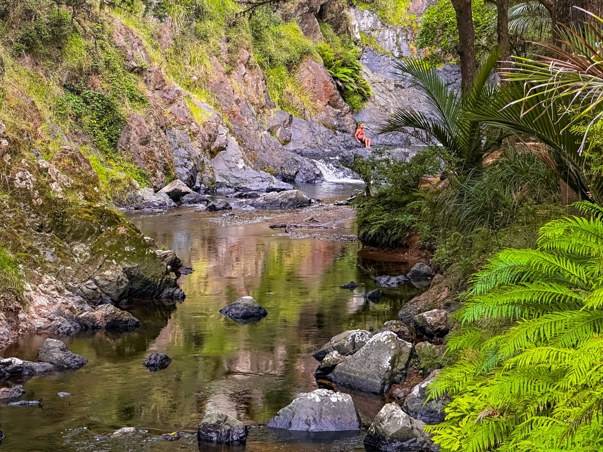
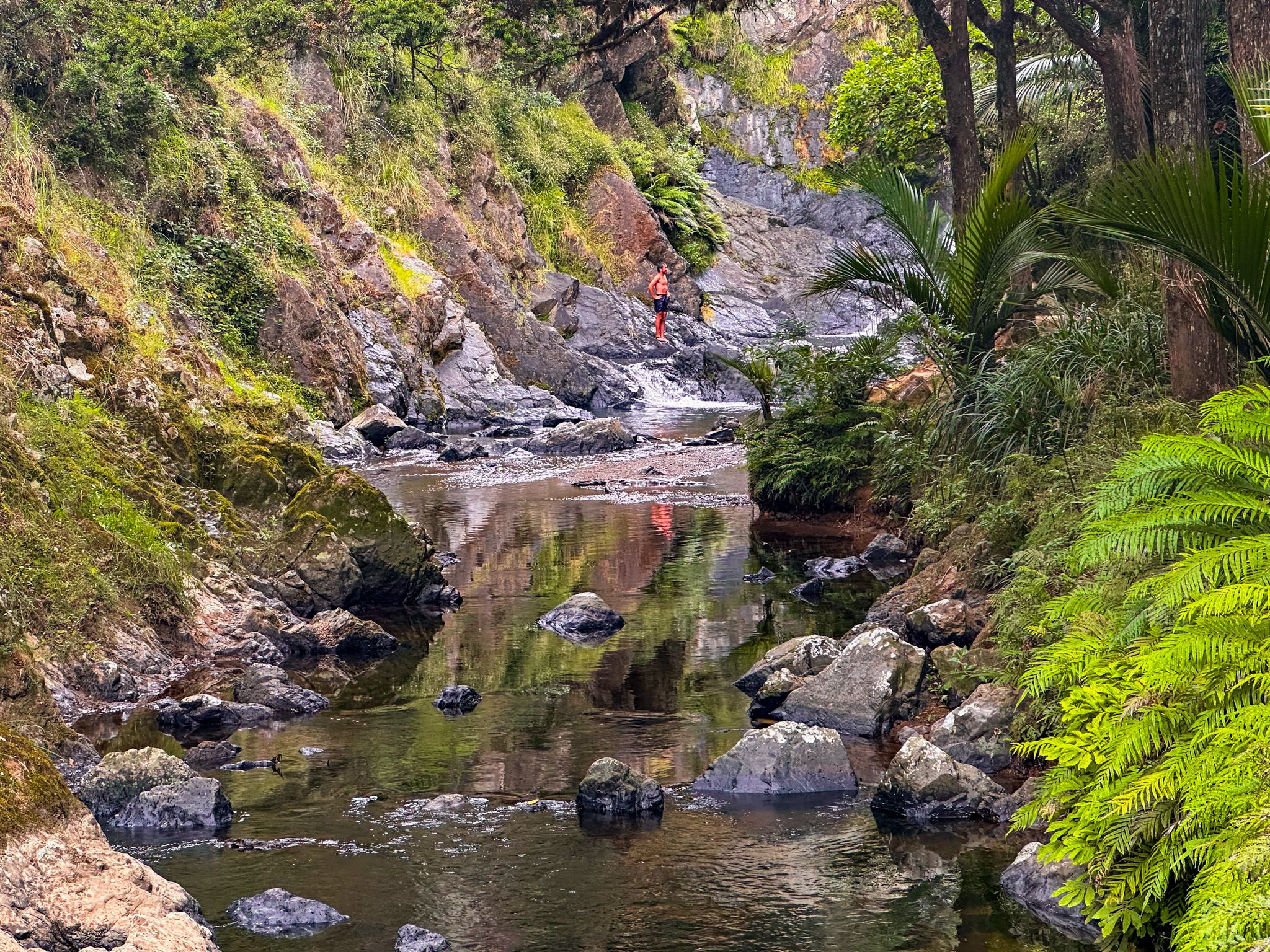
The Ahuroa River carves through a narrow, steep-sided gorge beneath a canopy of native bush, and the falls mark the point where the river drops sharply over a rock face into a deep pool. The drop is significant, and while people do swim here, care is needed, given the depth and the force of the water entering that upper pool. Below it, the gorge opens slightly to reveal a second, larger pool beneath a shorter drop, calmer and well-suited to a cool dip on a warm day. At the base of the falls, there is ample flat rock to sit on, rest, and take in the scene.
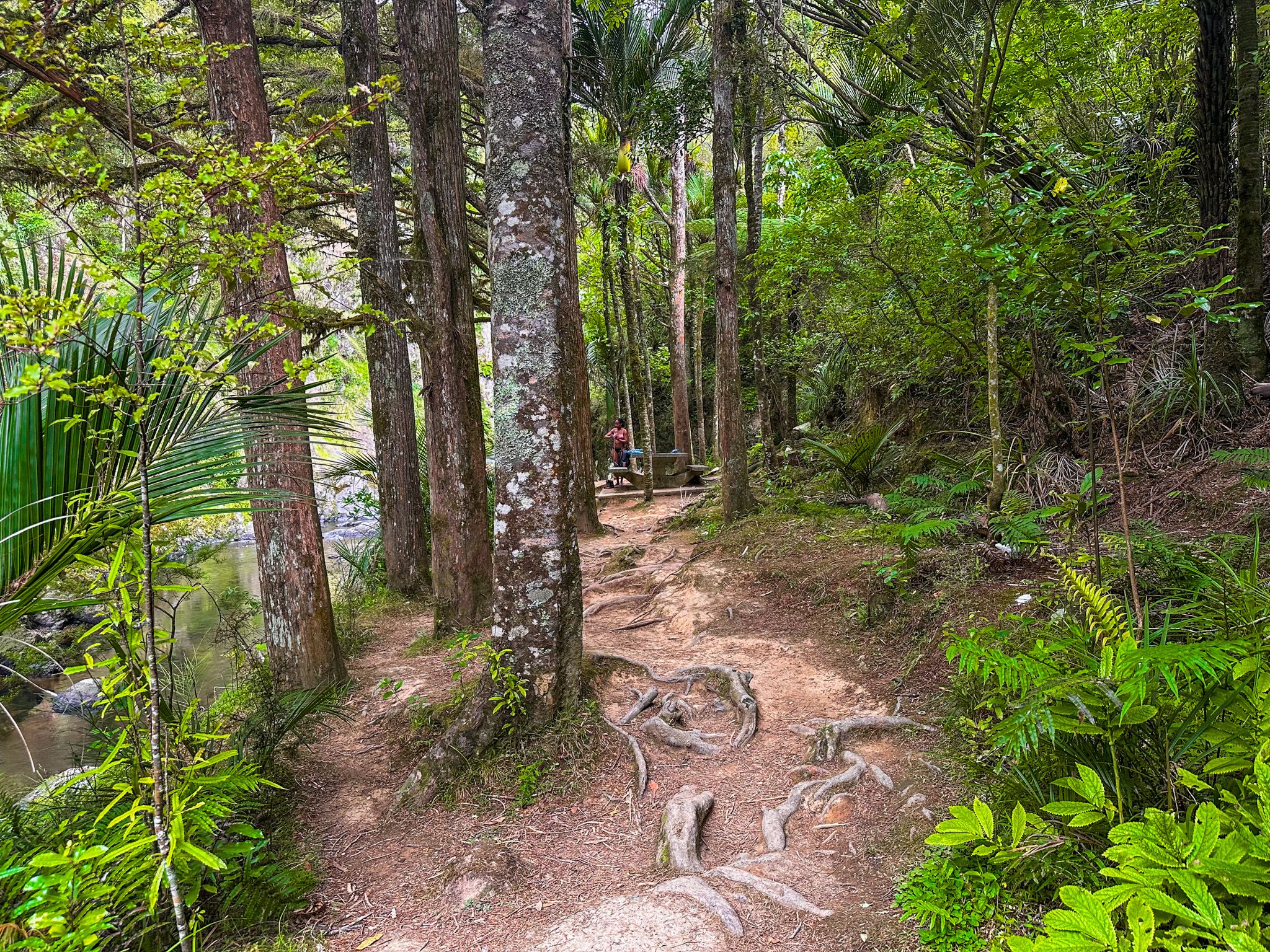
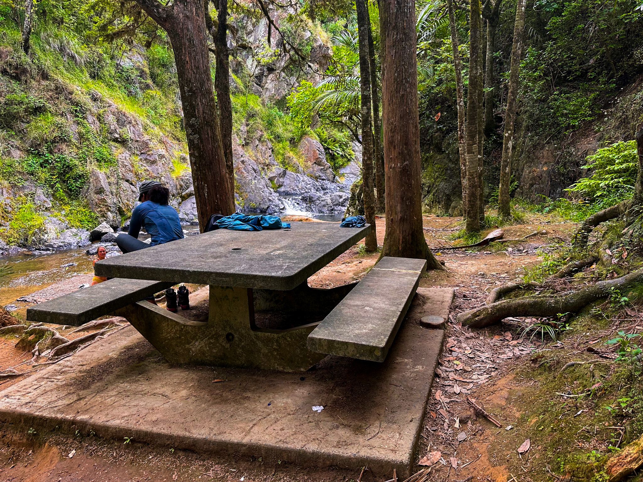
A picnic table and a sheltered area of trees at the end of the track provide a place to dry off before heading back.
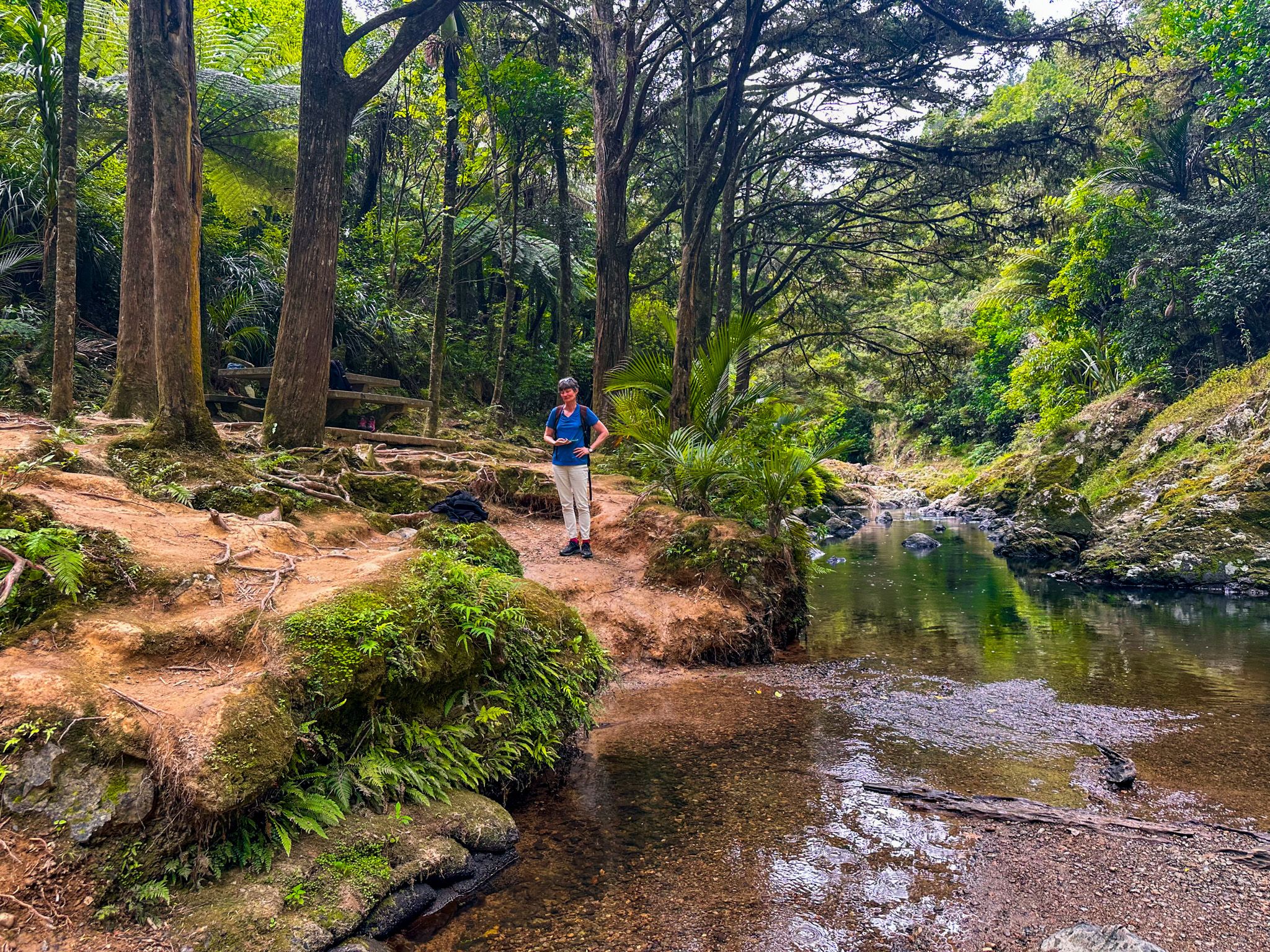
To reach the rocky area at the base of the falls, you need to wade a short distance up a shallow section of the river from the track end. The water is generally manageable, and the rocky footing is straightforward in normal conditions. The gorge walls rise steeply on both sides, and the sense of enclosure gives the spot a distinctly private feel, even with others about.
Walking the Track
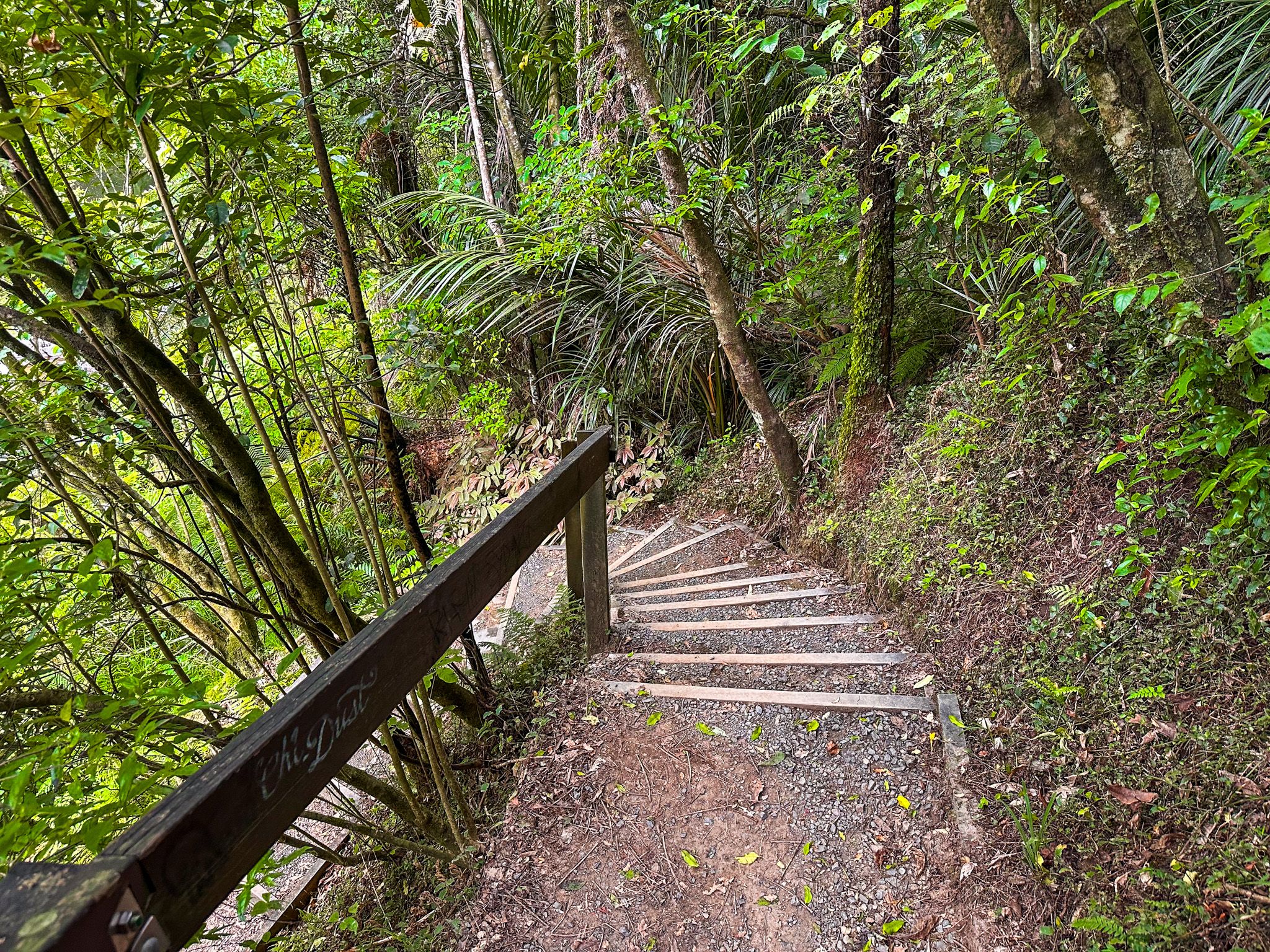
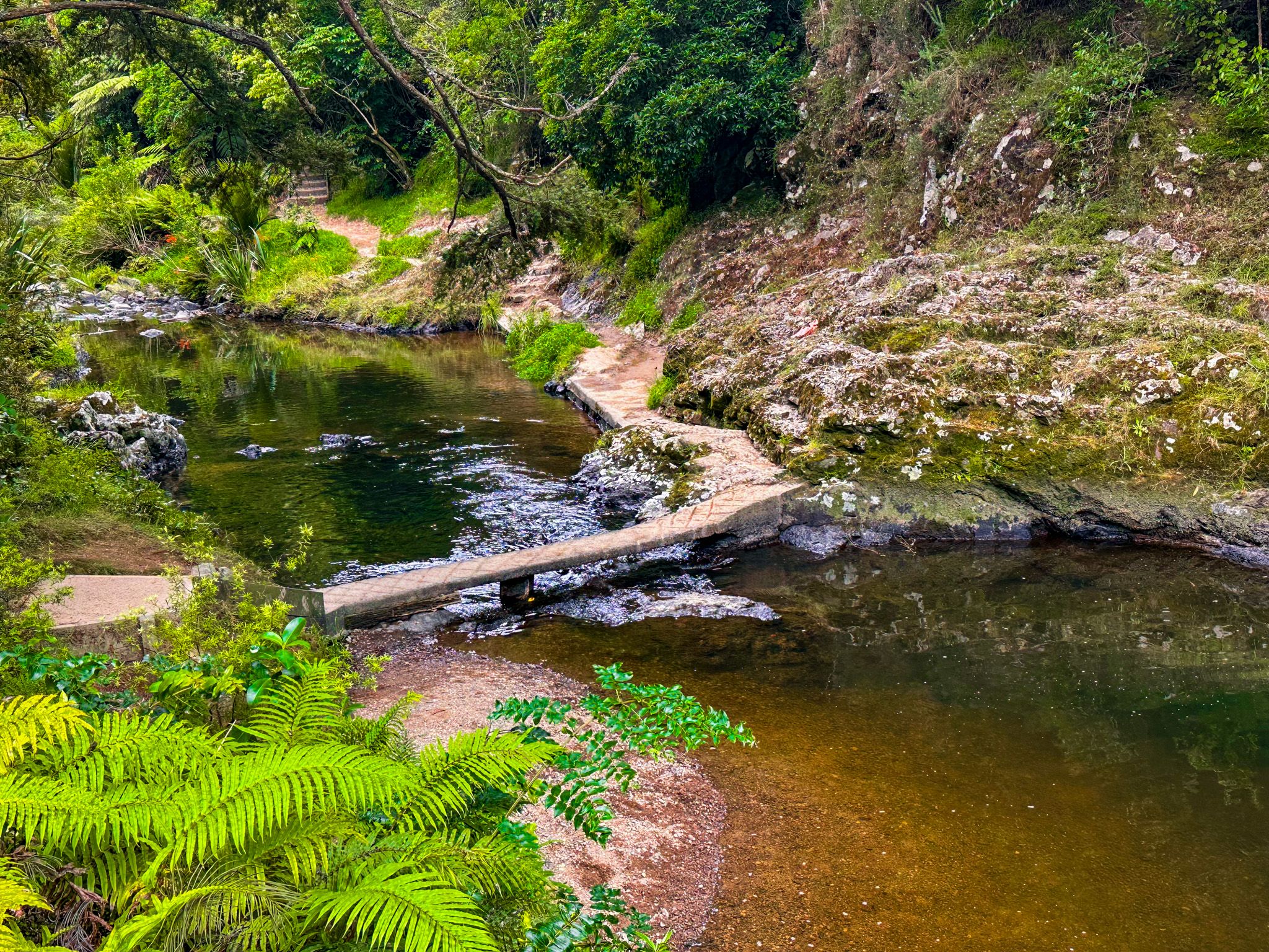
The Piroa Falls Track is a 200-metre path and takes around 30 minutes return. Steep steps descend through the bush and into the gorge. Although short, the track is a bit rough. The path follows the Ahuroa River edge a short distance, then crosses it on a concrete slab bridge engraved with “Rotary 1983”, a nod to the Maungaturoto Rotary Club, which built and upgraded the track.
After crossing the bridge, the river access to the falls is just a minute or two further along the path. Note that the bridge crossing can submerge during periods of heavy rainfall; do not attempt to cross if the river is in flood.
History and Place Names
The Ahuroa River takes its name from the Māori words meaning "long" or "extended flow," consistent with the river’s character as it winds through the Northland hill country. The surrounding Waipū Gorge Scenic Reserve, mostly regenerating forest around the river and gorge, takes its name from the nearby Waipū River and the settlement of Waipū, which itself derives from a Māori term broadly meaning “water from the earth”.
How to Get There
From Auckland, head north on State Highway 1. The reserve is signposted on State Highway 1 at the northern foot of the Brynderwyn Hills, 110 km from the city. Turn onto Waipū Gorge Road and follow it for about 7 km. The road is unsealed and narrow; take care on the bends and watch for oncoming traffic, and the drive takes about 95 minutes. A car park at the trailhead is marked by a DOC sign, with room for about 10 vehicles. Arrive early on weekends and public holidays.
From Whangarei, drive south on SH1 and Waipū Gorge Road for 51 km to the falls (47 minutes). You can also access the falls from State Highway 12. At Maungaturoto, head north on Doctors Hill Road, which becomes Gorge Road, then Waipū Gorge Road. This takes about 10 minutes, mostly on a gravel road.
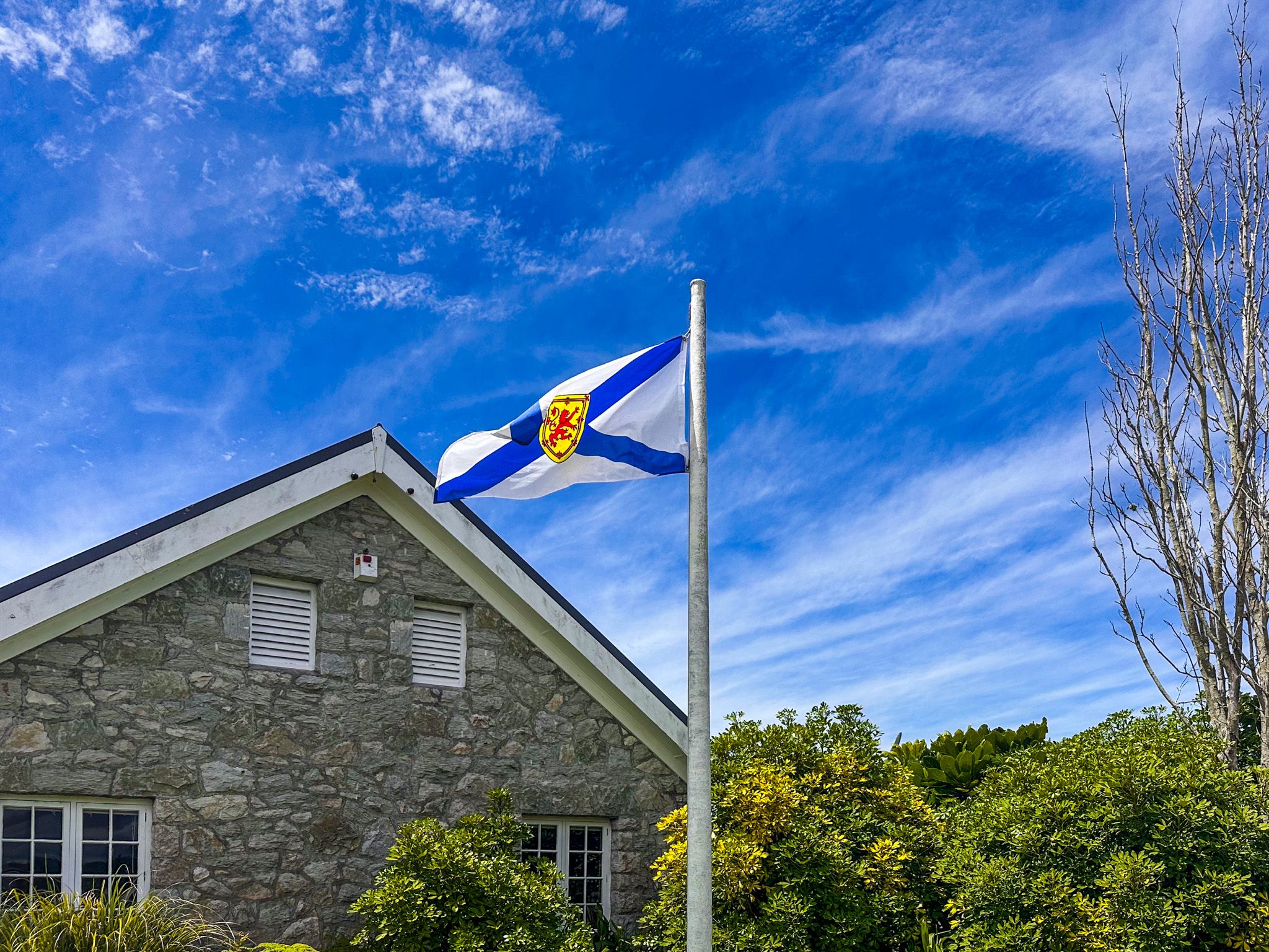
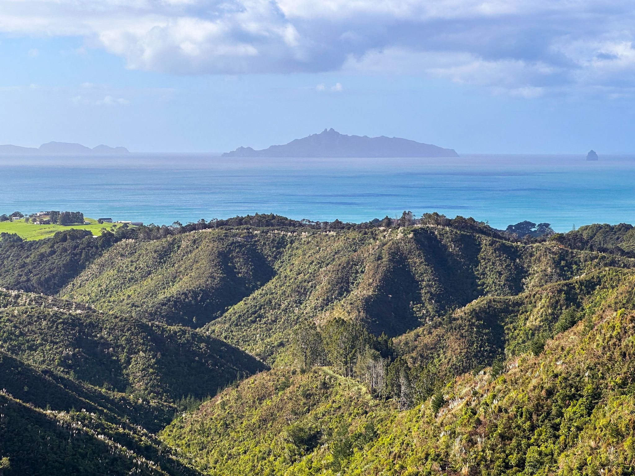
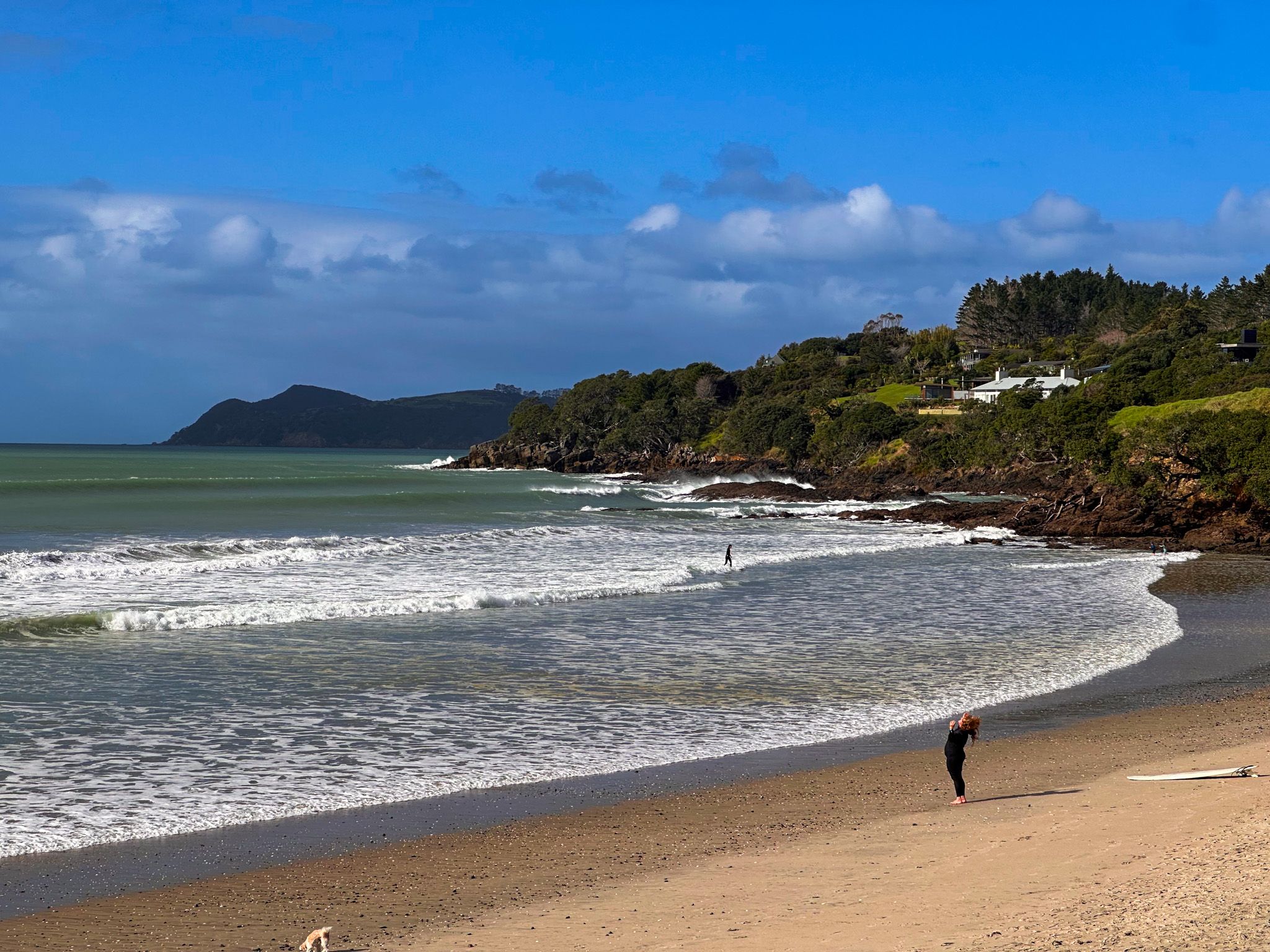
Nearby places to visit include the coastal village of Waipū, known for its Scottish heritage and the Waipū Museum, Waipū Cove and Mangawhai Heads to the east, with its surf beach and estuary walks. The Tanekaha Forest, to the east in the Brynderwyn Hills, also has several accessible waterfalls.