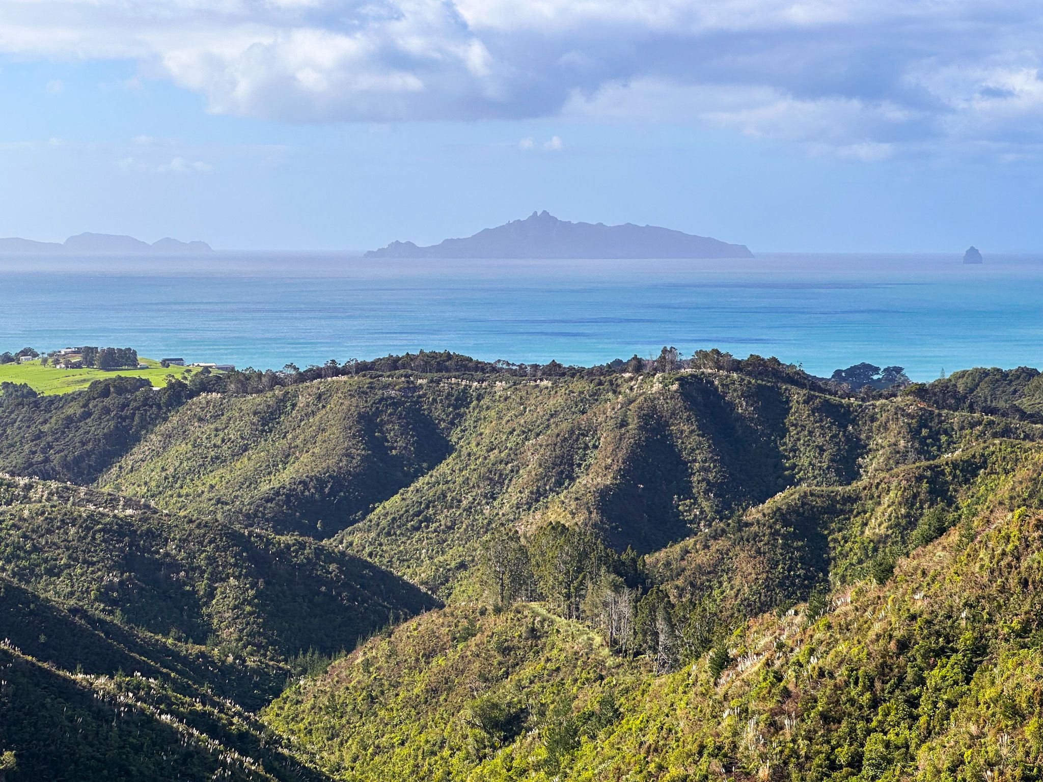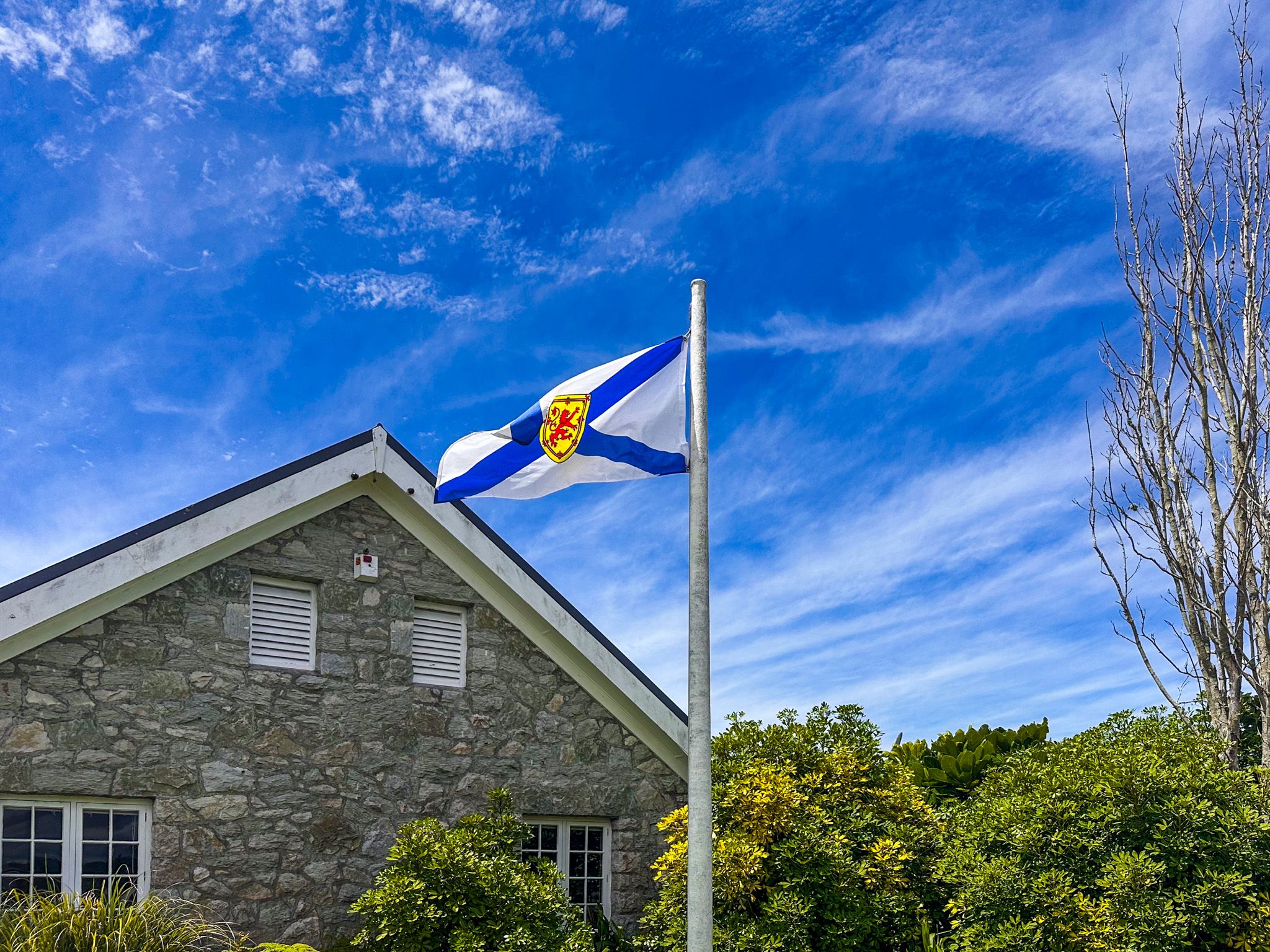
Scotland on Bream Bay
Waipū is a small town tucked just off State Highway 1 in Northland, between the Brynderwyn Hills and Whangārei. Set back from Bream Bay in rolling farmland, it is one of the most historically distinctive towns in the country, shaped by two cultures: Māori and Scots who arrived in the 1850s from Nova Scotia. The Māori name Waipū refers to the brownish-red water of the local river. A blue and white road sign at the town entrance reads Ceud Mìle Fàilte gu Waipū, Gaelic for “a hundred thousand welcomes to Waipū”.
Memorials, History Boards, and Good Eating
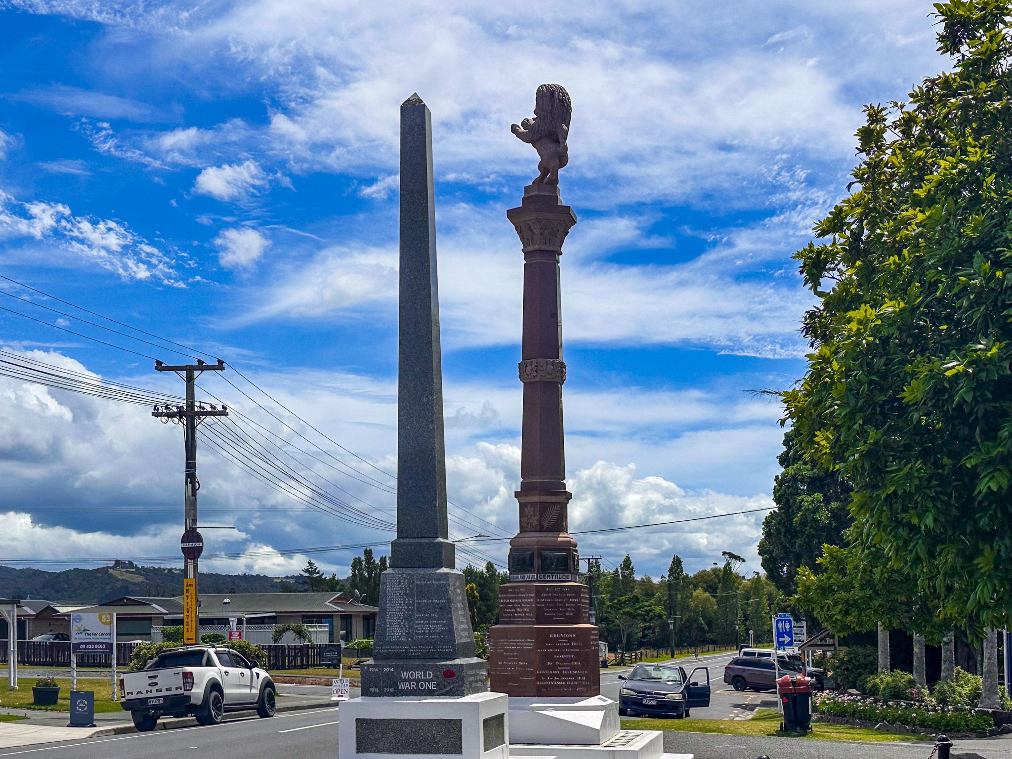
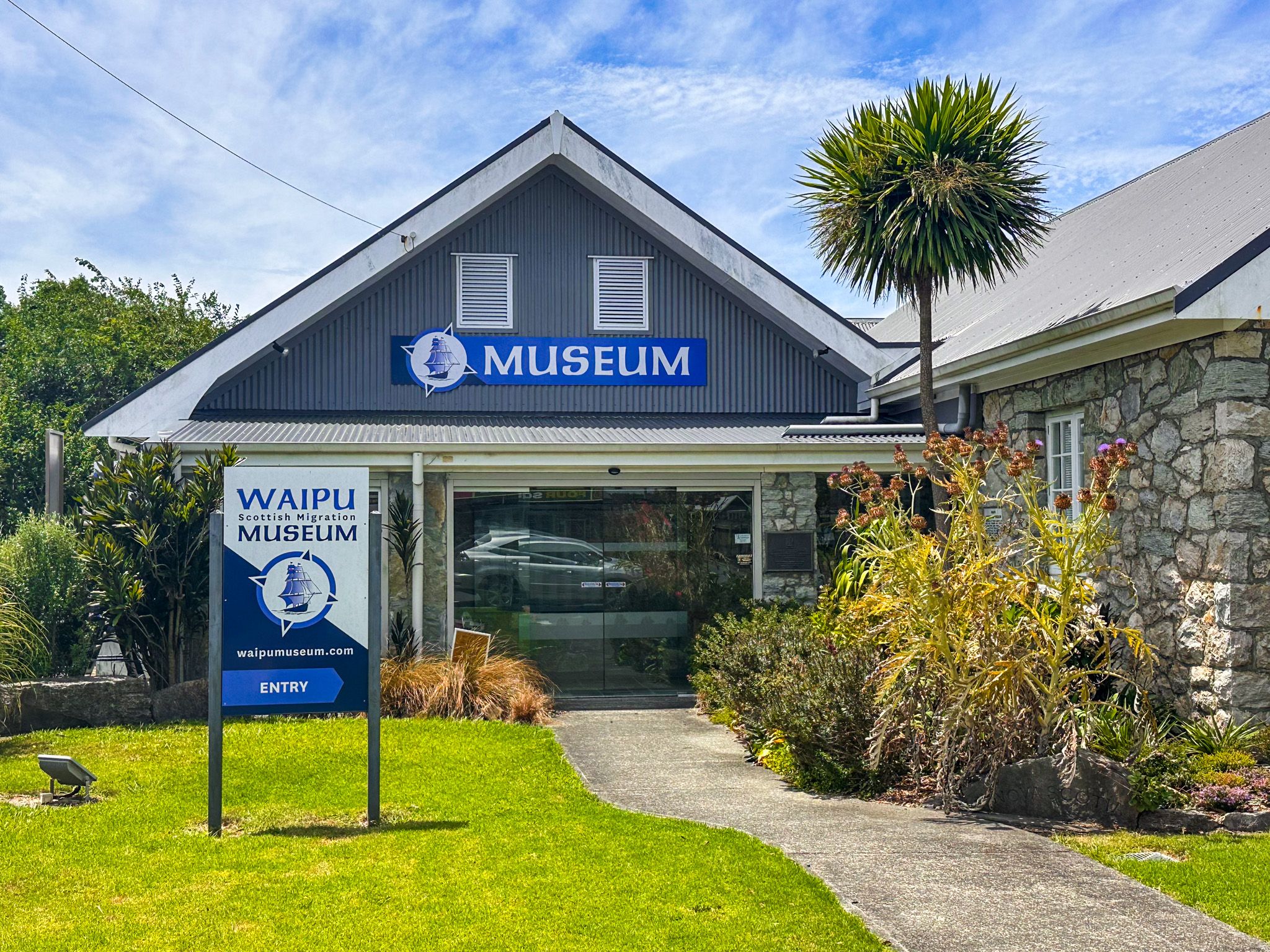
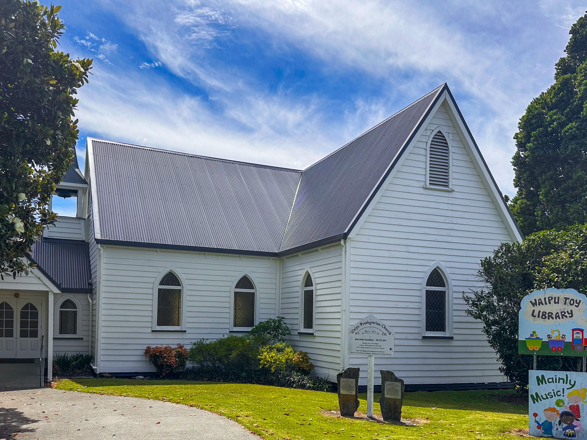
The town centre is compact enough to cover on foot in an hour. The war memorial at its heart is topped with a defiant Scottish lion rather than the usual figure, and the surrounding pioneer memorials list the six migration ships and the settler clan names. The Presbyterian church, built in 1871, stands nearby, next to the superb Scottish Migration Museum.
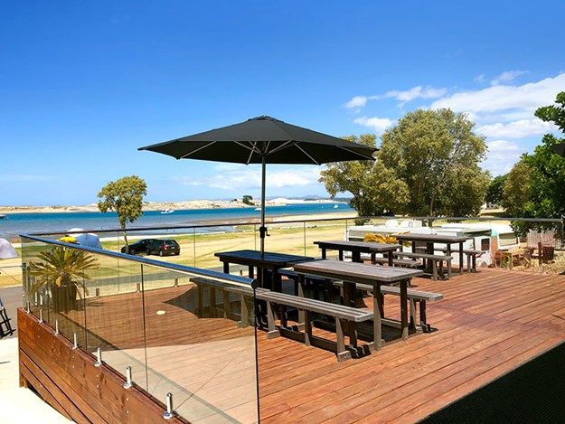
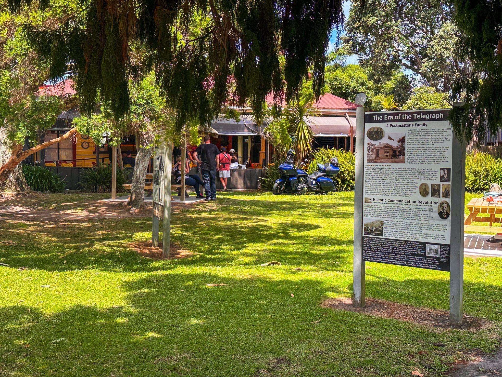
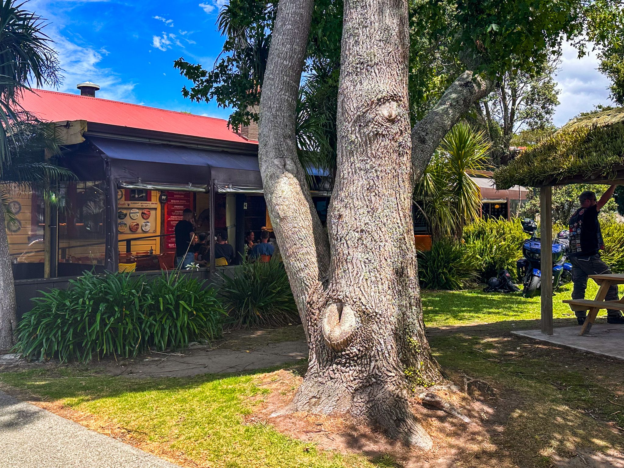
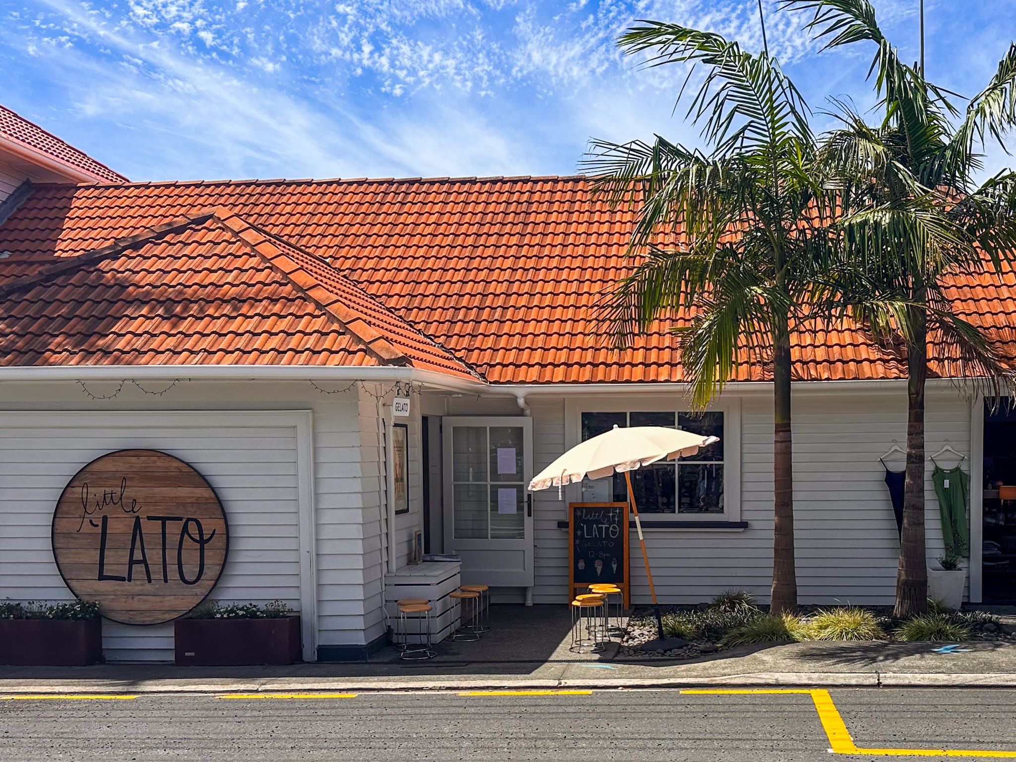
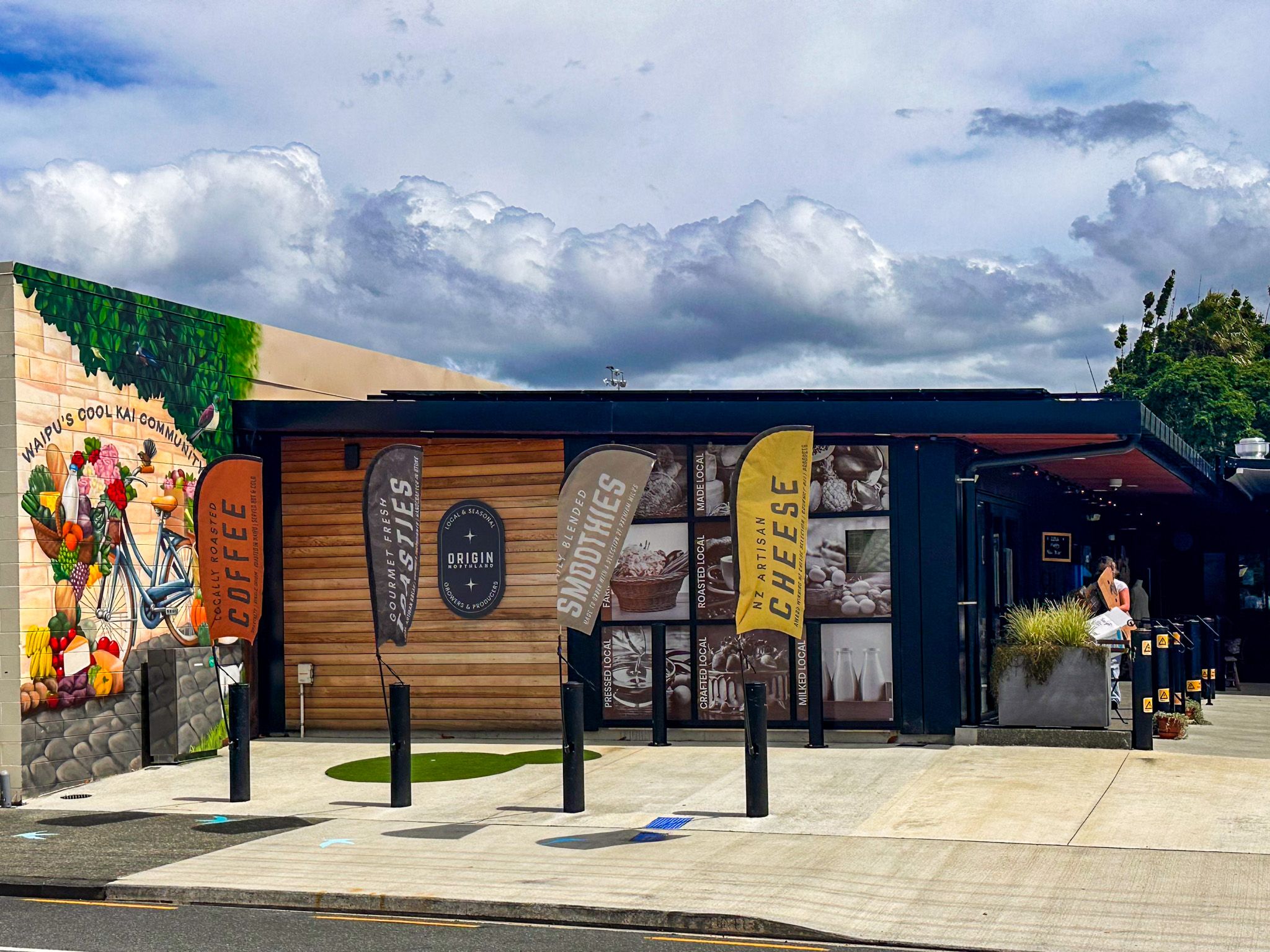
What lifts Waipū above the average small-town stop is the spread of interpretive content around town. Boards commemorate individual WWI stories tied to local families, and others trace the town's development from the first Scots settlement through the kauri gum era and beyond. The boutique stores are genuinely good, and an ice cream shop provides the essential rest stop. McLeod's Brewery and Pizza Barn, just one of several cafes and restaurant options, occupies the old post office building and draws a crowd. The beers are brewed on site, and the Scottish naming runs to the menu.
Waihoihoi River Park and the River Walk
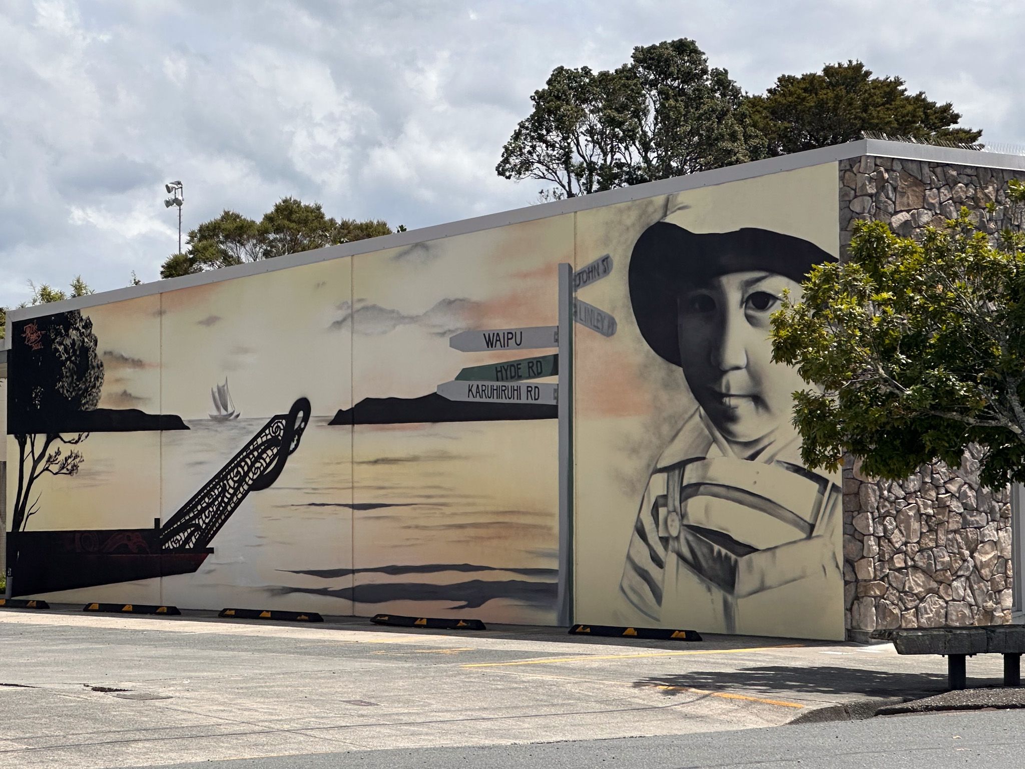
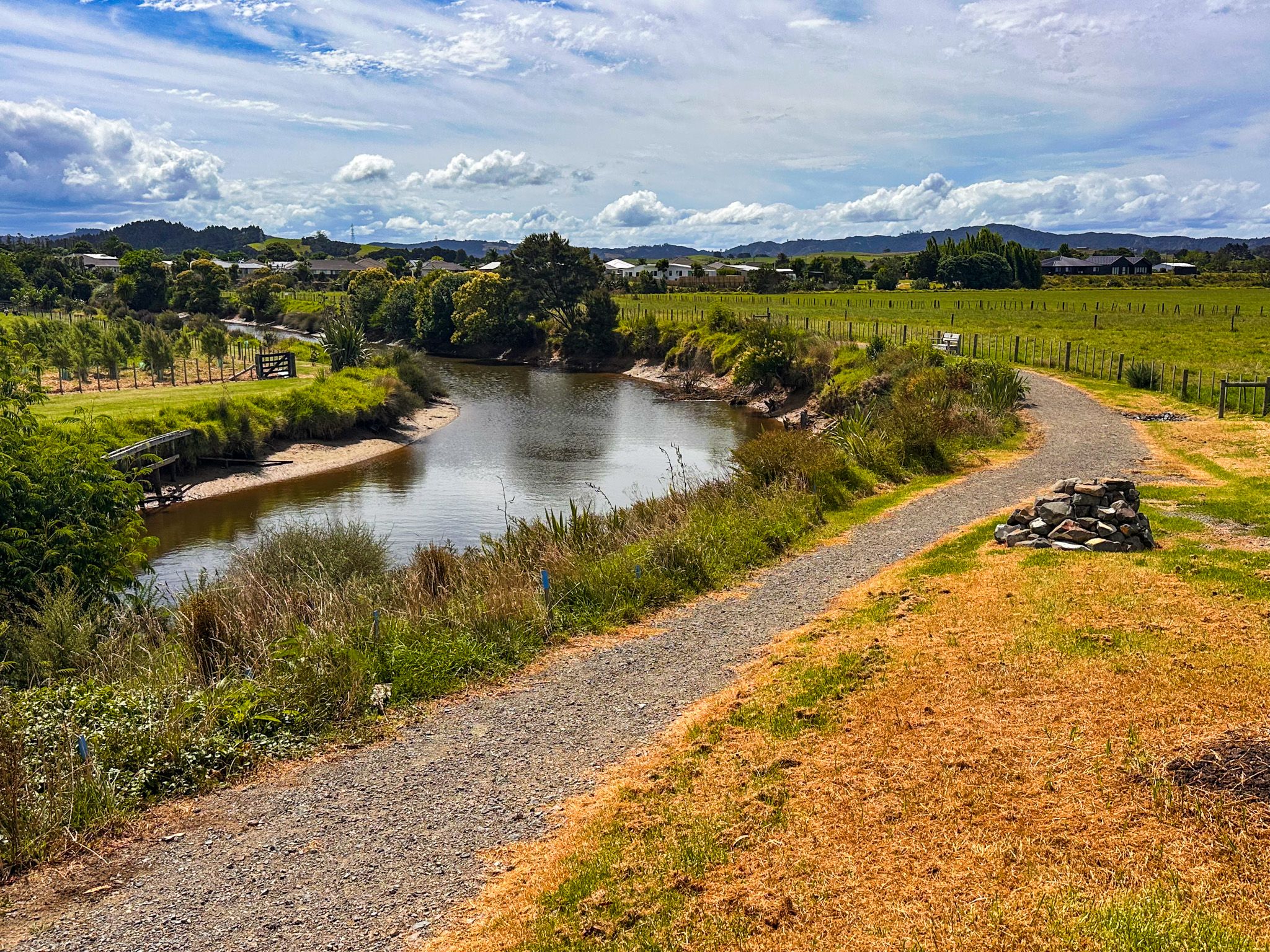
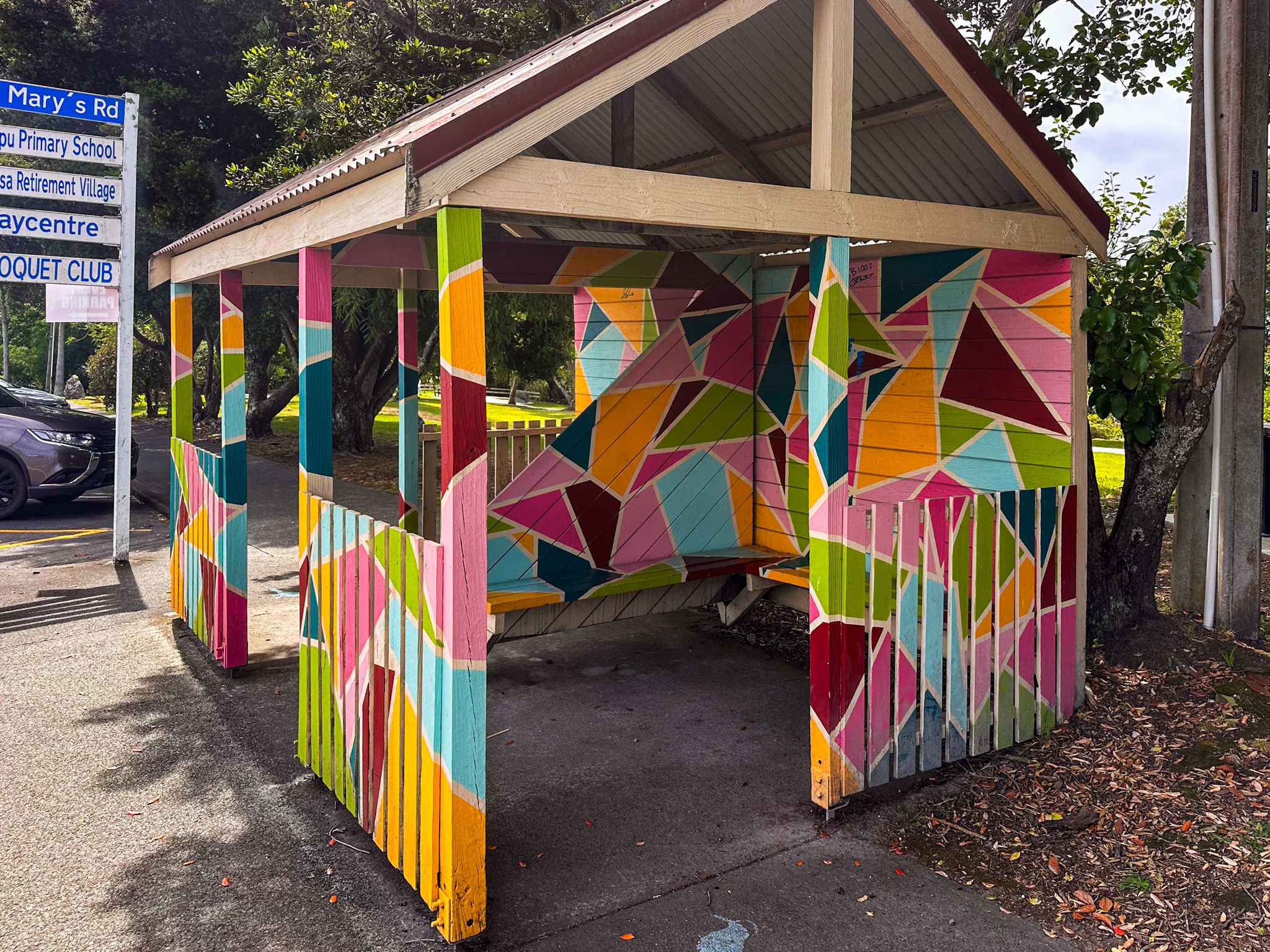
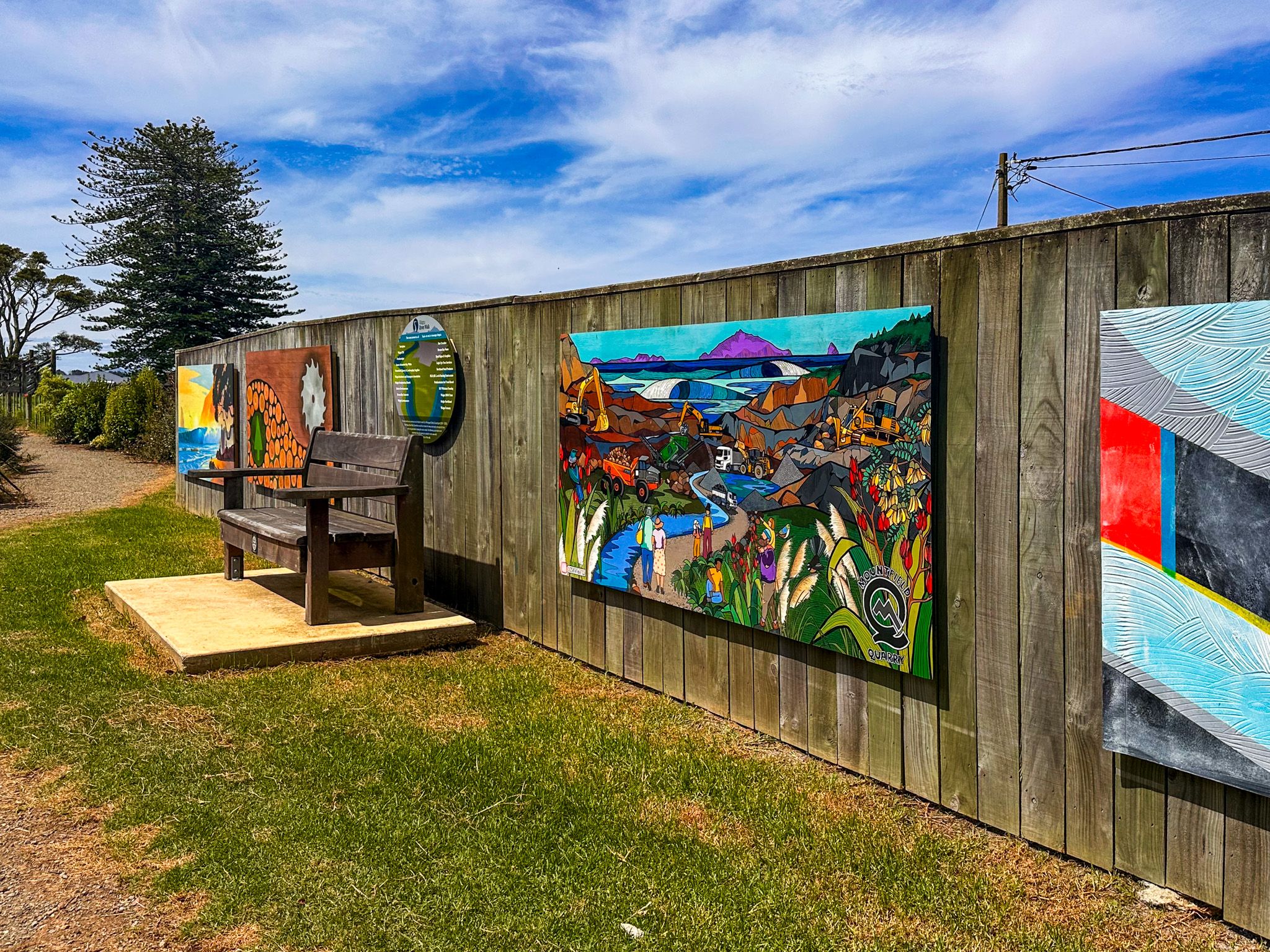
West of the museum, between the main road and the Waihoihoi River, is Waihoihoi River Park, a well-kept reserve with grassed slopes running down to the water, mature trees, a playground, a skate park, and a river wharf. Colourful murals mark the start of the Waipū River Walk at the edge of the reserve.
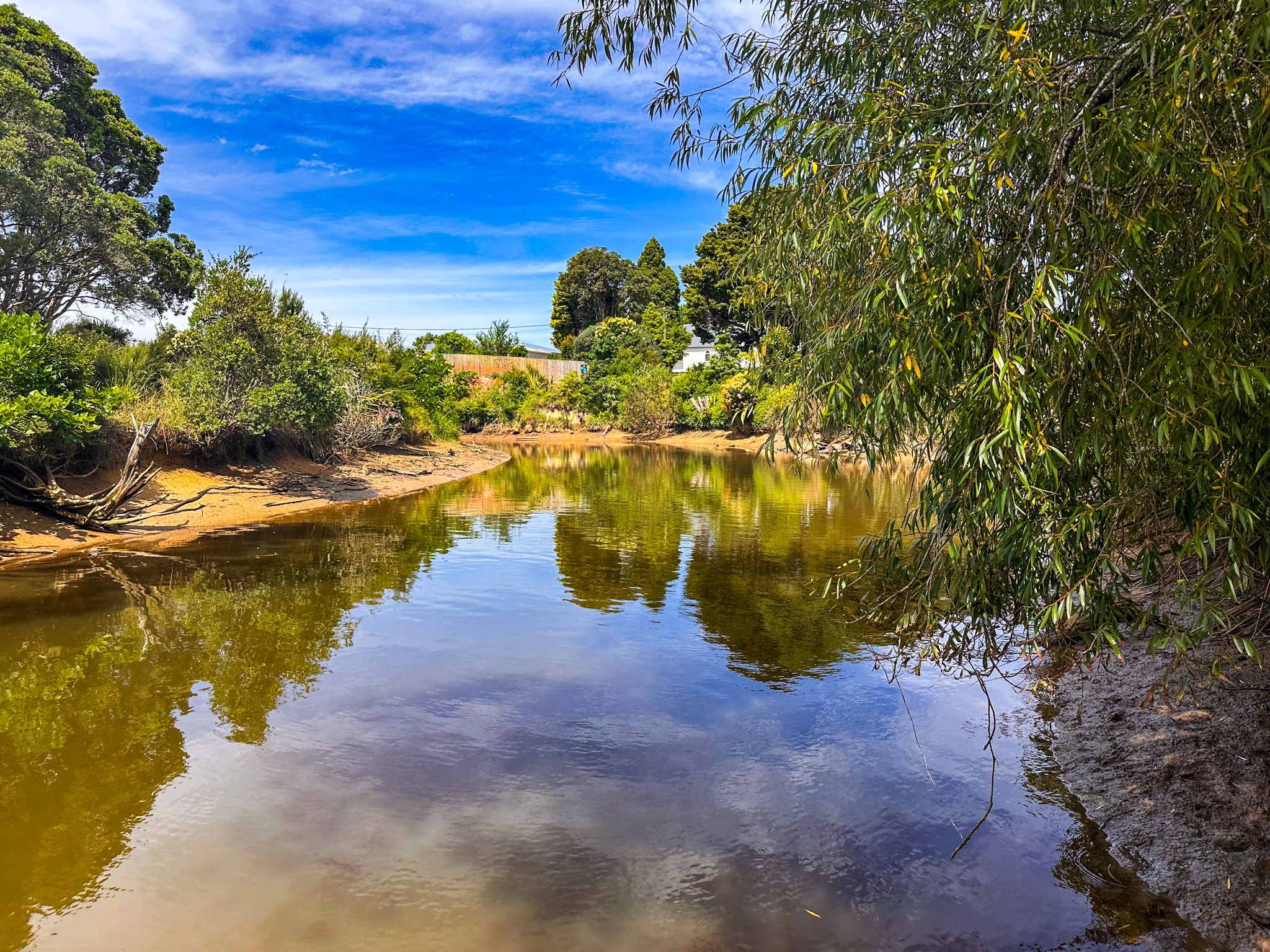
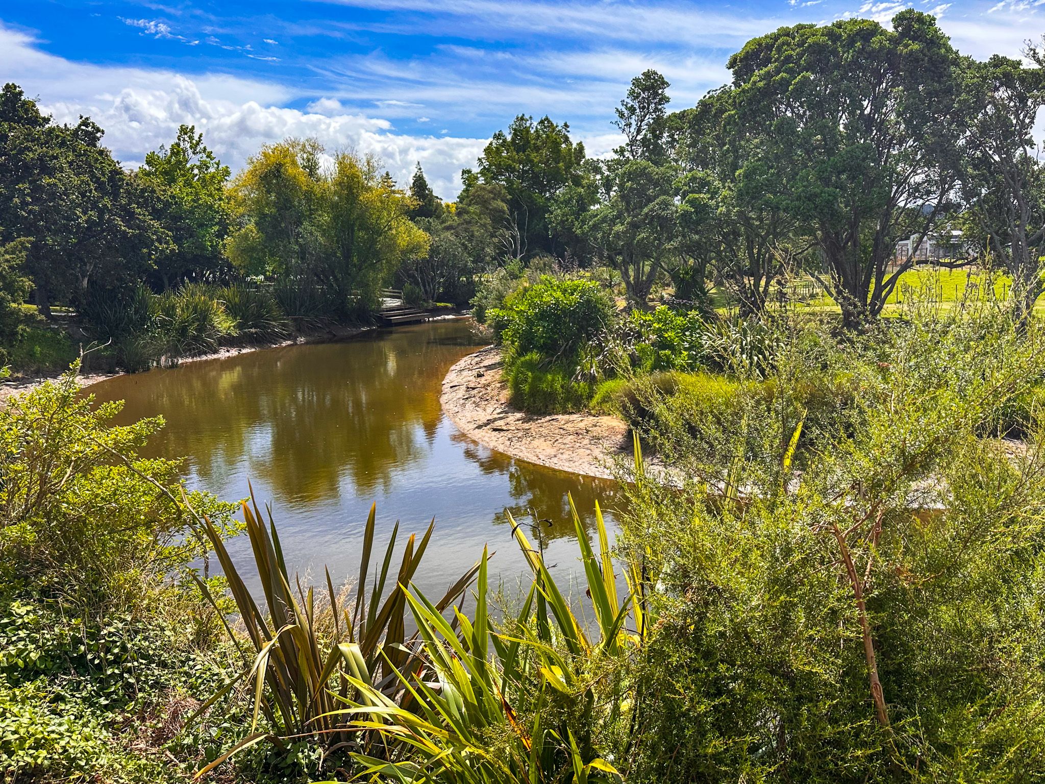
The walk runs through open rural grassland, following the east bank of the Waihoihoi River south to where it meets the Waipū River, then continues along the Waipū River to Nova Scotia Road. The riverside section takes around 30 minutes one way. The return can be made the same way or by looping back along the road.

Patuharakeke and the Bream Bay Rohe
Long before European contact, Bream Bay and the Waipū area were home to Patuharakeke, a composite hapū connected to several northern iwi, including Ngāpuhi, Ngāti Wai, Ngāti Whātua, and Te Uri o Hau, with lineage tracing back to the waka Māhuhu-ki-te-Rrangi and Tūnuiārangi. Patuharakeke used the coast and river systems for seasonal settlement and mahinga kai, gathering kaimoana from tidal flats, fishing the rivers, harvesting eels, and hunting waterfowl in the wetlands.
The area was densely populated, and as many as 24 pā sites have been identified around Waipū. The local Scottish Migration Museum works with Patuharakeke to develop exhibitions that tell the Māori story alongside the settlement history.
A Migration Across the World
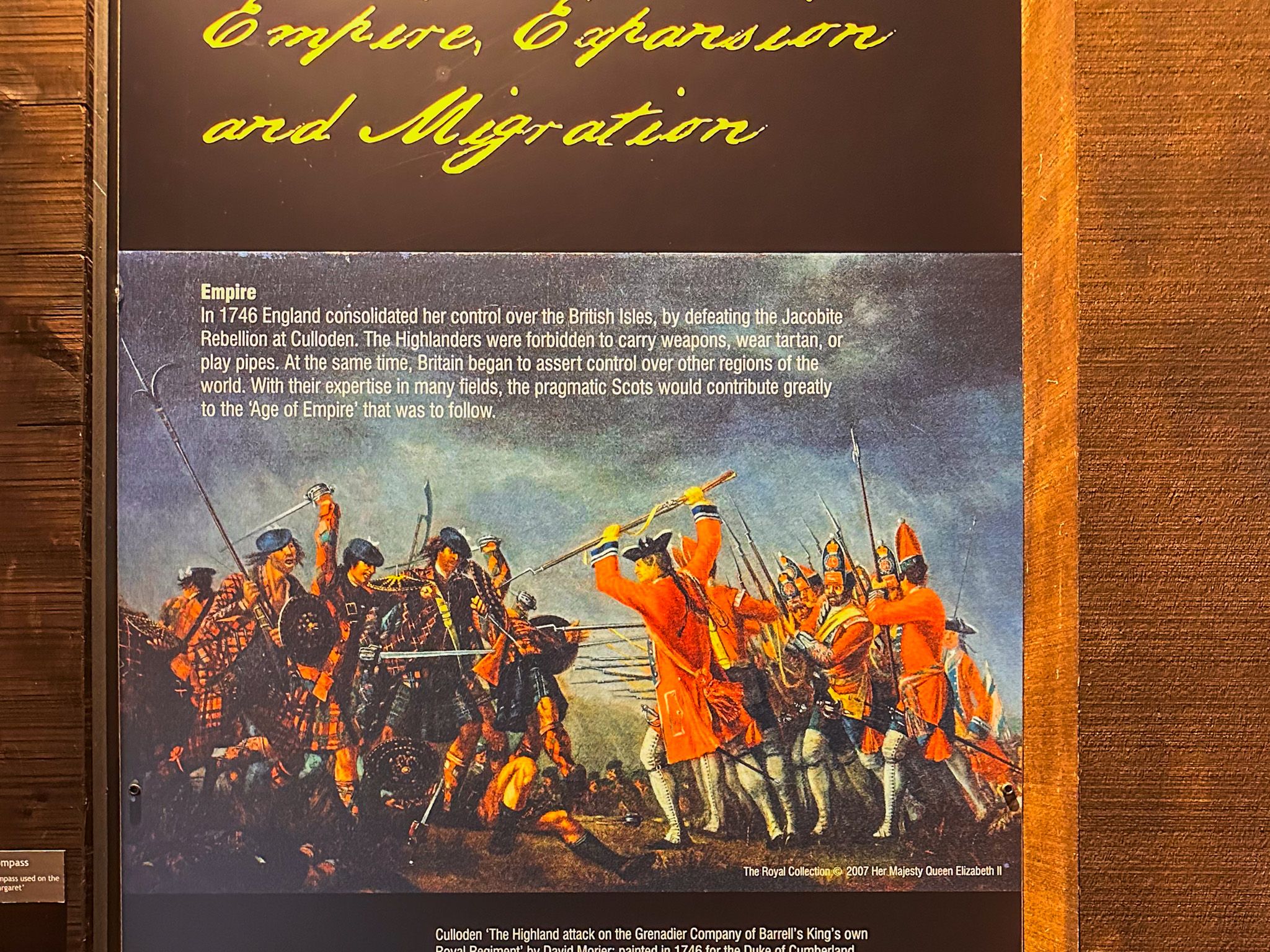
The story of how a group of Gaelic-speaking Presbyterian Highlanders settled at Waipū is unique in New Zealand. In 1817, Reverend Norman McLeod, known in Gaelic as Tormod Mór, left Sutherlandshire in northern Scotland, having broken from the Church of Scotland over what he saw as its lack of rigour. He crossed to Nova Scotia, Canada, with his followers, and they settled at St Ann's on Cape Breton for several decades.
By the late 1840s, cold winters, crop failures, and a potato blight drove McLeod to look further. In a remarkable act of collective determination, the community built their own ships and sailed for Australia. They arrived in Adelaide in 1852 to find the gold rush in full swing. This was hardly the sober Presbyterian haven McLeod had in mind, and three of his sons died of typhoid in Melbourne. The group petitioned Governor Grey for a grant of land in New Zealand, and they sailed to Auckland. Scouts explored the Northland coastline by boat and identified the Waipū River valley as the perfect location. The government sold land to the settlers, which it had earlier purchased from the local Māori, at a substantial profit.
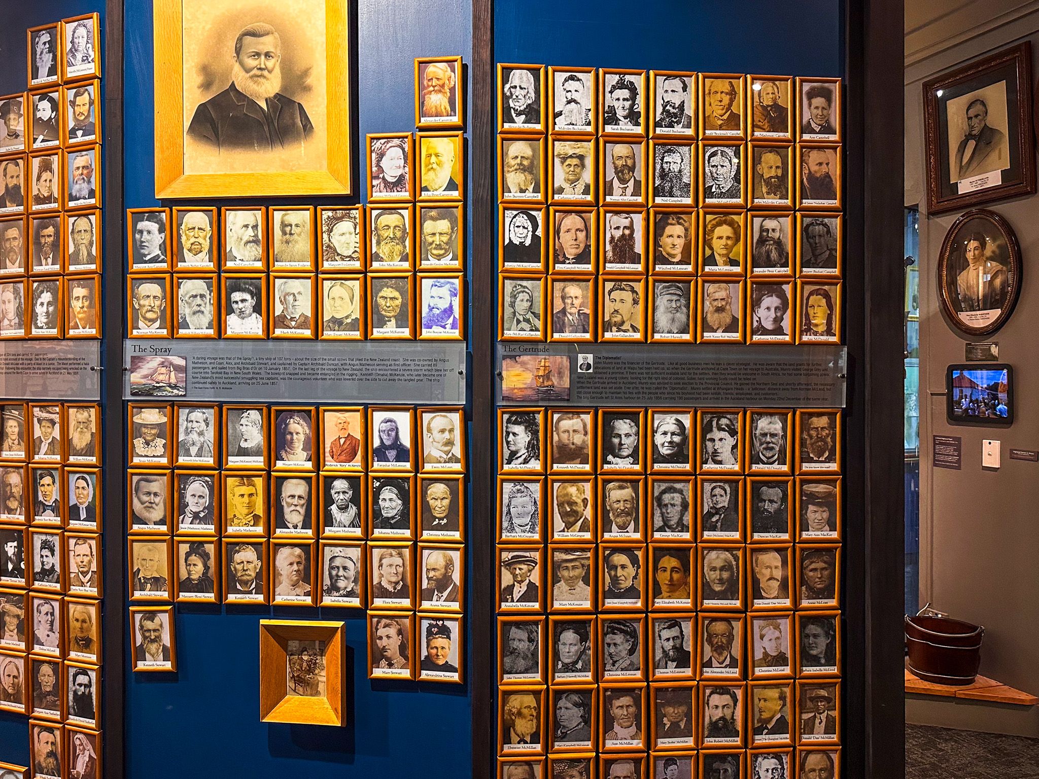
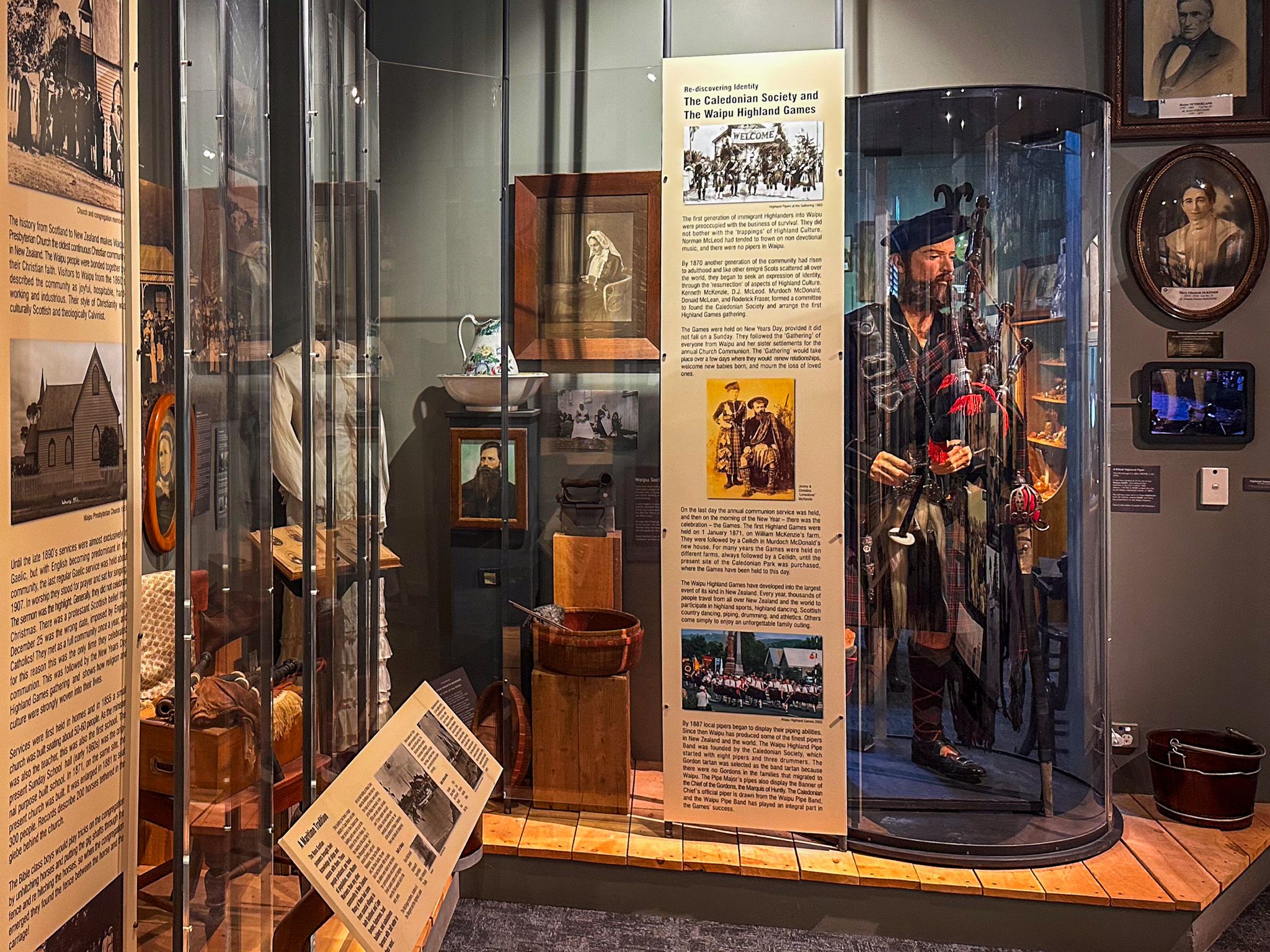
The first settlers arrived in the early 1850s. Over the following several years, six ships carried more than 850 people from Nova Scotia to Waipū. McLeod died in Waipū in 1866 and is buried near the river estuary. A sister settlement was established at Whangārei Heads, and the community remained Gaelic-speaking for a generation. Their self-sufficiency, maritime skills, and Presbyterian faith shaped the town for well over a century.
The Scottish Migration Museum
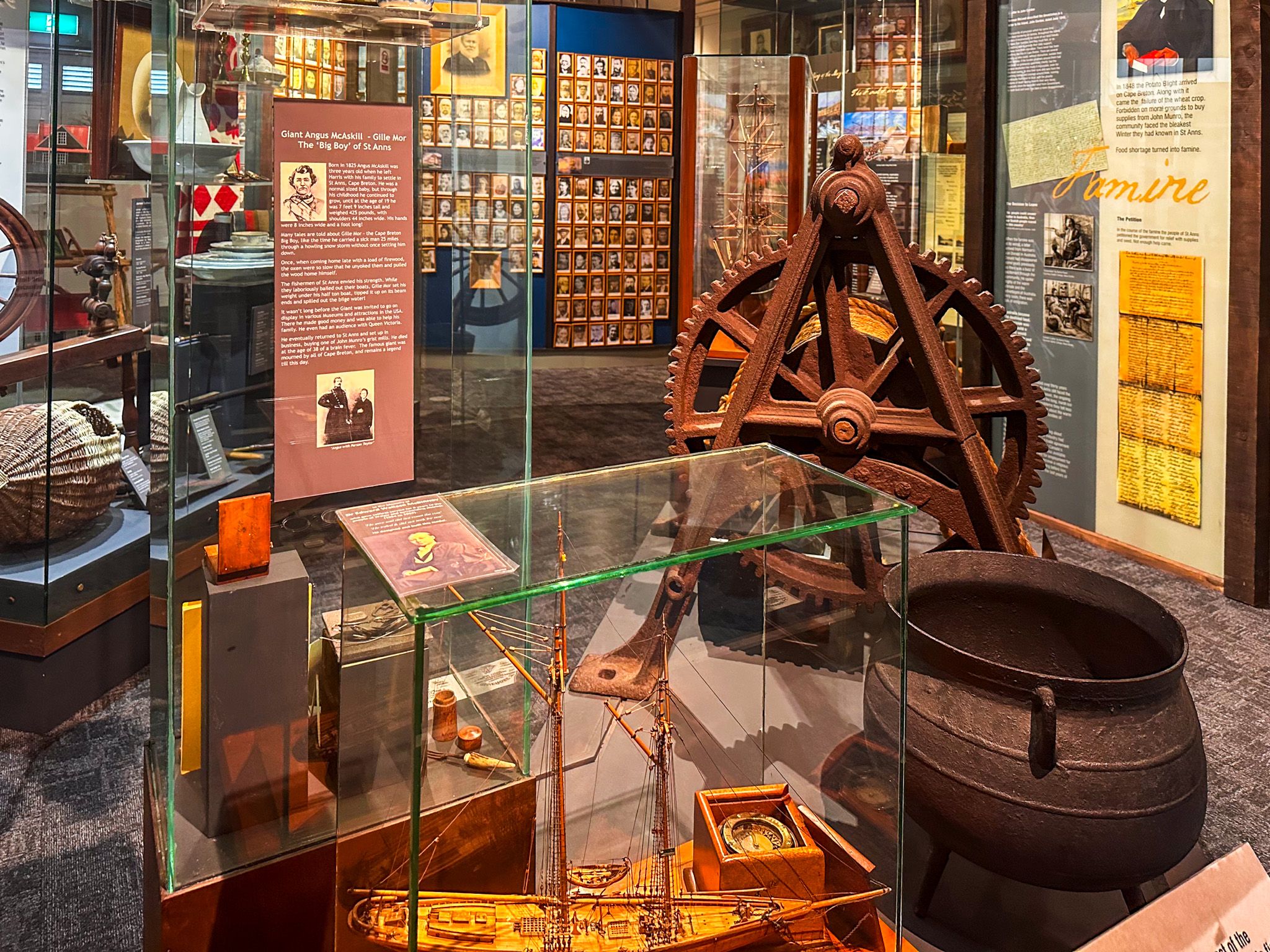
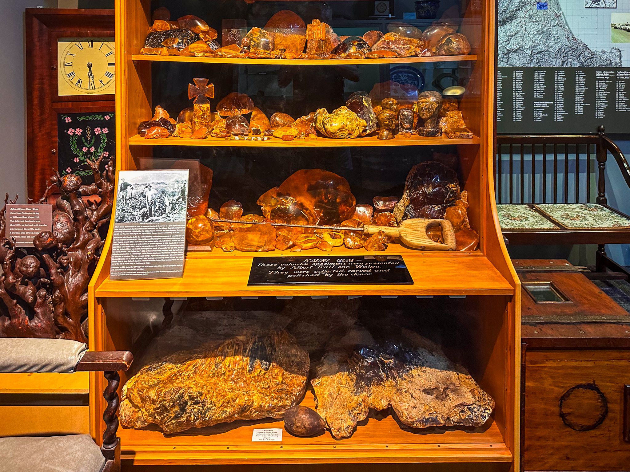
The Waipū Scottish Migration Museum is the centrepiece of any visit to town. Originally opened in 1953 to mark the centennial of the migration, the building was constructed by descendants of the original settlers in local stone, designed to resemble a Scottish highland crofter's dwelling. A modern extension was added in 2003 for the 150th anniversary, and the museum has since evolved into a well-regarded exhibition covering the full arc of the migration, from the Highlands of Scotland through Nova Scotia and Australia to Northland. The archival collection held here includes shipping documents, family trees, genealogical records, and photographs of the original settlers.
The addition of Māori stories, practices and traditions nicely rounds out the exhibitions. One poignant panel captures the remarkable degree of similarity between tribal Gaelic culture and Māori culture.
There is a modest entry fee, and the museum also functions as the town's visitor centre.
A Bird Sanctuary at the River Mouth
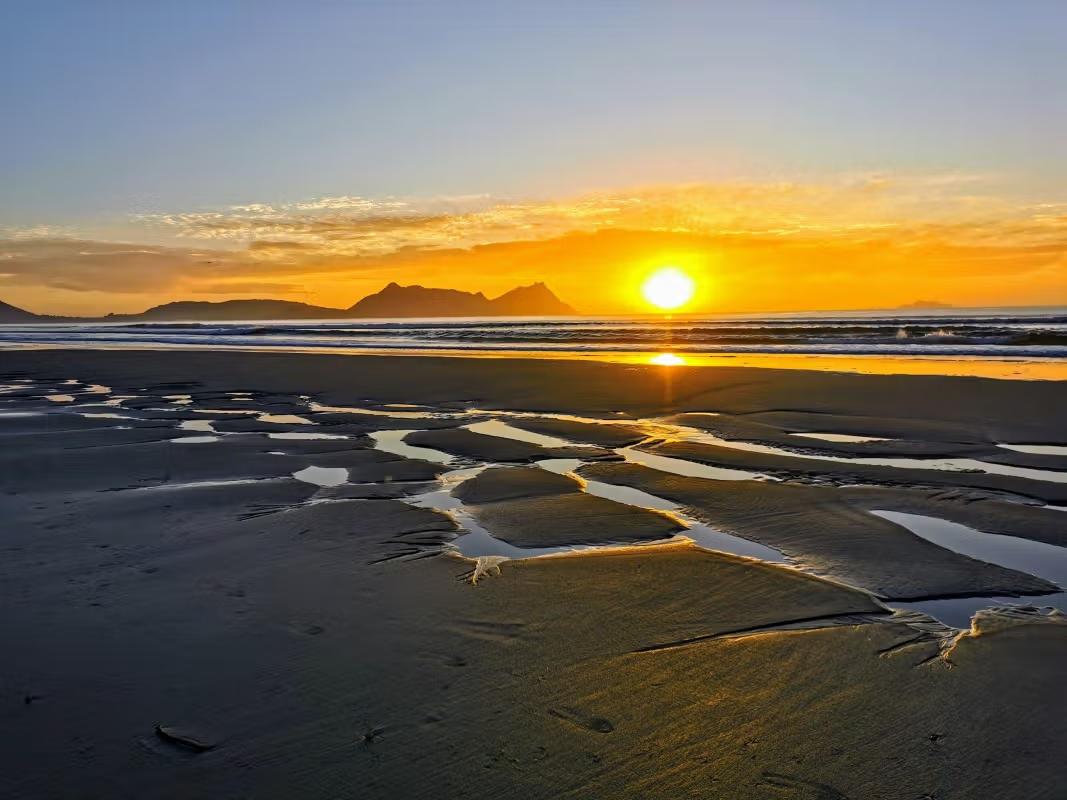
The Waipū River meets the sea at the Waipu River Mouth Wildlife Refuge, 4.7 km southeast of the town. The fairy tern, or tara iti, one of the country's most endangered birds, nests here, alongside the NZ dotterel, variable oystercatcher, and banded dotterel. Reef herons, wrybills, and Caspian terns are also present. The cemetery established by the original settlers in 1851, one of the oldest European burial grounds in Northland, sits on the banks of the estuary, a quiet spot with a strong sense of the settlement's beginnings. The estuary is accessed via Hamon Road off the Cove Road.

How to Get There
Waipū is reached by turning off State Highway 1 at the Waipū Junction, north of the Brynderwyn Hills. From Auckland, the drive is 120 km and takes around 95 minutes; from Whangārei, it is 40 km and takes around 25 minutes. The town is well signposted from the highway, and the detour adds only a few minutes to the journey north.
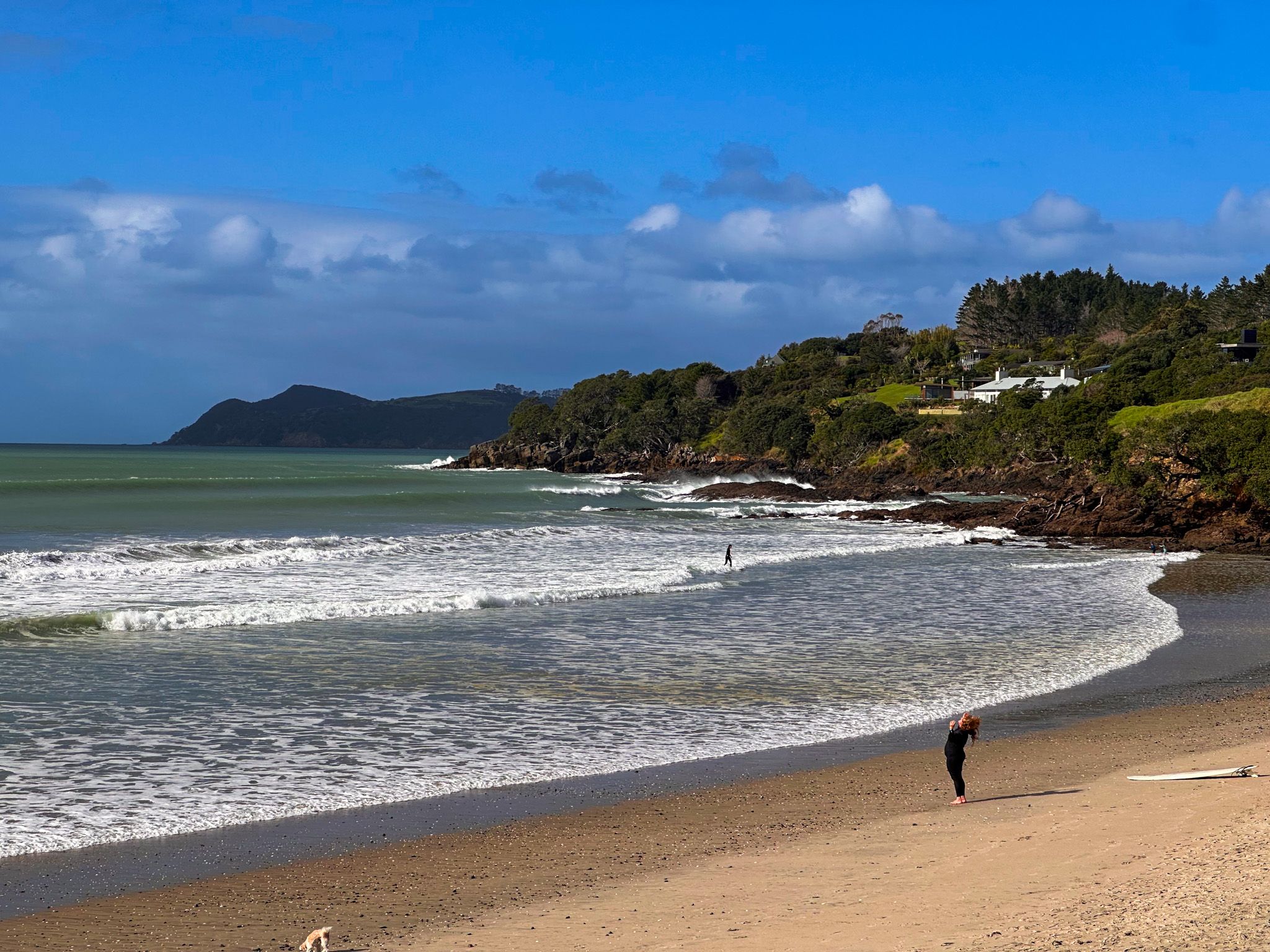
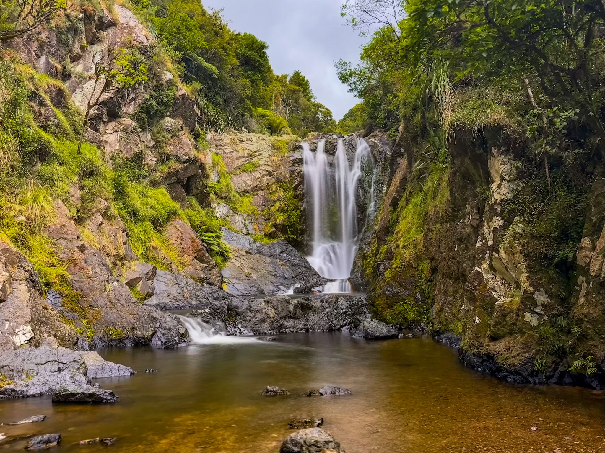
Nearby places to visit include Waipū Cove, Langs Beach, the Waipū Caves, and Piroa Falls.