West Coast Wonders at Punakaiki
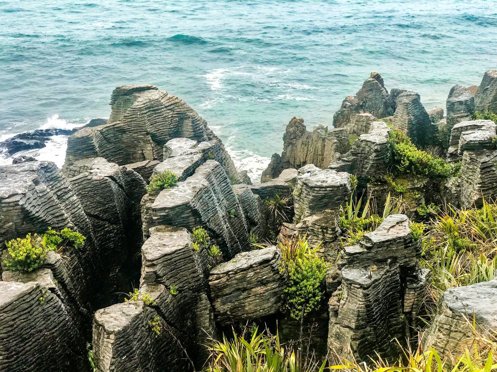
Punakaiki sits on a wild stretch of coastline between Westport and Greymouth, at the northern edge of the Paparoa National Park. This small West Coast settlement is home to one of Aotearoa’s most intriguing geological sights: the Pancake Rocks. Stacked limestone layers, sculpted by sea and time, make this one of the most photographed spots in the country, especially when the blowholes are in action at high tide.
Layered Limestone and Coastal Drama
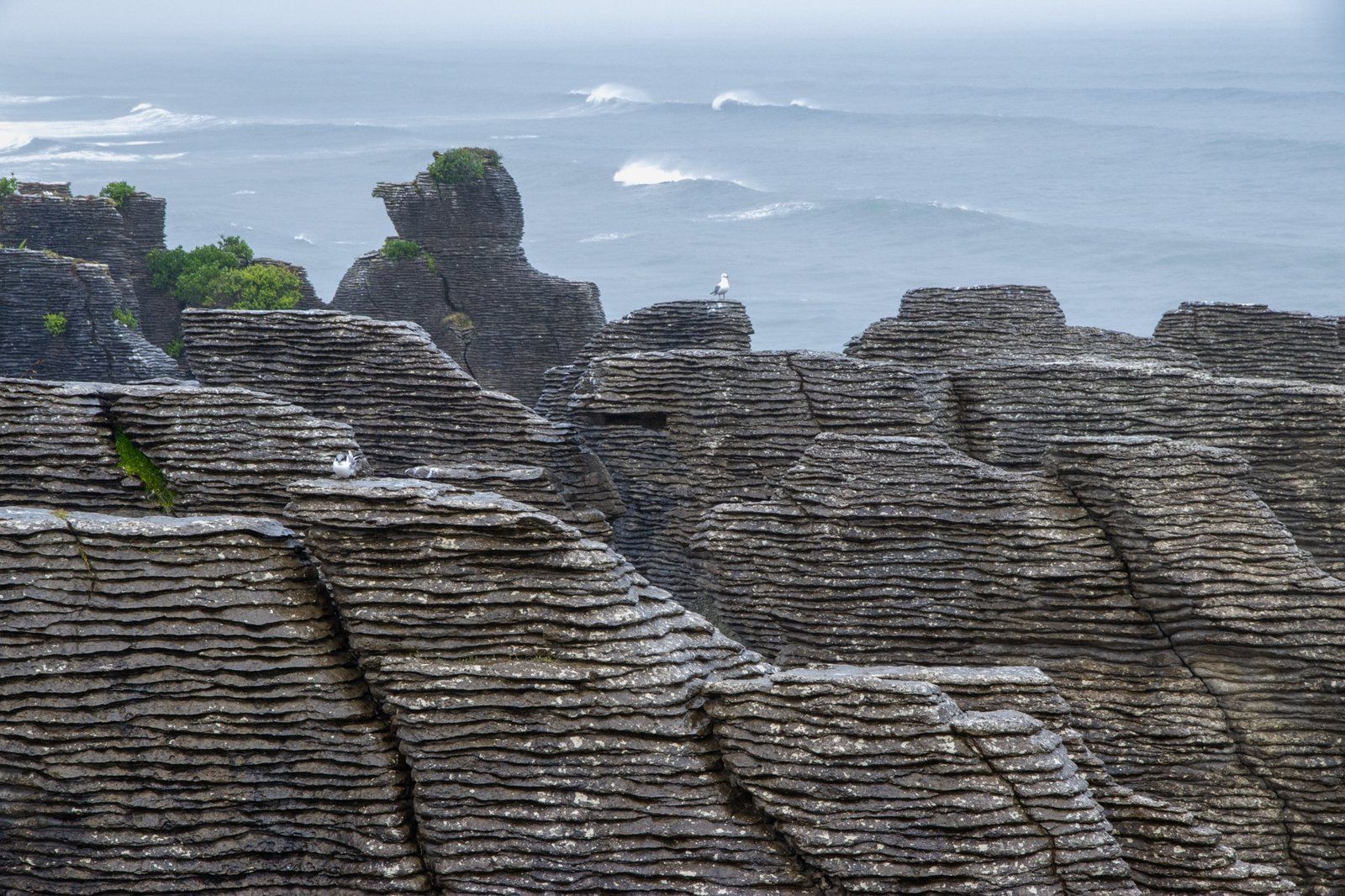
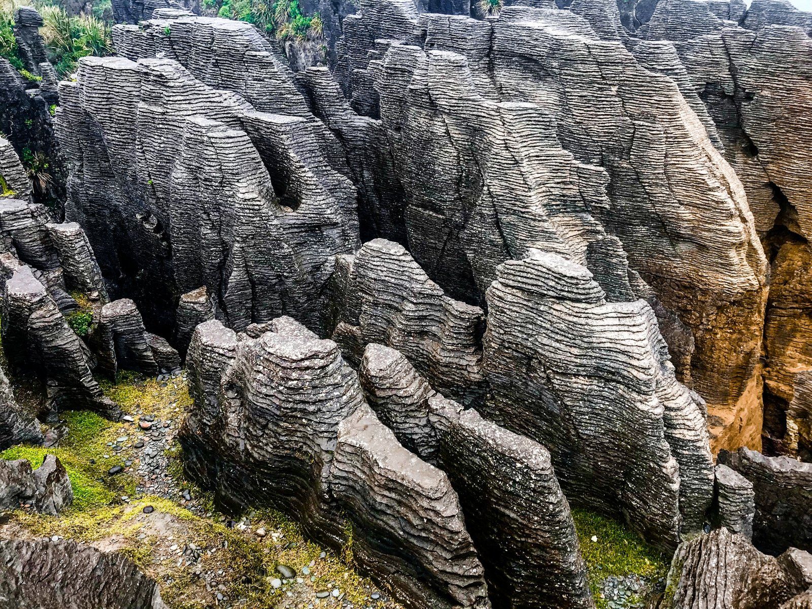
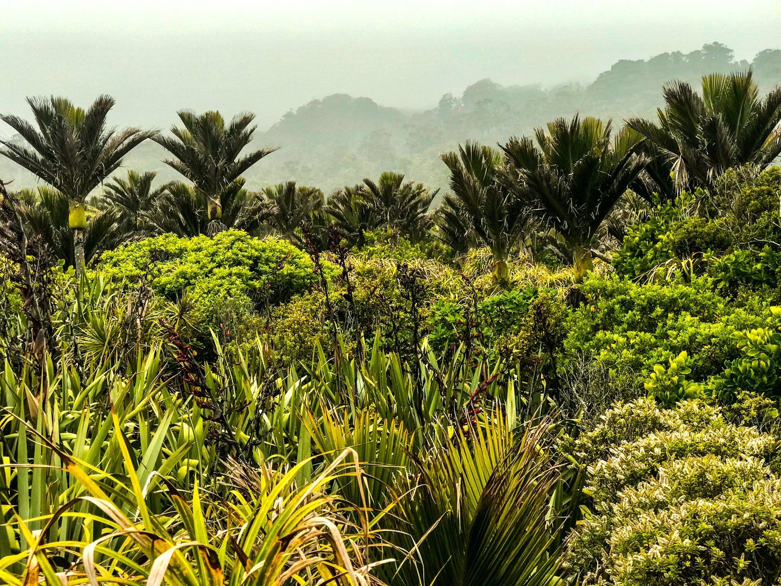
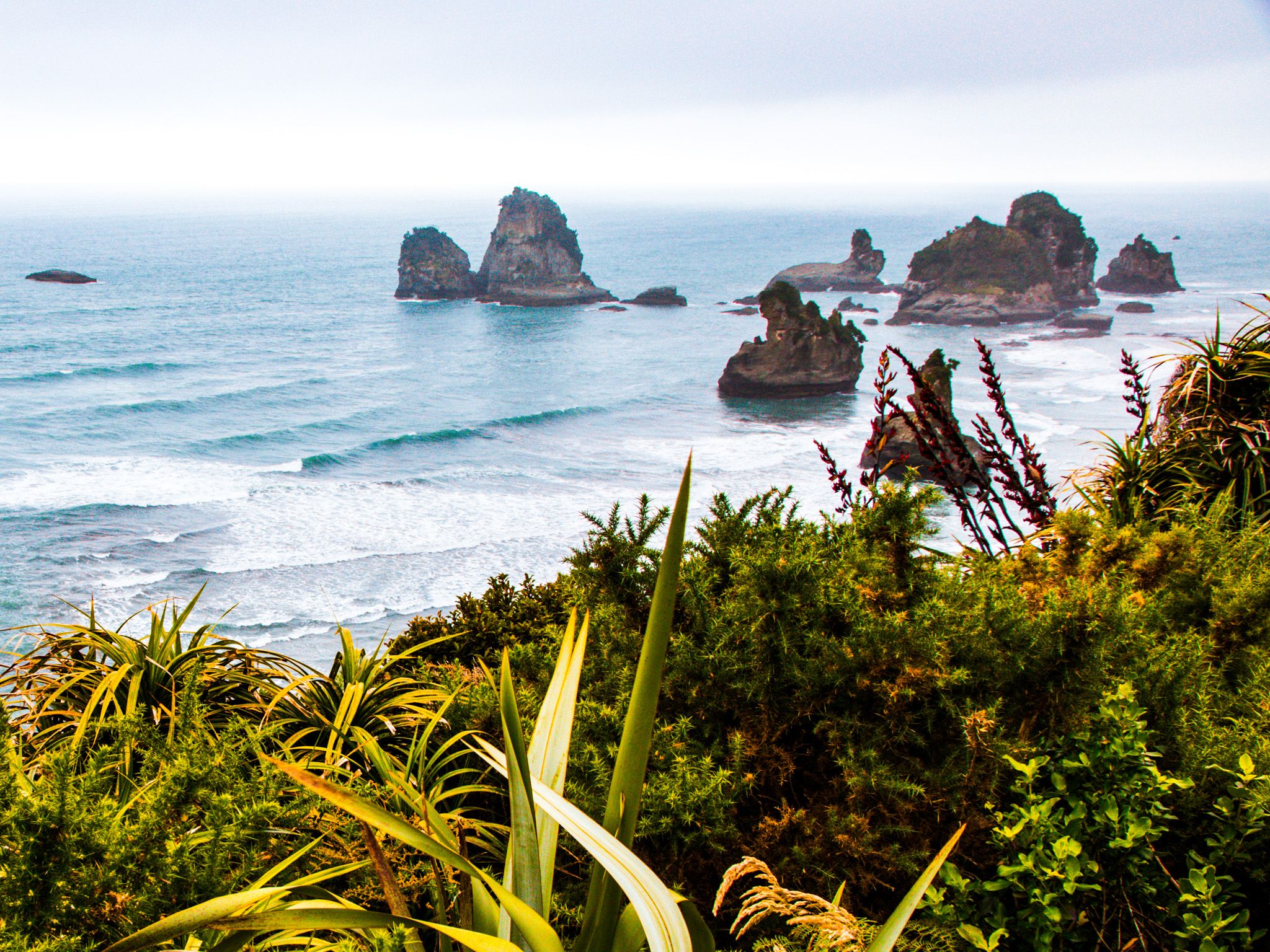
The Pancake Rocks are perched on limestone headlands that jut into the Tasman Sea. From the viewing platforms, you can see where sea caverns have collapsed, leaving blowholes and surge pools that thunder and spray when the tide is right. The rock itself looks like it’s been neatly stacked in dozens of horizontal layers — a rare and visually striking pattern caused by pressure and erosion acting on alternating bands of mudstone and limestone. Fringed by pōhutukawa and nīkau palms, the site also has sweeping views of the headlands to the north and south and crashing surf.
Short Walk, Big Impact
The main loop walk at Punakaiki is a gentle 1.1 km circuit that takes about 20 minutes. It’s a sealed, wheelchair-accessible path that winds through coastal forest before opening onto a series of viewing platforms. From here, you’ll get front-row views of natural features like the Chimney Pot and Devil’s Cauldron. Blowholes are most active around high tide, when waves are funnelled into underground channels and forced up through vertical shafts. The combination of booming sound and sudden spray can take you by surprise, in the best way!
Ancient Stone and Modern Stories
The limestone forming the Pancake Rocks began as seabed sediments around 30 million years ago. Over time, these layers of tiny marine creatures were compressed into stone, then uplifted by tectonic movement. Stylobedding, a process where softer layers erode faster than harder ones, gave the rocks their distinctive pancake look.
The name Punakaiki refers to teh place, but its meaning is uncertain; some sources suggest it refers to spring waters or stacked layers. Early European visitors began referring to the area as “the Pancake Rocks” due to the unusual formations, and the name stuck.
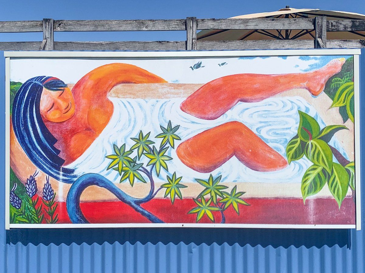
Small Town, Big Draw
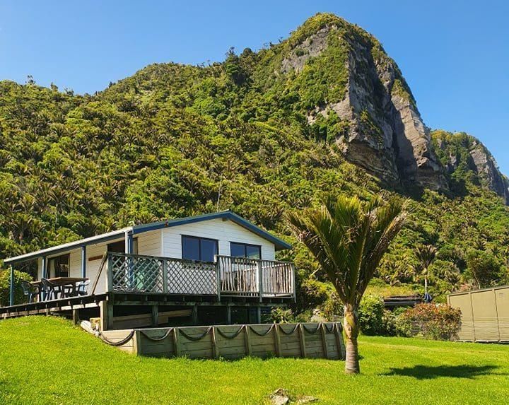
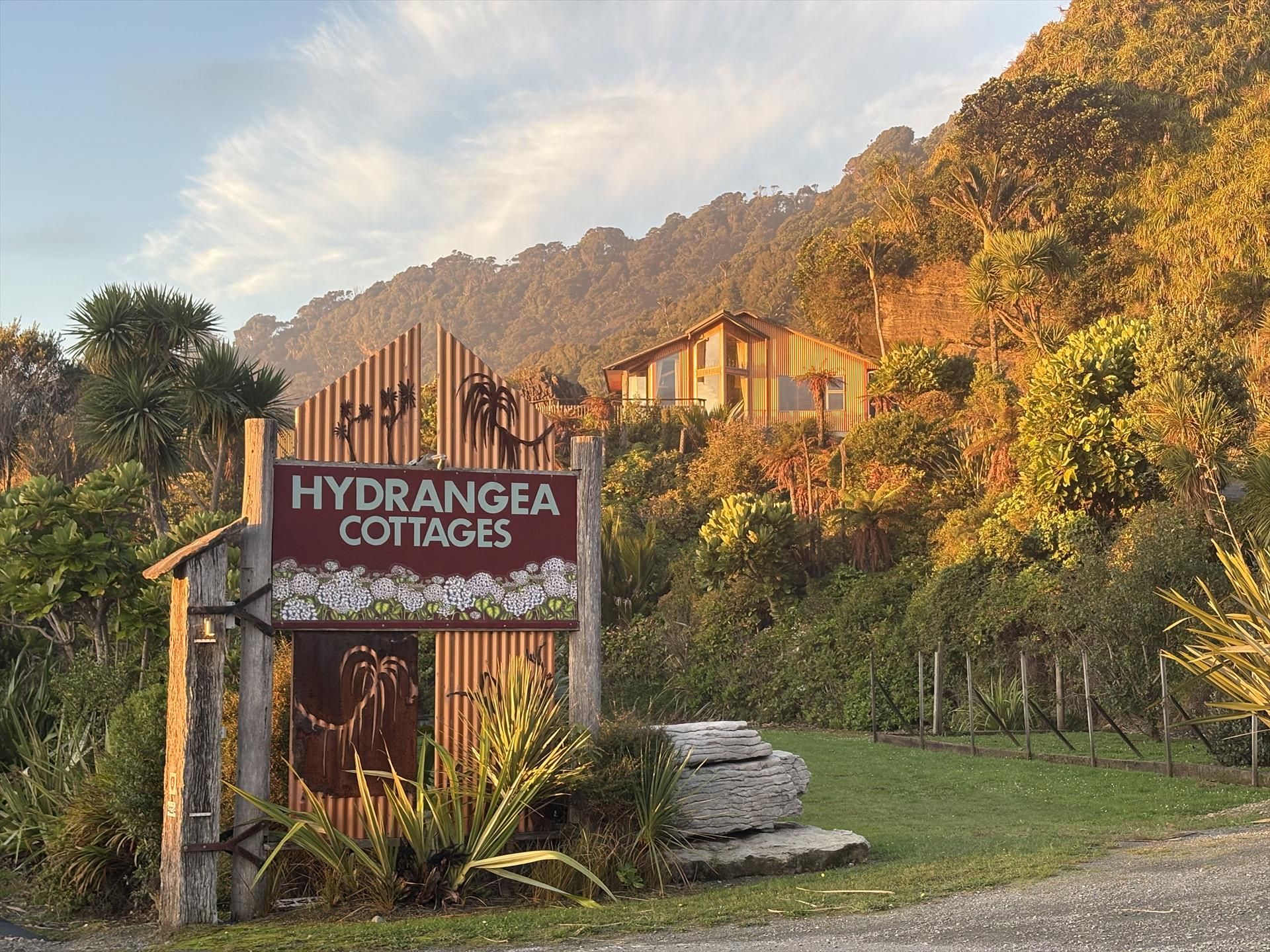
Punakaiki has grown around the fame of the Pancake Rocks. A visitor centre, toilets, parking, and a café are located across the road from the track entrance. You’ll also find local accommodation, including motels, lodges, and a campground.
The area sits within Paparoa National Park, with a range of walking and biking options beyond the rocks. This includes access to the Paparoa Track, one of New Zealand’s Great Walks, which ends near Blackball.
How to Get There
From Christchurch, take SH73 west through Arthur’s Pass to Kumara Junction, then head north on the Great Coast Road section of State Highway 6 toward Punakaiki. The drive takes about 3.5 hours. From Greymouth, it’s just 45 minutes north along SH6, hugging the coastline, and from Westport, it’s 54 minutes.
Nearby places to visit include the Pororari River Track, the Truman Track, and Cape Foulwind near Westport. Heading south down the highway, you can explore Hokitika, Lake Kaniere and the Hokitika Gorge.