Detour to the Signal House Track
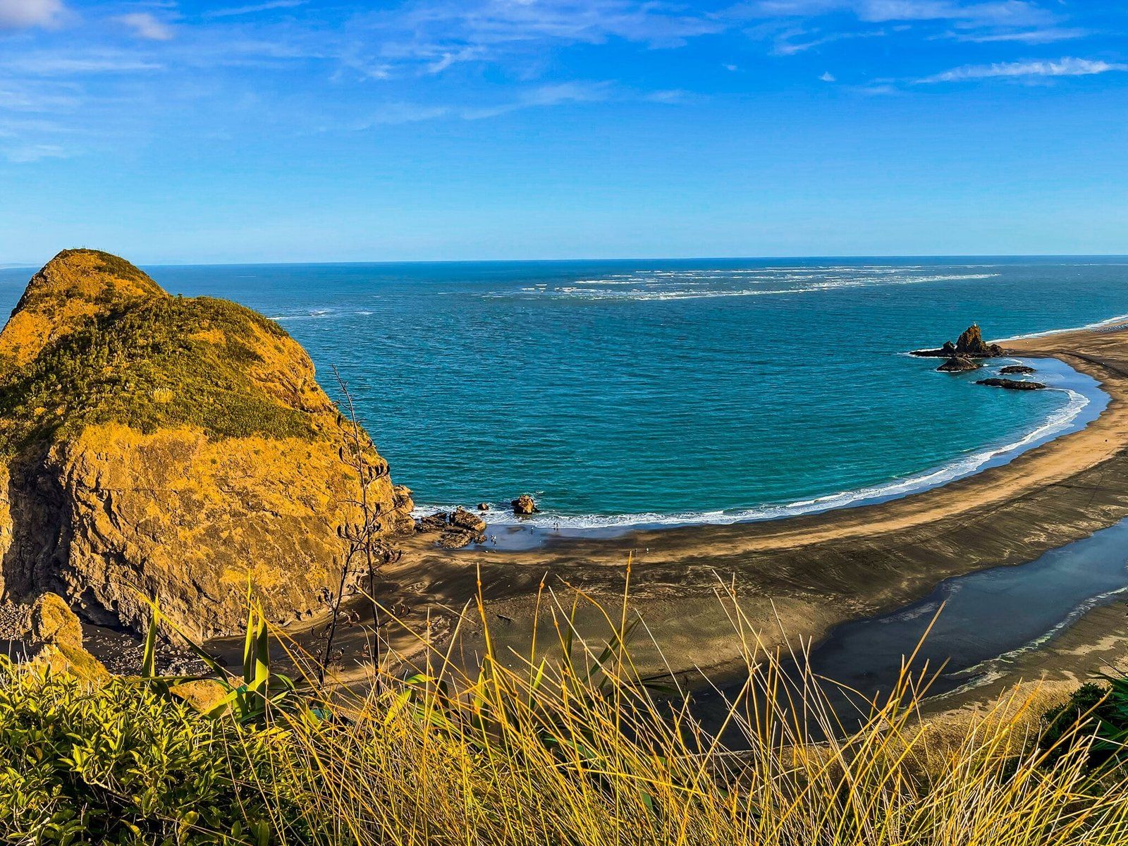
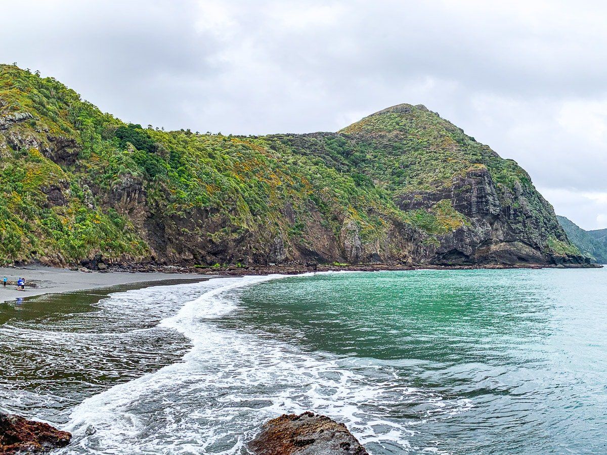
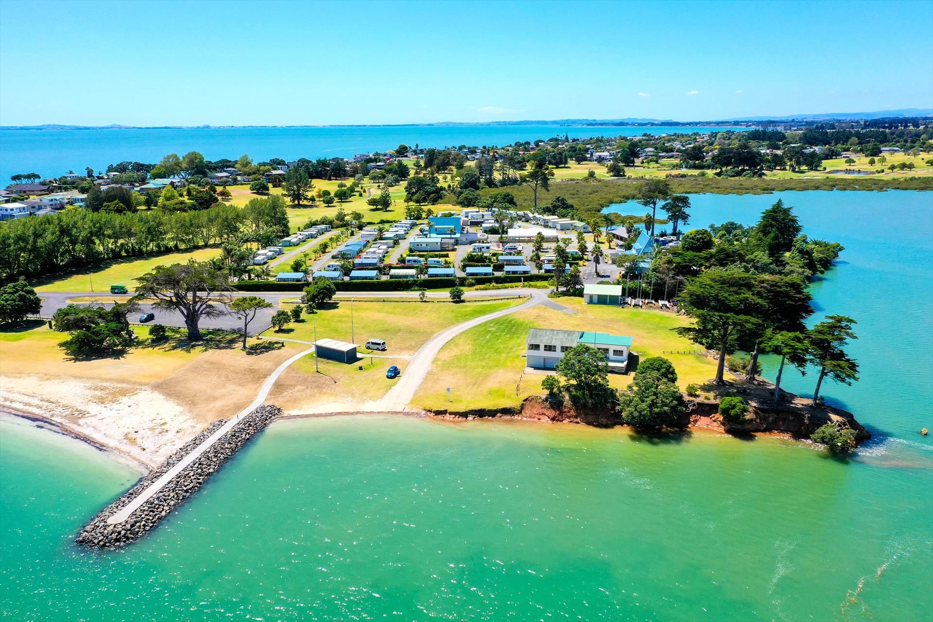
Located on the Omanawanui Track at Whatipū in the Waitākere Ranges, Auckland, the Signal House Track is a brief detour with stunning views. This track has a vantage point over the Whatipū coast. At the far end of the beach, you can spot Te Toka Tapu O Kupe / Ninepins, a notable landmark.
Walking the Track
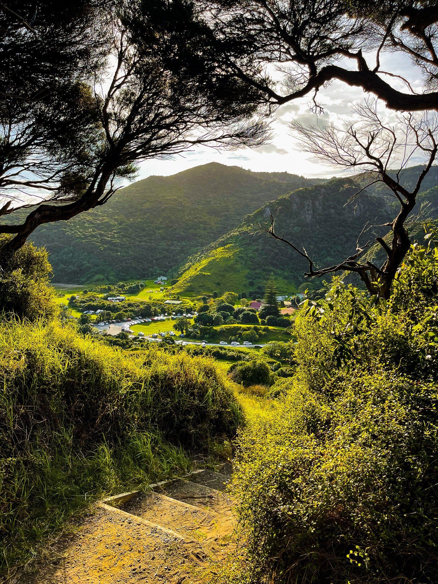
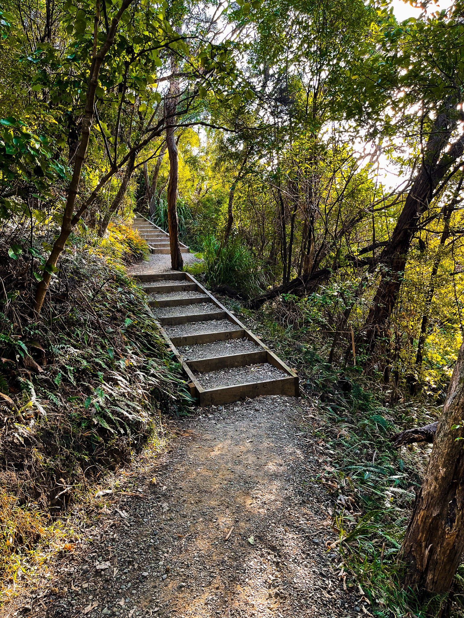
From the Whatipū car park, head to the start of the Omanawanui Track. This begins with a series of steps that climb about 90 metres, where you will find the Signal House Track detour. The detour track is easy and takes you to a flat natural platform with a cliff edge above Puratutae Island and the striking crescent shape of Whatipu Beach. At the far end of the beach, you can spot Te Toka Tapu O Kupe / Ninepins, a notable landmark.
The walk is short, taking approximately 15 minutes each way from the Whatipu car park. You can extend your walk by continuing up the steeper steps to Wing Head. This additional section takes about 10 minutes and climbs another 100 metres. For this variation, plan for roughly an hour to make the round trip back to the car park.
How to get there
To reach Whatipū from Titirangi, take Huia Road to Little Huia, then follow gravel Wnatipū Road to the car park. The drive takes 35 minutes and is 21 km. The section on Whatipu Road is especially winding and mostly a narrow gravel road, so drive carefully.
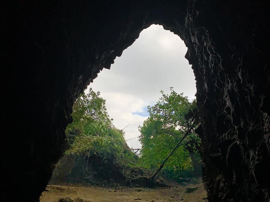
Other places to explore around Whatipū include Wonga Wonga Bay, Whatipu Caves Walk and the Gibbons and Muir Tracks.