Exploring Whitford on Auckland's Edge
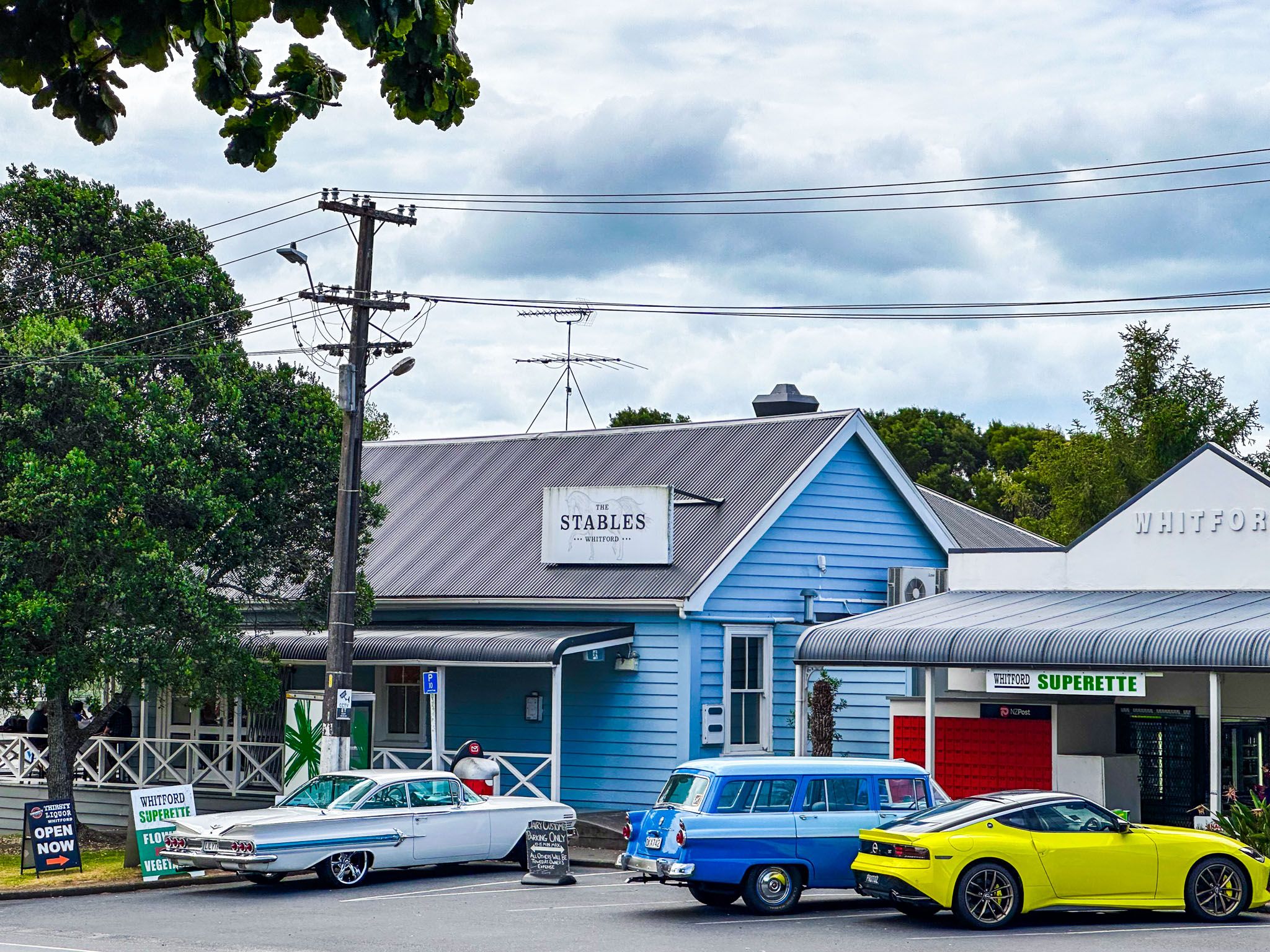
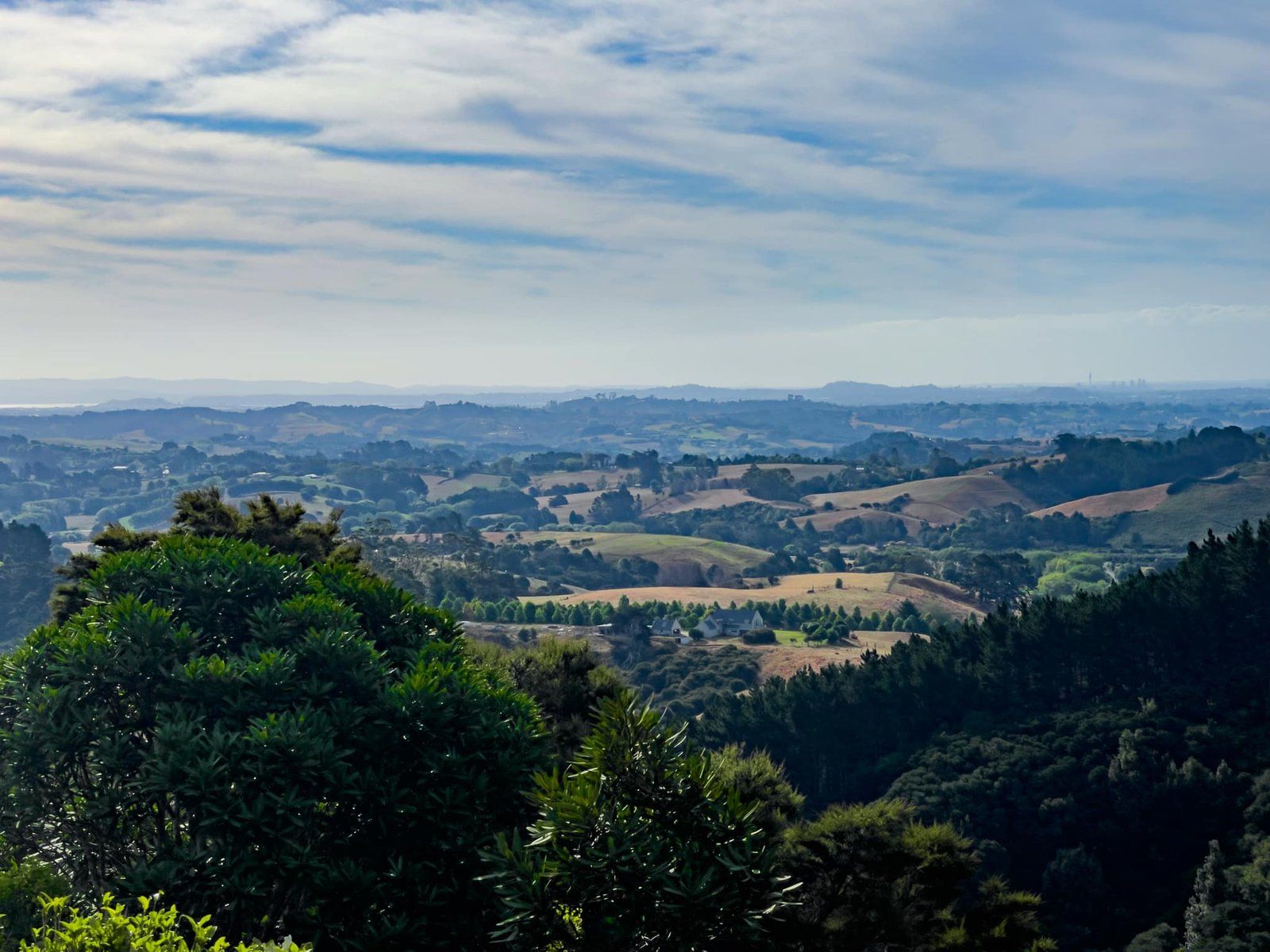
Whitford is a quaint village located on the rural eastern edge of Auckland City, surrounded by rolling hills and known for its horse stables. This area is a peaceful escape from the city, making it a popular weekend destination. Whitford is also the gateway to the Pōhutukawa Coast.
Village Attractions and Activities
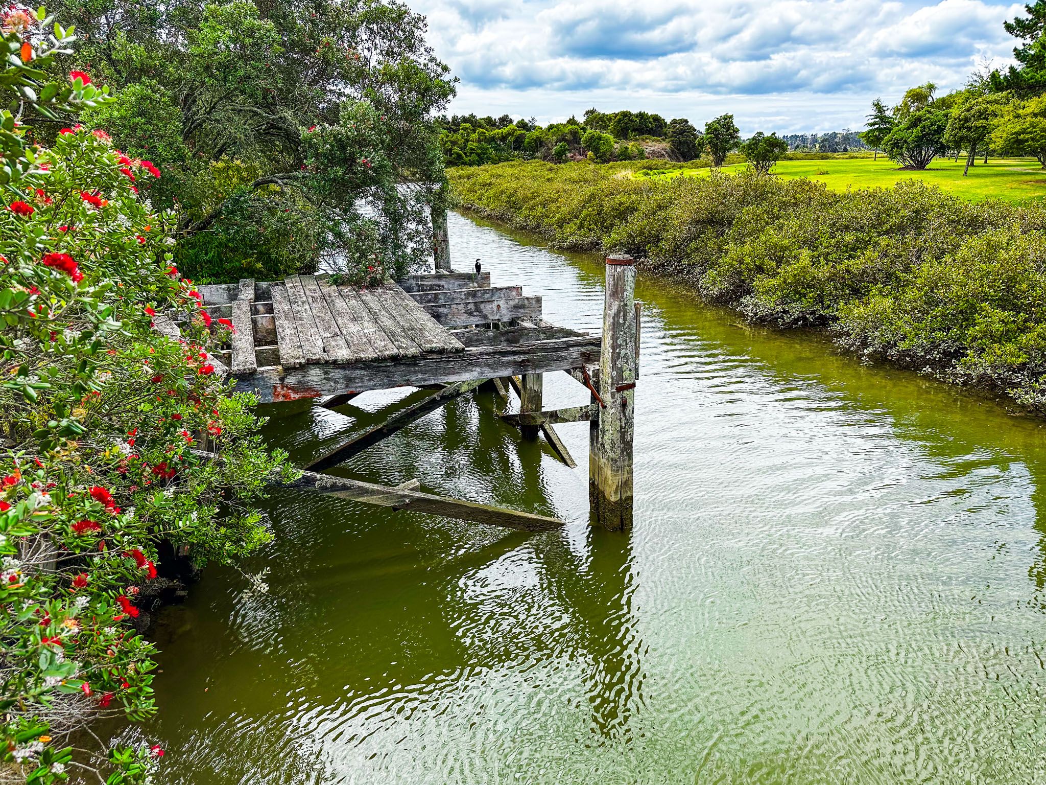
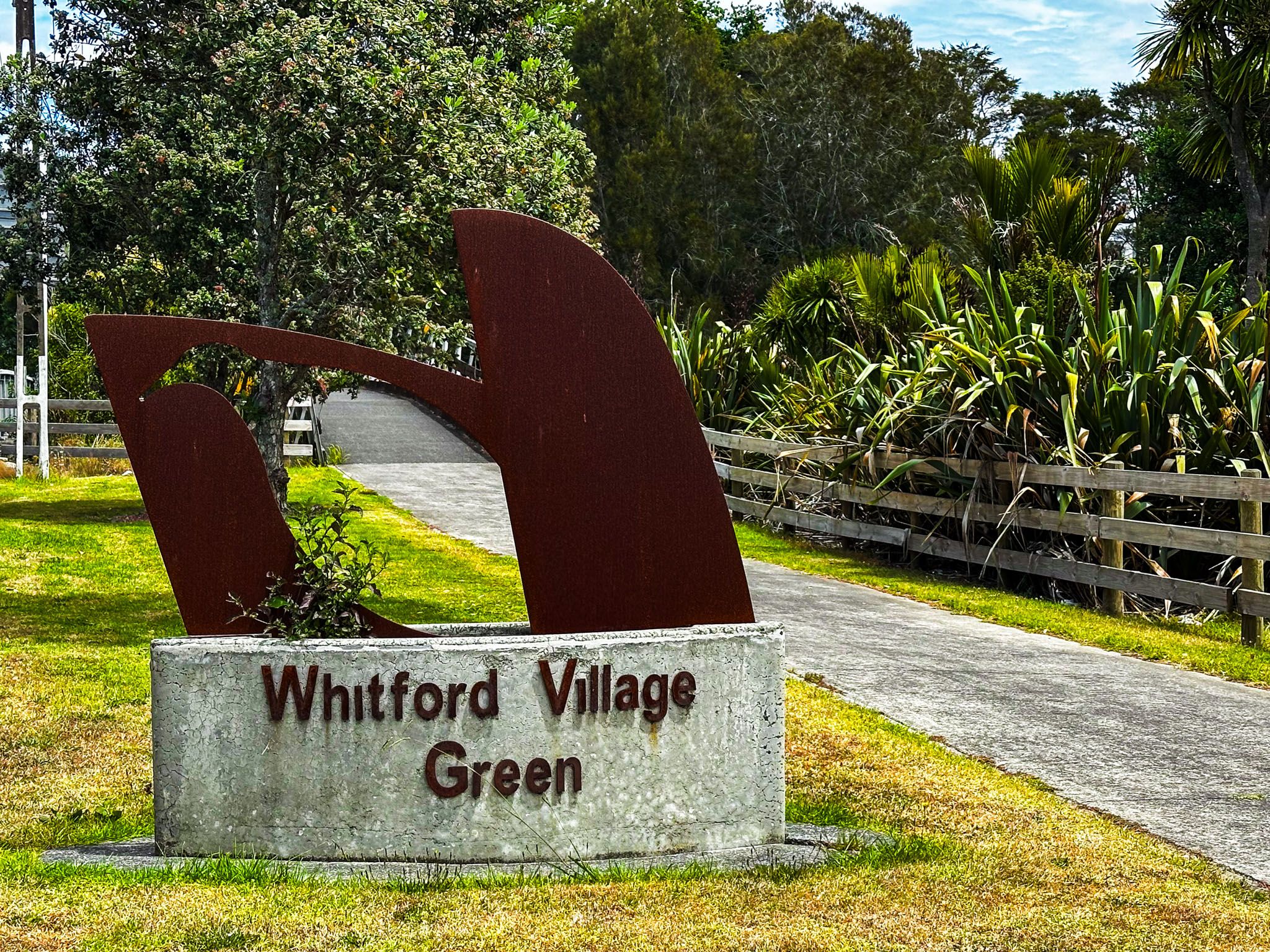
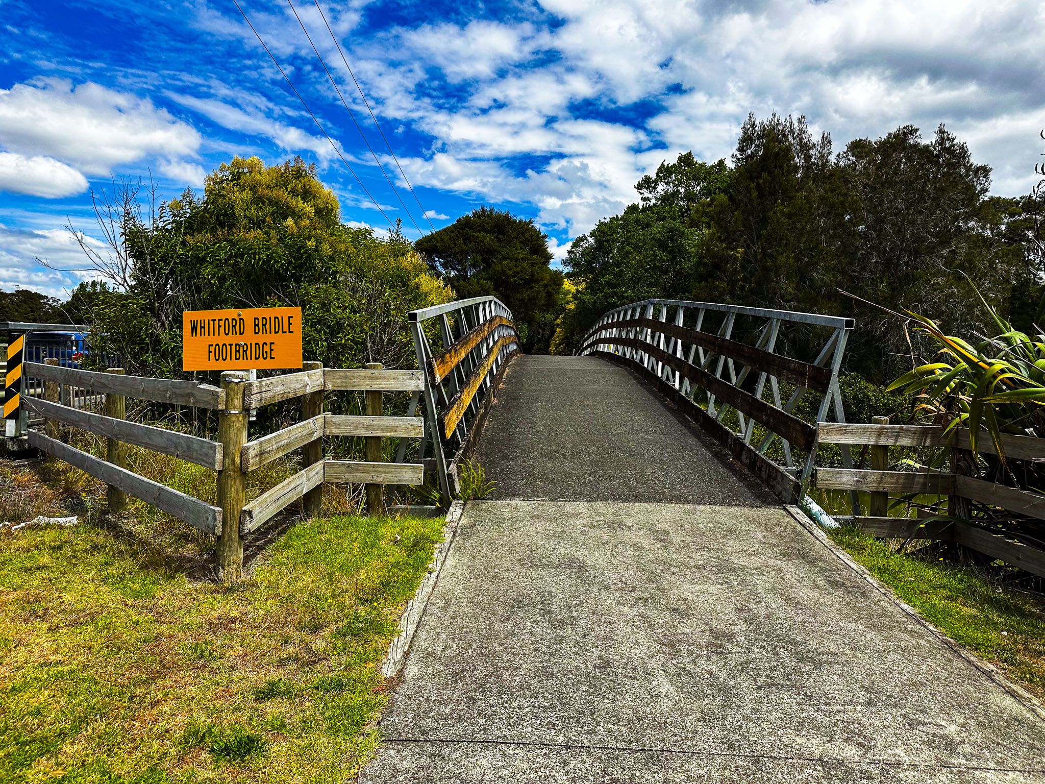
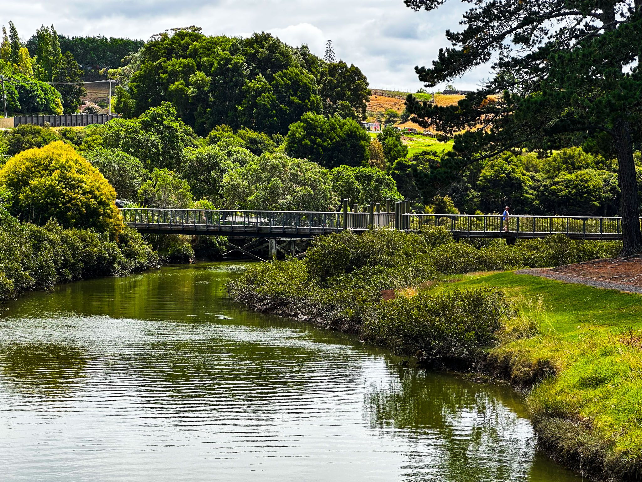
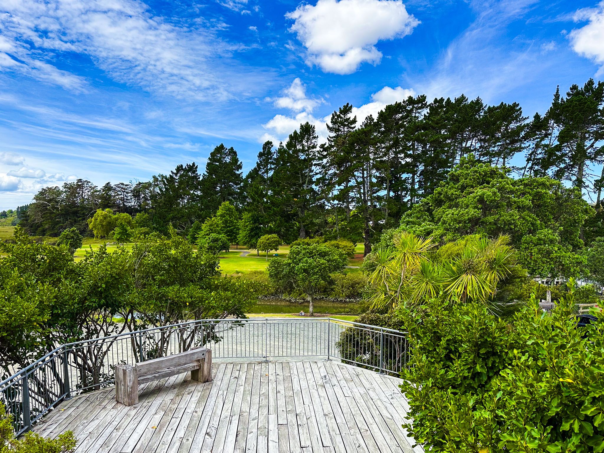
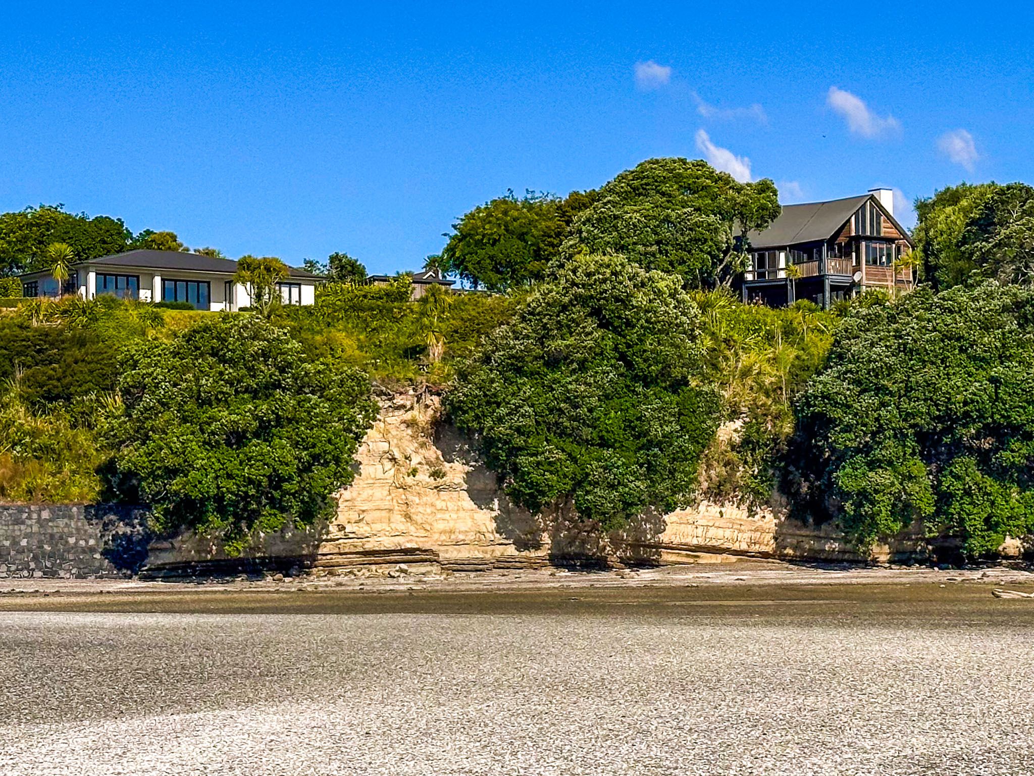
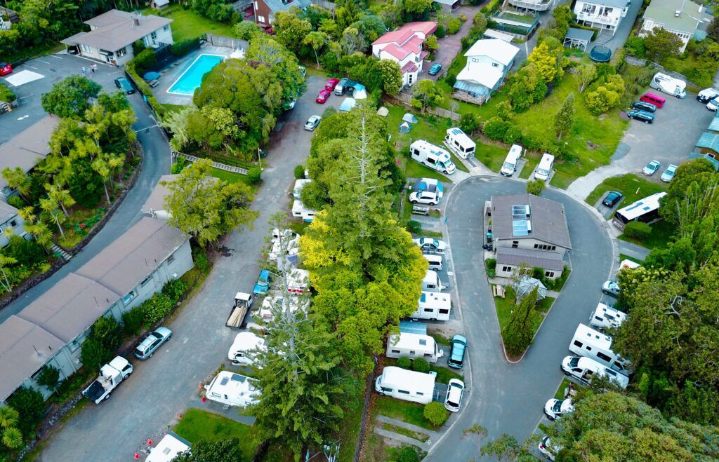
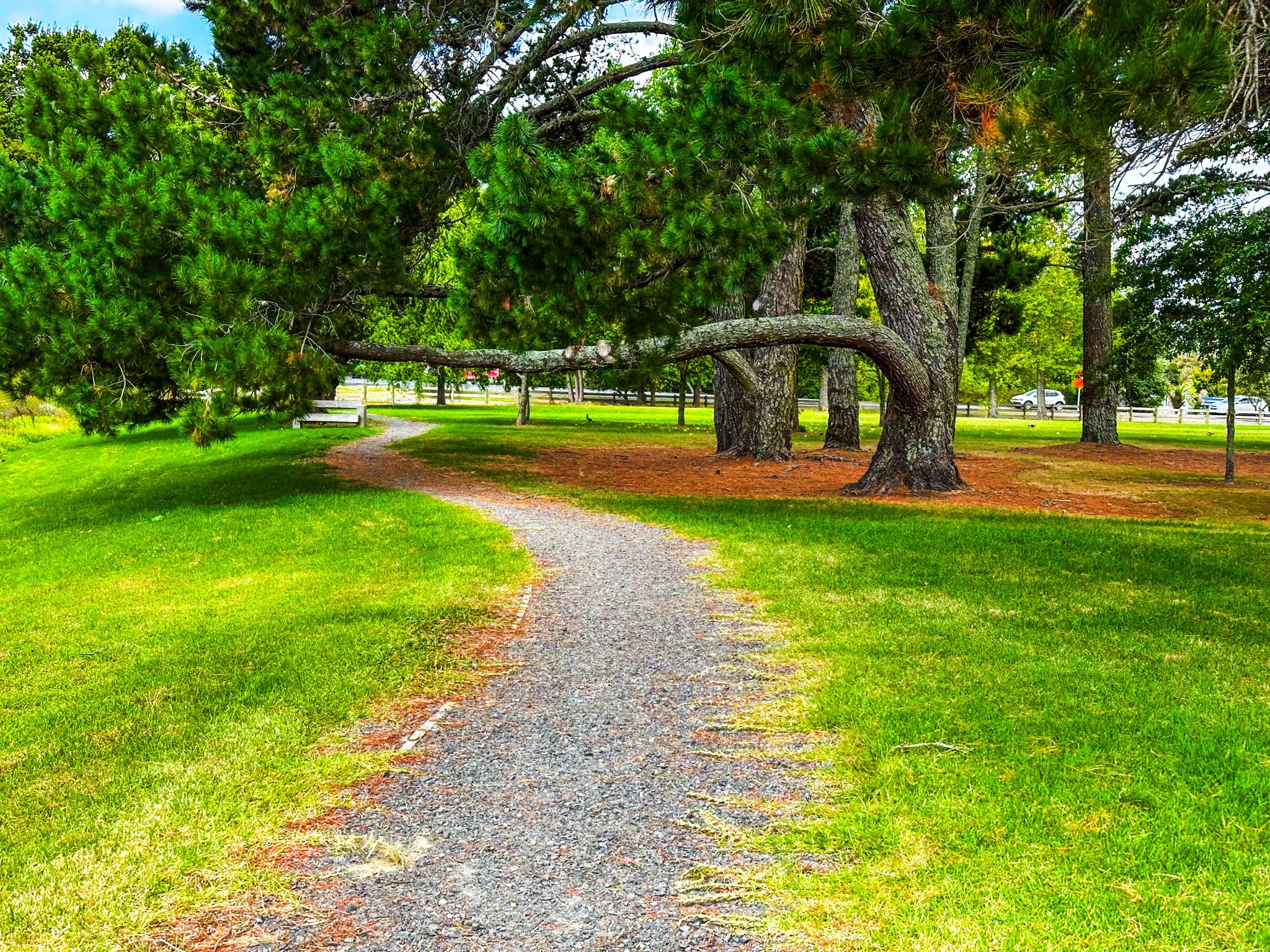
In Whitford, you will find several cafés and galleries that provide a relaxing stop. Tūranga Creek flows into the Tāmaki Strait on the village's east side, where the Village Green park is located. This grassed reserve features mature exotic pine trees and a sealed pathway that forms a loop with the village. The loop includes two bridges over the stream, offering views of the old Whitford pier and a small viewing tower on the north side.
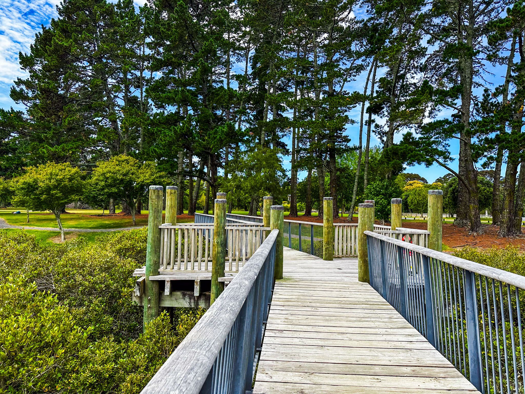
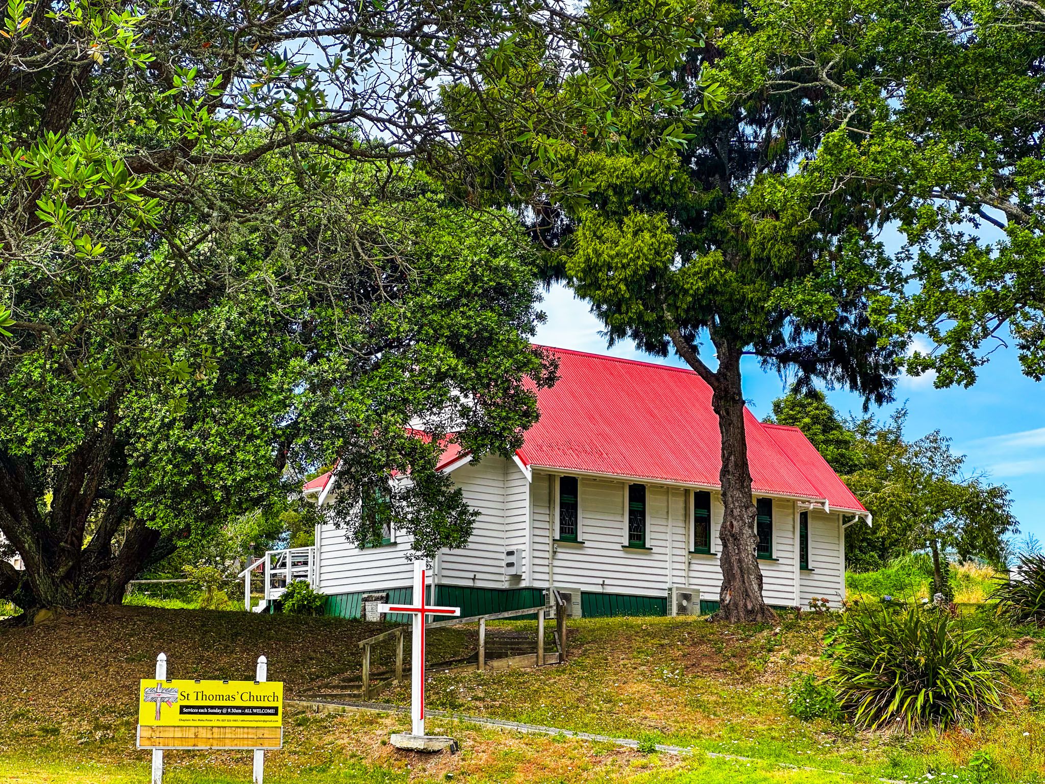
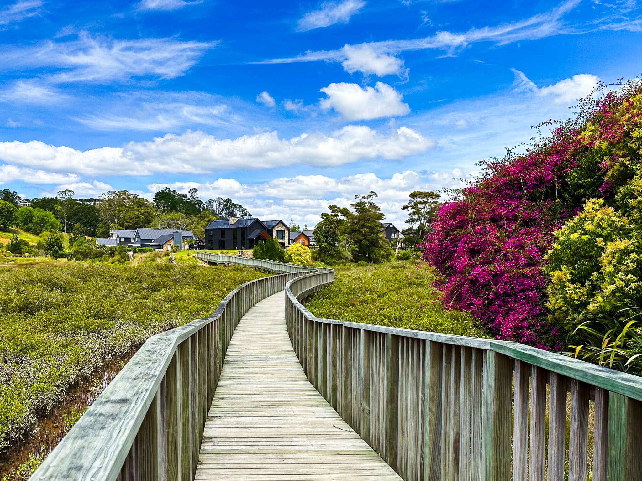
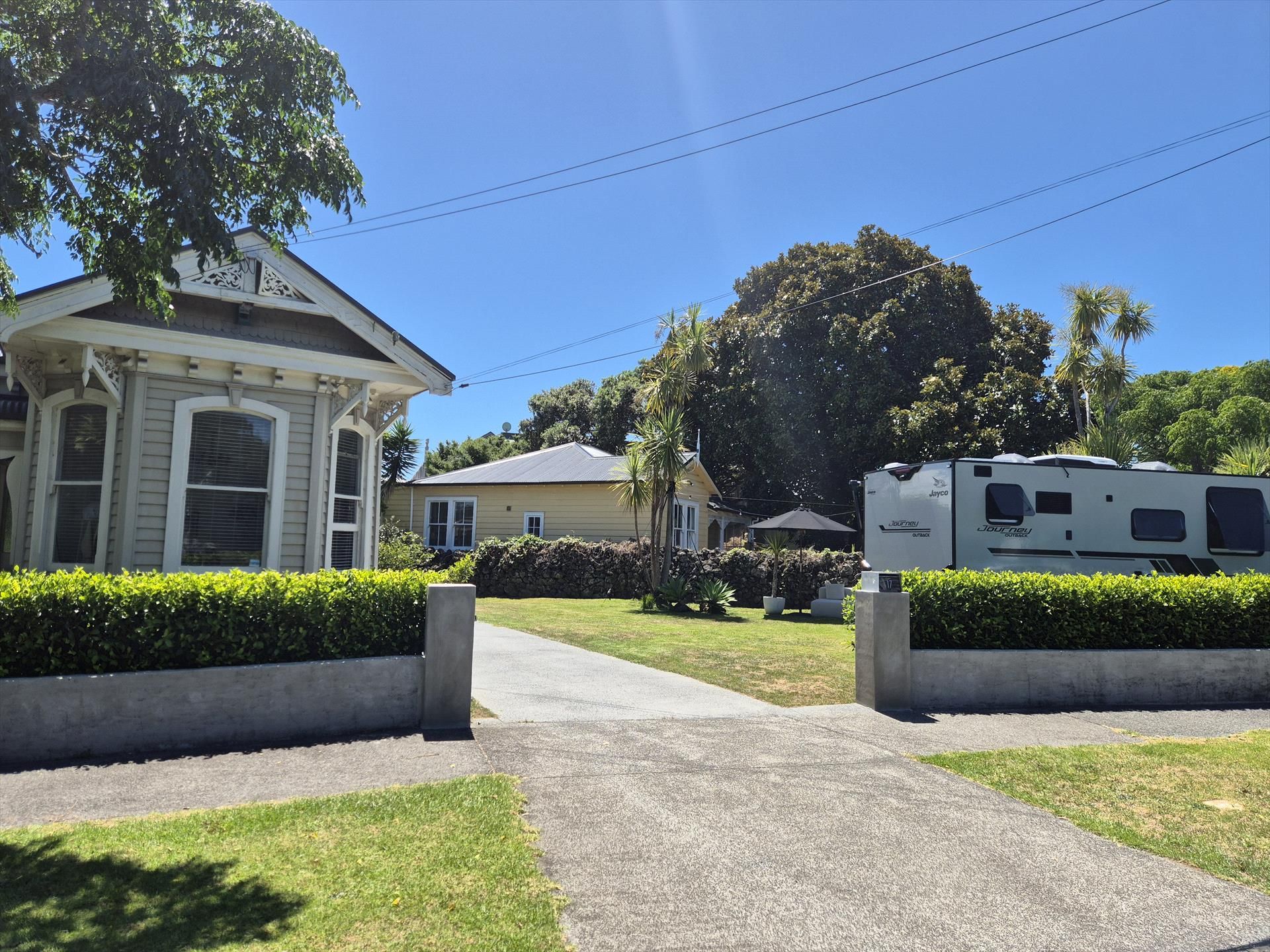
On the south side, along Whitford Maraetai Road, stands St Thomas, a small historic church. Nearby, a playground sits alongside the stream. A raised boardwalk on the southwest side of the stream leads above the mangroves to a cluster of houses.
Historical Significance
Tūranga Creek is historically important as a landing site of the Tainui waka in the 1300s. The creek's name, meaning anchorage, comes from the volcanic rock to which the waka was tethered.
The Tainui followers of Manawatere, known as Ngā Oho, settled the area along the Pōhutukawa Coast to Tūwakamana (Cockle Bay, in Howick). The creek was a vital source of food and resources, and its access to the Tāmaki Strait facilitated coastal trade. The Ngāi Tai ki Tāmaki iwi are descendants of these early settlers.
European Settlement and Development
European traders arrived in the early 1800s, and by the 1840s, the government acquired much of the land previously purchased by missionary William Fairburn. This land was then sold to European settlers.
Originally called Turanga, the area was renamed Whitford in 1882. The name's origin is debated, with explanations ranging from a local flax mill operator named Richard Whitford to a description of a low tide dried salt ford on Tūranga Creek. The Nathan family, who owned Whitefoord Park, which encompassed much of the area until subdivision in 1903, may also have played a role in the name's adoption.
The settlement period saw several developments, including a failed gold-mining attempt that became Whitford Quarry, ostrich farming, and racehorse breeding. The Nathan family established a racetrack, attracting Aucklanders who travelled by boat for race days. Until the 1920s, contact with Auckland remained primarily by boat.
How to Get There
To reach Whitford from Downtown Auckland, take the southern motorway to teh Redoubt Road off-ramp. From there, follow Redoubt Road east to Murphy Road, then head north to Ormiston Road. Turn east onto Ormiston Road, which becomes Sandstone Road as it winds north to connect with Whitford Road. Head northwest on Whitford Road to Whitford. The drive takes 33 minutes and is 31 km.
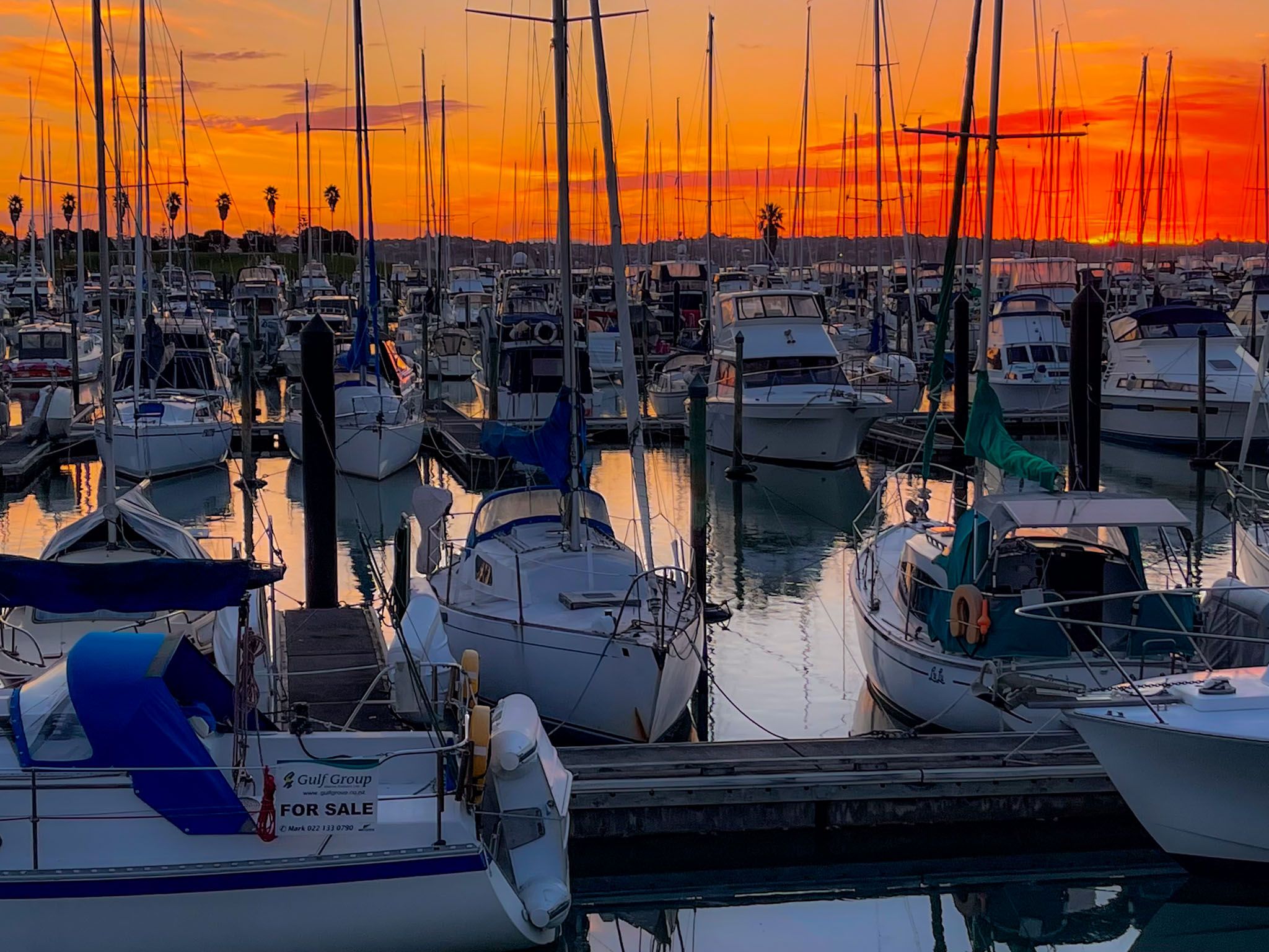
From Whitford, you can explore the Pōhutukawa Coast, with Pine Harbour, Motukaraka Island, Beachlands, Ōmana Regional Park, Maraetai, Duder Regional Park and Clevedon.