Discovering Maraetai
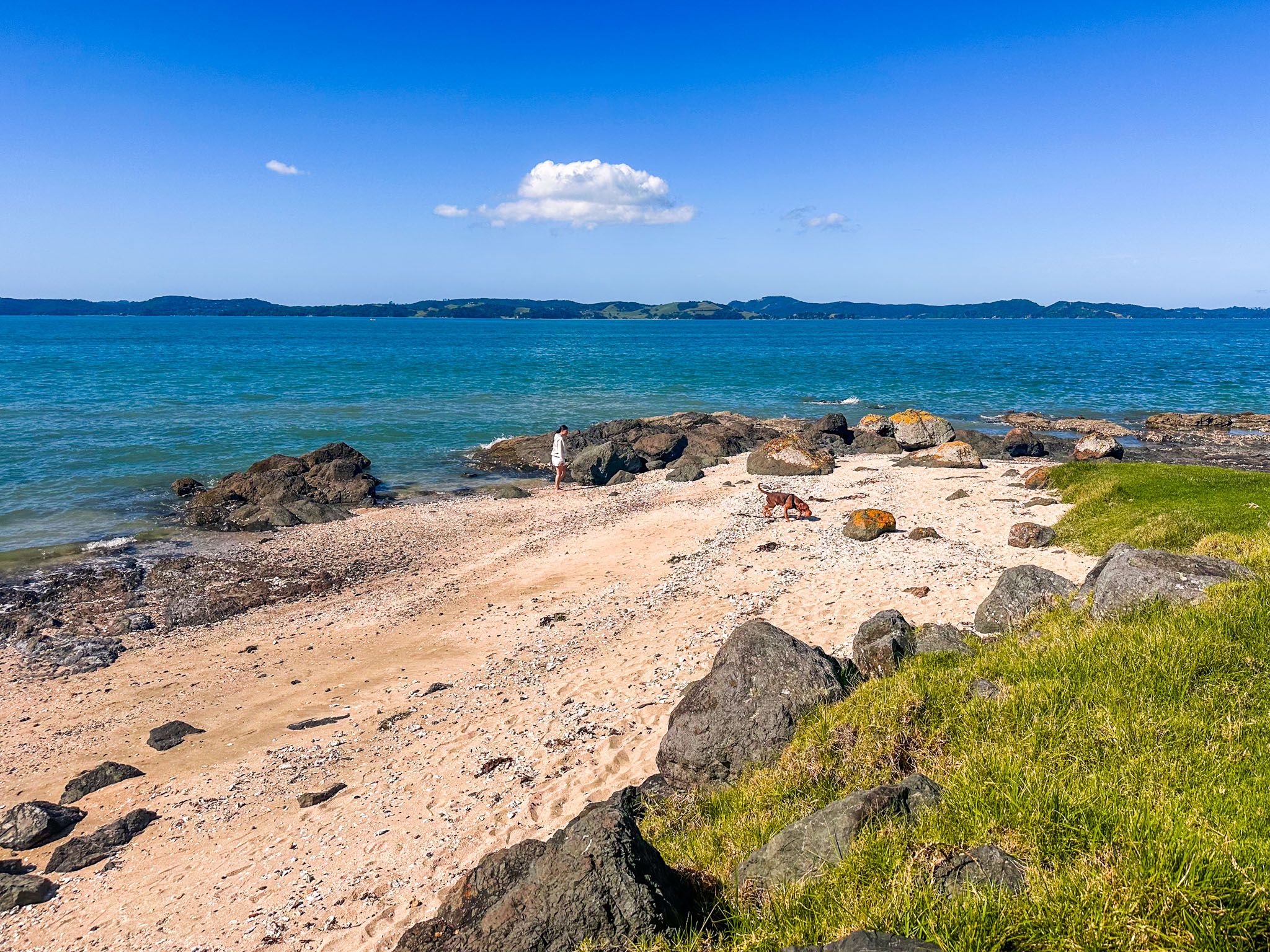
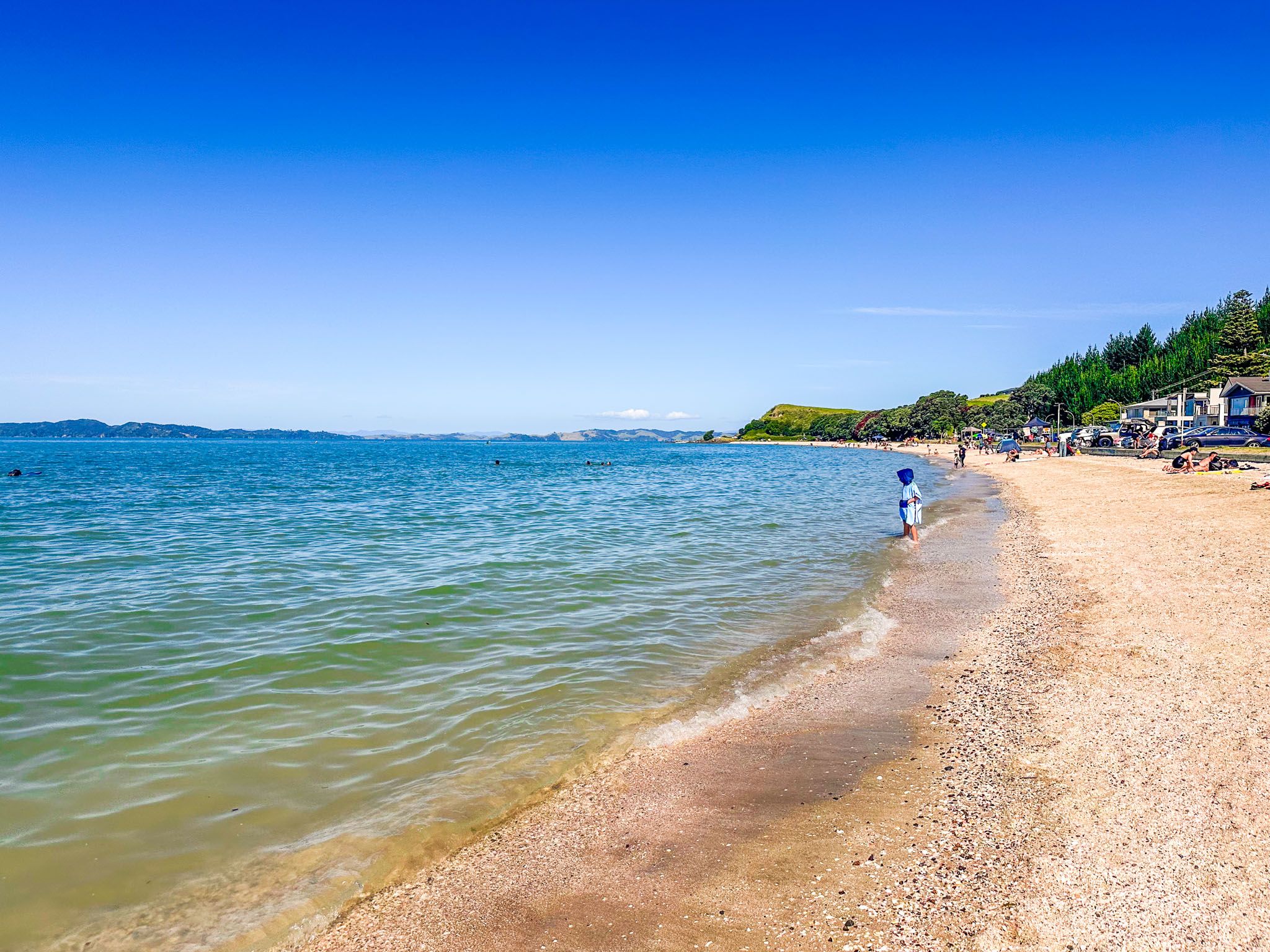
Maraetai is a charming coastal town located 24 km east of Downtown Auckland on the Pōhutukawa Coast. Situated along the Tāmaki Strait, it has stunning views northward to Waiheke Island in the Hauraki Gulf. A key attraction is its 1 km of golden sand beach, a popular spot for safe, sheltered swimming during the summer months.
Exploring the Beach and Surroundings
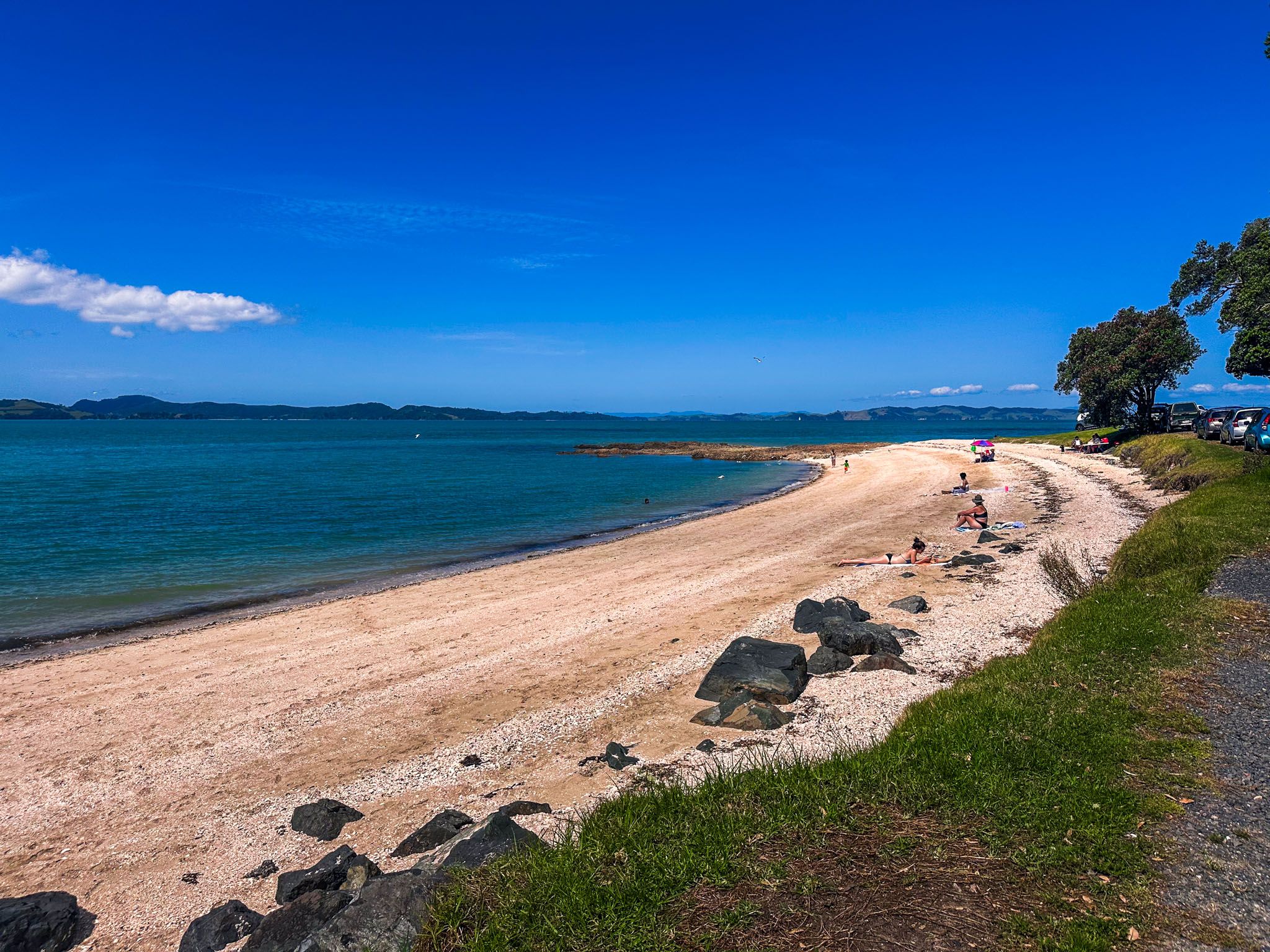
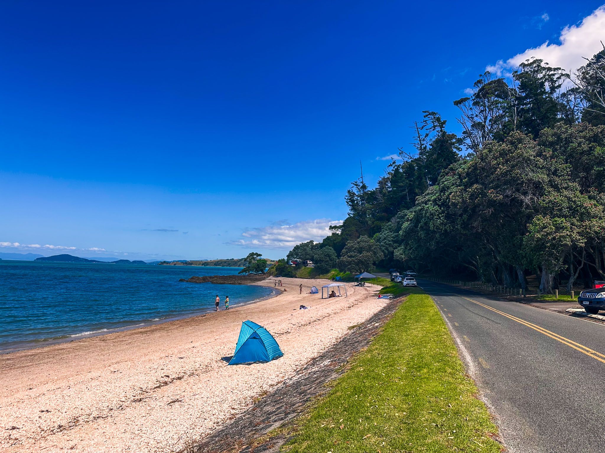
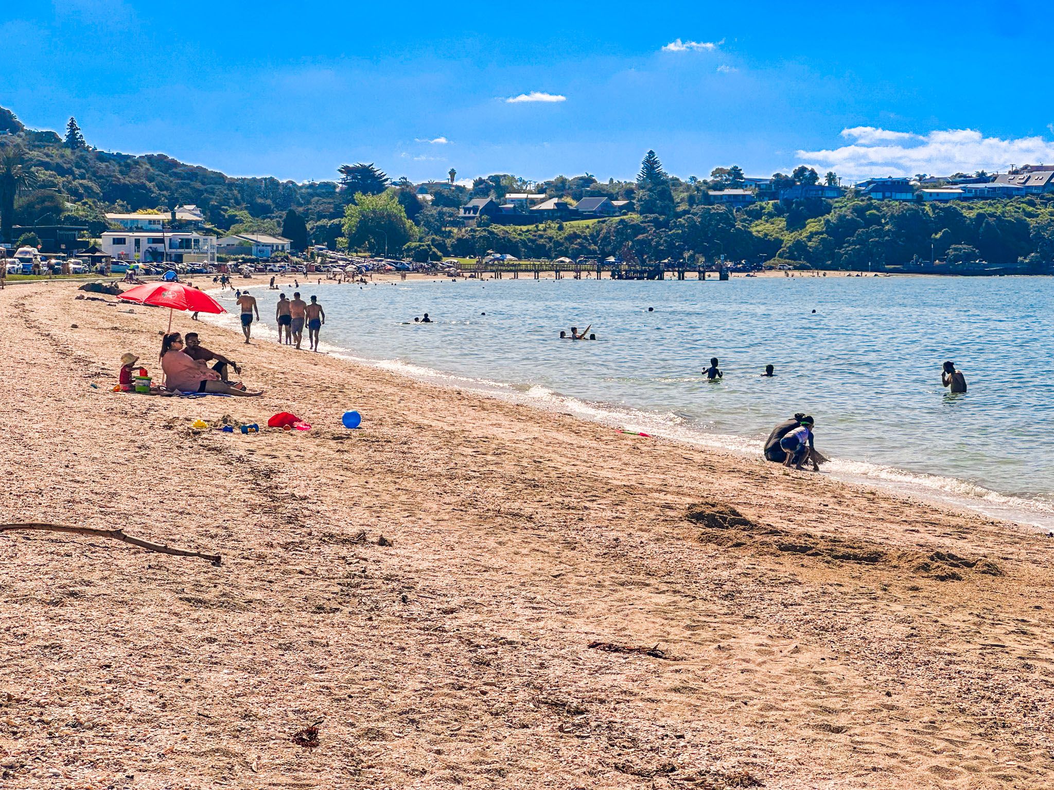
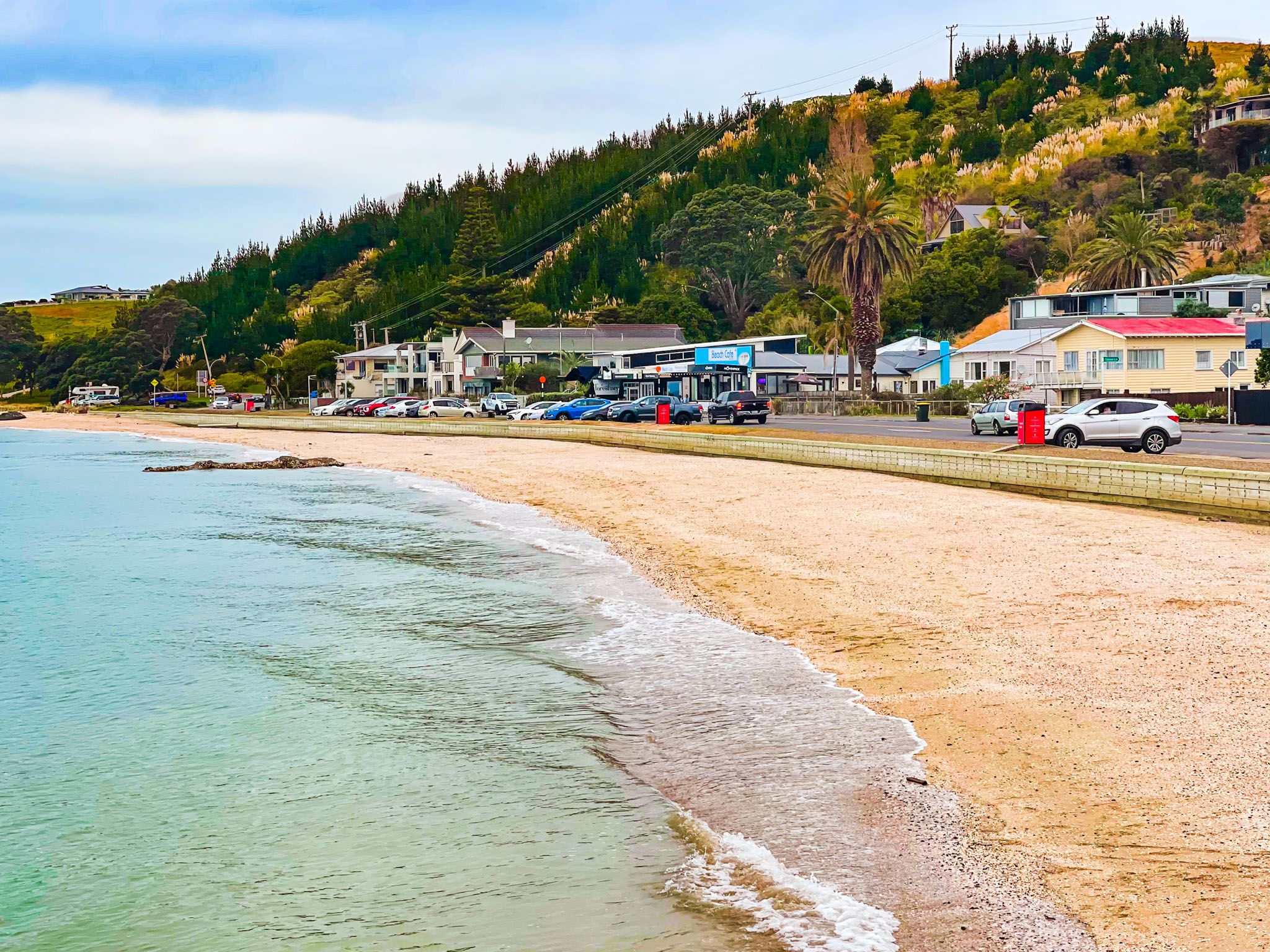
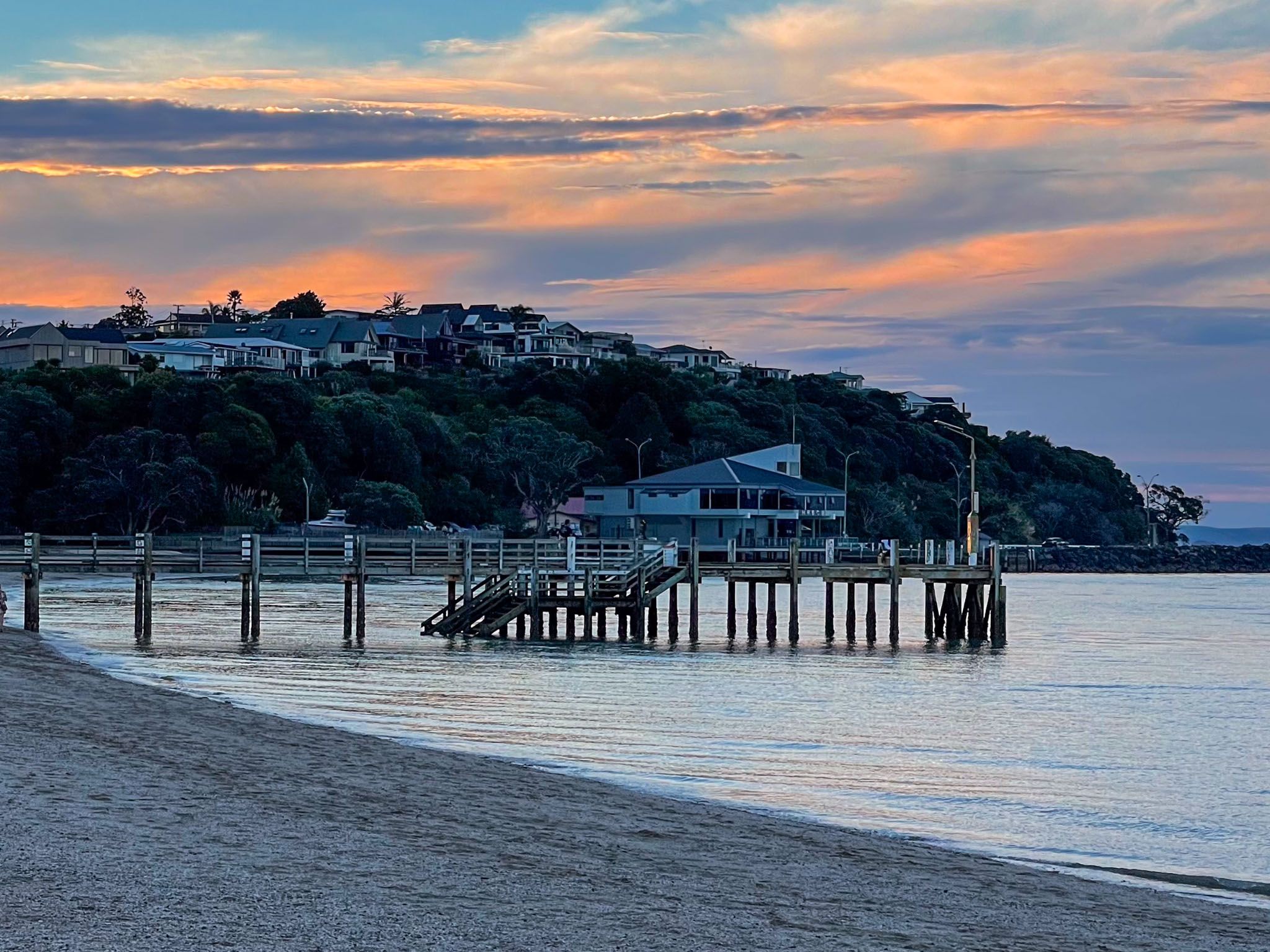
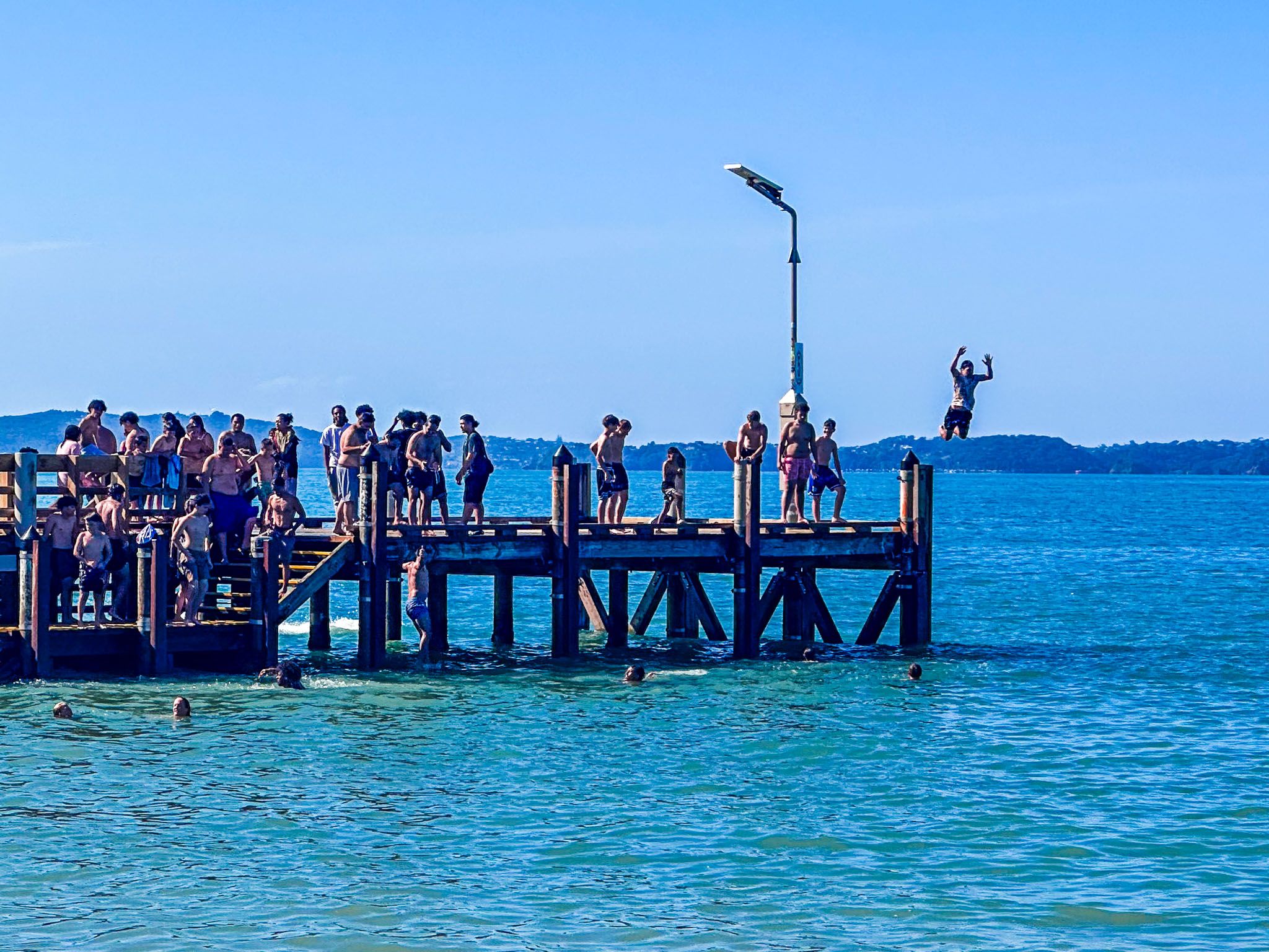
The main beach in Maraetai is divided by a prominent wharf. The section west of the pier is commonly referred to as Maraetai Beach, while the area east of the pier is known as Ohinerangi Beach, though there is little distinction between the two. The beach is easily accessible via Maraetai Drive and Maraetai Coast Road, which run parallel to the shoreline. A shared path along the road provides convenient access to the beach and several nearby cafés and restaurants.
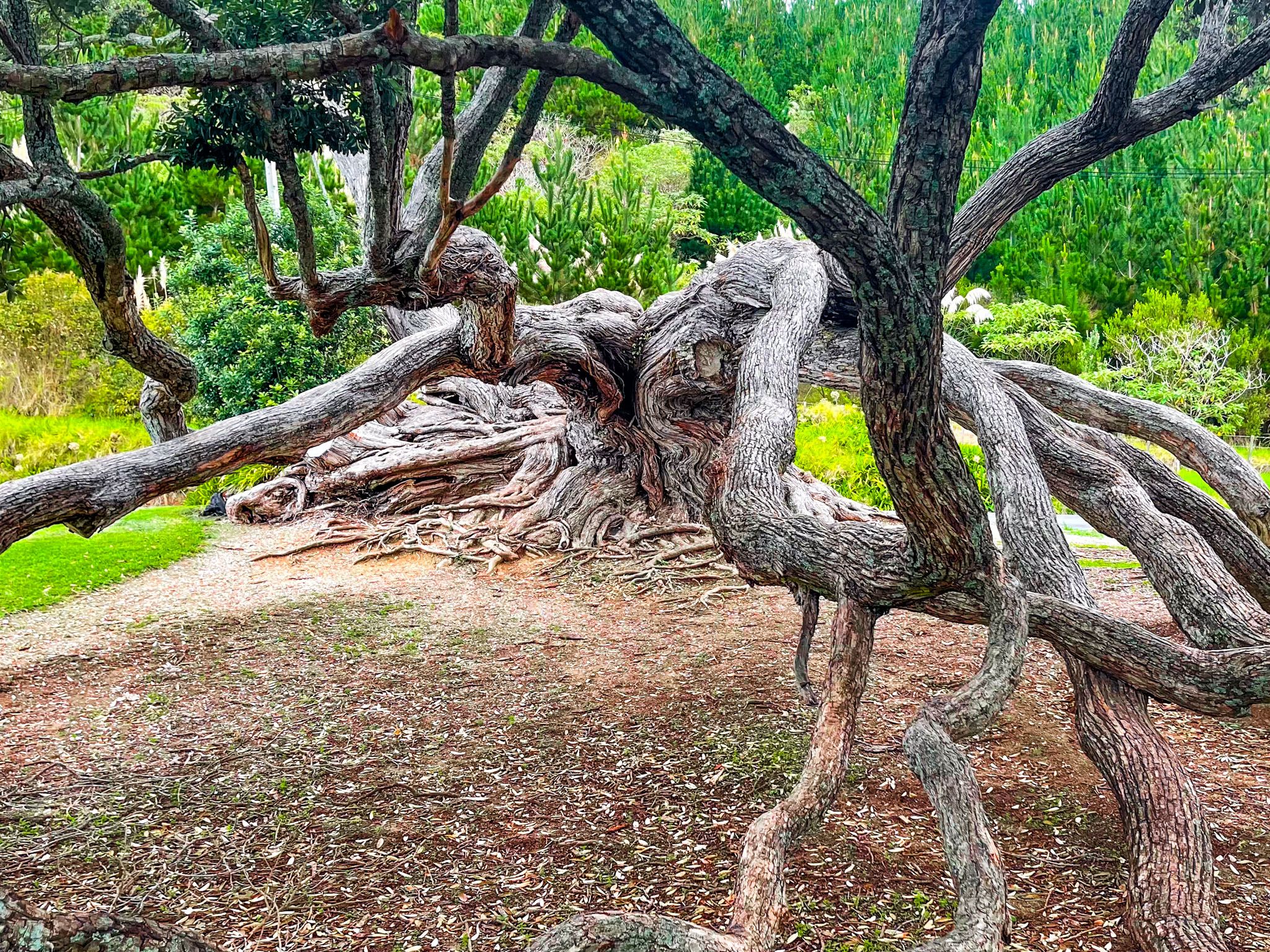
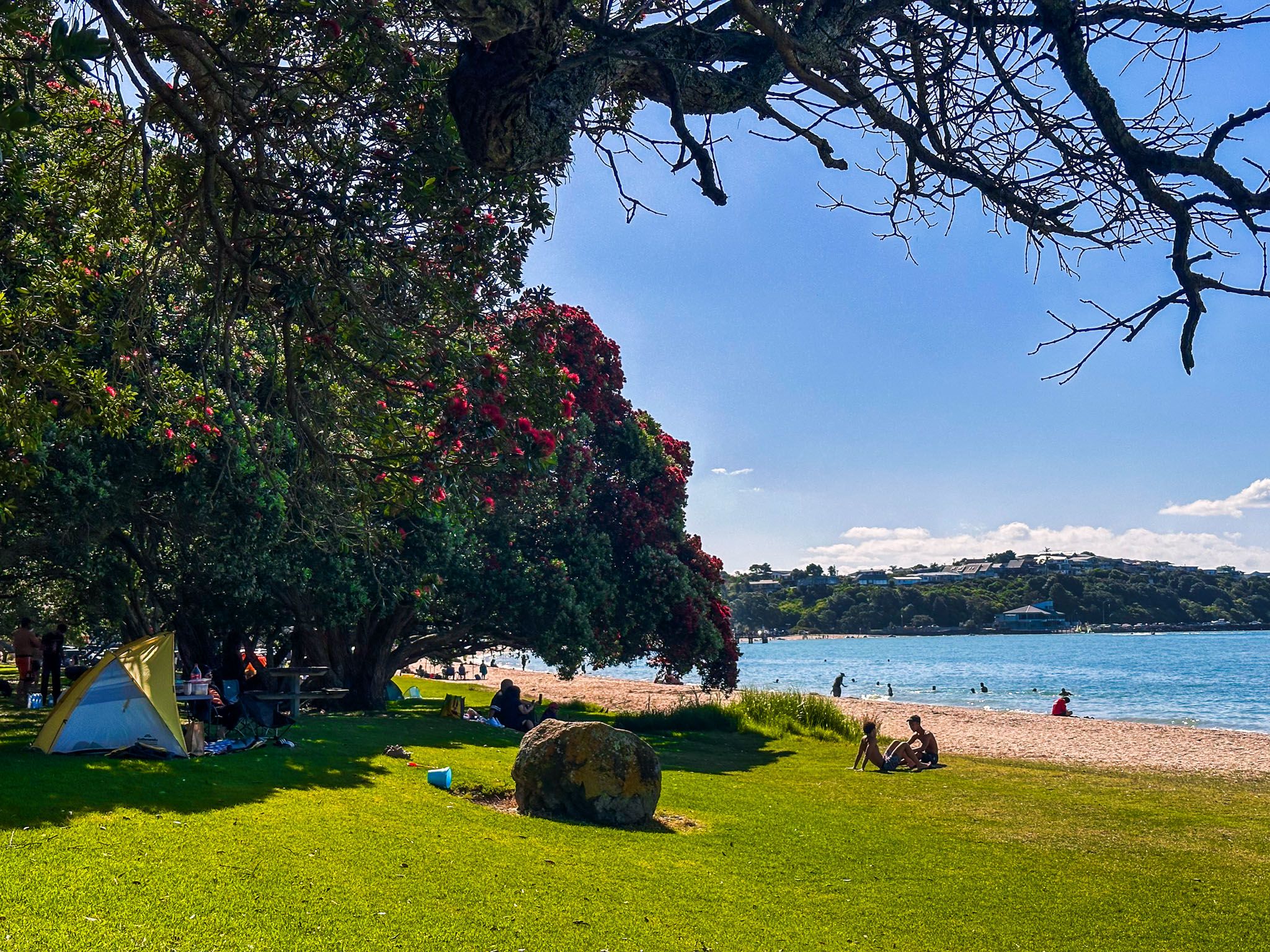
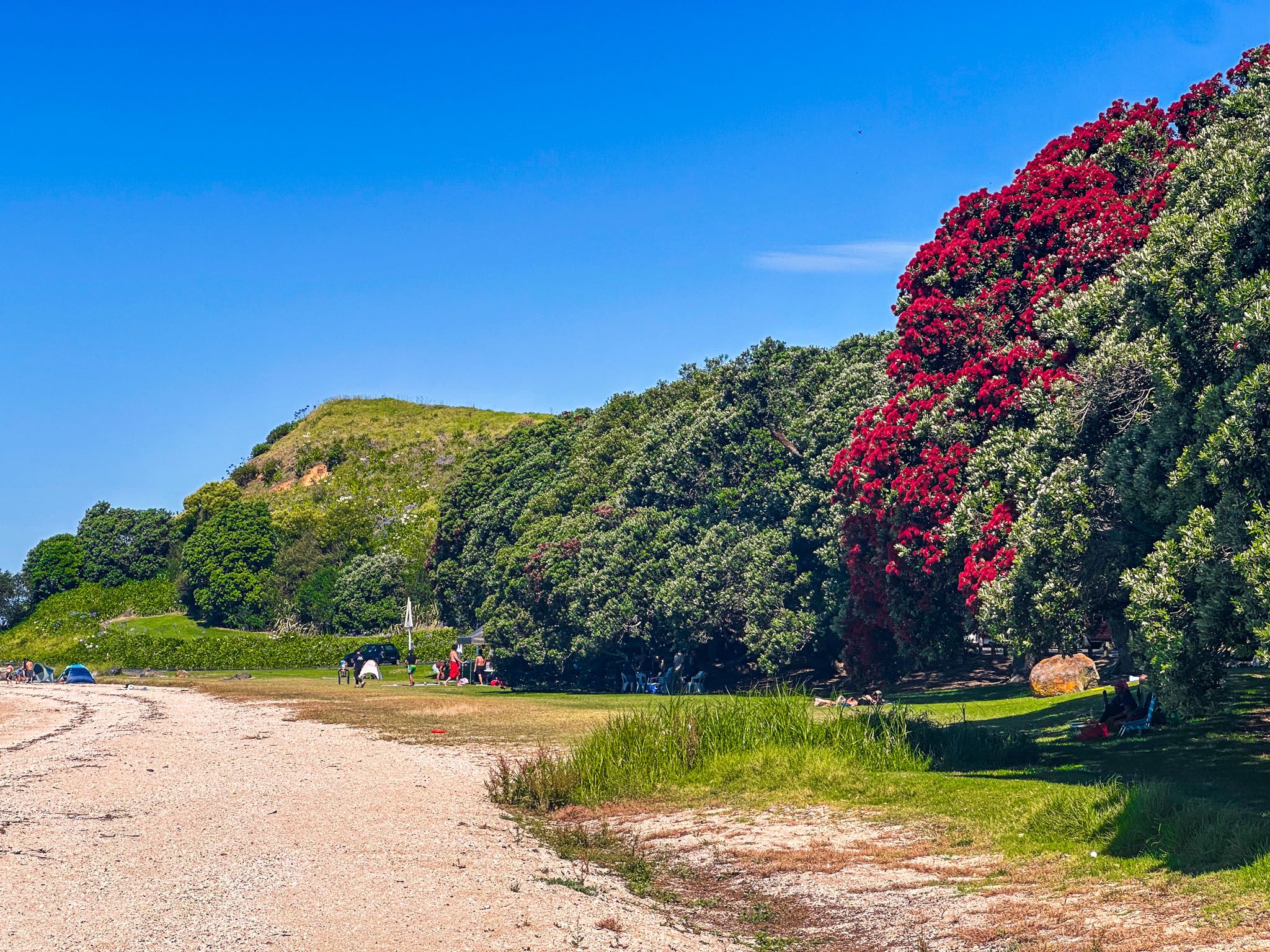
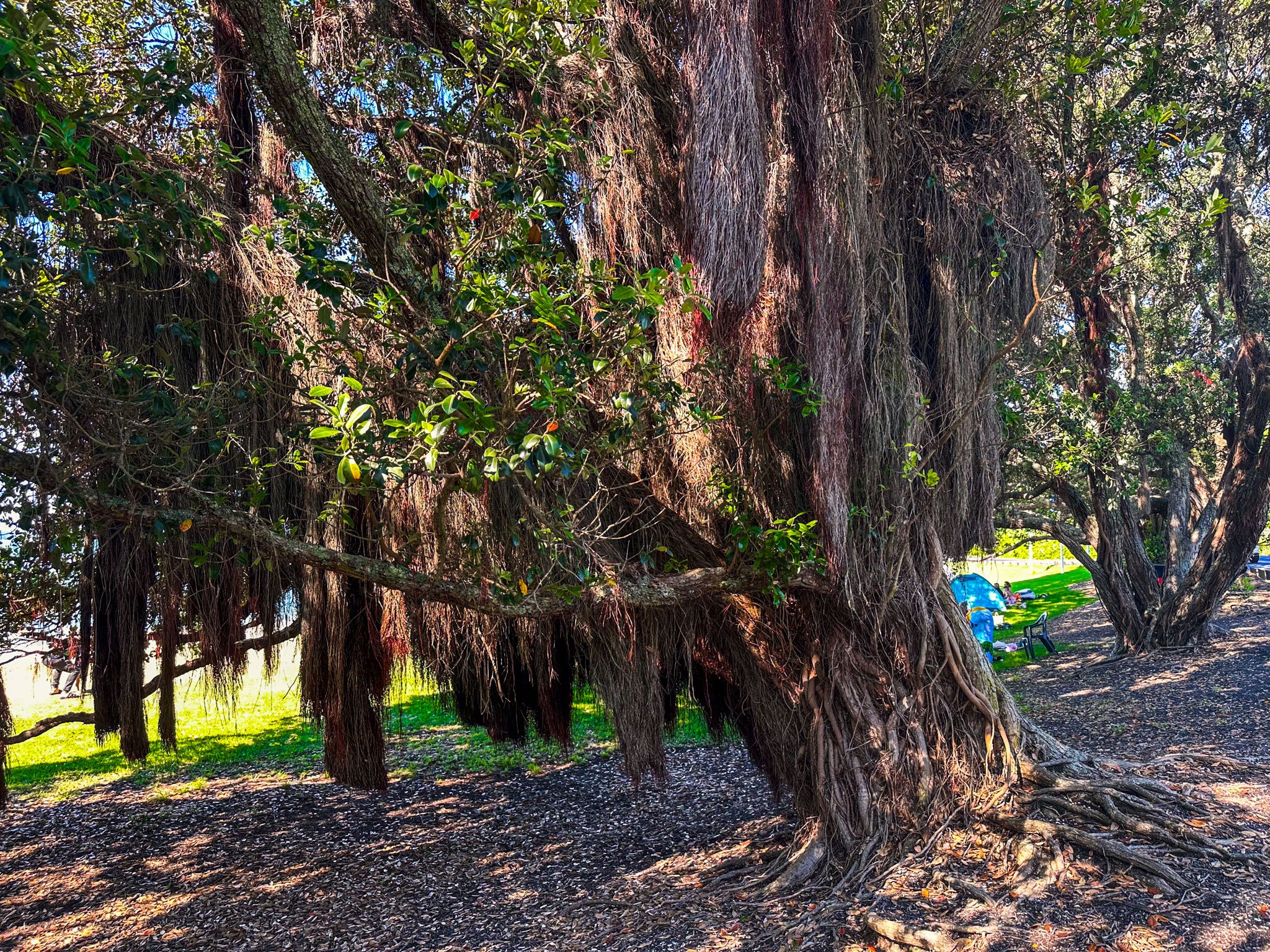
At the western end of the beach, you'll find boating facilities and the Beachlands to Maraetai Walkway, which connects to the main road and shared path. The eastern end features a grassy reserve and a cluster of mature pōhutukawa trees, offering shade on sunny days. The wharf is a popular spot for jumping into the water at high tide, but exercise caution to ensure the water is deep enough.
Historical and Cultural Significance
Maraetai holds significant historical and cultural importance as part of the traditional rohe of Ngāi Tai Ki Tāmaki. The Tainui waka arrived in the 1300s at Tūwakamana (Cockle Bay), and the name Maraetai, meaning "marae enclosed by the tides," was used by Māori to describe the coast from Tūwakamana to the Whakakaiwhara Peninsula. This name reflects the sheltered nature of the Tāmaki Strait, resembling a flat marae ātea.
By the 1500s, the area around Maraetai was home to approximately 200 people, centred around Papawhitu Pā. However, from the 1830s to the 1860s, Ngāi Tai Ki Tāmaki lost control of much of the land on the Pōhutukawa Coast. European settlers eventually purchased Maraetai, leading to the removal of kauri forests and the establishment of sheep farms.
Development and Modern Appeal
In the early 1900s, Maraetai gained popularity as a day-trip destination for picnics and holidays. The 1920s saw the subdivision and sale of Maraetai and neighbouring Ōmana Beach. Over time, development between Beachlands and Maraetai has transformed the area into a suburban extension of Auckland, though it remains a favoured spot for Aucklanders, especially during summer holidays and weekends.
Getting to Maraetai
From Downtown Auckland, drive southeast from Downtown Auckland on the southern motorway. Take the Redoubt Road exit and follow Redoubt Road east to Murphys Road, heading north to Flat Bush. Then, turn east onto Omiston Road, which becomes Sandstone Road, leading to Whitford Park Road and Whitford. From Whitford, continue east on Whitford-Maraetai Road, which becomes Maraetai Drive as you enter the town. Parking is available along the road next to the beach. This drive is approximately 40 km and takes about 42 minutes.
Once in the town, you can use Maraetai Beach Path, which runs parallel to the beach. The path provides easy access to the town's attractions and to nearby Waiomanu Beach and Magazine Bay.
Other nearby places to visit include Ōmana Regional Park, Umupuia Beach and Duder Regional Park.