Hokianga Harbour: A Historic Gem on Northland's West Coast
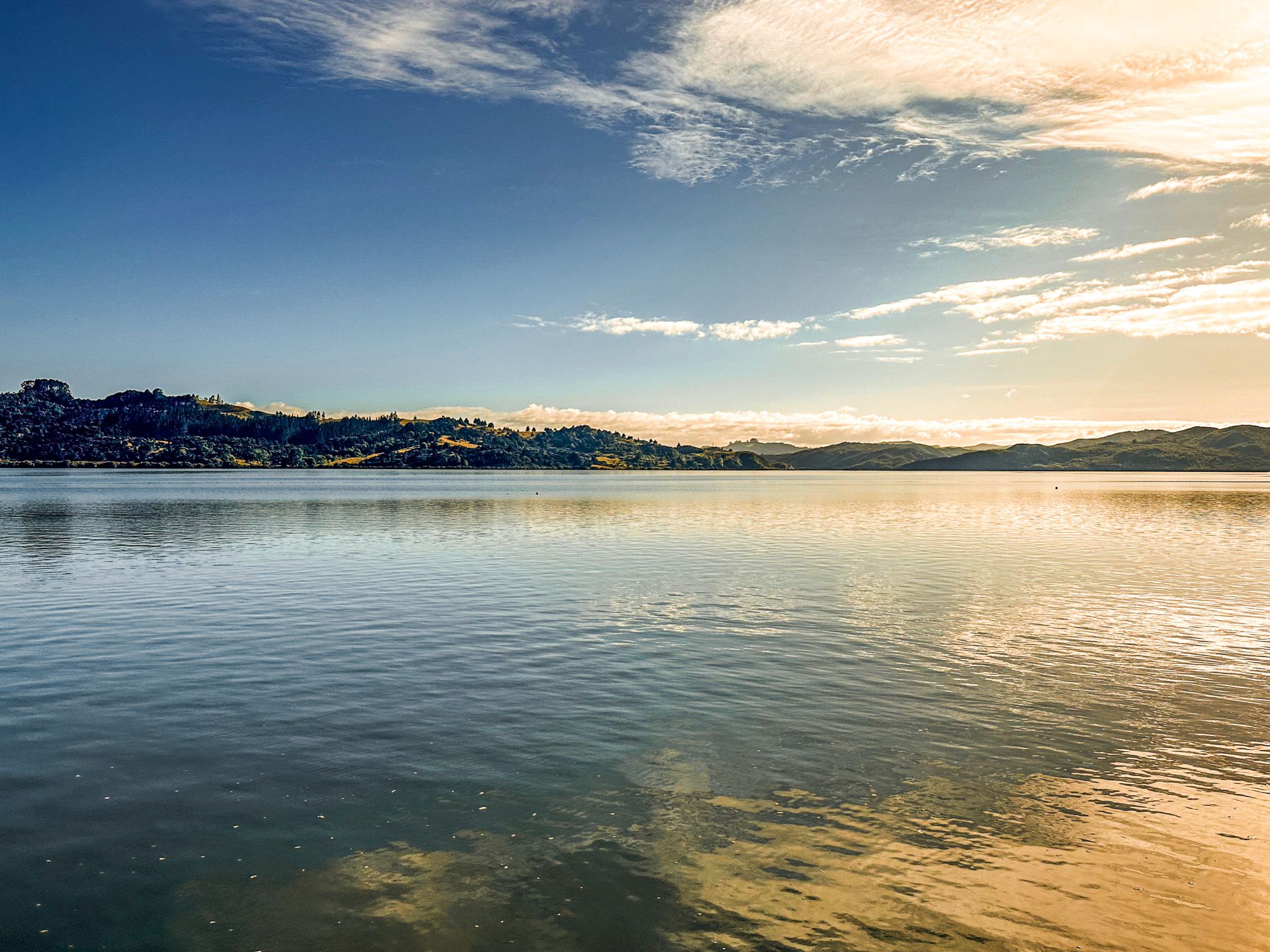
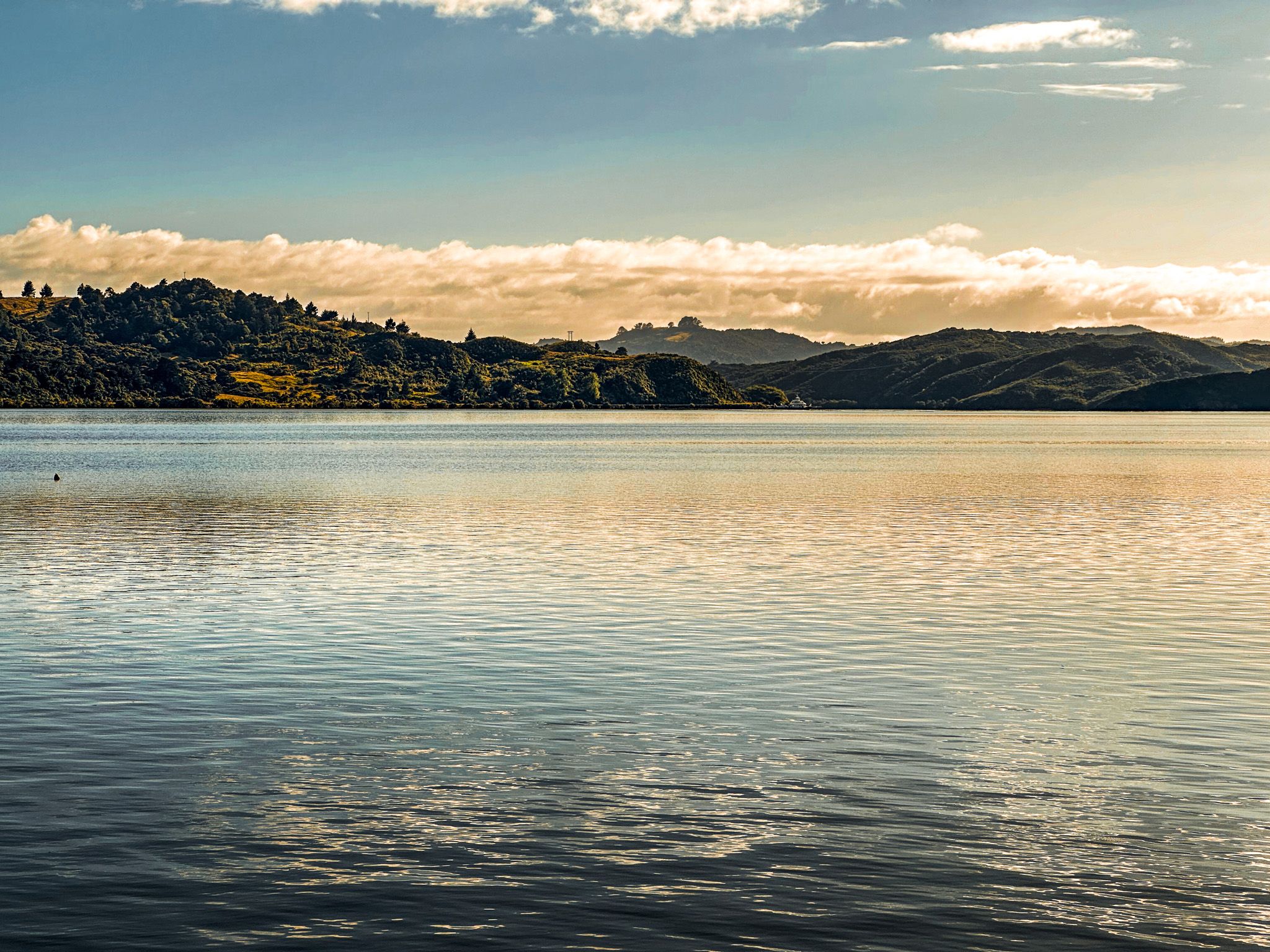
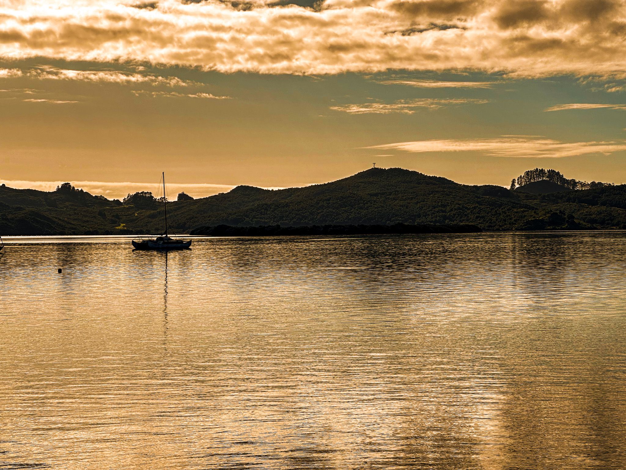
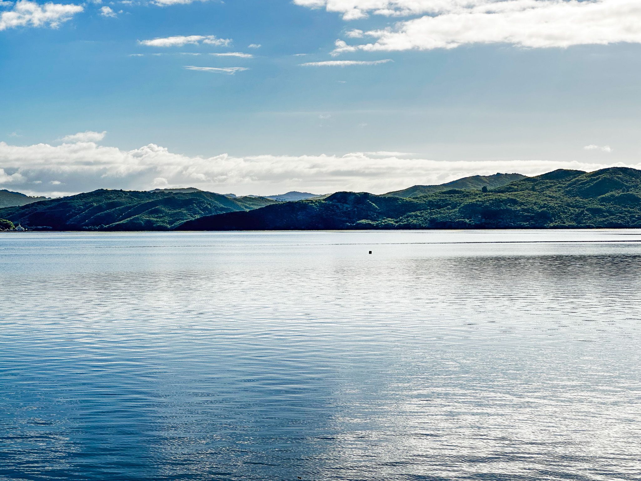
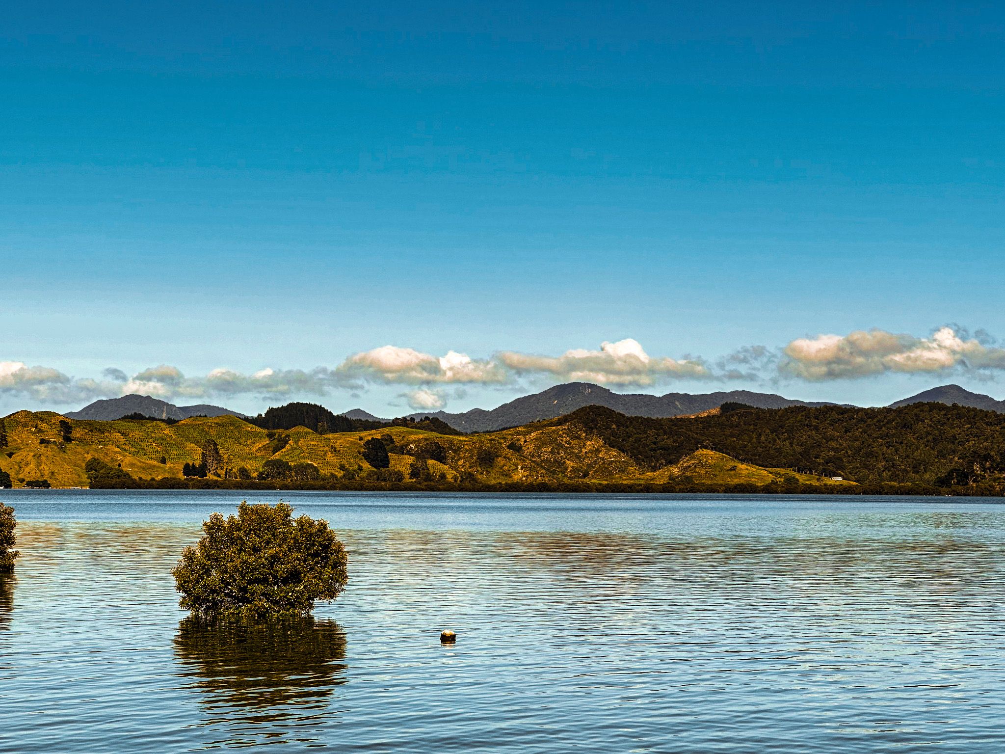
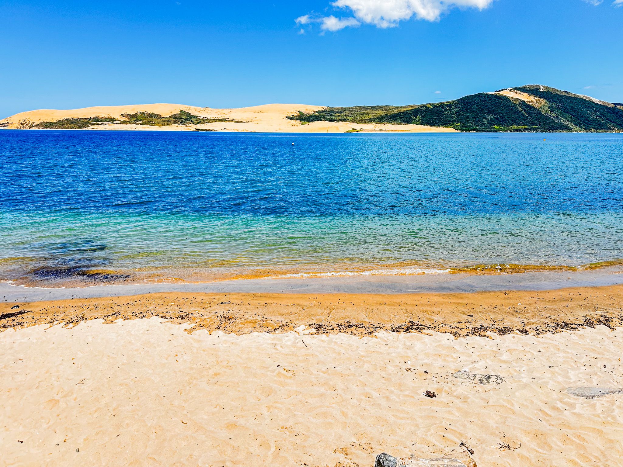
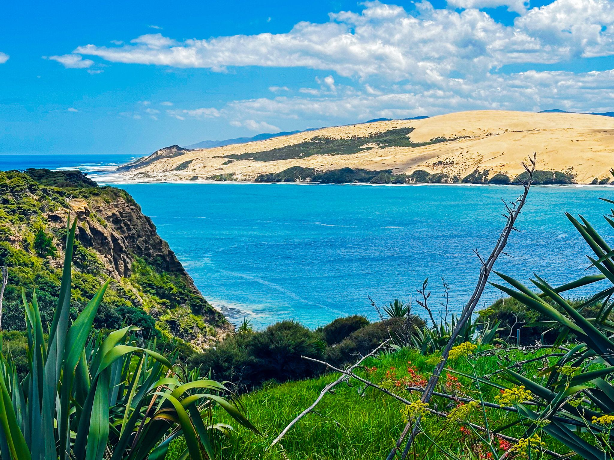
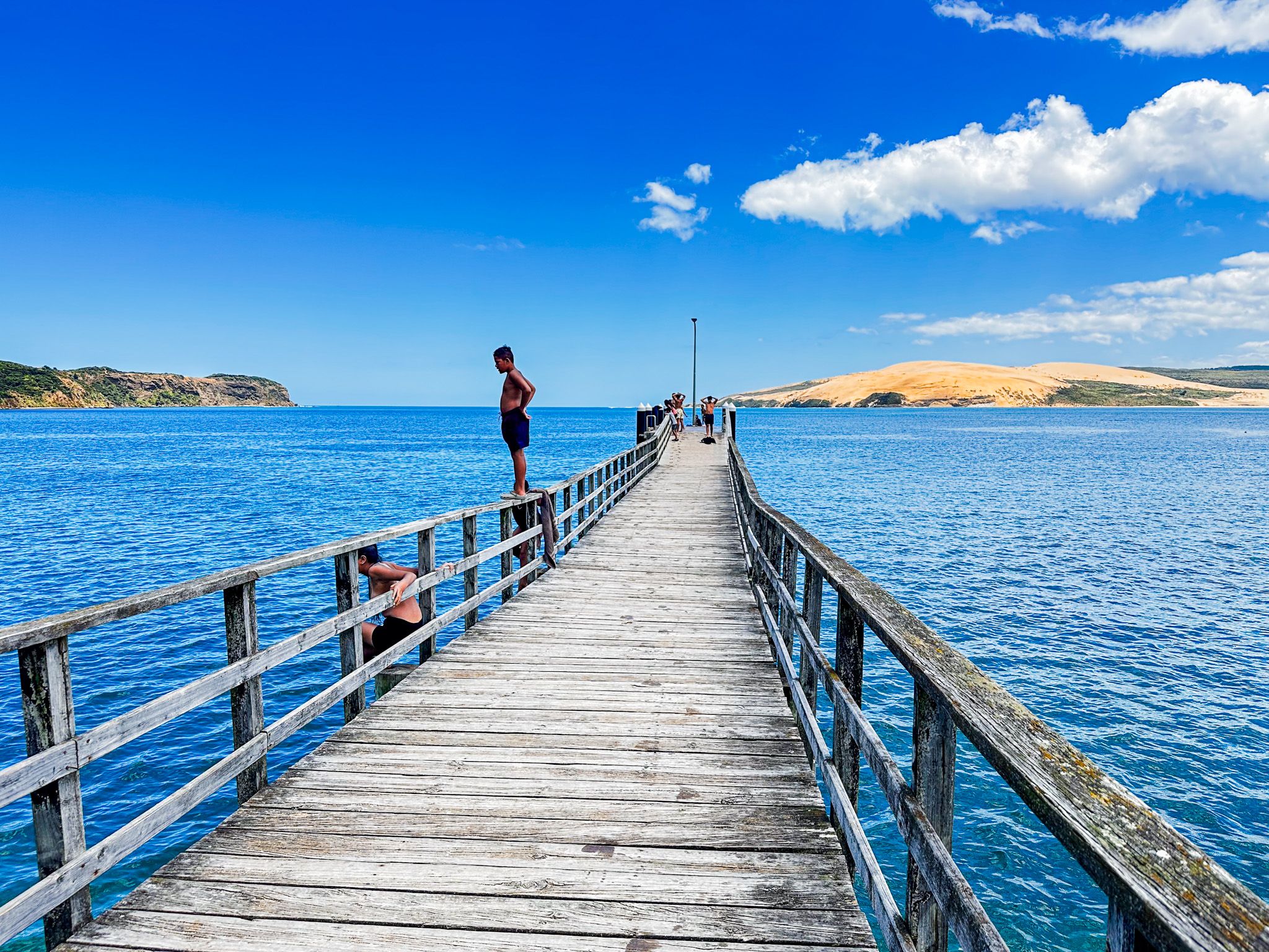
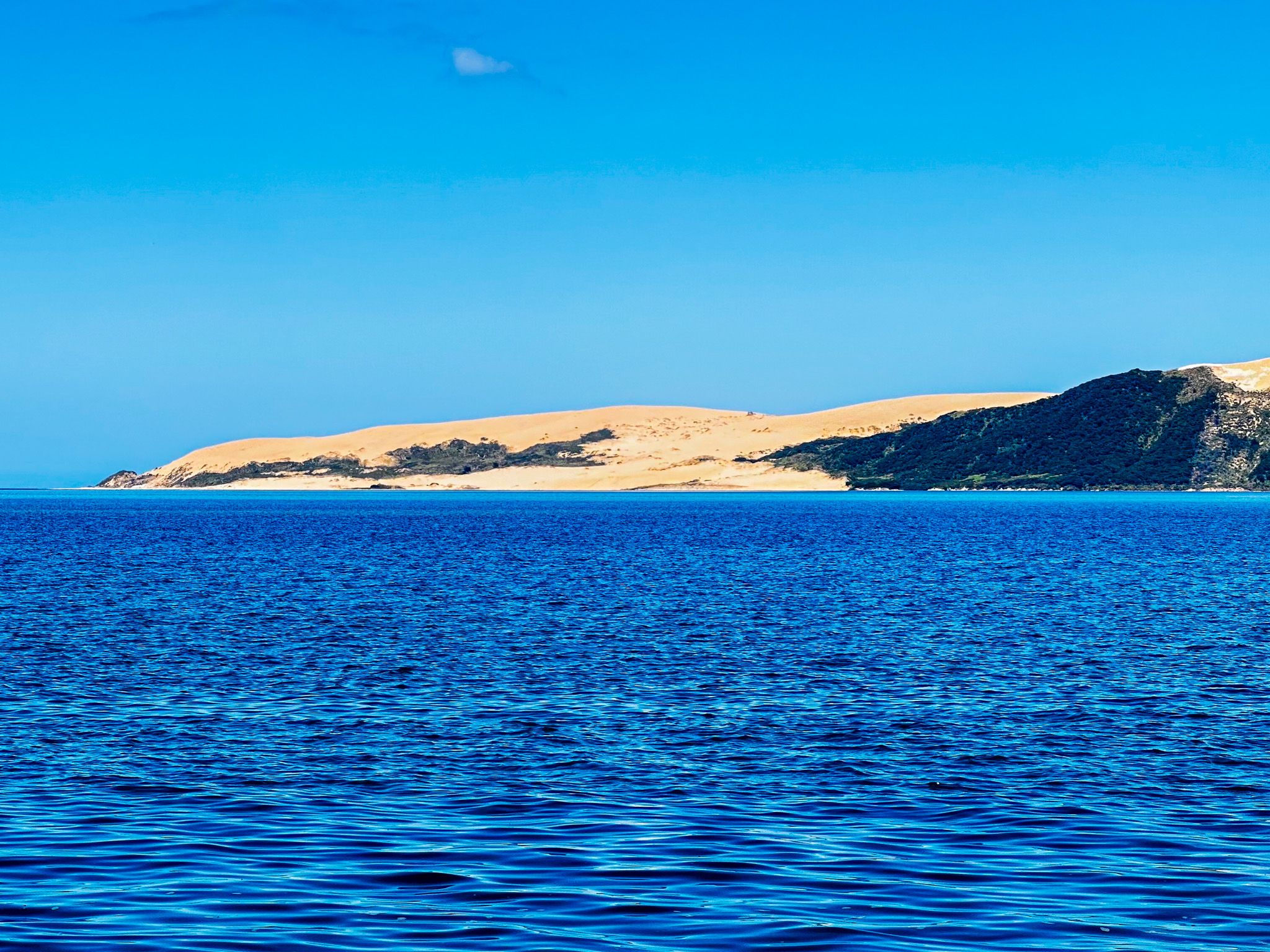
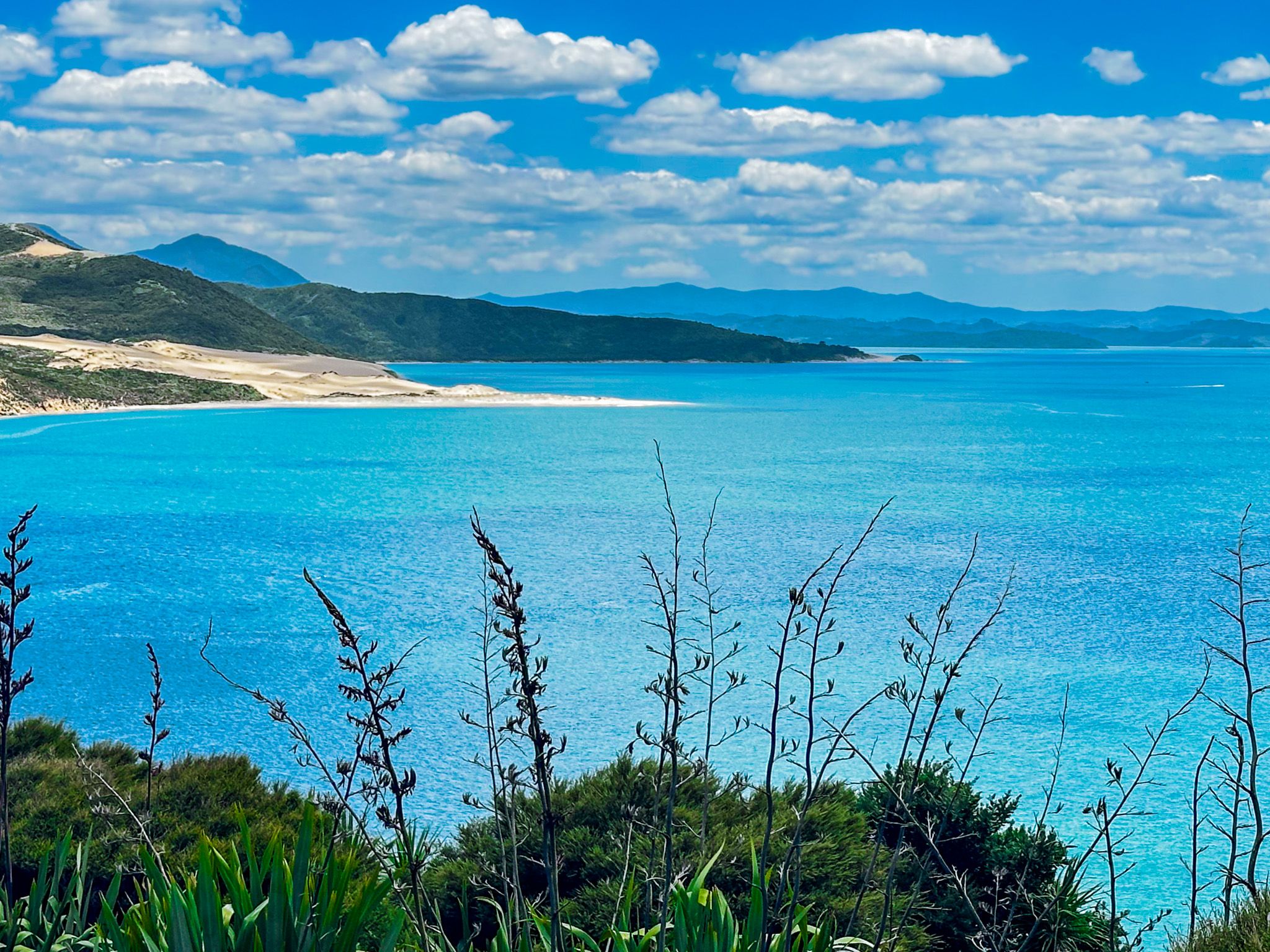
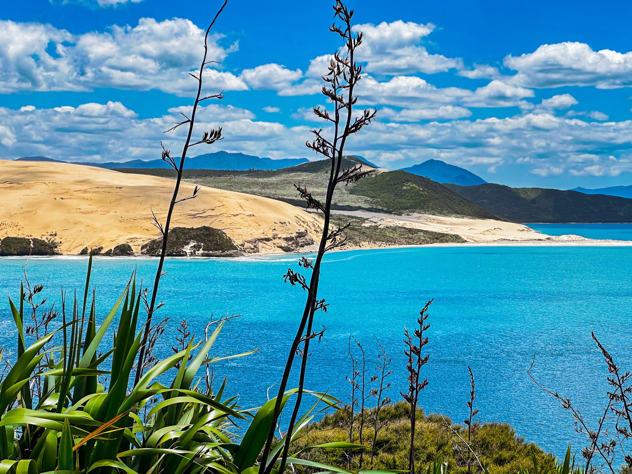
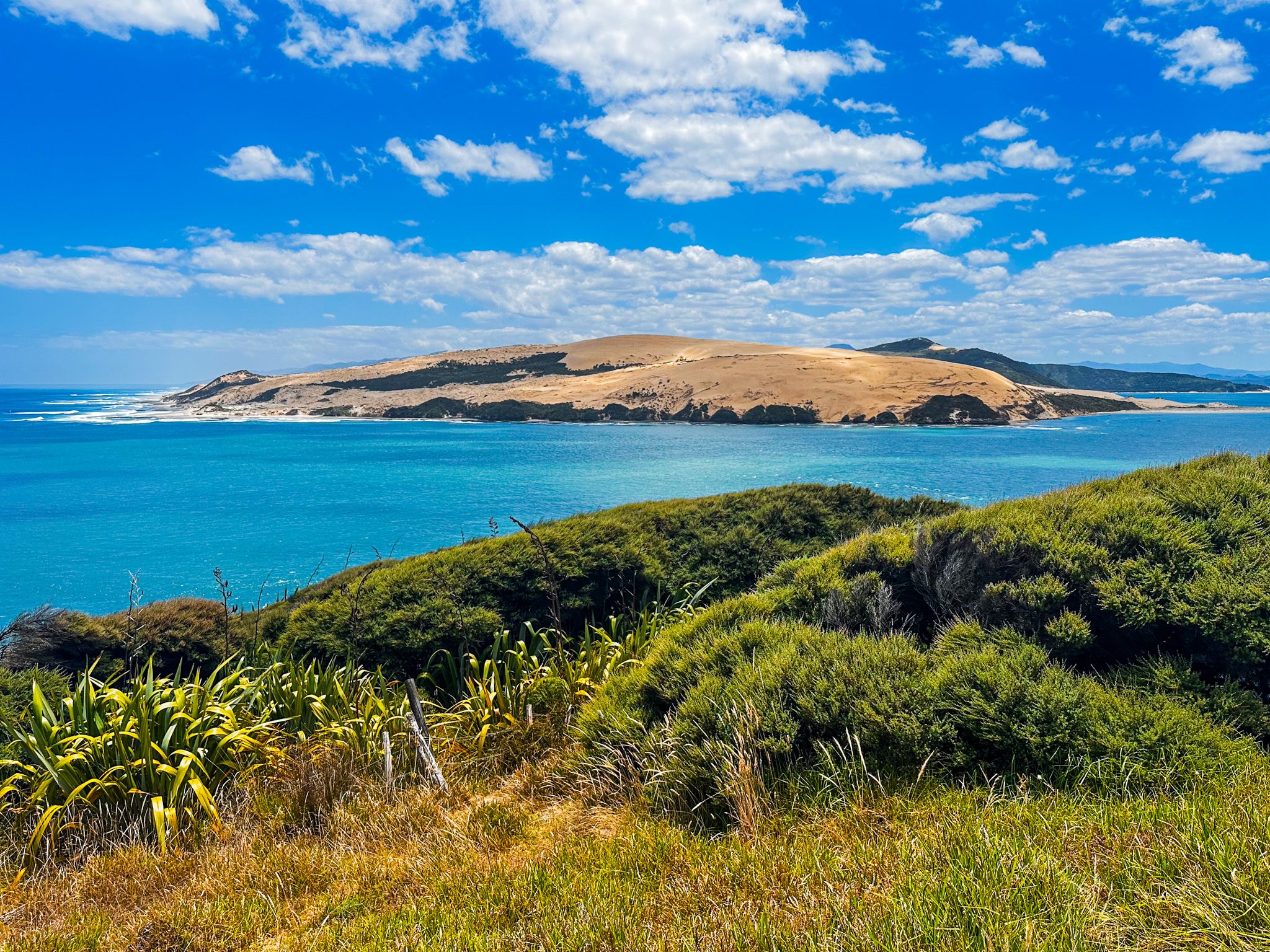
Hokianga Harbour, located on the west coast of Northland, west of the Bay of Islands, is a place rich in history and natural beauty. Formed by drowned river valleys as sea levels rose around 12,000 years ago, the harbour is fed by eleven rivers and surrounded by rugged hills. The area is notable for its stunning landscapes, particularly around the harbour entrance, where 150-metre-high dunes rise on the north side, and a scenic coastal walk awaits at Arai te Uru / South Head on the south side.
Charming Towns and Scenic Landscapes
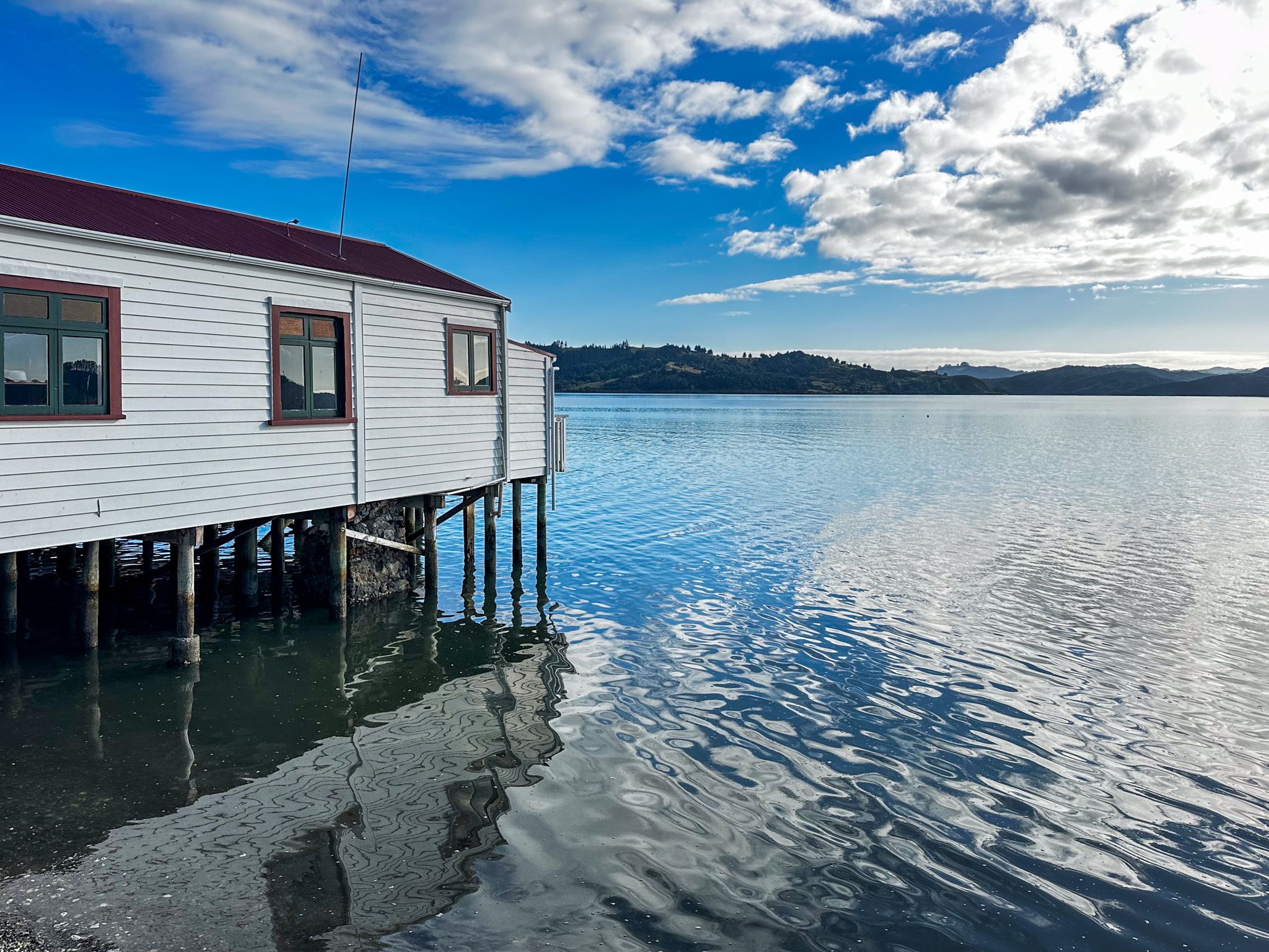
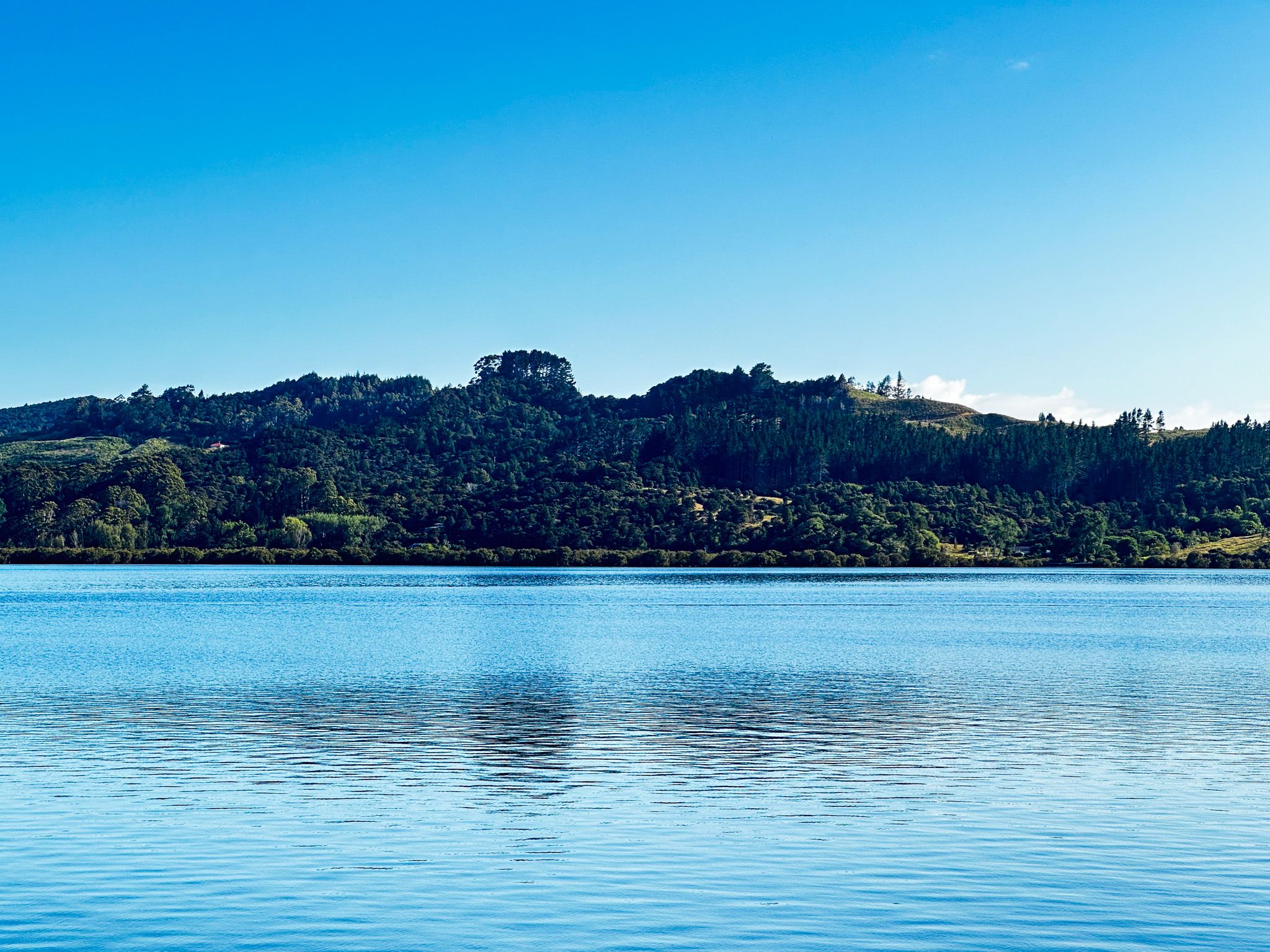
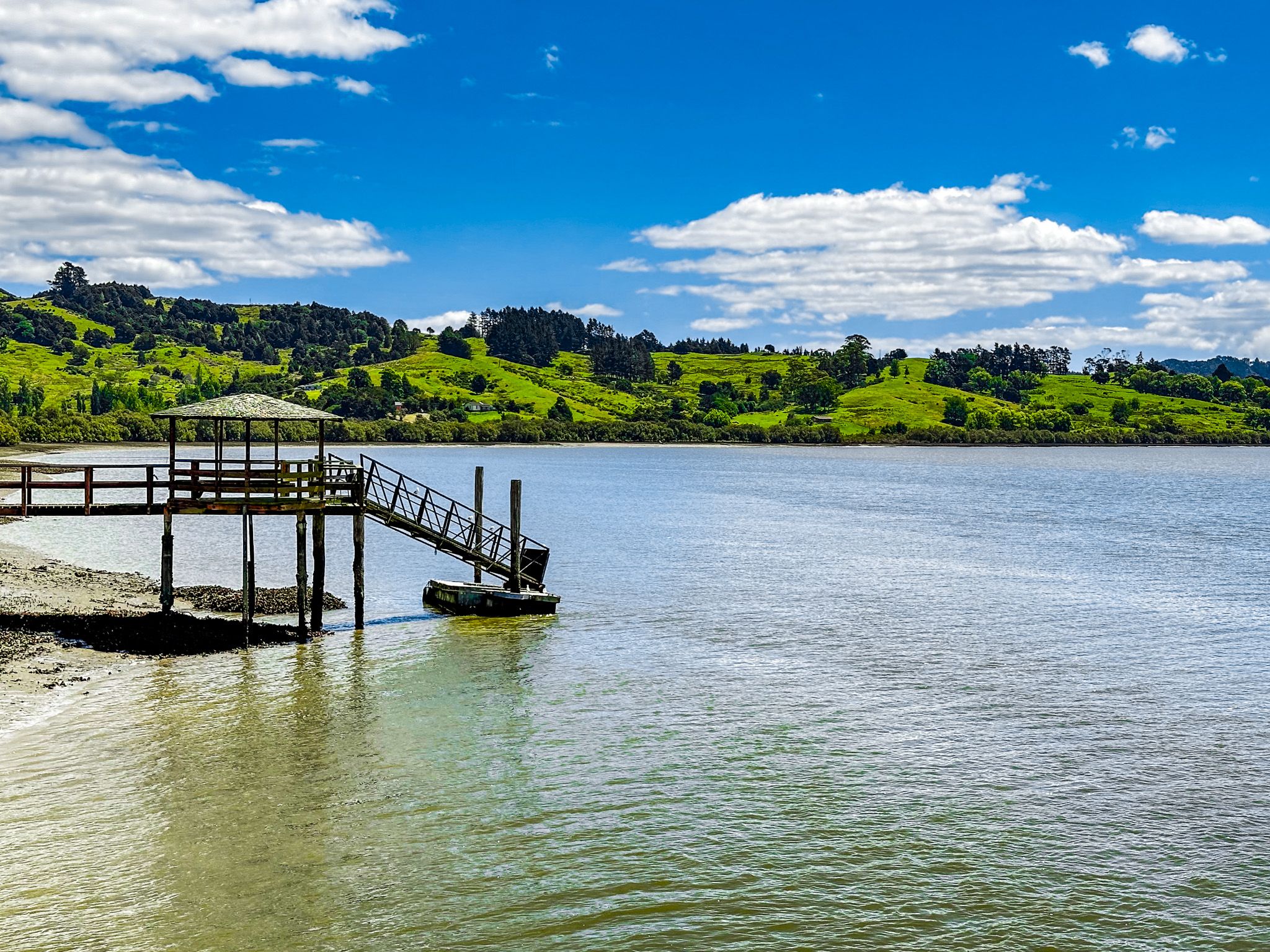
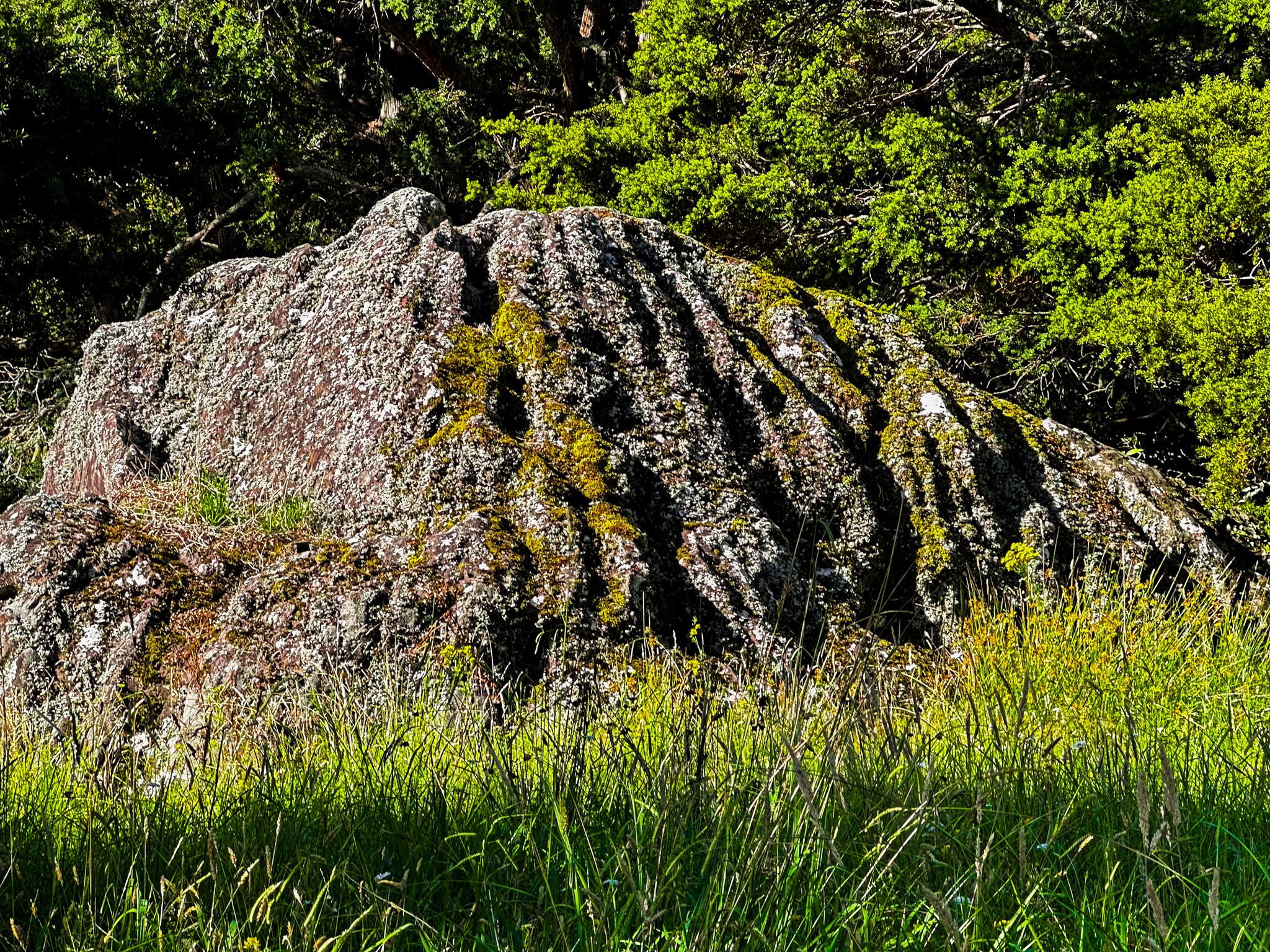
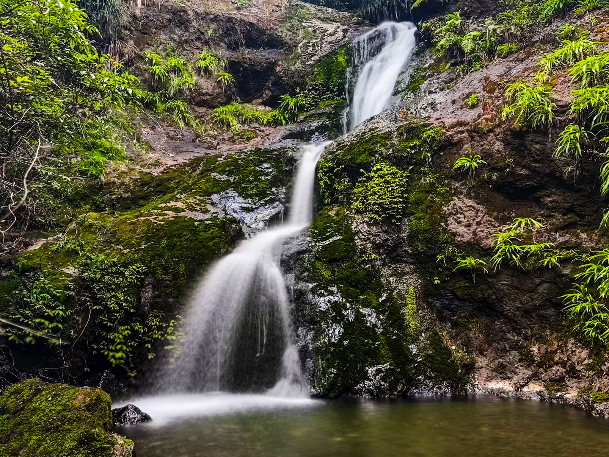
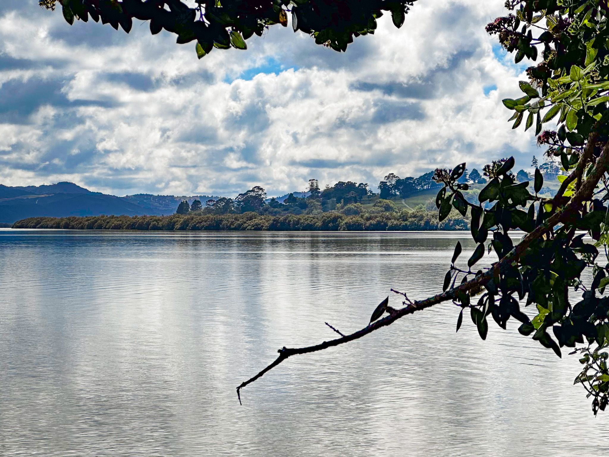
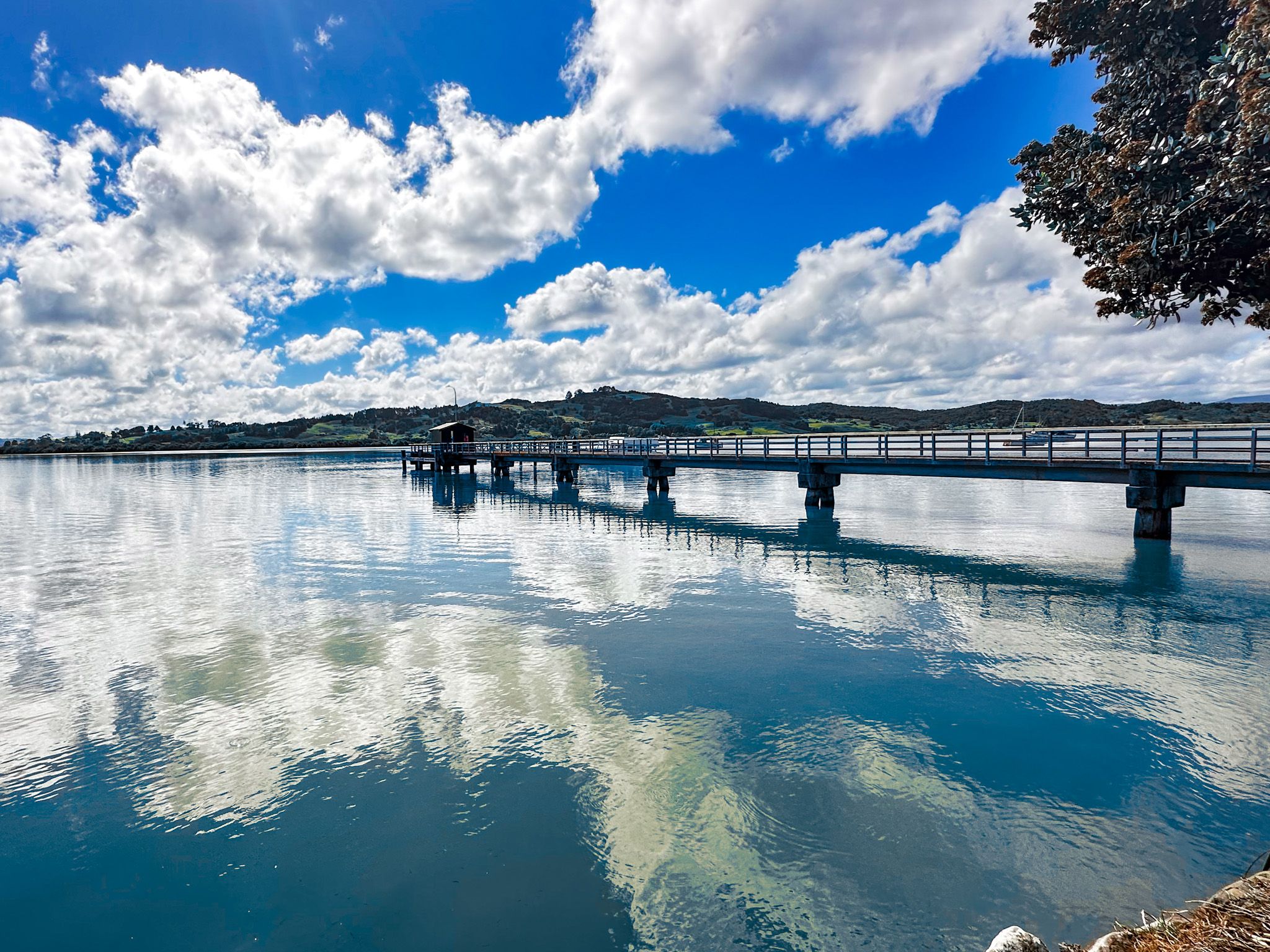
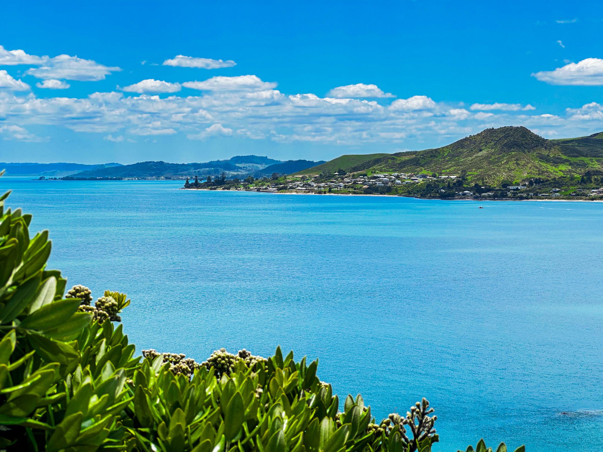
Several small towns encircle the harbour, including Ōmāpere, Opononi, Rawene, and Kohukohu. These towns offer a glimpse into the region's past and present. The picturesque surroundings, especially near the harbour entrance, provide a perfect backdrop for exploring the area's natural and cultural attractions. The surrounding hills, once logged and farmed, are now gradually returning to forest.
A Place of Early Māori and European History
Hokianga Harbour holds a significant place in the early history of both Māori and European settlement in New Zealand. It is believed that Kupe, the legendary Polynesian navigator, and his wife Kuramārōtini were among the first to discover Aotearoa between 1000 and 1300 CE. Their first landing was at Hokianga Harbour, where Kuramārōtini famously exclaimed, “He ao! He ao! He ao tea roa!” or, “A cloud! A cloud! A long white cloud!”
According to Māori mythology, a taniwha named Araiteuru accompanied Kupe and gave birth to eleven sons who created the harbour's trenches. Araiteuru is said to reside at the southern head of the harbour, with her companion Niua at the northern head.
Kupe and Kuramārōtini explored the coast and are thought to have stayed in Aotearoa for about 20 years before returning to Hawaiki. The harbour's full name, Te Hokianga-nui-a-Kupe, means "the place of Kupe's great return". Other names, such as Te Puna o Te Ao Marama and Te Kohanga o Te Tai Tokerau, underscore the region's importance to Māori.
The Arrival of Europeans and the Kauri Trade
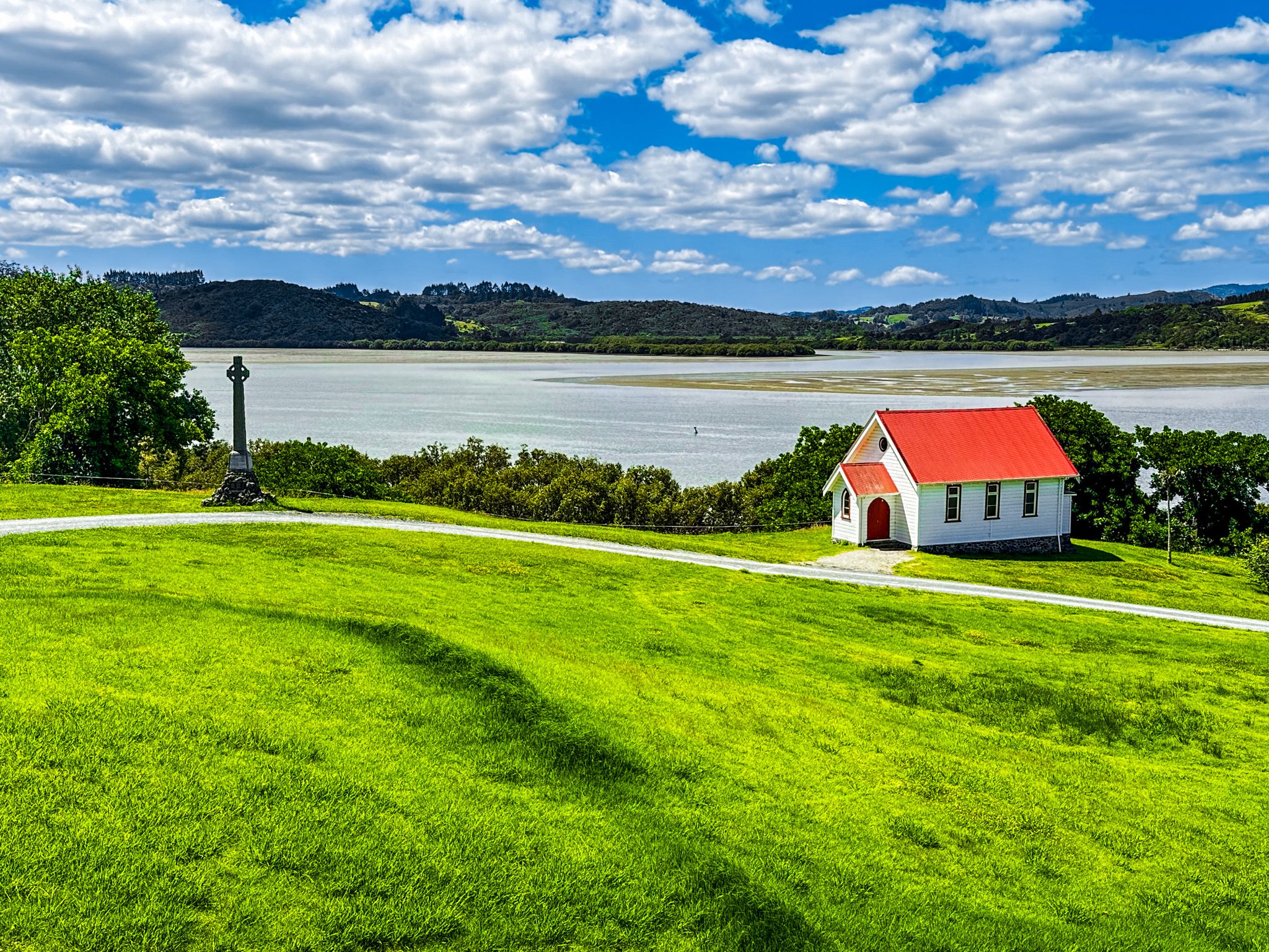
The first Europeans to arrive were missionaries. In 1819, Samuel Marsden, with the help of local rangatira Te Manene, measured the harbour entrance. By 1820, Captain John Kent had established relationships with local Ngāpuhi. The Mangungu Mission was founded in 1826, and competition for converts increased with the arrival of French Catholic bishop Jean Baptiste Pompallier in 1838. The region's small churches and graveyards are a testament to this era.
The surrounding kauri forests attracted European interest, with the first cargo of kauri timber leaving the harbour in 1822. This trade continued for generations until the forests were largely depleted. Towns like Horeke, Rawene, and Kohukohu emerged, driven by the timber and gum trade. As the forests disappeared, dairy farming took over but declined in the 1960s, leaving the region economically depressed for a time.
Tourism and Historic Sites
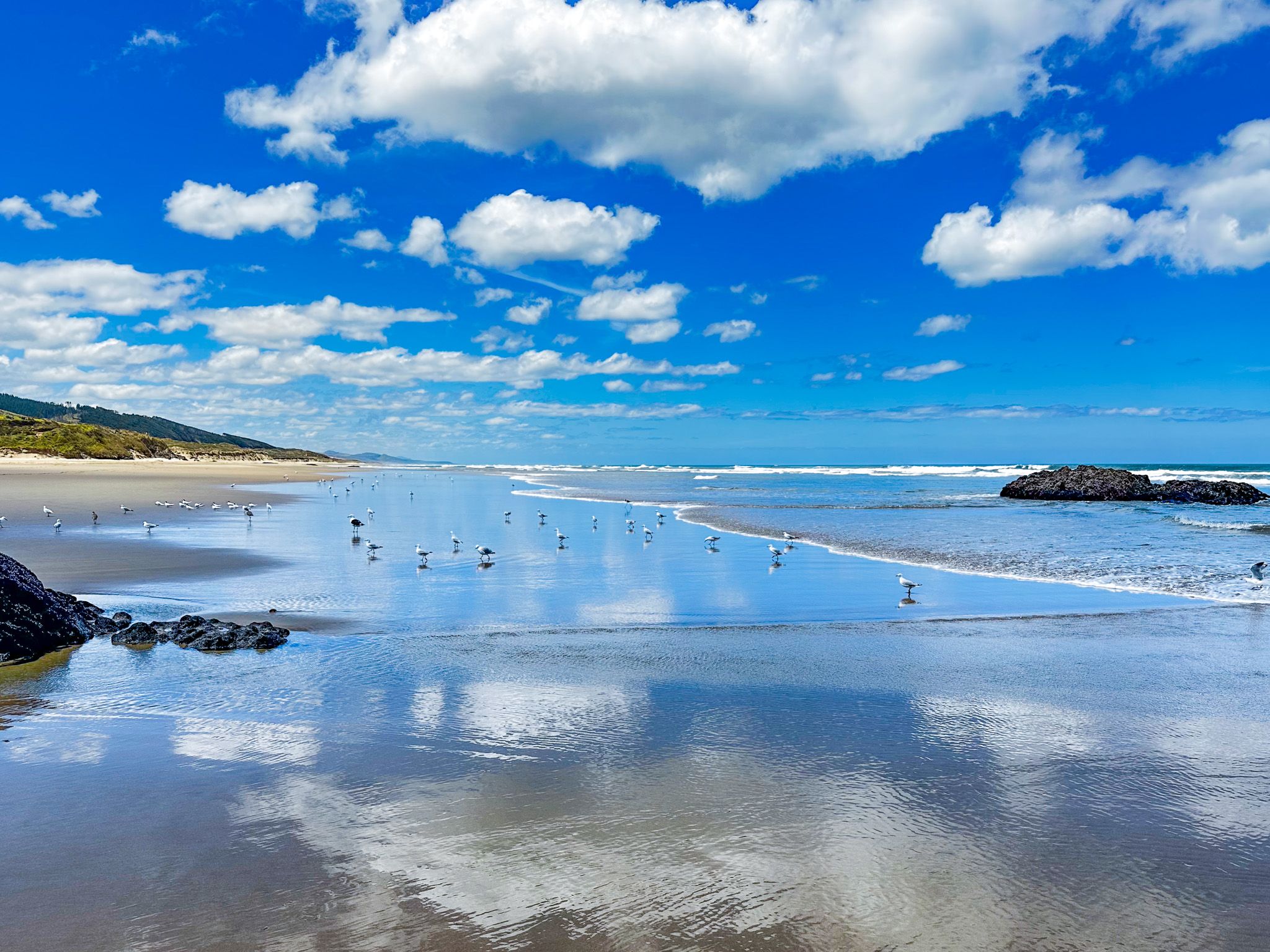
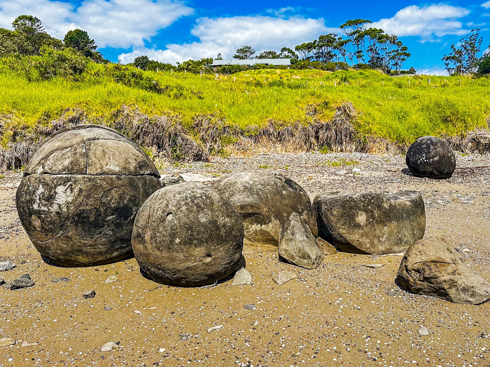
In recent years, tourism has revitalised the Hokianga region. The Twin Coast Cycle Trail links the Bay of Islands with Hokianga, and the historic towns of Rawene and Kohukohu, connected by the Rawene ferry, are popular destinations. Visitors can explore key historic sites, ancient volcanic rock formations at Wairere Boulders and Wairere Heights, the Koutu Boulders, and beautiful west coast beaches like Mitimiti and Waimamaku (Kaikai Beach).
The Hokianga's Role in the Treaty of Waitangi
The Hokianga played a pivotal role in the events leading to the Treaty of Waitangi. In 1837, Charles de Thierry arrived with settlers, claiming land he said he had purchased in 1822. His venture failed, but it highlighted French interests in the region.
In 1840, Governor Hobson travelled to Māngungu, where 3,000 people, mainly Ngāpuhi, gathered. Sixty rangatira signed the treaty on 12 February, securing the support of New Zealand's largest iwi.
How to Get There
From Auckland, take State Highway 1 north to Brynderwyn, then continue on State Highway 12 towards Dargaville and up the Kauri Coast to the Hokianga region. The drive takes almost 4 hours and is 261 km.