Into the Ruahine on the Oroua River
The track to the Iron Gate Gorge leads from a car park off Table Flat Road, near Āpiti in northern Manawatū. It takes you into Ruahine Forest Park and along the Oroua River to the narrow chasm of Iron Gate Gorge. The gorge is where the Oroua, after gathering in the remote high-country headwaters of the Ruahine Range, squeezes between sheer rock walls at the edge of the forest park before emerging into the valley farmland. Early settlers named it for the sense of a gate guarding entry to the backcountry beyond.
Historical Forestry Road
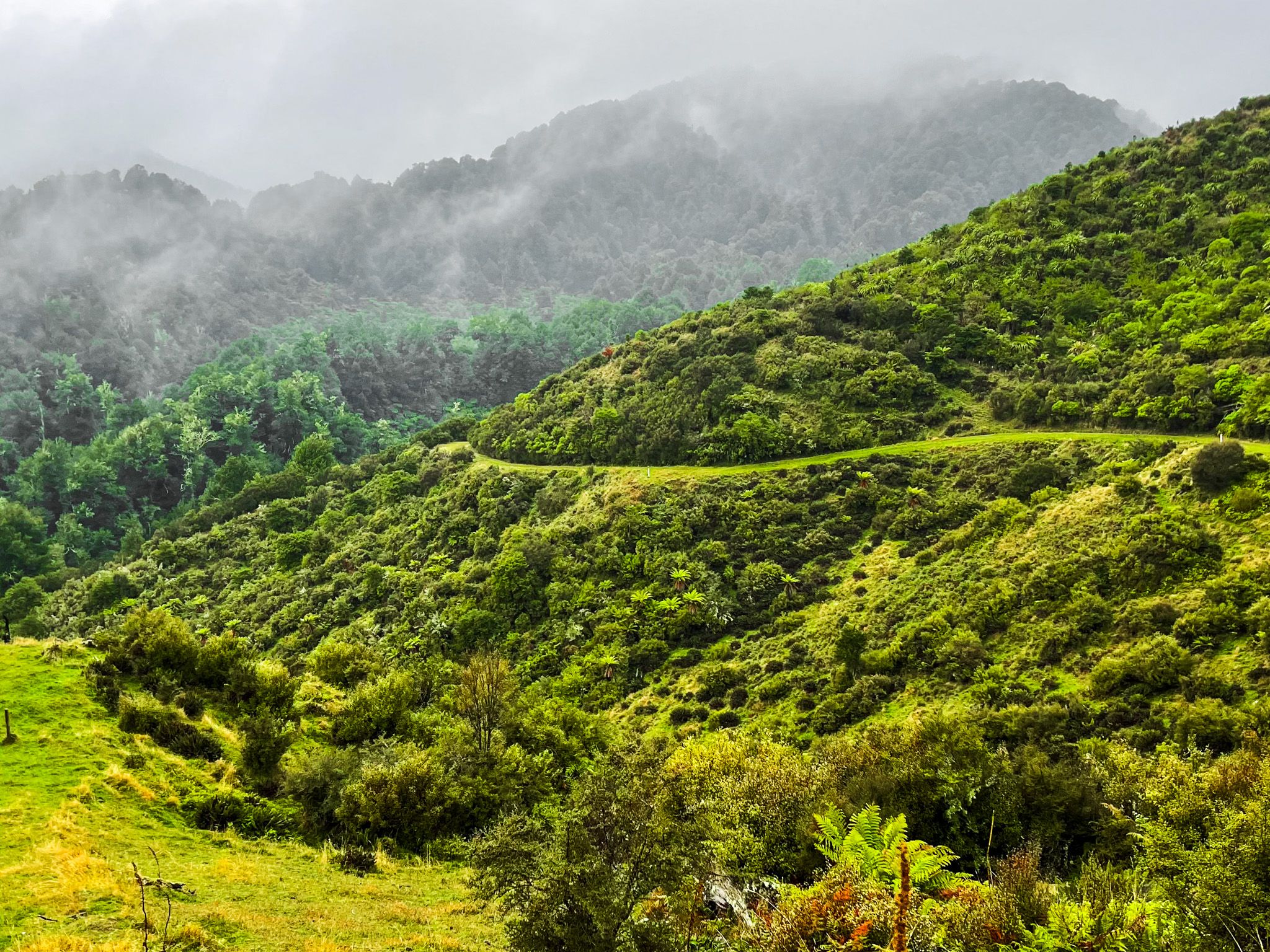
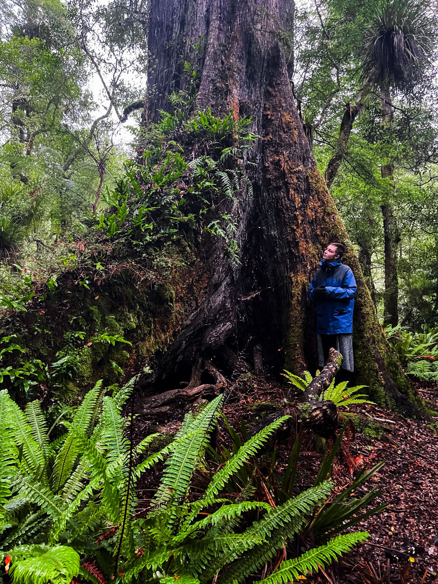
The track from the Table Flat Road carpark initially follows a well-formed former logging road through very steep and rugged farmland. There are heritage sites that tell the story of logging along the way. After dropping about 100 metres, you enter the Ruahine Forest Park.
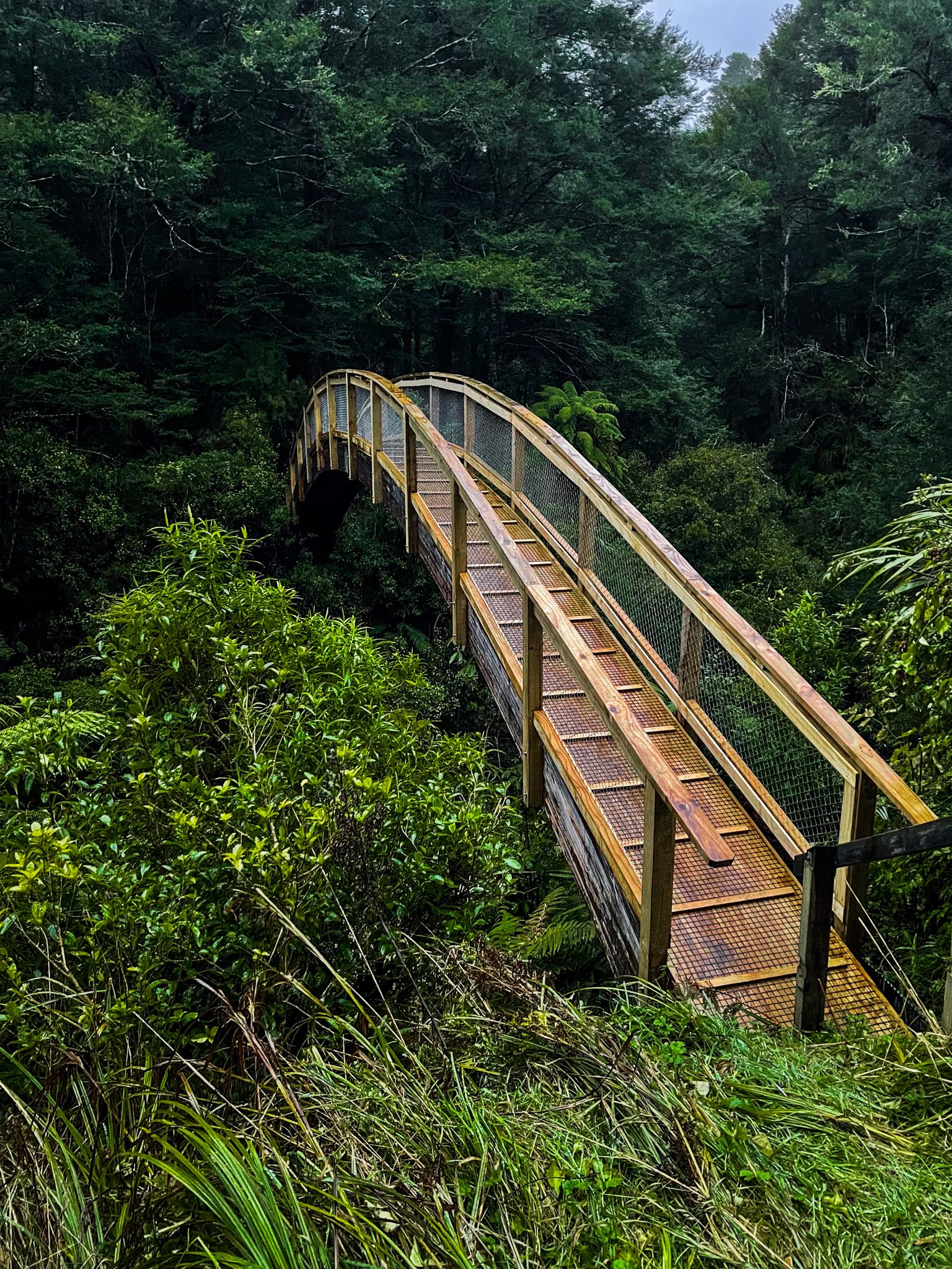
Shortly after entering the park, the track crosses Umutoi Creek on an unusual and attractive arched wooden bridge, suspended high above a narrow gorge. Shortly after the bridge, the track branches in two directions: left for the Stoat Trap Track and right for the Alice Nash Memorial Heritage Lodge.
Via the Stoat Trap Track
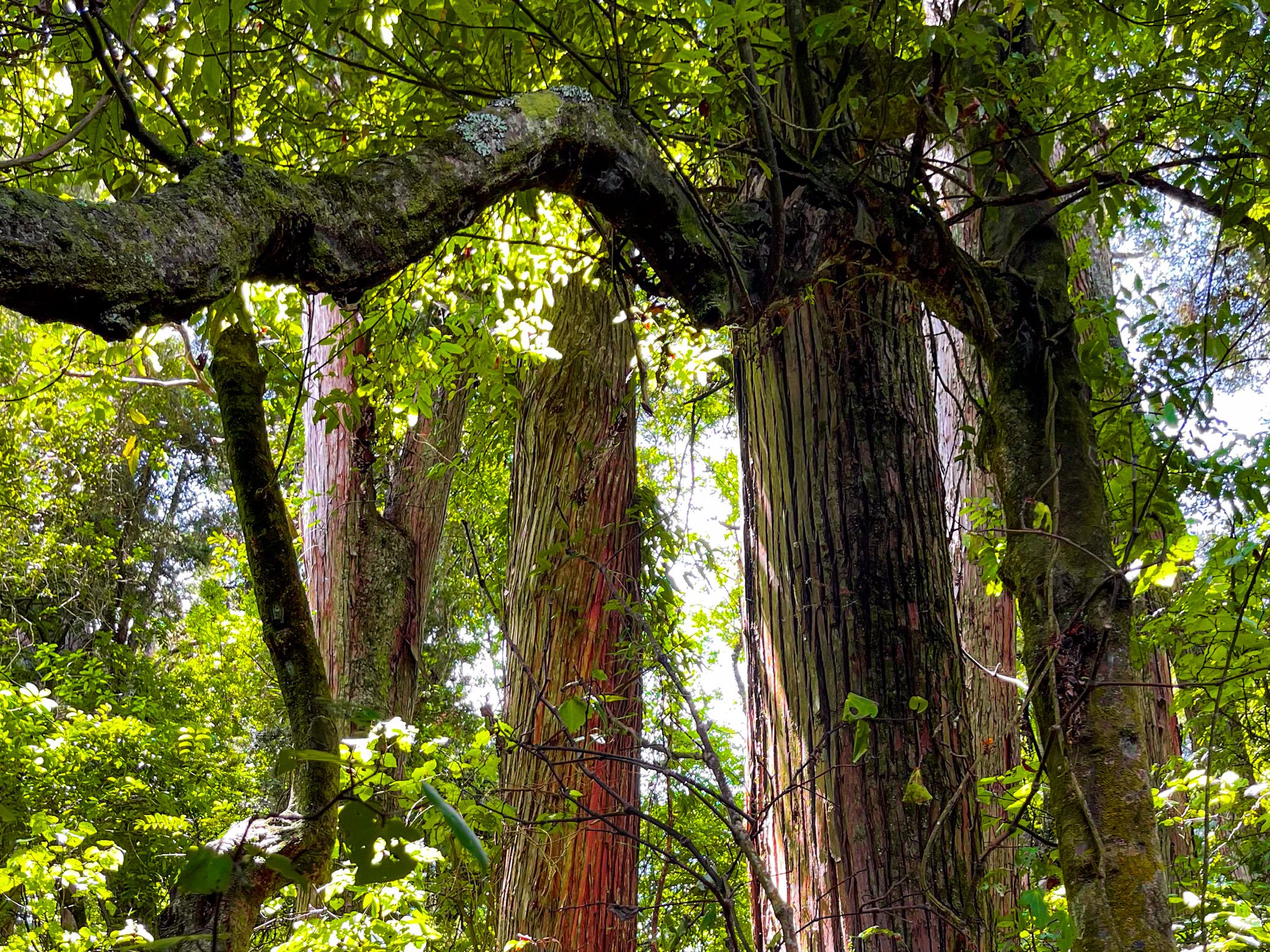
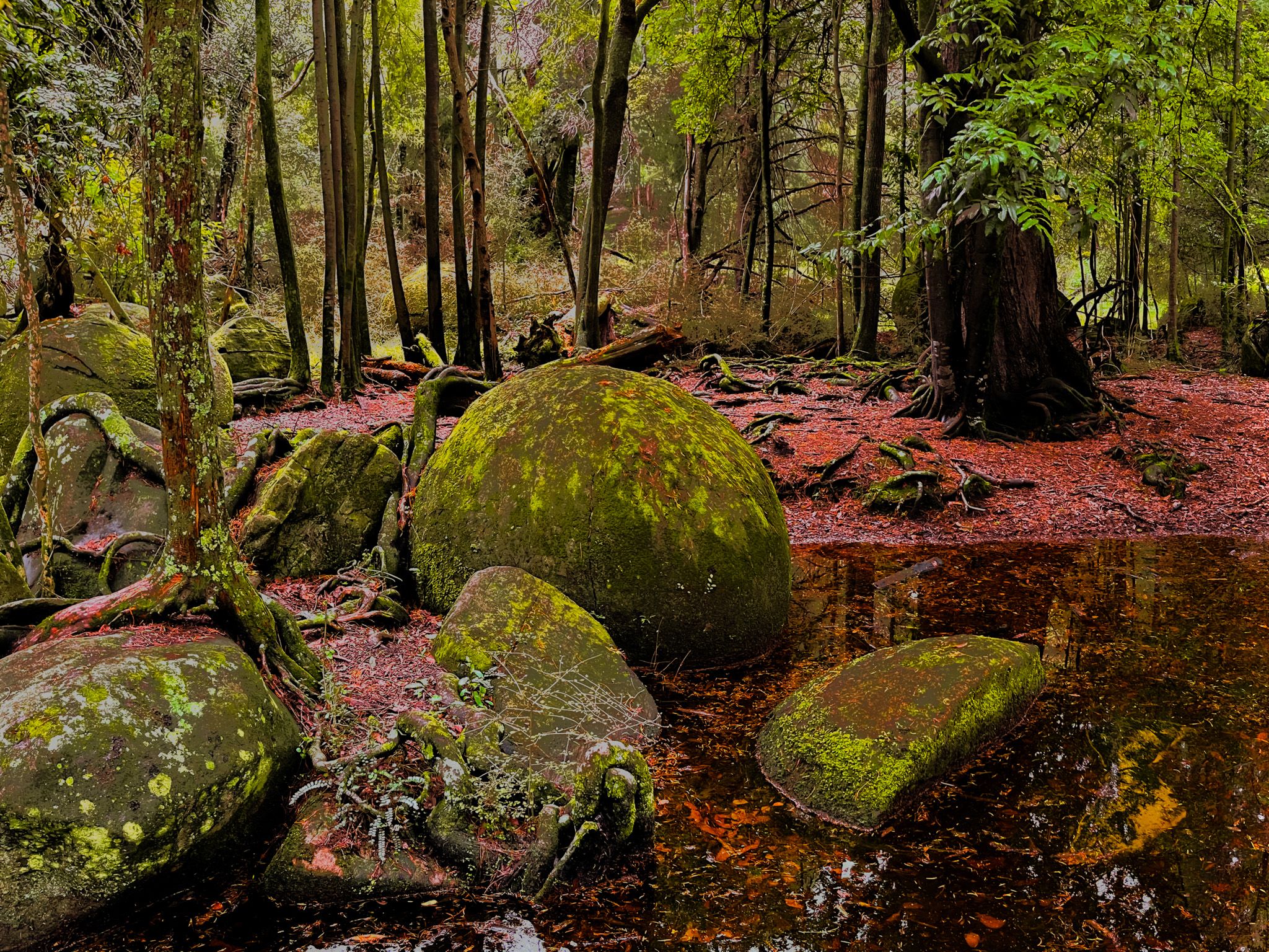
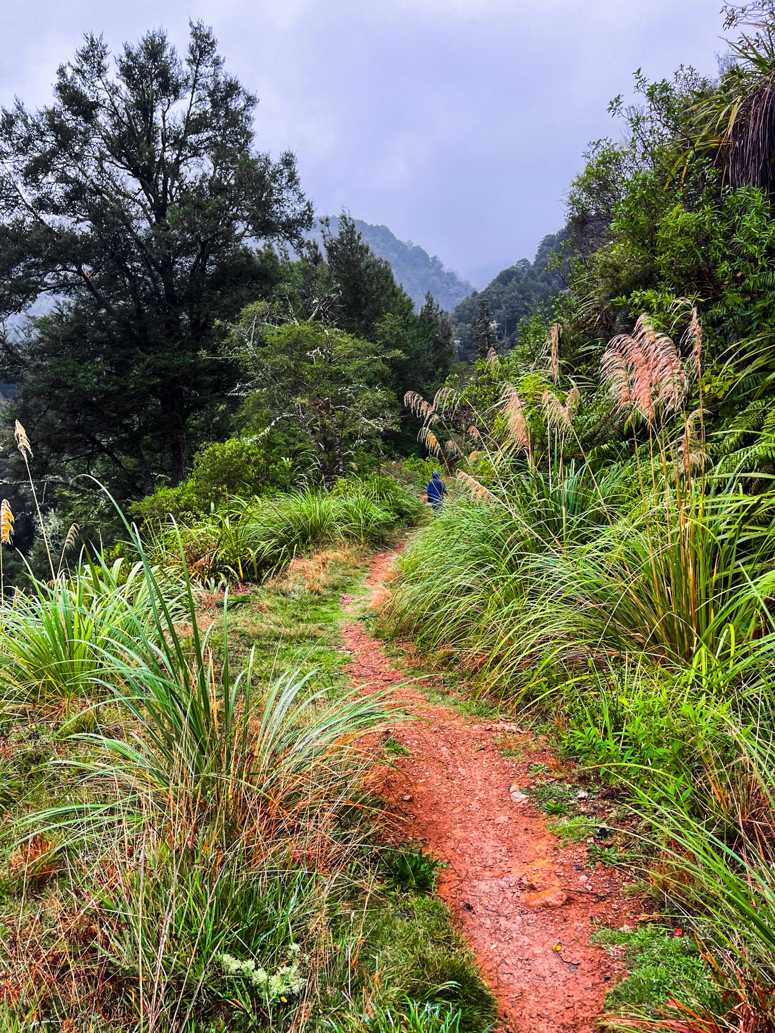
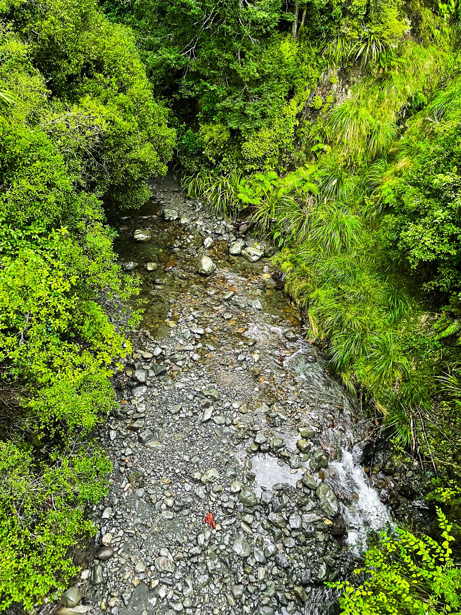
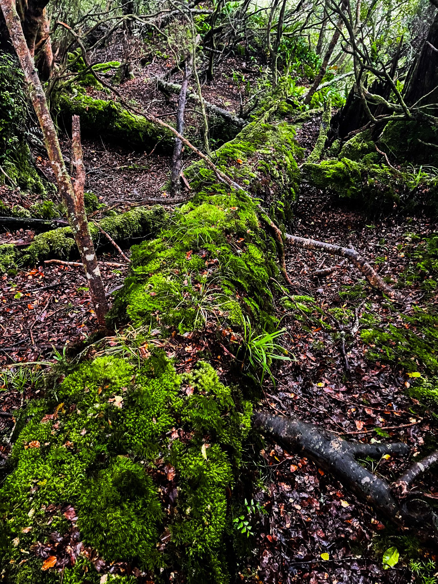
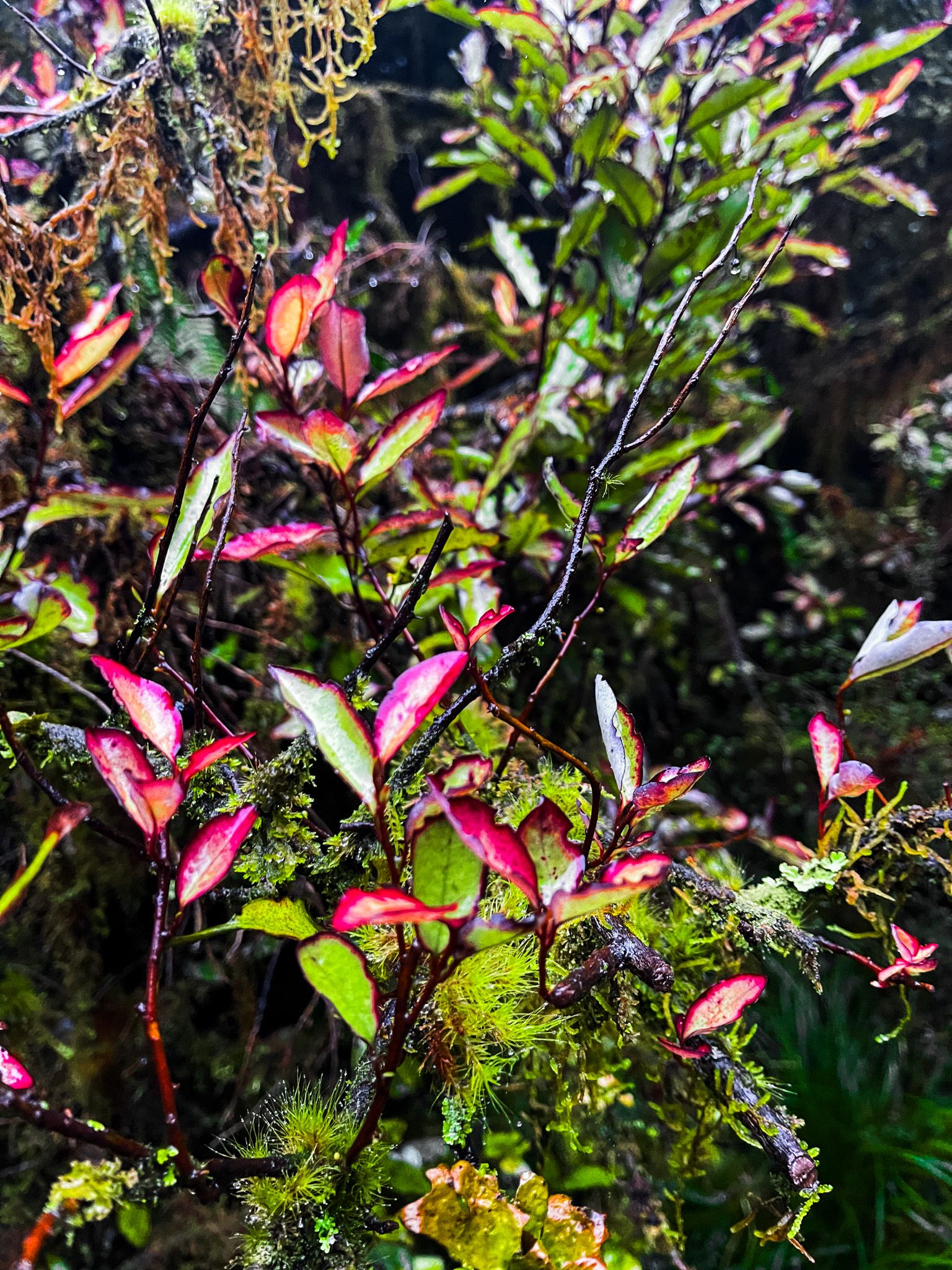
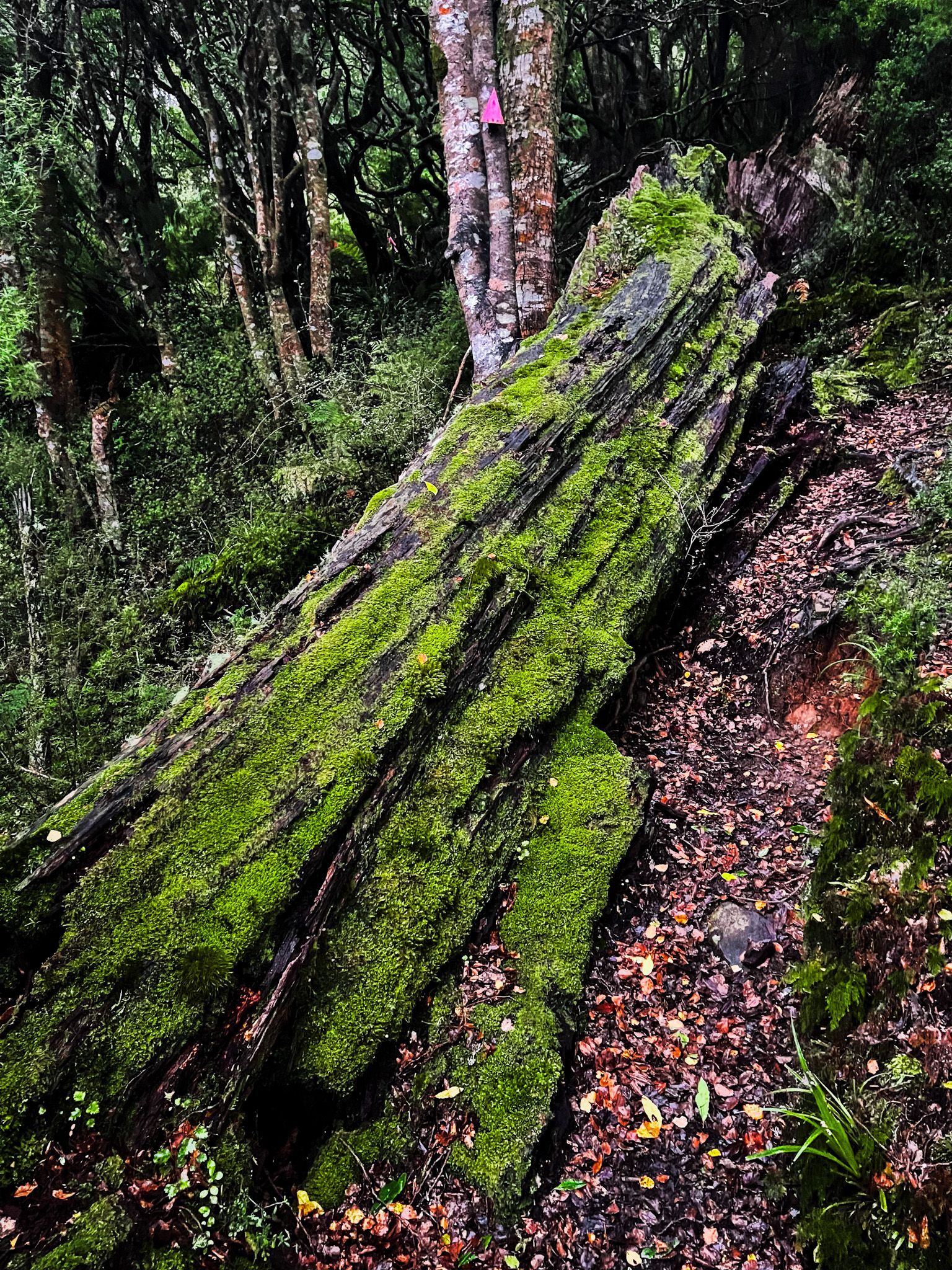
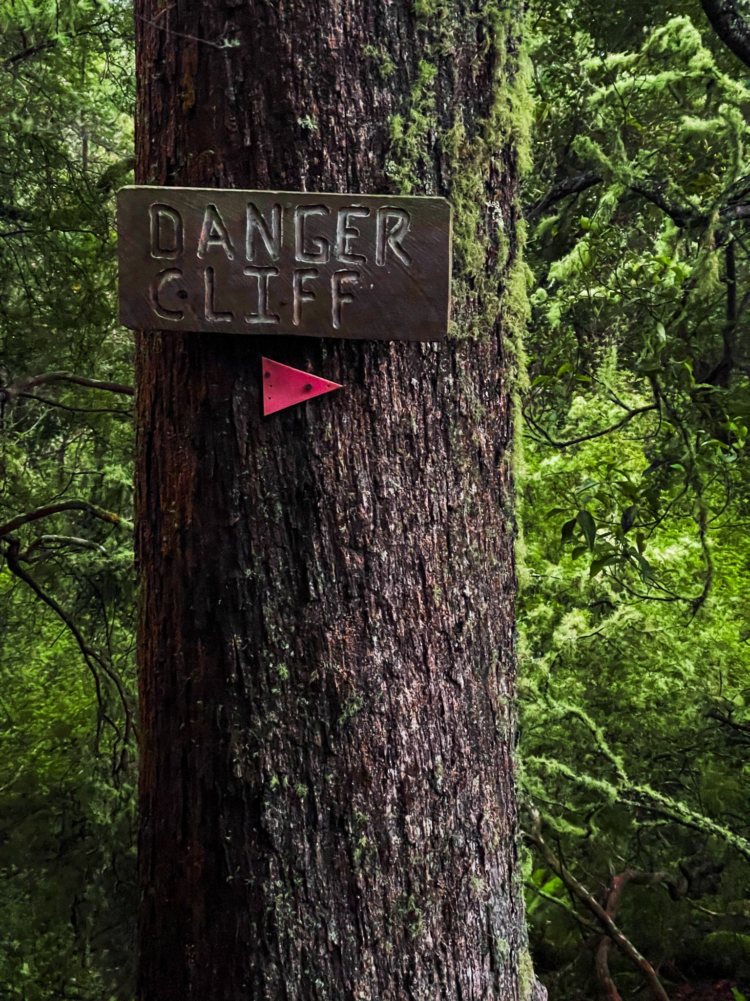
The Stoat Trap Track is the fastest way to Iron Gates Gorge. It heads northwest through a beautiful section of beech forest, often high above the Umutoi Creek, although the view is blocked by foliage. As it approaches the Orua River, there is a short deviation to a view of the river and gorge, with a notable “Danger Cliff” sign. You can get close enough to look straight up the Iron Gate Gorge. Following the main track, you drop down steeply to the river near the head of the gorge. This is a rough tramping track and takes about 2 hours return.
The Track to Alice Nash Memorial Heritage Lodge
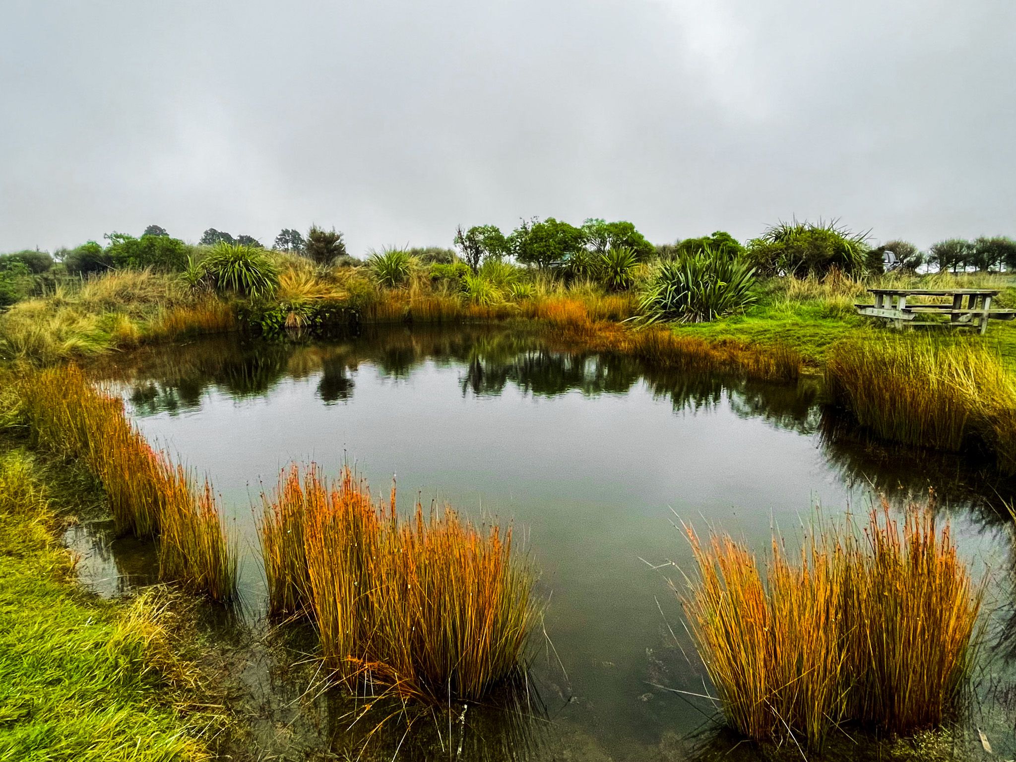
Choosing the right turn takes you through more beautiful beech forest to Alice Nash Memorial Heritage Lodge, perched on the edge of the valley with a view up the Oroua River. Just before the hut, a track branches down to grassy flats beside the Oroua, a good picnic spot. This section is moderate, dropping 140 metres, and the return trip from the car park is 7 km and takes 2 to 2.5 hours.
Once you are at the Oroua River, head downstream. This section requires crossing the river three to four times; it should only be attempted when the Oroua is at low to medium levels and is not suitable after rain.
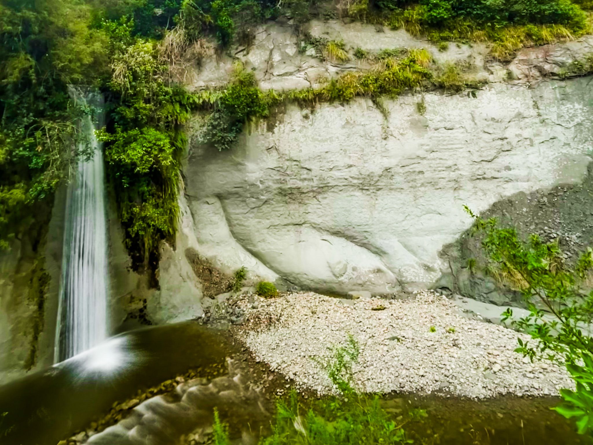
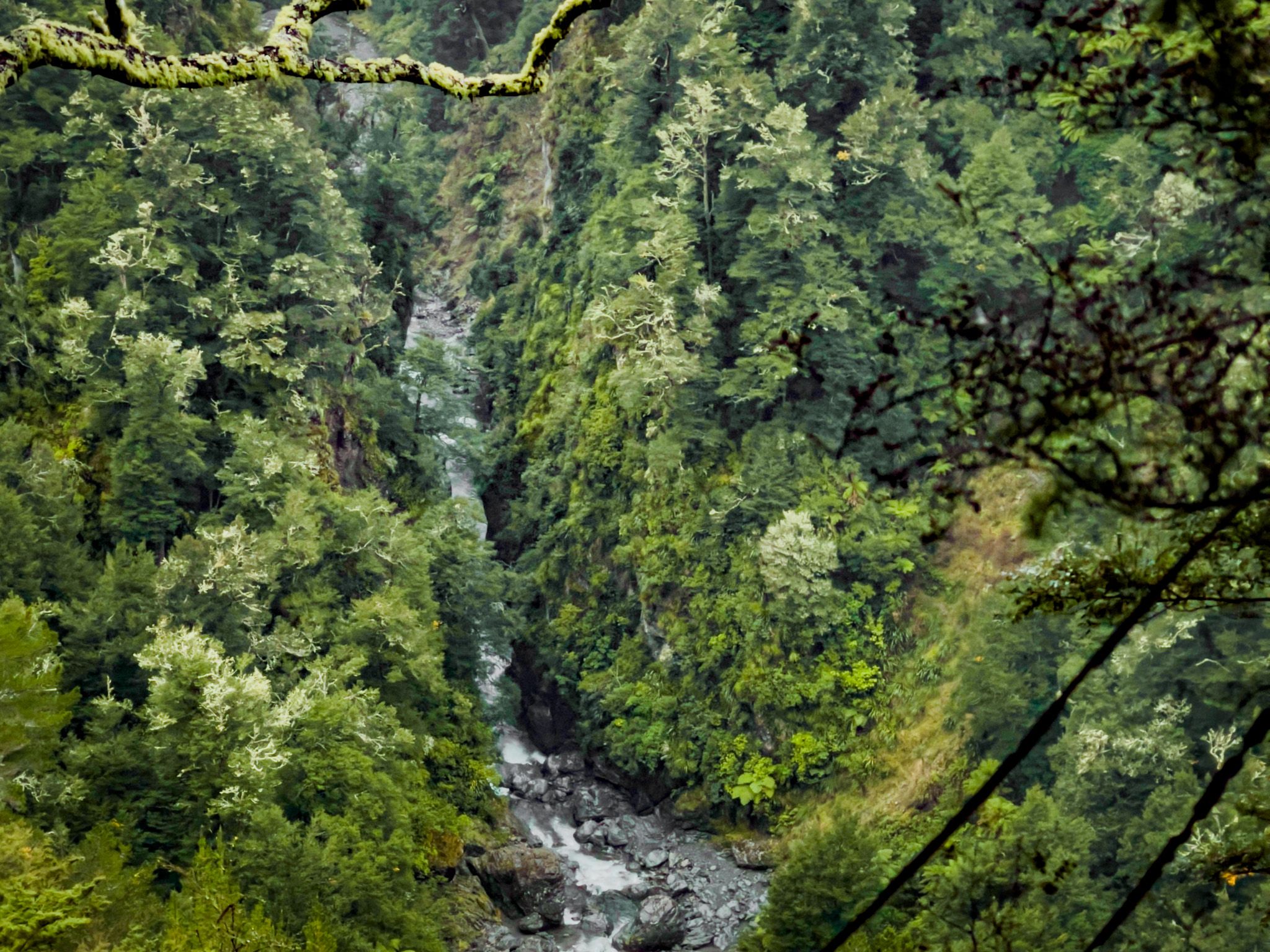
At the Gorge
The gorge itself is a narrow slot where the Oroua forces its way between rock walls, the cliffs dropping almost vertically into the water. In low flows, it is possible for strong swimmers to swim through; note that the current is powerful, the passage is tight, and flippers are recommended. The surrounding forest closes in along the riverbanks, and whio (blue) ducks have been recorded in the Oroua.
The longer route through to the gorge, then coming back via the Stoat Trap Track, adds roughly 90 minutes to 2 hours to the round trip and requires tramping experience. Allow four to five hours from the car park for the full loop.
Longer Tramps into the Ruahine
For those wanting a full day's tramping or an overnight, the Iron Gate Hut Track continues past Alice Nash Lodge on a sidle track above the Oroua River all the way to Iron Gate Hut, which sits beside the river further into the forest park. The track involves several steep descents and climbs in and out of side streams, and is rated advanced. Allow four hours from Alice Nash Lodge to Iron Gate Hut. A tramp to the Tunupō high point is another option from the lodge.
How to Get There
From Palmerston North or Magapeka on State Highway 1, follow the Manawatū Scenic Route to Table Flat Road. Continue past the Limestone Road junction (veering right near the road end) and turn left up Petersons Road; the car park and toilet are through a gate approximately 1 km up Petersons Road on the left. Check DOC's website and current conditions before heading out; river levels on the Oroua can change quickly.
Nearby places to visit include Ruahine Road to Mangaweka and the Ruahine Dress Circle.