Drive through Papa Cliffs with Deep Gullies
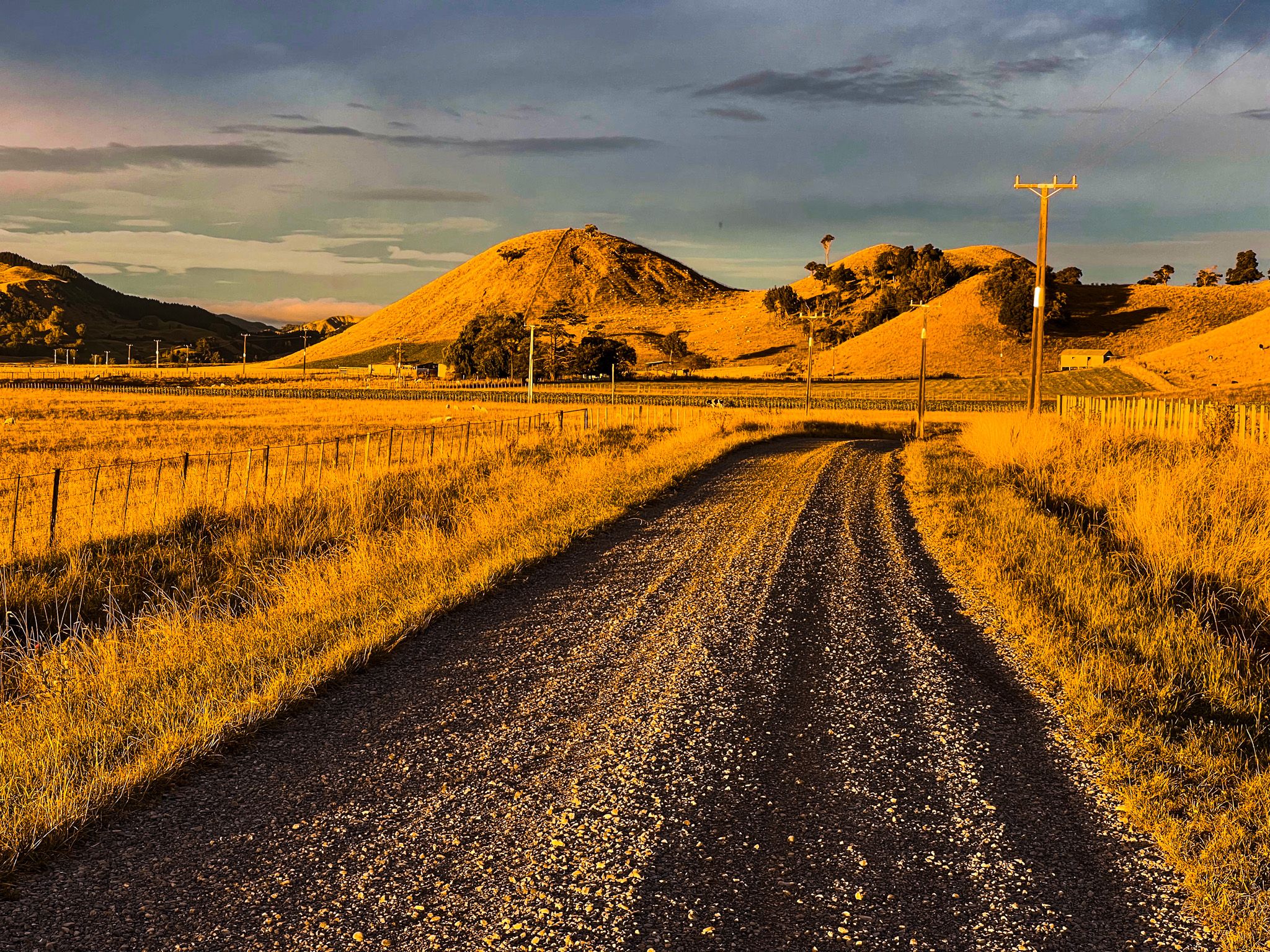
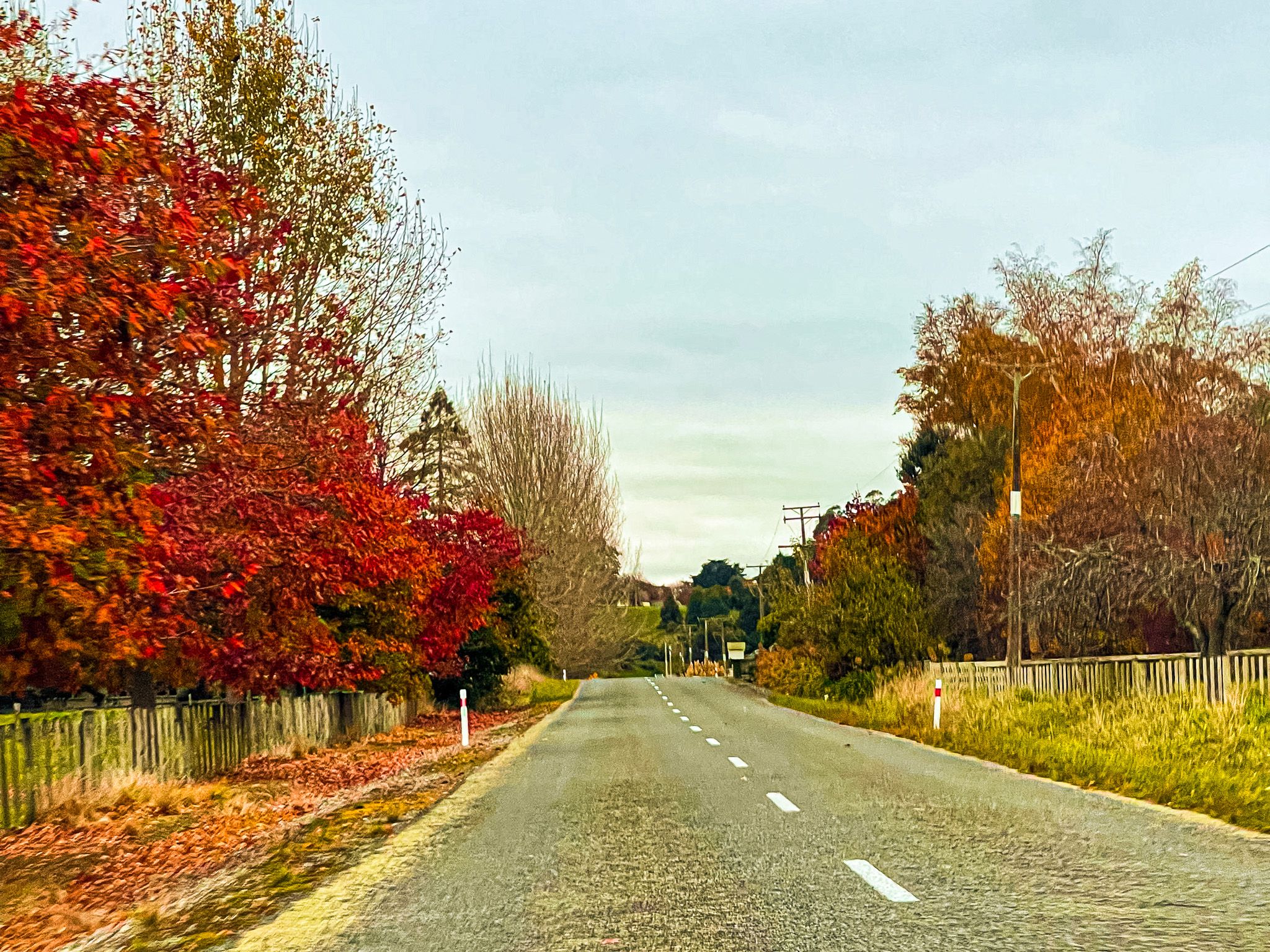
Ruahine Road leaves State Highway 1 at Mangaweka, crosses the Rangitīkei River and heads south-east into a landscape most travellers on the main road barely see. The 40 kilometres to Āpiti are sealed but often narrow, winding through deeply dissected papa-rock country between the Rangitīkei and Ruahine foothills. This is the northern section of the Manawatū Scenic Route, and the drive through it is one of the more dramatic back-country roads in the lower North Island: atmospheric in fine weather, genuinely precarious after rain.
The Mangaweka Bridge and the Papa Cliffs
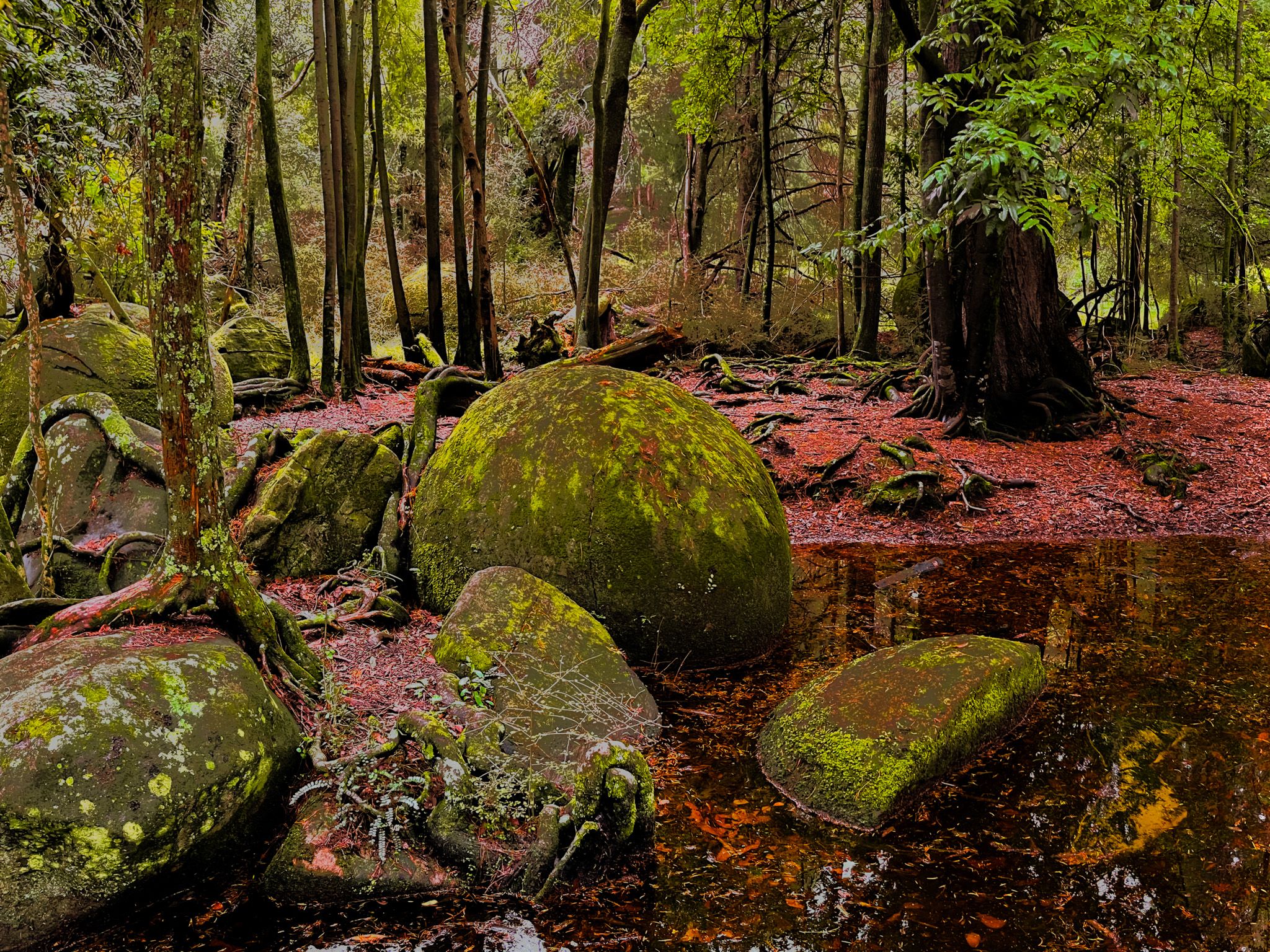
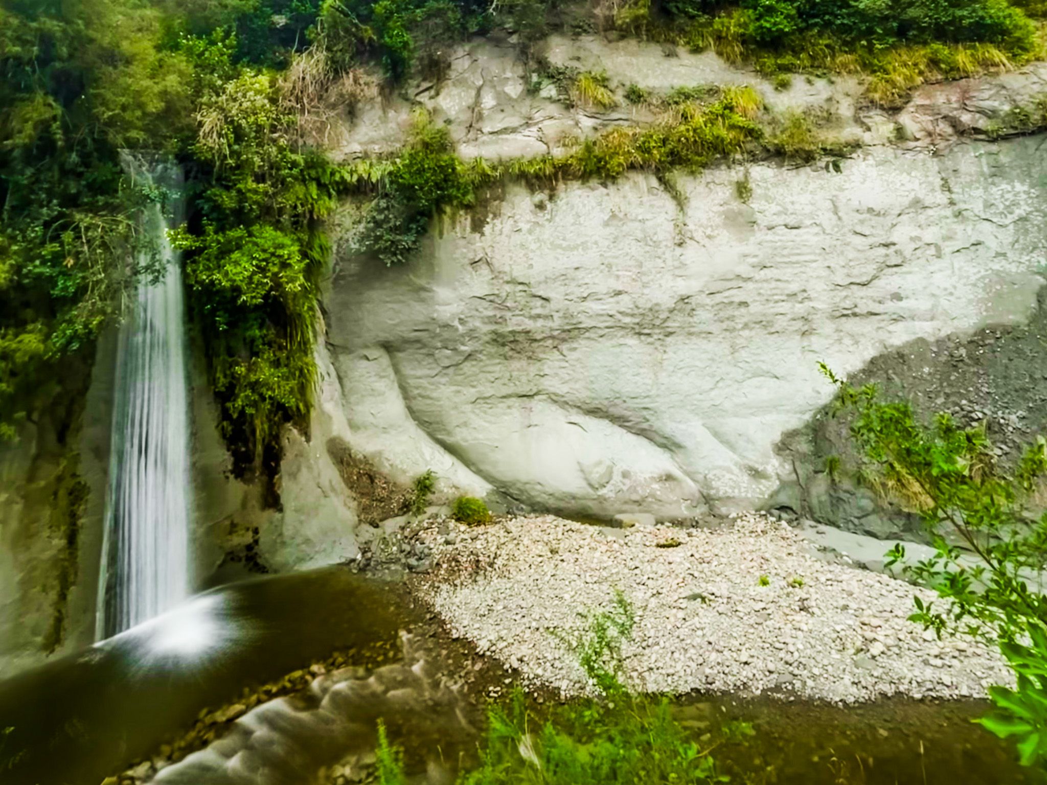
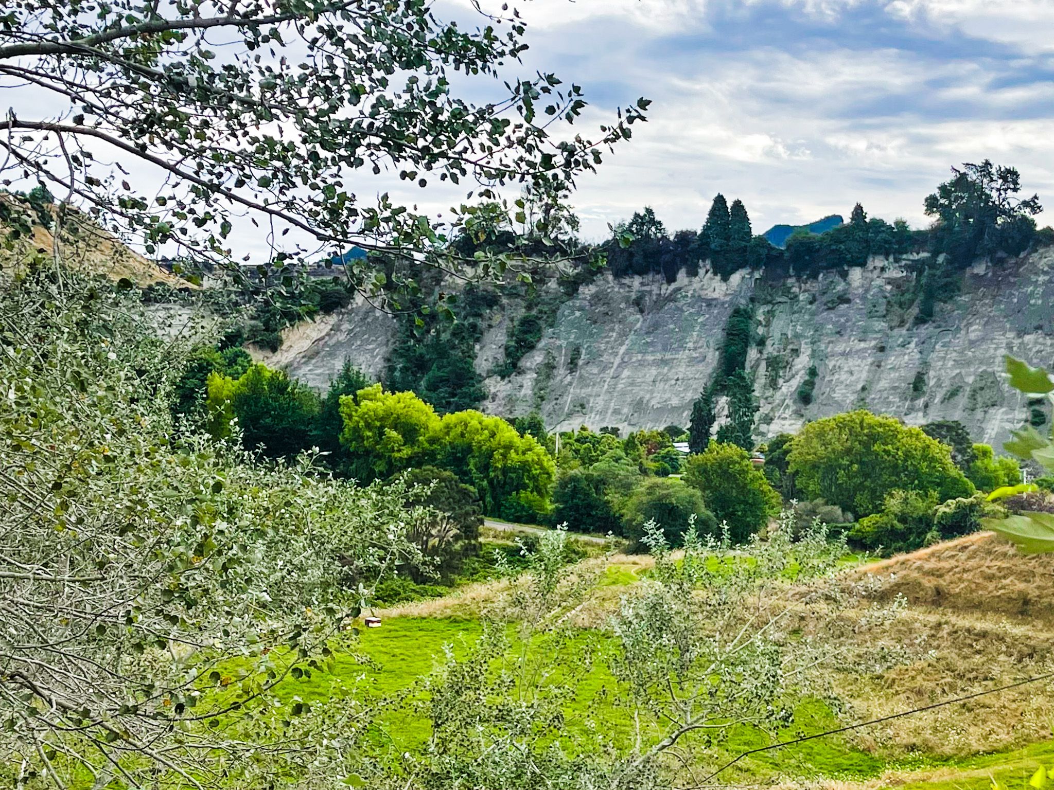
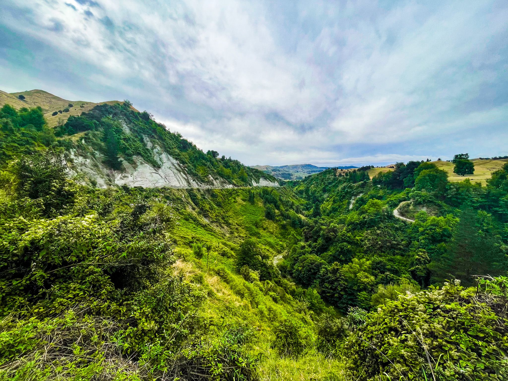
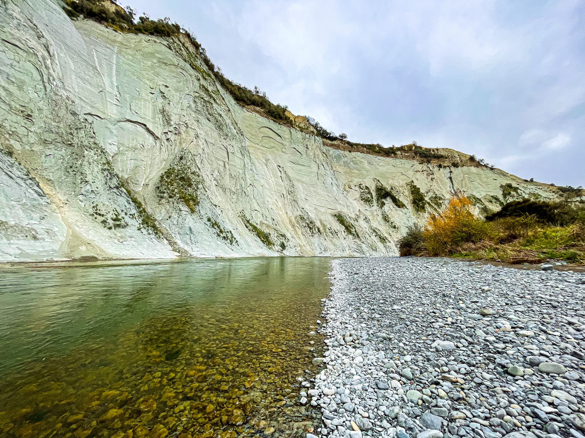
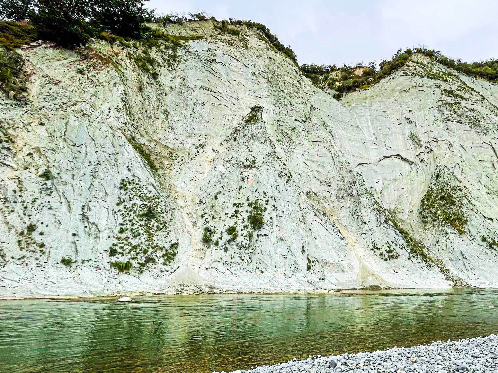
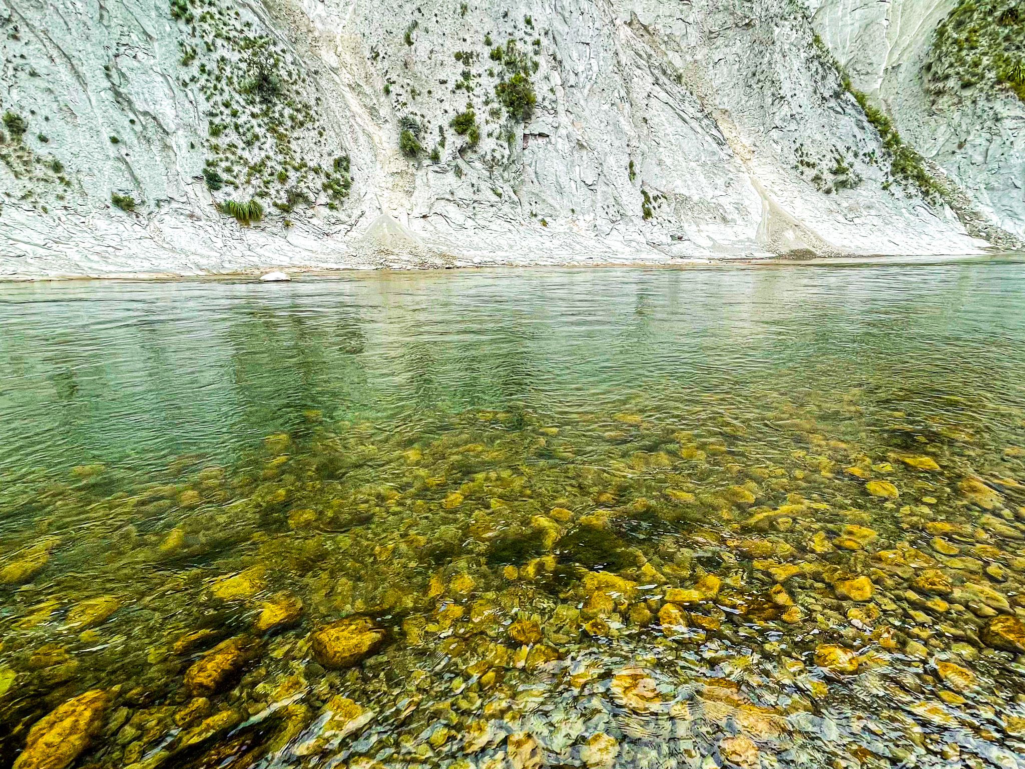
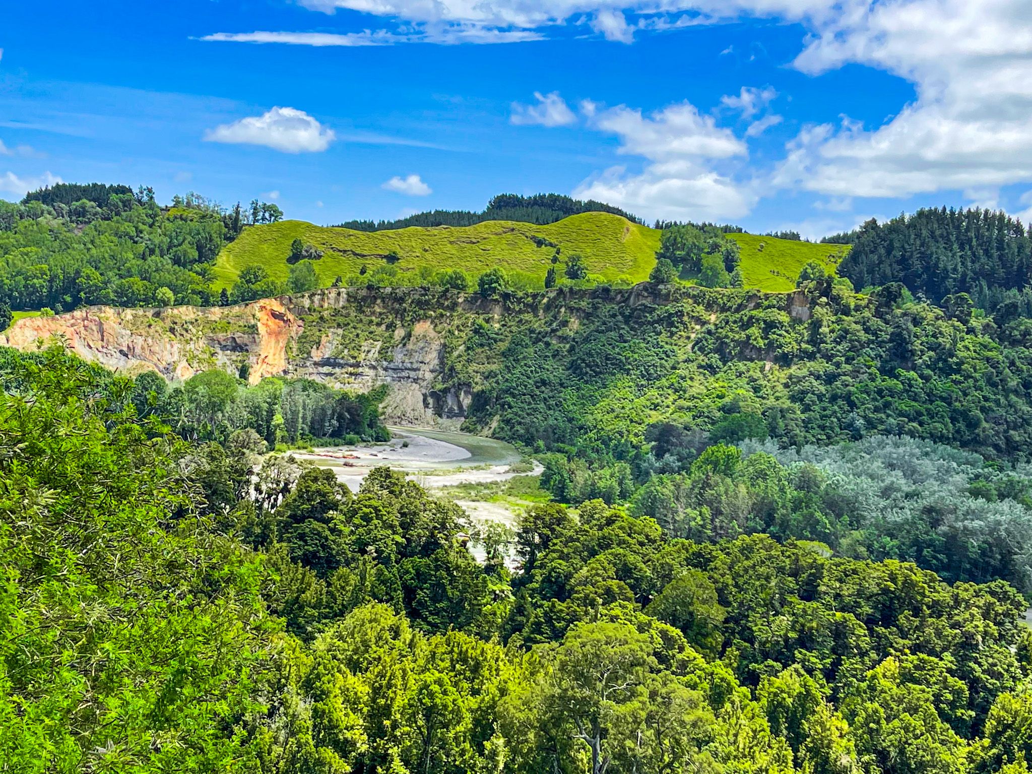
Crossing the Rangitīkei River on the Mangaweka Bridge, next to the Awastone & Mangaweka Camping Grounds, the white papa rock cliffs rise from the river terraces on the far bank. Papa is a soft, white to pale grey mudstone laid down in shallow seas from 2 to 15 million years ago and subsequently uplifted. It is a feature of the Manawatū, where the rivers and streams have carved deep gorges, lined with white papa rock cliffs. Papa is actually the Māori word for earth, and early Europeans adopted it to describe the region's mudstone.
The same formation dominates the South Taranaki coast, though the scale is different here. The cliffs rear up almost vertically above the rivers, bleached and crumbling, streaked with mineral stains, and topped by green-to-golden pasture and scrub.
Slip Country: a Road that Moves!
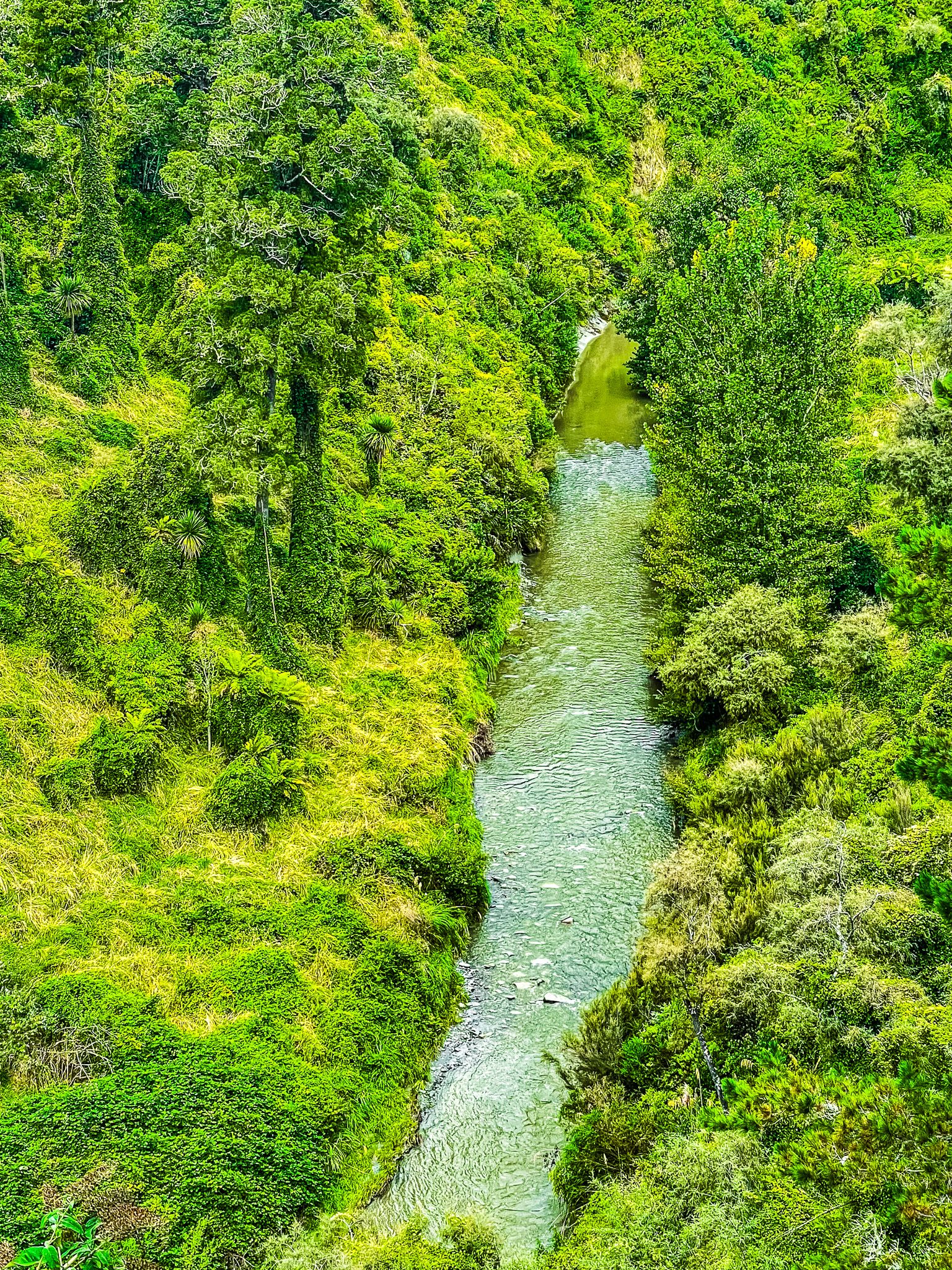
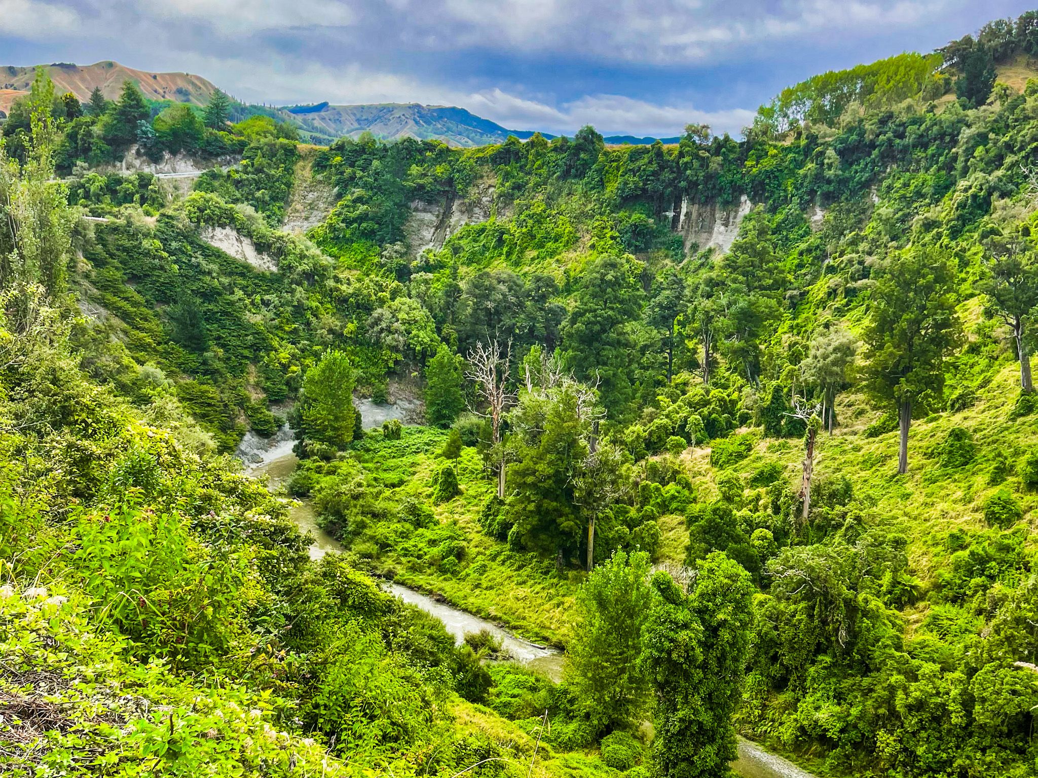
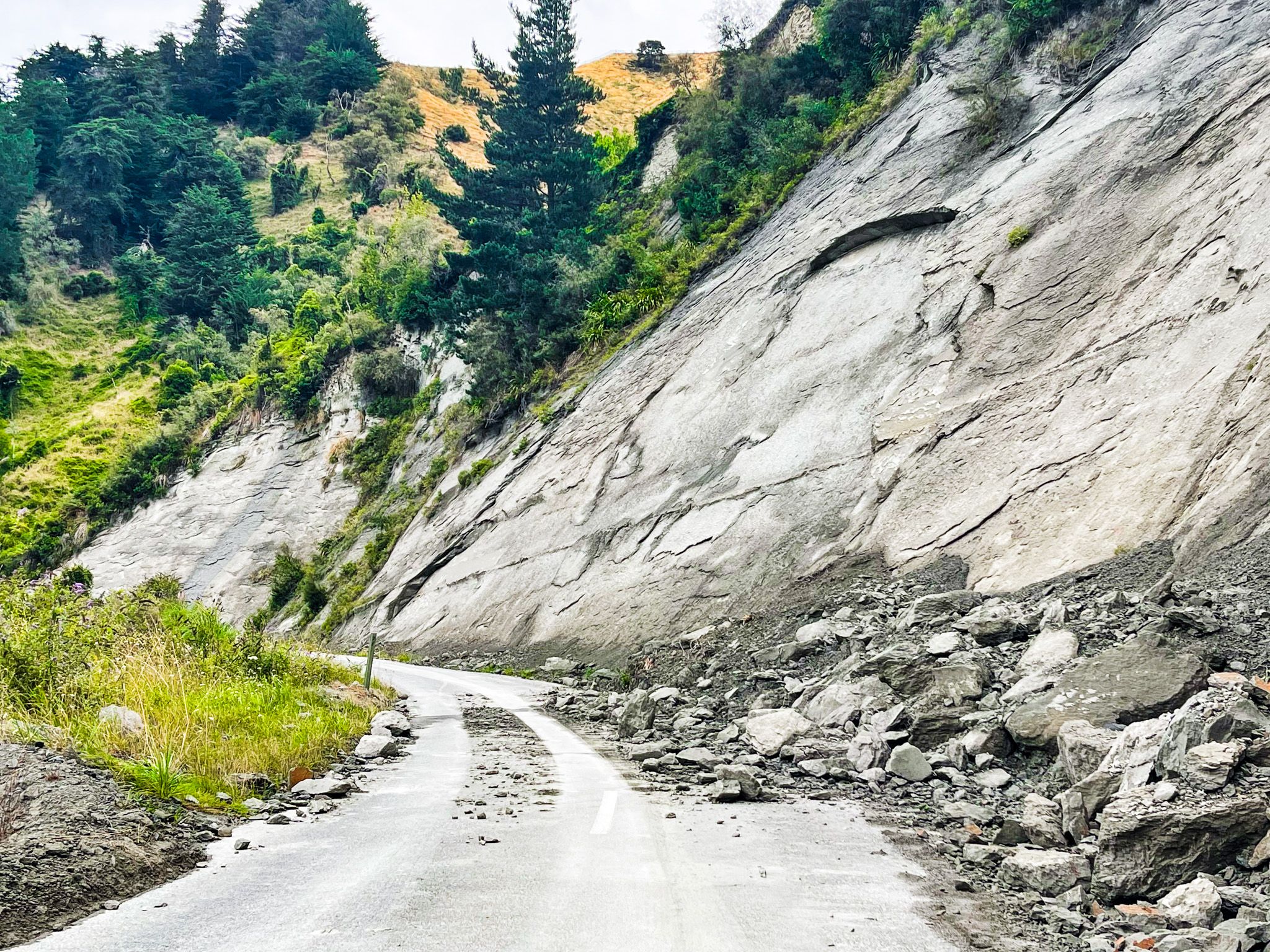
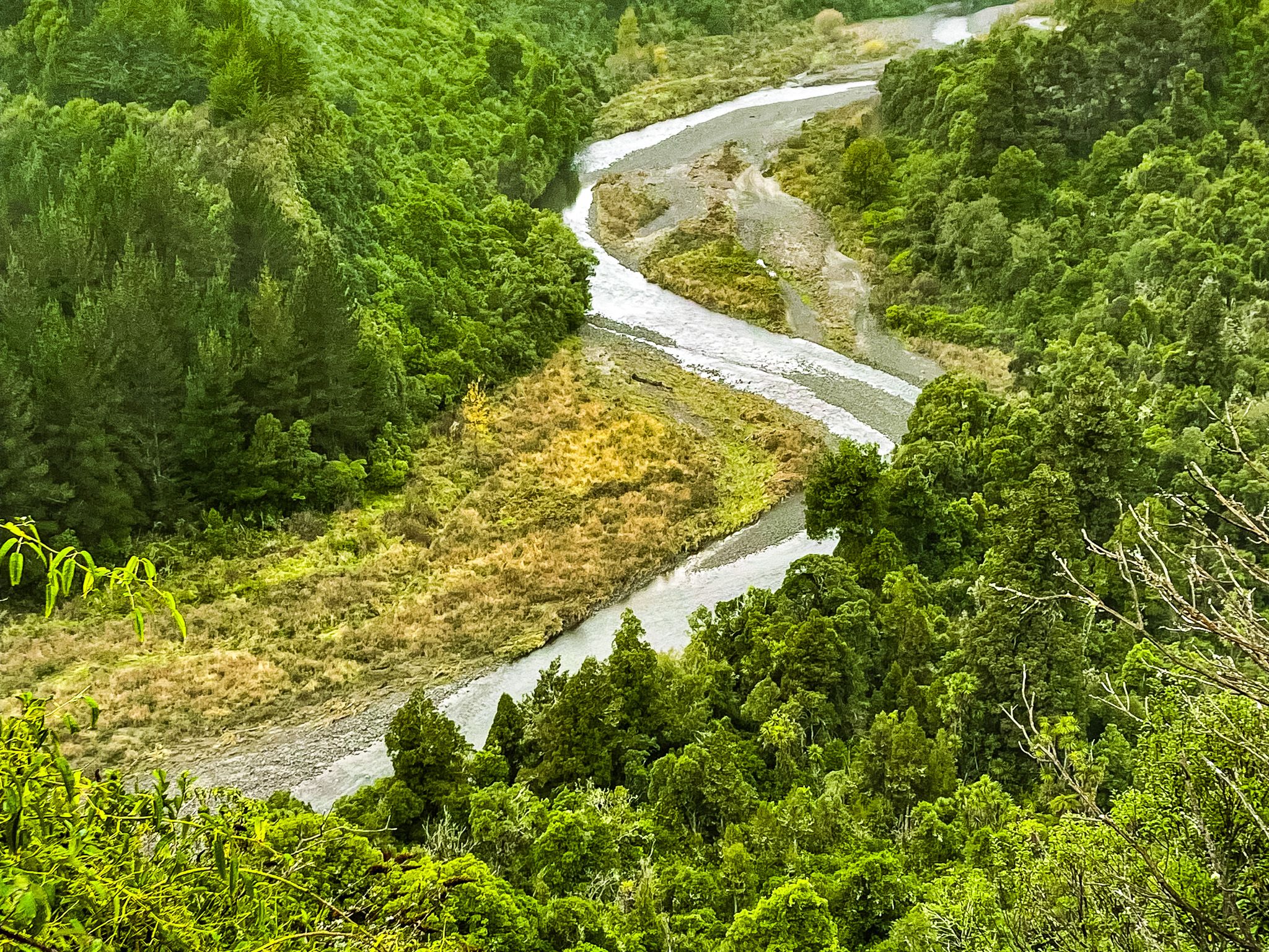
Ruahine Road passes through some of the most actively unstable terrain on any public road in the North Island. The papa mudstone that makes the cliffs so visually striking is also what makes the slopes above and beside the road so unreliable. It absorbs water readily, loses cohesion quickly, and fails in sheets. After significant rain, the road can be blocked by fresh slips that deposit a deep covering of pale grey mud and rock, or by slumps that carry a section of the road edge into the gorge below.
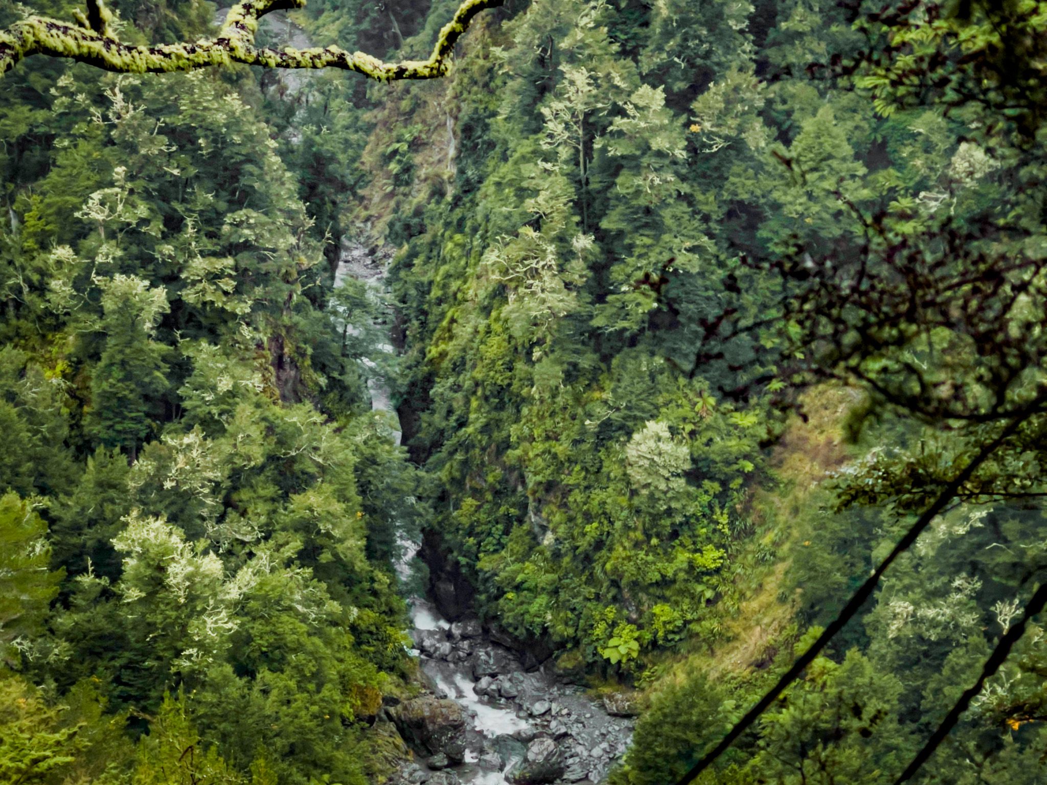
The gorge itself is the other defining feature. Along the most dramatic stretches, the road runs along a narrow ledge with the papa cliff rising steeply on one side and a very steep drop into a very deep ravine on the other. There is no barrier, no run-off room, and no margin for error on the edge. The scale of the vertical drop is not obvious from photographs: you need to pull over at a safe point and look down to appreciate just how far the road is above the valley floor.
For all of this, the road is generally maintained to a passable standard and carries regular local traffic. The slip hazard is a fact of the geography, not a deterrent to the journey, and you just need to be aware. Checking road conditions before departure is sensible after any significant rainfall.
Following the Gorge
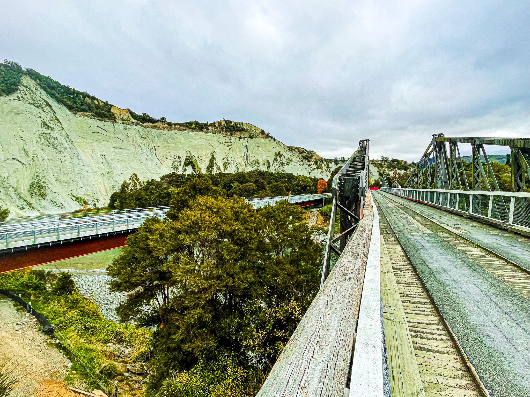
As you cross the modern road bridge, you will also spot the historic bridge, restored for walkers and cyclists, as well as the spectacular South Rangitikei Viaduct, 315 metres long and almost 80 metres above the river. Just over the bridge, Awastone Café sits beside the river, making a natural first stop. The café operates from roughly October to April, so check before visiting out of season. Just past the cafe, you can discover the historic dam and power station site on the Mangawharariki River. From there, the road cuts into the papa cliff and climbs steeply southeast to 80 metres above this river.
At 14 km from Mangaweka, you will reach the stunning viewpoint for, and turn off to, the Ruahine Dress Circle Reserve on Kelpie Road off Ruahine Road. The name reflects the papa cliff lined natural amphitheatre of the location on the Wairaki Creek.
The Route South towards Āpiti
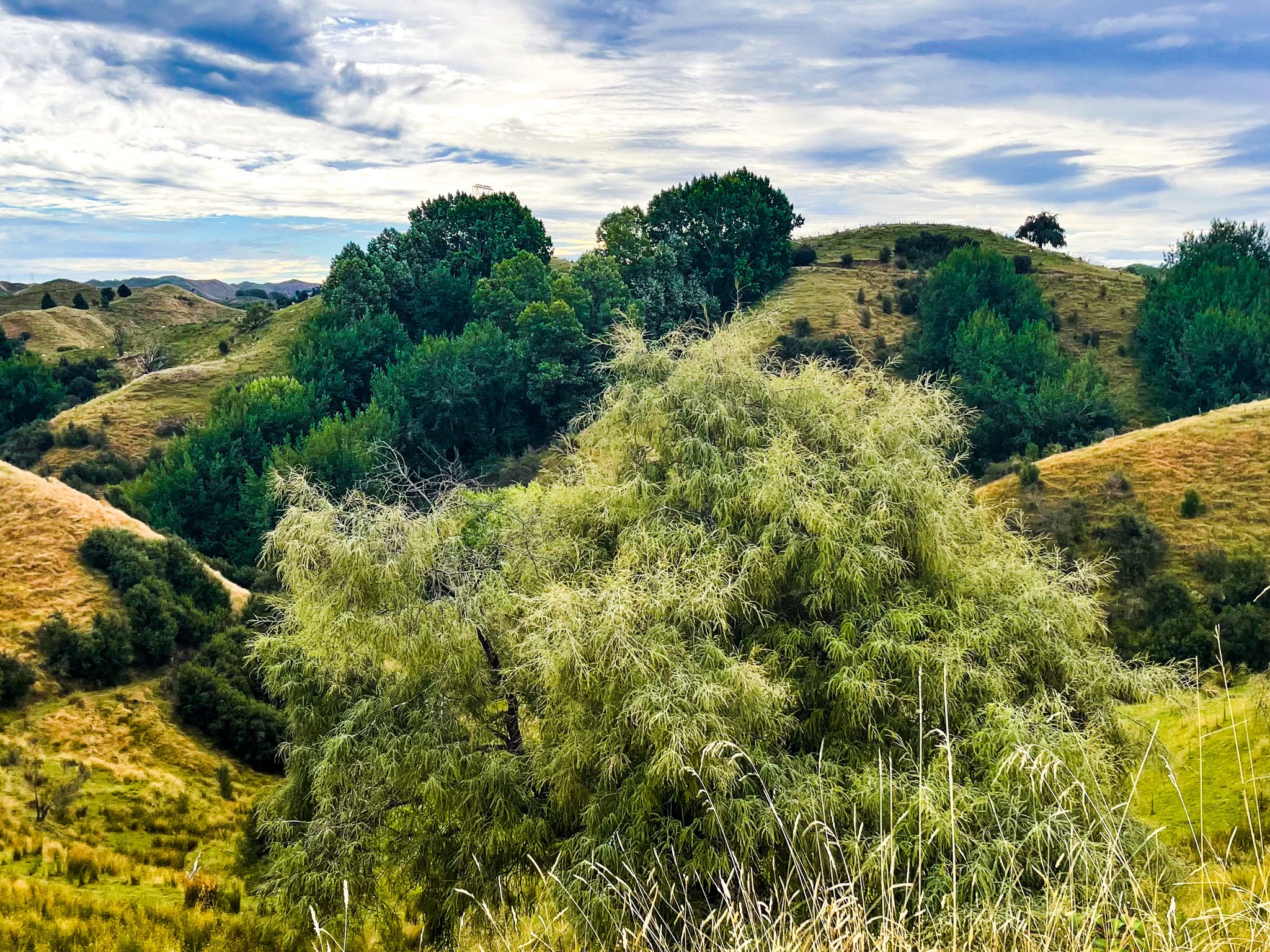
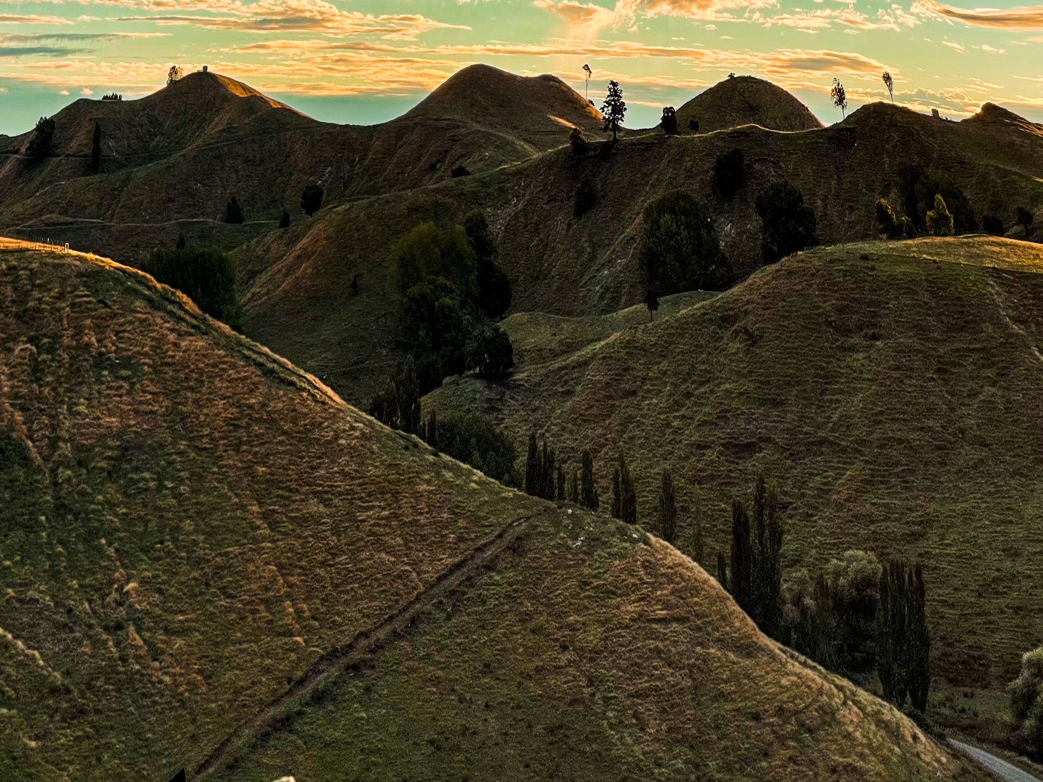
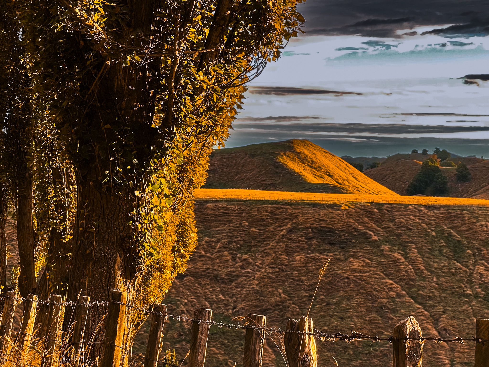
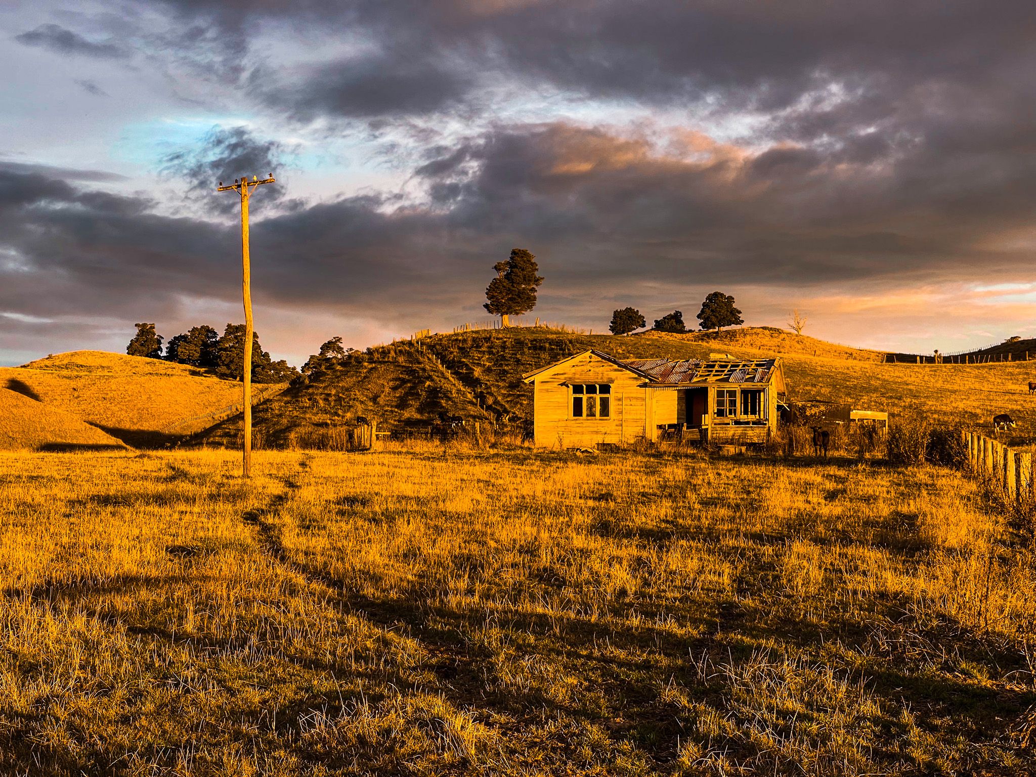
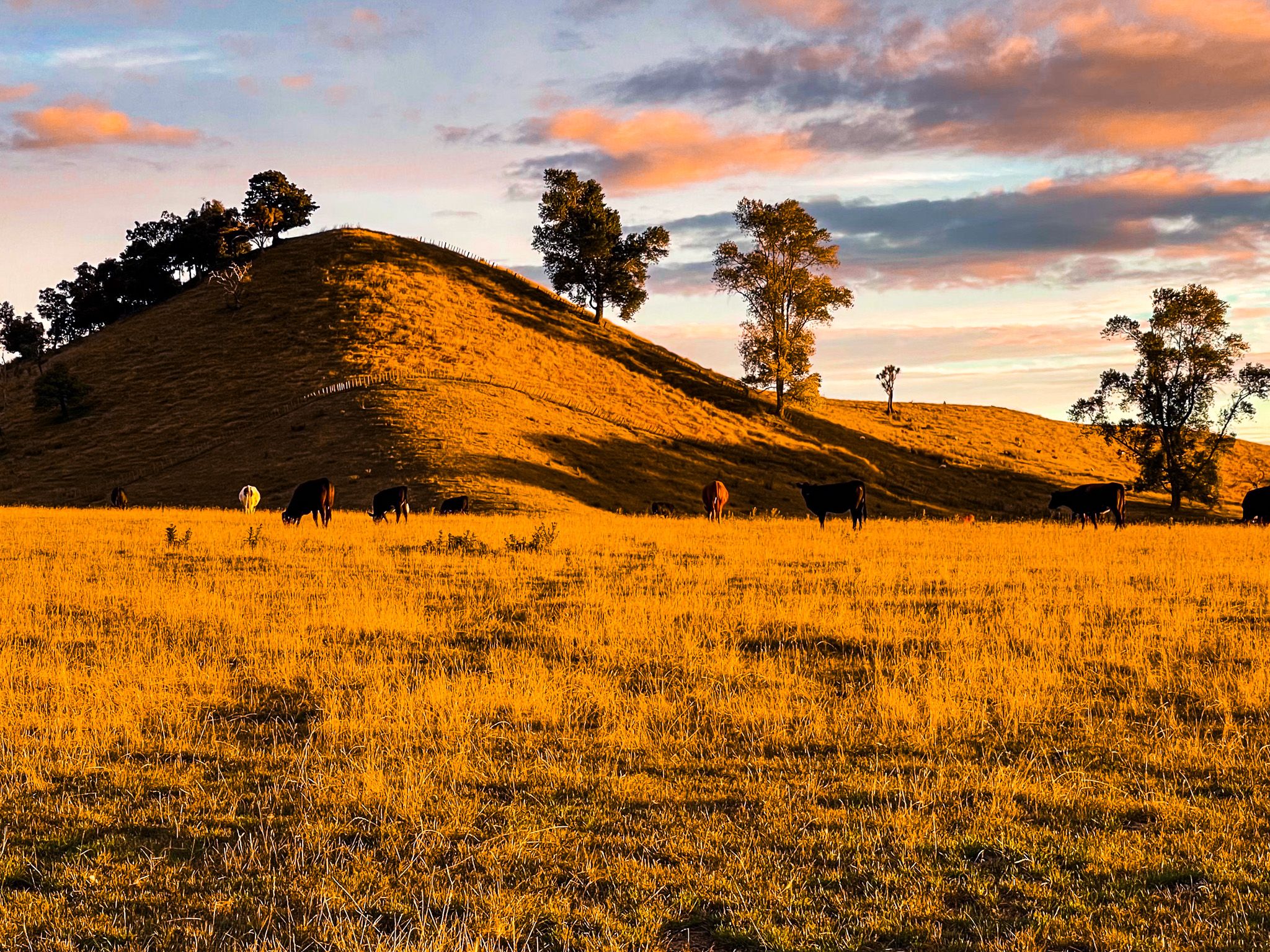
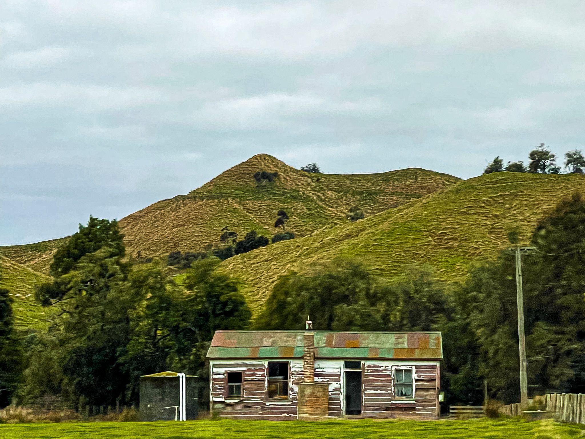
Beyond the initial gorge country, Ruahine Road settles into a rhythm of broad, rounded hills with in sheep and cattle occasional pockets of regenerating forest, and long views east toward the Ruahine Range. The range runs along the whole eastern horizon, a long, bush-covered rampart rising to well over 1,500 metres, with Mangaweka Trig at 1,733 metres the highest point in the Ruahine Forest Park. The range can be snow-capped in Winter.
The road ends at the intersection with Rangiwahia Road and Parapara Road. From there, the Manawatū Scenic Route follows Parapara Road, then Main South Road towards Āpiti. You can take a side trip on Renfrew Road to access the Ruahine Forest Park, where the Rangiwahia Hut Track climbs from here into the Range. As you approach Āpiti, another side road, Table Flat Road, takes you to the Iron Gate Gorge Track and the Limestone Creek Reserve Glow Worm Caves. Return the same way to continue the Manawatū Scenic Route on Pohangina Road into the Pohangina Valley, Tōtara Reserve Regional Park and onto Palmerston North.
How to Get There
Turn east off State Highway 1 at Mangaweka, roughly 30 km south of Taihape and 60 km north of Bulls. Cross the Rangitīkei River and follow Ruahine Road south-east. The route to Āpiti is approximately 70 km and takes around an hour and a half in good conditions. The route south from Āpiti also connects to Feilding and Palmerston North via Kimbolton.