Ancient Forest in the Pohangina Valley
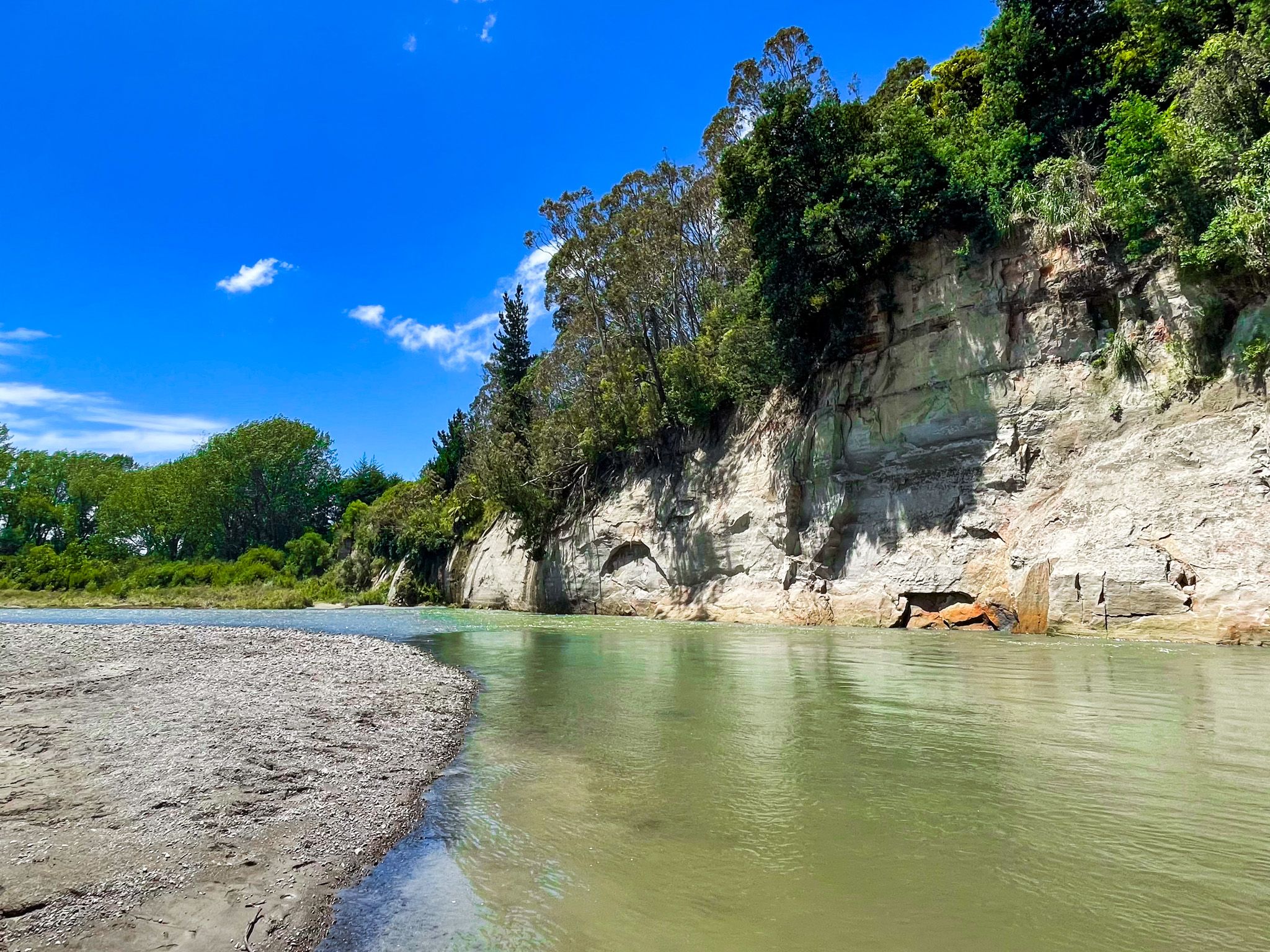
Tōtara Reserve Regional Park sits at the northern end of the Pohangina Valley, where the valley narrows, and the Ruahine Range fills the view ahead. The reserve covers 340 hectares of native forest running from river flats up into steep hill country at elevations between 100 and 600 metres. It is the most complete and accessible example of the ancient lowland podocarp forest that once covered much of the Manawatū. It can be reached via the Manawatū Scenic Route from Palmerston North.
History of the Reserve
The reserve's formal history begins in 1886, when the land was gazetted as a state forest reserve for timber conservation and river protection purposes, a recognition, even then, of how much had already been cleared in the surrounding valley. In 1932, a portion was designated a Scenic Reserve and, since 1947, it has been managed as a public reserve, with Horizons Regional Council taking it over in more recent decades. The informal name Totara Reserve has been in common use for well over a century.
Rangitāne o Manawatū hold the reserve in high cultural regard within their rohe, and their connection to the Pohangina River and its headwater forests is long-standing.
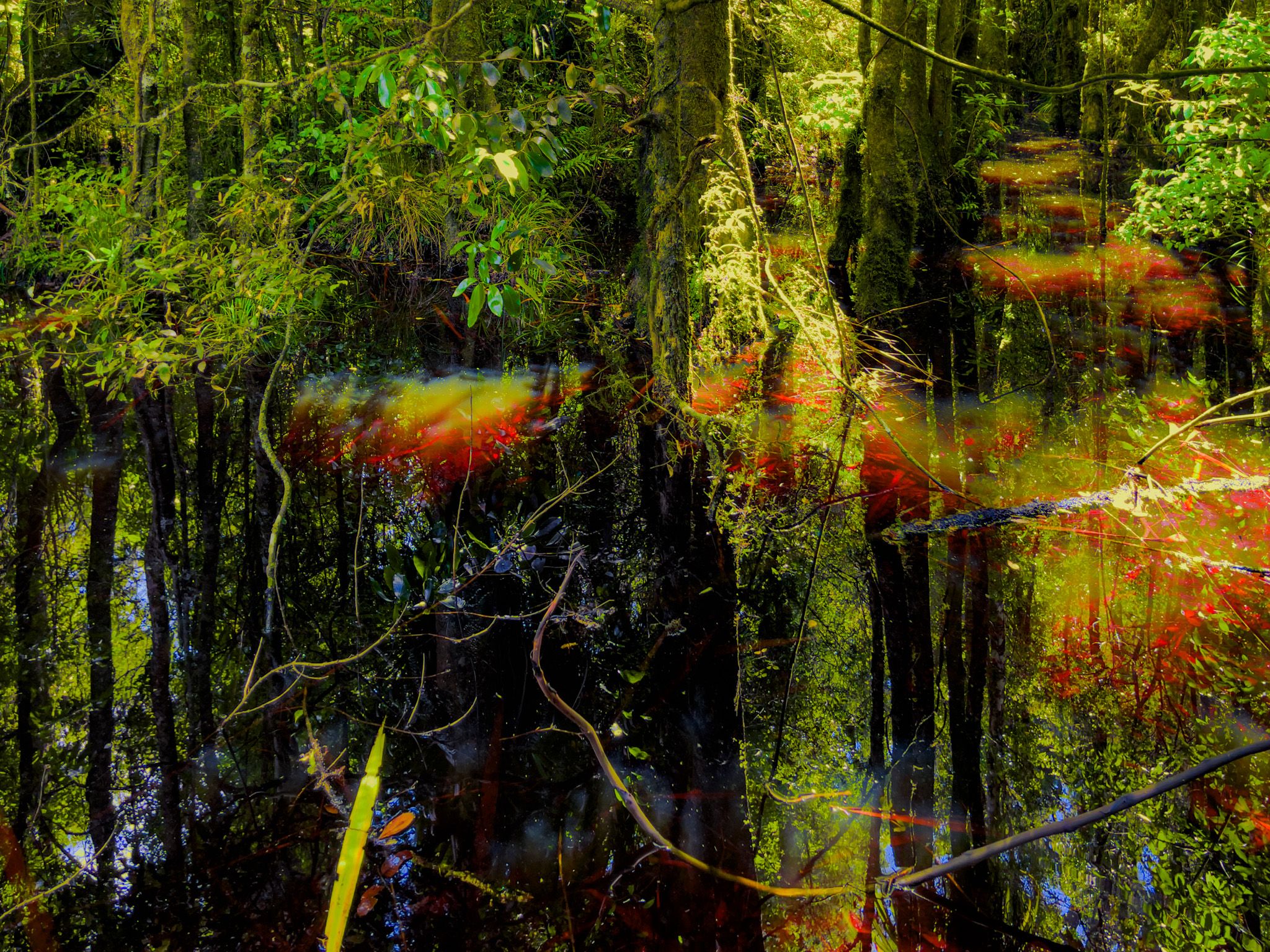
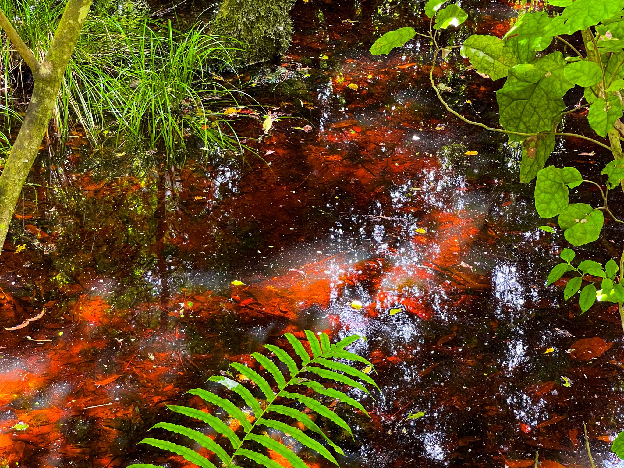
The Forest
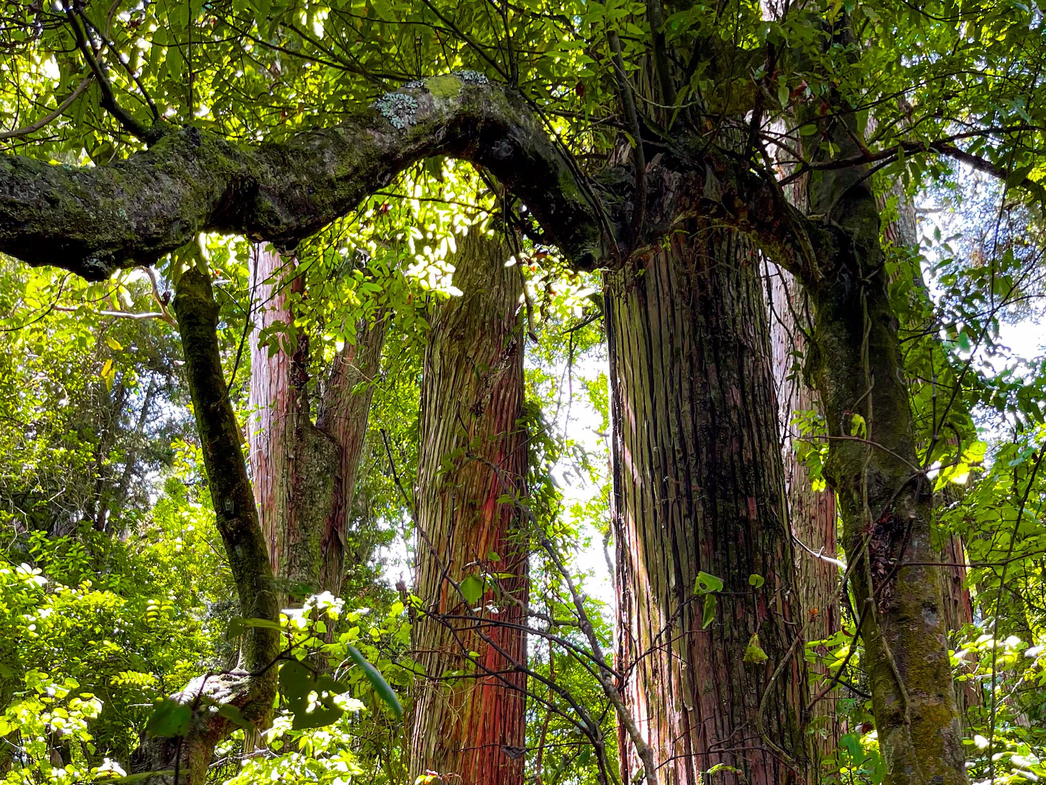
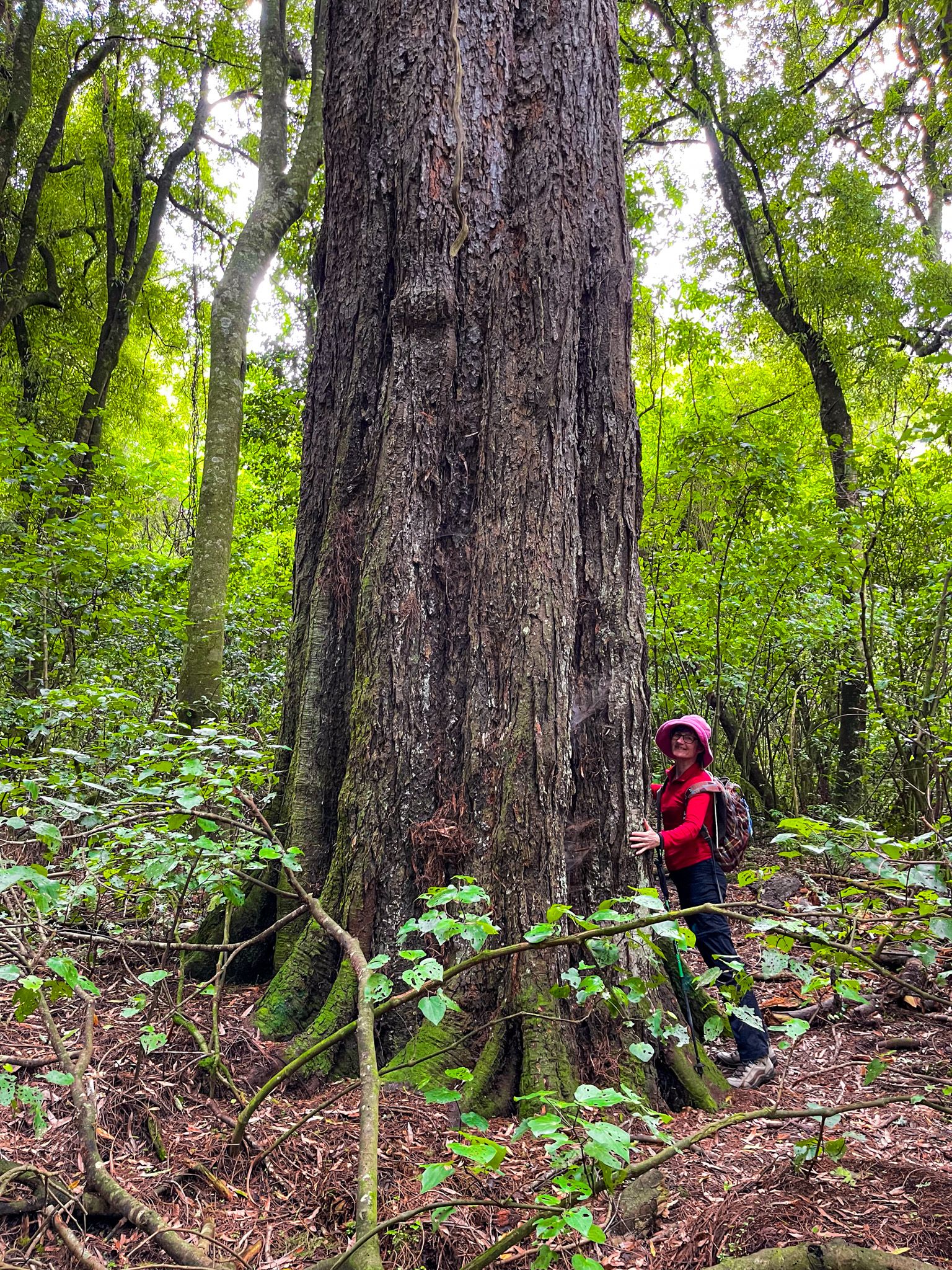
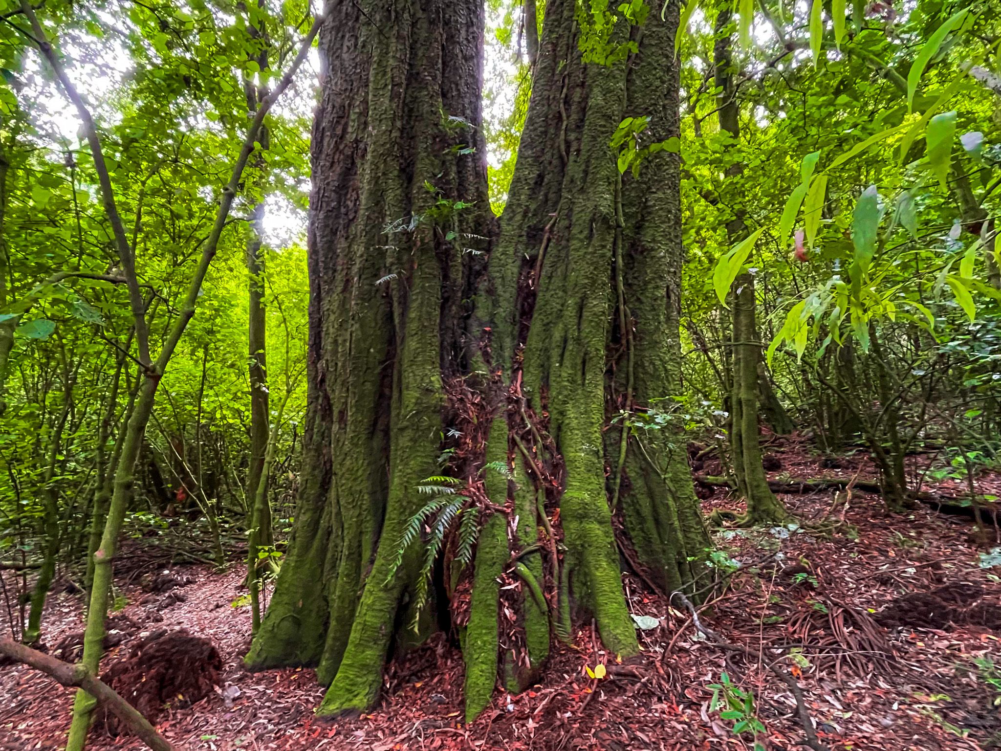
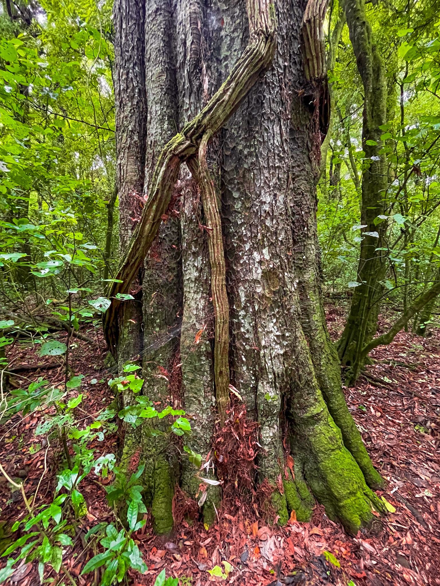
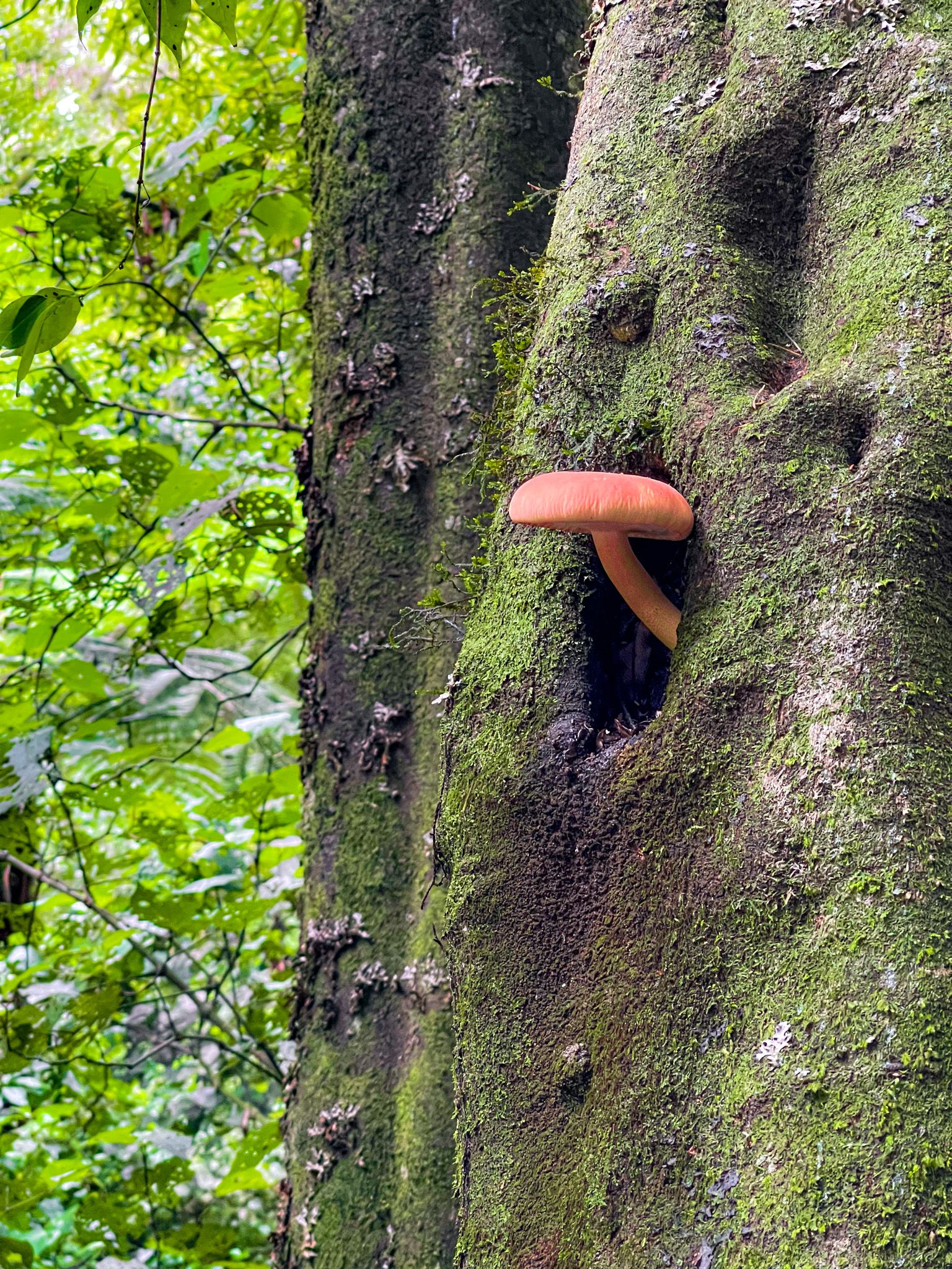
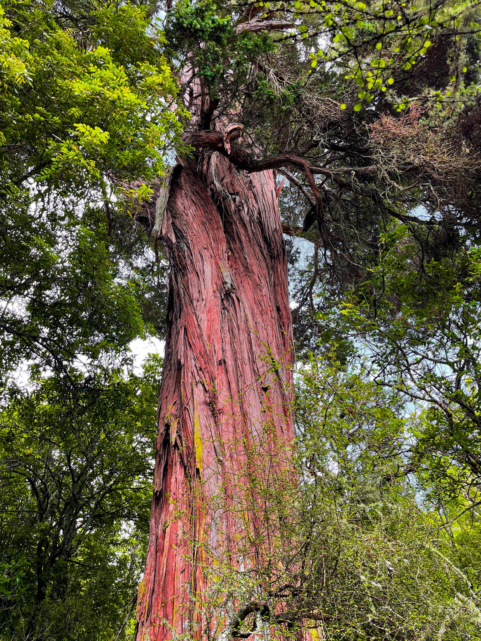
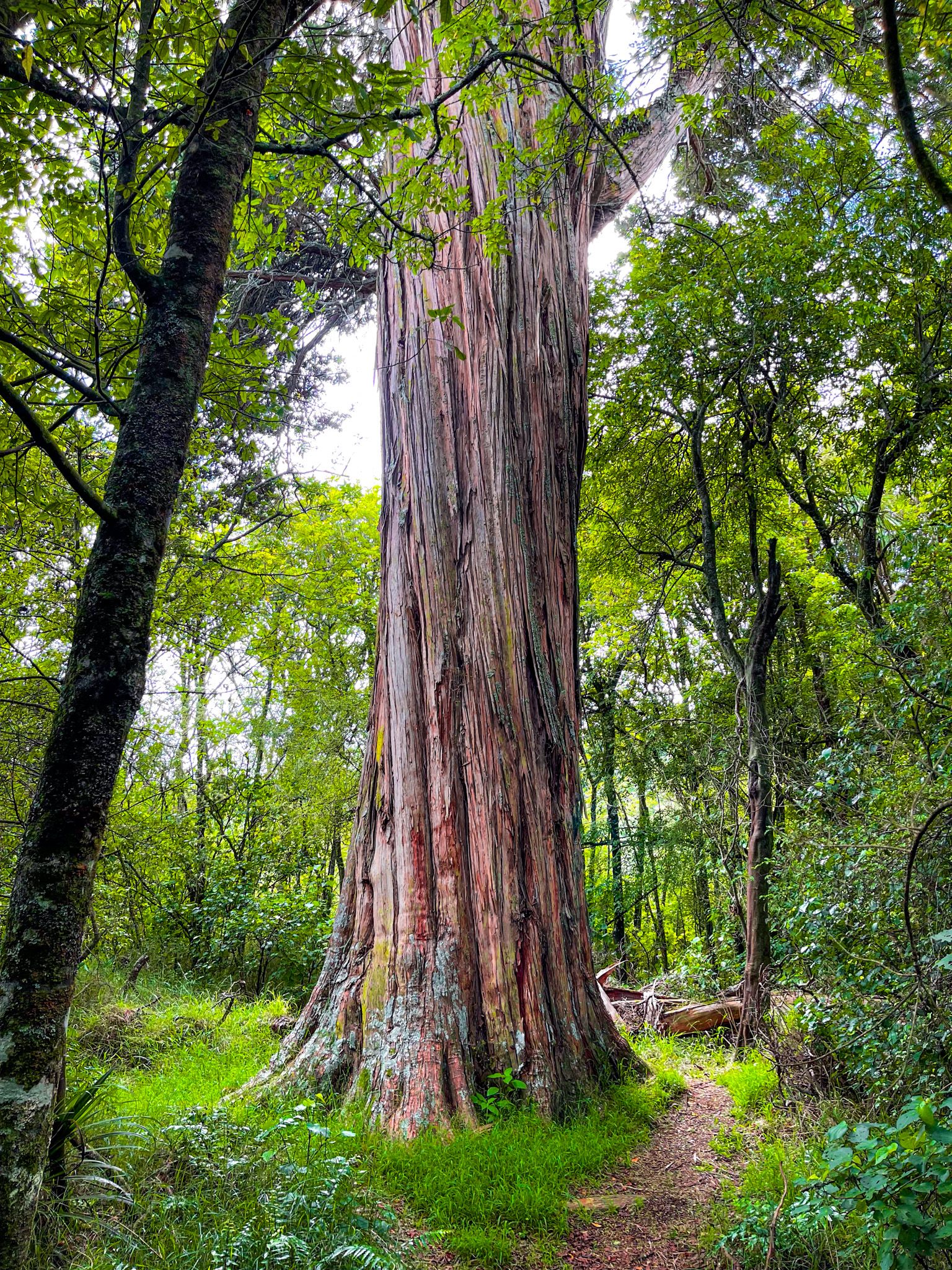
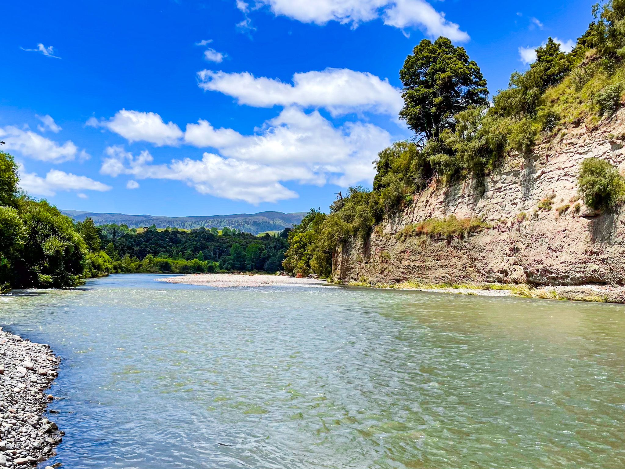
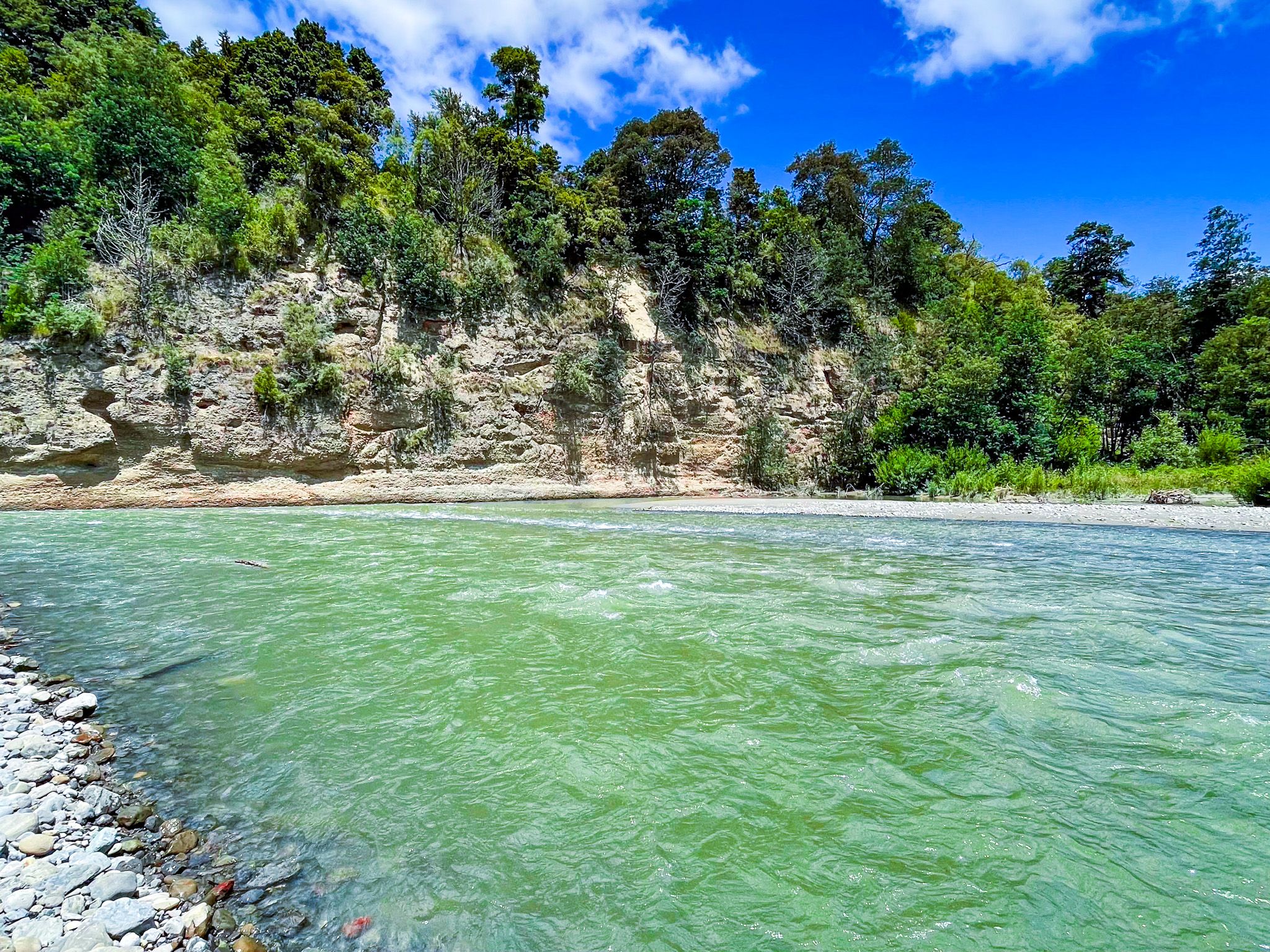
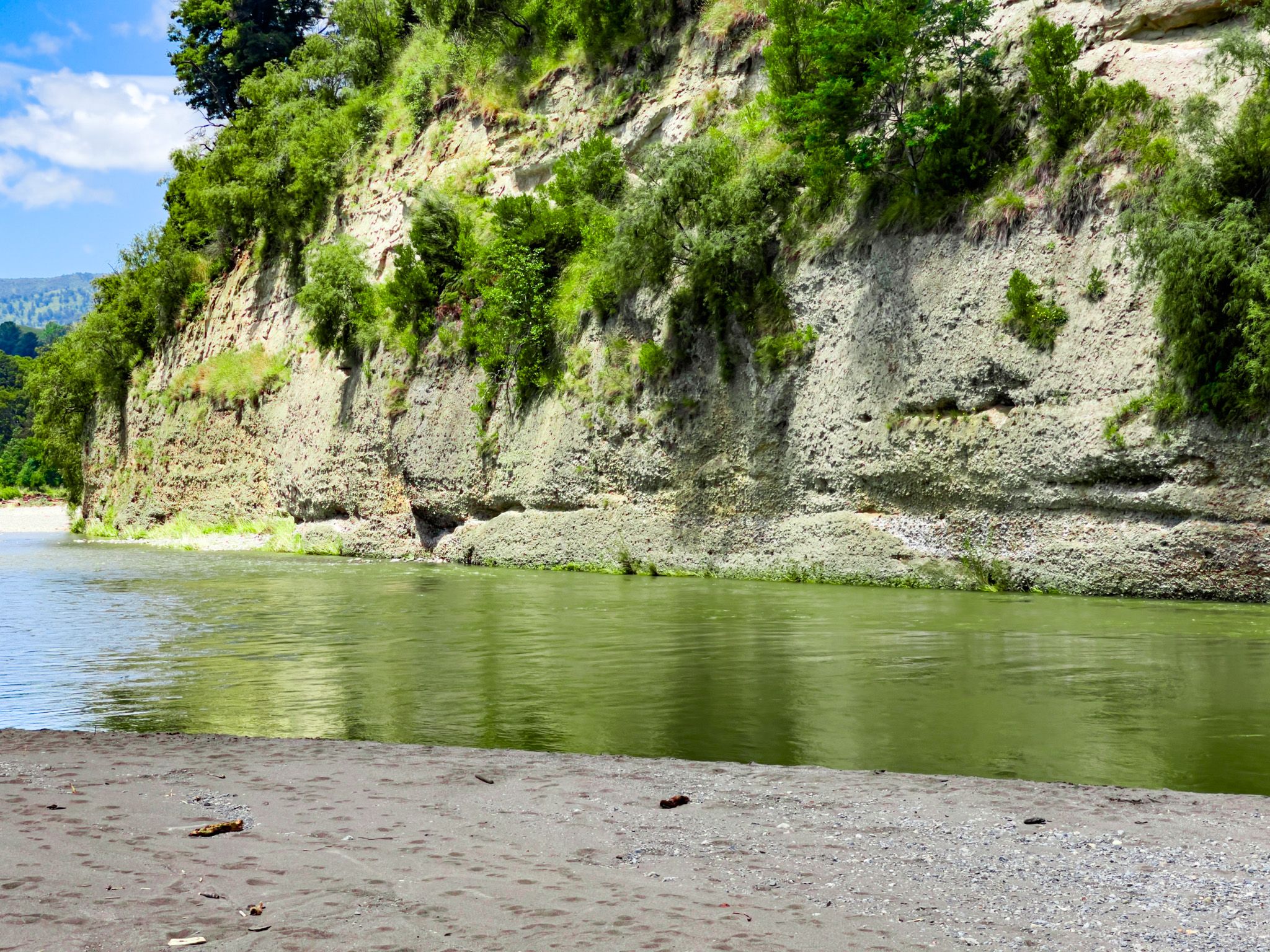
Two distinct environments make up the reserve. The river flats carry a mixed forest of tōtara, mataī, rimu, and kahikatea, with some black beech and dense tree ferns in the gully bottoms. On the steeper hill country above, the canopy is dominated by rimu and tōtara, with rata climbing the larger trees and an understorey of ferns and shrubs. The overall effect, walking into the reserve from the road, is of a forest that has had time to develop its full structure: tall emergent podocarps above a layered canopy. Tūī, korimako, kererū, pīwakawaka, kōtare and ruru are all recorded in the reserve.
Walking Tracks
Three tracks are accessible from Pohangina Valley East Road on the approach to the campgrounds. The Pettifar Loop Track is an easy 2.3 km circuit that takes an hour, entering the forest from the road and returning via a different route, with views of the Ruahine Range. The Fern Walk is the longest and most rewarding, running 4.5 km through the hillier southern block of the reserve and taking three hours return; it passes through dense tree fern gullies, rimu stands, and several viewpoints overlooking the valley. From the campgrounds, shorter nature trails, ranging from 10 minutes to an hour, explore the river flat forest.
Campgrounds and River Swimming
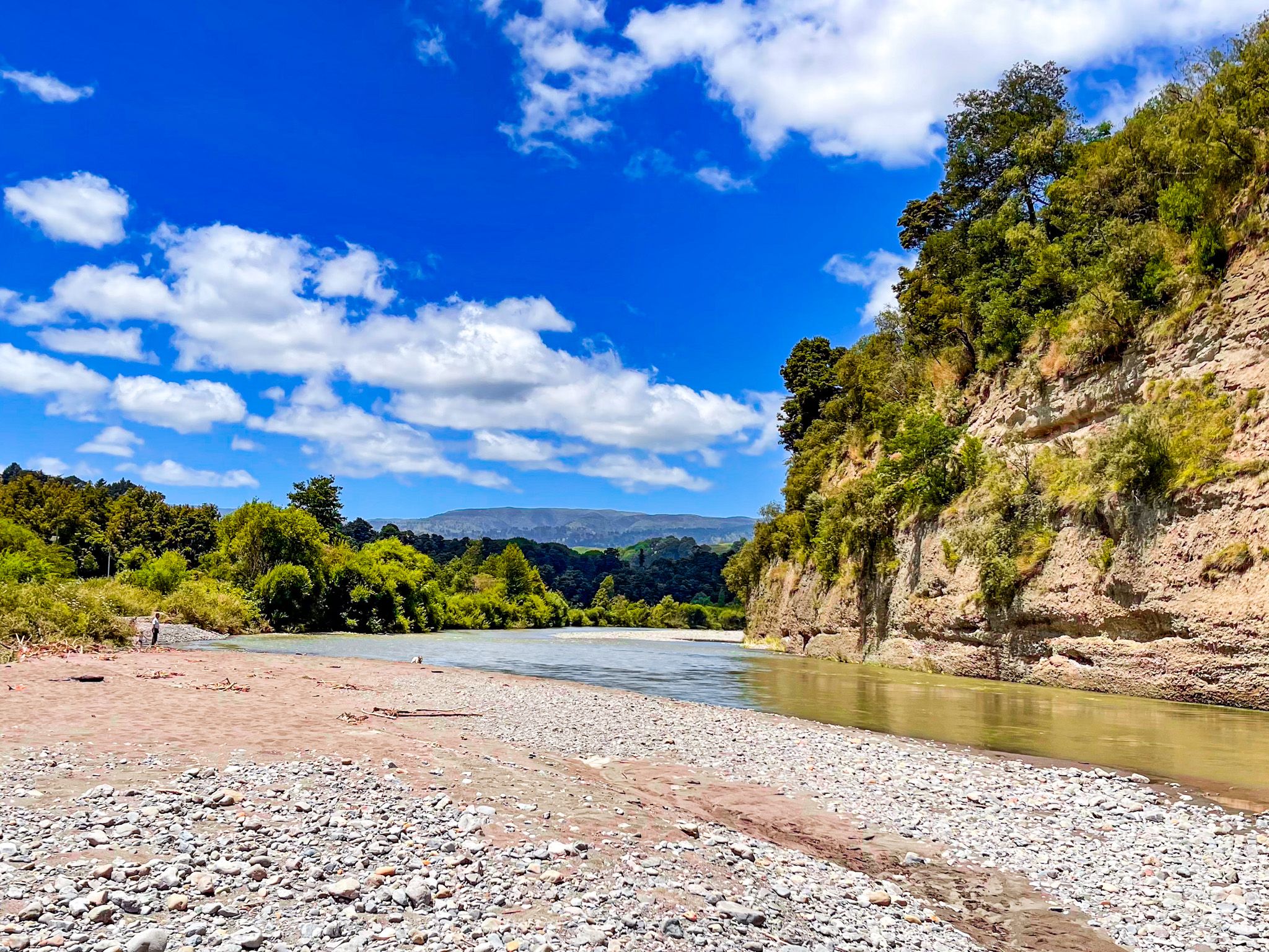
There are two campgrounds in the reserve, both beside the Pohangina River. Kererū is the larger, adjacent to Camp Rangi Woods, with powered and non-powered sites, hot showers, electric barbecues, drinking water, toilets, and an adventure playground with river access. Kahikatea, across the road, is smaller and more secluded with similar facilities but a quieter atmosphere. Both are open from Labour Weekend to the end of April; bookings are required through the Tōtara Reserve Regional Park website. No dogs are permitted in the reserve.
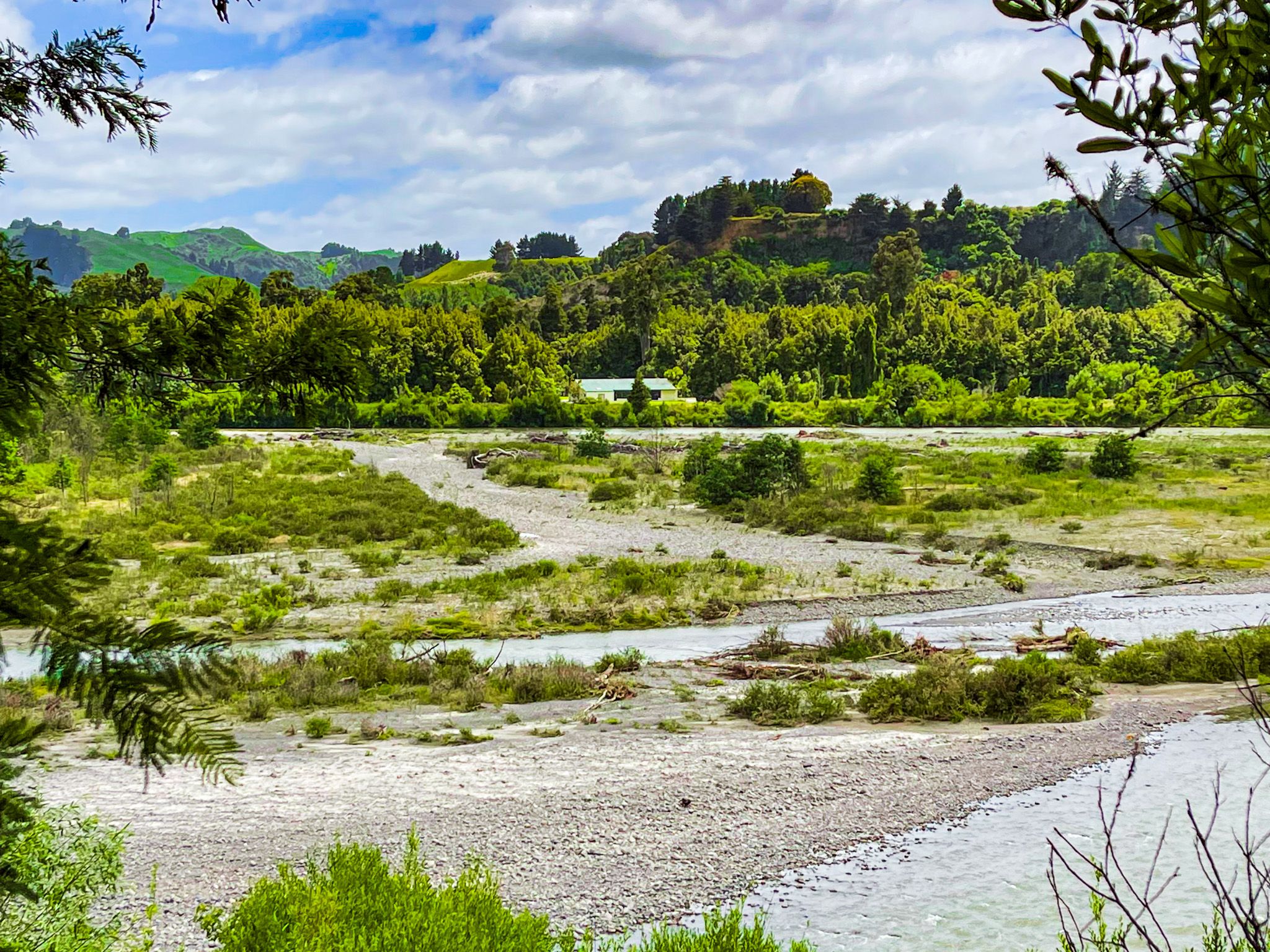
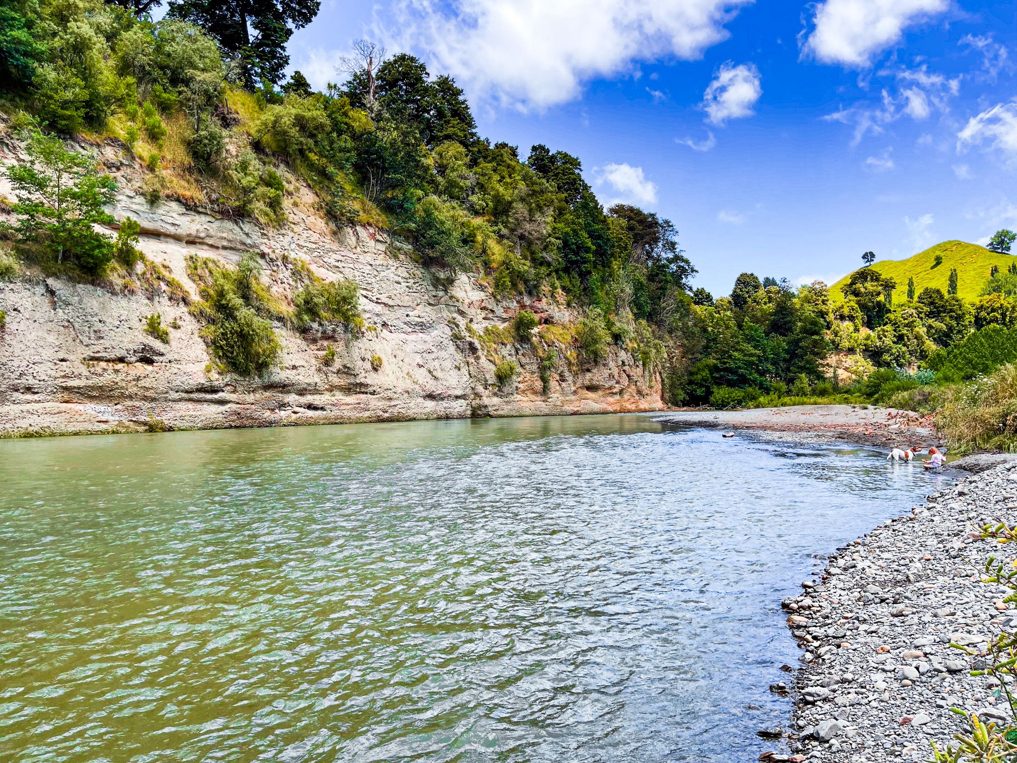
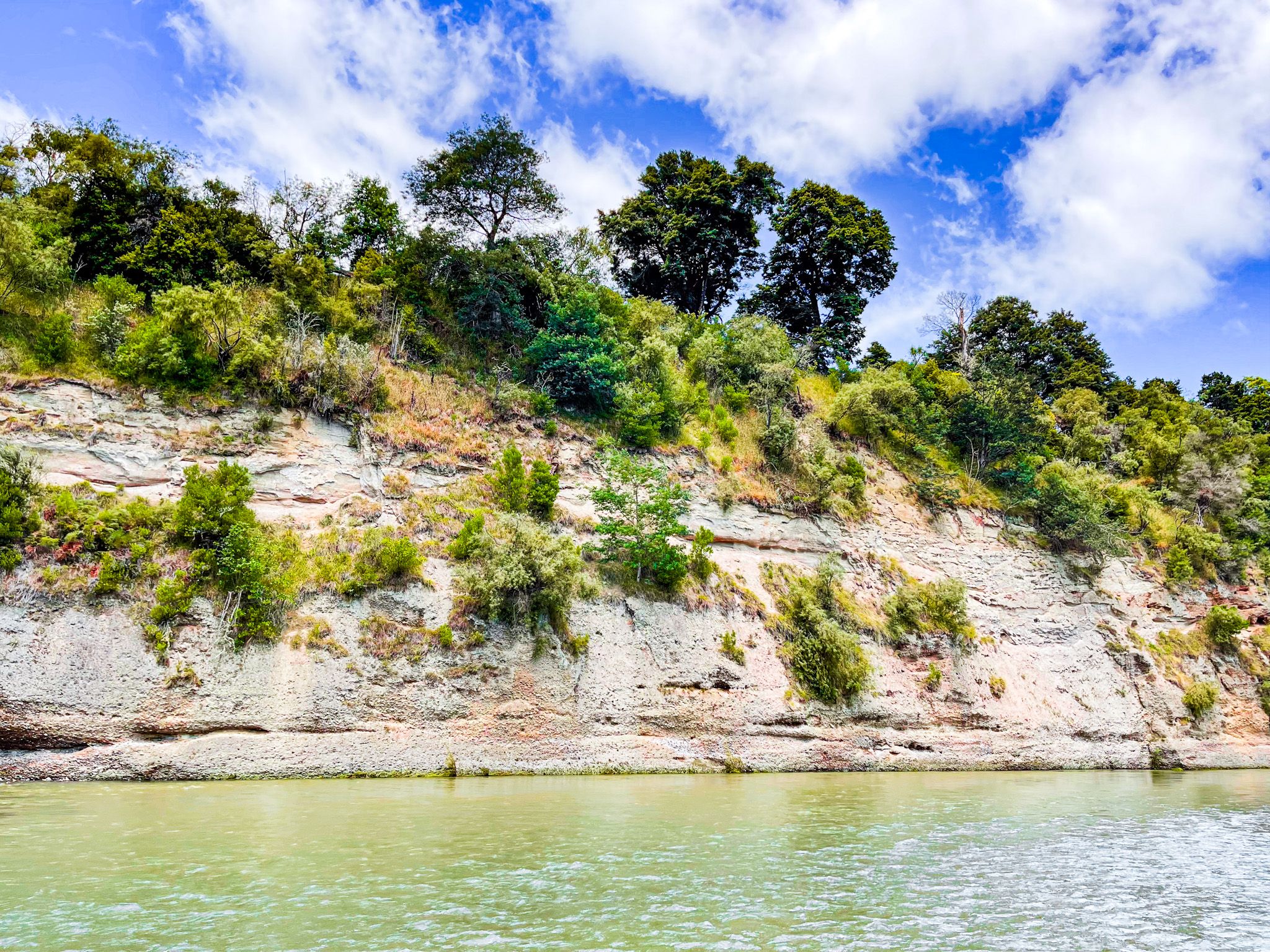
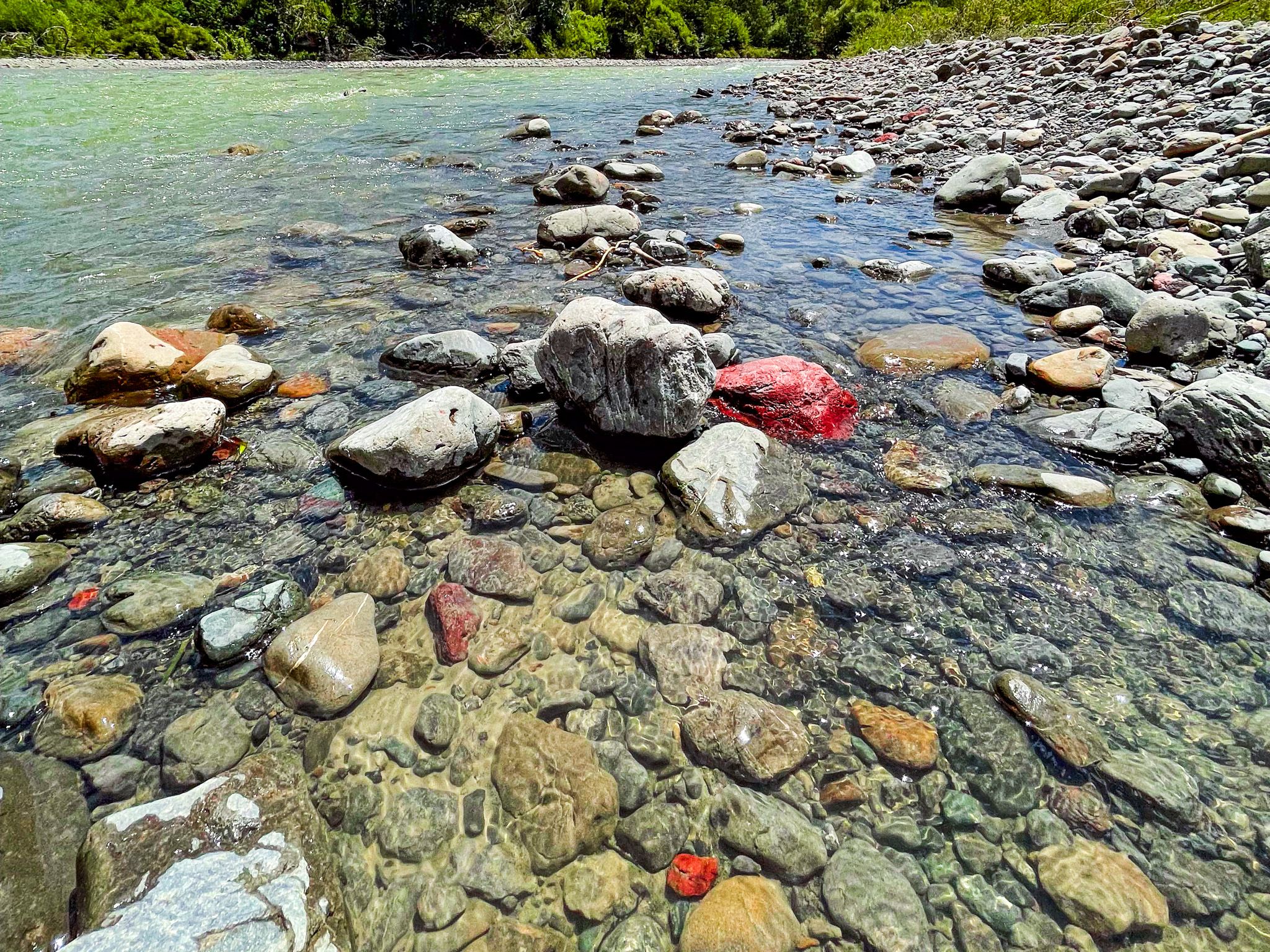
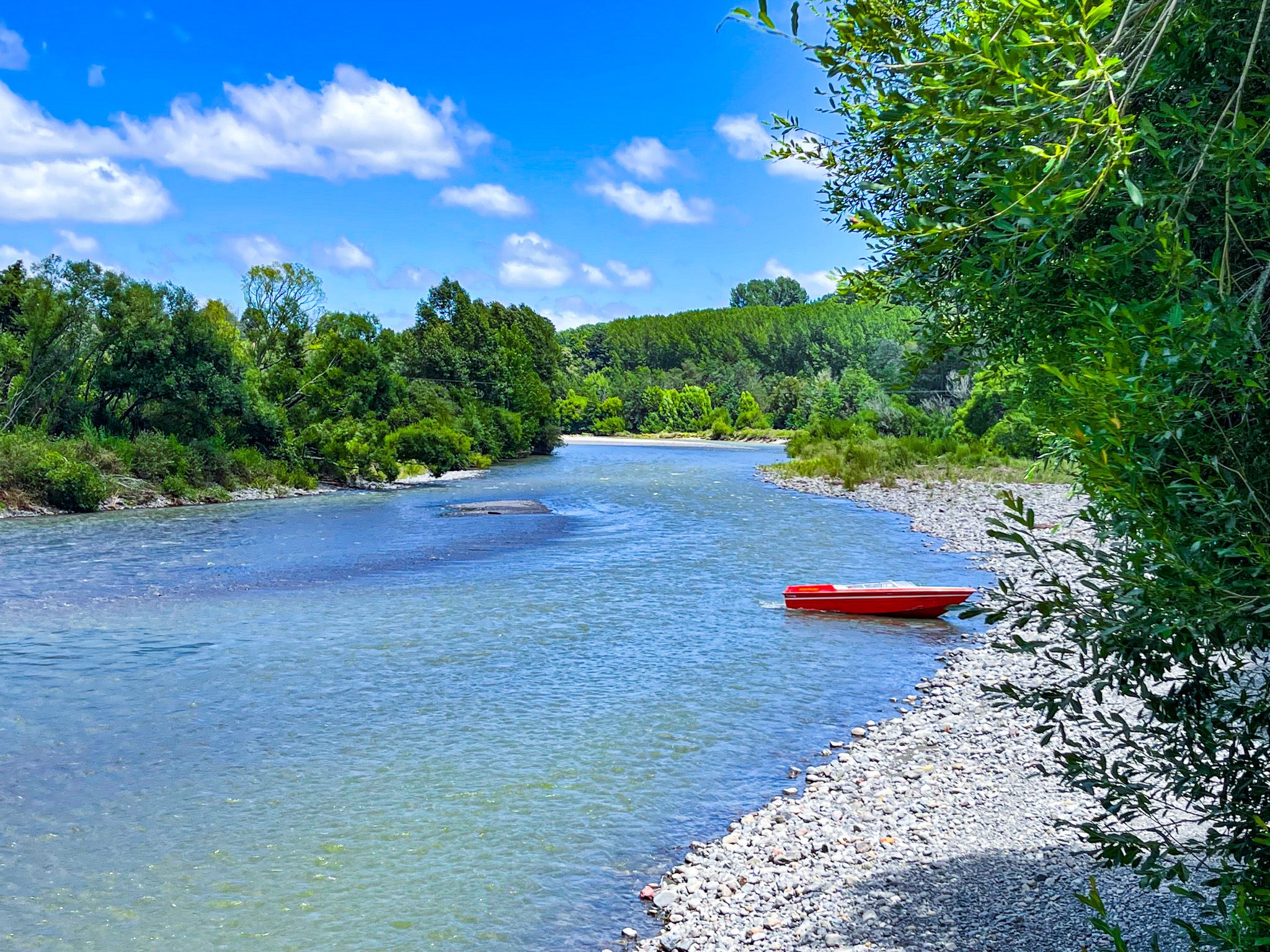
The Pohangina River alongside the campgrounds is a reliable summer swimming spot, with clear water over a shingle bed. Fishing for brown and rainbow trout is popular from the river banks.
How to Get There
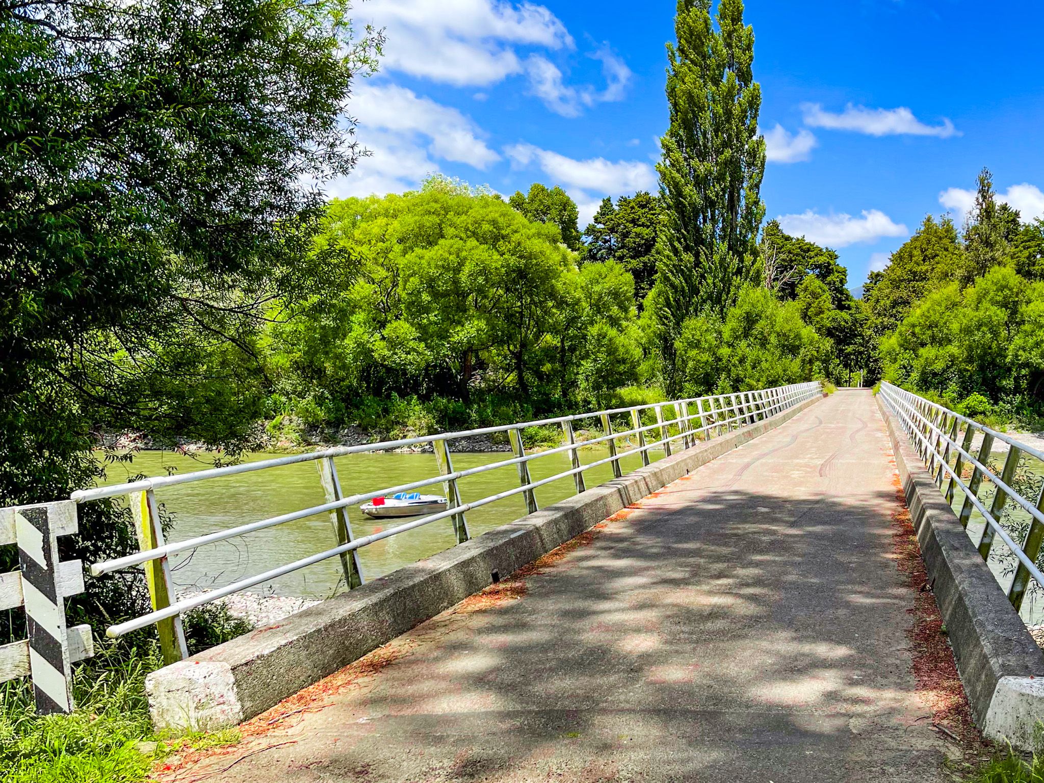
From Palmerston North, take State Highway 3 east to Ashhurst, then head north on Pohangina Road and turn right onto Pohangina Valley East Road. The reserve is signposted along Pohangina Valley East Road; it is 41 km and takes about 40 minutes from Palmerston North. An alternative, also sealed, approach is via Churchill Drive off Pohangina Valley East Road, which crosses a bridge near the campgrounds.
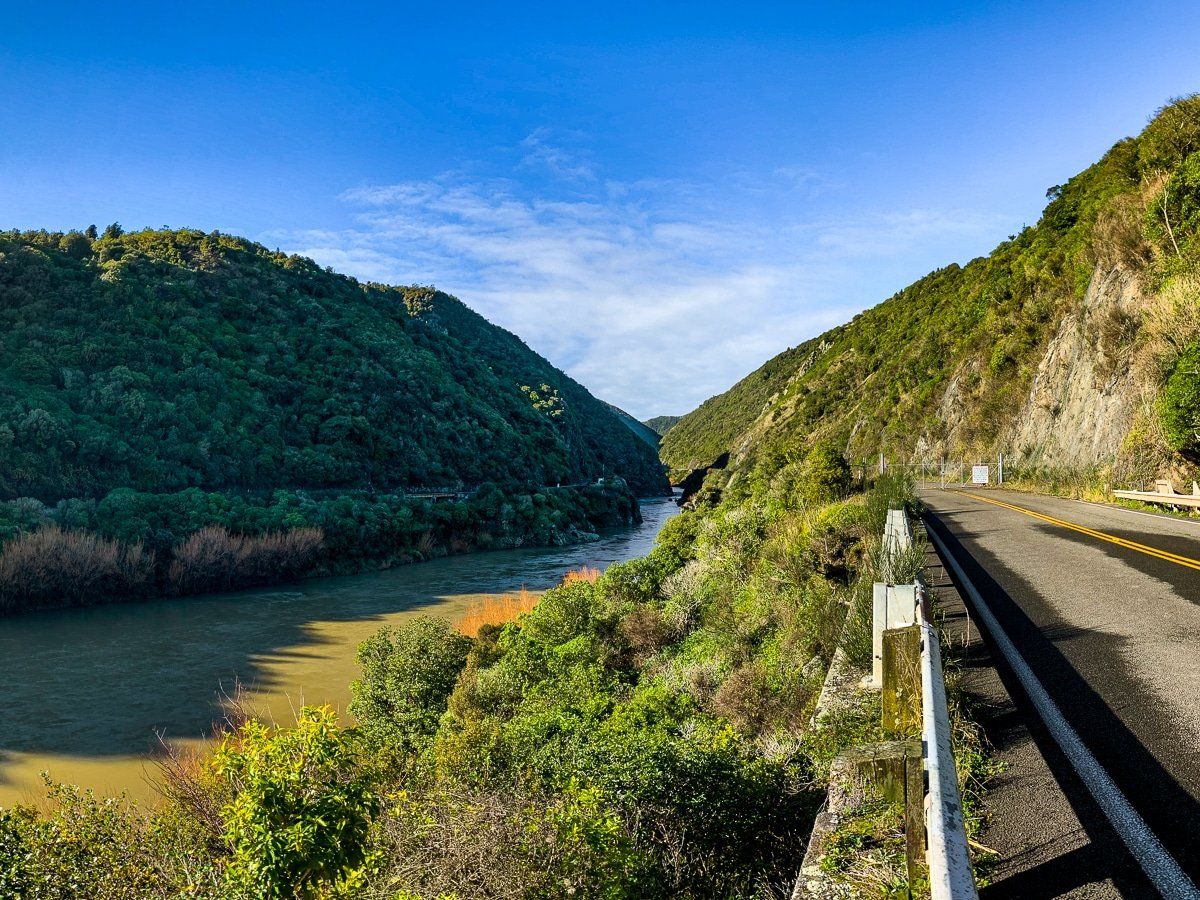
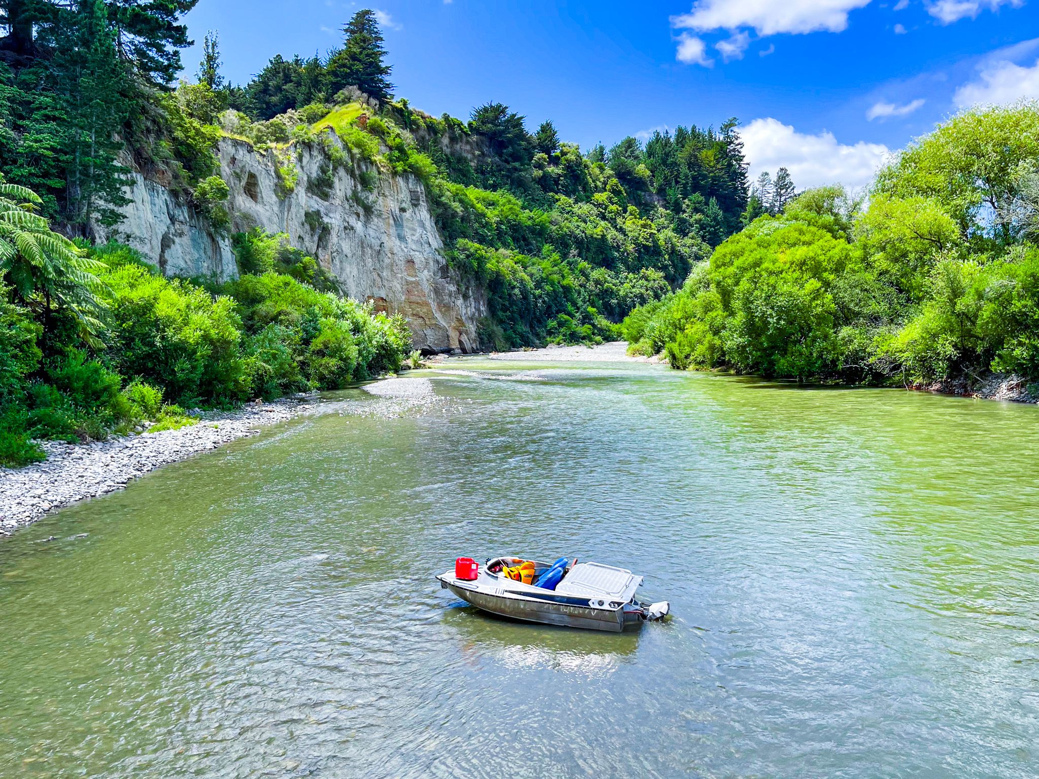
Nearby places to visit include Iron Gate Gorge and the option of continuing on the Manawatū Scenic Route on Ruahine Road to the Ruahine Dress Circle and Managaweka.