A Papa Rock Amphitheatre
The Ruahine Dress Circle is one of northern Manawatū's best-kept secrets, a river swimming hole and picnic spot tucked into a natural papa rock amphitheatre off Ruahine Road, about 11 km south of the Mangaweka Bridge. The name was given by early European settlers who, looking up at the curved papa rock cliffs enclosing the spot on three sides, thought the formation resembled the curved upper gallery of an opera house - the dress circle.
The Viewpoint
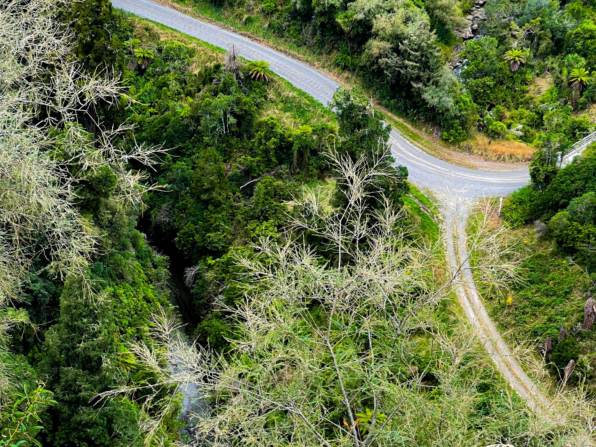
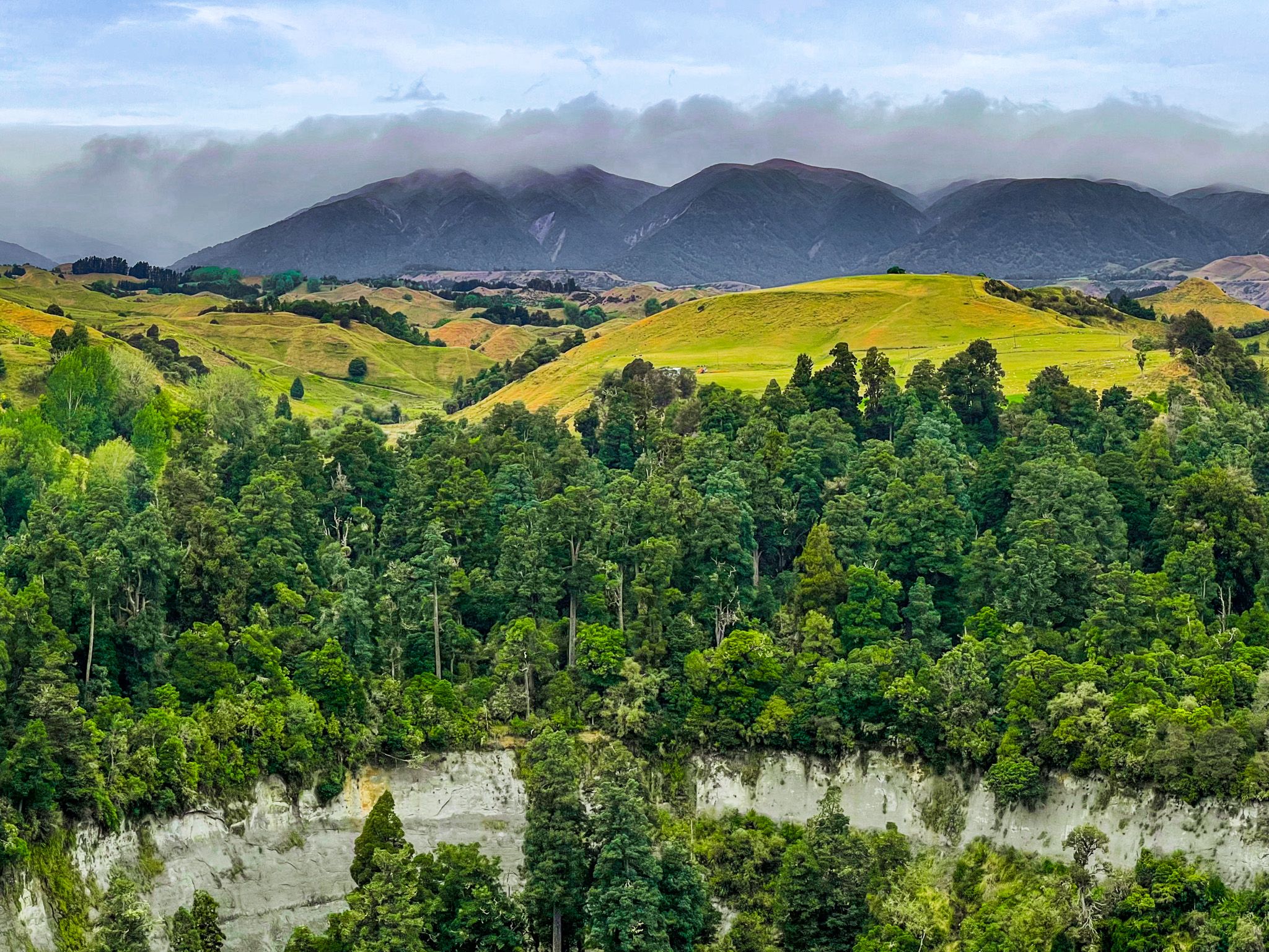
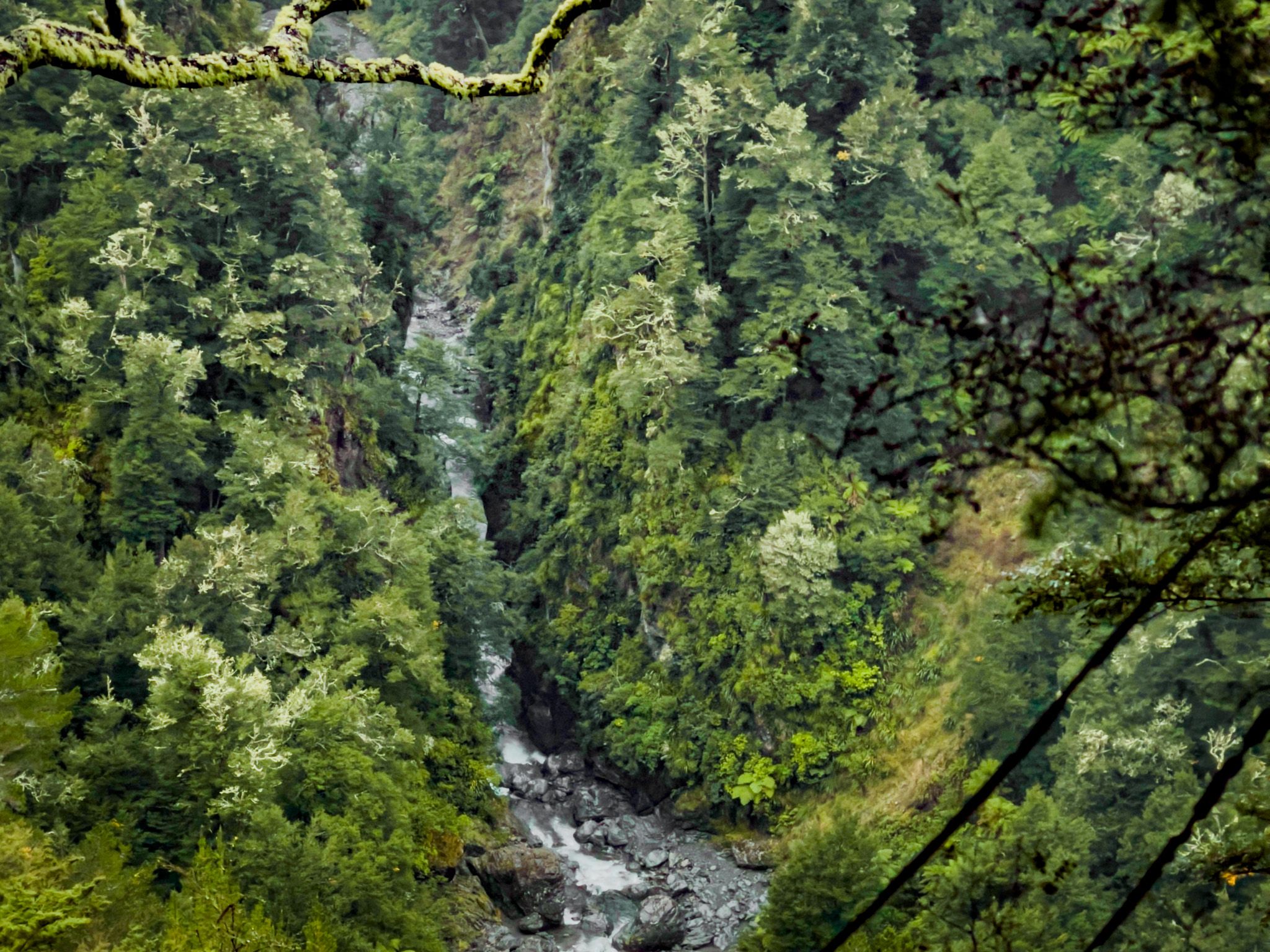
As you approach the reserve on Ruahine Road, you will spot a roadside viewpoint. Park there for an excellent view over the amphitheatre and across the background hills to the Ruahine Range. There is an information board that describes the nature of papa pock, the history of the Dress Circle, and the wider Ruahine area. A particularly interesting element is the dramatic changes to the rock faces, waterfalls, and swimming holes around the Dress Circle over time, with flooding significantly impacting the papa rock faces and altering the locations and extent of the stream's features.
Swimming Holes and Waterfalls
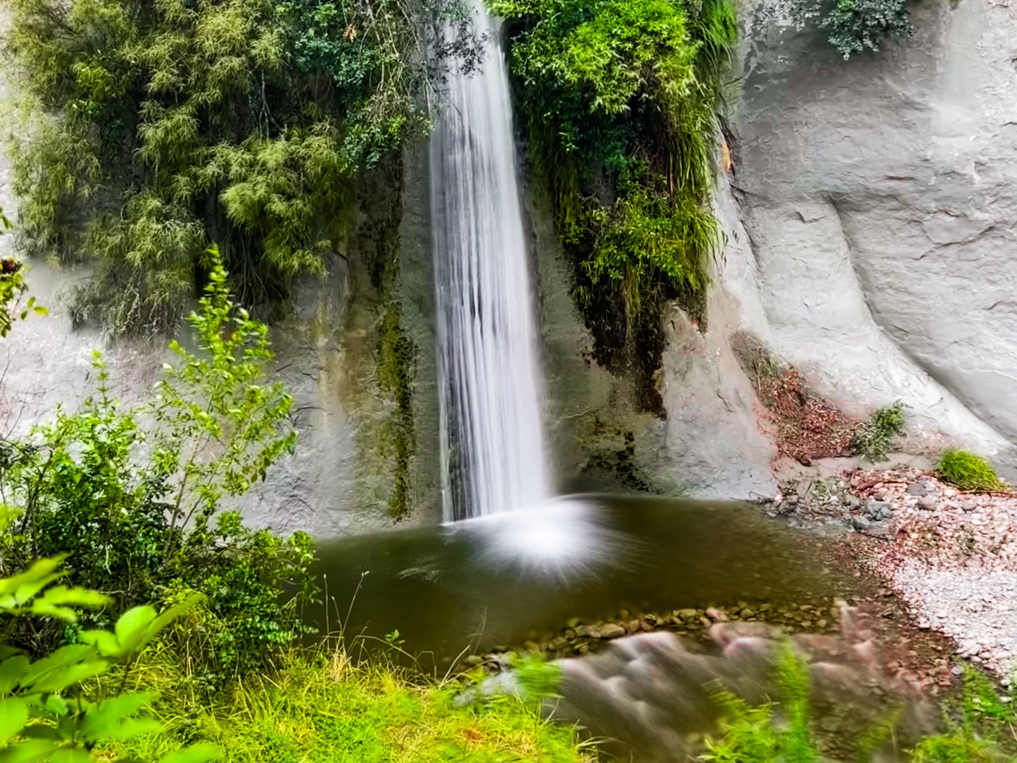
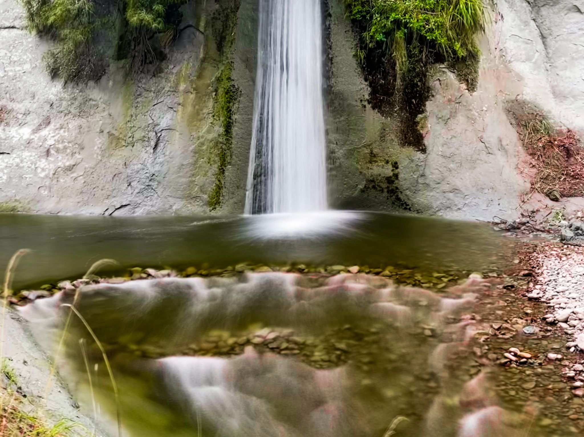
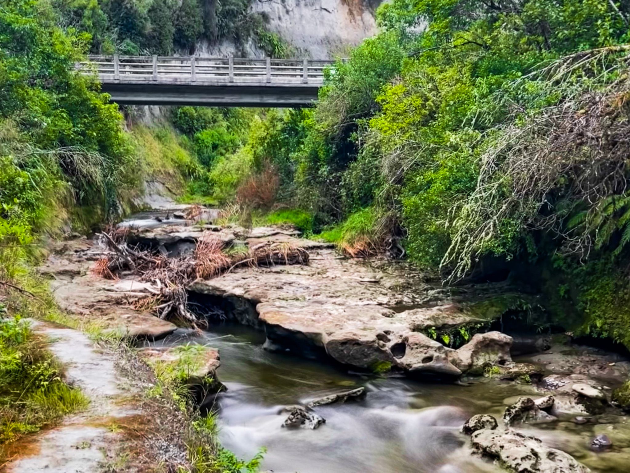
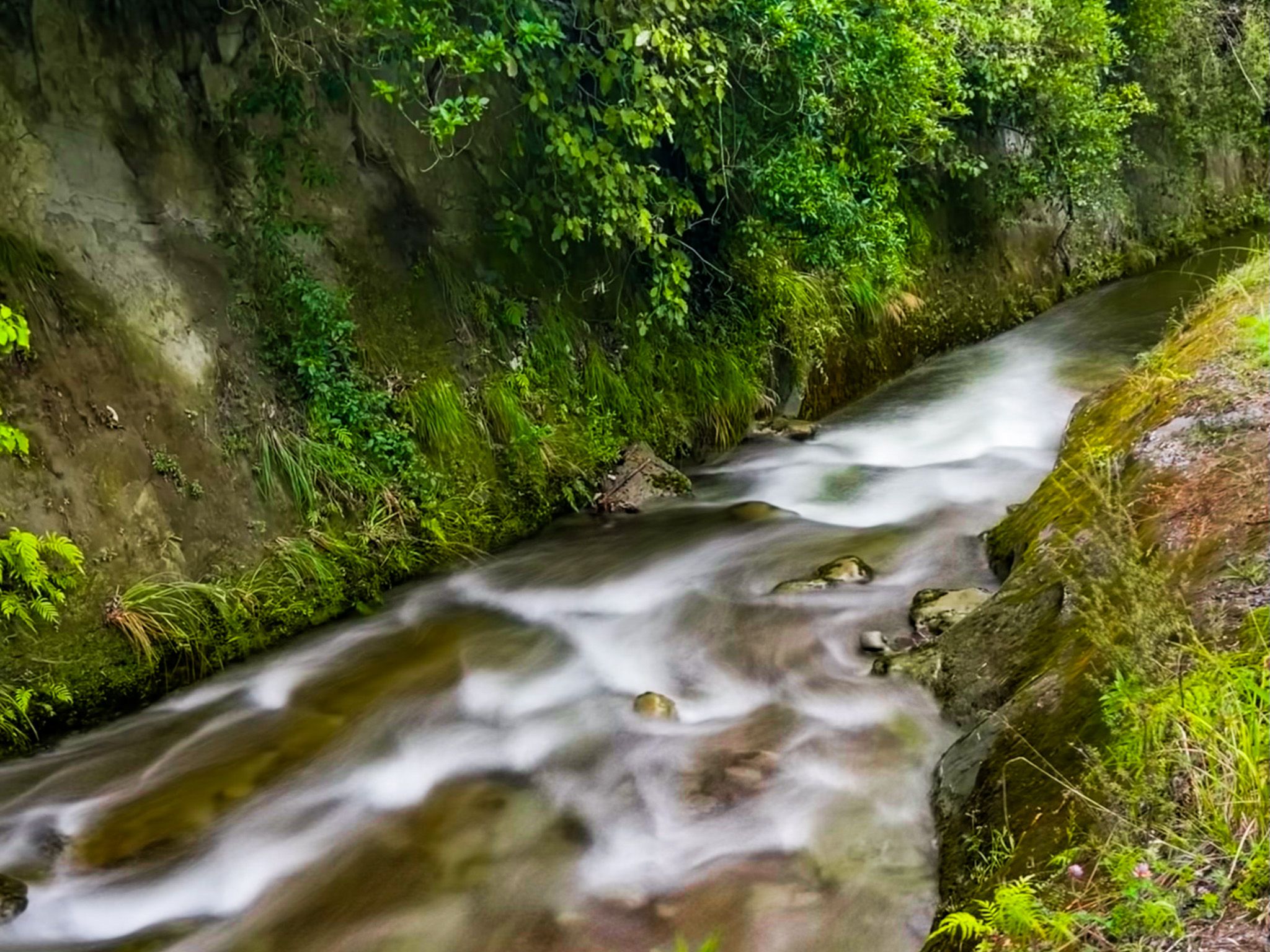
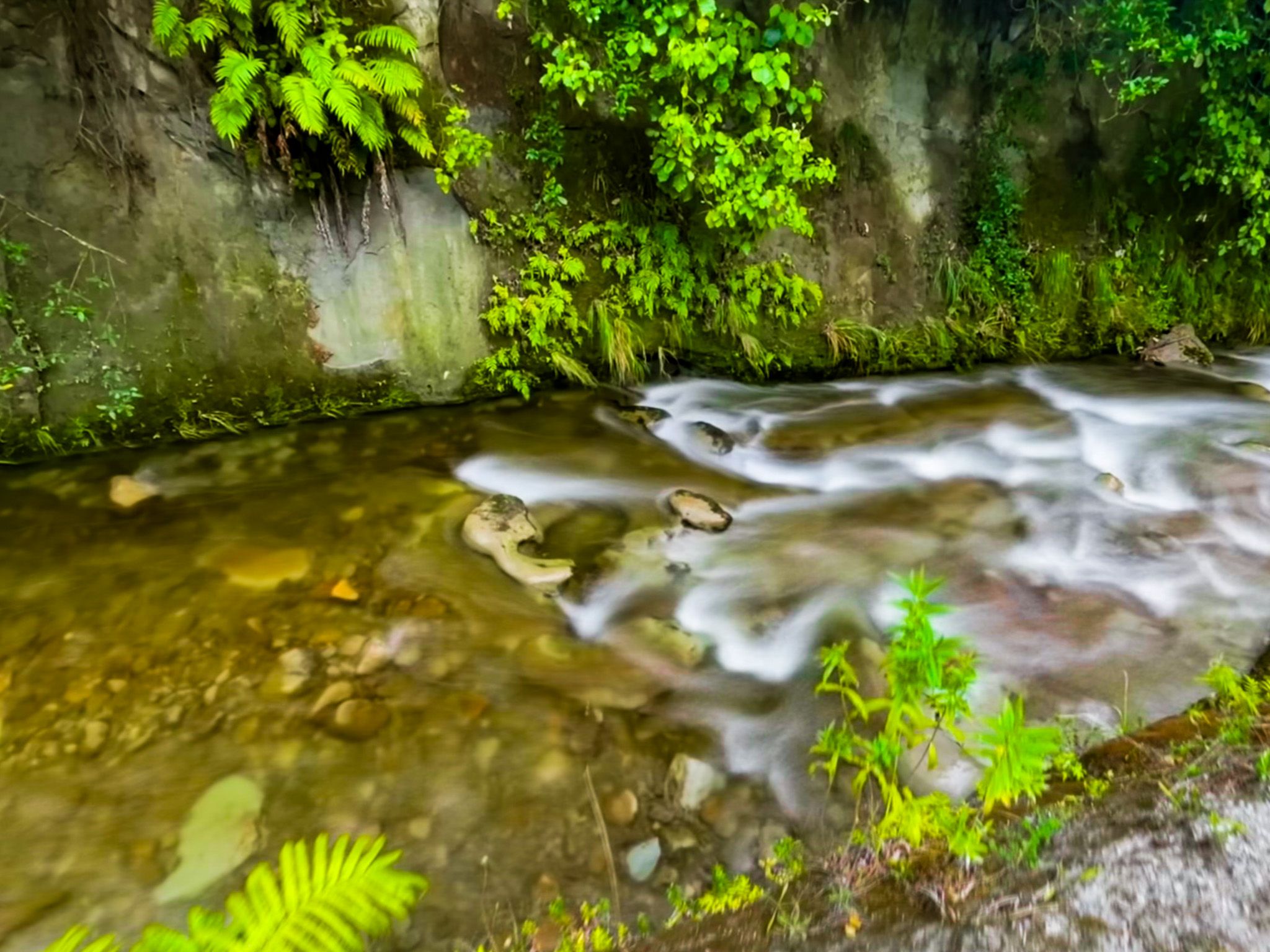
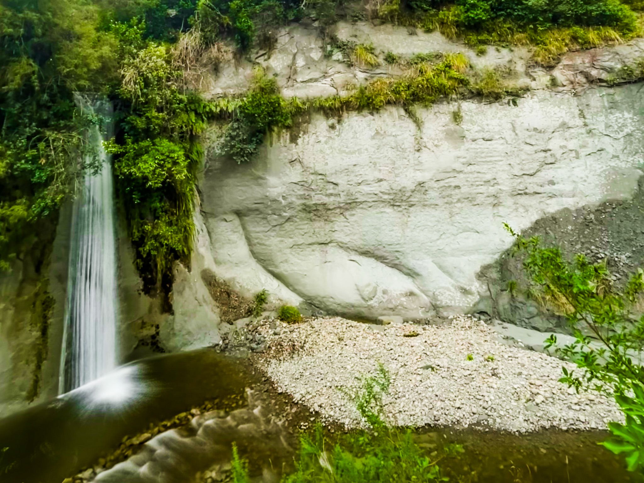
The Mangawharariki Stream, a tributary that runs from the Ruahine foothills, has cut a tight bend through soft papa rock. A side stream feeds a permanent waterfall directly above the main swimming hole, and the combination of falling water, enclosed cliff walls, and clear pool makes it immediately striking. A short distance downstream, a second wider waterfall drops into another deeper pool.
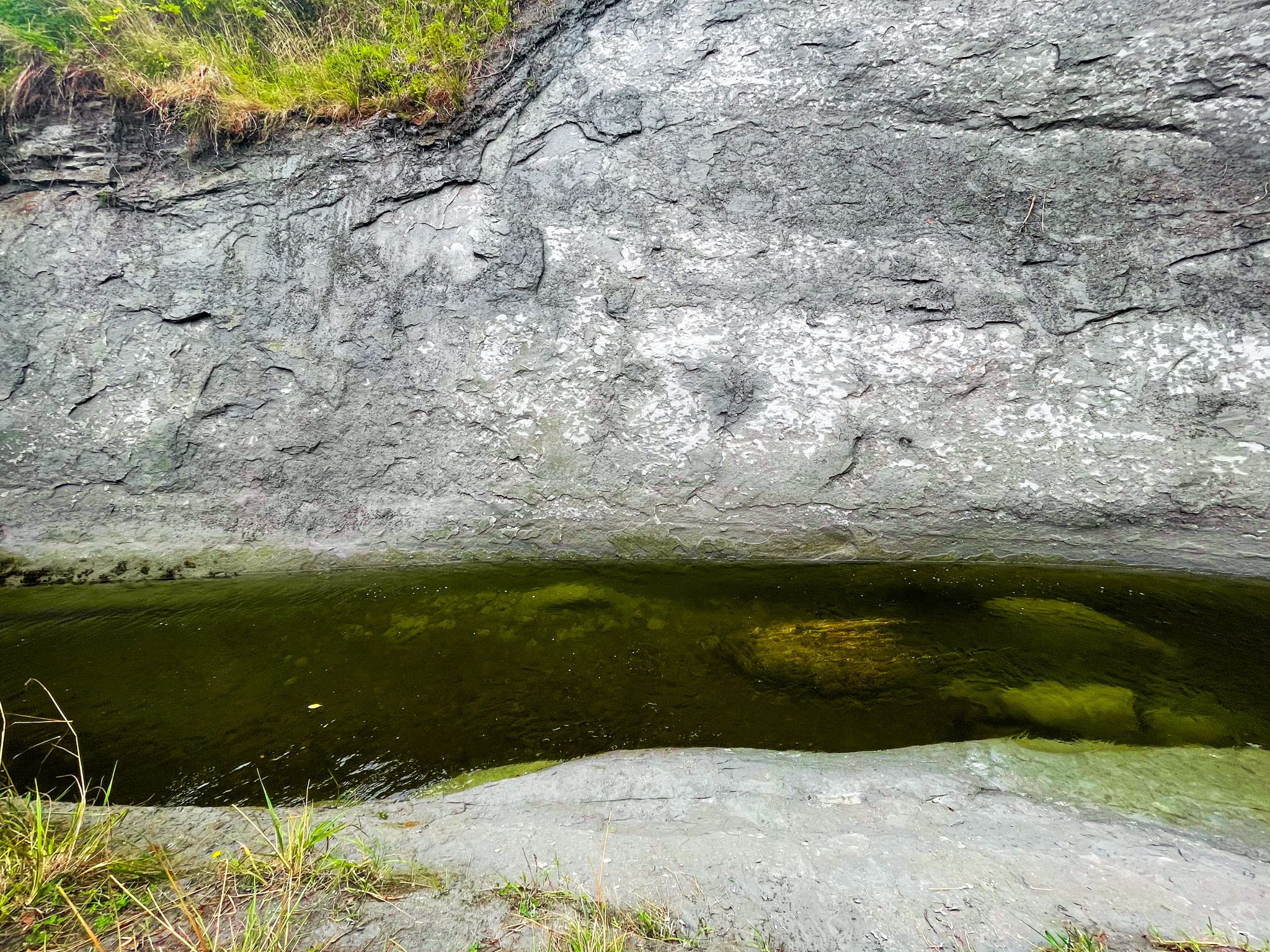
Walking upstream from the swimming hole reveals the papa rock in close detail. Soft and grey, it is riddled with solution holes and hollows where water has worked its way into the stone. In places, the rock face is smooth and laminated; in others, it has fractured into ragged overhangs. The formations are the same material as the great cliffs visible on Ruahine Road itself, seen here at water level and on a more intimate scale.
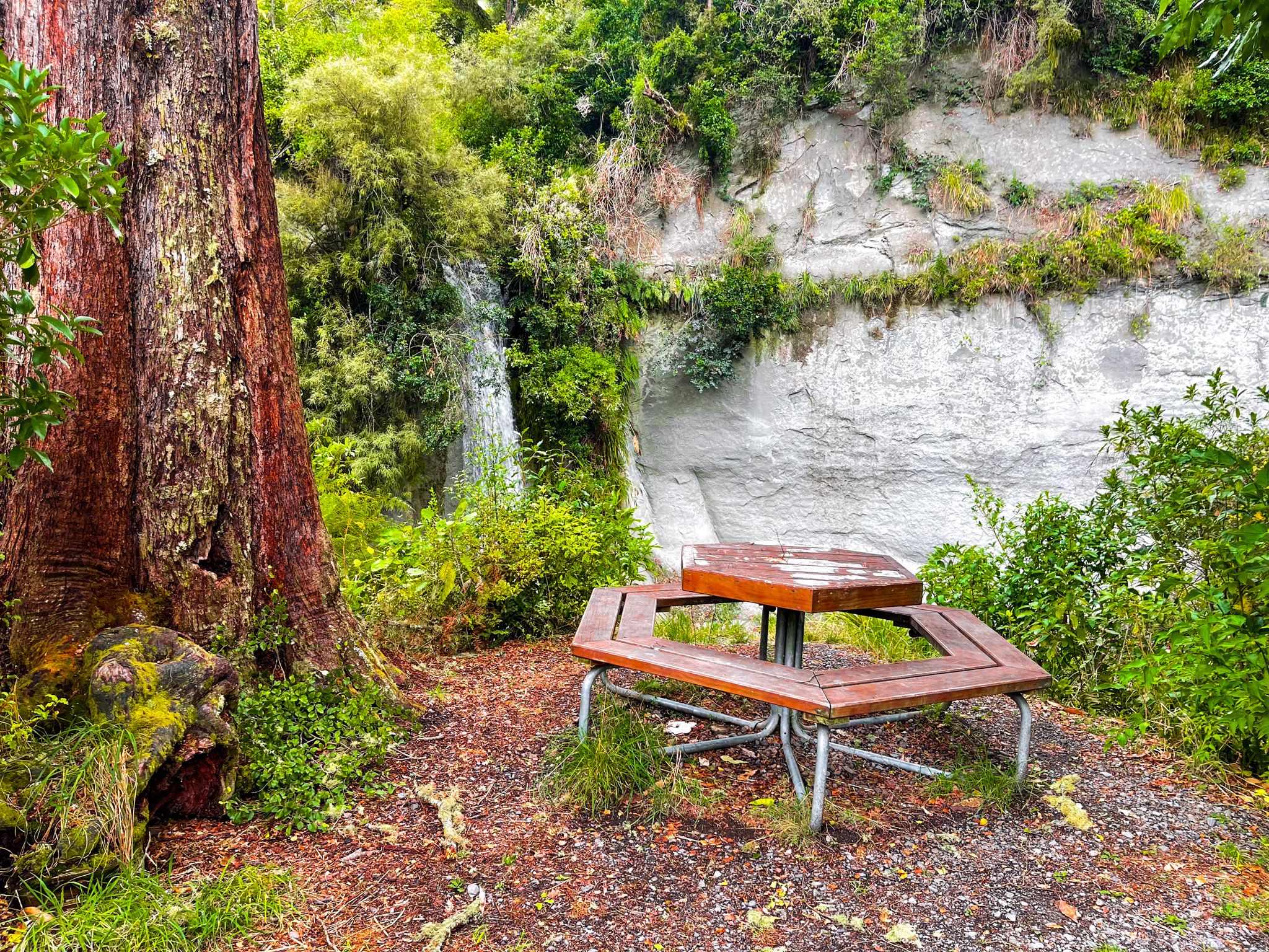
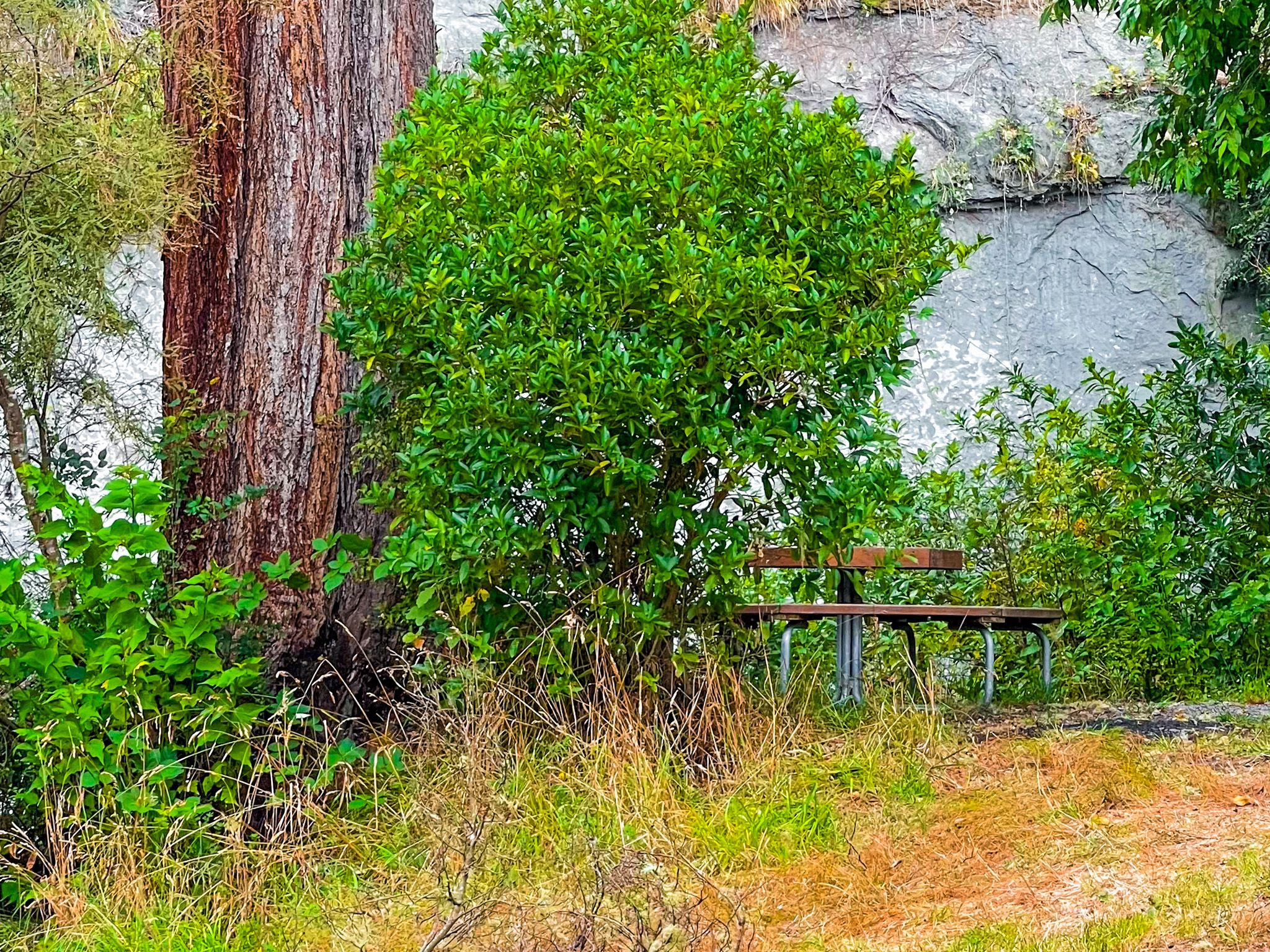
The reserve has a picnic area, with grassed flats beside the stream, suitable for a Summer lunch. Note that the nearest public toilets are in Rangiwahia village, and avoid swimming after heavy rain due to the potential impact on water quality.
How to get there
From Ruahine Road, approximately 14 km and 20 minutes south of Mangaweka on State Highway 1, turn onto Kelpie Road and then left onto Lagoon Road. Cross the bridge and follow the rough access road to the end by the picnic spot. The first swimming hole and waterfall are visible from there.
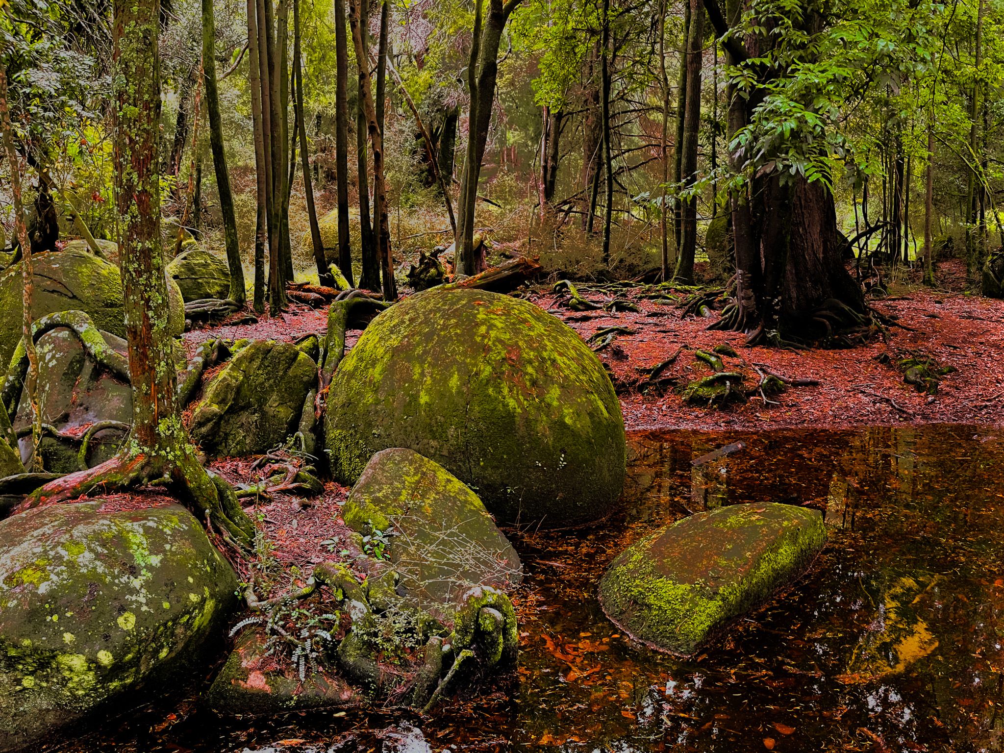
Nearby places to visit include the Iron Gate Gorge Track and Tōtara Reserve Regional Park.