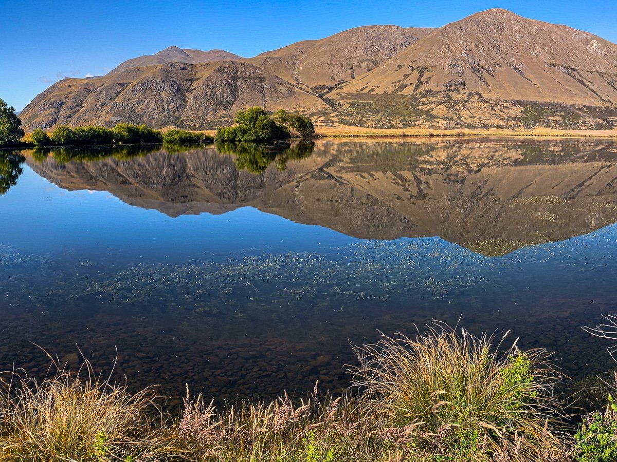
Discover Lake Emma / Kirihonuhonu
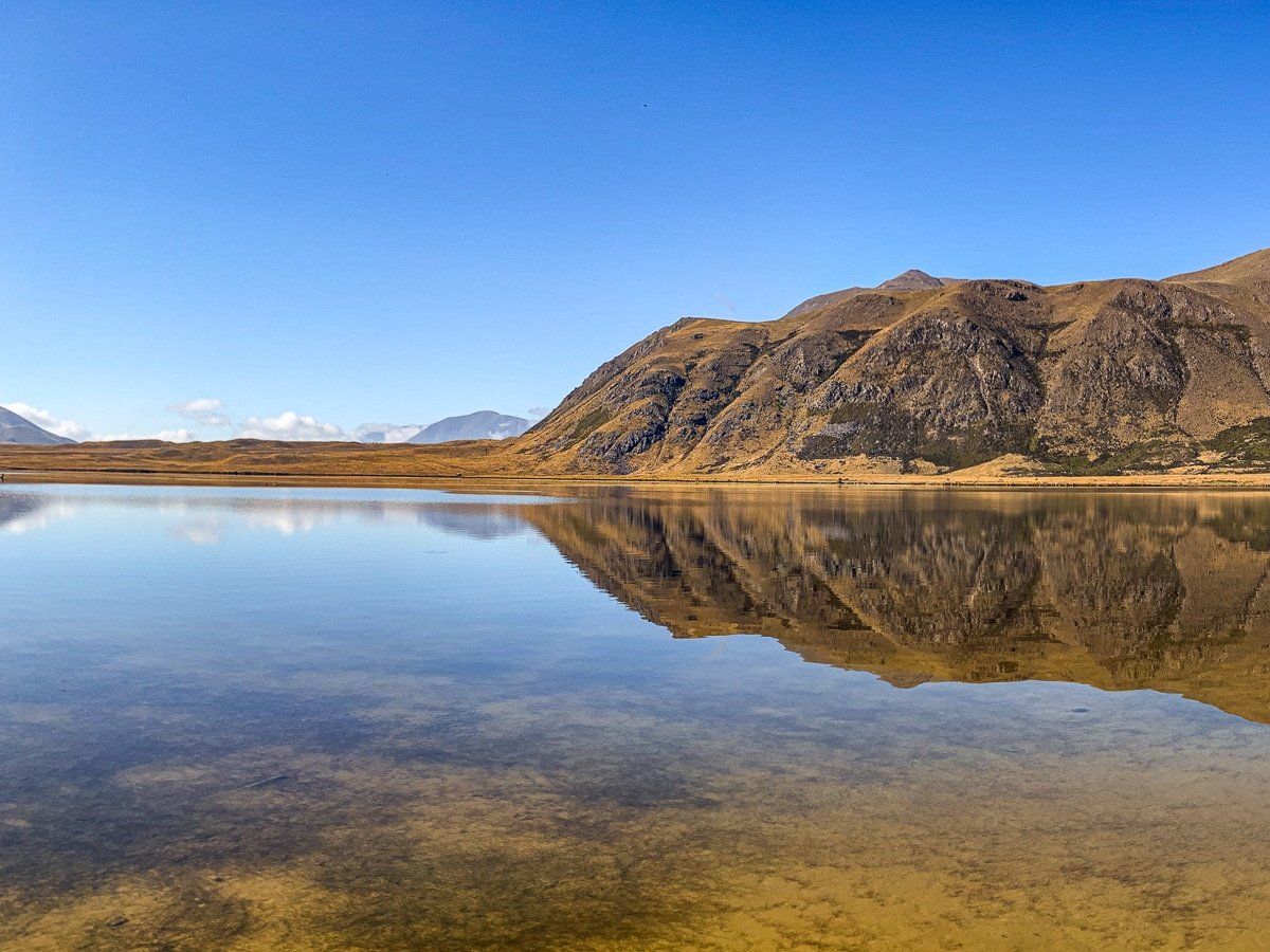
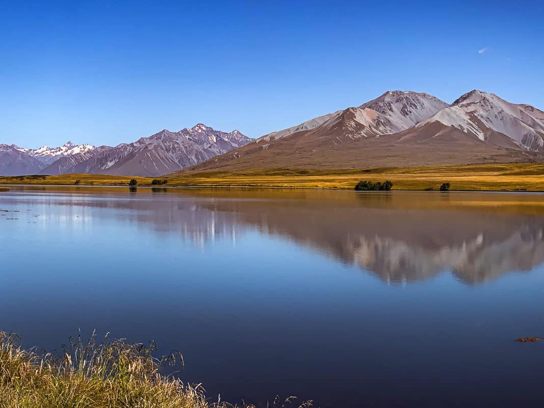
Lake Emma, also known as Kirihonuhonu, is located within the Hakatere Conservation Park, making it one of the first of the Ashburton Lakes you encounter upon entering the park. This lake, while moderate in size, is particularly scenic and an ideal spot for a picnic. Historically, it served as an important food source for Ngāi Tahu, and today, it remains a popular trout-fishing location during the season.
Driving and Walking to Lake Emma
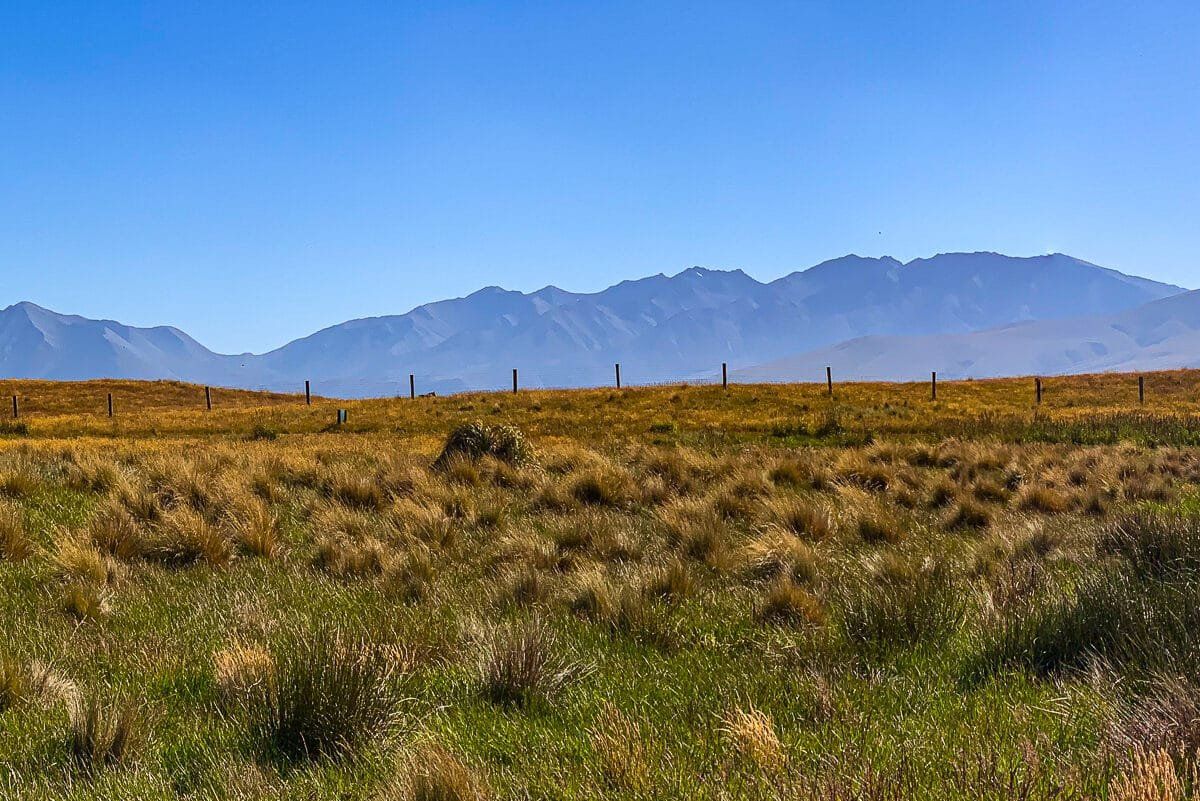
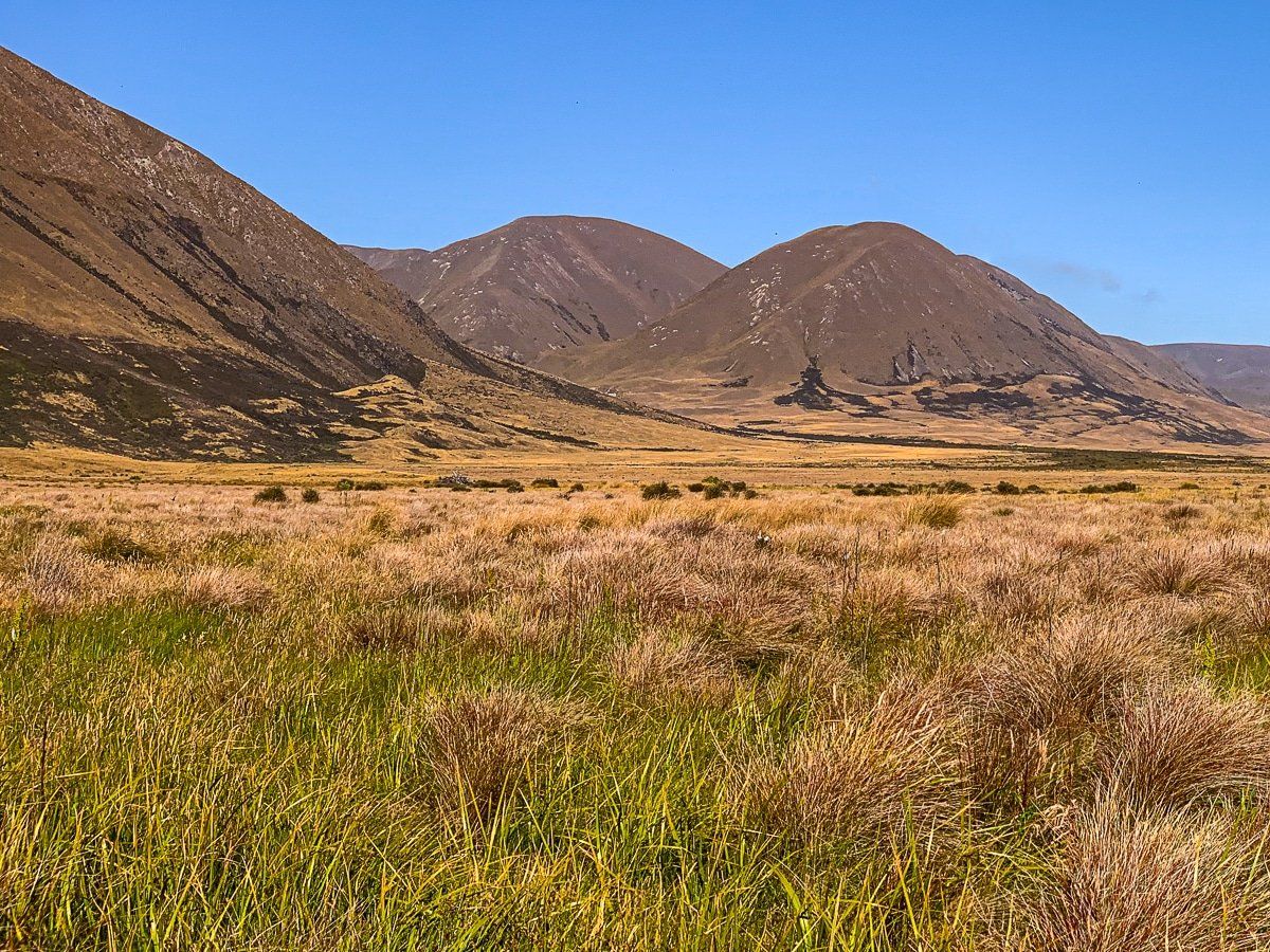
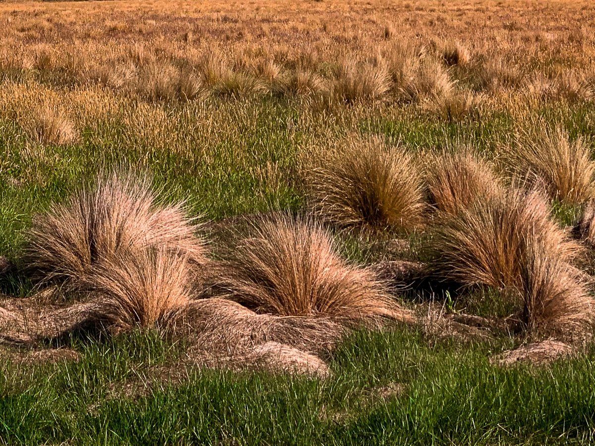
The lake is a 1.5 km sidetrip along a basic dirt road from Hakatere Potts Road. You will probably be able to drive most of the way, and walk the rest. It is a tranquil setting for a leisurely walk, surrounded by tussock grass. The lake is at 654 metres above sea level, with the dramatic 1,700-metre Harper Range to the southwest.
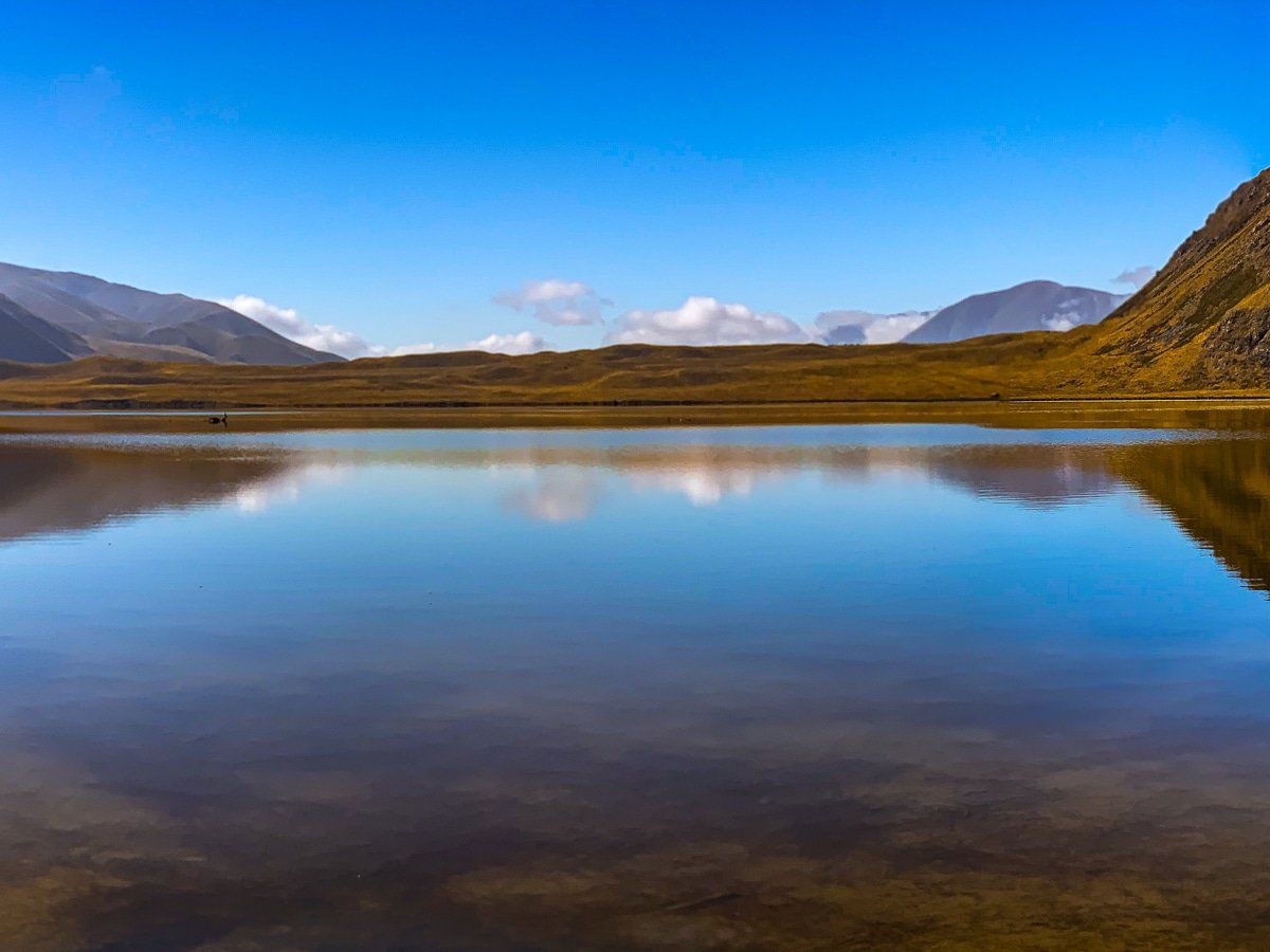
On a fine, still day, the lake is incredibly photogenic, with the golden tussocks, hills, and mountains standing out against the blue lake and sky.
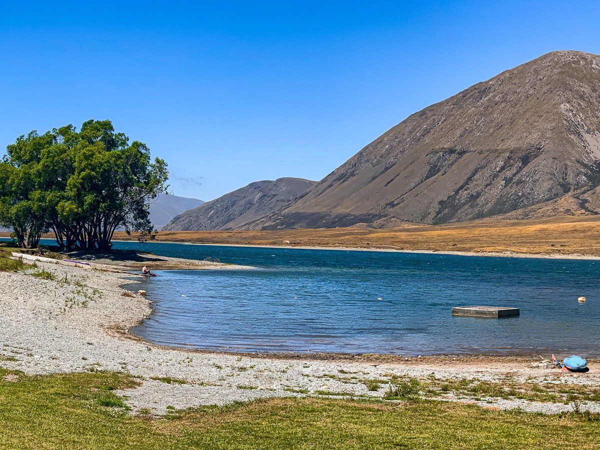
It is also a short sidewalk from the access road to the much smaller, but very pretty, Lake Roundabout.
How to Get There
To reach the Hakatere from Christchurch, take State Highway 1 southwest, then head west on Thompson Track to Tramway Road. At Tramway Road, continue west to Mount Somers. There, take Ashburton Gorge Road from the town of Mt Somers, then turn onto Hakatere Potts Road, which is the main access road into the park.
From Lake Emma, you can explore further by continuing on the main road to visit nearby Lake Camp Otautari and Lake Clearwater. Beyond this, you can continue on the road up the incredibly wide Rangitata River valley to Mt Sunday, a LOTR location. Further away and to the north, you can also discover the Māori Lakes and Lake Heron.