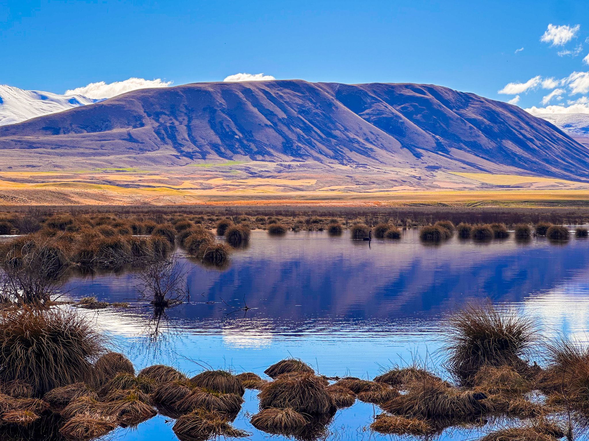
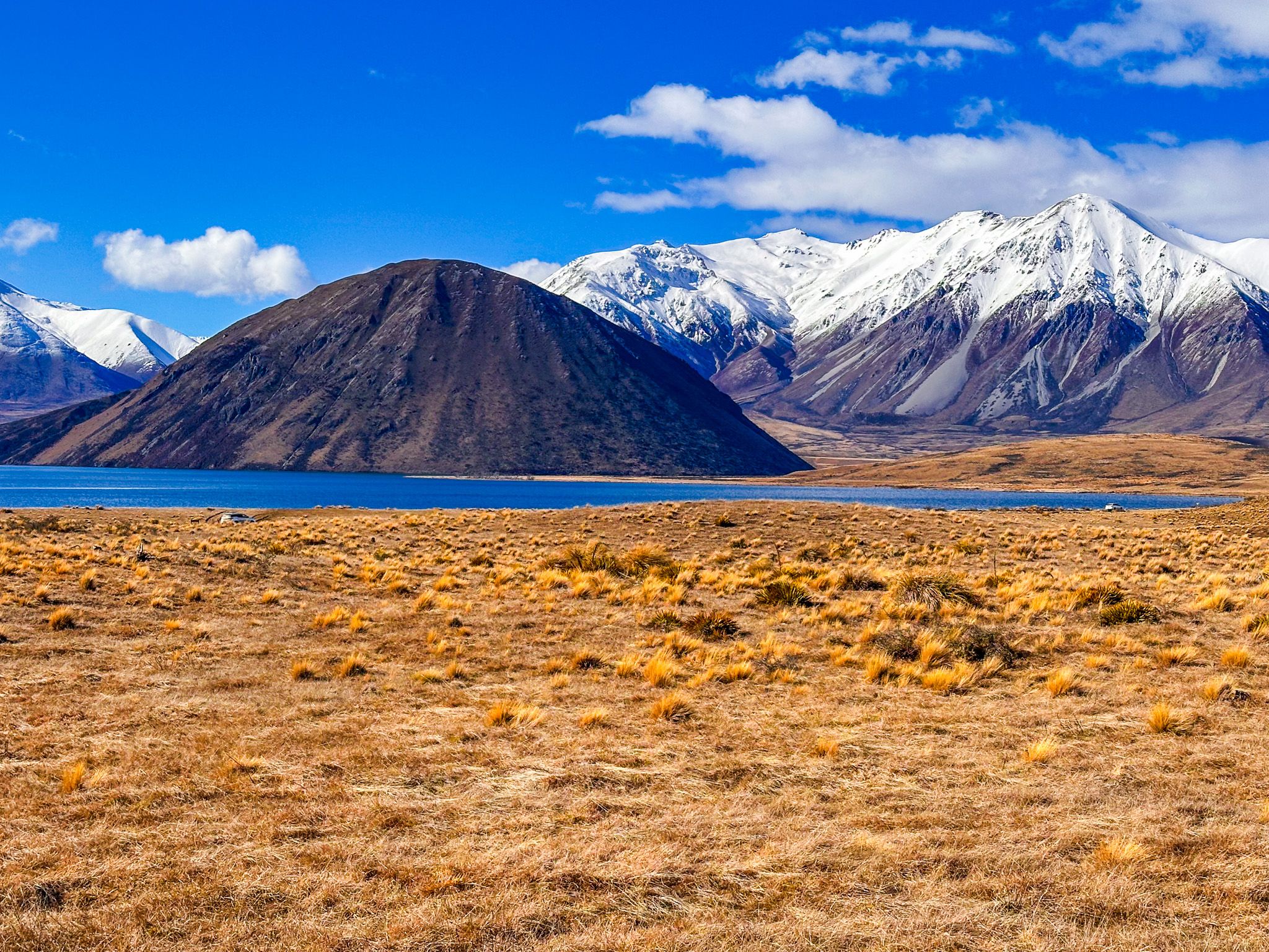
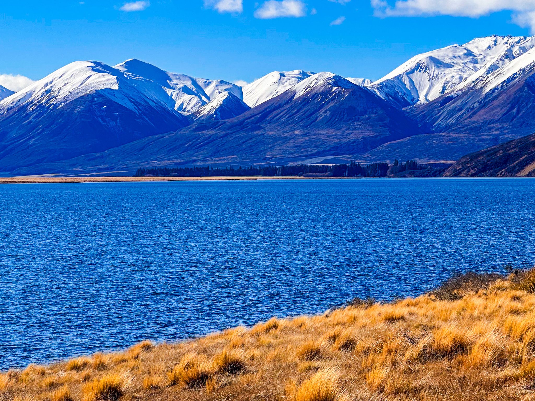
High-Country Lake in the Southern Alps
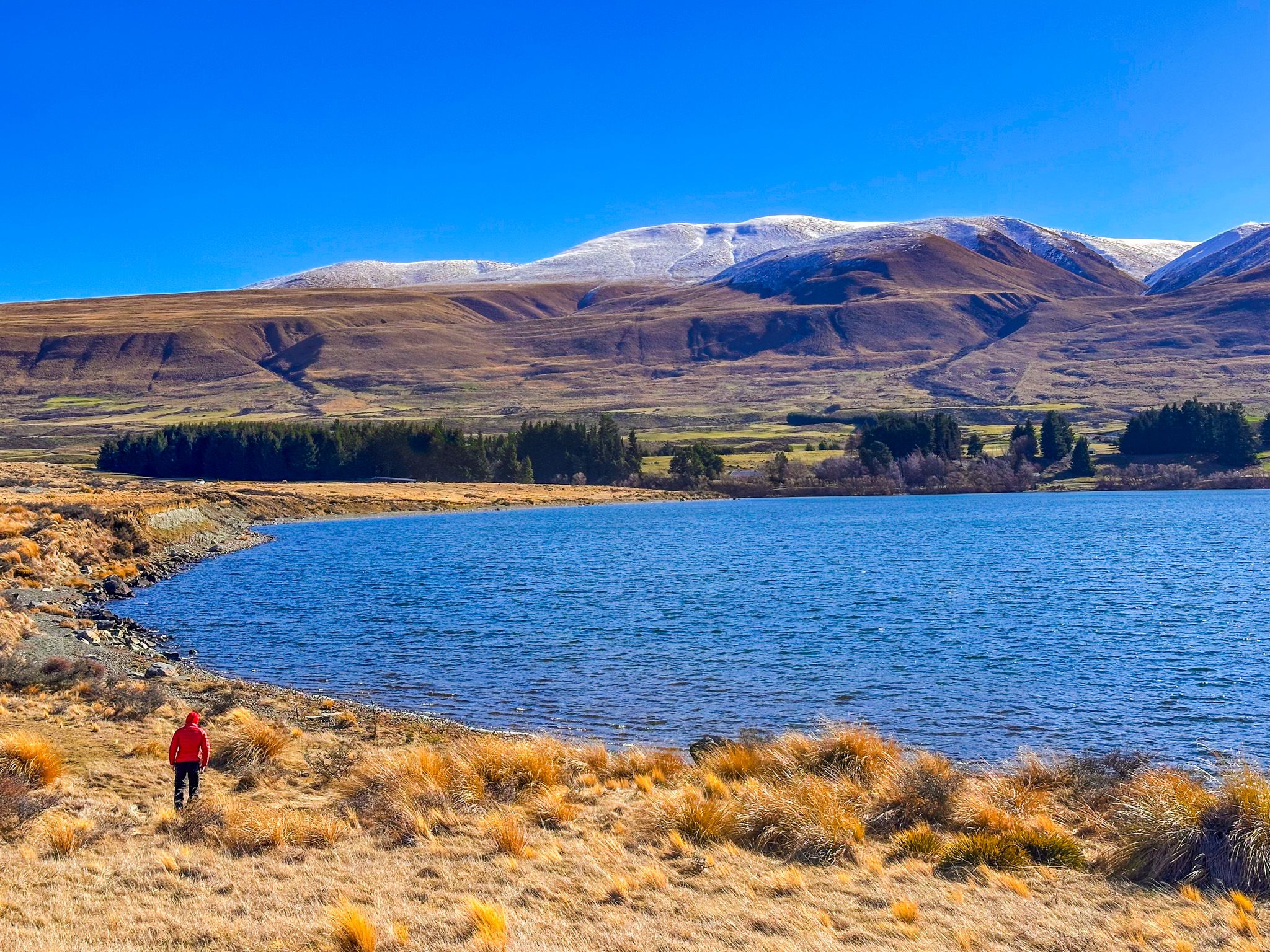
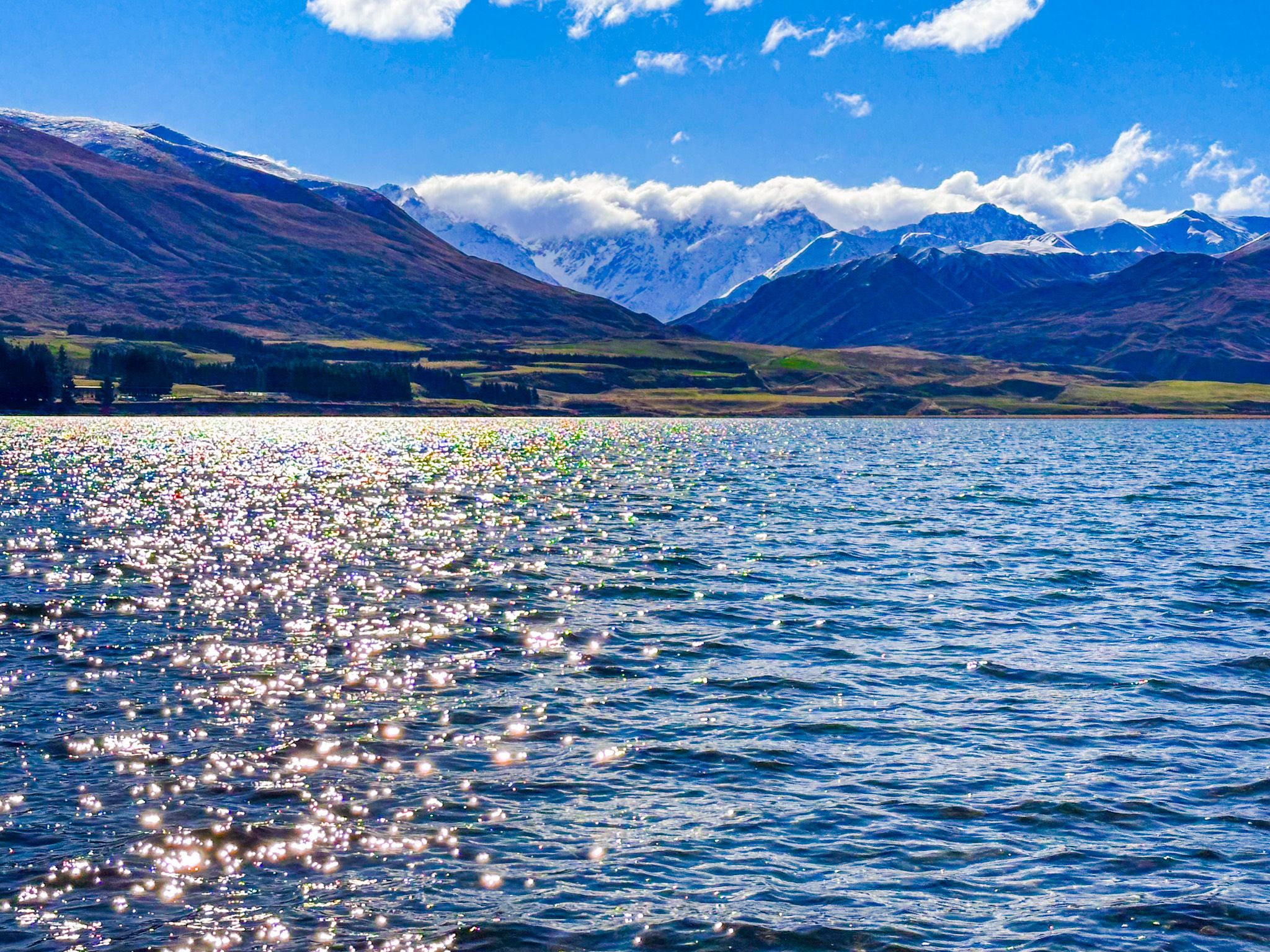
Lake Heron (Ōtū Roto) is the largest of the Ashburton Lakes, set deep inside Hakatere Conservation Park in Mid Canterbury. The lake sits at around 690 metres above sea level in a wide, open basin ringed by mountain ranges that hold snow well into Spring. The lake covers 695 hectares and is 37 metres at its deepest point, and on a calm morning, the water reflects the peaks behind it with the clarity of a mirror.
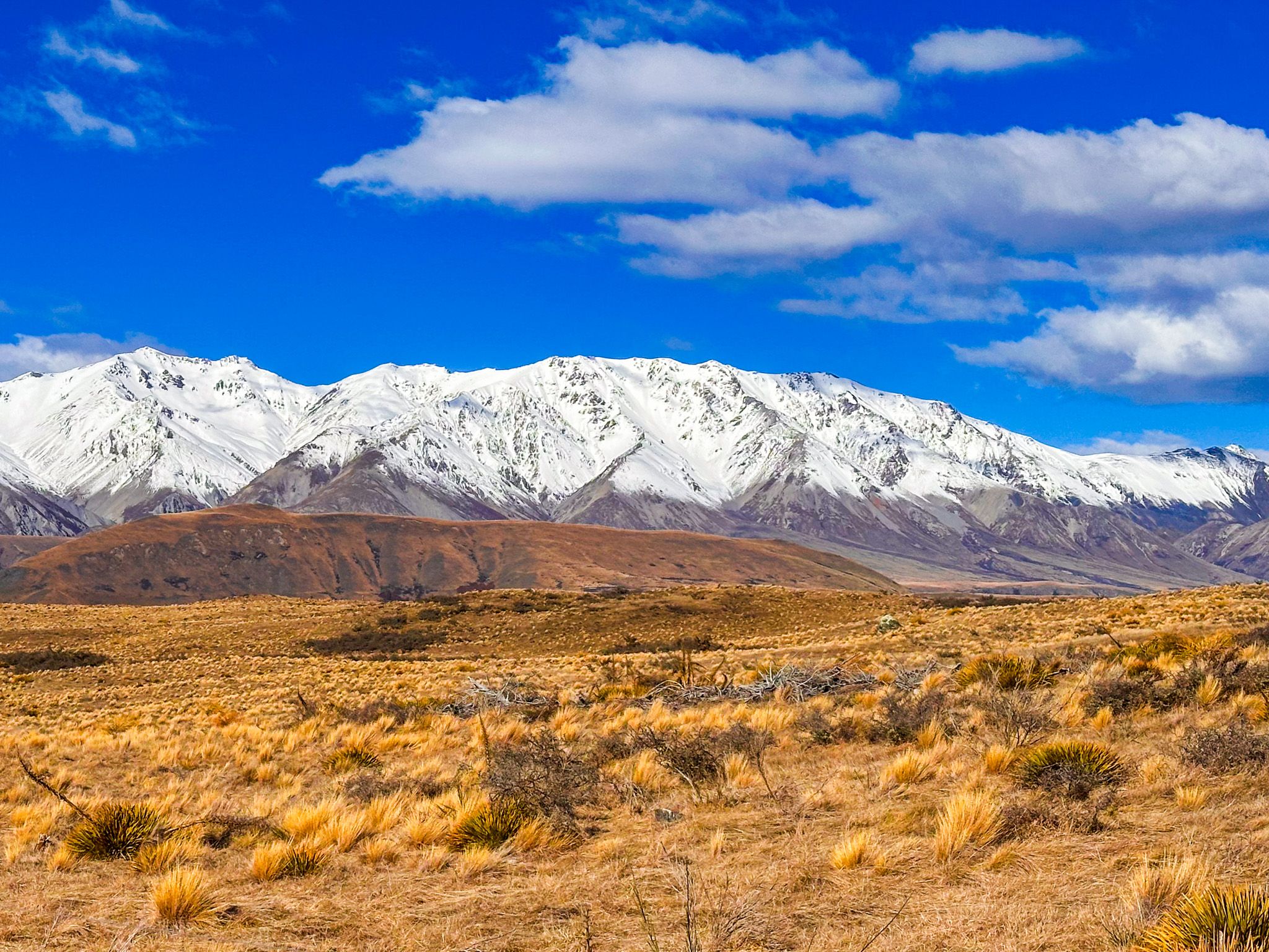
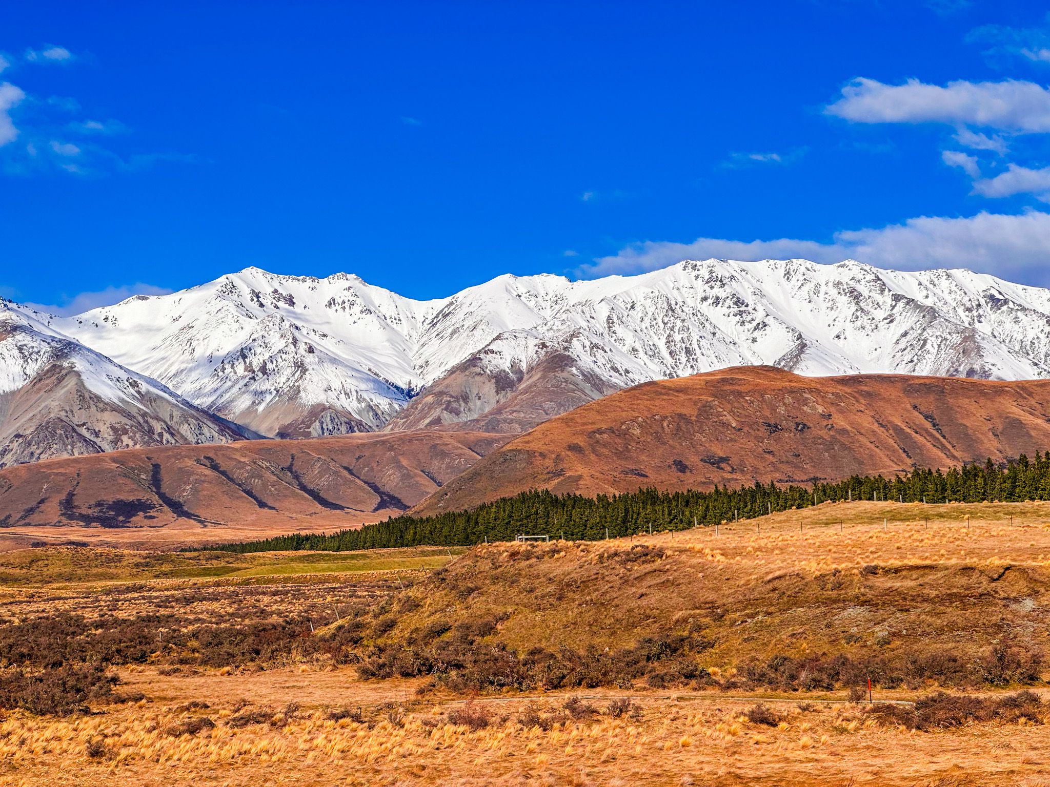
The Lake and its Mountain Backdrop
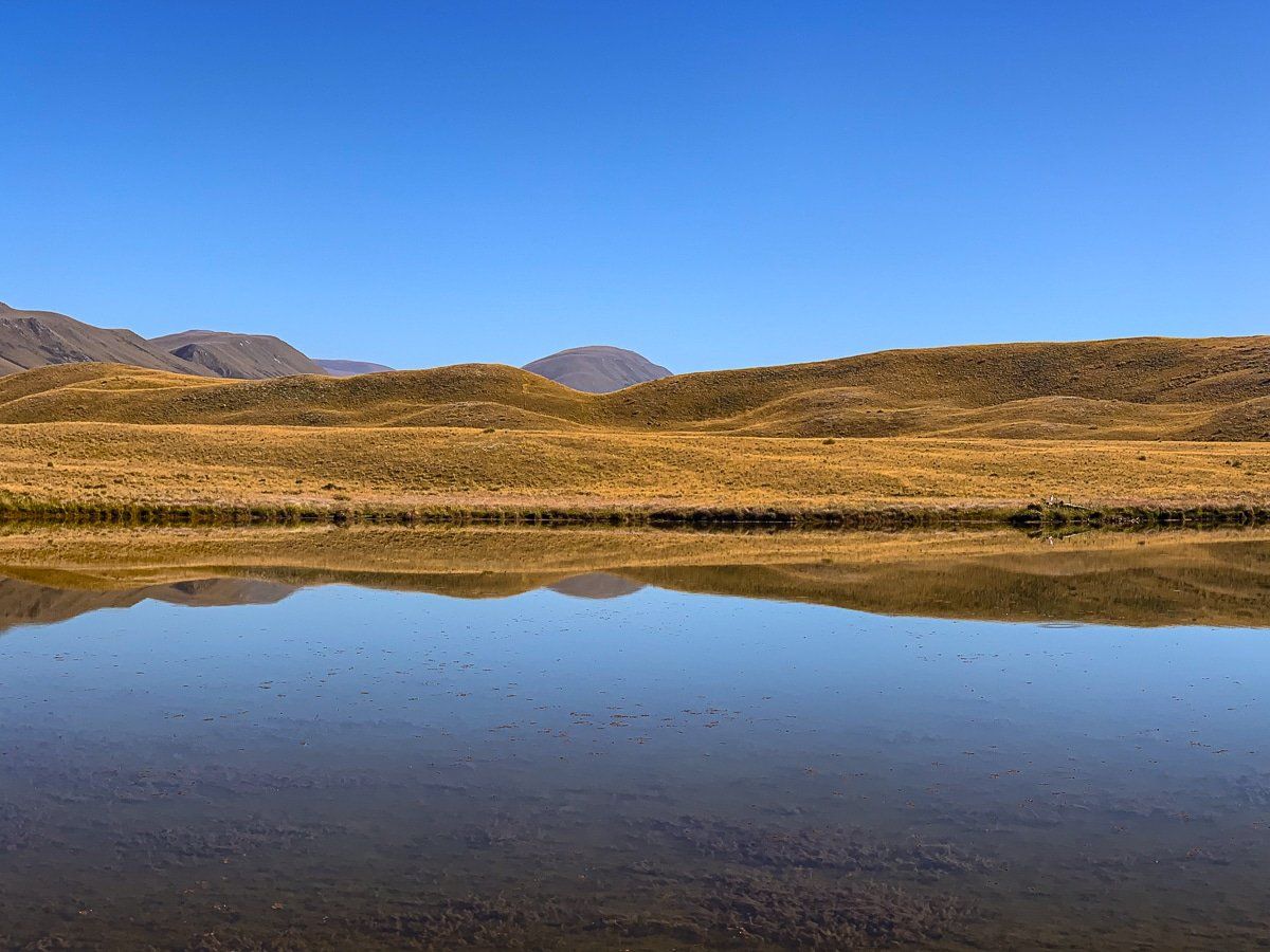
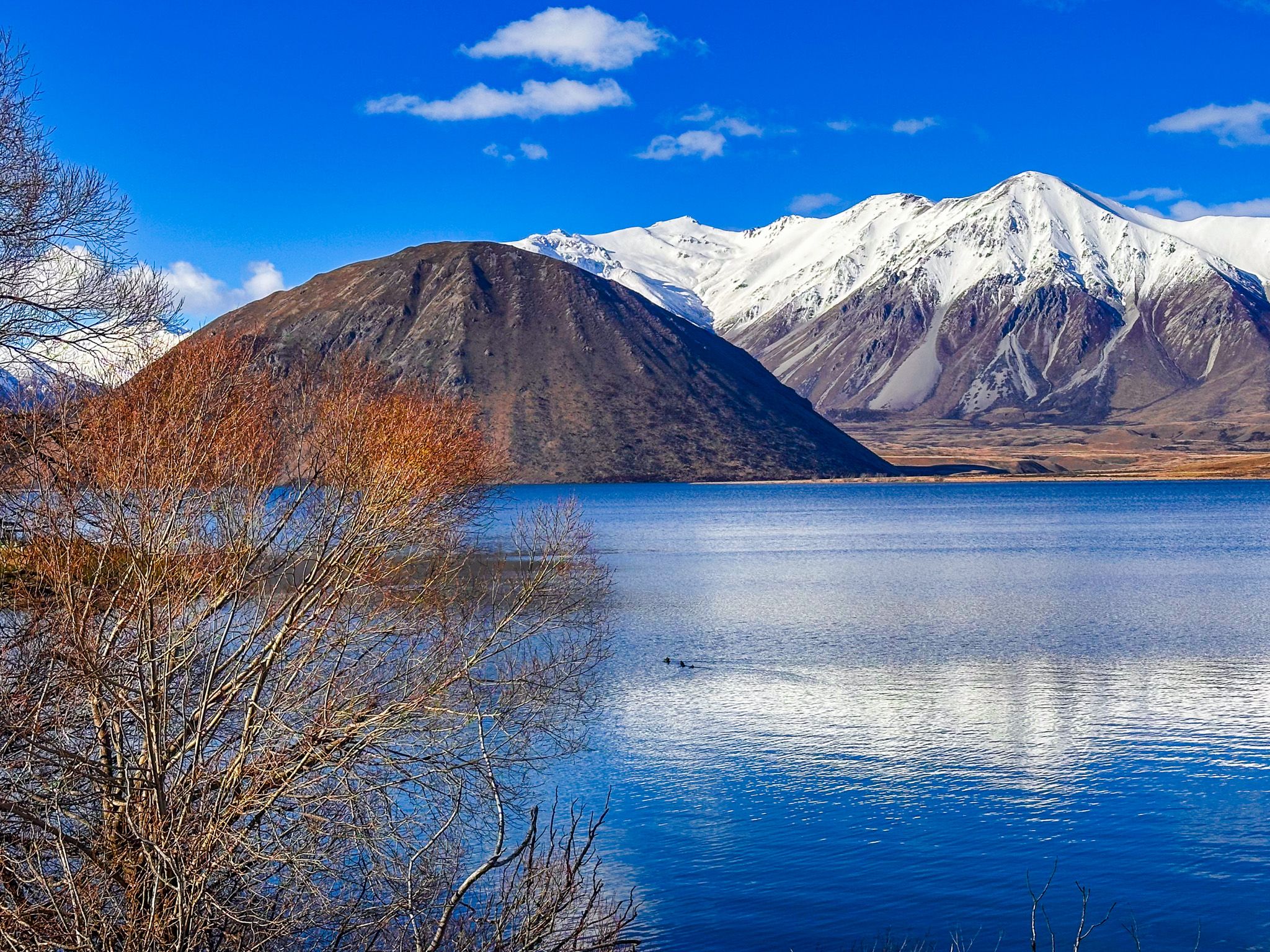
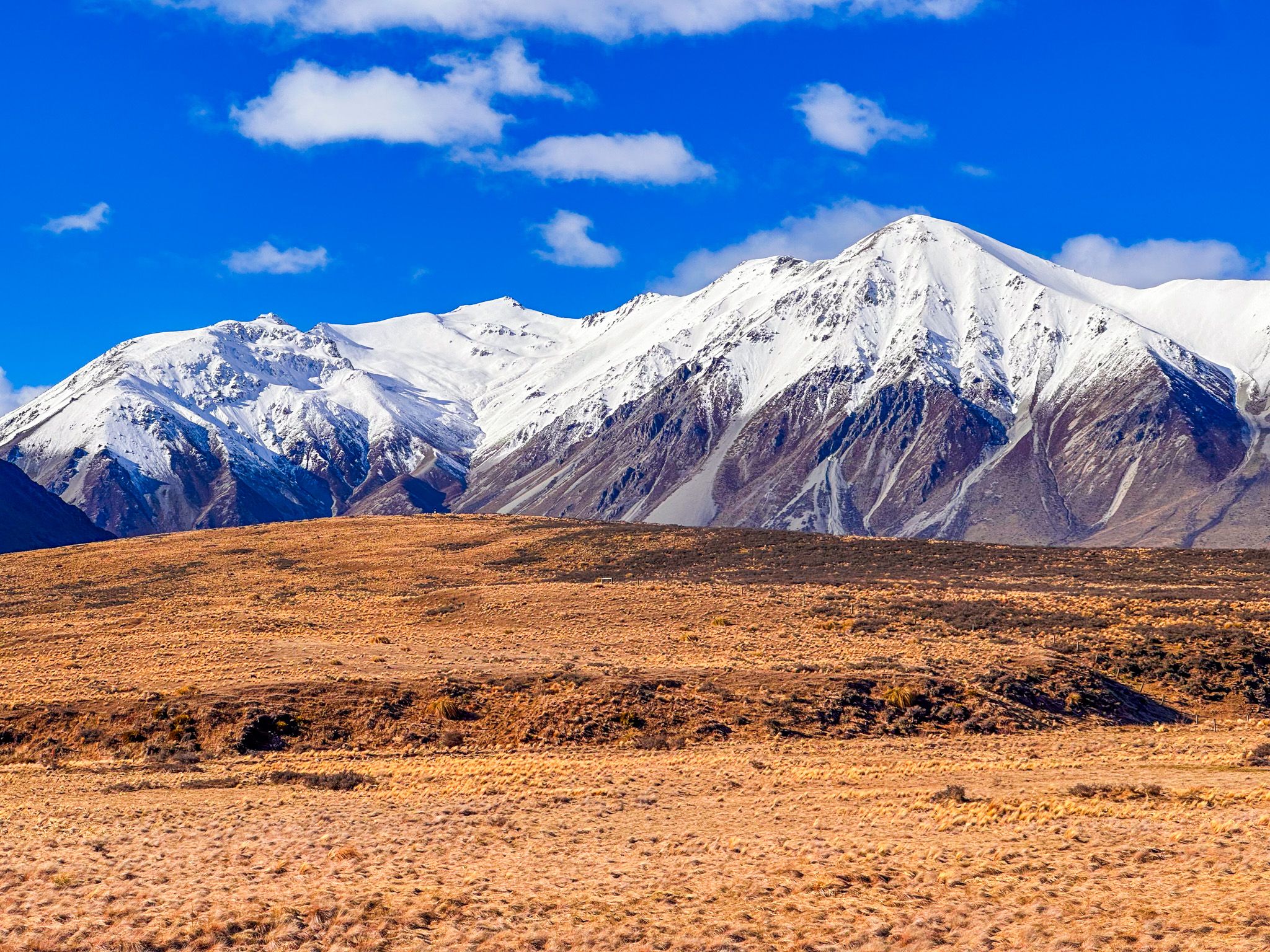
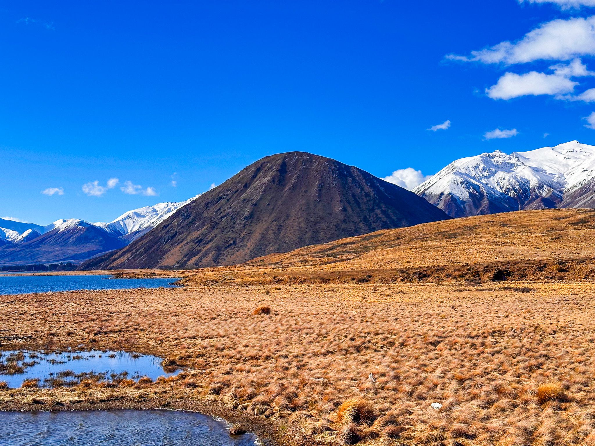
The basin opens wide south and north of the lake, with tussock and matagouri stretching across the flat ground between the ranges. To the east and southeast, the Mt Somers Range, Taylor Range, and Mt Catherine rise to peaks over 2,000 metres; in Winter and Spring, these faces have snow. To the north stands the Palmer Range, also around 2,000 metres. At the northeast end of the lake, Sugarloaf (1,238 m) is a prominent, rounded peak, geologically a roche moutonée: a mass of greywacke rounded and smoothed by the passage of the glacier that once filled this valley. To the west, the mountains are lower, with gentler ridgelines that drop away toward the Rangitātā River catchment.
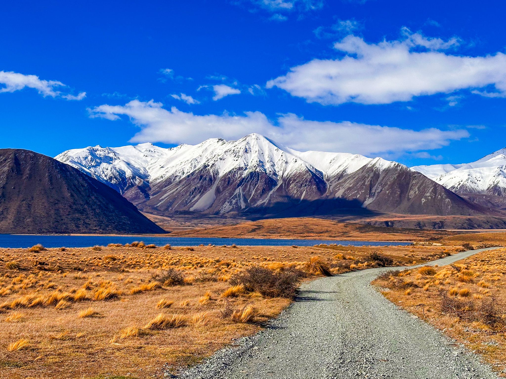
You can only use unpowered boats on the lake: rafts, kayaks and dinghies. Swimming is possible in Summer, though the water stays cold. On the access road, pull off at any point along the lakeshore for a closer look; the southwest and southeast ends both have car parks, and there is a third access point at Lake Heron Station on the northeast shore.
A Landscape Carved by Ice
The Lake Heron basin is one of the best-preserved glacial landscapes in Canterbury. Around 28,000 years ago, the Heron and Clearwater ice lobes merged into a single sheet. By roughly 19,000 years ago, the glacier had pulled back to approximately the position of the current lake, and it continued retreating slowly over the following millennia.
What it left behind is still clearly visible: moraines, terraced outwash surfaces, and the glacial grooves cut into the hillsides above the Cameron River valley to the west, marking the former height of the ice. The Kettle Hole, with a short walk near the south end of the lake, is another remnant, formed where huge blocks of ice from the glacier were buried in sediment before melting, leaving shallow depressions after the retreat.
Walks and Tramping
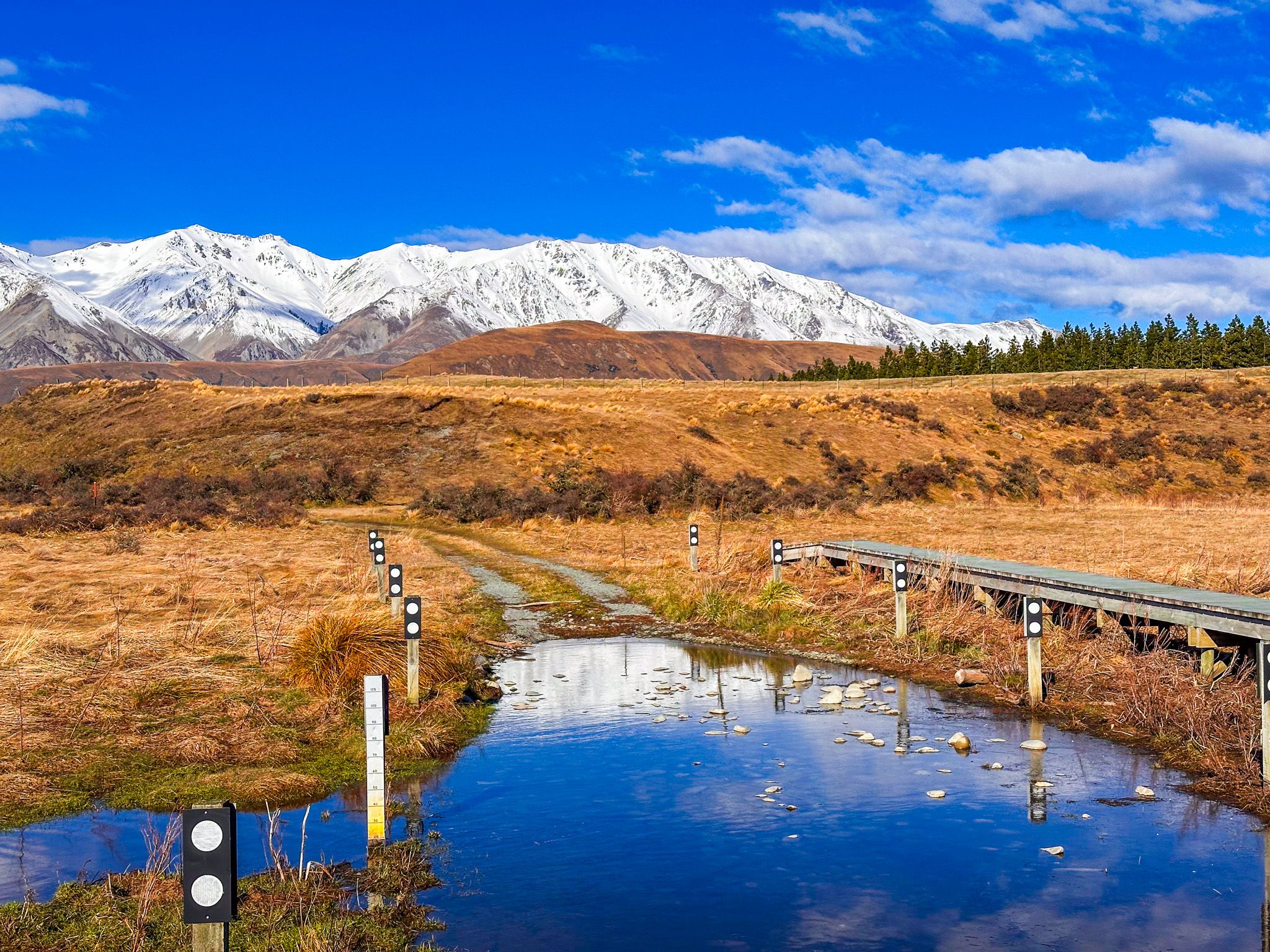
Four shorter DOC tracks start from the Lake Heron car parks. The Kettle Hole Walk (360 m, 10 minutes) begins on the access road before the southwest car park and leads to the Kettle Hole. The Lake Hill Track (1.5 km, 45 minutes return) starts from the southeast car park and climbs easily to a vantage point with views across the lake and the surrounding ranges. The Harrisons Bight Track (2.5 km, 1 hour) follows the same start and heads to one of the best fishing bays on the lake, with 4WD vehicle access permitted in Summer. The Double Hut Track (10 km, 3 hours one way) is for those wanting to go deeper into the backcountry: it leads to an old musterers’ hut that serves as a base for climbing Mt Taylor, hunting, or connecting to the Te Araroa Trail as it approaches Lake Emily.
Beyond these shorter options, several multi-day routes reach up the valleys and into the surrounding ranges, making Lake Heron a genuine back-country gateway for those with time and experience.
Fishing
Lake Heron is regarded as one of the best fishing lakes in Mid Canterbury. Brown trout, rainbow trout, and lake-resident quinnat salmon are present. Fly fishing and spin fishing are both permitted; the south bank, in particular, is popular with spin fishers targeting salmon. The season runs from the first Saturday in November to 30 April. A valid New Zealand freshwater fishing licence is required. No dogs are permitted at the lake.
History and Culture
The Ngāi Tahu name for the lake is Ōtū Roto. It was a traditional mahinga kai site where food such as weka, tūna (eels), aruhe (fern root), and kauru, processed from the young stems of tī kōuka (cabbage tree), were gathered. The lake also lay on the traditional trail connecting the Hakatere with the Rakaia River routes and onwards to Te Tai Poutini (the West Coast), making it a significant stop on the seasonal movement of Ngāi Tahu between the coasts.
The European name dates from April 1857, when Thomas Potts, Henry Phillips, and FGP Leach travelled up from the Rakaia valley and came upon the lake. They named it Heron Lake after seeing “so many white herons gently sailing over its surface, or standing motionless on its stony beach.” The white heron / kōtuku for which the lake was named is now only an occasional visitor; the lake is more regularly home to Australasian crested grebe / pūteketeke, marsh crake / koitareke, and Australasian bittern / matuku.
Accommodation and Camping
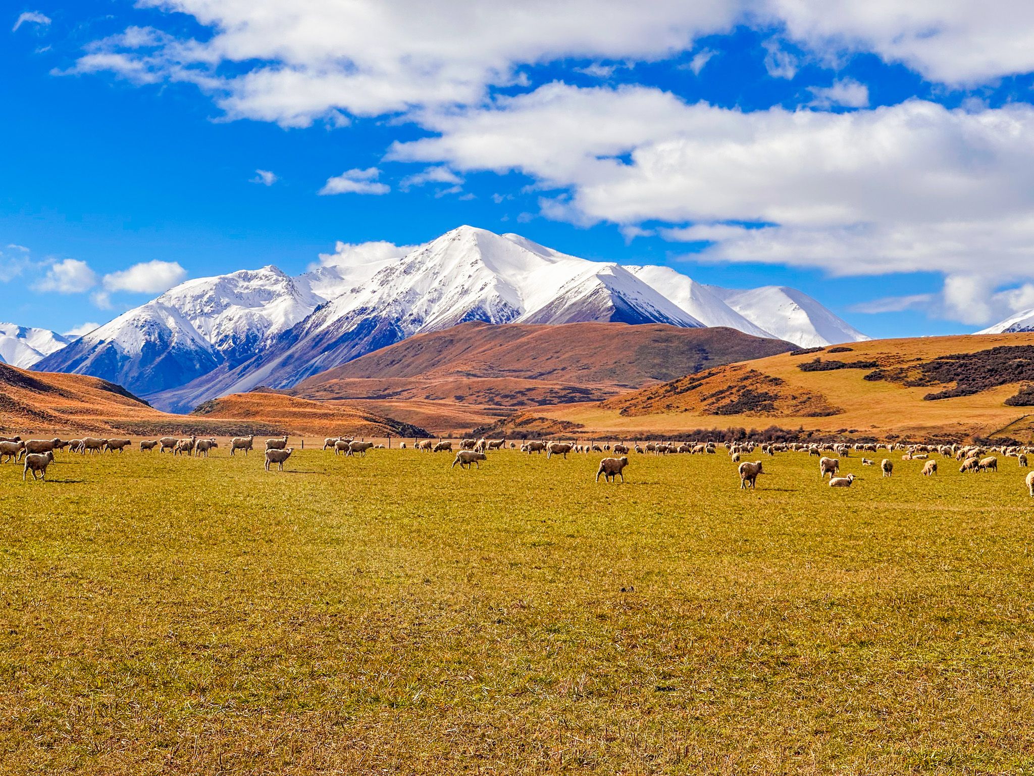
A campsite provided by Arrowsmith Station is located at the southwest end of the lake and operates from October to April. Basic facilities are available. Lake Heron Station on the northwest shore has self-contained cottage accommodation, with fishing rods, kayaks, and a dinghy available to guests. The station has been in the Todhunter family since 1917 and covers 19,600 hectares of merino sheep country.
How to Get There
From Christchurch, head southwest on State Highway 1 to Rakaia, then turn inland onto Thompson Track, which becomes Tramway Road to Mt Somers. From Mt Somers, follow Ashburton Gorge Road west to the historic Hakatere Station buildings. Turn north onto the gravel Hakatere Heron Road and follow it to the lake. The road is flat, well-maintained, and suitable for a 2WD in dry conditions.
The first car park is on the right shortly after the lake comes into view; continue 1.7 km along the lakeshore road to reach the second car park and the start of the Lake Hill, Harrisons Bight, and Double Hut tracks. A toilet is available at the second car park.
Continue along the road on the west side of the lake to reach Lake Heron Station. The drive from Christchurch takes 2 hours and is 153 km.
Nearby places to visit include Māori Lakes / Ōtūwharekai and the wider Hakatere Conservation Park accessible via Hakatere Potts Road, including Lake Emma, Lake Roundabout, Lake Clearwater, Lake Camp, and Mount Sunday.