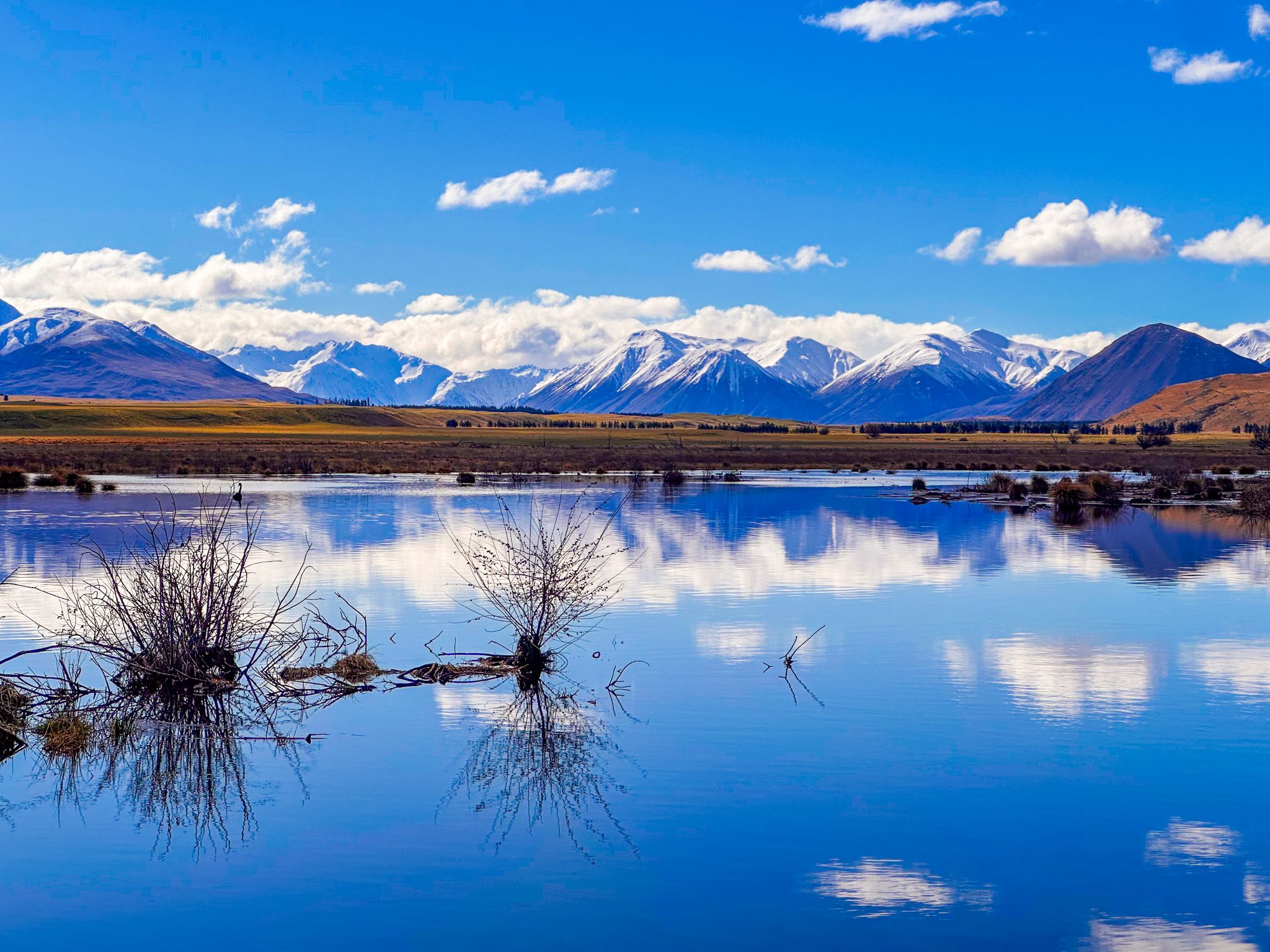
Wetland Lakes with Mountain Reflections
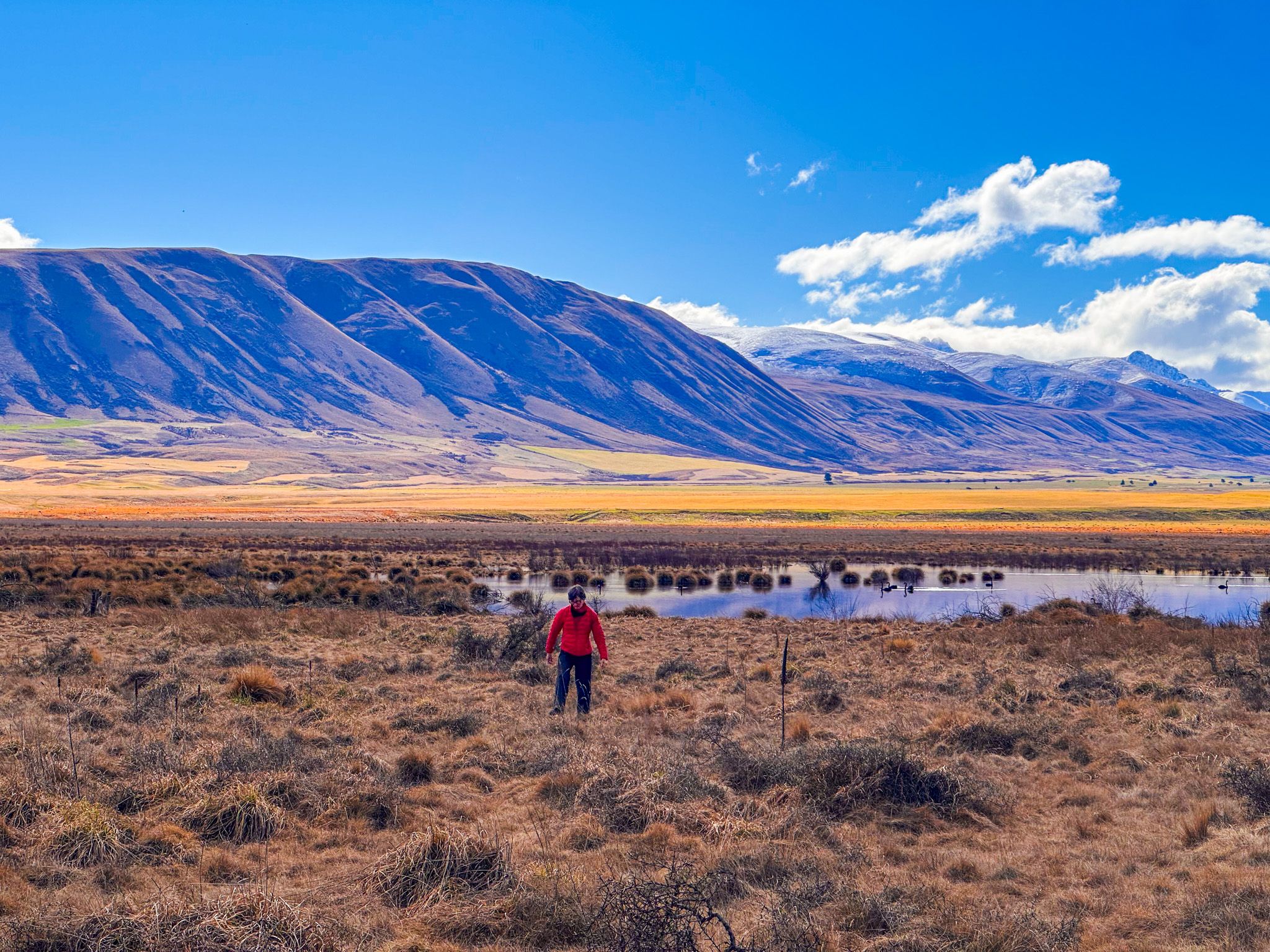
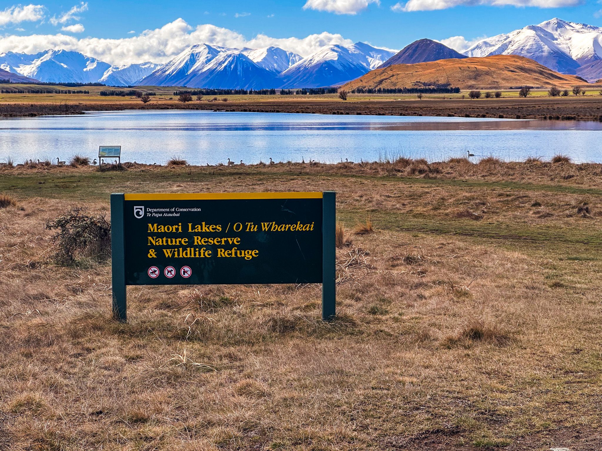
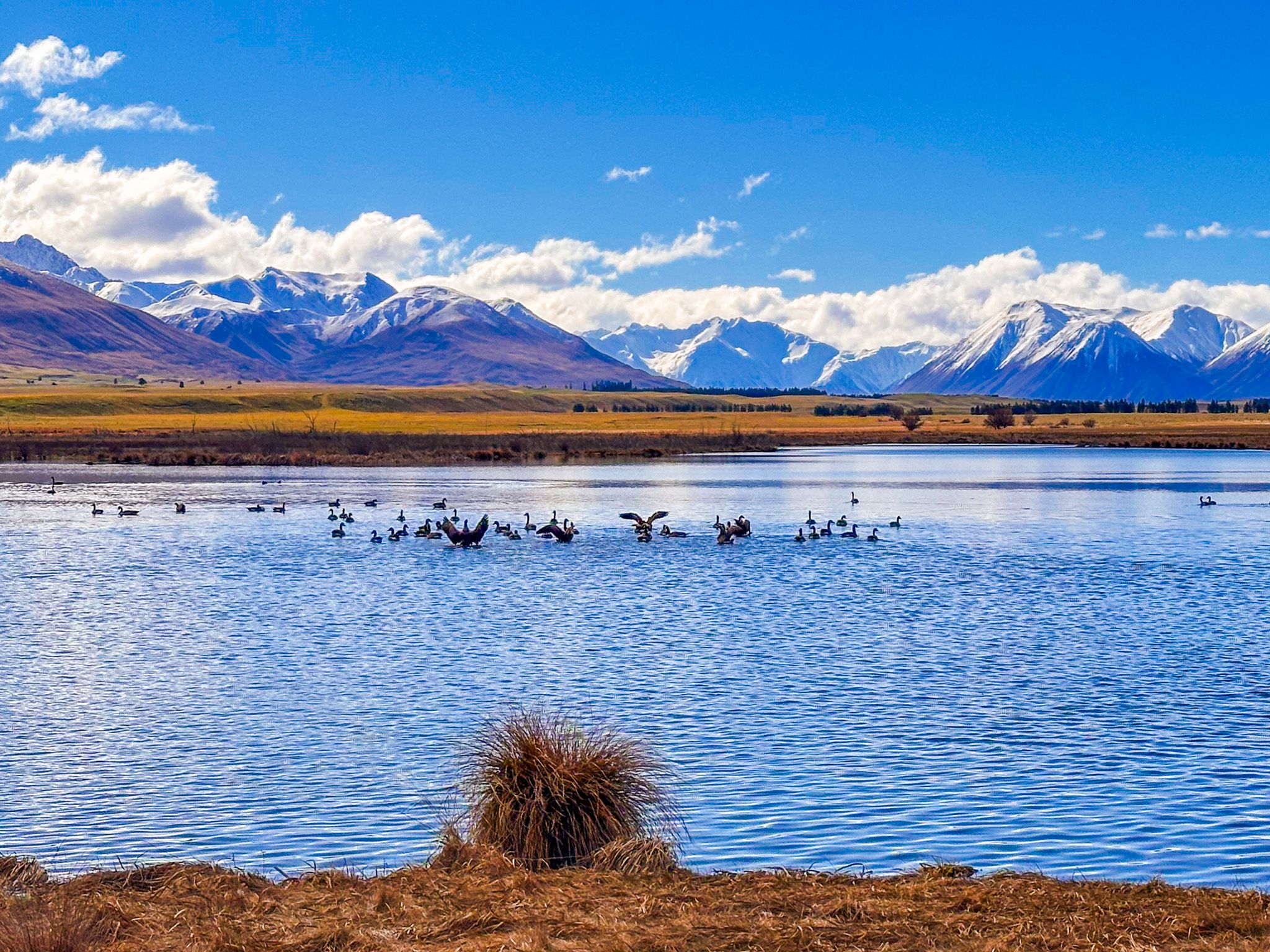
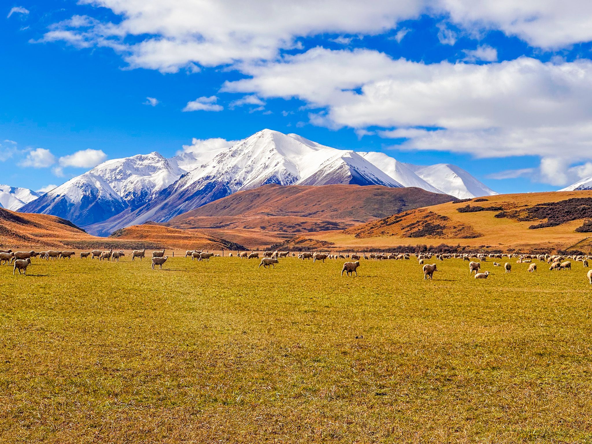
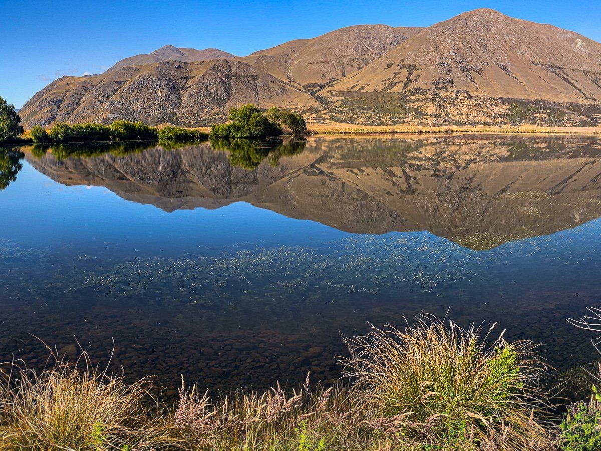
Māori Lakes (Ōtūwharekai) are a group of small, shallow wetland lakes set in open tussock country along Hakatere Heron Road in Hakatere Conservation Park, Mid Canterbury. They lie around 31 km west of Mt Somers and are passed on the way to Lake Heron. The lakes sit within a 288-hectare nature reserve and wildlife refuge, and while there are no walking tracks here, a roadside stop on a calm day can be stunning. The surrounding reeds and tussocks are richly coloured, the birdlife is varied, and the still water reflects the mountain ranges to the east with exceptional clarity.
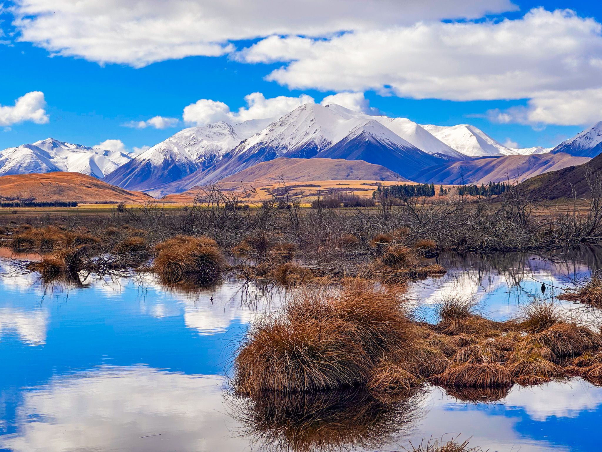
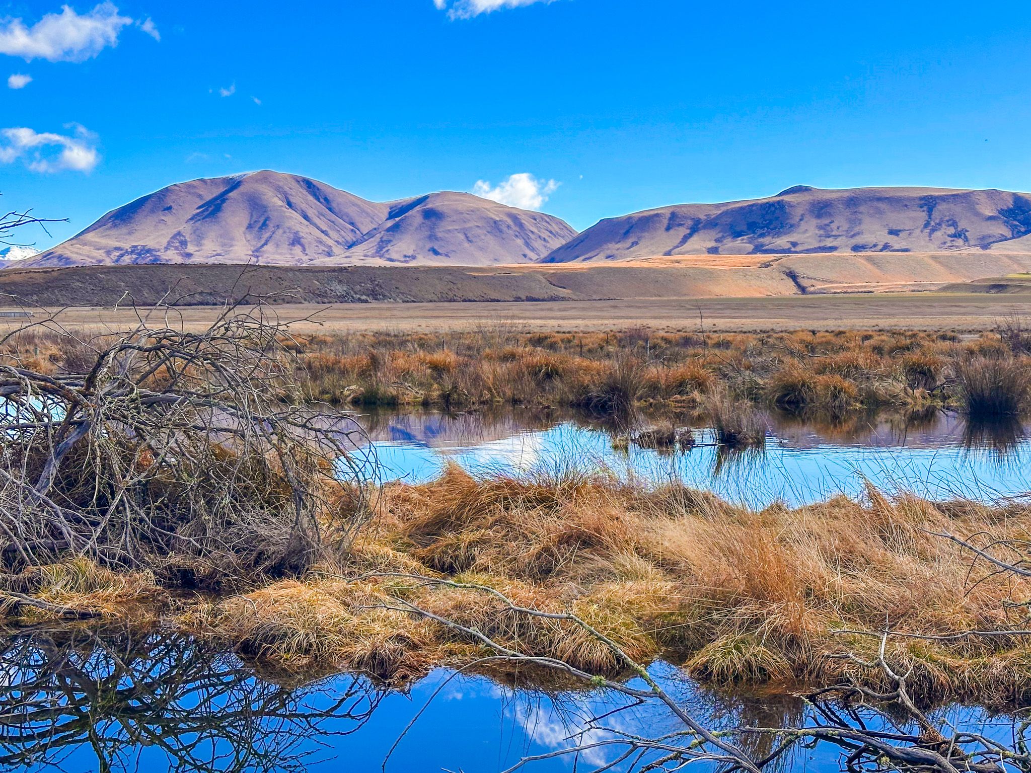
Shallow Water and Colourful Tussocks
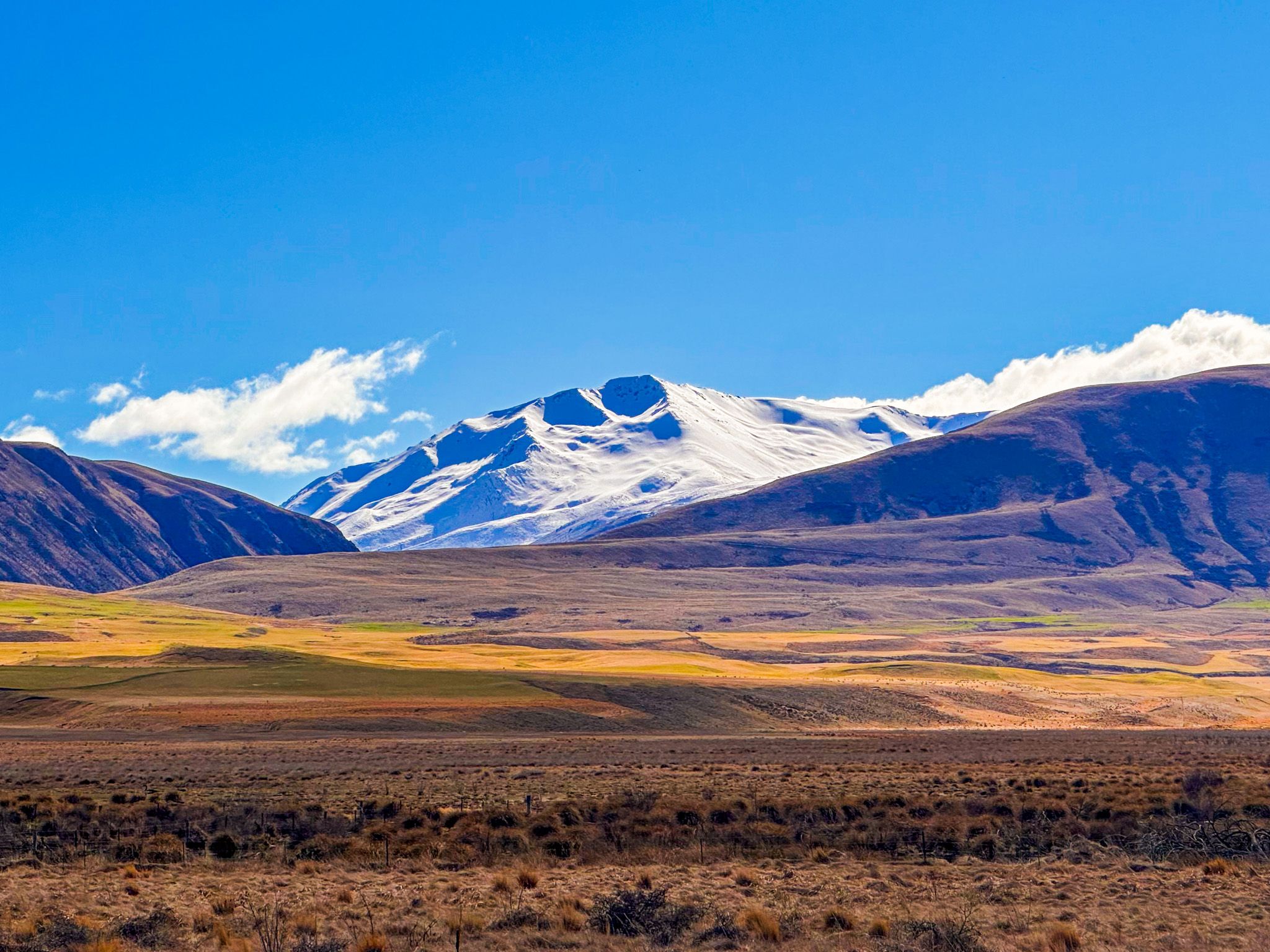
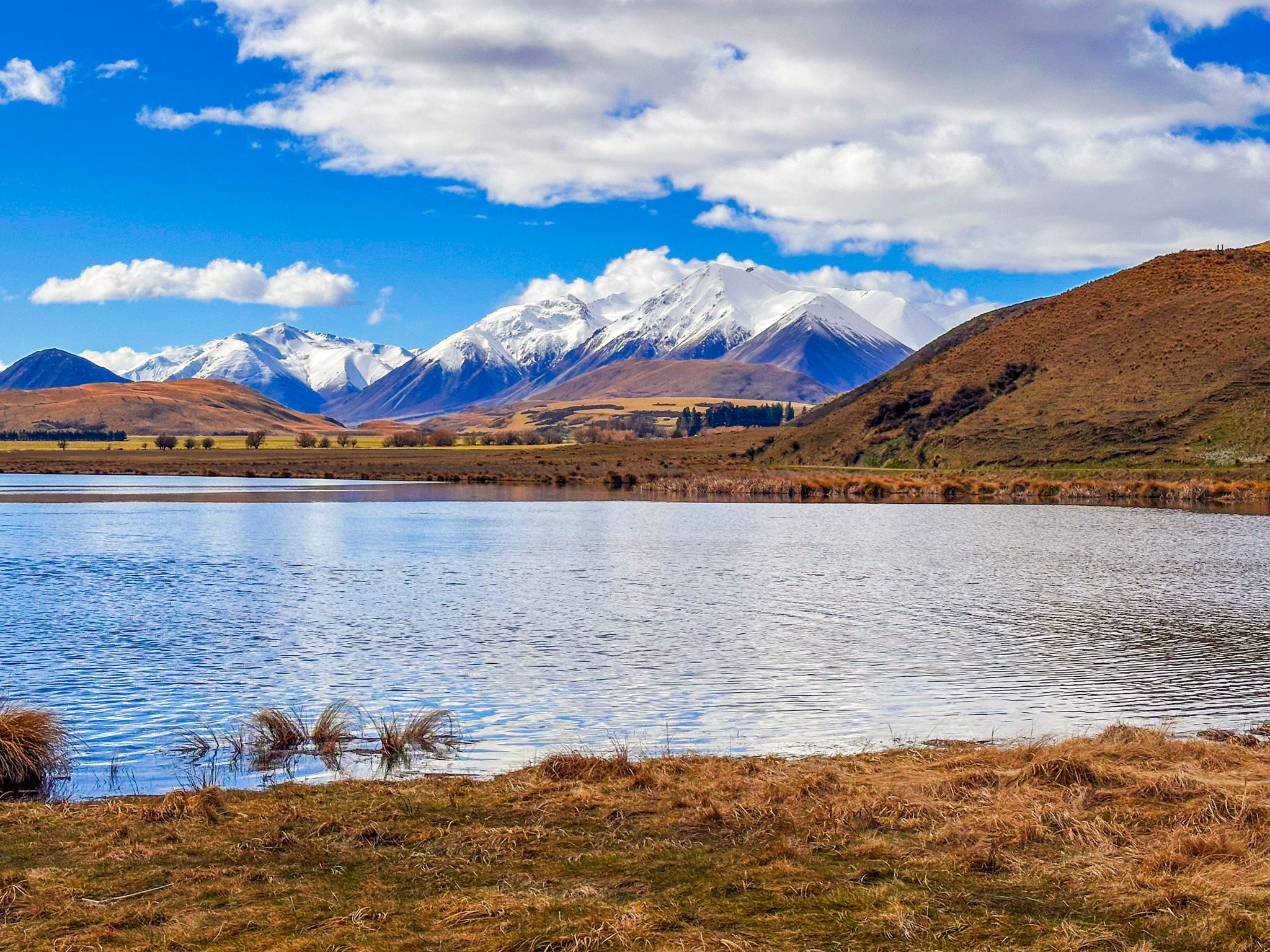
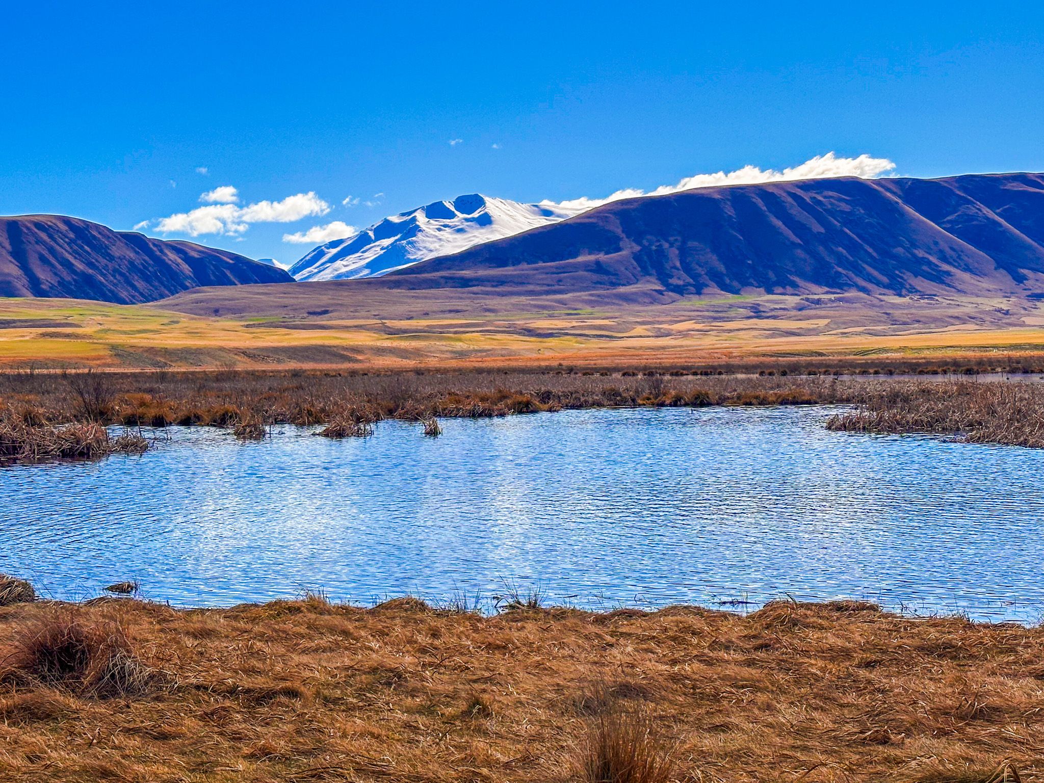
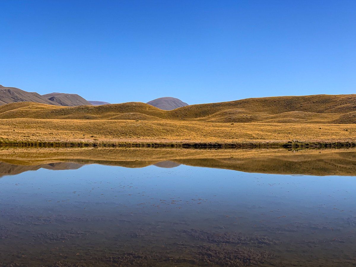
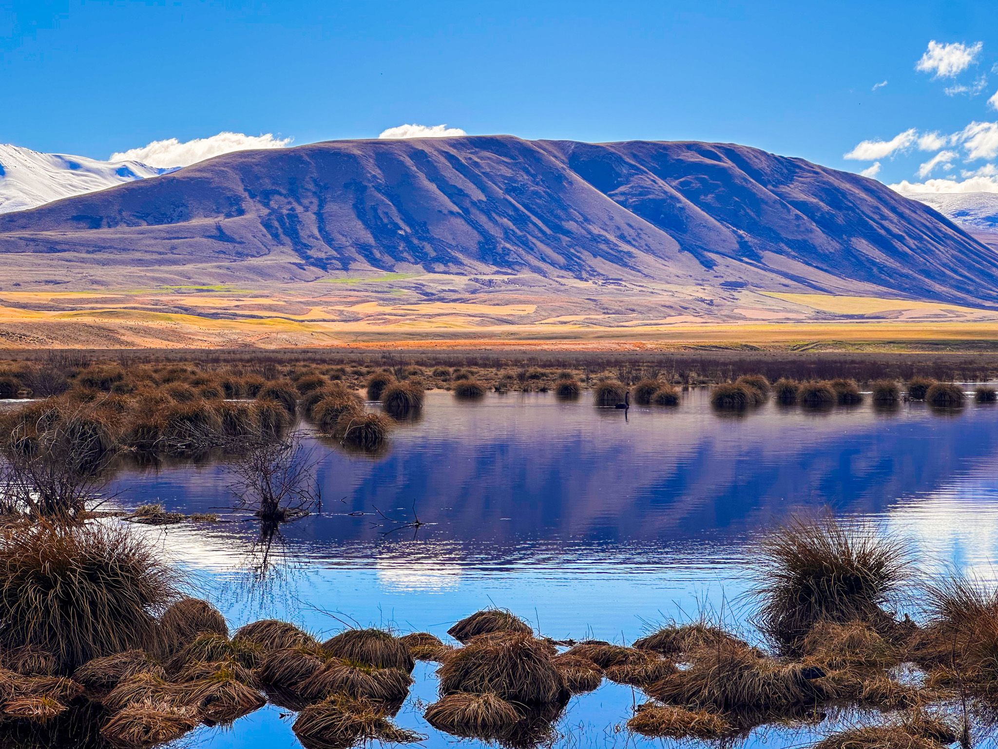
The lakes are interconnected and extremely shallow, reaching a maximum depth of just 0.8 metres. Beds of tussocks, reeds and other wetland vegetation ring the water, with the tussocks taking on warm tones of gold and amber that shift through the seasons. The wider basin is open in all directions, which means the mountain views are unobstructed: on a clear Winter day, the snow-covered ranges to the east are reflected in the lakes. Early morning is the best time to visit, before the wind comes up and breaks the surface. By mid-morning on most days, the nor'wester has arrived, and the reflections are gone.
Birdlife
Common waterfowl, including ducks and black swans, are resident year-round. Rarer species include kōtuku (white heron), Australasian bittern / matuku, marsh crake / koitareke, and Australasian crested grebe / kamana. The wider Ōtūwharekai wetland system, of which Māori Lakes is a part, is one of the two most important breeding sites in New Zealand for the wrybill / ngutu parore, the only bird in the world with a beak curved laterally to one side. The braided rivers nearby also support black-fronted tern / tarapirohe, banded dotterel / turiwhatu, and black stilt / kakī, one of the most endangered birds in the world.
Cultural significance
The name Ōtūwharekai is applied by Ngāi Tahu to these lakes specifically and to the wider Ashburton Lakes region. The name refers to the dining hall of a marae, which is apt, given its importance as a significant mahinga kai resource, lying on the traditional trails that Ngāi Tahu tīpuna followed between the east and west coasts. Three pounamu trails passed through the region, carrying greenstone from Te Tai Poutini (the West Coast) eastward. In legend, Tu Te Rakiwhanoā is said to have arranged the debris from the waka associated with the creation of Aoraki to form the harbours, plains, and mountains of the South Island. Some of that debris became the wetlands of Ōtūwharekai.
For Europeans, the name Māori Lakes was, for a long time, the only visible acknowledgement of the pre-settler history. The revival of Ngāi Tahu guardianship, knowledge and traditions has since brought the fuller story of Ōtūwharekai back into wider recognition.
How to get there
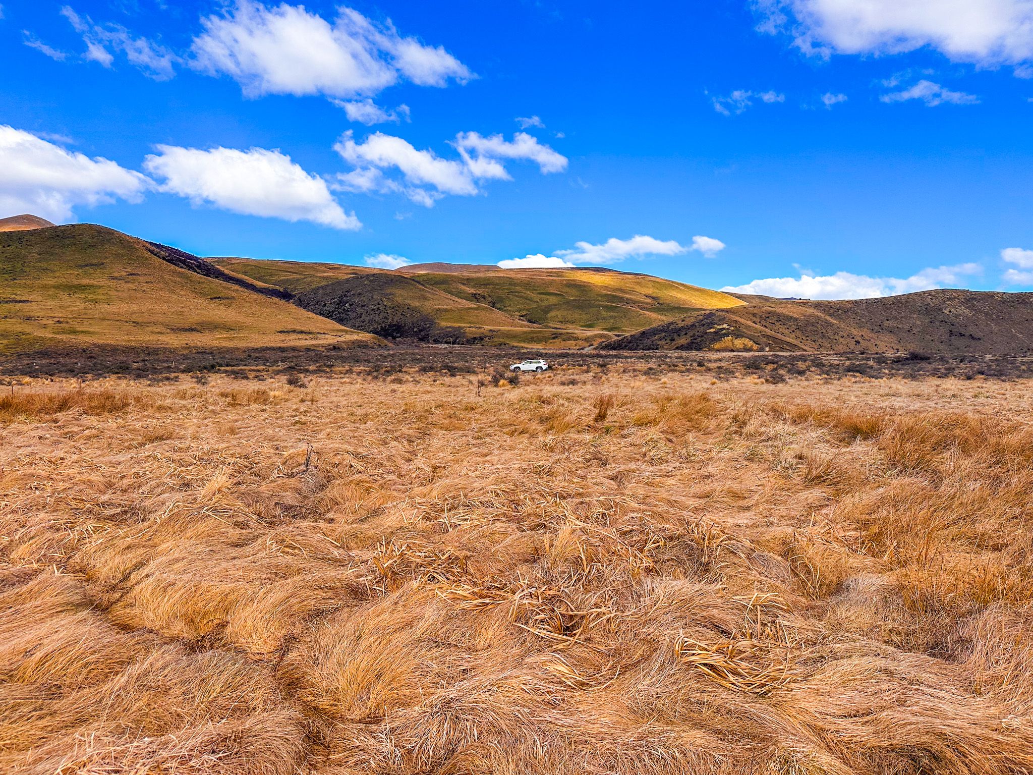
From Mt Somers, follow Ashburton Gorge Road west. The road turns to gravel at the historic Hakatere Station buildings, where Hakatere Heron Road branches north. Māori Lakes are on the left, approximately 29 km from Mt Somers and a 25-minute drive. The road is flat and well-maintained gravel, suitable for a standard 2WD in dry conditions.
Nearby places to visit include Lake Heron, a further few kilometres along the same road, and the wider Hakatere Conservation Park lakes via Hakatere Potts Road, including Lake Emma, Lake Roundabout, Lake Camp, Lake Clearwater and Mount Sunday.