Discover Lake Mapourika in Westland
Lake Mapourika is situated in Glacier Country in Westland on the South Island, just ten kilometres north of the Franz Josef Glacier. The lake is the largest of the post-Ice Age glacial lakes in Westland. State Highway 6 runs along the eastern shore for over 4 km, providing spectacular views across the lake to the glacier-carved steep hills on the western side.
Unique Features of Lake Mapourika
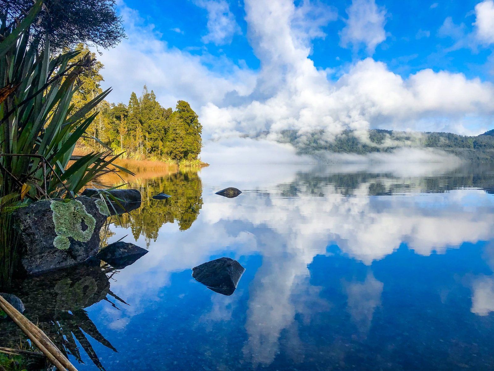
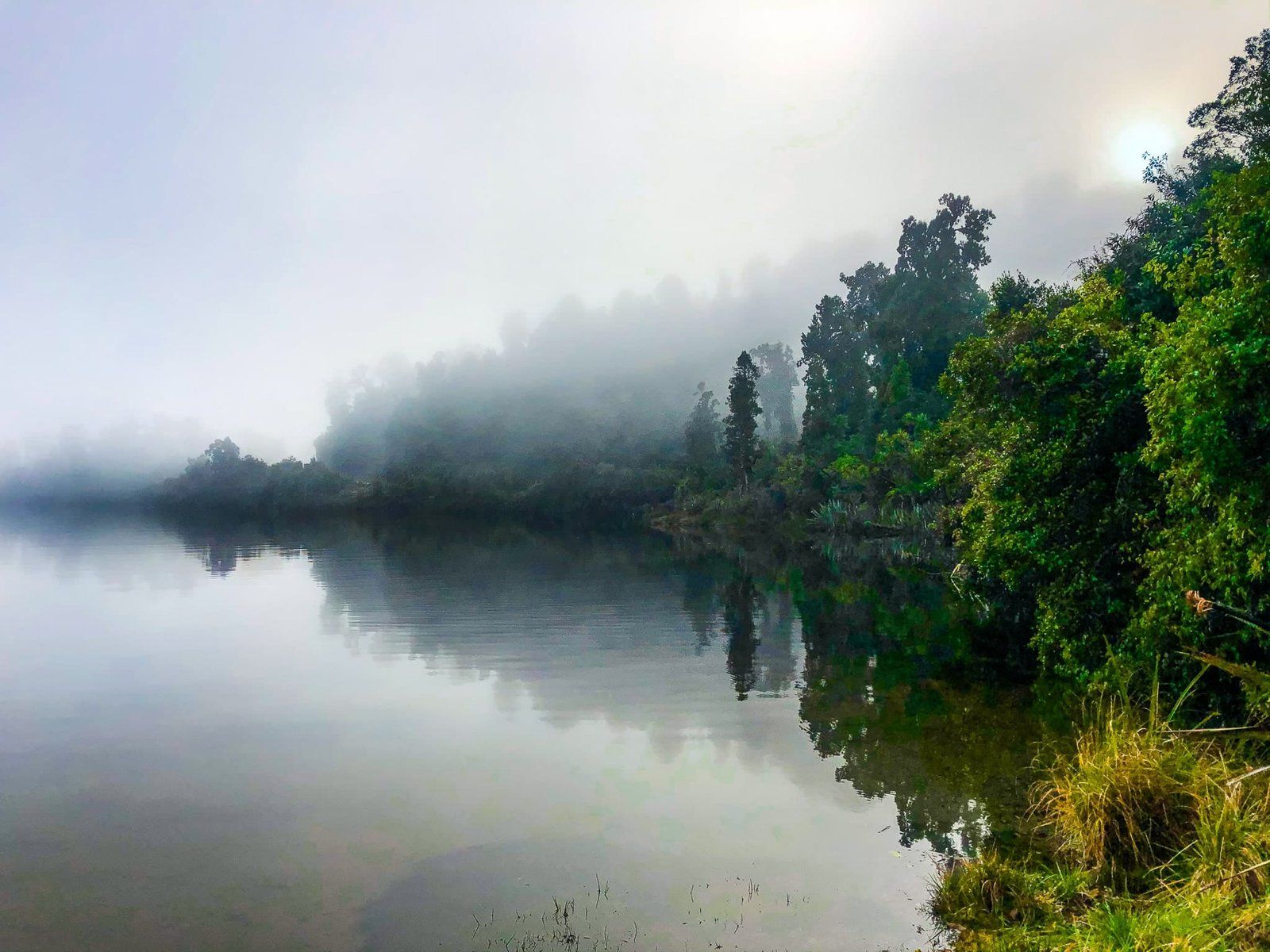
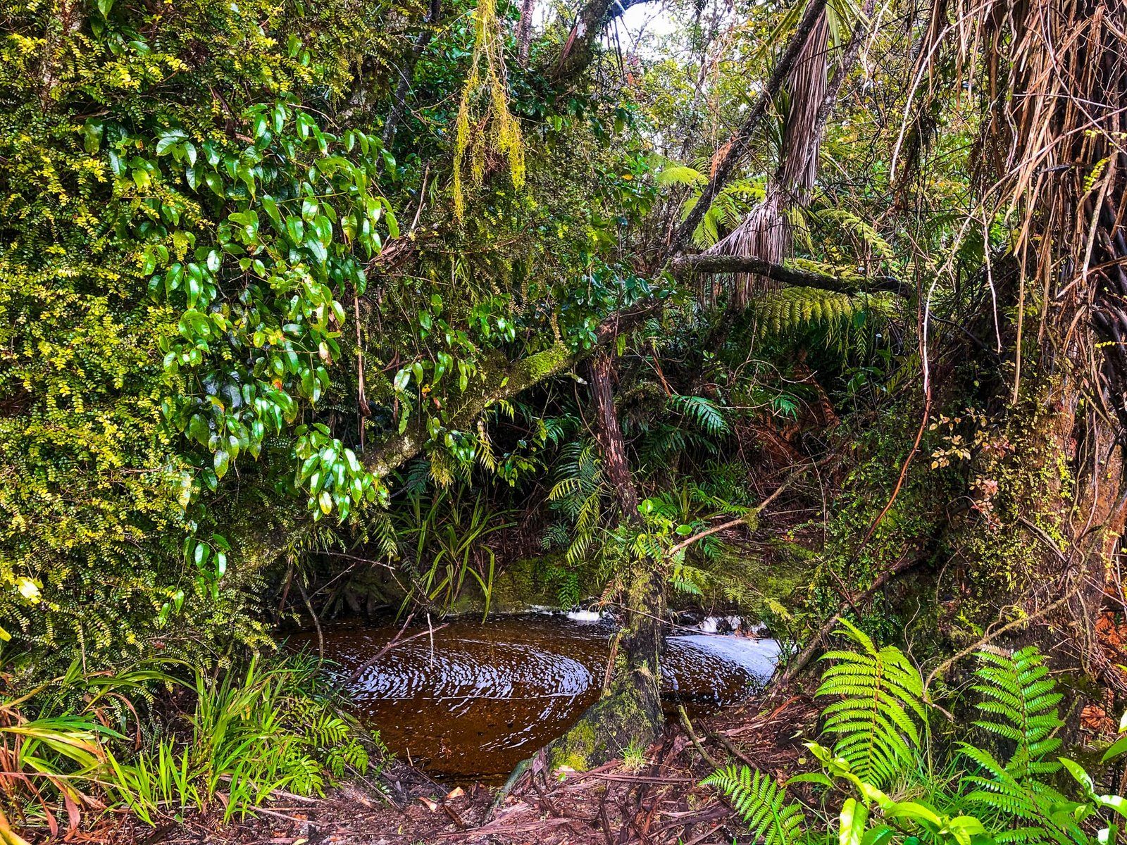
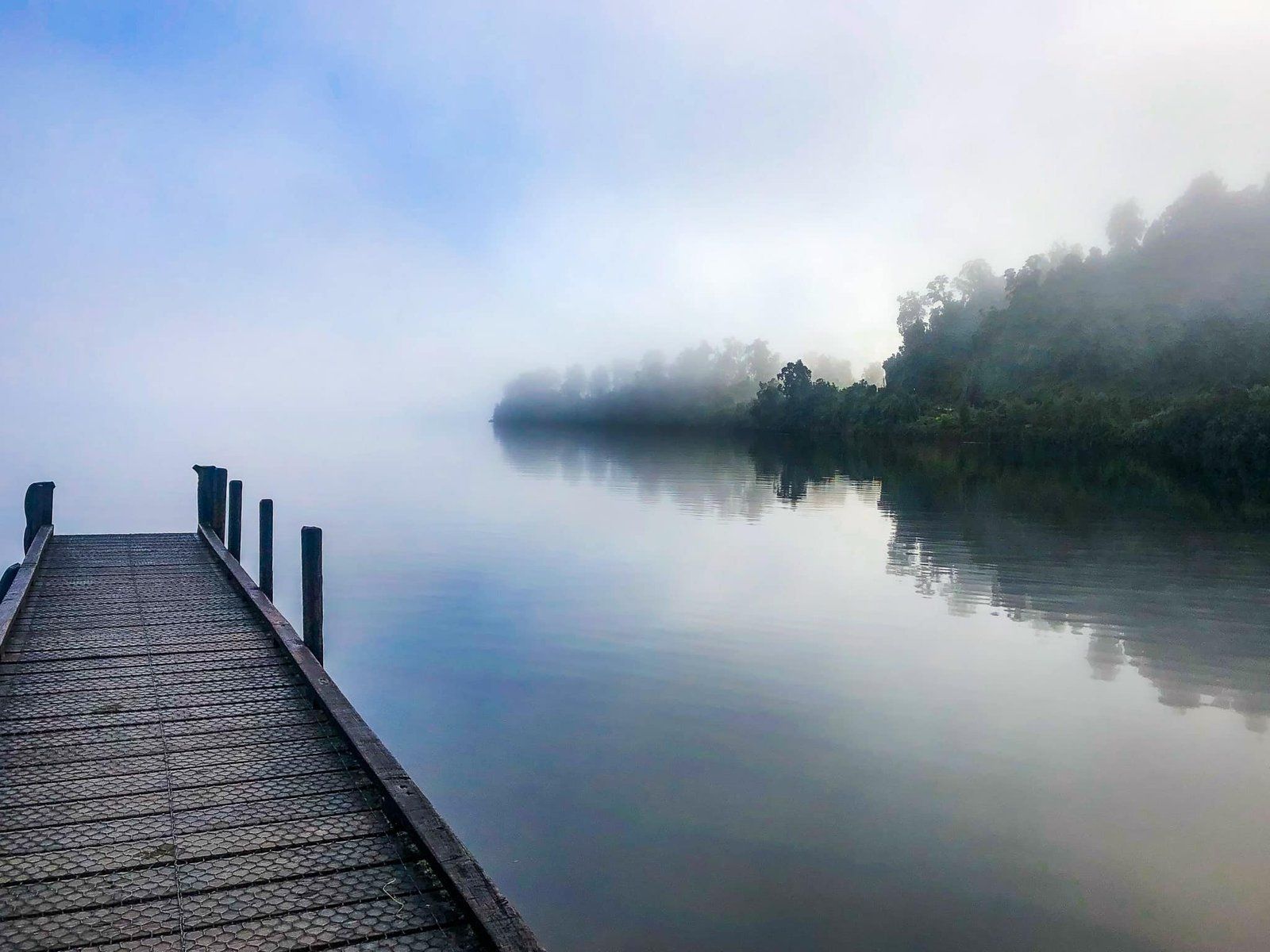
The post-glacial nature of the lake is indicated by the steep hills that surround it, displaying the characteristic U-shape of a glacial valley. The lake is fed by numerous streams and runoff from the surrounding hills, swathed in ancient forest, rather than a major river. This results in its particularly dark waters, coloured by tannins washed in from the forest.
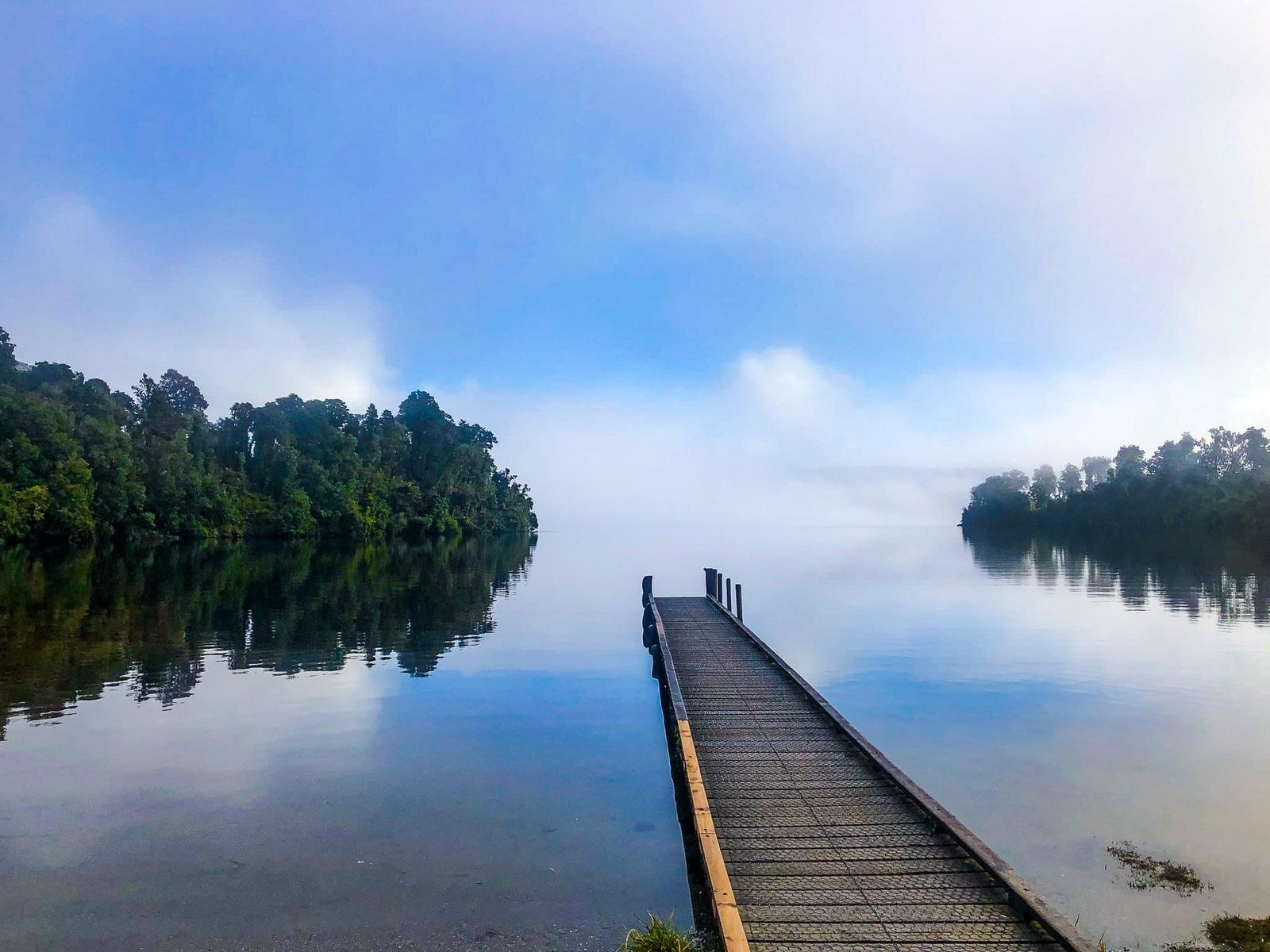
The main outflow is the Ōkārito River, which flows from the north end of the lake to the Ōkārito Lagoon, a significant coastal lagoon north of the small settlement of Ōkārito. The sheltered nature of Lake Mapourika often results in stunning reflections on its surface, making it a photographer's delight.
Activities at Lake Mapourika
On the northeast side of the lake, you will find a campsite that serves as a perfect base for outdoor activities. There is a boar ramp, and kayaking is a popular activity here, allowing you to explore the calm waters and enjoy the surrounding scenery.
You can also fish for brown trout and ocean run salmon that come up the Ōkārito River in Summer. However, due to the surrounding forest, access to the shore is limited, and it is best to bring a boat.
How to Get to Lake Mapourika
To reach Lake Mapourika, drive north from Franz Josef Glacier for about ten minutes, 10 km, along State Highway 6. From Hokitika, the drive is 100 minutes and 124 km on SH6.
Nearby, you can also visit other glacial lakes such as Lake Matheson, Lake Moeraki and Lake Paringa to the south, or Waihāpo and Ianthe to the north.