The View of Views on the West Coast
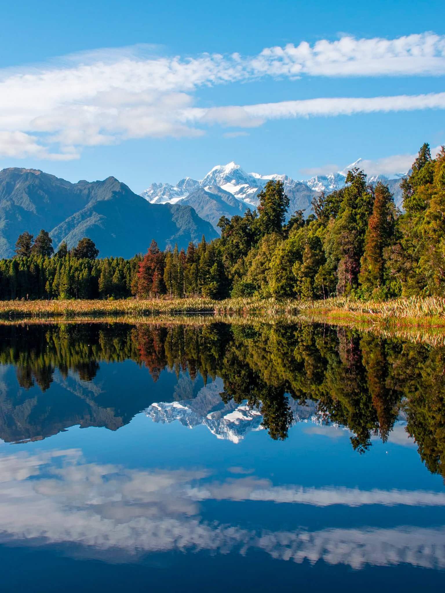
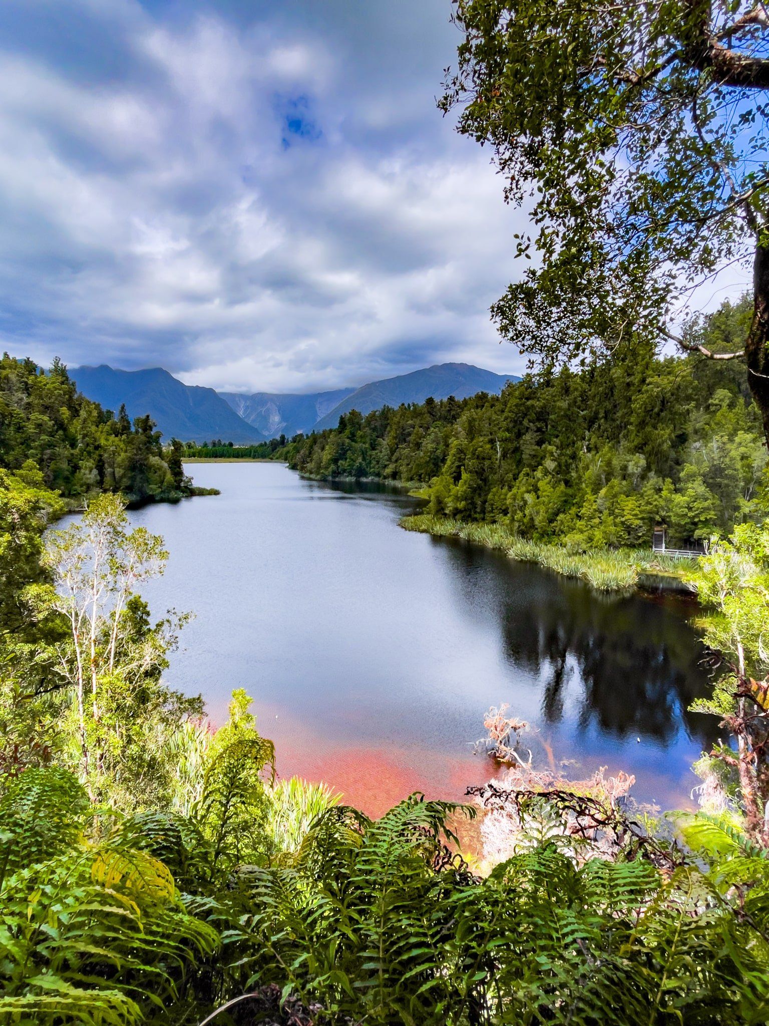
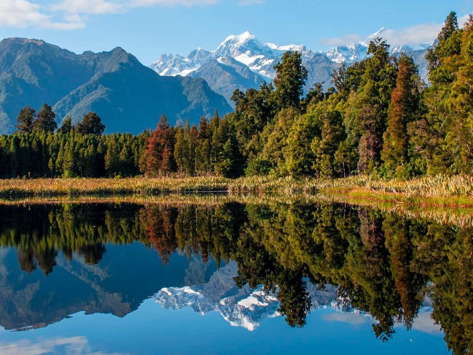
Lake Matheson / Te Ara Kairaumati sits in a pocket of ancient podocarp forest roughly five kilometres west of Weheka / Fox Glacier township, tucked between glacial moraine terraces just inland from the Westland coast. It is one of the most photographed spots in New Zealand, and for good reason: on a calm, clear day, the still surface mirrors the snow-capped summits of Aoraki / Mount Cook and Mount Tasman with almost perfect fidelity.
The lake is managed within Westland Tai Poutini National Park in Glacier Country, and the easy loop walk, combined with the Matheson Café and shop at the trailhead, makes it an accessible highlight of any West Coast, South Island itinerary.
A Glacial Lake Born from Ice
Lake Matheson formed between two moraine terraces left by the rapid retreat of Fox Glacier / Te Moeka o Tuawe around 14,000 years ago, at the end of the last glacial period. The retreating glacier left behind a valley and a huge slab of ice insulated by a deep layer of moraine gravel, which gradually melted and collapsed to form the lake bed. The lake measures about 30 hectares in area with an average depth of 12 metres.
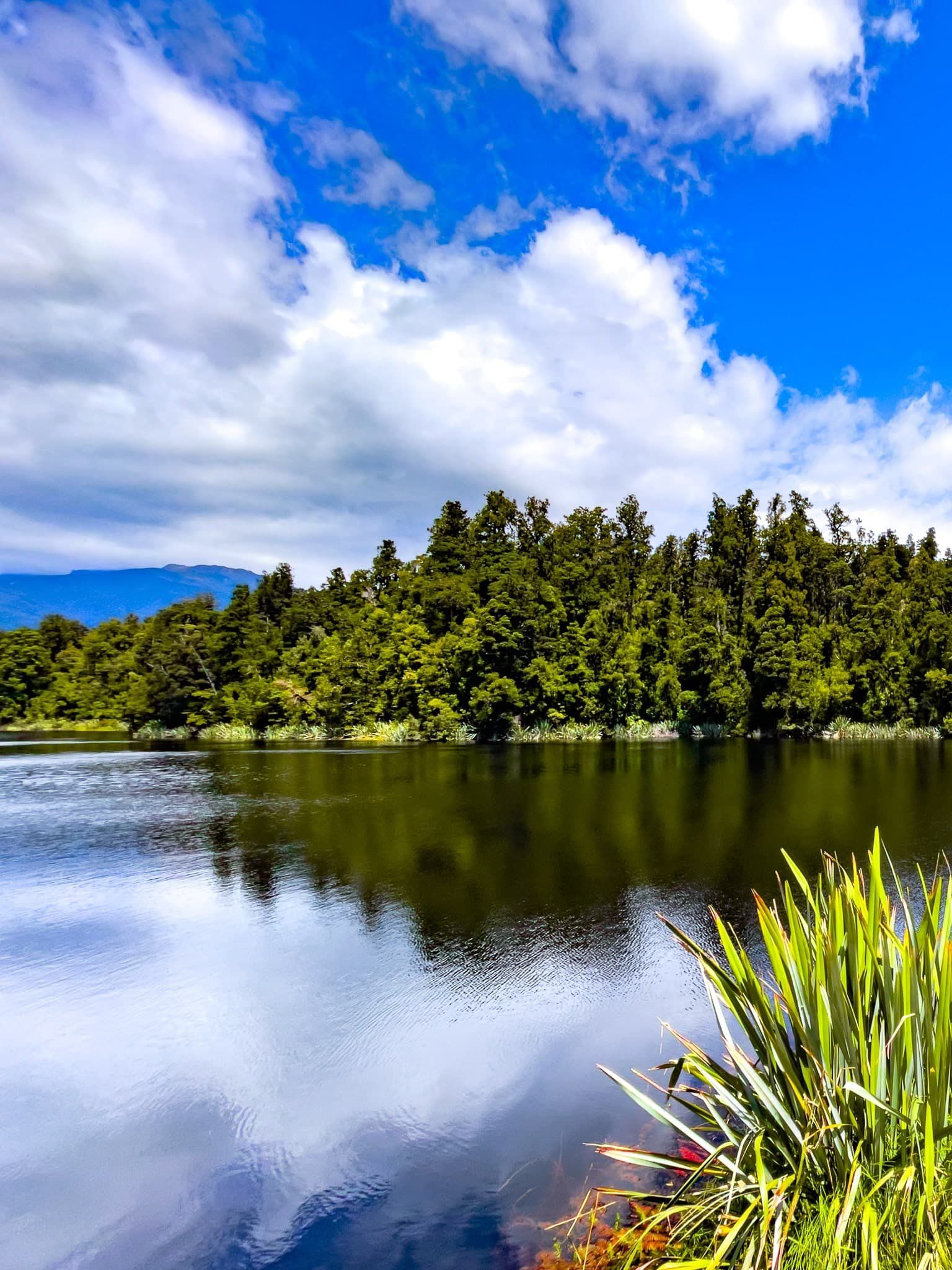
The water's exceptional reflective quality comes from its colour. The streams feeding the lake pass through dense native forest, leaching tannins and organic matter from the forest floor that darken the water to a deep brown. This dark surface, combined with the stillness of calm mornings, creates the mirror effect the lake is famous for.
Māori History and European Settlement
Te Ara Kairaumati was traditionally a mahinga kai (food-gathering place) for Māori travelling along the coast to collect pounamu. They would stop at the lake to catch longfin eels or waterbirds, both of which were abundant in these dark waters.
The lake was named Lake Matheson by the first European settlers on the Cook River flats after Murdoch Matheson, a cattle farmer in the area in the 1870s. Tourism came early to this corner of Westland. After the Fox Glacier Hotel opened in 1928, it ran trips to Lake Matheson, where visitors could take a boat to photograph the lake's famous reflections.
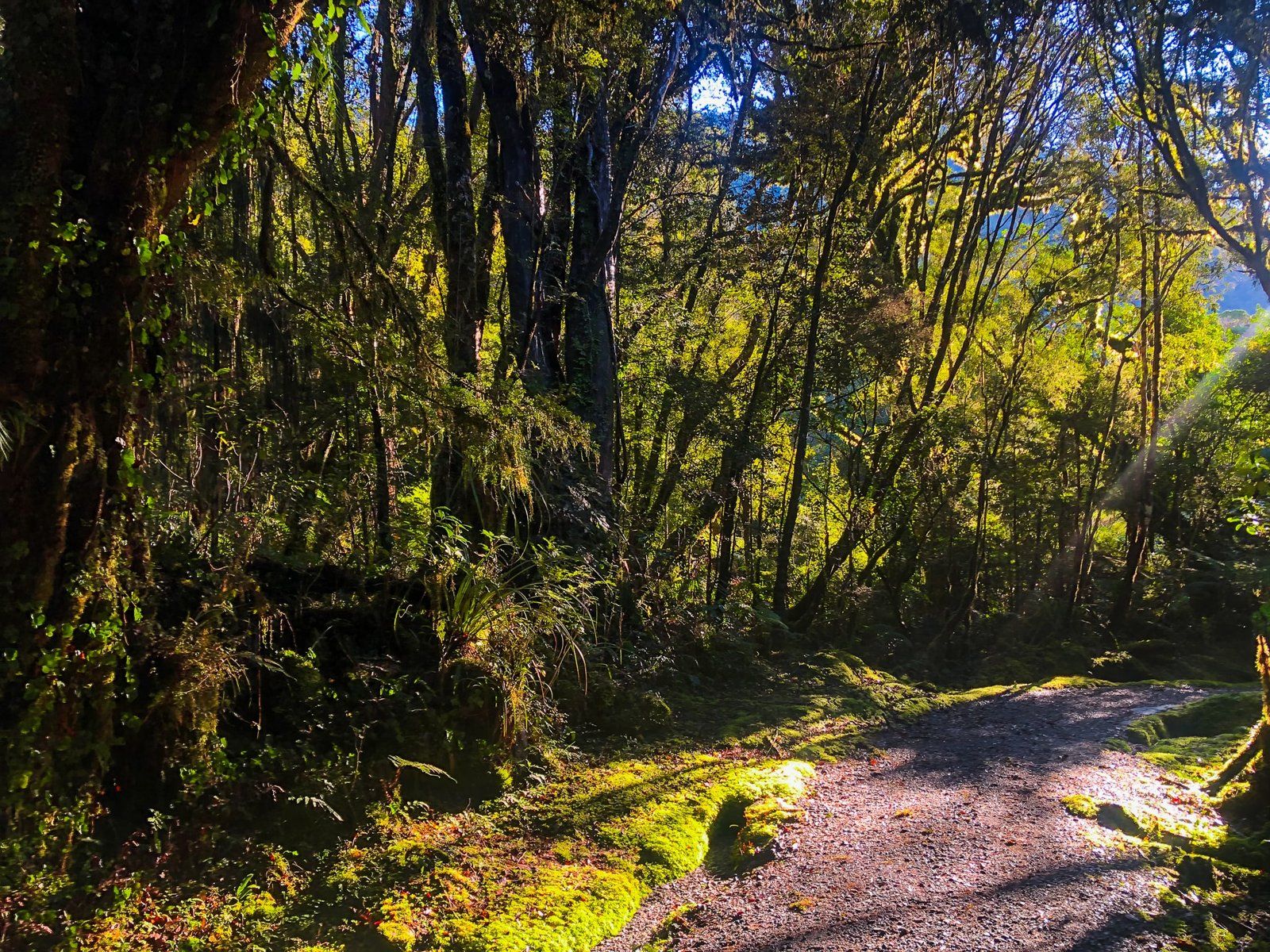
The Loop Walk: Te Ara Kairaumati
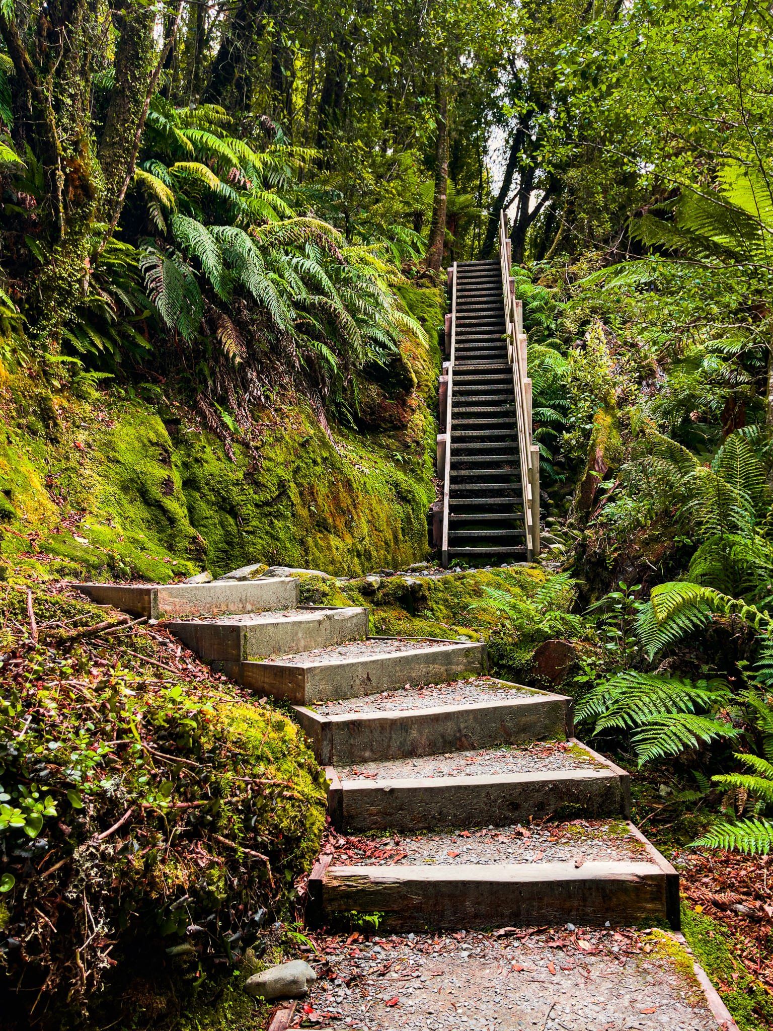
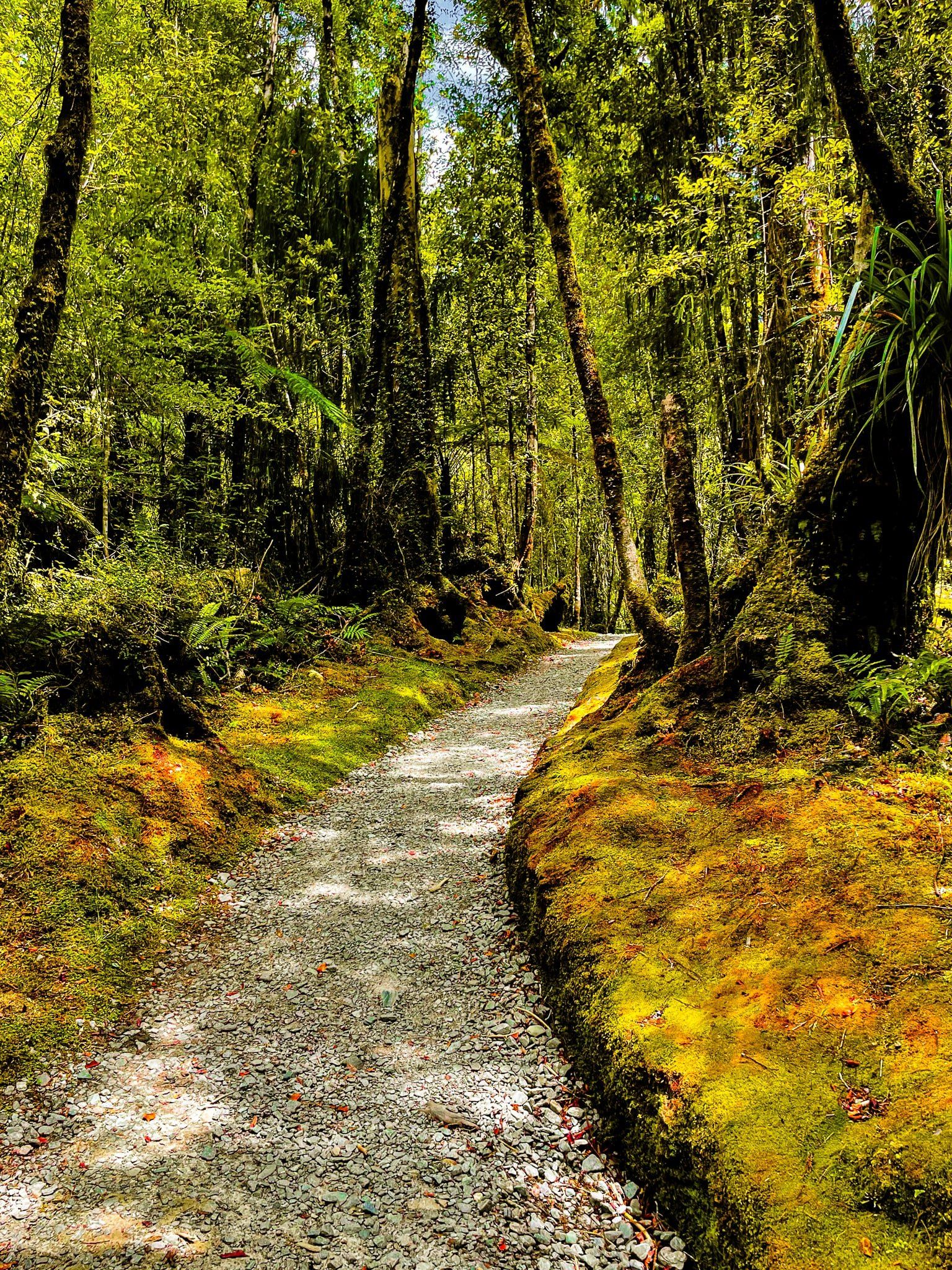
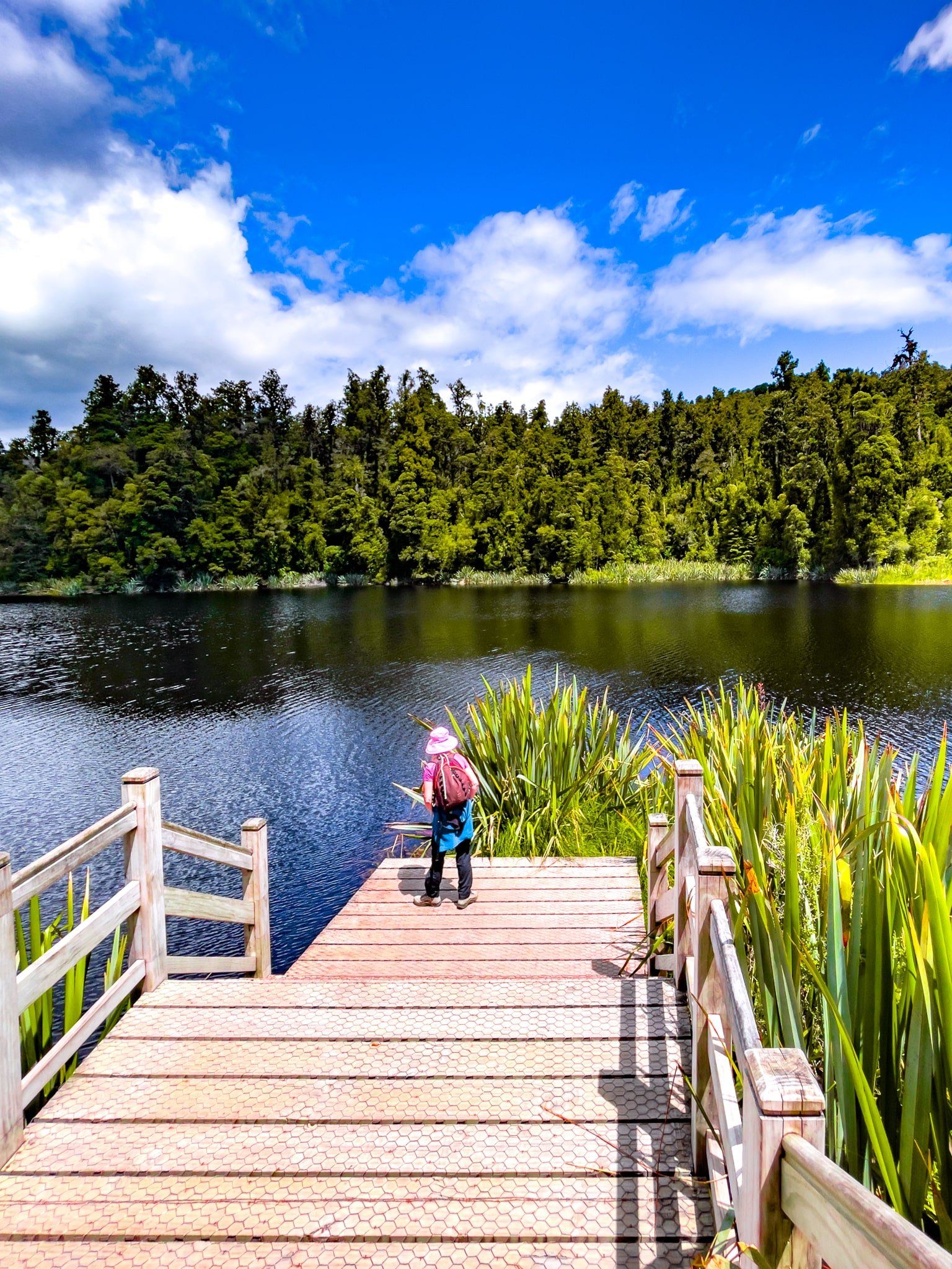
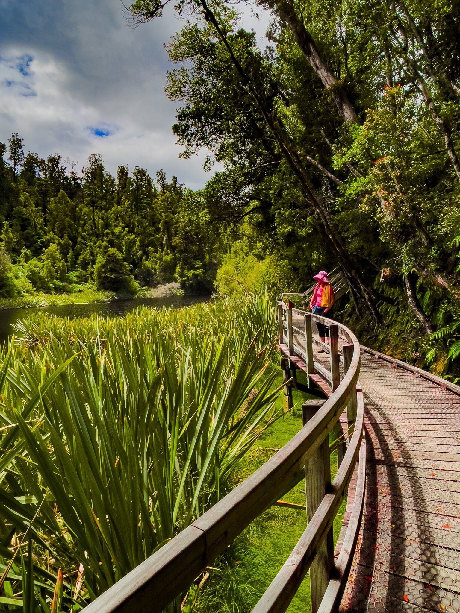
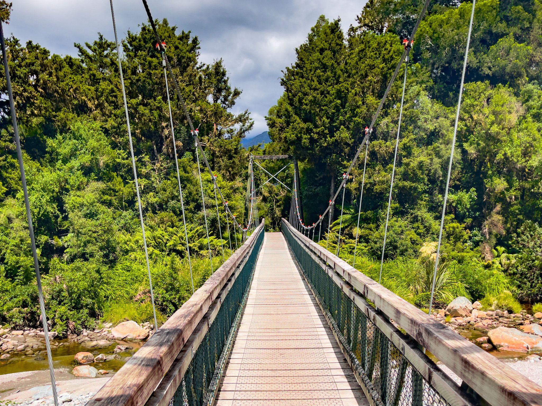
The walk begins at the large car park and Matheson Café, crossing a suspension bridge over the Clearwater River before following a path through farmland to the south end of the lake. From here, take the southwest side into the forest, dominated by tall kahikatea and rimu. Not long after entering the trees, the Jetty Viewpoint appears: a pontoon extending out over the water that gives the first unobstructed sight of the Alps on a clear day. The path to the jetty is suitable for wheelchairs and takes around 40 minutes return from the car park.
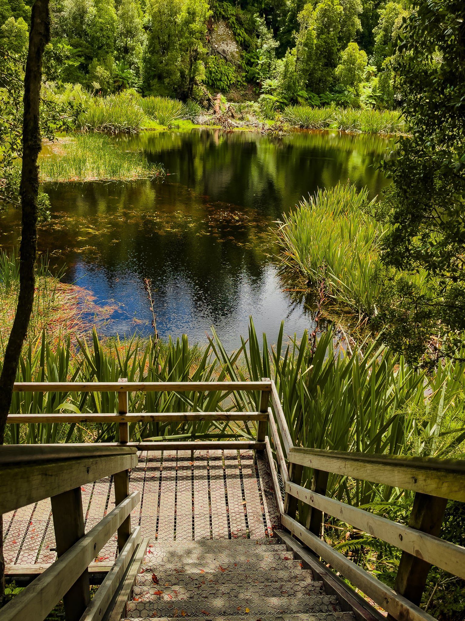
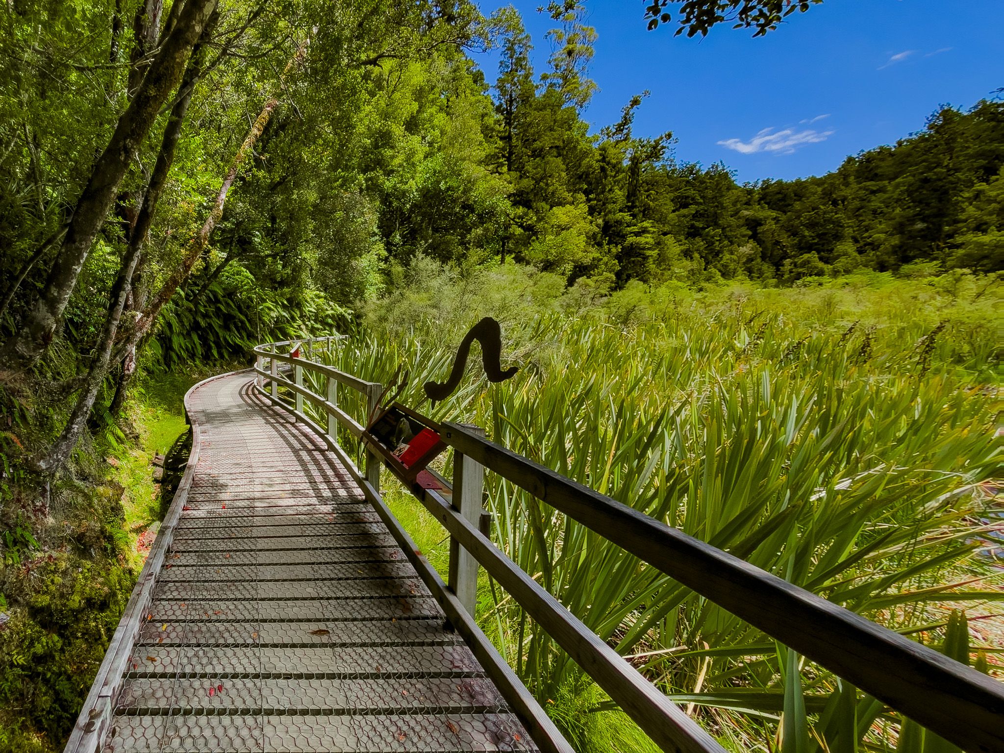
Continuing around the lake's western and northern sides, the track stays mostly within the forest before crossing a short boardwalk through a wetland at the lake's northern end. Immediately beyond the boardwalk, a steep set of steps climbs to the View of Views, a lookout that takes in the full length of the lake with the Southern Alps as a backdrop. This is the centrepiece of the walk.
From there, the northeast side leads to a third viewpoint at Reflection Island, where there is more space to pause, sit, and take in the surroundings. The full loop is 2.6 kilometres and takes about an hour and a half at an easy pace.
Best Time to Visit
Lake Matheson is a busy destination, and the car park and viewpoints can be crowded at peak times. The best conditions for photography are calm, fine mornings in Winter and Spring, when more snow sits on the mountains, and the low angle of the rising sun catches the peaks before wind disturbs the water. Evenings can also be rewarding, with the western sun behind you as you face the Alps. If you can visit outside Summer peak hours and public holidays, the viewpoints will be uncrowded.
Lake Gault Track
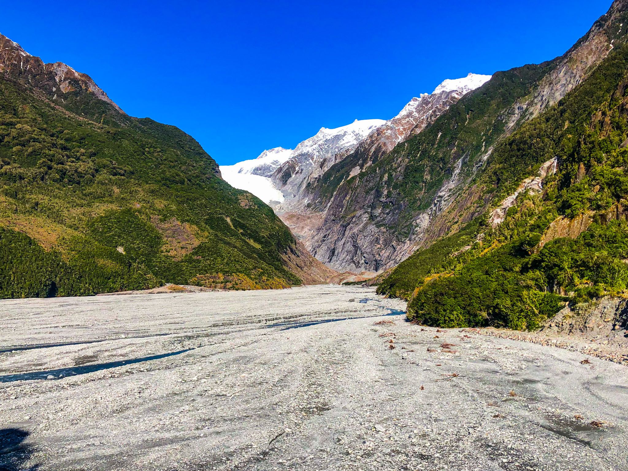
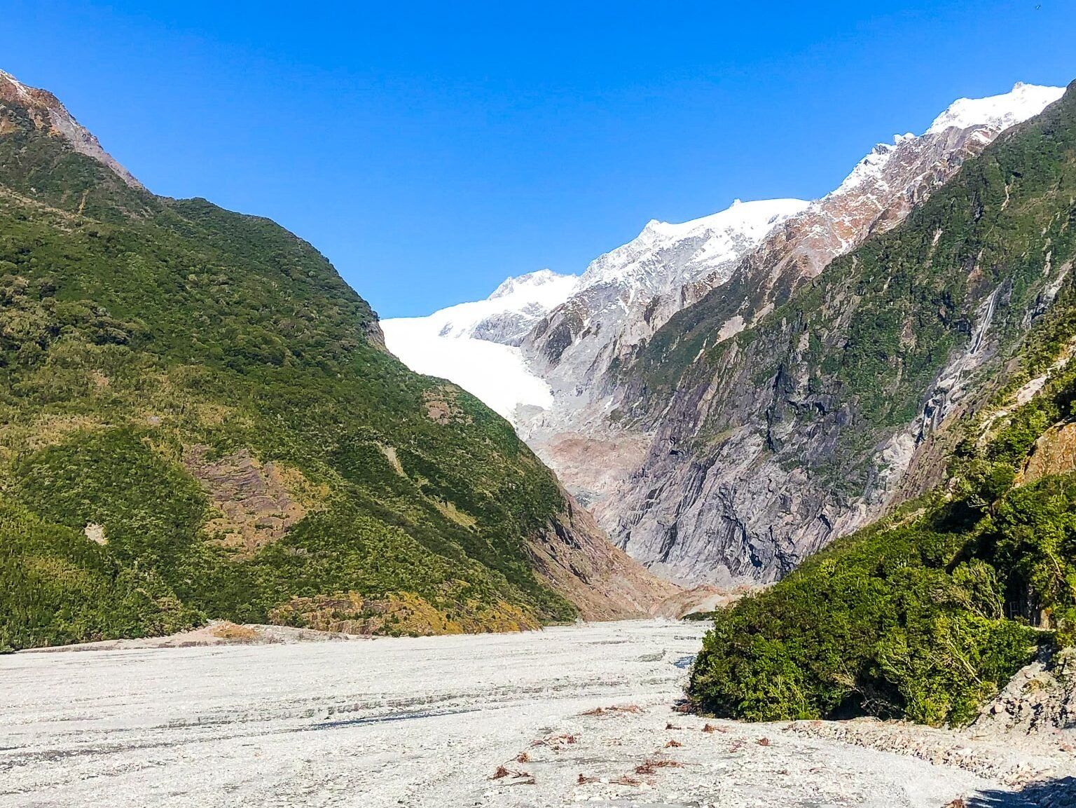
Near the end of the loop, an intersection marks the start of the Lake Gault Track, an eight-kilometre return route that climbs 200 metres through original podocarp forest to a lookout over a small glacial lake with views of the Southern Alps, Aoraki / Mount Cook, and Mount Tasman. The track was reopened in April 2019 after a 20-year closure, and it adds roughly 2.5 hours to the walk. If Lake Gault is your primary destination, bypassing the Matheson loop on the way up is quicker, though you will miss the main viewpoints.
Ecological Restoration
The rare Ōkārito brown kiwi, known as rowi (Apteryx rowi), has been released in the neighbouring Omoeroa Ranges since 2018. Fernbirds / mātātā can be found in the wetland around the lake. A local ecotourism operation began Project Early Bird in conjunction with DOC in 2018, setting 80 traps around Lake Matheson to control introduced predators such as stoats and rats.
How to Get There
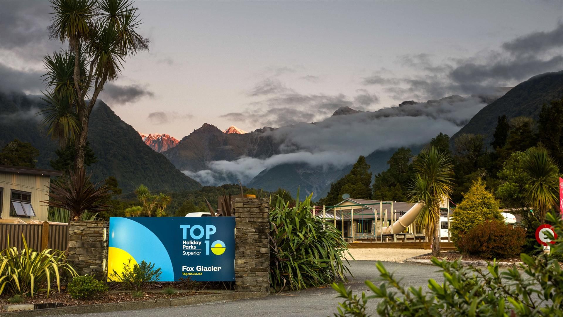
From Weheka / Fox Glacier township on State Highway 6, turn onto Cook Flat Road. After five kilometres, a signposted side road leads to the Lake Matheson car park, about one kilometre further. The junction on Cook Flat Road is next to the old Fox Glacier Hotel. The same road continues west to Gillespies Beach, 21 kilometres from the township.
Nearby places to visit include Franz Josef Glacier, Ōkārito, Lake Mapourika and the Roberts Point Track.
Photo Credit: Georgia Wallis (@the_cornishpixietravels) for the fabulous View of Views reflection shots.