Discover Waiheke Island: A Hauraki Gulf Gem
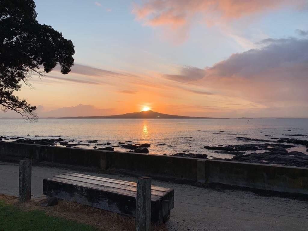
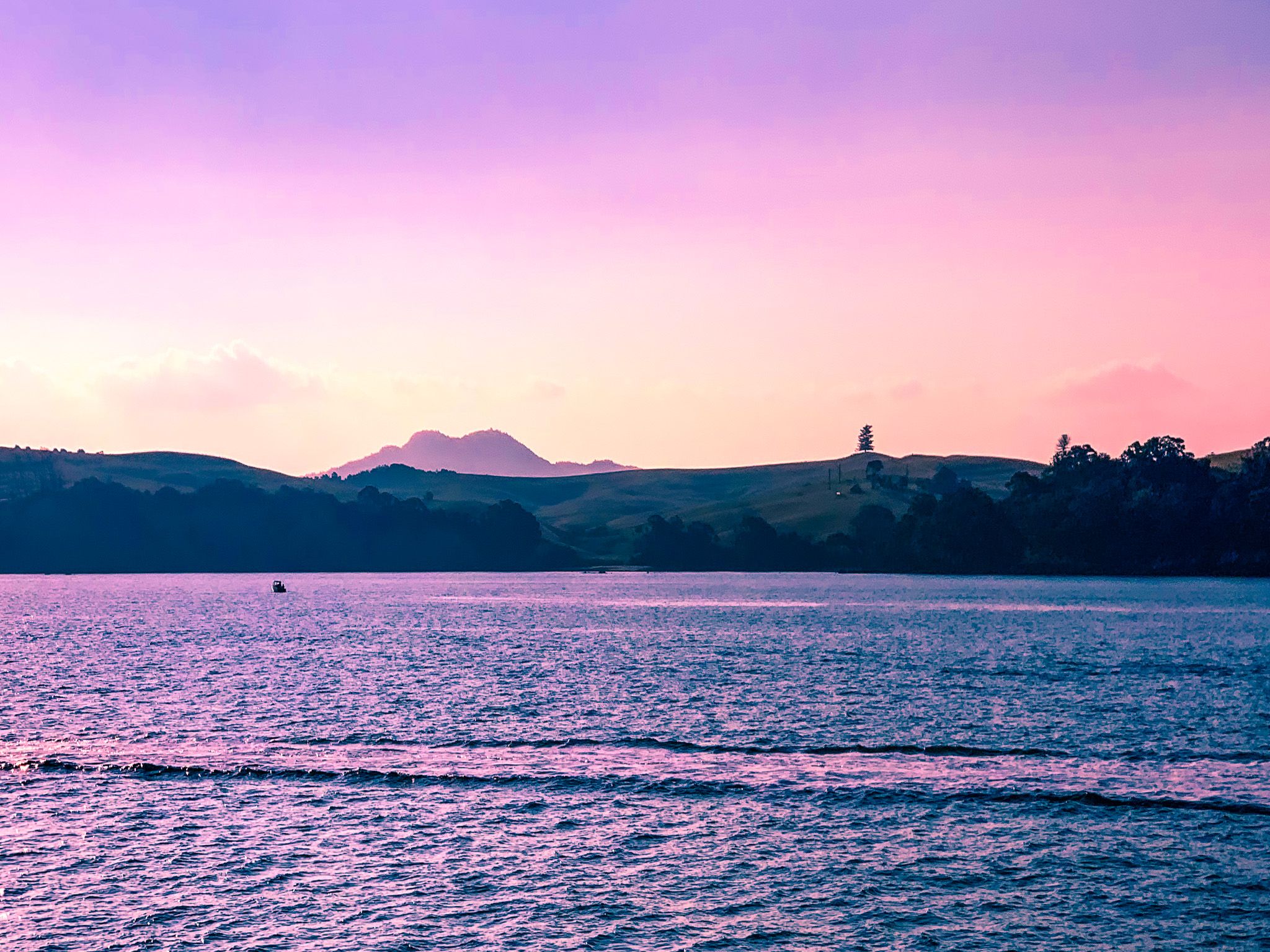
Waiheke Island is located east of Waitematā Harbour and Rangitoto Island in the Hauraki Gulf of Auckland. With a population of around 10,000, it is the second-largest island in the Gulf, spanning 19 km. Waiheke is easily accessible via a 35-minute ferry ride from Downtown Auckland to Matiatia Bay at the west end of the island. The island is known for its vibrant community, wineries, stunning beaches, and other diverse attractions, making it ideal for both day trips and extended stays.
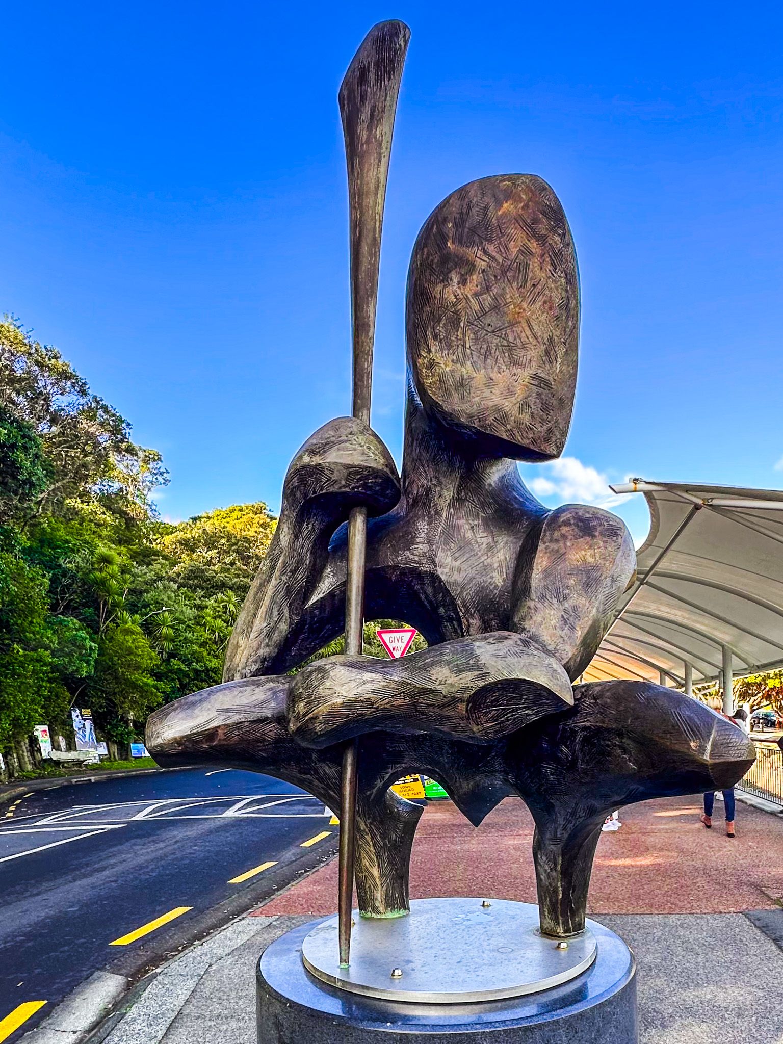
Exploring Waiheke's Attractions
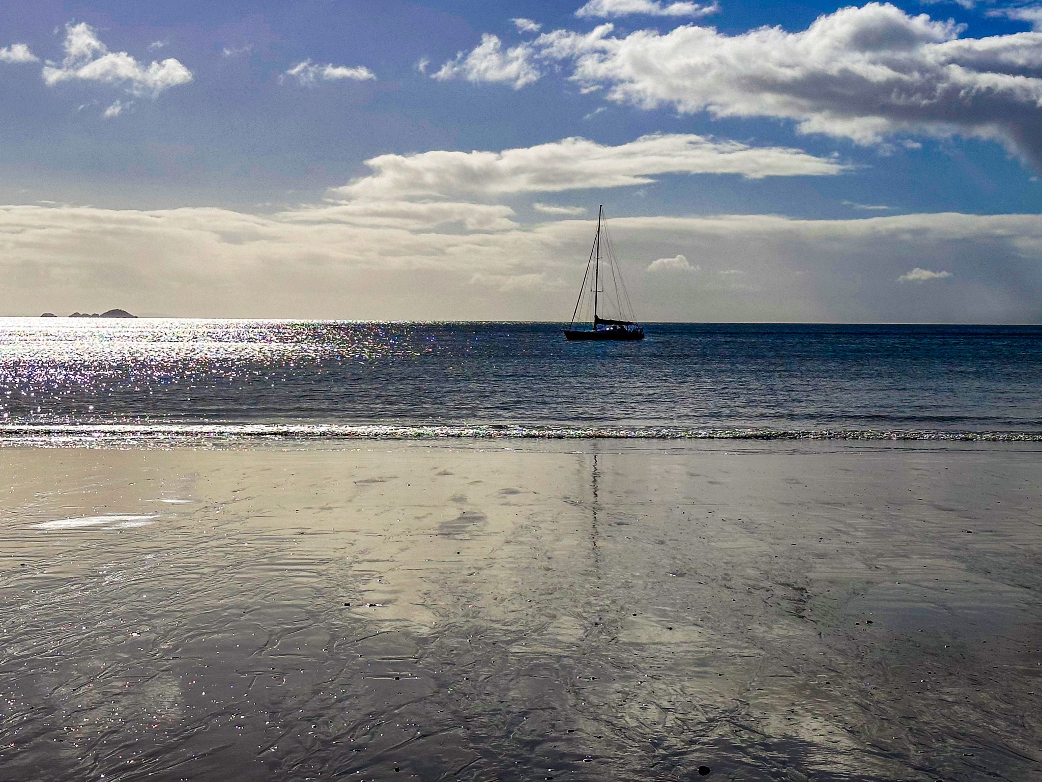
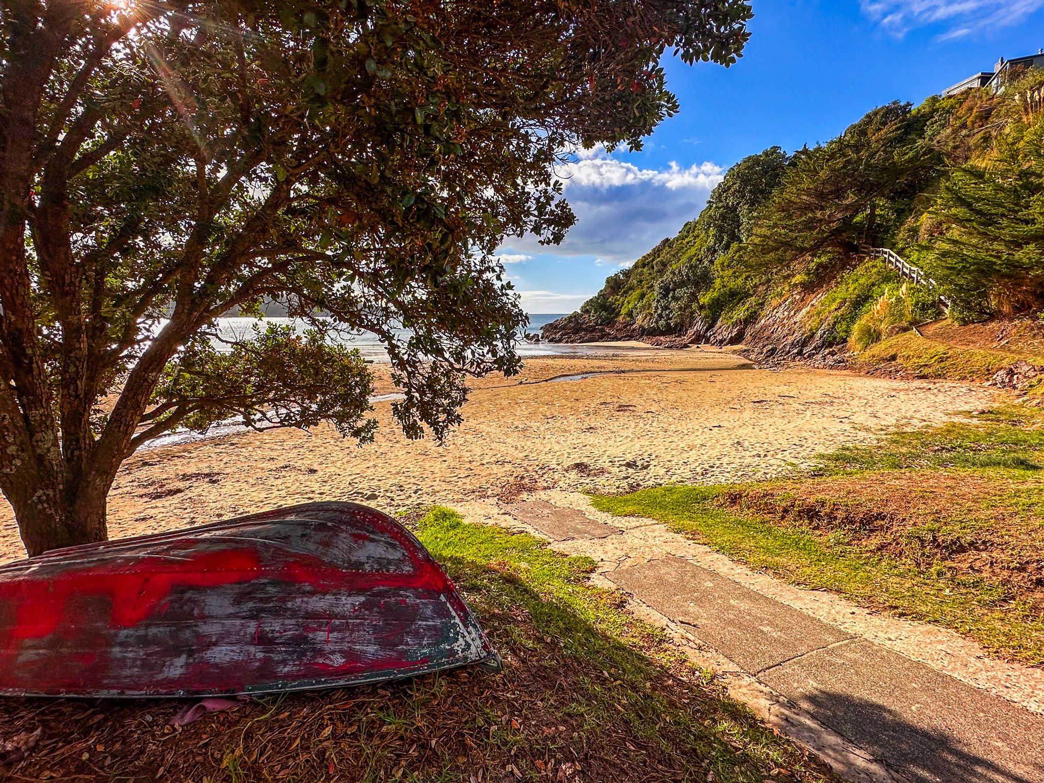
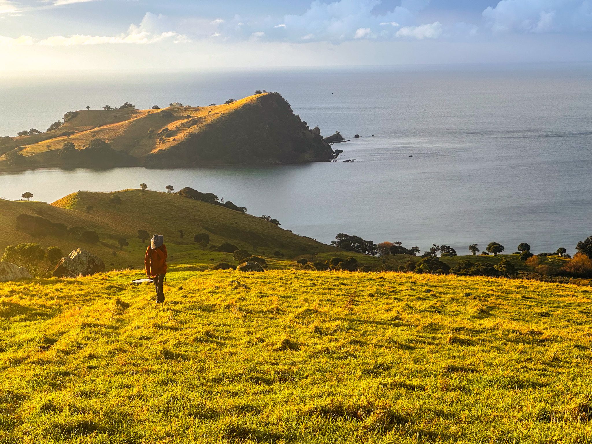
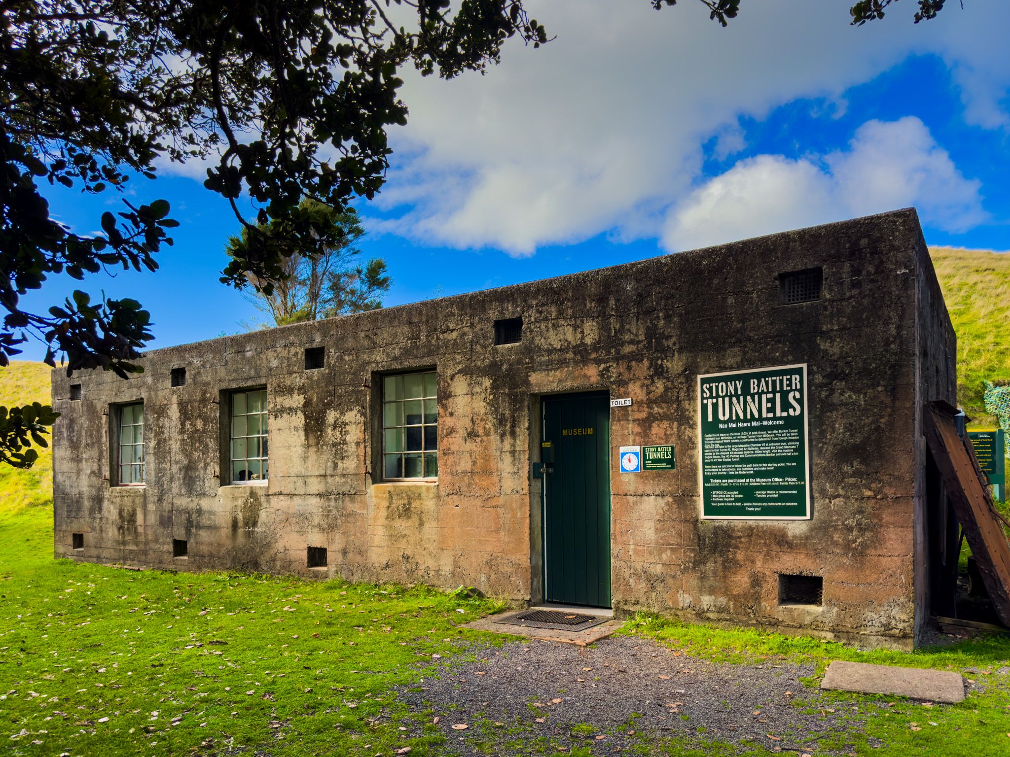
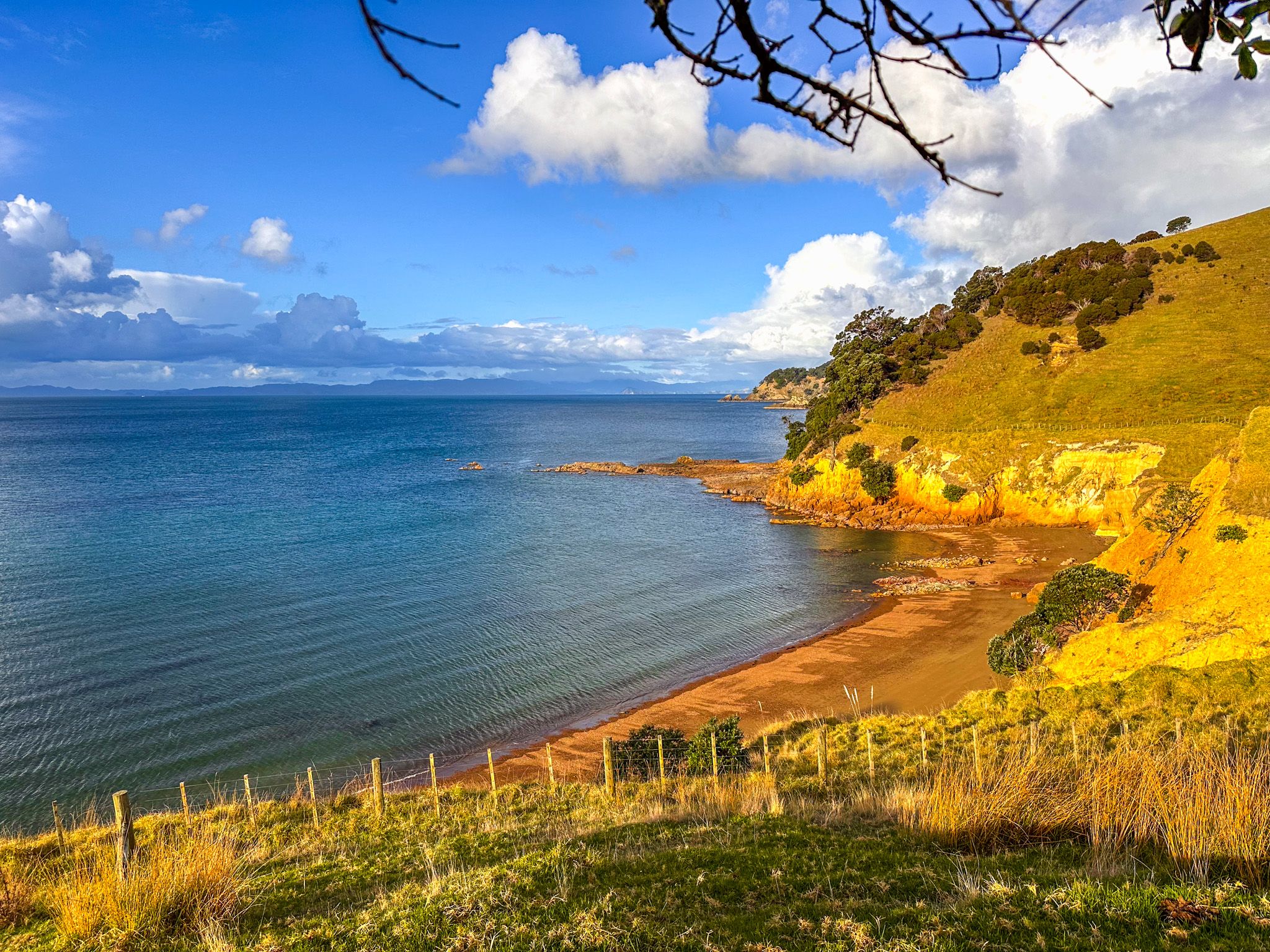
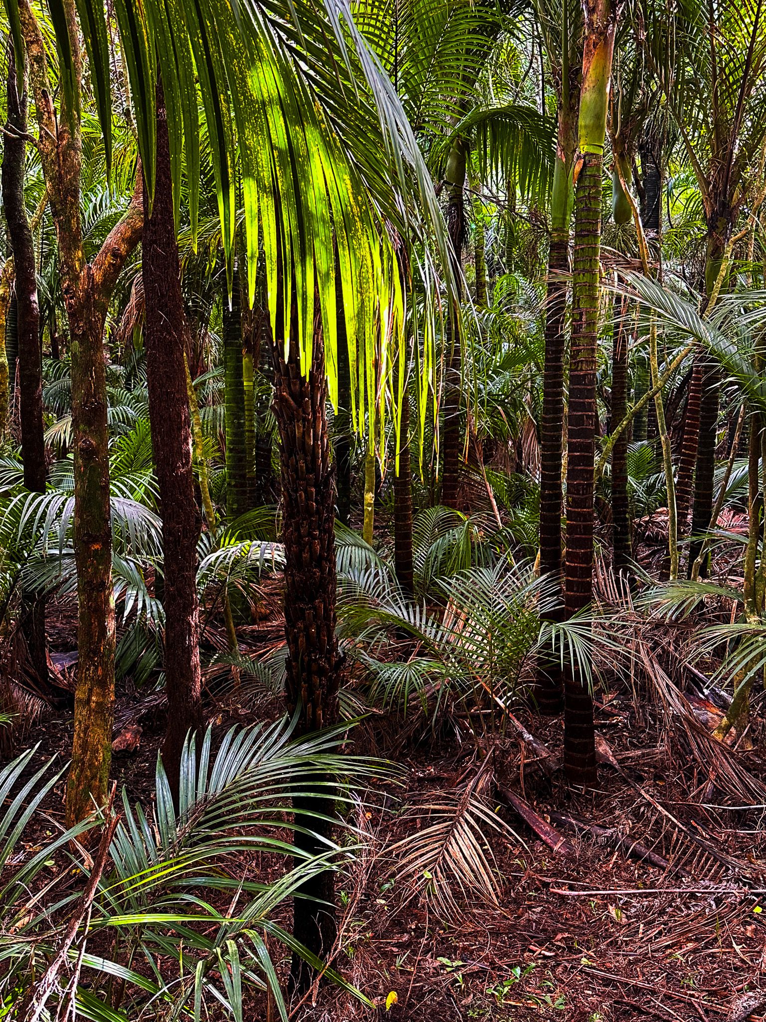
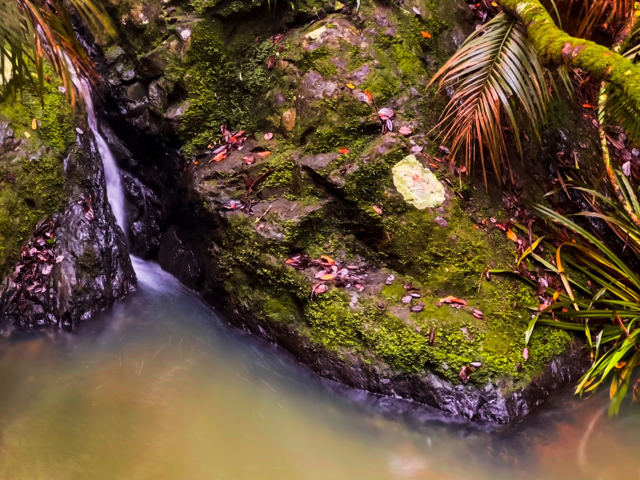
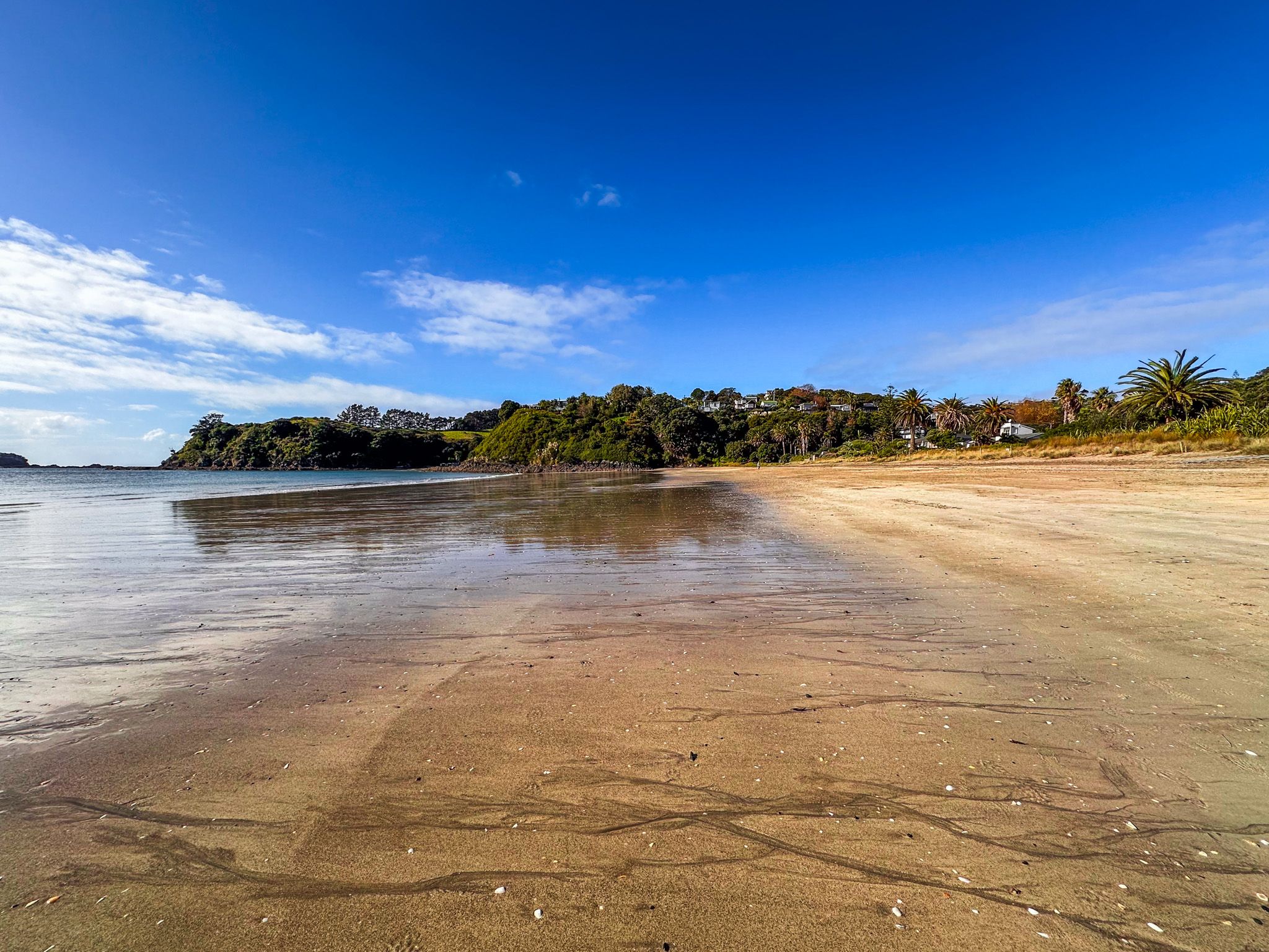
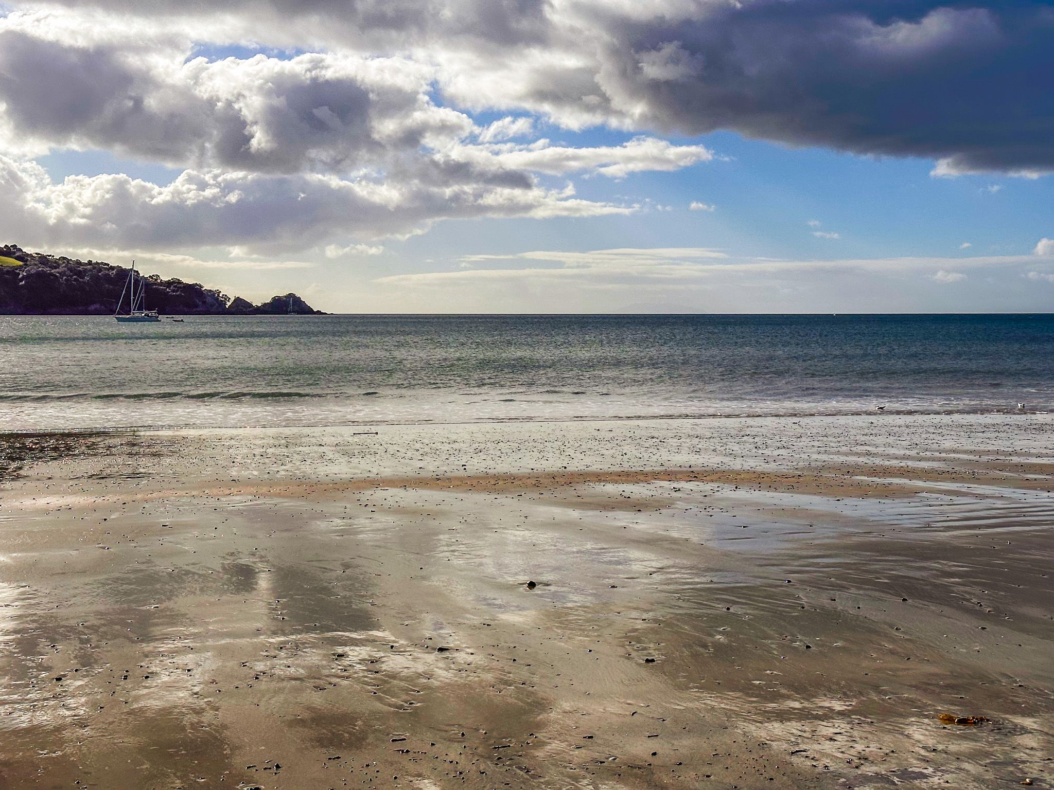
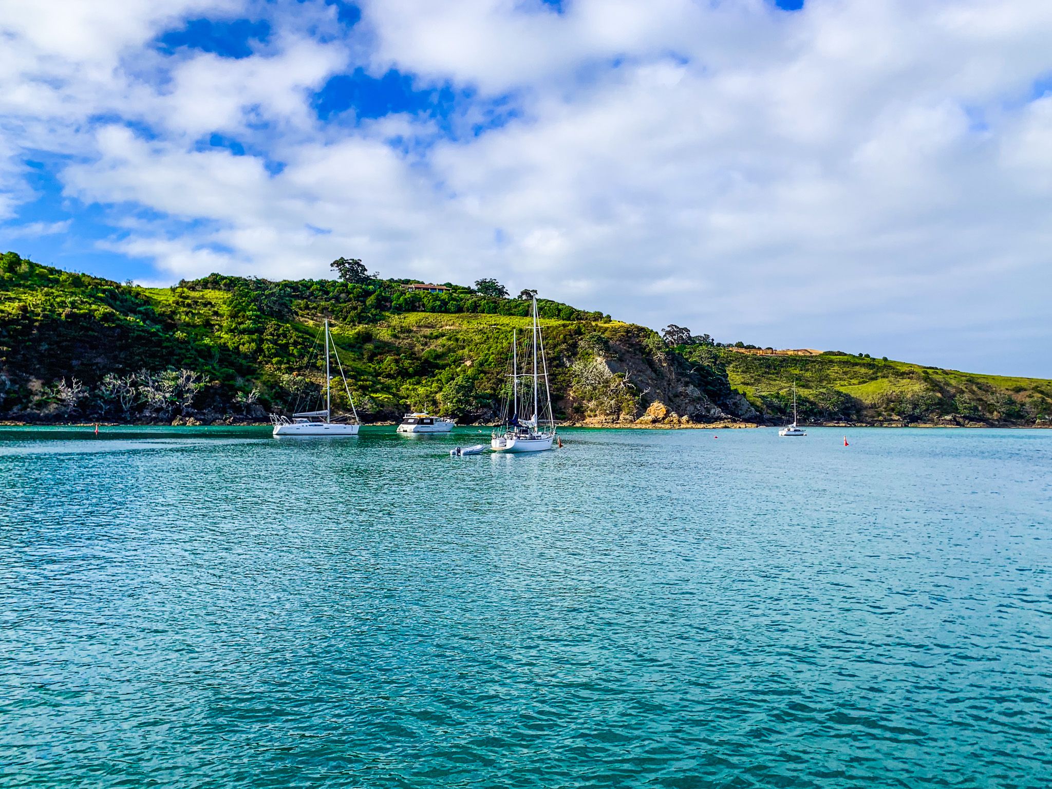
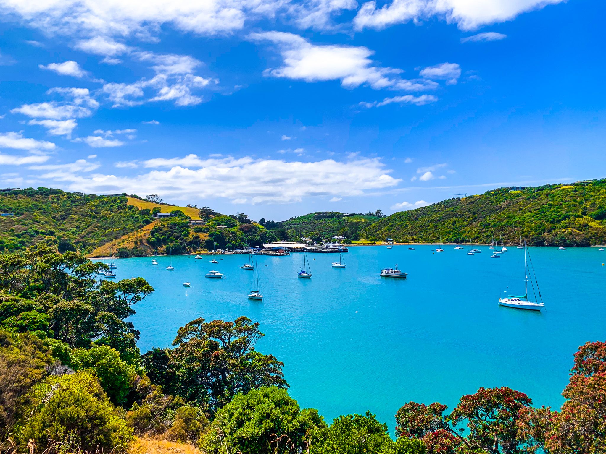
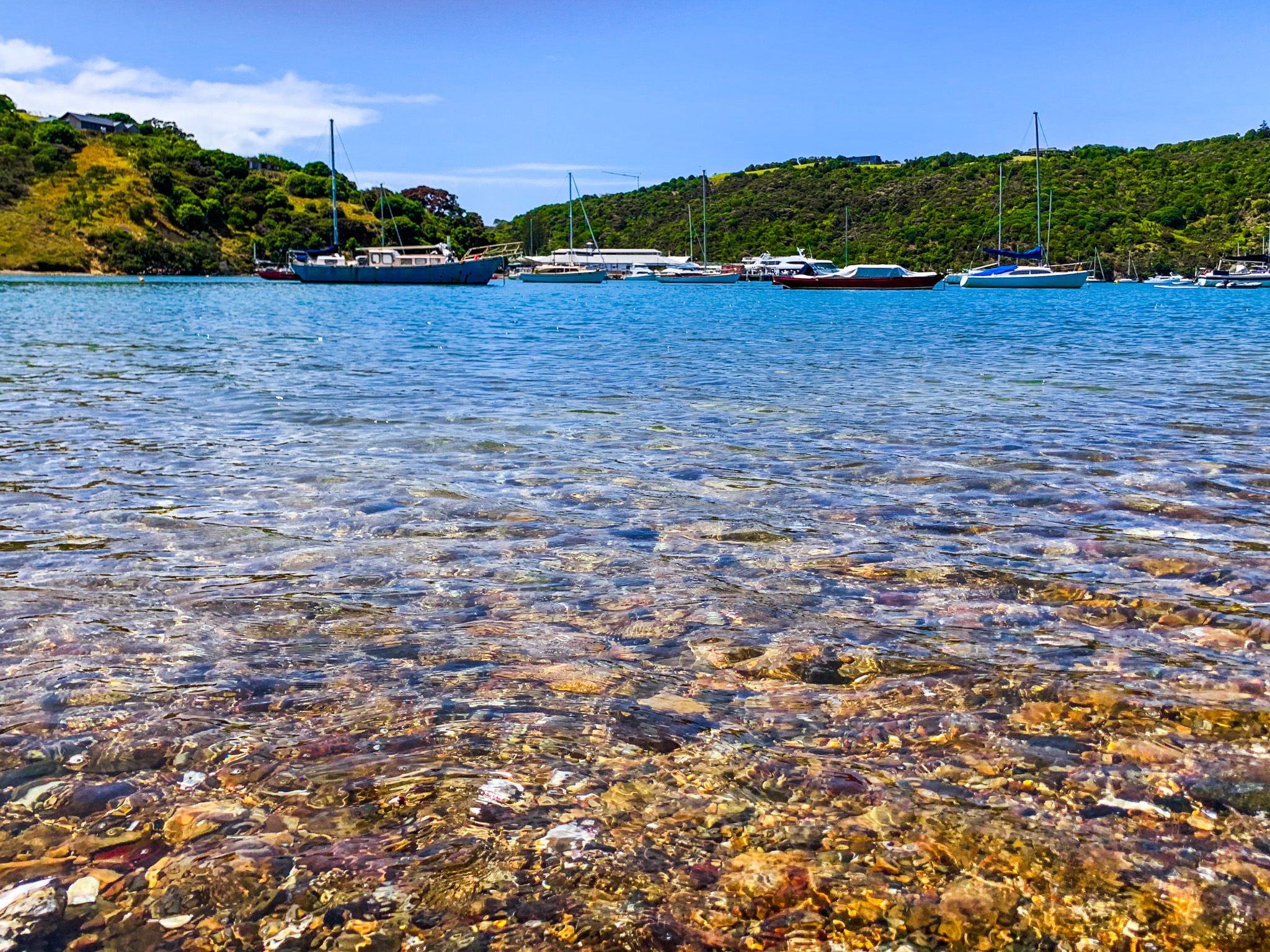
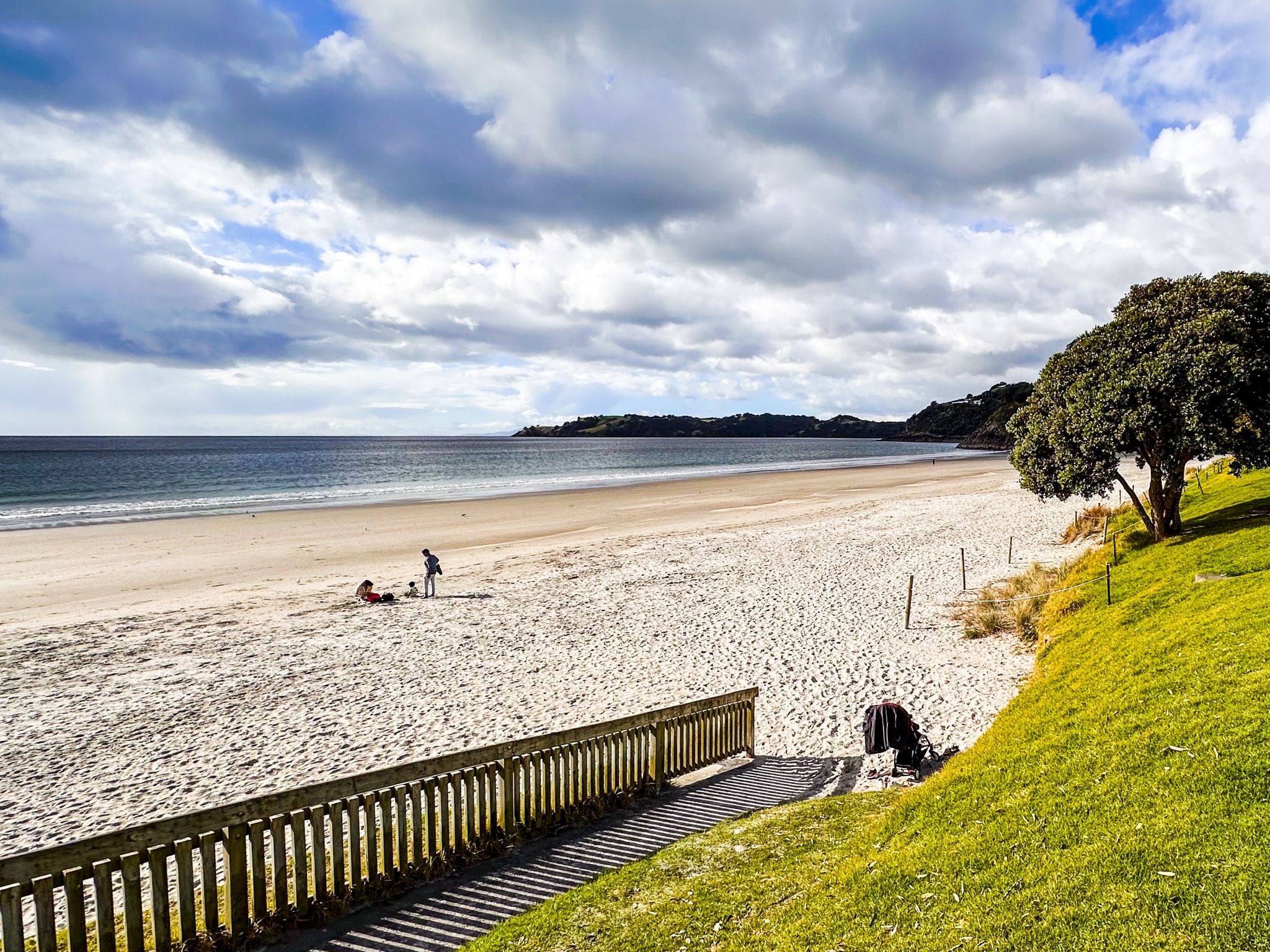
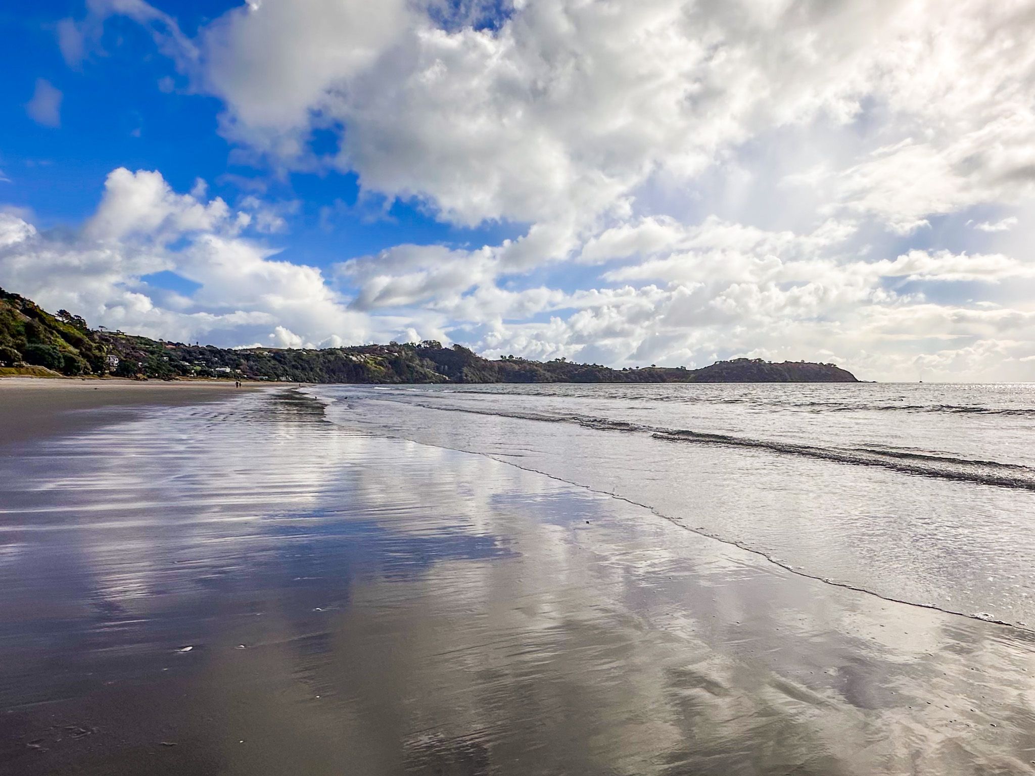
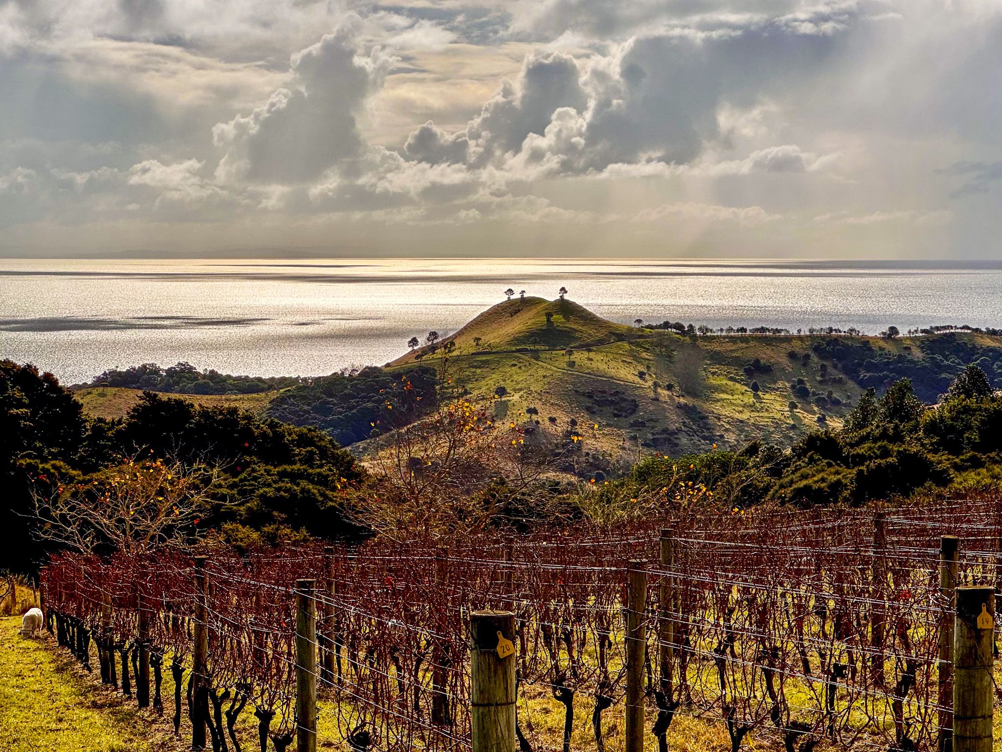
Waiheke Island is a haven for food enthusiasts, boasting approximately 30 wineries and numerous restaurants and cafés. For those who enjoy outdoor activities, the island offers several beautiful beaches and intriguing walking trails. Notable trails include Te Ara Hura, an 87 km loop that circles much of the island, and walks around Stony Batter and within Whakanewha Regional Park.
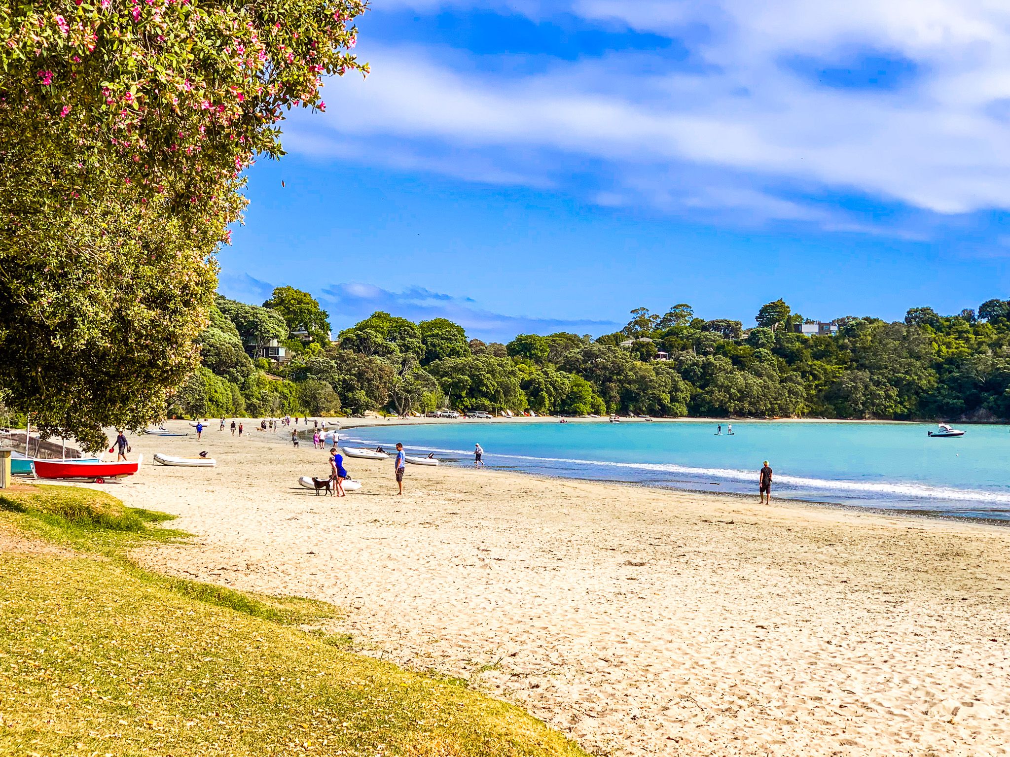
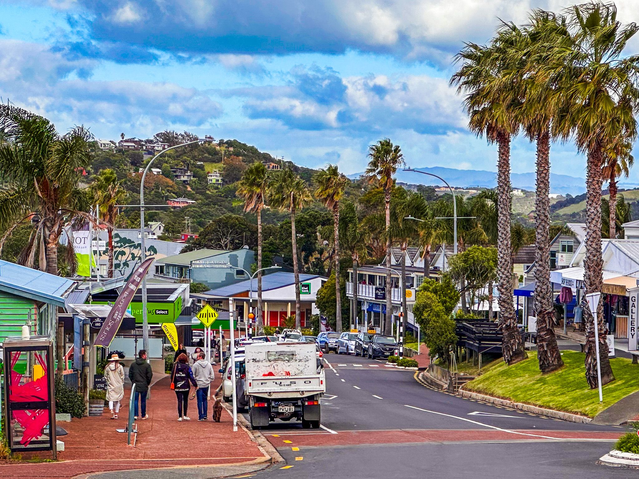
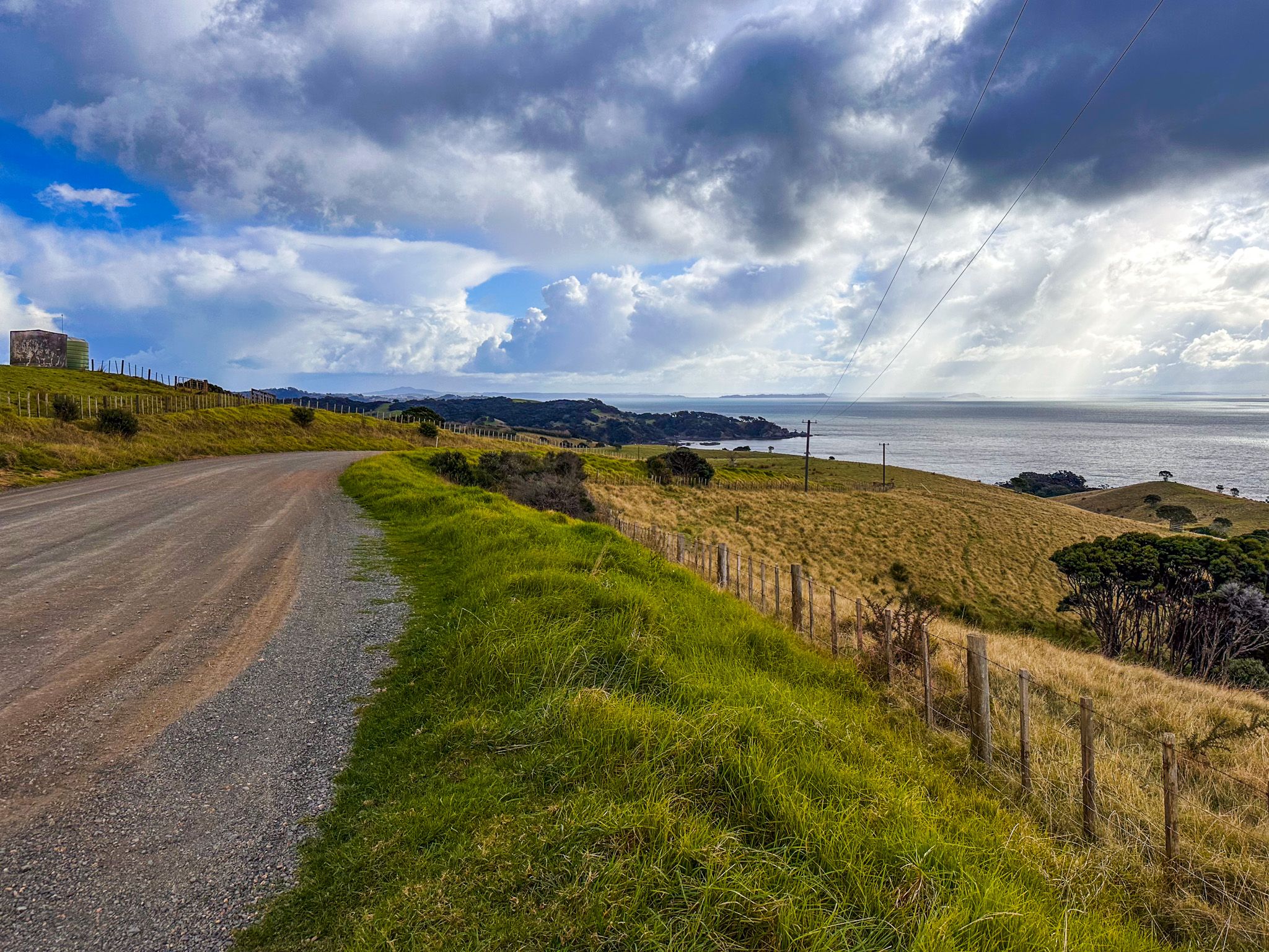
From Matiatia Bay Ferry Terminal, you can take a 15-minute walk east to the main town of Oneroa. Alternatively, explore the scenic coastlines on the bay's south side or north side along sections of Te Ara Hura, looping back to Oneroa. This route offers cliff-edge views of the Hauraki Gulf, Rangitoto, and distant Downtown Auckland, along with picturesque beaches and impressive homes. A visit to a winery is easily incorporated into your walk on the south side.
Getting Around the Island
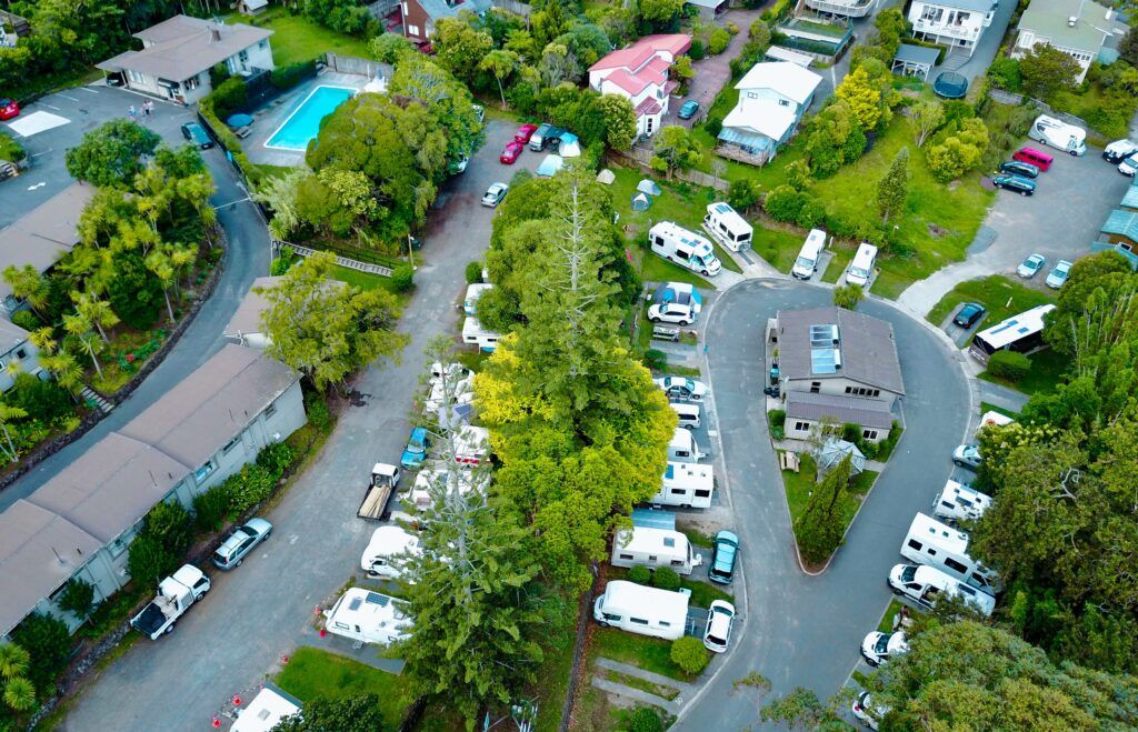
Transportation options on Waiheke Island are plentiful. You can rent a car or bike at the terminal or take a bus to nearly any location on the island. Alternatively, bring your car via ferry from Downtown Auckland or Half Moon Bay in east Auckland. Keep in mind that the island's terrain is hilly, and roads can be narrow and winding. At the east end of the island, there are also gravel roads.
Geological Backdrop
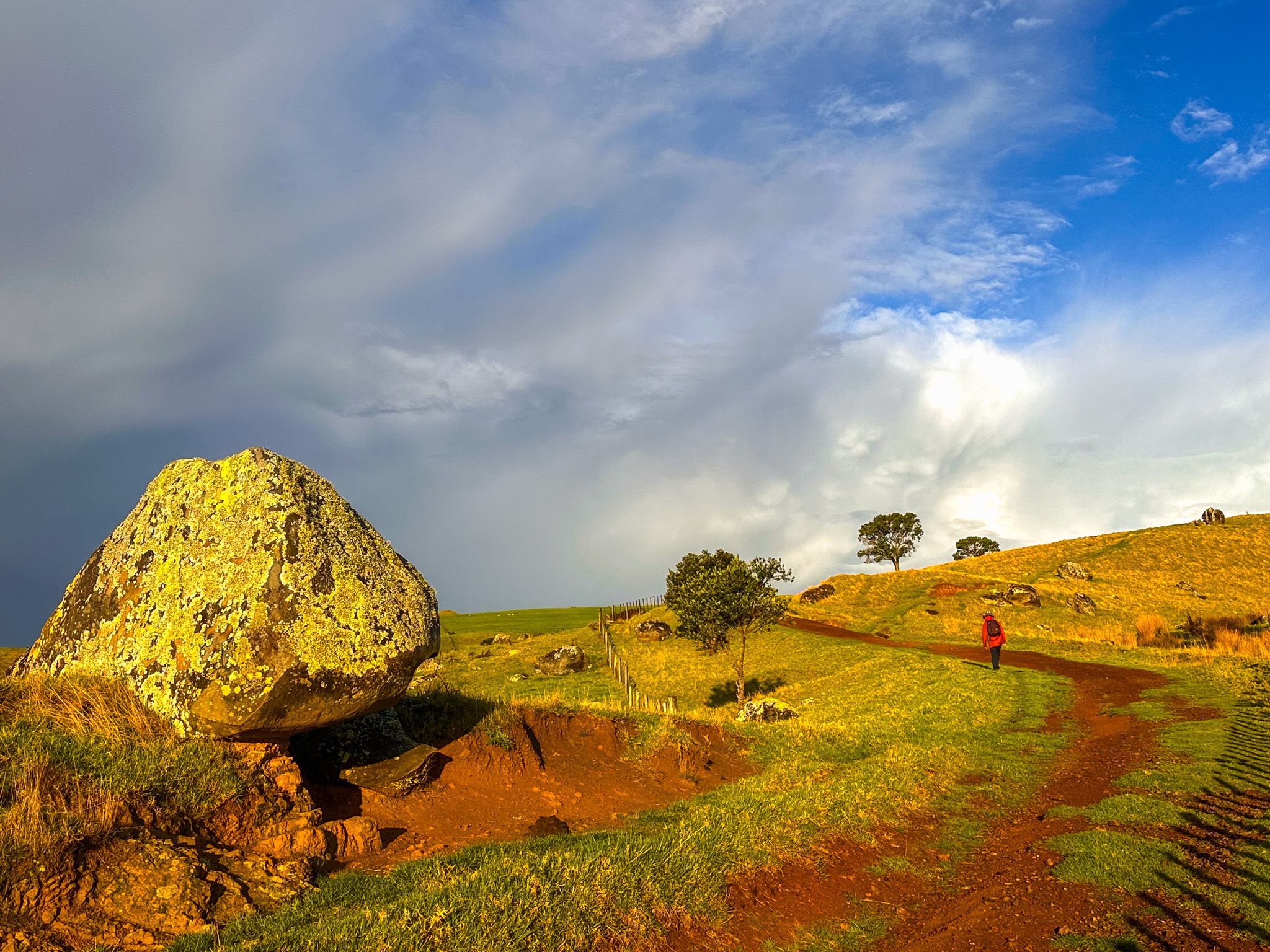
The island's geological history dates back up to 15 million years, primarily consisting of remnants from the ancient Kiwitahi Volcanic Group. During the last ice age, Waiheke was connected to the mainland but became an island again as sea levels rose around 7,000 years ago.
Māori History and European Settlement
In the 1300s, several Māori migratory waka, including Tainui, Aotea, Tākitimu, and Mātaatua, visited the Hauraki Gulf. Permanent settlements were established on Aotea / Great Barrier and Waiheke, with Ngāti Pāoa becoming the dominant iwi by the early 1700s. The original Māori name for Waiheke was Te Motu-arai-roa, meaning 'the long sheltering island,' later changed to Motu-Wai-Heke, 'island of trickling waters,' by the time Captain James Cook arrived in 1769.
Musket Wars and European Settlement
Cook noted the island's ancient kauri trees, ideal for Royal Navy ship masts. In the early 1800s, whalers and sealers began trading with Ngāti Pāoa, followed by cutting in the kauri forests. However, the iwi faced challenges during the Musket Wars in the 1820s, when they were attacked by Ngāpui led by Hongi Hika. Ngāti Pāoa was forced to abandon the island after a significant battle at Onetangi, meaning "Weeping Sands." Peace was eventually restored through a strategic marriage between a Ngāpuhi chief and a Ngāti Pāoa chieftainess.
With peace, European activity increased with kauri harvesting, and by 1836, a shipyard was established at Man o’War Bay. Ngāti Pāoa provided timber and food, contributing to Auckland's early development. However, by the 1850s, much of the island was sold, with Ngāti Pāoa retaining only 840 hectares at Te Huruhi.
Modern Development and Tourism
Waiheke Island's development as a destination began in the 1870s, attracting Auckland day-trippers and leading to the growth of small towns. By the 1900s, Waiheke's landscape had transformed, with cattle farming replacing the once-abundant kauri trees.
The island became a popular day-trip destination for Aucklanders, leading to the development of holiday homes and beach-centred settlements at Onetangi, Palm Beach and Oneroa. Electricity arrived in 1954, and since the 1980s, Waiheke has evolved into a vibrant community with a flourishing wine industry, hospitality services, and modern ferry connections. The area between Oneroa and Palm Beach is now almost fully developed, as is the coastline near Onetangi Beach.
The restoration of WWII fortifications at Stony Batter adds historical intrigue to the island's appeal.
How to Get to Waiheke Island
To reach Waiheke Island, take a 35-minute ferry ride from Downtown Auckland to Matiatia Bay. Car ferries also depart from Half Moon Bay in east Auckland.
Other islands to visit in the Hauraki Gulf include Aotea Great Barrier Island, Kawau Island, Tiritiri Matangi and Rotoroa Island.