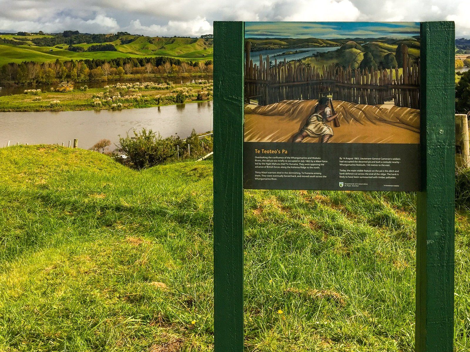
Discovering Historic Mercer
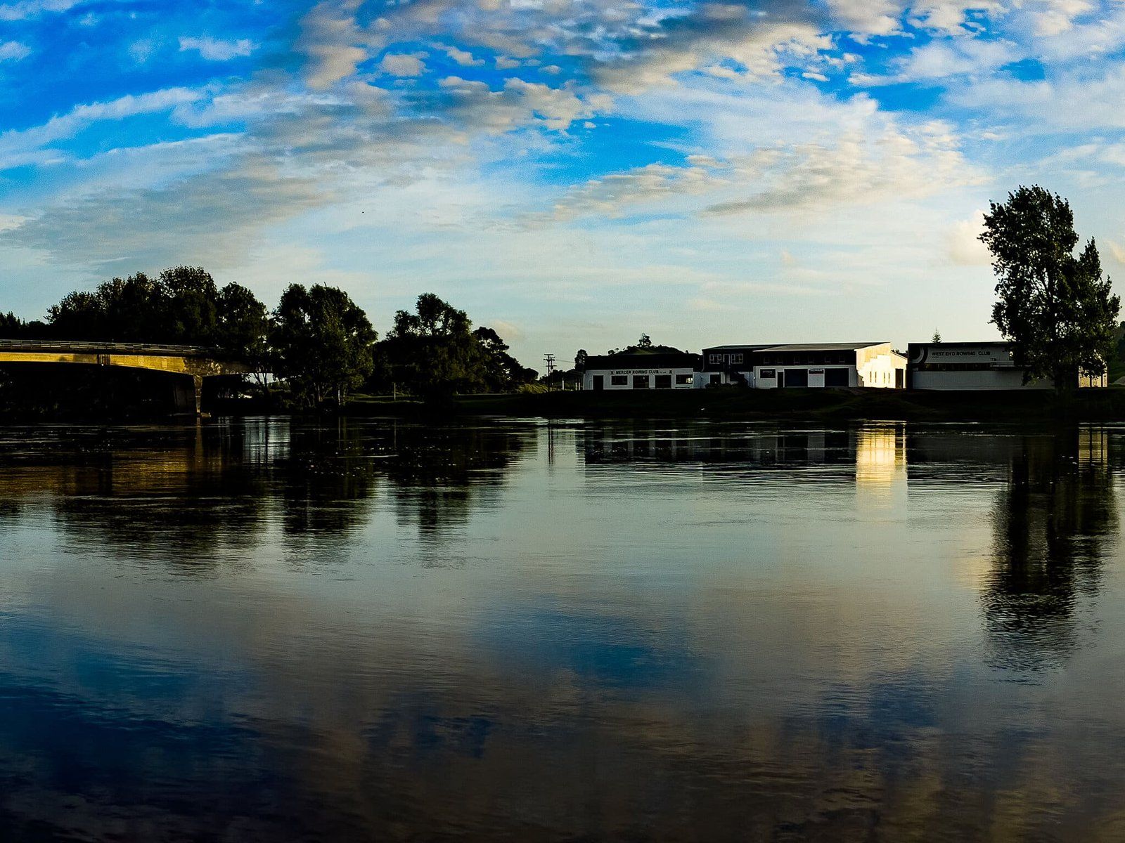
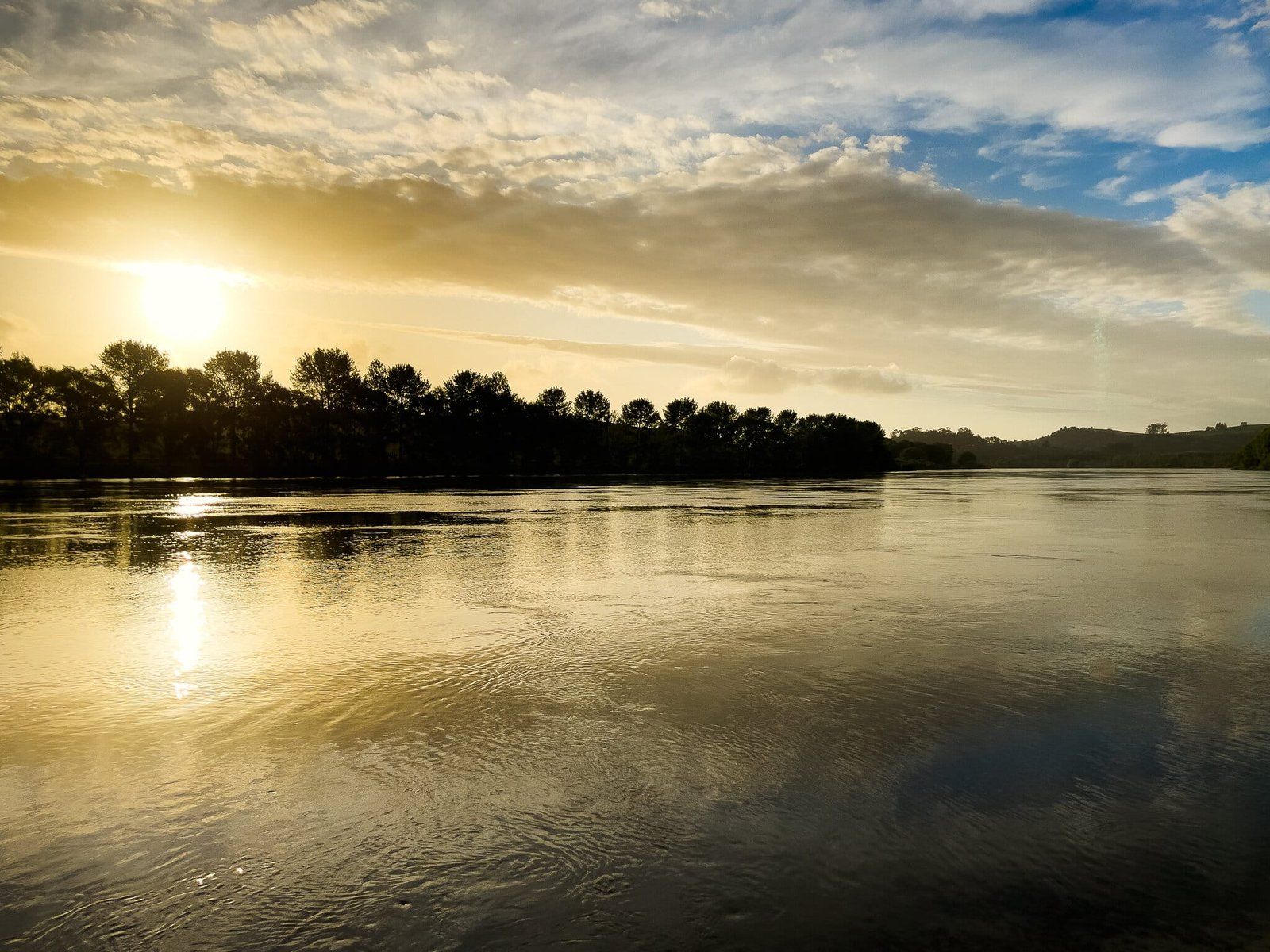
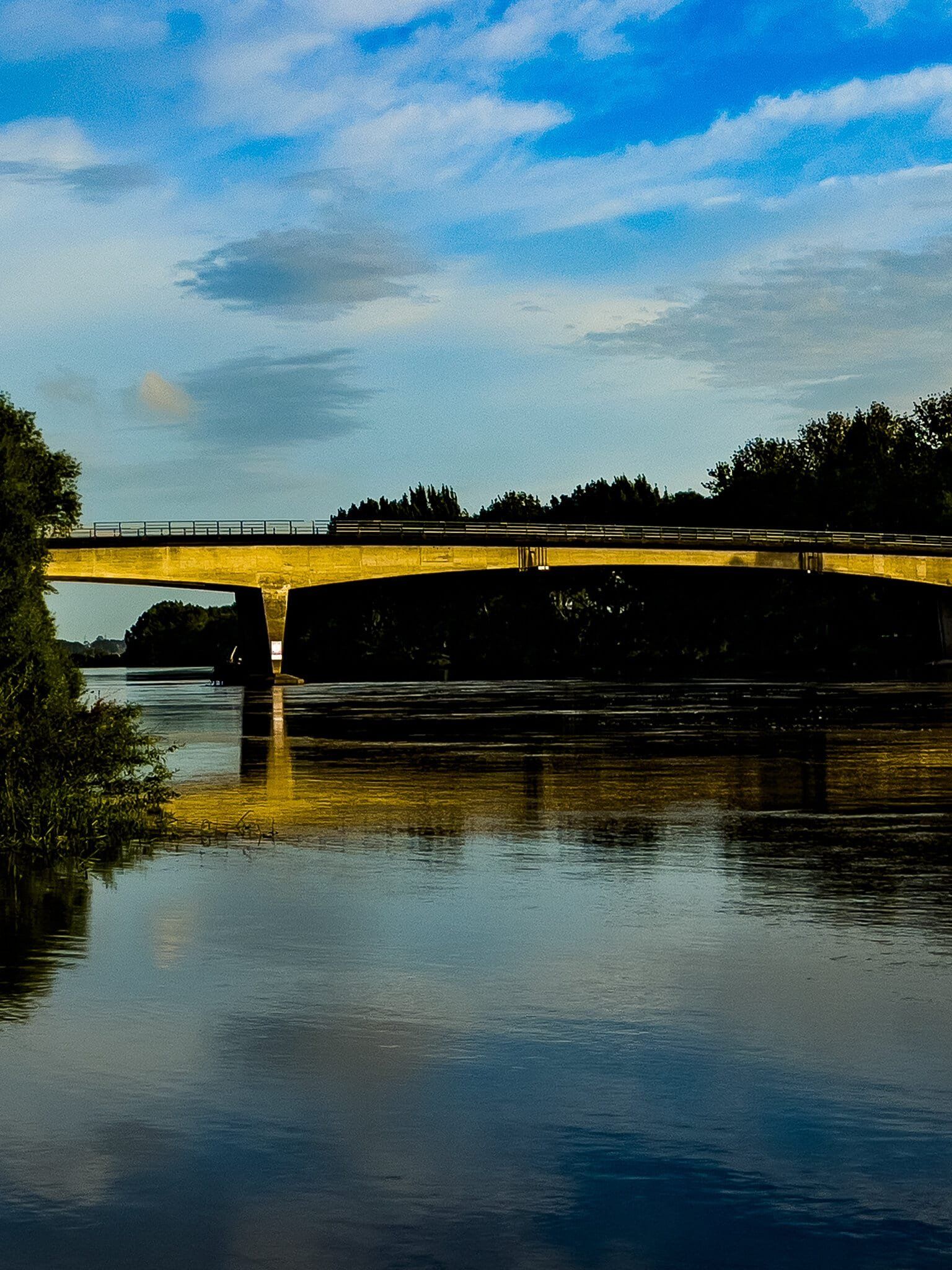
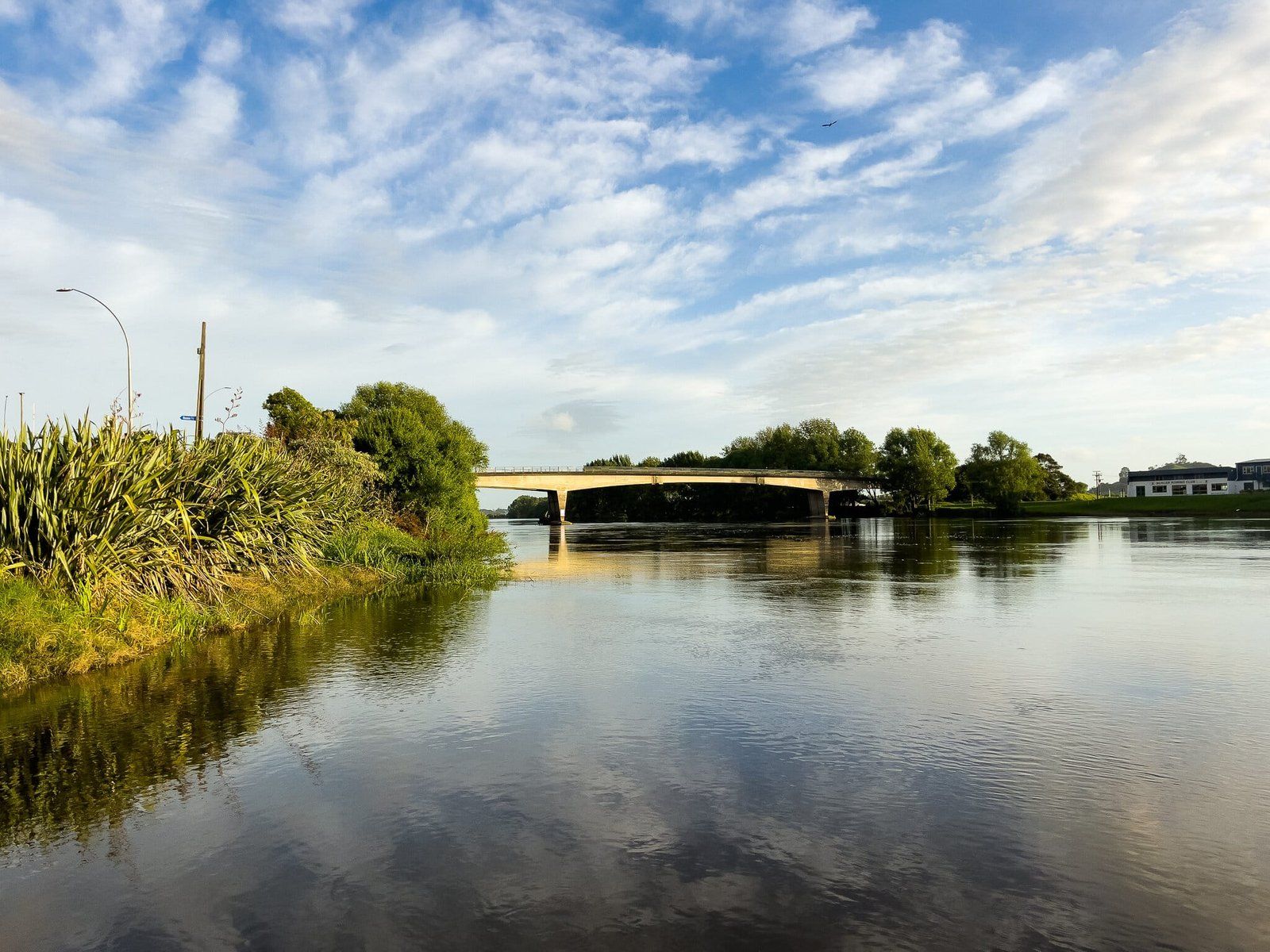
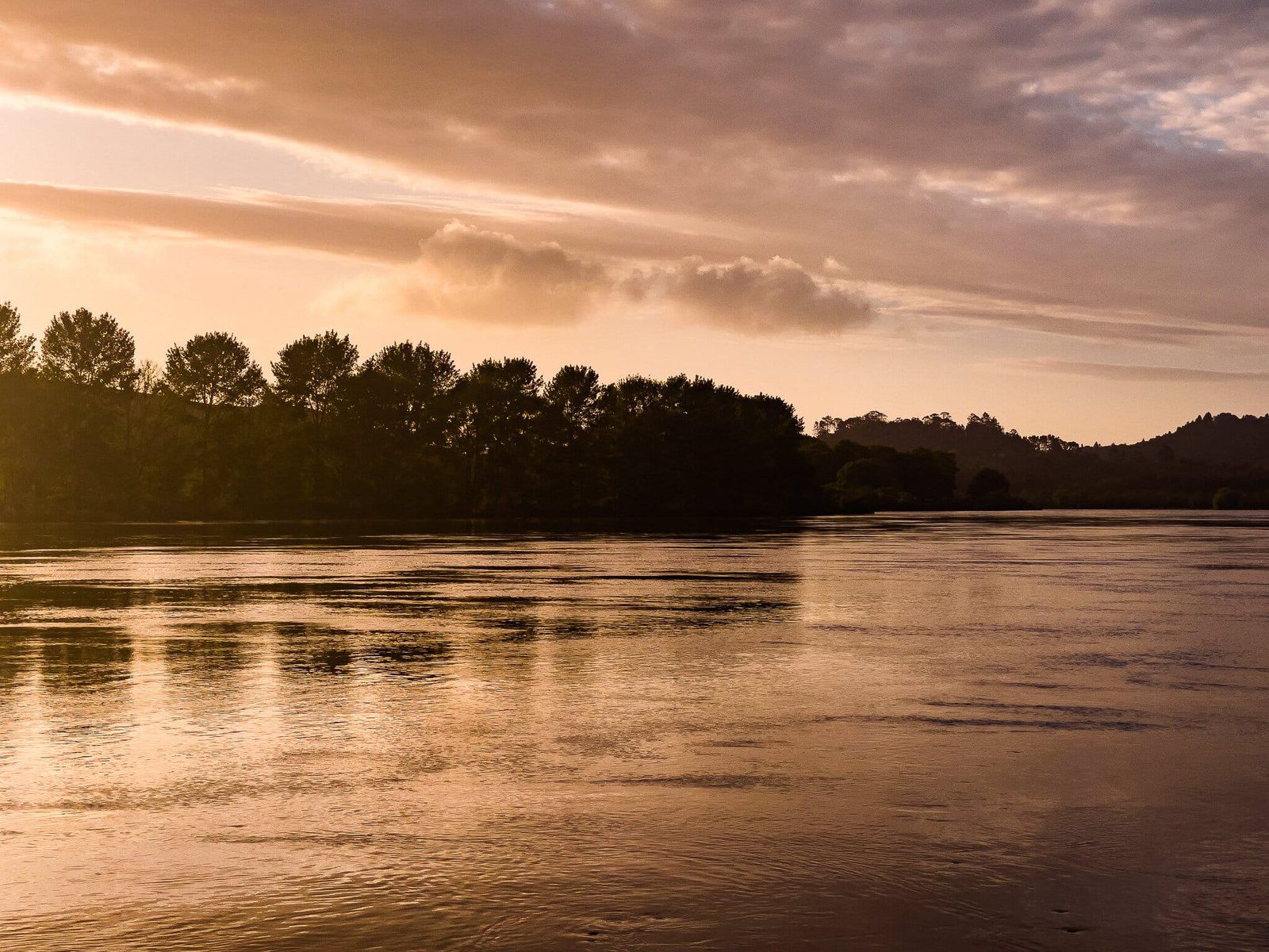
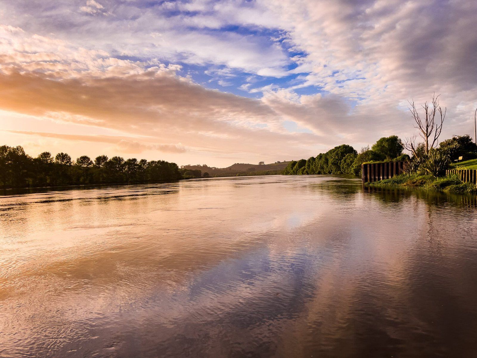
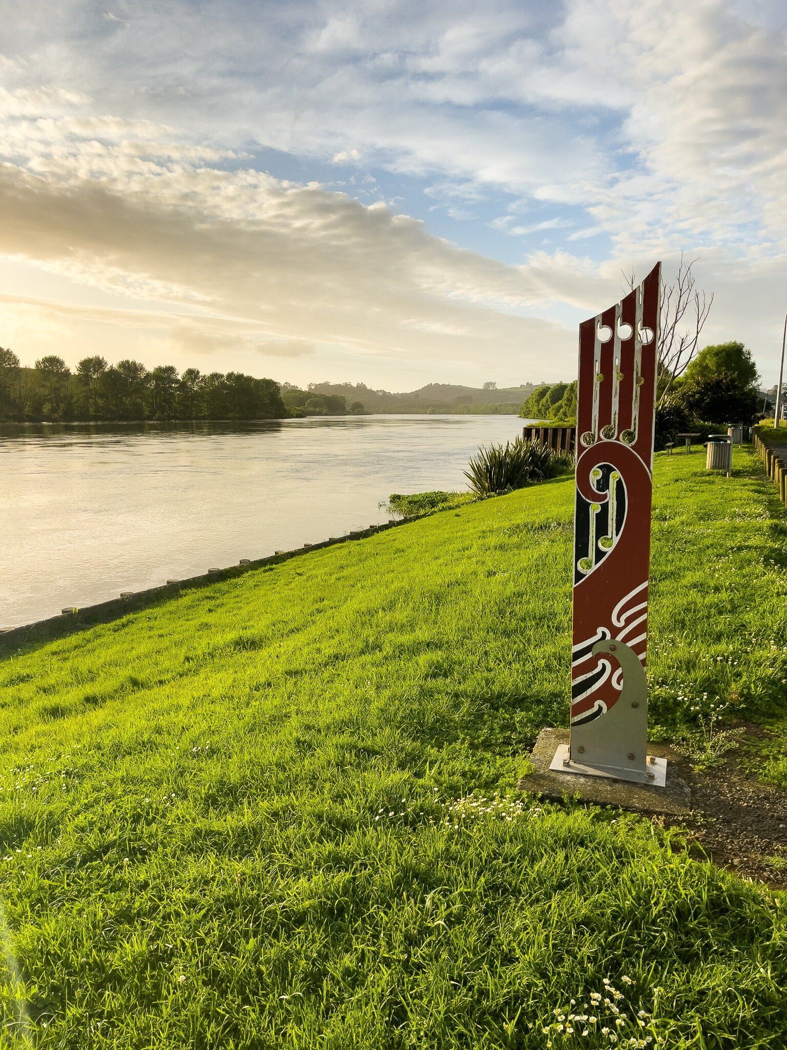
Mercer is a small town located along the Waikato Expressway, adjacent to the Waikato River, where the river shifts direction from north west to west. This town is historically significant for its role during the government's invasion of the Waikato. At the start of the conflict, on 17 July 1863, a battle at the nearby Koheroa high point resulted in the deaths of 15 Māori defenders. Mercer was subsequently named in honour of Captain Henry Mercer, who lost his life later that year at Rangiriri.
Historical Significance and Memorials
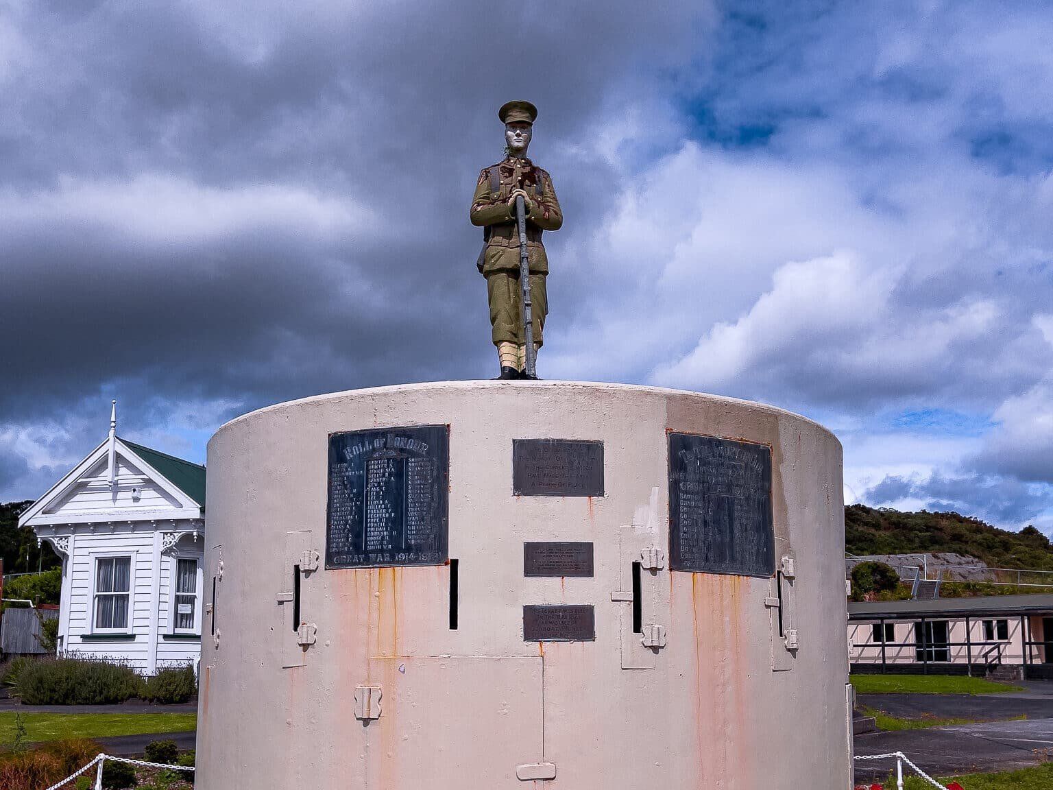
In 1866, the navy's river gunboat, Pioneer, sank at the entrance to the Manukau Harbour. A gun turret from this vessel is now part of the Mercer war memorial. The inscription on the post-invasion memorial refers to the “Māori Land Wars,” reflecting the historical context of the time. The invasion is now more broadly described as part of the New Zealand Wars. Aside from this turret, there are no other visible remnants of the invasion in Mercer.
A Refuelling Stop with Scenic Views
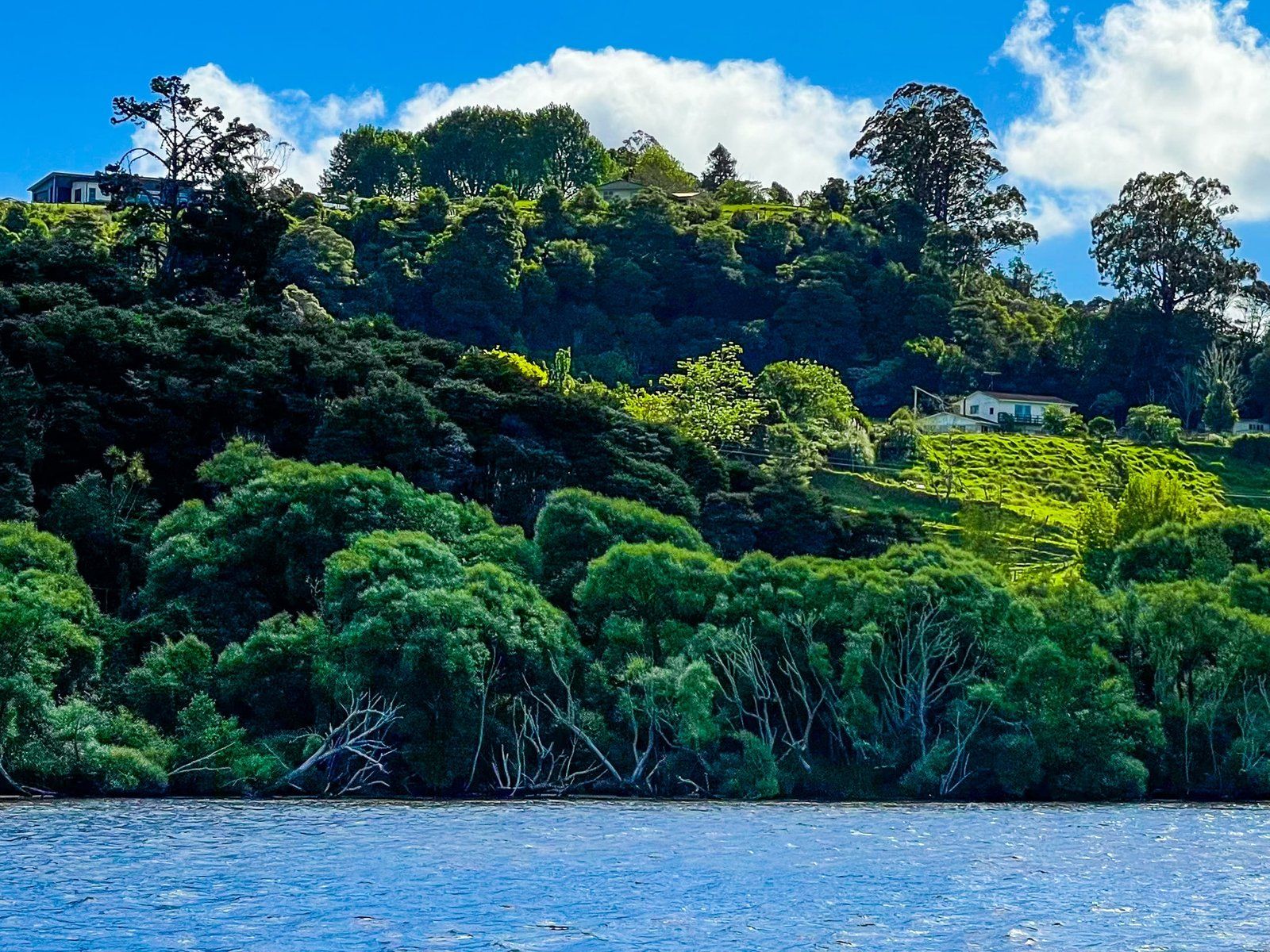
Today, Mercer is primarily known as a convenient refuelling and food stop for travellers on the main highway. However, its location along the riverfront is a pleasant spot to take a break during a long drive, and the golden-hour light can be especially dramatic. The town's scenic riverfrontage makes it an appealing spot to relax and enjoy the view.
How to Get There
To reach Mercer, travel along the Waikato Expressway, State Highway 1, from north or south. The town is easily accessible as it lies directly on this main route.
Other nearby historical sites with connections to the New Zealand Wars include Alexandra Redoubt near Tuakau Bridge, Pōkeno, Whangamarino Redoubt and Rangiriri Paa.