Discovering the Waikato River
The Waikato River, the longest river in Aotearoa New Zealand, is a defining feature of the Waikato region in the North Island. Stretching 425 km from Lake Taupō to Port Waikato on the northwest coast, the river is not only a geographical marvel but also holds significant cultural and spiritual importance for Māori iwi. This connection is underscored by the river's name, which means "flowing water" in Māori.
Geographical and Historical Significance
Over thousands of years, the Waikato River has carved various paths across the Waikato region. It once flowed across the Hauraki Plain, exiting into the Firth of Thames. The current route was established around 17,000 years ago, when a natural dam at the north end of Lake Taupō collapsed. State Highway 29, which passes through the Hinerua Gap, follows an ancient route with cliffs flanking a wide valley.
The river's historical significance is marked by its role in the 1860s government invasion of the Waikato, with key conflicts along its course between Taupiri and Ngāruawāhia. In 2008, a Treaty of Waitangi settlement led to joint management of the river by Tainui iwi and the Waikato Regional Council.
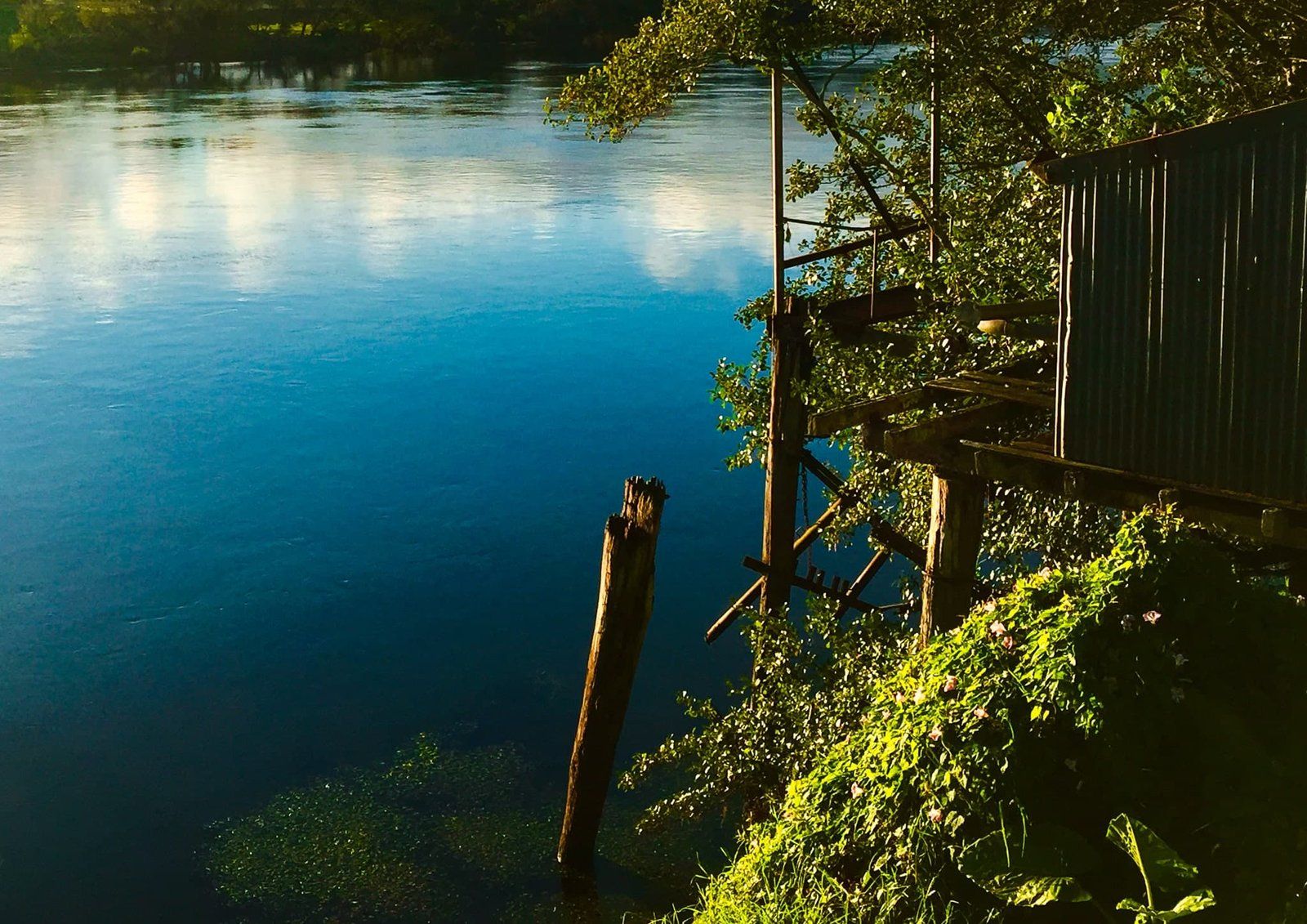
Journey Along the River
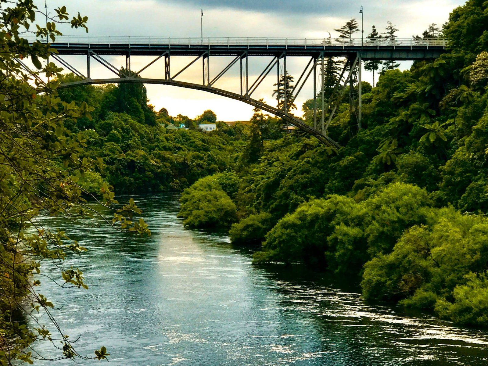
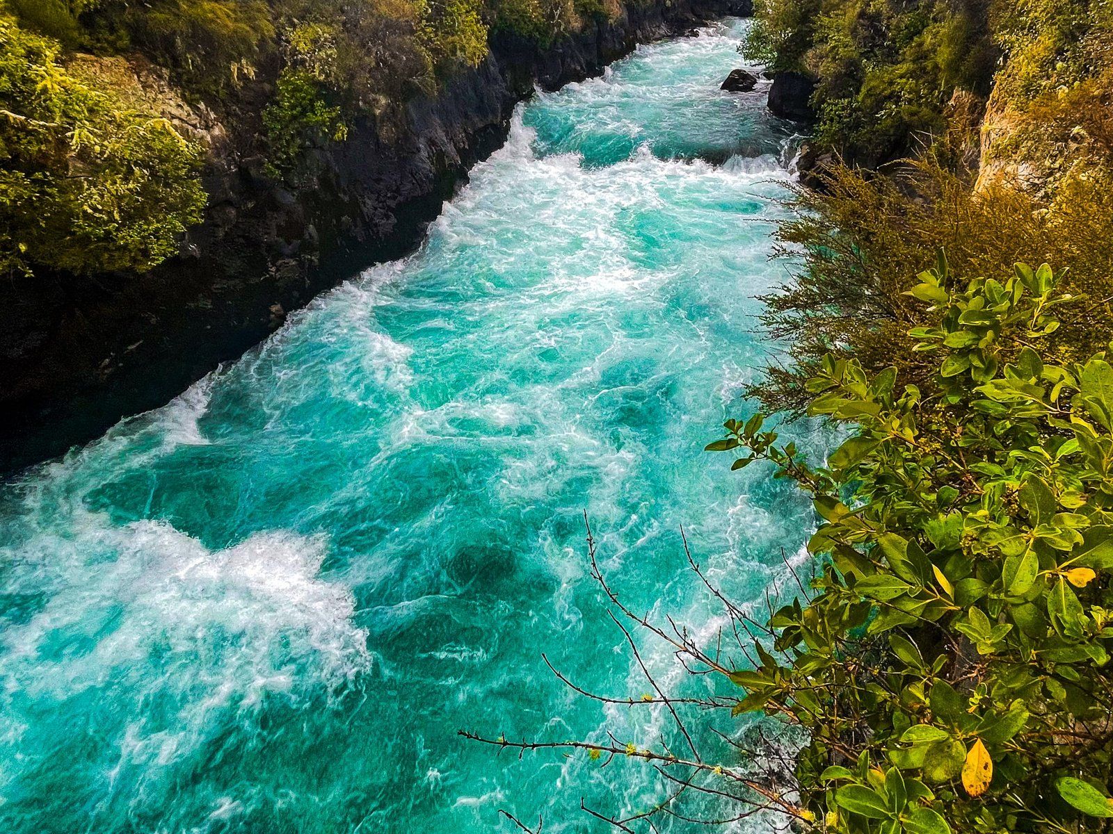
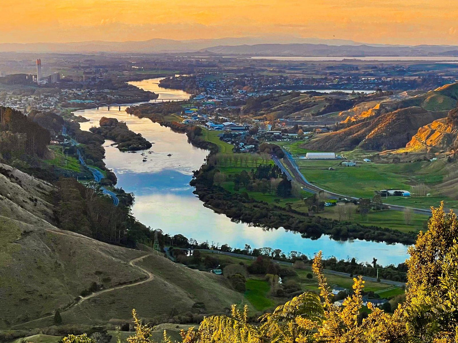
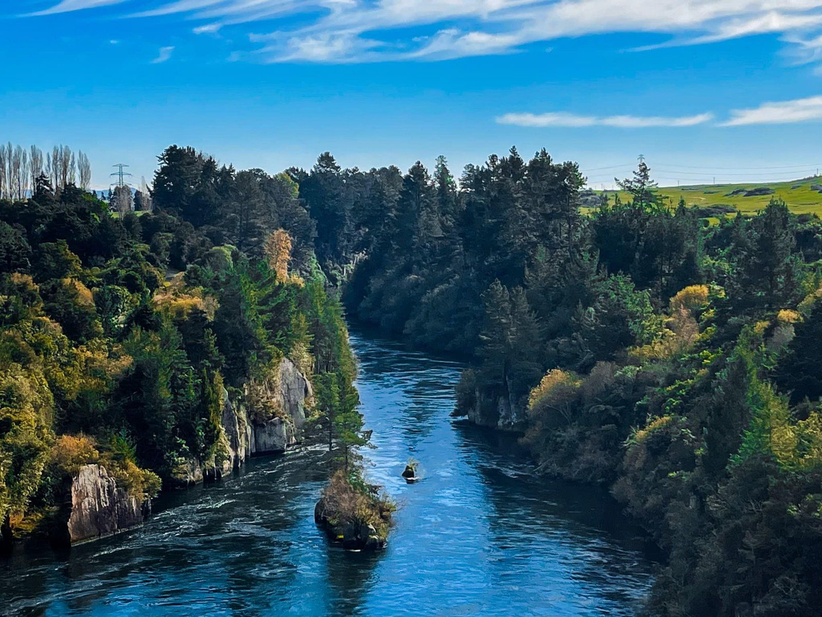
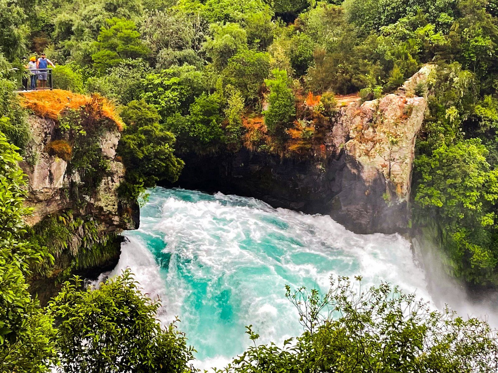
The river's journey begins at Tapuaeharuru Bay in Taupō, flowing past the geothermal wonders of Wairakei and the impressive Huka Falls. It then enters the first of eight man-made hydro lakes at Aratiatia, where water is periodically released over the Aratiatia Rapids for a glimpse of their original splendour. Nearby, the Ngaawapurua Rapids can be viewed from Nga Awa Purua Road. Continuing north, the Orakei Korako thermal area is another point of interest.
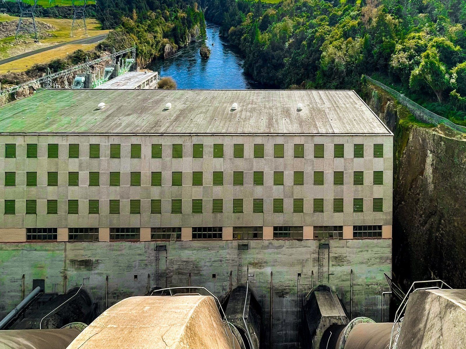
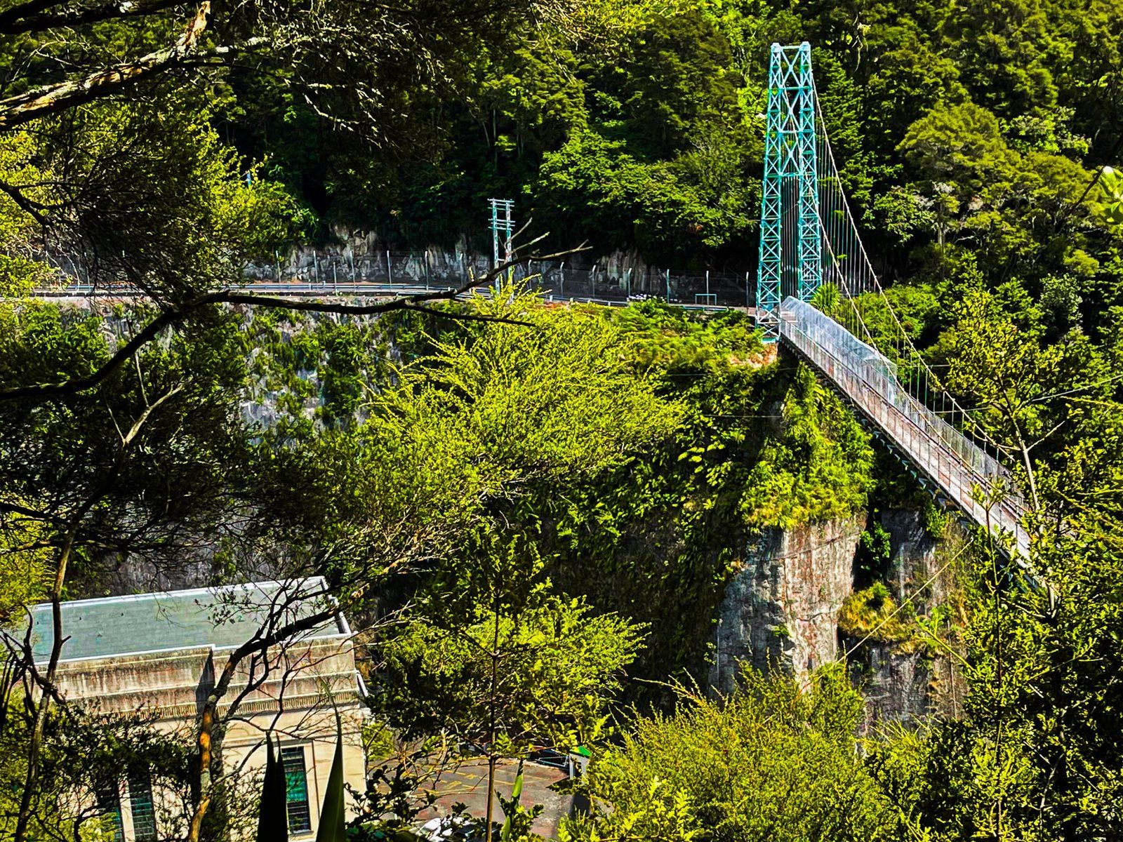
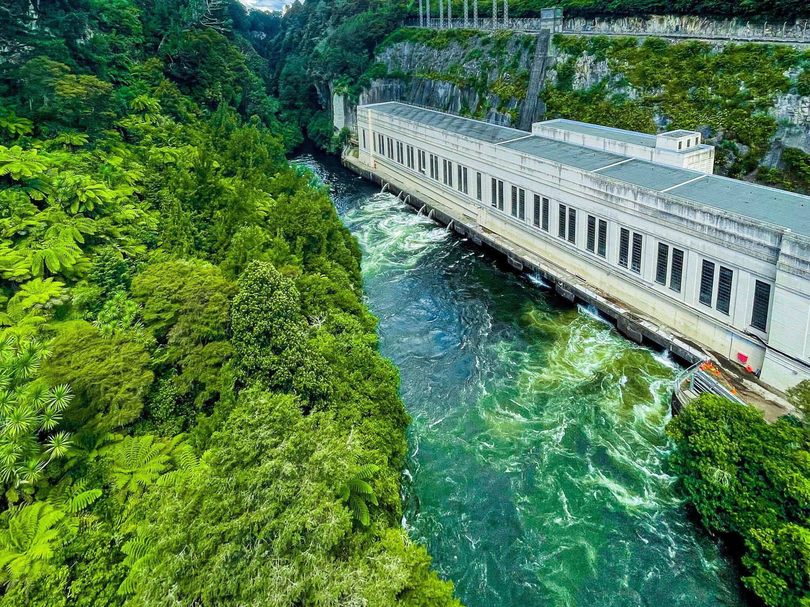
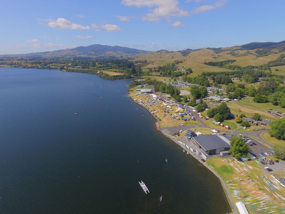
The river's hydropower system was developed between 1929 and 1971. The system includes nine power stations from Aratiatia to Lake Karāpiro, and the lakes support recreational activities such as camping and boating. Lake Karapiro, near Cambridge, is a hub for NZ Rowing, and Arapuni boasts one of the country's most spectacular swing bridges.

Exploring the River's Path
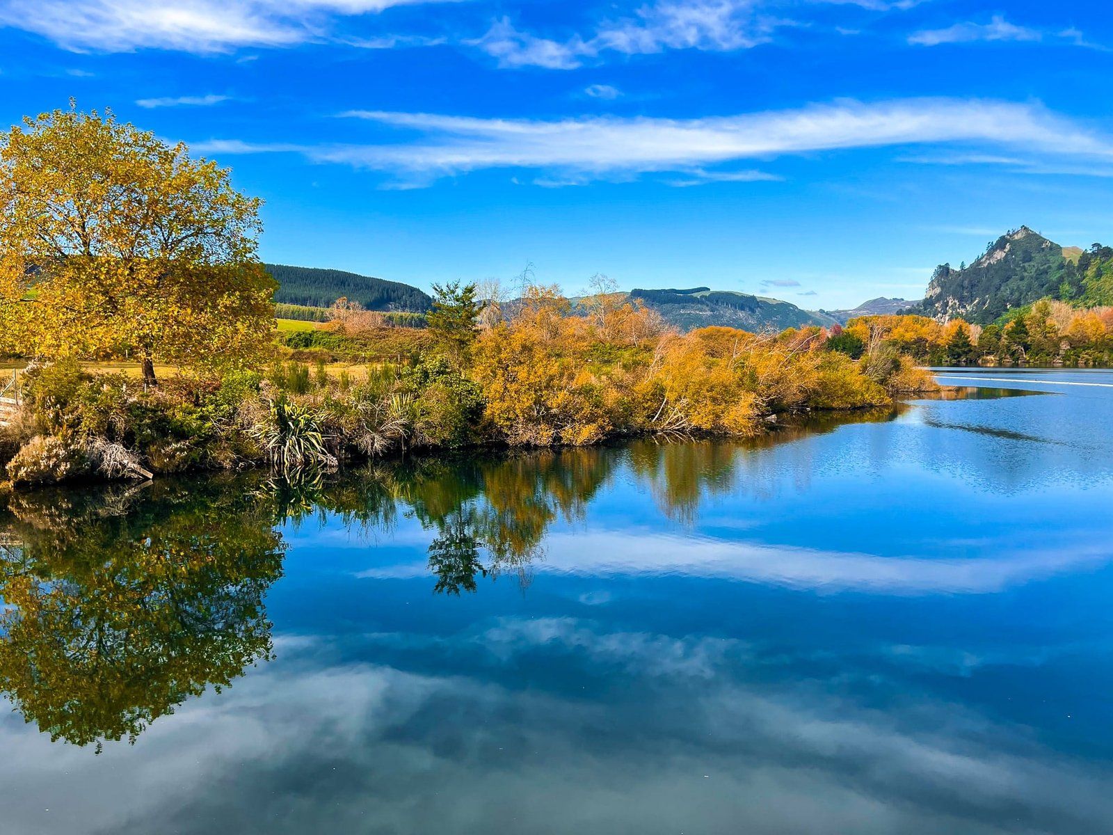
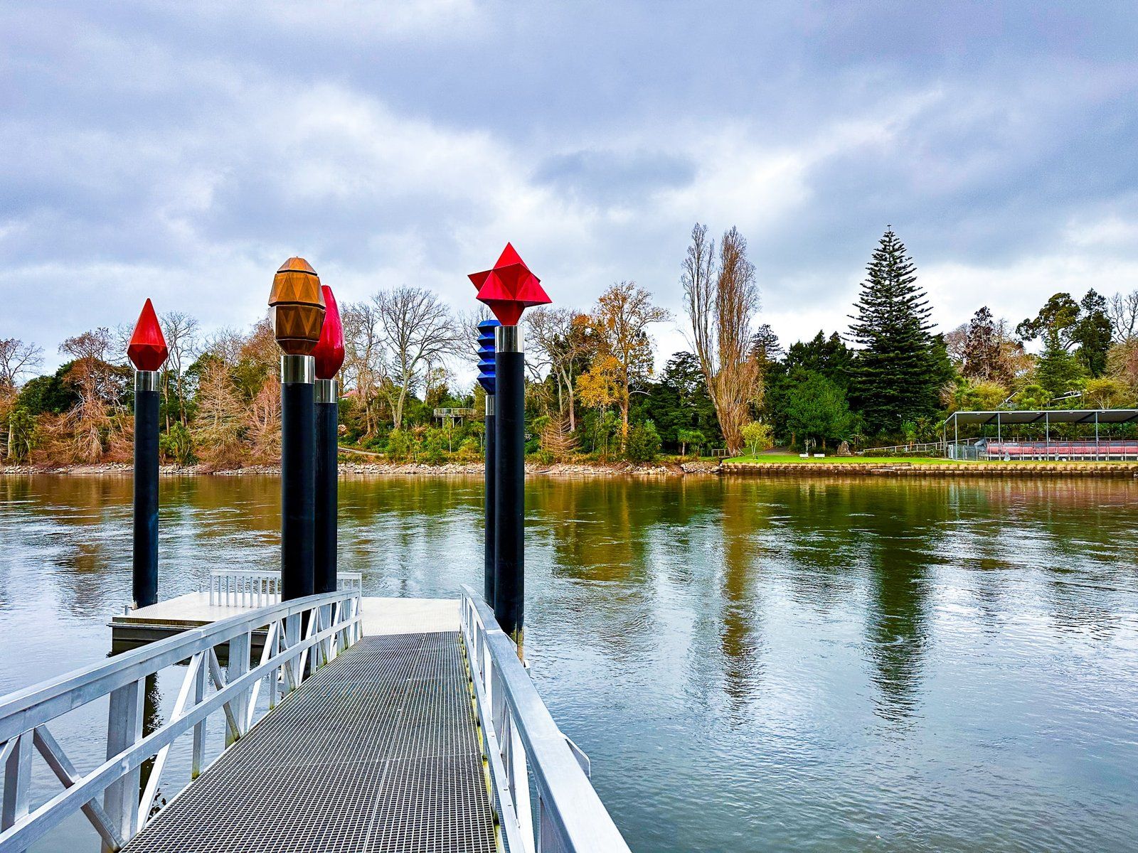
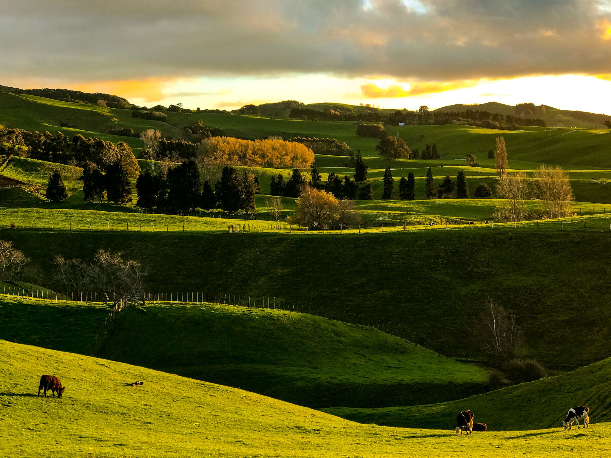
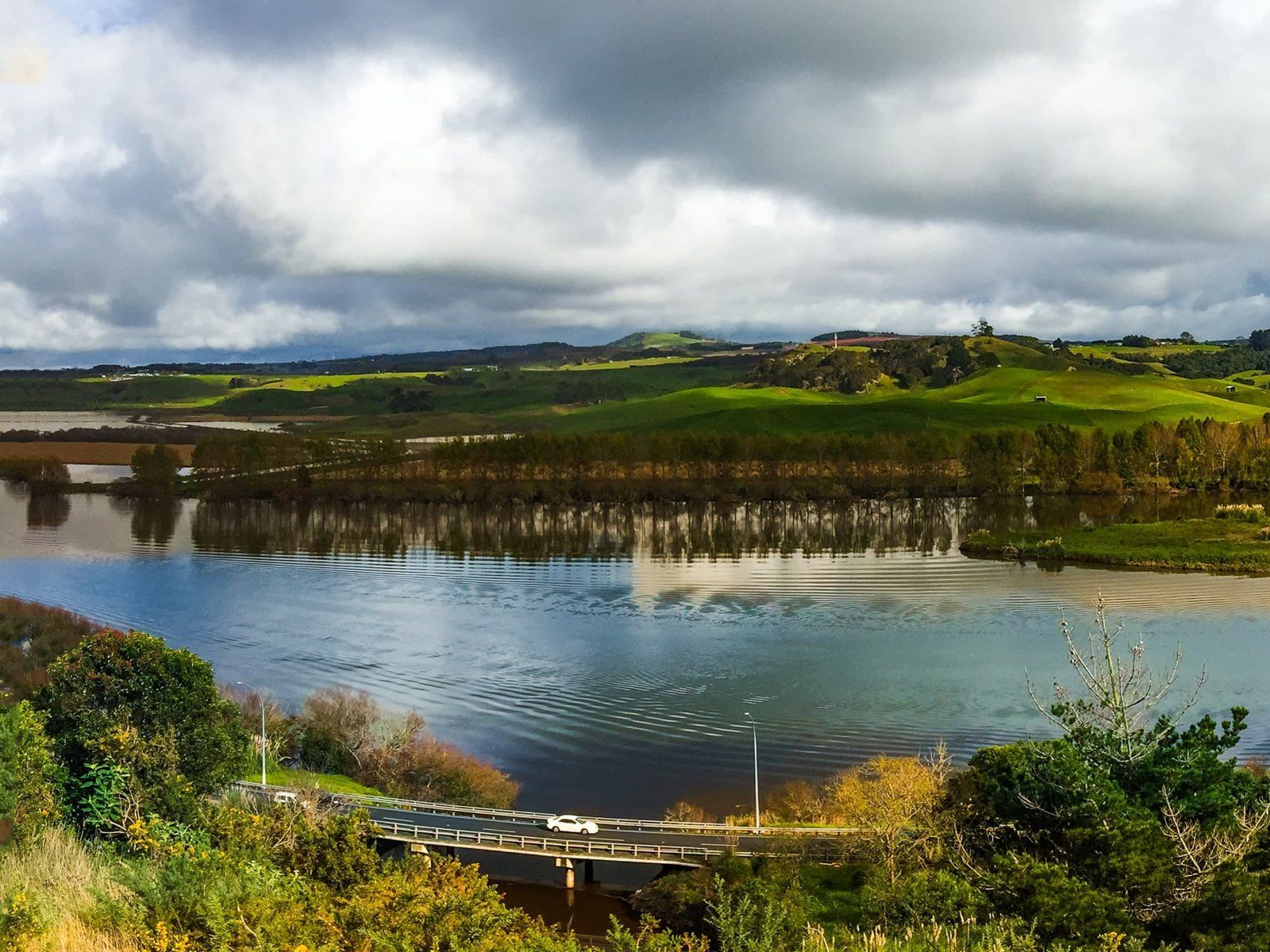
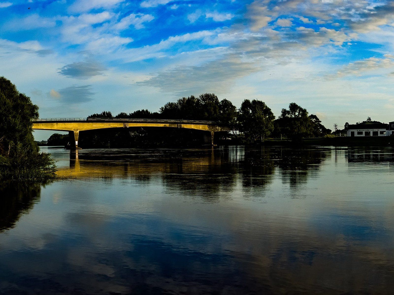
Beyond Lake Karapiro, the river flows freely. Notable spots to experience the river include Cambridge, Central Hamilton, Hamilton Gardens, Ngāruawāhia, Taupiri, Huntly, Rangiriri, Meremere, Mercer, Les Batkin Reserve, and Port Waikato. For stunning views, visit the Victoria Bridge in Cambridge, the top of Hakarimata, Whangamarino Redoubt and Alexandra Redoubt.
Scenic drives along State Highway 1 from Meremere to Mercer, Riverview Road south of Huntly, and Lake Whakamaru on State Highway 30 also offer excellent vistas.
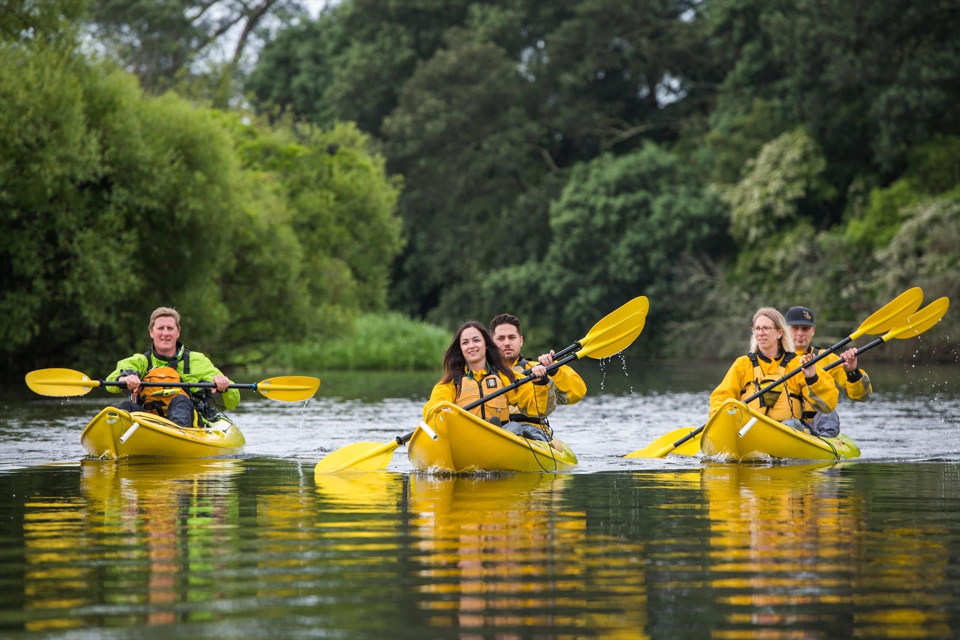
Activities Along the Waikato River
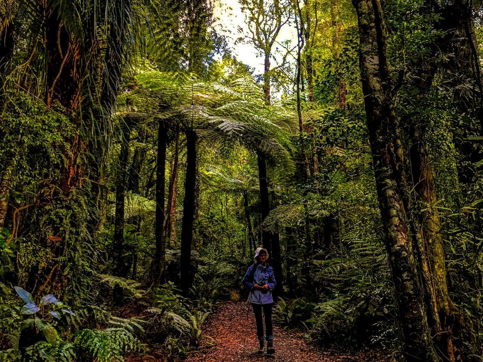
The Waikato River is accessible for walking and cycling. The Waikato River Trails extend from Lake Karapiro south to Atamuri, while Te Awa River Ride connects Ngāruawāhia, Hamilton, and Cambridge. Te Araroa follows the river for 80 km between Mercer and Hamilton.
Getting to the Waikato River
To explore the Waikato River, start your journey from Lake Taupō, accessible via State Highway 1. From there, follow the river north through key towns like Cambridge and Hamilton. Each location along the river is well-connected by road, making it easy to plan your visit.