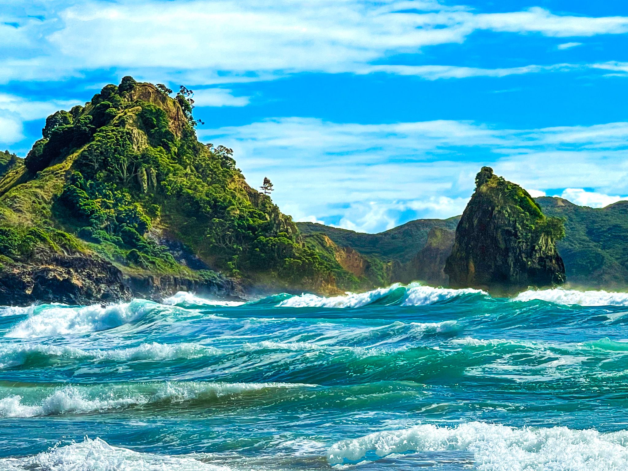
Okupu Blind Bay on Aotea Great Barrier Island
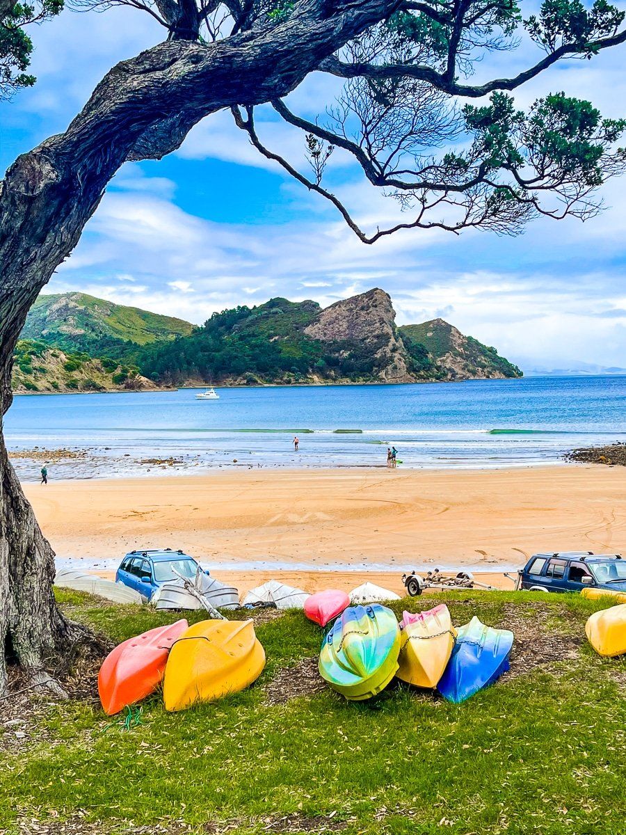
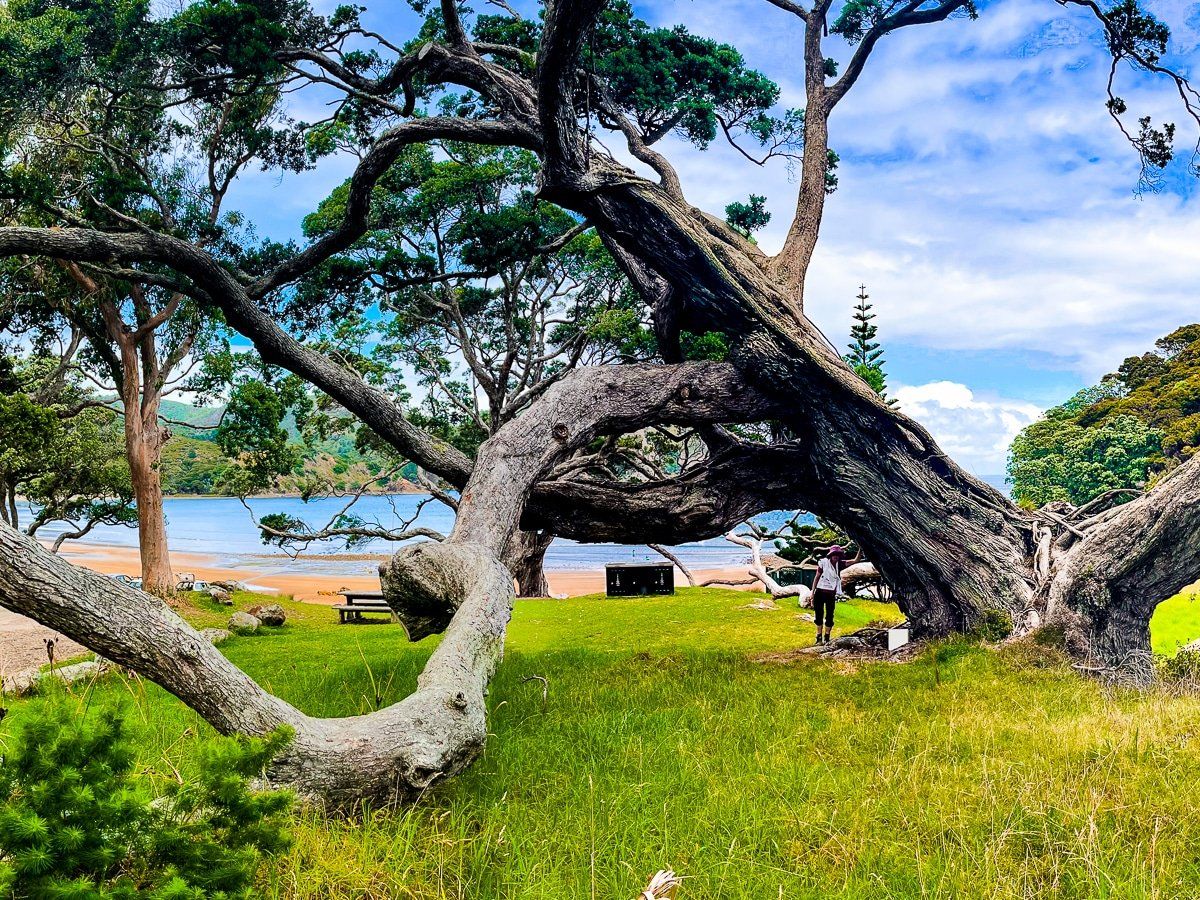
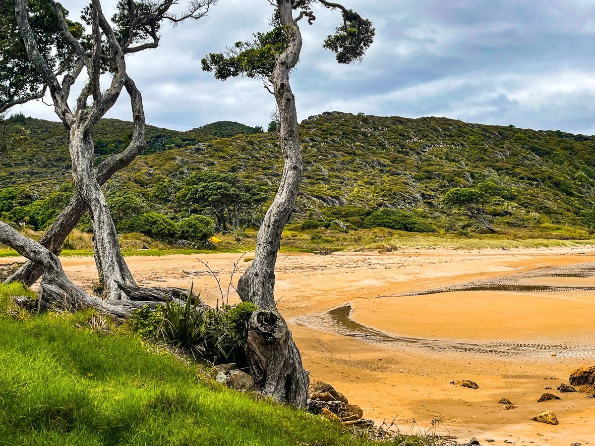
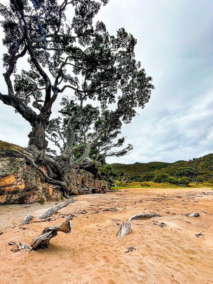
Okupu Blind Bay is located on Aotea Great Barrier Island, accessible via Blind Bay Road. This scenic bay, known for its striking natural beauty, features several ancient pōhutukawa trees around a picturesque grassy picnic area above the beach. While not home to New Zealand's largest pōhutukawa, the trees here are impressive in their own right.
Beach Features and Activities
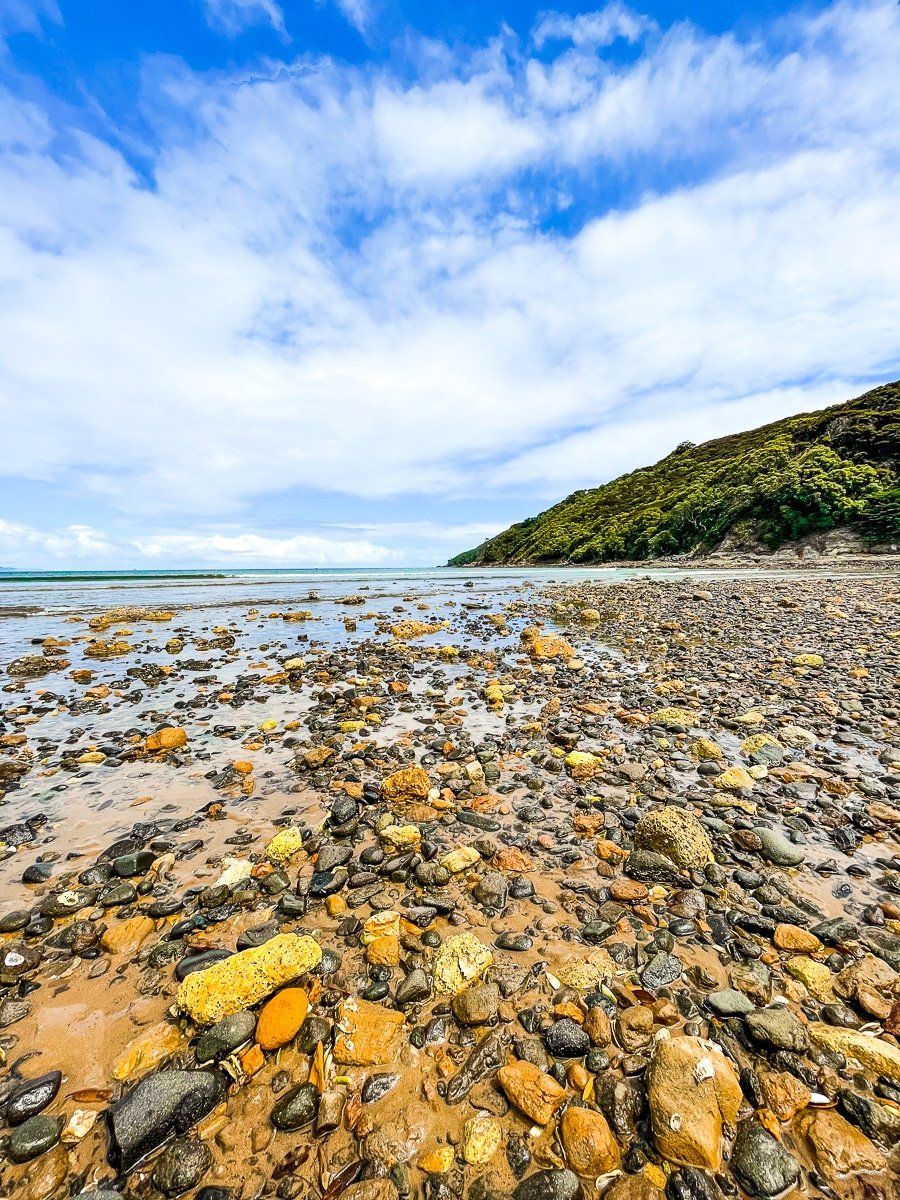
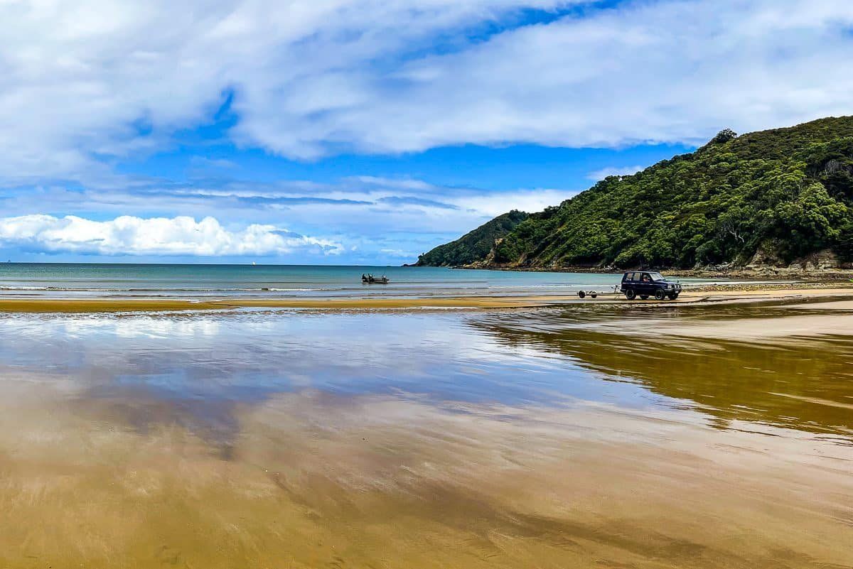
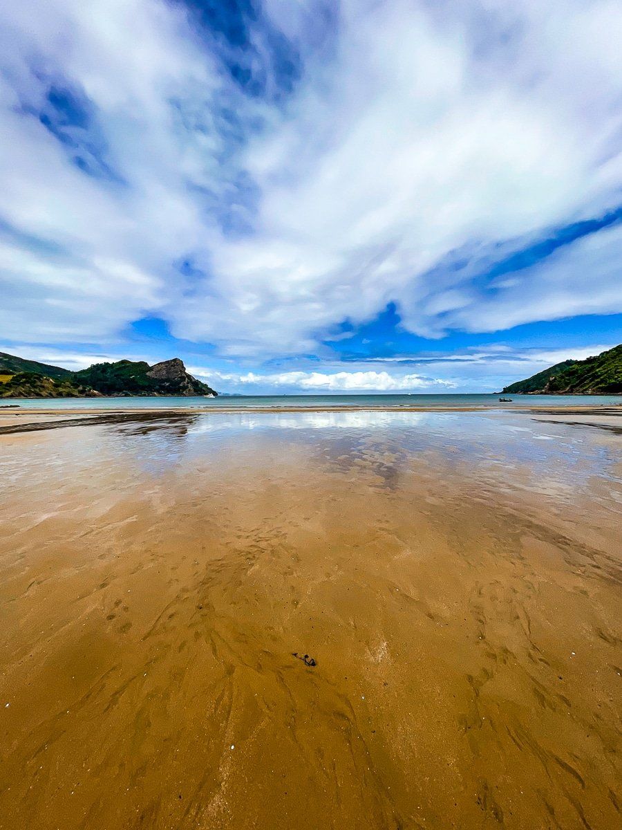
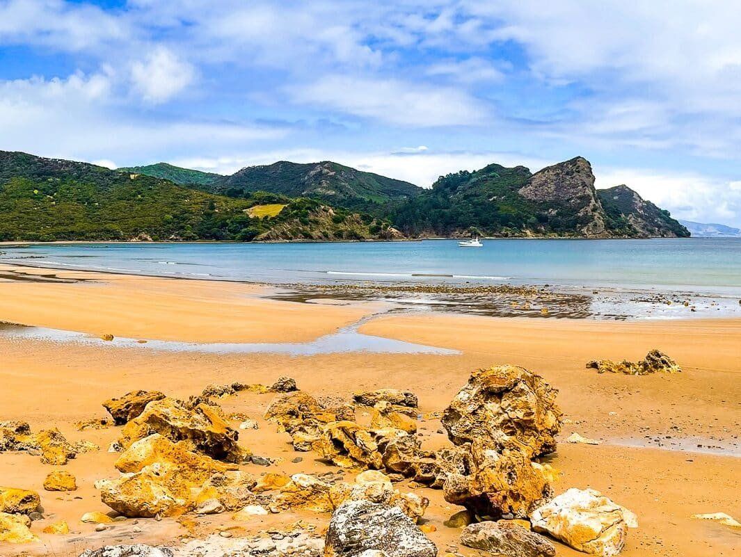
The beach at Okupu Blind Bay is notable for its vibrant orange rocks and sandy shore. At low tide, you can explore nearby rock pools. The bay's sheltered waters make it a safe spot for swimming and an easy place to launch boats.
If you're planning a picnic, be aware that there are no shops in Okupu. You can purchase food and supplies in Tryphena or Claris before heading to the bay.
Historical Perspectives
Okupu comes from Ōkupe, meaning the place of Kupe, the legendary Polynesian explorer, who is reputed ot have given the island its Māori name, Aotea (“white cloud”). Historically, the bay and surrounding area were significant sites for Ngāti Rehua–Ngātiwai ki Aotea, who maintained kāinga (villages) at Okupu. Okupe is also the name of the 194 metre peak east of the bay.
European settlement began in the 1800s, with families such as the Sandersons and Alloms establishing farms. A wharf was constructed in Blind Bay in the 1860s to support the island’s early economy, which included kauri extraction followed by gum‑digging and then small‑scale gold and silver mining in the early 1900s till around 1908.
How to Get There
To reach Okupu Blind Bay from Claris, head northwest on Hector Sanderson Road, then turn south onto Blind Bay Road. The drive takes a few minutes.
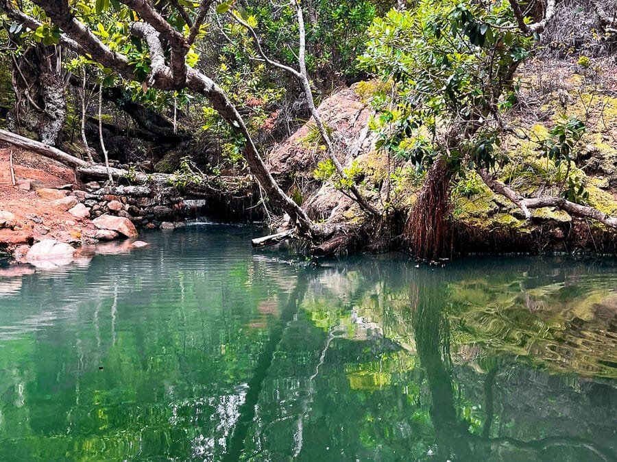
About halfway along this road, you will also find access to the Te Ahumata Track, which crosses over to Whangaparapara Road. This track takes approximately 2 to 3 hours to complete one way.
Other places to visit nearby include Whangaparapara, Kaitoke Hot Springs, Awana Bay, and Kaikohe Beach.