Discover Queen Charlotte Sound / Tōtaranui
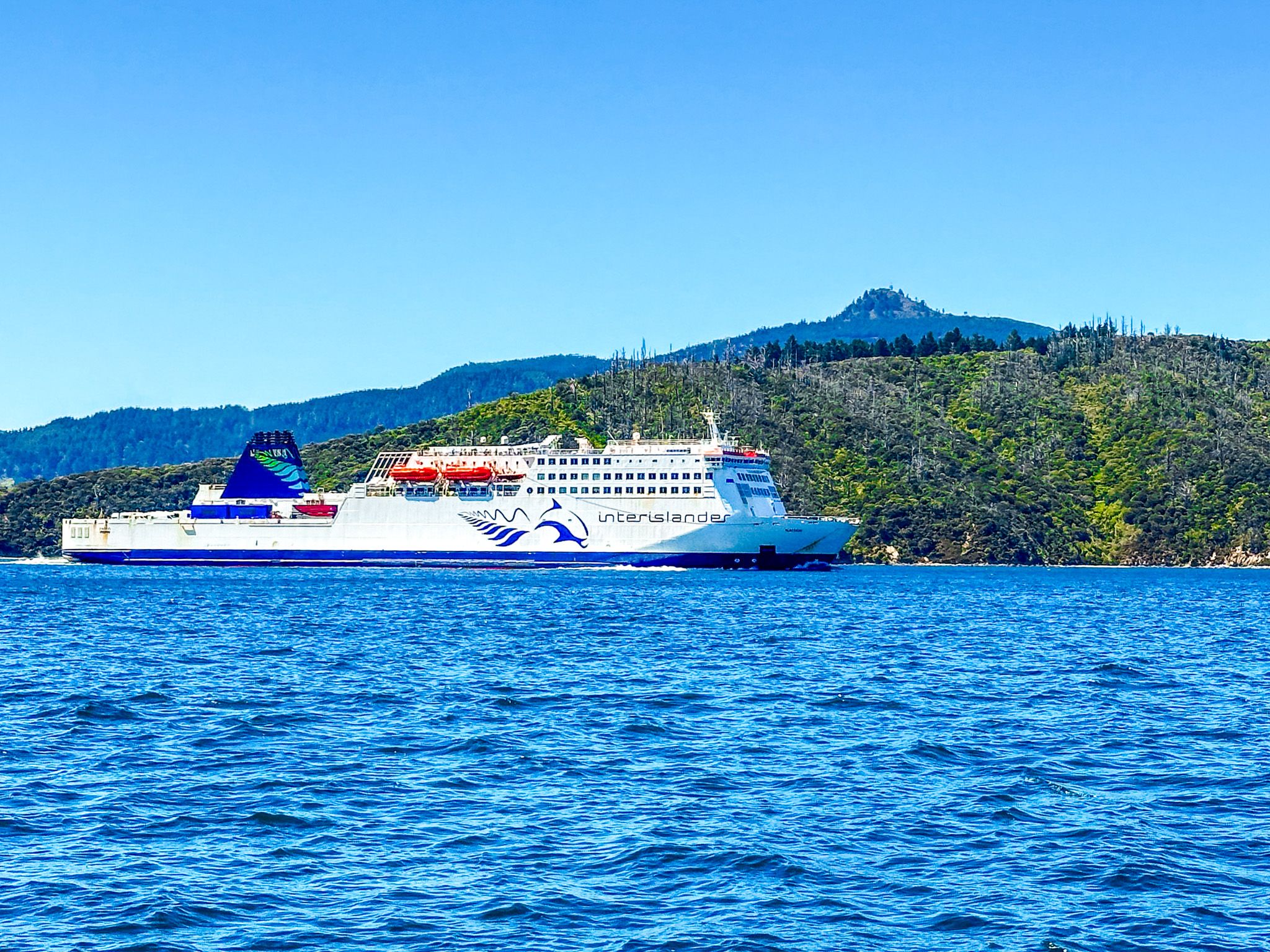
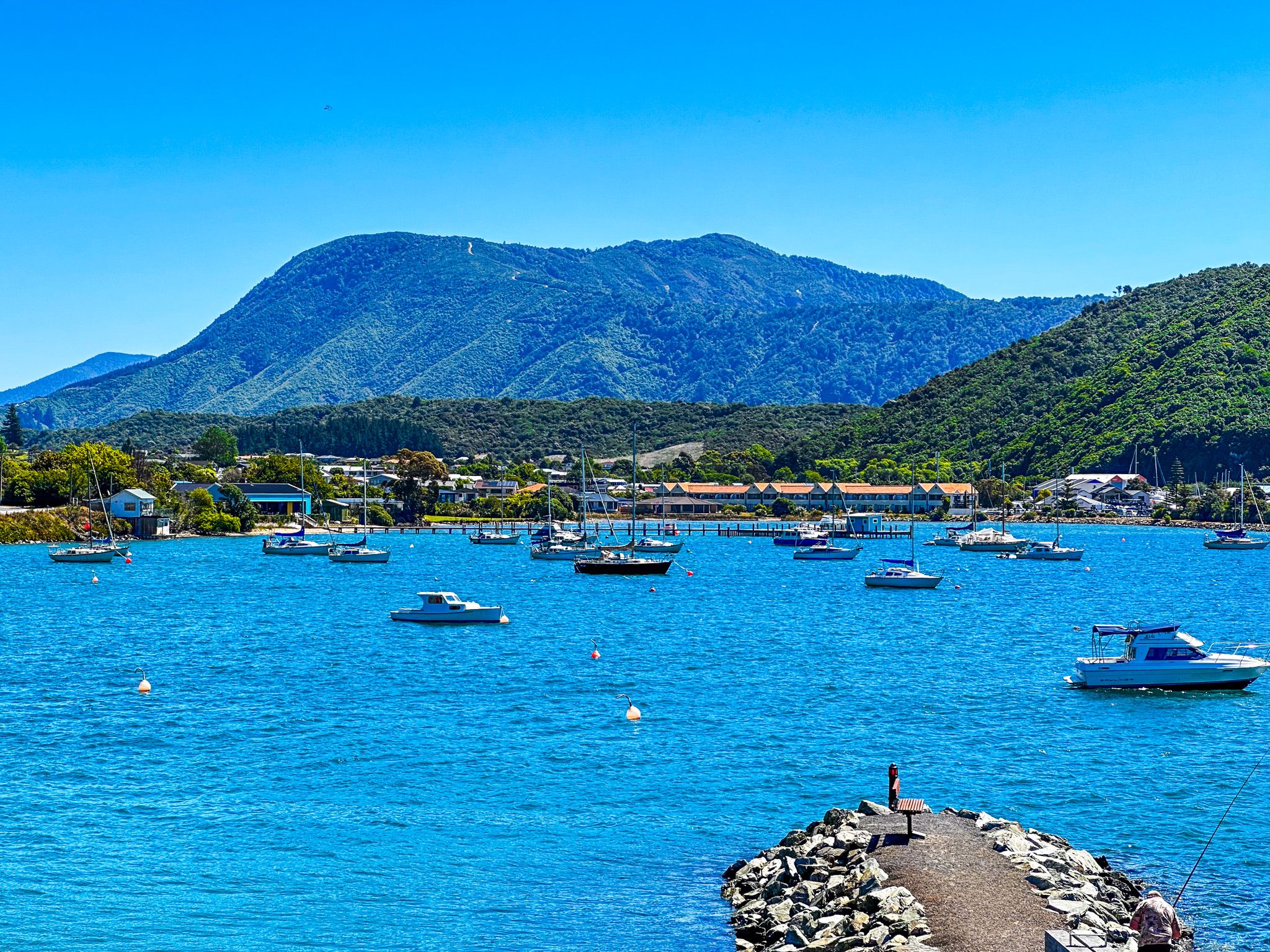
Located at the northern tip of the South Island, Queen Charlotte Sound / Tōtaranui is the easternmost of the Marlborough Sounds. This area is known for its stunning natural beauty and is home to Picton, the only significant town in the Sounds. The inter-island ferry travels through Queen Charlotte Sound and Tory Channel, connecting Picton to Wellington on the North Island.
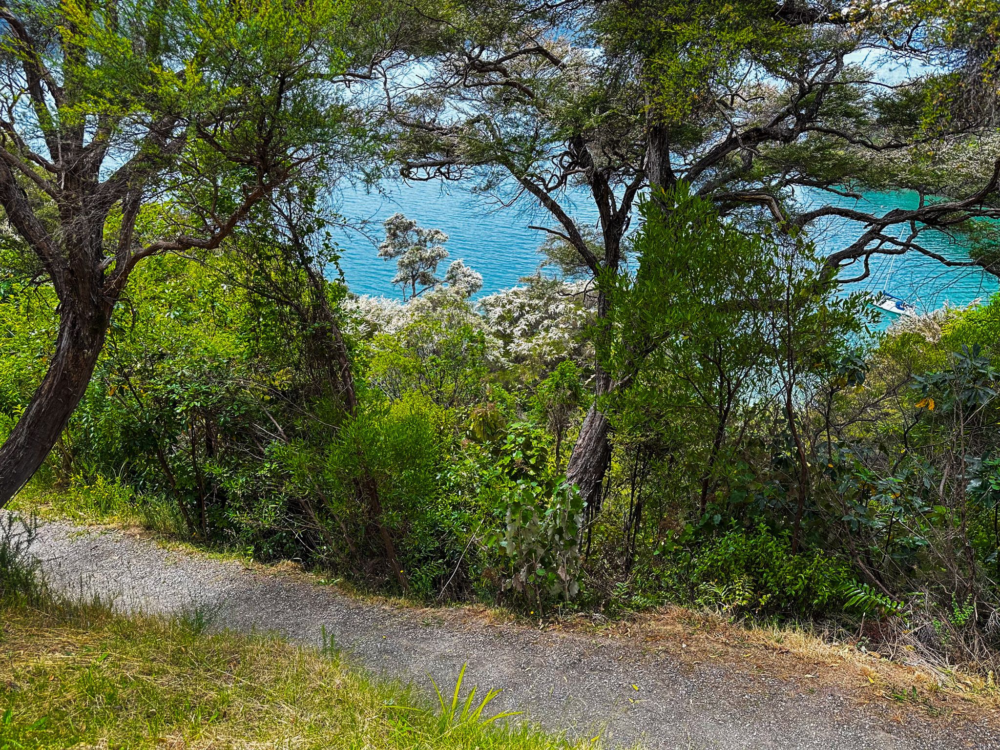
A highlight for hikers and cyclists is the 73.5 km Queen Charlotte Track, a multi-day route that stretches from Ship Cove to Anakiwa along the sound's northern side.
Geographical Features and Islands
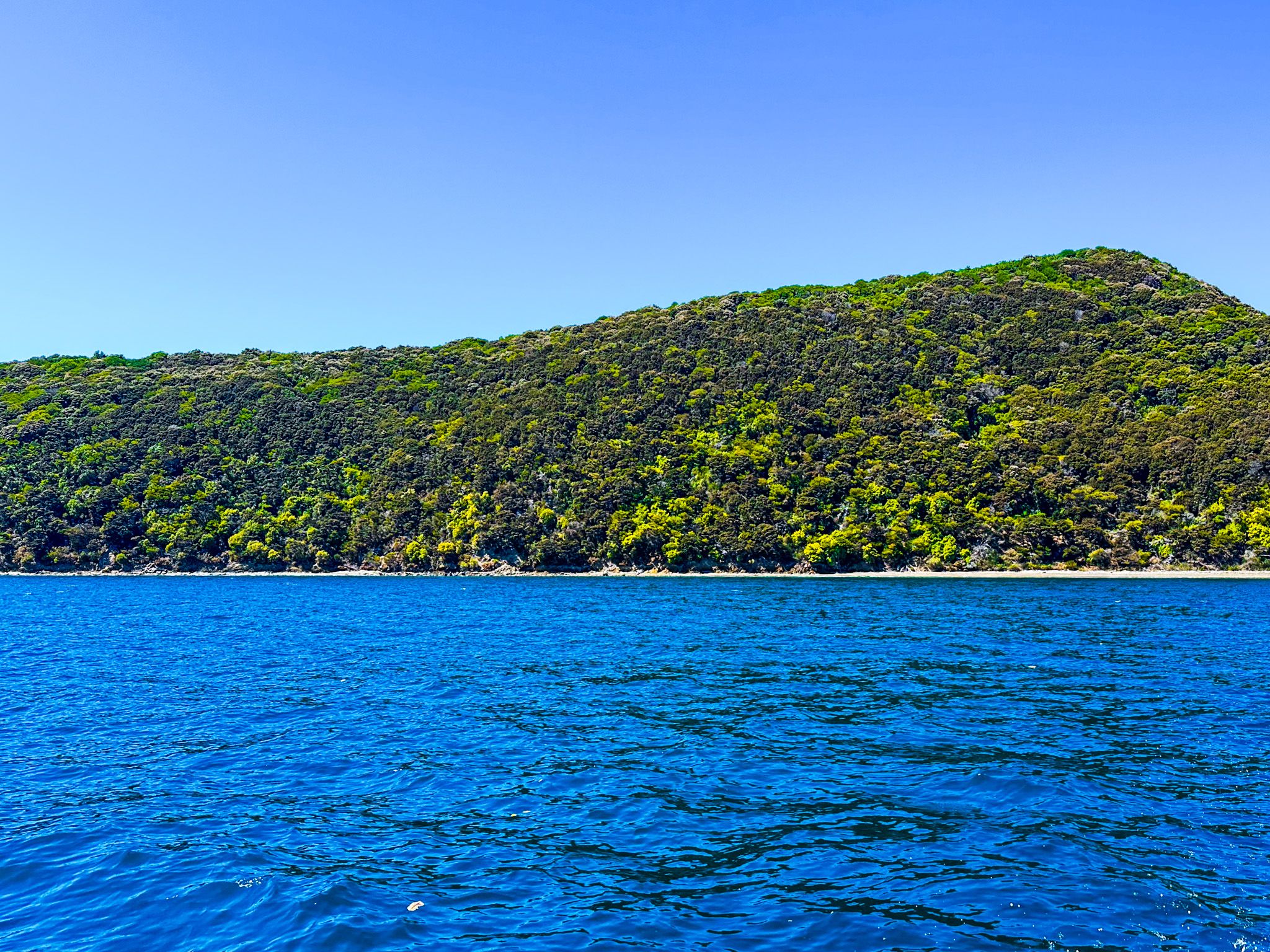
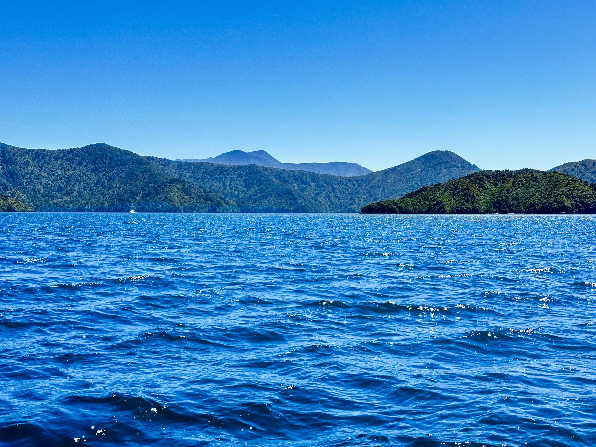
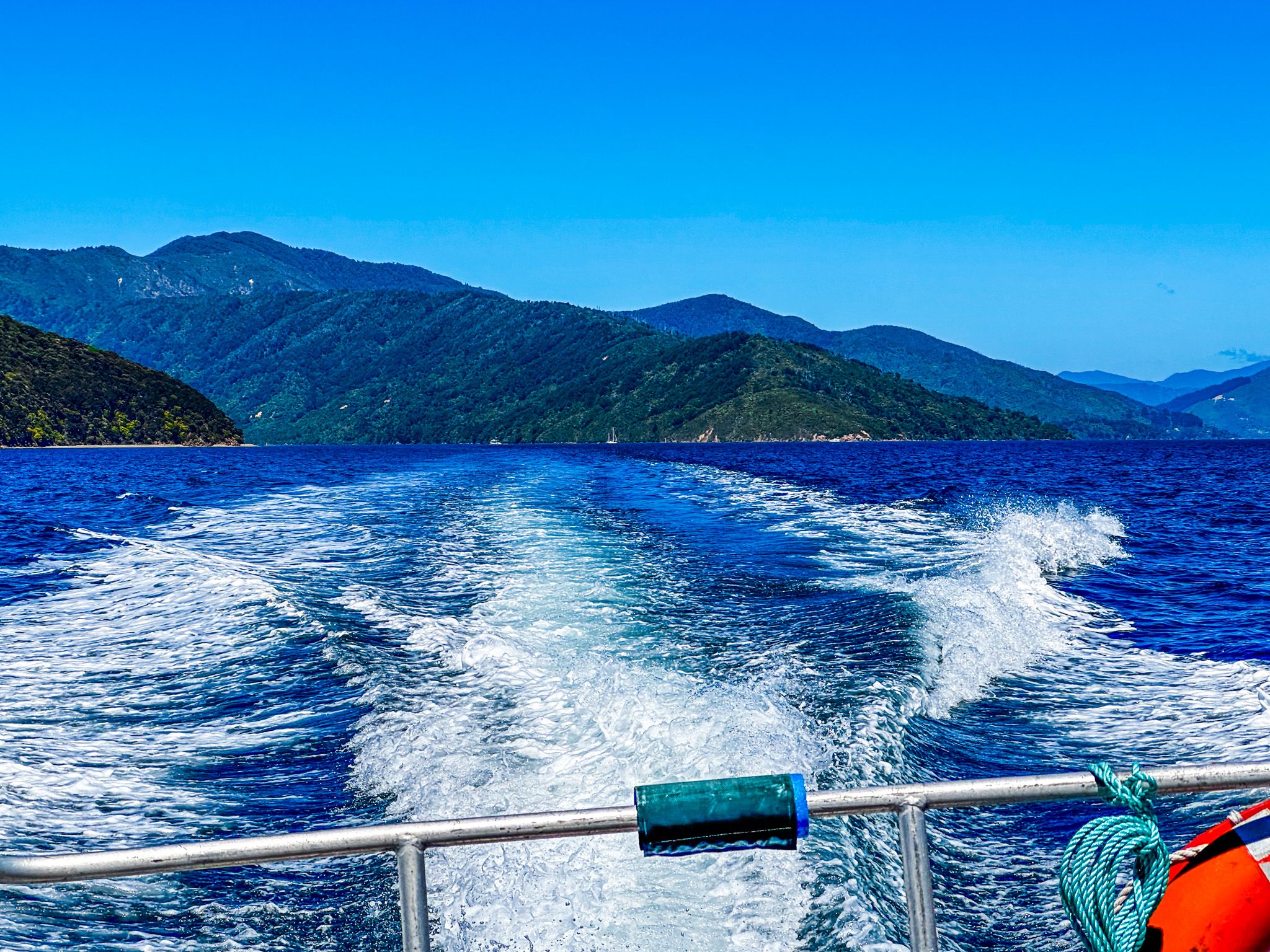
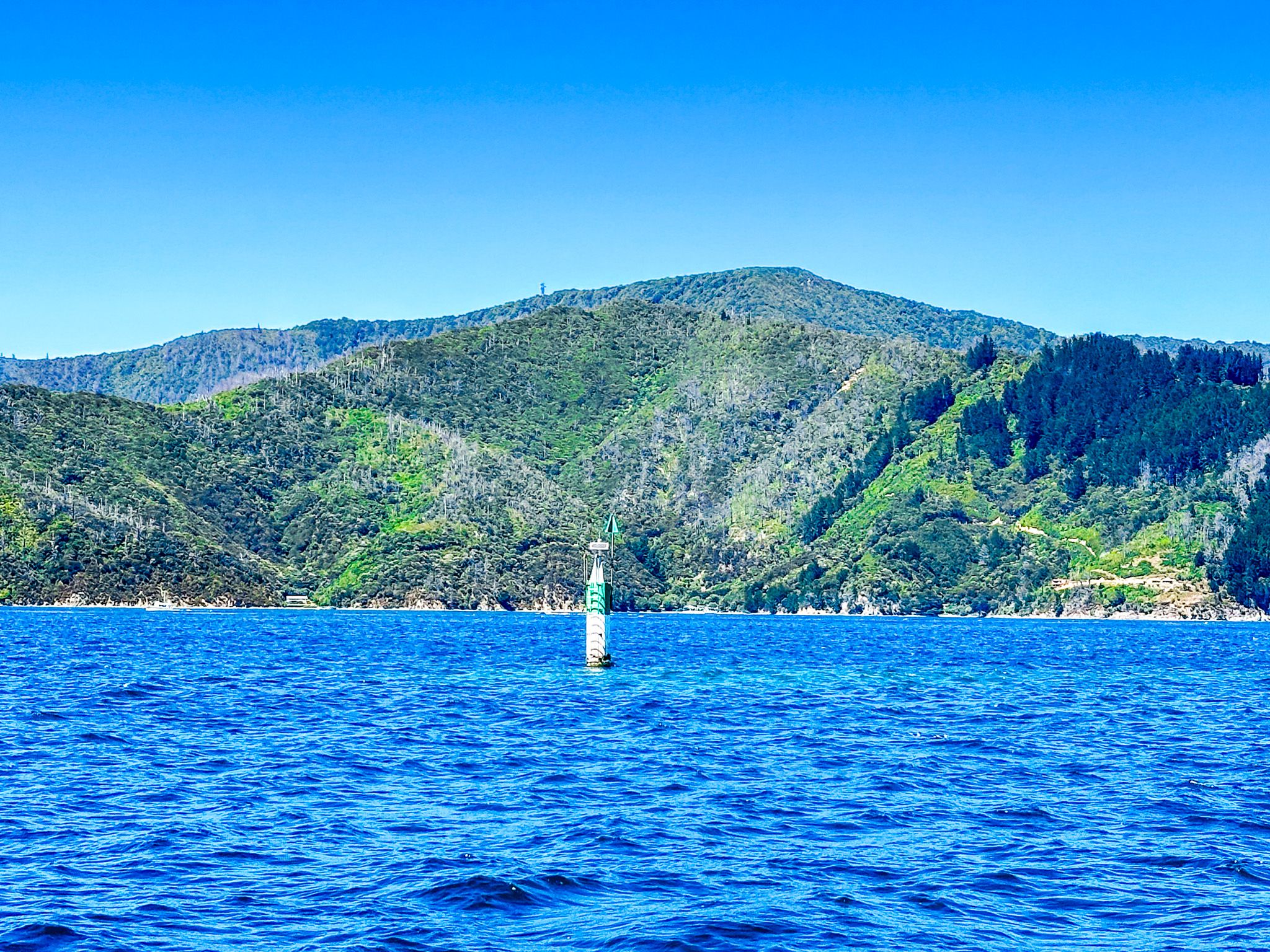
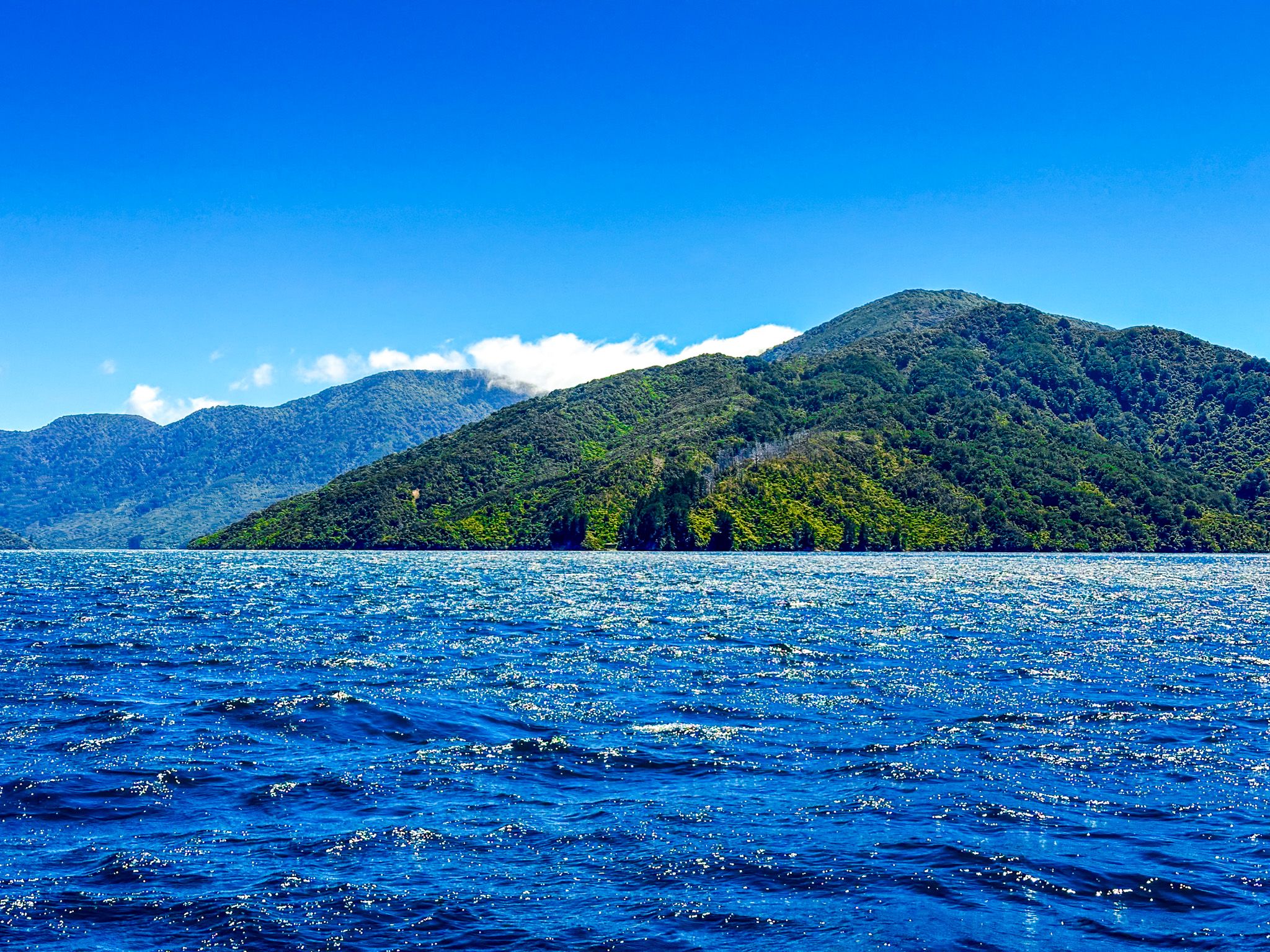
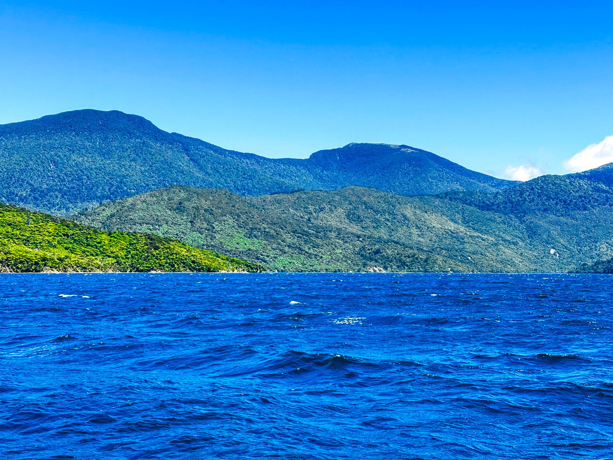
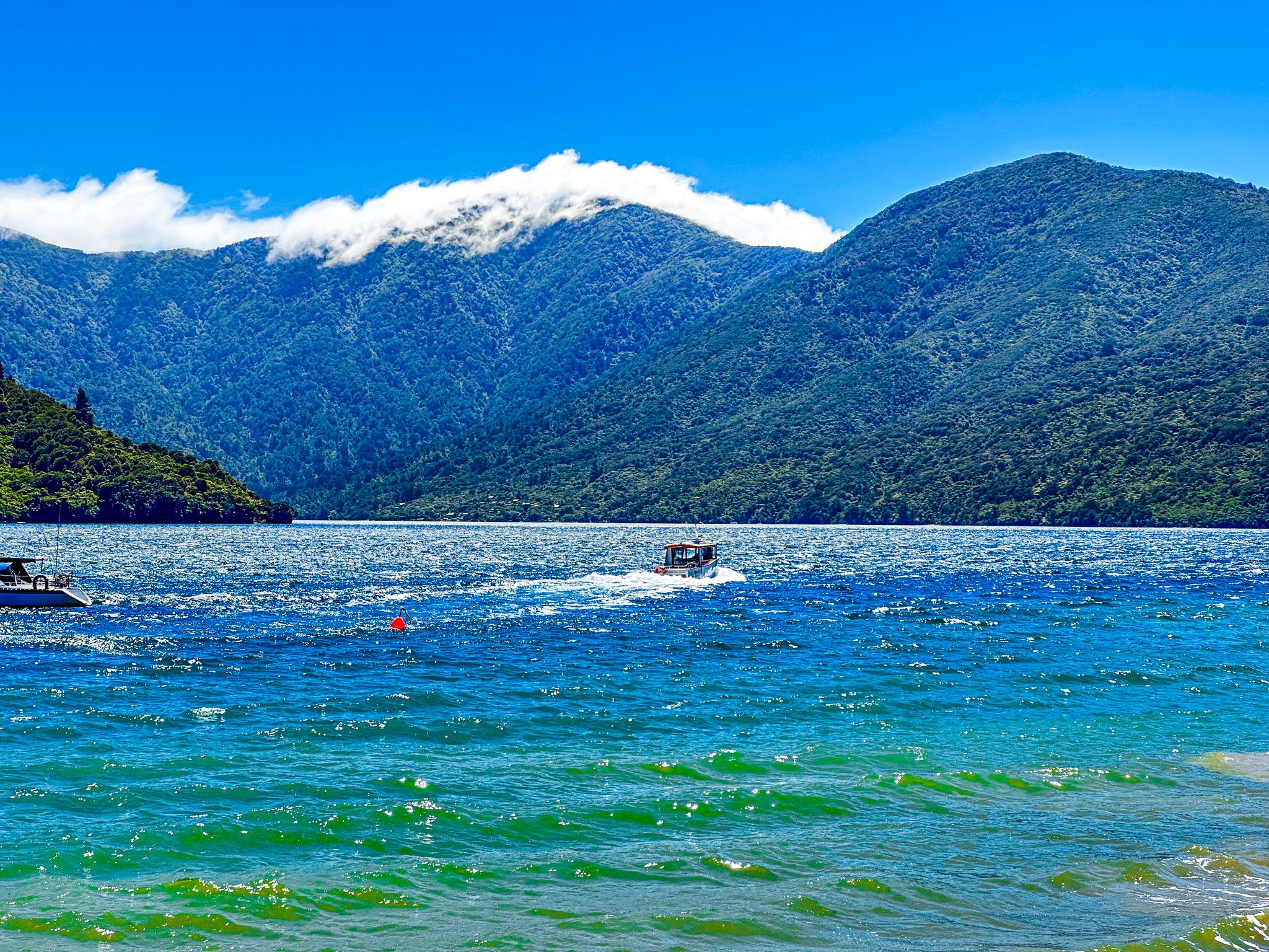
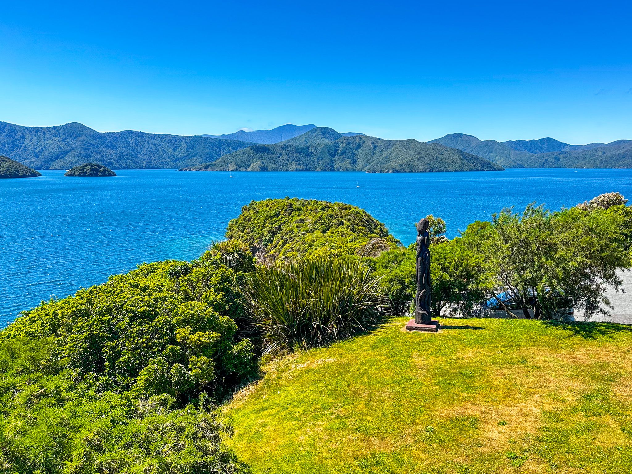
Queen Charlotte Sound is characterised by long, jagged fingers of steep terrain, with ridgelines often exceeding 400 metres and peaks reaching over 800 metres. Arapaoa Island is a prominent feature at the northeastern end, with Tory Channel linking the sound to Cook Strait between the island and the mainland. Several smaller islands dot the channel on the island's western side.
Bays, Coves, and Access
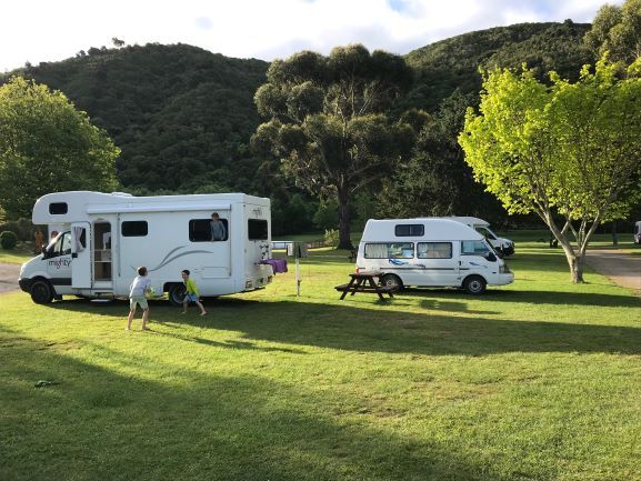
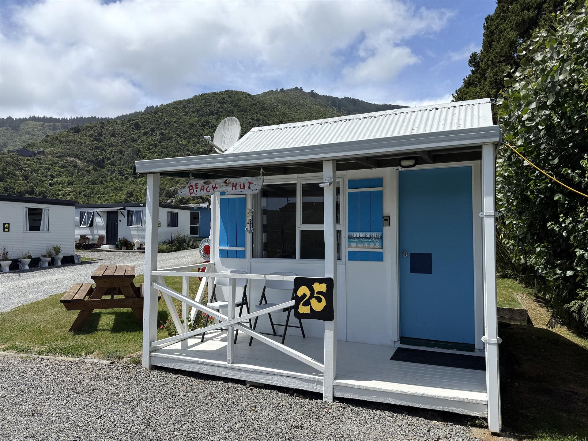
The sound is dotted with numerous bays and coves, many of which host a few houses and holiday homes with jetties. While some are accessible via the Queen Charlotte Track, most require boat access.
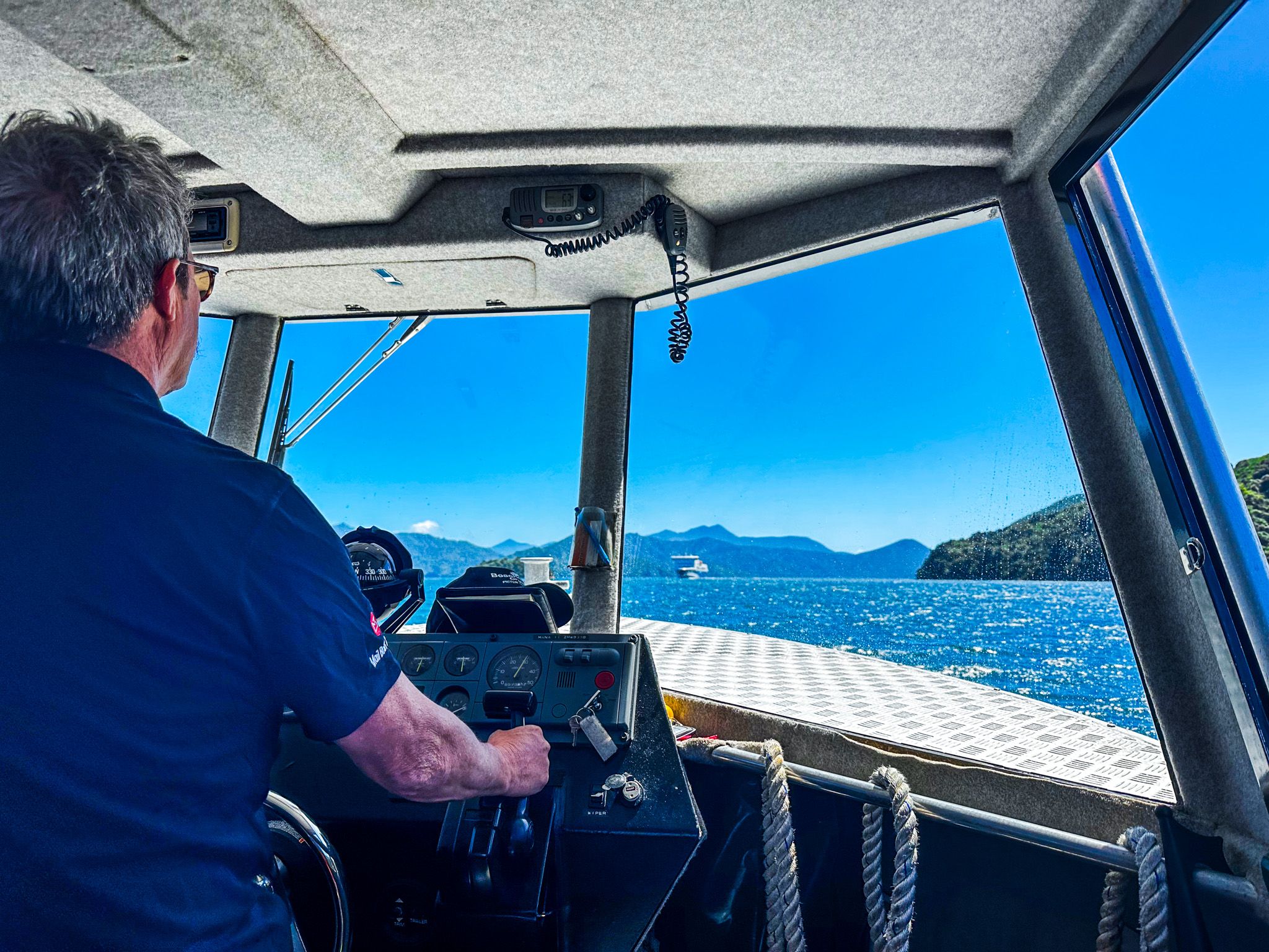
Regular boat services and water taxis are available and can be booked online or in Picton. Road access is limited to the southeast side between Picton and Whatamango Bay on Port Underwood Road, the southwest end between Picton and The Grove on Queen Charlotte Drive, the northeast end to Anakiwa, where the Queen Charlotte Track concludes and to Punga Cove from Kenepuru Sound.
Historical and Cultural Significance
Historically, Queen Charlotte Sound was used by Māori to connect the North and South Islands, facilitating trade in items such as pounamu and toki from nearby D’Urville Island. Several iwi seasonally occupied the area. The Musket Wars, which disrupted local Māori occupation, were followed by inadequate land settlements as Europeans arrived, with less sustainable terrain being retained by Māori. In 2014, the sound was renamed Queen Charlotte Sound / Tōtaranui as part of a Treaty of Waitangi settlement acknowledging historical breaches of the treaty.
European Exploration and Settlement
Captain James Cook first arrived in 1770. From Arapaoa Island, he identified the strait between the Tasman Sea and the Pacific Ocean, later named Cook Strait. Cook named the sound after Queen Charlotte, the wife of King George III, and one of its larger inlets became Endeavour Inlet after his ship. Memorials to Cook's visits can be found at Ship Cove and nearby Motuara Island.
European settlement began with whaling, which continued into the early 1900s, followed by farming. Much of the native forest was cleared for pasture and exotic pines, but pockets of mature forest remained around Furneaux Lodge, north of Anikawa, and near Resolution Bay and Ship Cove. Over the past 50 years, significant reforestation has restored native ecosystems. It is anticipated that most of the sound will be covered in mature native forests within the next century. The Picton Museum provides insights into this history.
Getting to Queen Charlotte Sound / Tōtaranui
Picton and Queen Charlotte Sound / Tōtaranui are accessible by ferry from Wellington. State Highway 1 runs from Picton to Blenheim, then down the east side of the South Island to Christchurch, Dunedin, and ends at Bluff near Invercargill. From Christchurch, the drive is over 4 hours and 221 km.