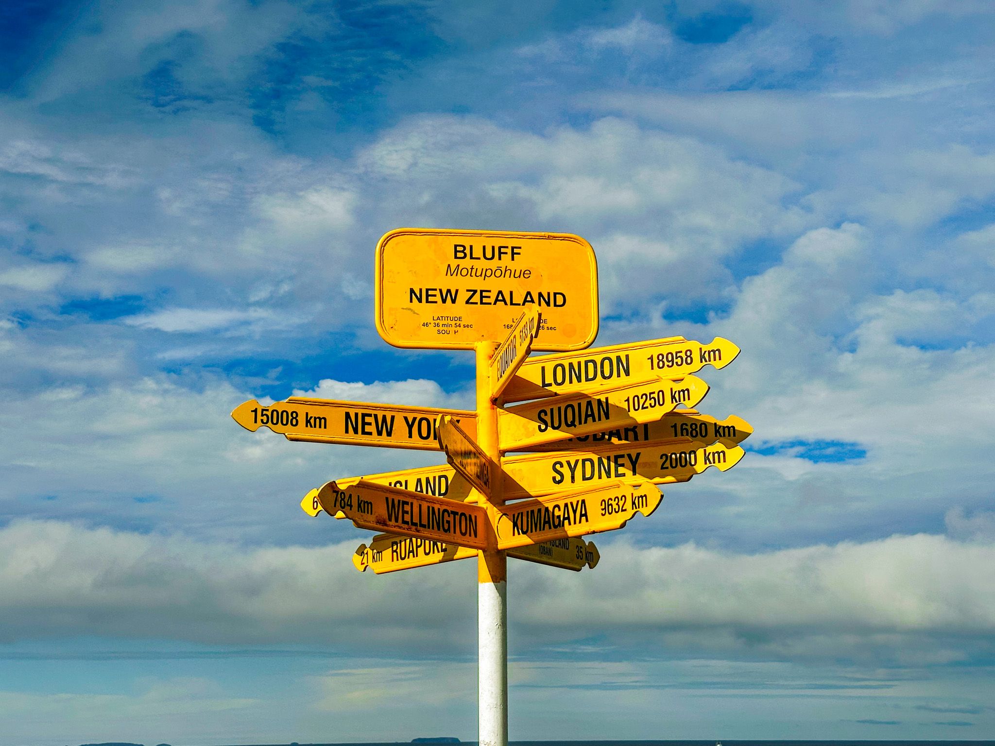
New Zealand's Southernmost Town
The port town of Bluff (Motupōhue) is the southernmost town in the South Island, south of Invercargill at the end of State Highway 1. It sits on the north side of a peninsula near the entrance to Bluff Harbour. The town and harbour are overlooked by the 265-metre ancient volcanic cone of Bluff Hill (Motupōhue), which gave both their European names and shelters the port from the prevailing westerlies. Across the harbour entrance, Tiwai Point houses New Zealand's only aluminium smelter, and across Foveaux Strait, 60 km to the south, lies Rakiura / Stewart Island. The town has a population of around 1,800 and a character shaped entirely by the sea, fishing and the port.
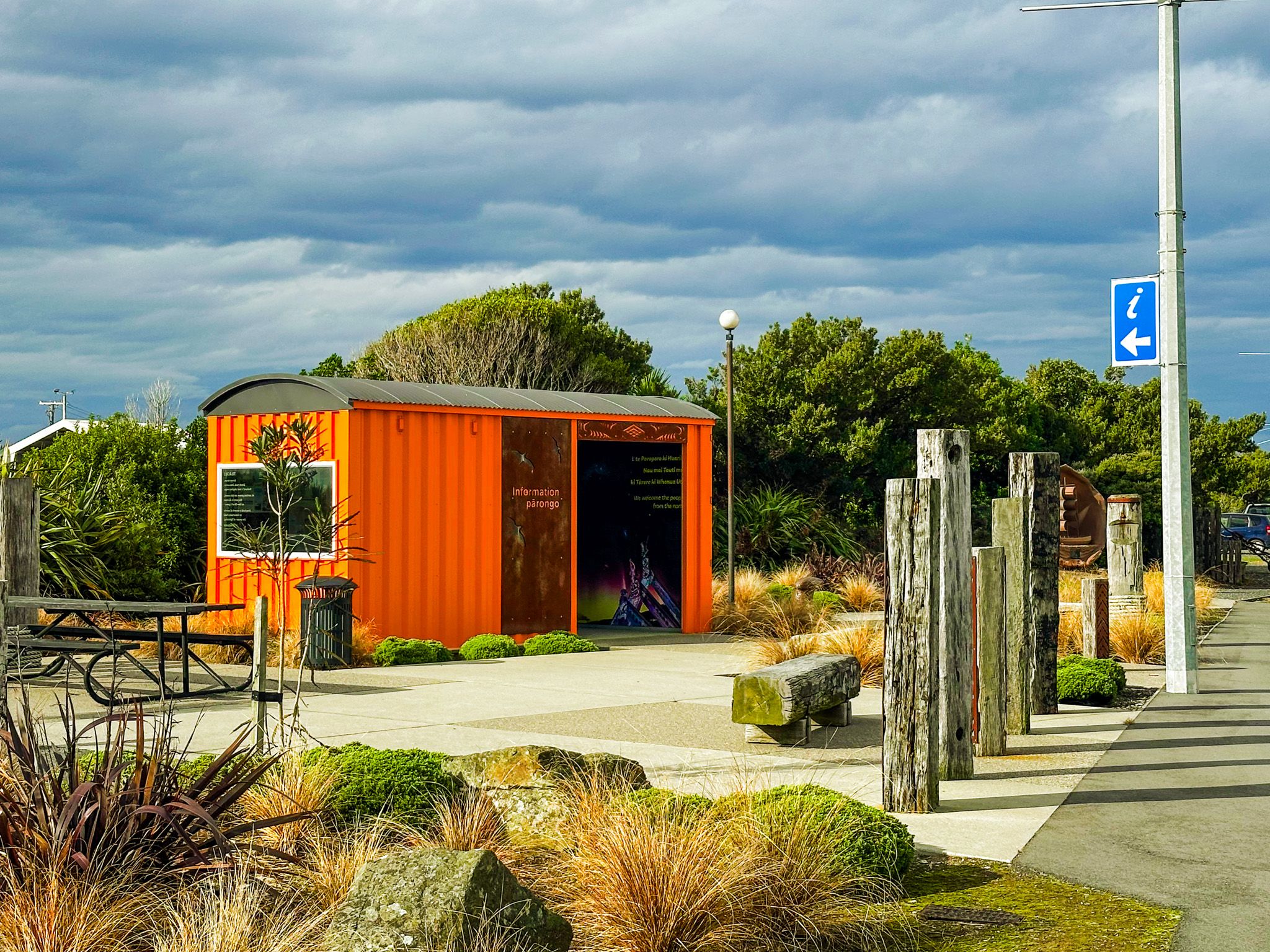
What to See in Town
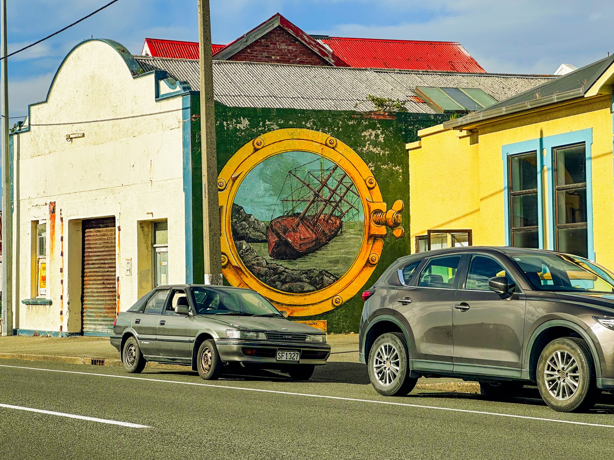
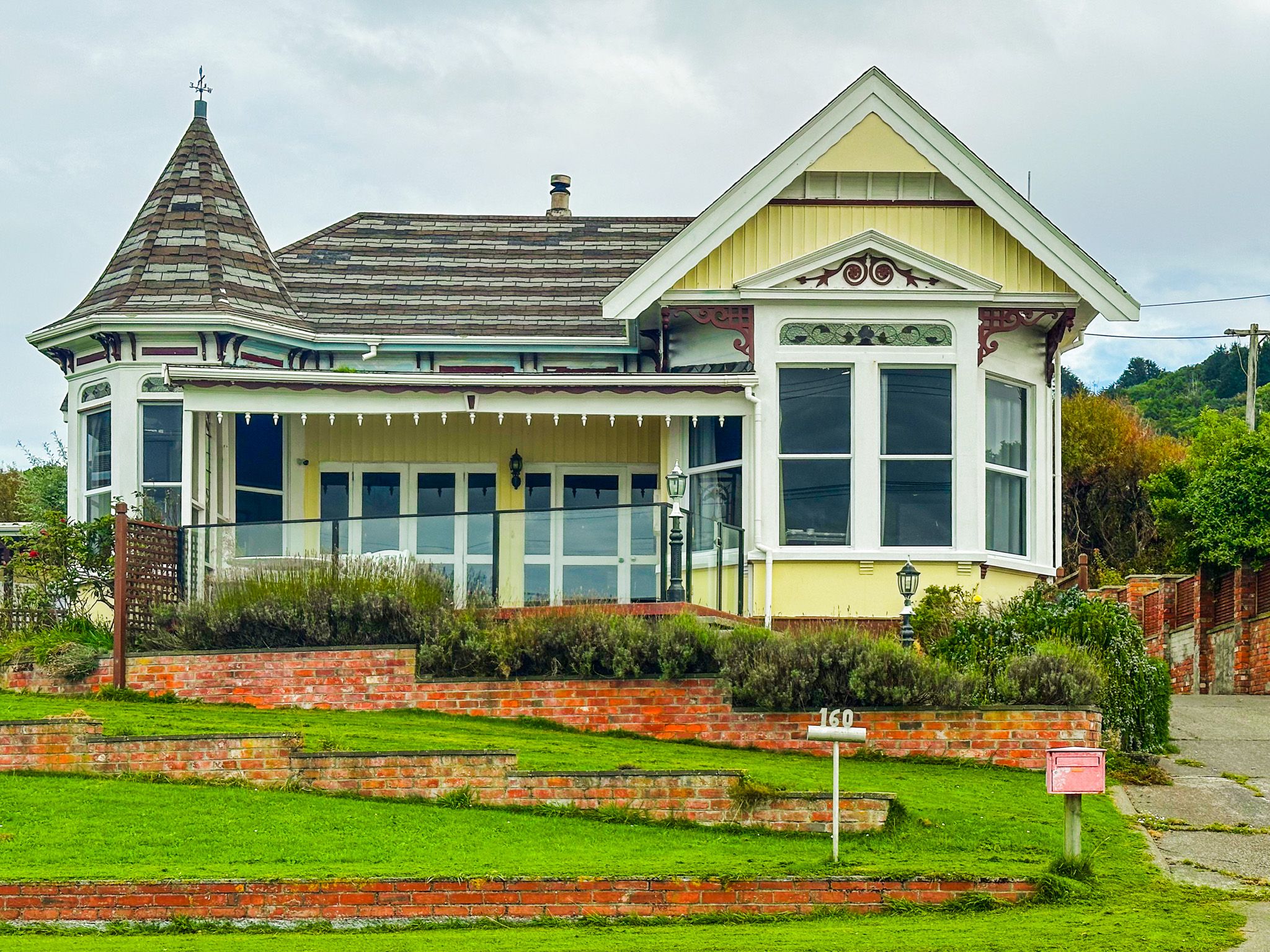
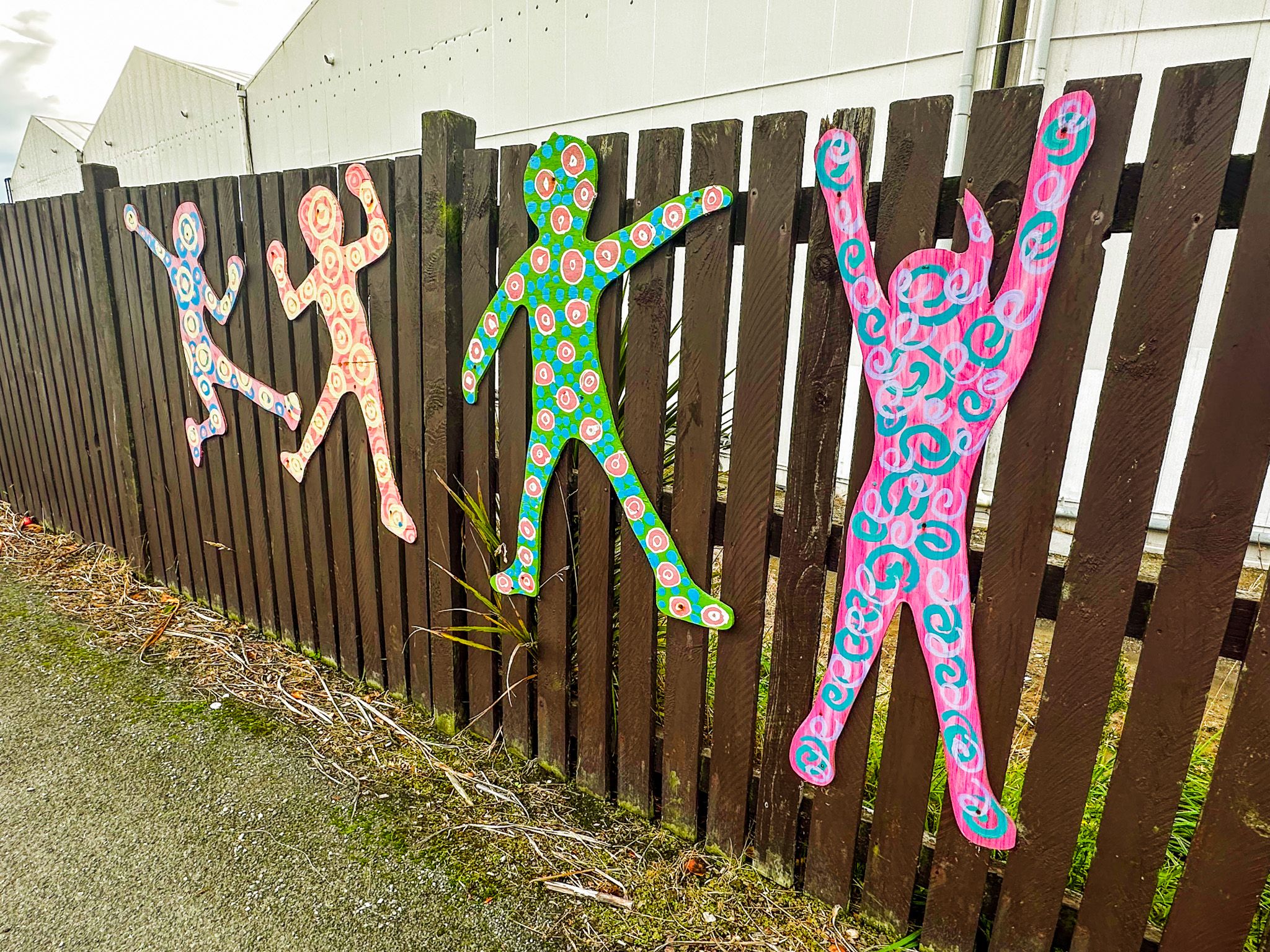
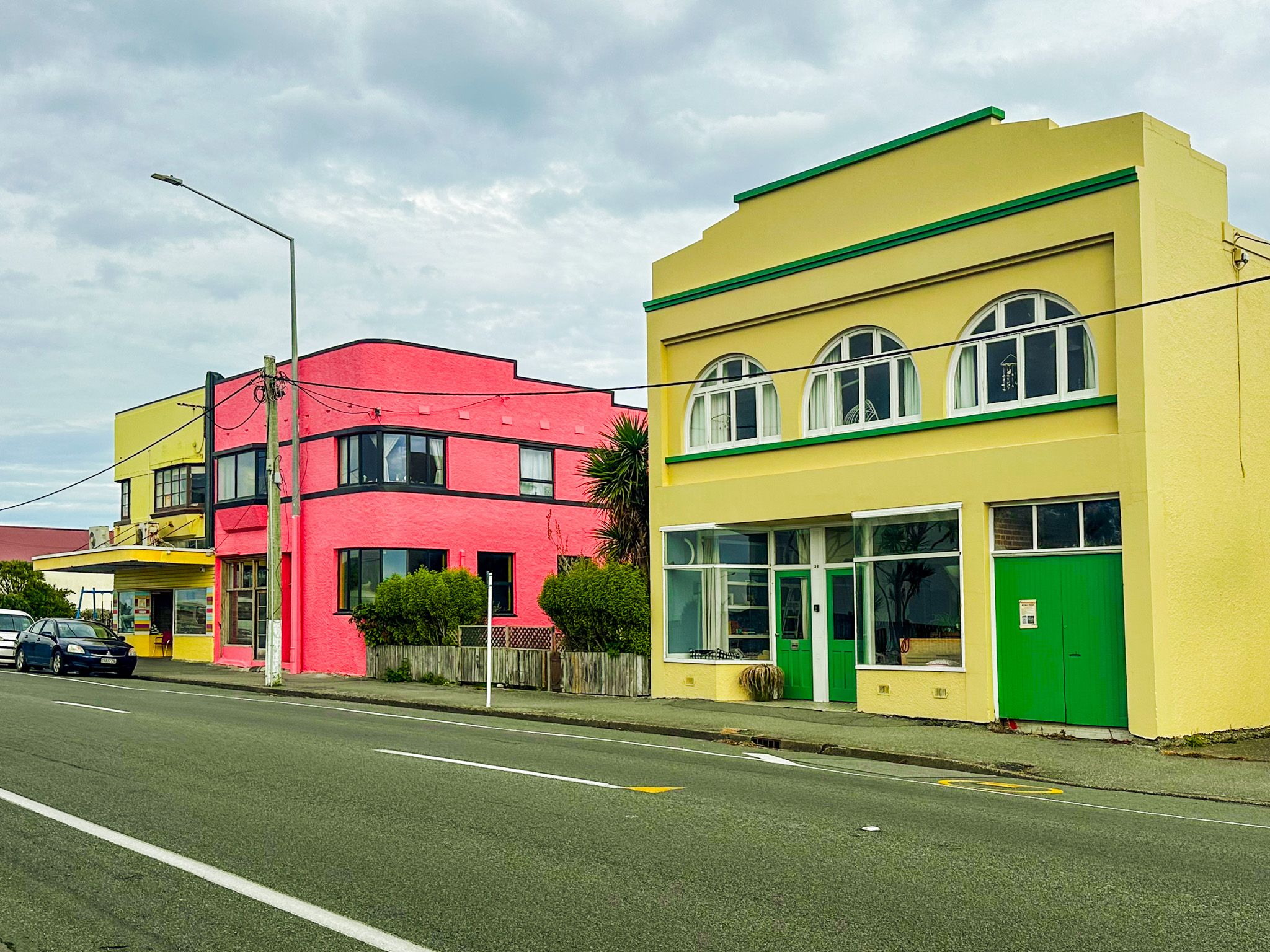
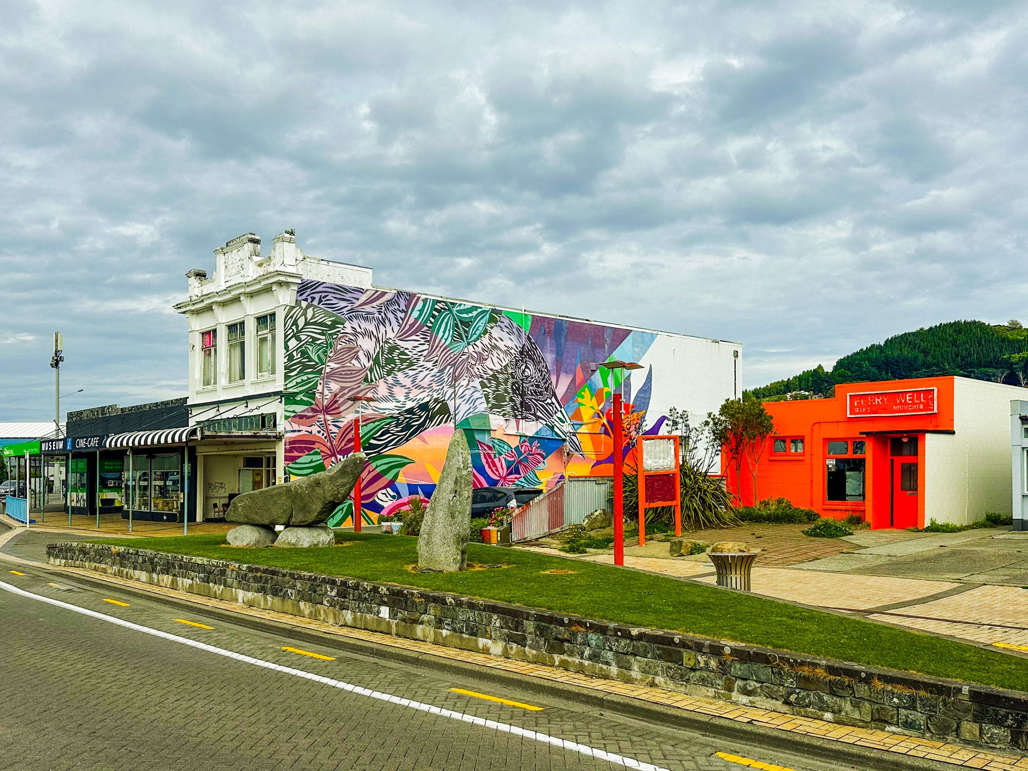
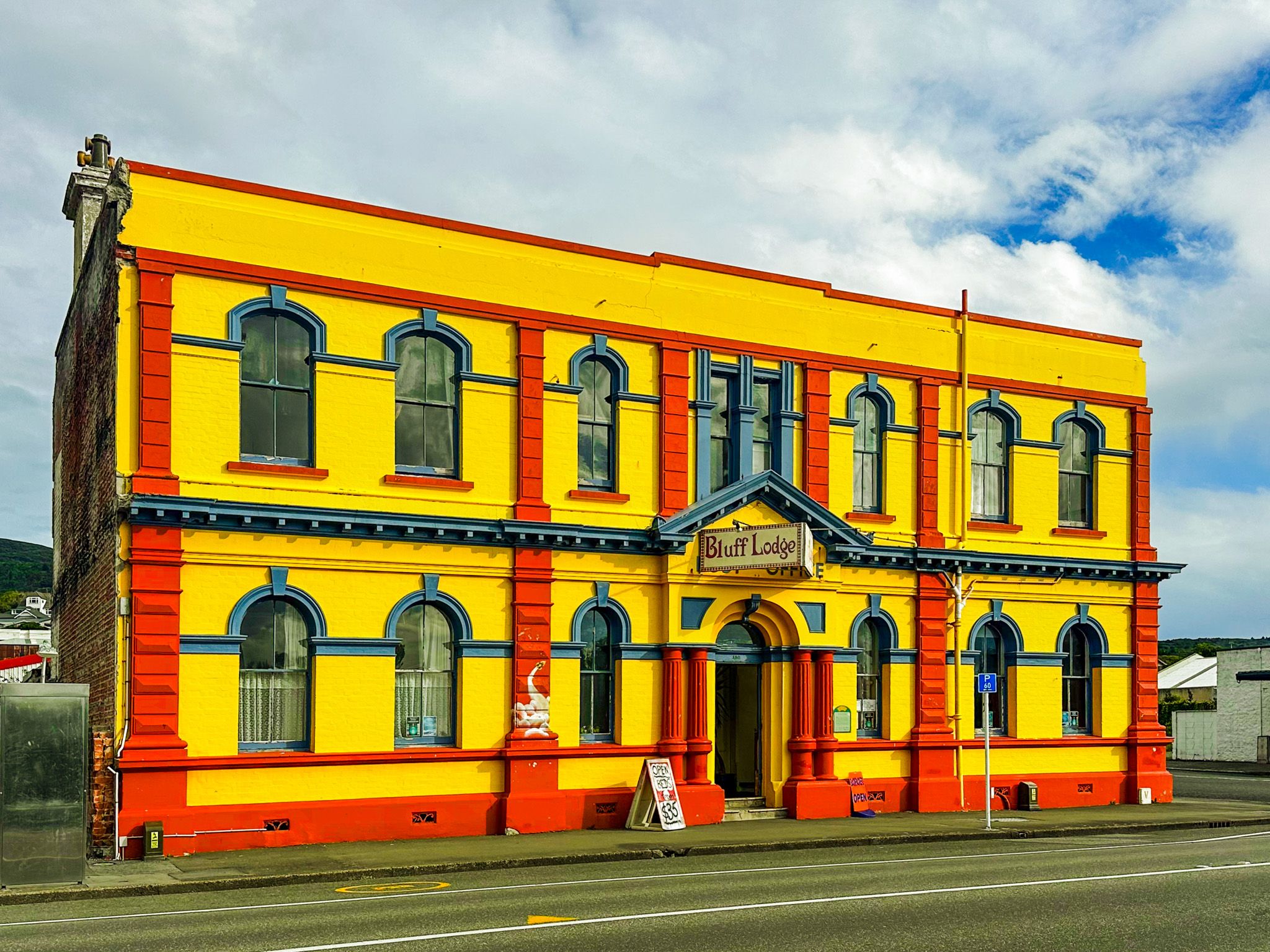
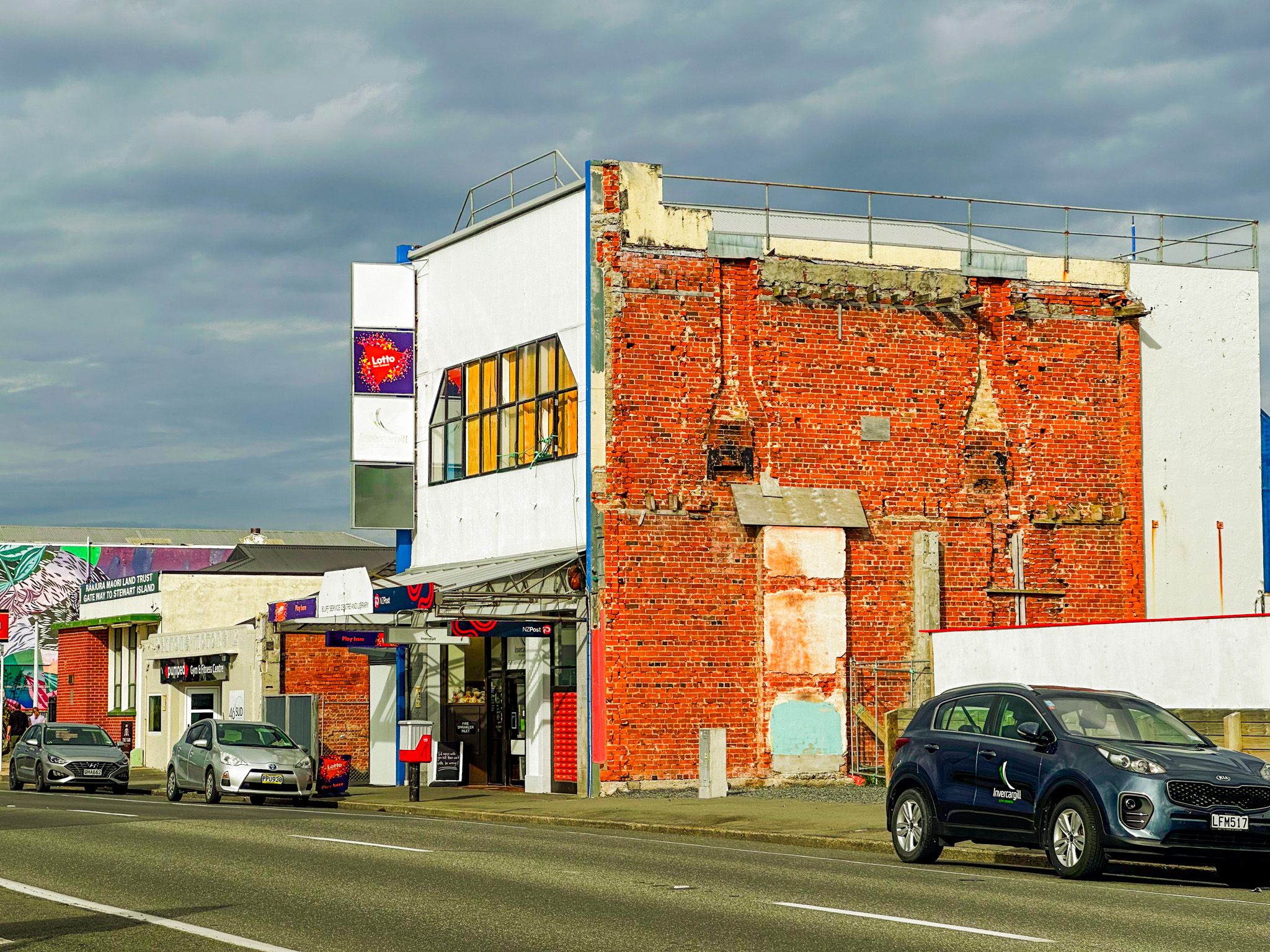
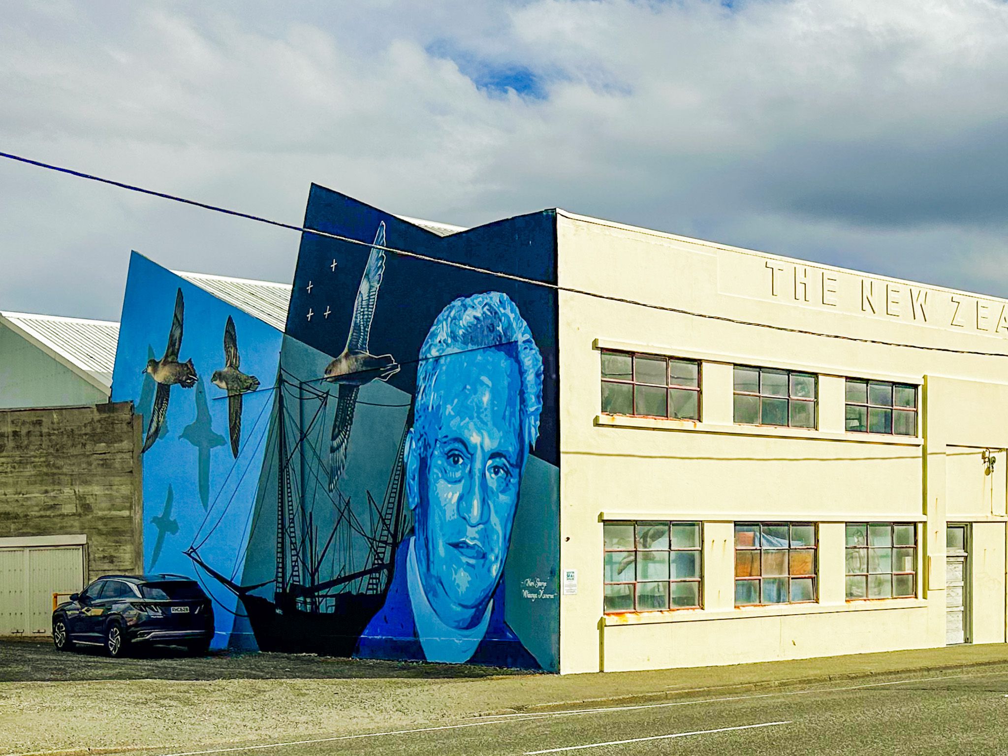
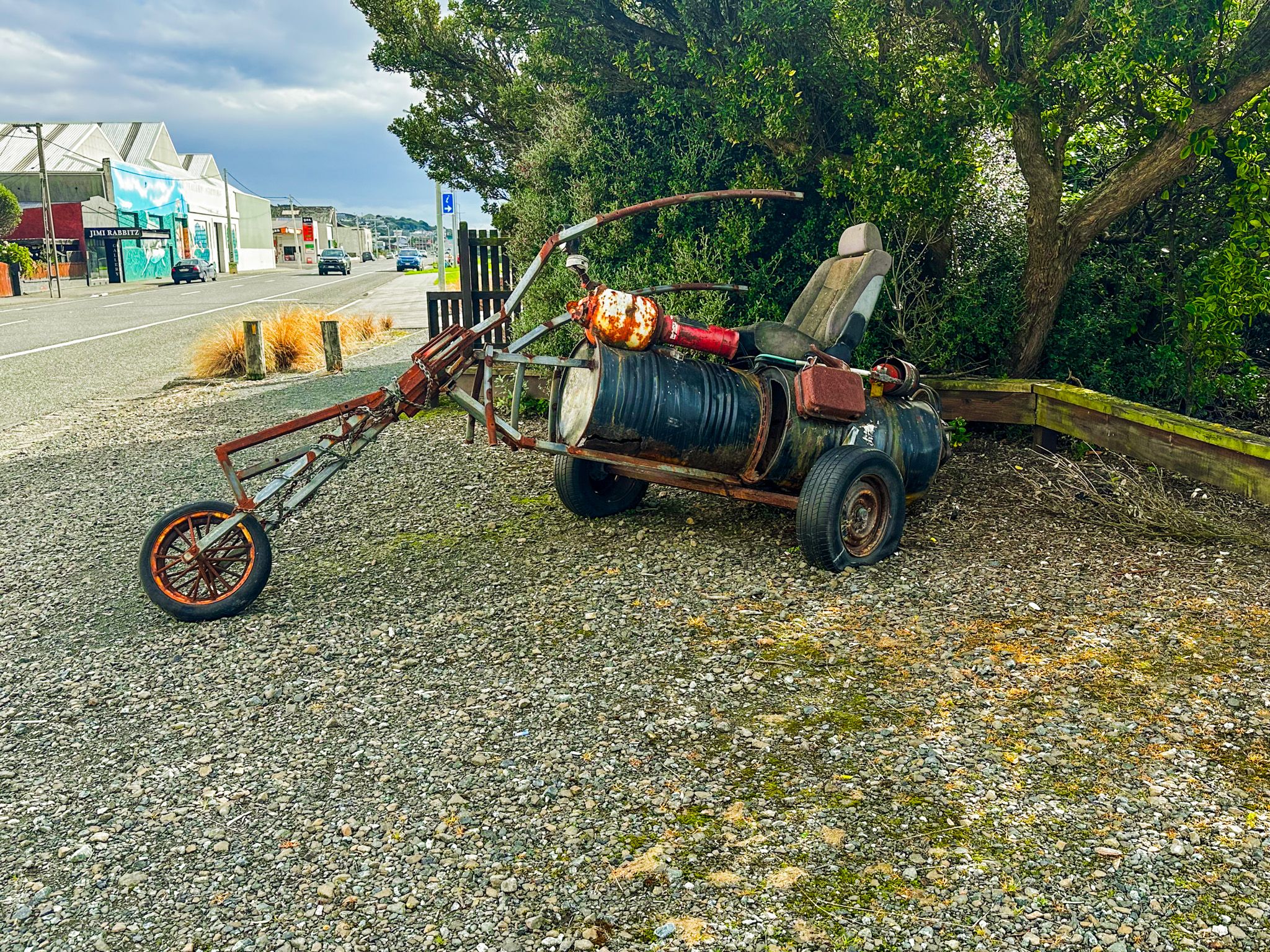
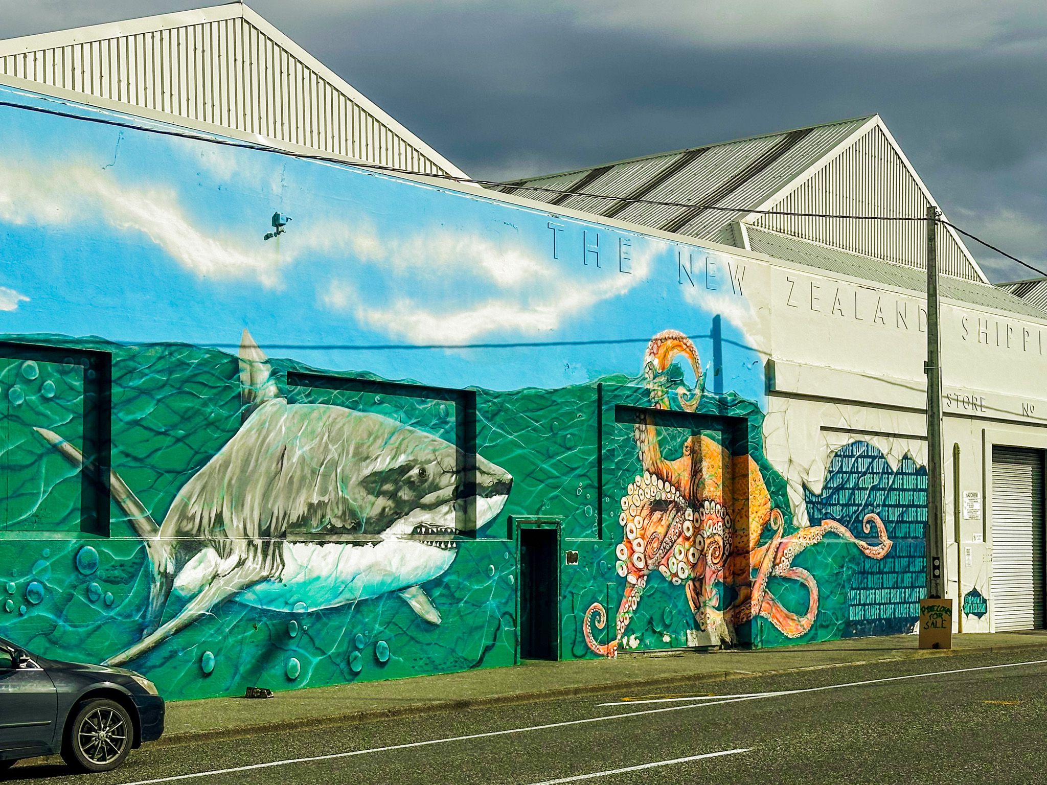
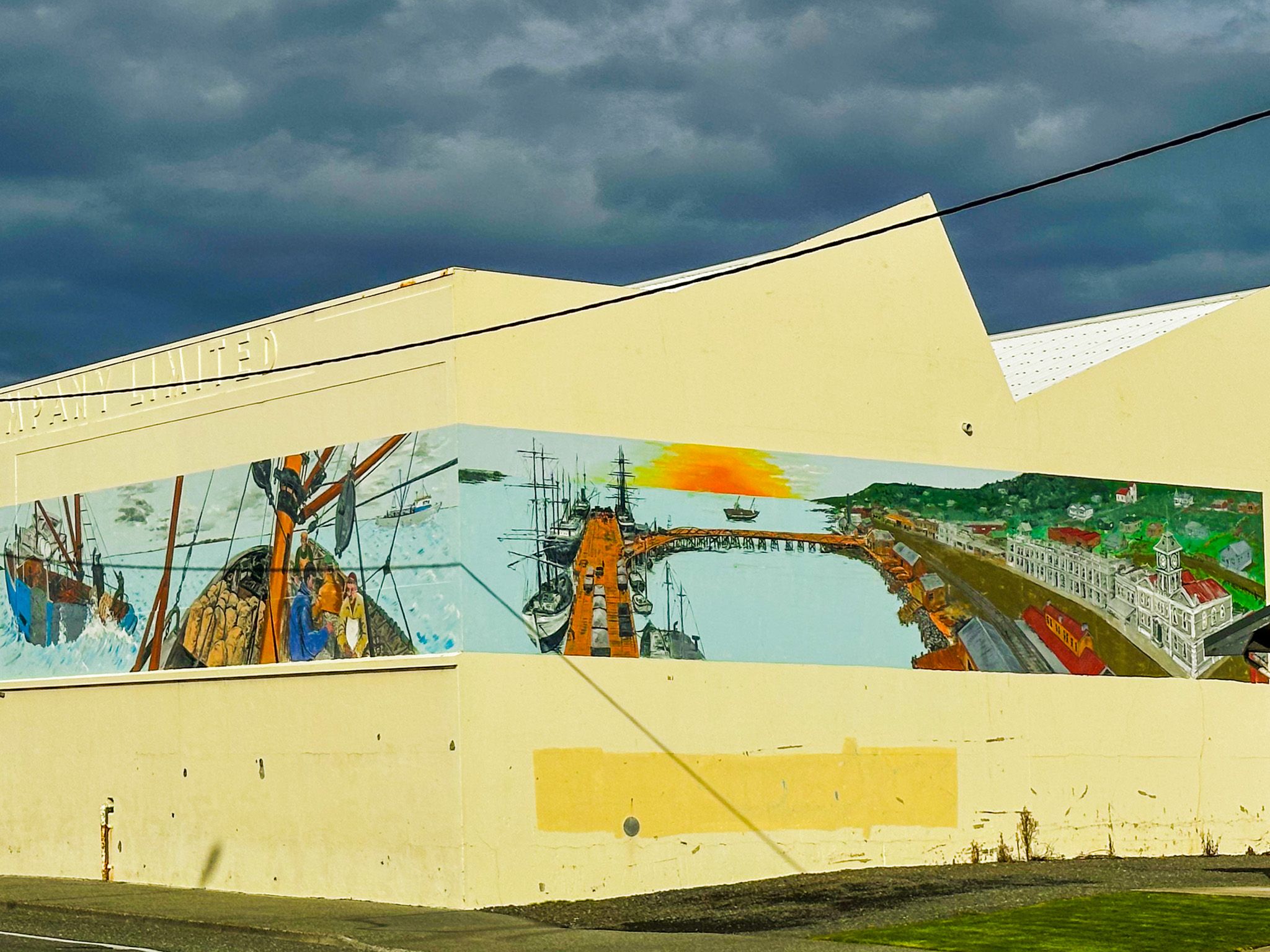
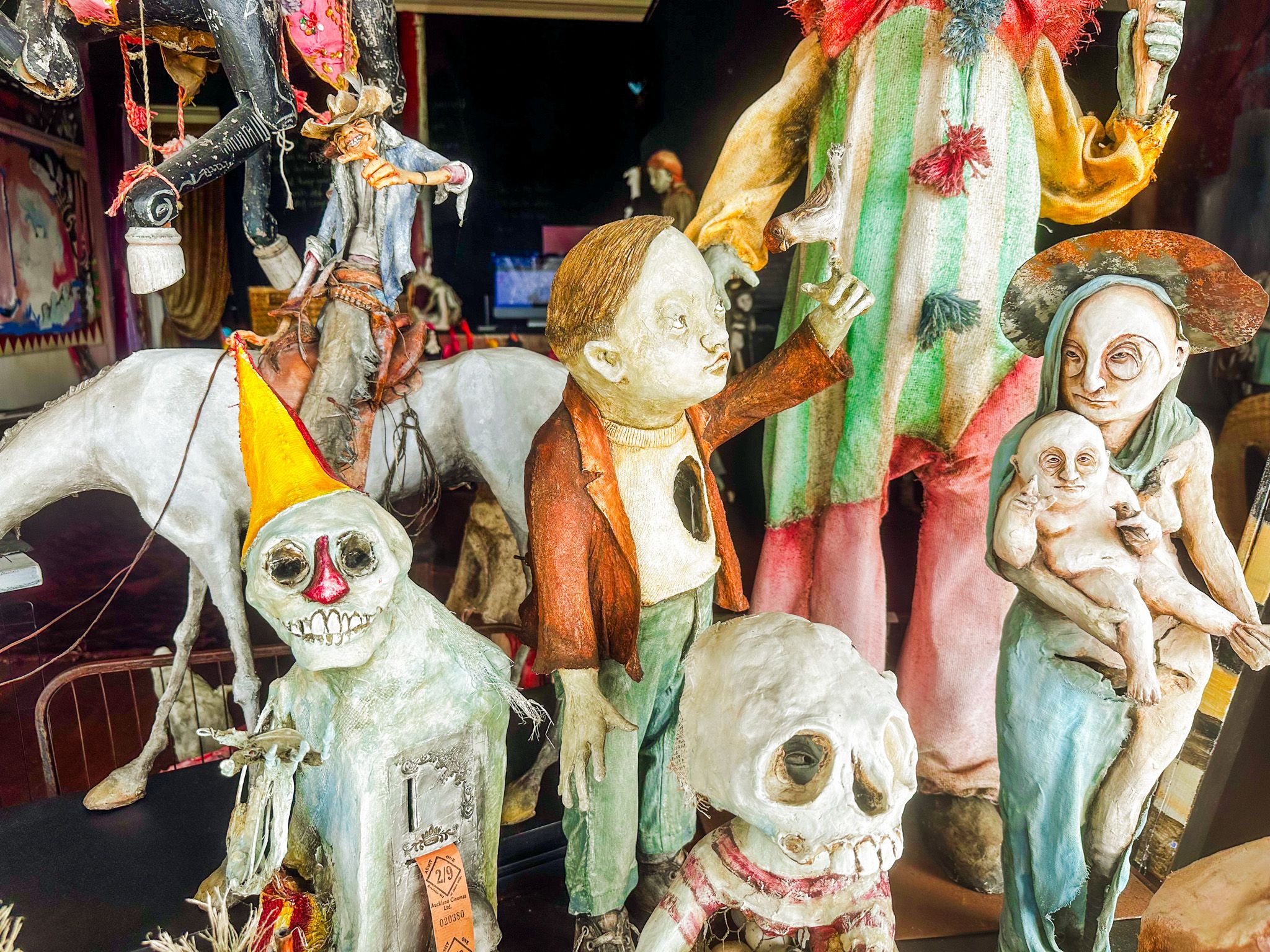
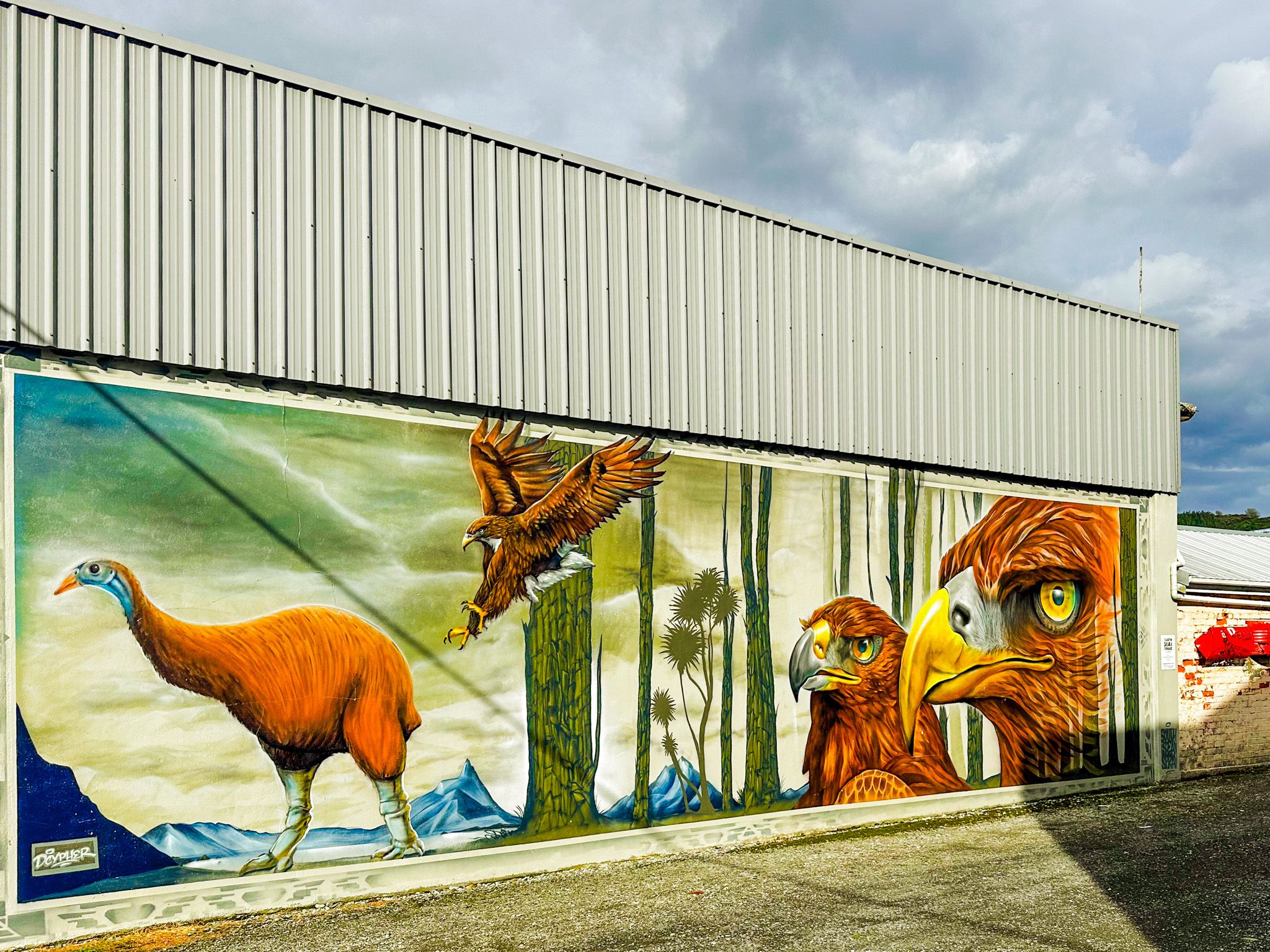
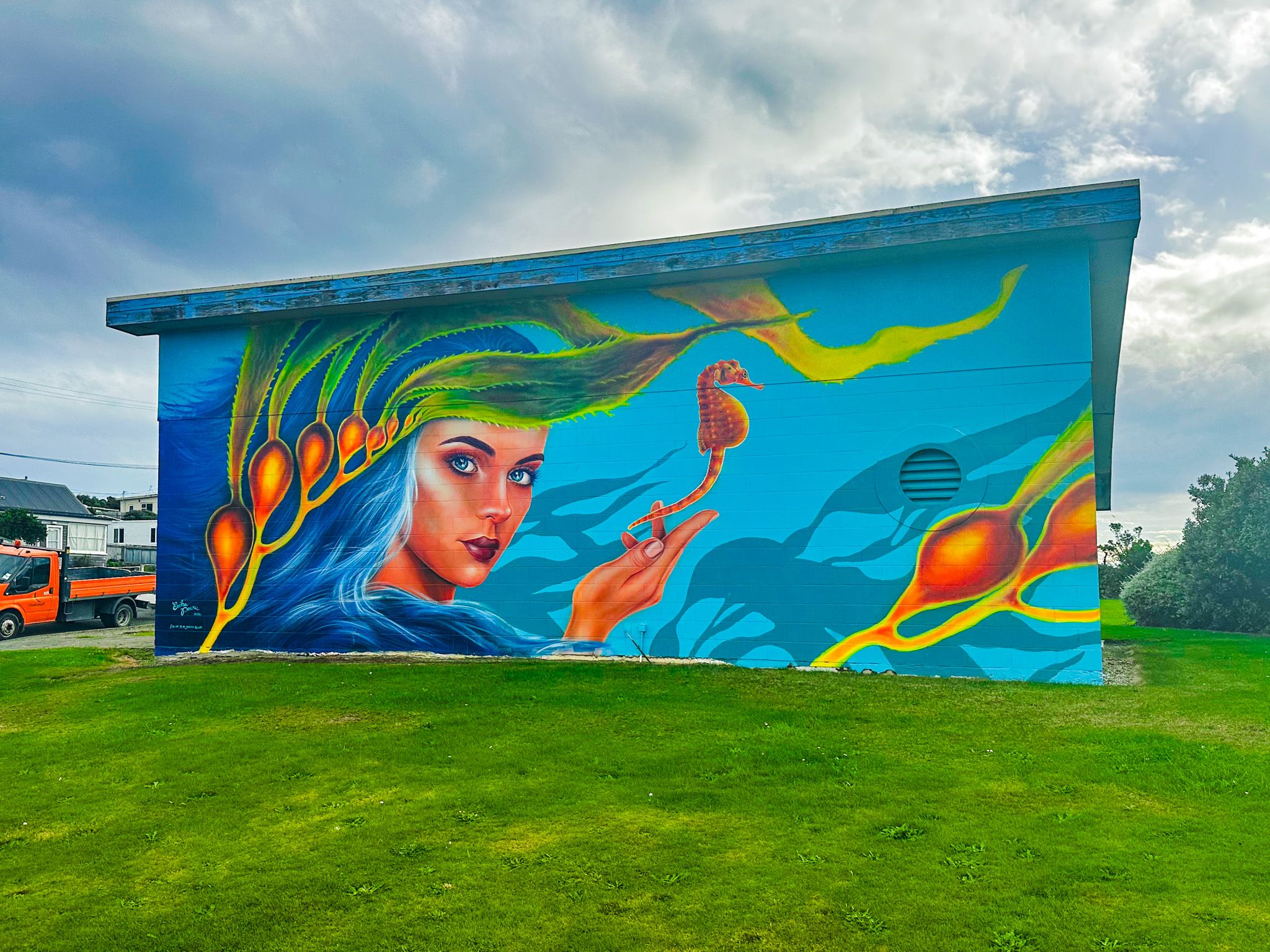
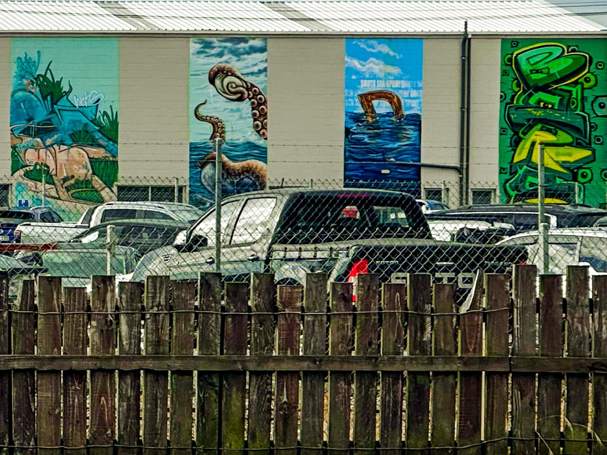
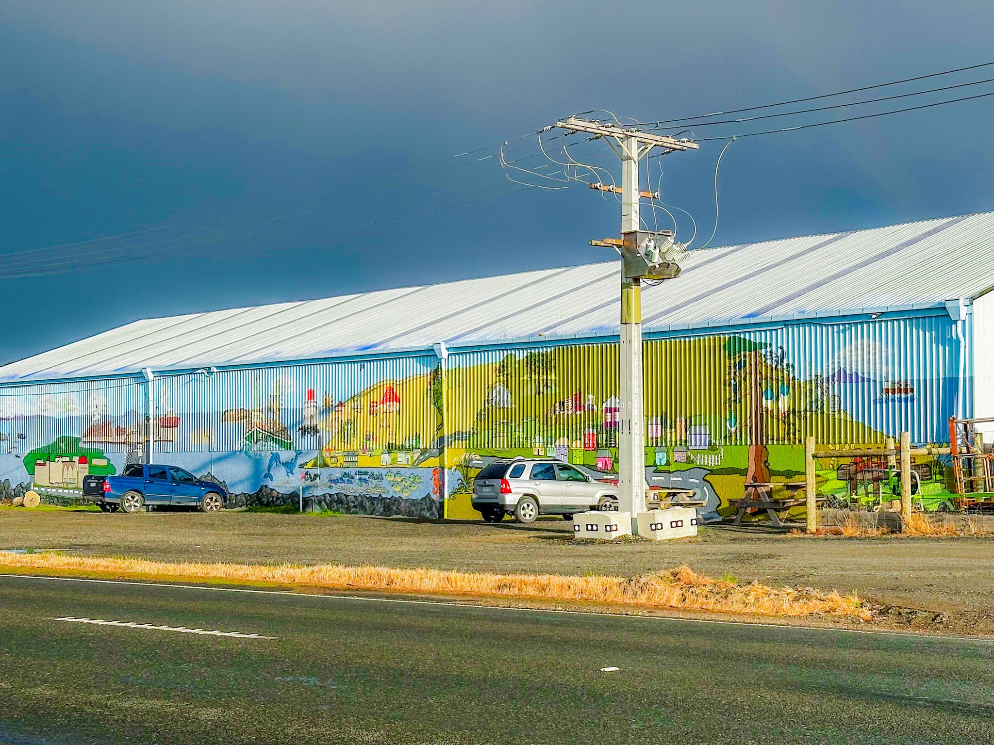
Bluff, at first glance, appears to have seen better days. The main street is mostly old commercial buildings, some of which have been abandoned. However, it is also historic and colourful, with an extensive collection of large outdoor murals created by South Sea Spray. Similar collections by this group can also be found in Invercargill / Waihopai, Aparima / Riverton, Winton, Te Anau and Gore. You can also discover distinctive local art, including the fairy-tale creations of Helen Back at the Jimi Rabbitz Gallery.
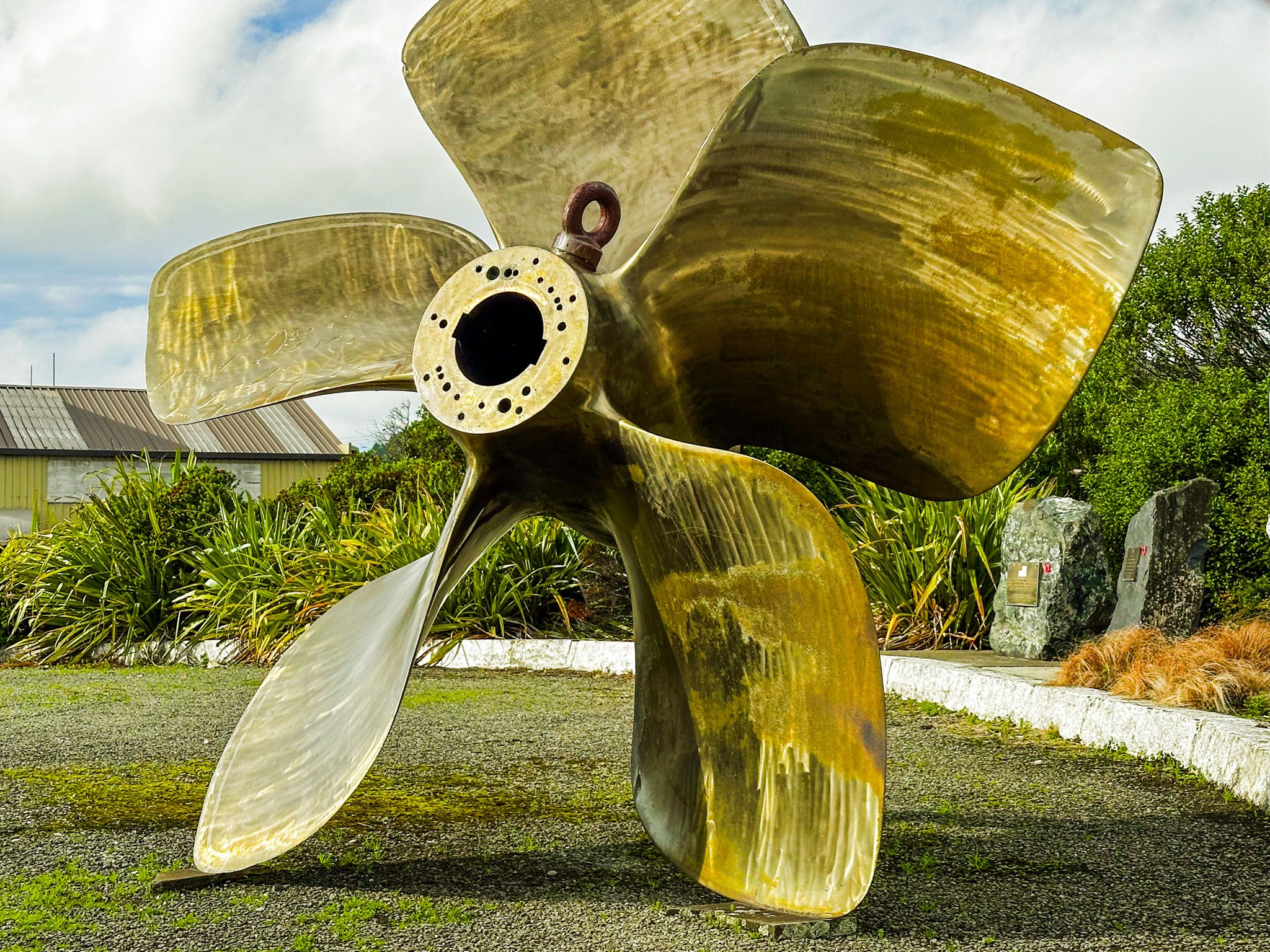
The Bluff Maritime Museum near the port entrance has an extensive collection of models, artefacts, and photographs covering the town's whaling, oystering, and shipwreck history. Its centrepiece is the Monica, a full-sized working oystering boat, alongside a functioning triple-expansion steam engine.
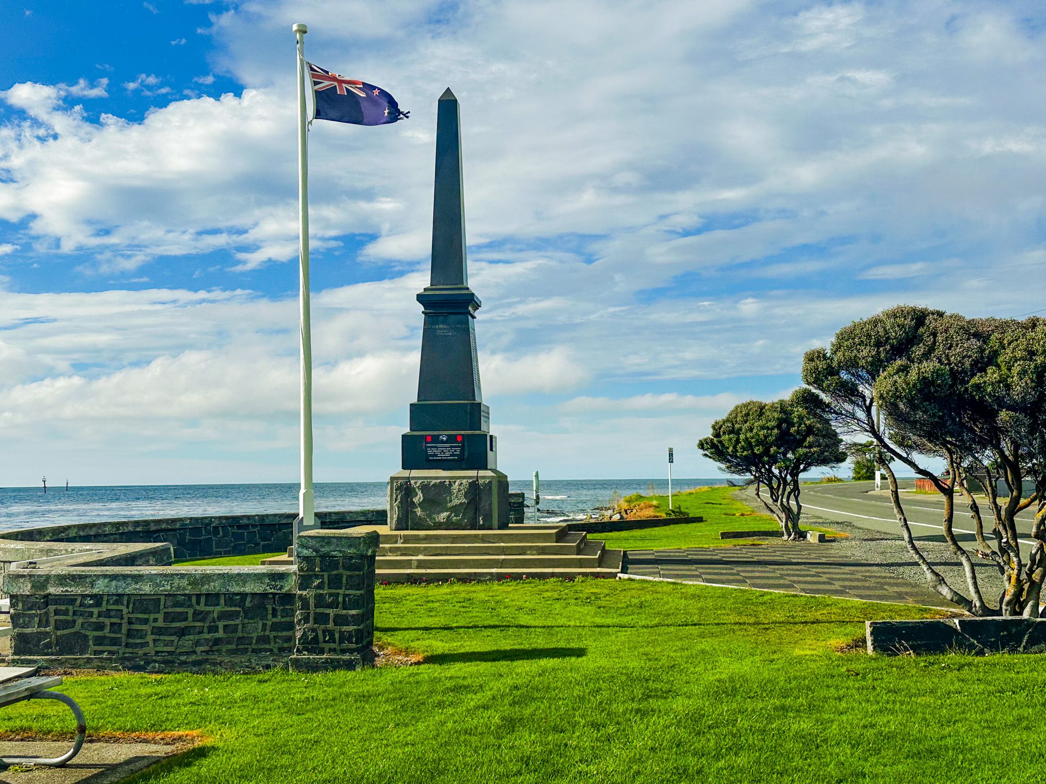
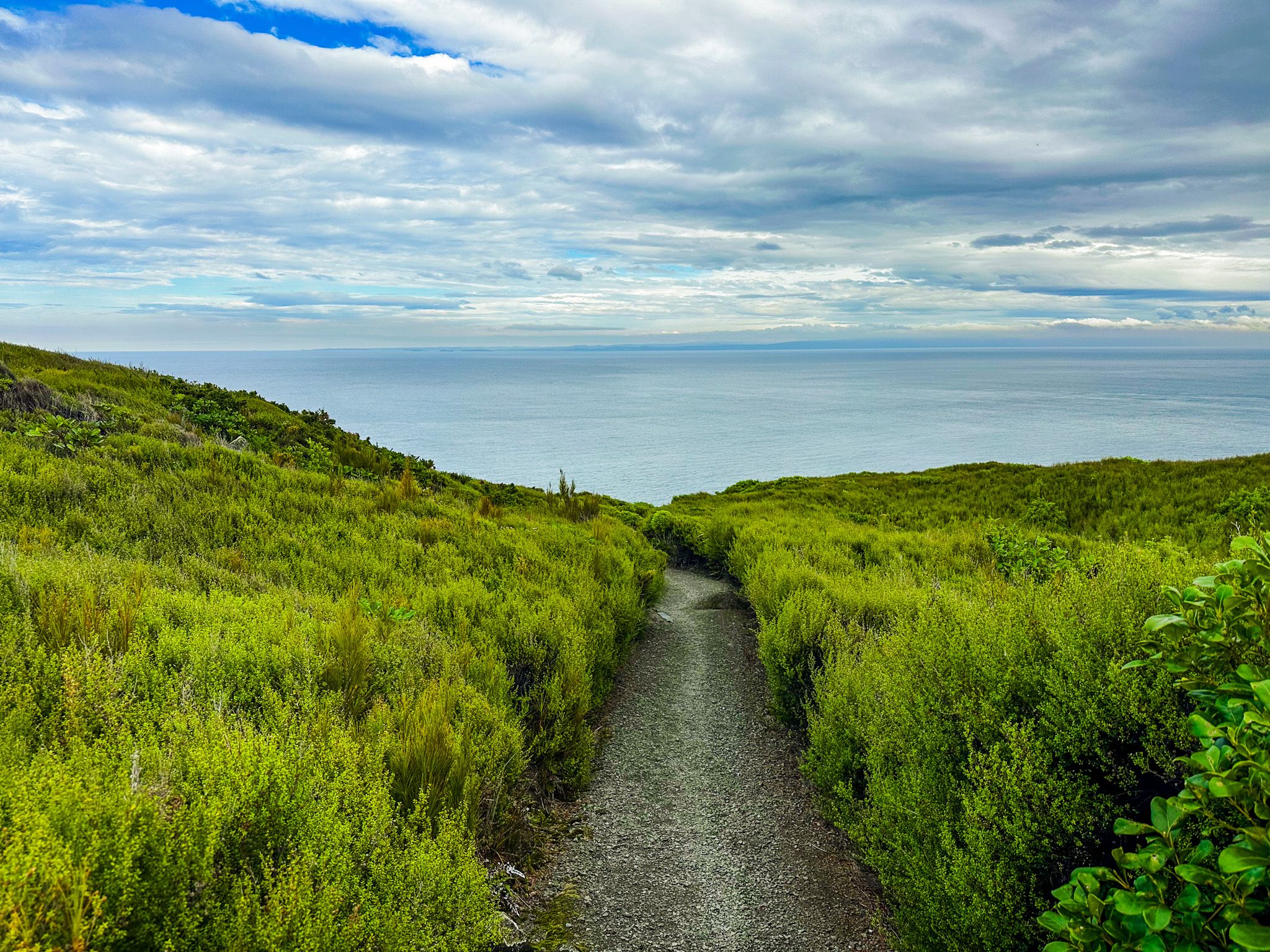
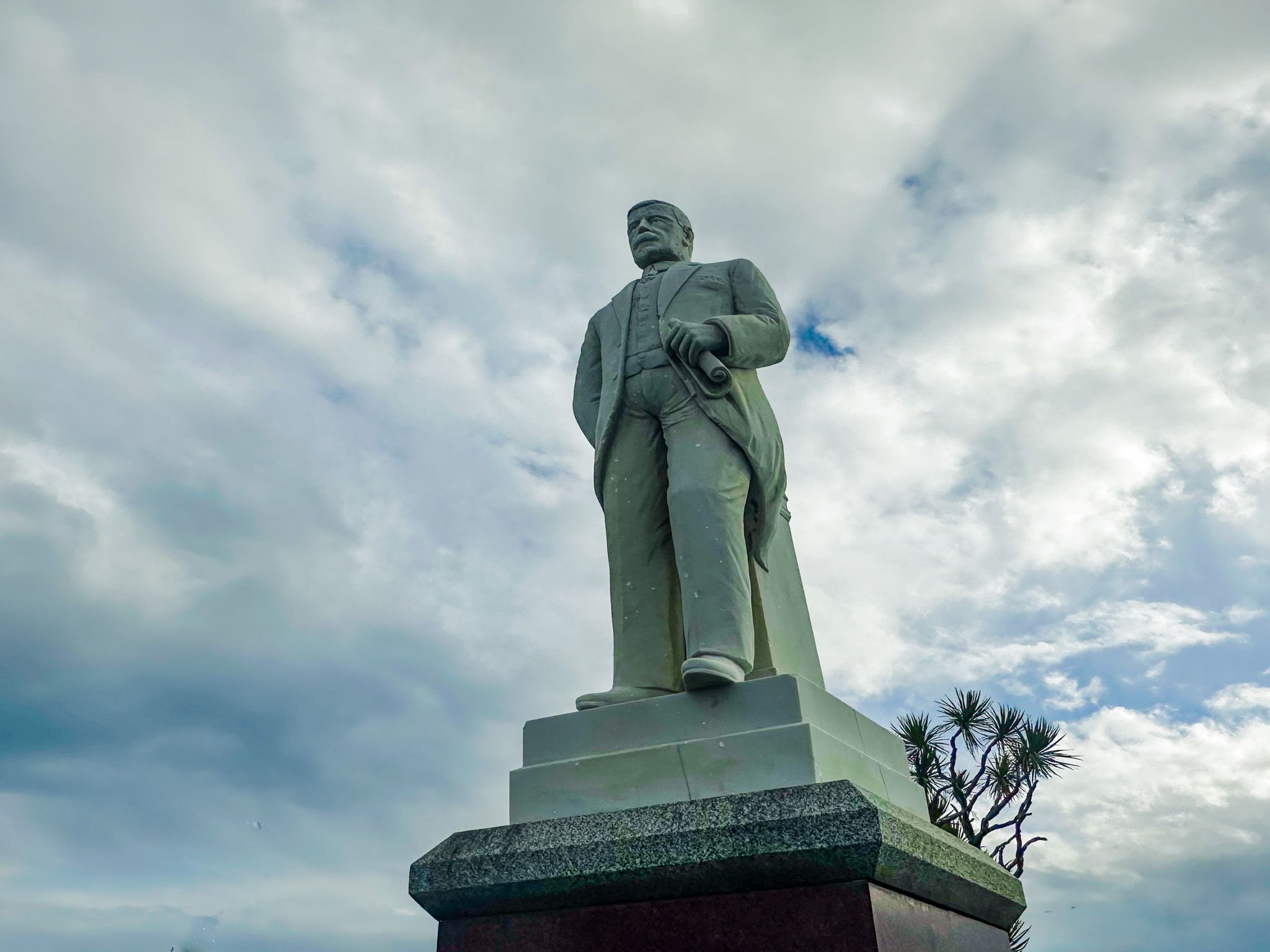
The town's heritage trail links 17 sites, beginning at the Greenhills Church and passing by the Joseph Ward statue (a two-time NZ prime minister in the early part of the 1900s), many of the historic buildings, the old Bluff cemetery, and down to Stirling Point, which is the southern end of State Highway 1 and Te Araroa. It is also the start of a wonderful loop walk over Bluff Hill.
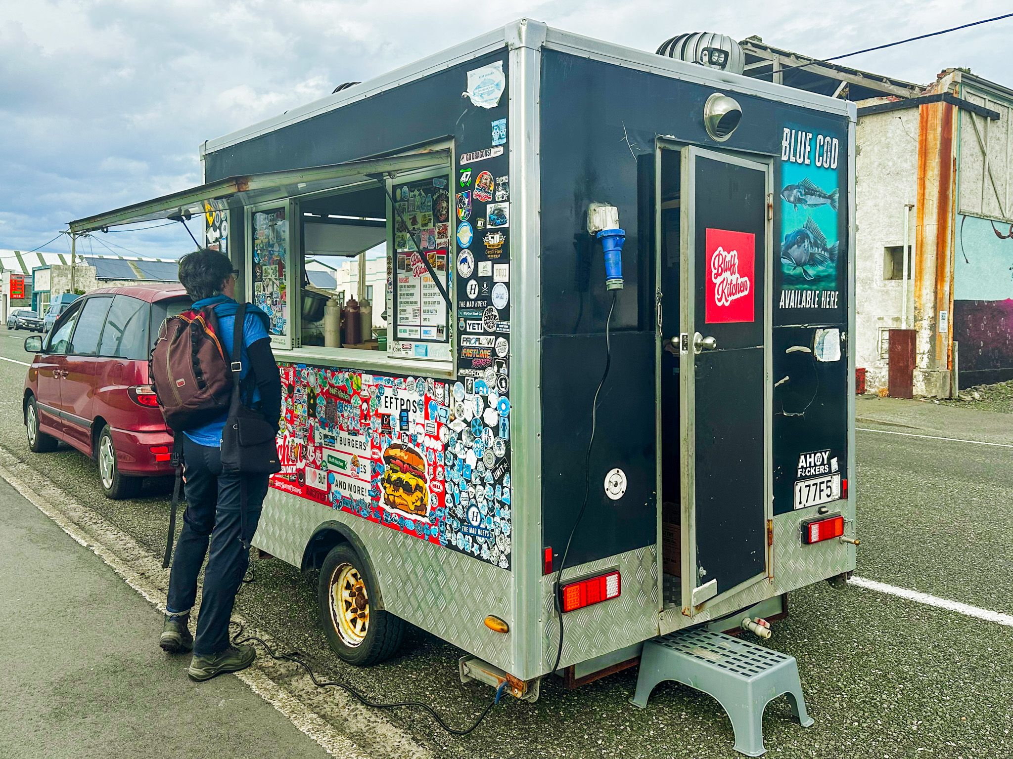
In season, there is the option of bluff oysters and even muttonbird, along with cafes and great fish and chips.
Ngāi Tahu and Early Settlement
The Māori name for Bluff is Motupōhue. This means "Island of Pōhue" and refers to the distinctive island-like outline of Bluff Hill as seen from the water, and its association with the pōhue plant. This is a climbing shrub with silvery leaves and white flowers, common around forest margins in coastal areas.
The area was used by Ngāi Tahu as a base for fishing and resource gathering well before European contact, and smaller Māori settlements were established at Ocean Beach and other points around Foveaux Strait. By the time of European arrival, the main Ngāi Tahu base in the region was Ruapuke Island, about 20km southeast of Bluff and the seat of the paramount chief Tuhawaiki, known to Europeans as Bloody Jack. He was capable in his interactions with sealers, whalers and traders, and became a whaler.
The nickname has a couple of plausible explanations - that he picked up the use of the British swearword “bloody” or that it referred to his preference for British Army redcoats, which he and his men acquired in Sydney. His leadership was also vital in the Ngāi Tahu fightback against the invasion of the South Island by Ngāti Toa and its allies during the Musket Wars, led by Te Rauparaha in the 1830s. A taua (war party) led by him pushed the invaders all the way back to White Bluff near Blenheim, nearly capturing Te Rauparaha.
Another interesting feature of southern Māori is the Kāti Māmoe connection. This iwi migrated to the deep south from Hawke Bay in the 1500s. They were subsequently absorbed by Ngāi Tahu, also migrating south 100 years later, but retained a strong local identity. They describe Motupōhue as the “true top of NZ”, taking the view that the globe is upside down. Te Rau Aroha Marae on Bradshaw Street is the southernmost marae in New Zealand, established in the late 1800s.
The Oldest European Settlement in New Zealand
The first recorded European visit to Bluff Harbour was in 1813, when the brig Perseverance arrived in search of flax. In 1824, James Spencer, a veteran of the Battle of Waterloo, established a trading post to supply visiting ships, making him the first permanent European resident. Bluff's claim as the oldest continuously occupied European settlement in New Zealand rests on this date.
Captain William Stirling established a whaling station in 1836 for merchant Johnny Jones, and the settlement grew steadily around the developing port. It was officially named Campbelltown in 1856, though locals had always called it Bluff, and the name was formally changed in 1917.
The streets of Bluff are named after Irish rivers: Blackwater, Shannon, Boyne, Liffey and Barrow, a counterpoint to Invercargill's Scottish river grid, reflecting the mix of origins among early settlers.
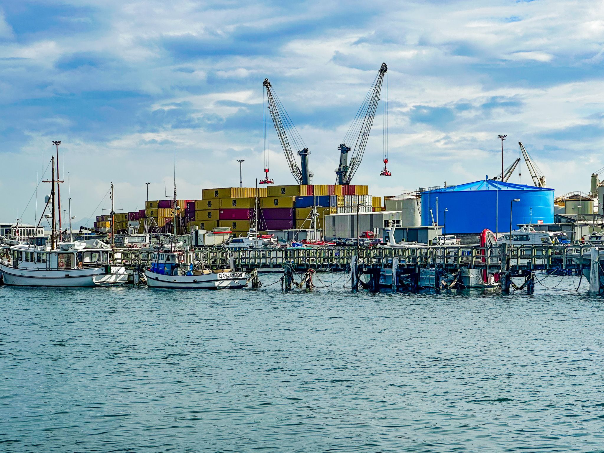
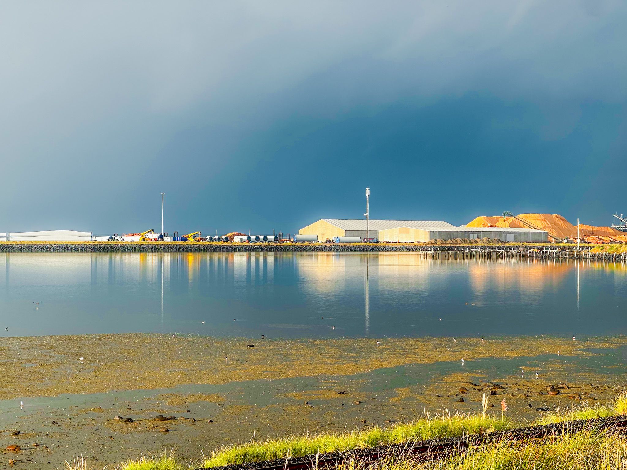
Port, Oysters, and Industry
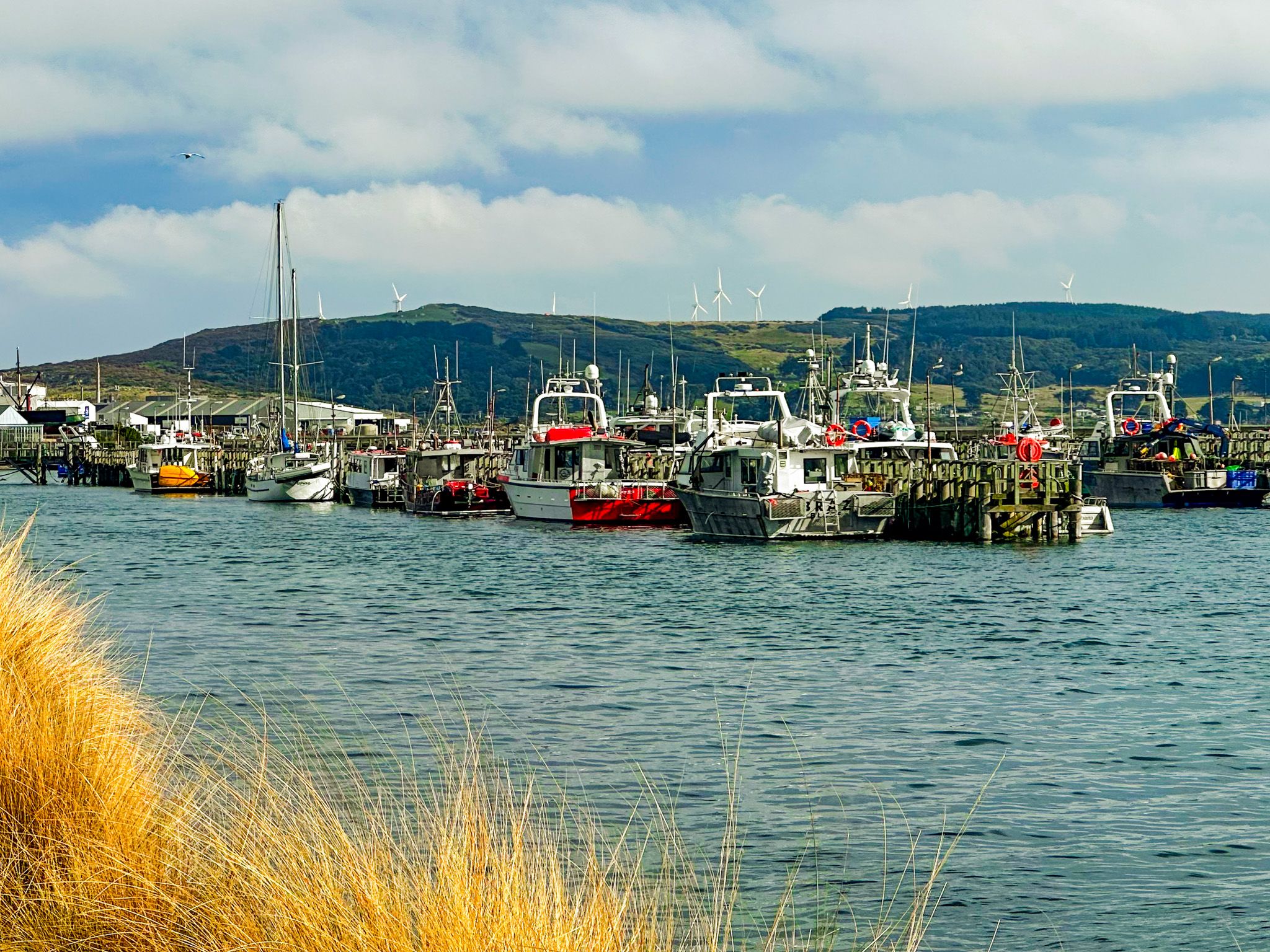
Bluff grew as the export port for Southland's agricultural output, particularly once frozen meat began shipping to Britain in the 1880s. Sir Joseph Ward, twice Prime Minister, began his career in Bluff as a businessman, borough mayor, and chairman of the Bluff Harbour Board. The 40-hectare Island Harbour, constructed on a sandbank over eight years and opened in 1960, remains the centrepiece of the modern port.
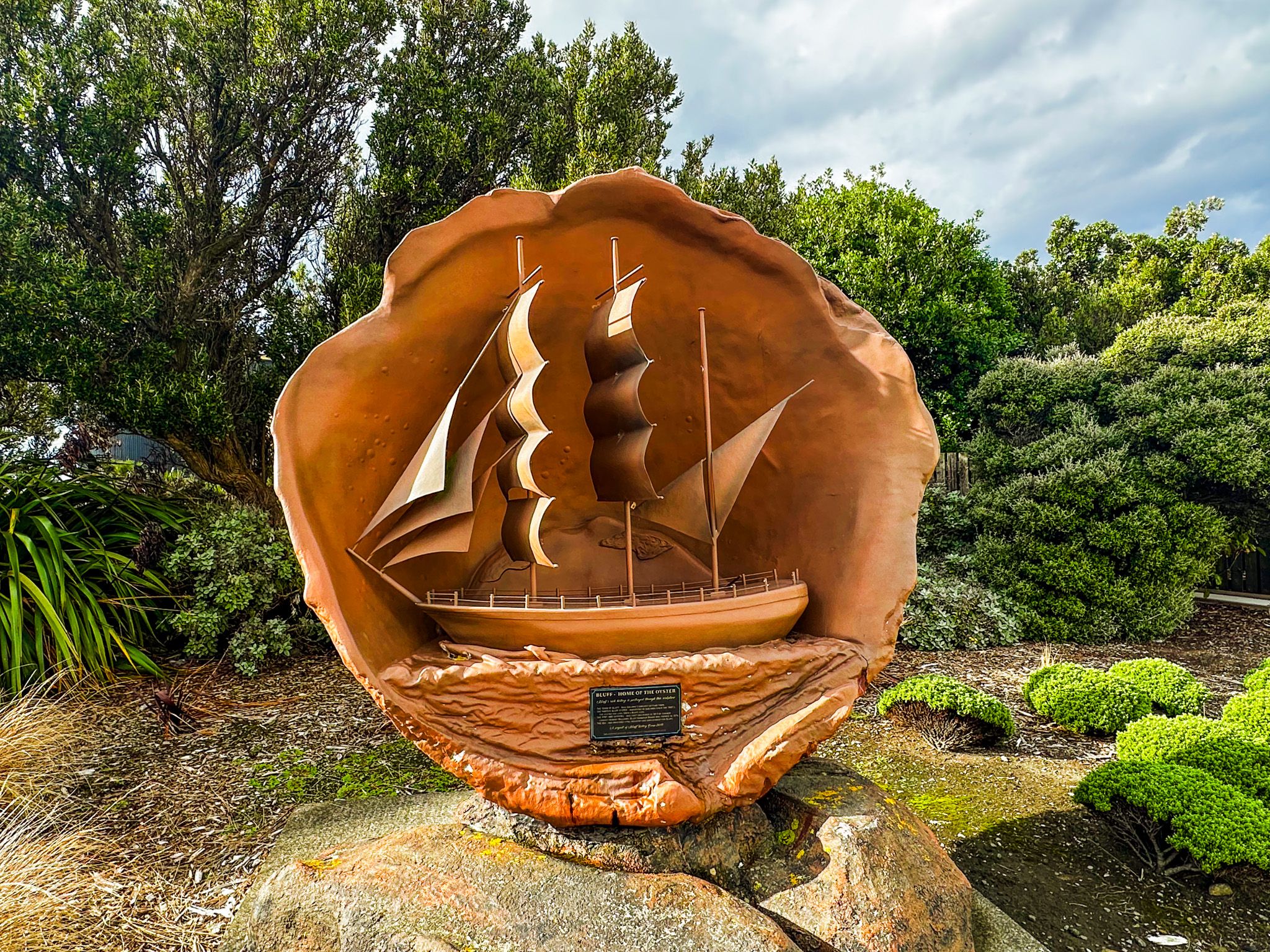
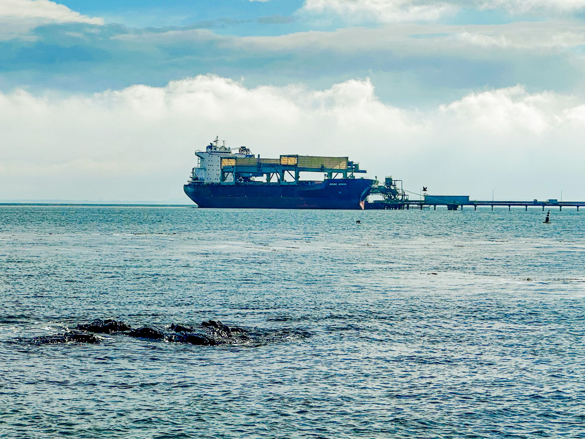
Today, South Port handles around 2.2 million tonnes of cargo annually, and the harbour is also the main New Zealand staging point for ships heading to Antarctica. Bluff oysters, harvested from the Foveaux Strait beds between March and August, are considered a national delicacy, and the annual Bluff Oyster and Food Festival held each May draws visitors from across the country.
How to Get There
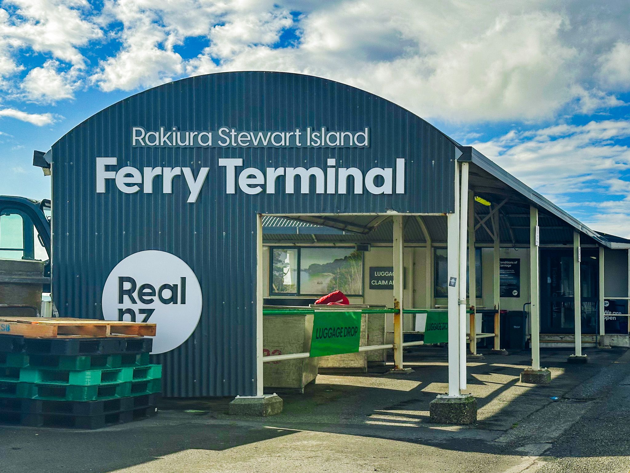
Bluff is 27 km south of Invercargill via State Highway 1. The drive takes around 25 minutes. The Stewart Island Experience ferry to Stewart Island / Rakiura departs twice daily from the Bluff ferry terminal on Foreshore Road, with the crossing taking about one hour.
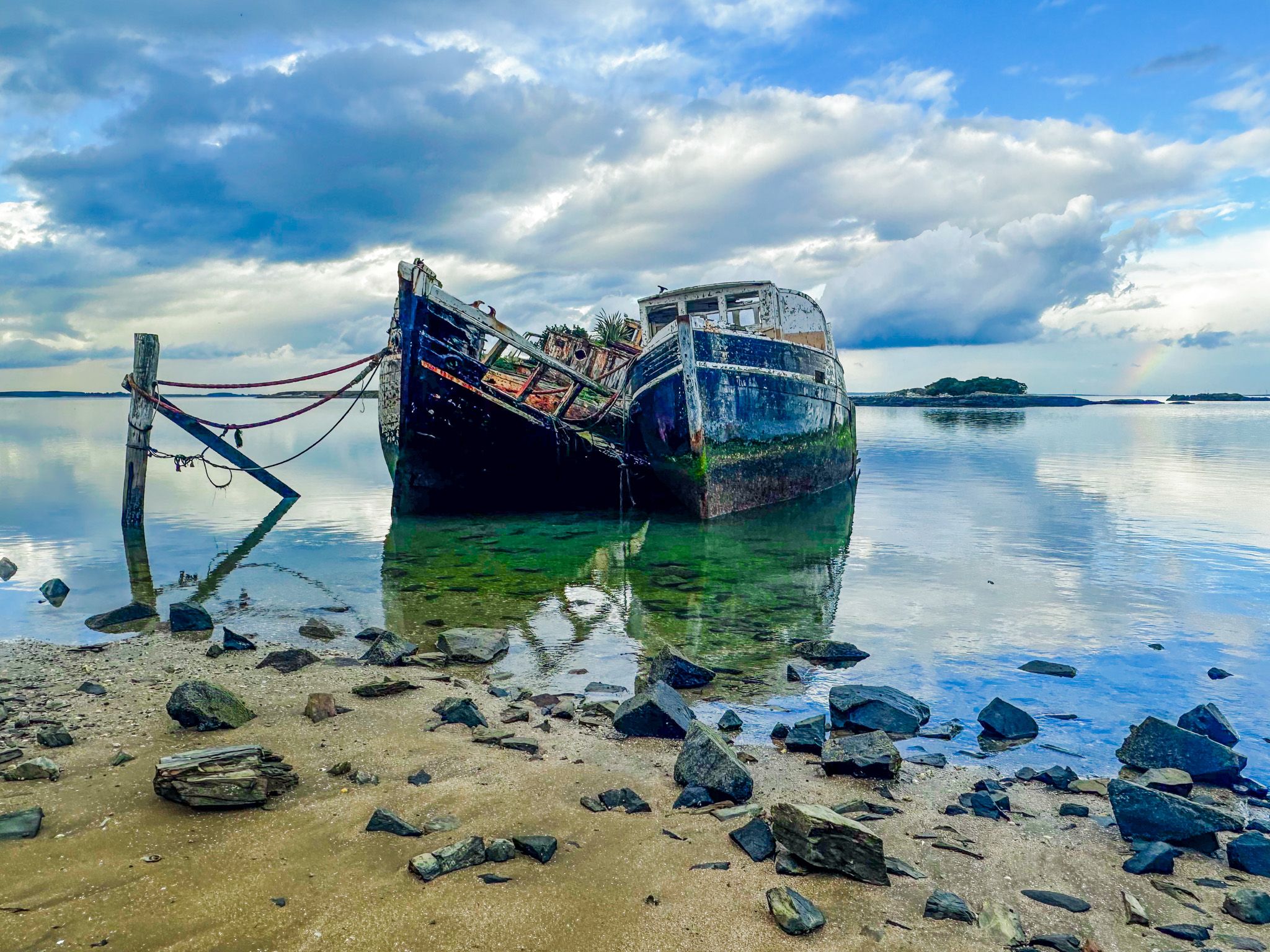
Other nearby places to visit include Greenpoint Ship Graveyard, Greenhills, Ōmāui and Oreti Beach.