The Remote Southwest side of Manukau Harbour
The Āwhitu Peninsula in Auckland extends roughly 50 kilometres northward from the mouth of the Waikato River to the entrance of the Manukau Harbour, forming a long, narrow arm of land between the wild Tasman Sea to the west and the sheltered harbour to the east. Despite lying just 30 kilometres from Downtown Auckland as the crow flies, it remains one of the least developed parts of the Auckland coastline: rolling farmland, steep and erosion-prone gullies, a string of quiet harbour bays, and a wild black-sand coast that faces the full force of the Tasman.
The Geography of the Peninsula
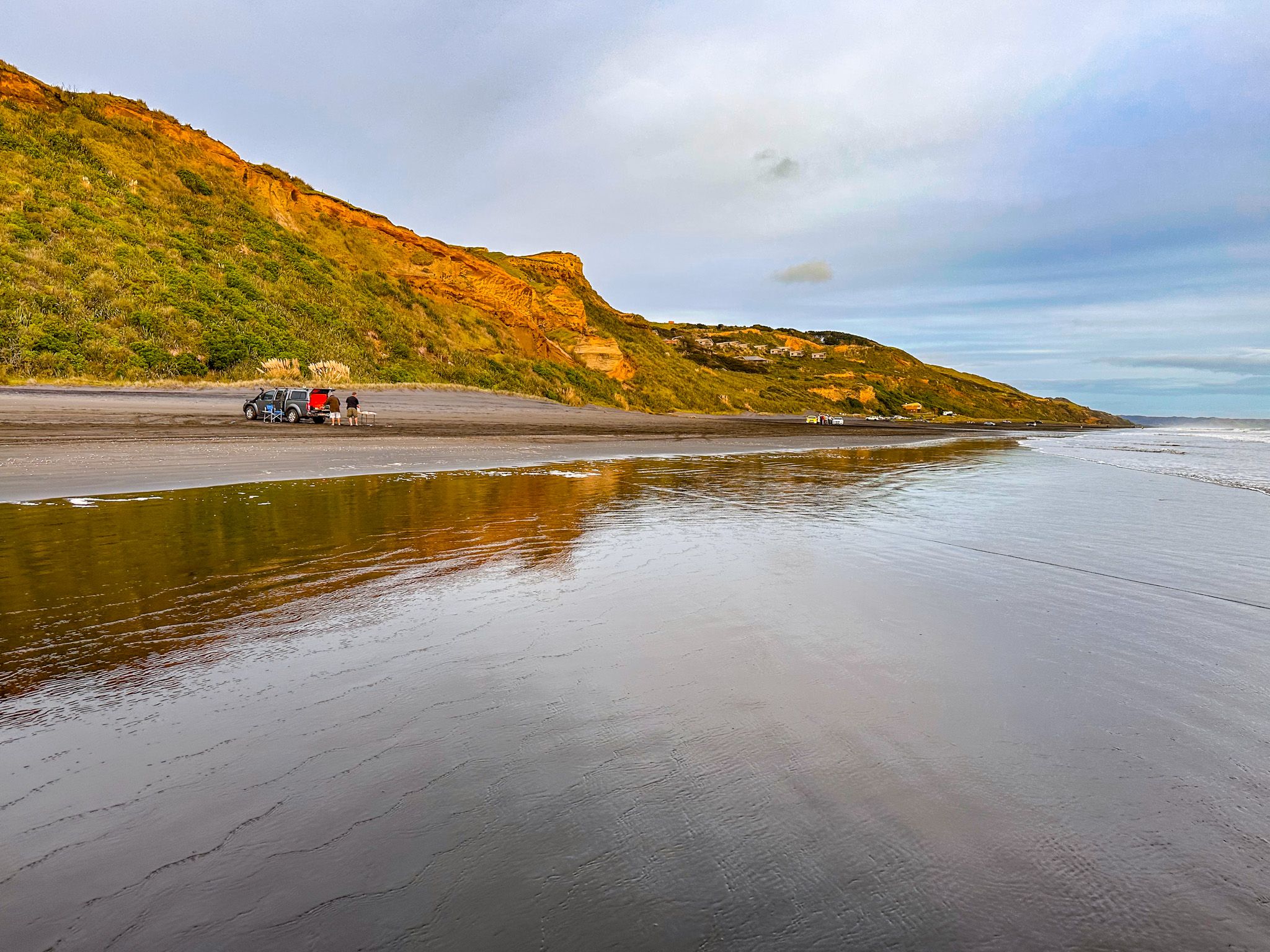
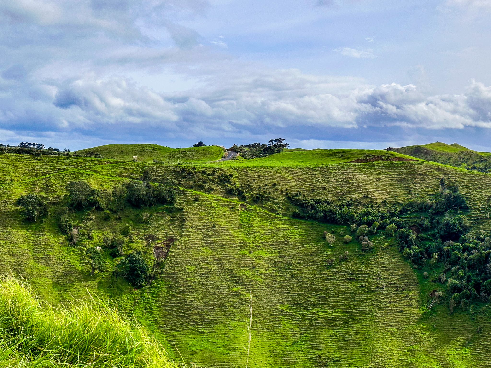
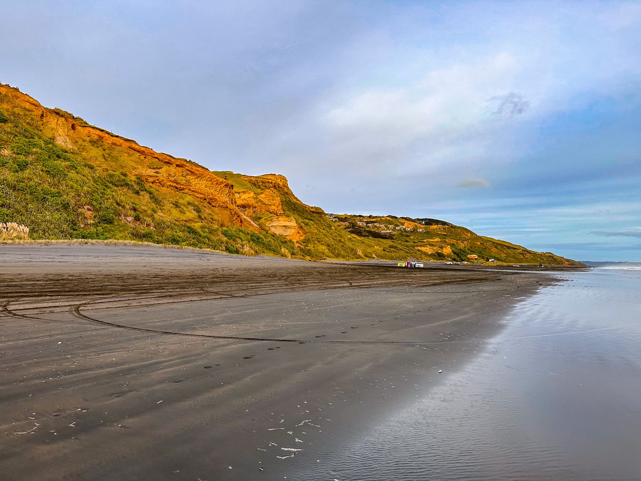
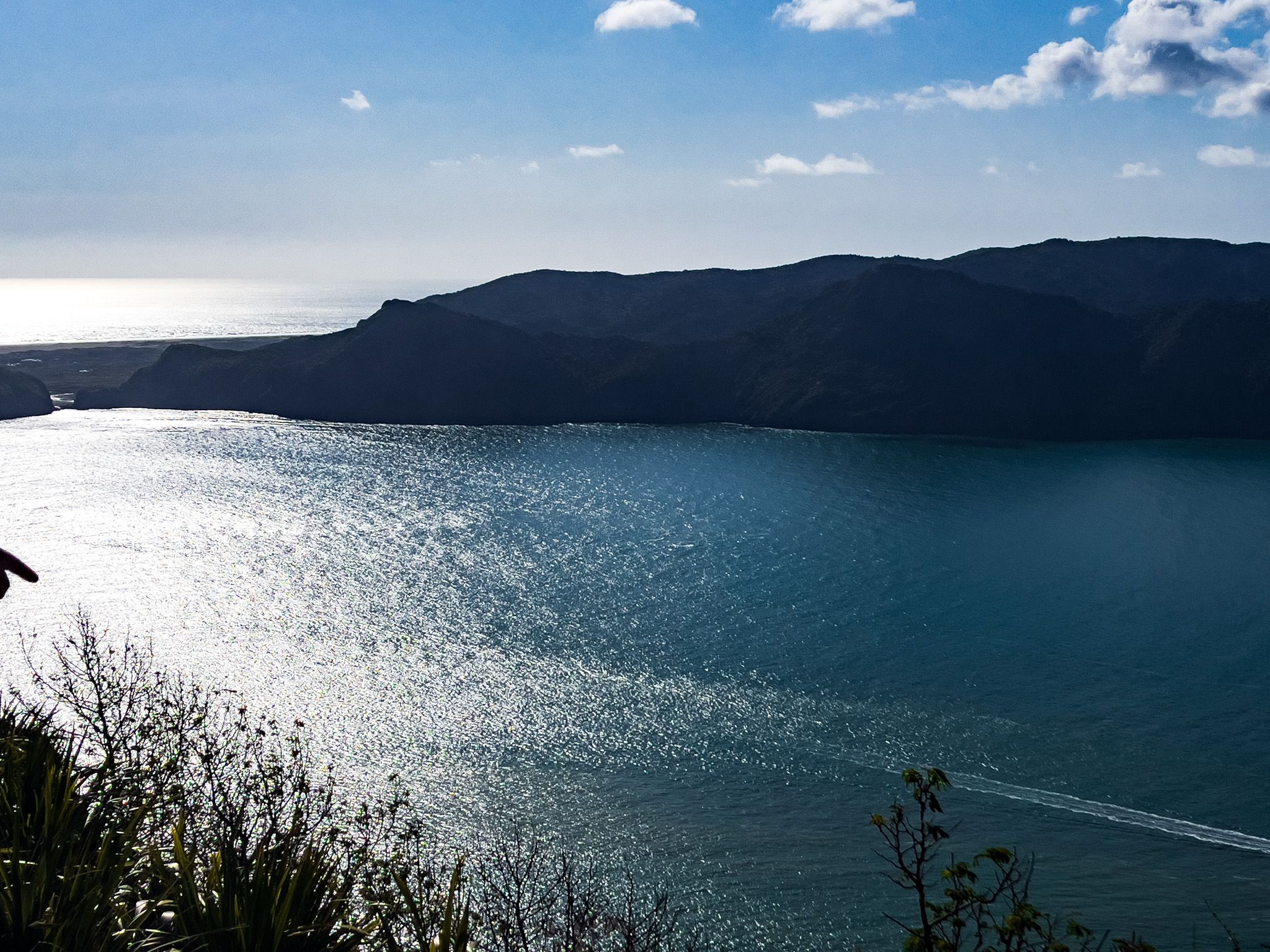
The landscape divides clearly along the spine of the peninsula. The western coast is exposed and dramatic, cut by near-vertical cliffs where the packed sand has been undercut by the sea and backed by grass-covered high dune ridges.
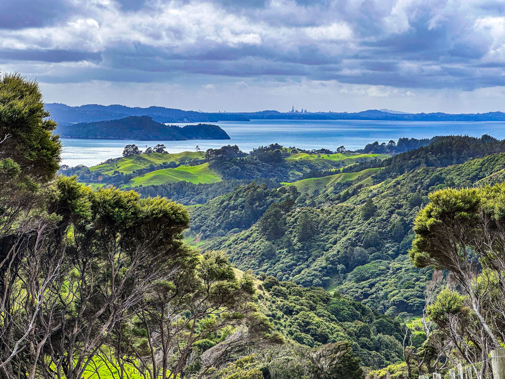
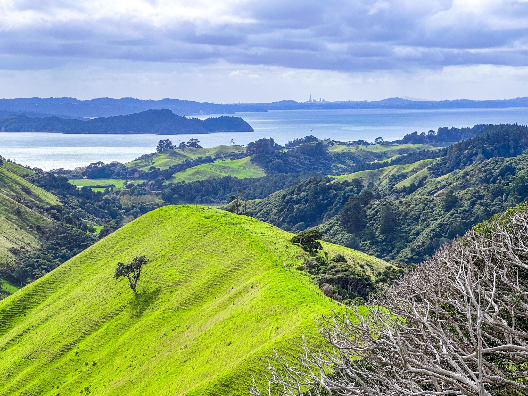
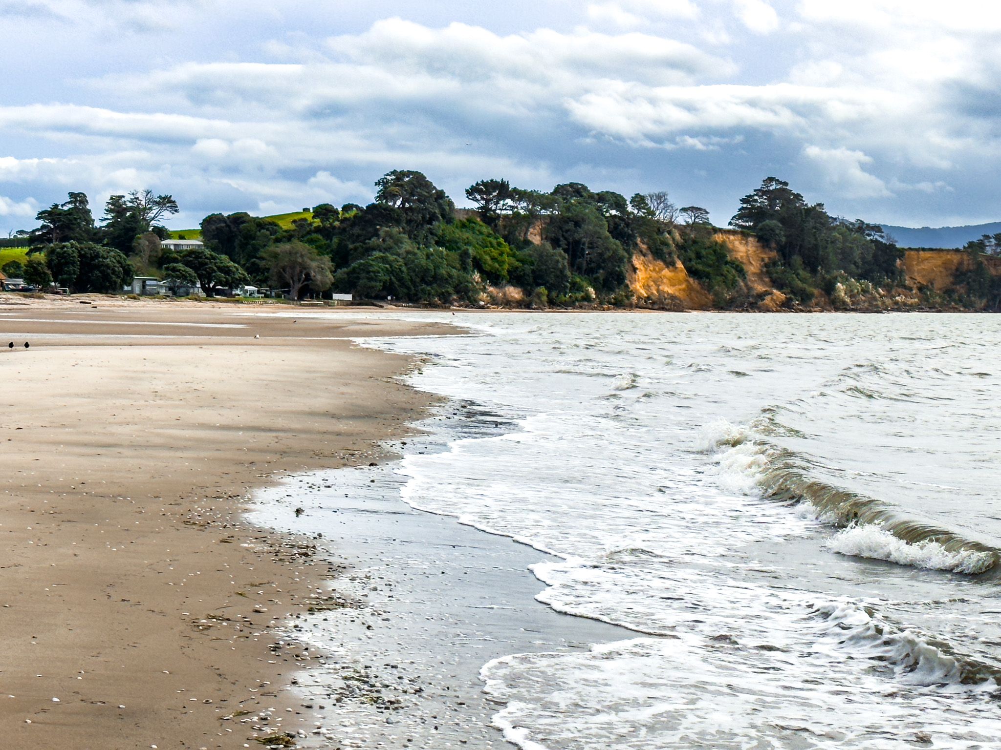
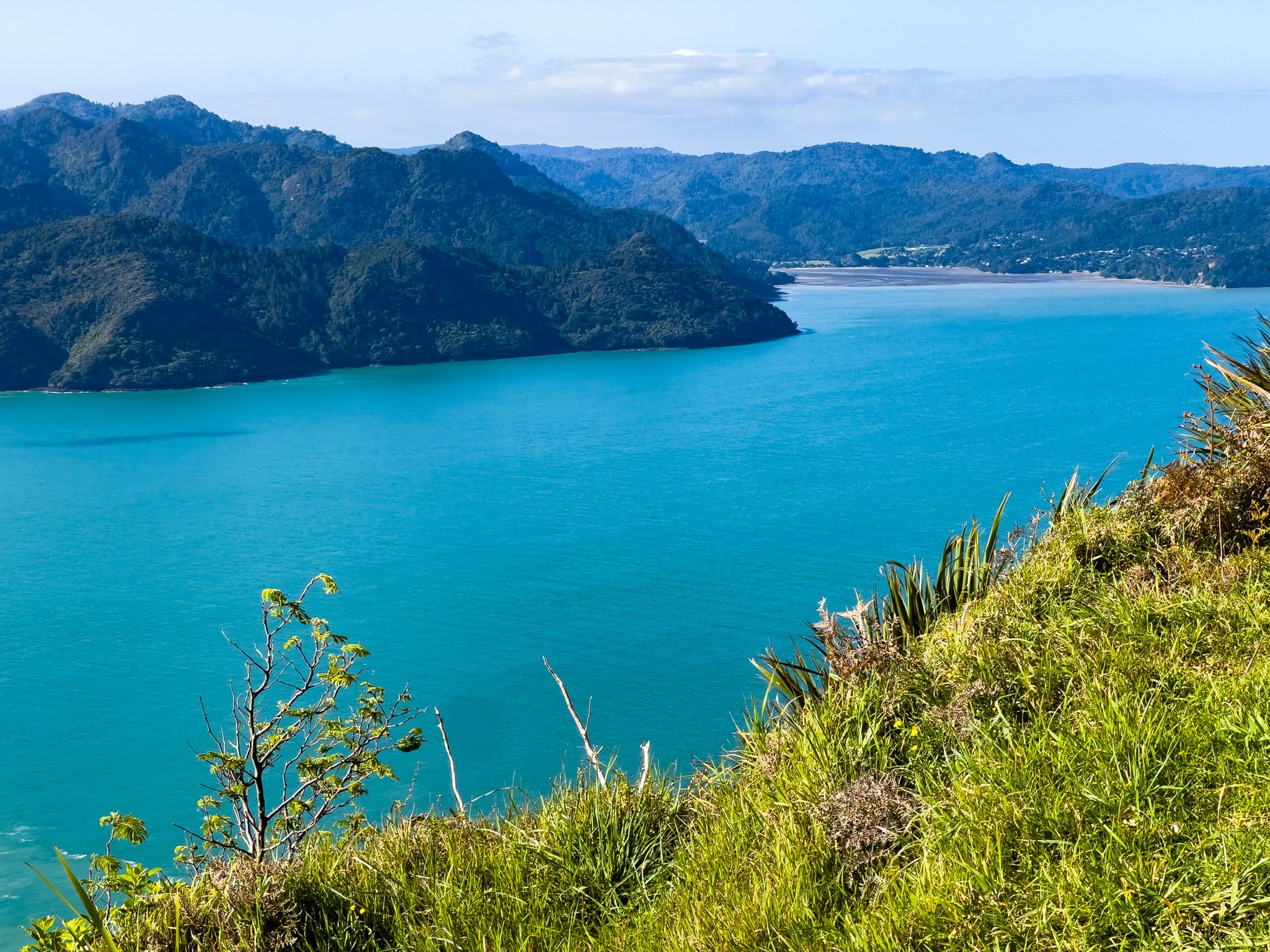
The eastern side, facing the Manukau Harbour, is gentle and tidal, with lower-lying pastoral land, shallow bays, cockle flats, and a sequence of small communities where baches and holiday homes sit next to harbour beaches. The ridge winding the length of the peninsula reaches its highest point at the northern tip, where the Manukau Heads rise to 285 metres above the harbour entrance.
Geology: the Ultimate Sand Dune
The Āwhitu Peninsula is a giant sand dune that has been building for around two million years. The black sand that characterises both the western beaches and the peninsula's substrate began as volcanic material, primarily from eruptions of Mount Taranaki to the south. This iron-rich sediment moves northward and mixes with white quartz sand and pumice carried out from the central North Island volcanic plateau by the Waikato River, at the peninsula's southern end. The sand has accumulated into massive dunes, now mostly covered in grass, that form the peninsula. Find a field on the highest hill near the Heads, dig through the grass, and you will find sand!
As the dunes built up, they progressively enclosed the Manukau Harbour, and the sand continues to move. Paorae on the northwest end of the peninsula was once a large flat dune off the western coast, used by Māori for kūmara cultivation, but it eroded away entirely during the 1700s. The sand there drifted north to form the Manukau Bar at the harbour entrance, the same bar that wrecked HMS Orpheus in 1863 with the loss of 189 lives. The bar continues to shift with every storm.
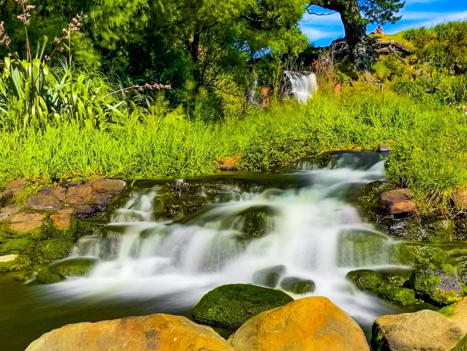
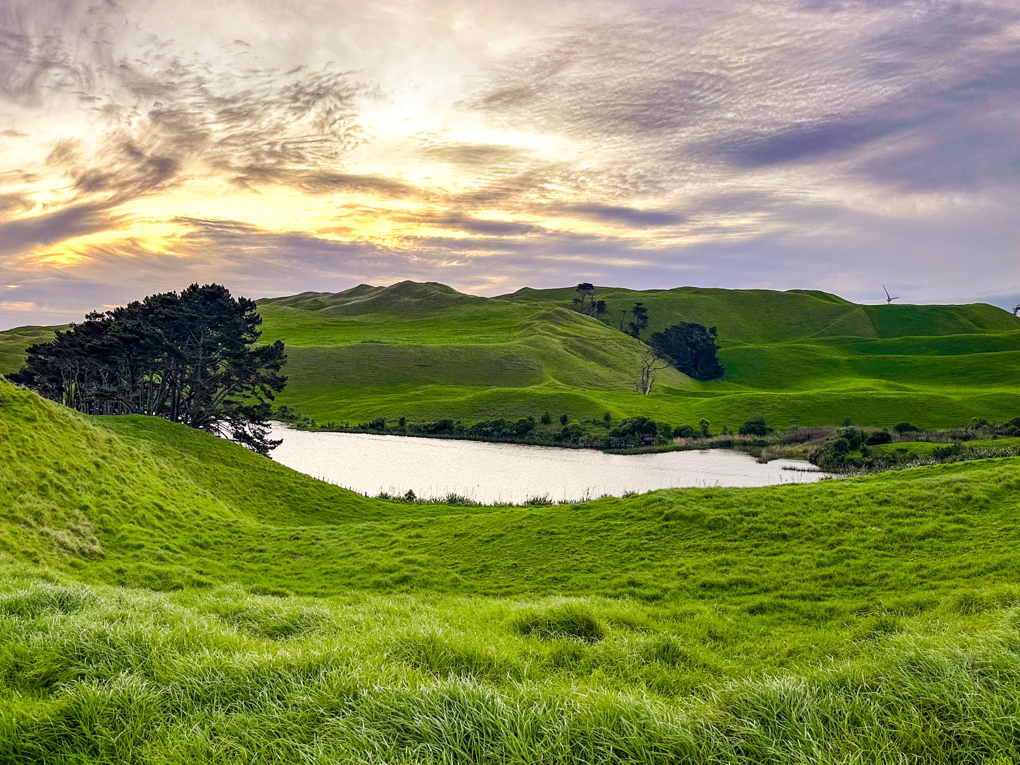
The peninsula's dune landscape also contains a series of freshwater lakes in the hollows between ancient sand ridges along the western side, including Lakes Otamatearoa, Puketi, Rotoiti and Whatihua behind Karioitahi Beach.
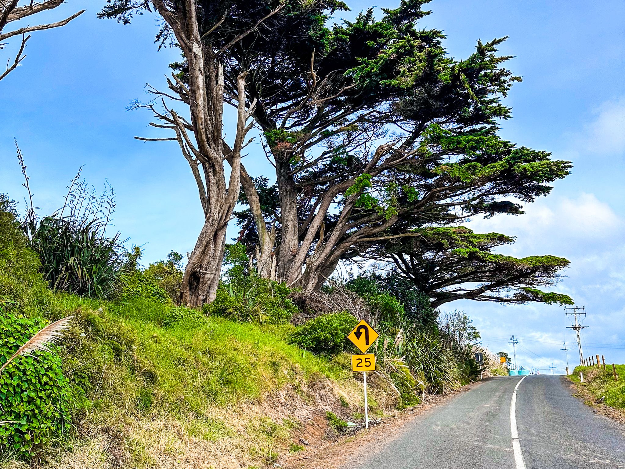
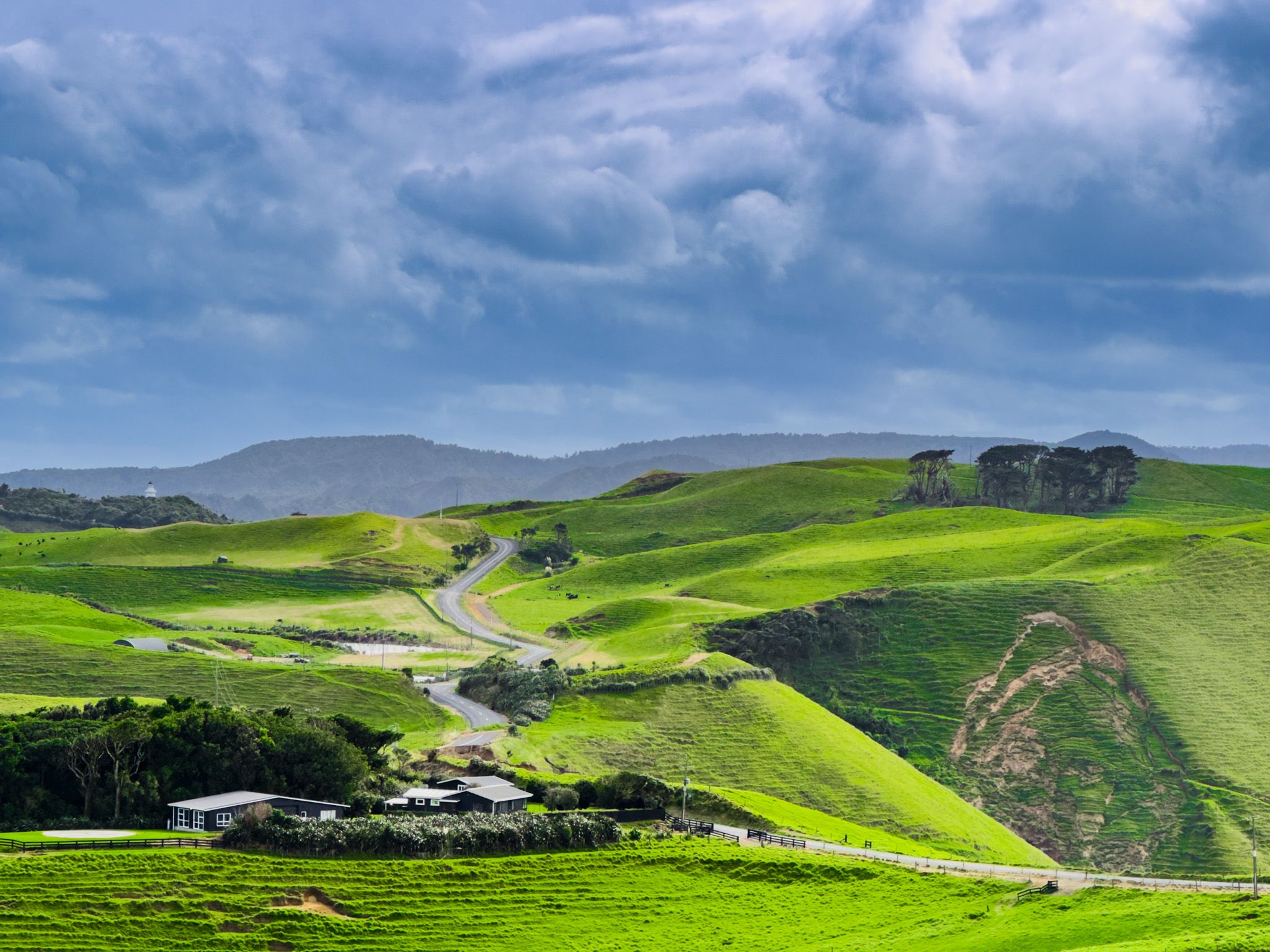
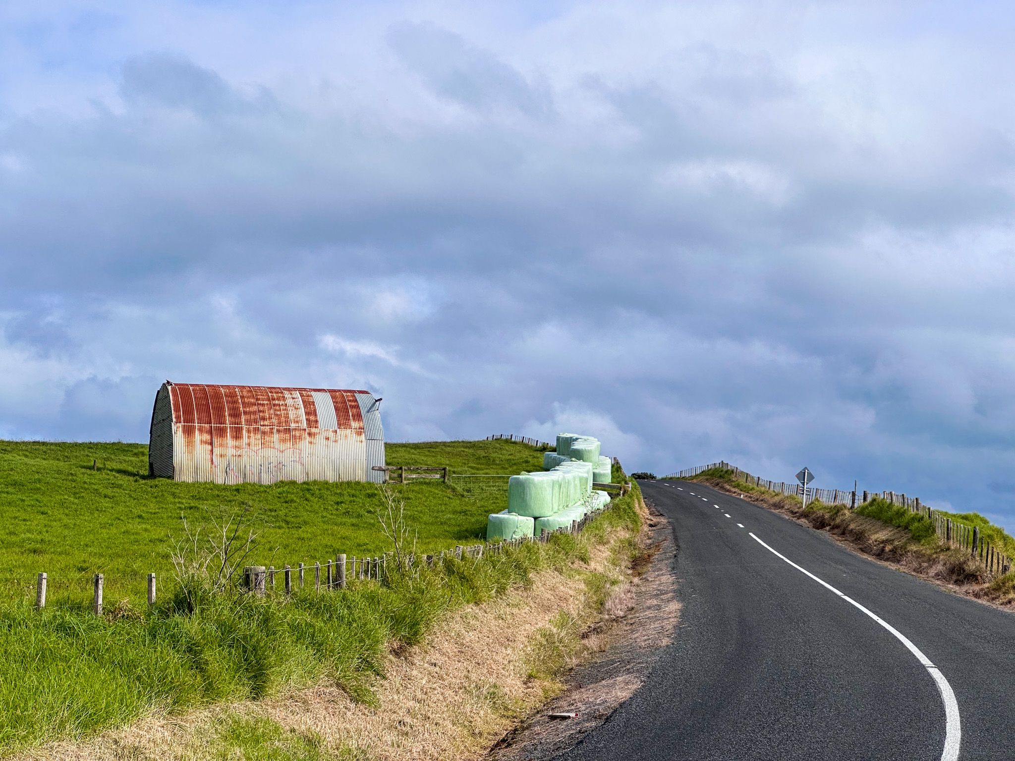
The main ridge forms the peninsula's backbone from end to end. Awhitu Road follows this ridge with fabulous views to the east and west in many places.
The Long Māori Connection
The Āwhitu Peninsula is the ancestral homeland of Ngāti Te Ata and Ngāti Kahukōkā, who have held mana whenua here from long before European contact. Ngāti Te Ata, part of the wider Waiohua confederation, made full use of the peninsula's abundant resources. The harbour's tidal flats provided kaimoana; the wetlands yielded birds and eels. At the time, the forests were also substantial, dominated by pūriri west of the ridge and kauri to the east.
Multiple pā sites remain visible from the road up the peninsula. In one location, there is a viewpoint of now-farmed hilltops, believed to have been the site of the largest concentration of Māori settlement in New Zealand up to the 1700s. The northern shores of the peninsula around the Manukau Heads contain some of the earliest known archaeological sites in the Auckland region.
The name Āwhitu derives from a Māori settlement west of what is now Ōrua Bay and can be translated as "a sense of regret at leaving". It is said to reflect the feelings of Hoturoa, the captain of the Tainui waka during the migration from Hawaiki, expressed as he sailed away from the area. The pouwhenua at the South Manukau Head, near the lighthouse, represent the whakapapa and tribal connections of Ngāti Te Ata and Waiohua to the region.
The Arrival of Europeans
Māori occupation of the peninsula was disrupted by Ngāpui iwi's invasion of the area around 1822 during the Musket Wars, with survivors forced out. In 1834, the Wesleyan missionary William Woon established a mission station at Ōrua Bay, one of the earliest in the Auckland region. In March 1840, Ōrua Bay became one of the locations where the Treaty of Waitangi was signed, with rangatira from Manukau and Waikato gathering at the mission station. Some signed, while several prominent Waikato Tainui rangatira declined.
Land acquisition and timber extraction began almost immediately after early European contact. From 1835, kauri was logged from the peninsula's eastern slopes, with pūriri felled on the western side. By the early 1900s, only around seven per cent of the peninsula's original forest cover remained, a clearance rate as dramatic as anywhere in Auckland. The timber was followed by the kauri gum industry, which, between 1870 and 1900, made the peninsula, alongside Waiuku and Karaka, one of the most productive gum-digging areas in the country. Pastoral farming followed and has remained the dominant land use ever since.
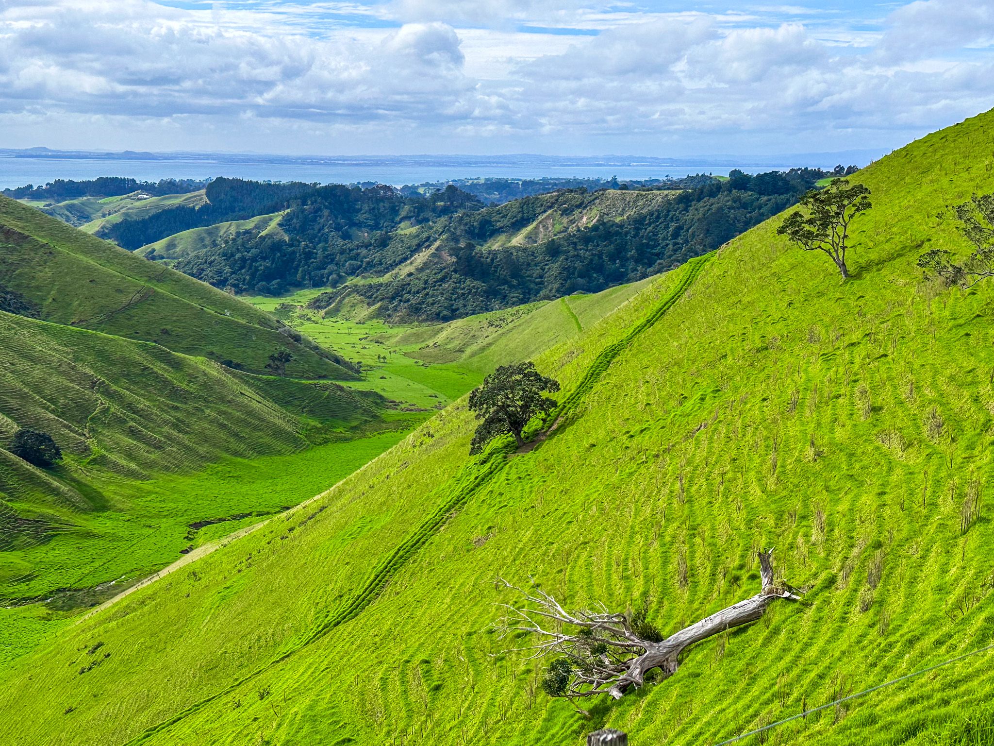
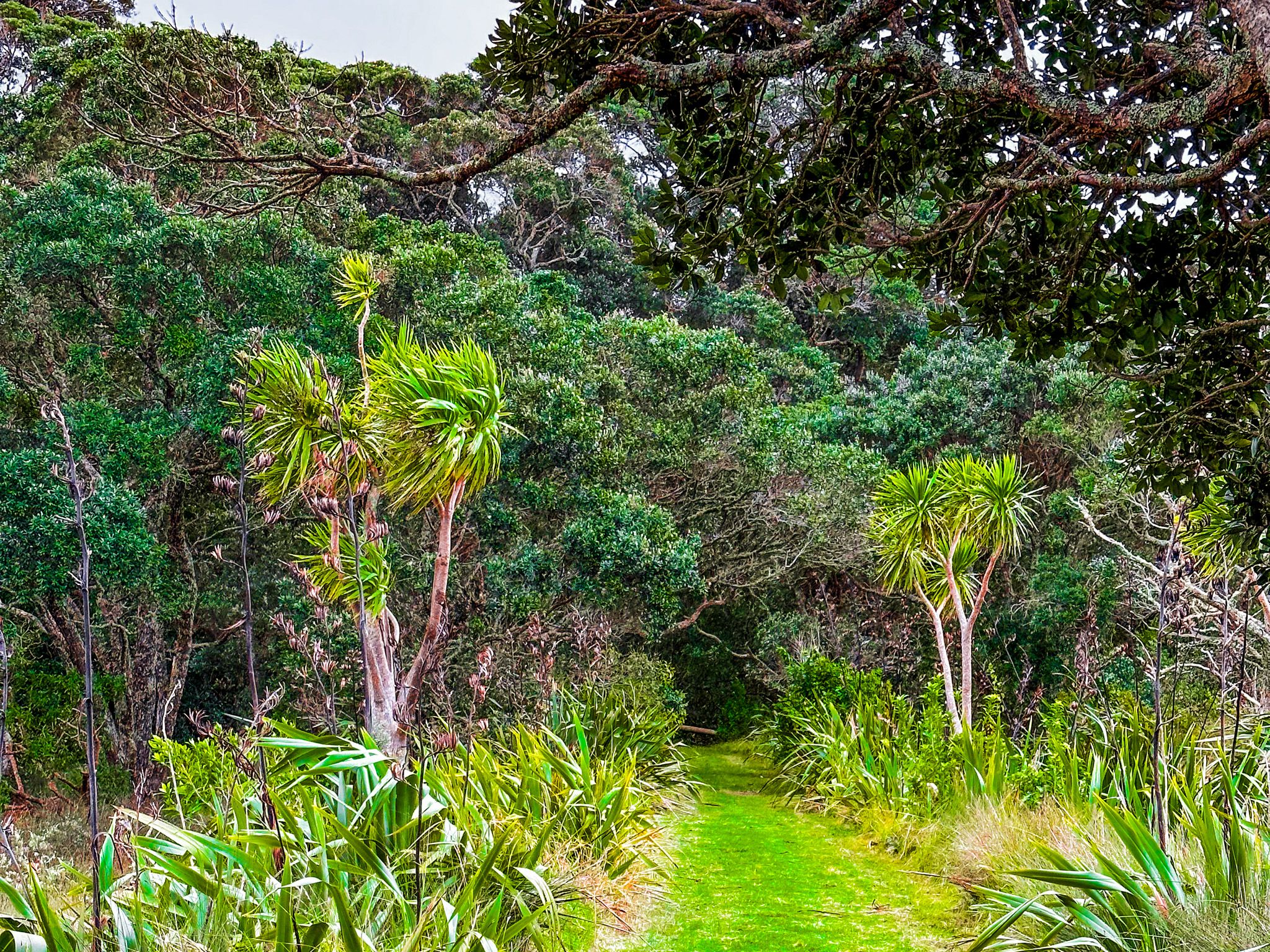
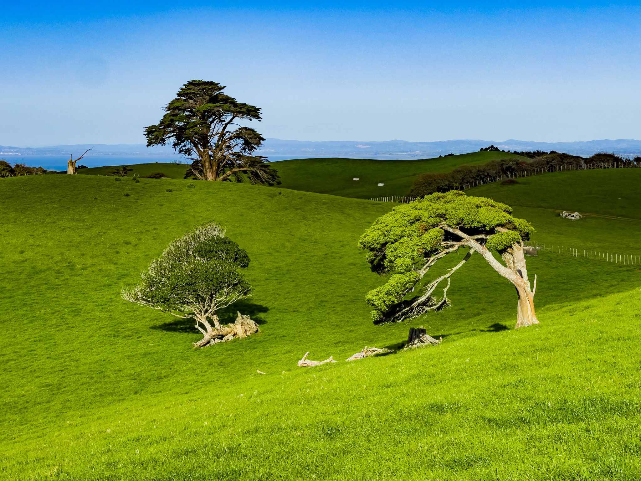
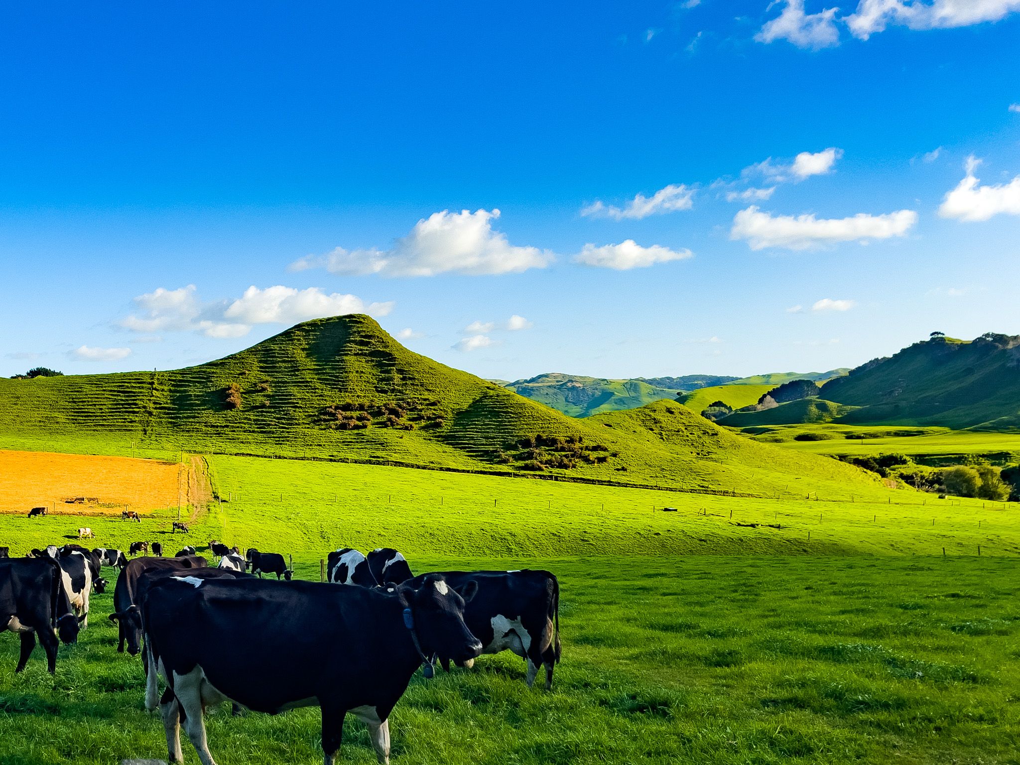
Today, the peninsula is a working rural landscape of dairy, beef, sheep and deer farming, with pockets of regenerating forest in the gullies and some eastern slopes. There is one section on Awhitu Road where you pass through a recovering kauri forest.
Two Coasts, Different Experiences
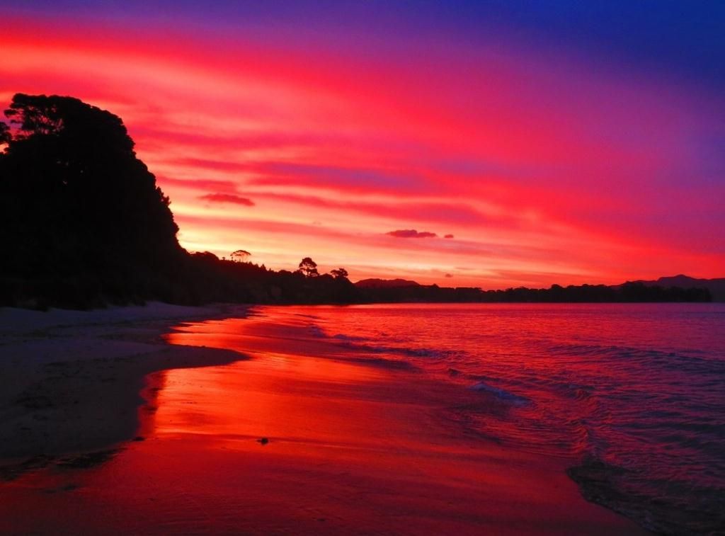
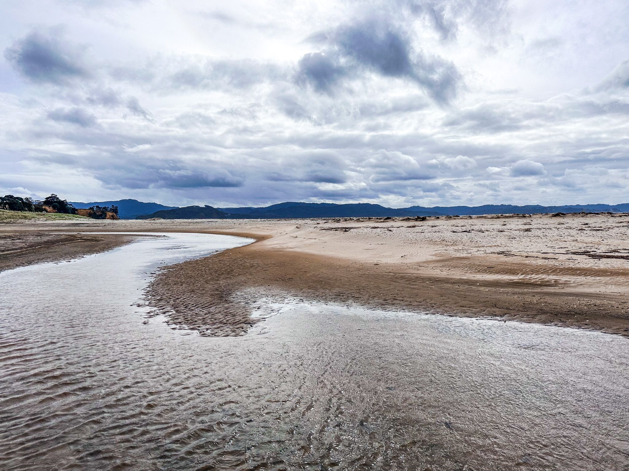
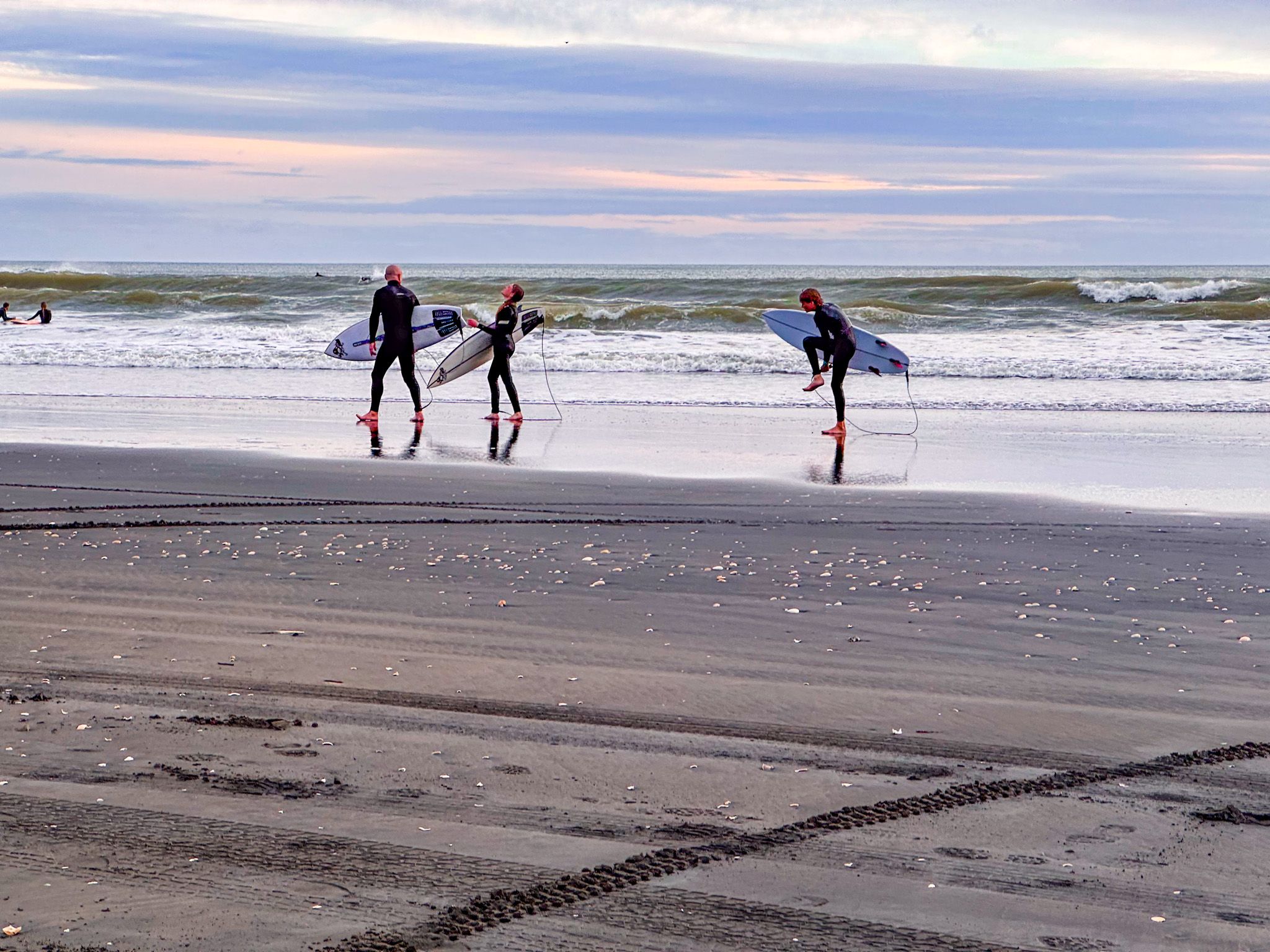
The character of the peninsula shifts markedly depending on which coast you face. The western Tasman coast, which can be accessed from Karioitahi Beach and Hamiltons Gap, is exposed, windswept and elemental. The black iron sand beach stretches for over 40 kilometres without a building in sight, the surf can be powerful even on clear days, and the high cliffs with eroded ramparts create a landscape that is genuinely remote. Surfing, paragliding, horse riding, and exploring the beach by vehicle are all popular pastimes.
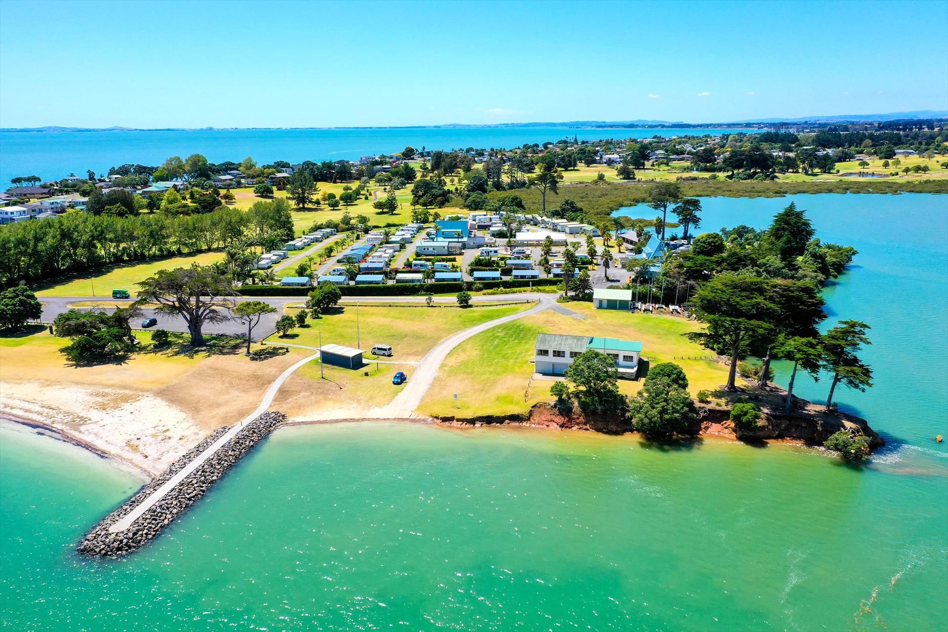
The eastern harbour side is its own world: calm, tidal, sun-warmed in the afternoon. The bays, Wattle Bay, Ōrua Bay, Big Bay and Grahams Beach, some with campgrounds, face north across the Manukau towards the suburbs of Auckland, and on clear days, you can see the skyline of Downtown. The tidal flats exposed at low tide are a feature of these bays. Although swimming is best at high tide, the flats themselves attract wading birds and are worth watching at any time. Boat ramps at several bays give harbour access for fishing, and the bays are loosely connected at low tide by beach walks.
Other Places to Visit
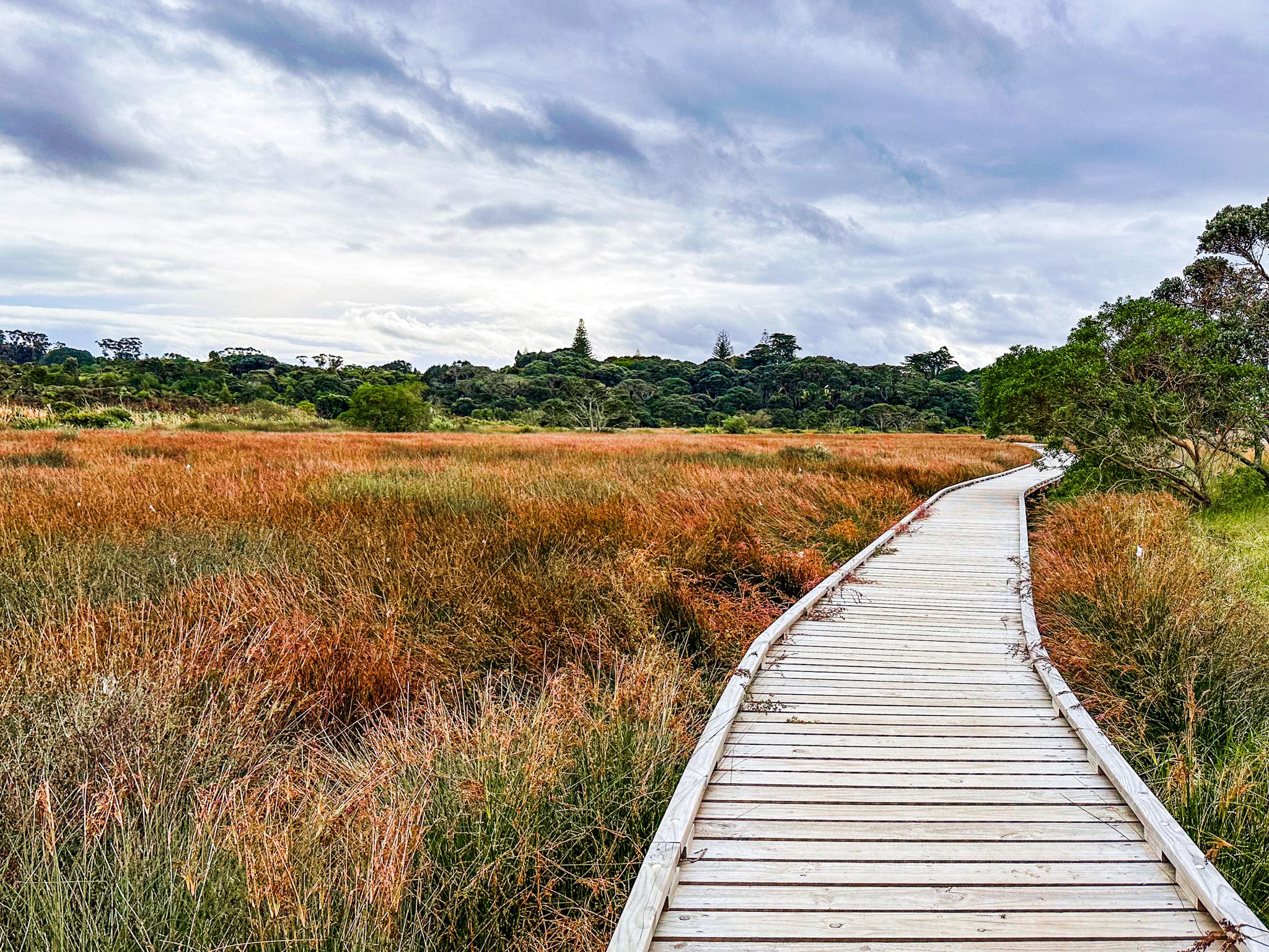
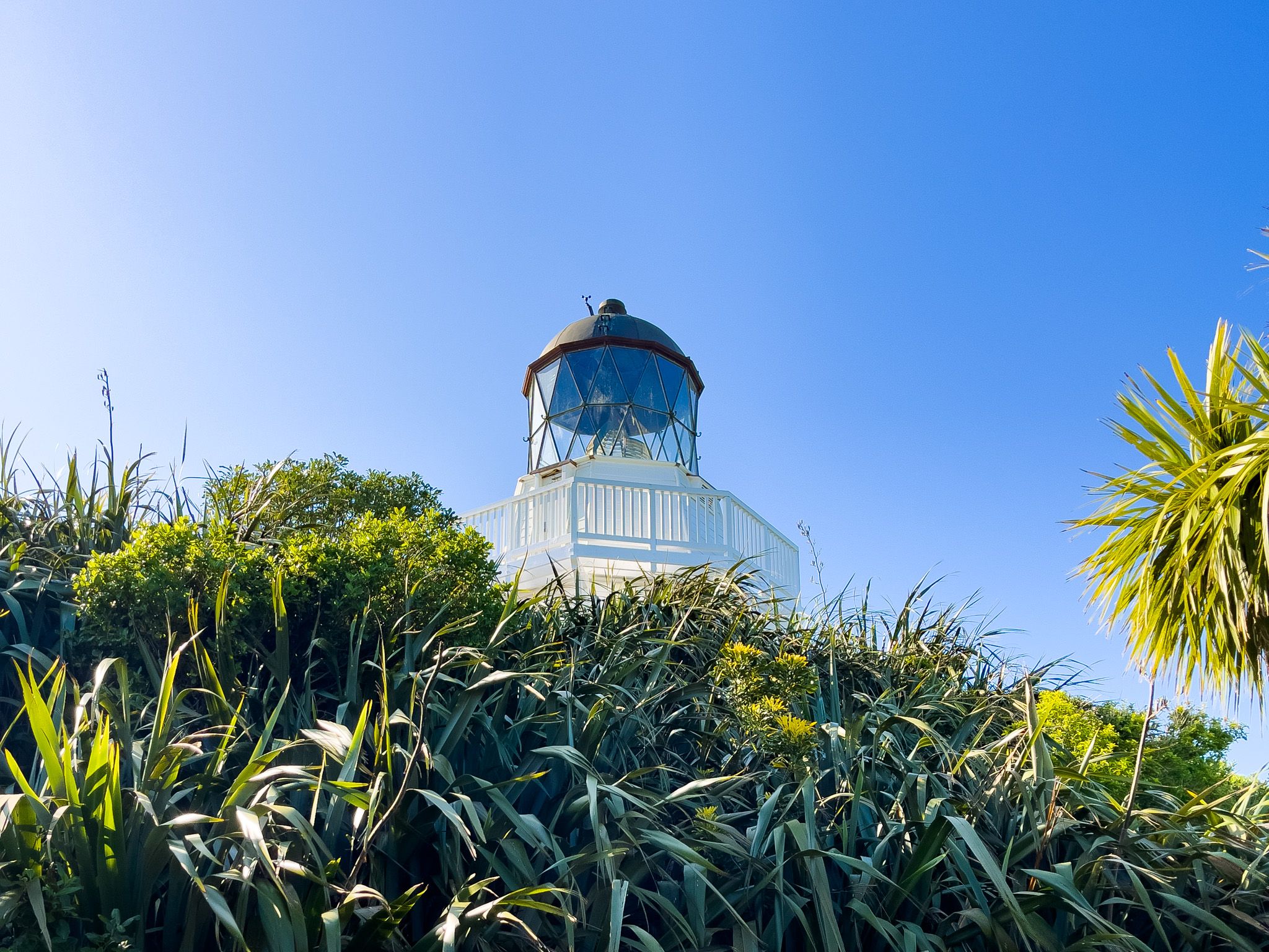
The South Manukau Head and its Lighthouse are the peninsula's signature attraction and the logical destination for a first visit. The lighthouse, rebuilt to its 1874 design, has 360-degree views from its lantern room and tells the story of the HMS Orpheus, one of NZ’s worst maritime disasters. The pouwhenua walk north of the car park adds a further dimension. Āwhitu Regional Park, a short drive to the south, provides the peninsula's best walking, with wetland birdlife, two sheltered harbour beaches and the well-preserved Brook Homestead, with campsites.
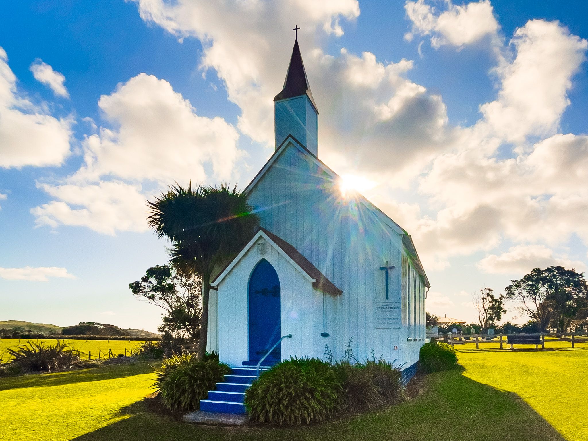
Āwhitu Central includes the Kohekohe Church, a small white Presbyterian in an incredibly photogenic green hilltop setting, especially at golden hour. The church, cemetery, war memorial and old schoolhouse together form a rare intact example of a nineteenth-century rural community precinct.
Wildlife and Conservation
The peninsula retains significant ecological value despite its transformation from forest to farmland. Its wetlands, particularly those within and around Āwhitu Regional Park, have the largest population of fernbirds (kōtātā) on the Manukau Harbour, alongside banded rail, spotless crake, bittern and a range of wading birds. The Manukau Harbour's tidal flats are internationally significant for migratory shorebirds, including bar-tailed godwits, which arrive from Alaska each summer. The dunes at Hamiltons Gap and Karioitahi Beach provide nesting habitat for New Zealand dotterel (tūturiwhatu) in spring.
The peninsula also has an unusually high diversity of native land snails. In patches of remnant bush, communities of more than 70 native snail species have been recorded within a single four-hectare area, a density considered remarkable anywhere in the world. The Āwhitu Landcare group, a volunteer community organisation active since 1994, has planted more than 150,000 native trees across the peninsula's 22,000 hectares and carried out sustained pest control, making it one of the most active rural conservation groups in the Auckland region.
How to Get There
The gateway to the Āwhitu Peninsula is Waiuku, a historic town at the peninsula's southern end. From Downtown Auckland, take the southern motorway to the Drury offramp, then follow State Highway 22 to Waiuku. The drive takes one hour and is 64 km. From Waiuku, Awhitu Road runs north, winding along the spine of the peninsula. The drive from Waiuku to the Manukau Heads Lighthouse at the northern tip takes around 40 minutes.
Services on the peninsula are minimal, and the only petrol station is at Matakawau, roughly midway along. Bring food and water, and allow a full day if you want to take in both coasts and several stops. The western coast can be reached by side roads off Awhitu Road. The harbour bays are similarly accessible by short detours to the east.
Nearby places to visit in the wider area include Waiuku itself, with the Kentish Hotel, built in 1851 and widely regarded as the oldest continuously licensed hotel in New Zealand, and the Glenbrook Vintage Railway, which runs steam train trips to Waiuku on weekends.