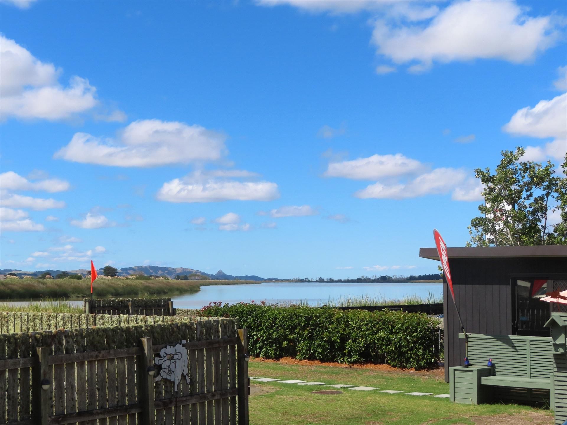
Discovering Omamari on the Kauri Coast
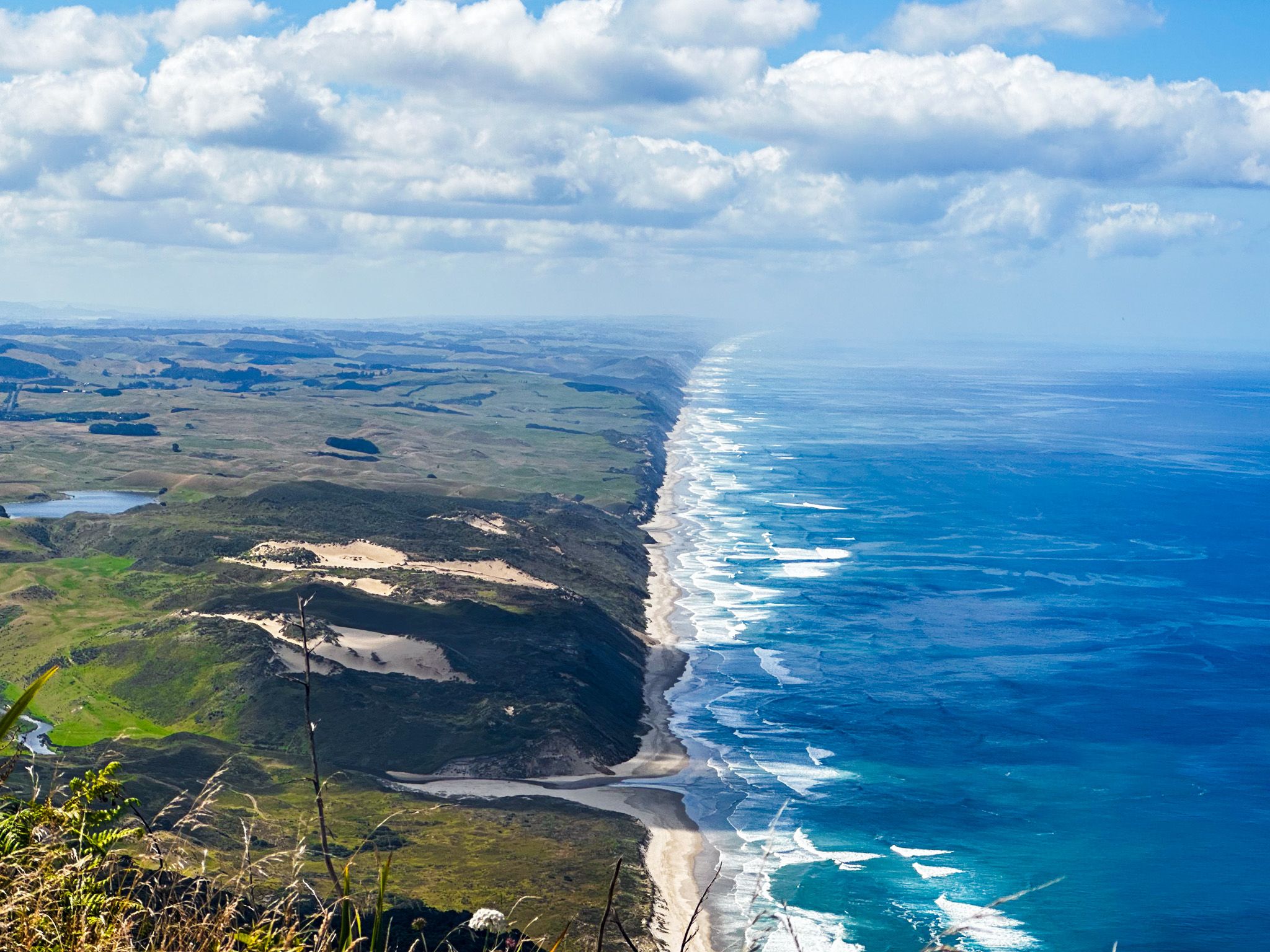
Omamari is a small, often overlooked hamlet located between Baylys Beach and Aranga Beach on the Kauri Coast of Northland. This hidden gem is nestled between dunes and cliffs along the 120 km-long Ripiro Beach. A stream crossing is required to reach the beach; it is easily navigable on foot and manageable with a high-clearance 4WD, but may be challenging for 2WD vehicles.
Exploring the Beach and Surroundings
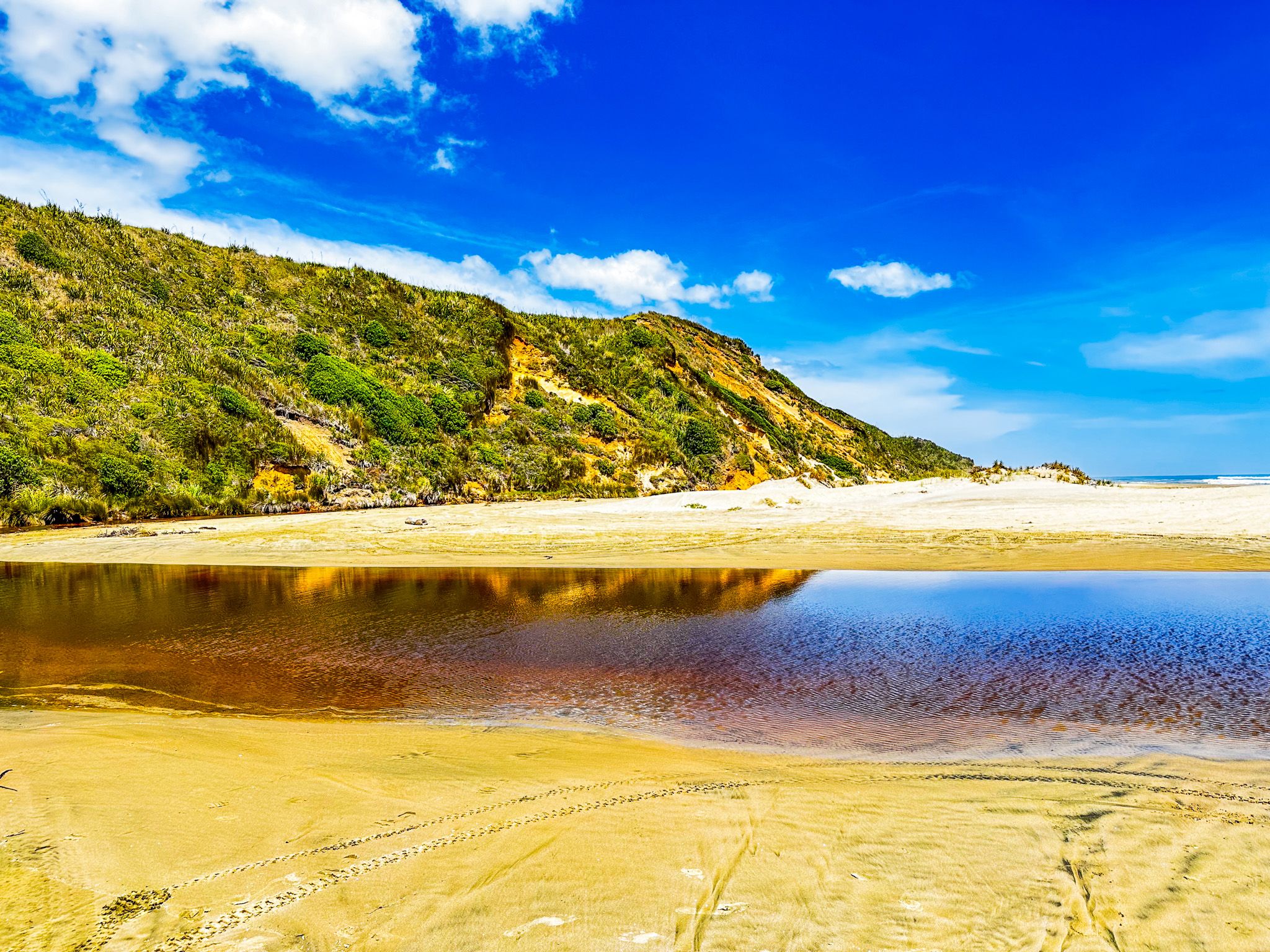
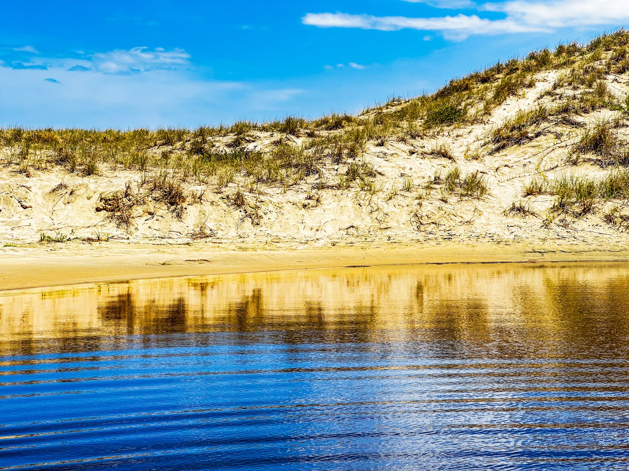
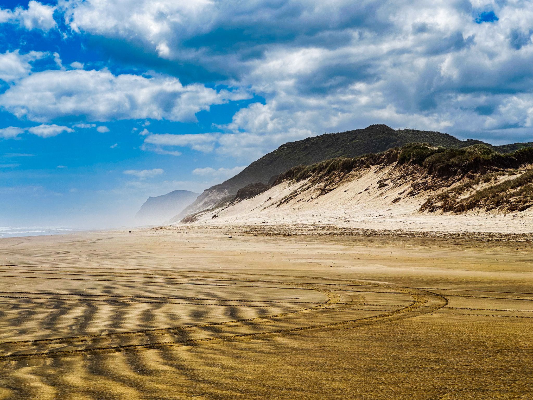
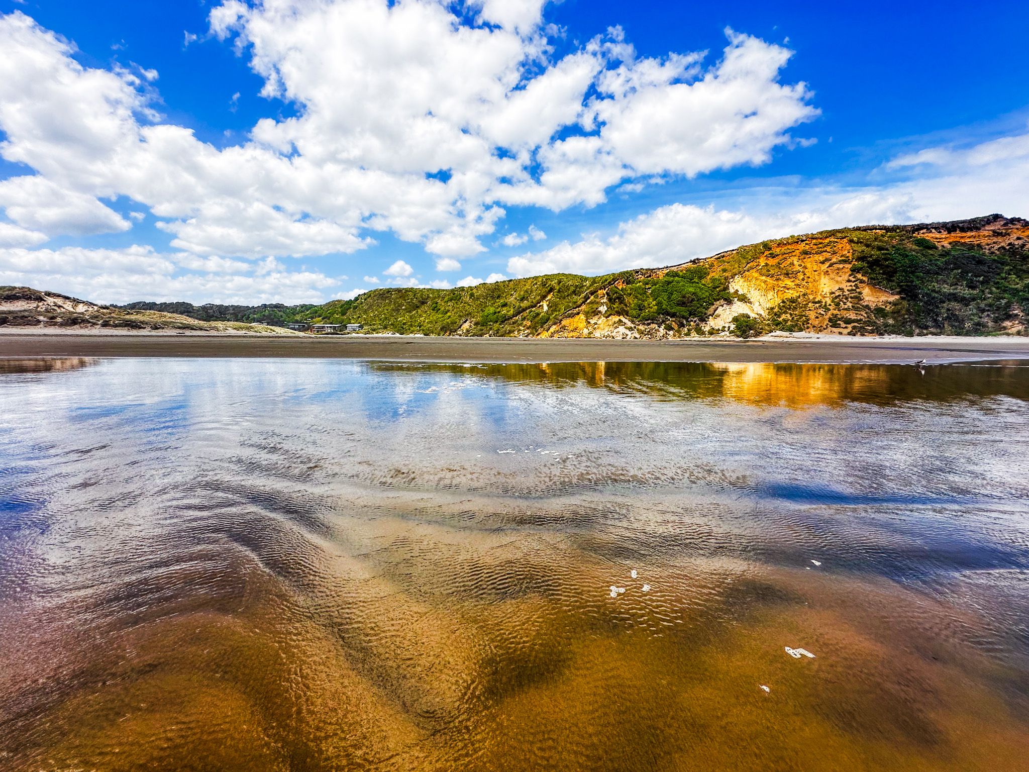
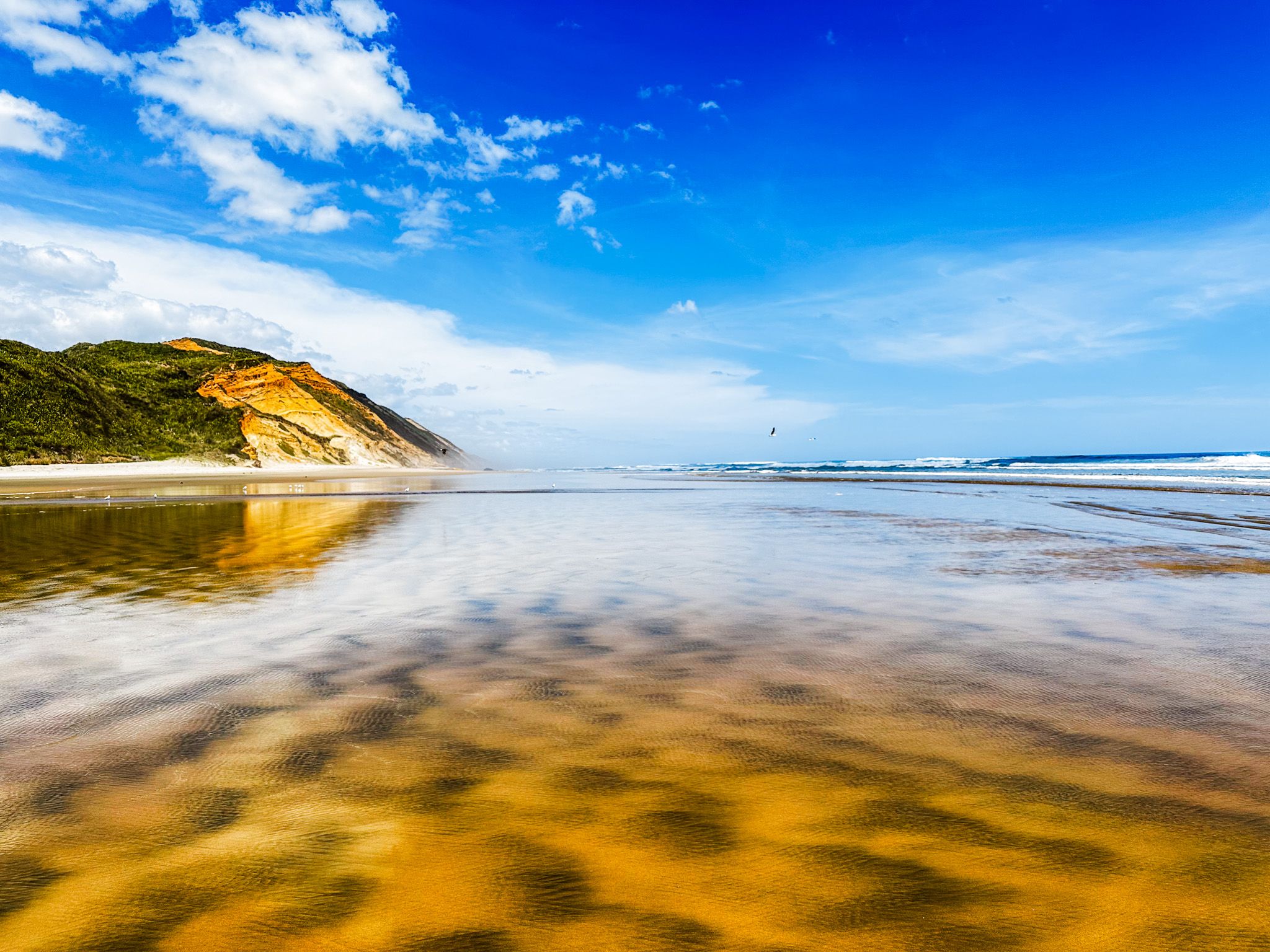
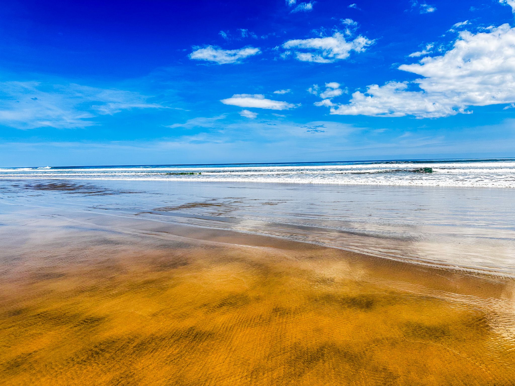
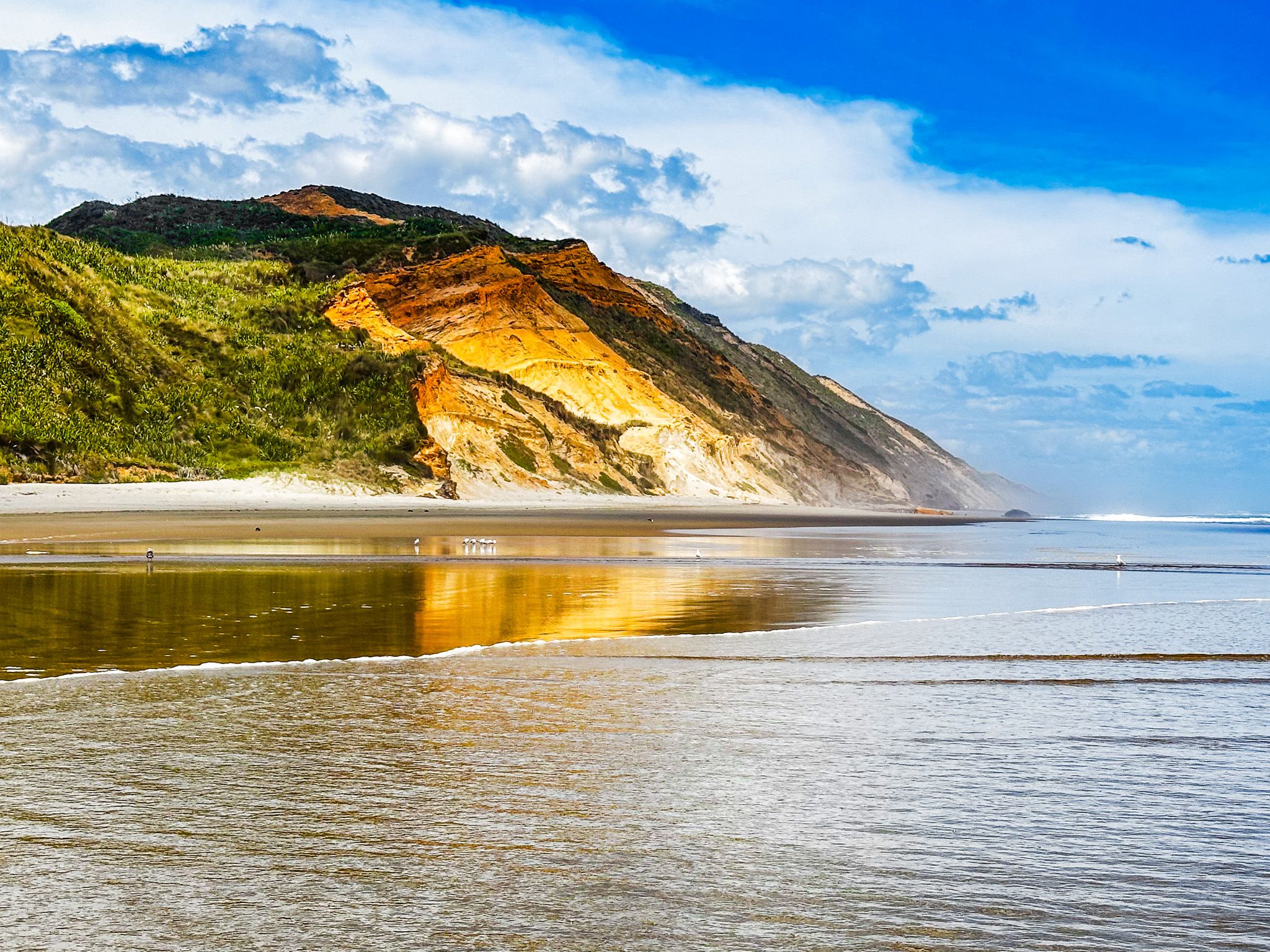
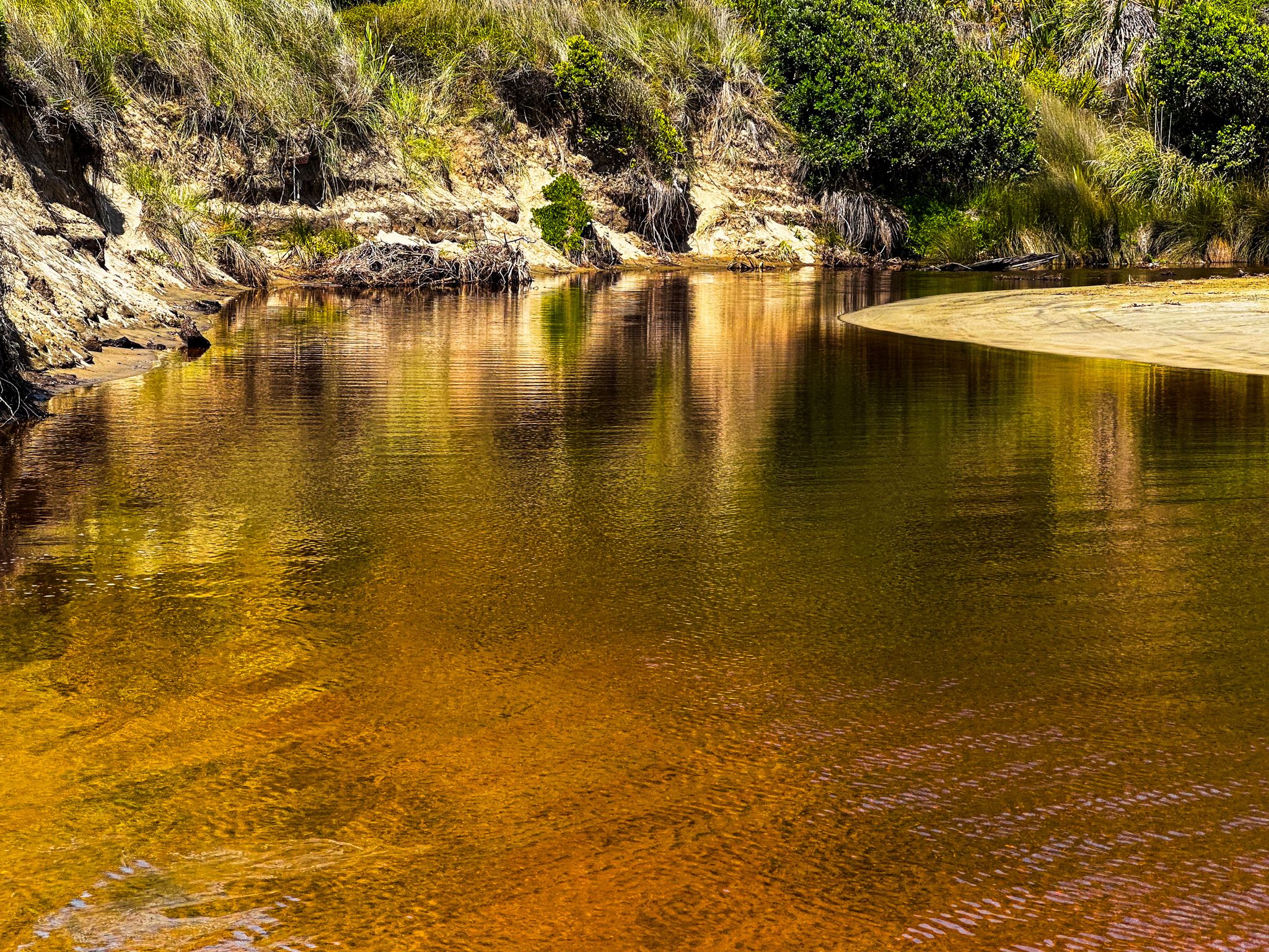
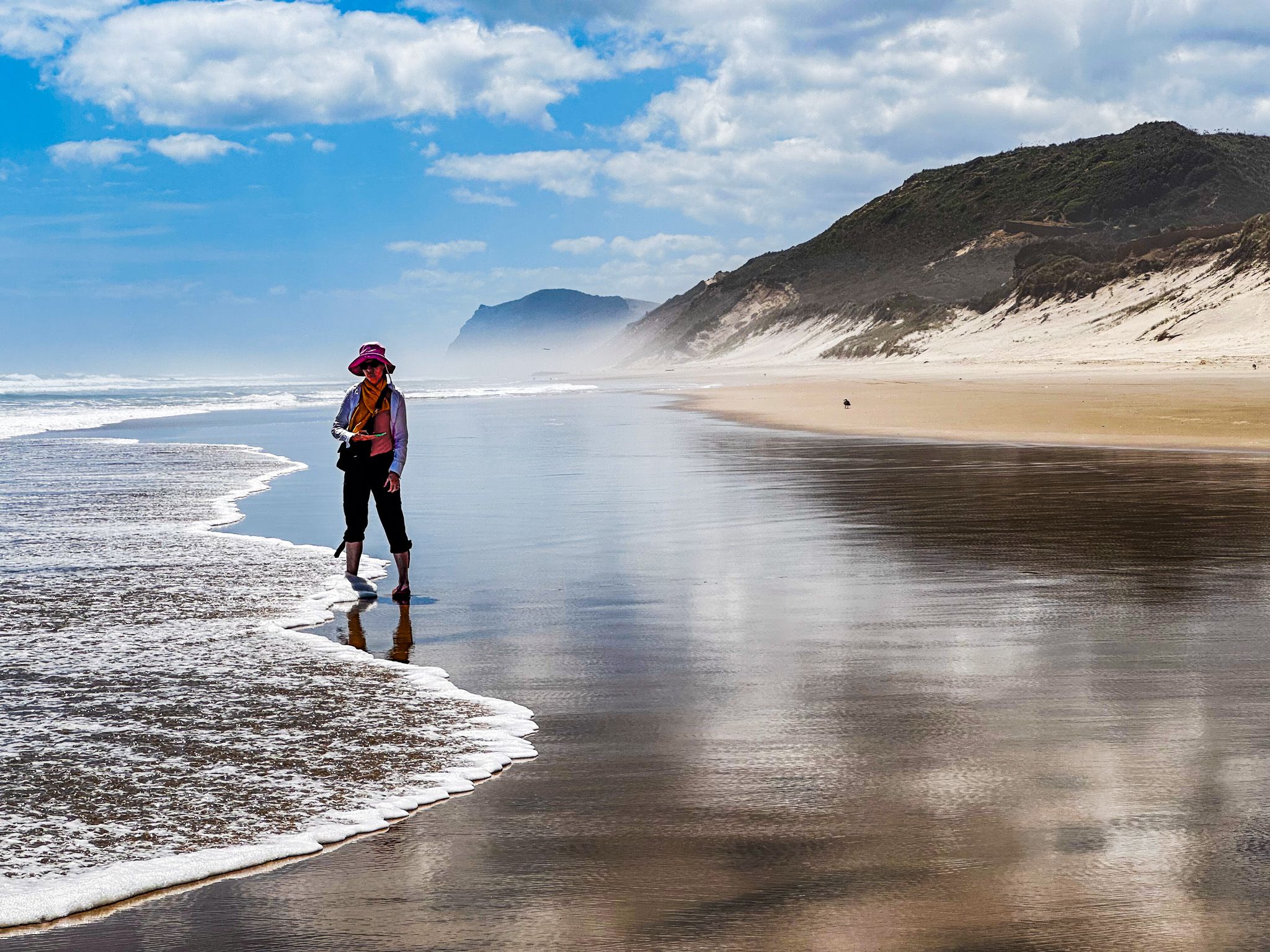
The beach at Omamari is a striking sight, with its surrounding dunes and orange-hued cliffs. Like other sections of Ripiro Beach, the tide recedes significantly, revealing expansive stretches of golden sand interspersed with black patterns. The surf wash can be highly reflective, making for spectacular photos of the surrounding cliffs.
Swimming at this surf beach is not considered safe, and there is no surf patrol. If you must enter the water, it is best to do so on an incoming tide. If you have a vehicle able to cross the stream, you can drive along the beach north to Aranga Beach or south towards Baylys Beach and Glinks Gully.
How to Get There
To reach Omamari from State Highway 12, follow Omamari Road, passing the turn-off to Kai Iwi Lakes. Continue for 5 km on a metal road. At the end of the road, there is a reserve that allows freedom camping. If you are travelling with a large camper van, exercise caution, as some areas of the reserve have soft sand. From Daragaville, Omamari is a 32-minute, 35 km drive on SH12.
Other places to visit along the Kauri Coast include Maungahui Bluff, Trounson Kauri Park, and Te Matua Ngahere and Tane Mahuta in Waipoua Forest.