Discovering Ripiro Beach
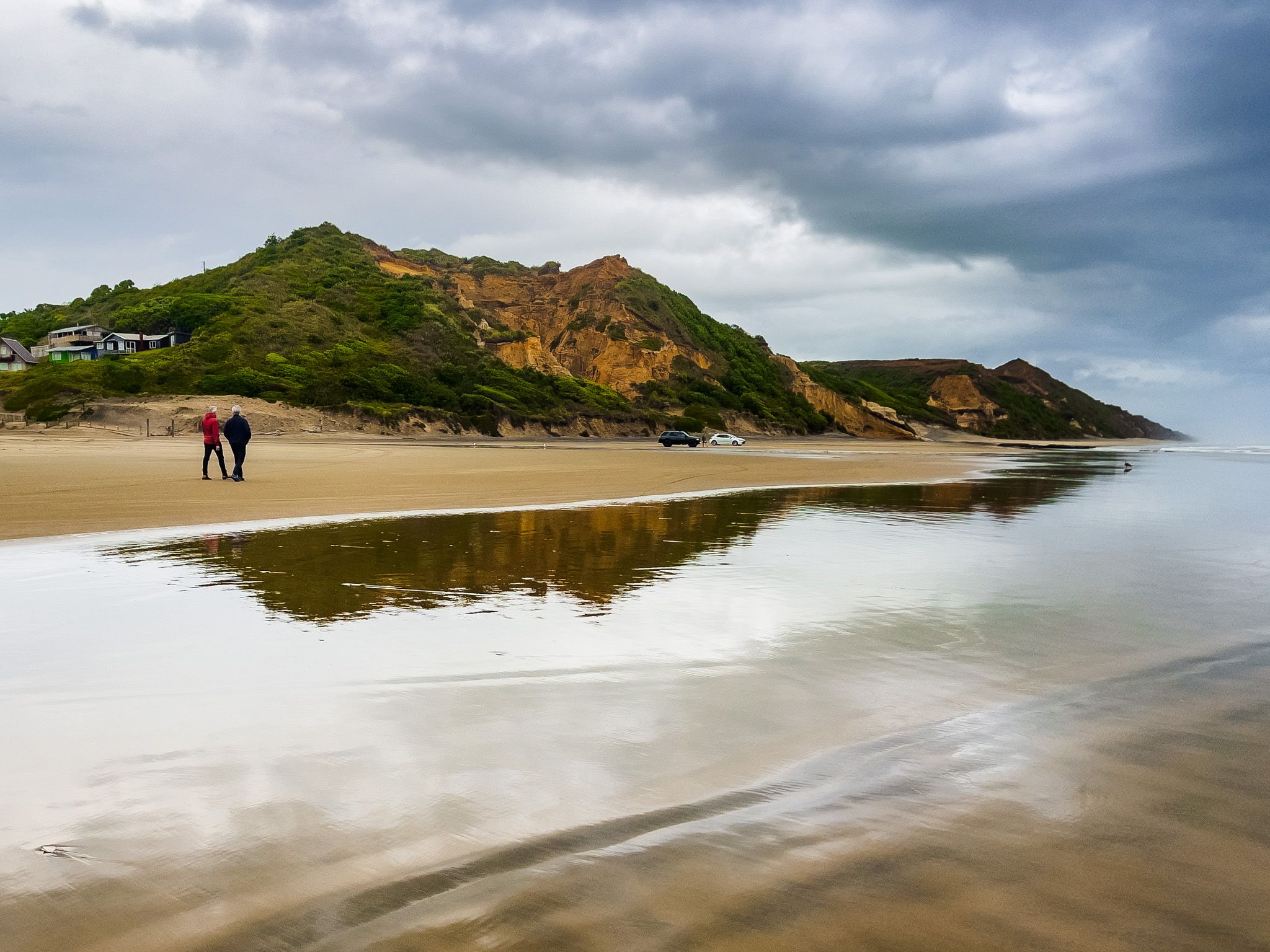
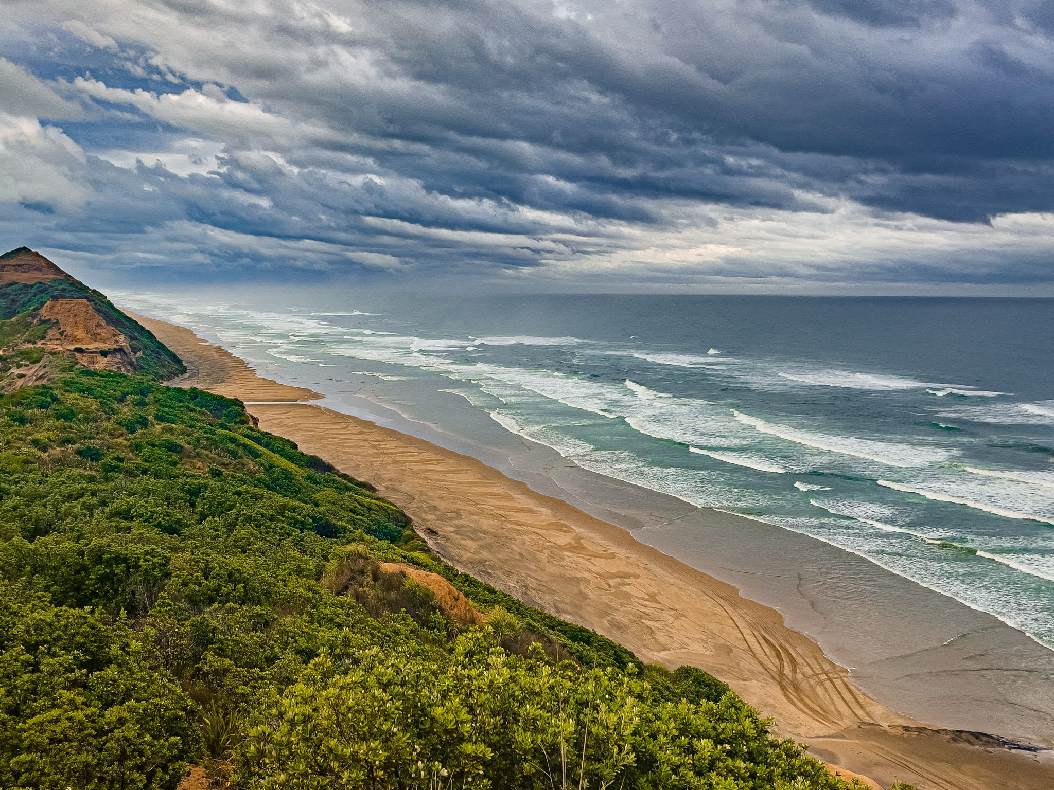
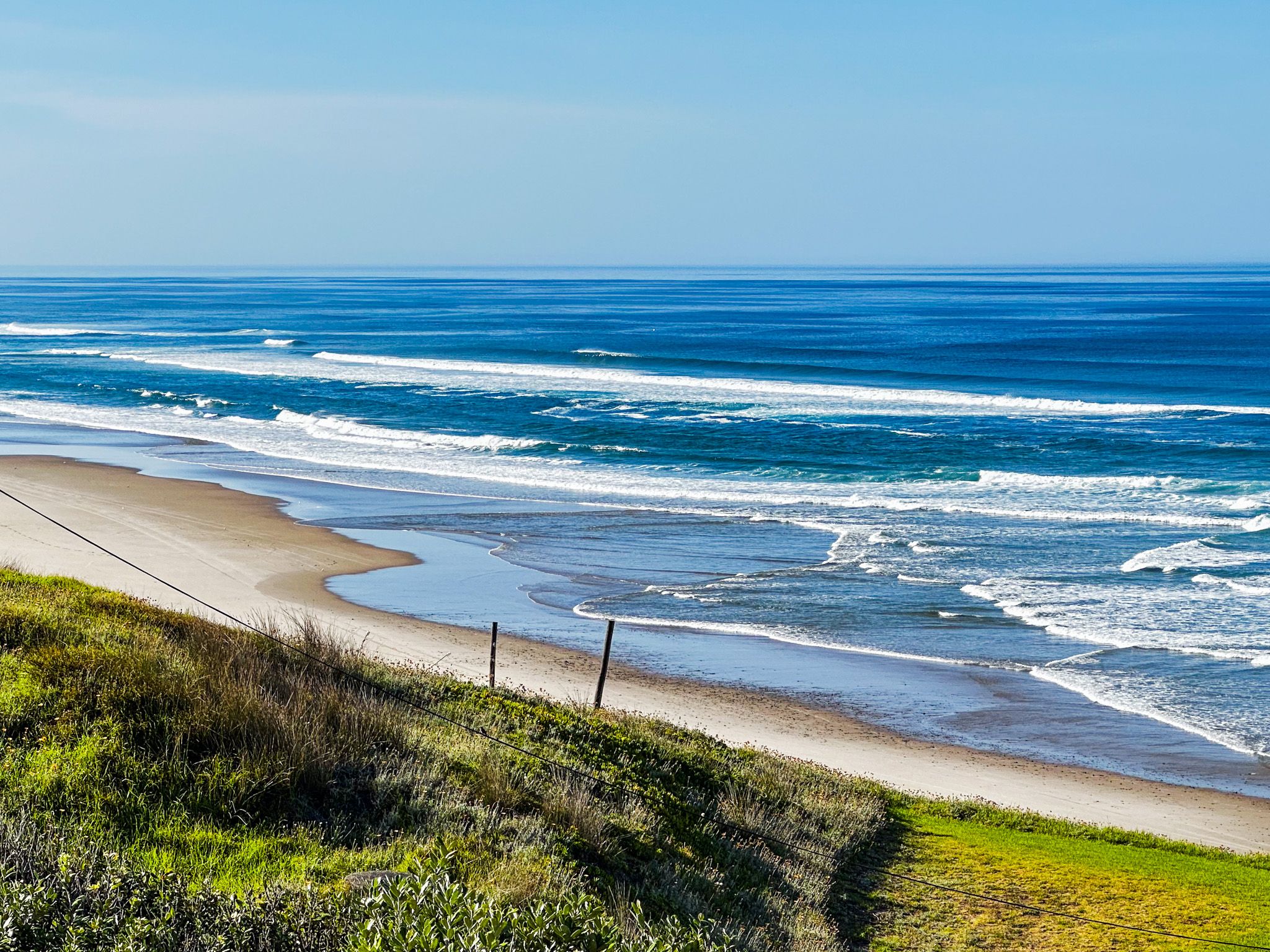
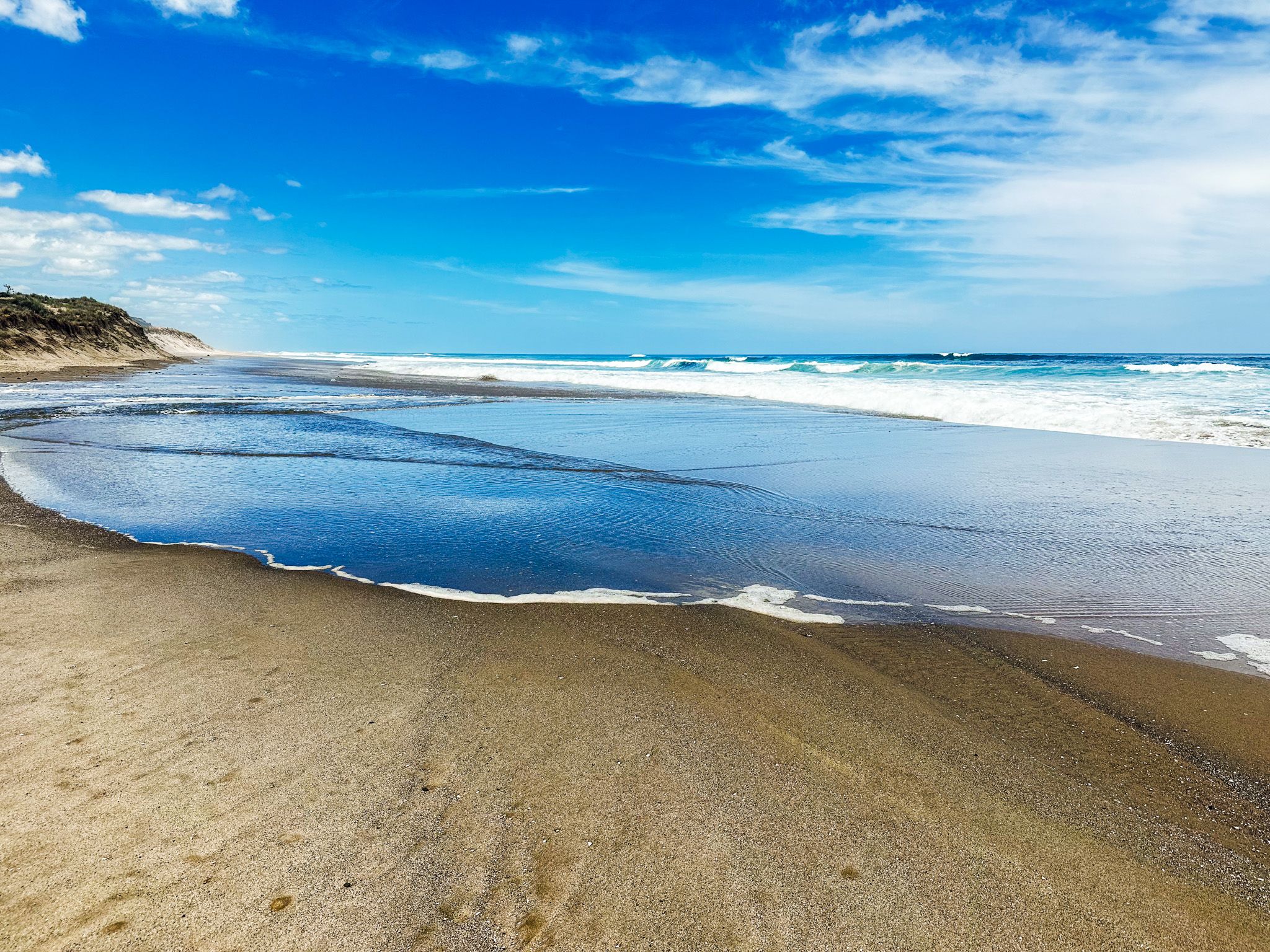
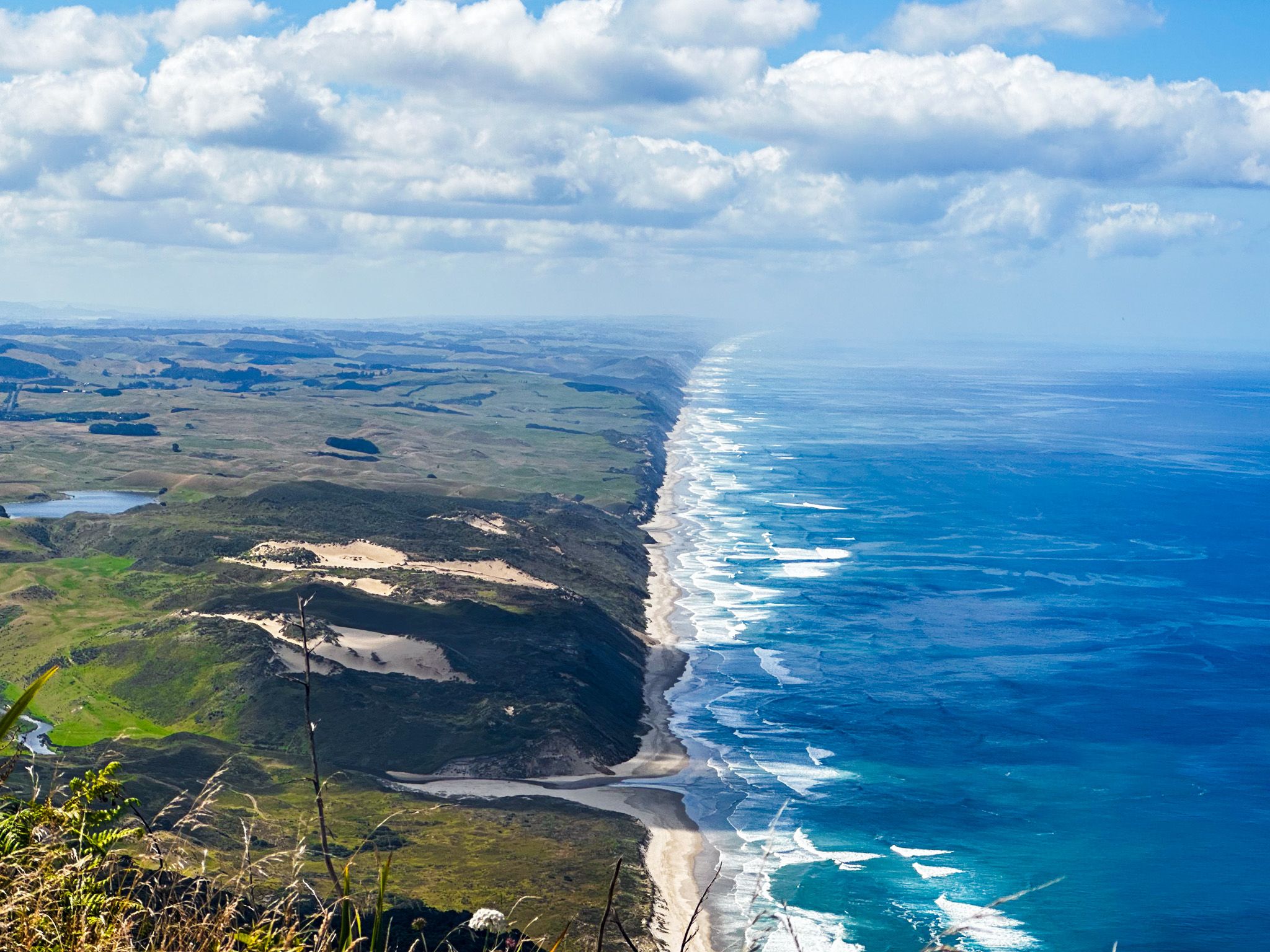
Ripiro Beach, stretching 107 km along the west coast of Northland, is a remarkable surf beach facing the Tasman Sea. It is a key feature of the Kauri Coast, second only to the region's kauri forests. Extending from Pouto Peninsula in the south to Maunganui Bluff in the north, Ripiro Beach is the longest drivable beach in New Zealand, surpassing the famous Ninety Mile Beach.
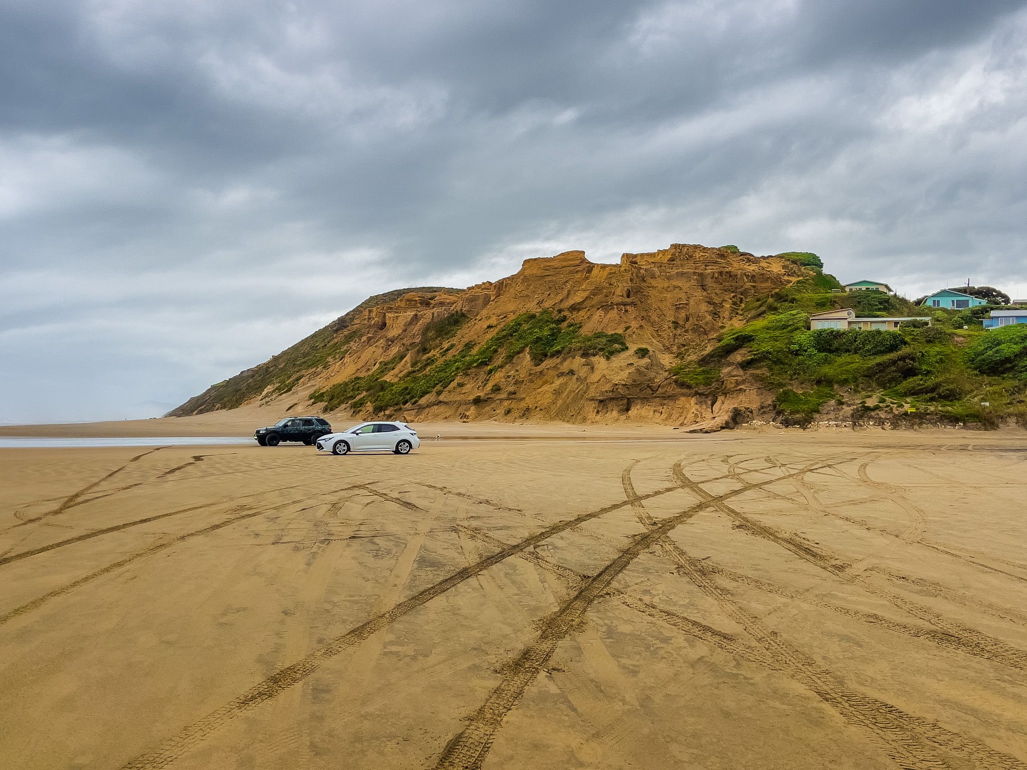
If you want to drive along the beach, it is advisable to do so within four hours of low tide. For other users, keep in mind that the beach also serves as a road.
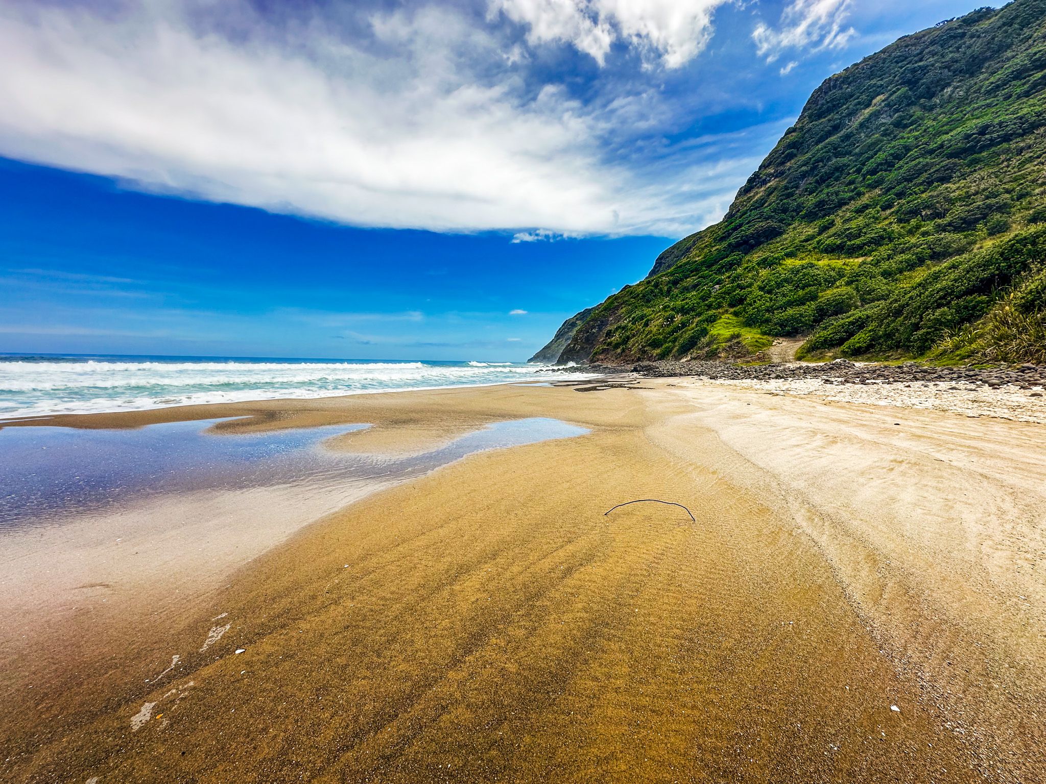
Coastal Features and Access Points
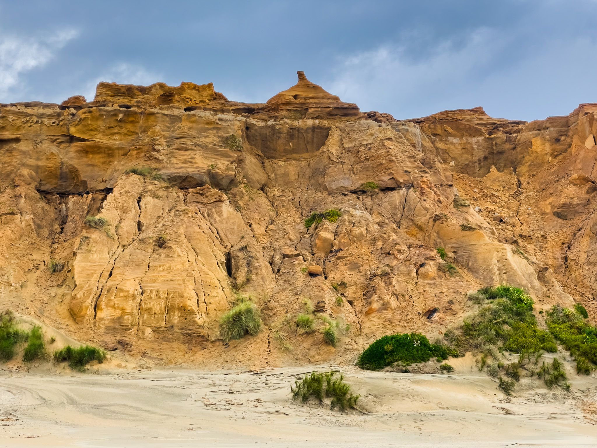
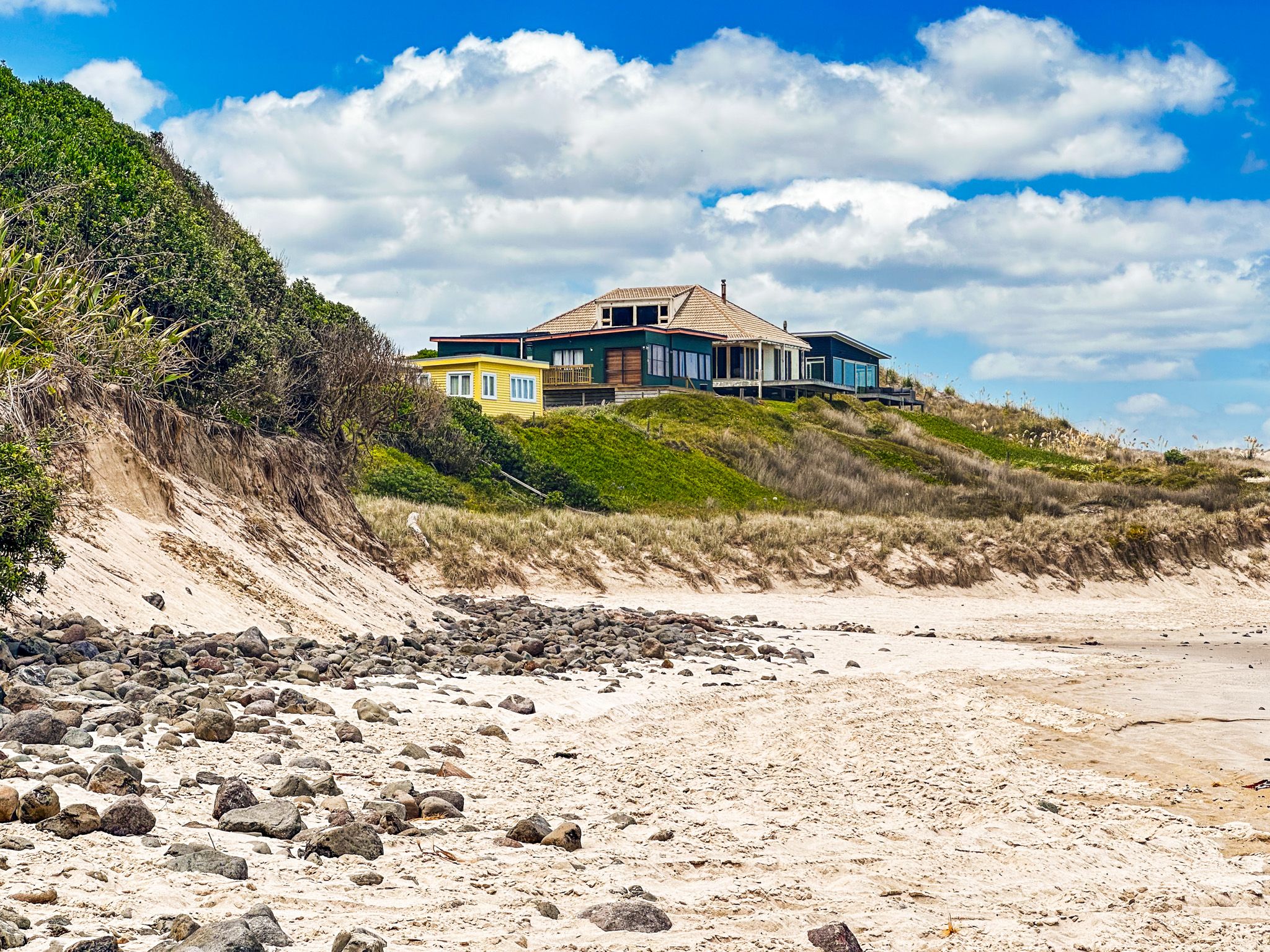
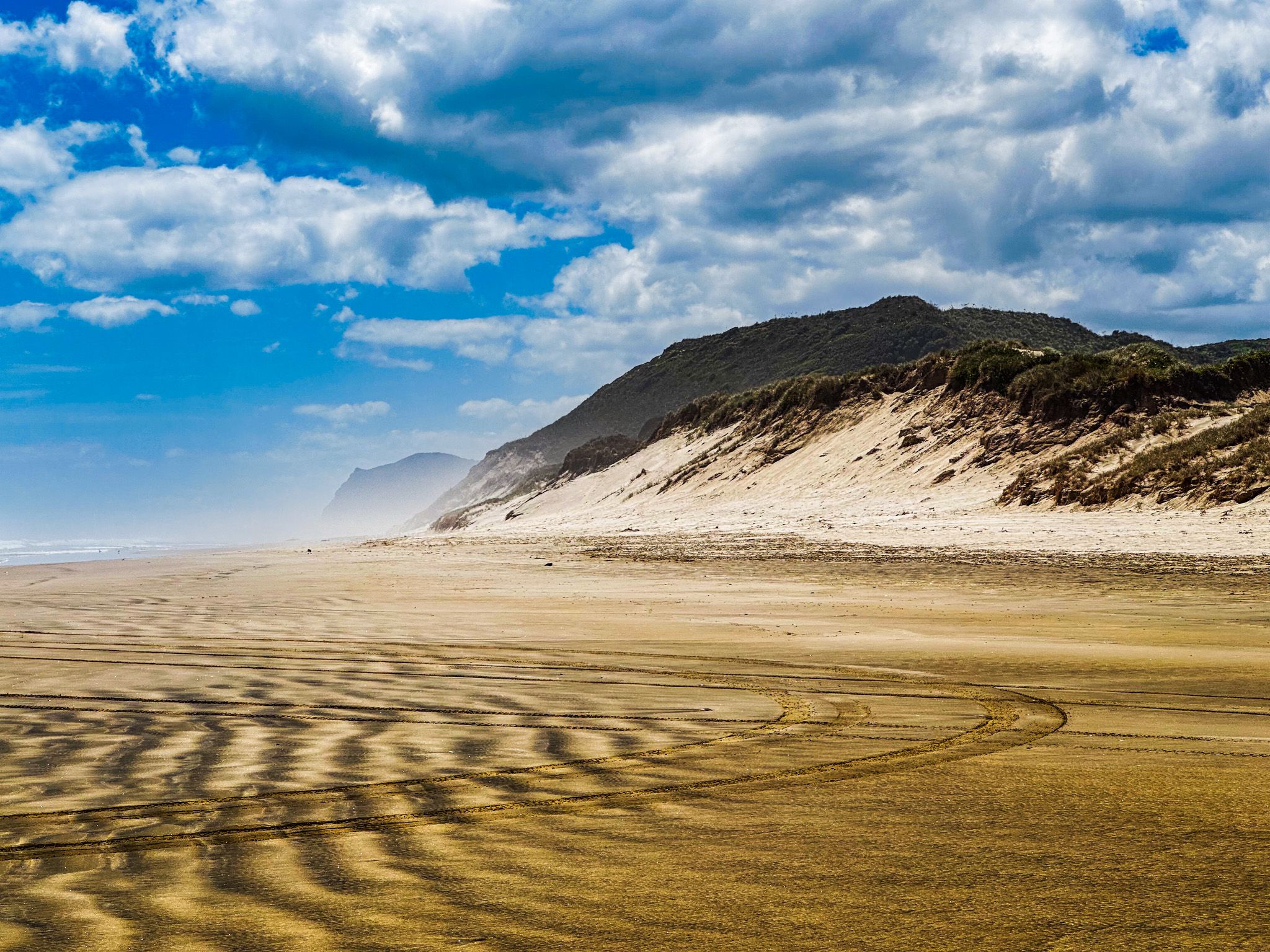
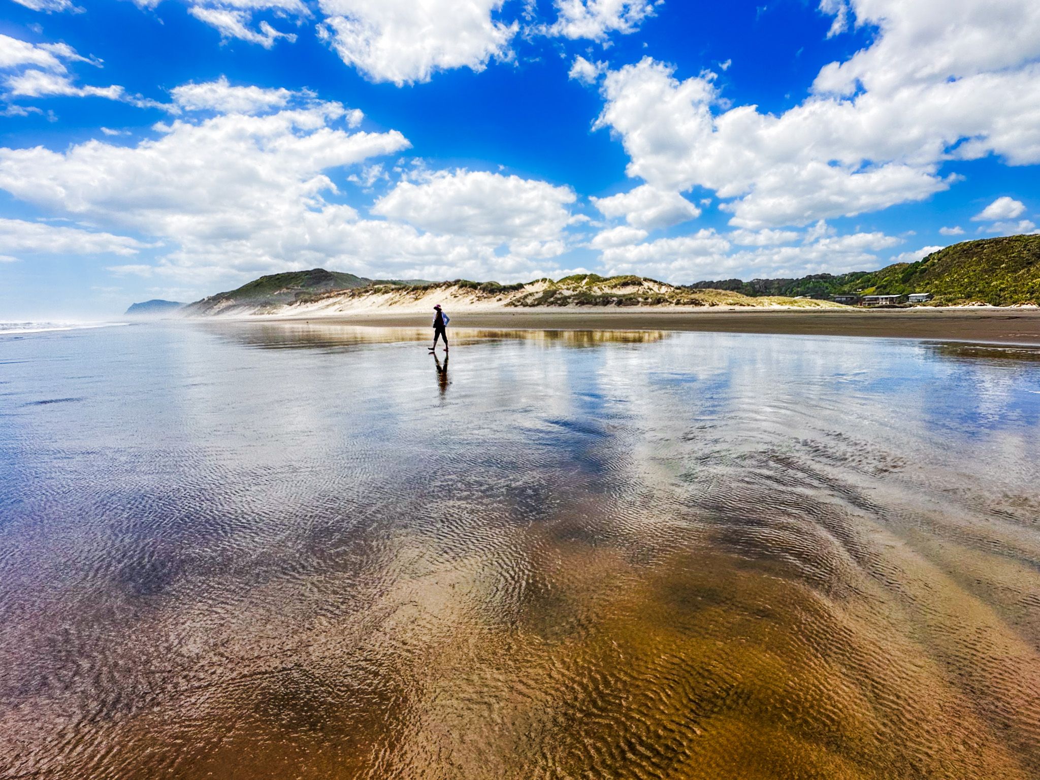
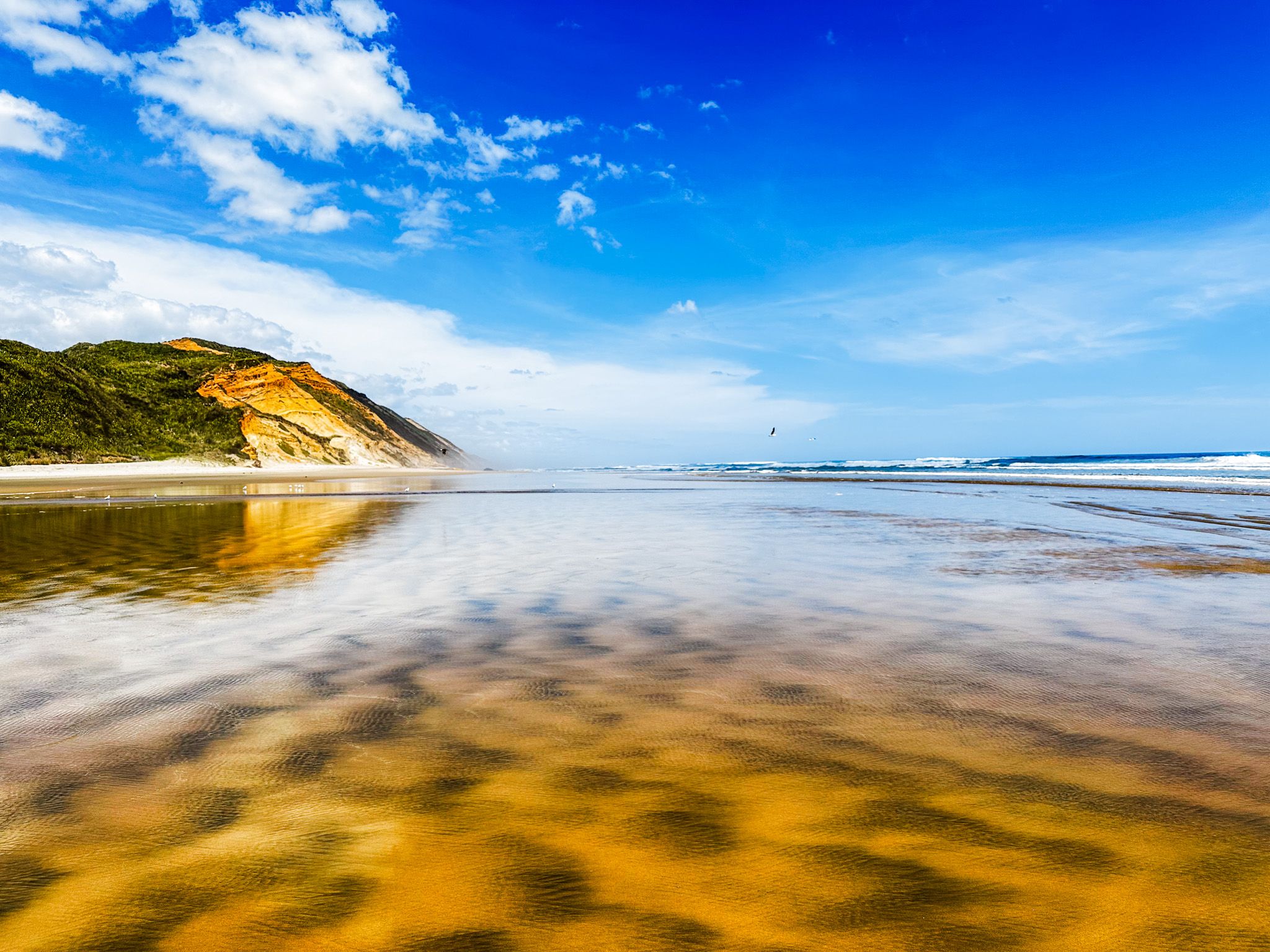
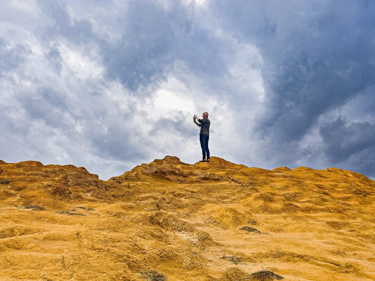
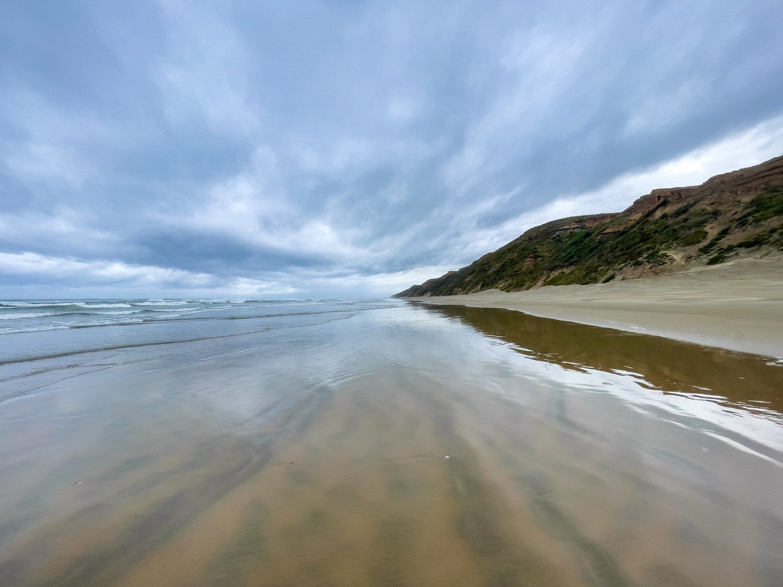
The beach is characterised by its straight expanse, bordered by high dunes and cliffs. Several coastal settlements provide access to the beach, including Glinks Gully to the south, Baylys Beach near Dargaville, Omamari near Kai Iwi Lakes, and Aranga Beach at the northern end. Camping is available at these settlements and at the scenic Kai Iwi Lakes. The various beaches are all extraordinarily photogenic, with high golden cliffs, wide multi coloured beaches, beneath a vast sky in the face of the Tasman Sea.
Historical Significance and Shipwrecks
Ripiro Beach holds historical significance due to the Battle of Moremonui, which took place around 1808 between Baylys Beach and Omamari. Ngāti Whātua ambushed Ngāpuhi, marking the first Māori battle involving guns. Despite Ngāpuhi's possession of a few muskets, they were defeated, prompting Hongi Hika to seek more firearms, leading to the Musket Wars. A monument commemorating this battle is located near Moremonui Gully. The beach is also known for numerous shipwrecks, with over 110 recorded since 1839.
Transformation and Natural Beauty
The arrival of Europeans led to the complete deforestation of the kauri forest east of the beach. This area transitioned to pasture land after gum diggers and farmers moved in. In 1898, a large swamp at Omamari was drained for kauri gum extraction. Despite these changes, many beautiful dune lakes remain, particularly the Kai Iwi Lakes, which are now a popular holiday destination.
Toheroa: A Delicacy of the Past
Ripiro Beach was once renowned for the toheroa, a shellfish delicacy unique to the Northland west coast and Oreti Beach near Invercargill. However, due to overharvesting in the 1950s and 1960s, public collection of toheroa is now prohibited.
Getting to Ripiro Beach
To reach Ripiro Beach from Auckland, take State Highway 1 north to State Highway 12 at Brynderwyn. Follow SH12 east to Dargaville. The highway runs to the east side of the town, and from there, you can access the beach via Baylys Beach Road. If you're coming from the north on SH12, Aranga Beach via Aranga Coast Road provides another entry point.
Other activities on the Kauri Coast include Waipoua Forest, where you can visit the giant ancient kauri trees, Tane Mahuta and Te Matua Ngahere, and Trounson Kauri Park. Further north, you can discover the Waiotemarama Waterfall and Waimamaku Beach, followed by the Hokianga Harbour.