Discovering Ōtuataua Stonefields
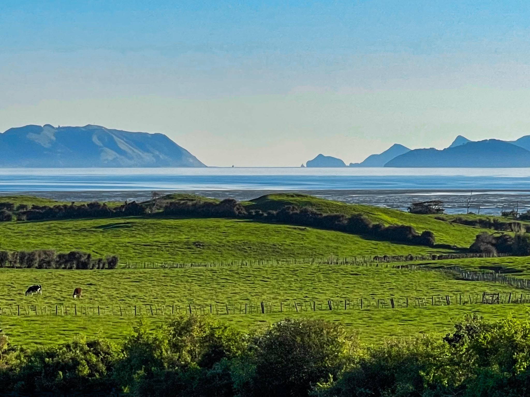
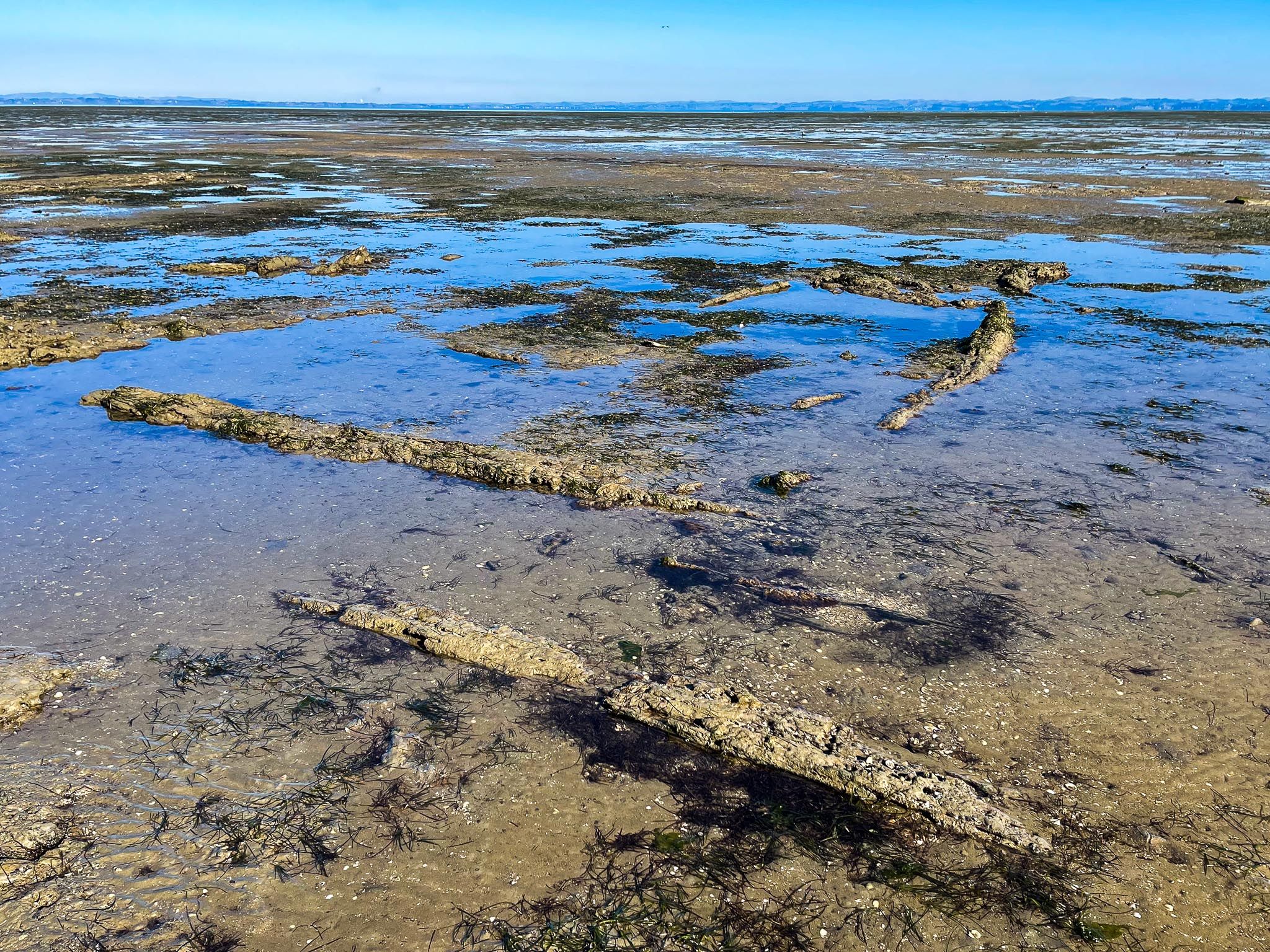
Located on the Ihumātao Peninsula, Ōtuataua Stonefields Historic Reserve sits on the edge of the Manukau Harbour in Māngere. This site is one of Tāmaki Makaurau's most culturally and archaeologically significant landscapes. It preserves a rich tapestry of Māori and European history, featuring ancient stone gardens, pā sites, and dry-stone walls from early European farmers. The reserve also provides walking access to two ancient volcanic craters.
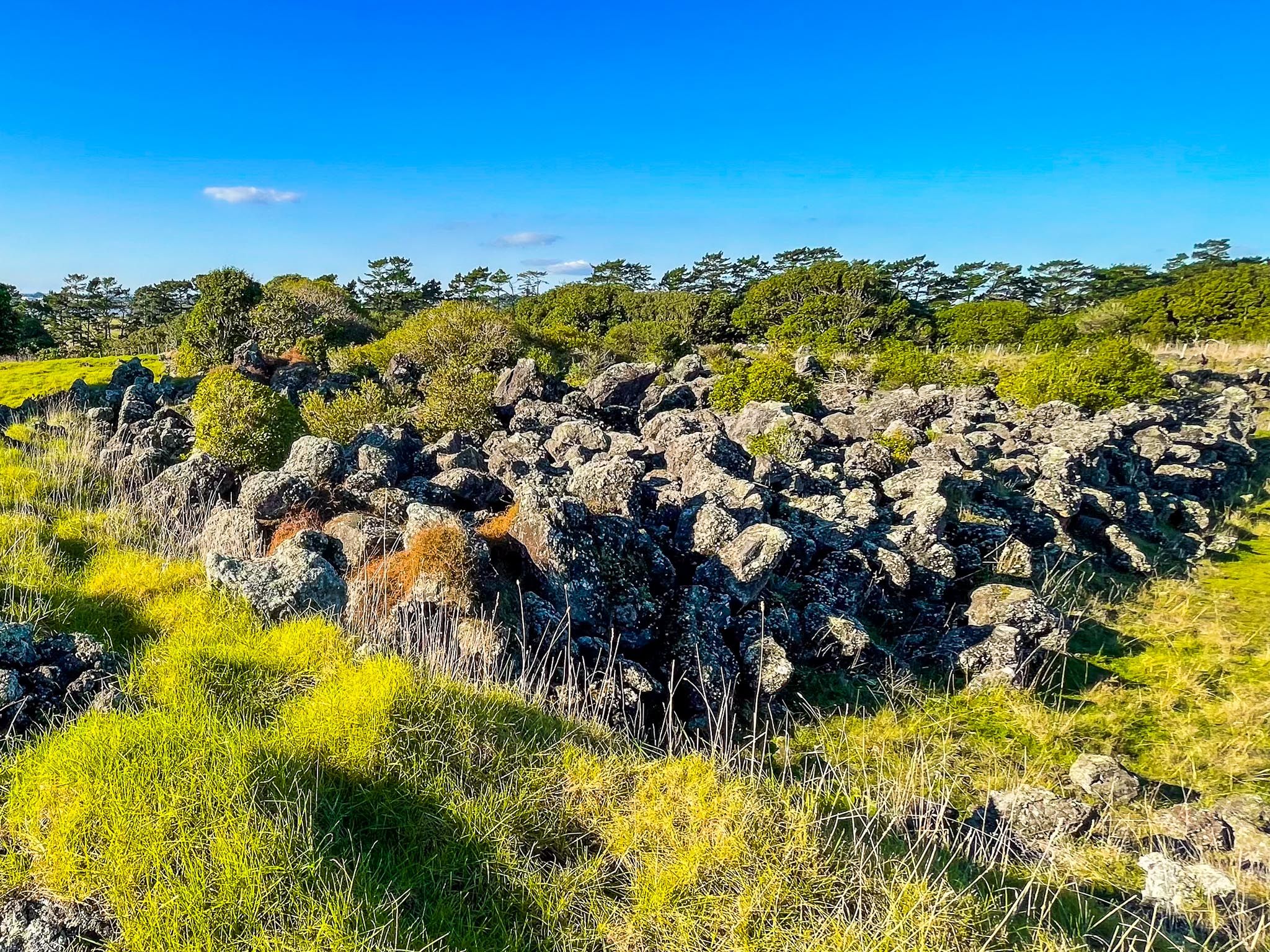
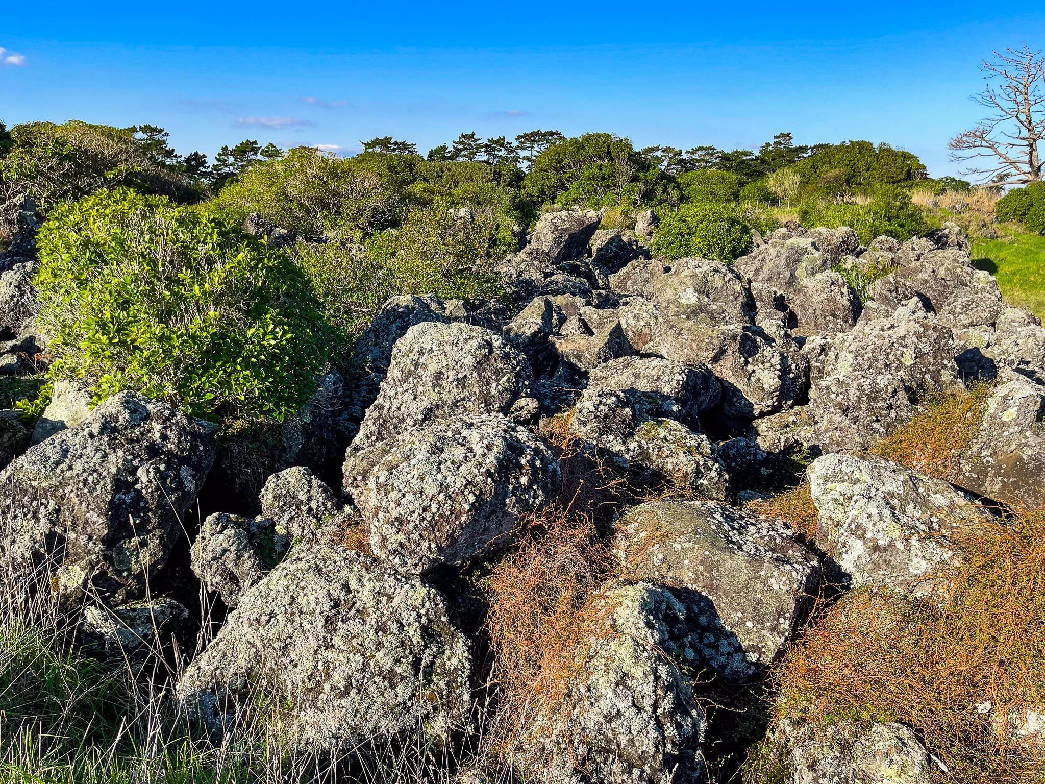
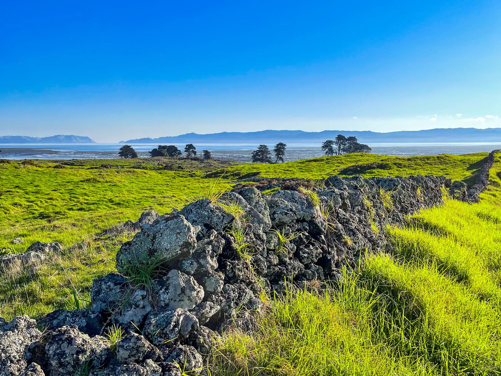
The Māori Stonefield Gardens
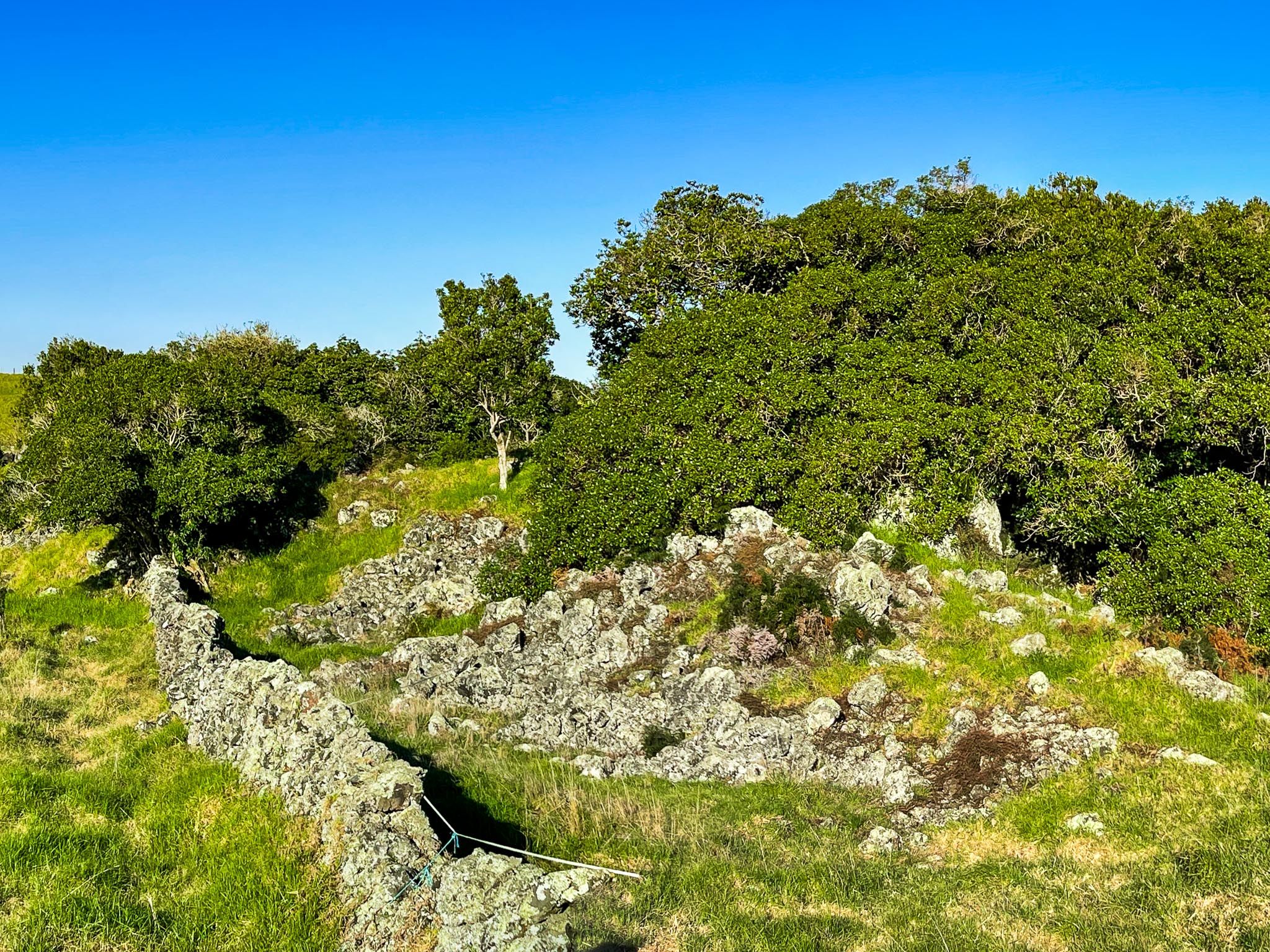
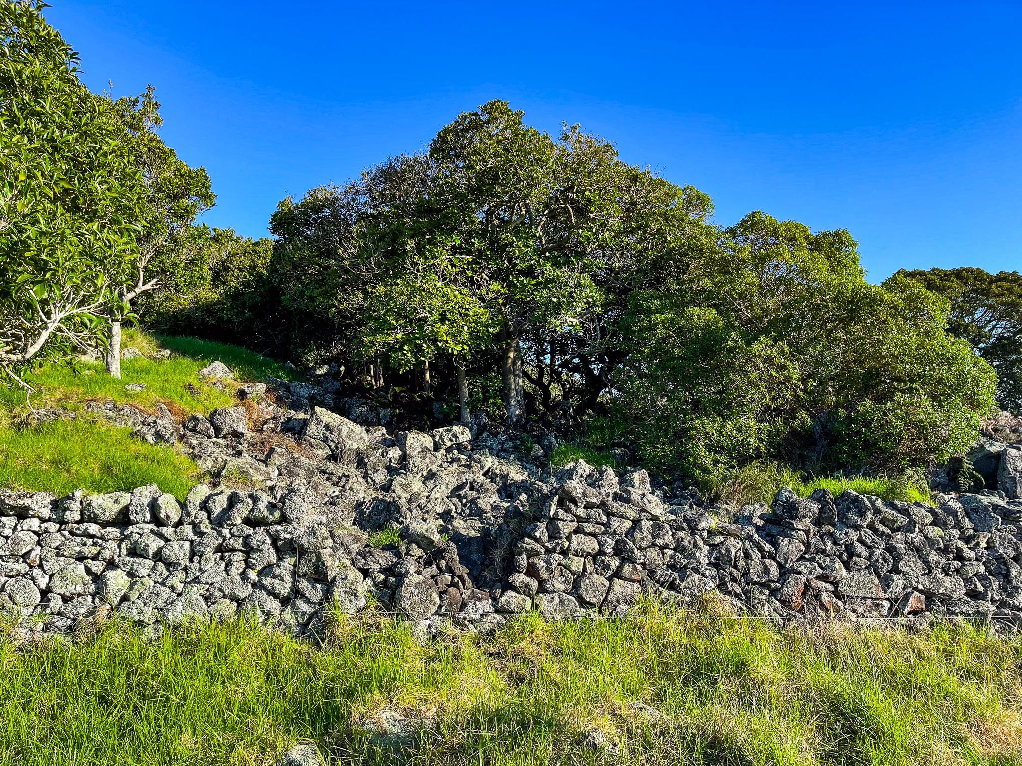
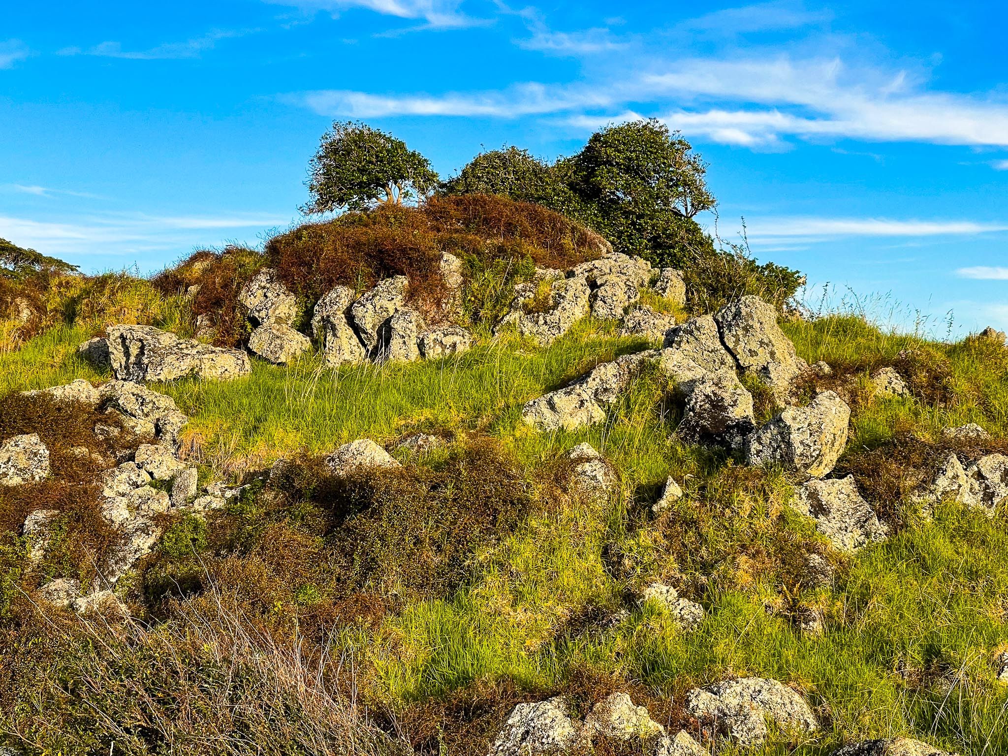
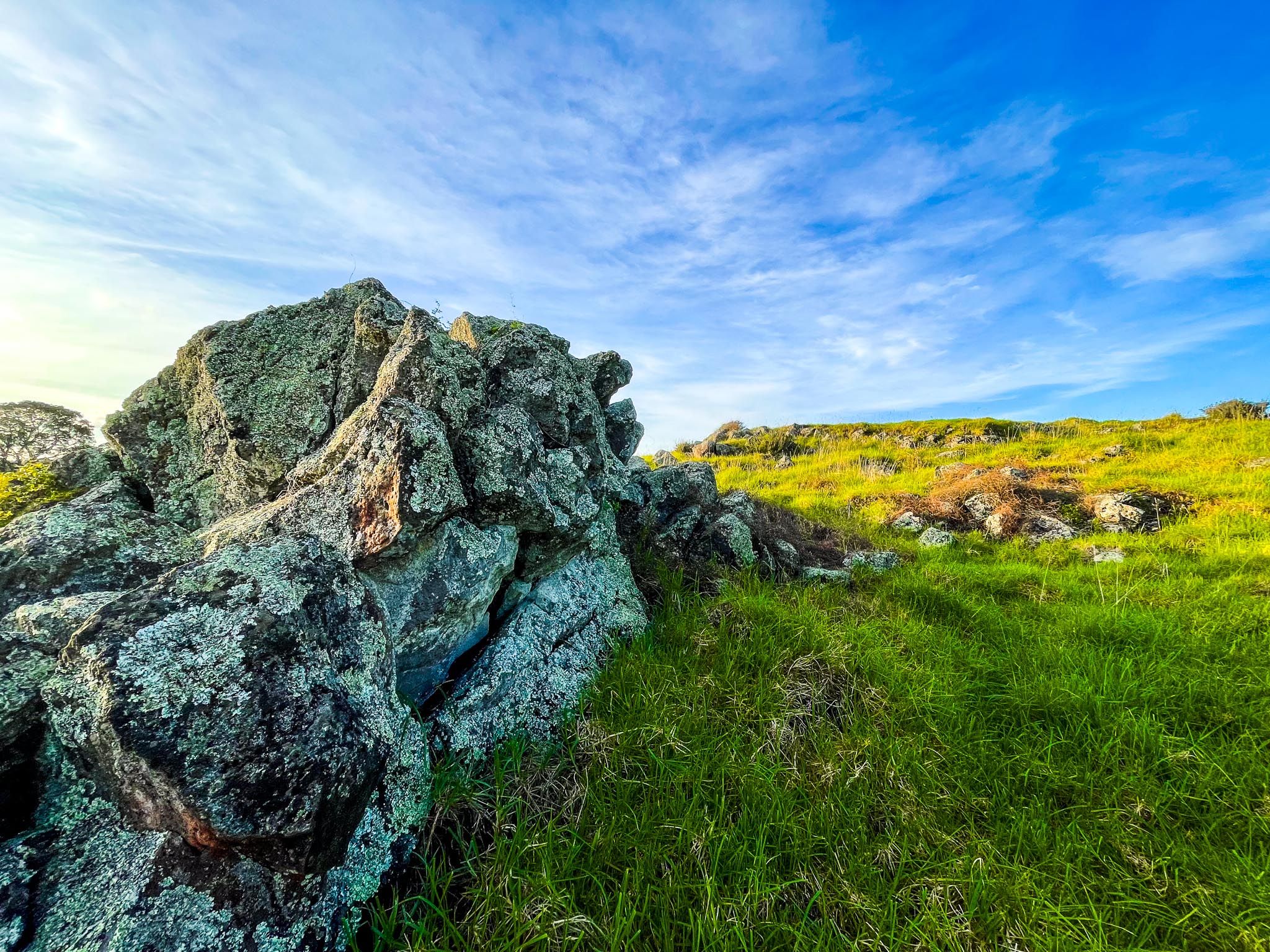
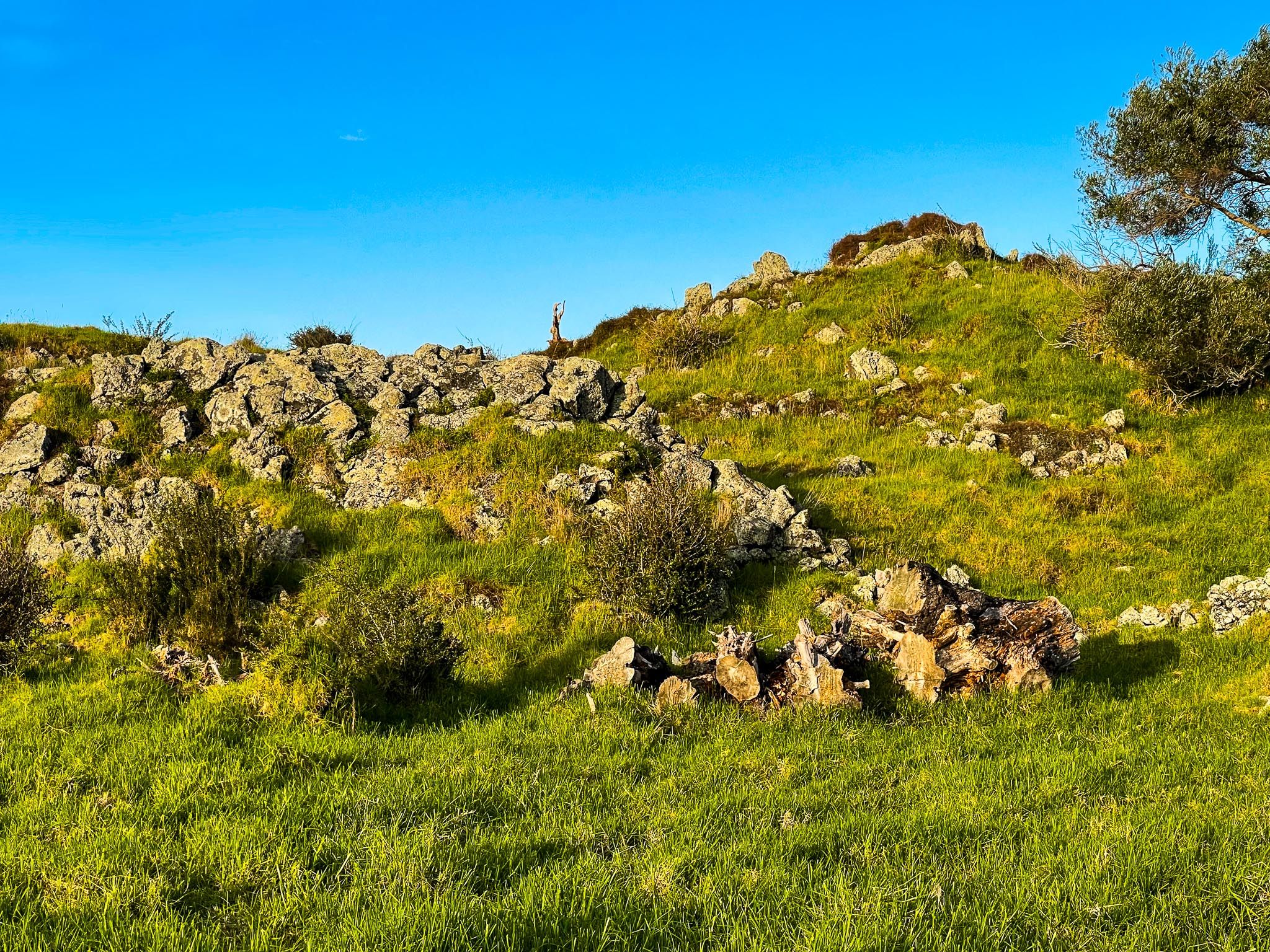
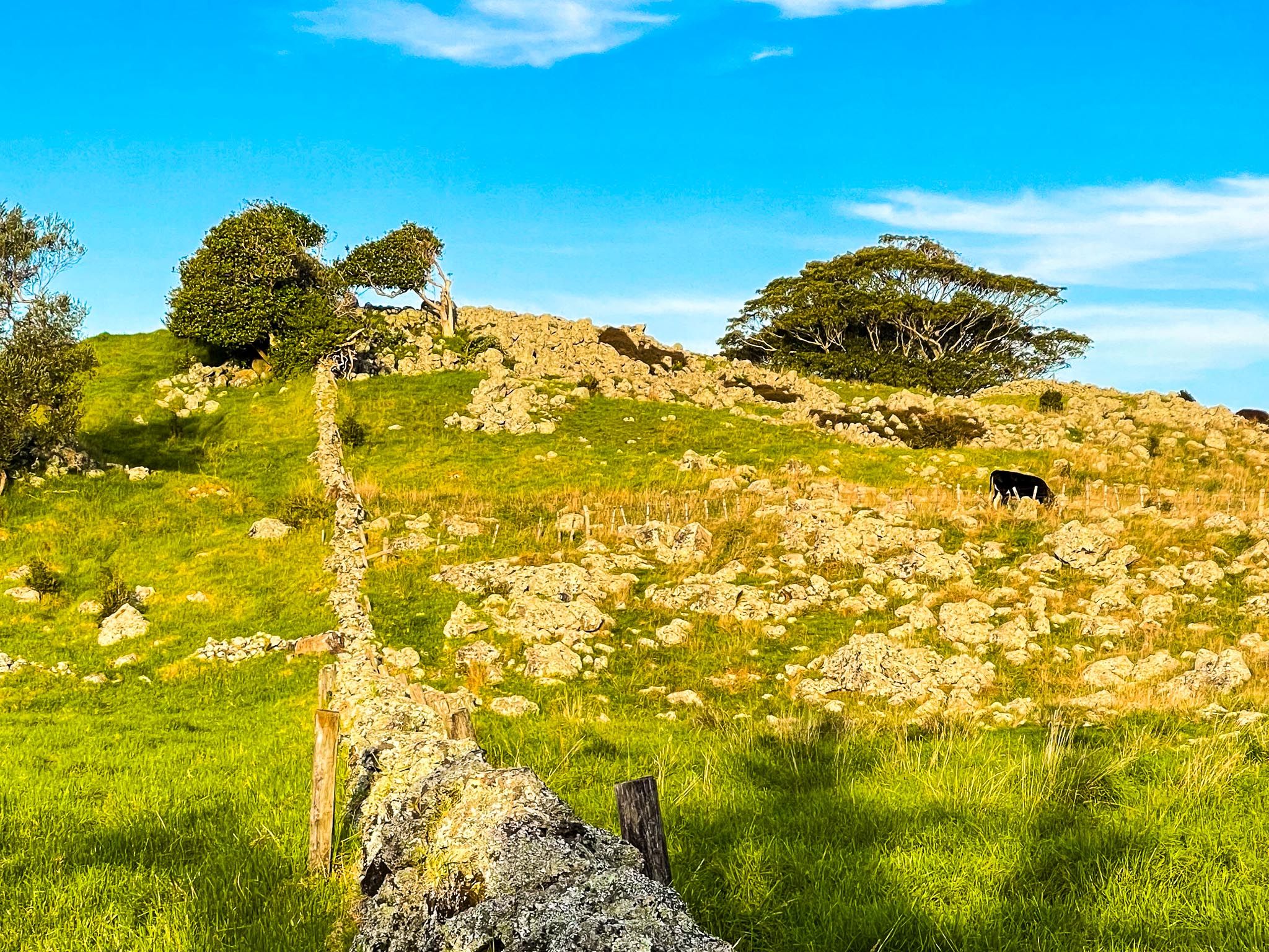
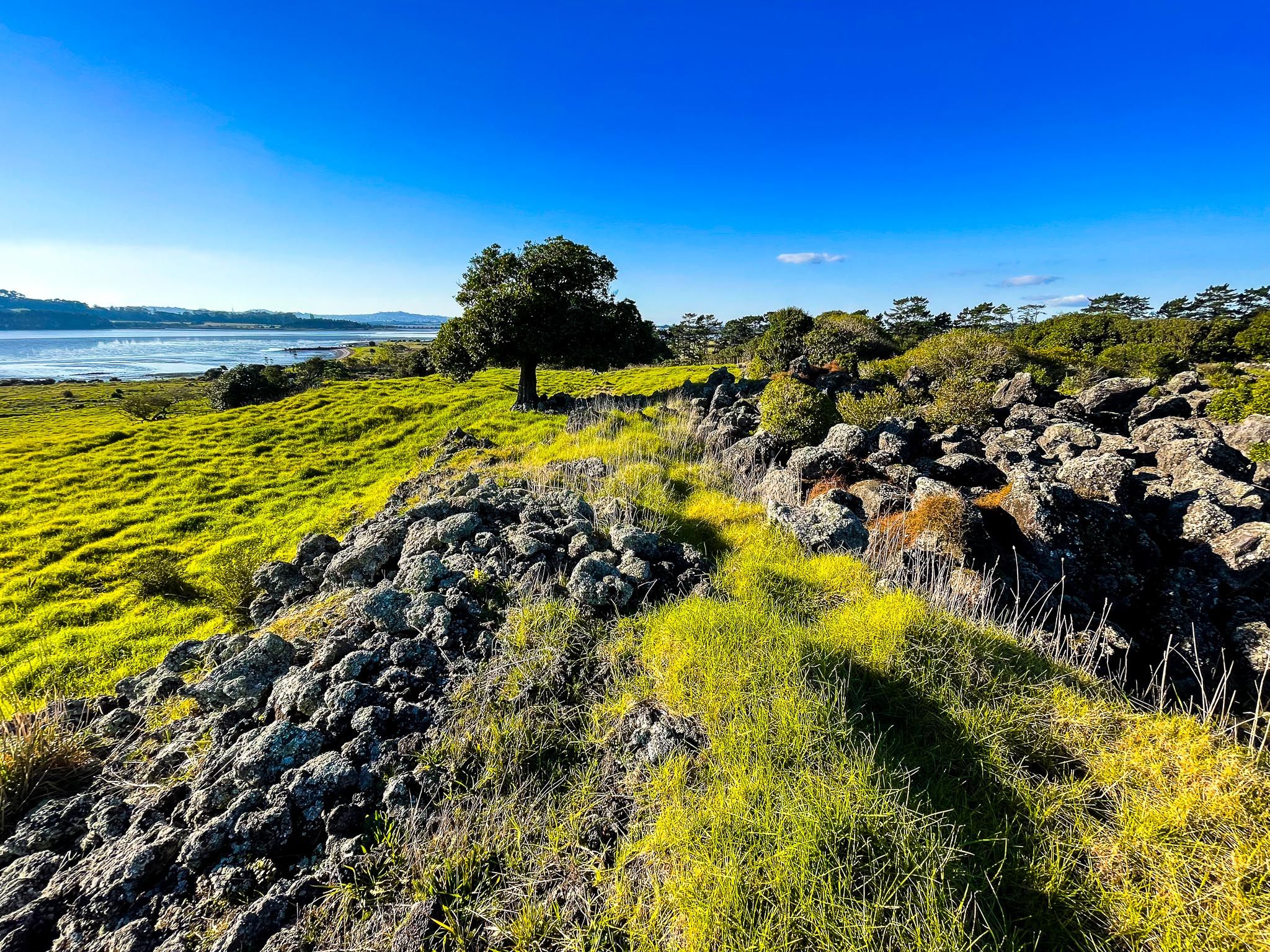
Ōtuataua is one of the earliest Māori developments of volcanic stonefield gardening. Here, the warm, well-drained soils and basalt rocks were used to cultivate kūmara and other crops. The stones scattered across the landscape were strategically placed to protect plants from the wind, retain heat, and mark boundaries. This heat retention was crucial for acclimatising plants brought from warmer central Pacific climates.
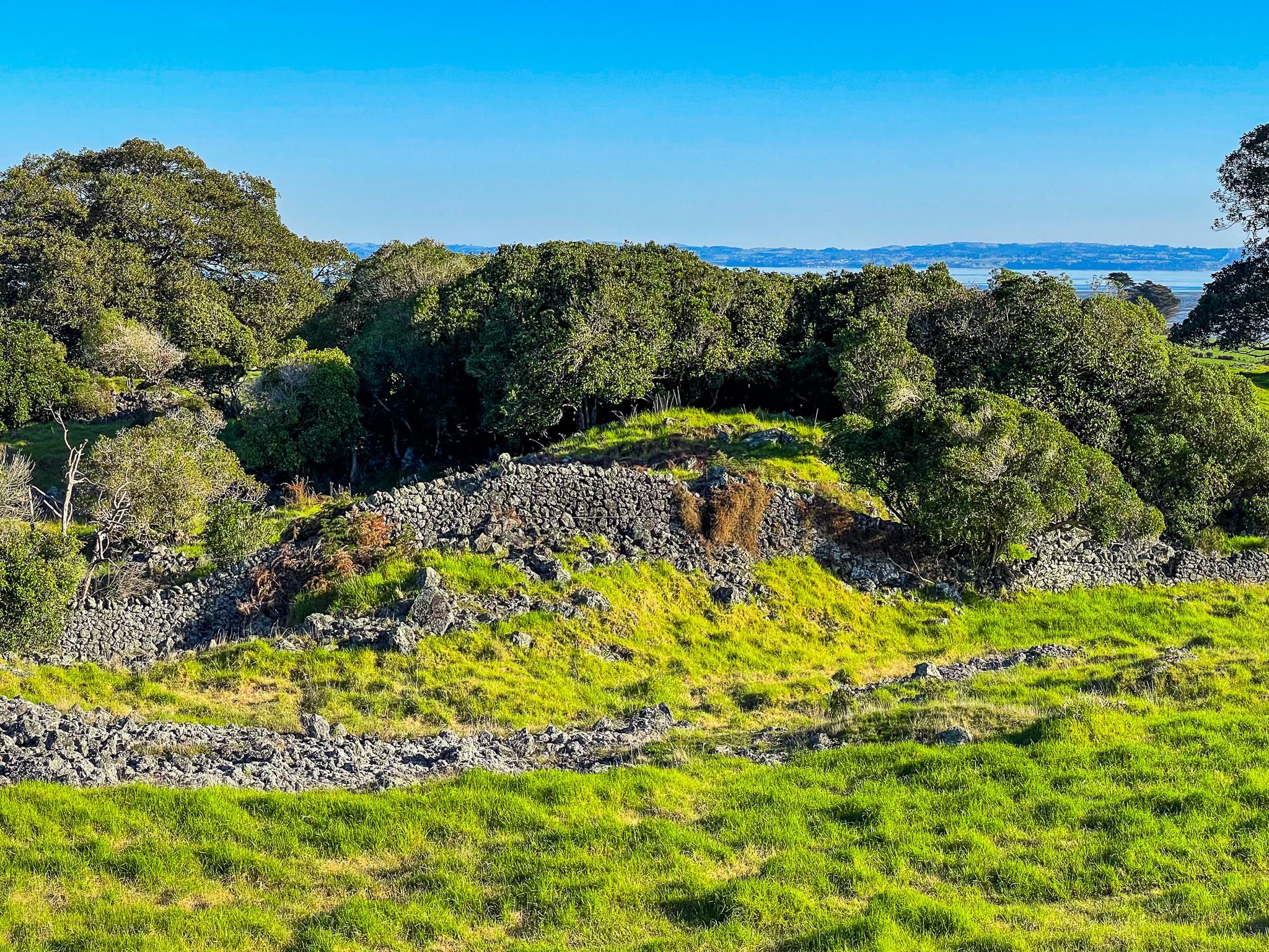
The earthworks of ancient pā are also visible on the ridgelines and slopes, highlighting the site's strategic importance.
European Influence and Land Confiscation
In the 1860s, the Crown confiscated the land during the Waikato invasion and sold it to European farmers. These farmers used the area for grazing and quarrying, constructing the dry-stone walls that remain today. Urban expansion in the 1900s affected parts of the area, but in 1999, the core stonefields were protected as a historic reserve.
Recent Land Disputes and Resolution
In recent years, land adjacent to the reserve has been embroiled in ownership disputes, leading to protests and legal actions, including road blockades. In 2020, an agreement was reached for the government to purchase the affected land, which is now managed in partnership with iwi and hapū with ancestral ties to the area.
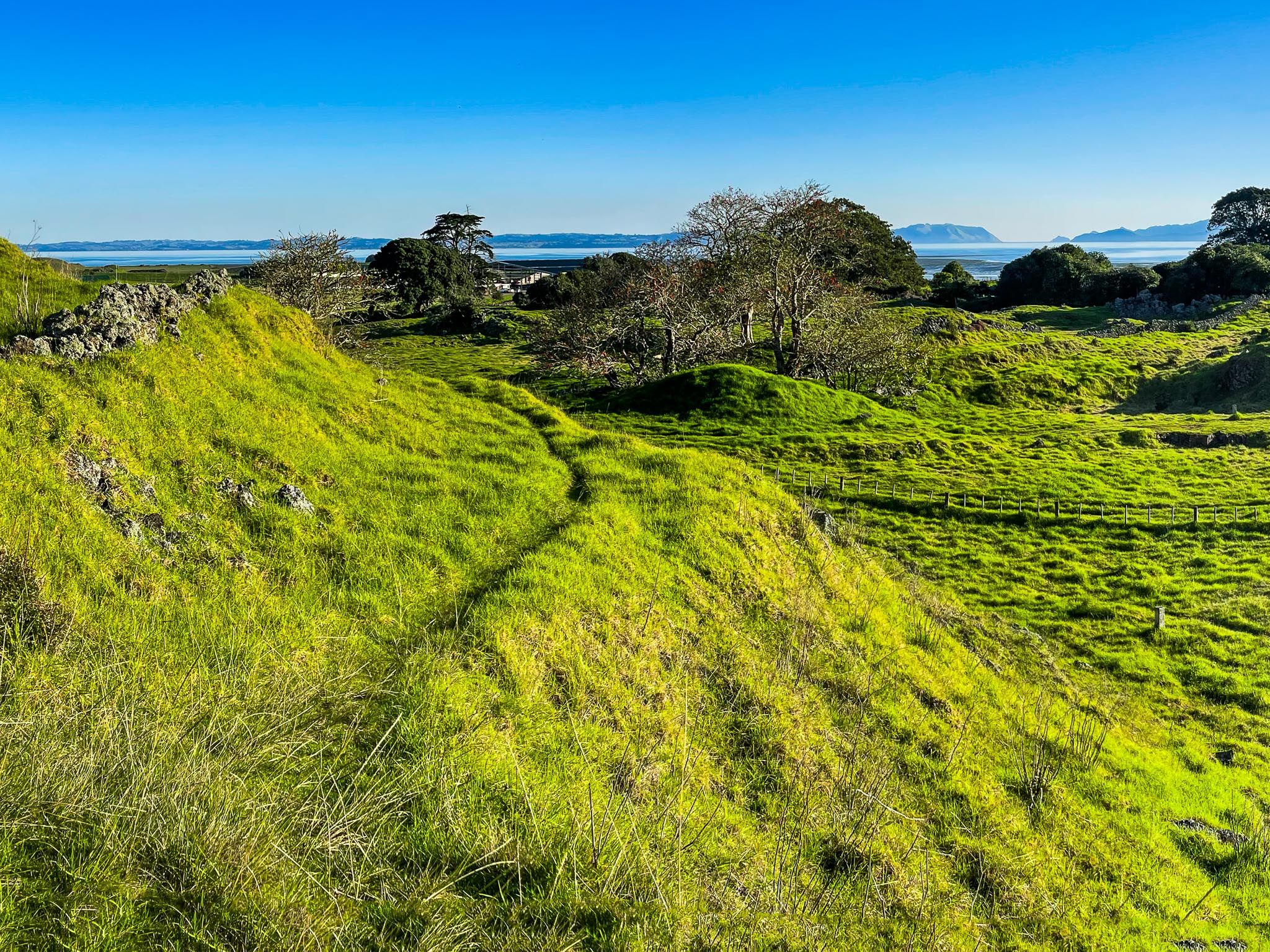
Exploring the Reserve
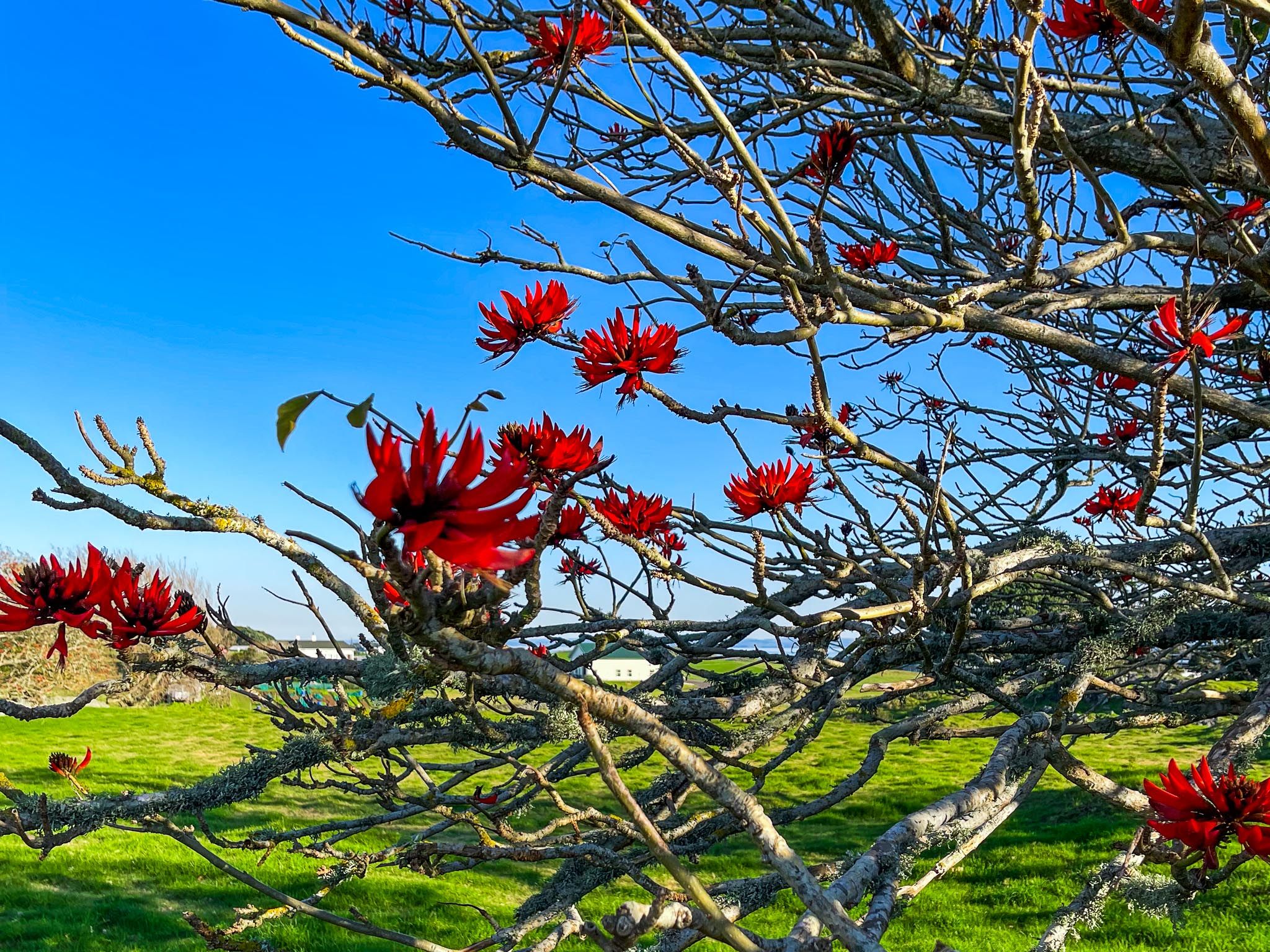
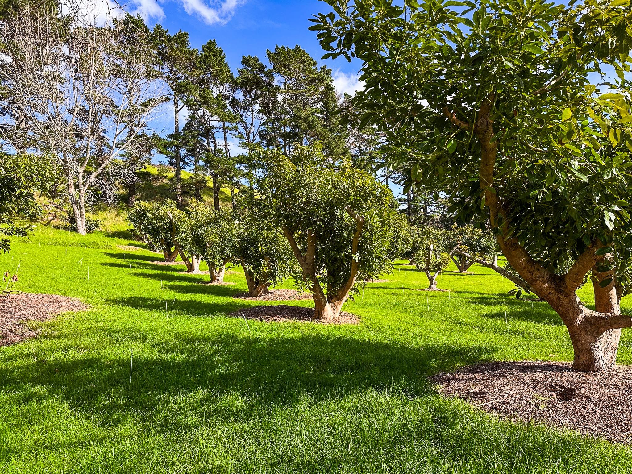
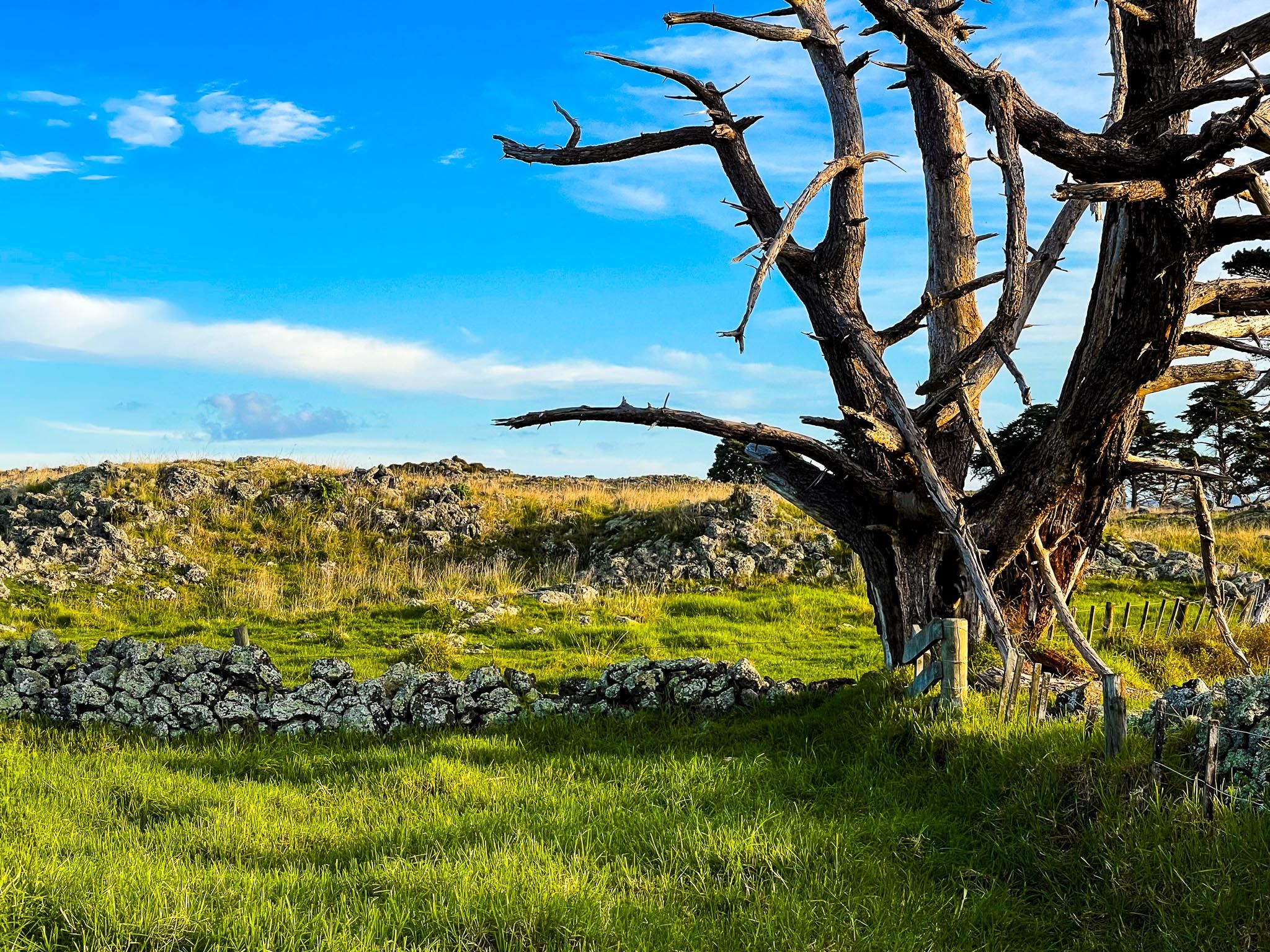
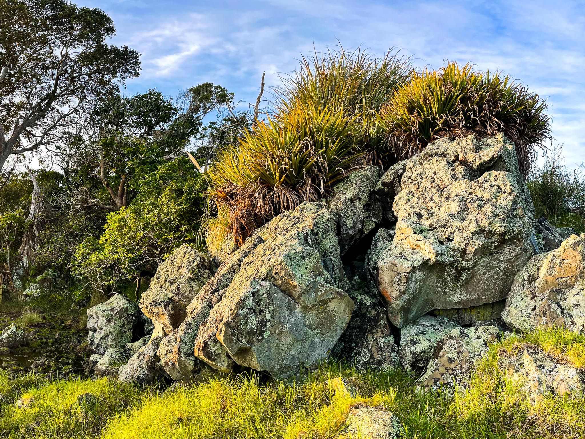
Walking paths through the reserve allow you to explore the stonefields, open paddocks, lava fields, and bush pockets. Interpretive signage provides insights into the area's agricultural and Māori history. Look out for the avocado orchard, where you can pick up to five avocados per person in season.
The site is particularly evocative at dawn or dusk, when the low light accentuates the land's contours and historical significance.
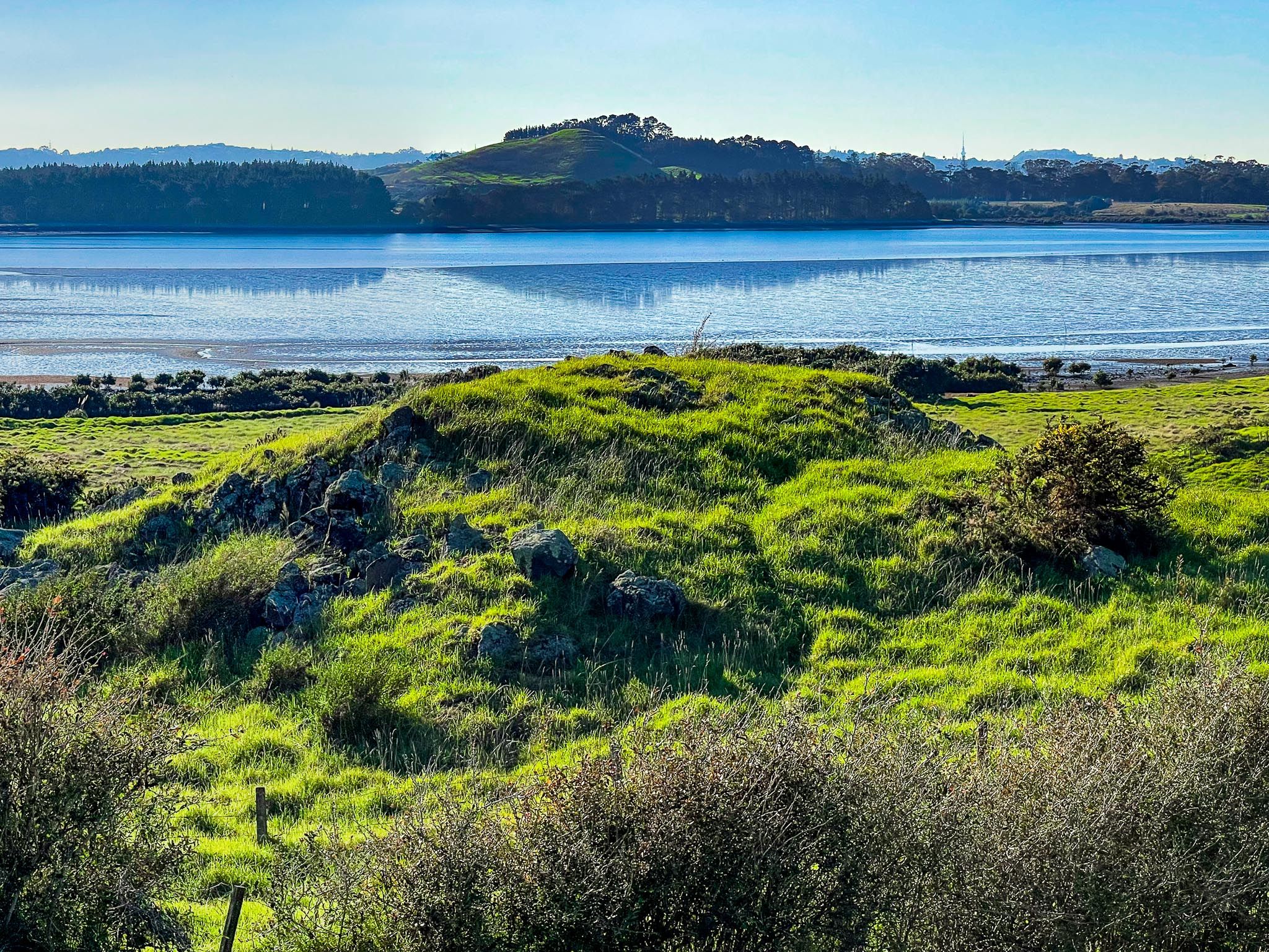
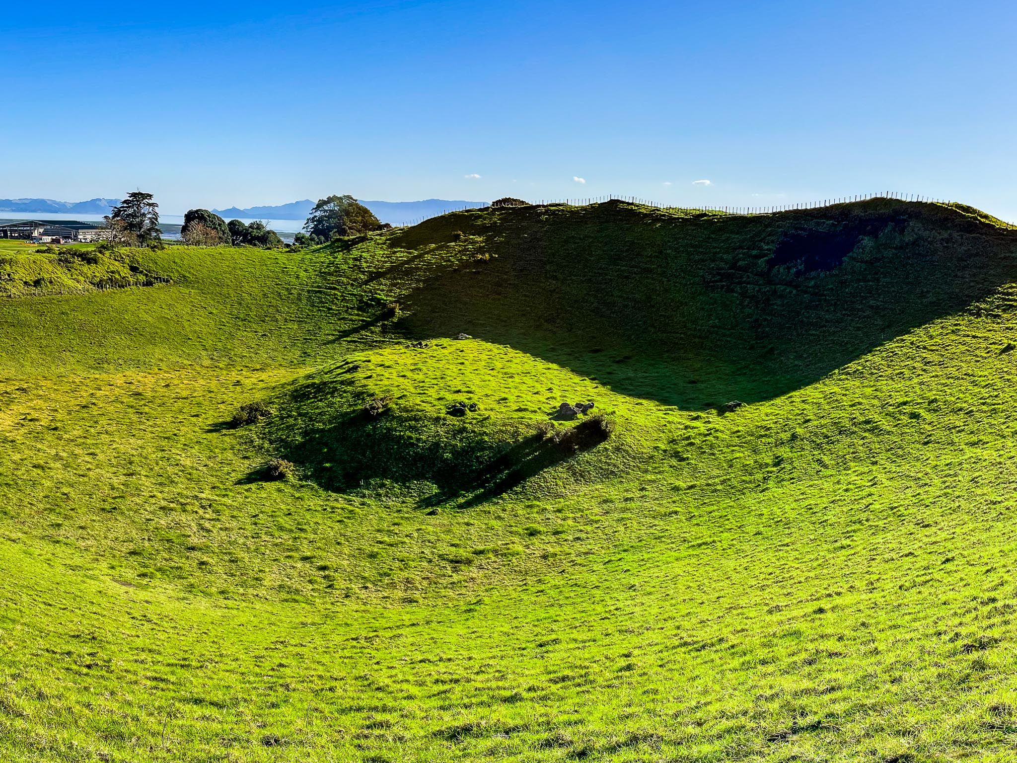
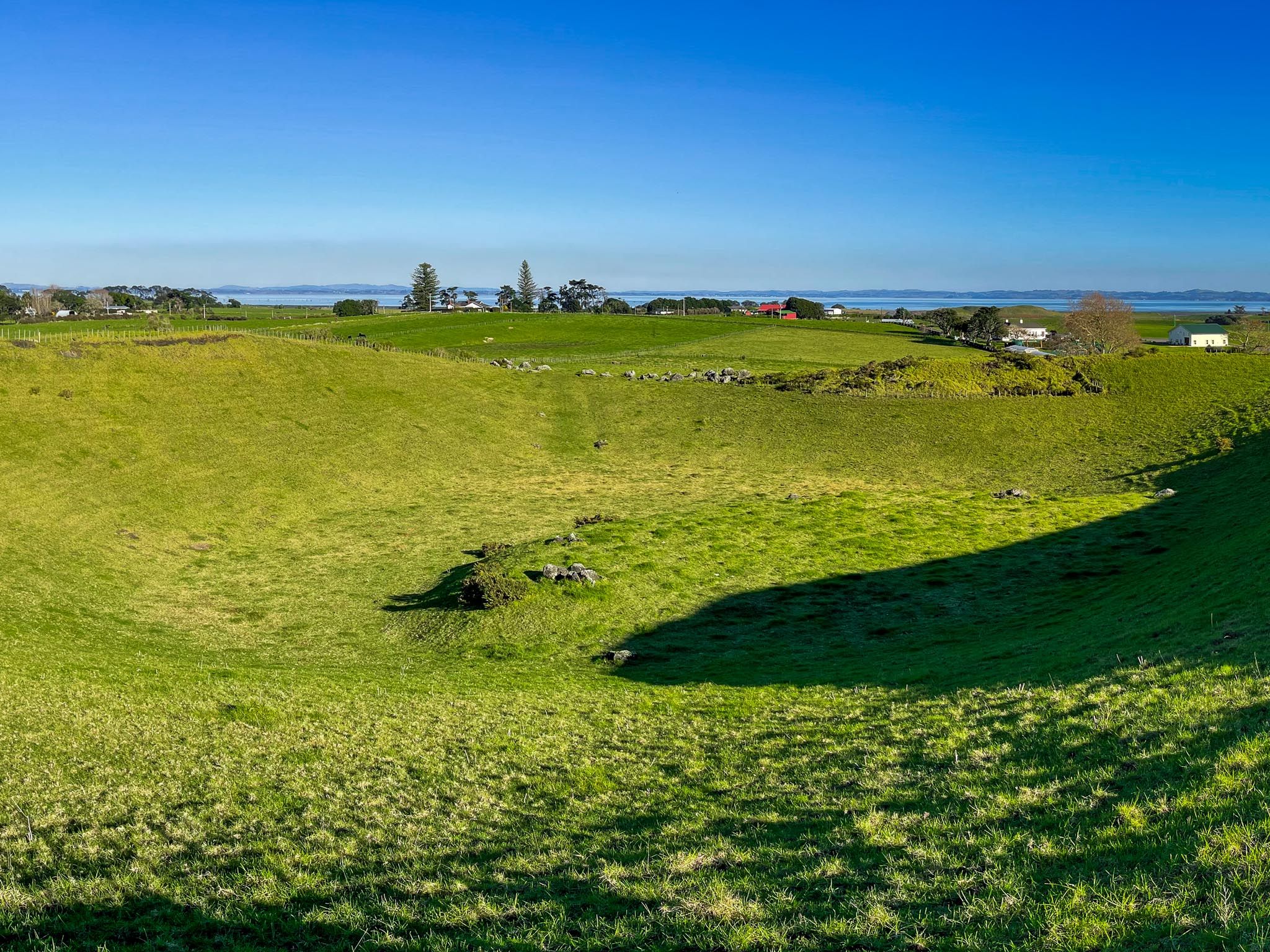
Volcanic Features and Scenic Views
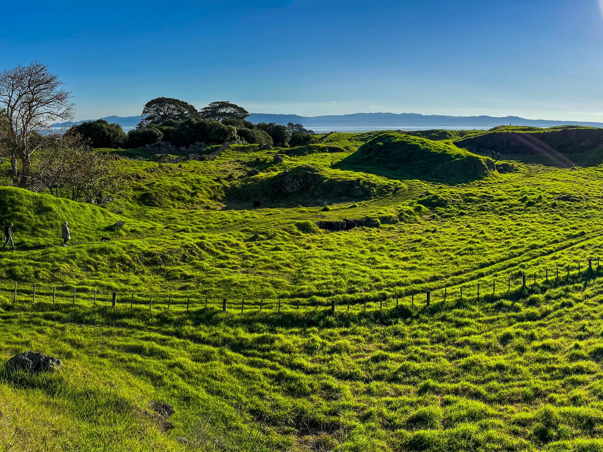
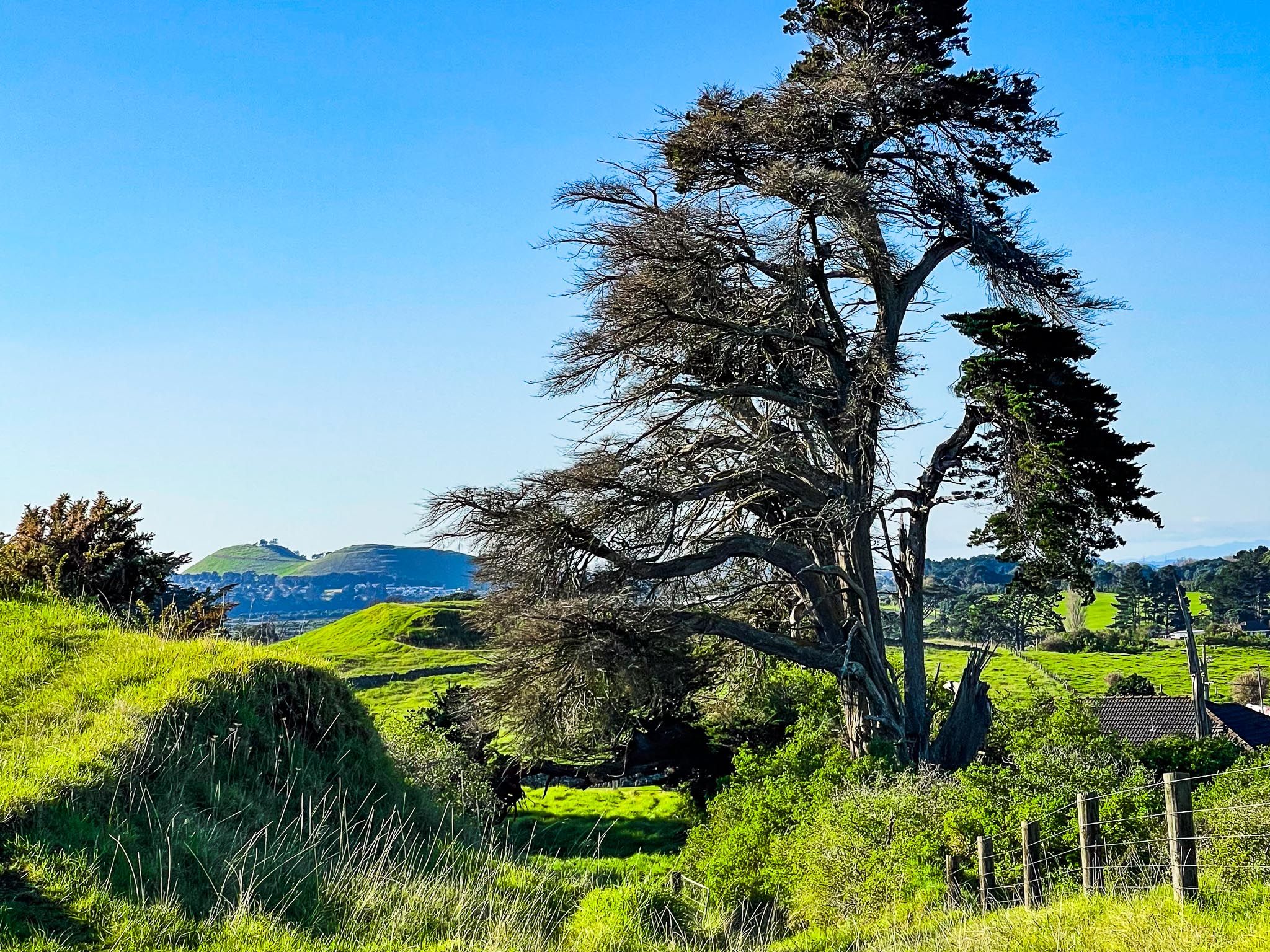
At the reserve's southern edge lies Te Puke Ōtuataua, a low volcanic cone with a circular, walkable crater. A short climb to the summit offers expansive views across the peninsula, over the stonefields and harbour, and out to the Waitākere Ranges. This spot is perfect for reflecting on the landscape's enduring history.
Puketi, a high point with a smaller cone, partly quarried, is located on the northeast side of the reserve.
Access to Ōtuataua Stonefields
The main road access to Ōtuataua Stonefields Historic Reserve is via Ihumātao Quarry Road, off Oruarangi Road. However, due to past land protests, there are still partial barriers and no access signs.
Alternatively, you can access the reserve from the north via the Watercare Coastal Walkway. If driving, park near the Oruarangi Creek bridge on Oruarangi Road and walk from there. Another option is to walk in from the southeast corner on Ihumātao Road, where a small parking area and signposted access are located about 4 km along the road from George Bolt Memorial Drive.
How to Get There
From Downtown Auckland, take the western motorway, then the eastern motorway towards Mangere. Continue to George Bolt Memorial Drive, then head west onto Ihumatao Road. Continue until you reach the access and car park signposted, about 700 metres beyond the intersection with Renton Road.
Nearby, you can visit Maunga-taketake / Ellett’s Beach and Ō Whata / Renton Beach. From the Ōtuataua Stonefields, you can walk or bike the Watercare Coastal Walkway to Puketutu Island, Māngere Lagoon and Ambury Regional Park.