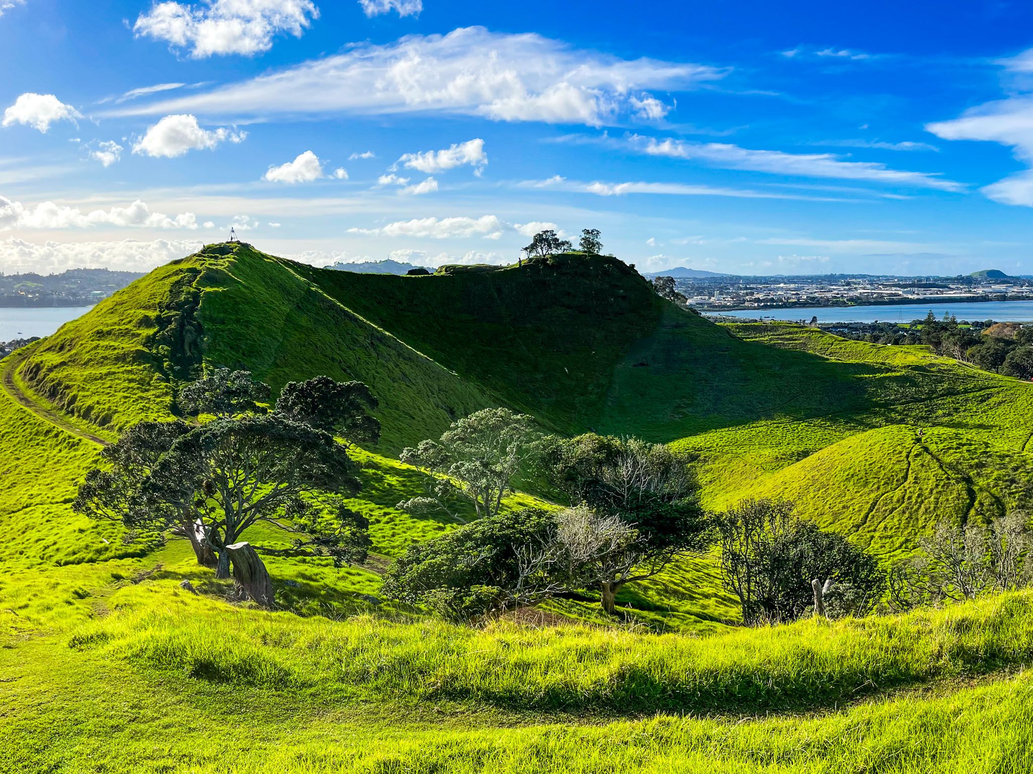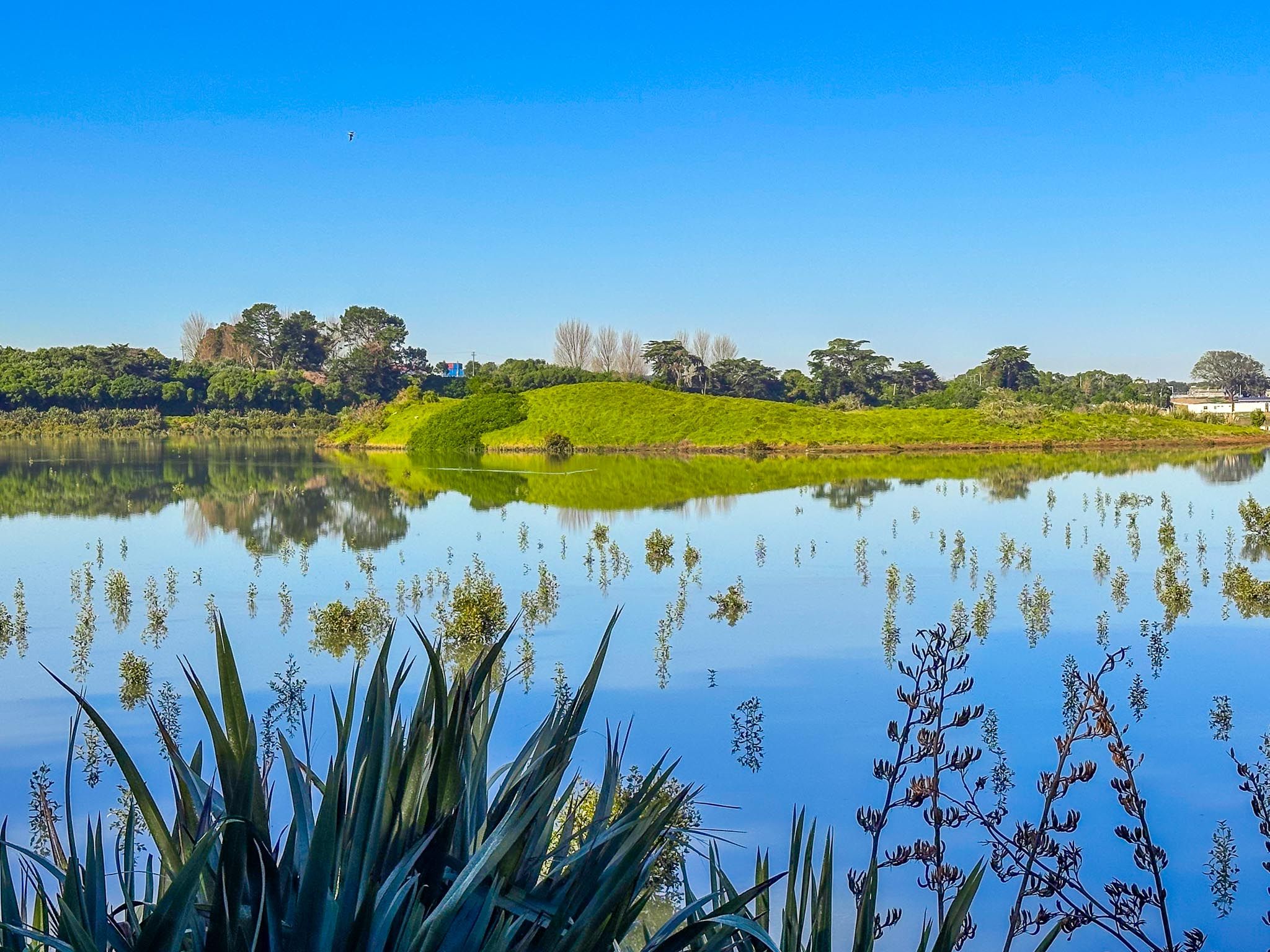
Māngere Lagoon: A Volcanic Gem
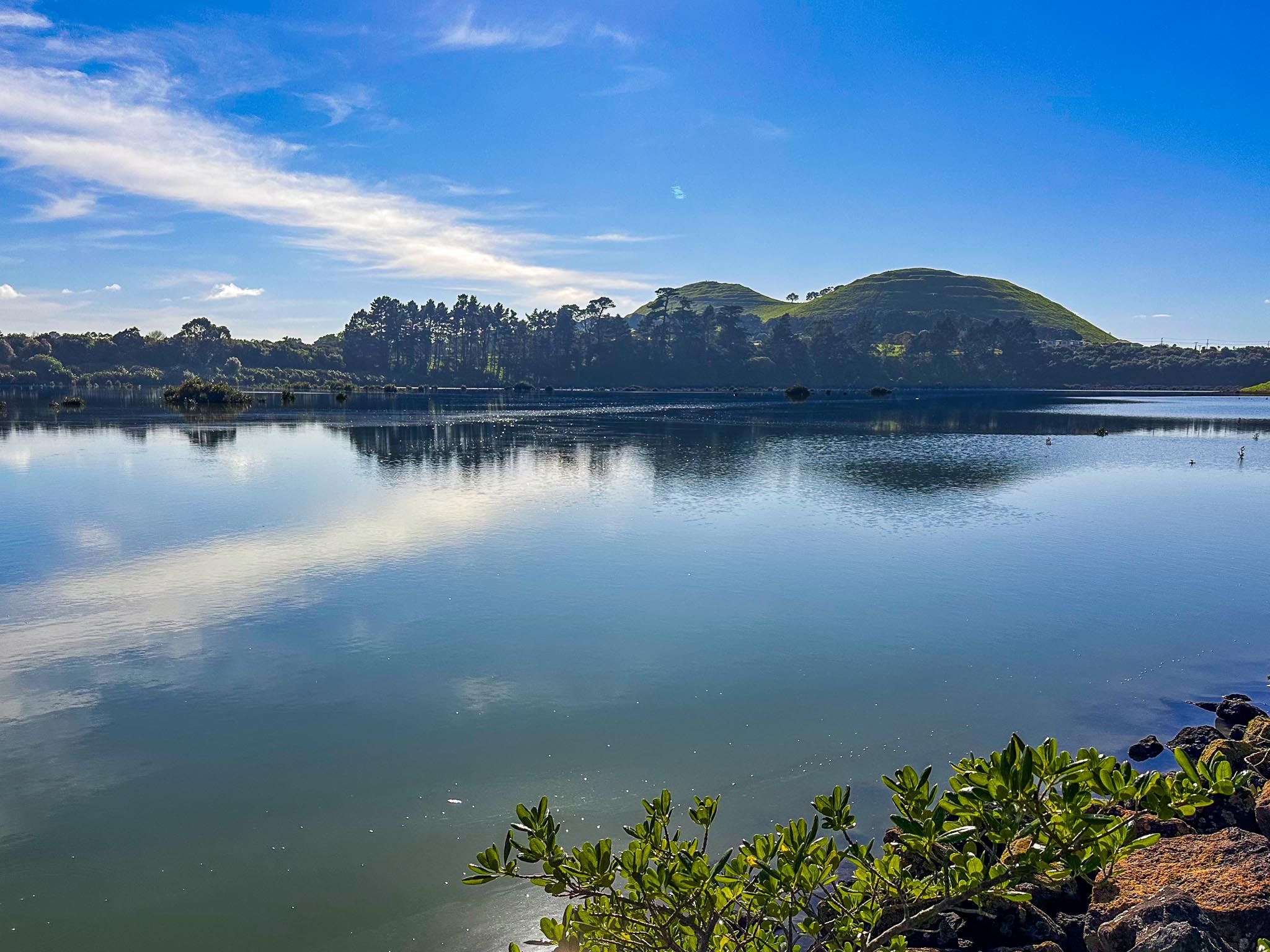
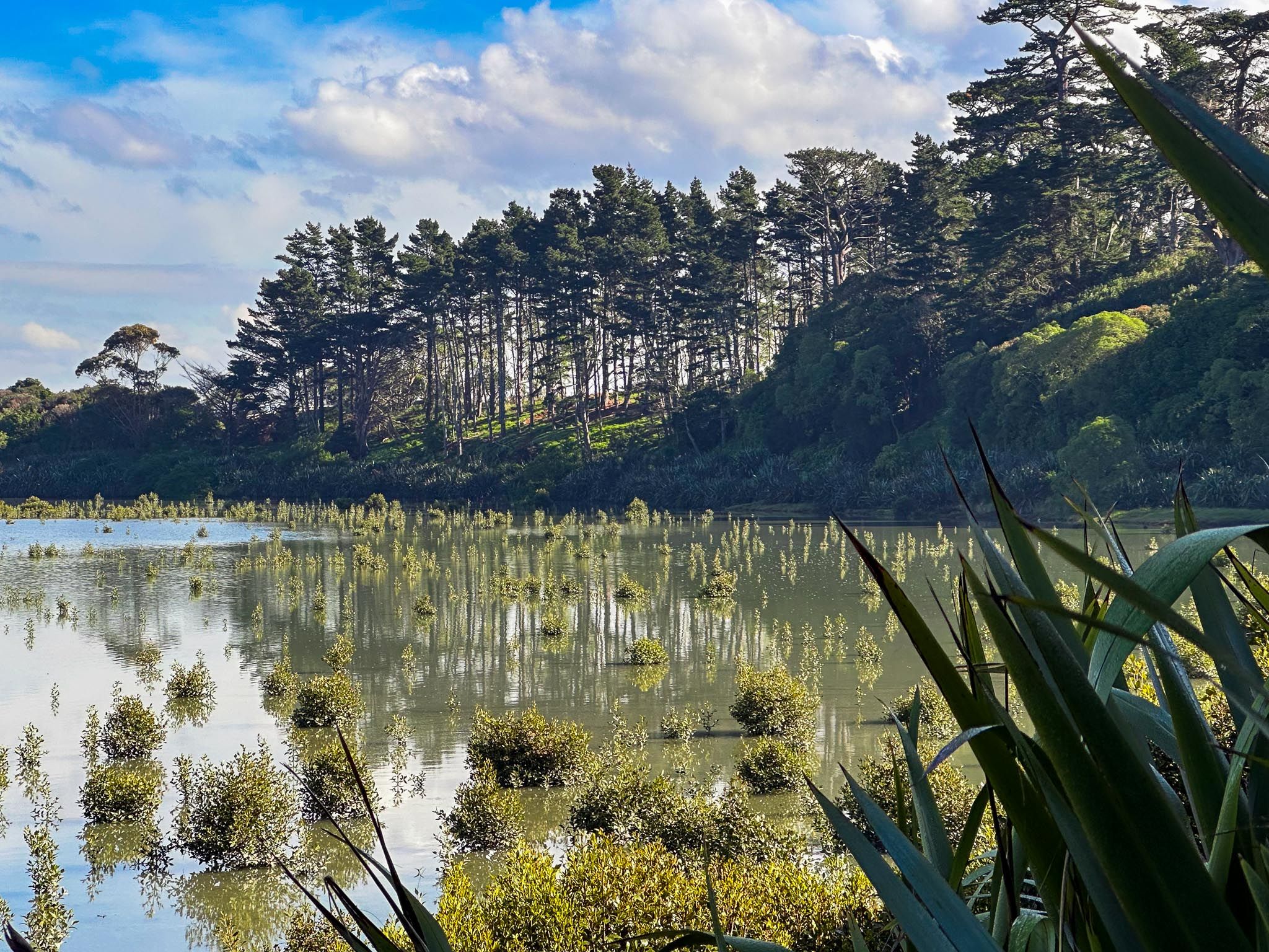
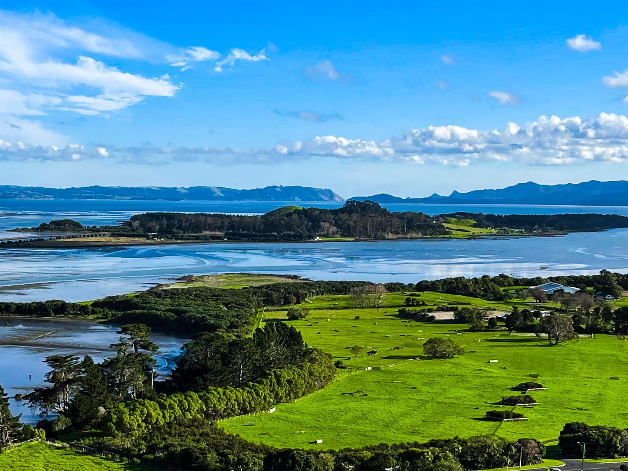
Māngere Lagoon, located in Māngere on the edge of Manukau Harbour, is a striking feature of the volcanic landscape of Auckland. This flooded volcanic maar, formed around 70,000 years ago, is east of Ambury Regional Park and south of Māngere Mountain. The lagoon's transformation from an explosive crater to a lagoon occurred 7,000 years ago due to rising sea levels. Today, it is a quiet spot where you can enjoy a leisurely walk and observe the area's natural beauty and wildlife.
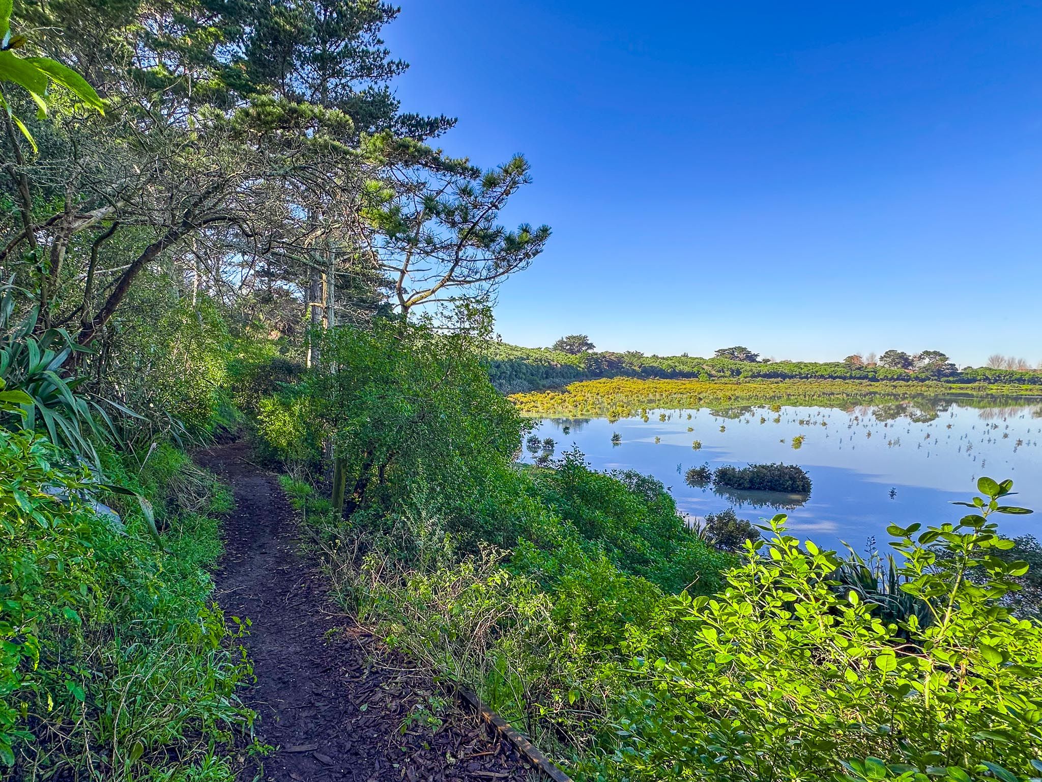
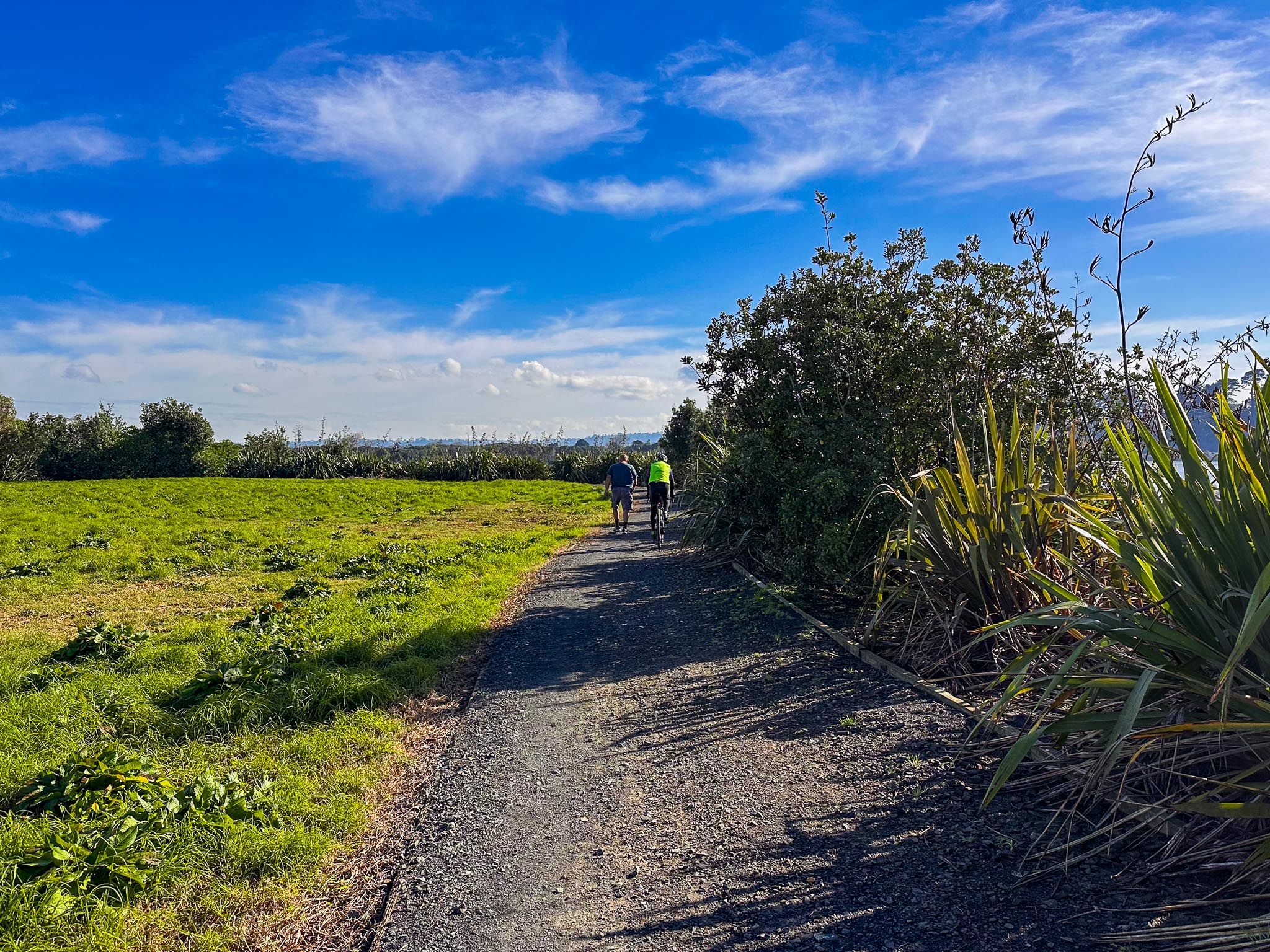
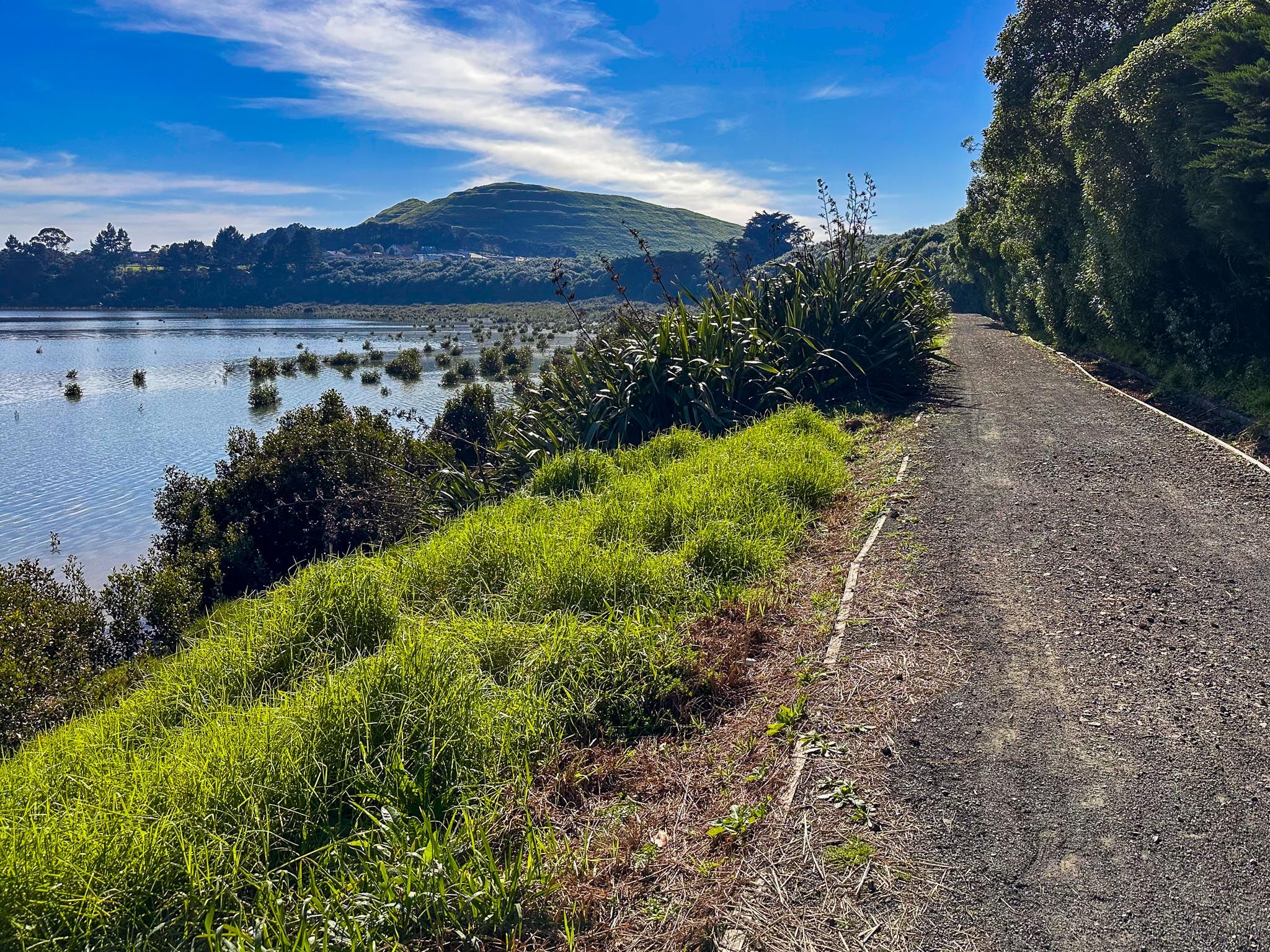
Exploring the Lagoon's Loop Track
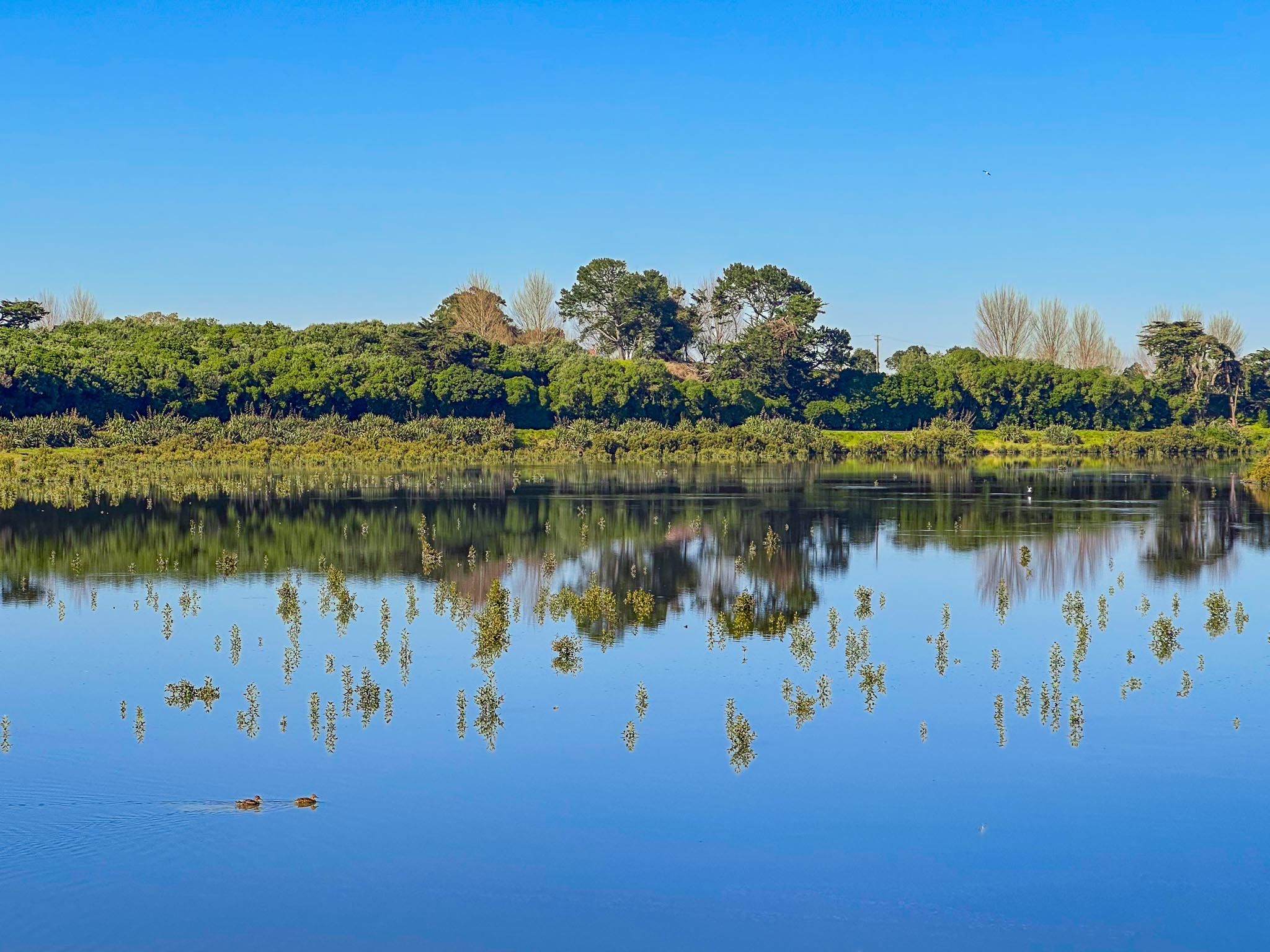
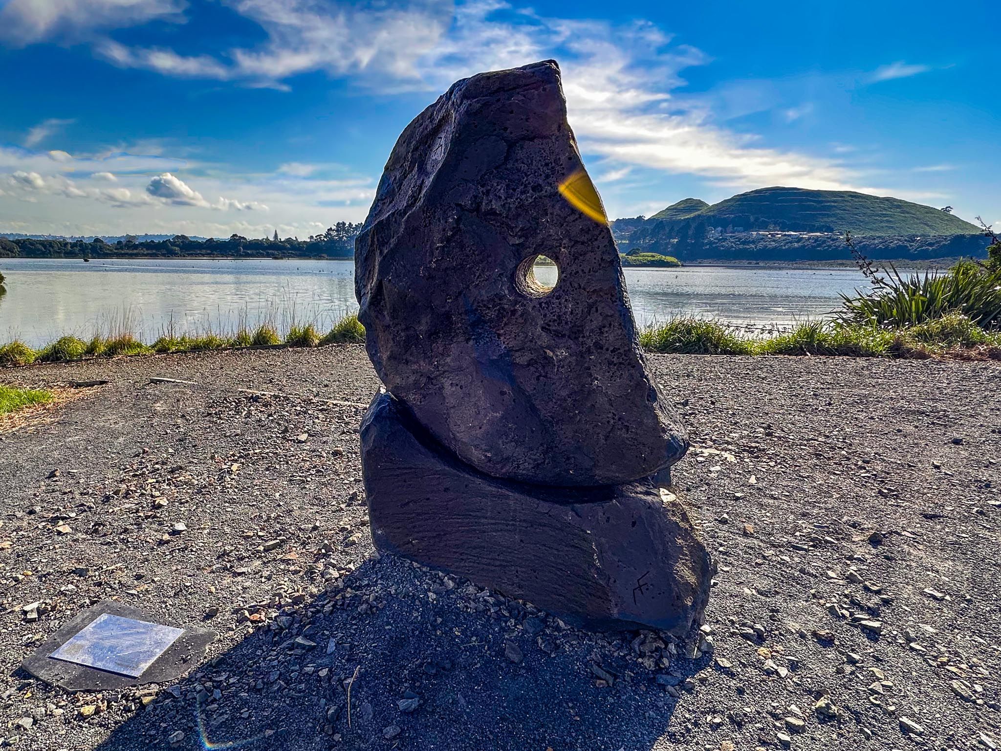
The loop track around Māngere Lagoon is a gentle 1.6 km circuit. On calm days, the water mirrors the sky and the surrounding bush. As you walk, you may see birds foraging in the mudflats or perched along the edges. Interpretive signs along the track provide insights into the lagoon's geological and cultural significance.
Cultural and Historical Significance
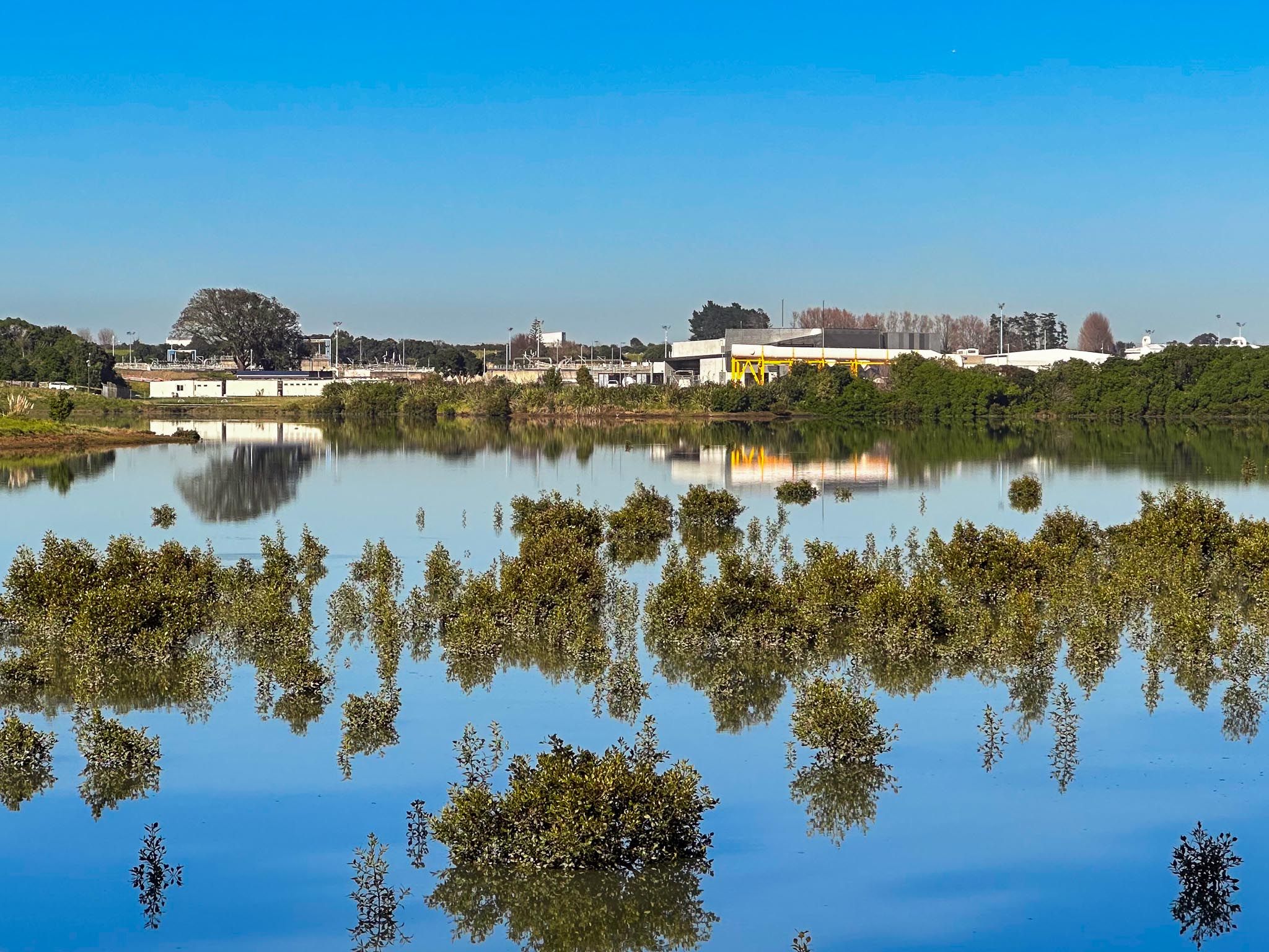
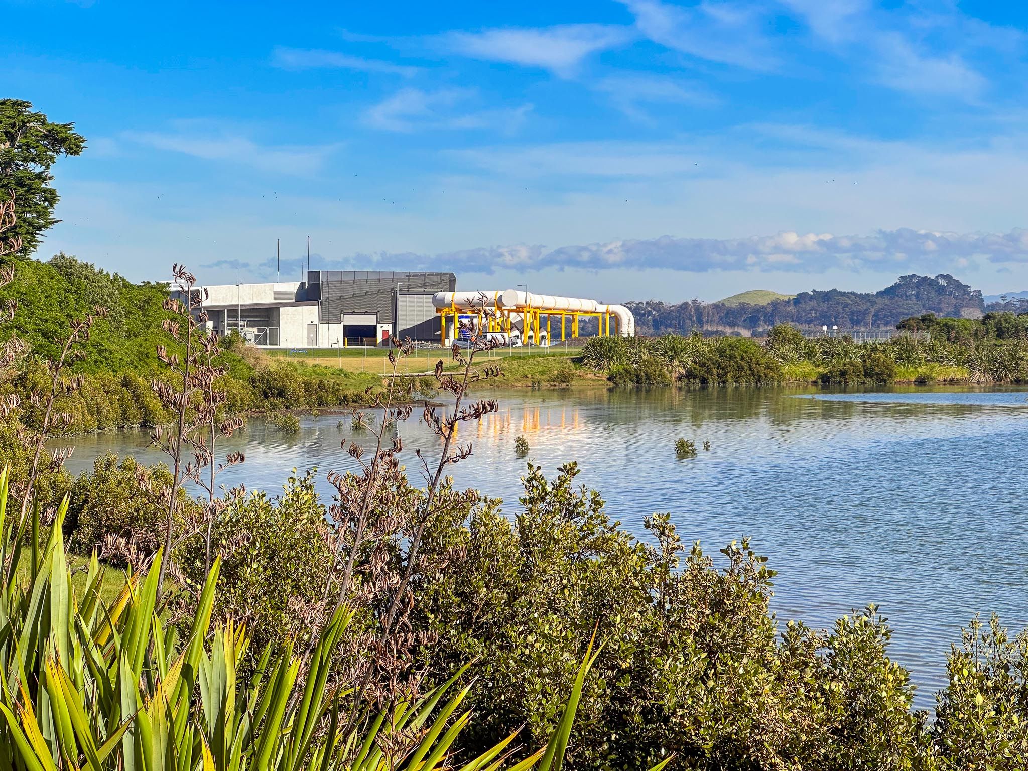
Māngere Lagoon was important to Māori as a site for food gathering and seasonal settlement. Archaeological evidence indicates past habitation along the crater's rim. In the 1900s, the lagoon was converted to pasture and later served as a sewage oxidation pond. Recent efforts by Watercare have reconnected it to the sea and restored its natural systems, showcasing urban environmental rehabilitation.
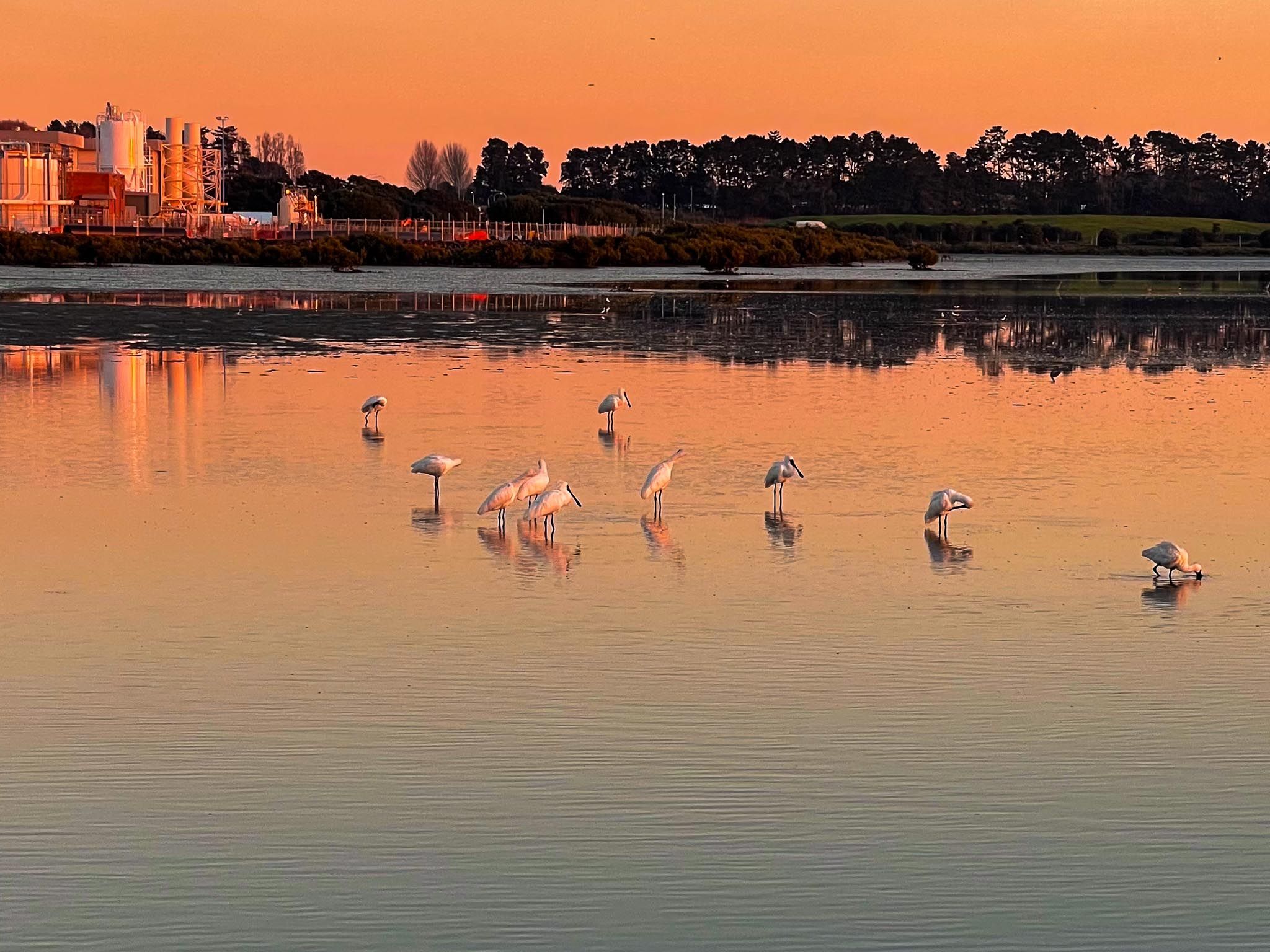
Wildlife and Environmental Initiatives
The lagoon is part of the Watercare Coastal Walkway, linking Māngere's coastline with recreational tracks and environmental projects. During spring and summer, you can spot kōtuku ngutupapa (royal spoonbills) feeding in the shallows. Tōrea (oystercatchers), kuaka (godwits), and pūkeko are also common along the grassy edges.
Walking Access
To access the Māngere Lagoon loop track, you have two main options. From Ambury Regional Park, walk or cycle the Watercare Coastal Walkway east, passing bird hides and wetlands until you reach the lagoon loop track.
How to Get There
From Downtown Auckland, take the western motorway to the eastern motorway junction. Head south at the Junction (State Highway 20), then continue towards Mangere. Take the first off-ramp onto Mahunga Drive and head west under the bridge on Rimu Road. This becomes Church Road, then turn southwest onto Wallace Road. Follow Wallace Road for several km, past and around Māngere Lagoon, then turn west onto Creamery Road. The car park is at the end of the road.
Nearby, you can also explore Ambury Regional Park, Kiwi Explanae Road, Ngā Hau Māngere Bridge, Māngere Mountain and Puketutu Island.