Exploring the Watercare Coastal Walkway
The Watercare Coastal Walkway in Māngere, Auckland, is a 7 km shared path for walking and cycling that follows the shoreline of Manukau Harbour. This route connects Ambury Regional Park with the Ōtuataua Stonefields Historic Reserve. It is a unique journey through an urban ecological restoration project, providing sweeping views and opportunities to observe wildlife. The walkway was developed by Watercare as part of the decommissioning of old sewage management infrastructure, linking some of Tāmaki Makaurau’s most culturally and ecologically significant sites.
Starting at Ambury Regional Park
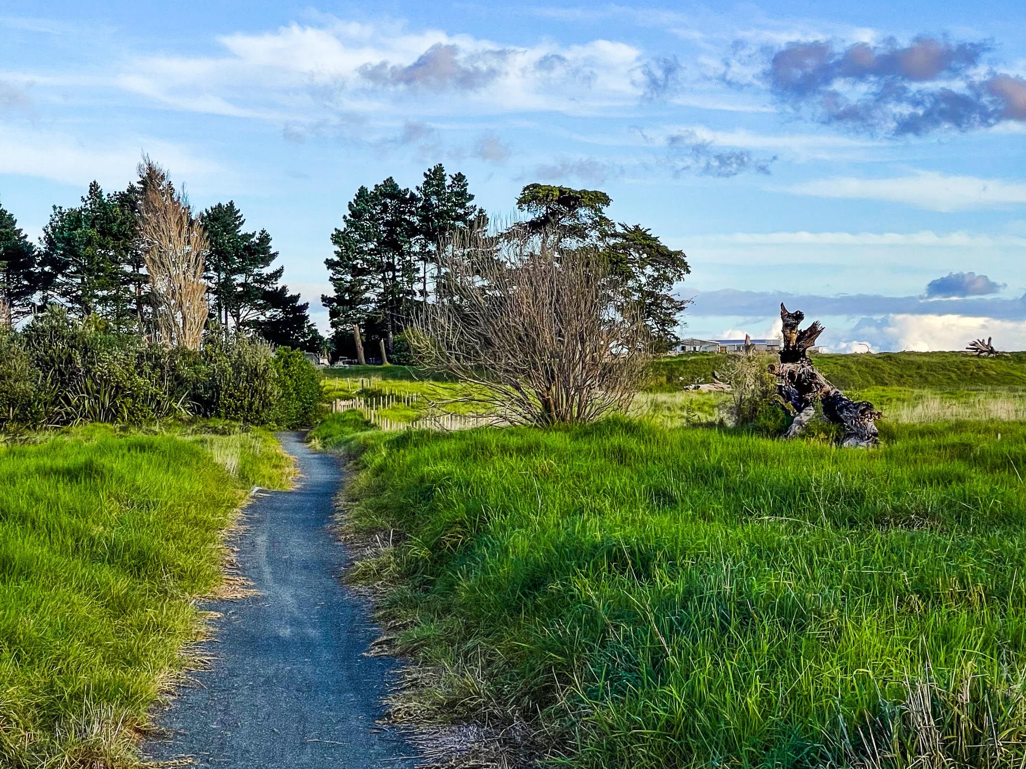
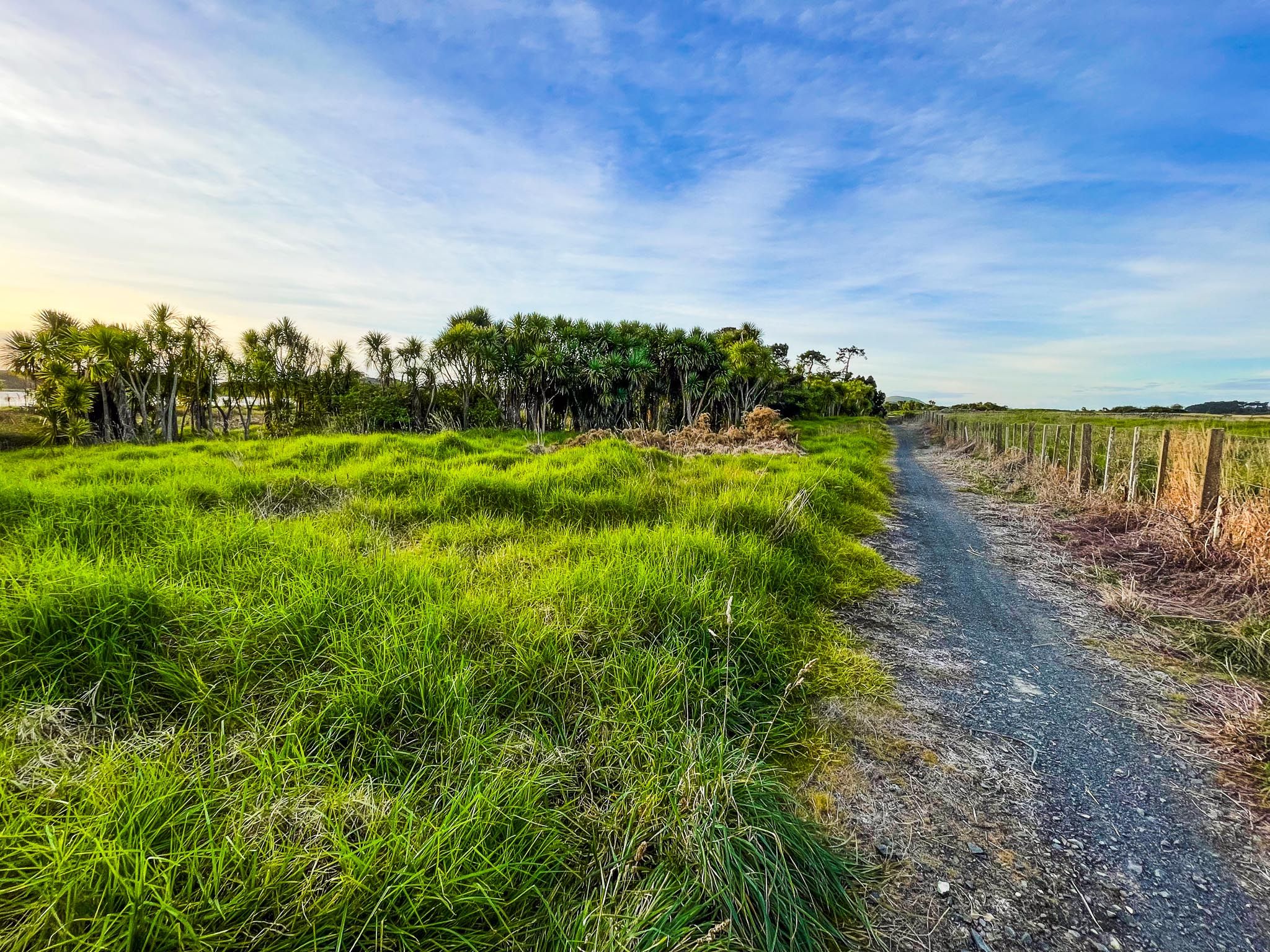
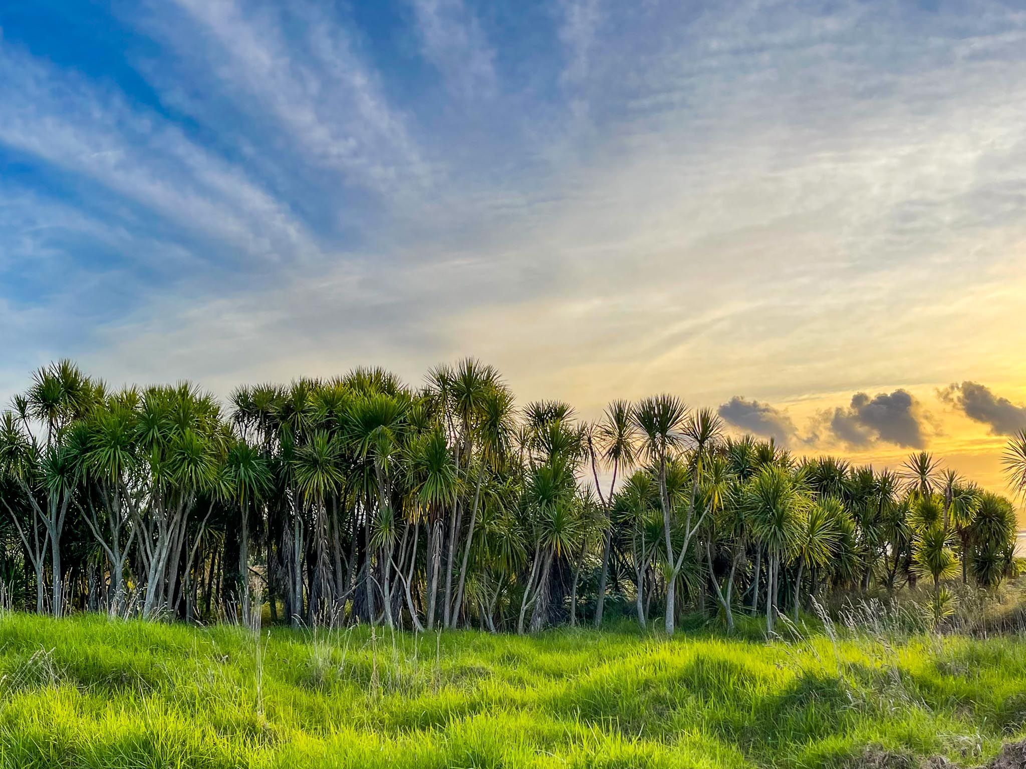
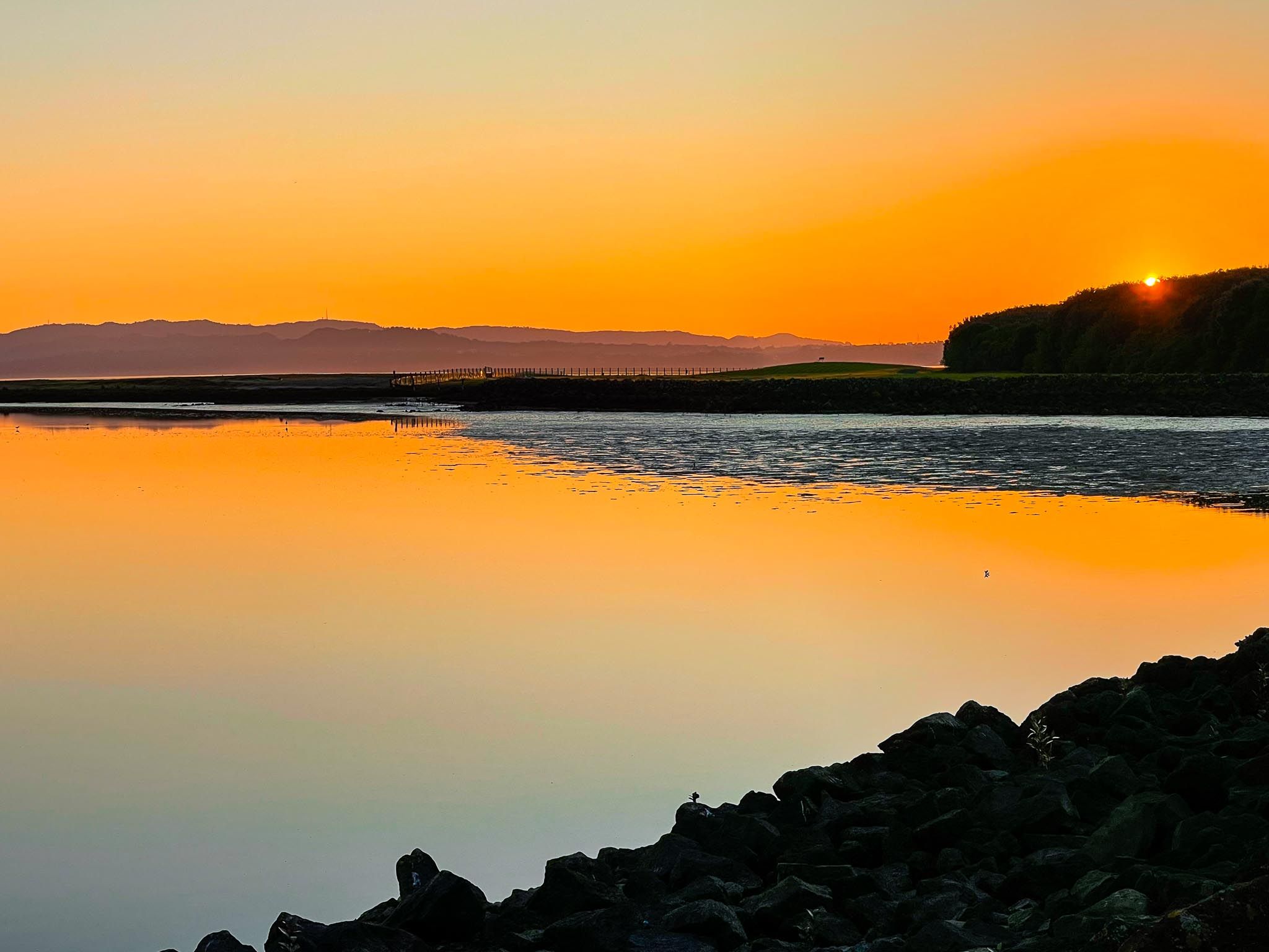
The northern entrance to the walkway is located at Ambury Regional Park. From here, the path extends southward along a flat, well-formed gravel surface, suitable for both walkers and cyclists. As you begin, you'll notice the transition from park pastures to replanted coastal margins and wetland zones. Over 300,000 native trees and shrubs have been planted along the corridor, creating habitats that support native birds and plant species.
Wildlife and Scenic Views
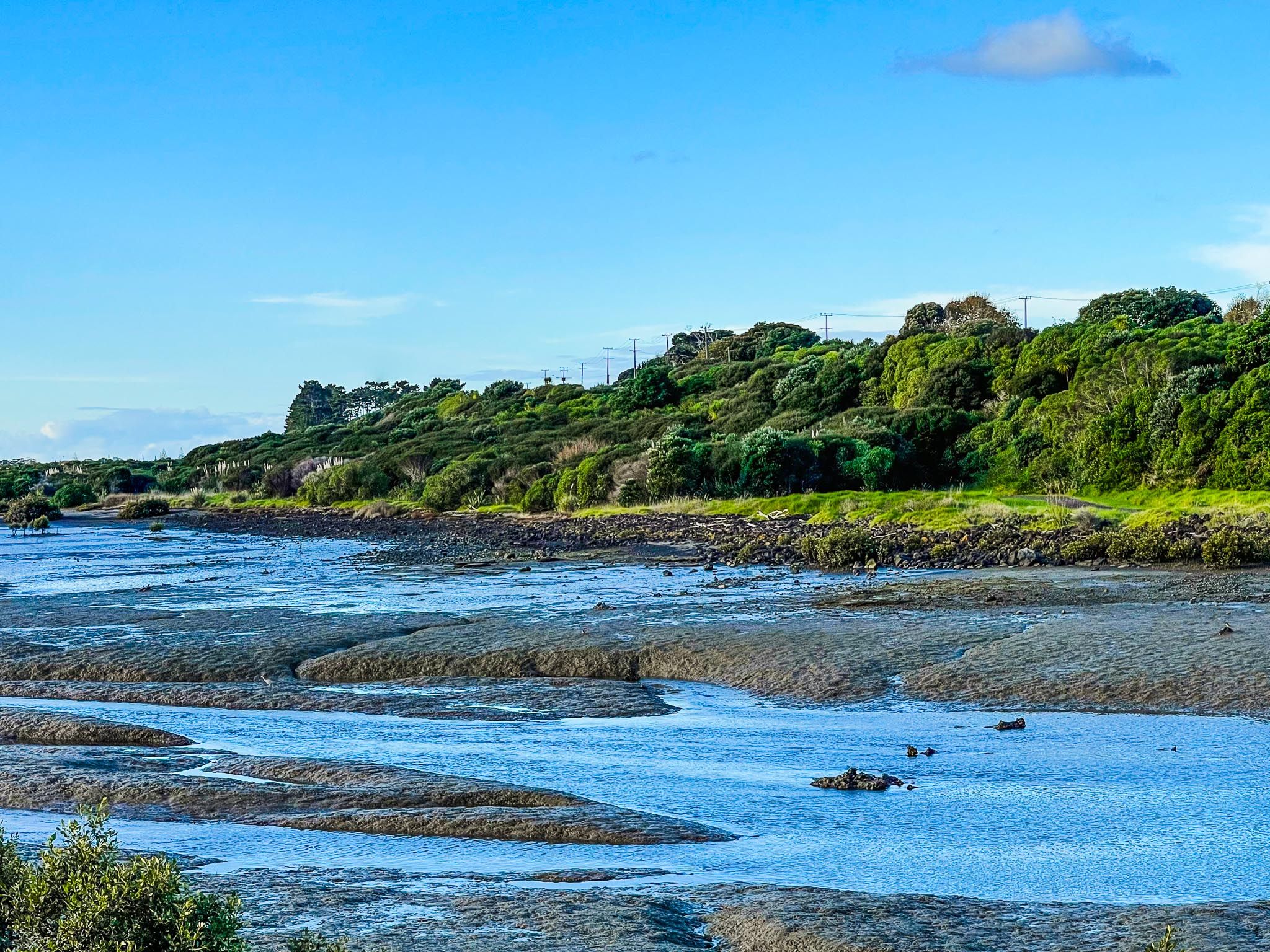
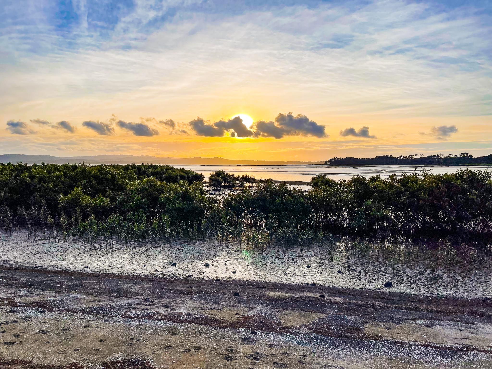
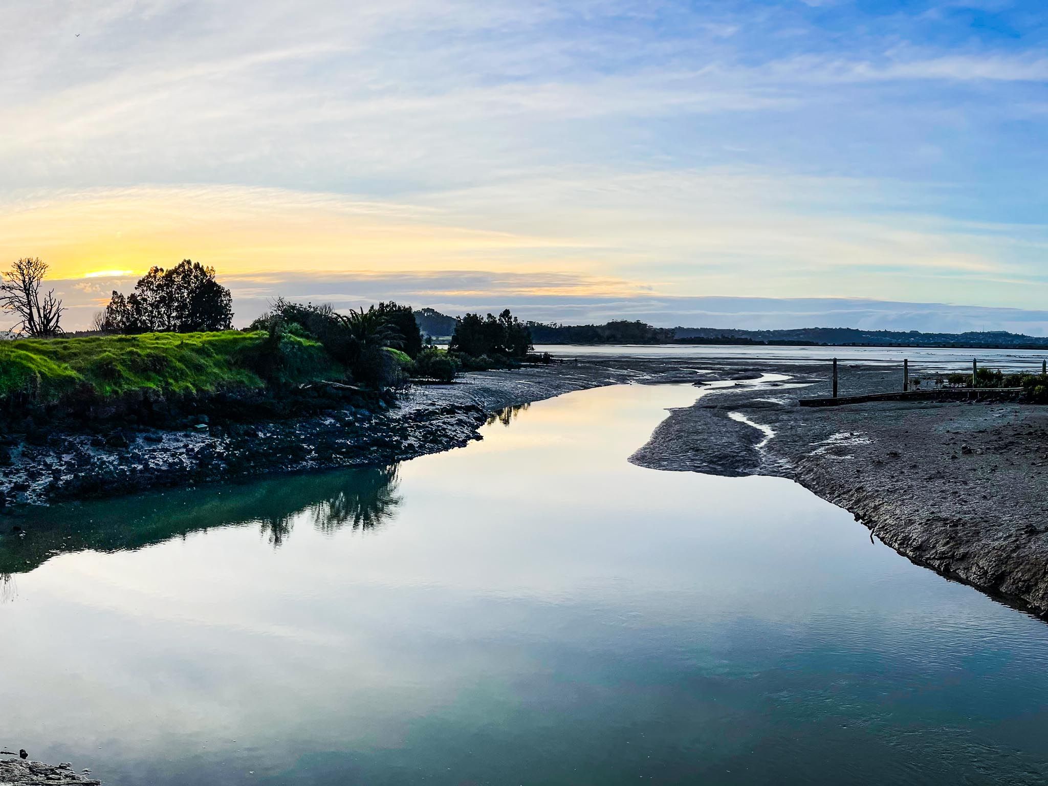
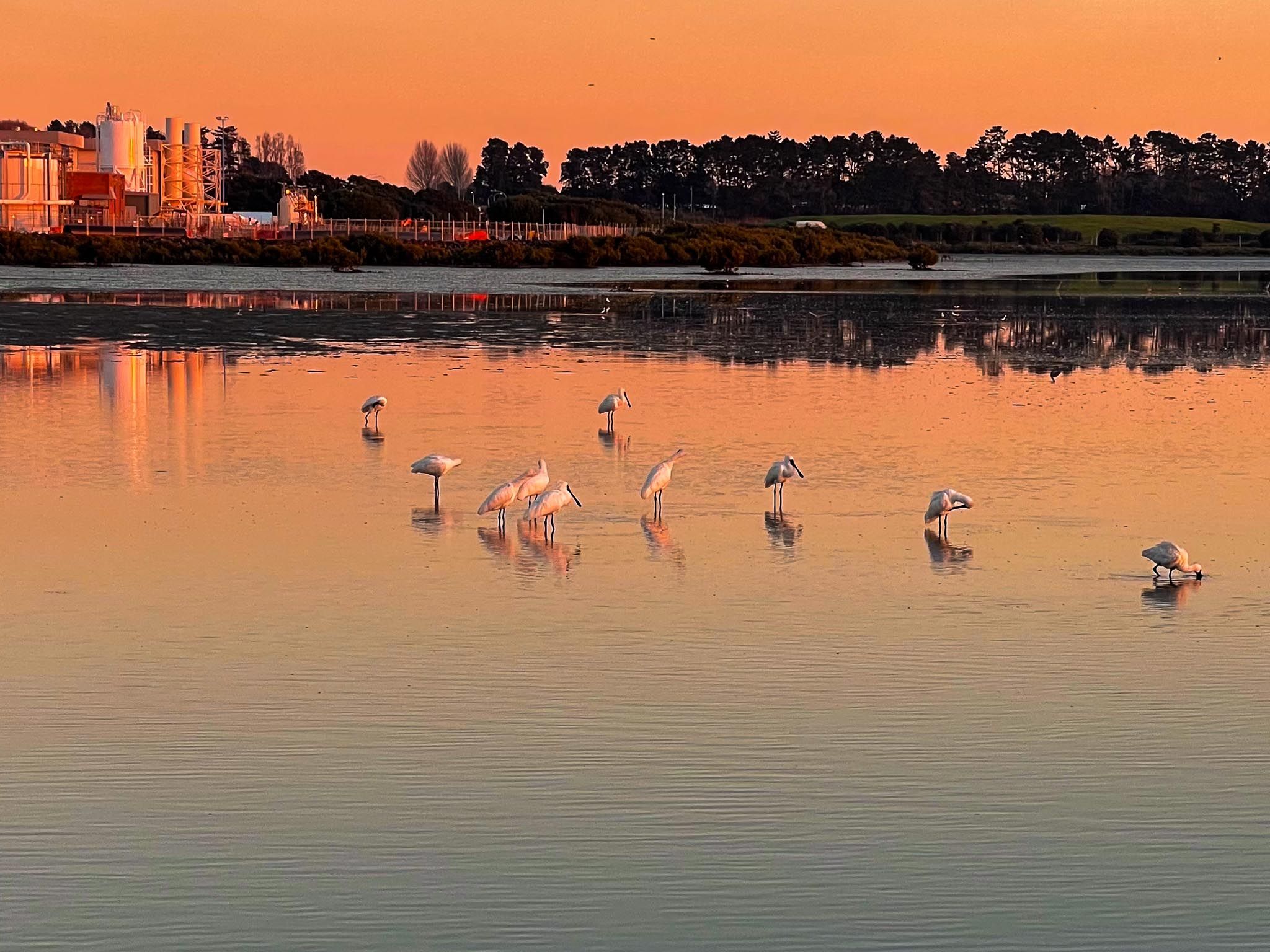
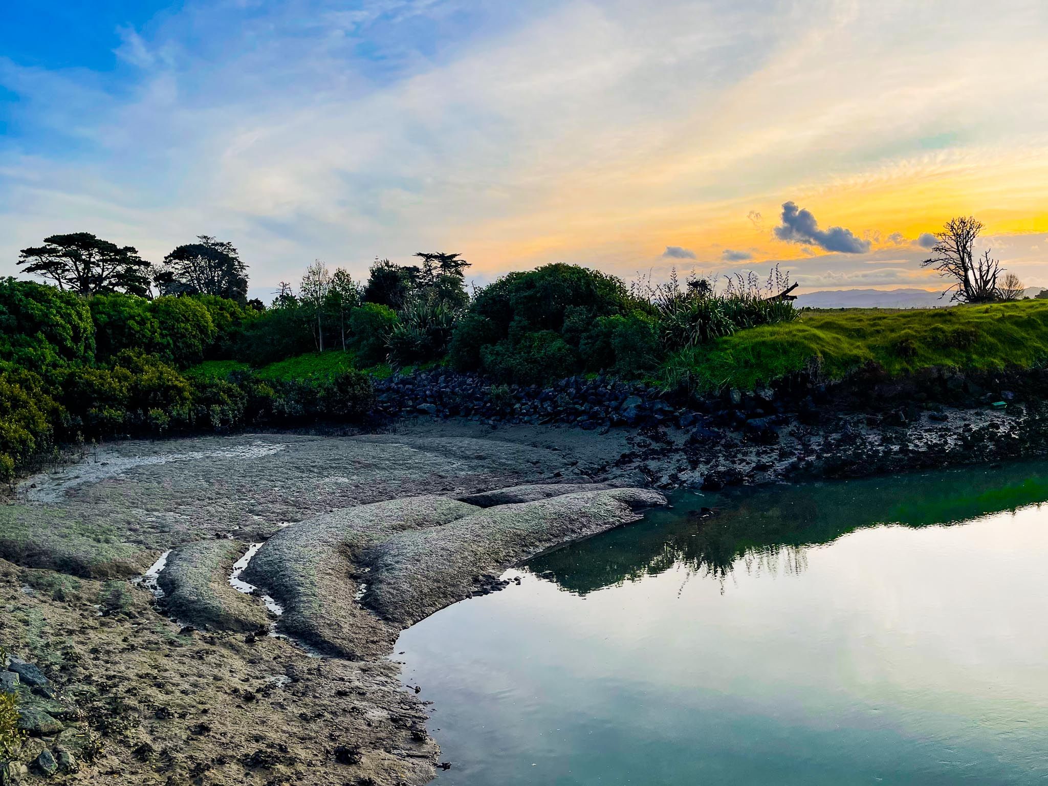
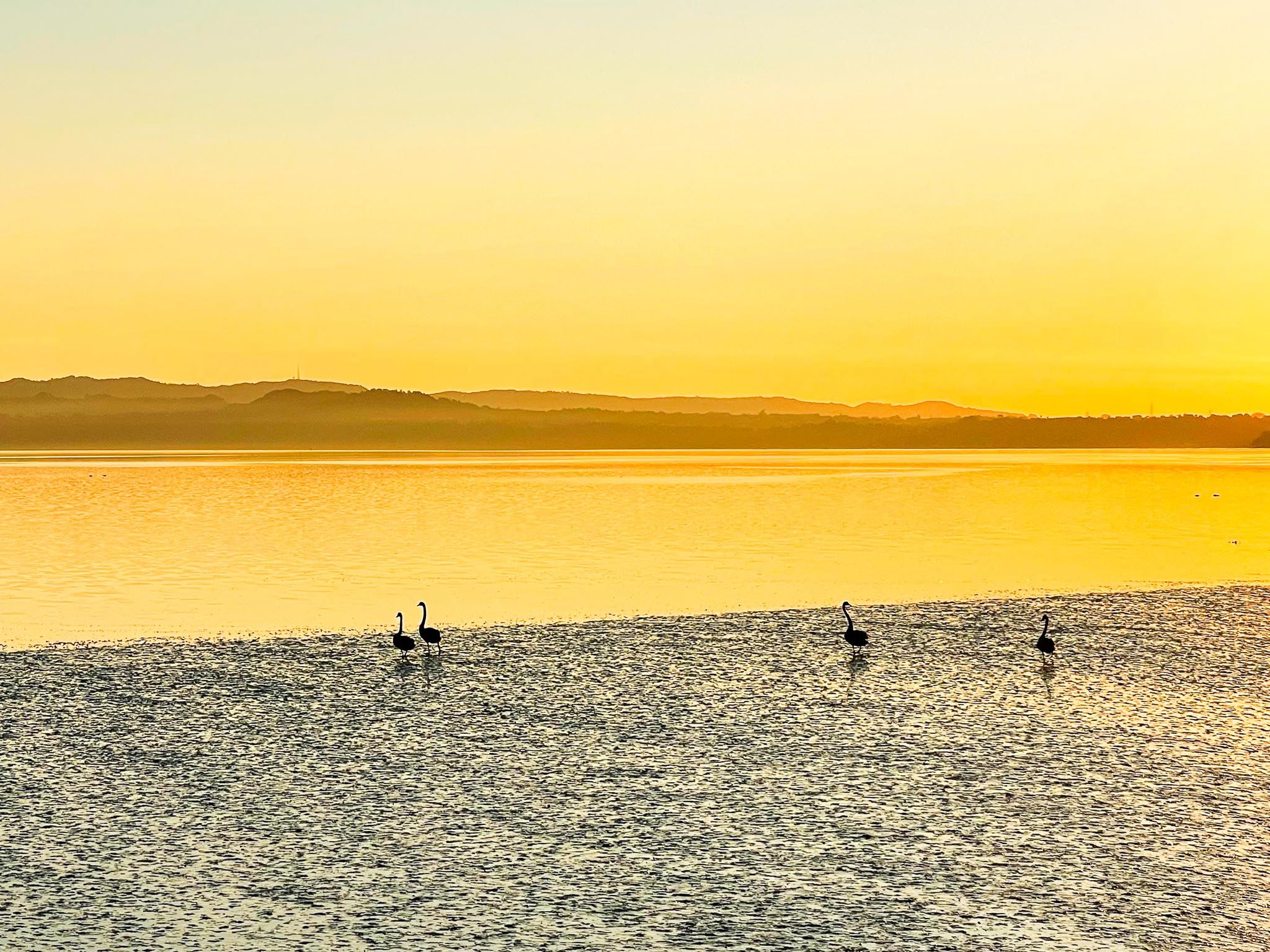
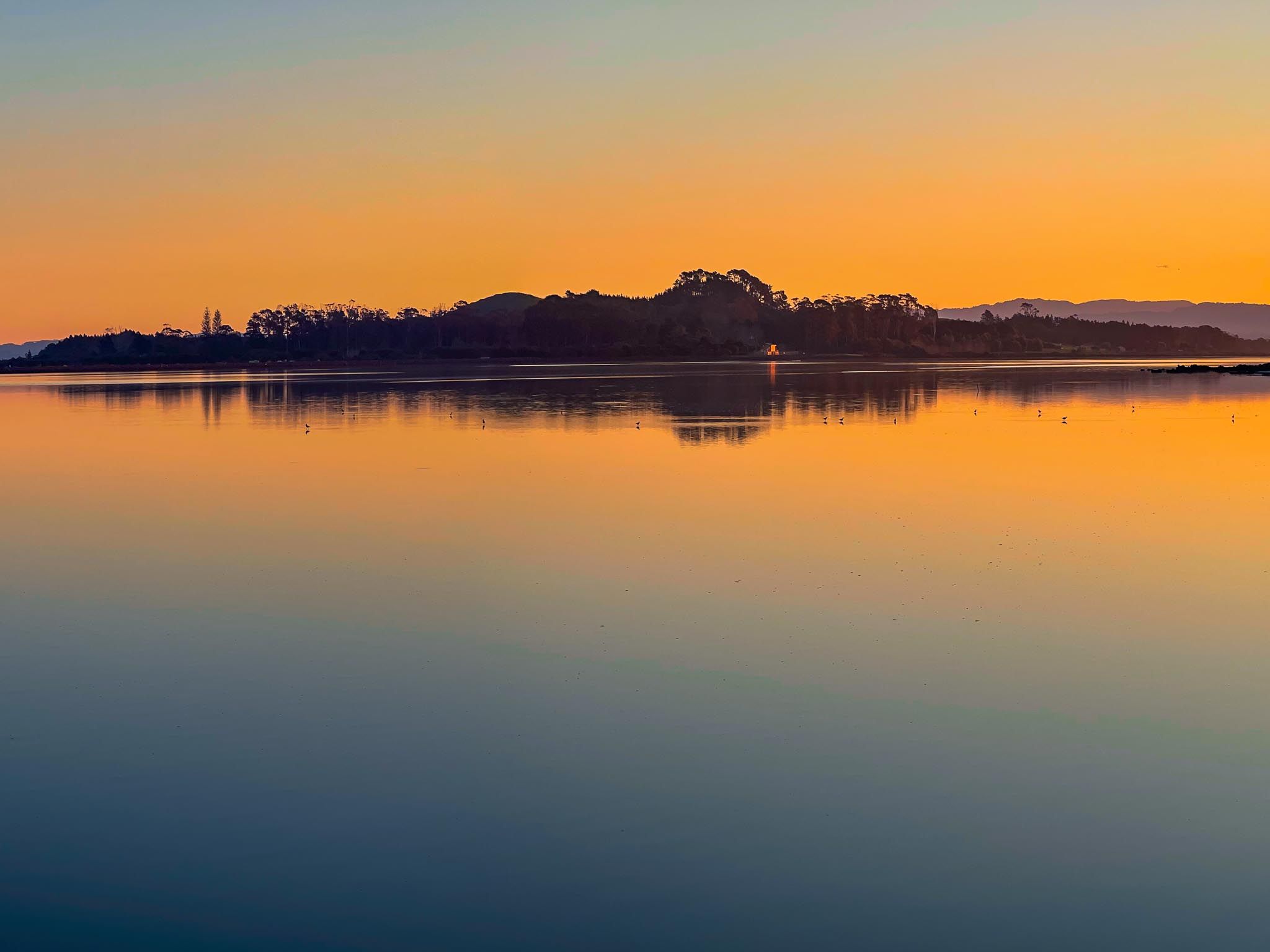
Much of the walkway follows the harbour's edge, with several viewing decks and rest areas where you can pause to admire the tidal flats. These mudflats are alive with wading birds as the tide ebbs and flows. You might spot kōtuku ngutupapa (royal spoonbills), tōrea (oystercatchers) and kuaka (godwits).
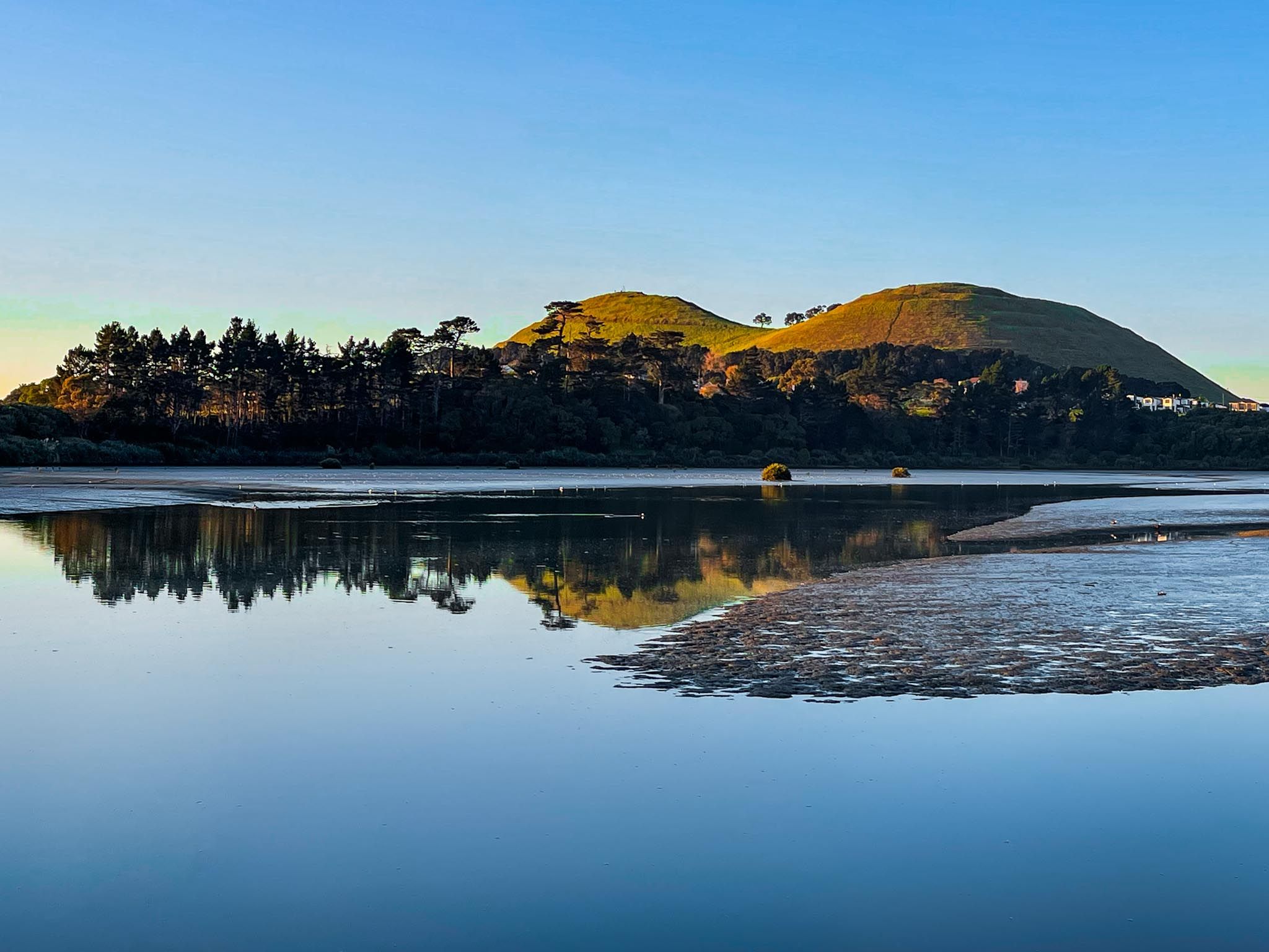
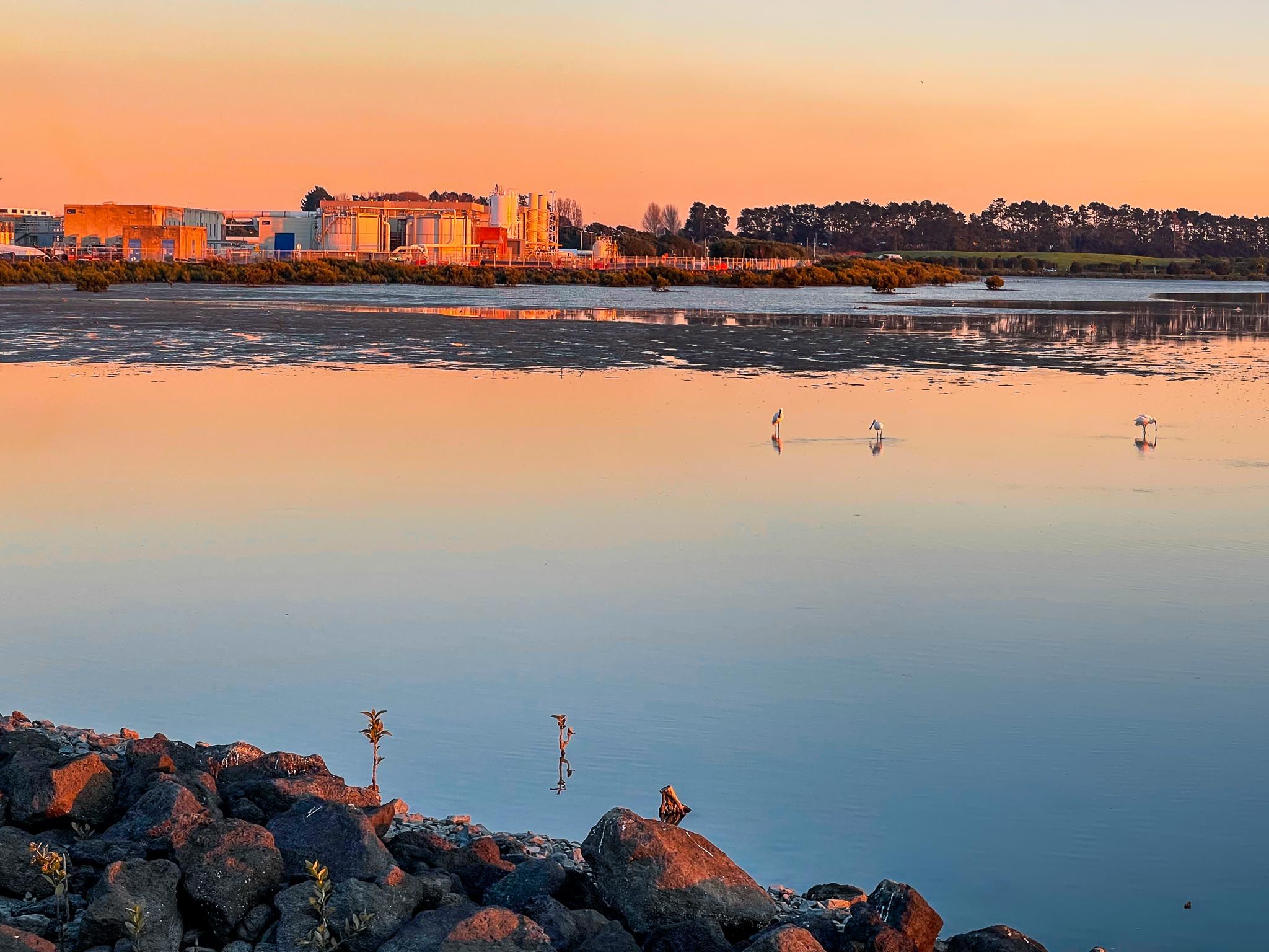

Māngere Lagoon and Puketutu Island
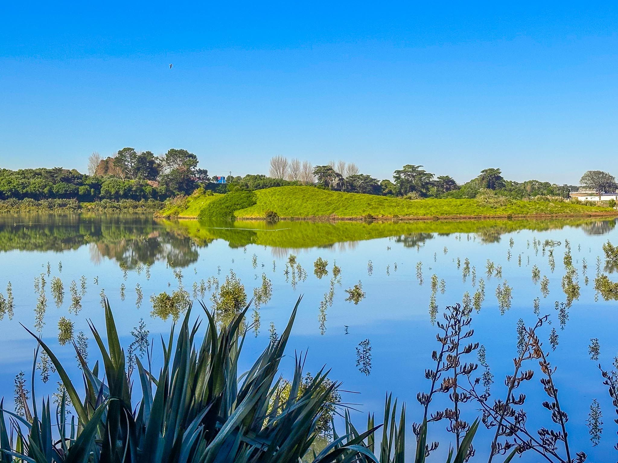
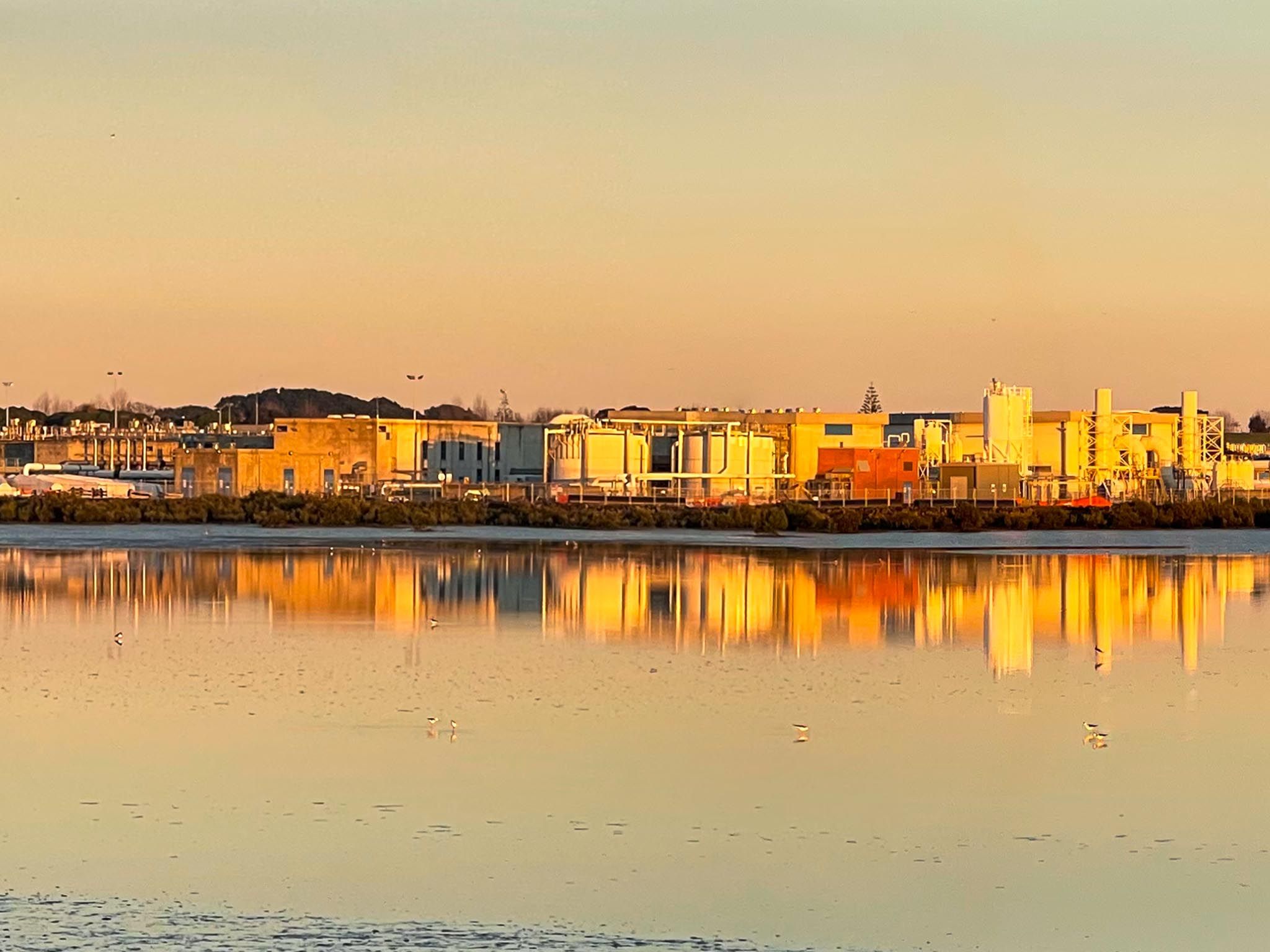
A short detour east from the main path leads to Māngere Lagoon, a tidal lagoon within a volcanic crater. Once part of the wastewater system, it has been transformed into a natural wetland, showcasing successful urban wetland rewilding in New Zealand.
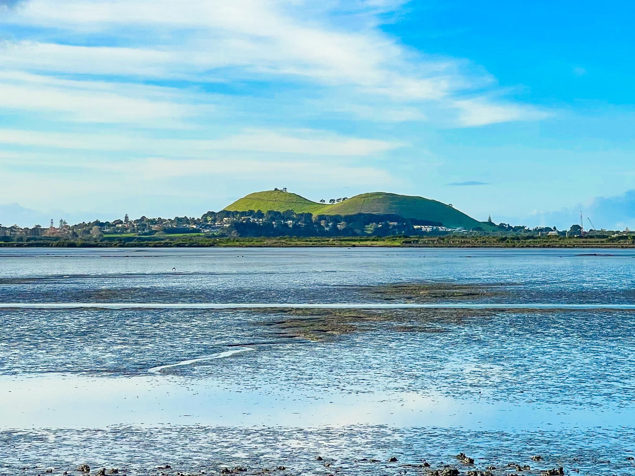
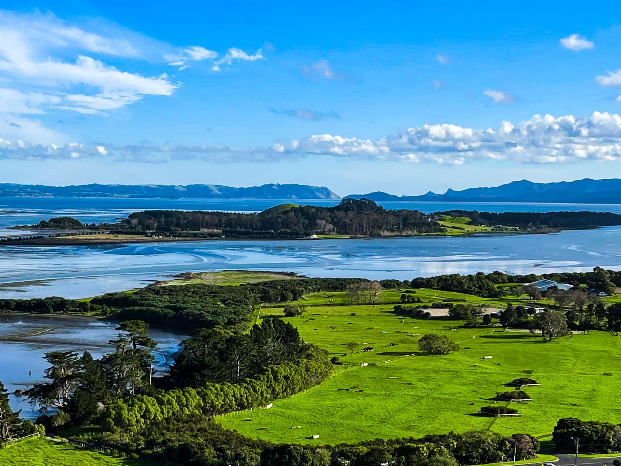
Continuing south, you'll see Puketutu Island, connected to the mainland by a causeway, with more old wastewater areas now rich with water birds. The island is culturally important to local iwi and is the focus of ongoing restoration efforts.
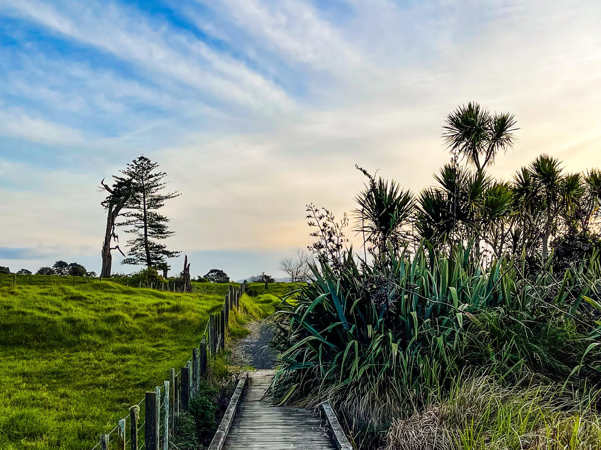
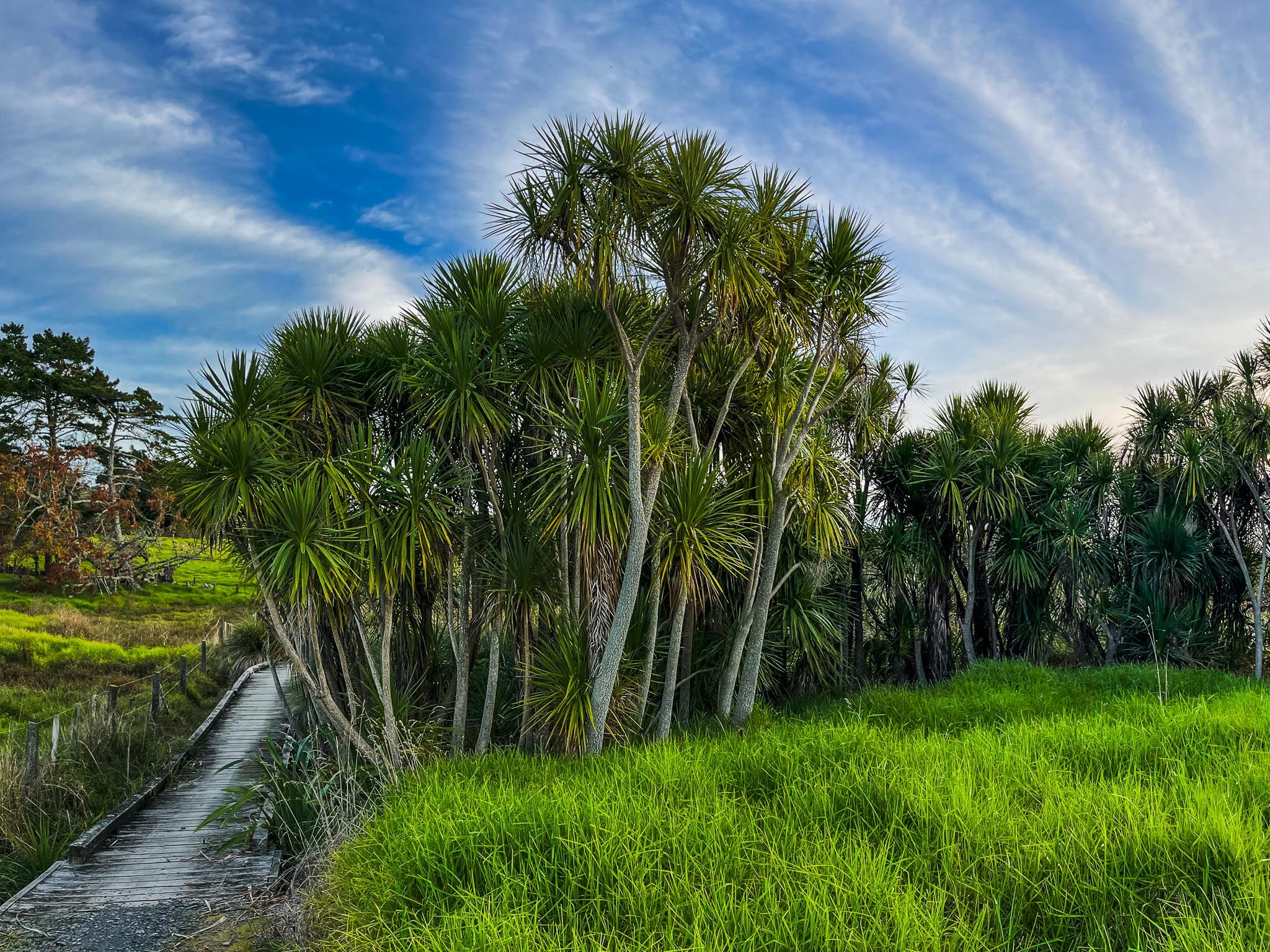
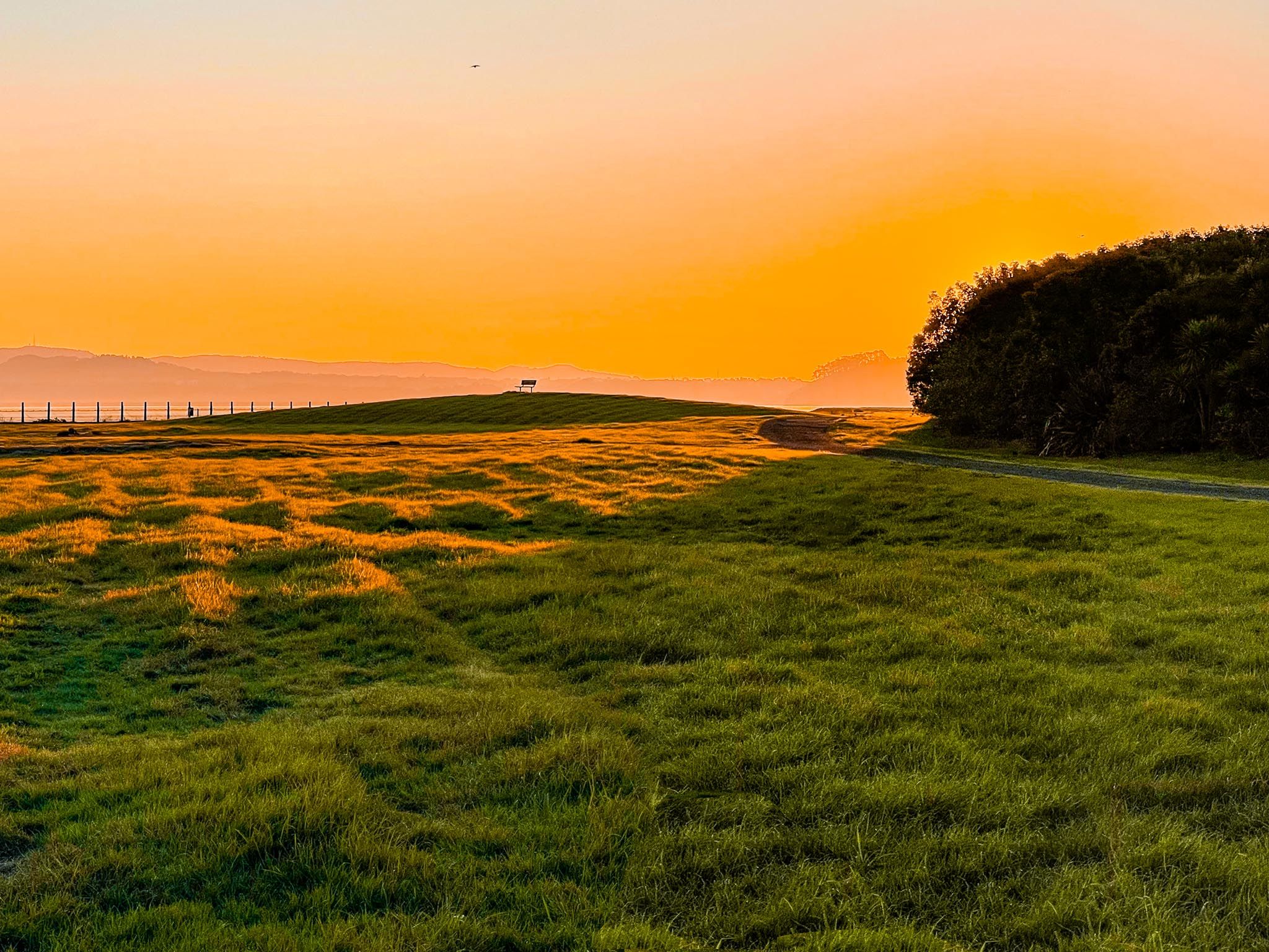
Quiet Southern Path and Ōtuataua Stonefields
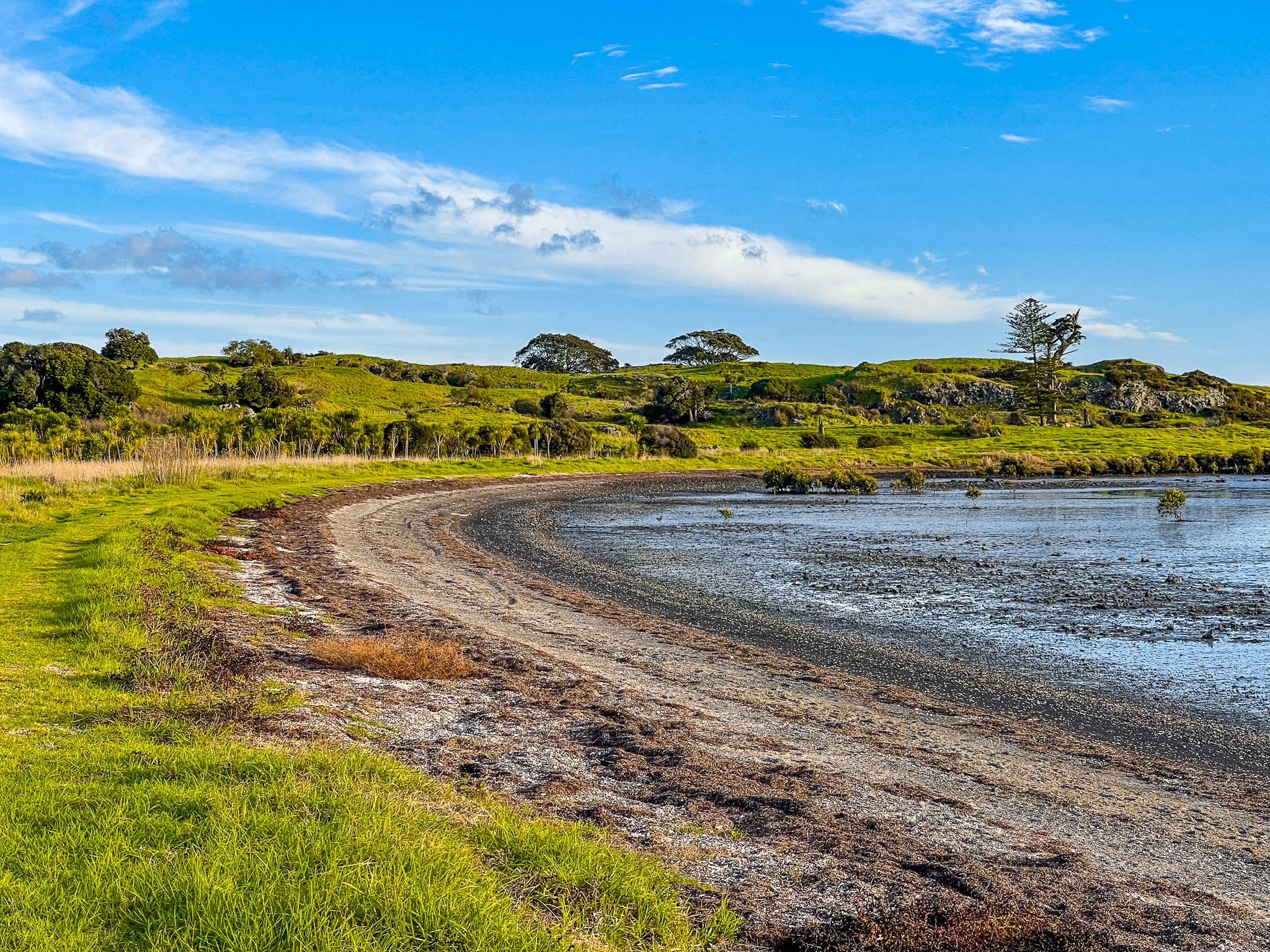
The path rejoins the main coastal route south of the lagoon, passing through open grassland and low-growing native bush. This quieter section offers a sense of remoteness, despite being within Auckland's city limits. It's an excellent spot to observe large flocks of seabirds, especially in spring and summer, when migratory species return.
The southern end of the path reaches the Ōtuataua Stonefields Historic Reserve, a significant archaeological and cultural site. Here, walking tracks loop around historic stone field gardens and volcanic cones, with insights into early Māori and European settlement and horticulture.
How to Get There
To access the northern end of the walkway, head to the end of Ambury Road near the main entrance to Ambury Regional Park. For the southern access point, use Orurangi Road.
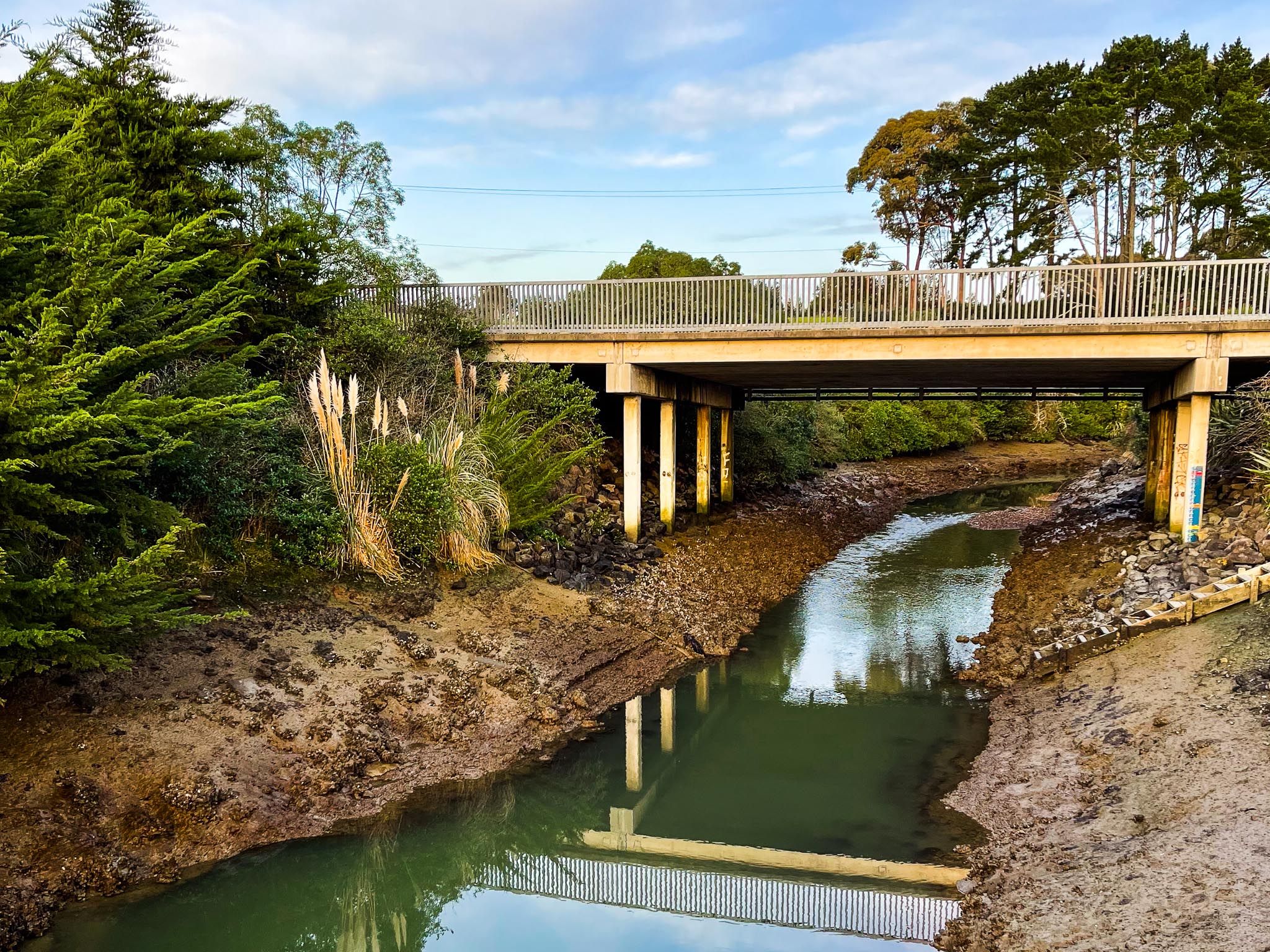
Additionally, a shared track runs north from the regional park entrance, connecting with Kiwi Esplanade Road and Ngā Hau Māngere Bridge for a longer coastal tour. From the Ōtuataua Stonefields Historic Reserve, you can walk down Ihumatao Road to Maunga-taketake / Elletts Beach or Renton Road to Ō Whata / Renton Beach, or return north along the same path.