Discovering Puketutu Island / Te Motu a Hiaroa
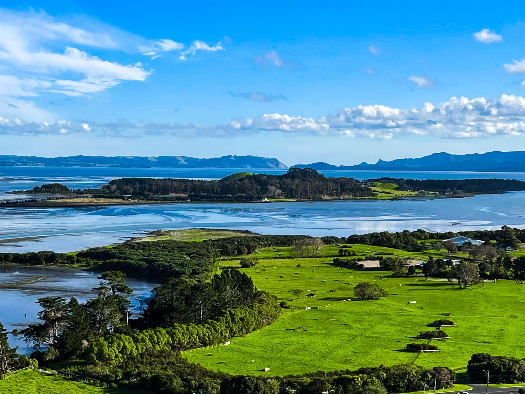
Puketutu Island, also known as Te Motu a Hiaroa, is located in the Manukau Harbour and is accessible from the Auckland suburb of Māngere via a causeway. This dormant volcanic island, formed approximately 18,000 years ago, is a glimpse into both natural history and Māori culture. Rising sea levels around 7,000 years ago transformed it from a land-bound area into an island.
Cultural and Historical Significance
The island’s dual names reflect its rich heritage. "Puketutu" refers to its hills and the native tutu shrub, while "Te Motu a Hiaroa" honours a Māori ancestor who arrived with the Tainui waka about 800 years ago.
Historically, the island featured several volcanic cones and hills that served as bases for pā and tuahu (altars). The fertile soil, akin to that at the nearby Ōtuataua Stonefields, supported the cultivation of kūmara and other crops. Puketutu Island was a centre for traditional Māori knowledge and practices and remains sacred to the Tainui and Te Waiohua iwi and related hapū.
European Settlement and Development
In 1846, Dr Henry Weekes settled on the island, inspired by the tale of Robinson Crusoe. Supported by local Māori, he built a whare and later a European-style house. Despite his efforts, Weekes' attempts at farming were unsuccessful, leading him to sell the island.
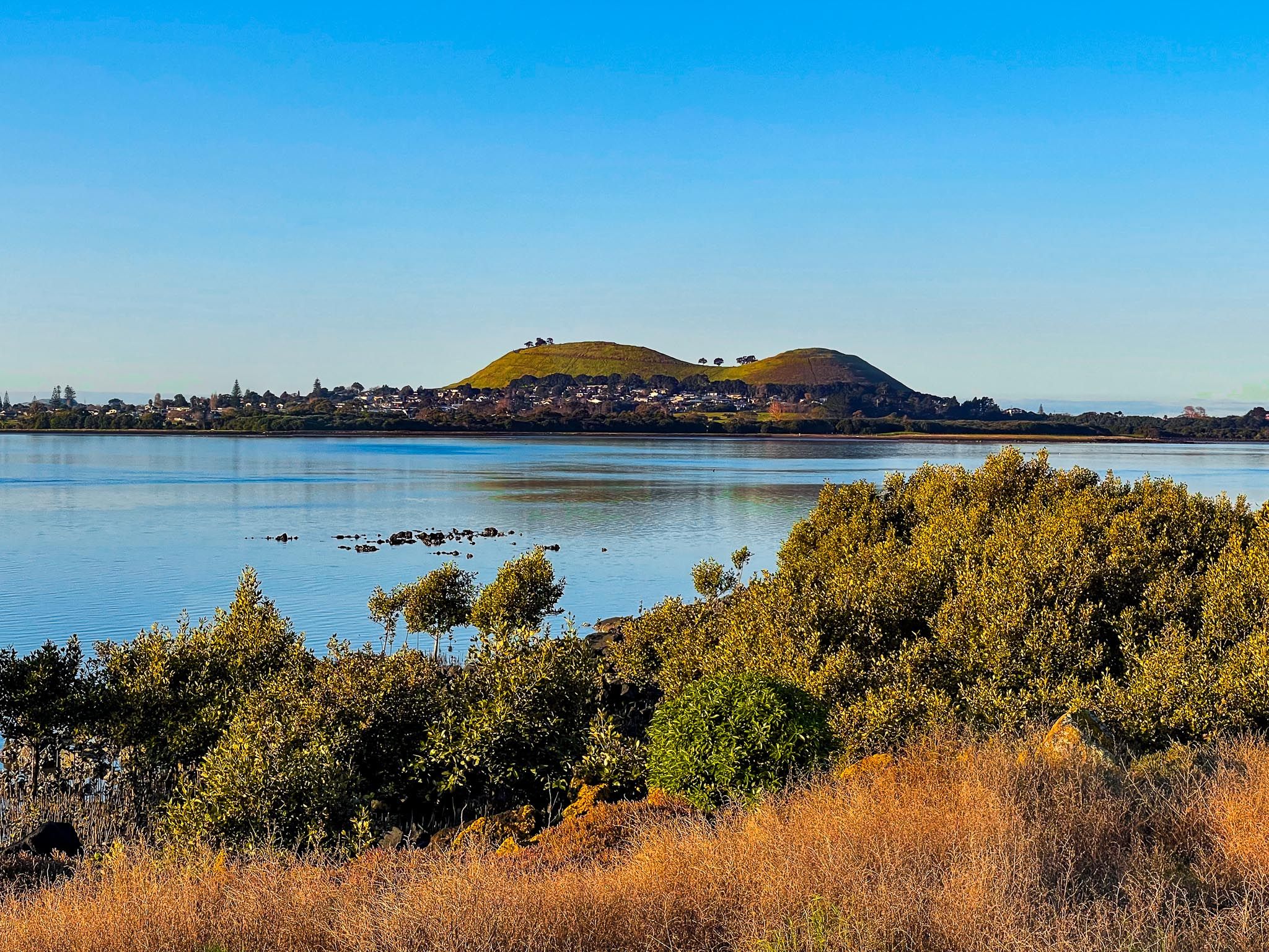
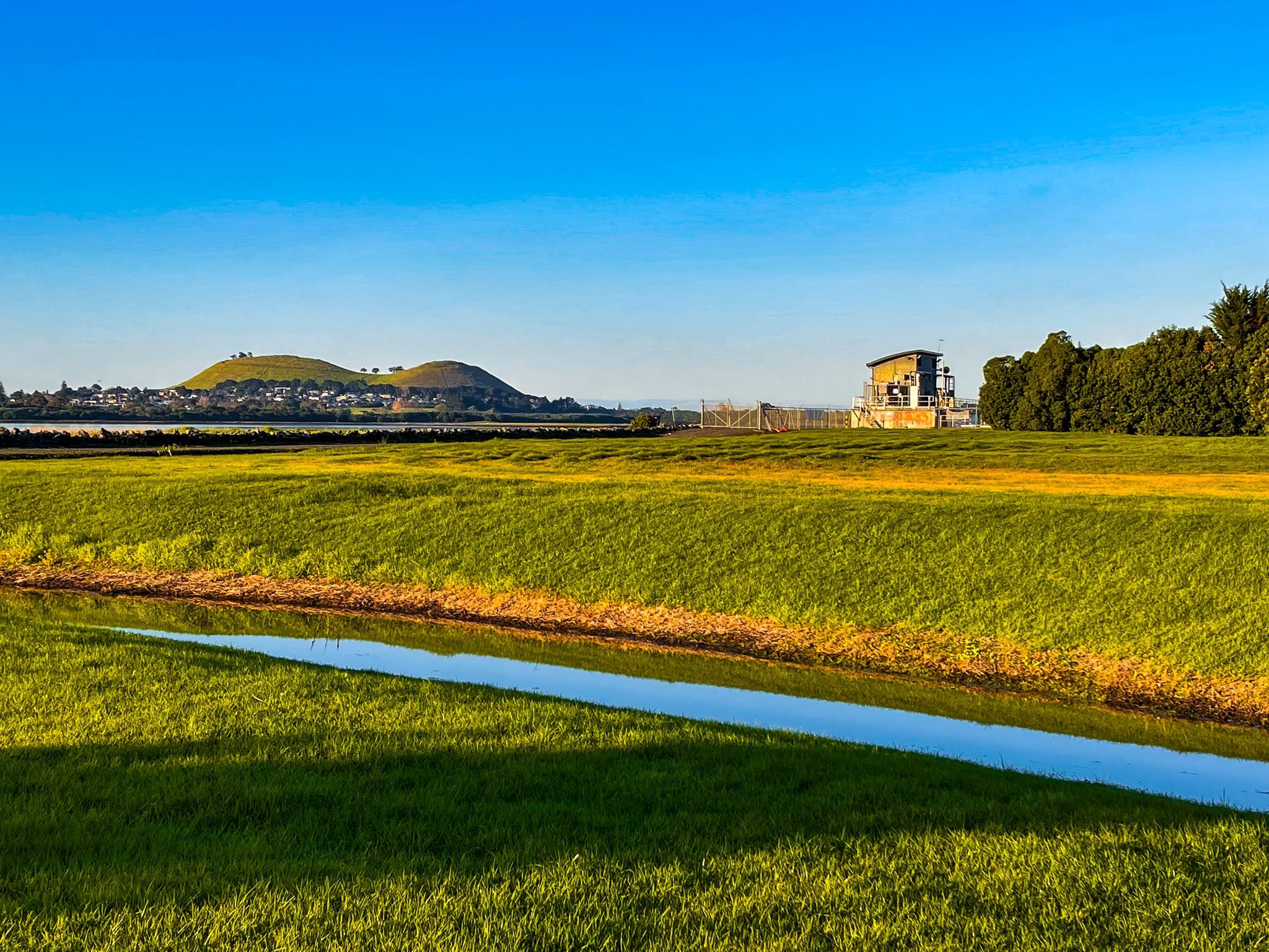
In the 1950s, Sir Henry Kelliher, a founder of Dominion Breweries, acquired the island. He used it as a private residence and stud farm, raising champion bulls and racehorses. During this time, several peaks were quarried to provide fill for Auckland Airport and the Māngere wastewater ponds, leaving only the highest peak visible today.
Restoration and Public Access
Following Kelliher's death in the 1990s, efforts began to restore the island. The Kelliher Charitable Trust proposed using biosolids from the Māngere wastewater treatment plant to rehabilitate the island. Watercare later acquired the island and transferred ownership to the Te Motu a Hiaroa (Puketutu Island) Charitable Trust, which represents 13 iwi and hapū. The trust focuses on ecological restoration, cultural renewal, and increasing public access.
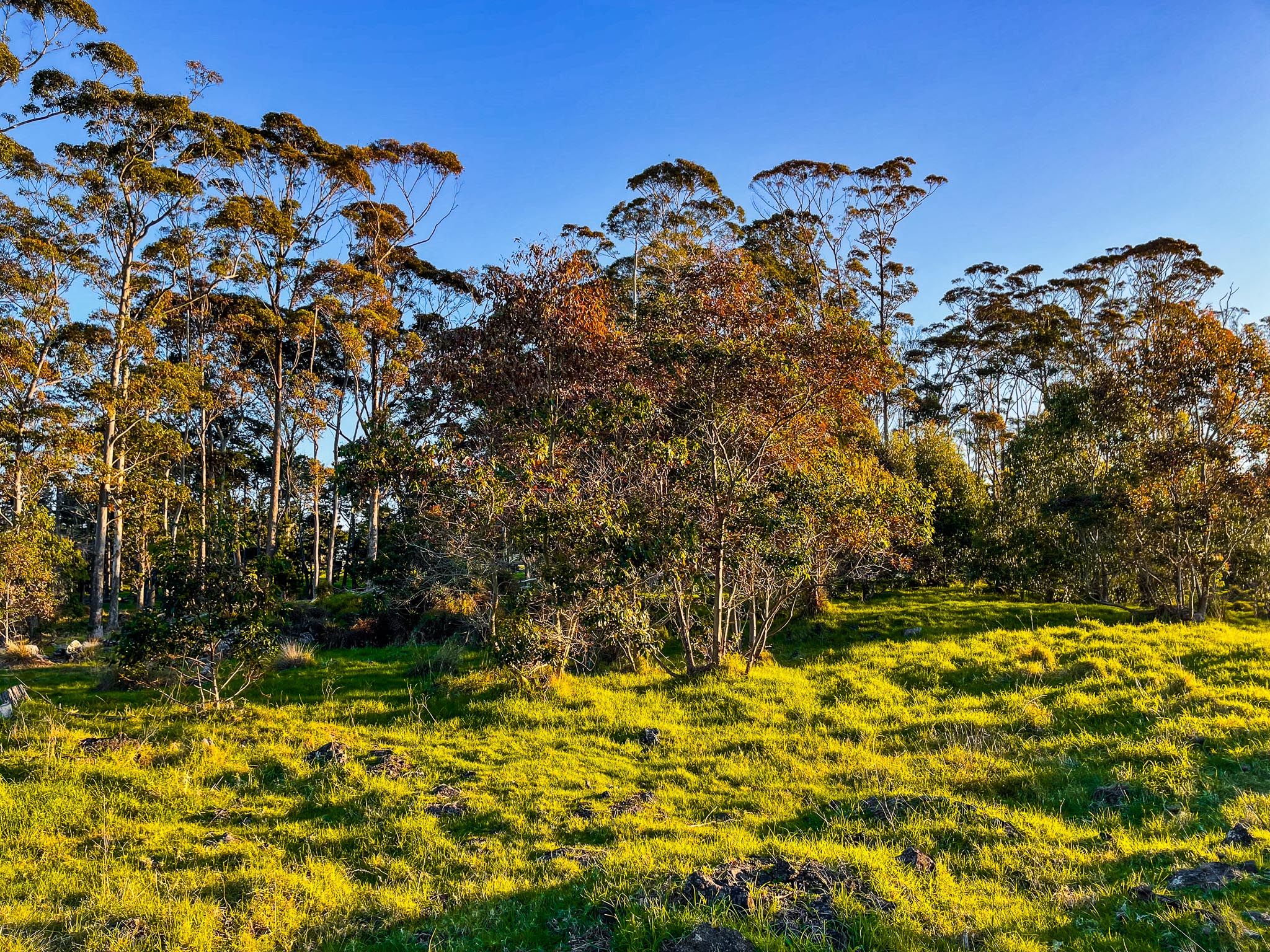
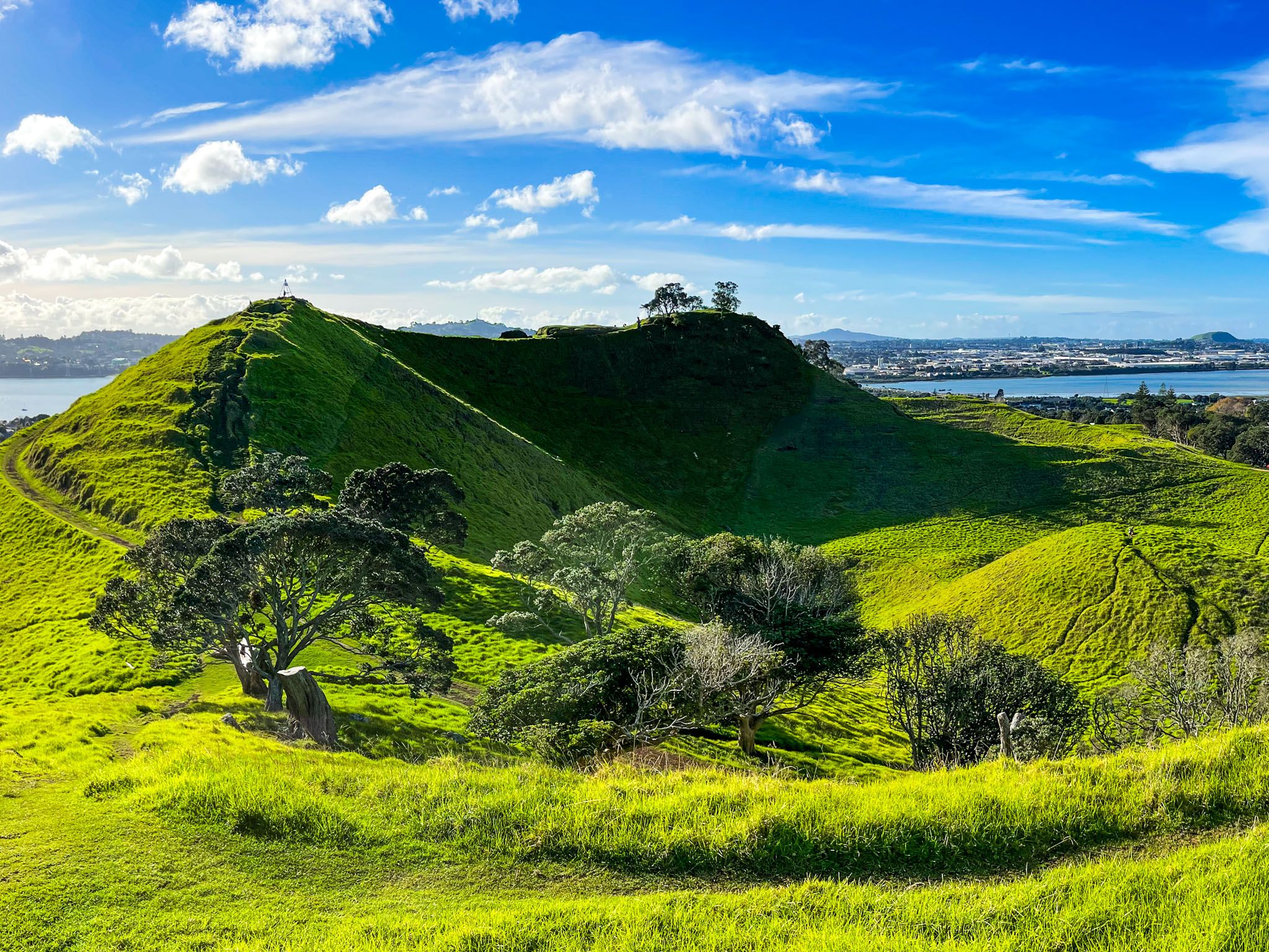
Exploring the Island
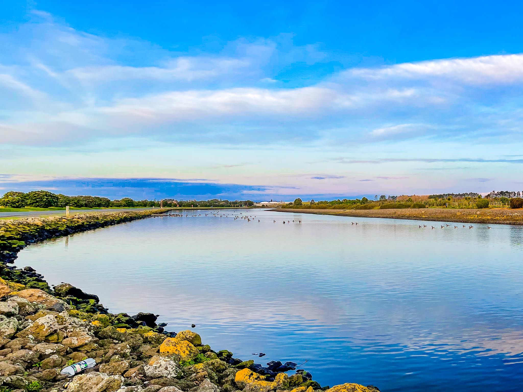
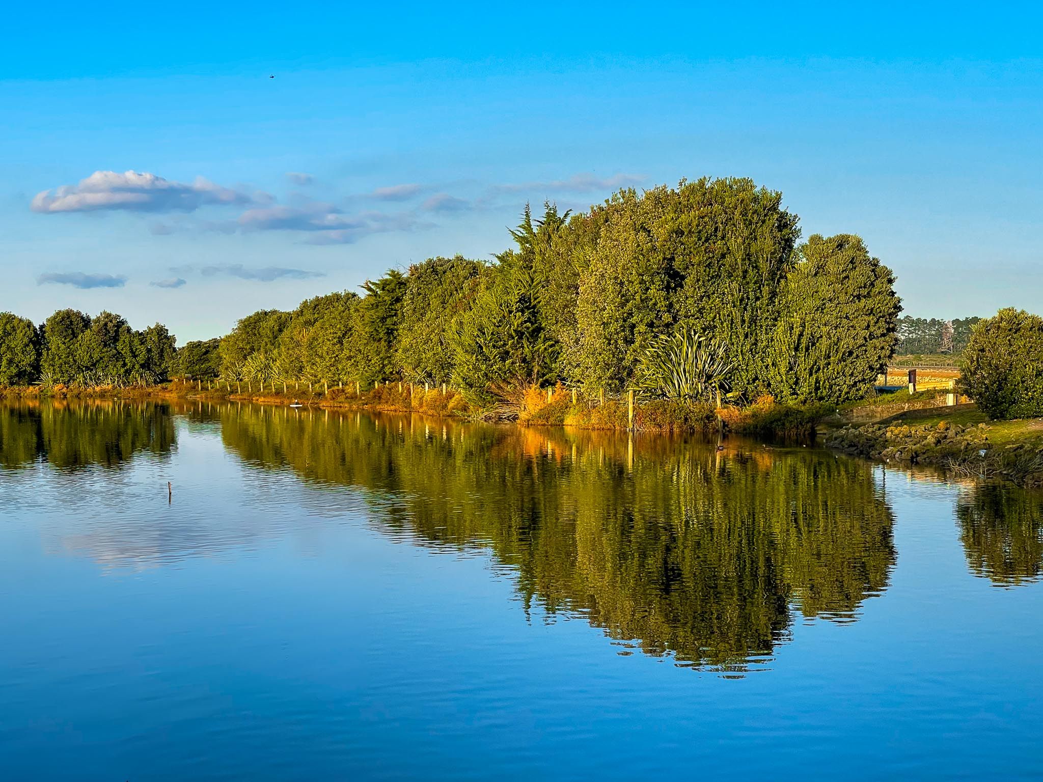
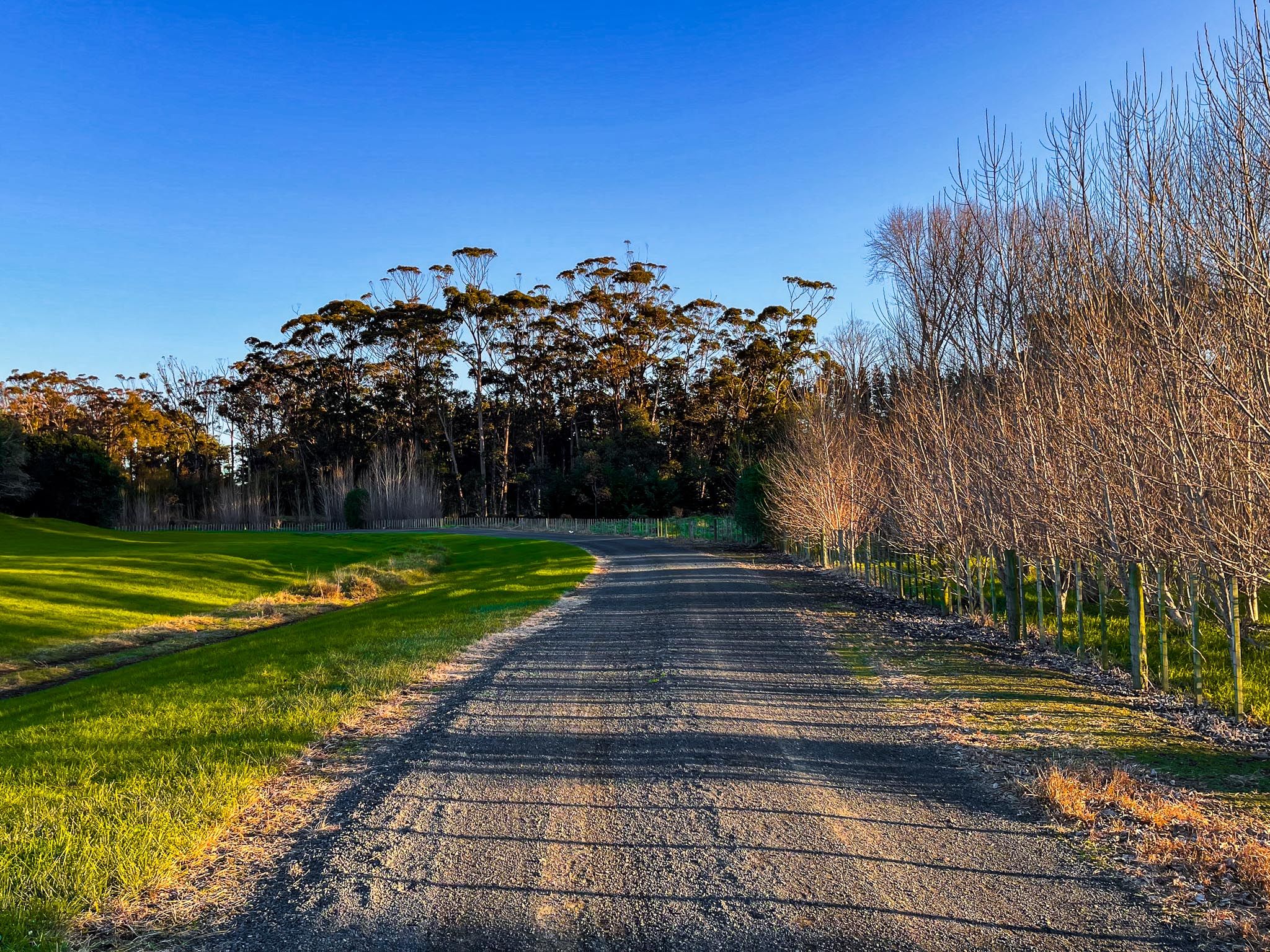
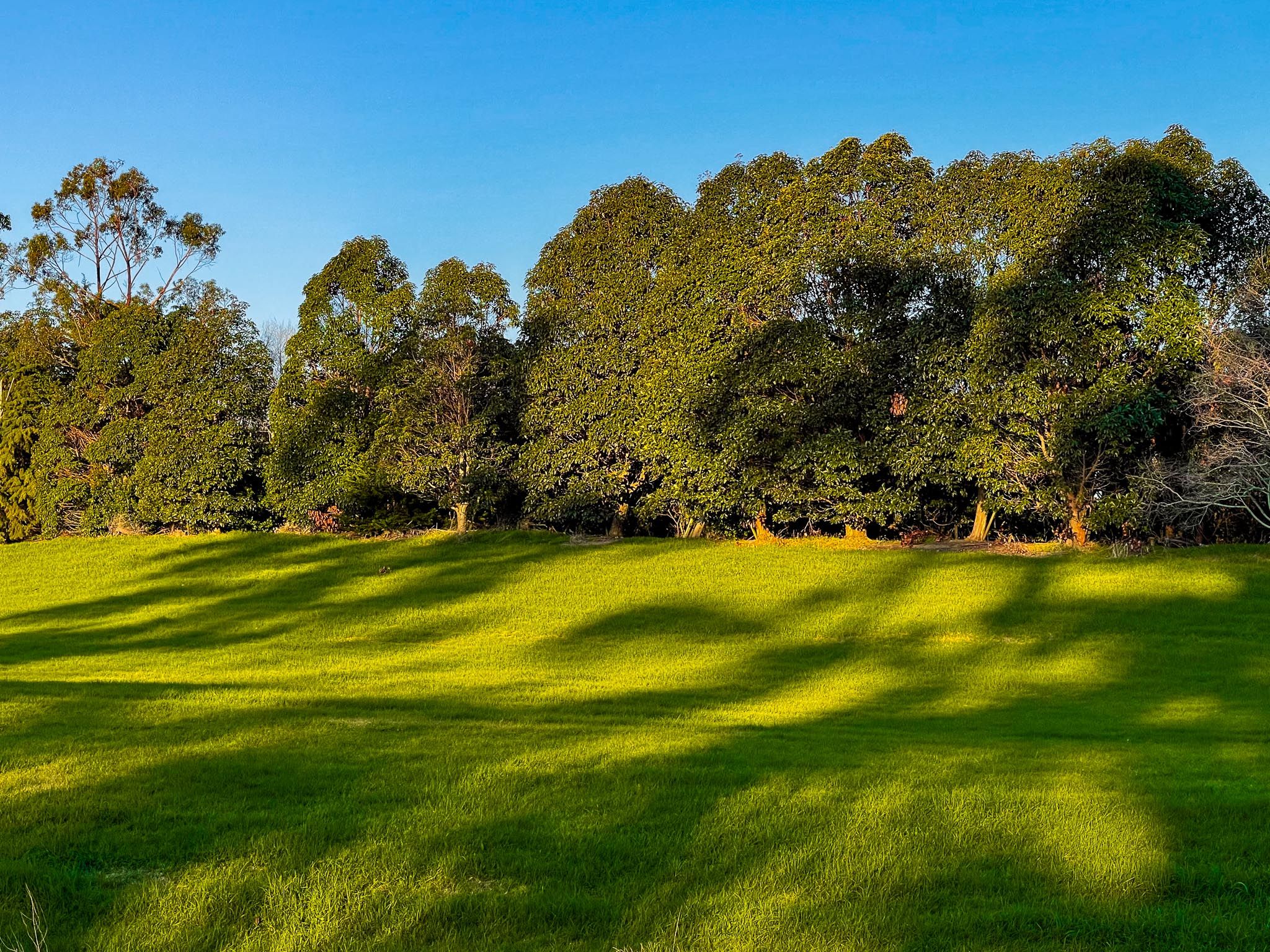
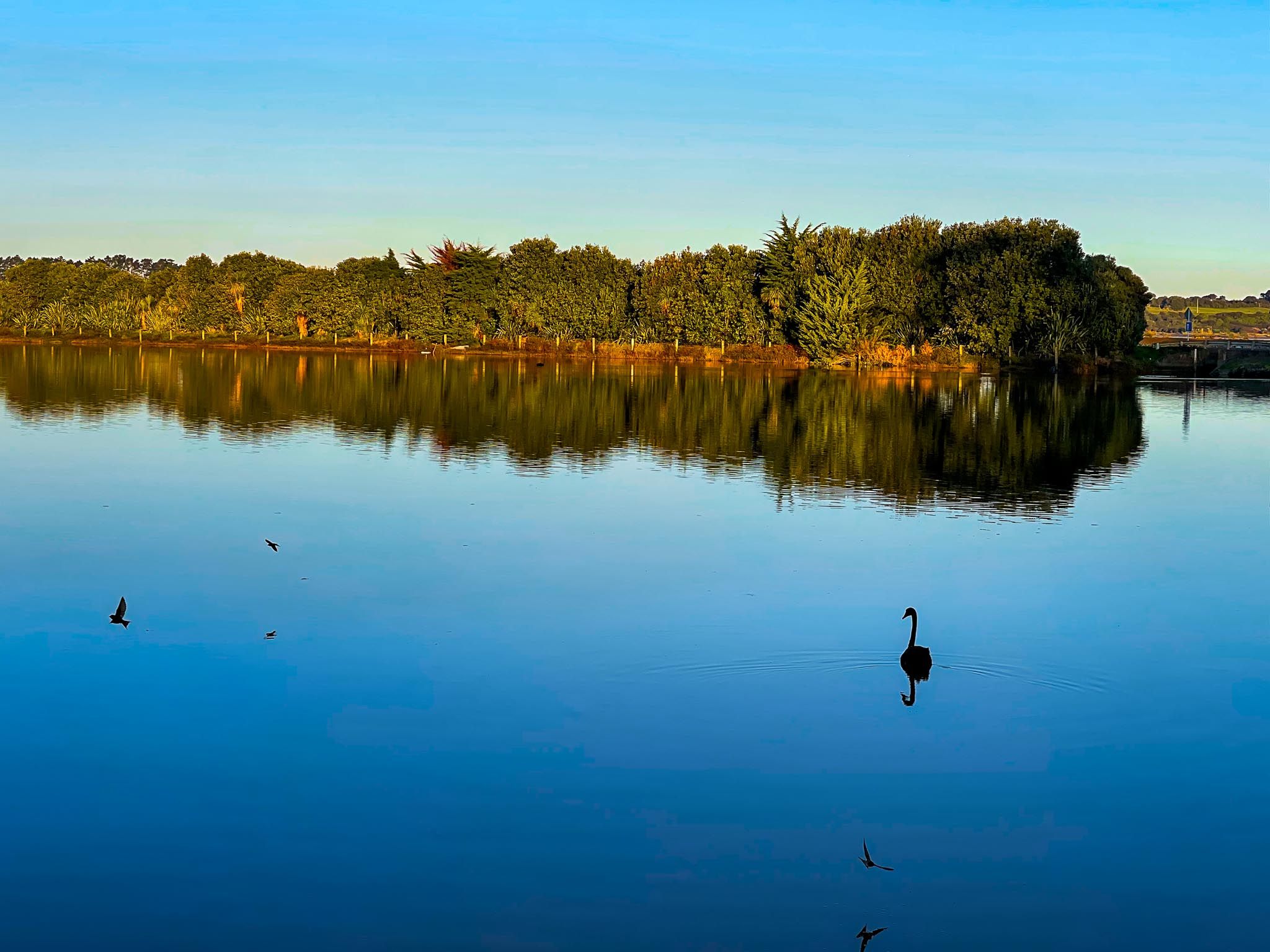
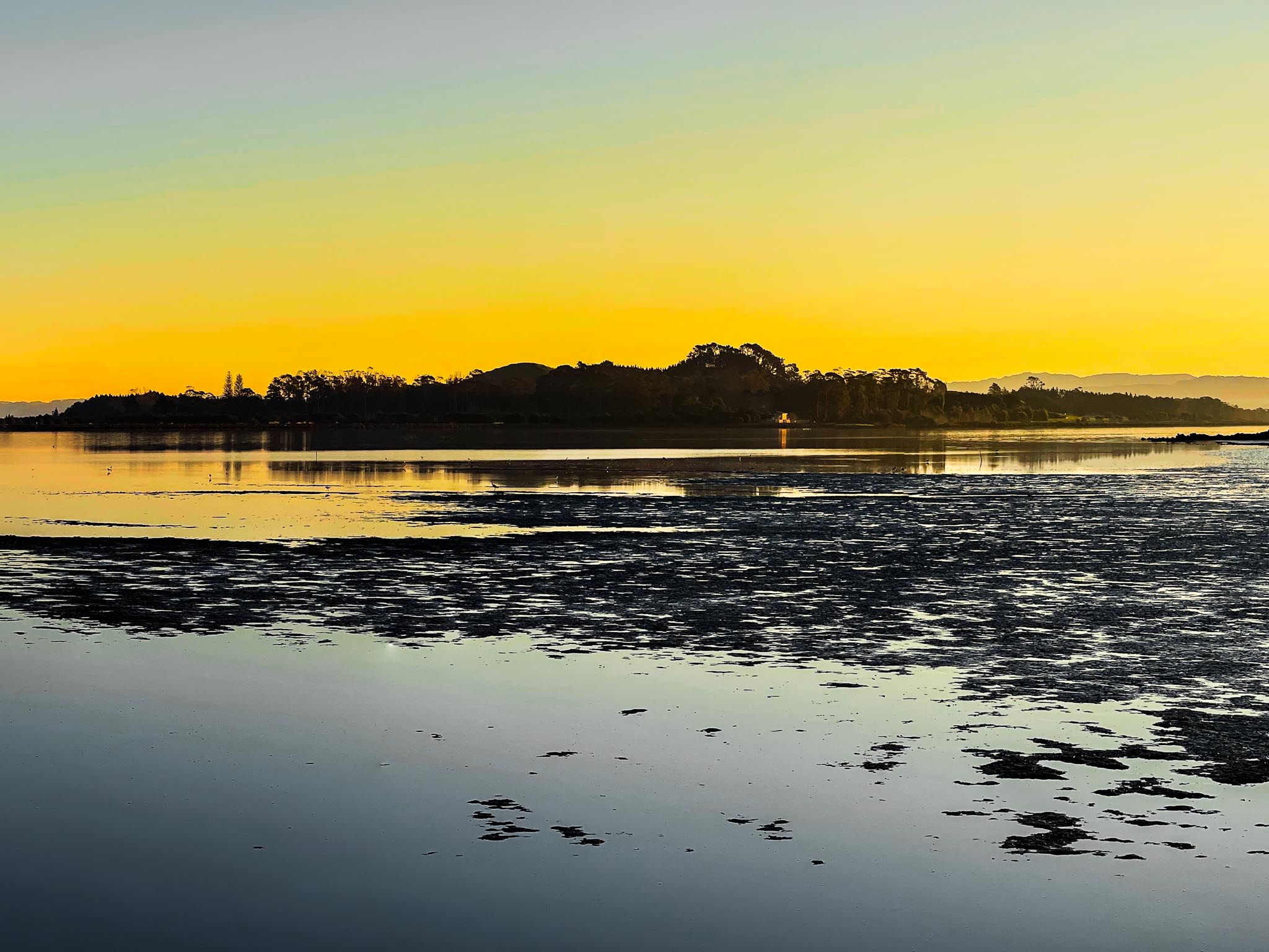
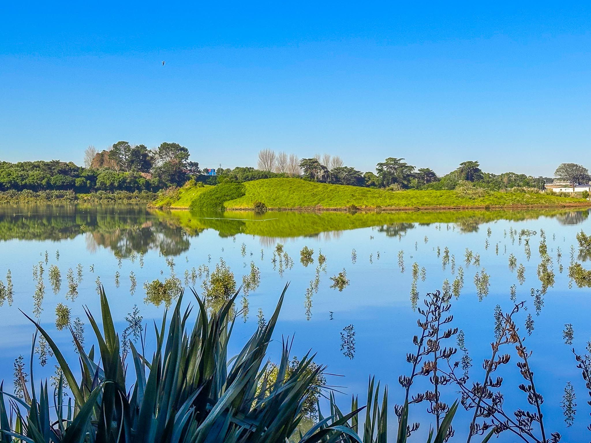
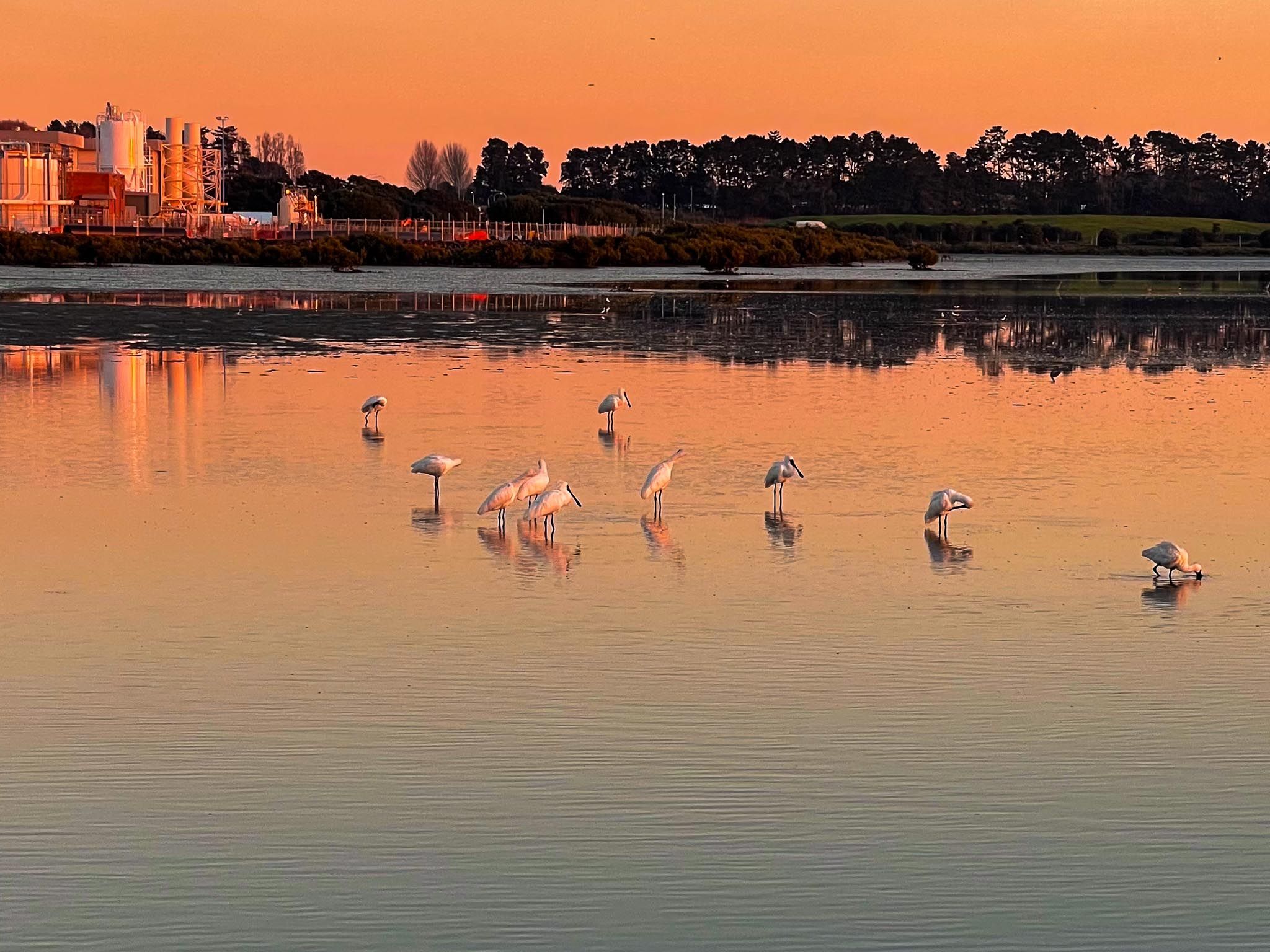
You can explore the island’s northeast and southeast coasts by following roads from the end of the causeway. These paths run alongside the harbour and shallow lagoons. Although the island's centre is closed for ongoing restoration, the accessible coastal areas are an interesting experience for walkers and cyclists. The lagoons, once used for sewage treatment, now attract various waterbirds, including black swans and geese.
Access to the Island
To visit Puketutu Island on foot or by bicycle, follow the Watercare Coastal Walkway south from Māngere Lagoon to the causeway. From there, head west along the shared track on the south side of the causeway to reach the island. You can return the same way to reconnect with the coastal path towards the Ōtuataua Stonefields. If travelling by car, access Island Road from Mark Ford Drive, park at the west end of the causeway, and explore the island on foot.
How to Get There
From Downtown Auckland, take the western motorway to the eastern motorway junction. Head south at the Junction (State Highway 20), then continue towards Mangere. Take the first off-ramp onto Mahunga Drive and head west under the bridge on Rimu Road. This becomes Church Road, then turn southwest onto Wallace Road. Follow Wallace Road for several km, past and around Māngere Lagoon, then turn west onto Creamery Road. From there, turn south onto Greenwood Road, then west again onto Island Road. Park at the end of this road.
Other places to explore along the Mangere coast include the Kiwi Esplanade Road, Watercare Coastal Walkway, which links Ambury Regional Park to Māngere Lagoon, Puketutu Island, Ōtuataua Stonefields, Maunga-taketake / Elletts Beach and Ō Whata / Renton Beach.